







Hochalmspitze 1921m
Poziom trudności: T2
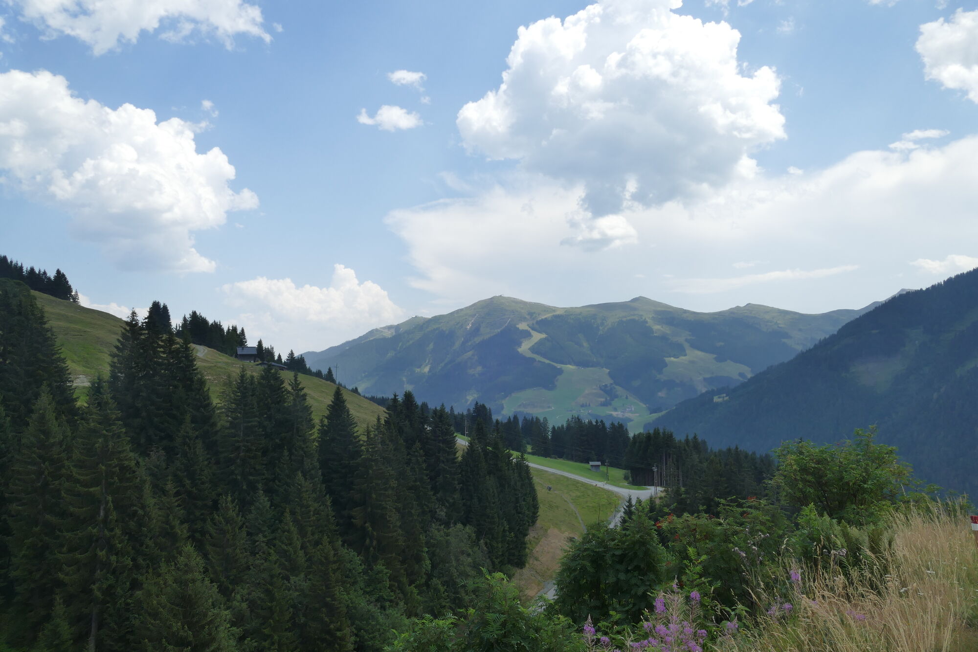
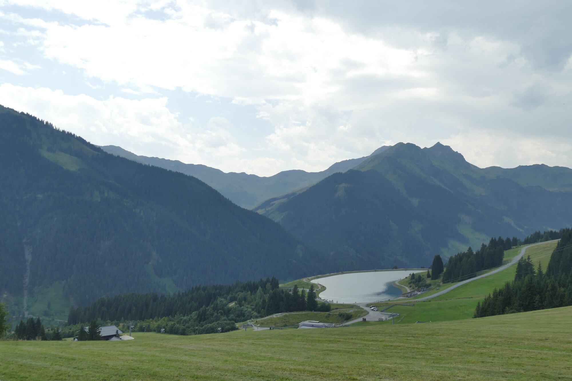
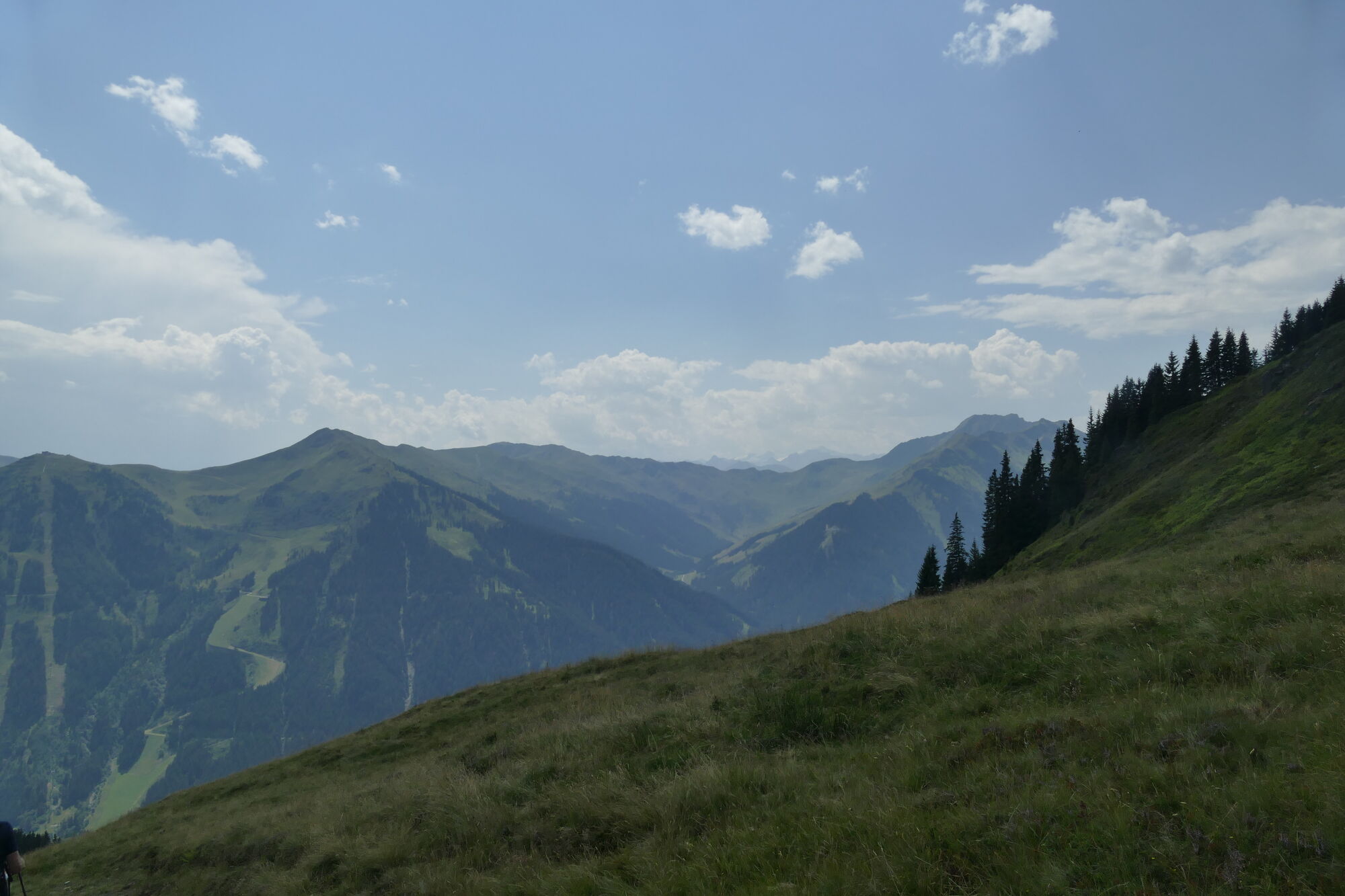
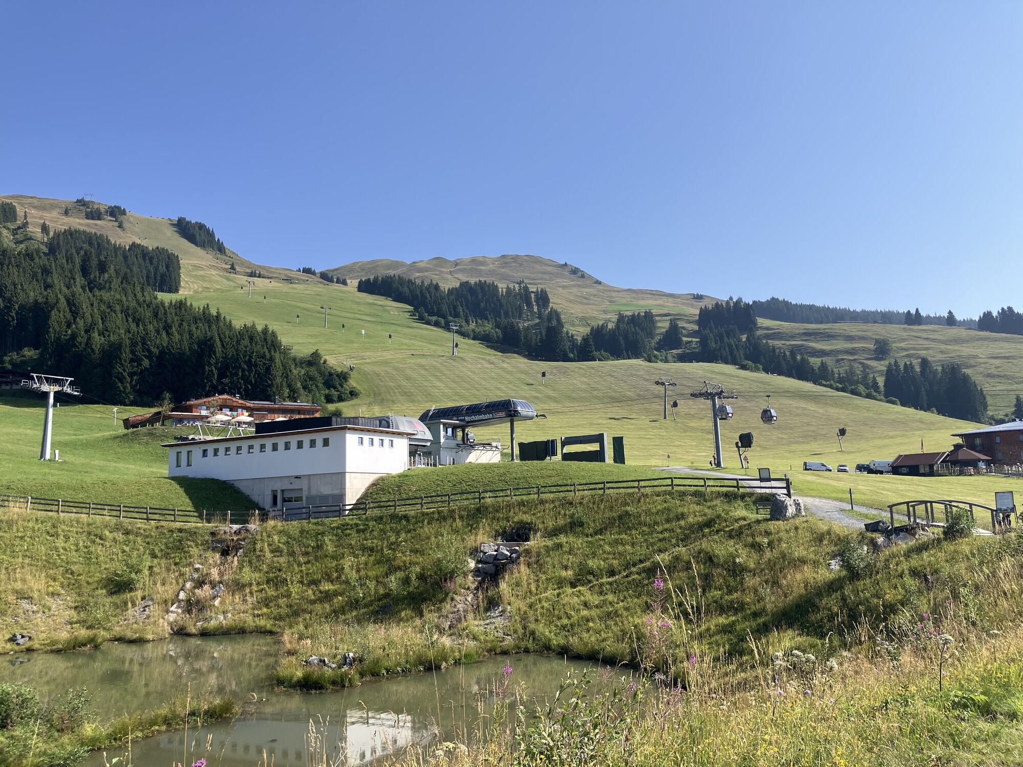
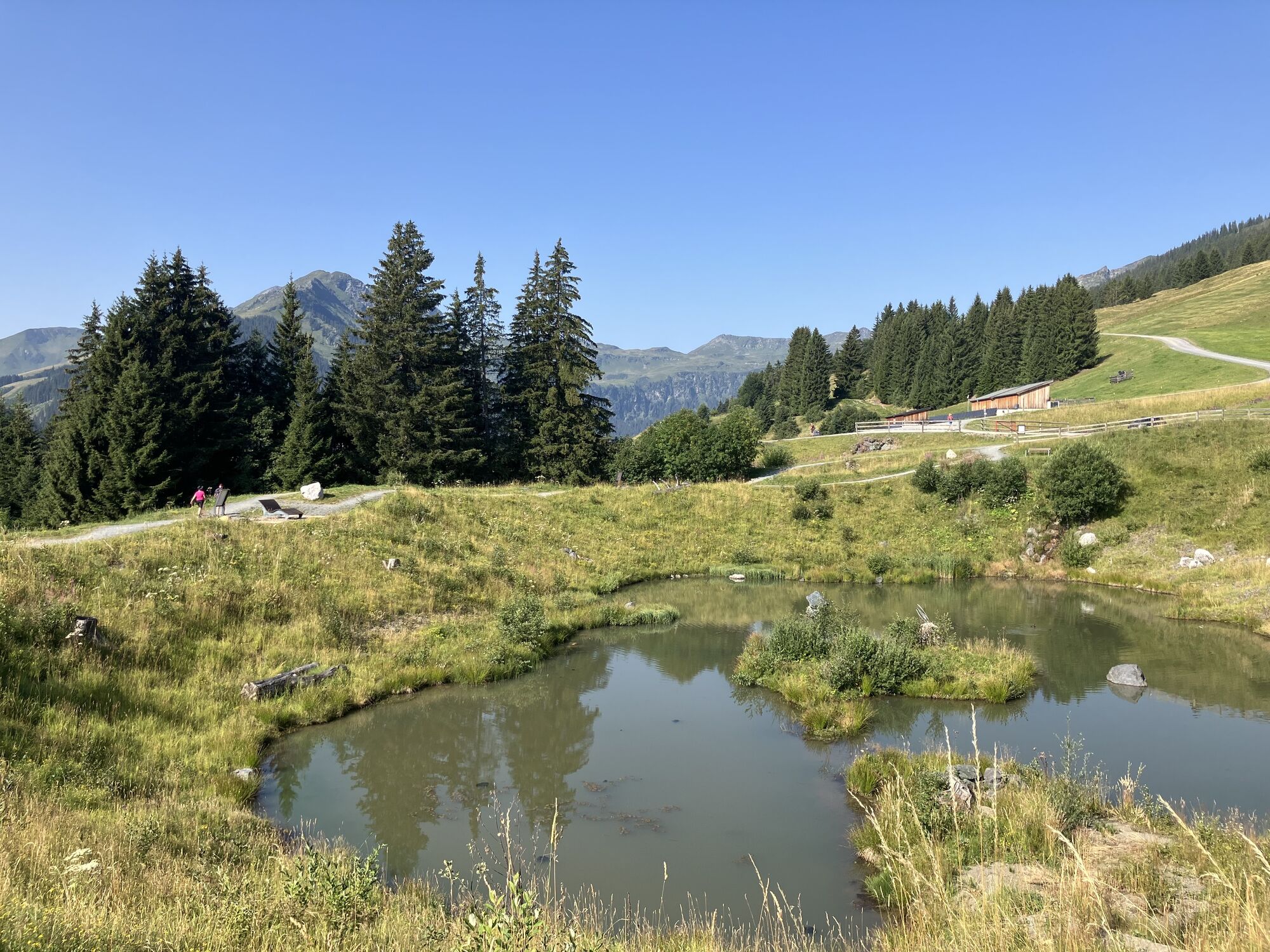
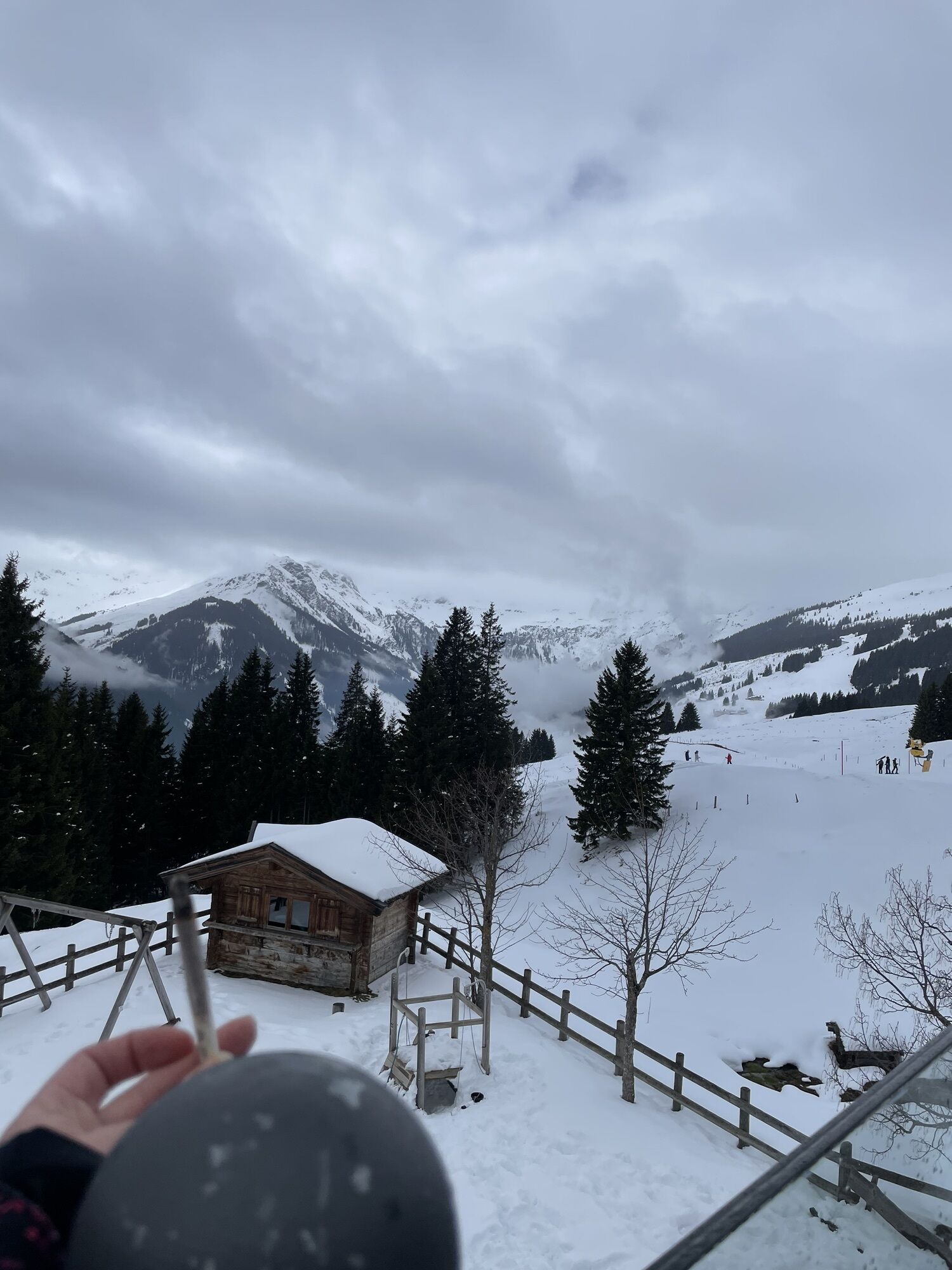
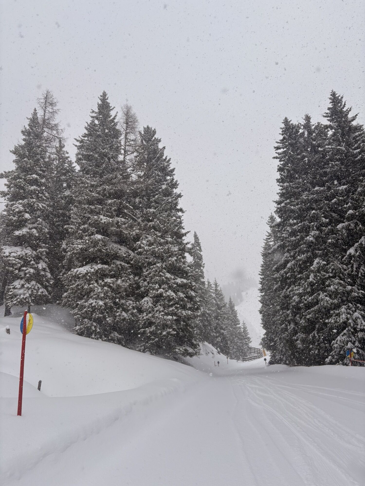
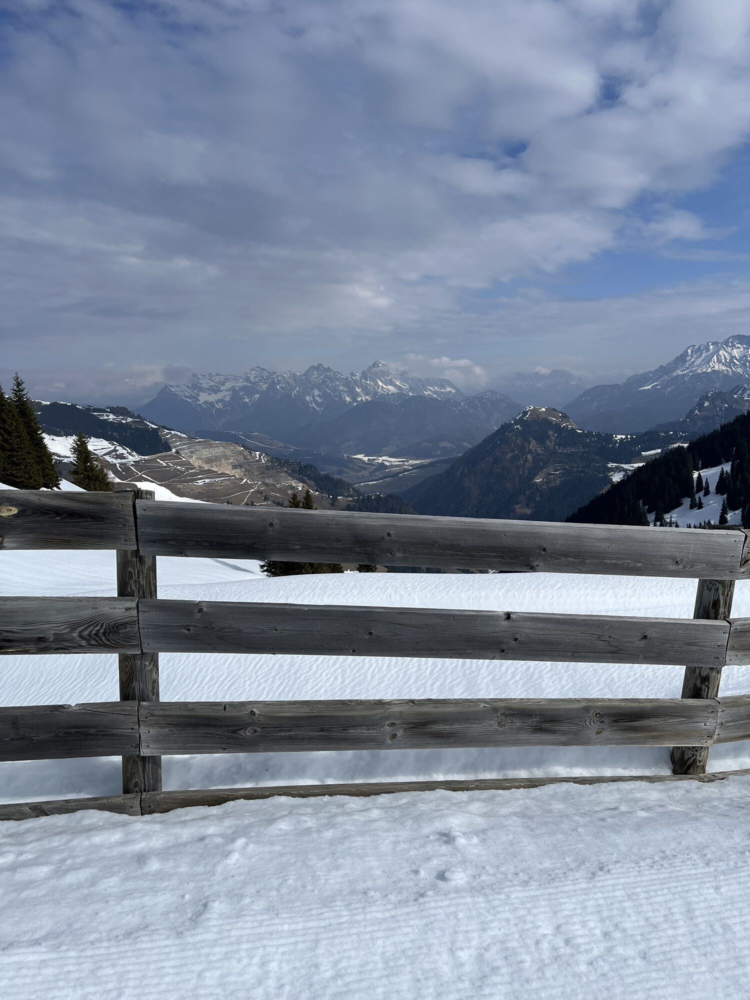
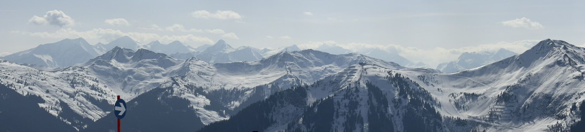
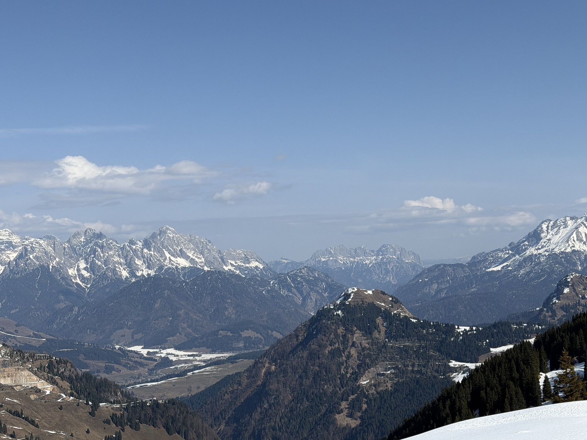
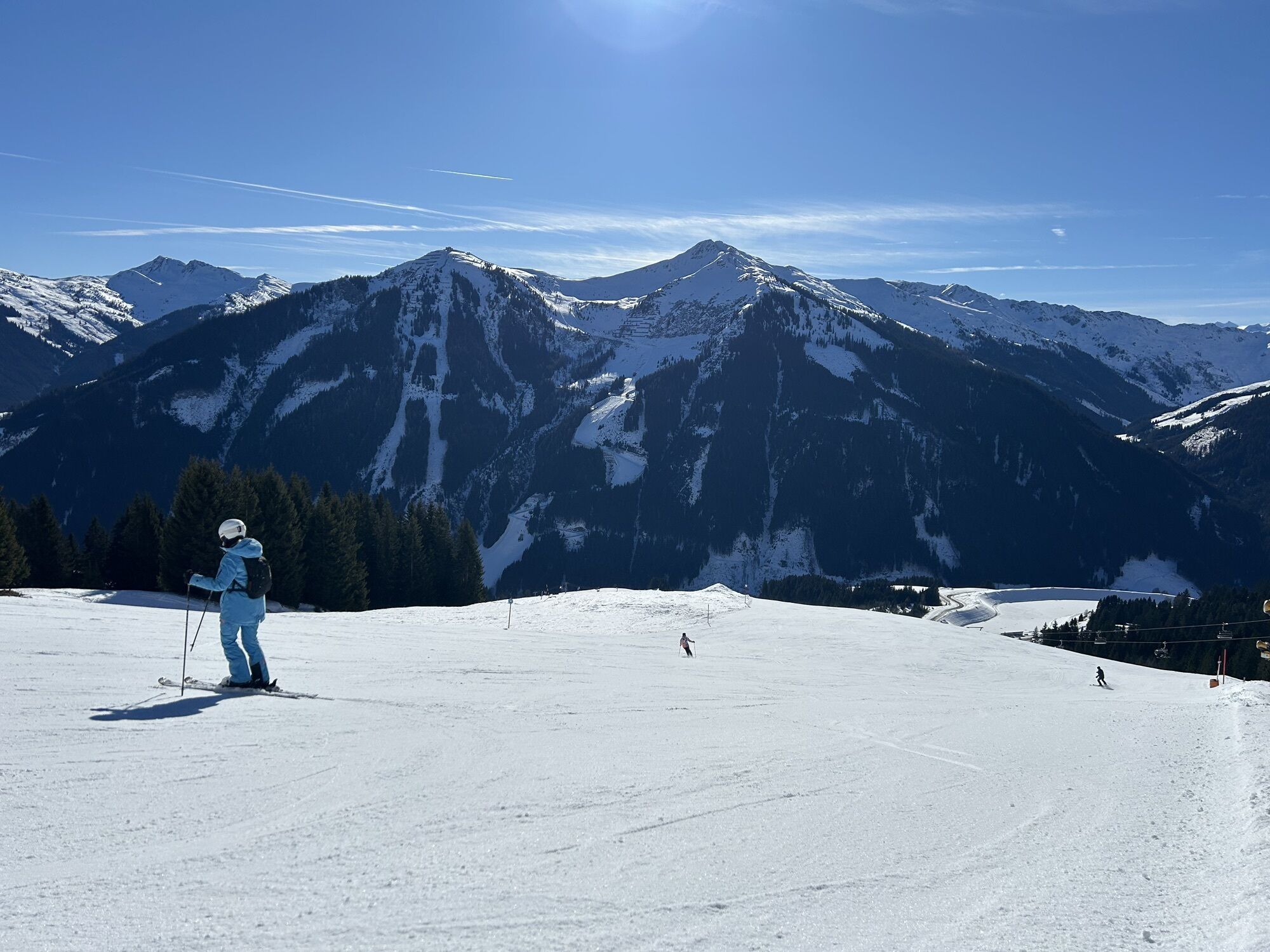
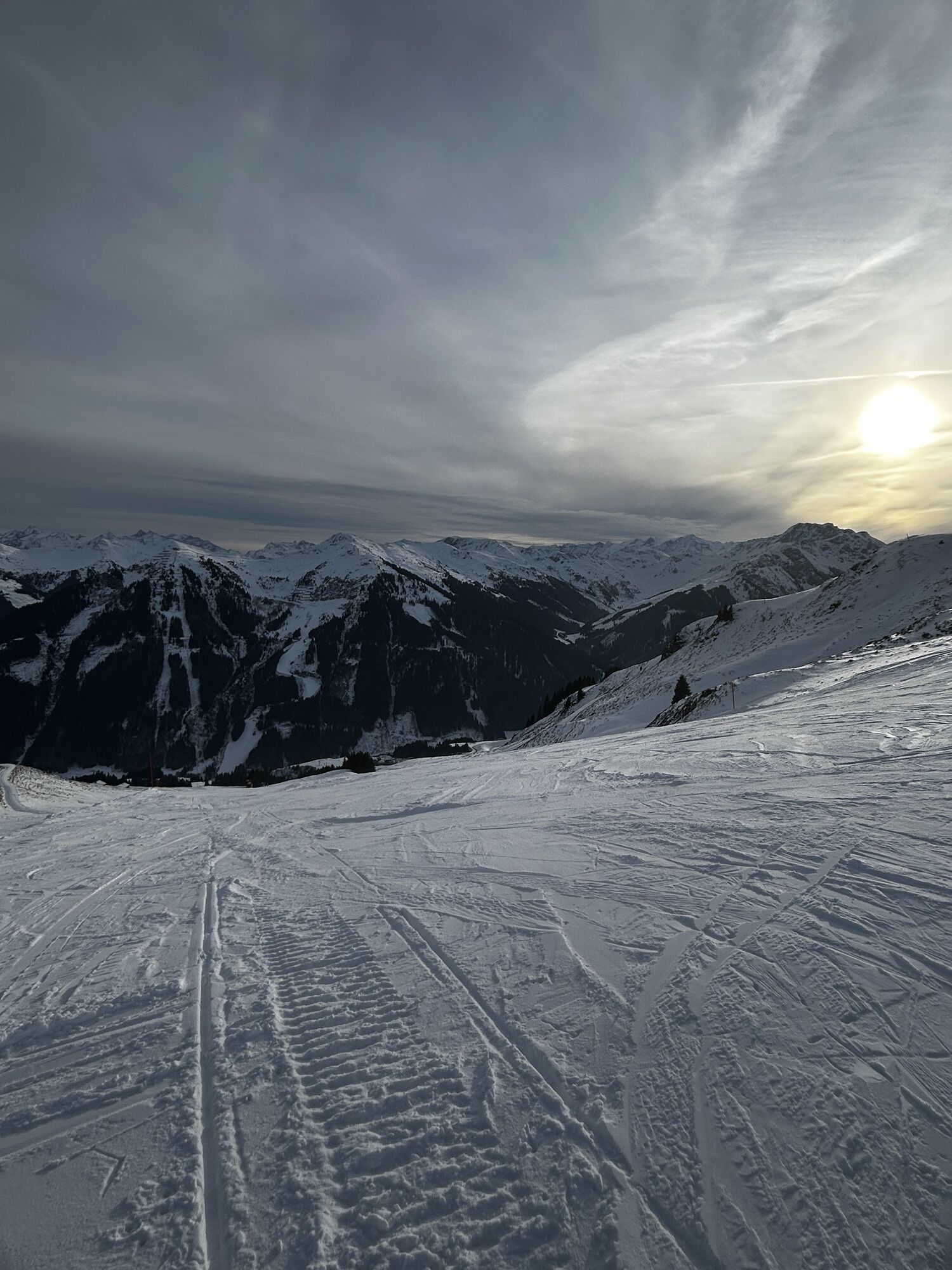
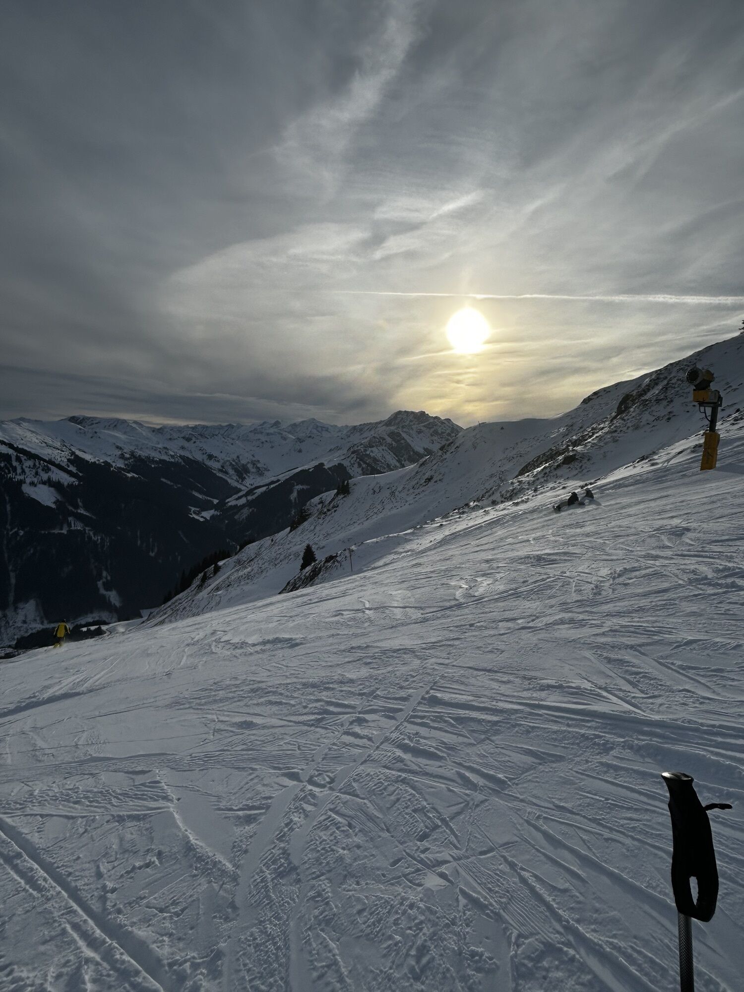
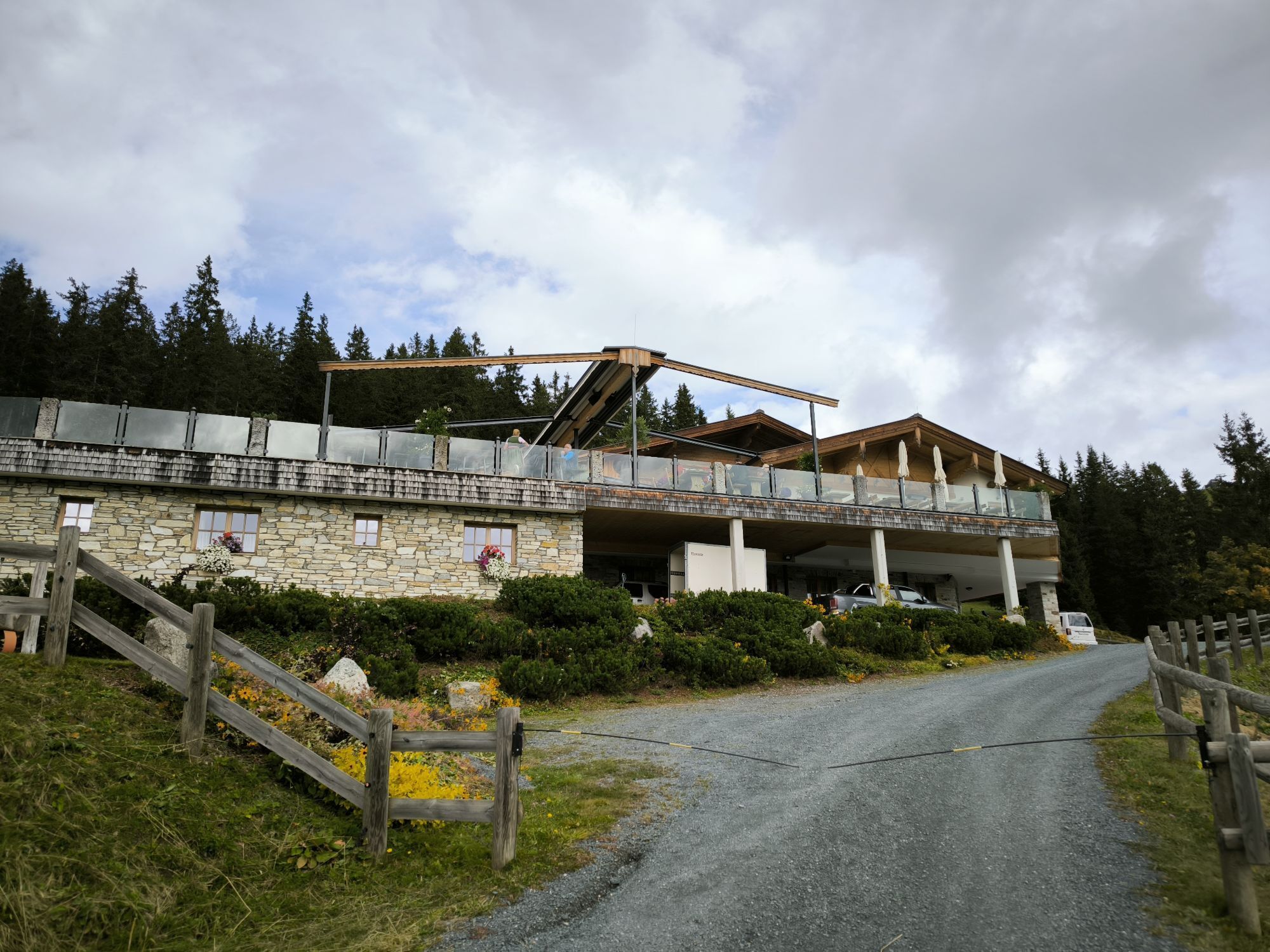
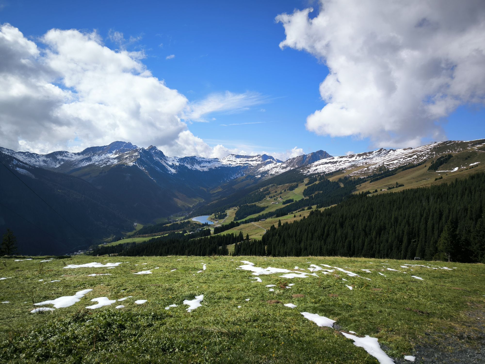
Very nice circular route, first on a forest road and later through the forest and over alpine terrain to the Hochalmspitze.
During the entire route, beautiful panorama with the Northern Limestone Alps to...
During the entire route, beautiful panorama with the Northern Limestone Alps to the north and the High Tauern to the south.
Did you know? Saalbach Hinterglemm has been awarded the ‘Hiking Seal of Quality’ by the organisation ‘Austria’s Hiking Villages’. This certificate requires a destination to meet strict quality standards in its hiking facilities and ensures that you’ll have a great time in the mountains.

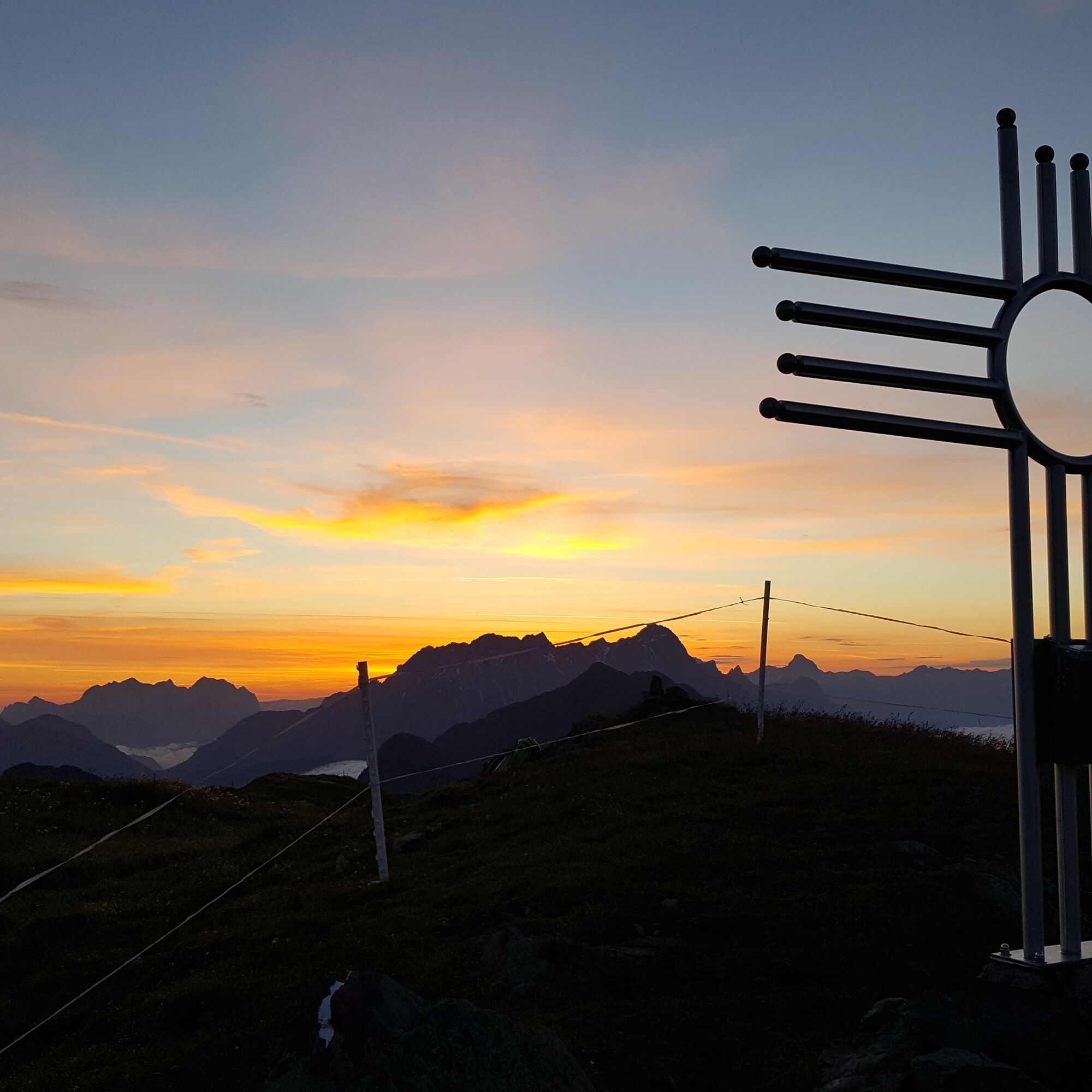
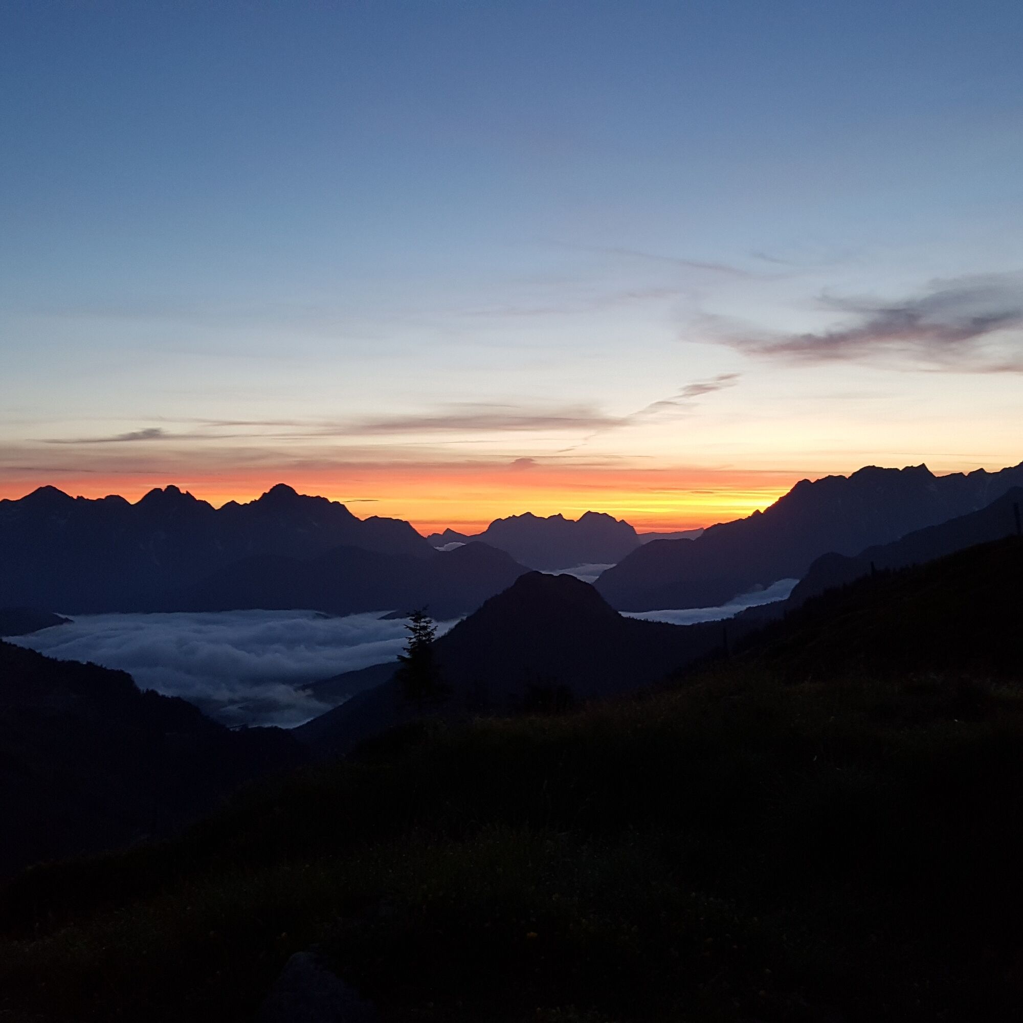
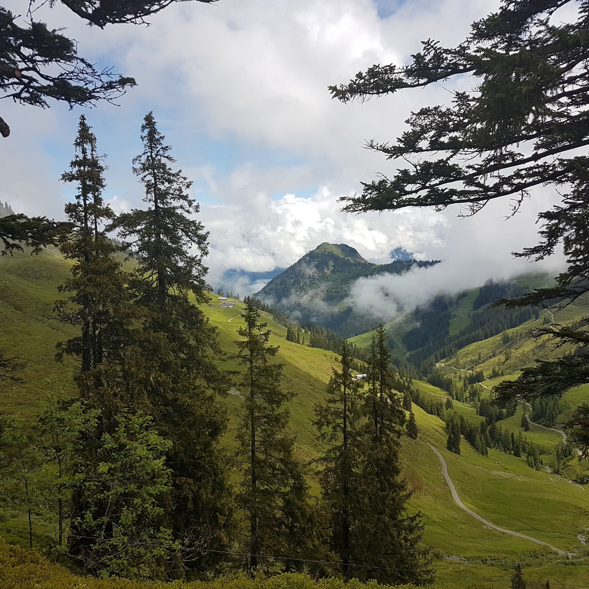
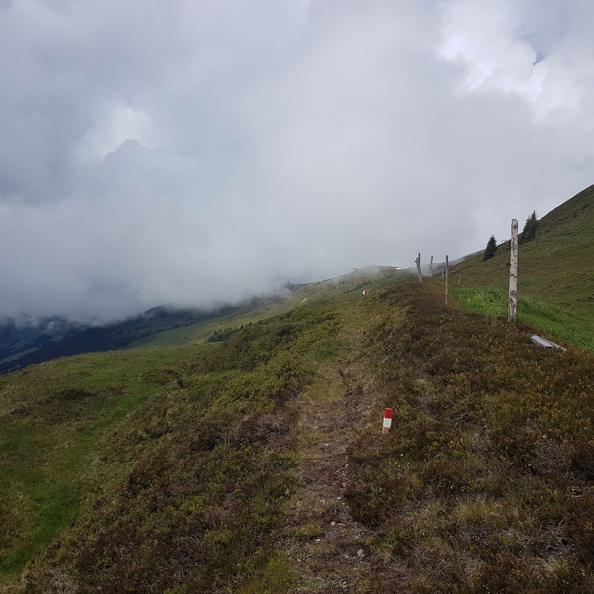
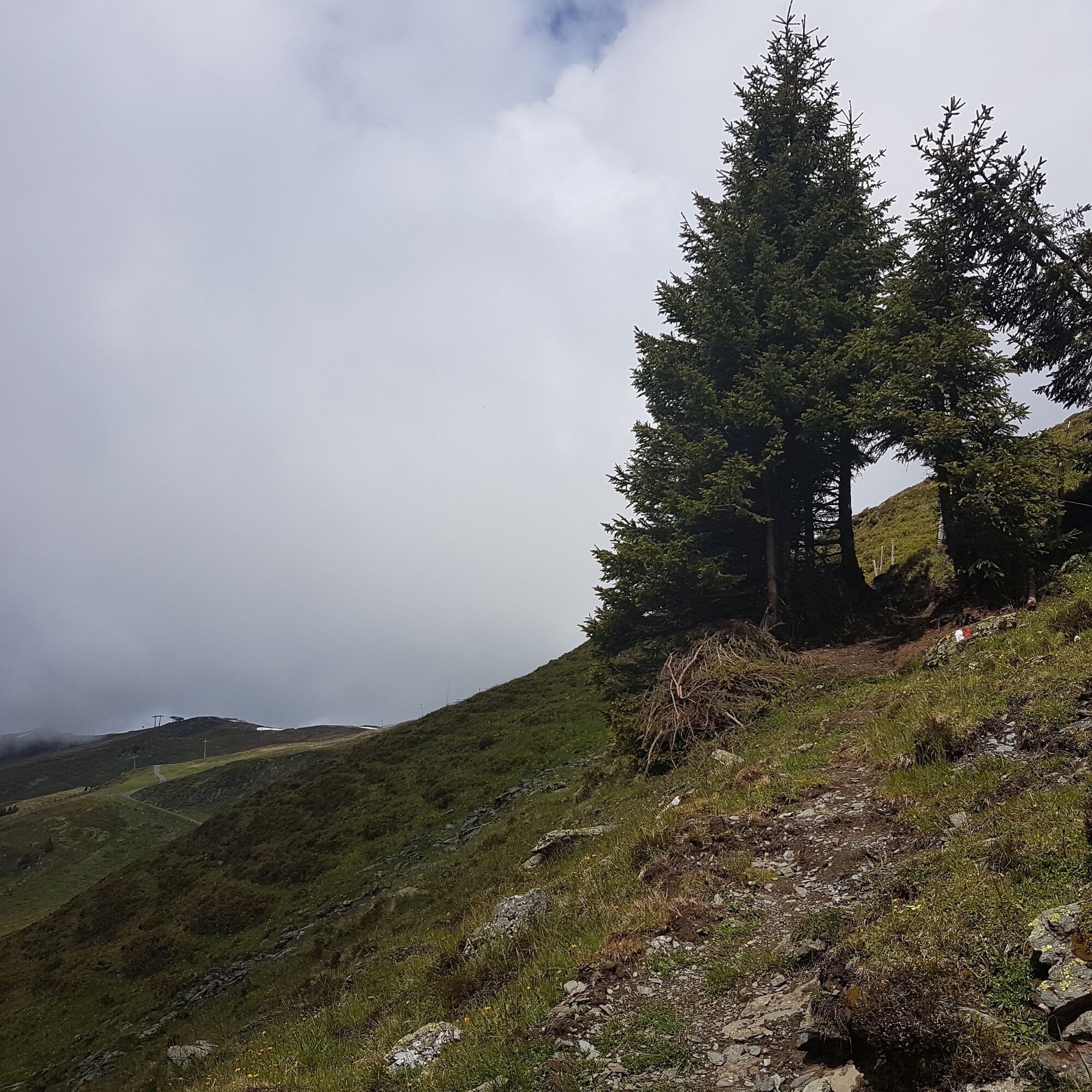
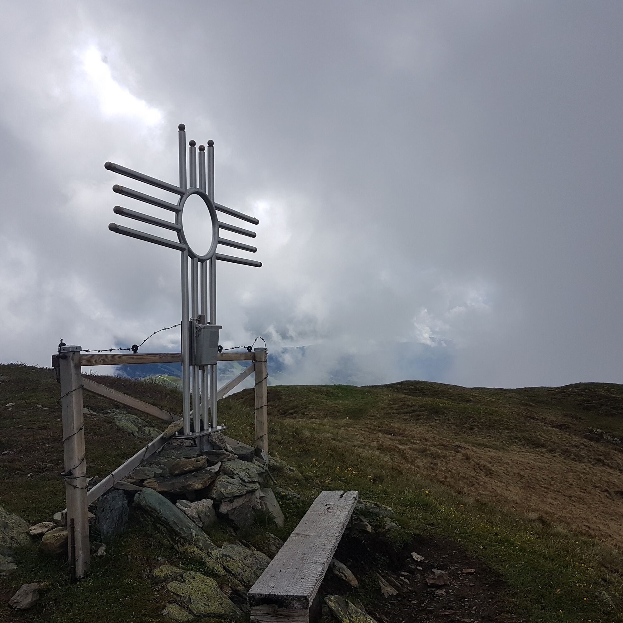

Now through the Rosswald and then somewhat steeper over alpine terrain to the summit.
The descent goes via a hiking trail to the unmanaged Hinterreichkendlhütte and over a steep, natural trail back to the starting point.
Tak
Tak
Hiking equipment, mountain hiking boots, and poles are advisable.
The path from the Rosswaldhütte to the summit is newly laid out, so mountain or hiking boots are recommended.
T2
Observe the operating times of the Hochalm cable car.
En option, il est également possible de descendre de la cabane Hinterreichkendlhütte par l'Oasis alpine Sonnhof jusqu'à Kolling.
 Uzyskaj wgląd Zawsze na żywo z ponad 9 500 kamer internetowych. bergfex Jako użytkownik Pro, możesz teraz zobaczyć odpowiednie kamery internetowe dla wielu wycieczek w aplikacji wycieczki od. Pozwala to na bezpośredni podgląd aktualnych warunków.
Popularne wycieczki w okolicy
- 4,4
Kitzbüheler Horn über Horn-Gipfel-Höhenweg
średniTrasa tematyczna 5,30 km - 4,2
Maurerkogel (Top)
Wędrówka 10,5 km - 4,6
St. Johann in Tirol: Wasserfall & 3 Seen am Kitzbüheler Horn
średniWędrówka 12,7 km - 4,1
Berg der Sinne
światłoWędrówka 4,39 km - 4,9
Hochsonnberg Runde
średniMountainbike 59,8 km - 5,0
Leo’s play hiking trail
światłoTrasa tematyczna 4,89 km - 4,6
Panorama route 3 peaks and 2 lakes
średniWędrówka 7,21 km - 4,3
Saalachtaler Höhenweg EAST (Asitz - Biberg)
średniWędrówka 13,1 km - 4,4
Kitz Bhf- Kitzbühler Horn und zurück zum Alpenhaus
średniWędrówka 11,8 km - 4,7
Tristkogel
ciężkiWędrówka 15,6 km
Wędrówki i tropienie


Nie przegap ofert i inspiracji na następne wakacje
Twój adres e-mail została dodana do listy mailingowej.





