







Neukirchen: Herrensteig

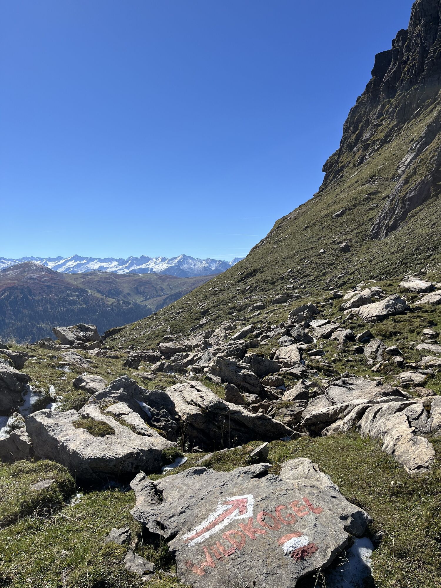
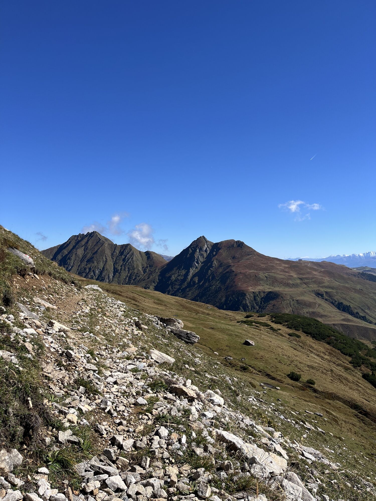
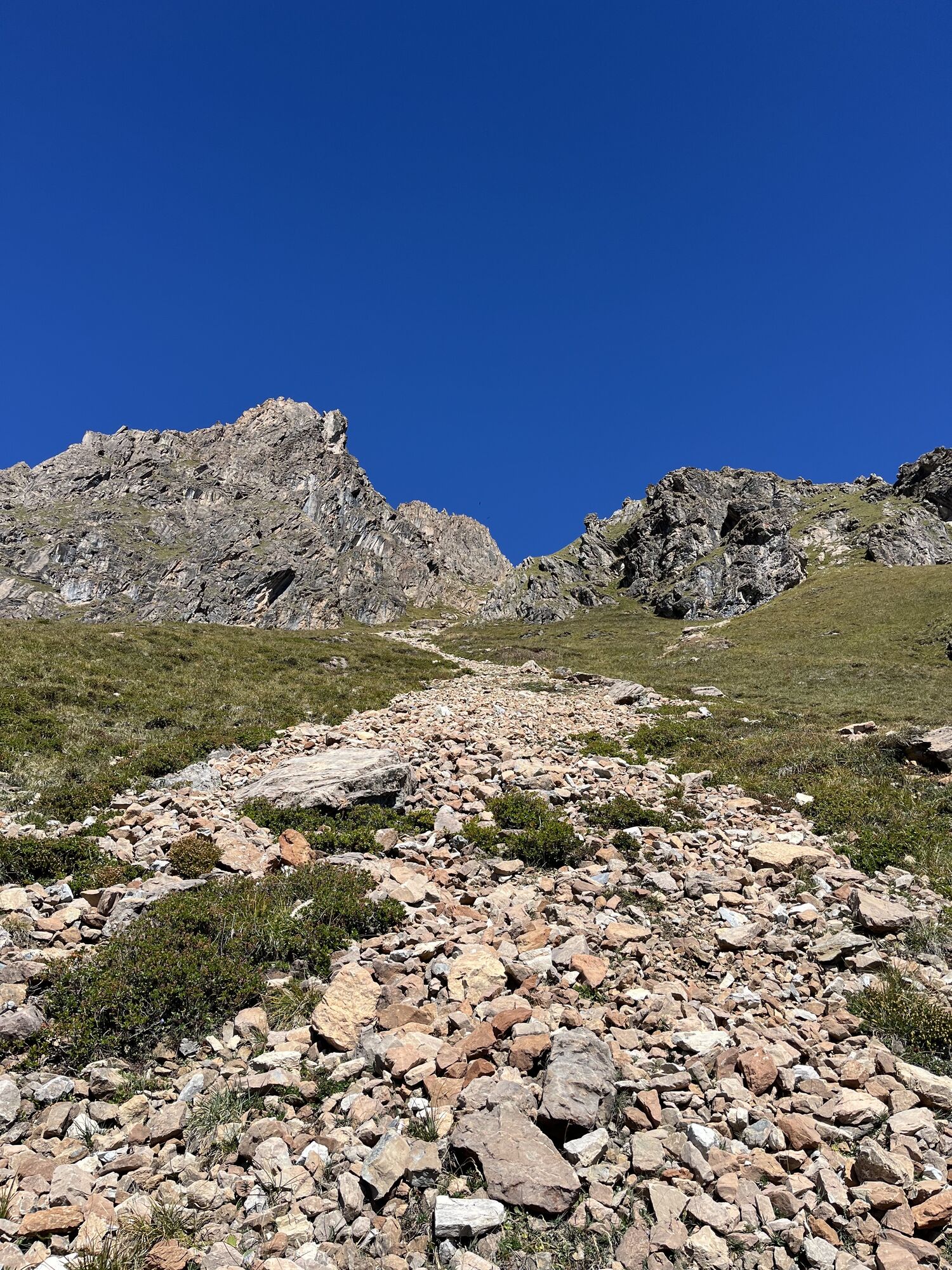
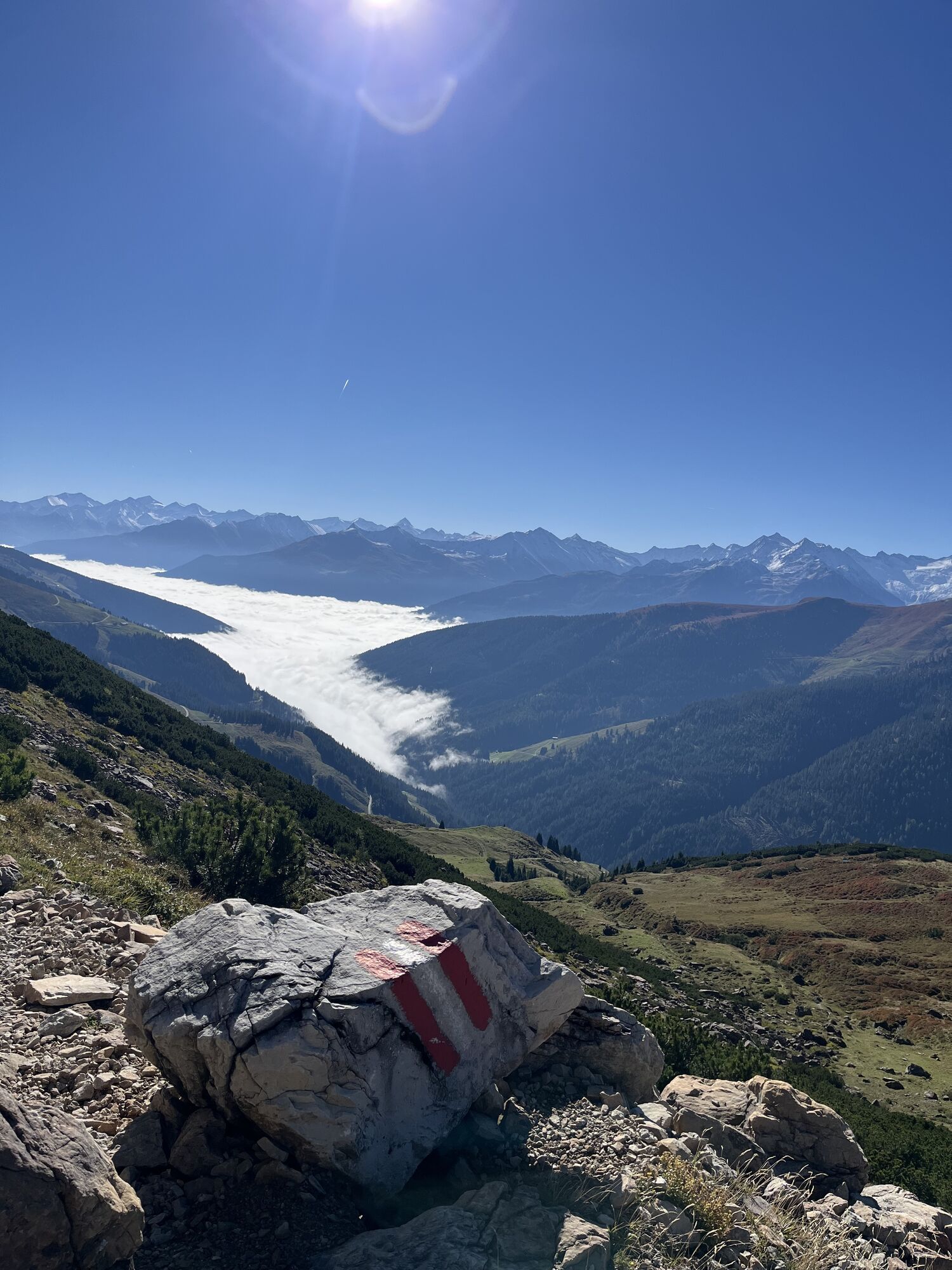
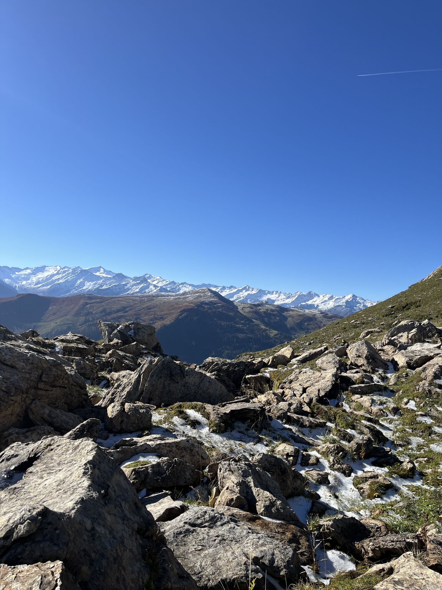
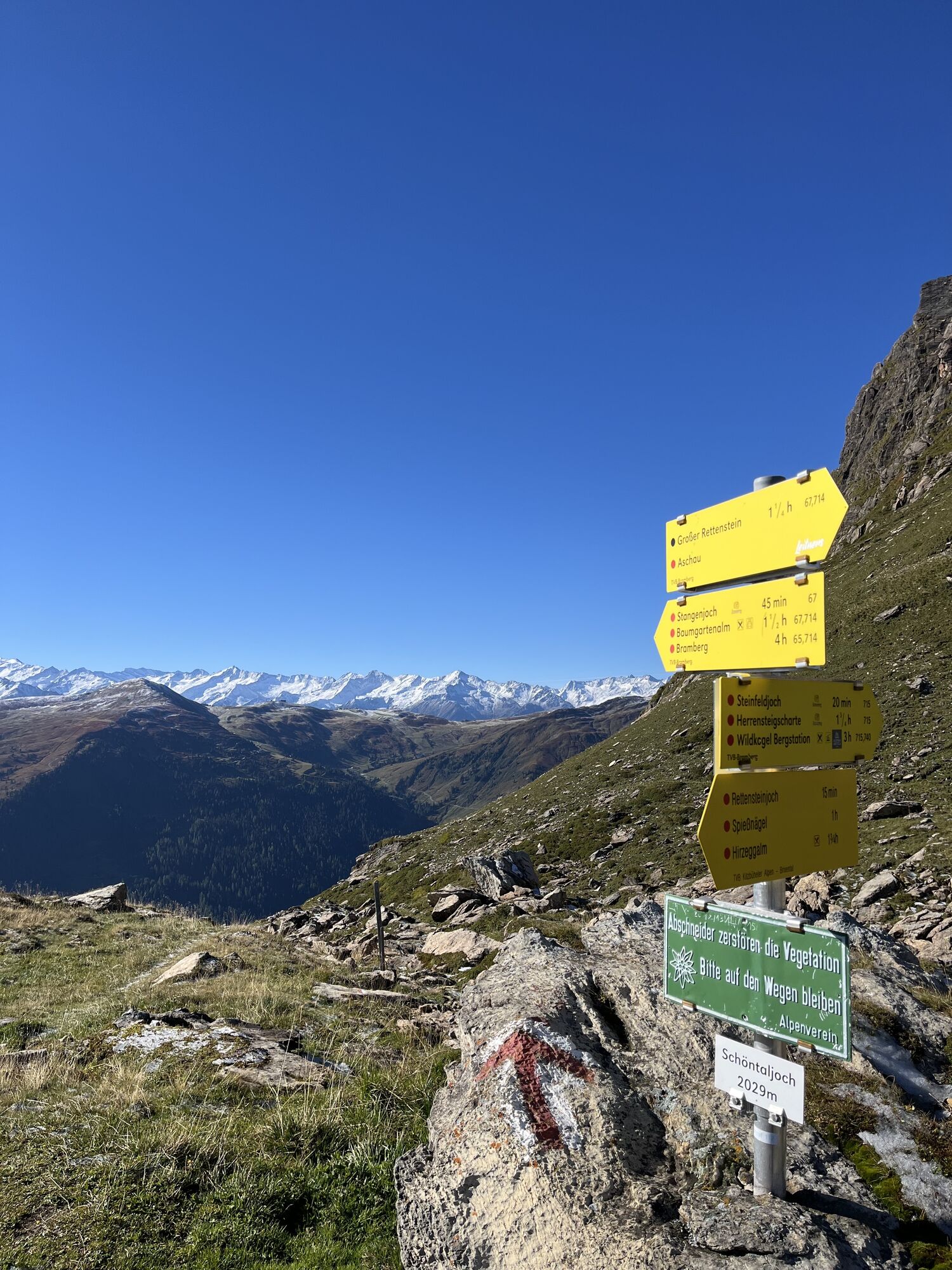
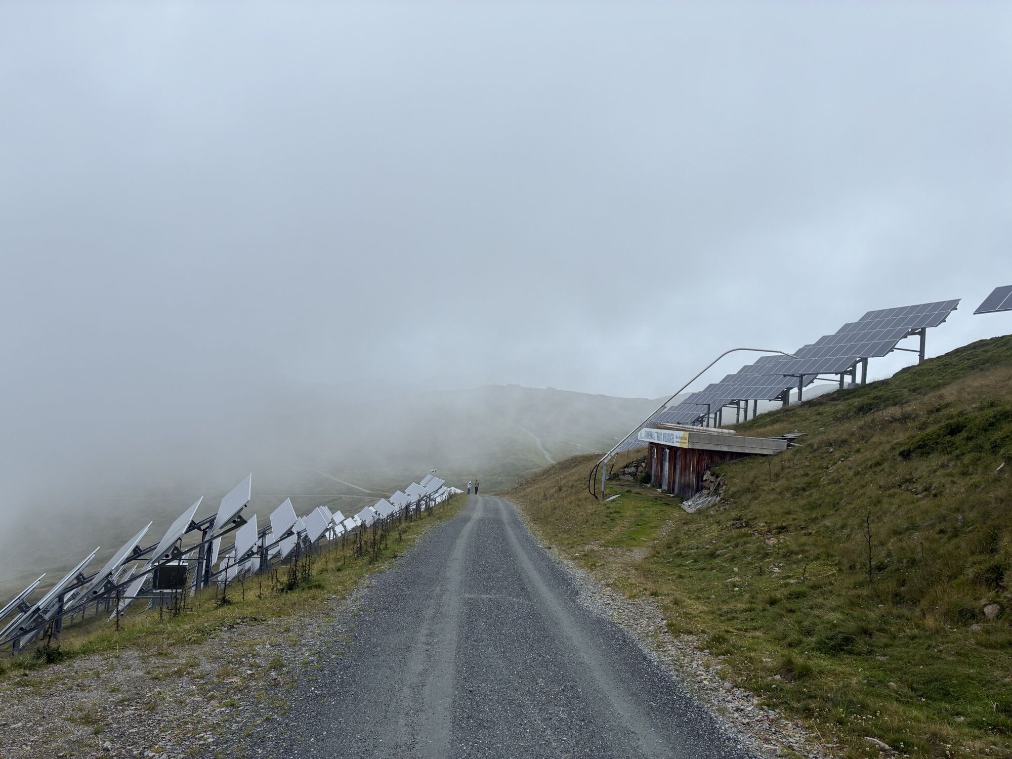

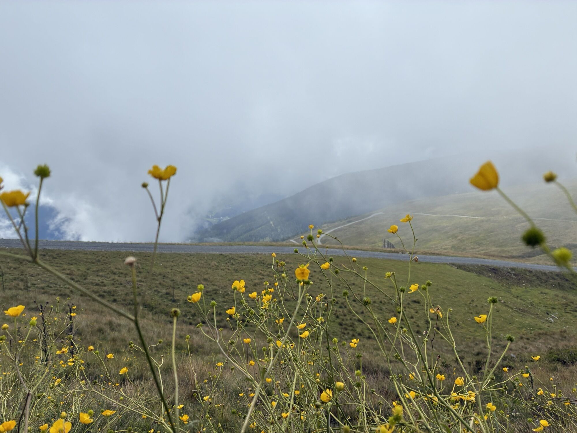
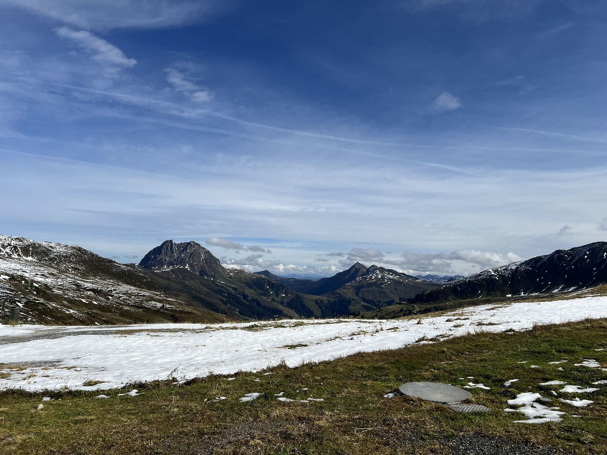
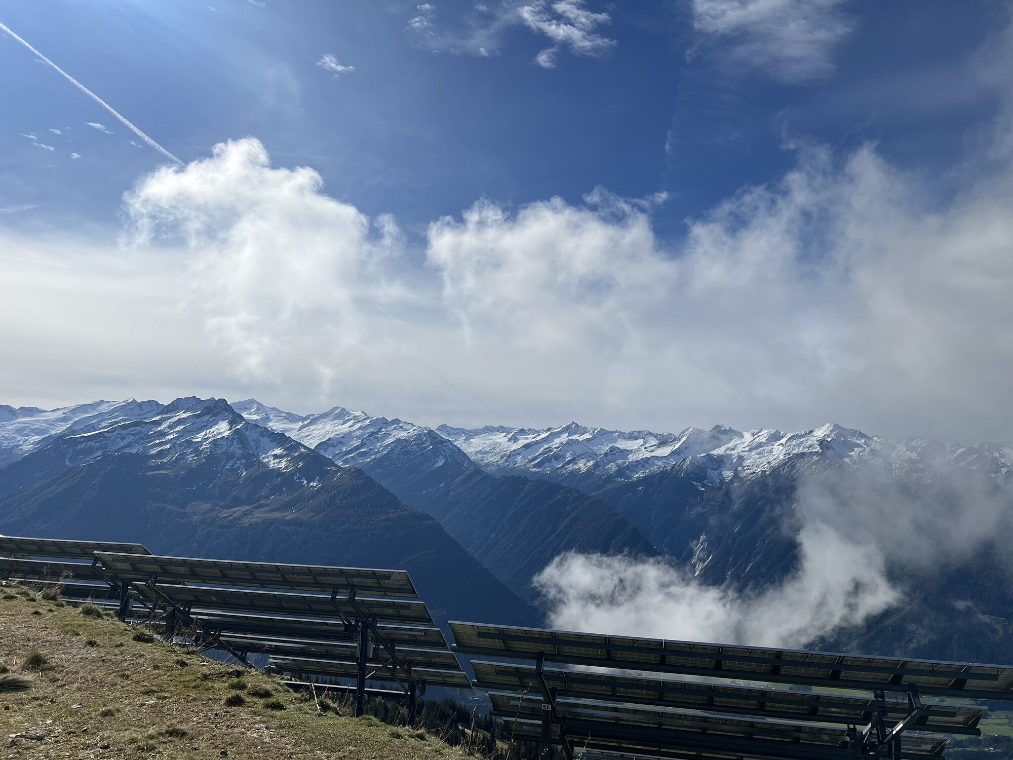
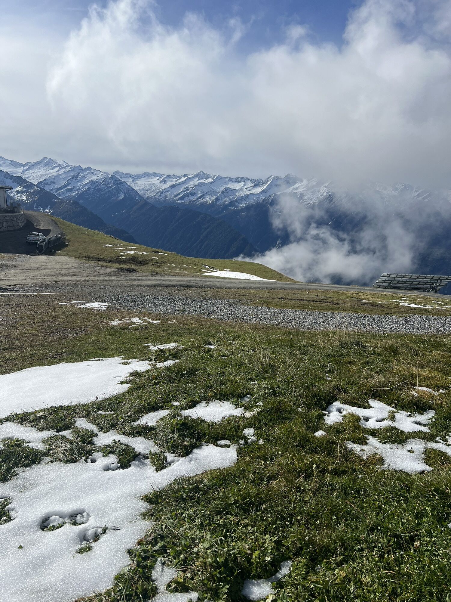
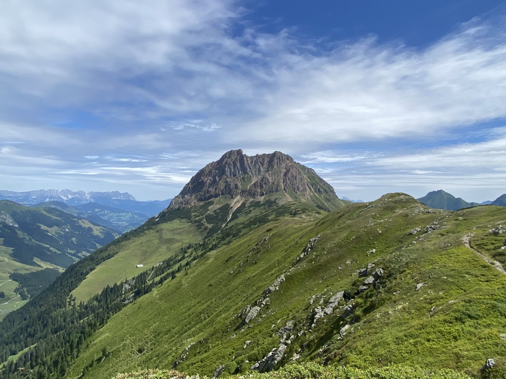
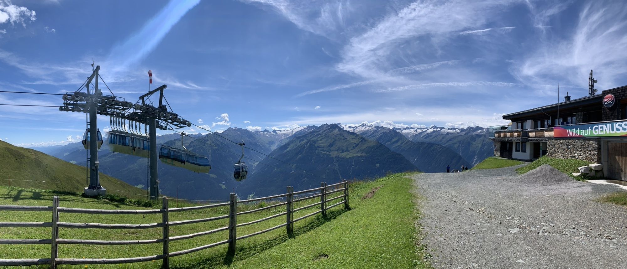
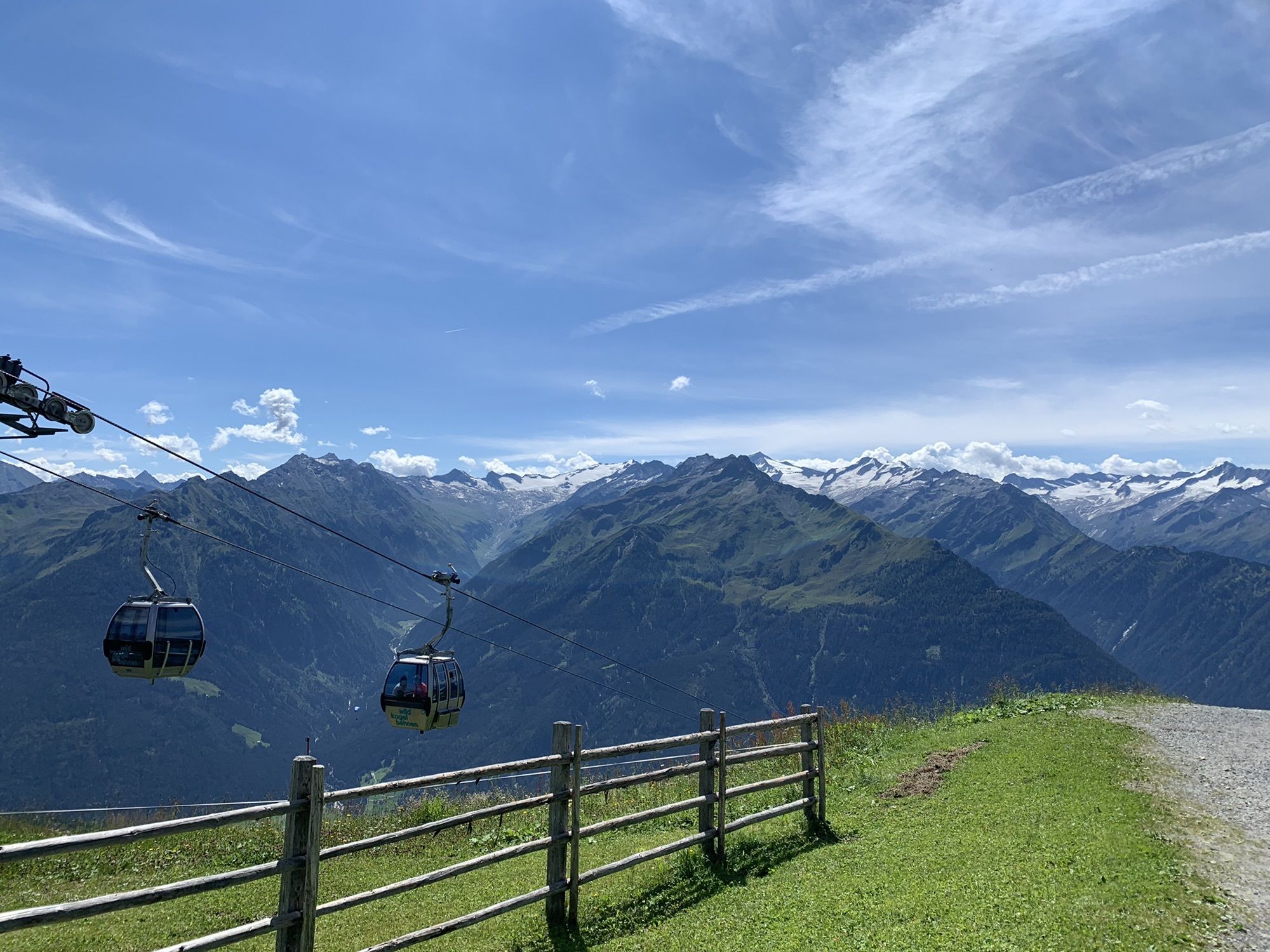
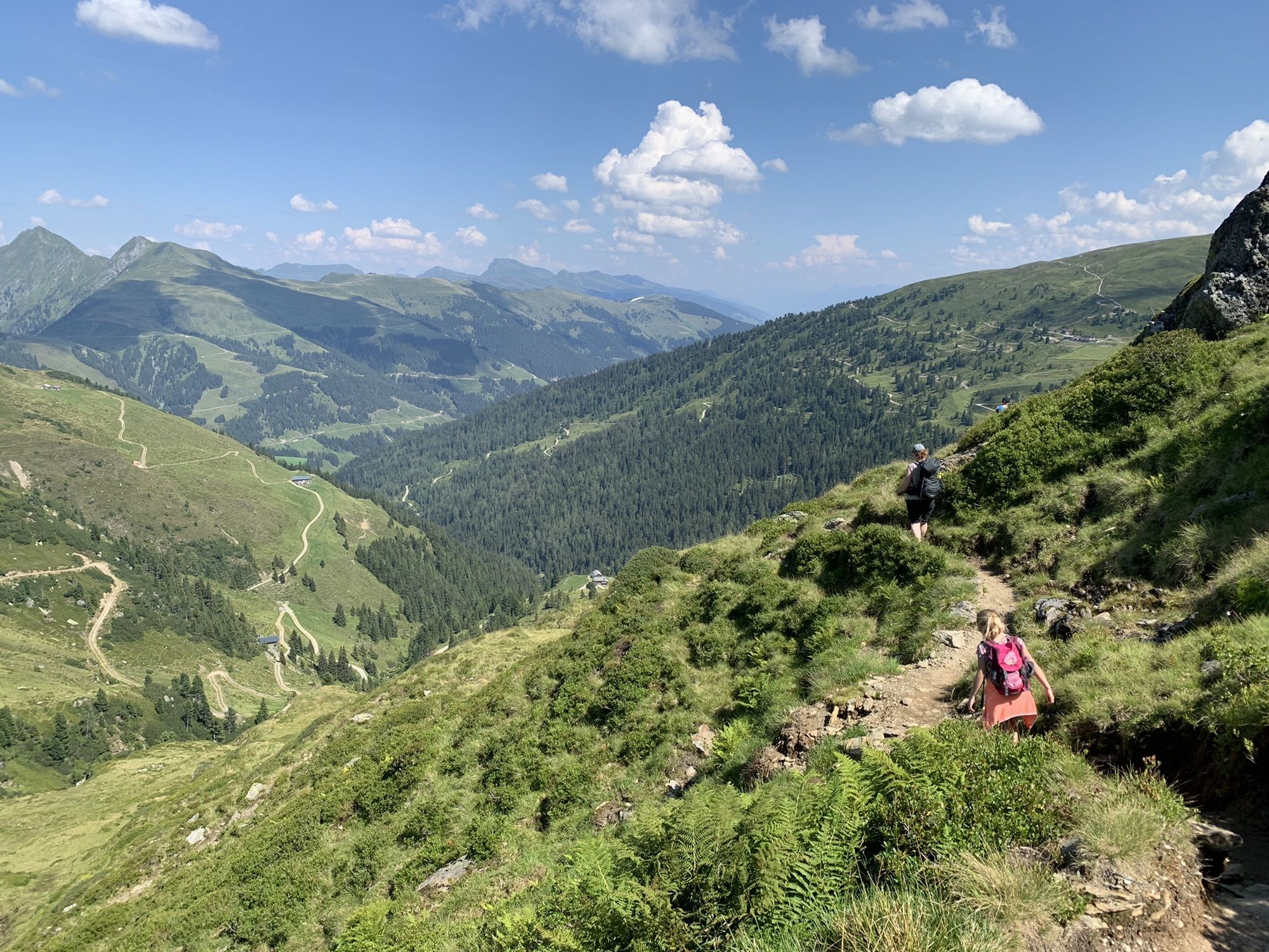
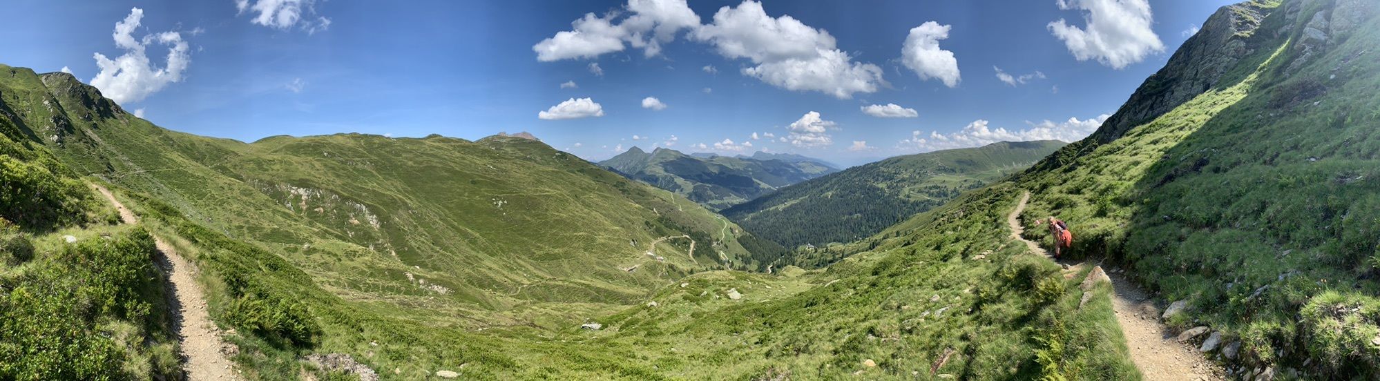

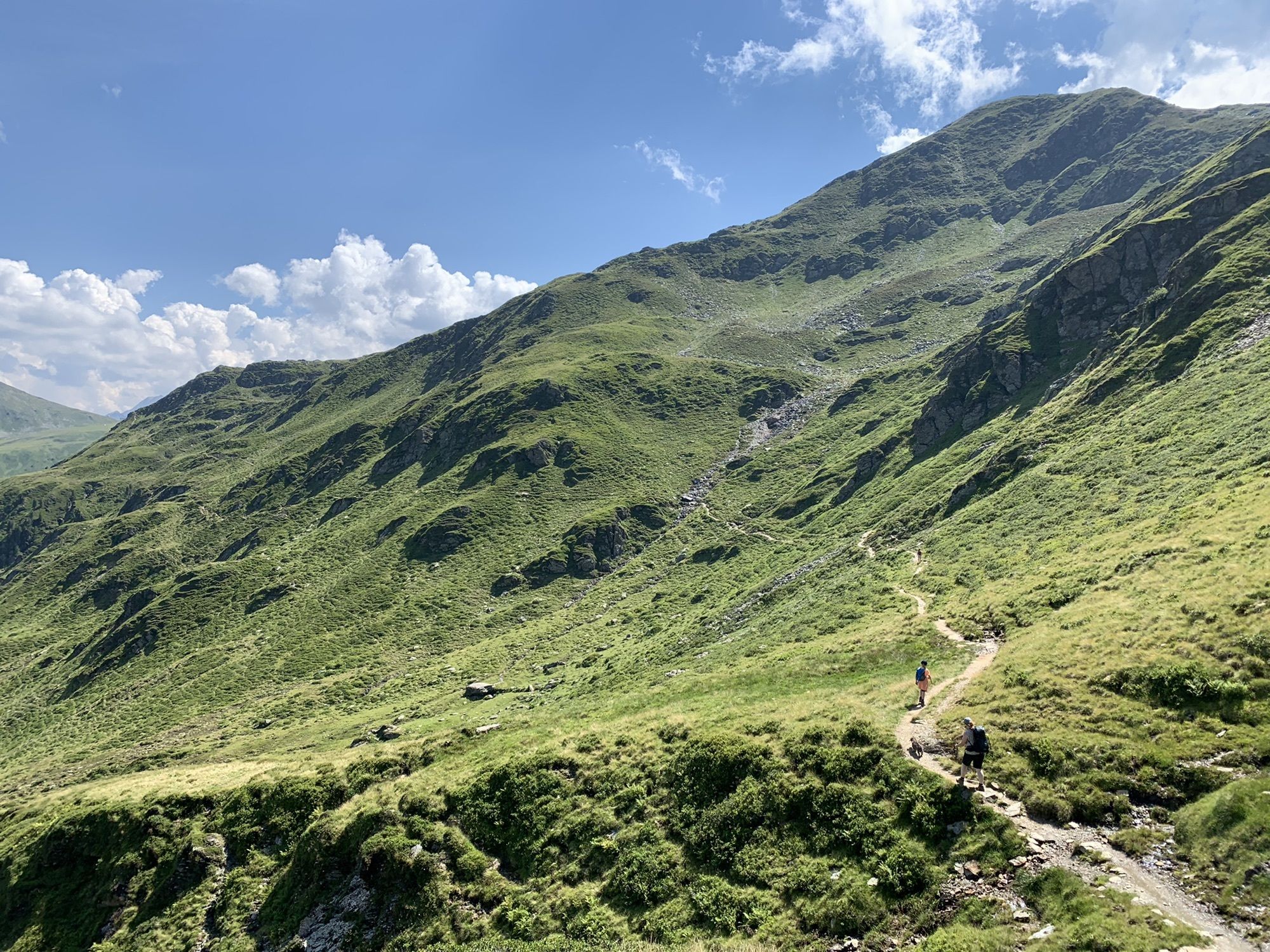
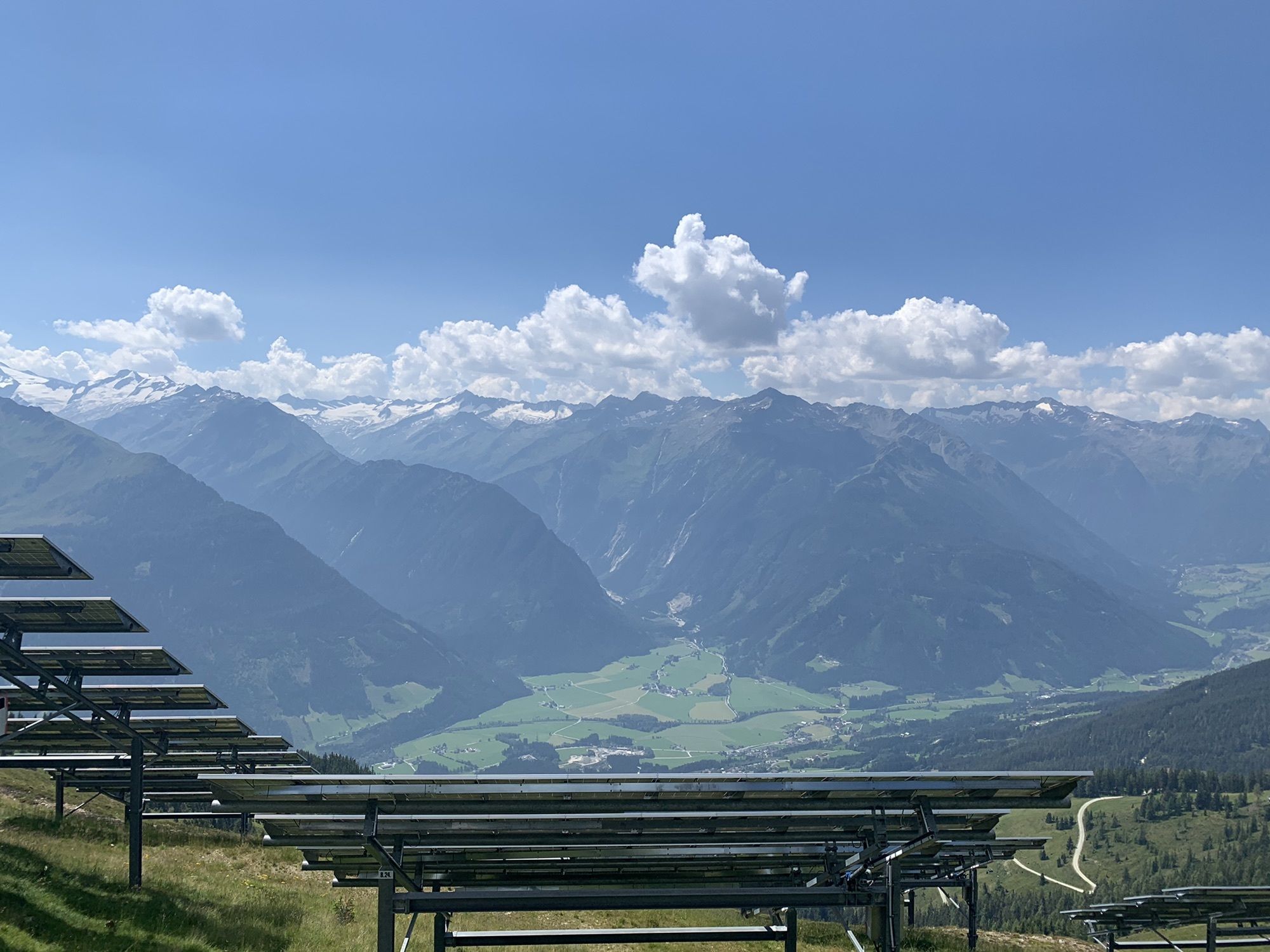
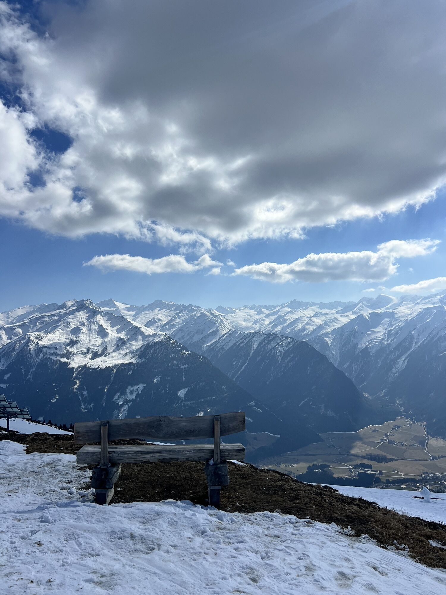
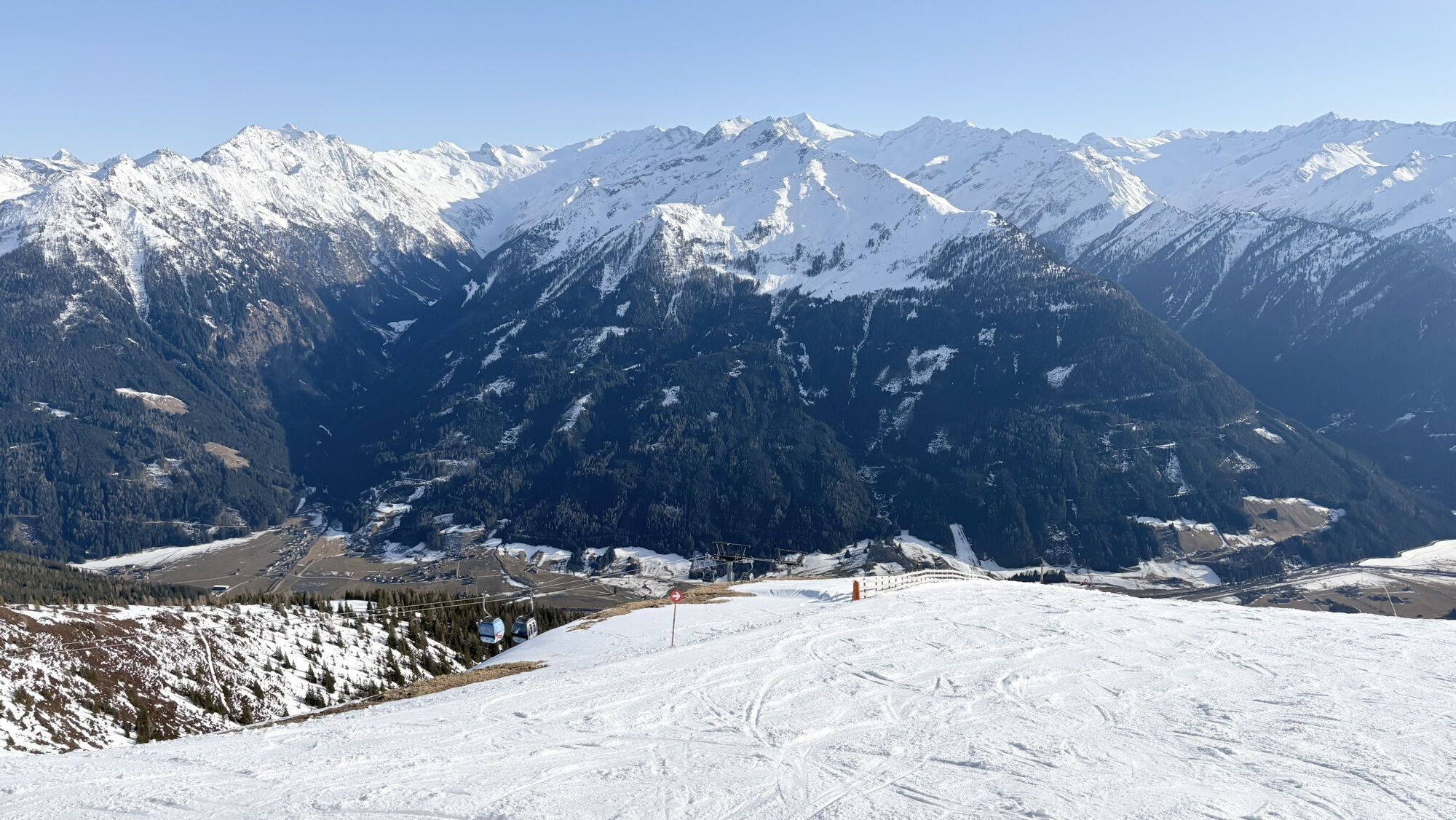
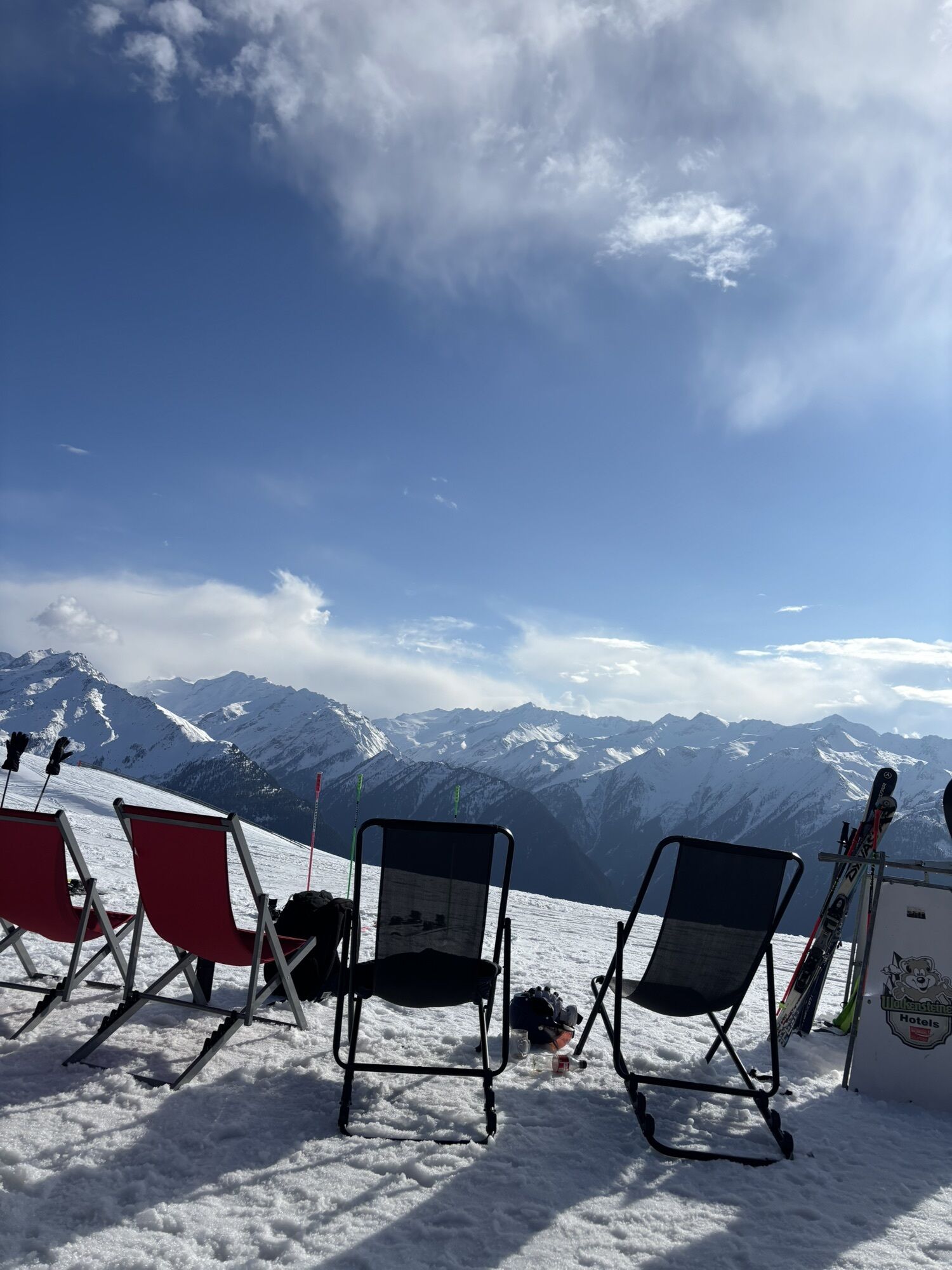
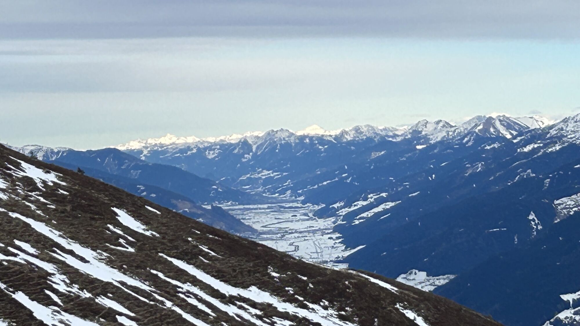
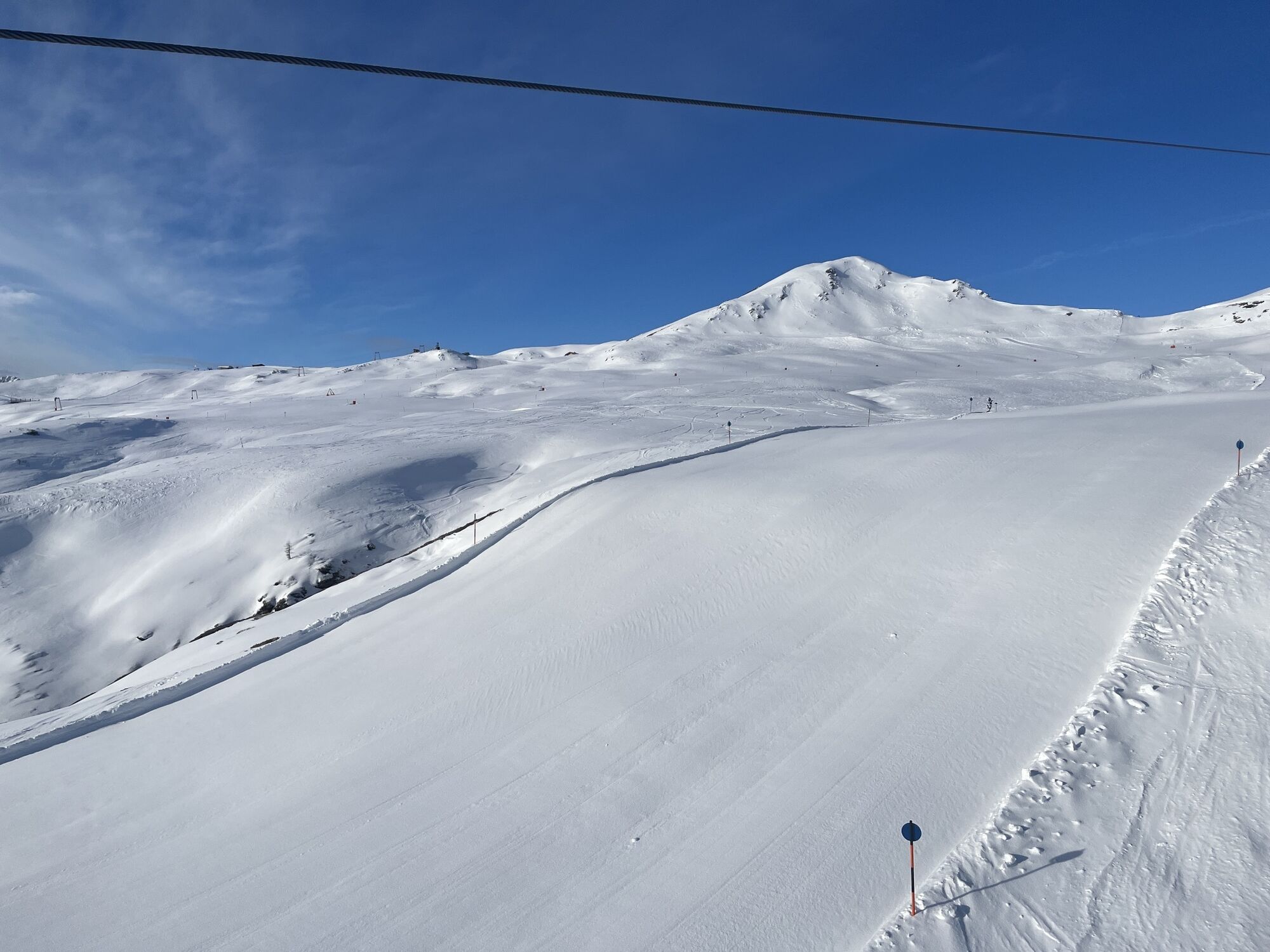
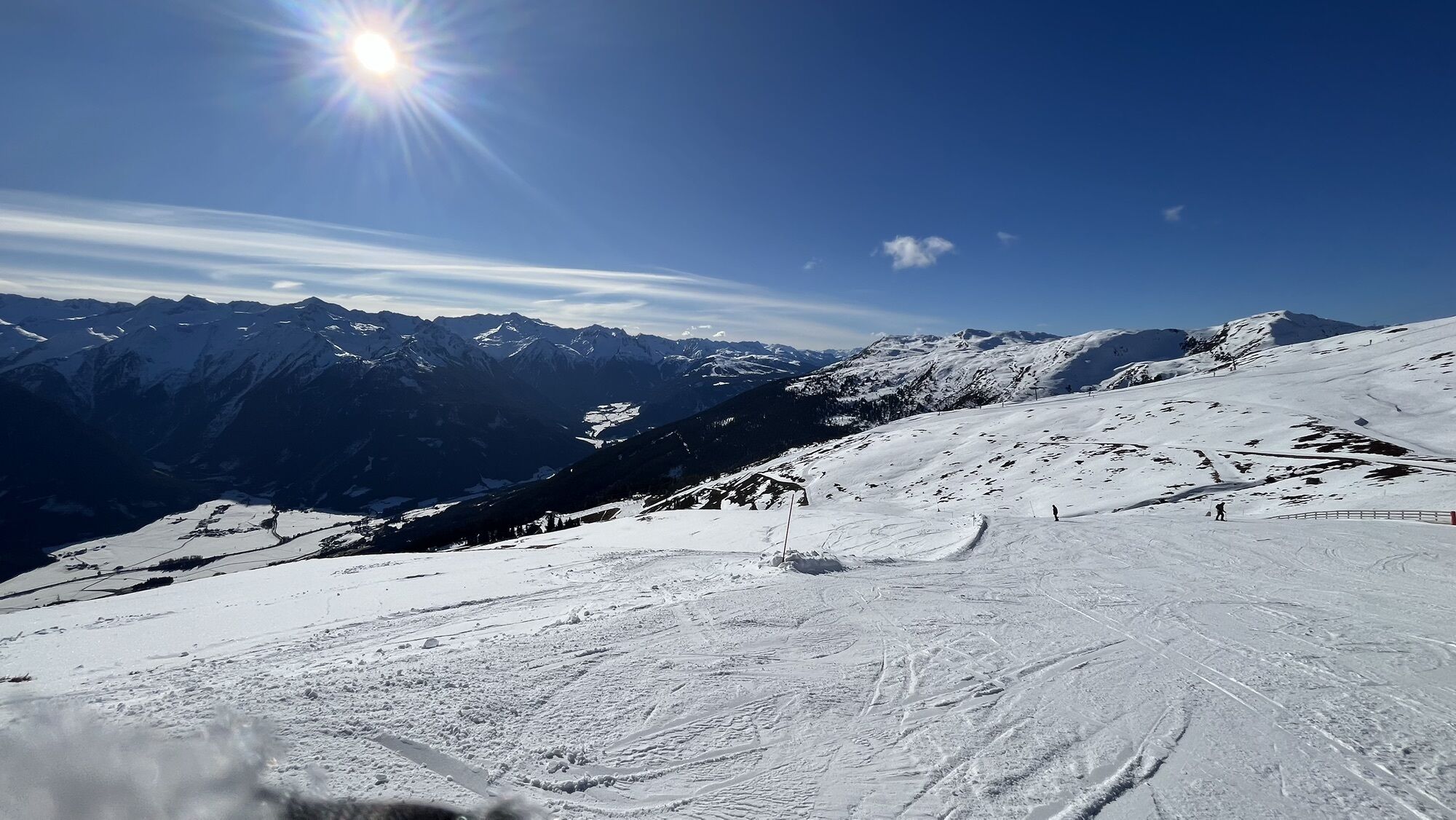
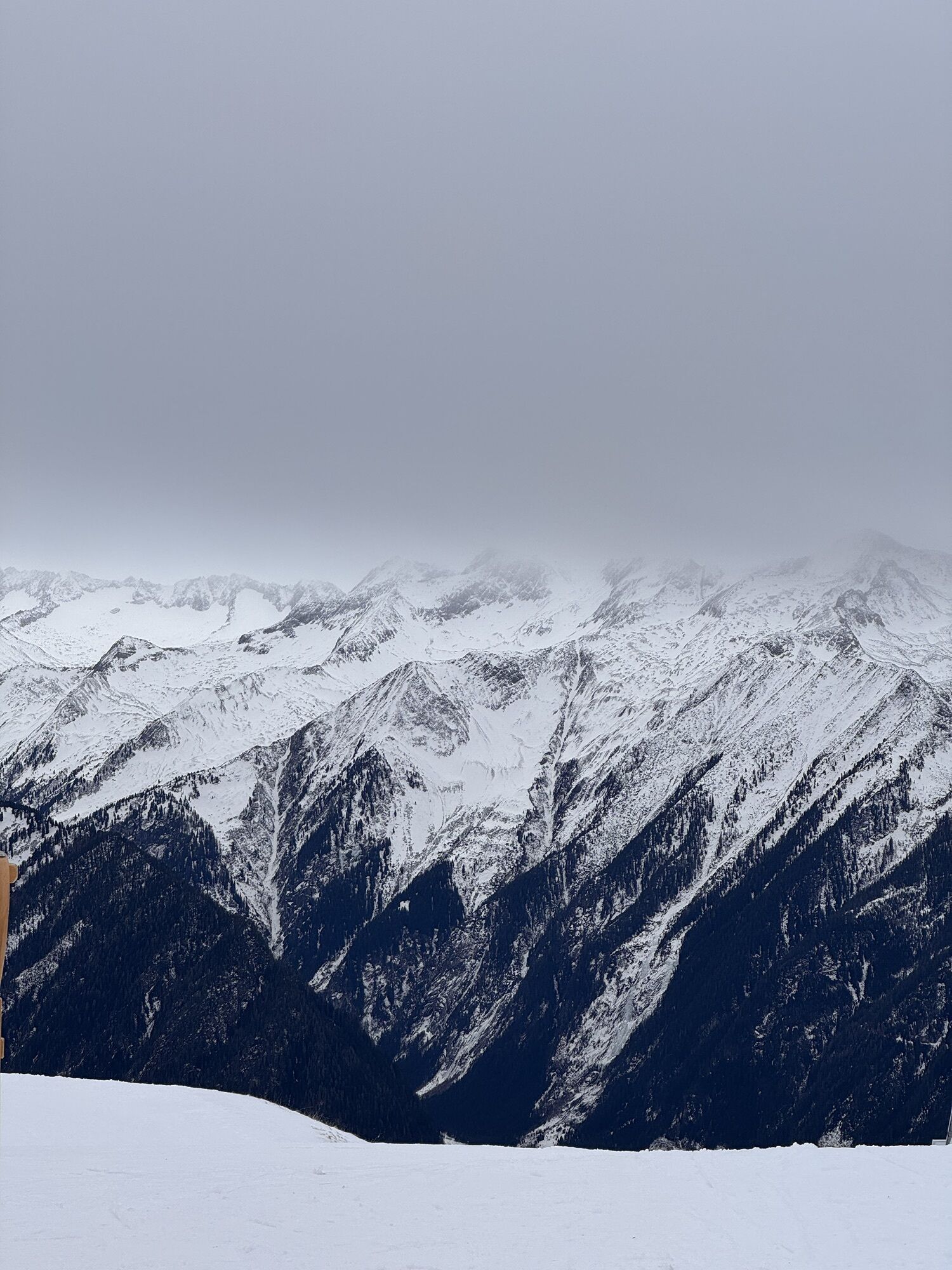
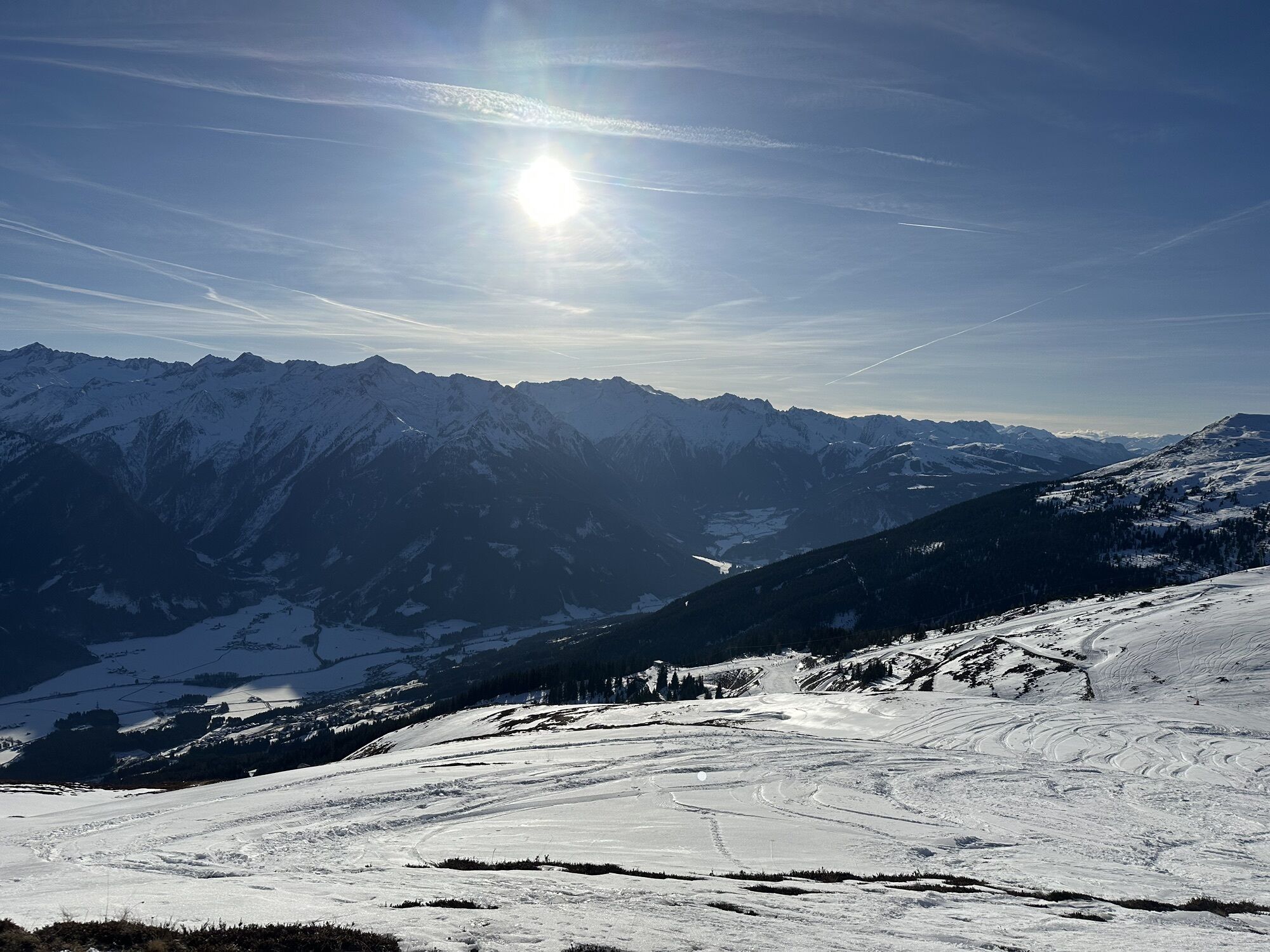
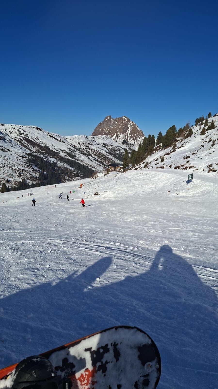
From the top station of the Wildkogelbahn, you hike along the wide alpine path westward towards Gasthof Wolkenstein. From there, follow a pleasant hiking trail to Herrensteigscharte. Then continue along...
From the top station of the Wildkogelbahn, you hike along the wide alpine path westward towards Gasthof Wolkenstein. From there, follow a pleasant hiking trail to Herrensteigscharte. Then continue along the flat ridge to Steinfeldjoch, located at the foot of the Großer Rettenstein. Now steeply downhill to Madl Hochalm and from there continue along the alpine path to Baumgartenalm. This offers a good opportunity for a pleasant stopover. From here, you can take the hiking taxi to Bramberg, or descend the alpine path through Mühlbachtal in about 2 hours.Connection options: 1) Herrensteigscharte – Geigenscharte – Neukirchen (Trail No. 715); 2) Steinfeldjoch – Baumgartenalm; 3) Herrensteigscharte – Schöntaljoch – Gr. Rettenstein – Baumgartenalm (additional walking time for ascent 1.5 hours, Trail No. 715, 67A). Hiking taxi Mühlbachtal from Baumgartenalm or further in about 2 hours via Trail No. 65/714 to Bramberg or Mühlbach.
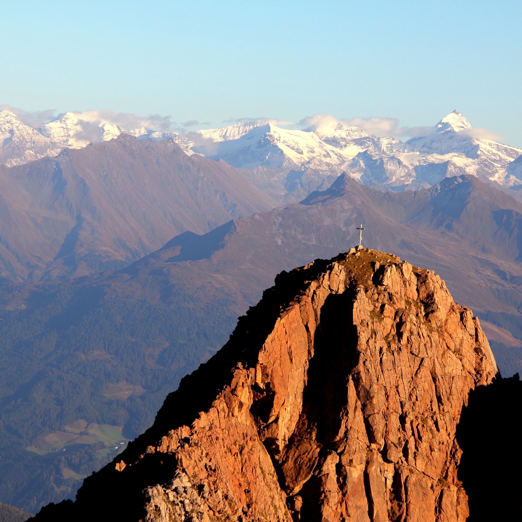
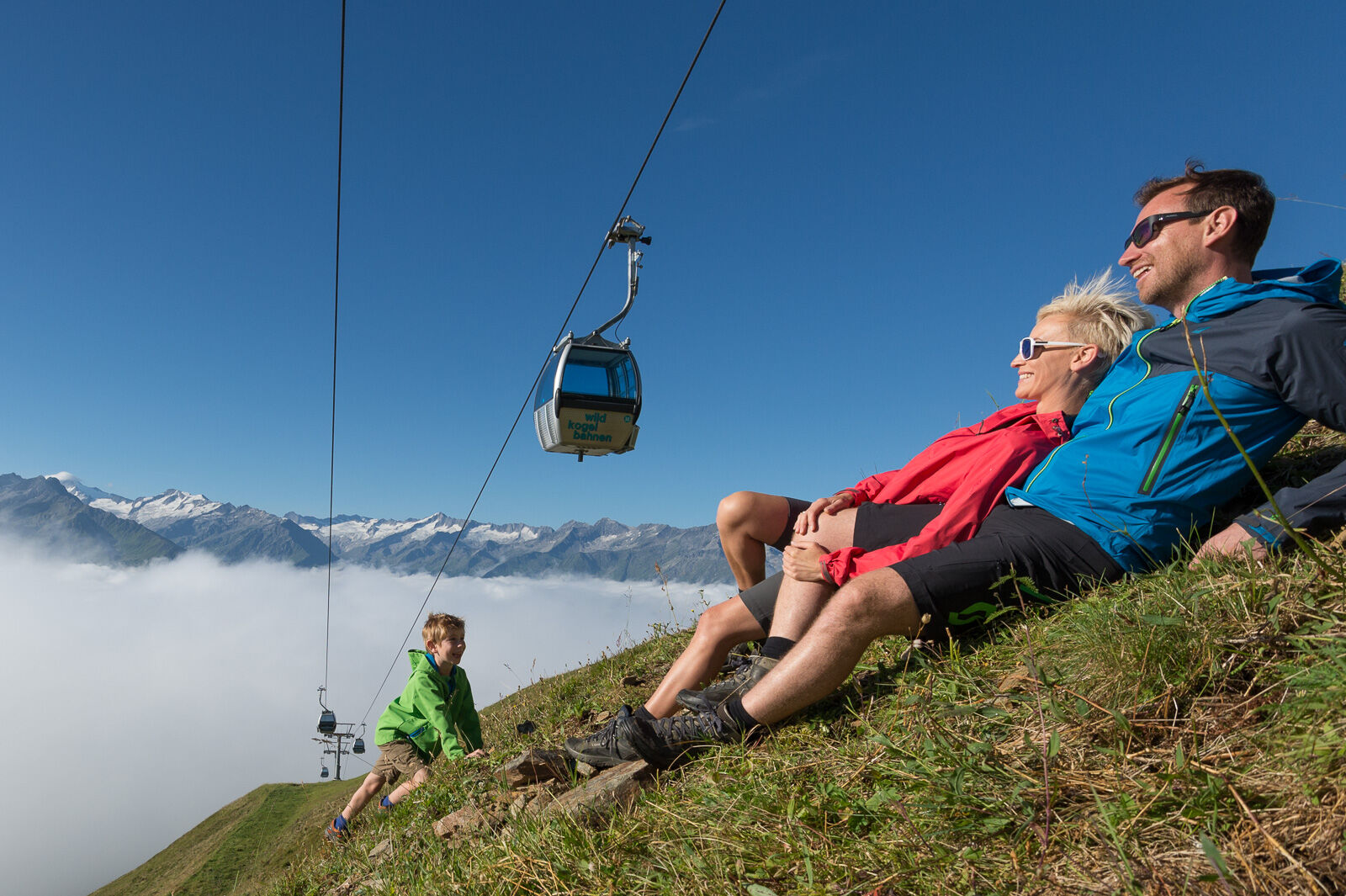
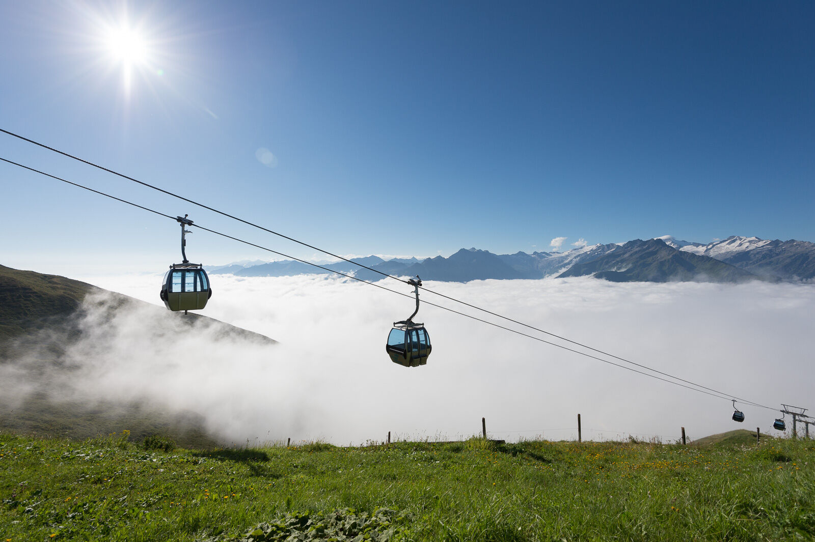
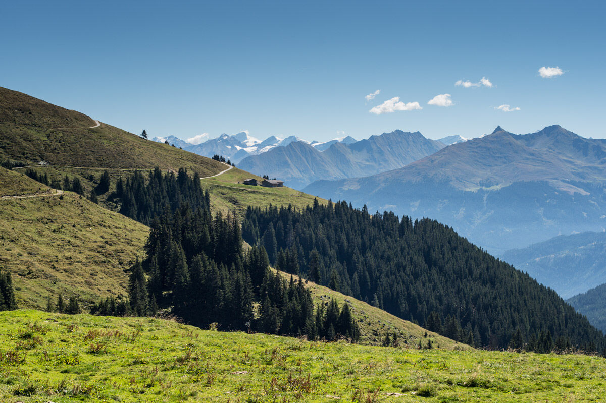
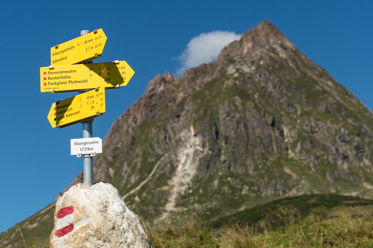
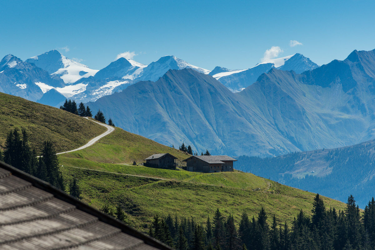
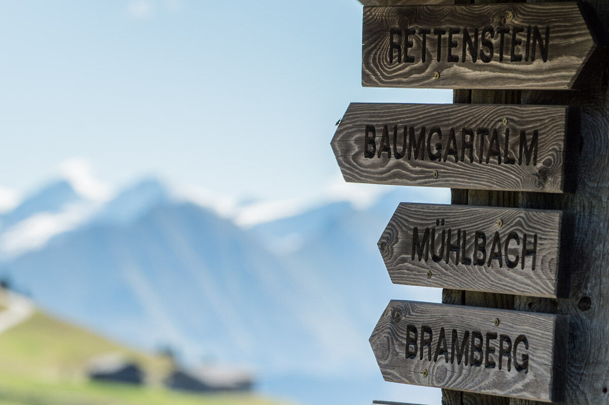
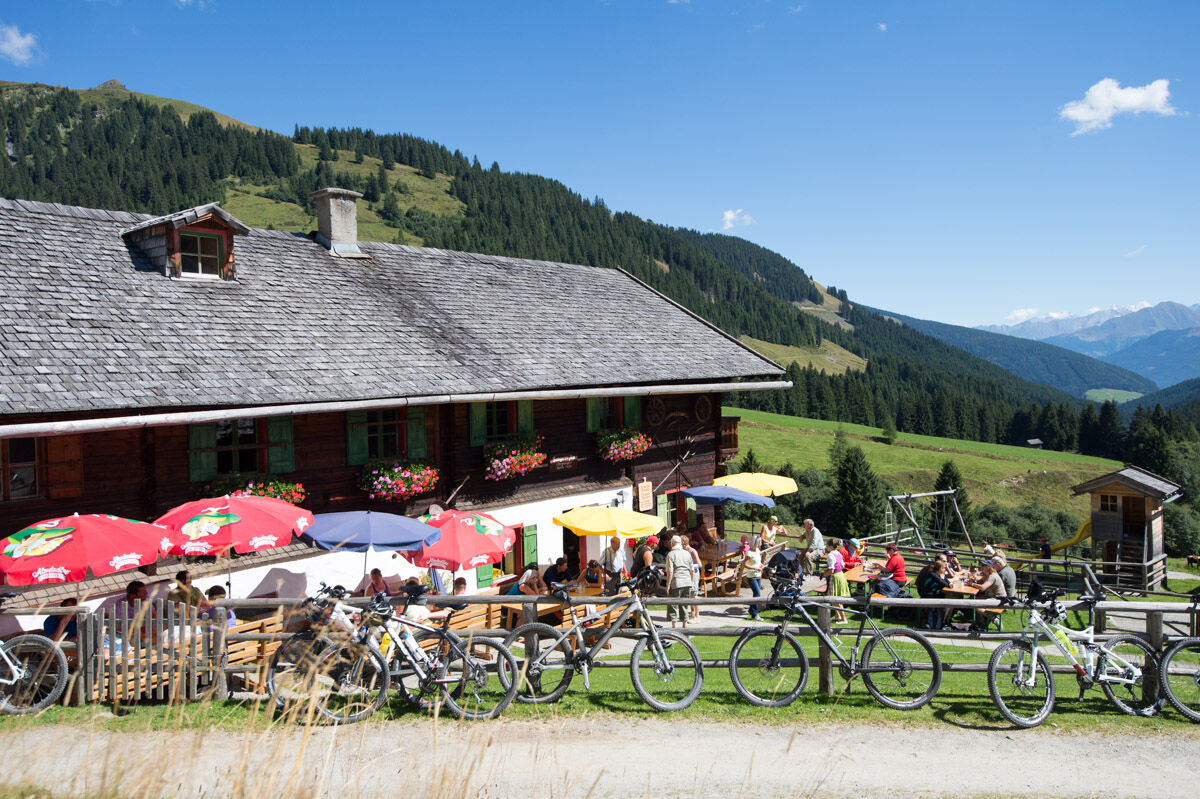
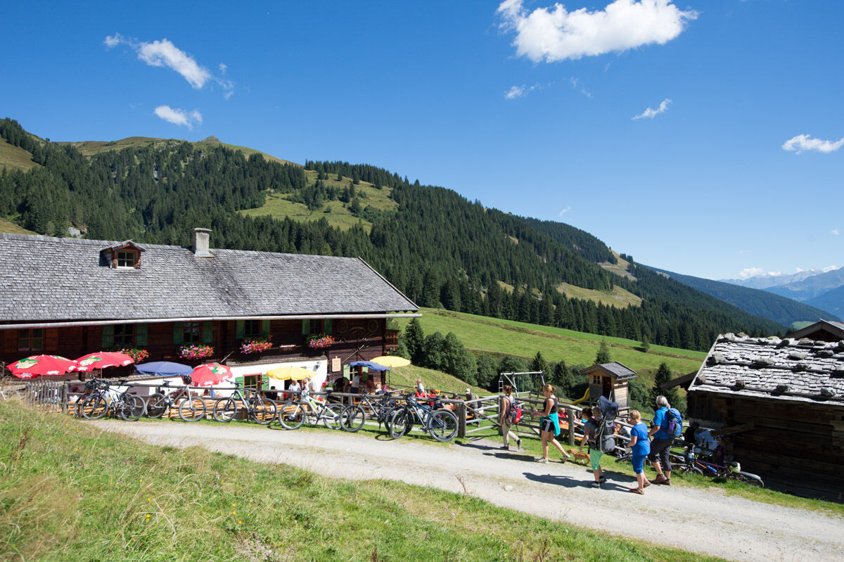

From the top station of the Wildkogelbahn, the wide alpine path leads westwards towards the Gasthof Wolkenstein. A pleasant hiking trail takes you to the Herrensteigscharte and further along the flat ridge to the Steinfeldjoch at the foot of the Großer Rettenstein. Afterwards, it goes steeply downhill to Madl Hochalm and continues on the alpine path to Baumgartenalm, which invites you to a delightful stopover. From there, it is possible to take the hiking taxi to Bramberg am Wildkogel or to descend through the Mühlbachtal in about 2 hours.
Tak
Tak
Sturdy footwear and good fitness as well as surefootedness and freedom from dizziness are prerequisites for this hike.
Do not leave marked hiking trails - keep dogs on a leash!
Coming from the west (CH) Inn Valley motorway (A12: vignette required) - Exit Wörgl East - St. Johann i.T. - Kitzbühel - Pass Thurn - Mittersill - Bramberg/Neukirchen
Coming from the east Vienna - Salzburg (A1: vignette required) - Bischofshofen - Zell am See - Mittersill - Bramberg/Neukirchen
Coming from the south (I, SLO) Tauern motorway (A10: vignette required) - Exit St. Michael or Exit Bischofshofen - Zell am See - Mittersill - Bramberg/Neukirchen
Gerlos Alpenstraße
A day ticket for the Gerlos Alpenstraße is included in the National Park Summer Card.
The parking lots at the valley station of the Wildkogelbahn Neukirchen are available free of charge.
Wildkogel-Arena
Tourist offices Neukirchen & Bramberg
Tel. +43 (0) 720 710 730 info@wildkogel-arena.at
Dining options:
- Ausscihts mountain restaurant
- Baumgartenalm
Kamery internetowe z trasy


Popularne wycieczki w okolicy
-
3,7
Smaragdwanderweg Habachtal/Bramberg
światłoWędrówka 7,17 km -
4,9
Route 209: Brechhornhaus-Choralpe
ciężkiMountainbike 24,4 km -
4,8
Streif Wanderweg
średniWędrówka 5,73 km -
4,6
Kröndlhorn (2.444m)
ciężkiWędrówka 13,5 km -
4,2
Panoramarundweg am Hahnenkamm
światłoWędrówka 3,02 km -
4,1
Brechhorngipfel (2.037m)
średniWędrówka 11,7 km -
4,3
Route 208: Windautal - Rotwandalm/Filzenscharte
ciężkiMountainbike 22,8 km -
4,7
Tristkogel
ciężkiWędrówka 15,6 km -
4,7
Frühmesser
średniWędrówka 10,6 km -
4,0
Wanderung zum Gampenkogel - Kreuzjöchlsee
światłoWędrówka 6,10 km
Wędrówki i tropienie


Nie przegap ofert i inspiracji na następne wakacje
Twój adres e-mail została dodana do listy mailingowej.





