


Abtenau - Postalm: via the Tabor and the Braunedel to the Postalm
Zdjęcia naszych użytkowników
-
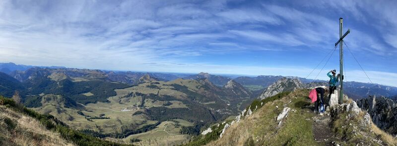
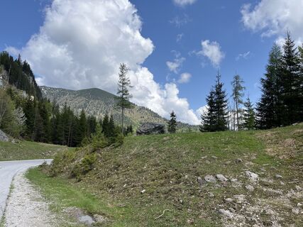
 © Reinhard Gruber 3Utworzono dnia 23.10.2022
 -
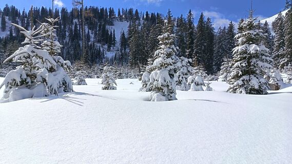
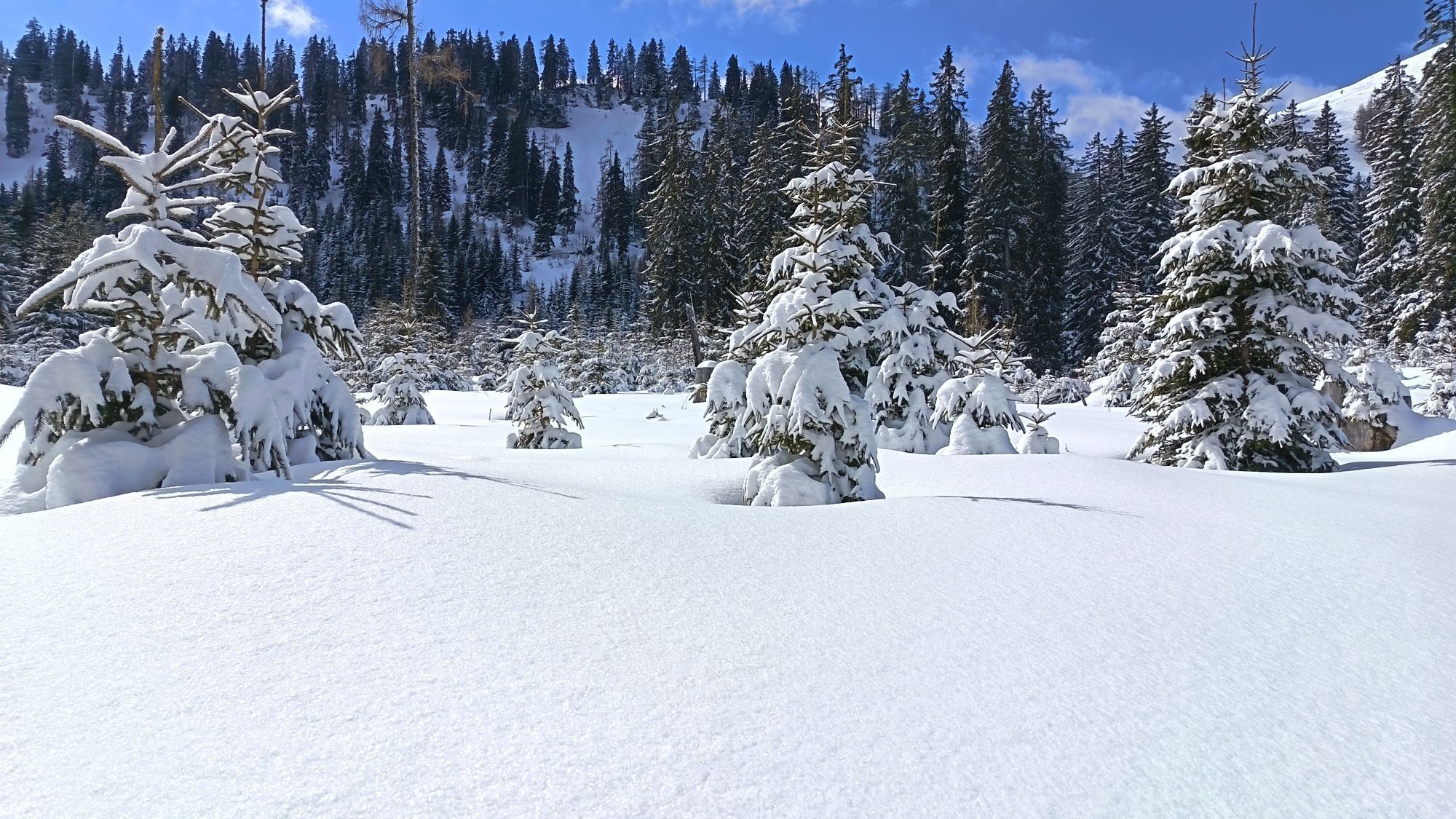
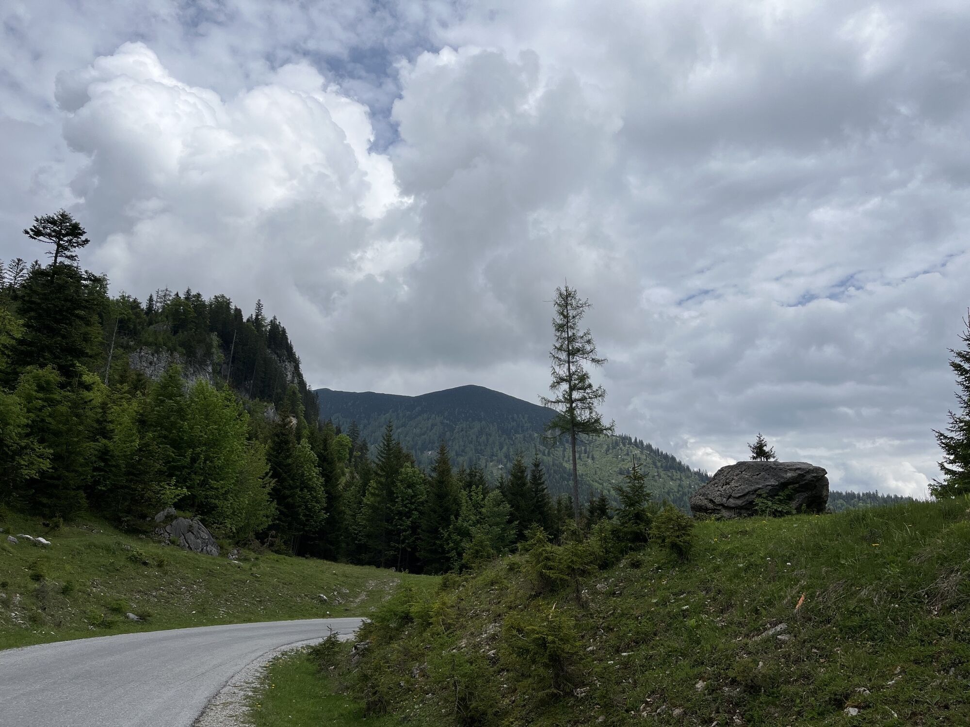
 © Róbert BaloghUtworzono dnia 28.03.2026
 -
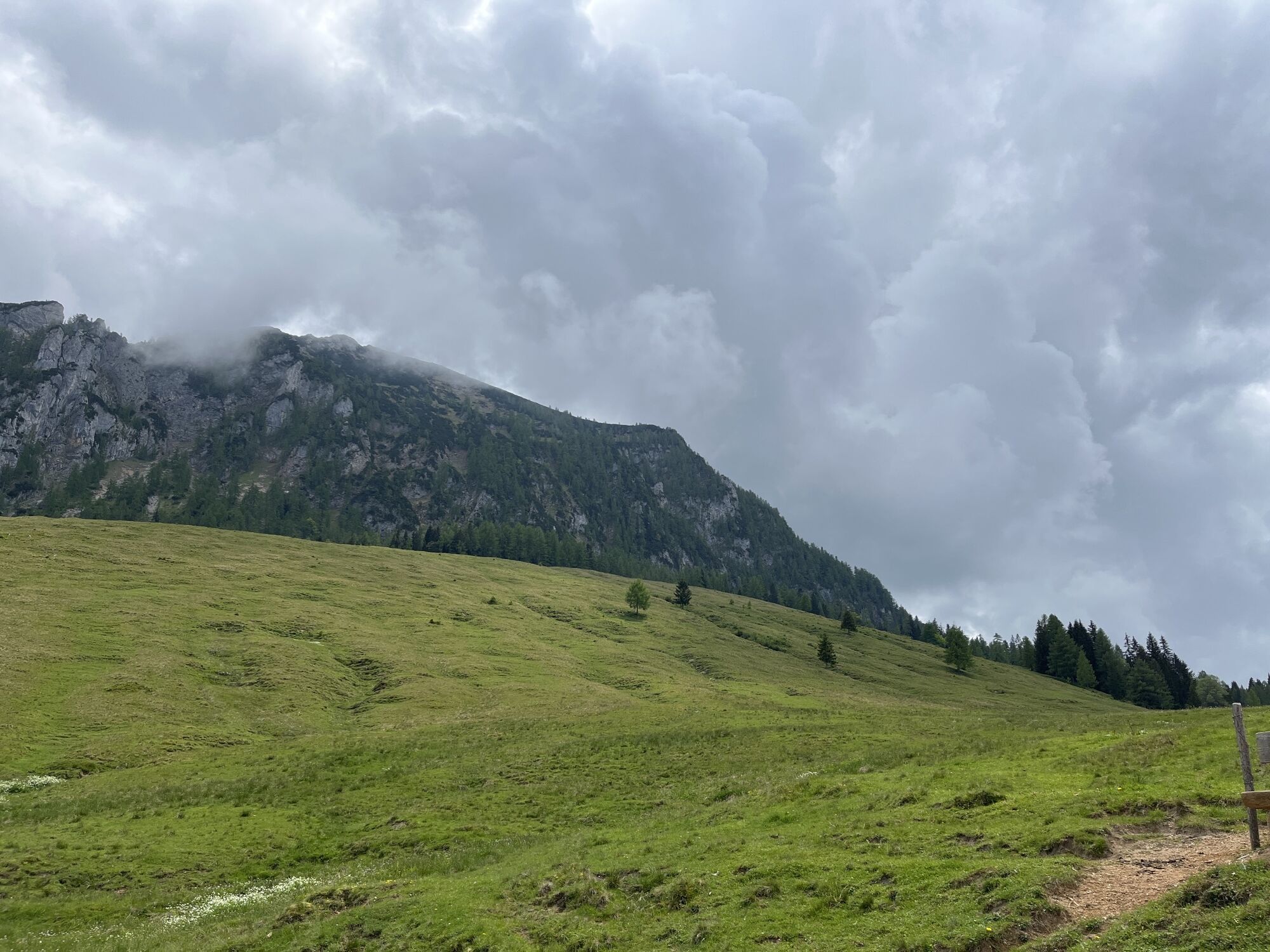
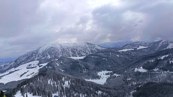 © Róbert BaloghUtworzono dnia 28.03.2026
 -
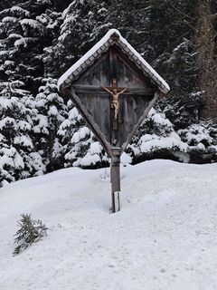
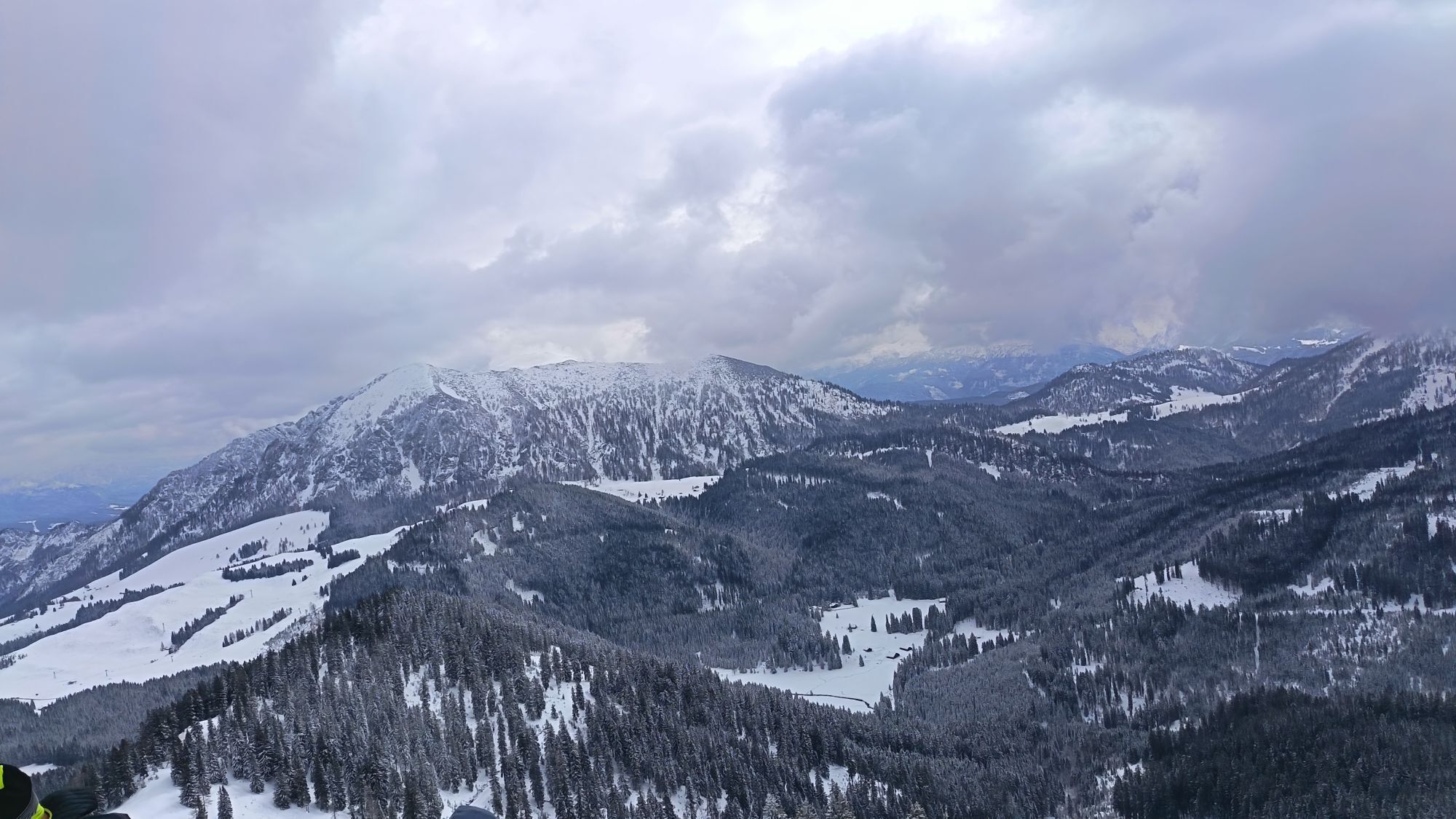
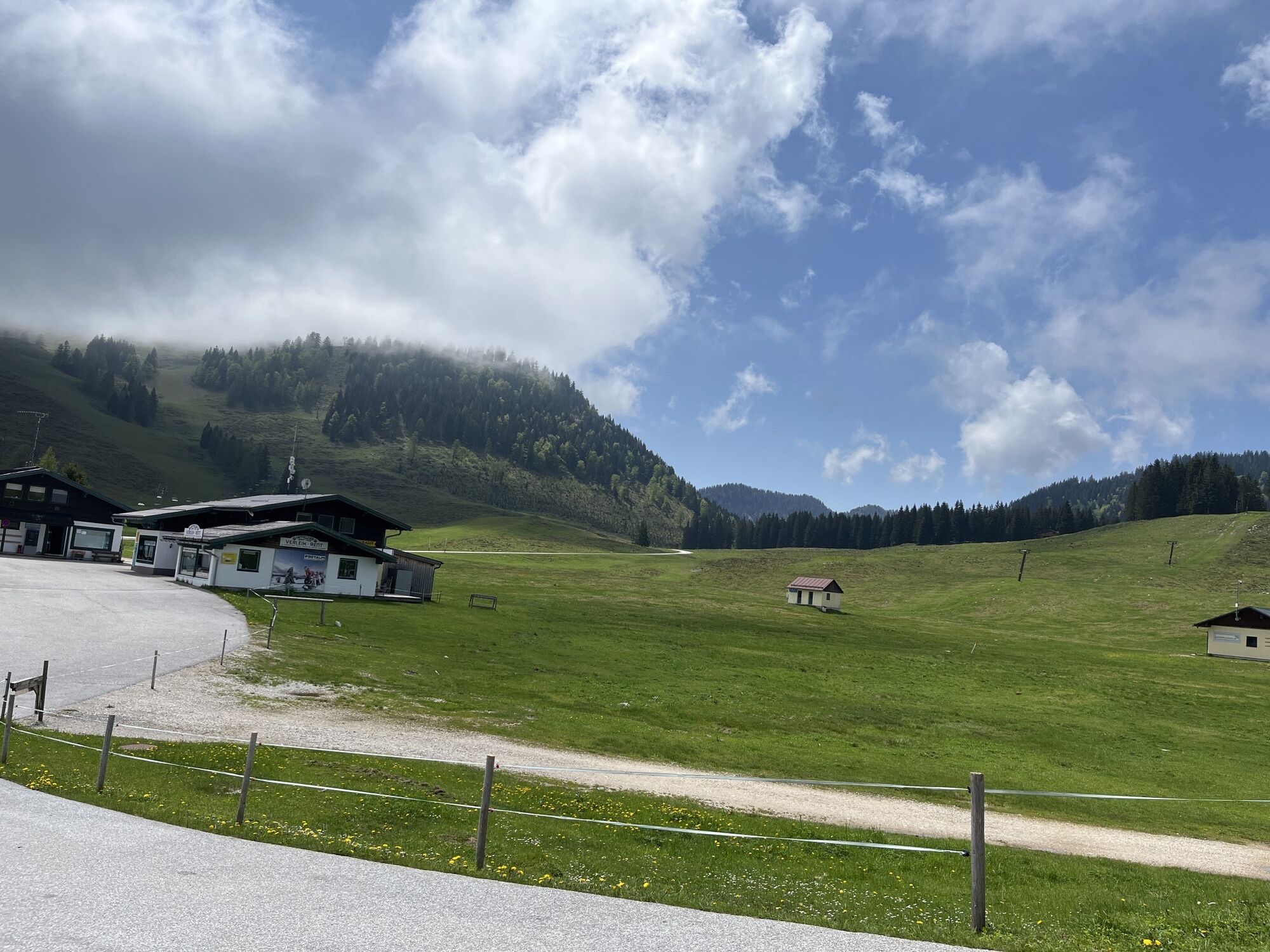
 © Schurli1977Utworzono dnia 18.02.2025
 -
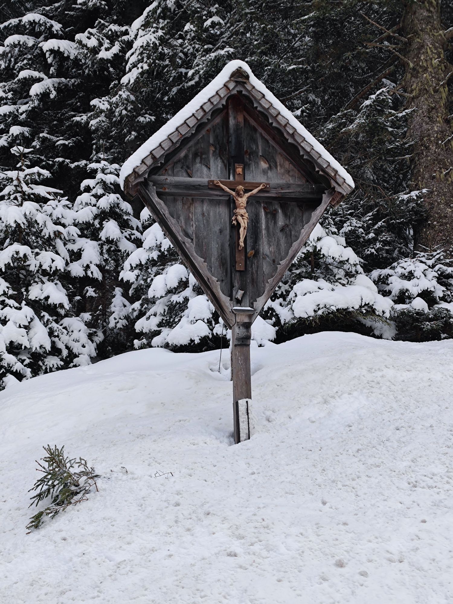
 © Christian Radl 1Utworzono dnia 14.07.2024
 -
 © Reinhard Gruber 3Utworzono dnia 23.10.2022
 -
 © Heinz SperlUtworzono dnia 07.08.2025
 -
 © Heinz SperlUtworzono dnia 20.05.2025
 -
 © Heinz SperlUtworzono dnia 10.09.2023
 -
 © Heinz SperlUtworzono dnia 04.06.2023
 -
 © Heinz SperlUtworzono dnia 04.06.2023
 -
 © Heinz SperlUtworzono dnia 25.05.2023
 -
 © Heinz SperlUtworzono dnia 25.05.2023


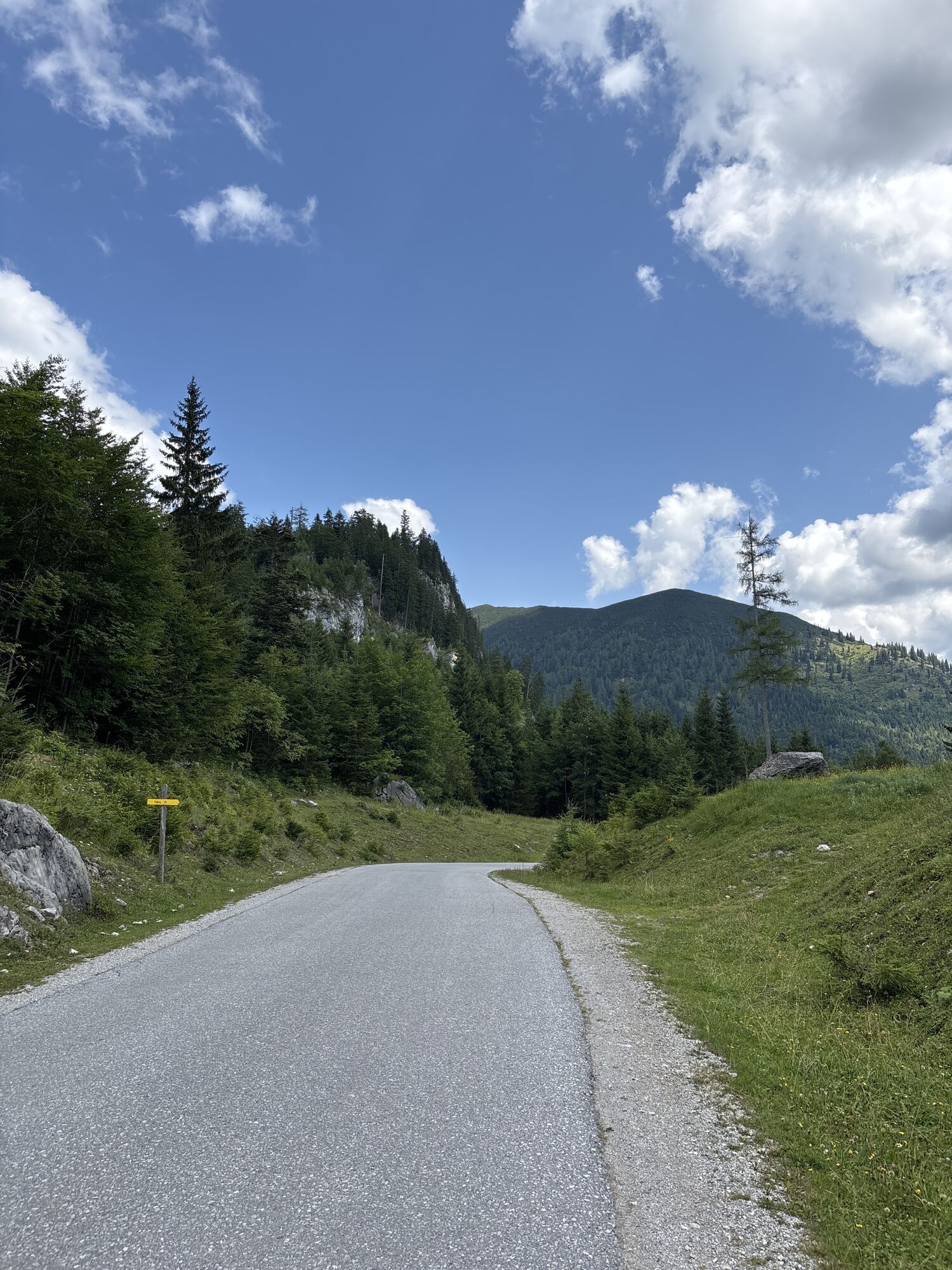

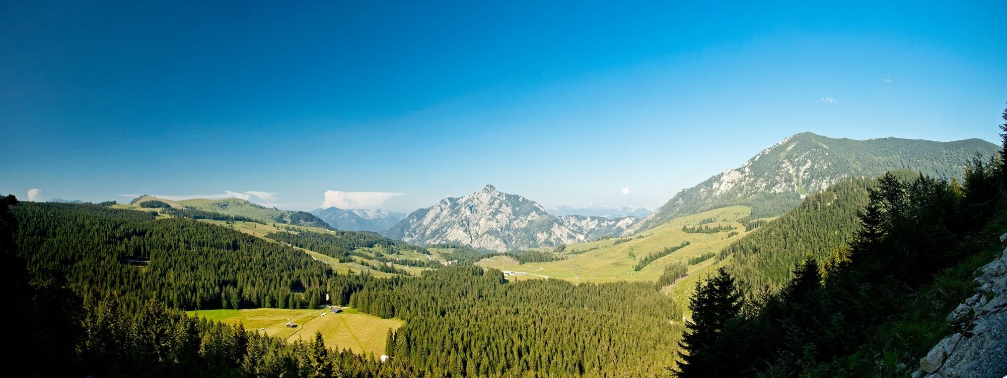
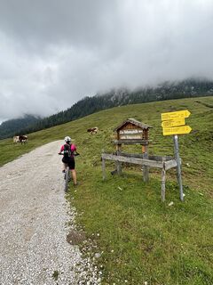
Follow the forest road or the forest hiking trails in the direction of Taborberg (23, 178). Summit hike to the Taborberg (1618m). Then follow the hiking trail 23a or 179 in the direction of Moosbergriedel / Postalm. If still desired you can climb the Braunedelkogel (1894m) and follow the hiking trail 878. At the Postalm take the hiking trail R1 to parking lot 1 at the Lienbachhof. Return the same way, or via Klausegg (160) then 160K to the parking lot.
Tak
Hiking clothes, hiking shoes, possibly. Sticks
From Abtenau in the direction of Russbach, at the Schwaighofbrücke turn onto the Radochsberg, follow the road turn right - follow the road, after Obermais farm turn right in the direction of Astein.
Take the 470 bus from Abtenau in the direction of Russbach, get off at the Hackergraben stop, and follow hiking trail 170a to the Astein parking lot.
see approach
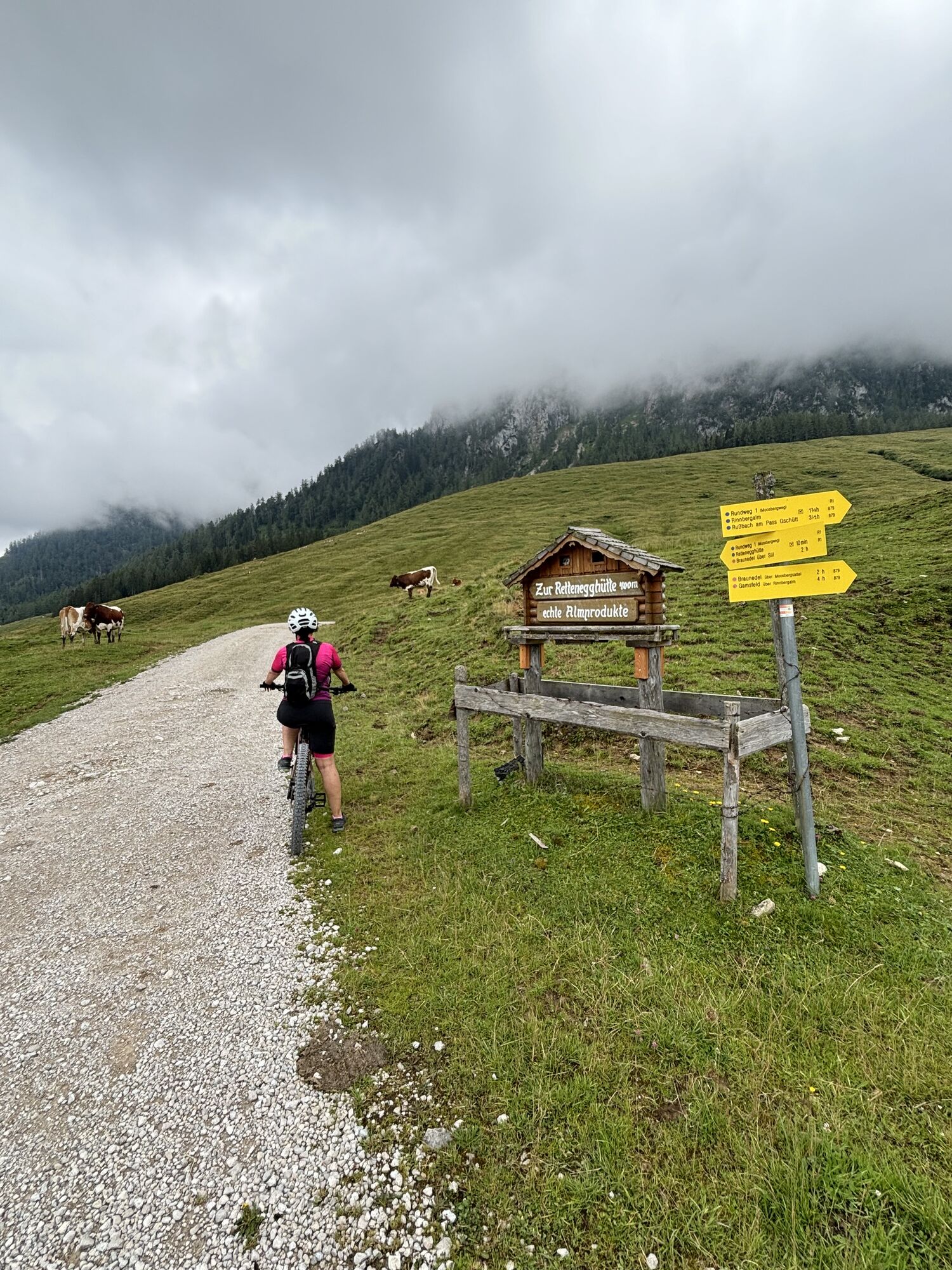
On the Postalm you will pass the Rettenegg hut (homemade products) and then at parking lot 1 more rustic alpine huts.
Kamery internetowe z trasy
-
Sonnleiten - Abtenau
-
Edtalm
-
Bergstation Hornbahn - Hornspitz
-
Bergstation Hornbahn - Hornspitz
-
Bergstation Hornbahn - Hornspitz
-
Bergstation Hornbahn - Hornspitz
-
Bergstation Hornbahn - Hornspitz
-
Bergstation Hornbahn - Hornspitz
-
Bergstation Hornbahn - Hornspitz
-
Postalm - Panoramahütte
-
Postalm Zauberteppich
-
Postalm Zauberteppich
-
Postalm Zauberteppich
-
Postalm Zauberteppich
-
Postalm Zauberteppich
-
Postalm Zauberteppich
-
Postalm Zauberteppich
-
Postalm Zauberteppich
-
Hornspitz II Bergstation
Popularne wycieczki w okolicy
-
4,7
Schwarzer Berg / Golling
średniWędrówka 2,54 km -
4,1
Pillstein Panorama Rundweg
światłoWędrówka 3,40 km -
4,7
Tour around the Gosaukamm
średniWędrówka 20,9 km -
4,7
Tour around the Lake Gosau
światłoWędrówka 4,43 km -
4,9
Schwarzeneckalm-Bleckwand
światłoWędrówka 5,94 km -
4,8
Gennerhorn über Lämmerbach
średniWędrówka 10,2 km -
4,7
Mühlenweg und Winnerfall Scheffau am Tennengebirge
średniWędrówka 4,79 km -
4,7
Vorderer u. hinterer Gosausee
średniWędrówka 15,0 km -
4,7
Katrin
średniWędrówka 2,95 km -
4,7
Katrin
światłoWędrówka 4,21 km

Wędrówki i tropienie


Nie przegap ofert i inspiracji na następne wakacje
Twój adres e-mail została dodana do listy mailingowej.