






Piesendorf: Pinzgauer Hütte
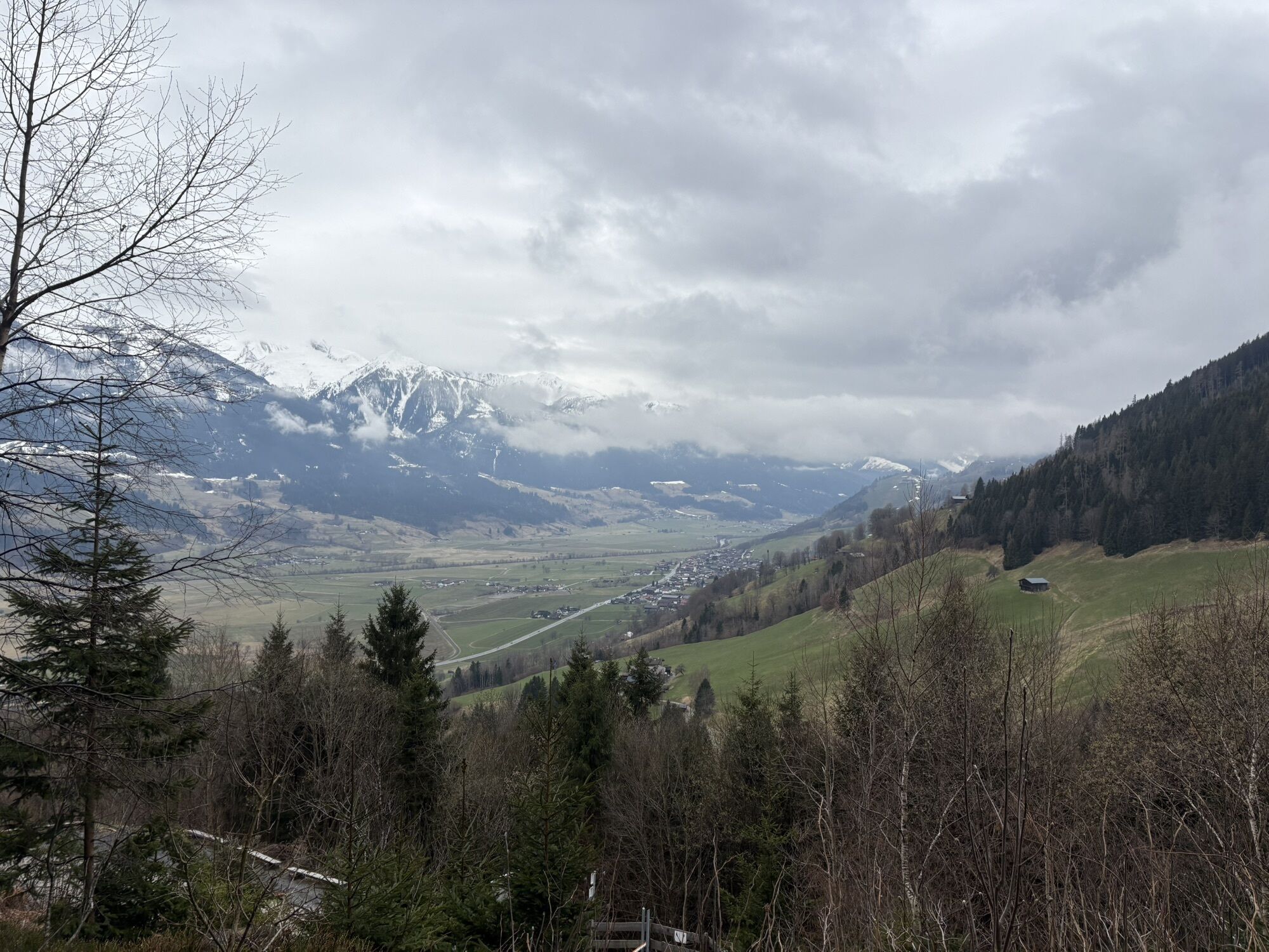
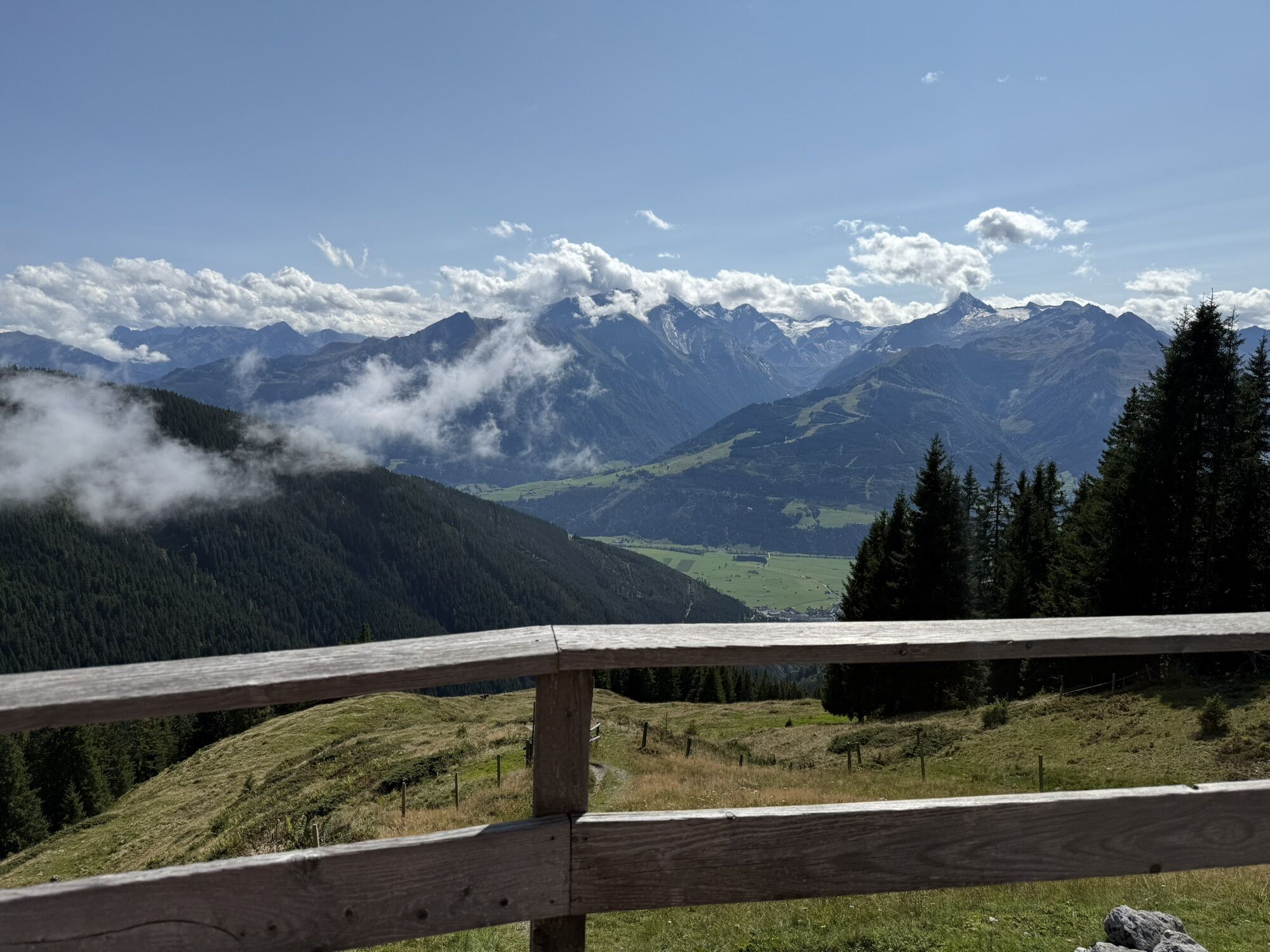
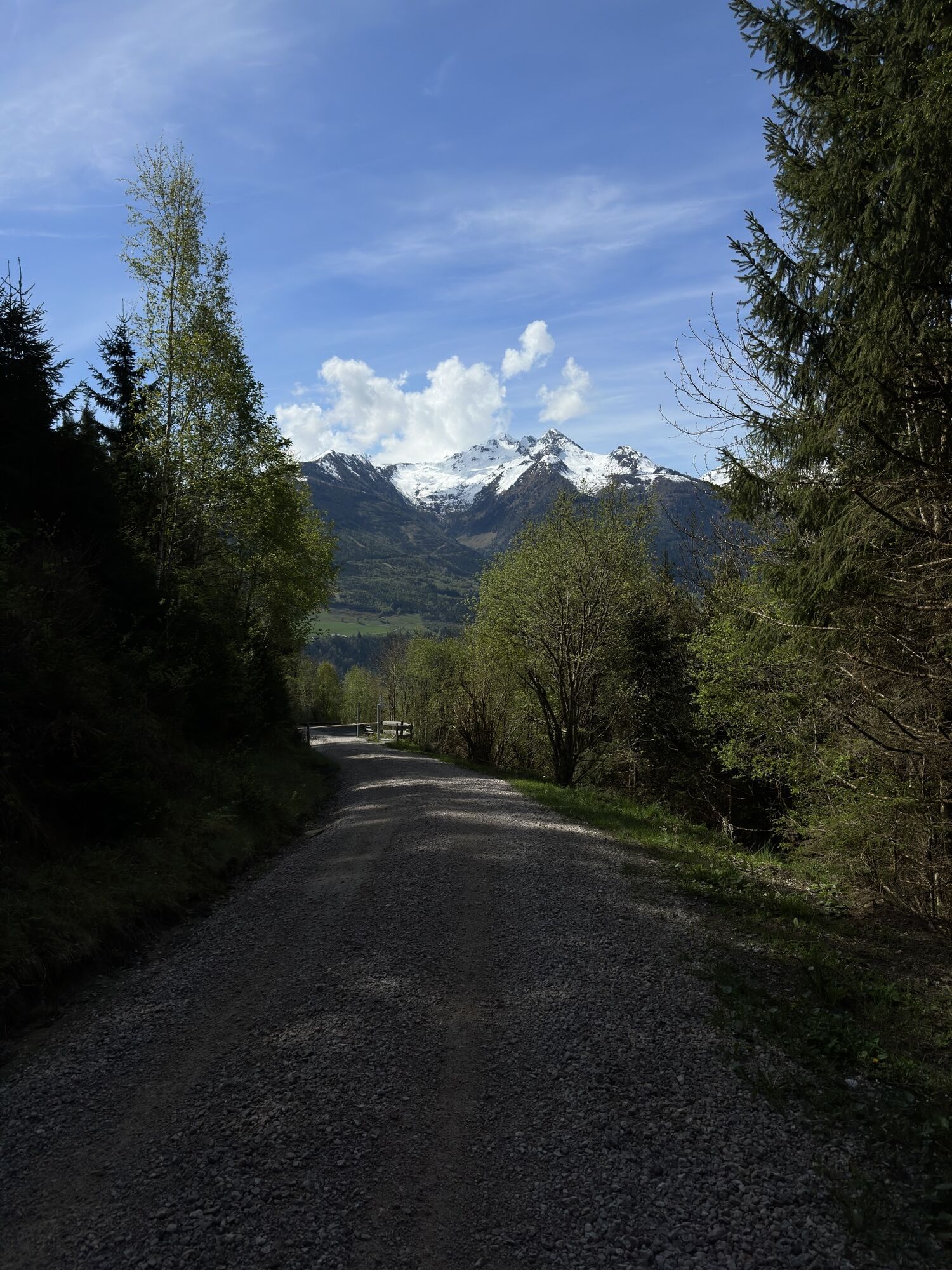
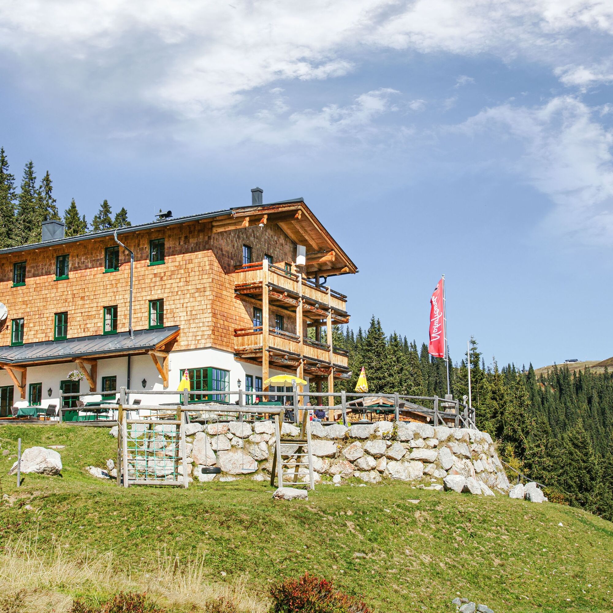
The destination with a spacious sun terrace pampers you with a great view and is also an ideal starting point for numerous summit experiences. For motivated hikers, there is a combination with the "Pinzgauer...
The destination with a spacious sun terrace pampers you with a great view and is also an ideal starting point for numerous summit experiences. For motivated hikers, there is a combination with the "Pinzgauer walk".
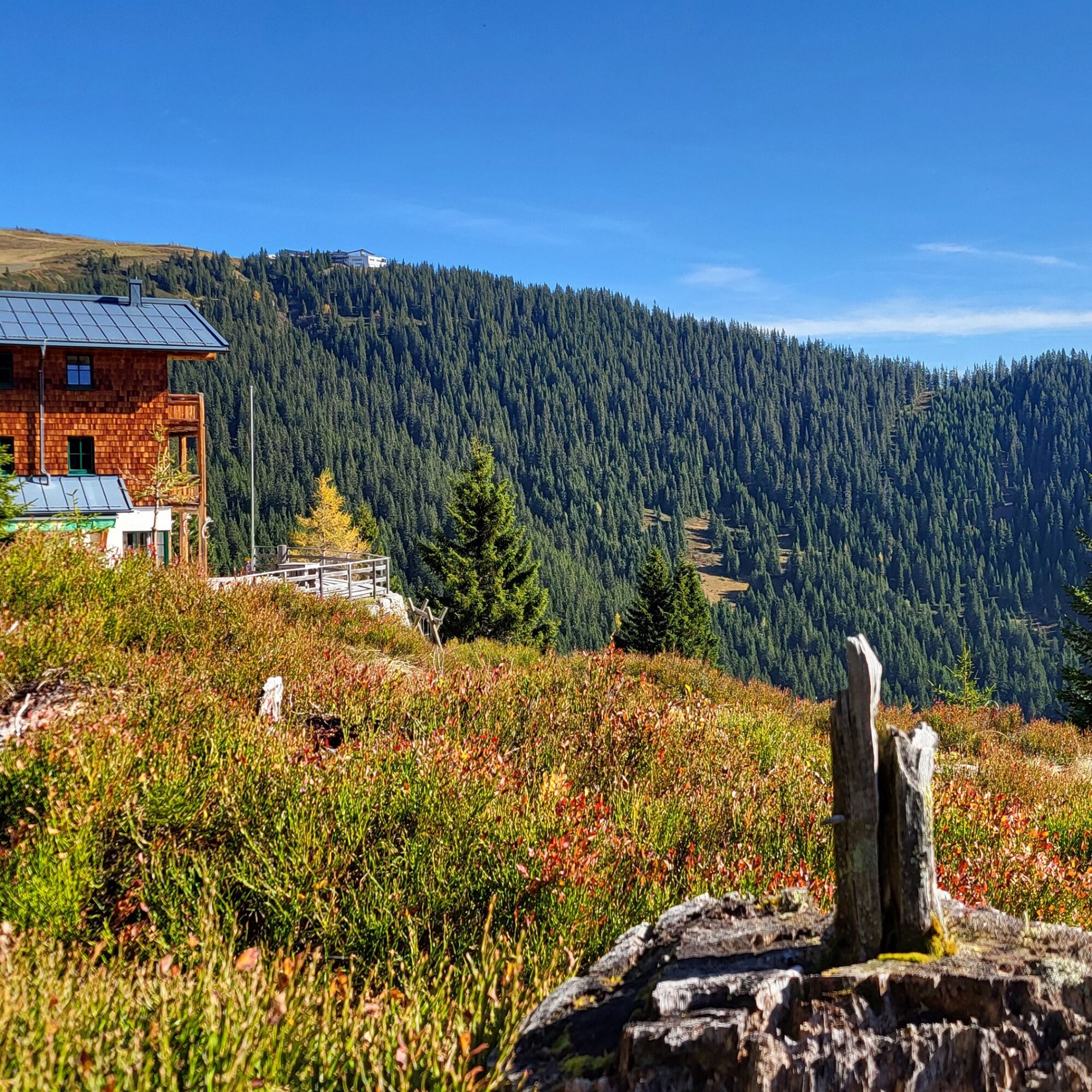
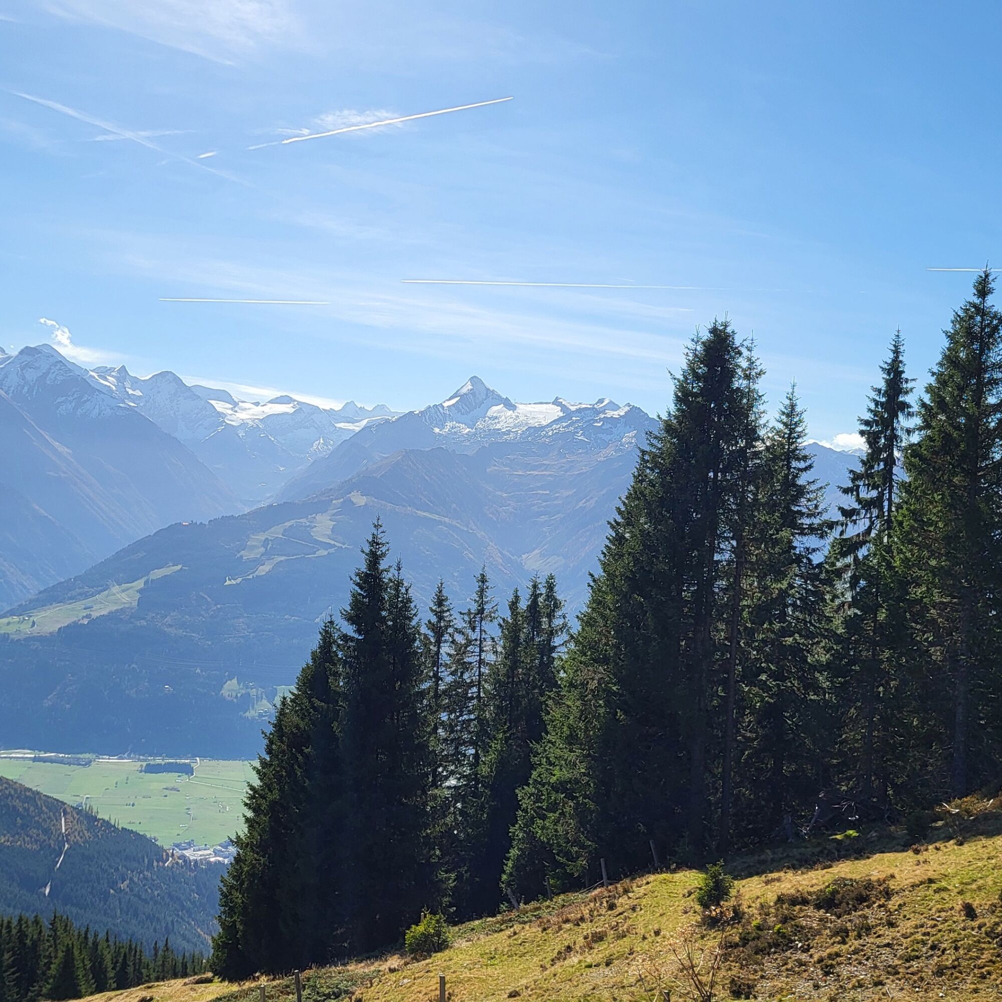
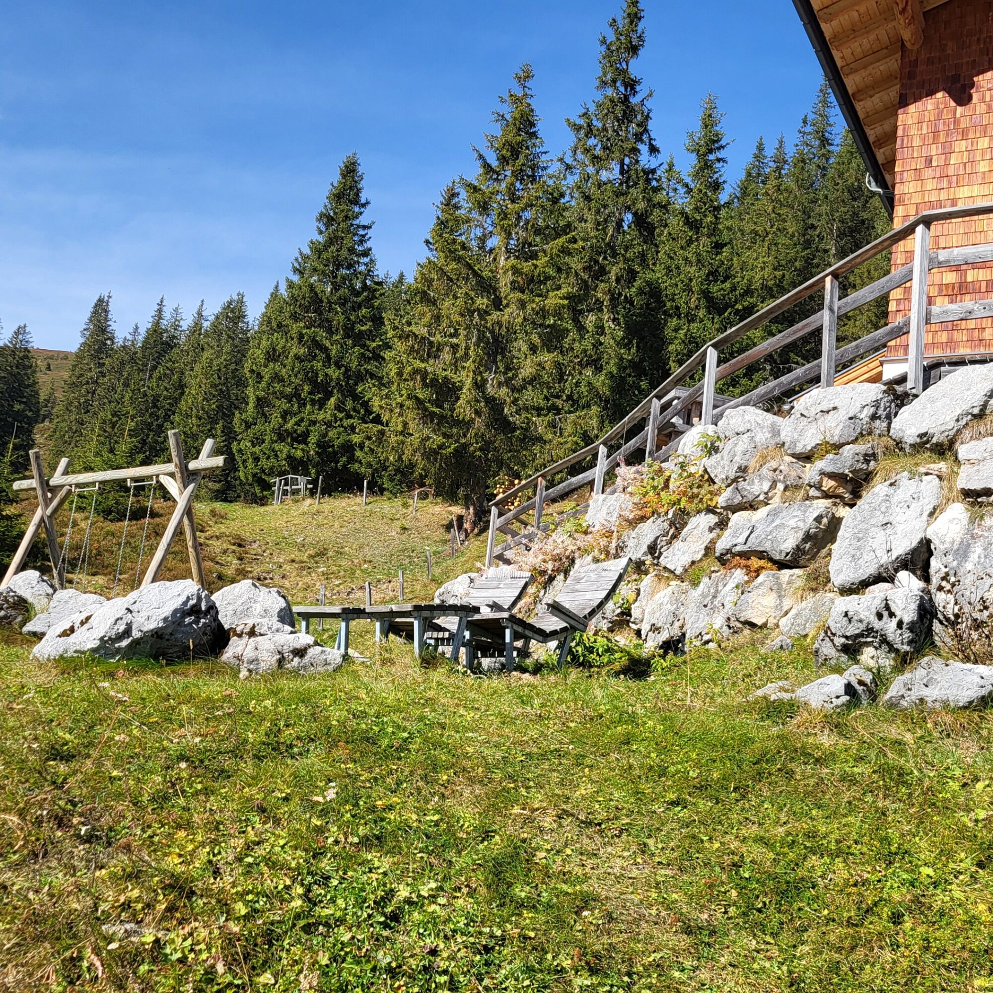

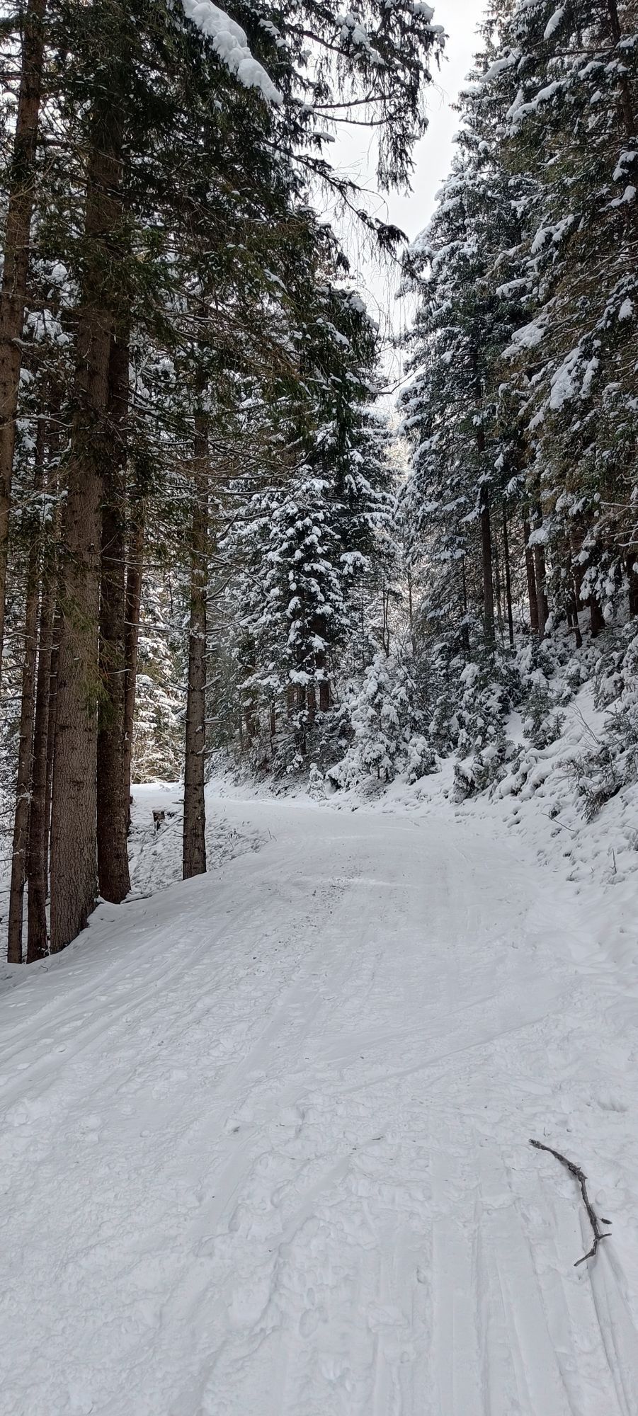
The starting point of the route is the hiking infopoint, from here you go to the village bridge and immediately turn left towards the church. Now follow hiking trail No. 2 and then trail No. 1A uphill to the fork. After that, hiking trail No. 749/1B leads over the Kottingeinödenalm to the Pinzgauer Hütte. After a good rest, the return journey takes place via hiking trails 1A and 2.
Tak
Ankle-high mountain boots, drinks, provisions, backpack, rain protection, mobile phone.
Dear nature lovers!
We hope that your snack and drinks, which you take with you on your hike, give you the strength to carry back the packaging material and the empty cans as well as bottles.
Please adhere to the Fair Play & rules of conduct!
Note: Leash obligation applies in Piesendorf and Niedernsill!
Fairness and mutual consideration form the basis for living together and preserving the diverse interests in the natural area!
Parking available.
 Uzyskaj wgląd
Zawsze na żywo z ponad 9 500 kamer internetowych. bergfex Jako użytkownik Pro, możesz teraz zobaczyć odpowiednie kamery internetowe dla wielu wycieczek w aplikacji wycieczki od. Pozwala to na bezpośredni podgląd aktualnych warunków.
Uzyskaj wgląd
Zawsze na żywo z ponad 9 500 kamer internetowych. bergfex Jako użytkownik Pro, możesz teraz zobaczyć odpowiednie kamery internetowe dla wielu wycieczek w aplikacji wycieczki od. Pozwala to na bezpośredni podgląd aktualnych warunków.


Popularne wycieczki w okolicy
-
4,2
Schwalbenwand Nr. 80, 81, 82
średniWędrówka 13,0 km -
4,8
Sigmund Thun Klamm, Klammsee, Bürgkogel
światłoWędrówka 4,56 km -
4,6
Sigmund Thun Klamm
światłoWędrówka 3,10 km -
4,9
Hochsonnberg Runde
średniMountainbike 59,8 km -
4,4
Thumersbach, Runde um den Zeller See
światłoWędrówka 13,3 km -
4,0
Berg der Sinne
światłoWędrówka 4,39 km -
4,2
Hundstein-Runde von Maria Alm
ciężkiMountainbike 44,4 km -
5,0
Panorama route 3 peaks and 2 lakes
średniWędrówka 7,35 km -
3,8
Maurerkogel (Top)
Wędrówka 10,5 km -
5,0
Leo’s play hiking trail
światłoTrasa tematyczna 4,89 km

Wędrówki i tropienie


Nie przegap ofert i inspiracji na następne wakacje
Twój adres e-mail została dodana do listy mailingowej.





