







Sonnkogel
Poziom trudności: T2
Enjoy a wonderful hike to the summit of Sonnkogel. The trail leads through varied alpine meadows and light forests, opening up breathtaking views along the way. At the top, a 360° panorama rewards you...
Enjoy a wonderful hike to the summit of Sonnkogel. The trail leads through varied alpine meadows and light forests, opening up breathtaking views along the way. At the top, a 360° panorama rewards you with an unforgettable nature experience. Perfect for those who love combining activity, tranquility, and stunning mountain scenery.
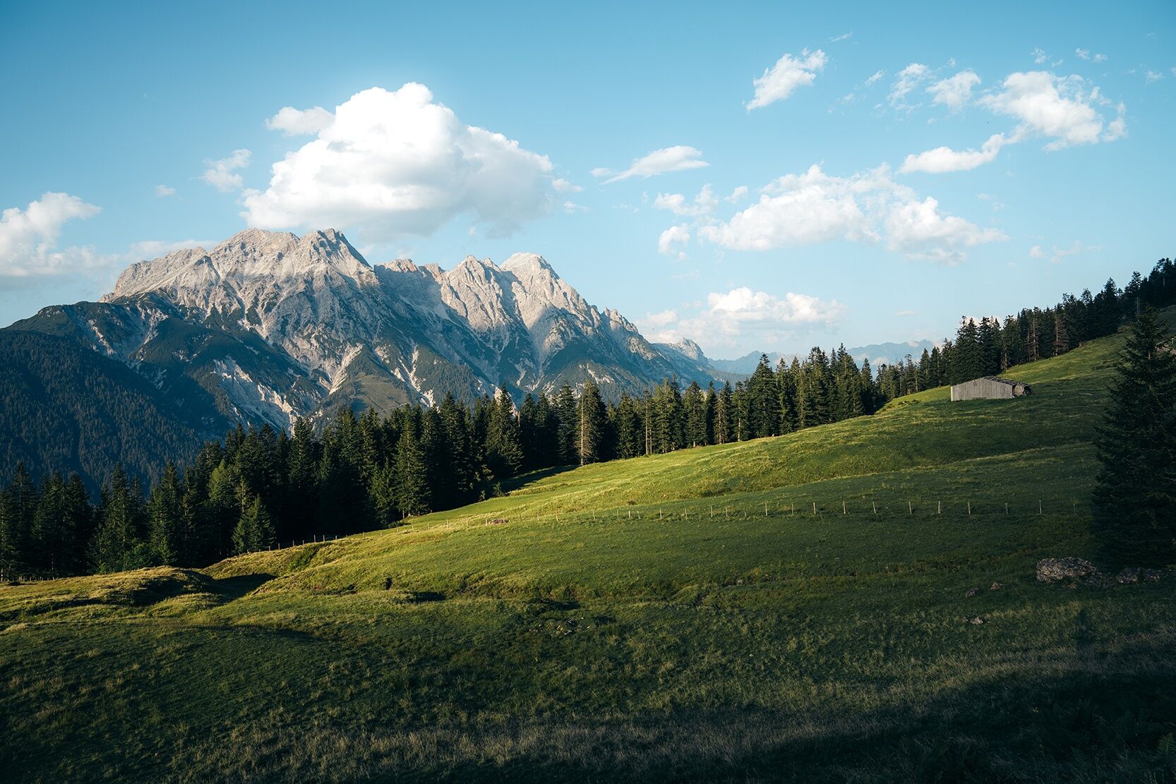
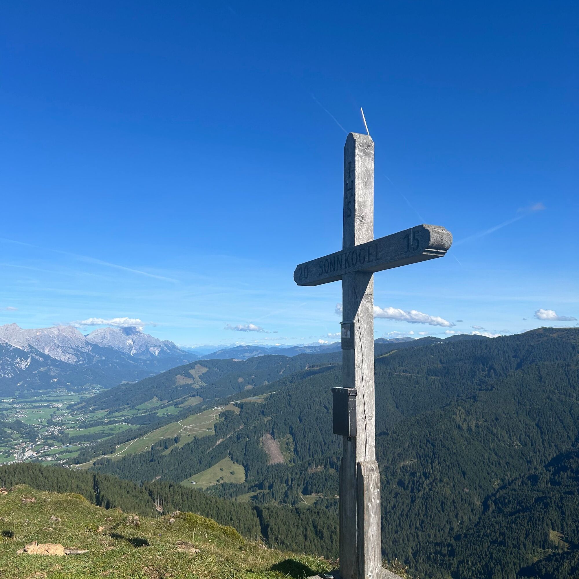
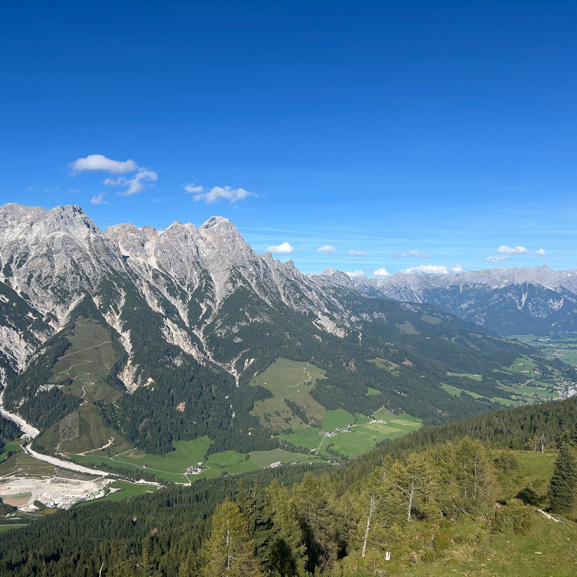

From the parking area at Tödlinggut in Grießen, cross the main road and follow the hiking trail towards the Grießner Almen. The route alternates between meadows and forest until reaching the plateau of the Grießner Almen. From there, a narrow path leads up the final elevation gain to the summit.
From Saalfelden or St. Johann in Tirol via the B 164 to Leogang.
You can enjoy your holiday from the start by train. No traffic jam will stop you from getting to Saalfelden Leogang! Furthermore, the ÖBB timetable helps you quickly and easily find the ideal train connection to Leogang station: www.oebb.at
BY BUS
You can conveniently reach the starting point by bus via the stop "Grießen B164". The stop is directly at the starting point of the hike. More information can be found at https://fahrplan.salzburg-verkehr.at/
A marked hiking parking lot is available at the starting point at Tödlinggut (limited number).
T2
The Grießner Almen are accessible by mountain bike. From there, the final ascent to the summit continues on foot.
Kamery internetowe z trasy
Uzyskaj wgląd
Zawsze na żywo z ponad 9 500 kamer internetowych. bergfex Jako użytkownik Pro, możesz teraz zobaczyć odpowiednie kamery internetowe dla wielu wycieczek w aplikacji wycieczki od. Pozwala to na bezpośredni podgląd aktualnych warunków.
Popularne wycieczki w okolicy
-
4,7
Loferer Steinberge, zum Hinterhorn über die Schmid-Zabierow Hütte, 19.06.22
ciężkiWędrówka 14,0 km -
4,5
Seisenberg Gorge
światłoWędrówka 2,41 km -
4,2
Passauer Hütte
ciężkiWędrówka 4,14 km -
4,1
Maurerkogel (Top)
Wędrówka 10,5 km -
4,5
Birnbachloch Leogang, Österreich
średniWędrówka 5,18 km -
4,0
Berg der Sinne
światłoWędrówka 4,39 km -
4,6
Lettlkaser
średniWędrówka 4,40 km -
4,6
Panorama route 3 peaks and 2 lakes
średniWędrówka 7,21 km -
5,0
Leo’s play hiking trail
światłoTrasa tematyczna 4,89 km -
4,2
Saalachtaler Höhenweg EAST (Asitz - Biberg)
średniWędrówka 13,1 km
Wędrówki i tropienie


Nie przegap ofert i inspiracji na następne wakacje
Twój adres e-mail została dodana do listy mailingowej.





