







Gurpischeck - from Obertauern to Weißpriach
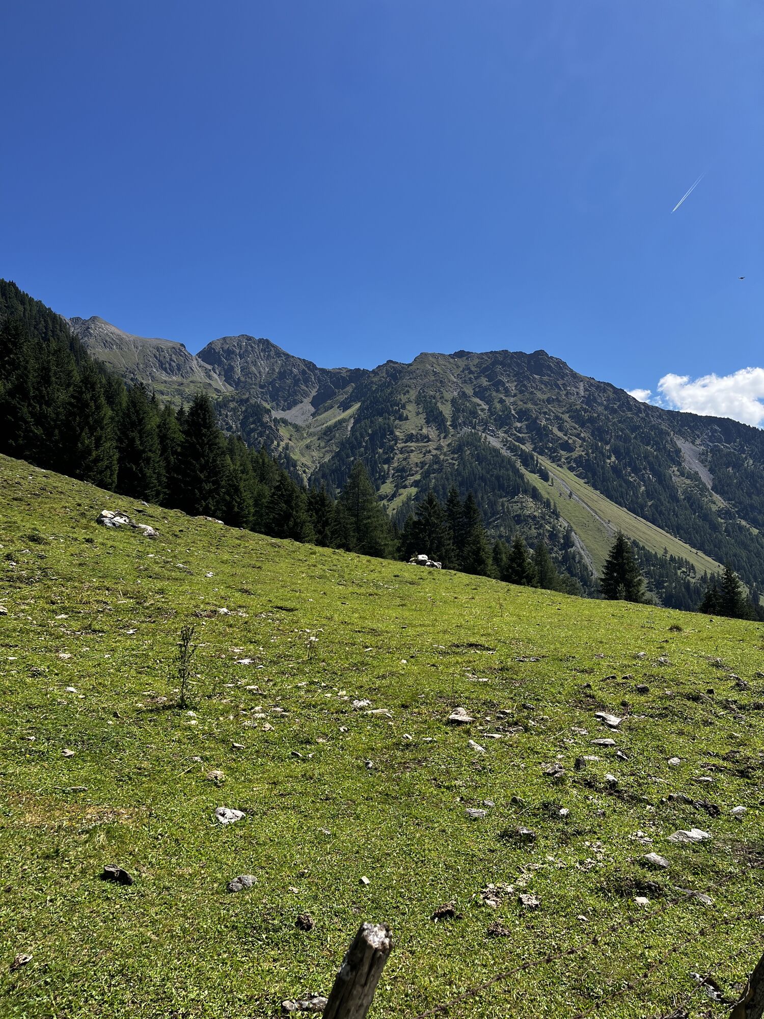
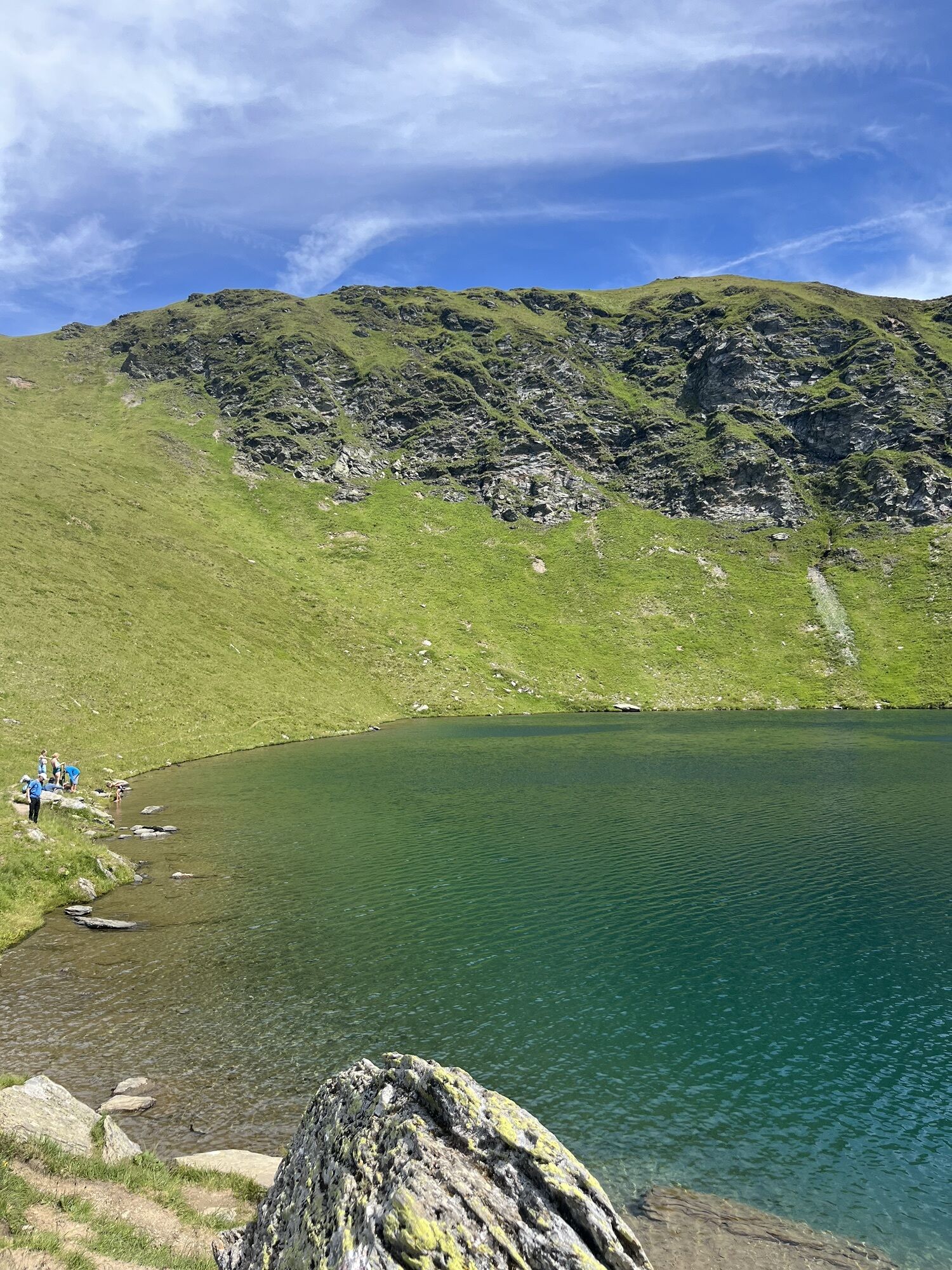
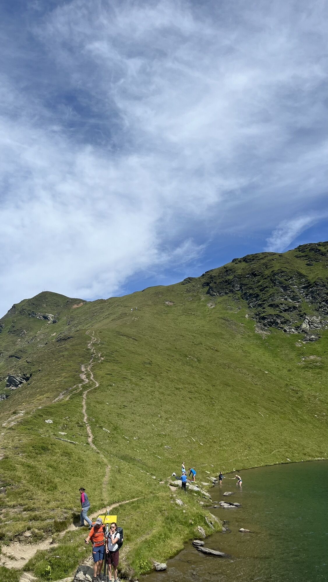
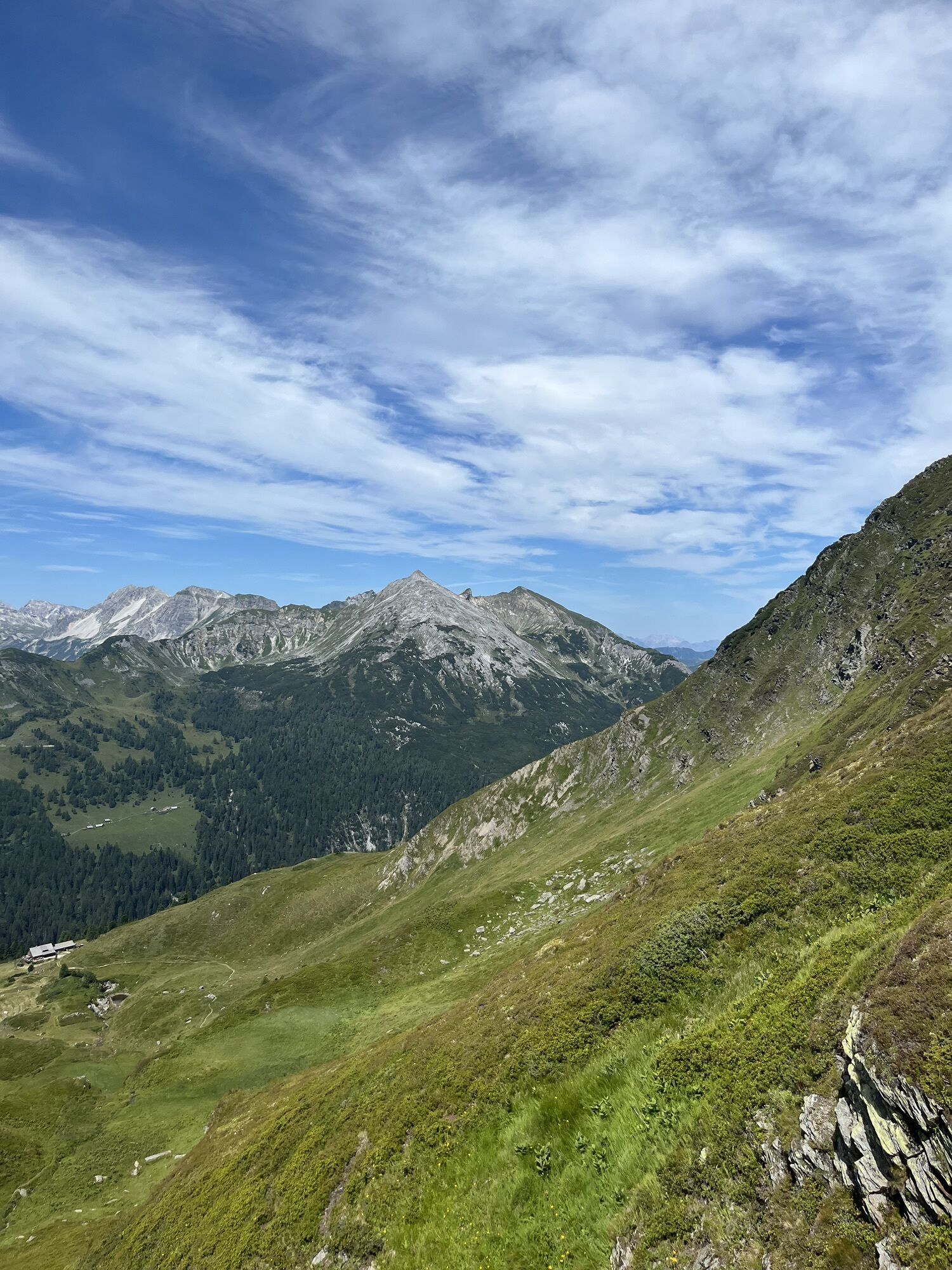
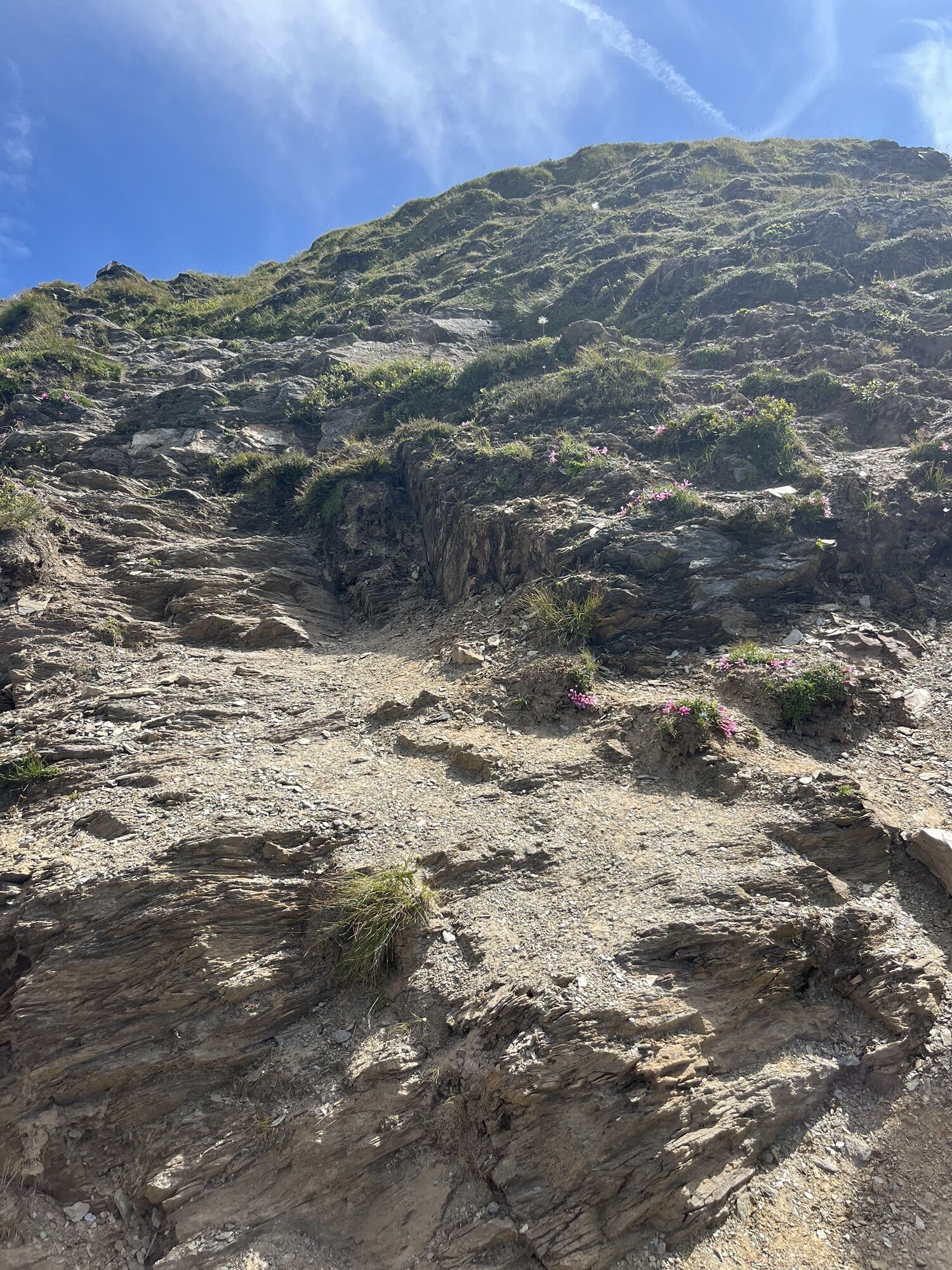
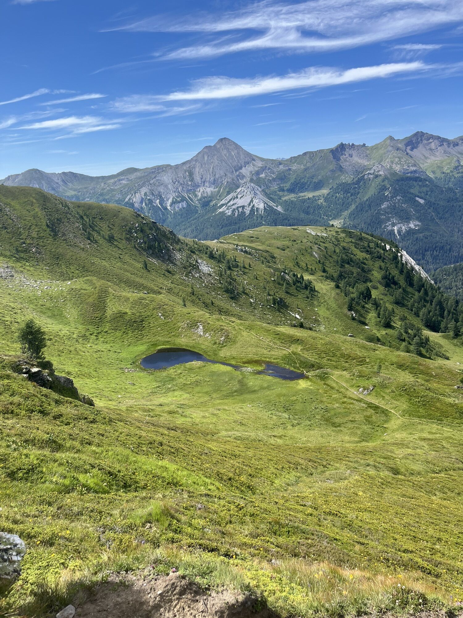
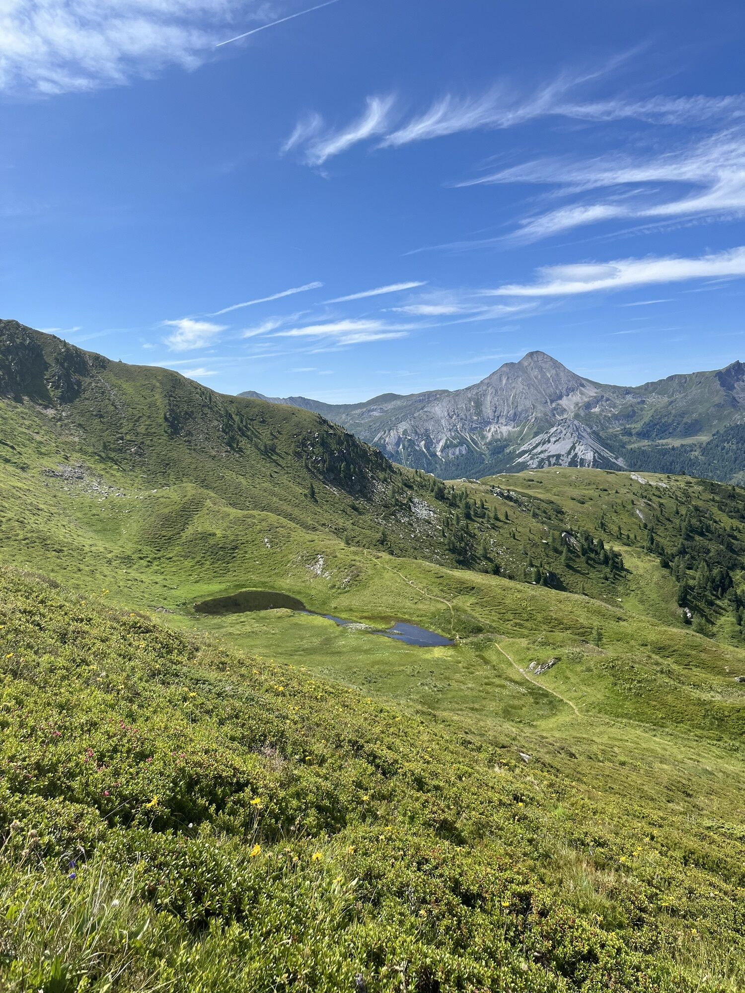
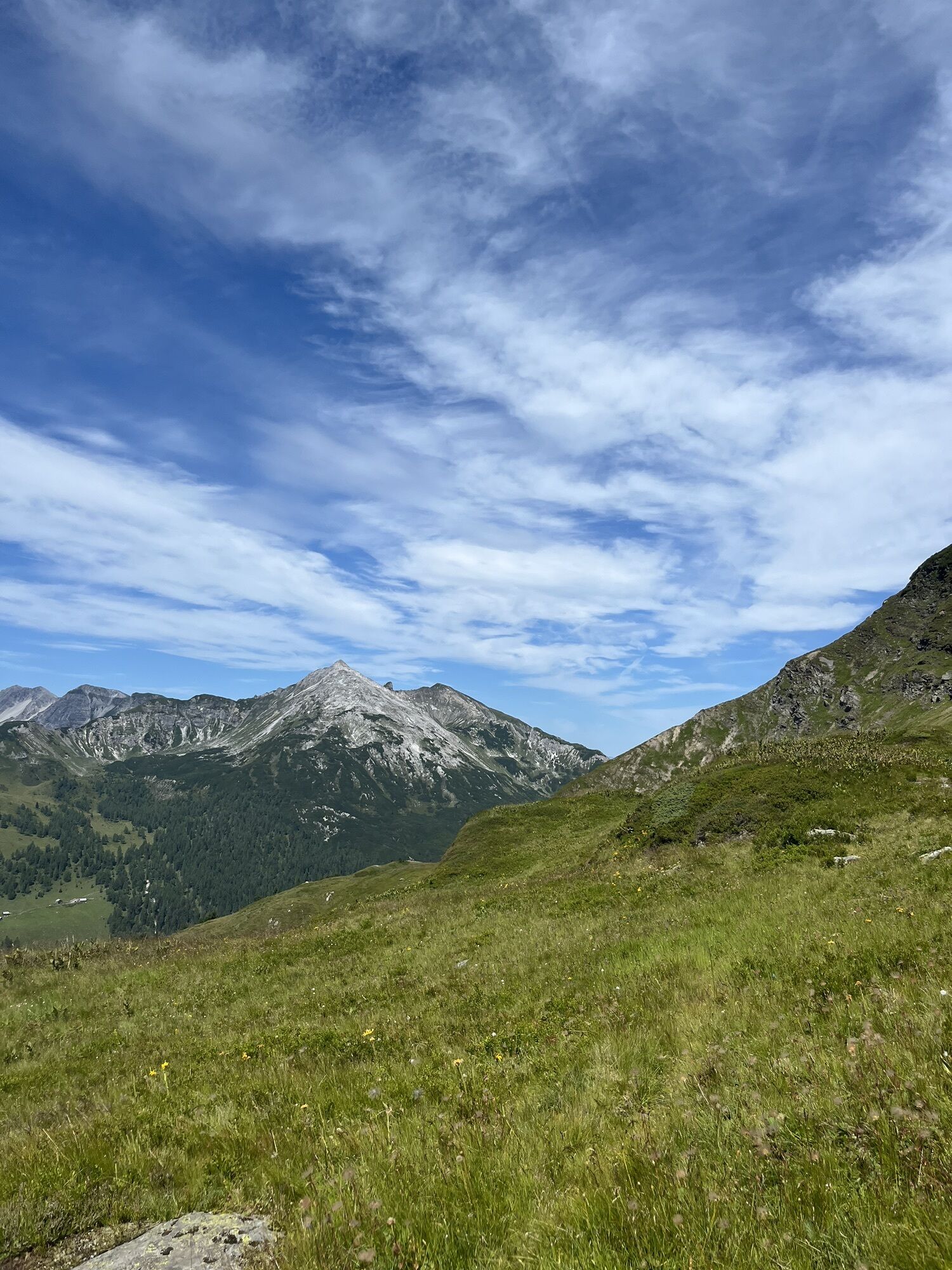
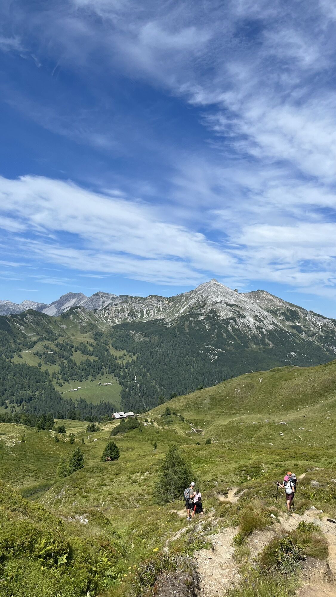
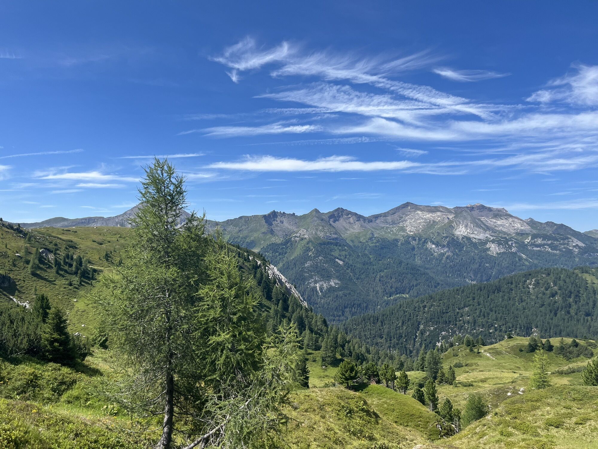
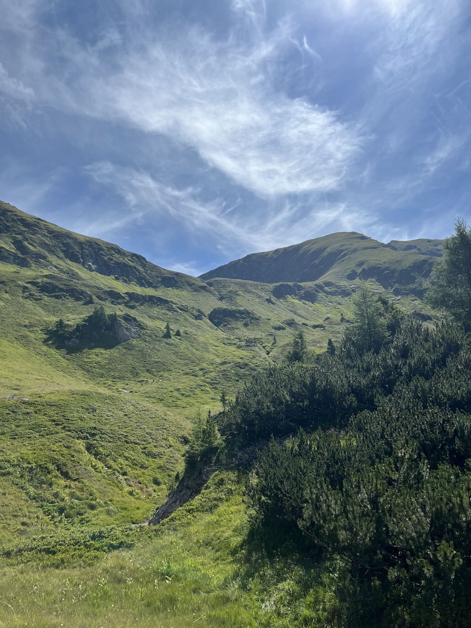
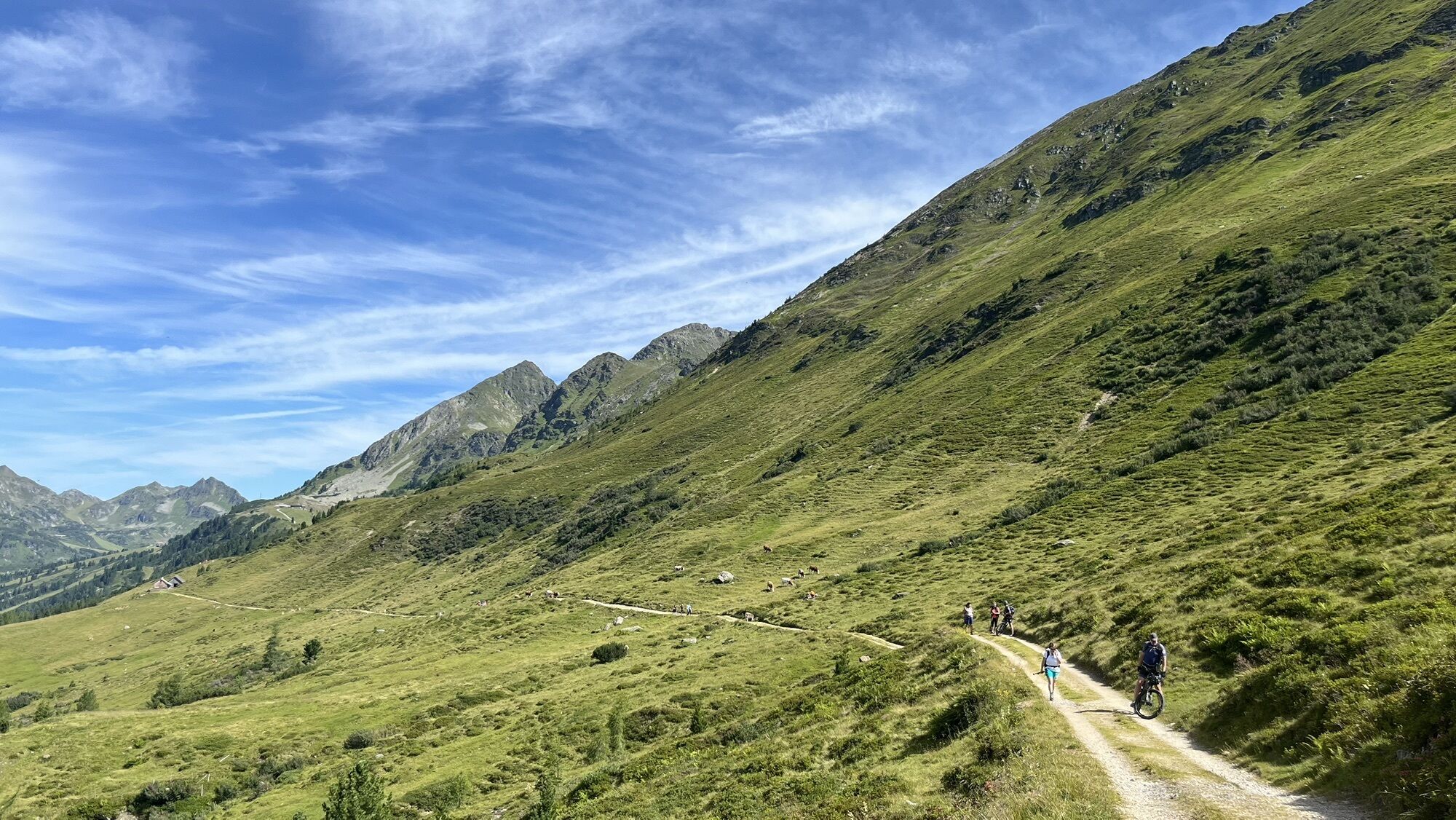
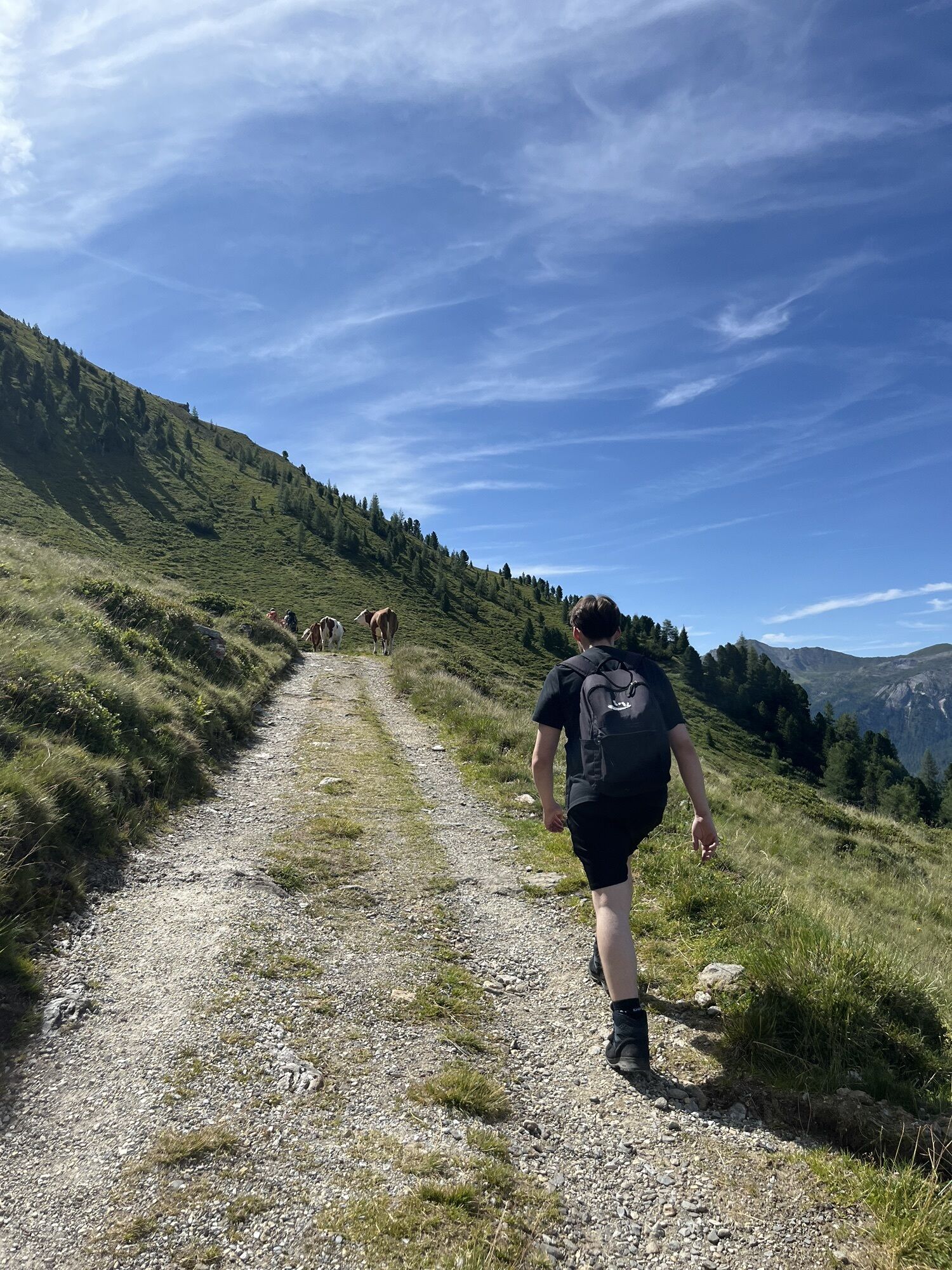
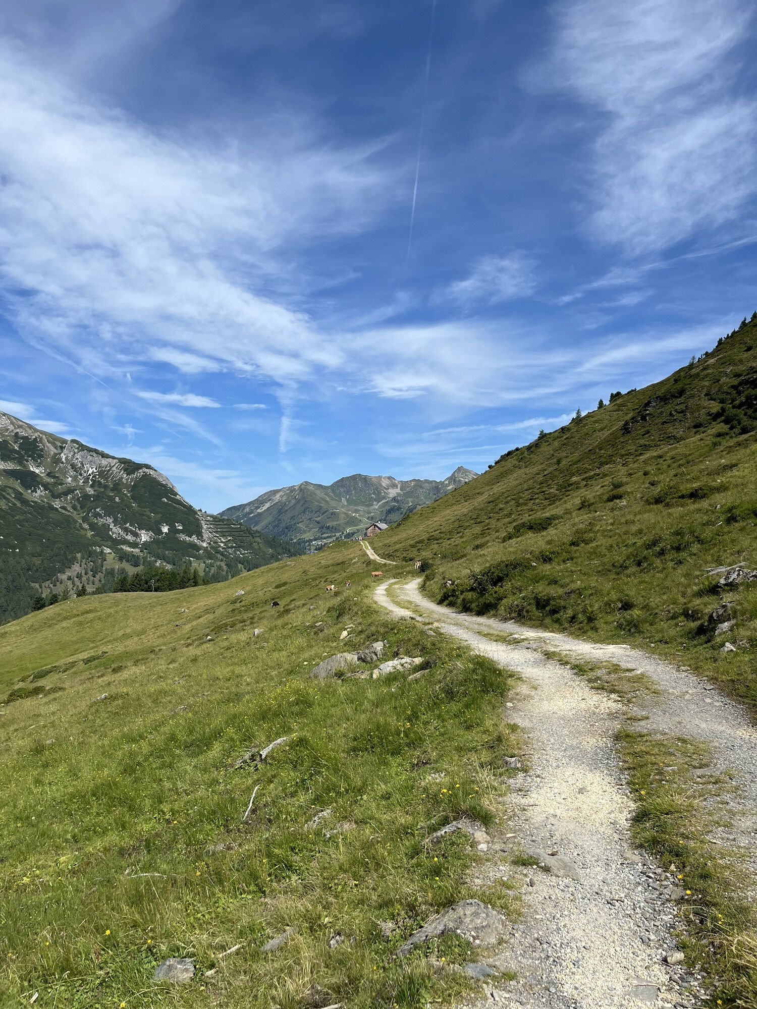
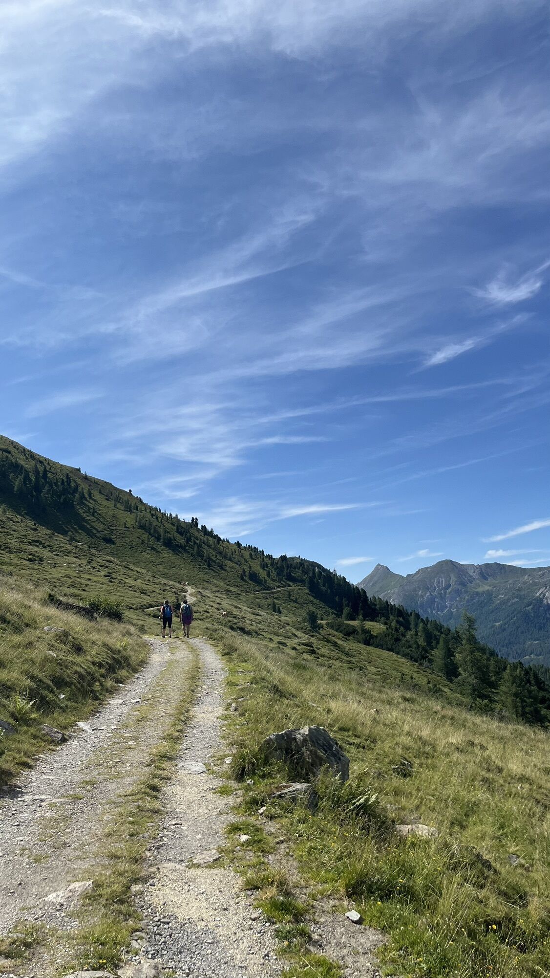
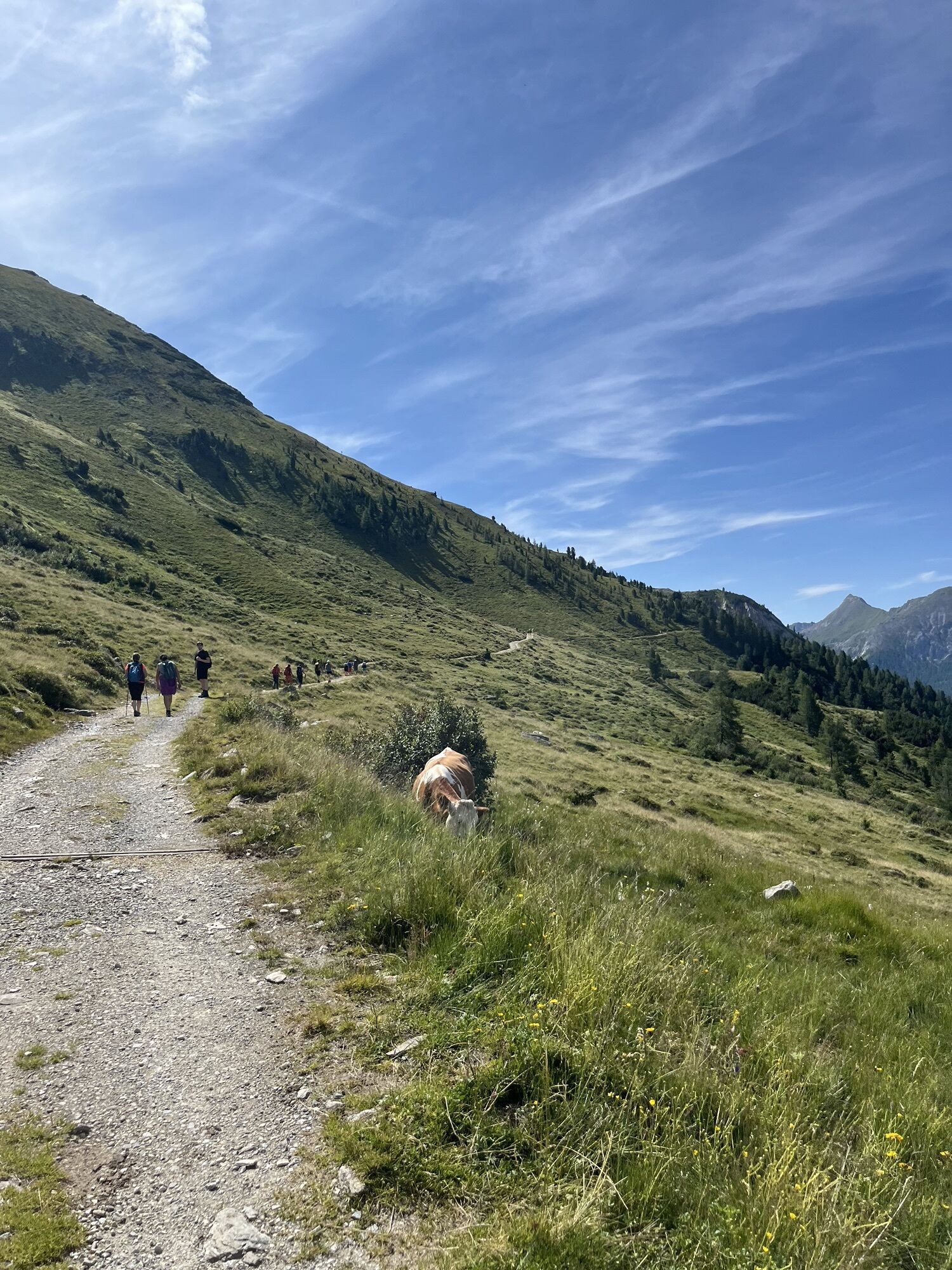
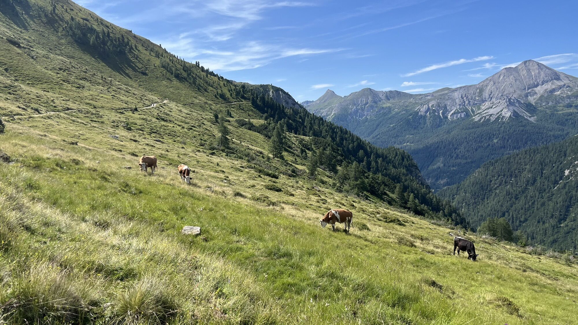
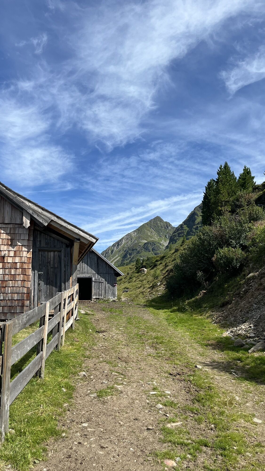
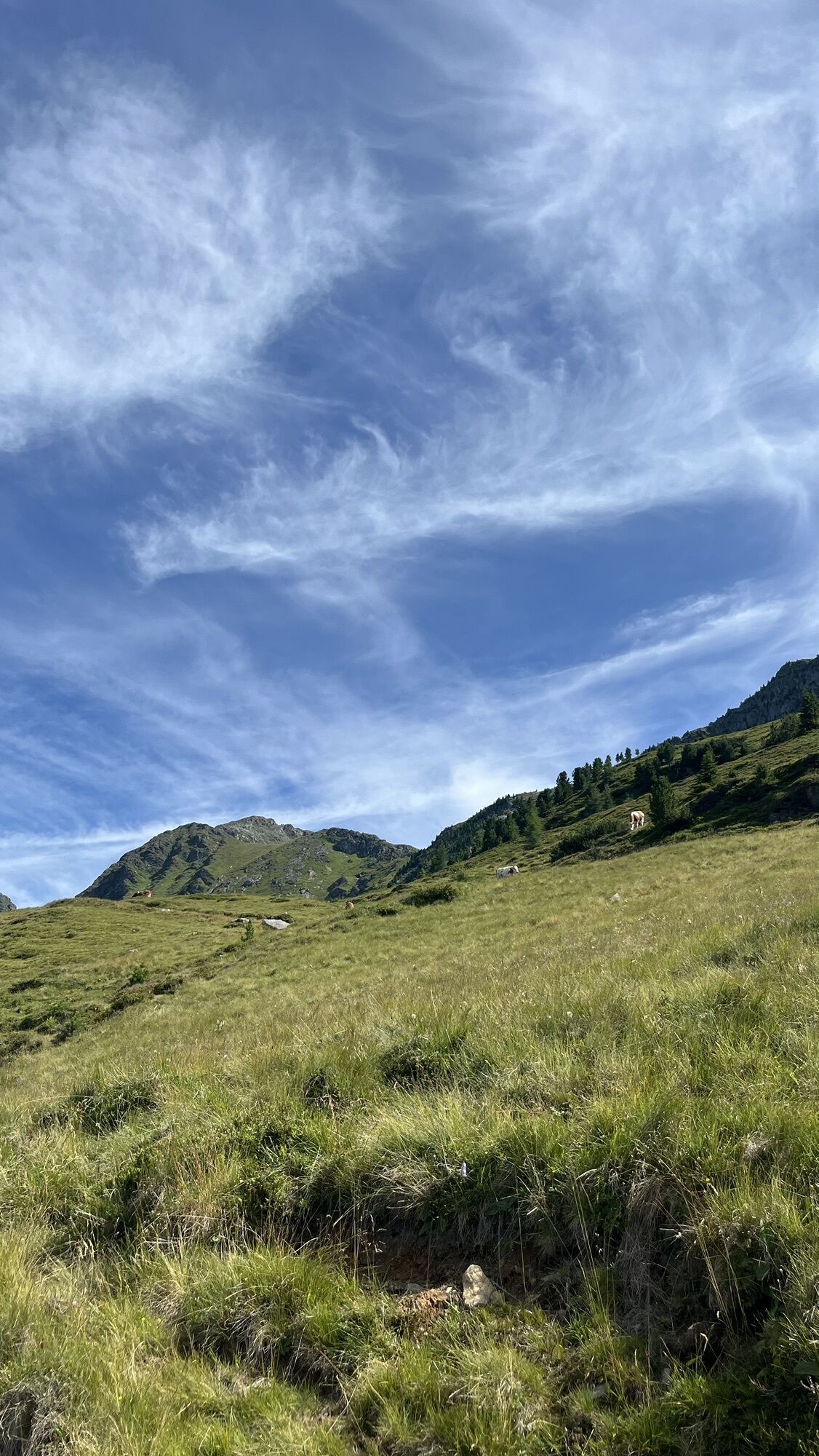
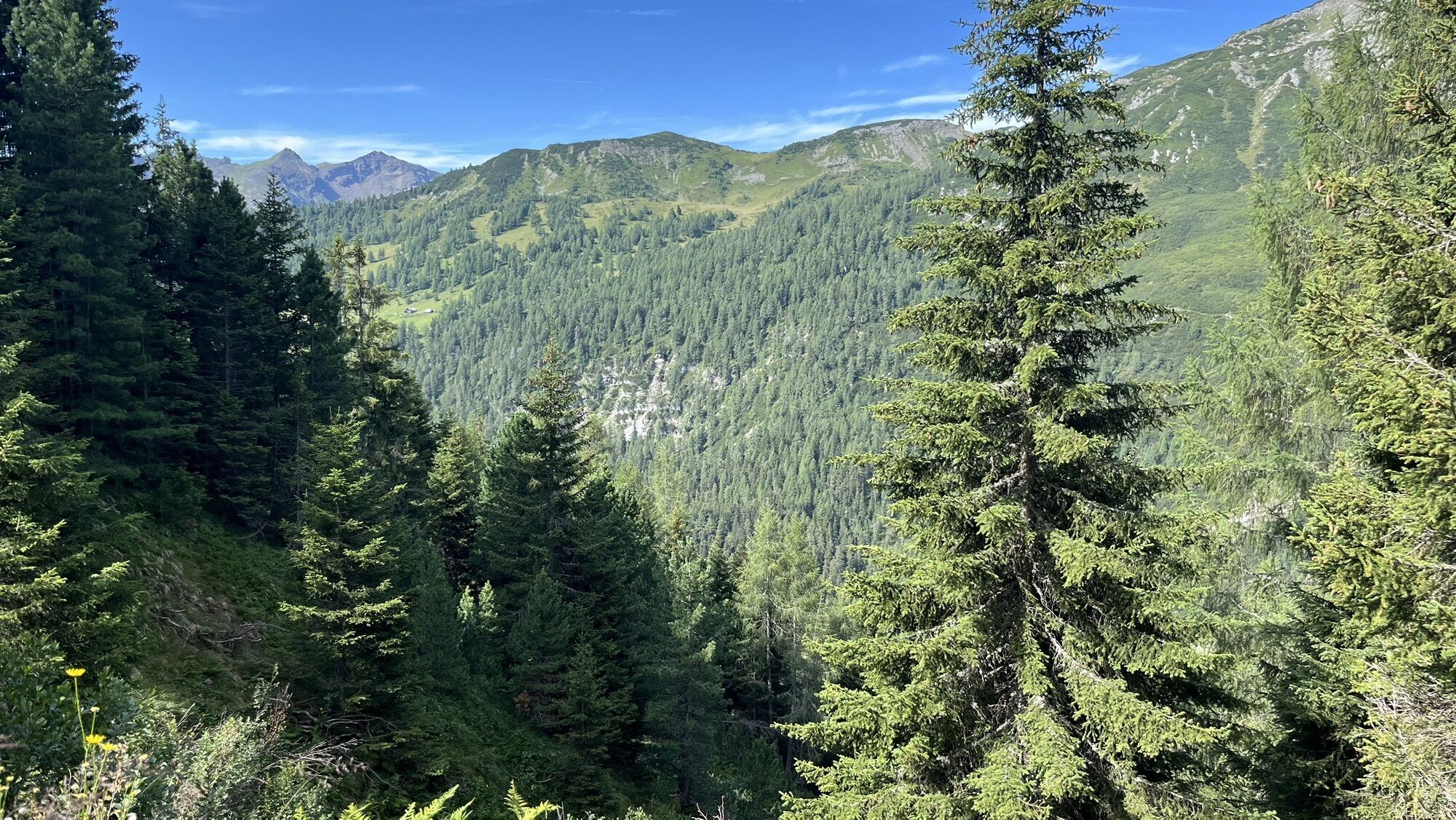
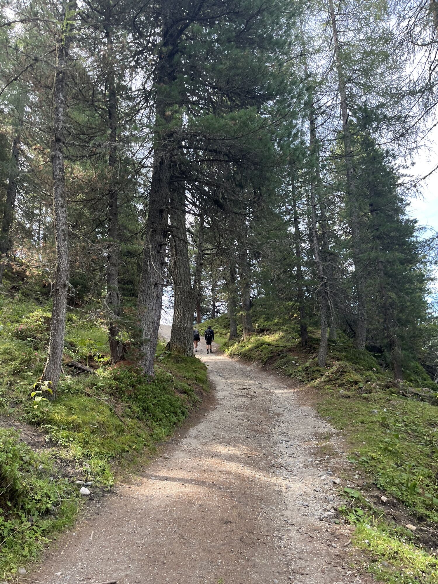
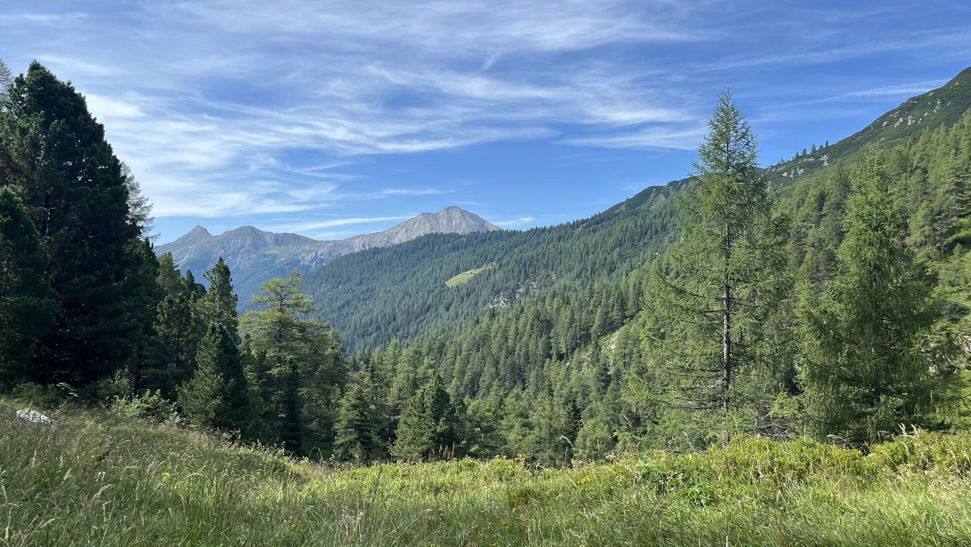
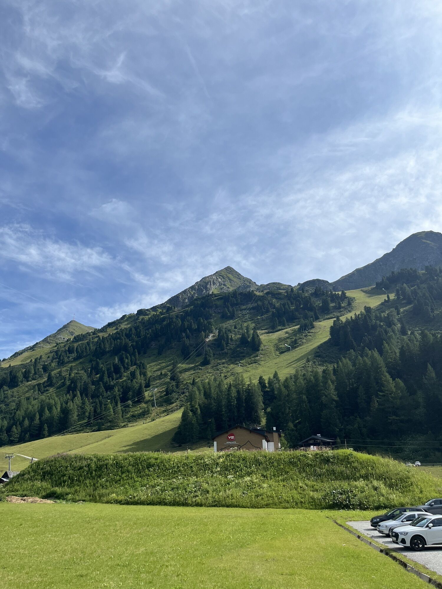
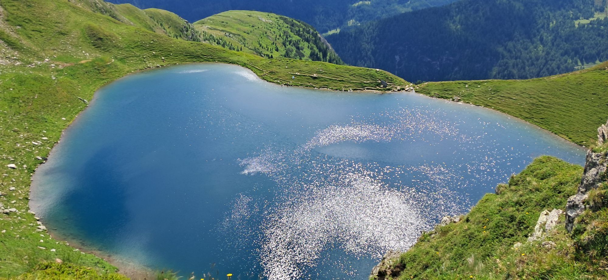
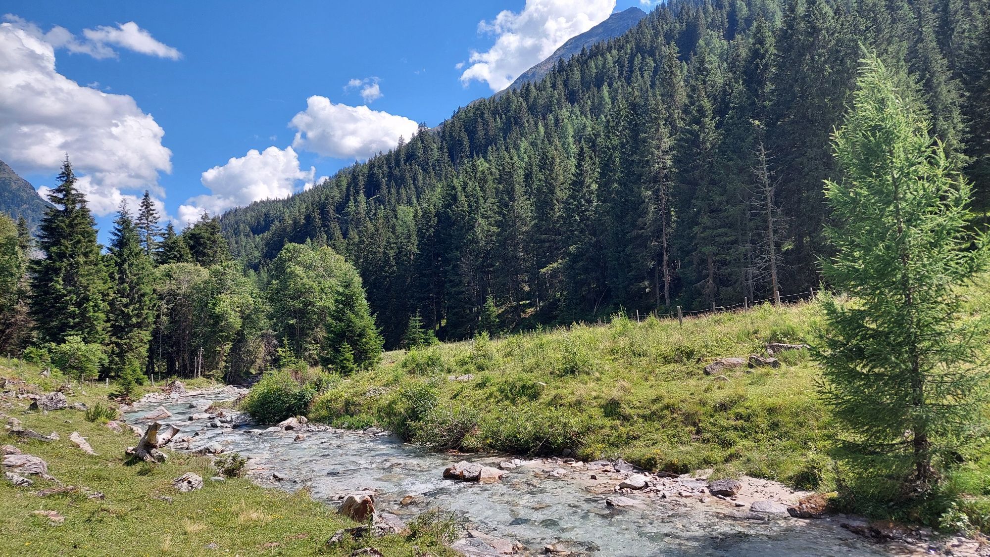
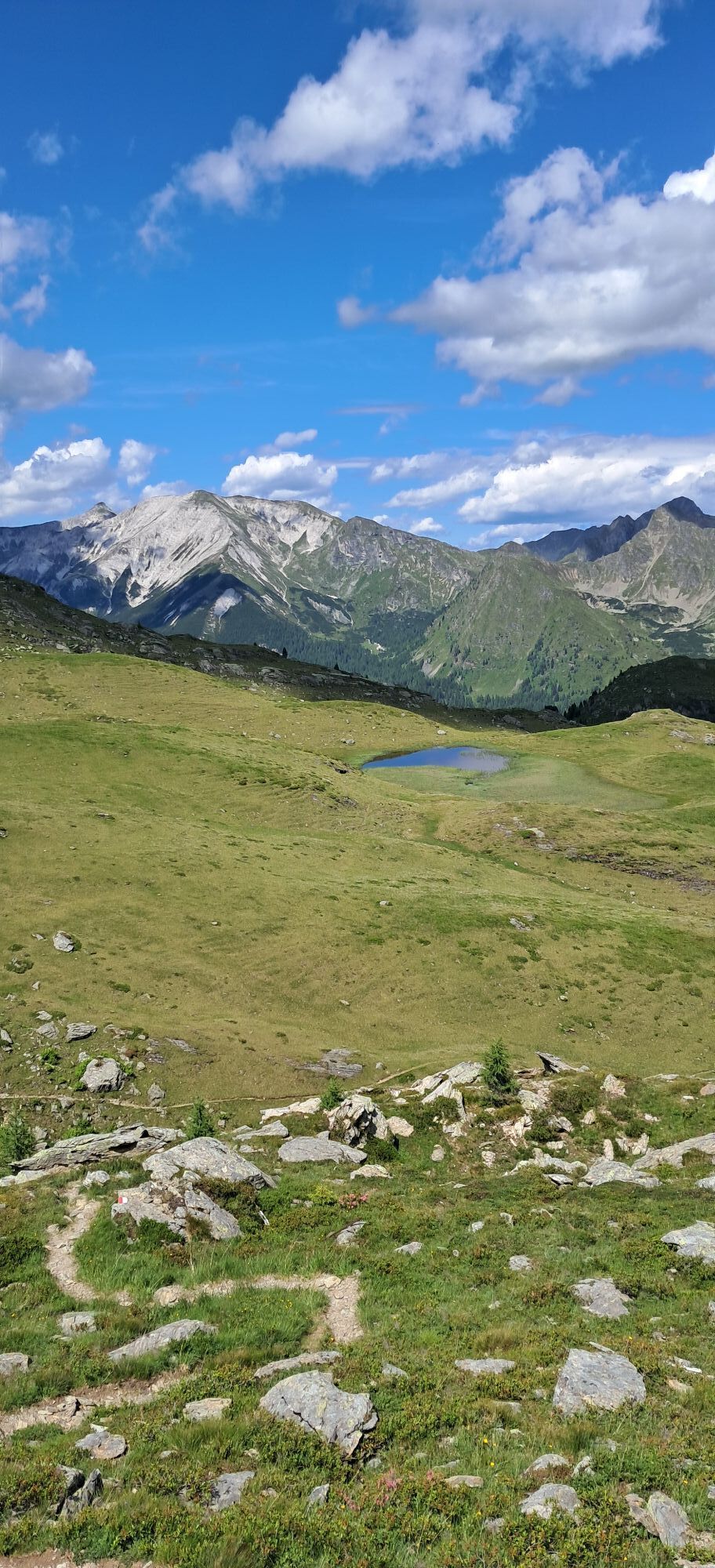
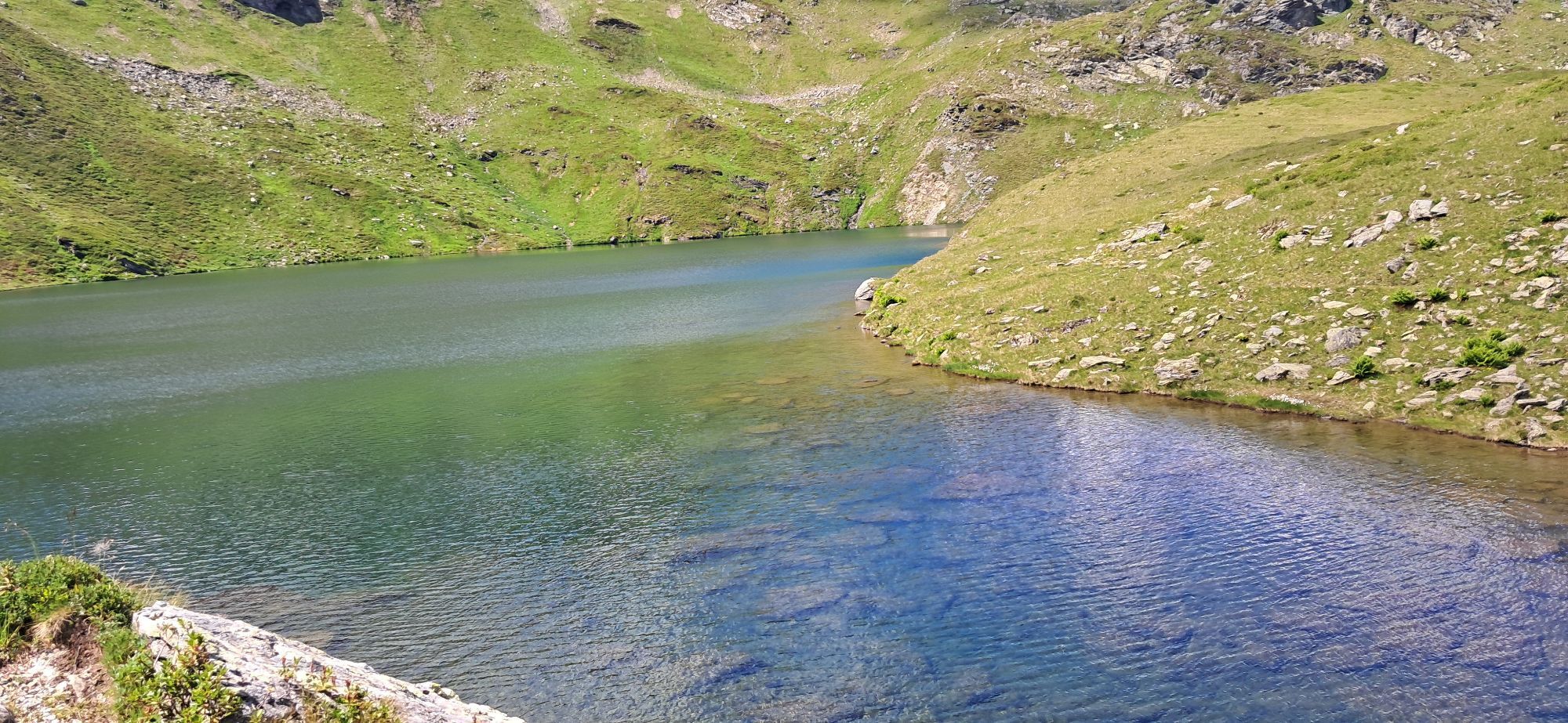
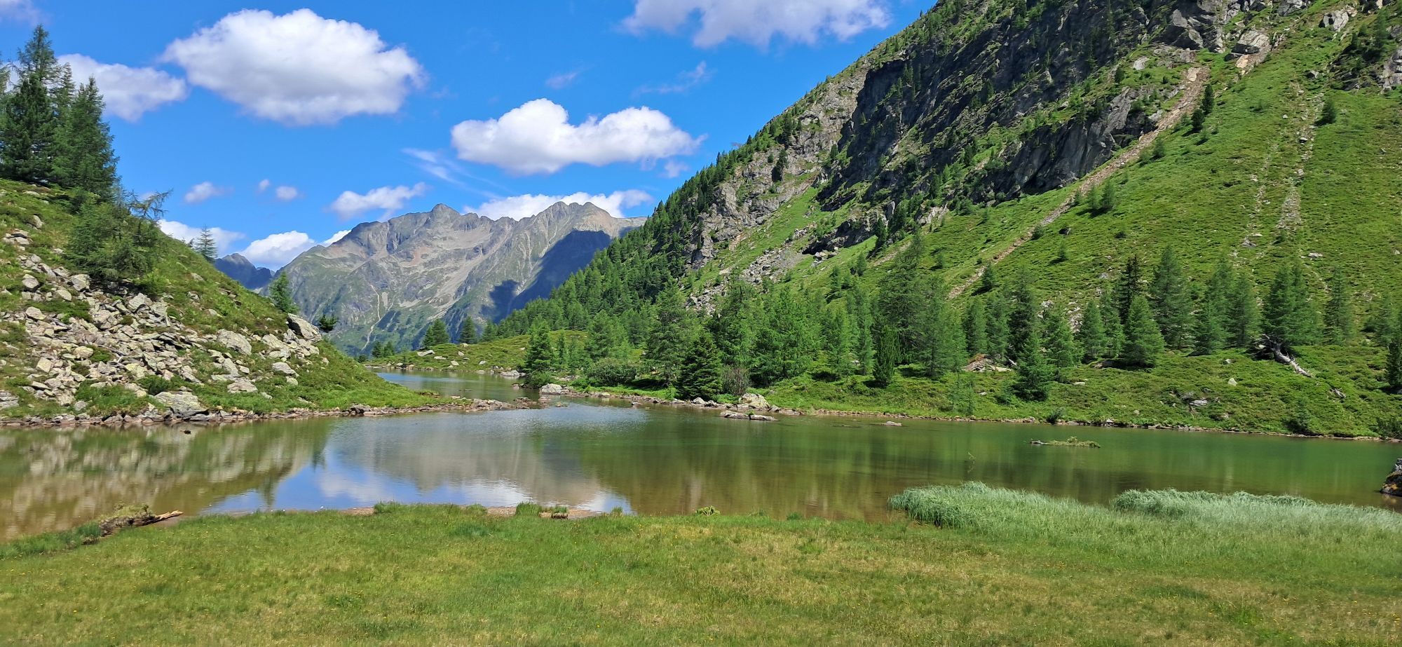
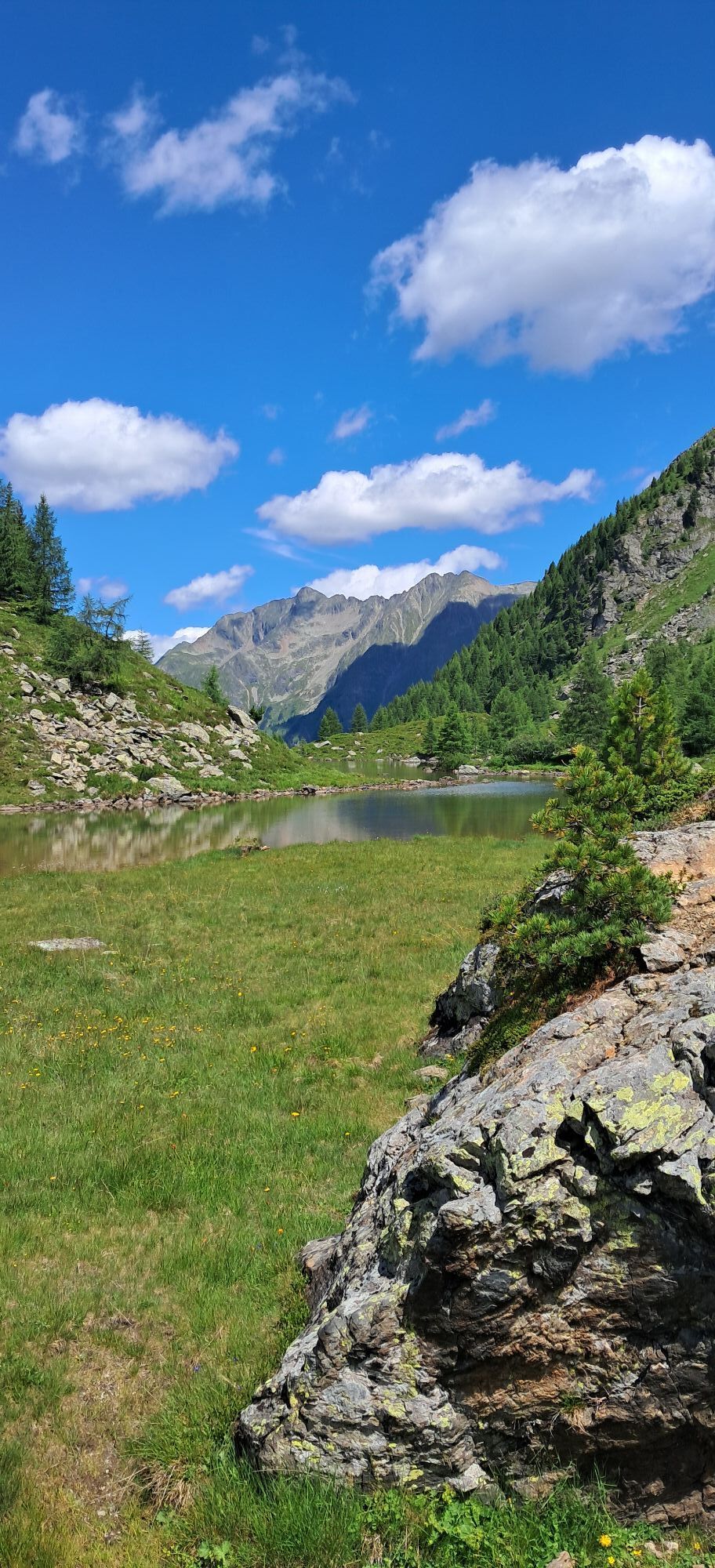
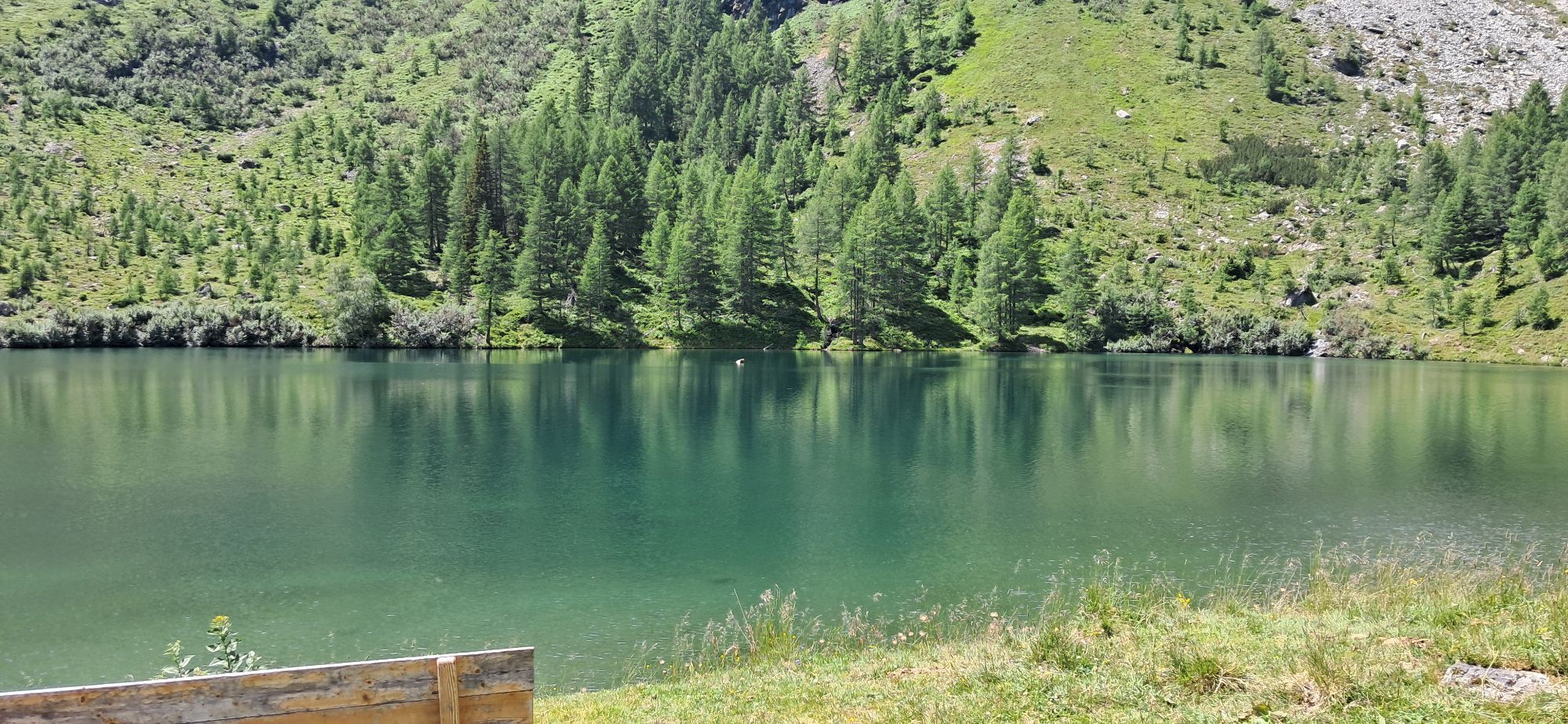
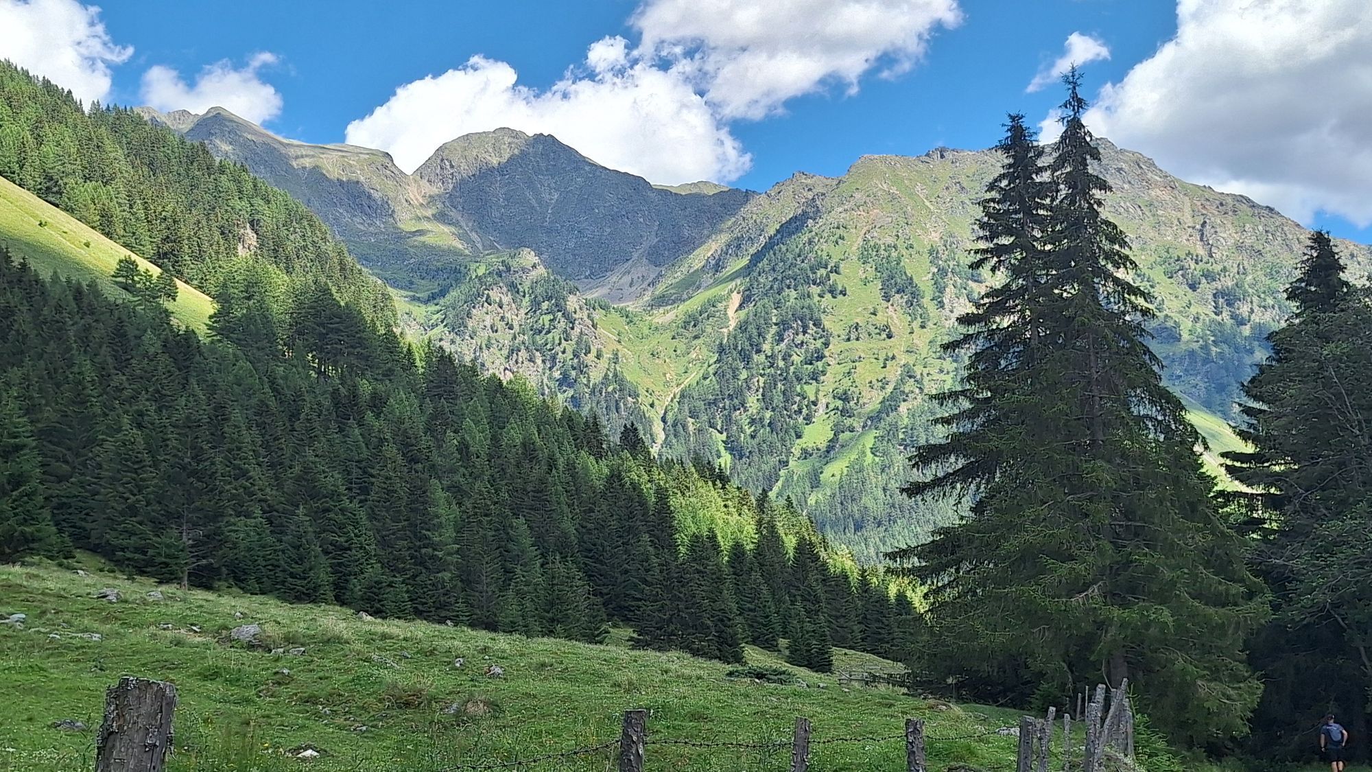
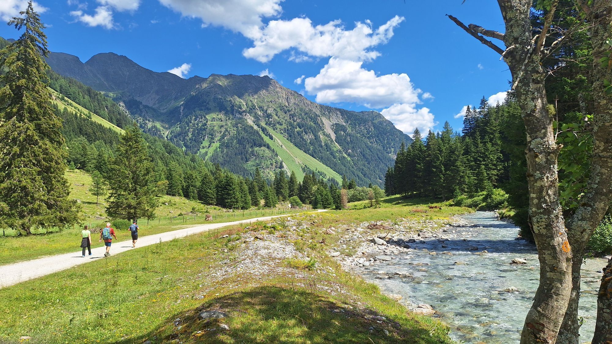
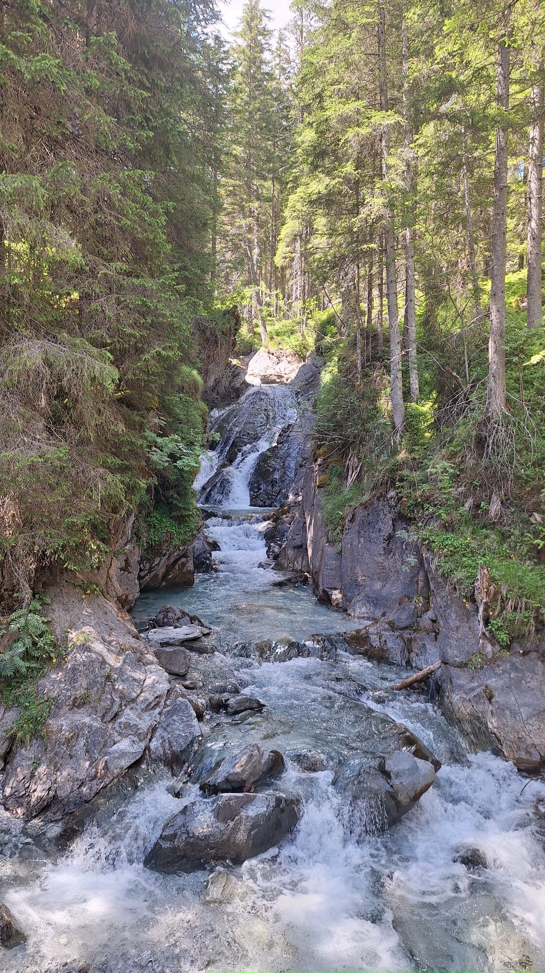
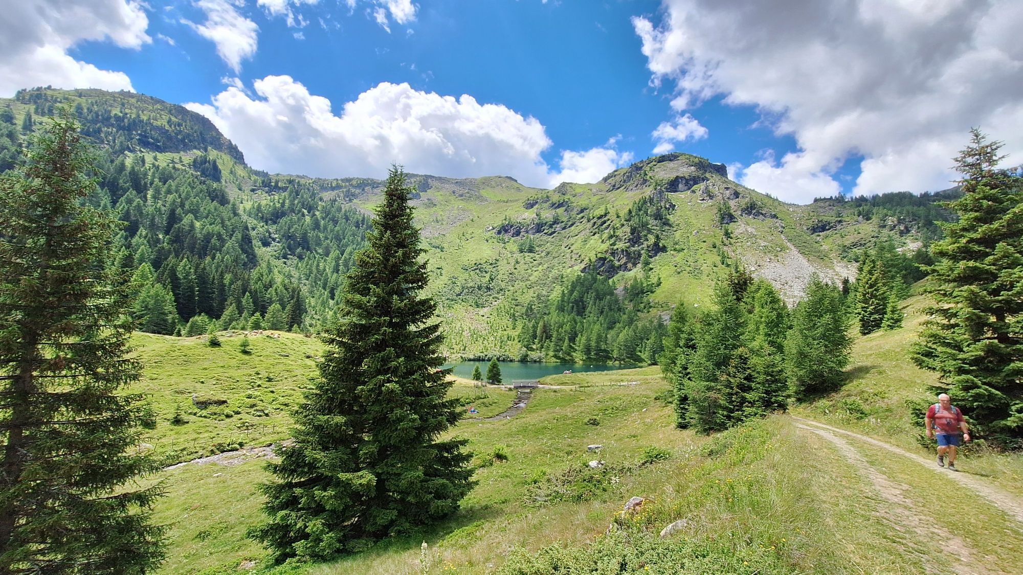
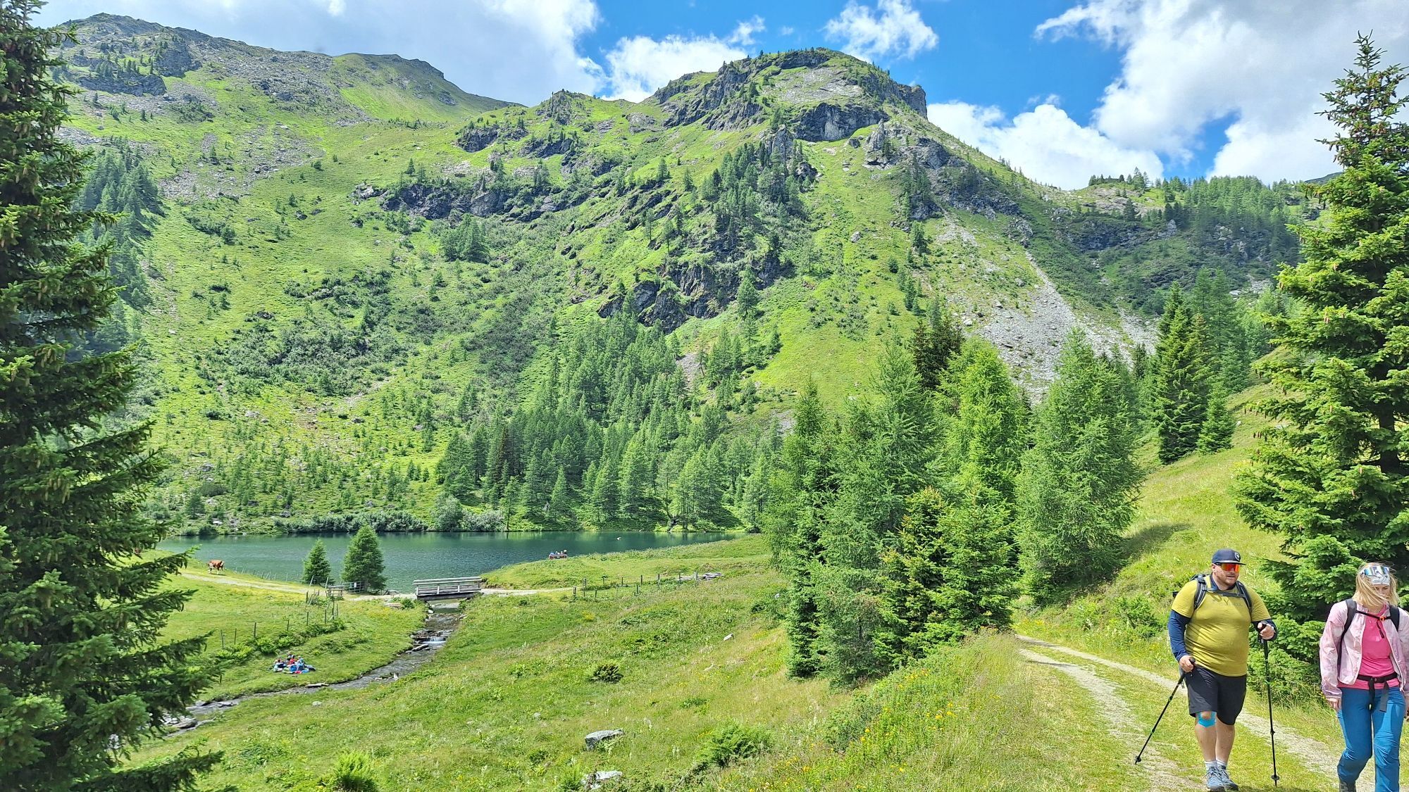
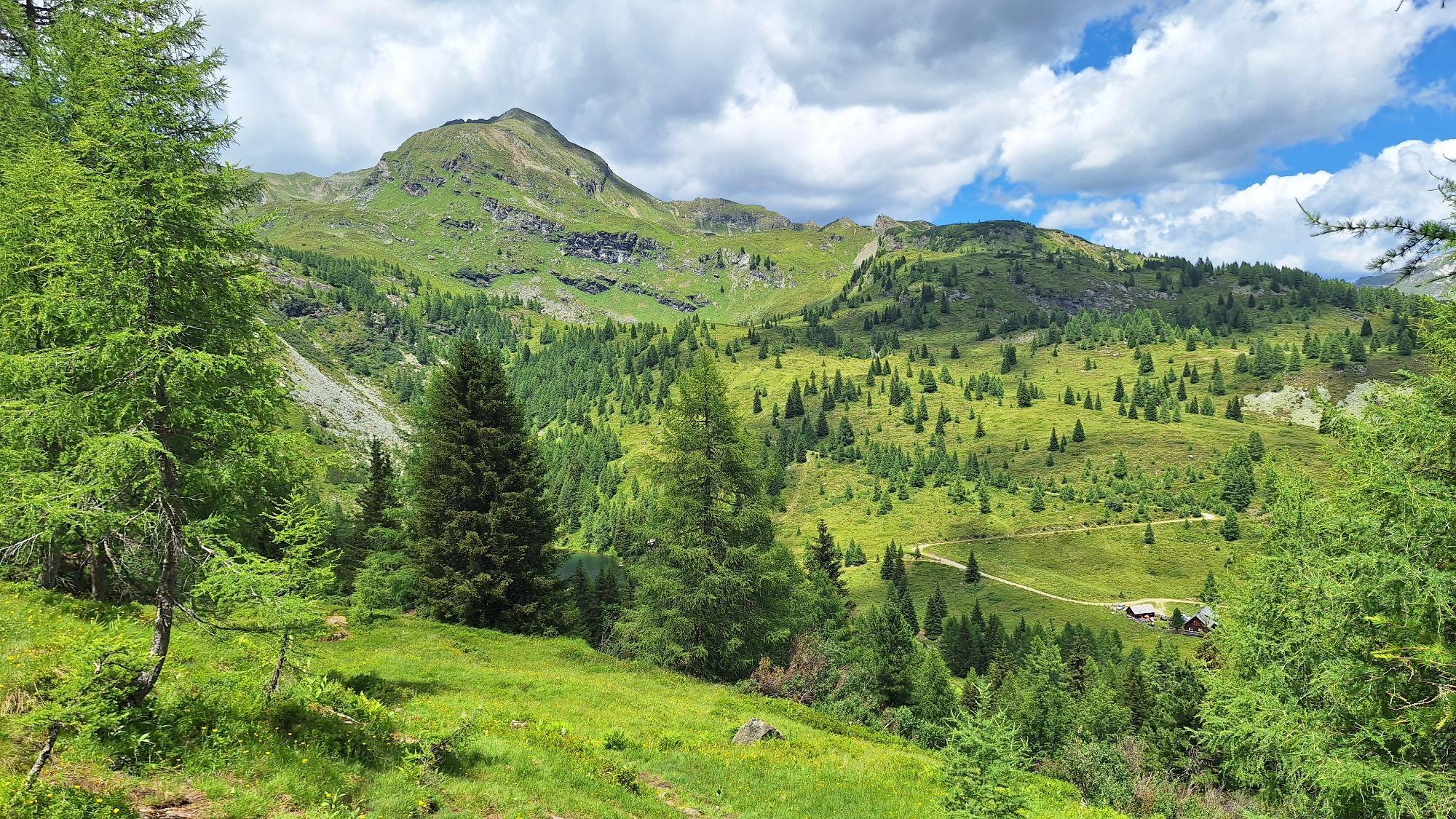
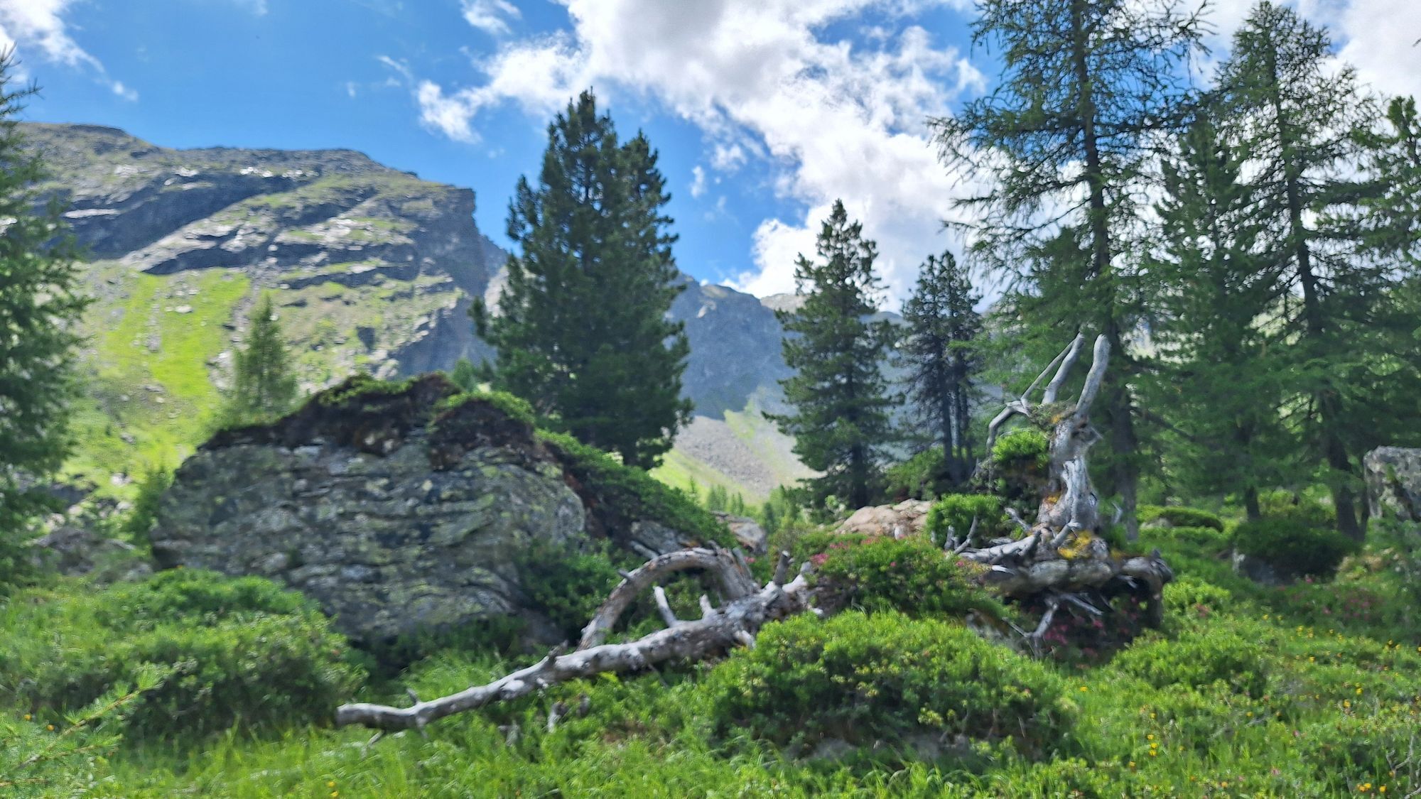
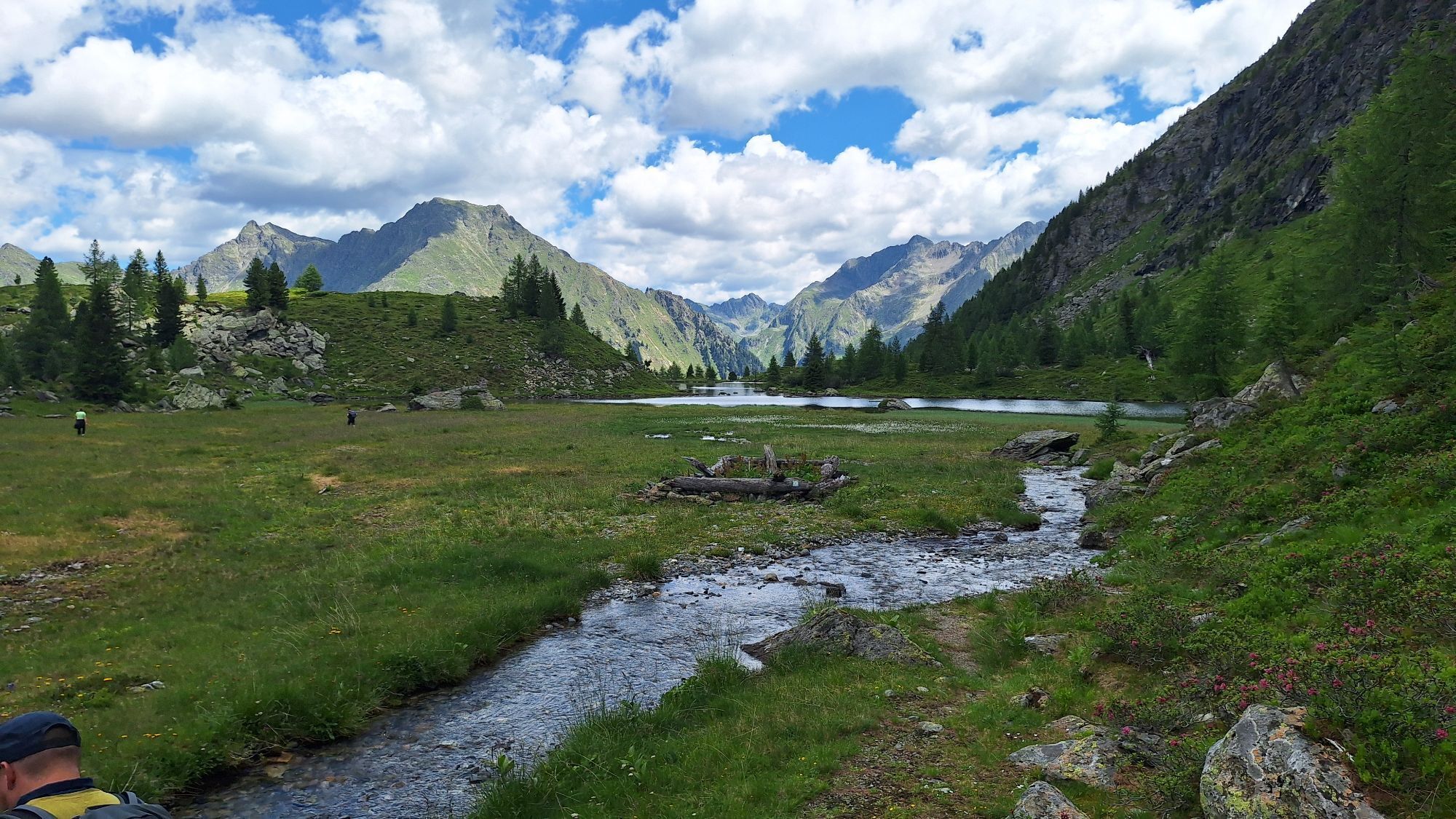
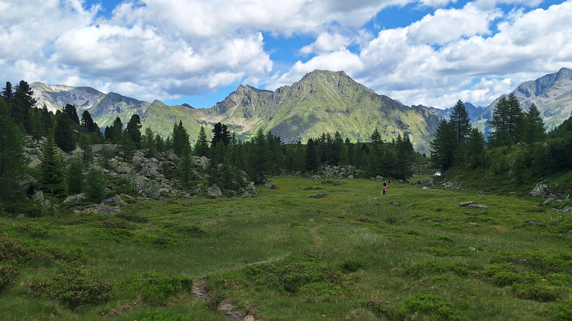
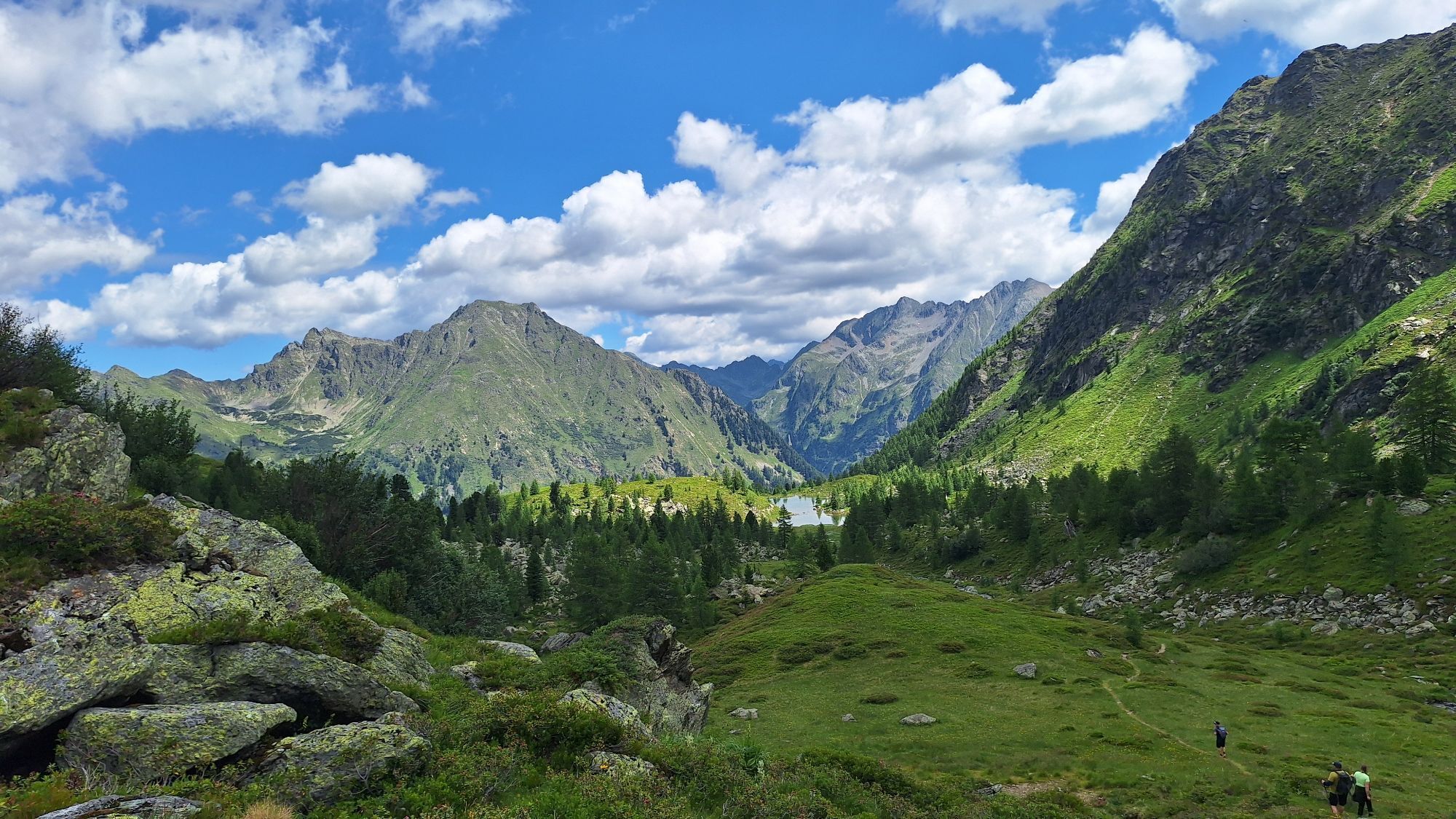
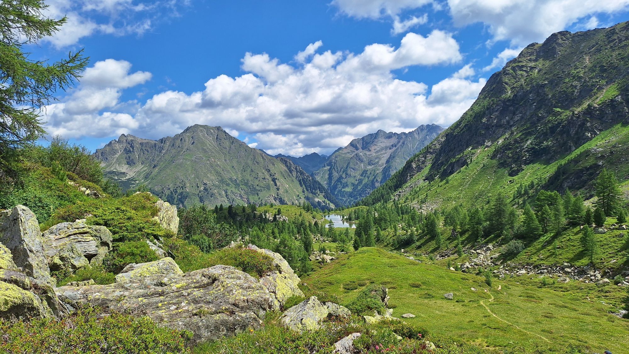
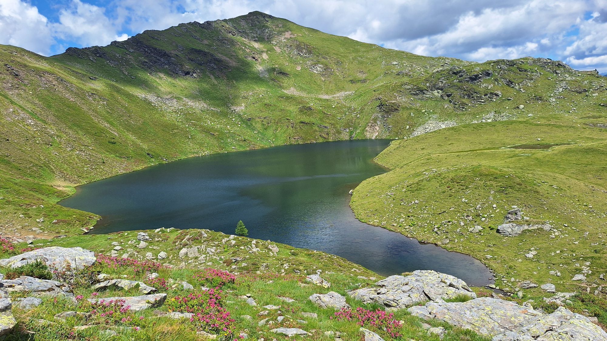
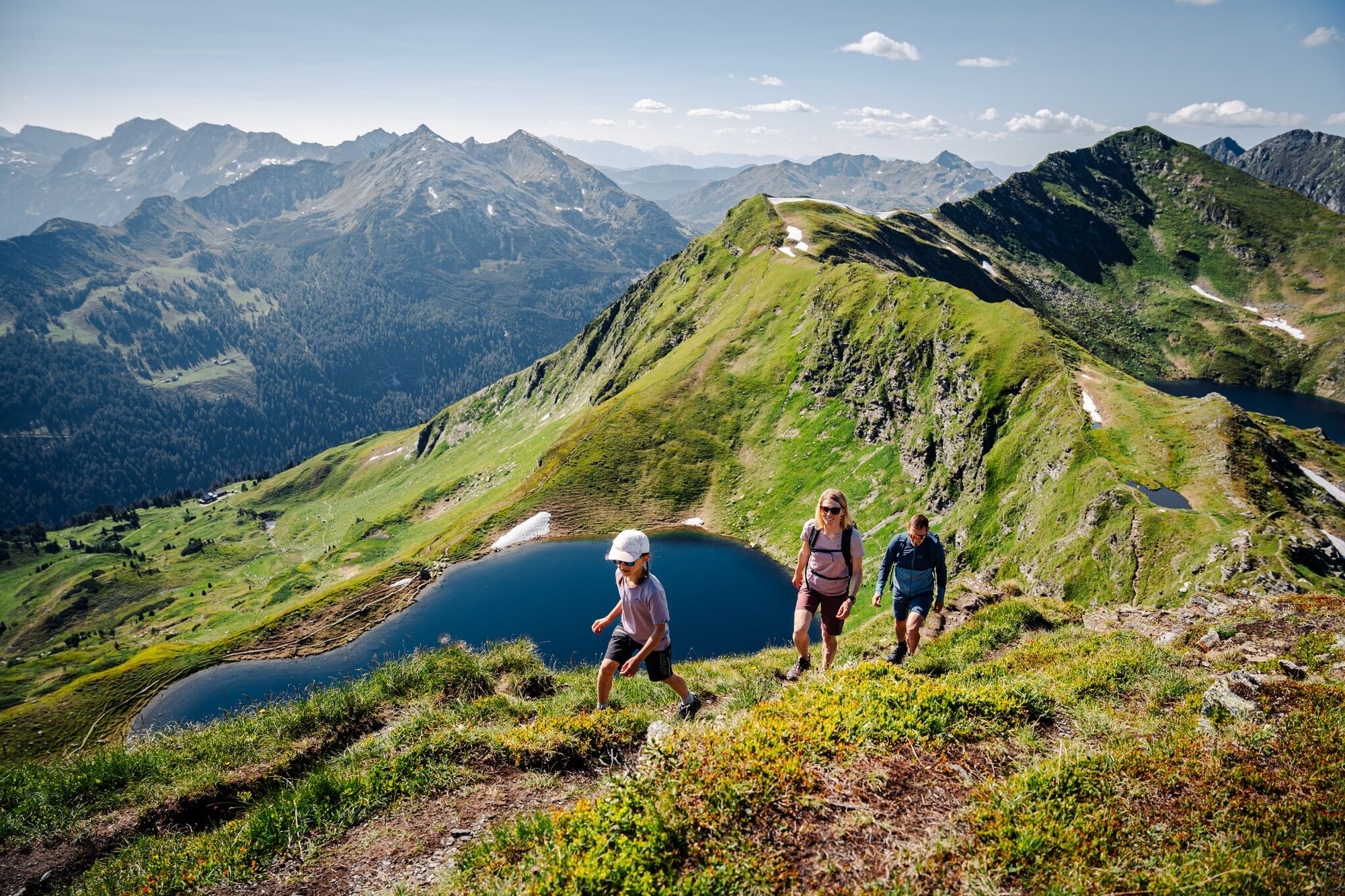
The tour starts in Obertauern at the Schaidberg car park and first takes you along the well-marked trail towards the Twenger Almsee, passing the Twenger Alm, which is open during the summer holidays. This...
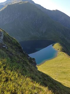
The tour starts in Obertauern at the Schaidberg car park and first takes you along the well-marked trail towards the Twenger Almsee, passing the Twenger Alm, which is open during the summer holidays. This idyllic mountain lake is nestled in a gentle high valley and is perfect for your first short break.
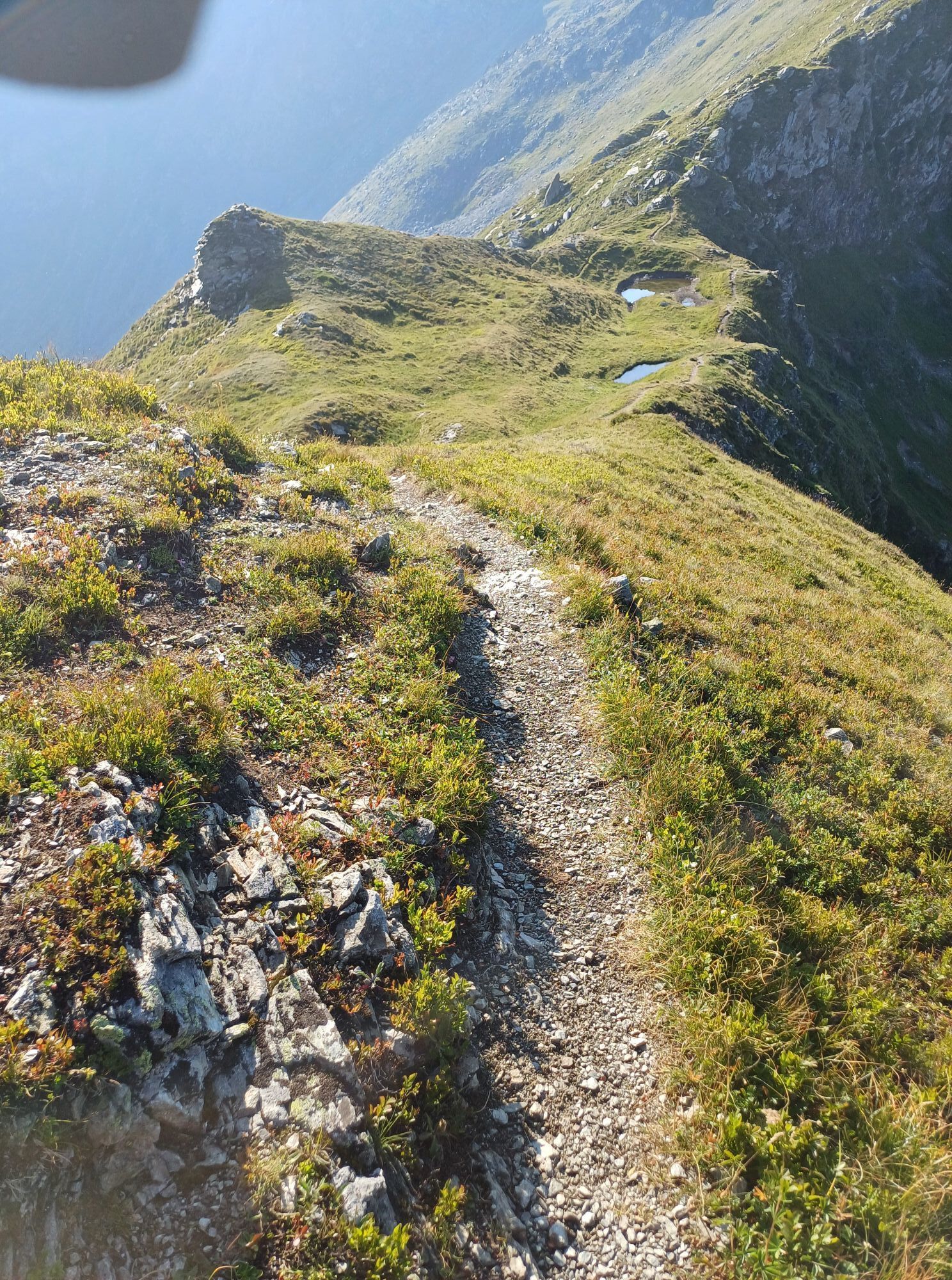
The trail then continues, becoming steeper as it leads up towards the Große Gurpitscheck (2,526 m). Once you reach the summit, you are rewarded with a 360° panorama of the Niedere Tauern, the Obertauern area, and the Lungau basin.
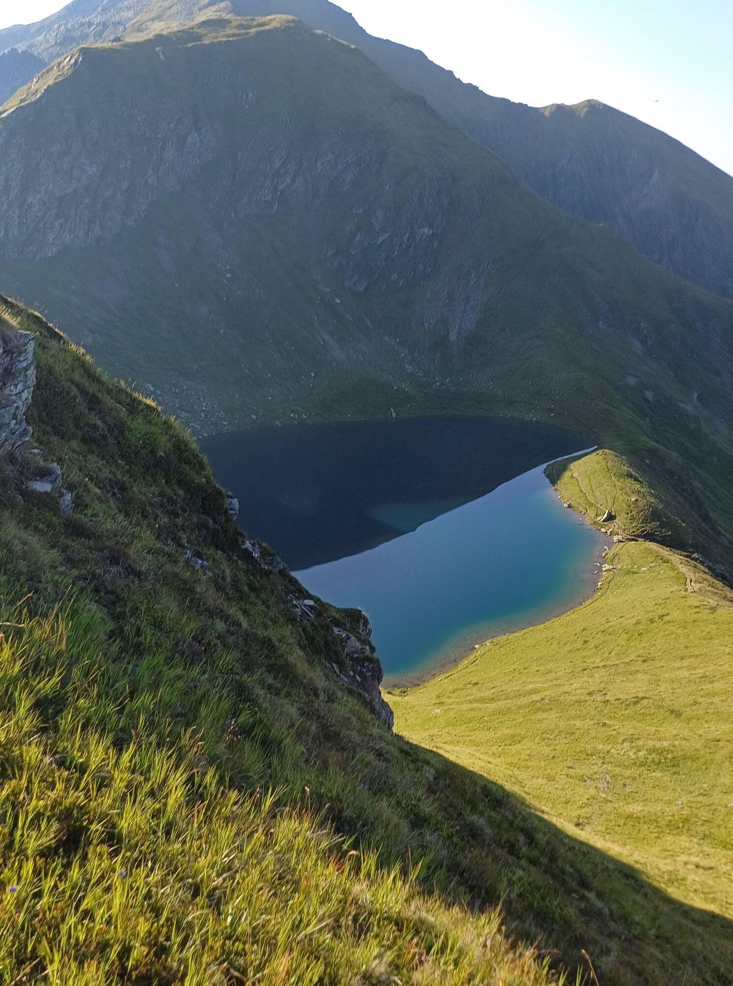
From the summit of the Große Gurpitscheck, you descend and follow the path further to the Schönalmsee. Here, another breathtaking scenery awaits before the trail continues downhill across alpine meadows and larch forests.
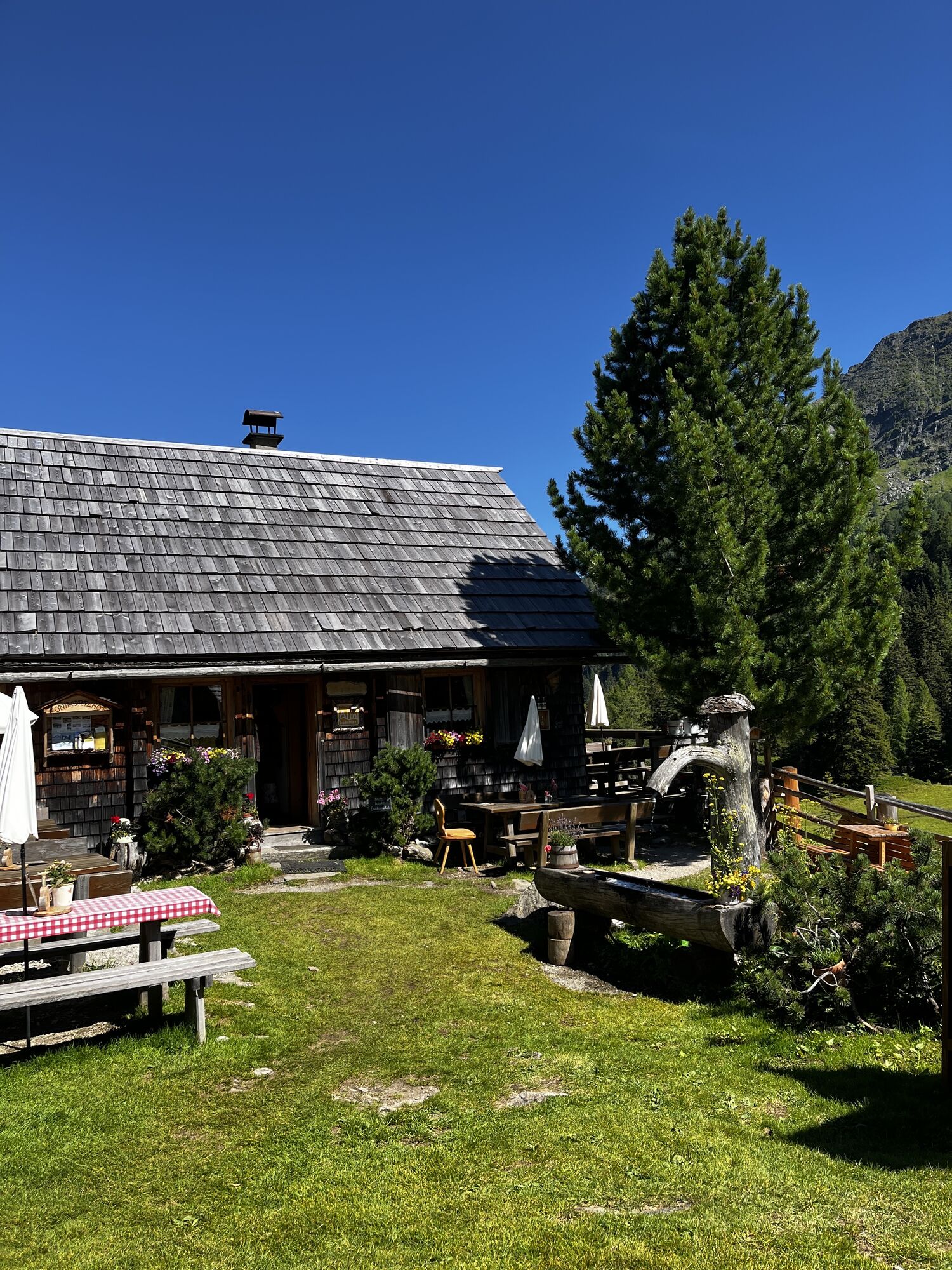
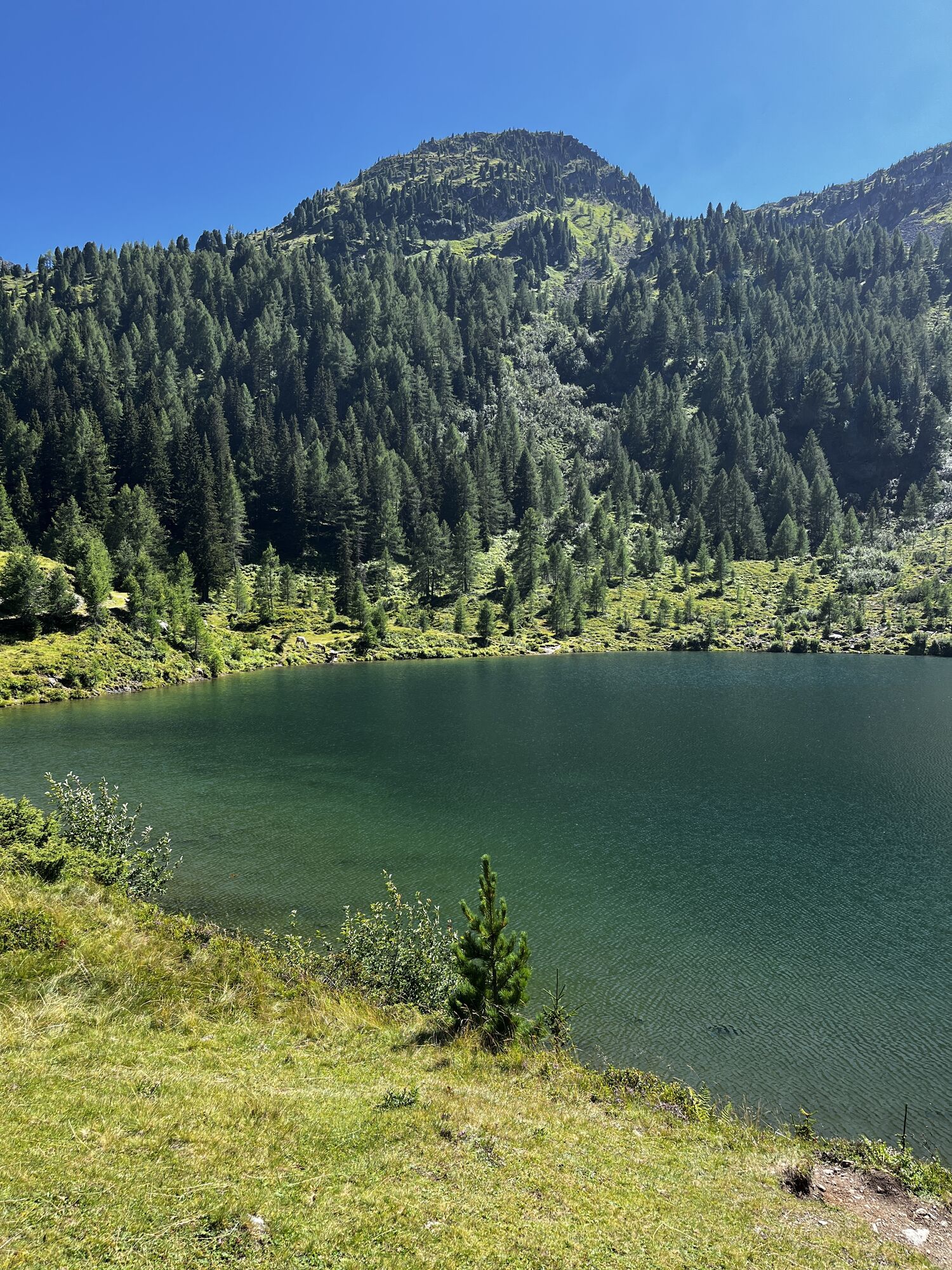
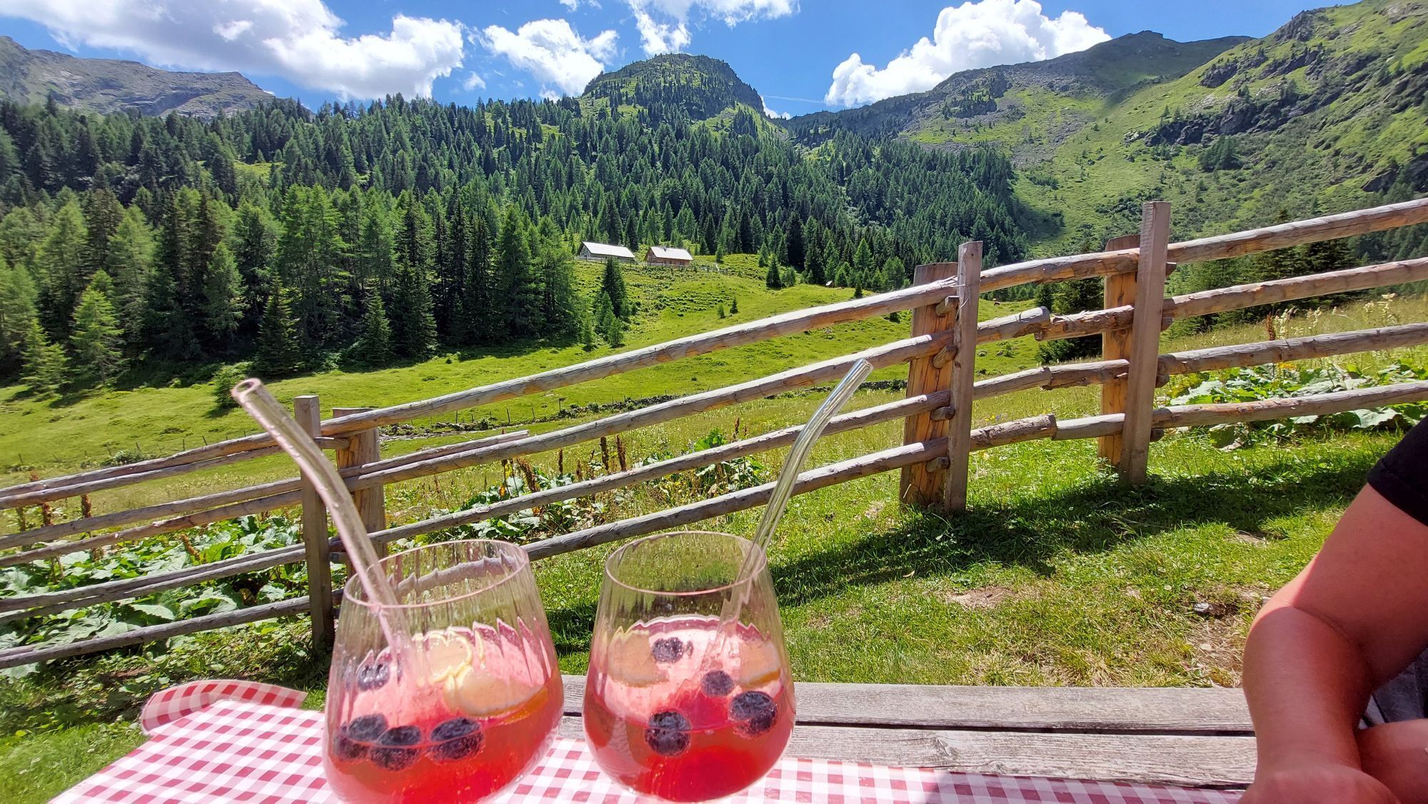
The route takes you past the Lacken, the Wirpitschsee, and the Tonimörtlhütte (ideal for a stop with traditional snacks), and finally further down into the Hintere Weißpriachtal, which enchants with its timeless tranquillity and scenic diversity.
Once you arrive in the valley, the trail leads past the serviced Granglerhütte. The tour ends at the car parks at the end of the valley, from where you can return during the summer months (July to early September) with the Tälerbus and public transport


Kamery internetowe z trasy
-
Plattenkar
-
Grünwaldkopf
-
Zehnerkar
-
Seekar
-
Sporthotel Snowwhite
-
Hotel Cinderella
-
Sonnenterasse Edelweissalm
-
Hotel Garni Gloria
-
Lürzeralm
-
Hotel Kesselspitze
-
Hotel Schneider
-
Breitlehenalm
-
Gamsleiten
-
Hochalmkopf
-
Obertauern - Haus Petergstamm
-
Seekarhaus - Obertauern
-
Seekarhaus - Bergstation Seekarspitzbahn
-
Seekarhaus 3
-
Schaidberg
-
Zehnerkar
-
Obertauern - Aparthotel Weninger Alm
-
Obertauern - Hundskogel
-
Obertauern - Gamsleiten
-
Hotel “Der Sailer”
-
Gamsleiten
Uzyskaj wgląd
Zawsze na żywo z ponad 9 500 kamer internetowych. bergfex Jako użytkownik Pro, możesz teraz zobaczyć odpowiednie kamery internetowe dla wielu wycieczek w aplikacji wycieczki od. Pozwala to na bezpośredni podgląd aktualnych warunków.
Aktywności na trasie
-

Twenger Almsee, Gollitschspitze und grosses Gurpitscheck
05.08.2026 – Wędrówka -
Tweng, Salzburg/Österreich
03.08.2026 – Wędrówka -

Tweng, Salzburg/Österreich
25.07.2026 – Wędrówka -
Tweng, Salzburg/Österreich
21.07.2026 – Wycieczka wysokogórska -
Weißpriach, Salzburg/Österreich
16.07.2026 – Wędrówka -

Weißpriach, Salzburg/Österreich
04.07.2026 – Wędrówka -
Tweng, Salzburg/Österreich
04.06.2026 – Wędrówka -

Tweng, Salzburg/Österreich
18.10.2025 – Wędrówka -
Tweng, Salzburg/Österreich
19.09.2025 – Wędrówka -

Tweng, Salzburg/Österreich
17.08.2025 – Wędrówka -

Großes Gurpitscheck
15.08.2025 – Wędrówka
Popularne wycieczki w okolicy
-
4,2
Landawirseehütte (1.985 m)
średniWędrówka 5,39 km -
4,8
Rundwanderweg von der Fallhausalm und Vögeialm übers Klamml zur Oberhütte am See
średniWędrówka 10 km -
5,0
4-Gipfel-Tour
średniWycieczki górskie 6,40 km -
4,7
Steirische und Lungauer Kalkspitze über das Kranzl
ciężkiWędrówka 11,2 km -
4,8
Obertauern to the Johannes Waterfall
średniWędrówka 9,39 km -
5,0
Twengsee
średniWędrówka 9,66 km -
5,0
Doggotour von Hochwurzen zur Ursprungsalm
ciężkiWędrówka 16,0 km -
4,7
Reiteralmrunde
światłoWędrówka 5,71 km -
4,6
Schladming - Hochgolling
ciężkiWędrówka 20,6 km -
4,5
Ursprungalm - Hochwurzen
średniWędrówka 9,37 km
Wędrówki i tropienie


Nie przegap ofert i inspiracji na następne wakacje
Twój adres e-mail została dodana do listy mailingowej.





