


Abtenau: Postalm alpine flower path

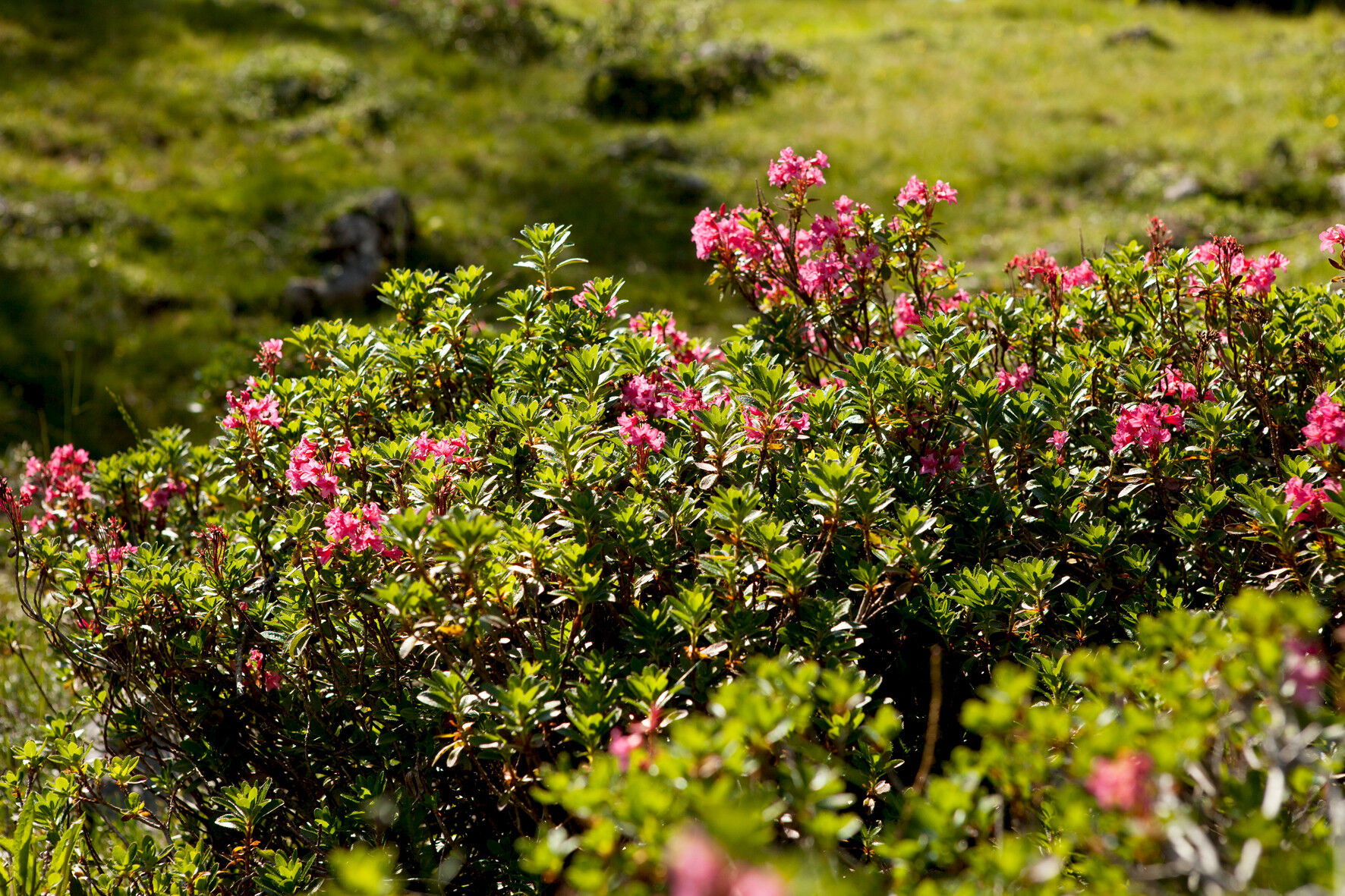
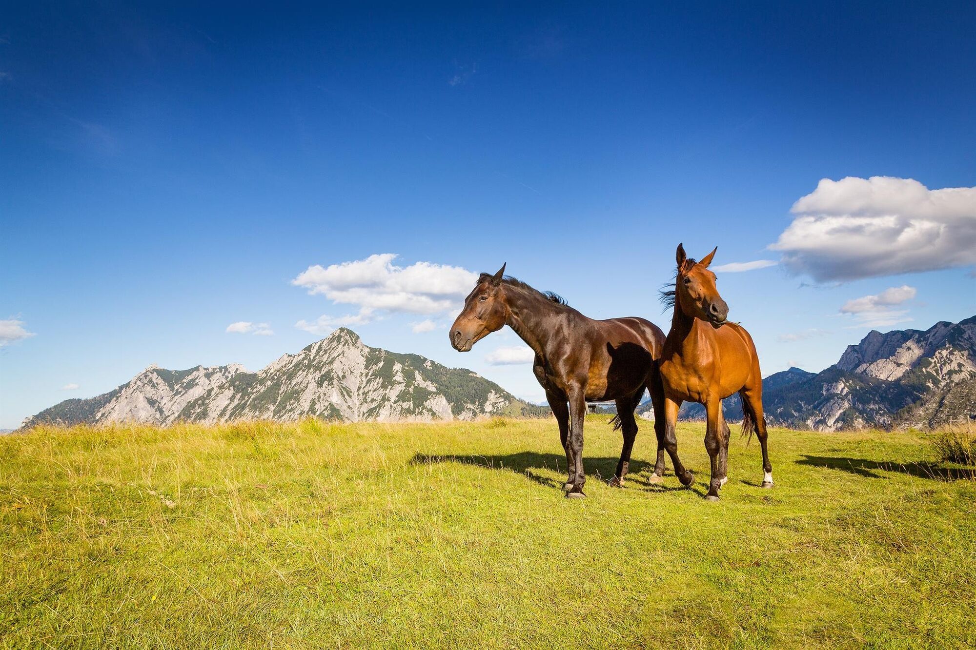
In the northern limestone Alps and the transition area to the Alpine foreland, an extremely large variety of flower species thrives. This is because the soil here consists of both calcareous and silicate-containing...
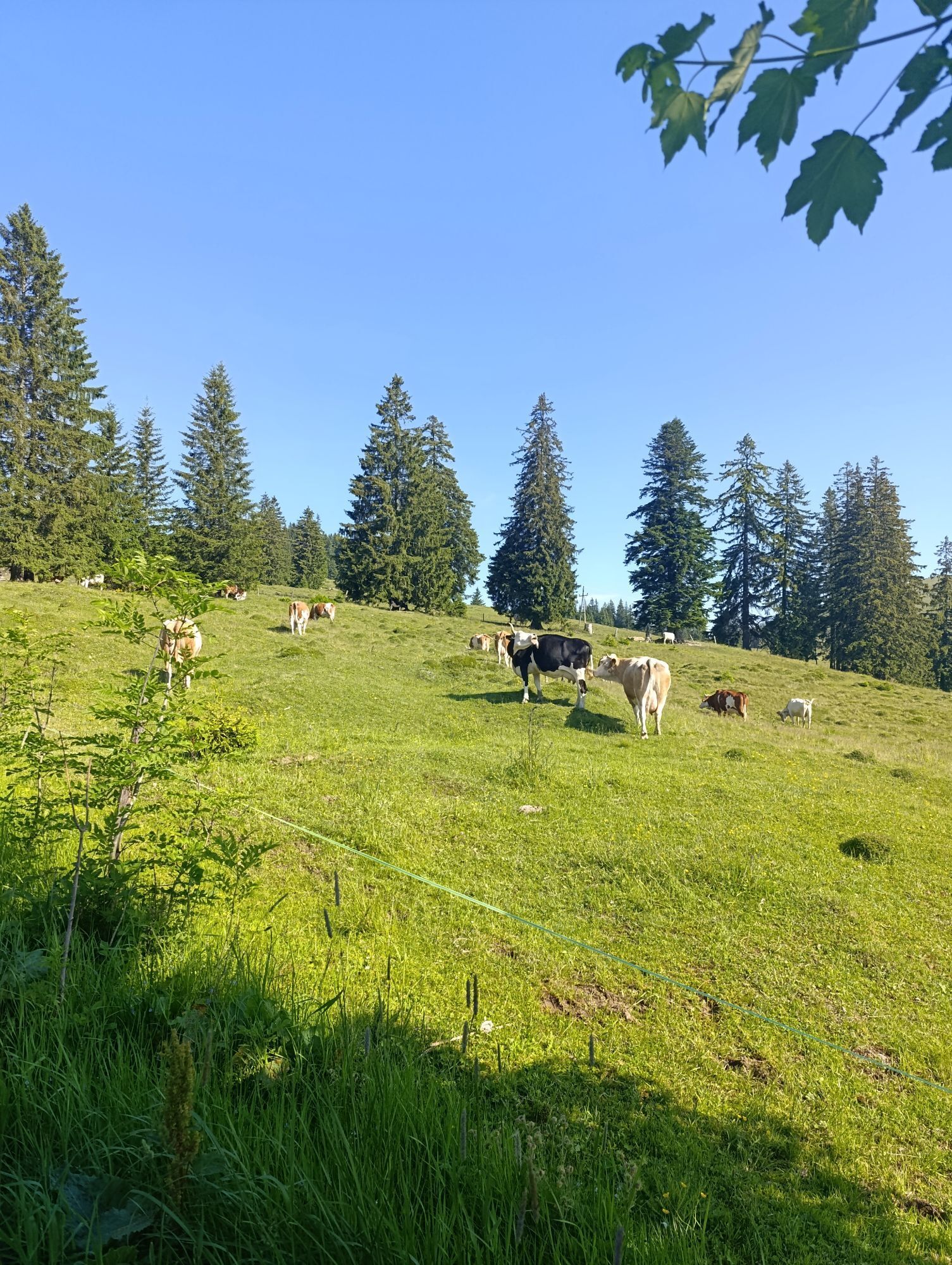
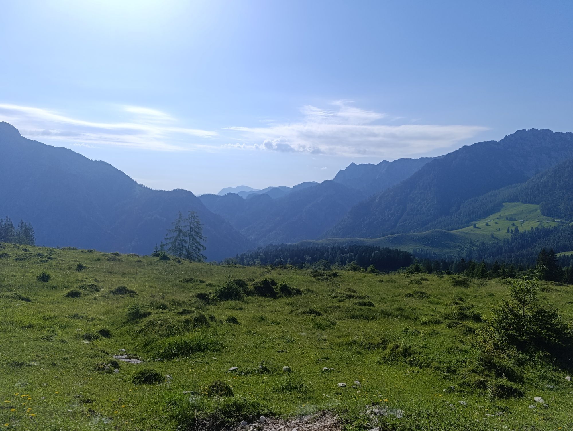
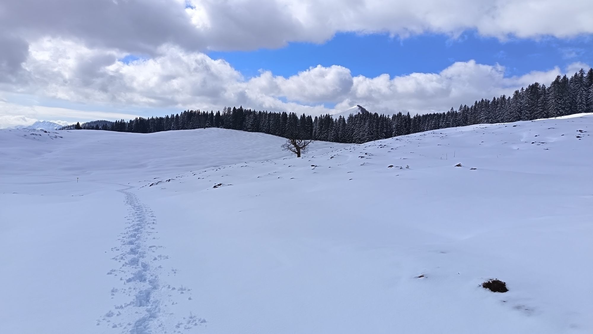
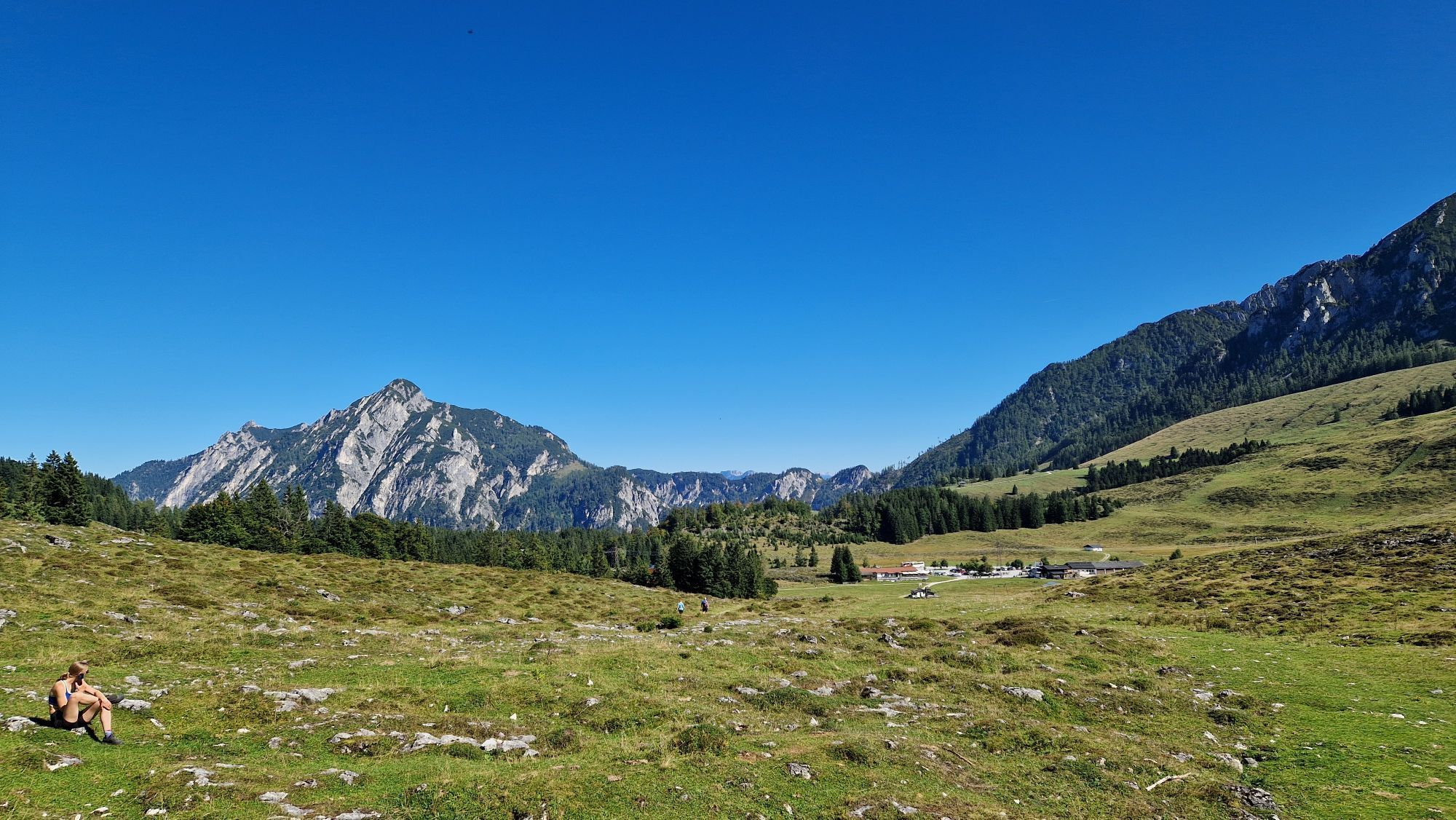
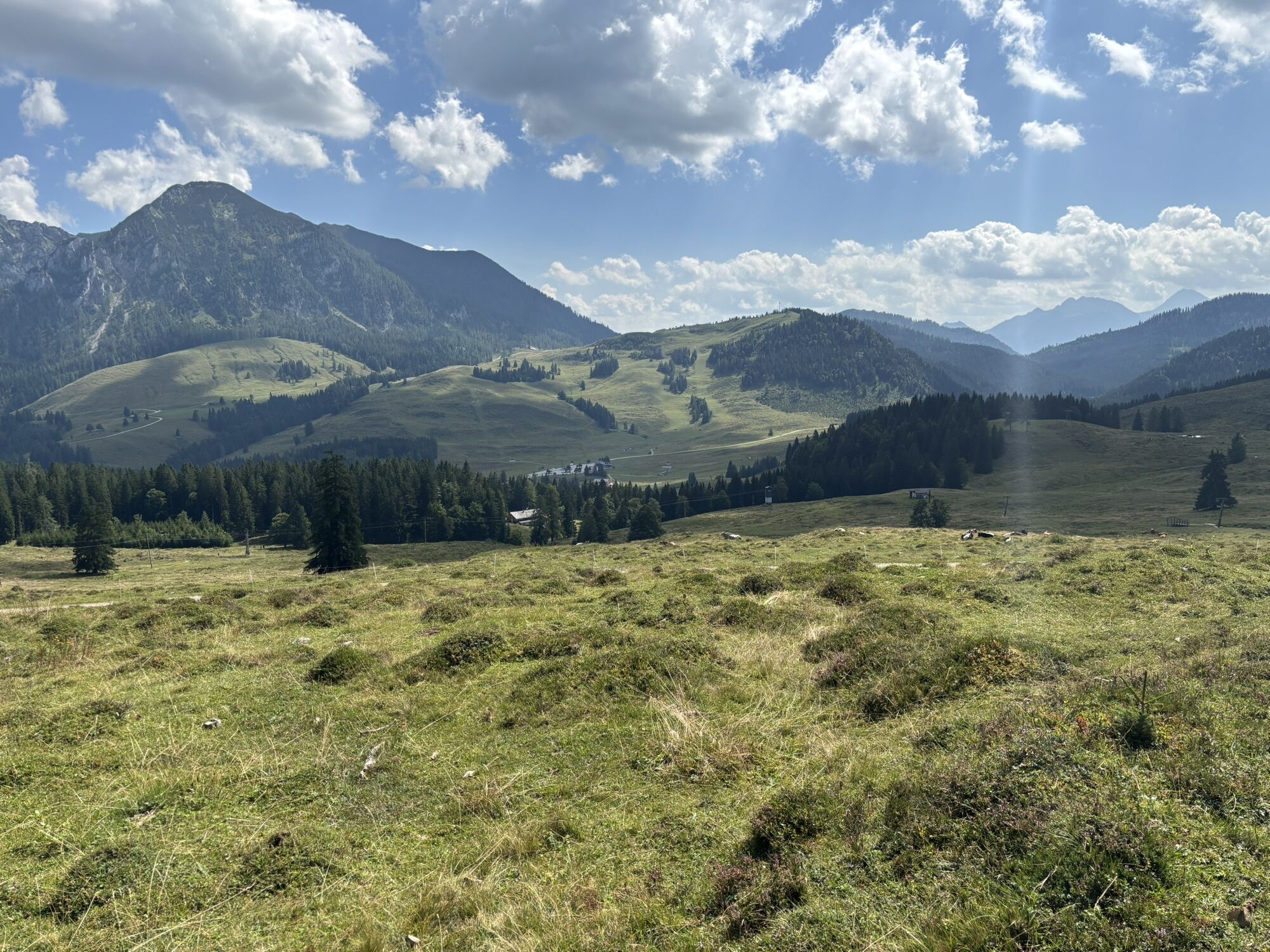
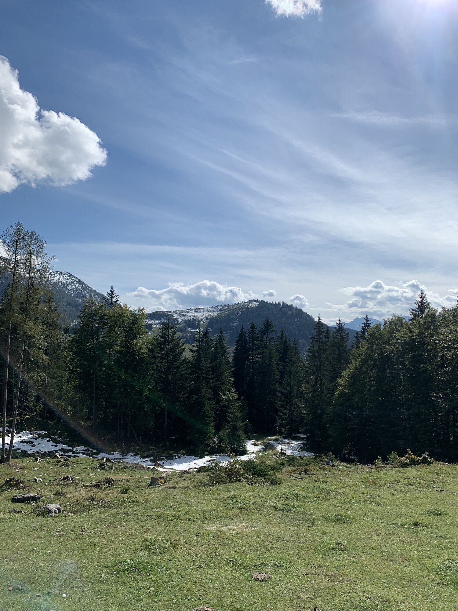
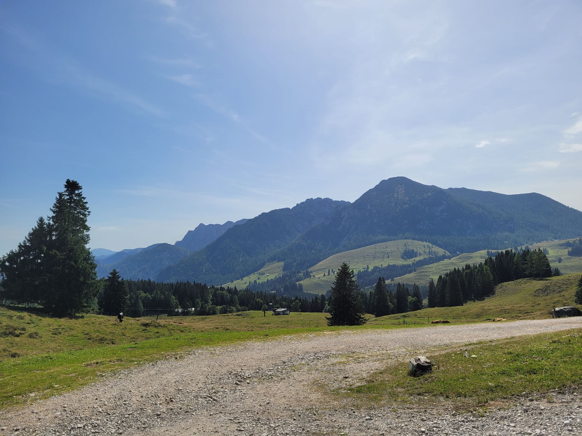
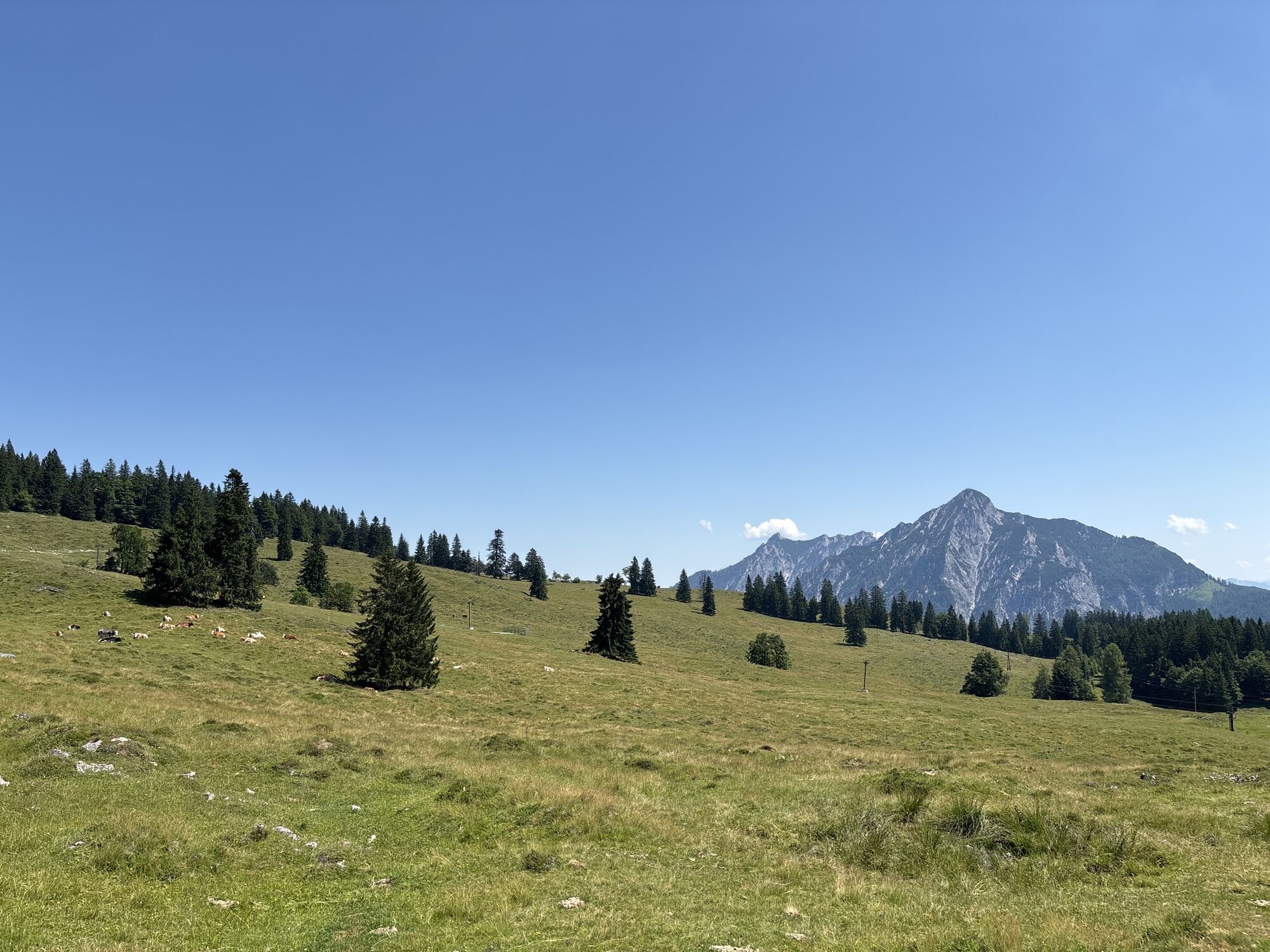
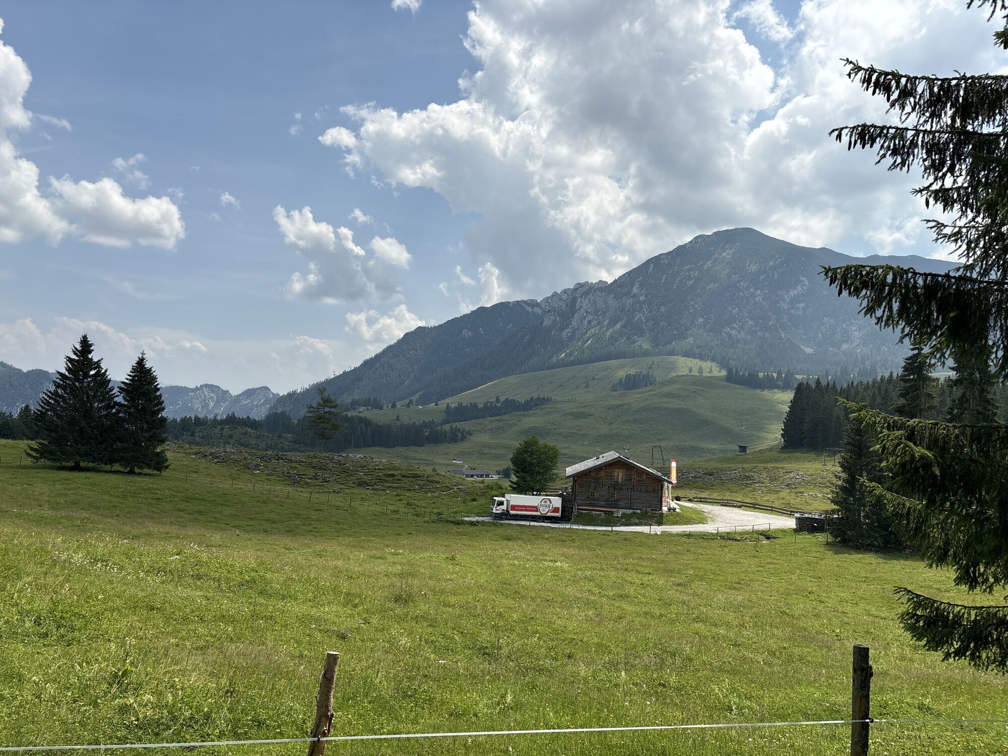
In the northern limestone Alps and the transition area to the Alpine foreland, an extremely large variety of flower species thrives. This is because the soil here consists of both calcareous and silicate-containing rocks. There is also a large variety of different orchids among them. The alpine flower path leads over the Postalm and you can observe the diversity of nature during a leisurely hike.

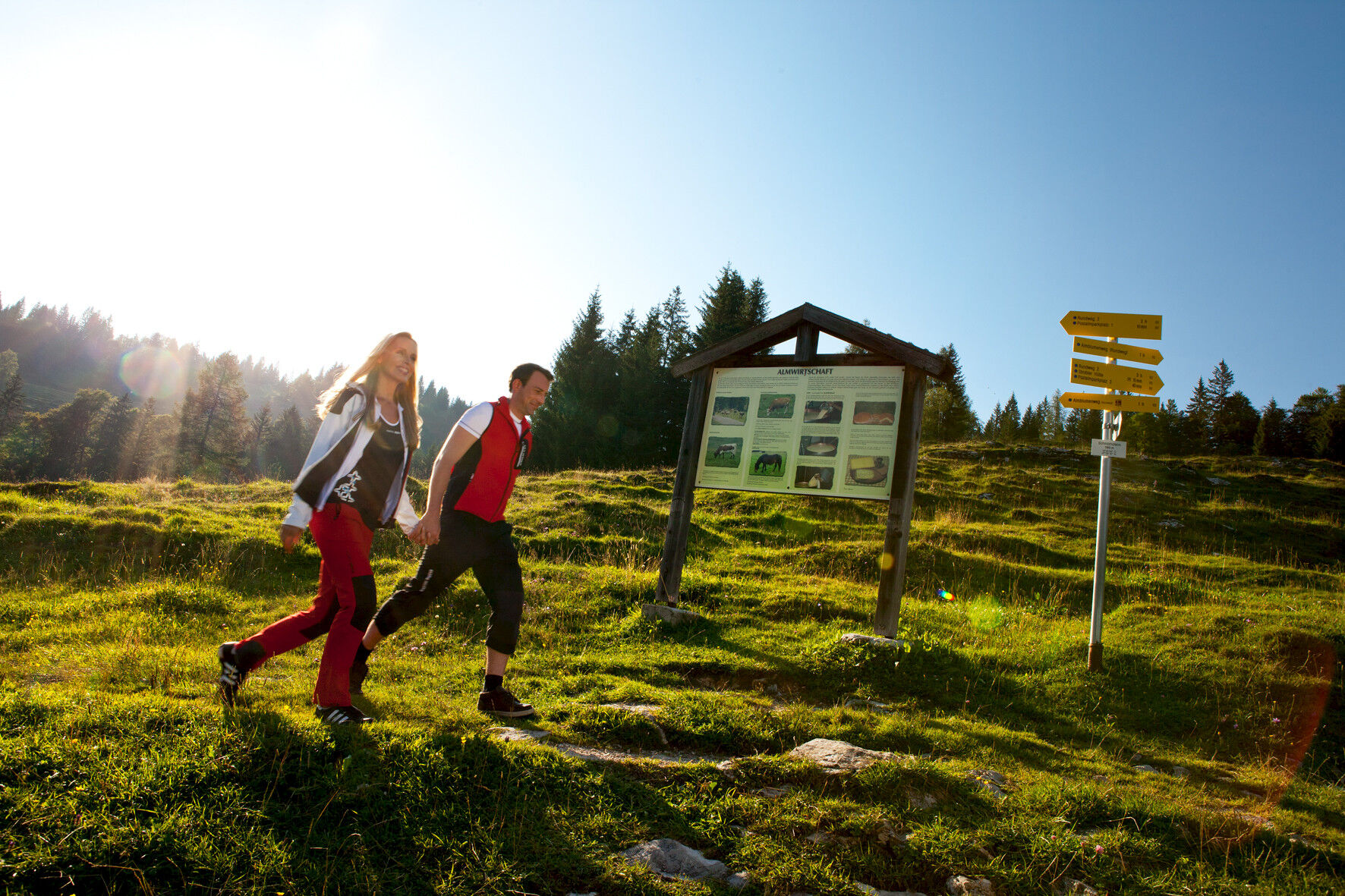
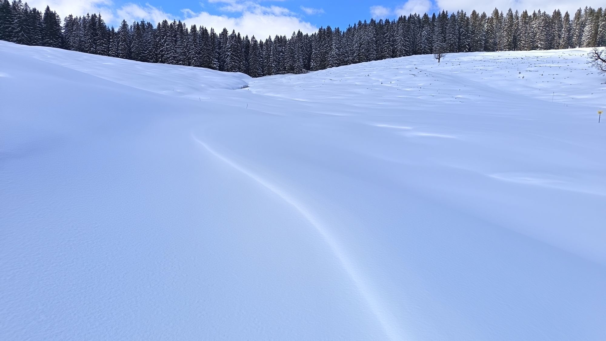
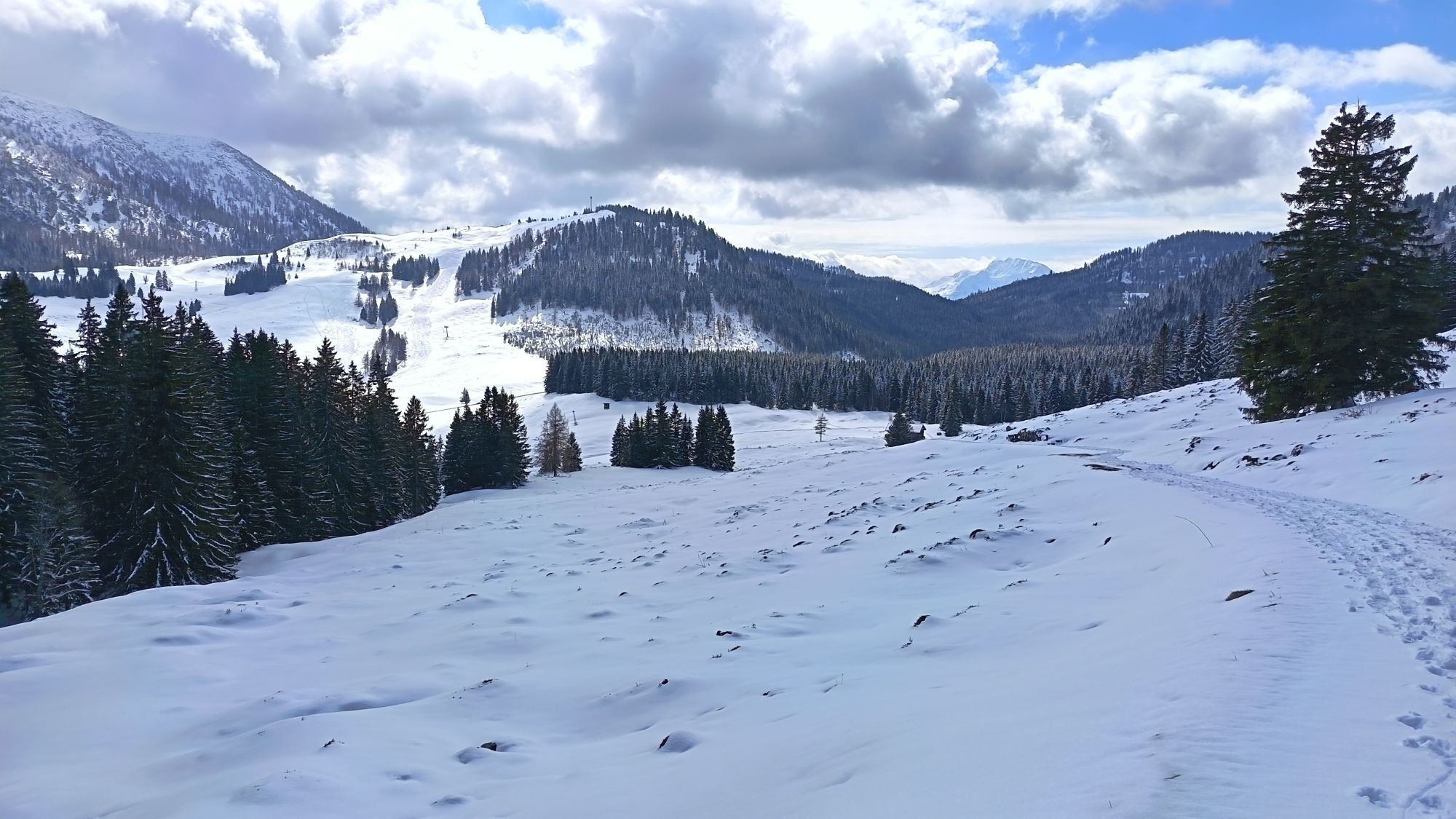
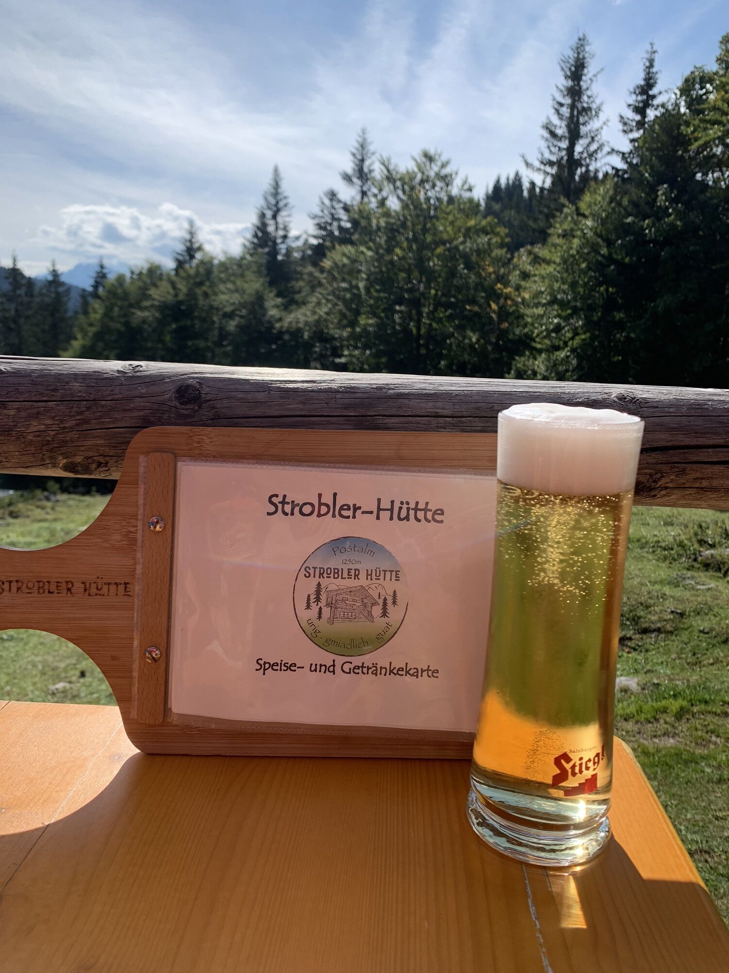
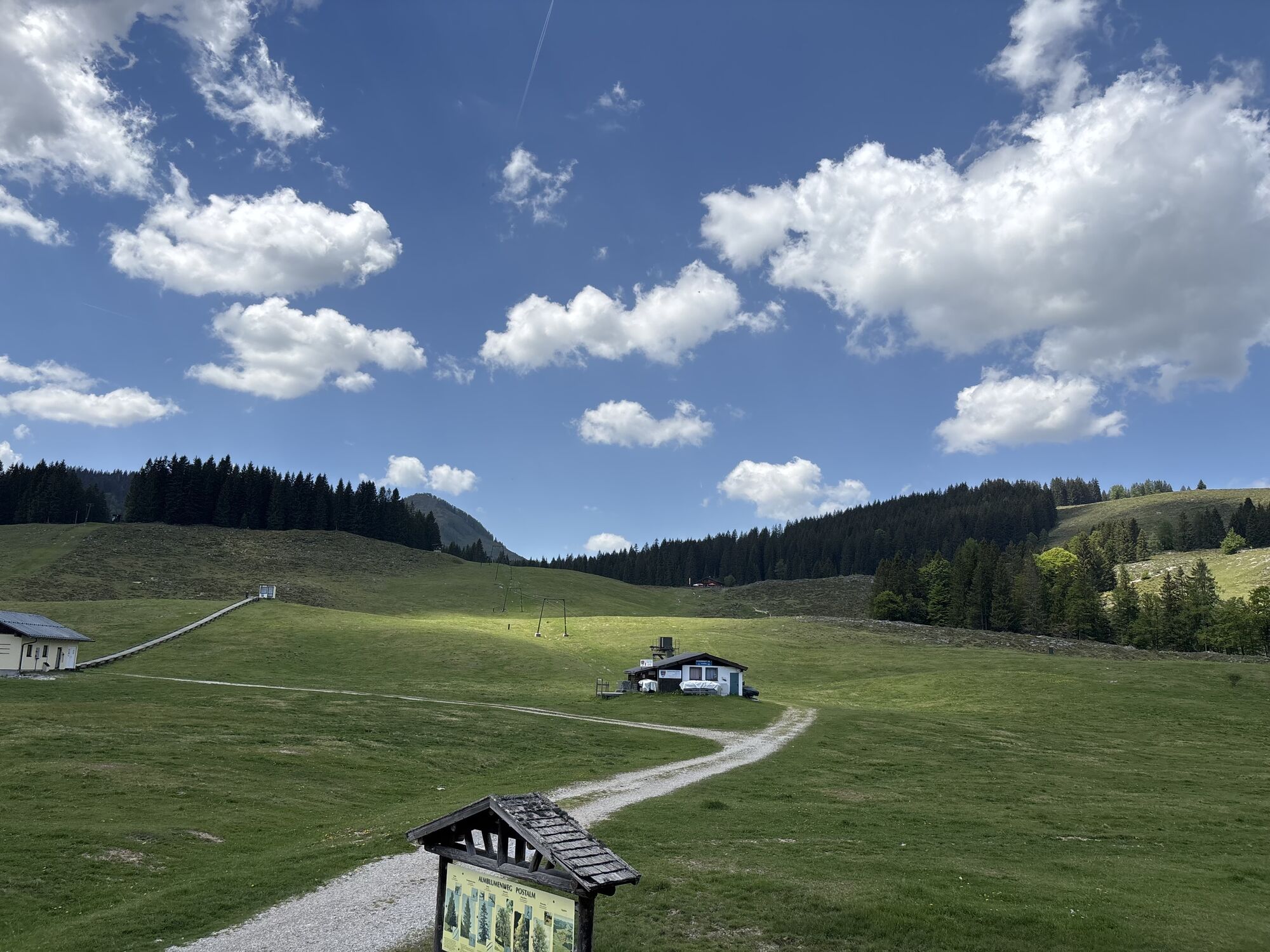
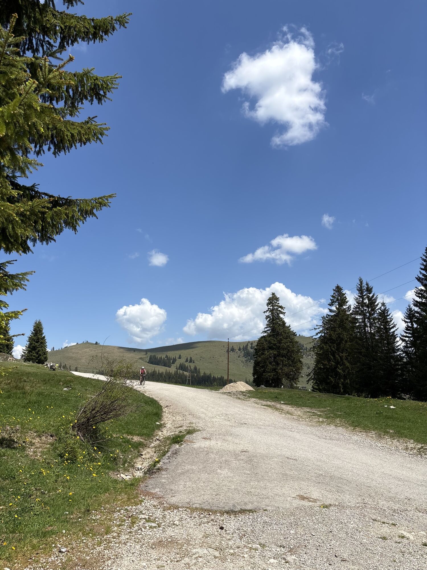
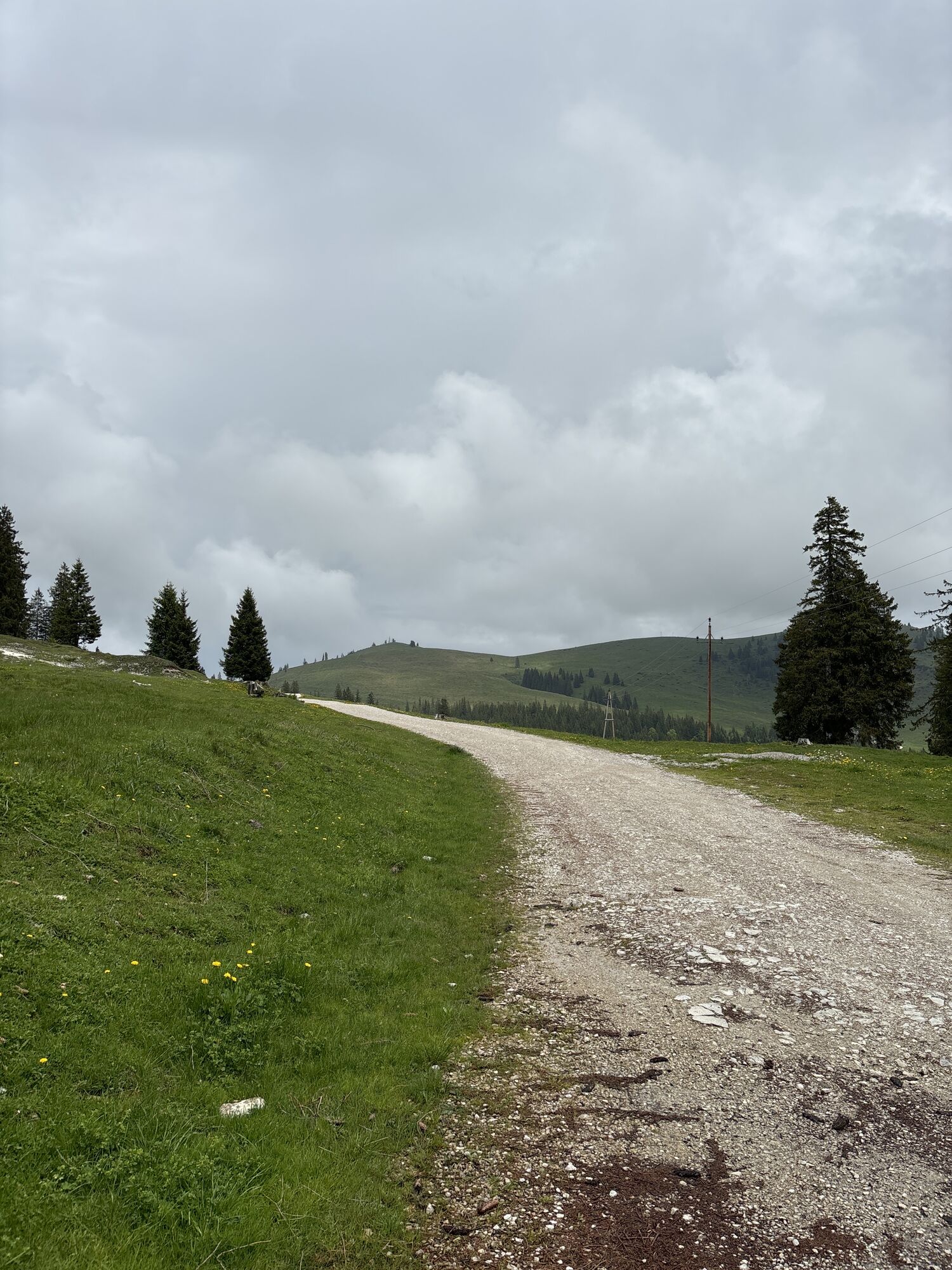
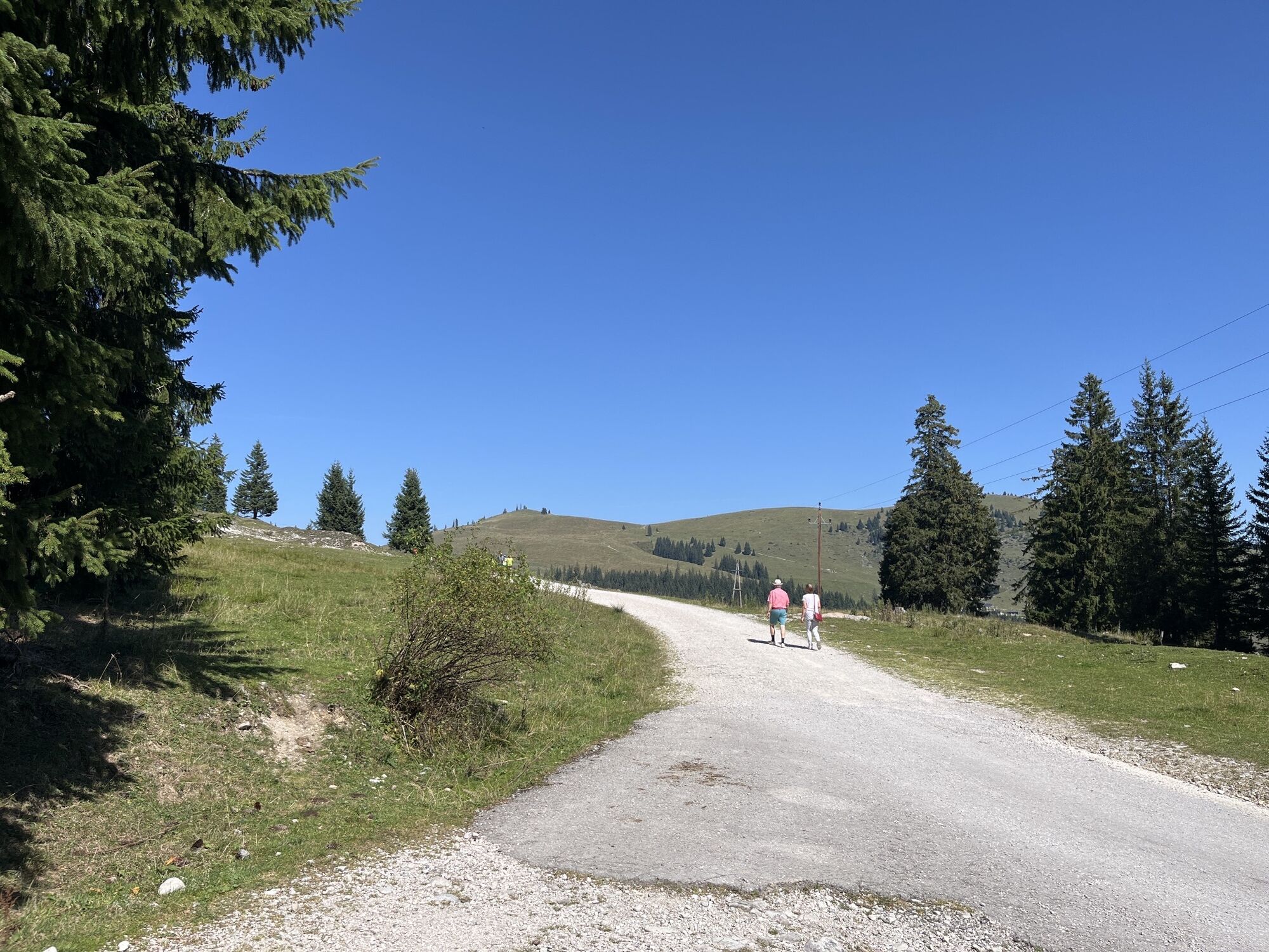
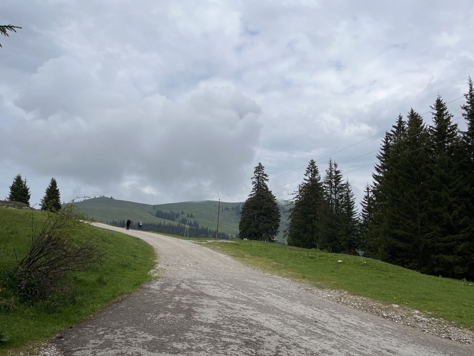
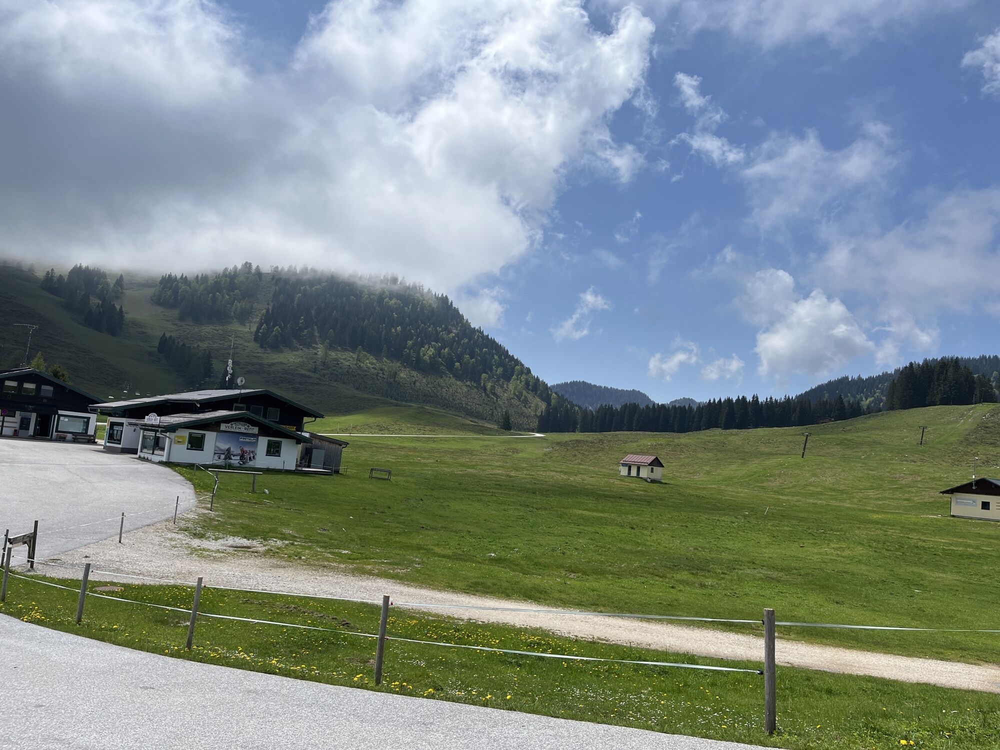
From the starting point (P1 - Lienbachhof parking lot), the path leads west to the Rosserhütte, which you reach after about 15 minutes. Then you go right past the hut onto the forest road and follow the road to the right. The alpine flower signs are distributed along the entire path. The forest road passes by the "Strobler ski lift" towards parking lot 3. Shortly before that, after a total of about 2.5 kilometers, you reach the highest point of the hike. There you turn right and follow the hiking trail towards Stroblerhütte. From here, follow the forest path until you reach the alpine cheese dairy Schnitzhofhütte again. Now follow the signs to parking lot 1. The circular hiking trail is easy to walk and beautifully integrated into the landscape.
Tak
Suitable hiking clothing, hiking shoes, hiking poles are recommended
No special safety precautions necessary.
Coming from Abtenau/Voglau via the Postalm Panorama Road (toll road) to parking lot 1.
By Postbus to "Abtenau town center". From there, in the summer months every Tuesday and Thursday (in all weather conditions), you can take the Postbus to the beautiful alpine area "Postalm". Free travel with the Tennengau+ Card, excluding toll.
Parking lot 1 (Lienbachhof).
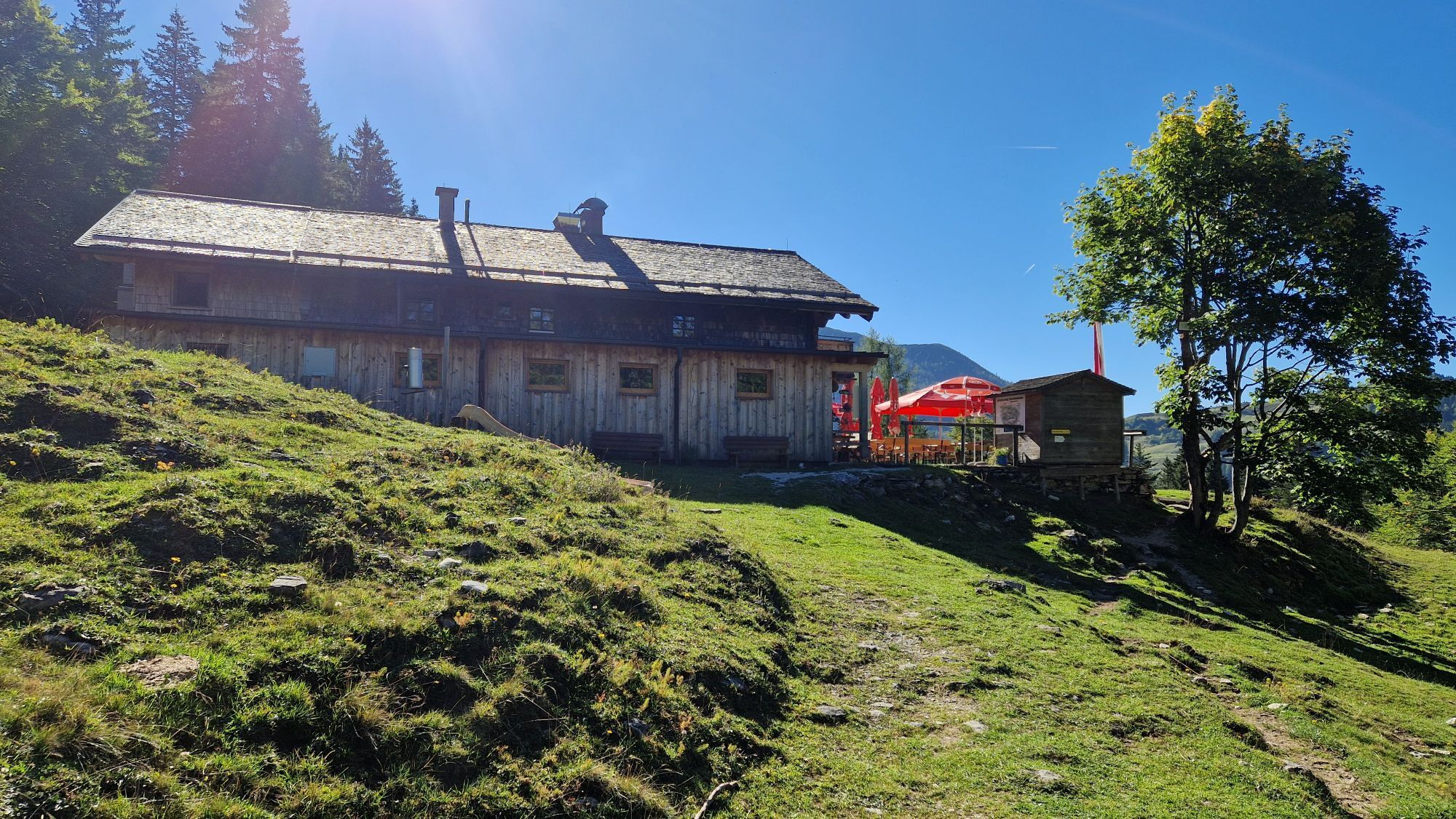
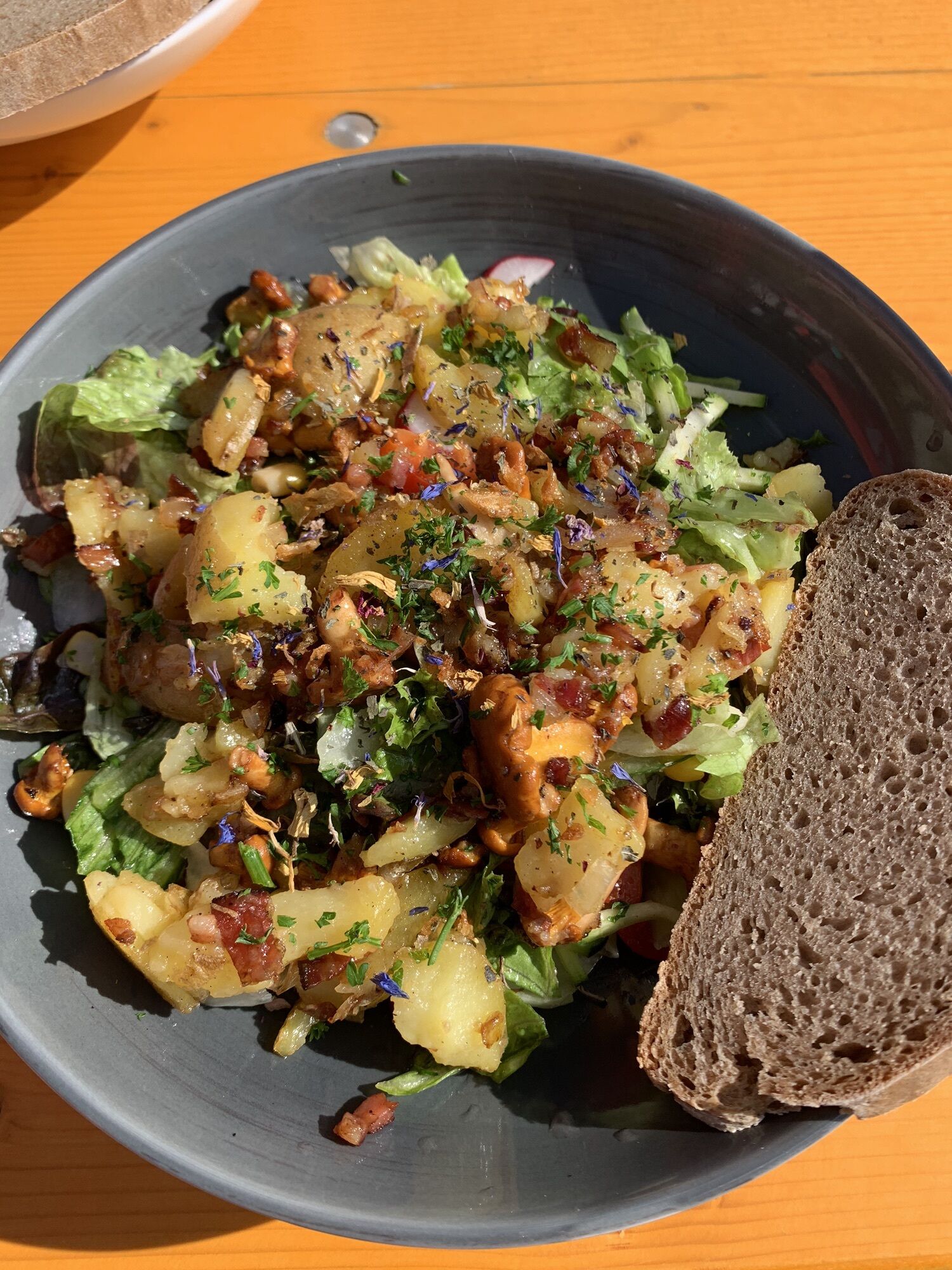
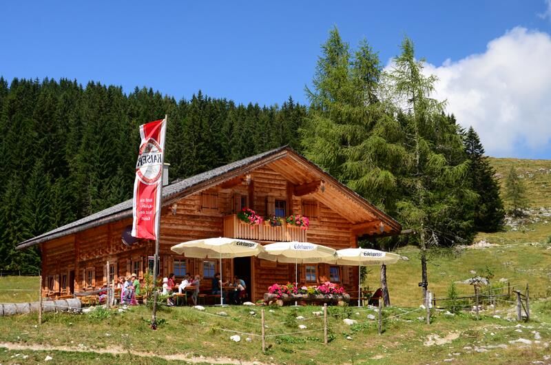
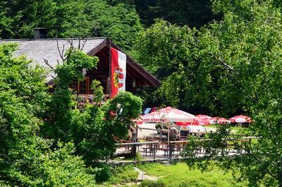
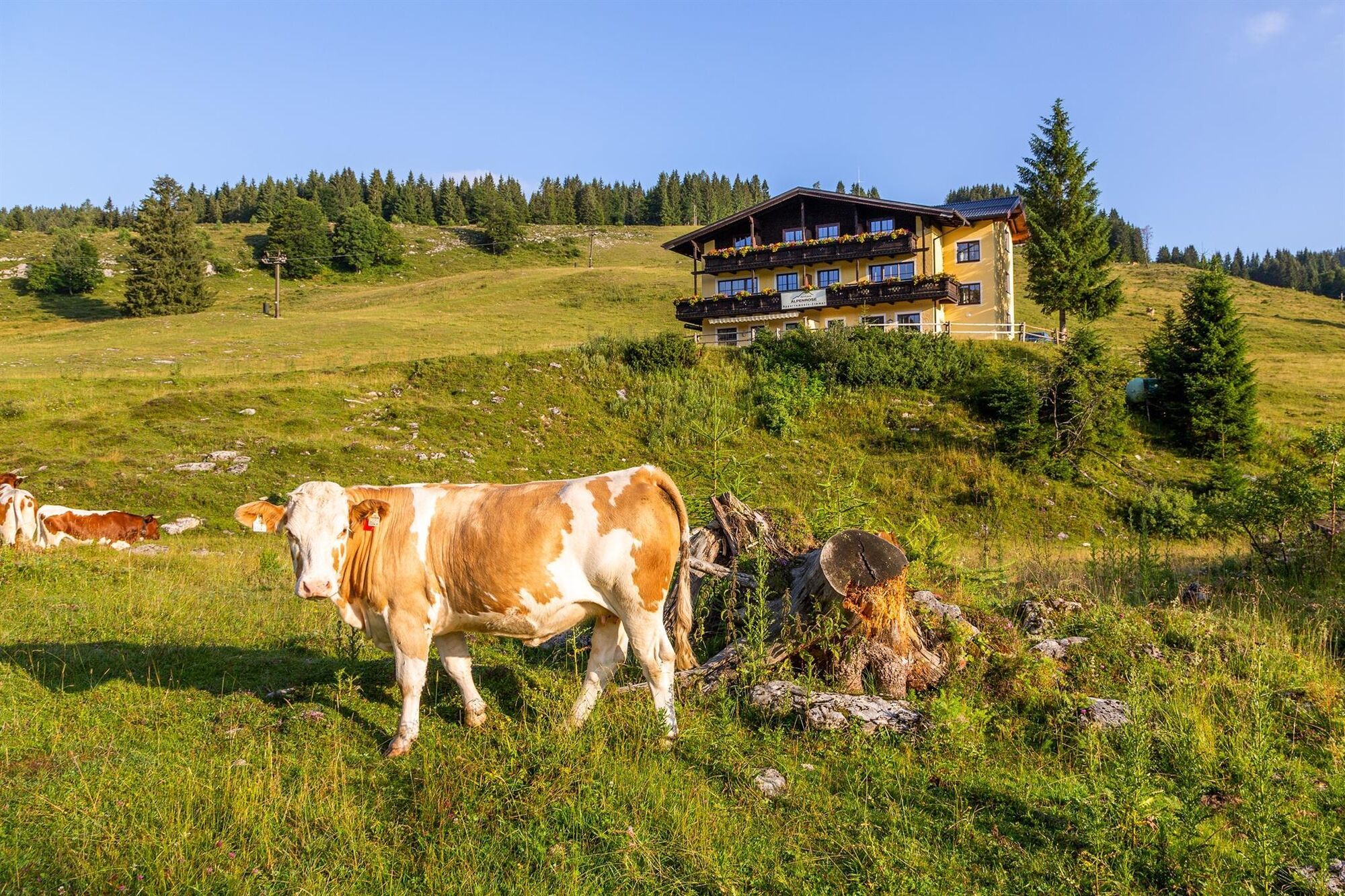
There are many "rustic" dining options in the managed huts of Postalm.
"Flower paradise Postalm" - the flower guide includes 89 species of different alpine flowers and is available at the Abtenau Tourist Association.
Popularne wycieczki w okolicy
- 4,2
Pillstein Panorama Rundweg
światłoWędrówka 3,40 km - 4,7
Pleasure hike over the Falkenstein
średniWędrówka 9,81 km - 4,5
The Plombergstein: Adventure and summit panorama
światłoWędrówka 4,12 km - 4,9
Schwarzeneckalm-Bleckwand
światłoWędrówka 5,94 km - 4,8
Eisenaualm
średniMountainbike 37 km - 4,8
Schafberg ab Winkl nahe Sankt Gilgen, Österreich
średniTrailrunning 6,12 km - 4,1
Illinger Alm-Runde
średniWędrówka 9,89 km - 4,8
Von St. Gilgen aufs Zwölferhorn
średniWędrówka 10,4 km - 4,8
Gennerhorn über Lämmerbach
średniWędrówka 10,2 km - 4,7
Schafberg
średniWędrówka 6,85 km
Wędrówki i tropienie


Nie przegap ofert i inspiracji na następne wakacje
Twój adres e-mail została dodana do listy mailingowej.