



711 | Wüstlau - Krefelderhütte



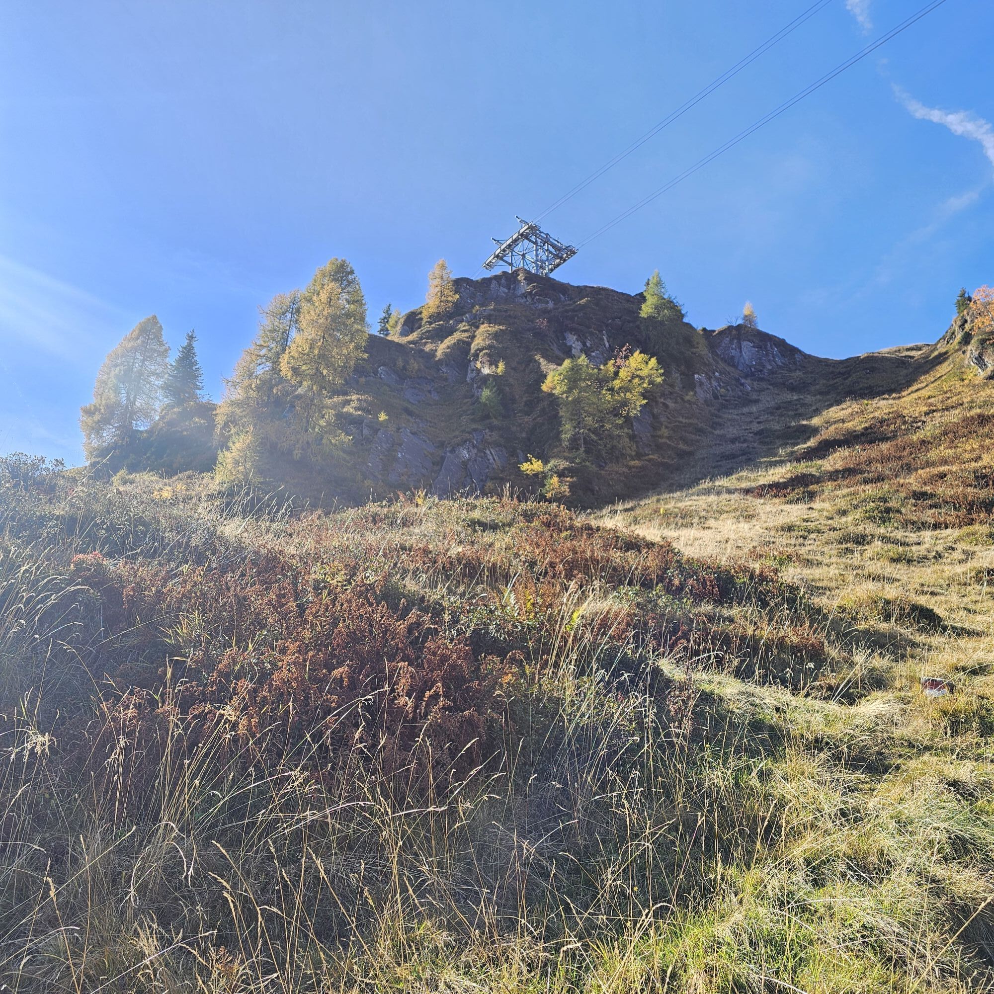
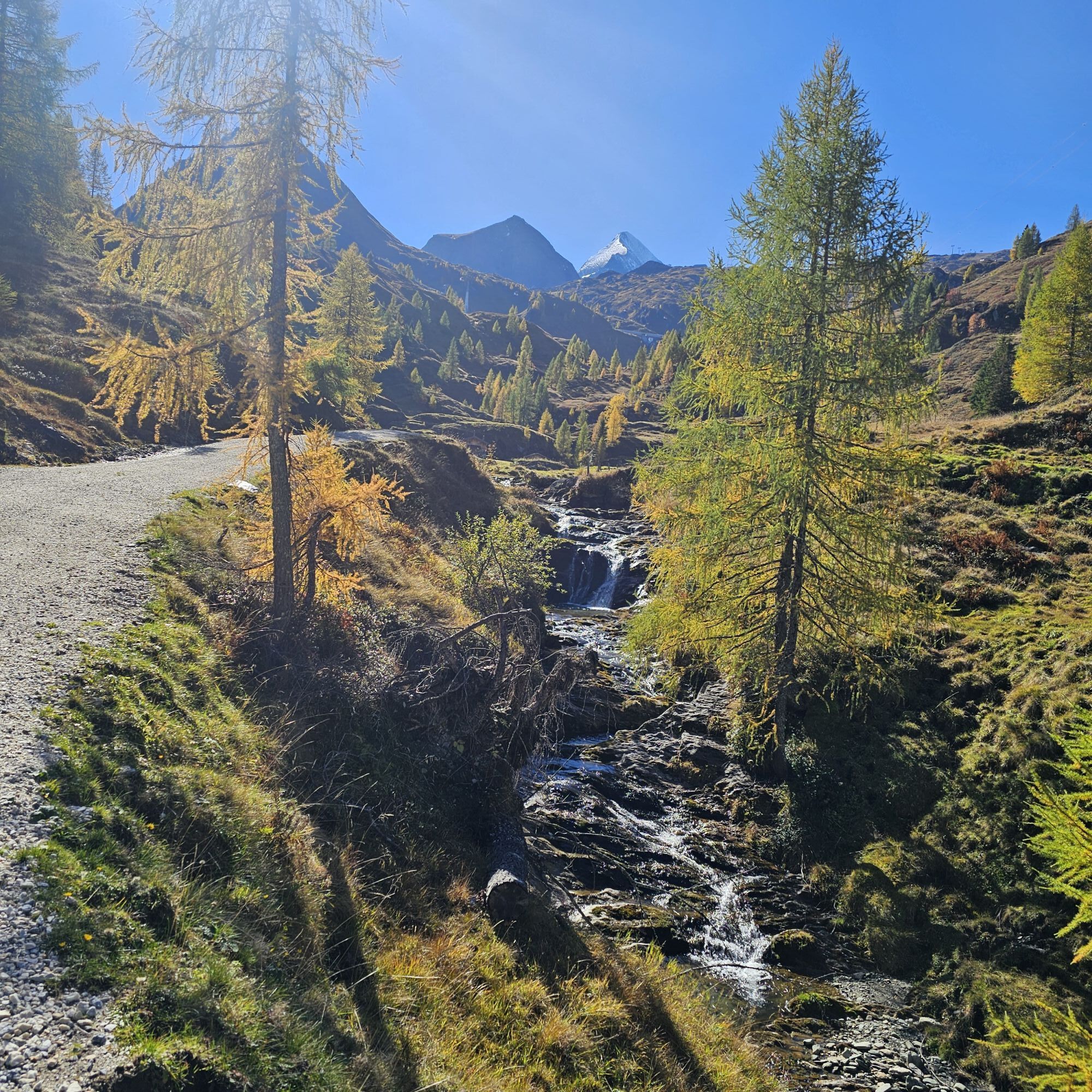
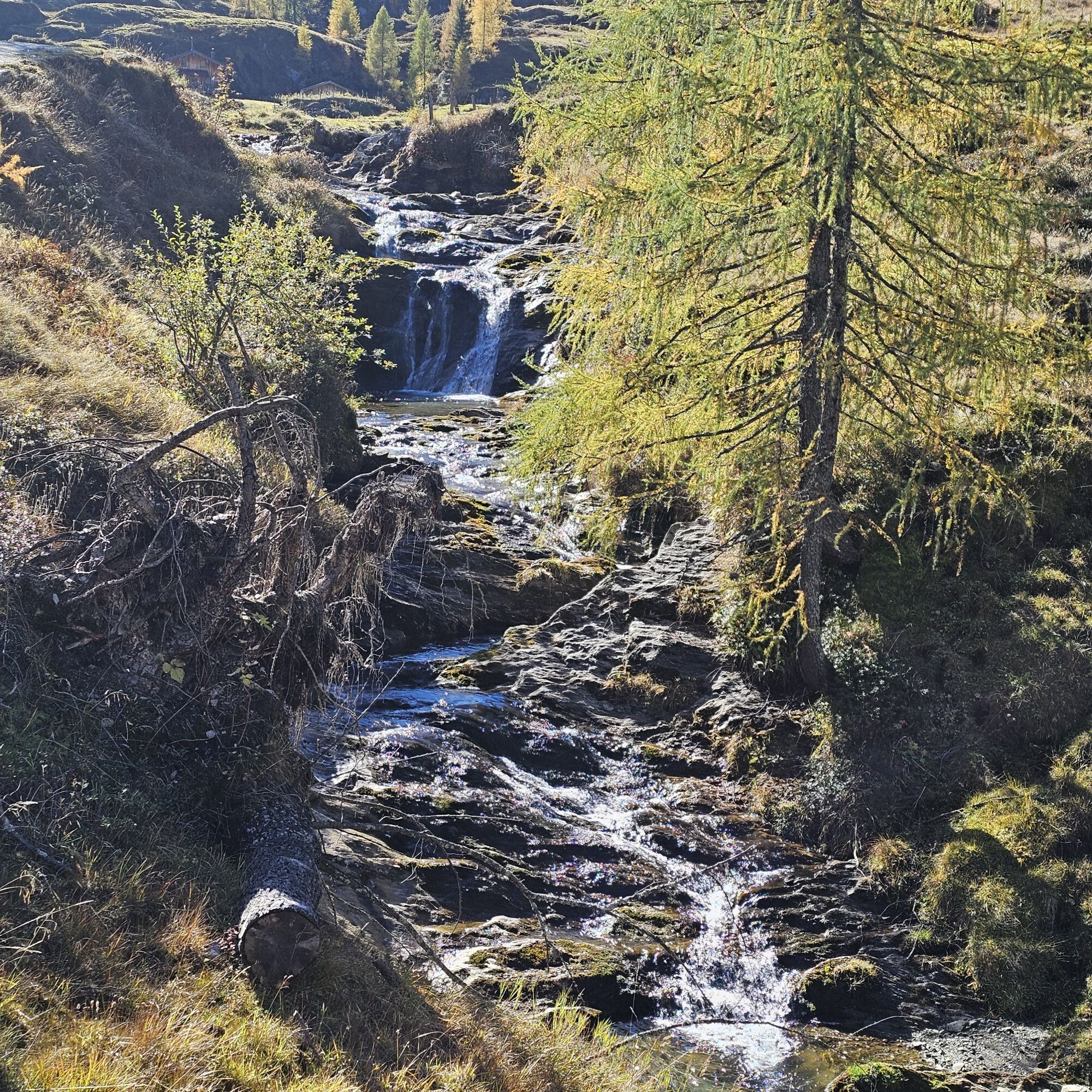
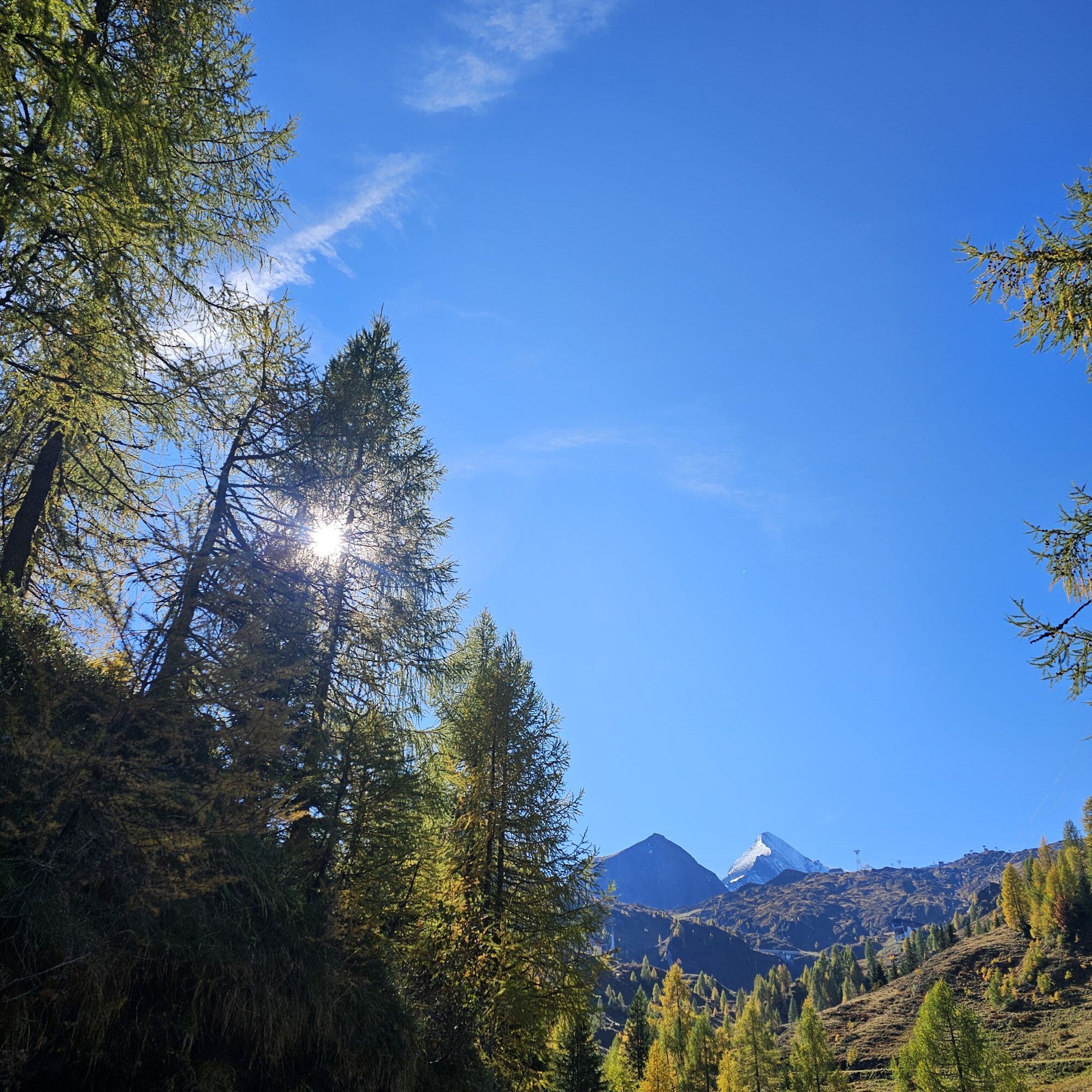
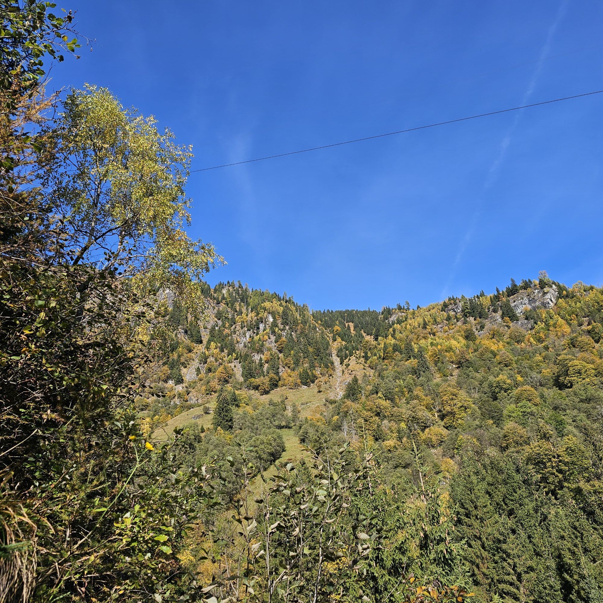
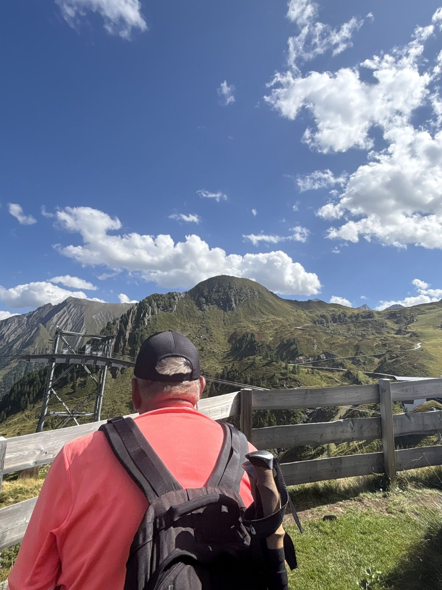
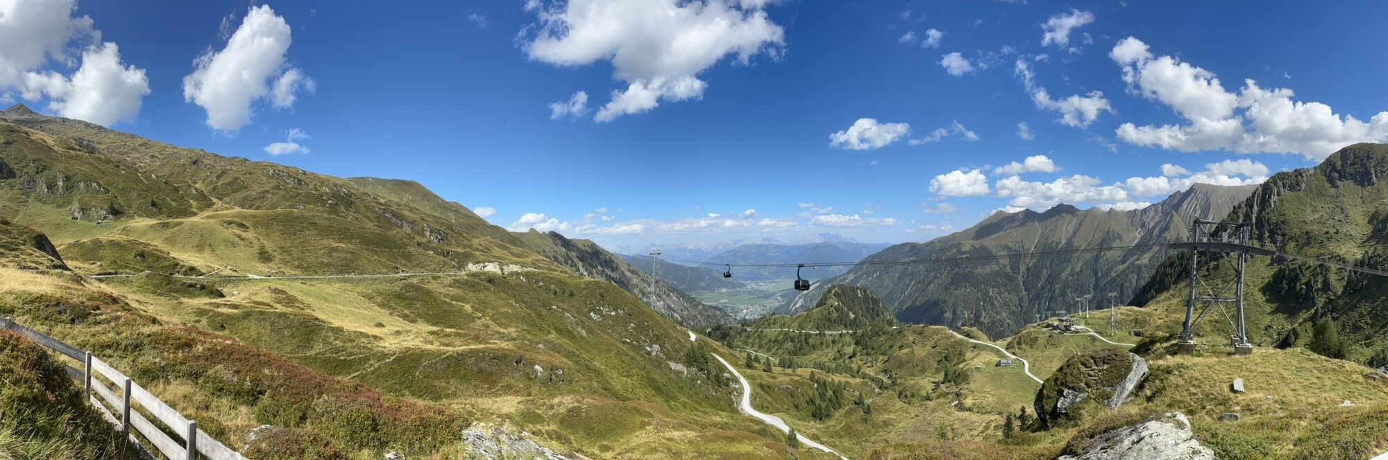
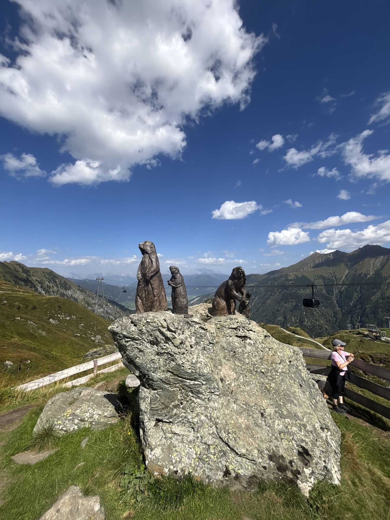
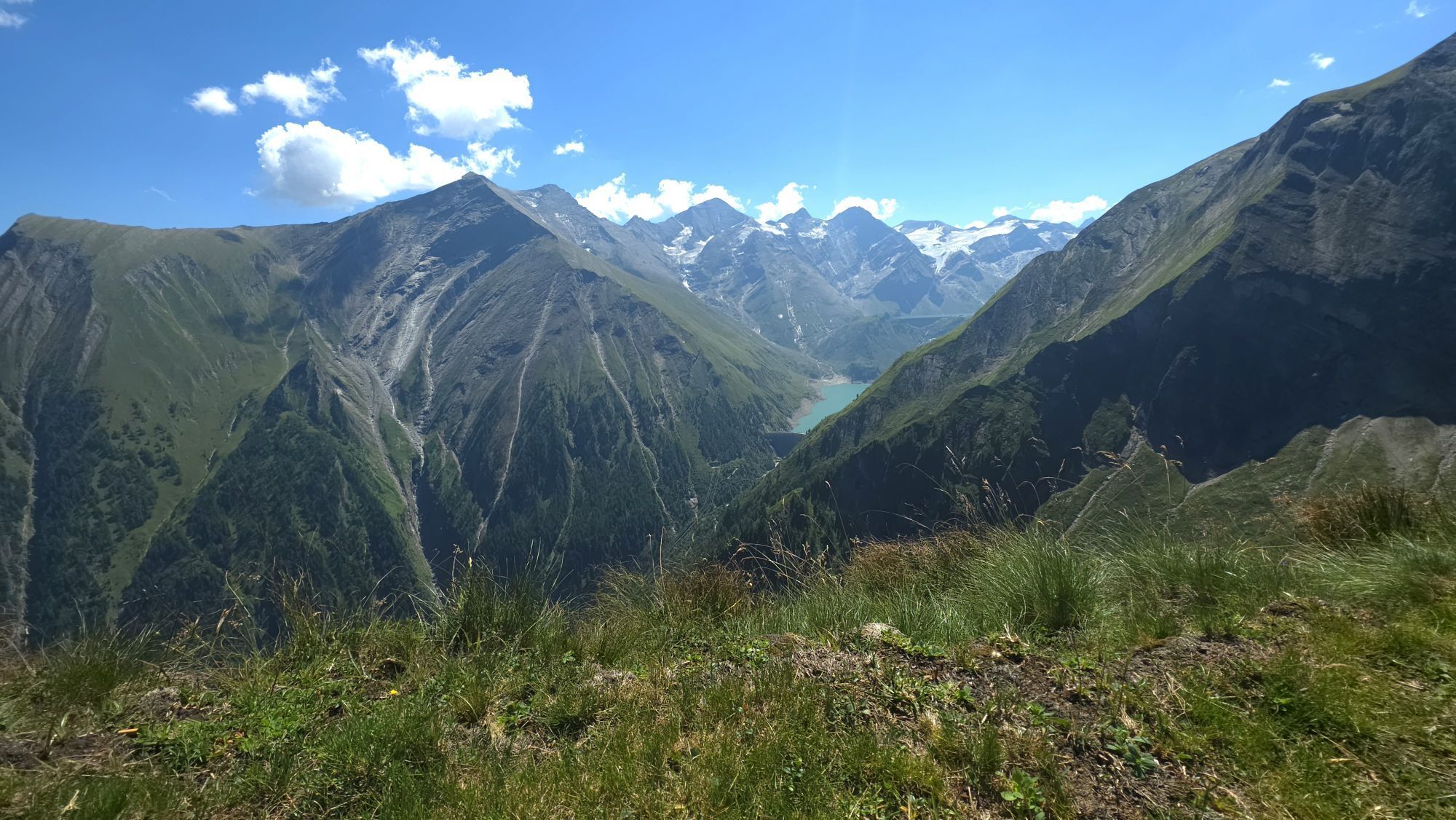
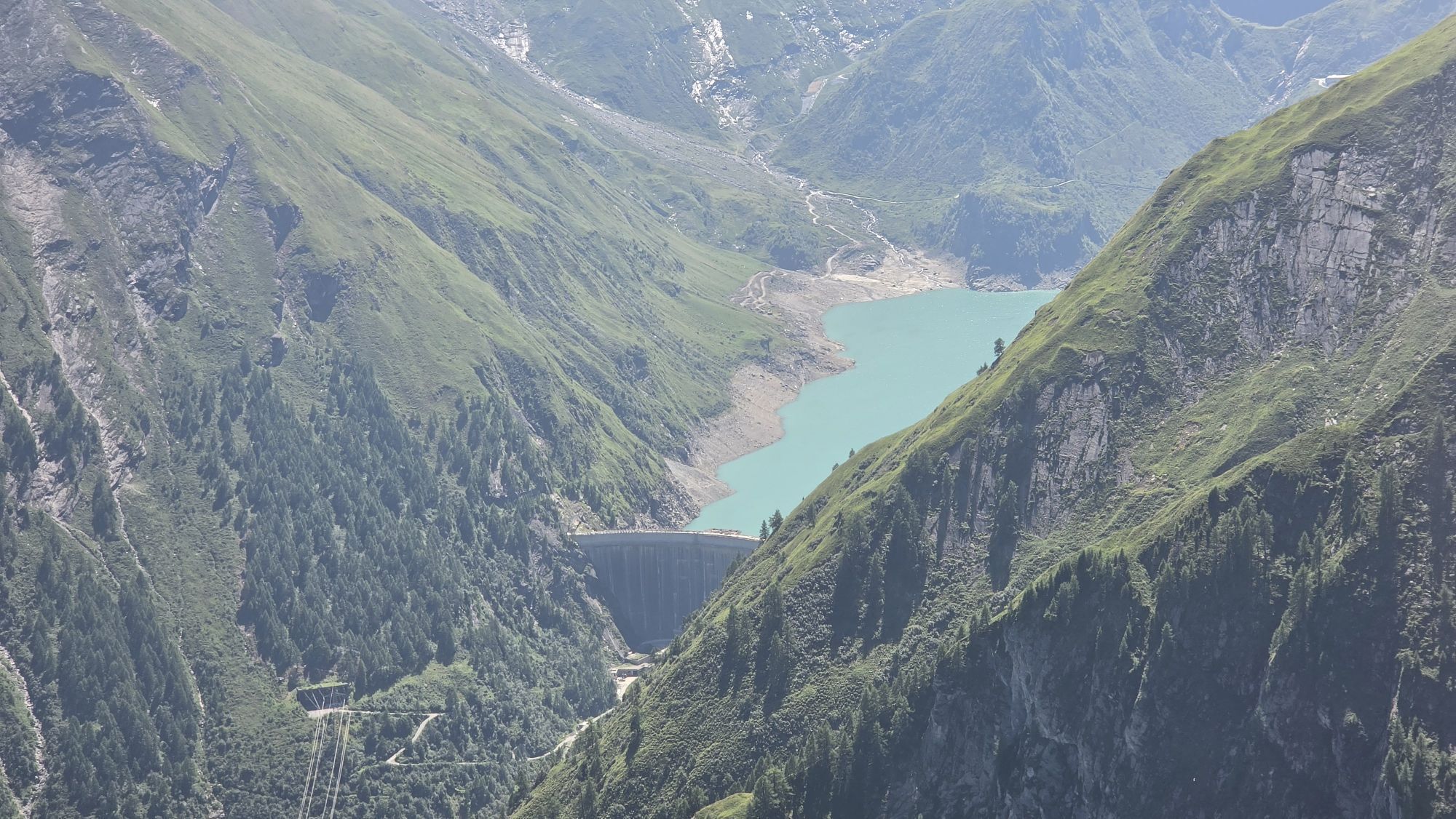
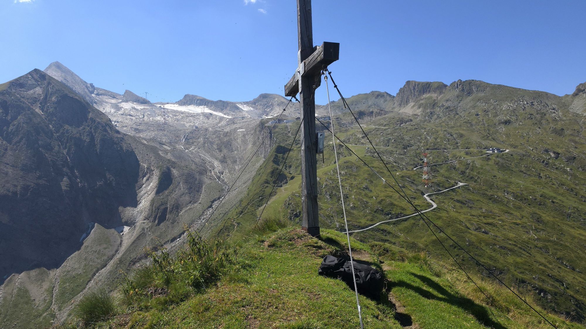


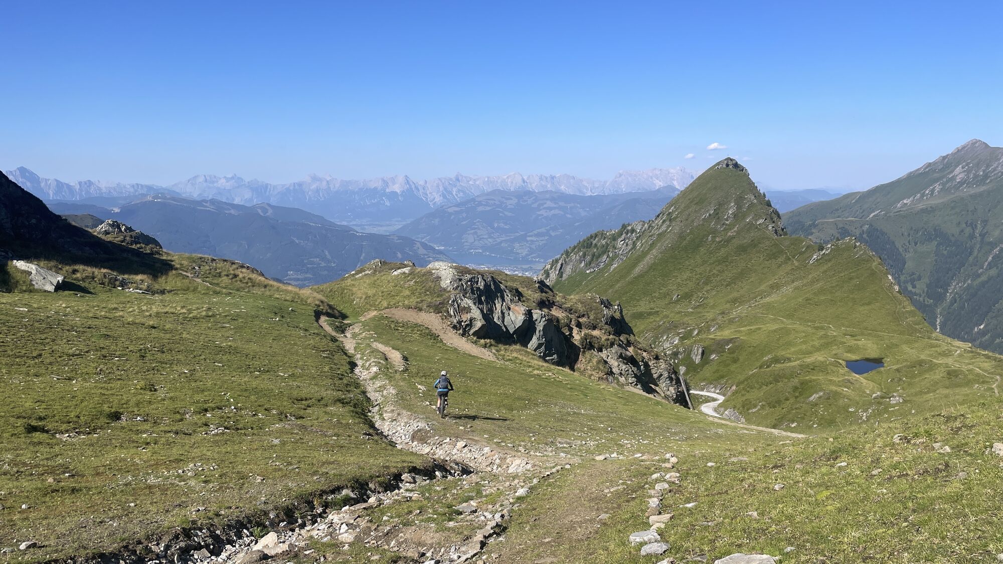
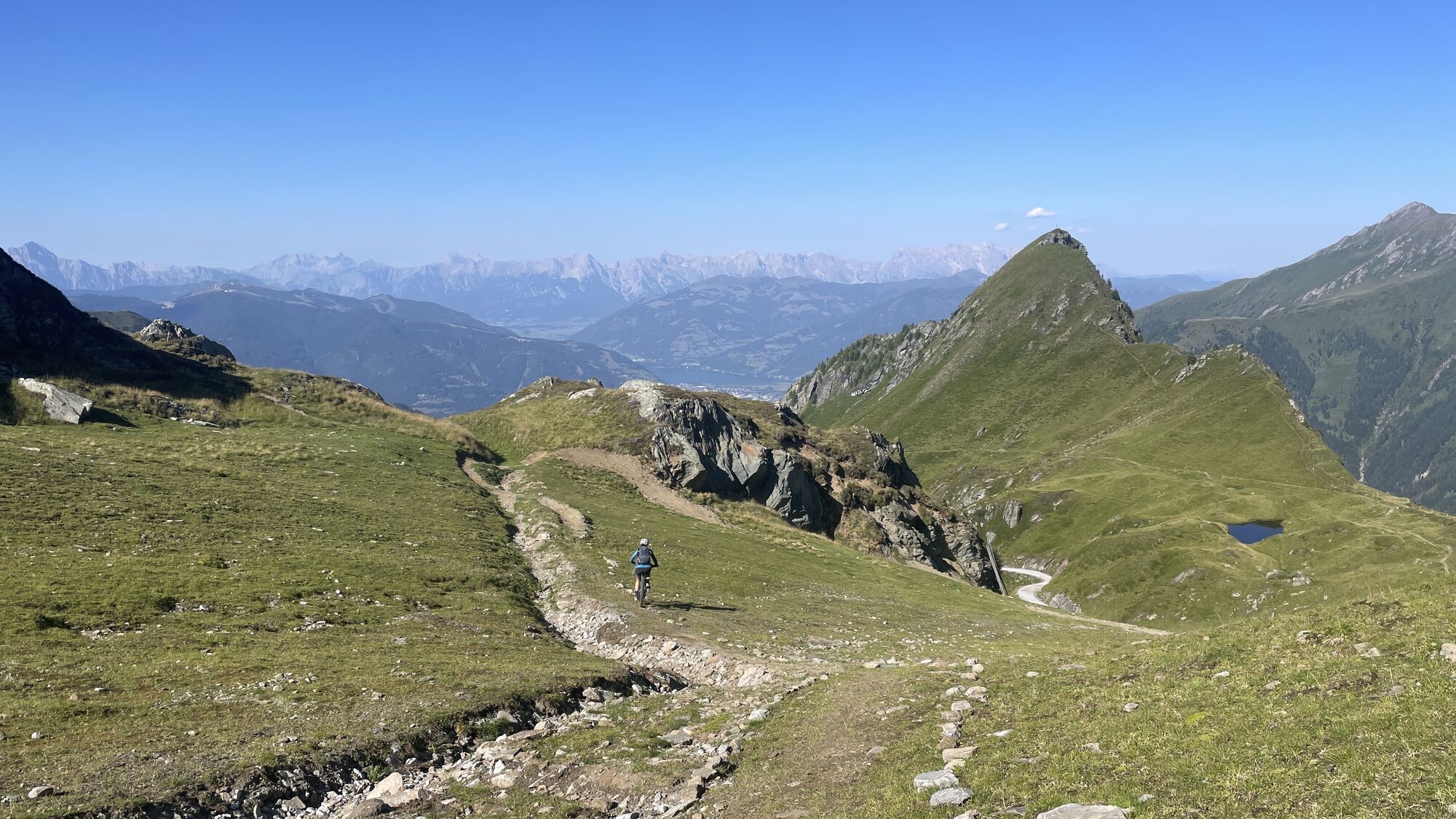


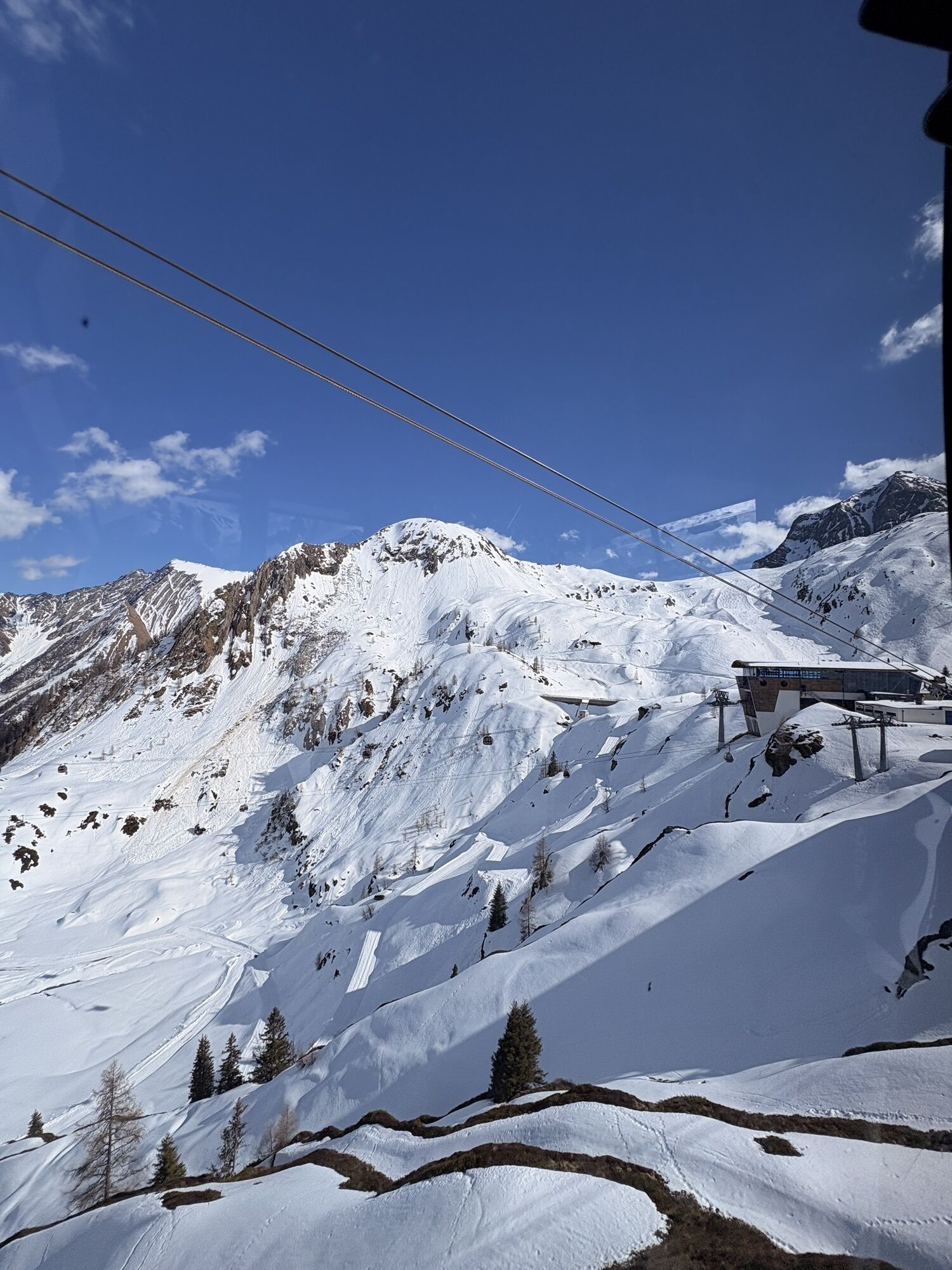


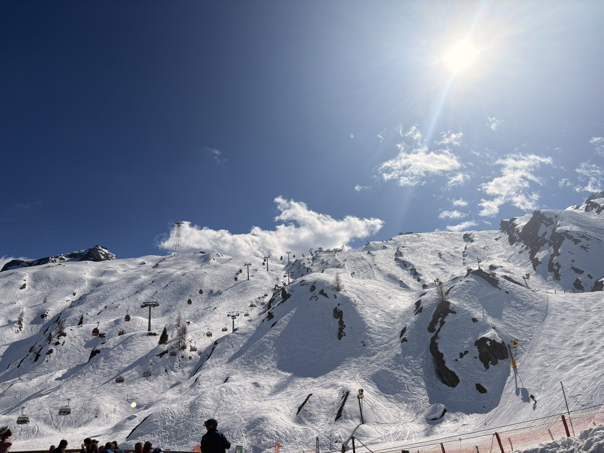


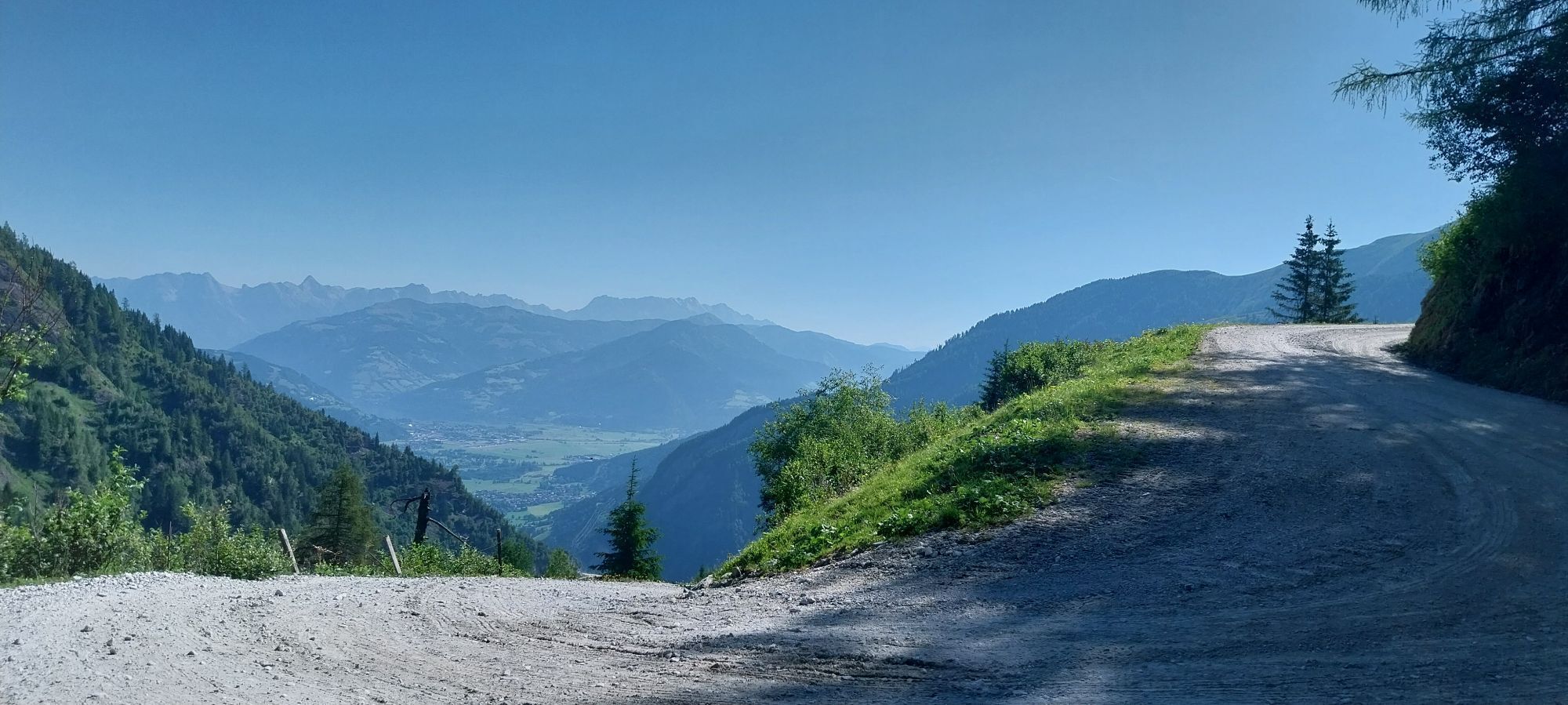

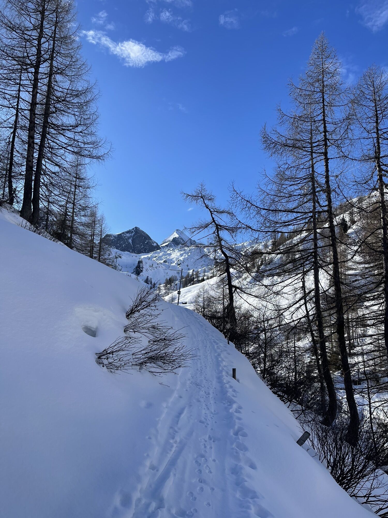
Approx. 500 metres after the Klammsee reservoir, the trail leads to the right over the bridge in a westerly direction uphill over the Hinterwallberg to the Ederalm and further over the Grubbachkar stream...
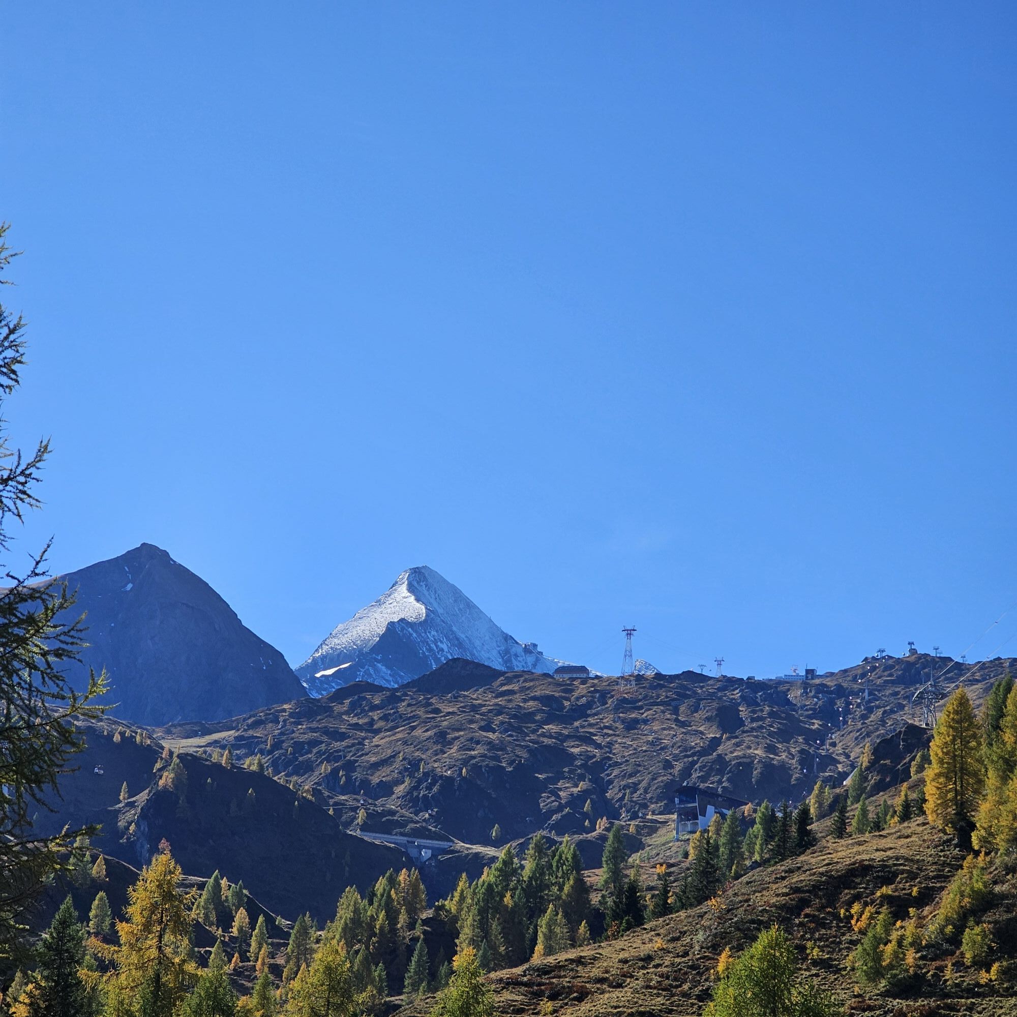
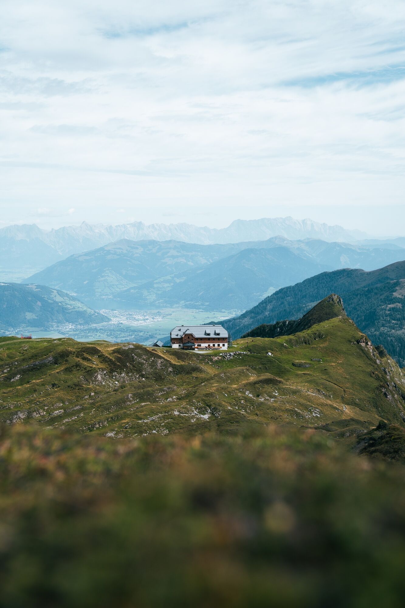
Approx. 500 metres after the Klammsee reservoir, the trail leads to the right over the bridge in a westerly direction uphill over the Hinterwallberg to the Ederalm and further over the Grubbachkar stream to the Salzburger Hütte. From there the trail coninues in a south-easterly direction past the Gaisstein and uphill to the Krefelder Hütte.

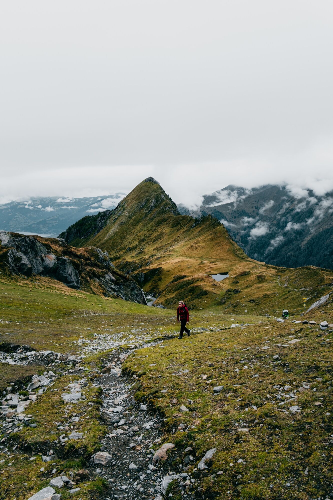
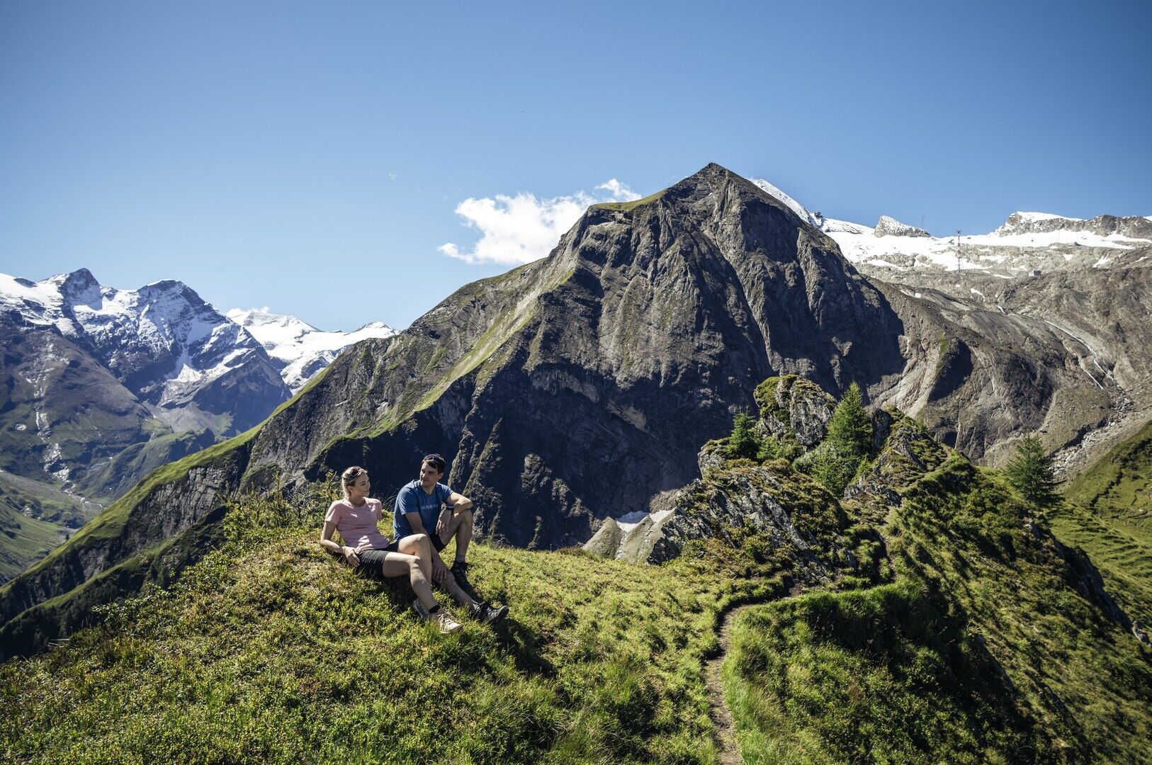
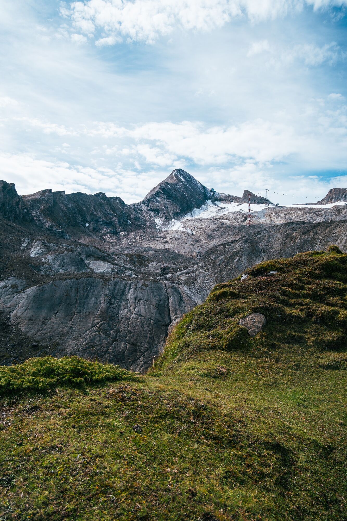

Gaisstein summit ascent: The trail is unsecured.
Bus stop: Kaprun Hinterwald.
Klammsee or Kitzsteinhorn valley station.
The summit ascent to the Gaisstein is also possible.
Kamery internetowe z trasy



Popularne wycieczki w okolicy
-
4,3
Maurerkogel (Top)
Wędrówka 10,5 km -
4,7
Panorama route 3 peaks and 2 lakes
średniWędrówka 7,21 km -
5,0
Wasserfallboden/Mooserboden
ciężkiWędrówka 19,5 km -
4,6
Sigmund Thun Klamm, Klammsee, Bürgkogel
światłoWędrówka 4,56 km -
4,6
Runde um den Weißsee - Gletscherlehrpfad Uttendorf, Österreich
średniWędrówka 6,48 km -
4,6
Thumersbach, Runde um den Zeller See
światłoWędrówka 13,3 km -
4,7
Fusch: Gleiwitzer Hütte
ciężkiWędrówka 8,26 km -
4,5
Areitweg - Plettsauerkopf - Rundwanderung
średniWędrówka 11,8 km -
4,9
Hochsonnberg Runde
średniMountainbike 59,8 km -
4,4
Sigmund Thun Klamm
światłoWędrówka 3,10 km
Wędrówki i tropienie


Nie przegap ofert i inspiracji na następne wakacje
Twój adres e-mail została dodana do listy mailingowej.


