


723 | 724 | Imbachhorn circular tour in Kaprun

The varied Brandlschartenweg trail leads from the Gletscherbahn car park (trail no. 724) through shady high forests and mixed forests up to the Harleitenalm and on across flower-filled alpine meadows to...
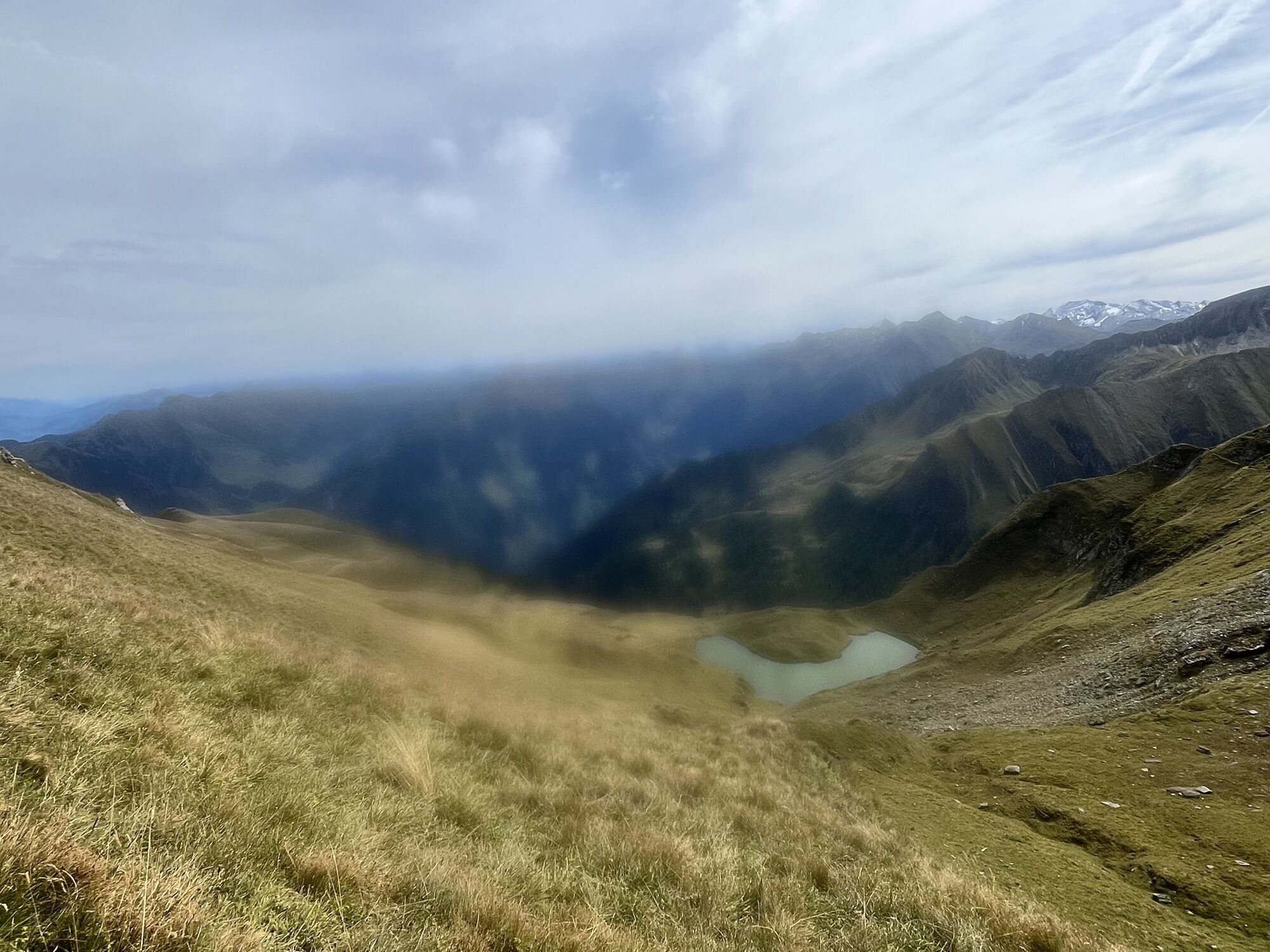
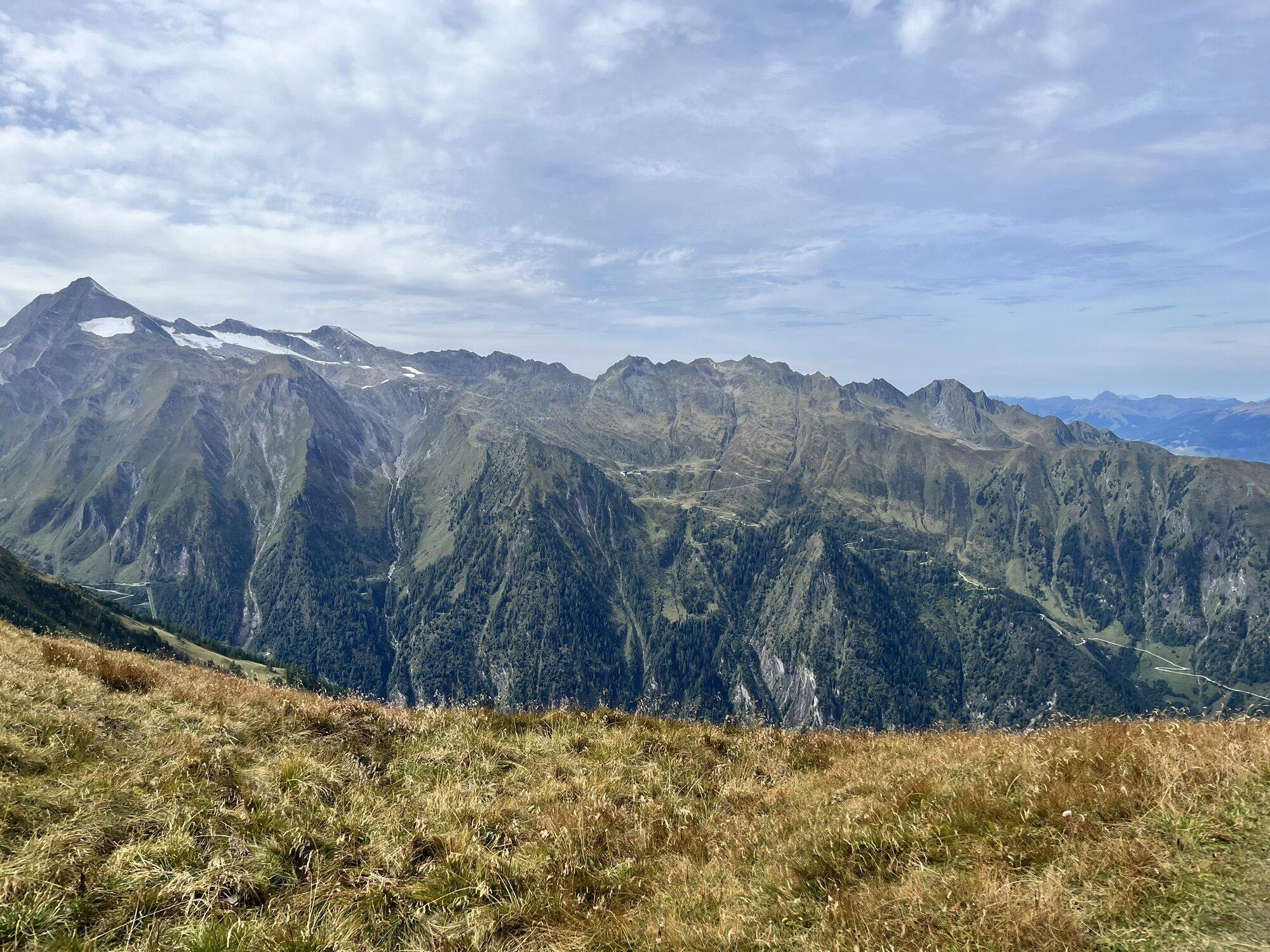
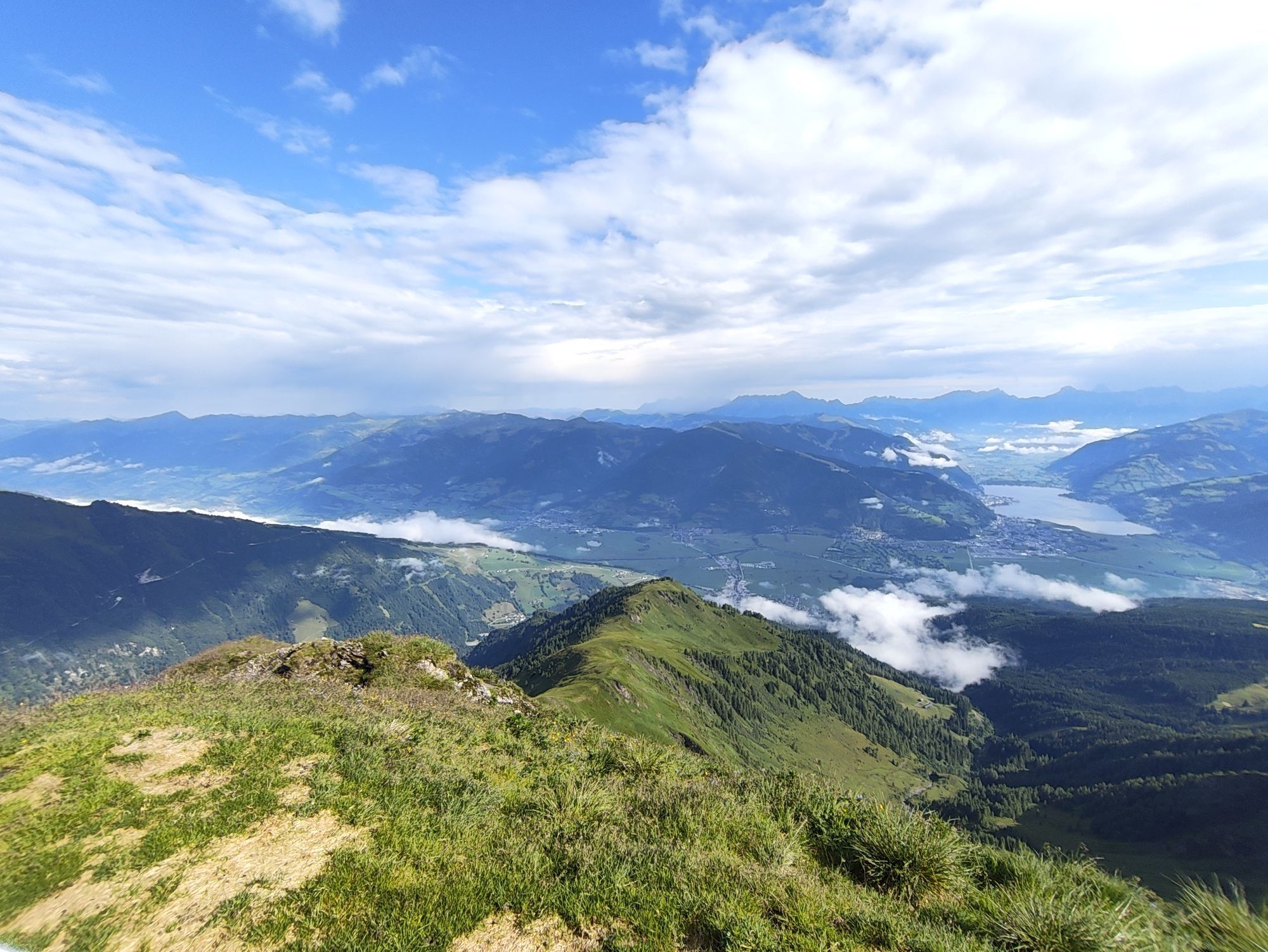
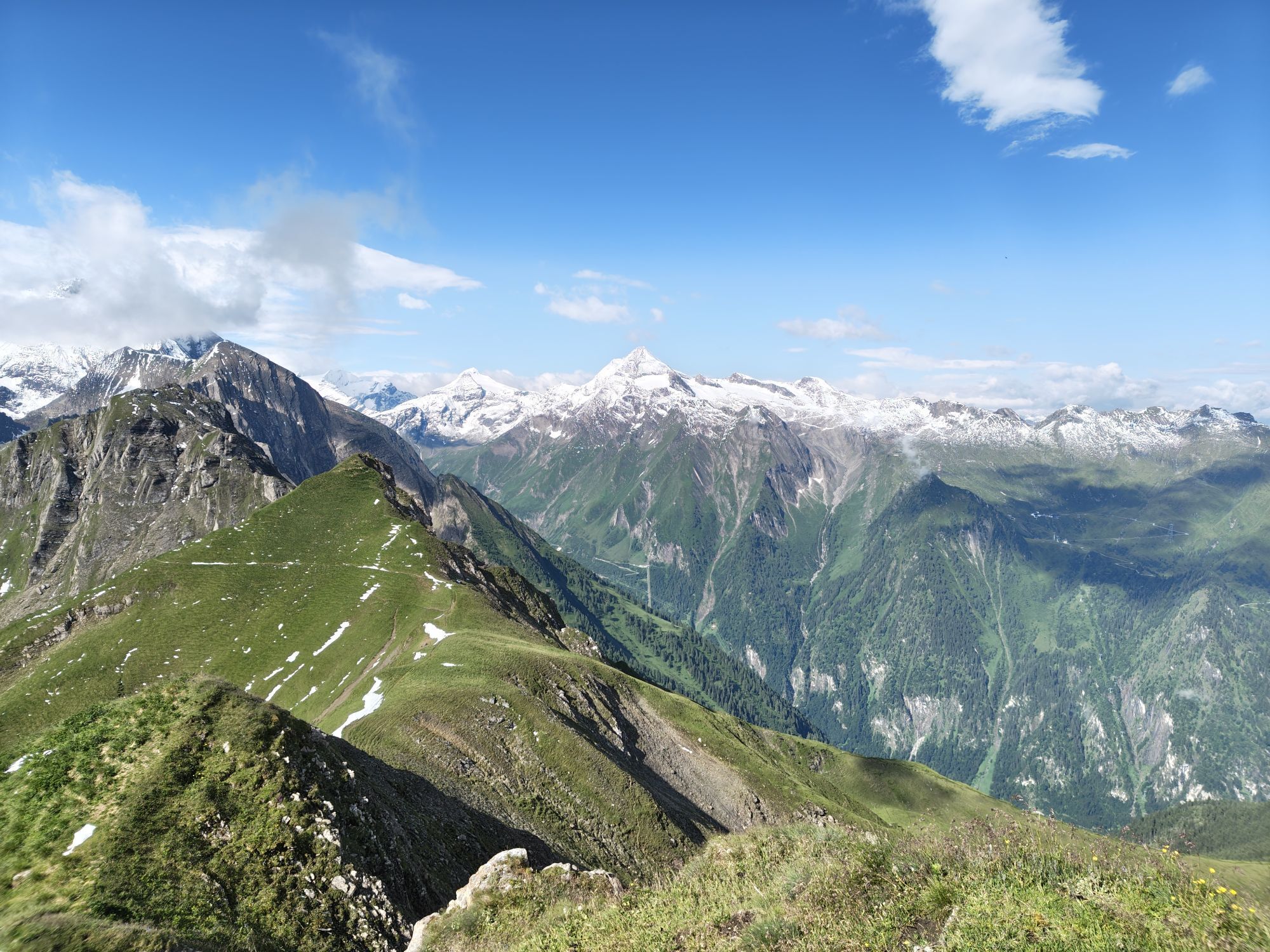
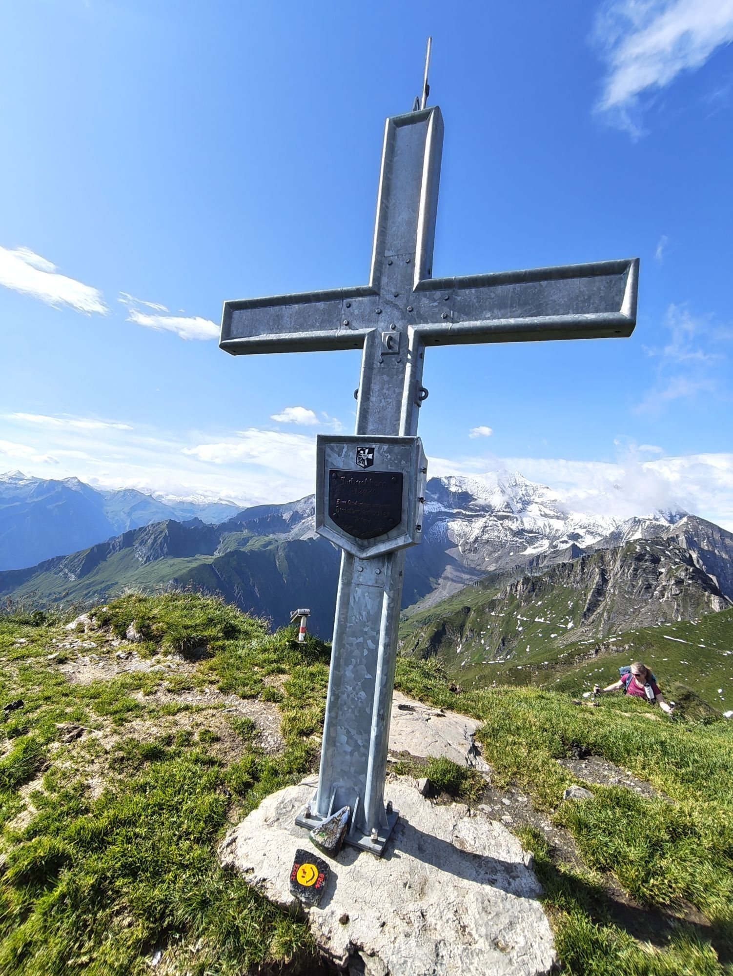
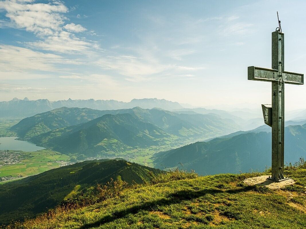
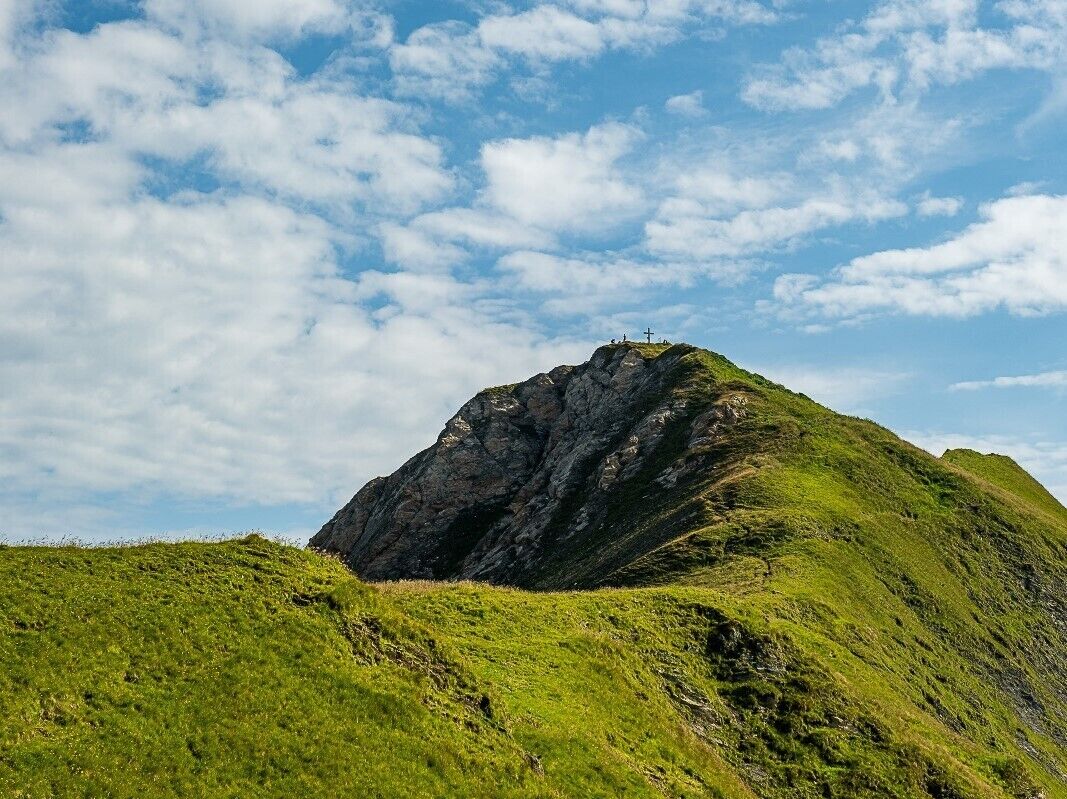
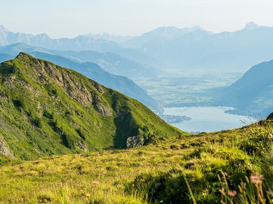
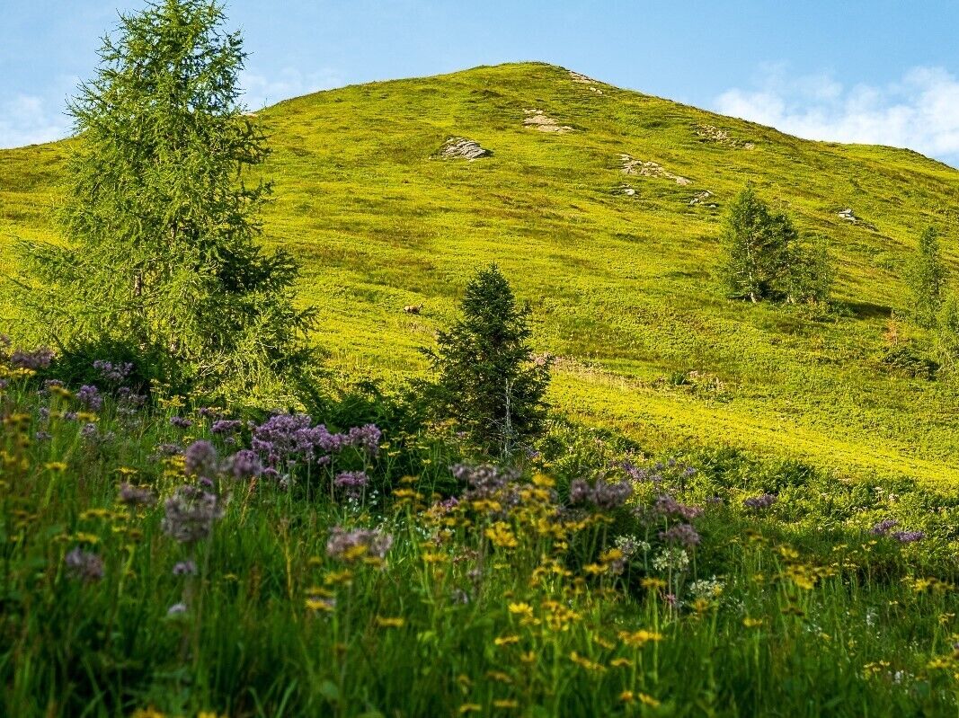
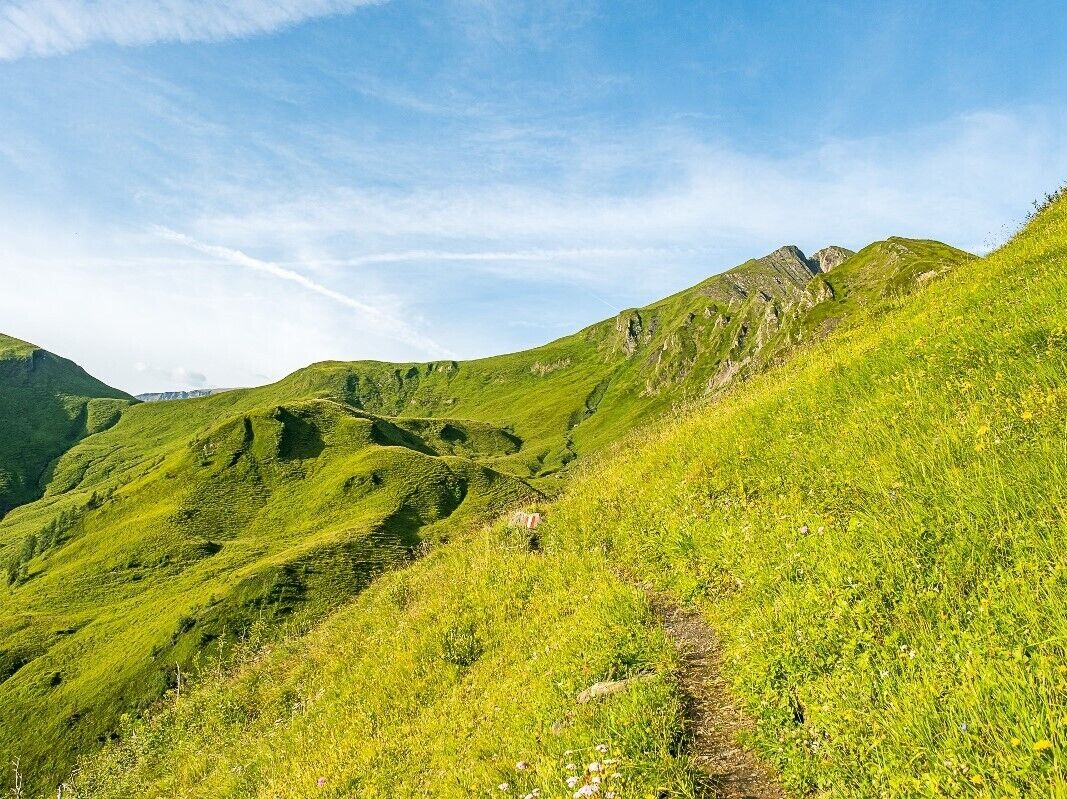
The varied Brandlschartenweg trail leads from the Gletscherbahn car park (trail no. 724) through shady high forests and mixed forests up to the Harleitenalm and on across flower-filled alpine meadows to the Brandlscharte. From here, the trail turns left to the summit of the Imbachhorn – accompanied at all times by impressive views of Lake Zell. The return route to Kaprun is via the Imbachsteig trail (No. 723). Alternatively, you can also descend to the Gleiwitzer Hütte (Fusch).
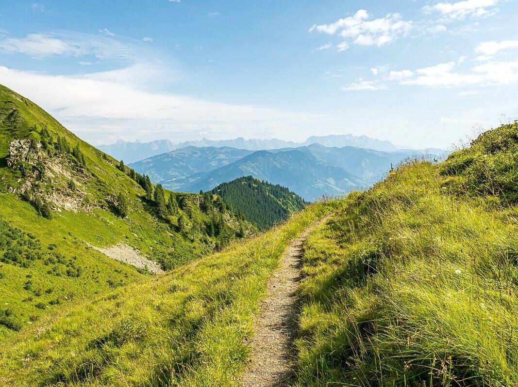
Back to Kaprun along Imbachsteig no 723.
At the Imbachhorn you can descendagain over the Brandlscharte to the Gleiwitzer Hütte.
Festes Schuhwerk, Regenjacke und und bei einer Wandertour über 2.000 m sind aufgrund von schnell möglichen Wetterumschwüngen Handschuhe und Kopfschutz empfehlenswert!
Arrival
Bus 660. Bus stop: Kitzsteinhorn Talstation.
Maiskogel or Kitzsteinhorn car park
Kamery internetowe z trasy
Popularne wycieczki w okolicy
- 4,3
Schwalbenwand Nr. 80, 81, 82
średniWędrówka 13,0 km - 4,8
Sigmund Thun Klamm, Klammsee, Bürgkogel
światłoWędrówka 4,56 km - 4,0
Maurerkogel (Top)
Wędrówka 10,5 km - 4,9
Hochsonnberg Runde
średniMountainbike 59,8 km - 4,5
Thumersbach, Runde um den Zeller See
światłoWędrówka 13,3 km - 4,4
Sigmund Thun Klamm
światłoWędrówka 3,10 km - 4,9
Großes Wiesbachhorn 3564 mnv Kaprun, Austrija
ciężkiWędrówka 13,4 km - 3,9
Großglockner Hochalpenstrasse
ciężkiJazda na rowerze 20,2 km - 4,6
3 Oktober Fusch Walcher Grung und Hohalm
średniWędrówka 8,57 km - 4,5
Areitweg - Plettsauerkopf - Rundwanderung
średniWędrówka 11,8 km
Wędrówki i tropienie


Nie przegap ofert i inspiracji na następne wakacje
Twój adres e-mail została dodana do listy mailingowej.