


Route of the Gorges - 1st hiking day


On the 1st hiking day you start from Lofer via the Tiroler Steig to Maria Kirchental. The pilgrimage church in this high valley is also called the Pinzgau Baroque cathedral. Then continue over the Lueginger...
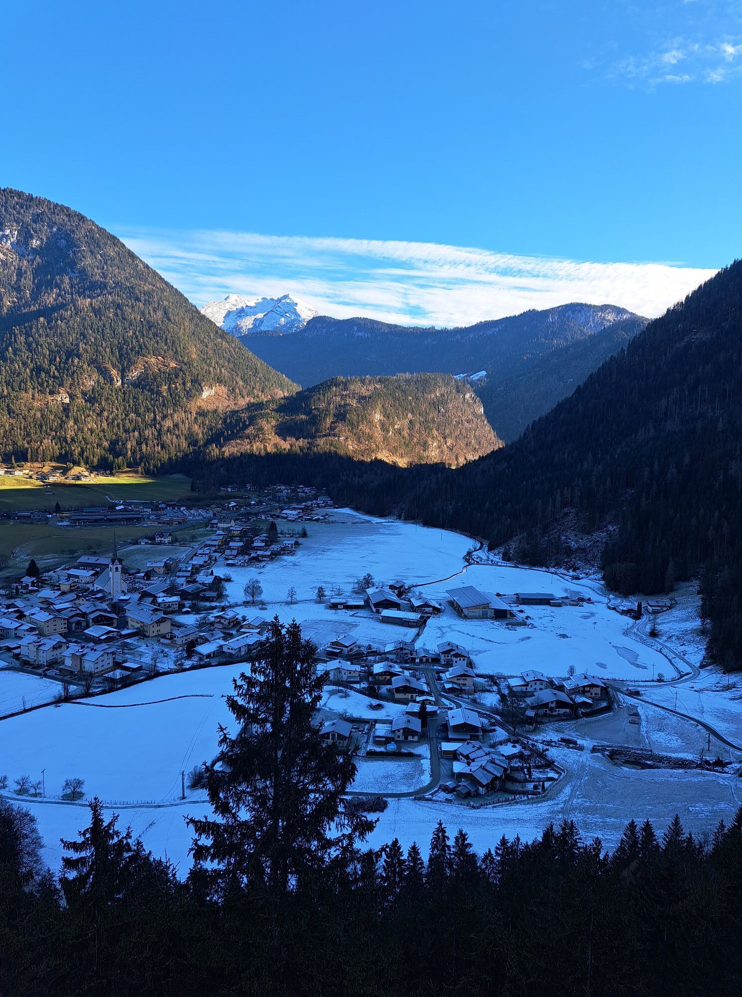
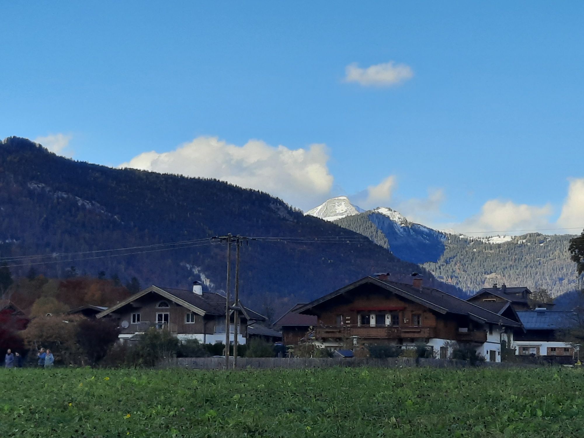
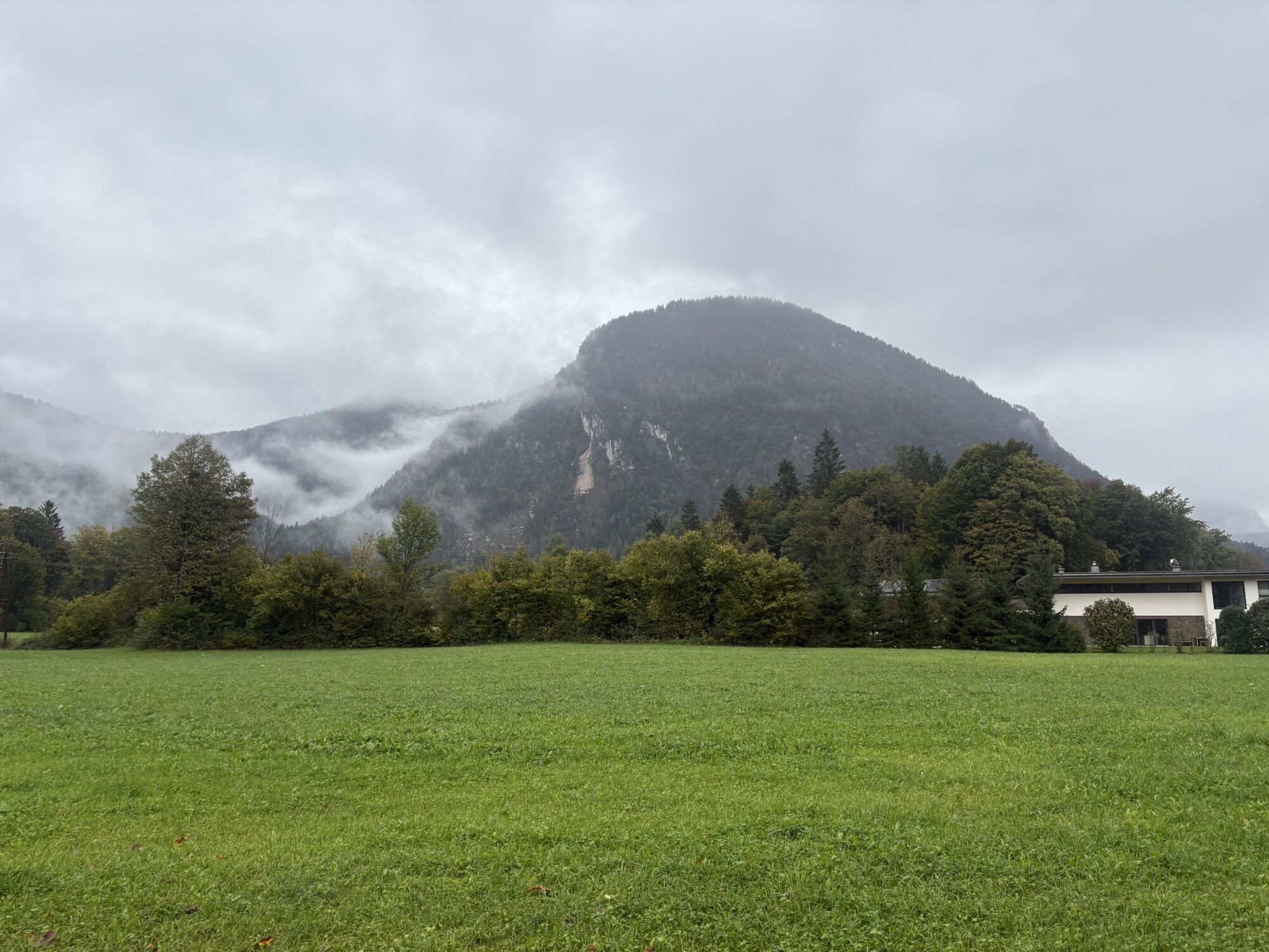
On the 1st hiking day you start from Lofer via the Tiroler Steig to Maria Kirchental. The pilgrimage church in this high valley is also called the Pinzgau Baroque cathedral. Then continue over the Lueginger Höhe to Strowolln and then along the Saalach to Scheffsnoth and Au. On the way back you hike through Bairau Park and the Devil’s Bridge back to Lofer.

Route: Lofer - Maria Kirchental – Scheffsnoth - Au – Lofer
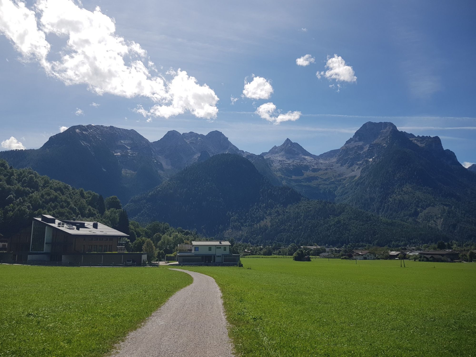
The Salzburger Saalachtal Tourist Association is located at the large parking lot in Lofer – the info team is happy to assist you with planning.
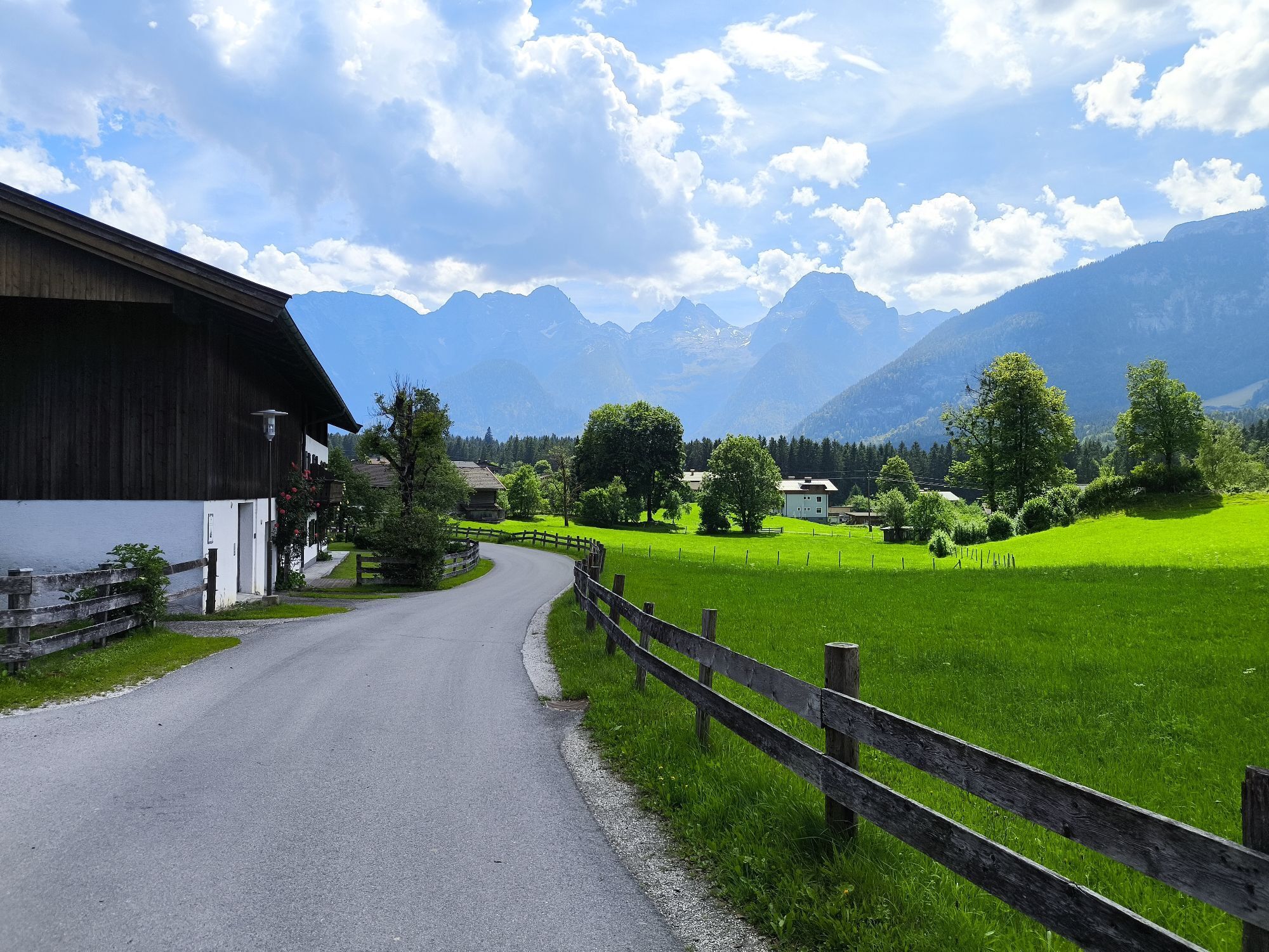
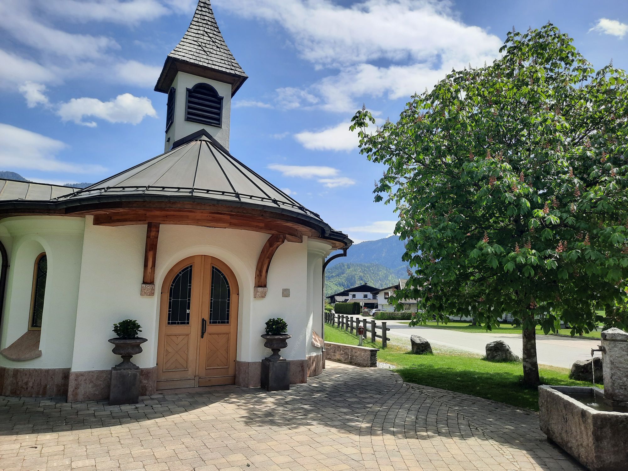
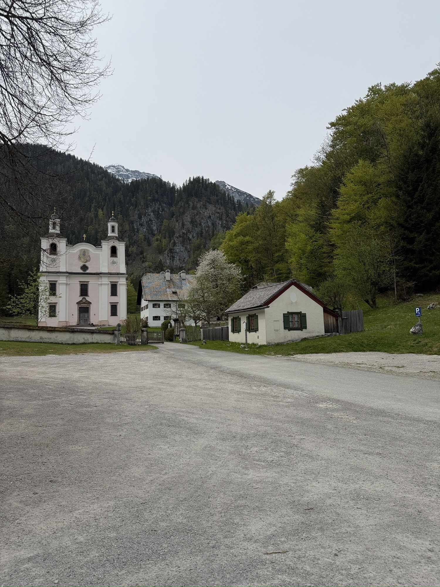
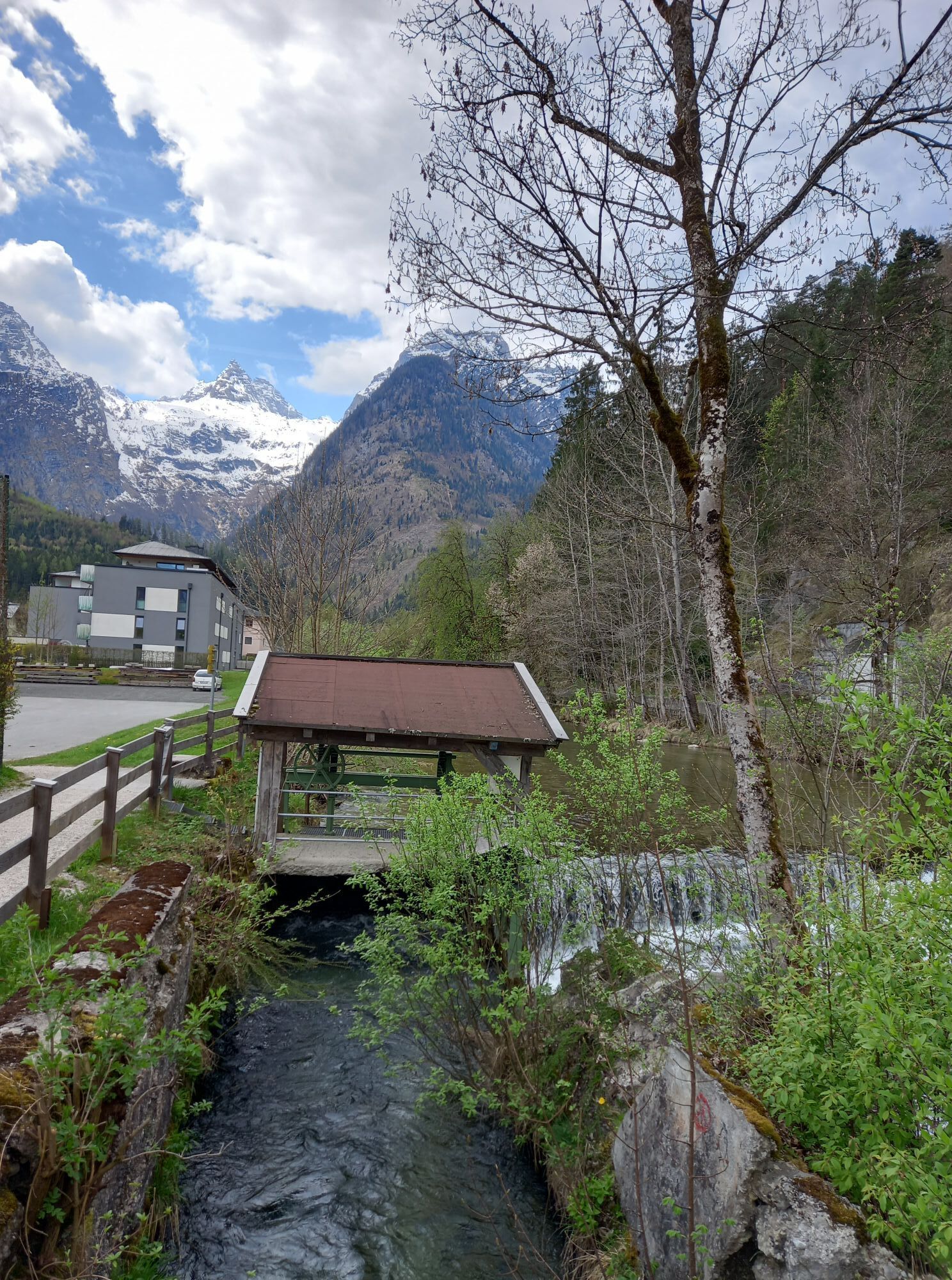
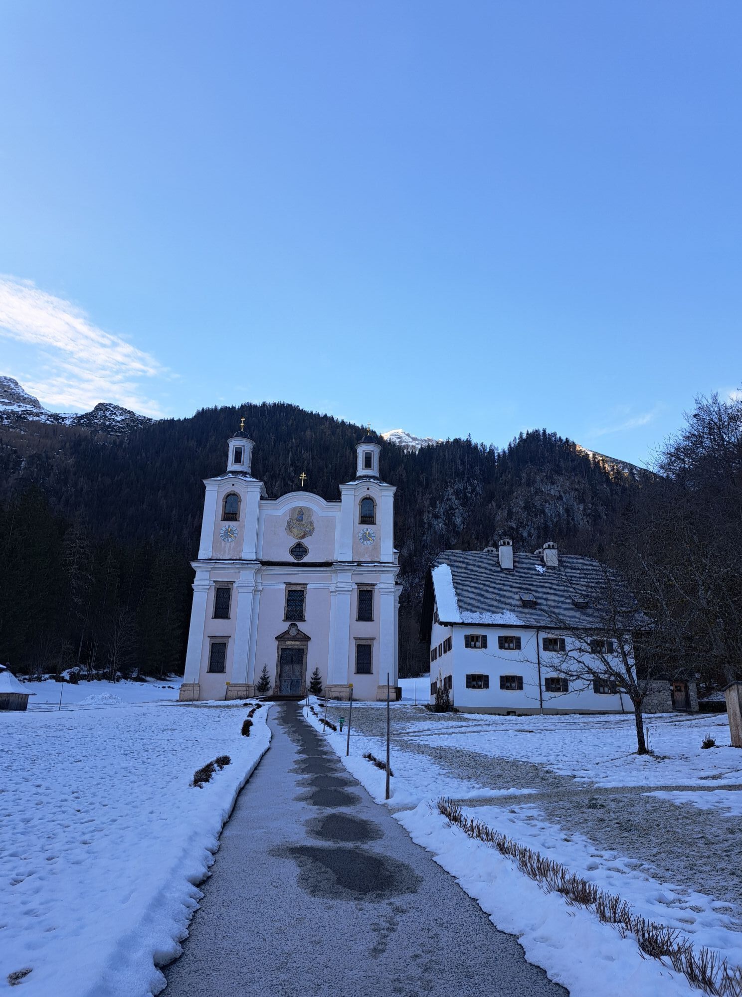
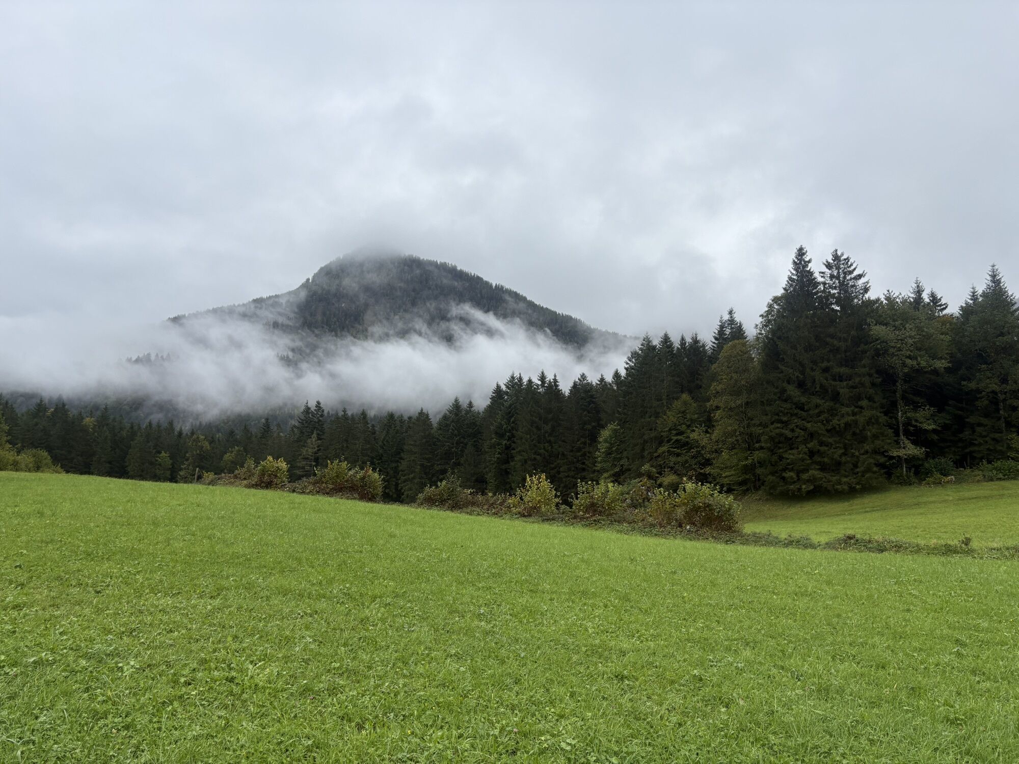
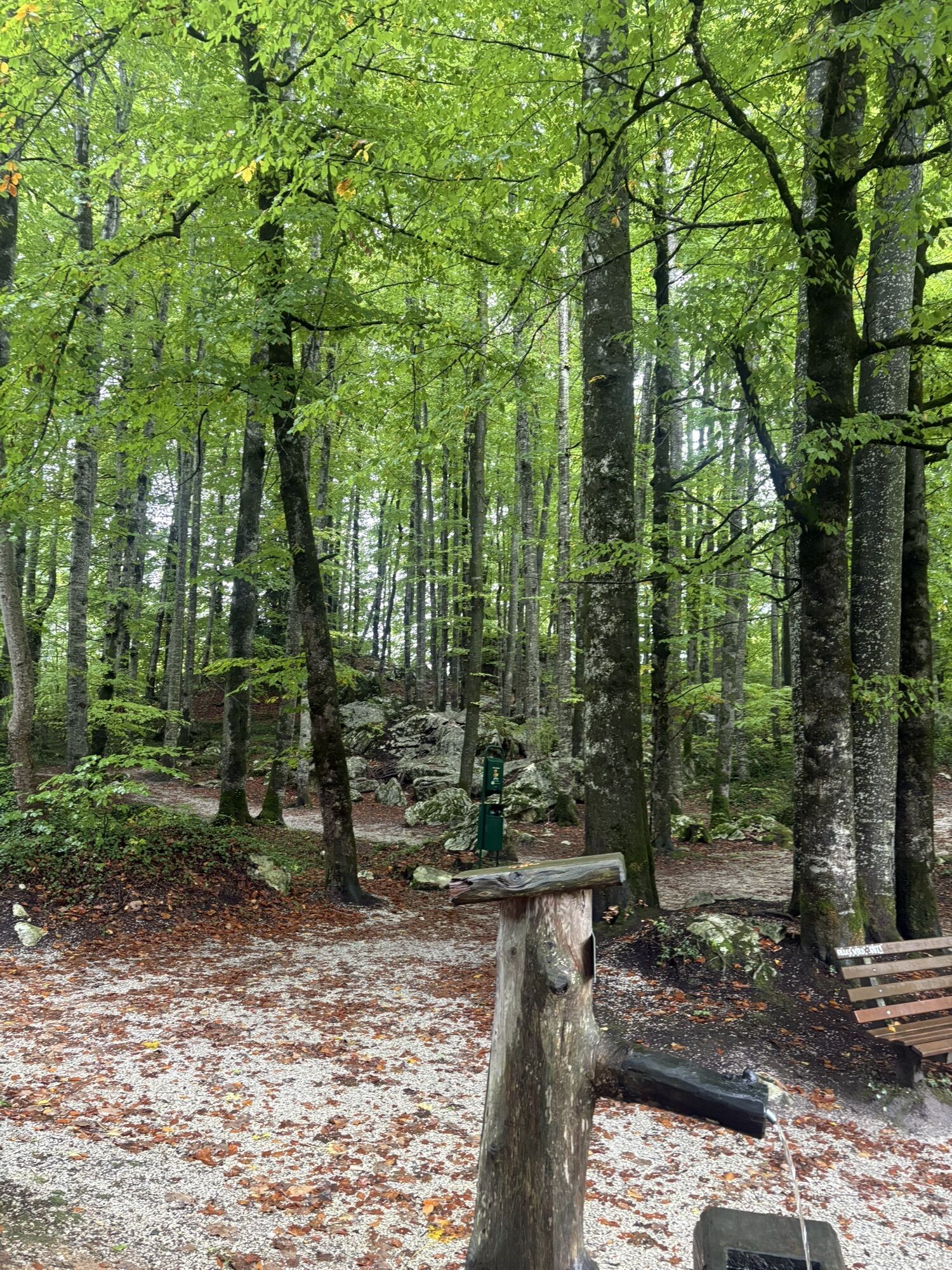
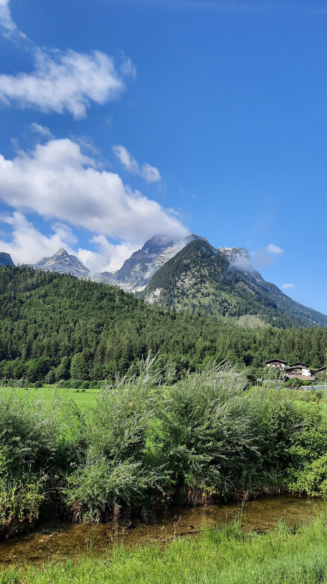
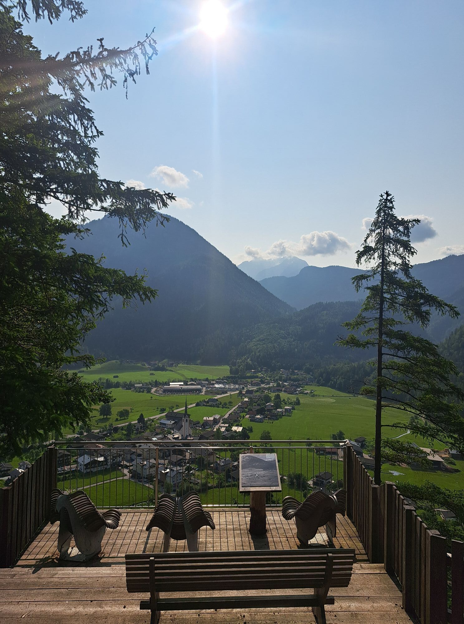
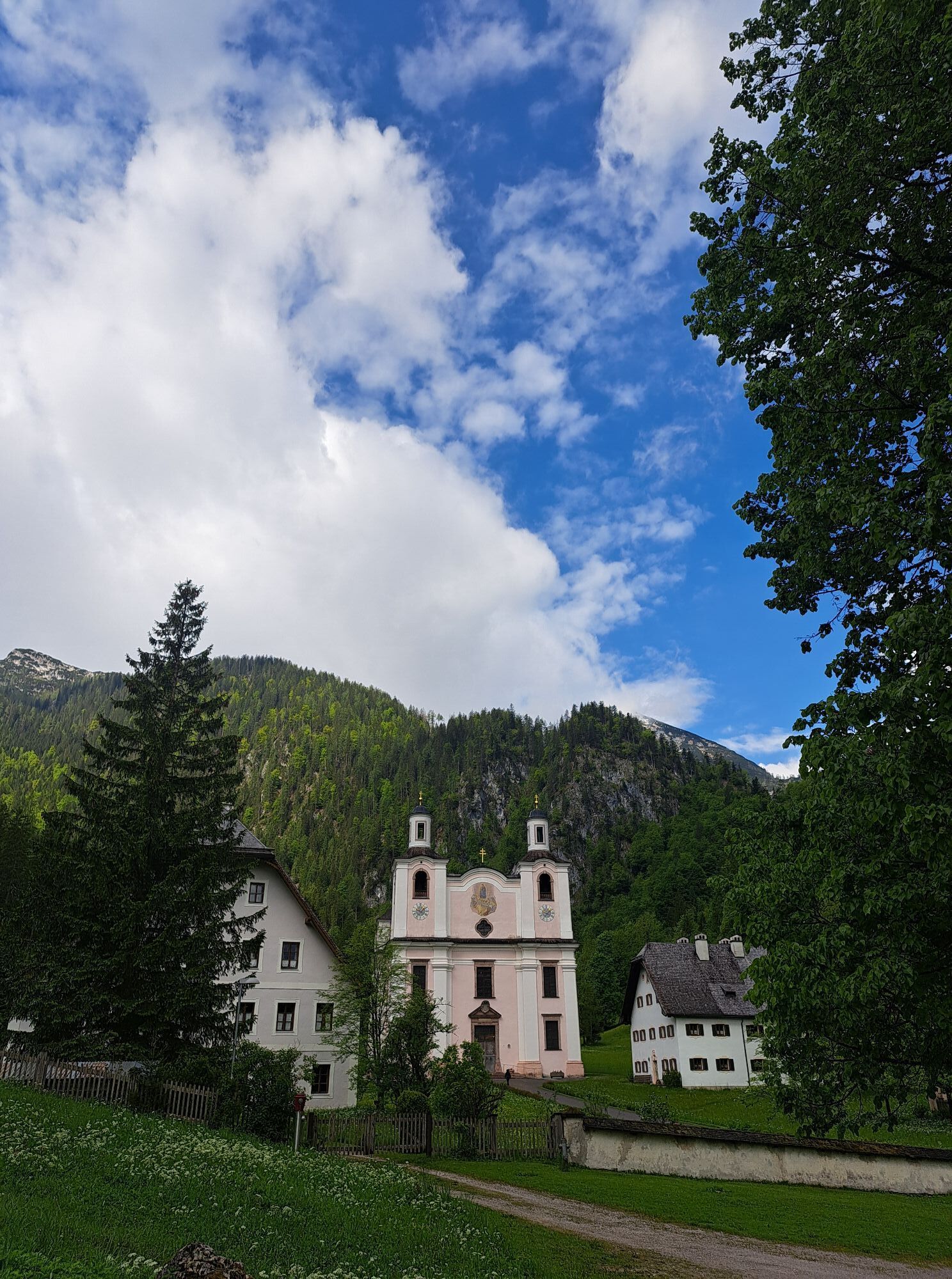
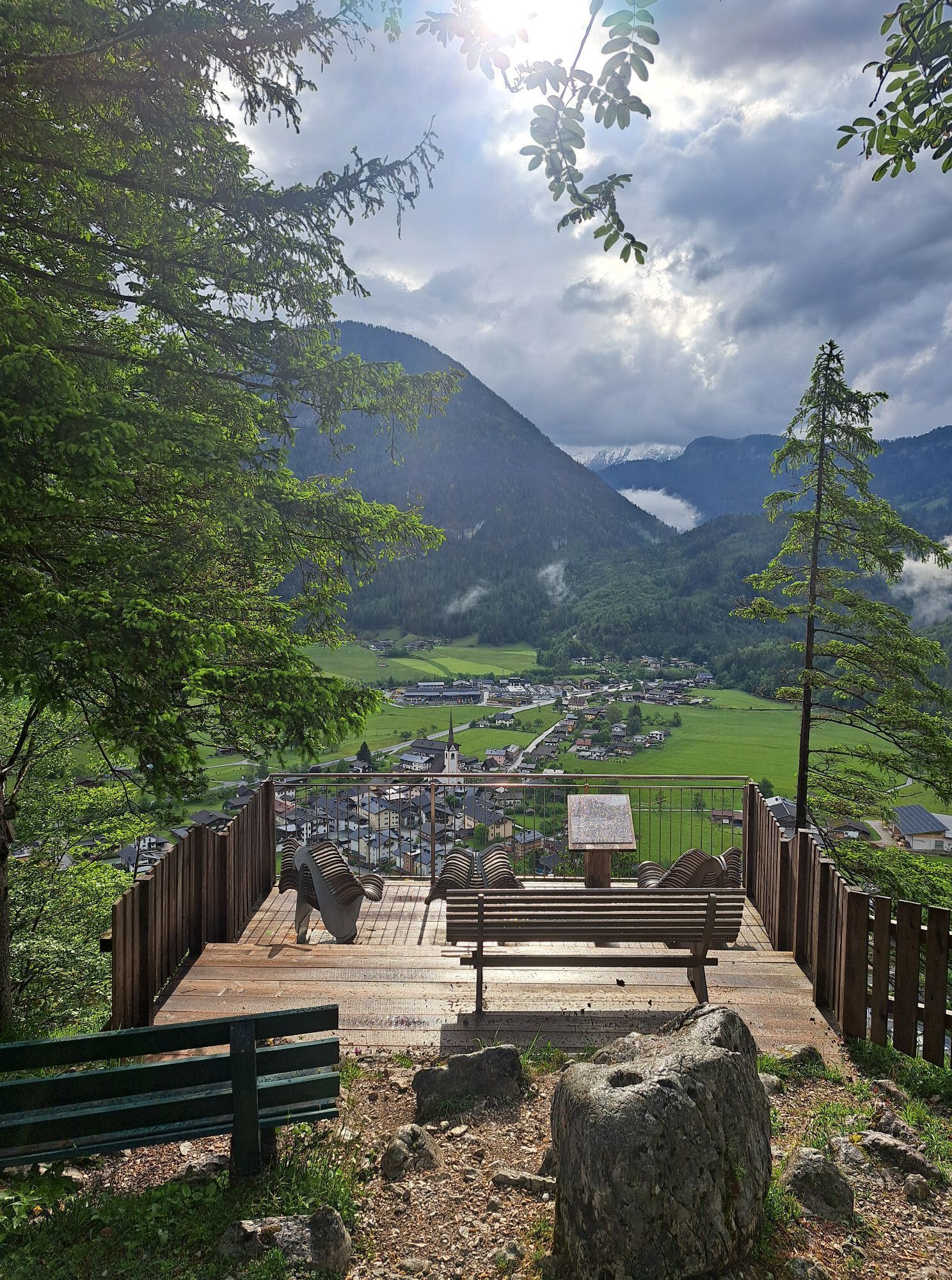
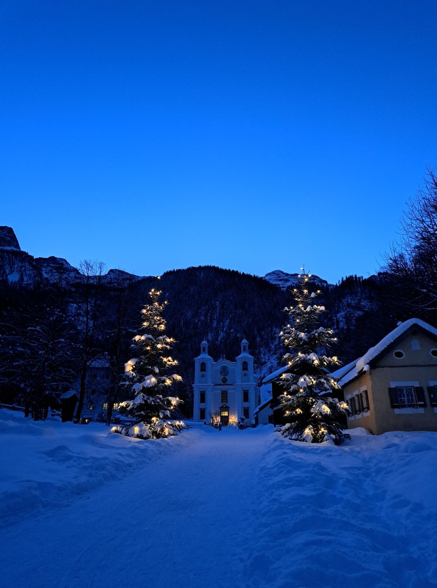
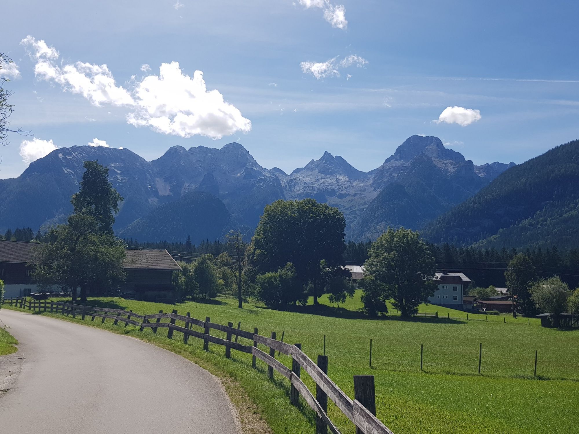
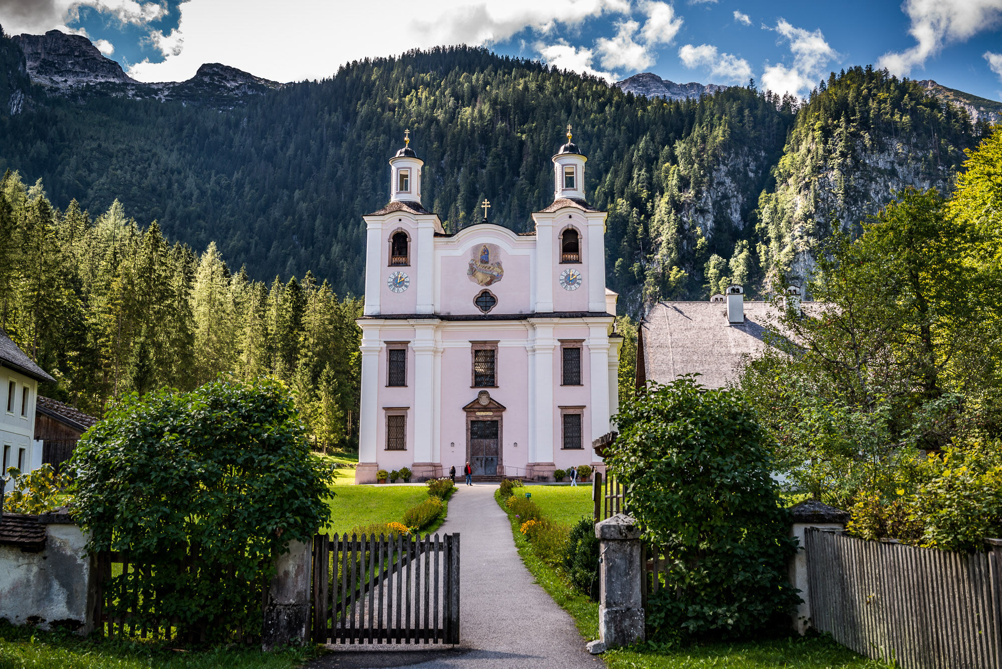
Here your first hiking day starts. You cross the parking lot towards the church, walk over the market square and along Marktstraße to the Gasthof zum Schweizer. Here you turn left towards the federal road, cross it, and go over the Moserpromenade to Bad Hochmoos. At the tennis court, turn right, then pass the Hochmoos viewing platform and hike via the Tiroler Steig to Maria Kirchental (891m). The pilgrimage church, the Pinzgau Baroque cathedral, is located in a green high valley at the foot of the Loferer Steinberge mountains - a true place of power.
Pilgrimage Church Maria Kirchental - Origin: In 1670 the woodcutter Johann Schmuck from St. Martin built a small wooden church. In 1688, other farmers also became interested in the church and together they built a larger masonry chapel, and from the St. Martin church an old Gothic image of the Virgin Mary with the infant Jesus was transferred. Initially, they wanted to expand the chapel into a church. However, when it was told that further inside, in the meadow, three ears of corn had grown, this was interpreted as the Virgin Mary wanting the church at this location. The church was then built there from 1694 to 1699, where it now stands. The great master builder Fischer von Erlach was commissioned to create a generous plan. The image of grace was transferred into the church, and the chapel was demolished - a cross now stands at the old site between the lime trees. The church has one of the largest collections of votive paintings, which are very interesting from religious, folk, traditional costume, and historical perspectives. The oldest votive painting dates from 1691.
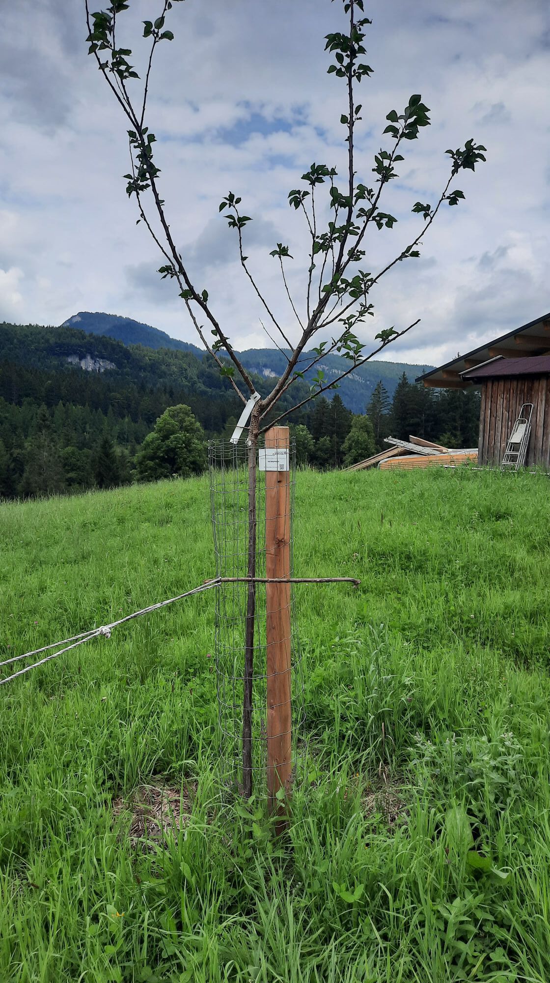
The sacristan and sexton’s house, a devotional stand, and the Kirchentalwirt complete the secluded settlement.
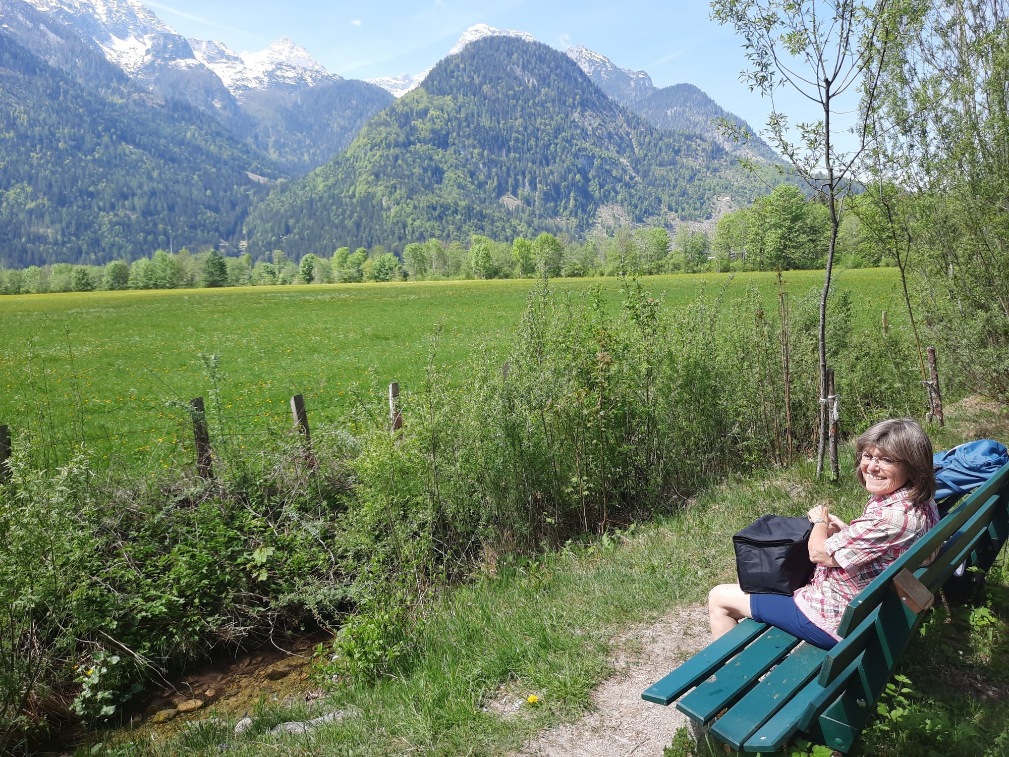
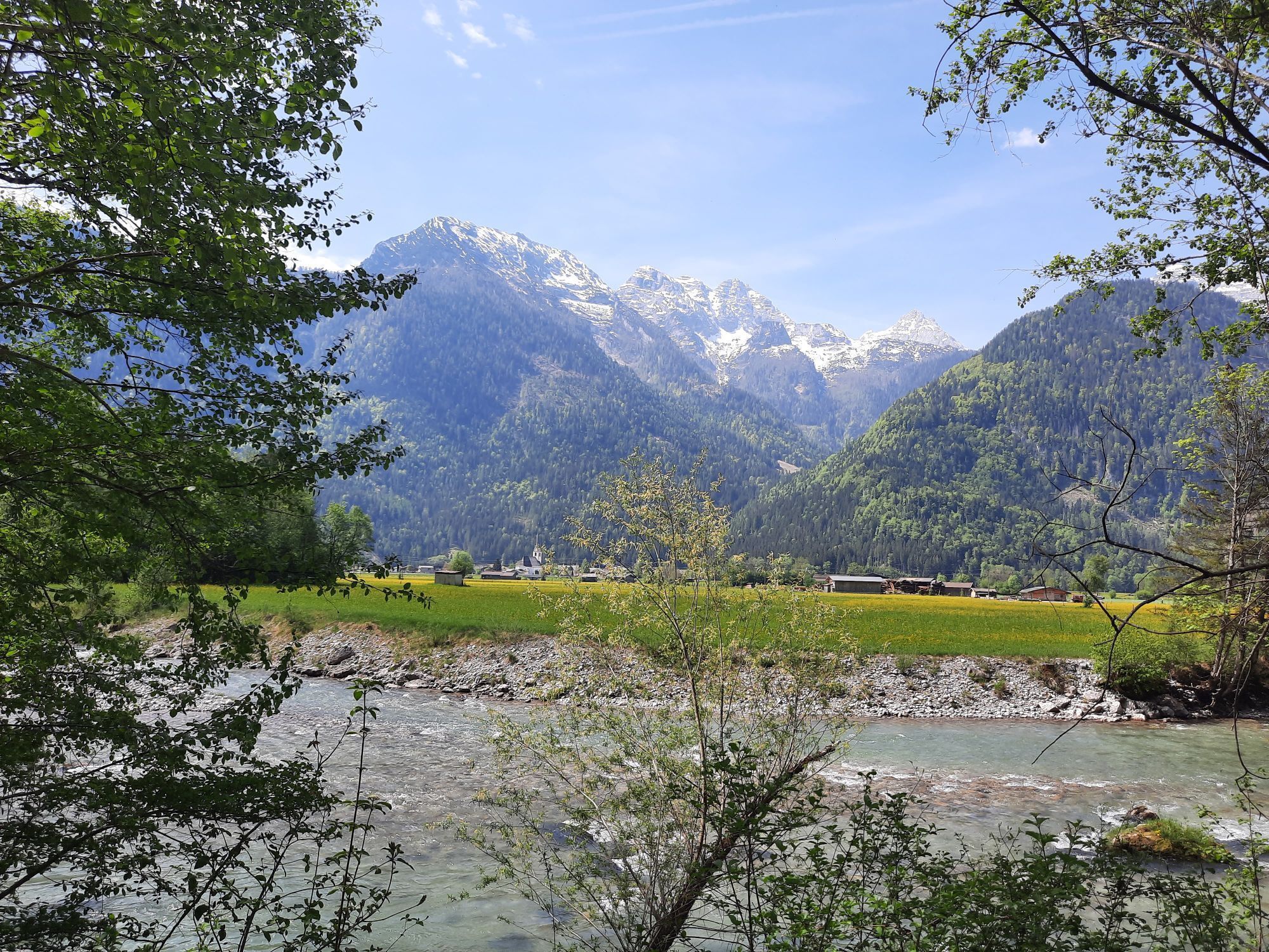
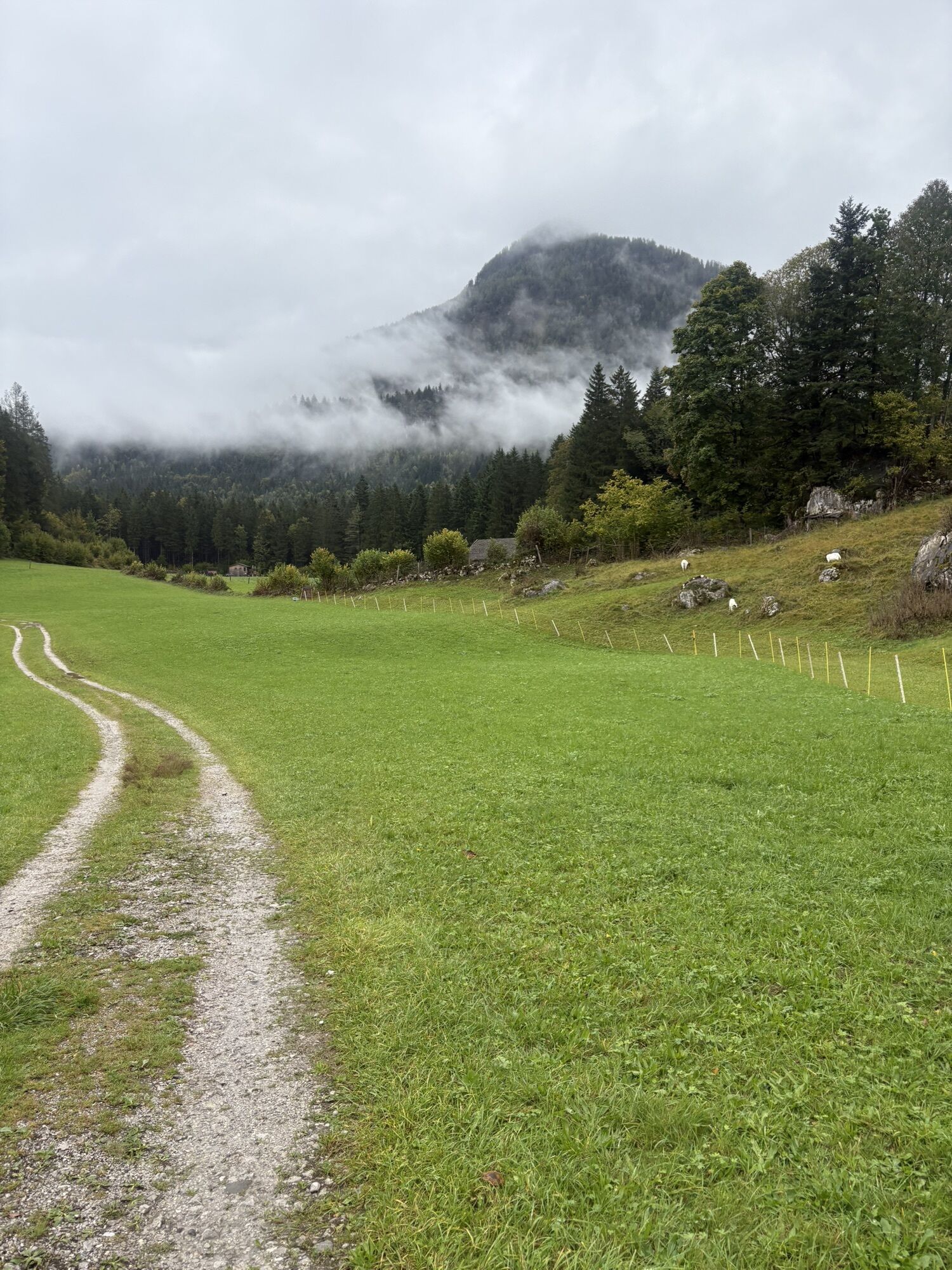
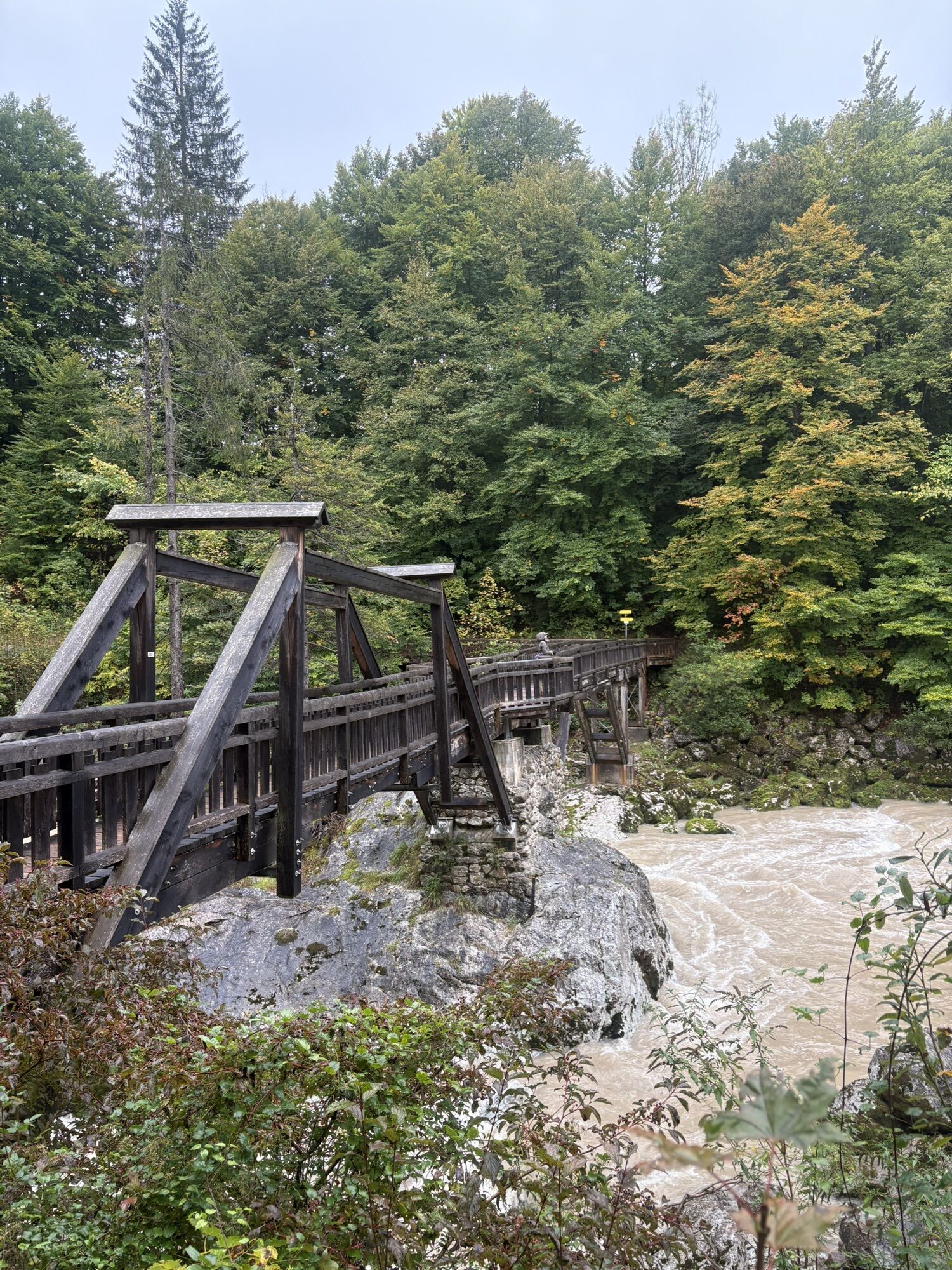
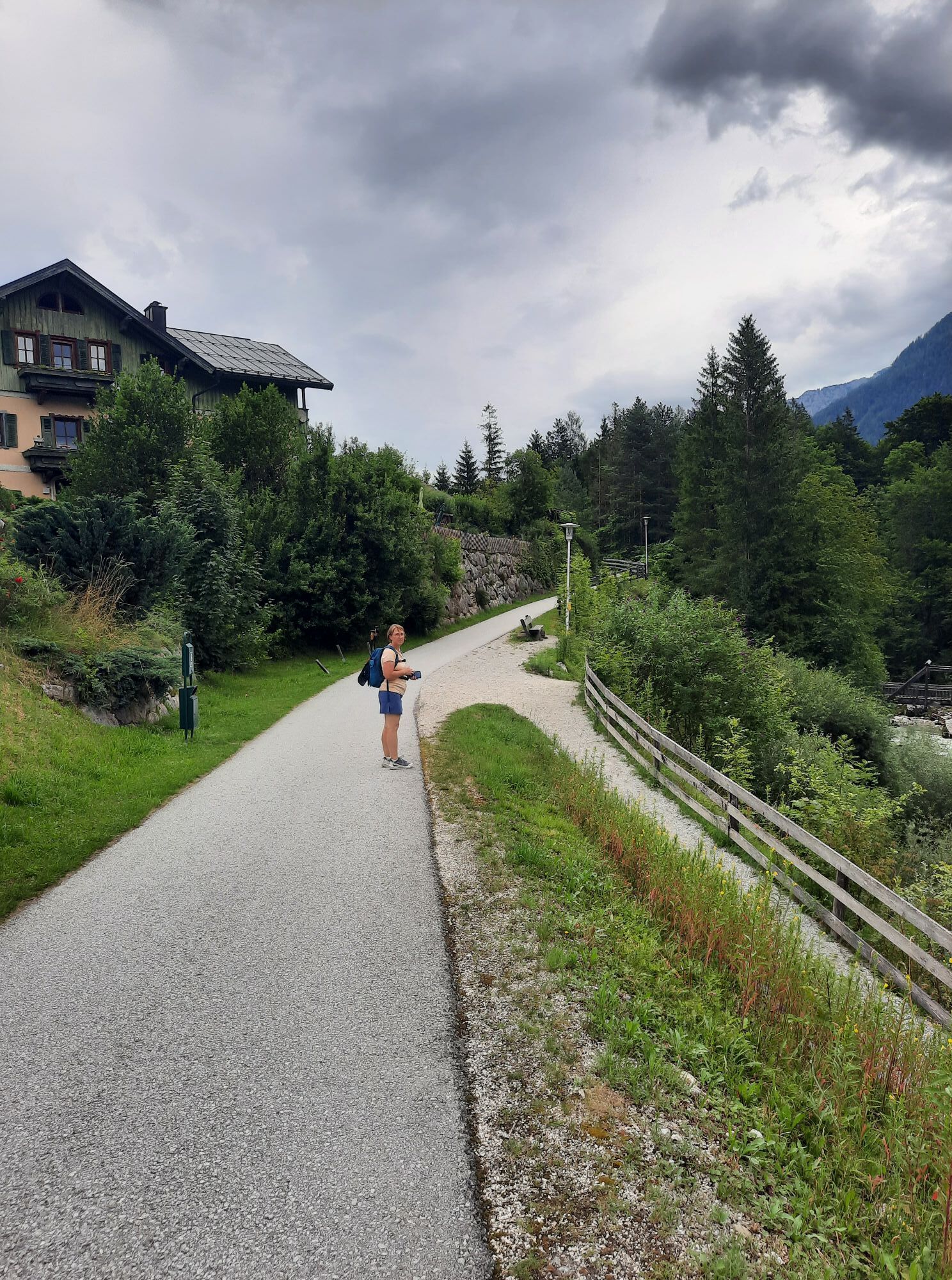
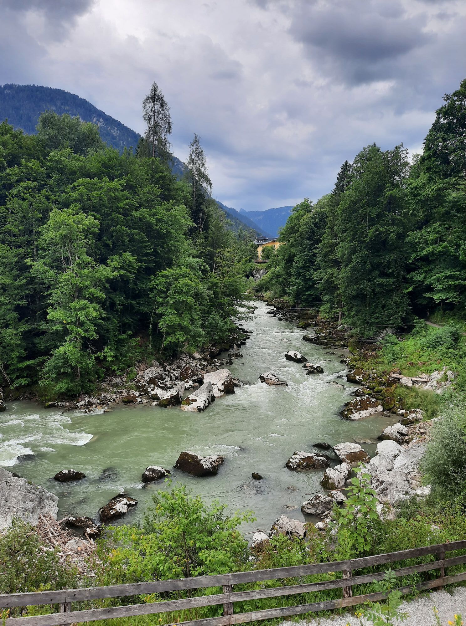
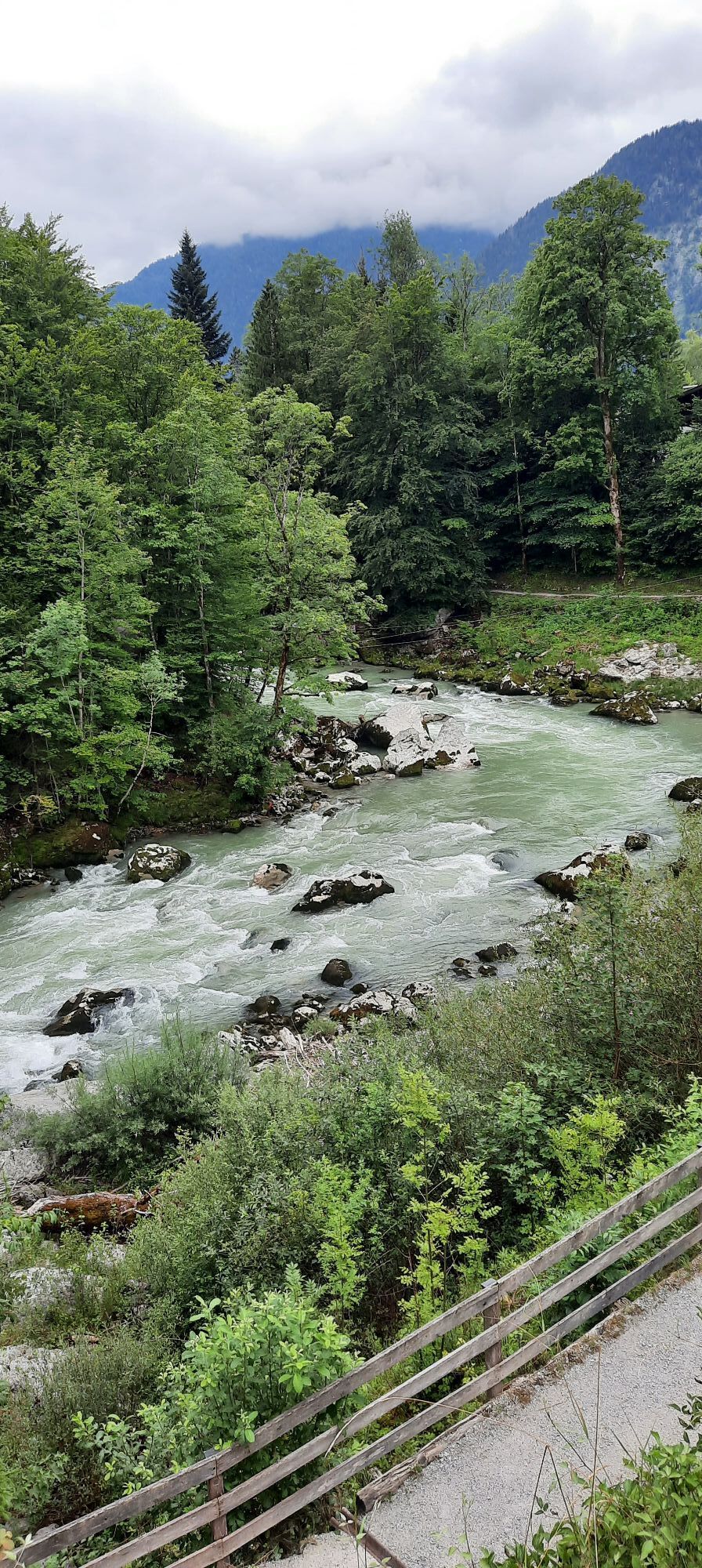
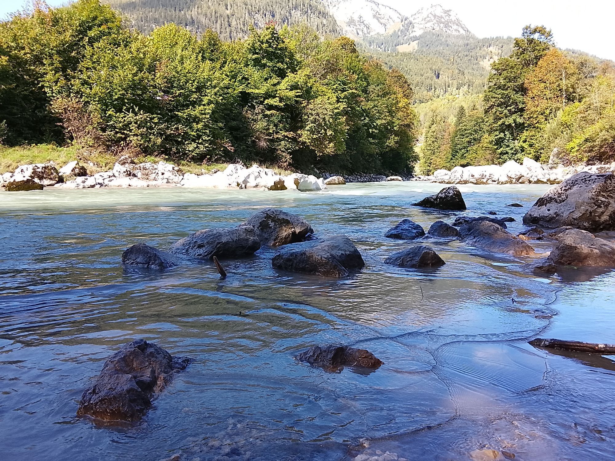
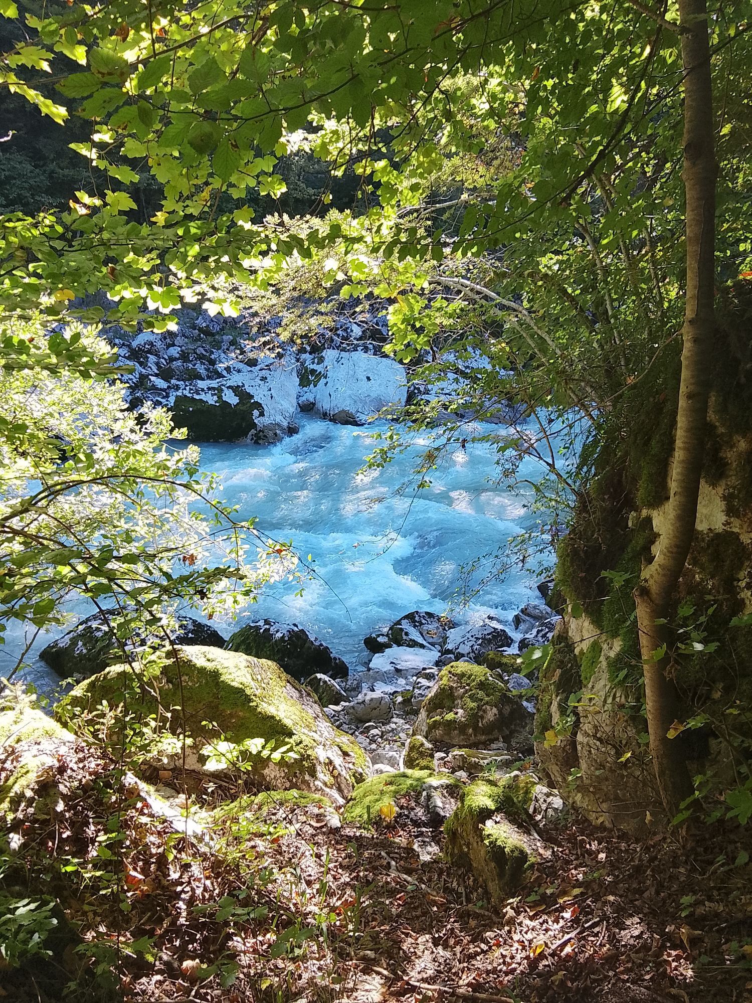
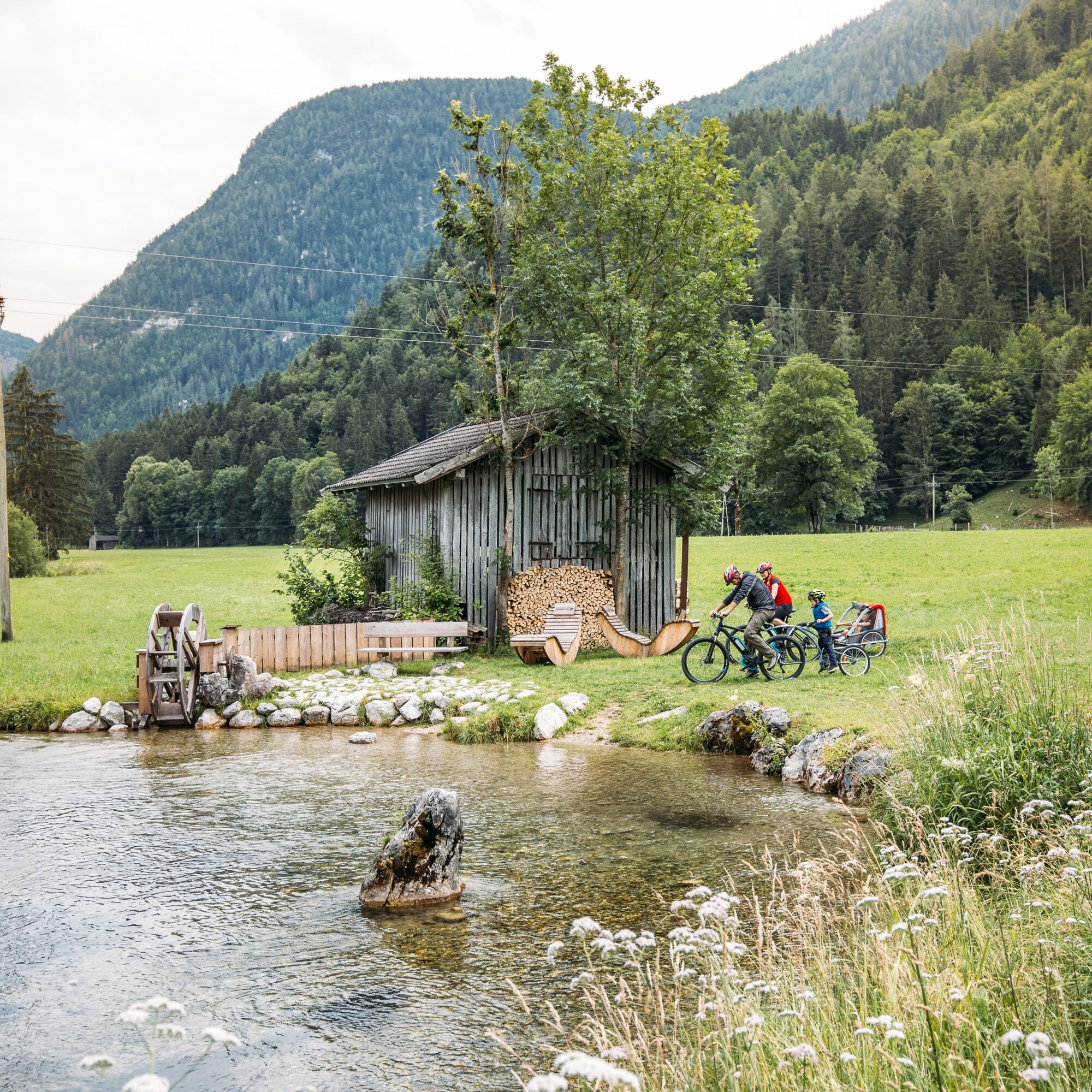
On the way back, you walk a short stretch along the toll road, turn right after about 250 m, and hike over the Lueginger Höhe to Luftenstein. There you cross the federal road and go over the Strowollner Bridge to Wildental. At Cafe Marianne, turn slightly left into the Strowolln district and follow the path along the Saalach River, passing the Grubhof footbridge to Scheffsnoth.
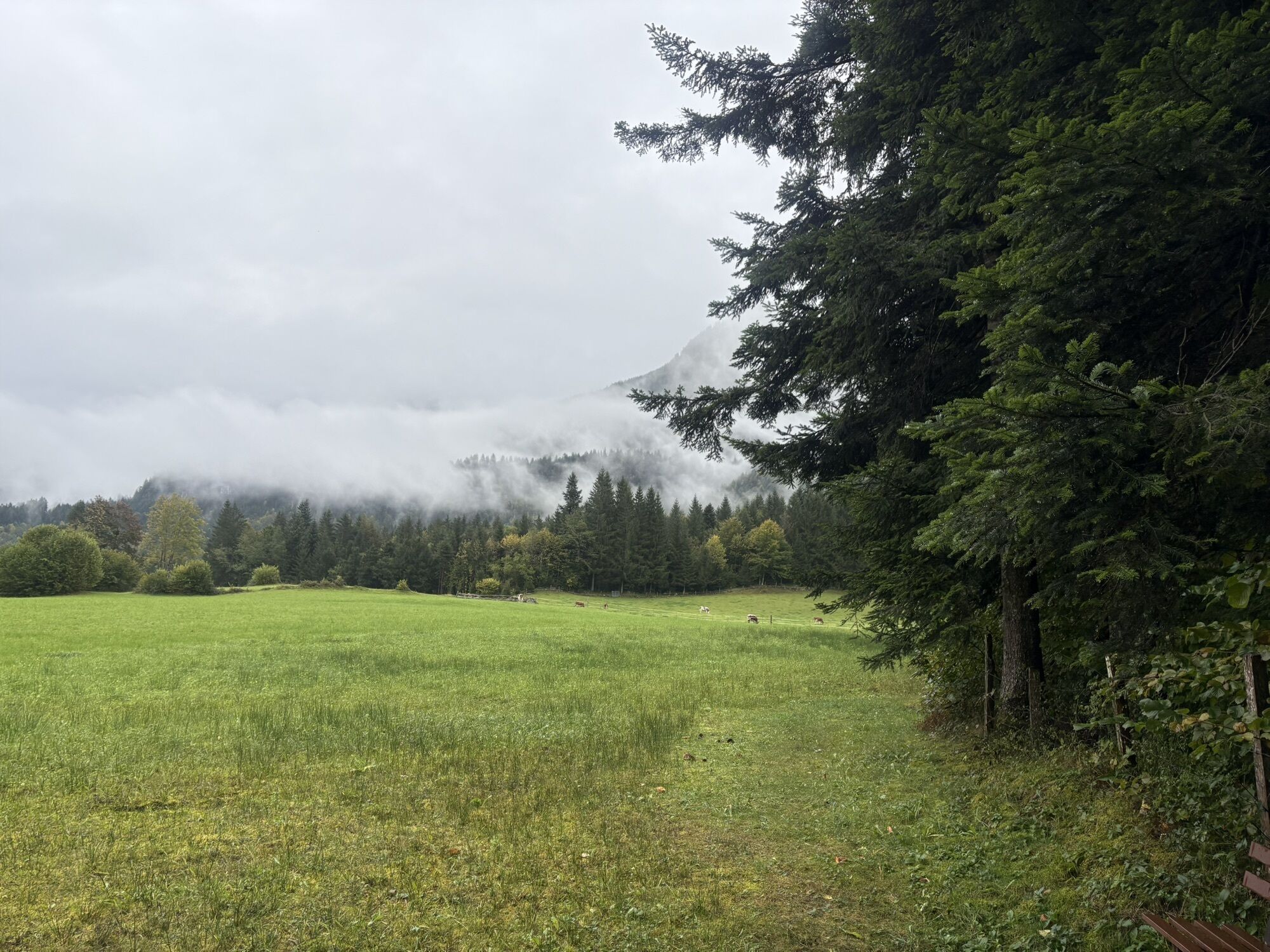
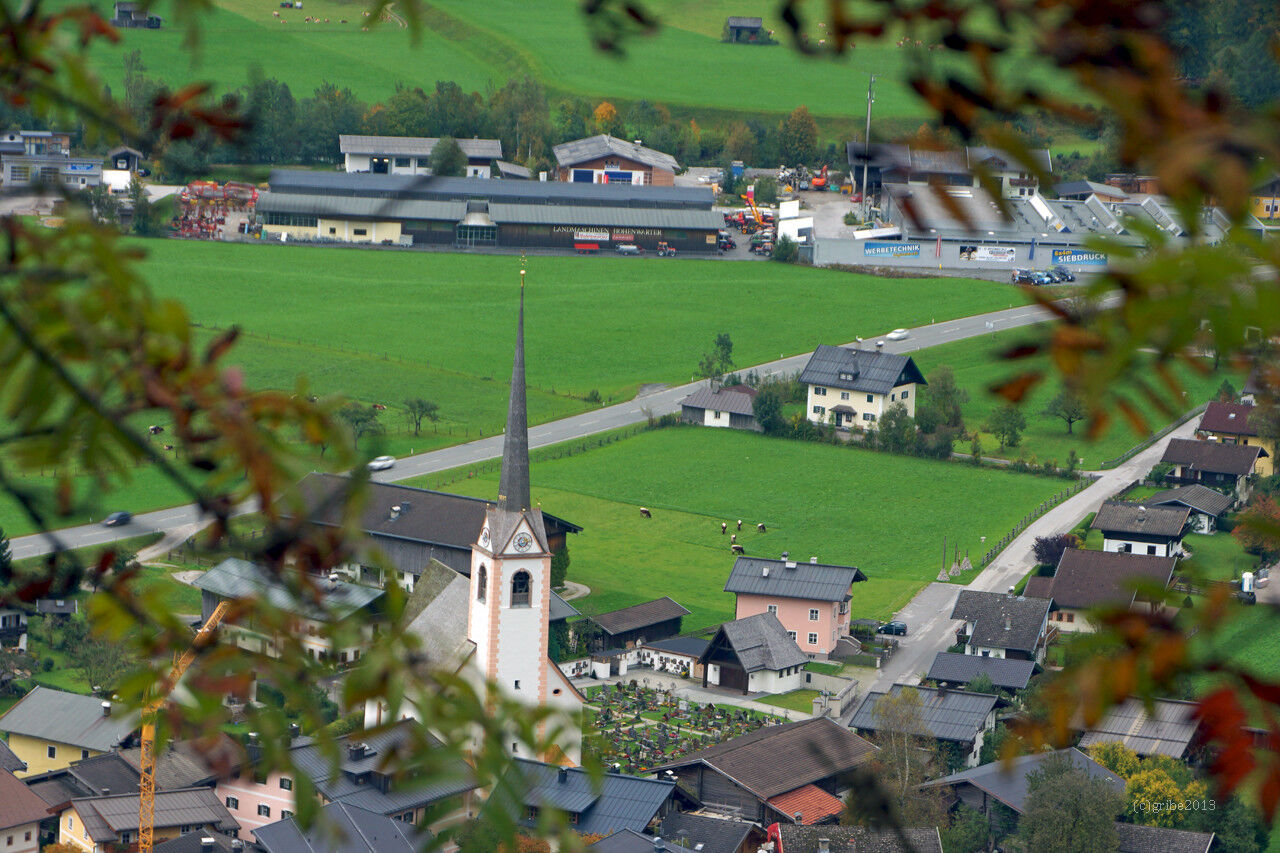
From here, you hike via the Wahpoint path into the small village of Au with the beautiful Auer Kircherl (a visit is worthwhile). Past the church, continue to the Auer Bridge – cross it and hike along the Triftsteig, always along the Saalach River, back to Lofer.
Approx. 4.5 hours walking time.
Clothing: Comfortable hiking shoes, breathable clothing depending on weather (T-shirt, light pants).
Equipment: Small backpack, sunscreen, hat or cap, first aid kit, mobile phone.
Supplies: Enough water, snacks (energy bars, nuts, dried fruits).
Navigation aids: Map or hiking app, compass (optional).
Others: Light pocket knife or multitool, insect repellent (if needed).
As needed: Rain jacket, sunglasses.
Make sure you prepare according to the length of the hike, weather conditions, and your personal comfort.
The Salzburger Steig is currently closed: Dodge on the Tiroler Steig.
Via the B311 or B178 to the center of Lofer (arrival)
Parking is possible directly at the valley station of the Loferer Alm cable car or at the large parking lot near the Salzburger Saalachtal Tourist Association.
Trekking tour on the Route of the Gorges: Lofer - Loferer Alm - Unken - Reith - St. Martin - Weißbach - Lofer. 7 overnight stays - 6 hiking days Hiking from place to place, luggage is transported daily and awaits you at the destination.
When booking the package deal, we can ensure that accommodations for 1 night are available in the different locations.
Maria Kirchental - the Pinzgau Baroque cathedral - is a popular pilgrimage church in St Martin near Lofer. Also known for the large votive panel collection.
Popularne wycieczki w okolicy
- 4,5
Wimbachgrieshütte
Wędrówka 8,30 km - 4,3
Halsalm
Wędrówka 6,43 km - 4,9
Ramsau/Hintersee-Runde
światłoWędrówka 9,44 km - 4,8
Atemberaubende Aussicht auf dem Dürrnbachhorn
średniWędrówka 8,44 km - 4,7
Loferer Steinberge, zum Hinterhorn über die Schmid-Zabierow Hütte, 19.06.22
ciężkiWędrówka 14,0 km - 4,2
Passauer Hütte
ciężkiWędrówka 4,14 km - 4,5
Seisenberg Gorge
światłoWędrówka 2,41 km - 4,7
Over the waterfall trail into the Almenwelt Lofer
średniWędrówka 3,29 km - 4,6
Birnbachloch Leogang, Österreich
średniWędrówka 5,18 km - 4,5
Rundweg vom Hintersee zur Halsalm
średniWędrówka 9,53 km
Wędrówki i tropienie


Nie przegap ofert i inspiracji na następne wakacje
Twój adres e-mail została dodana do listy mailingowej.