


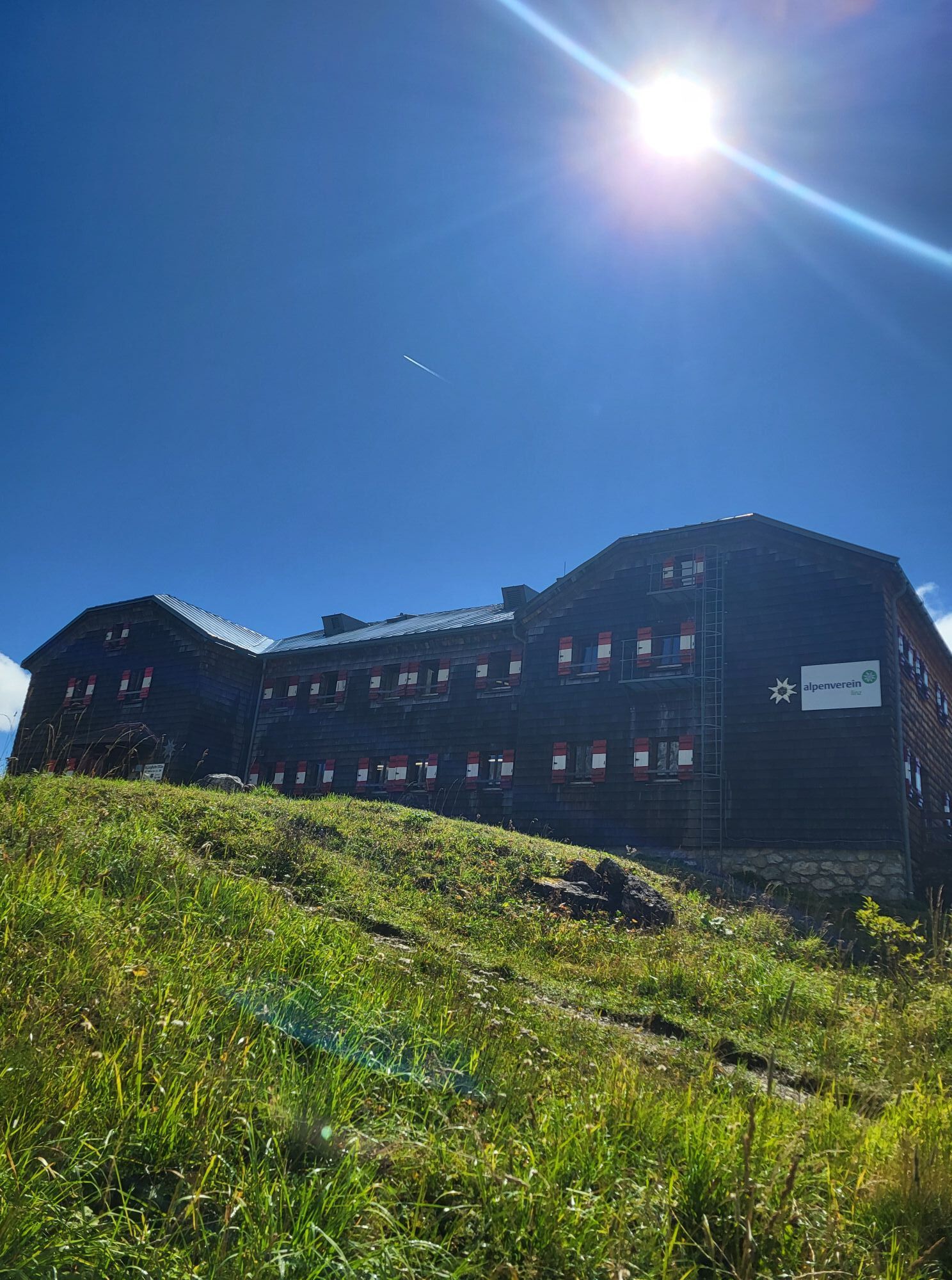
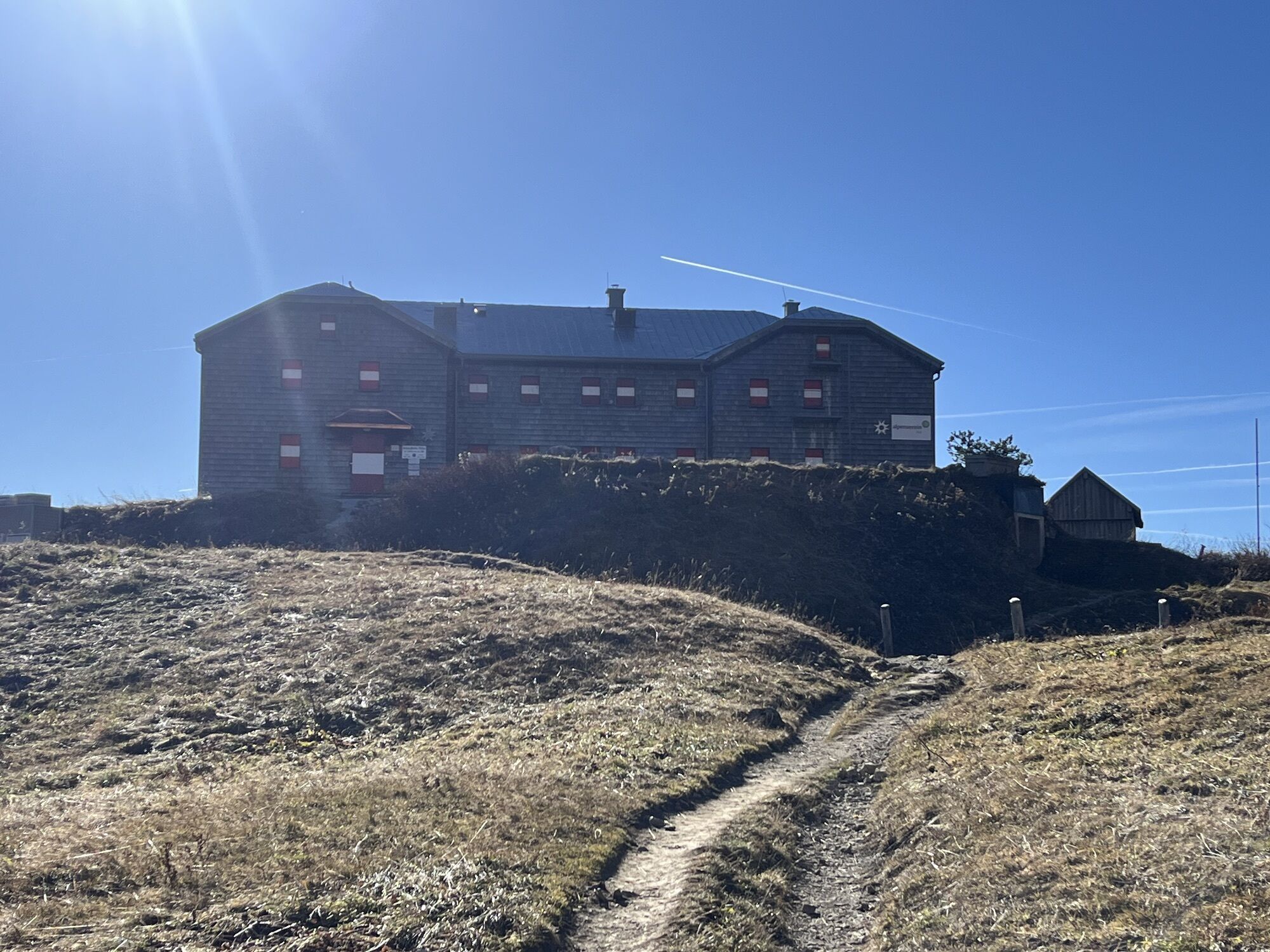
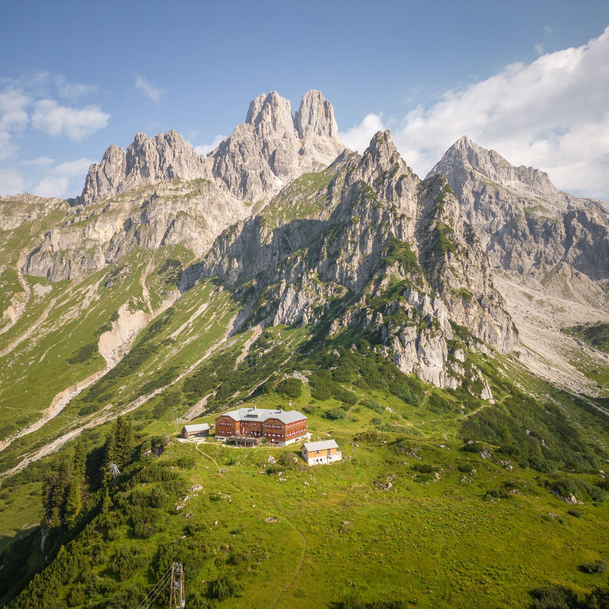
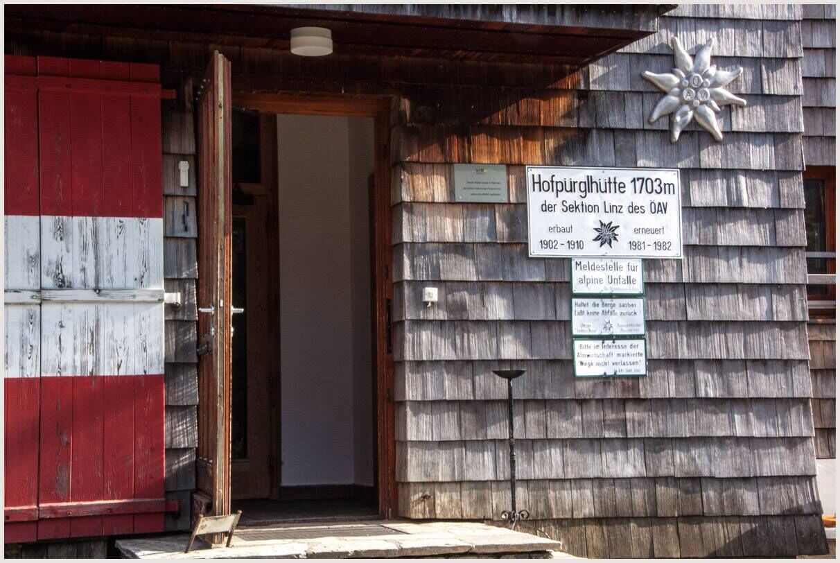
Hofpürglhütte
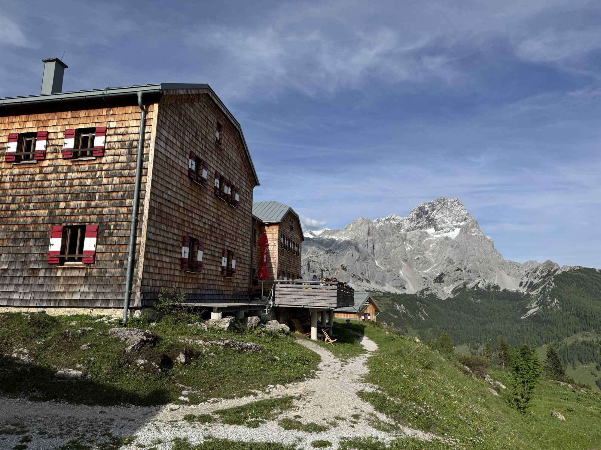
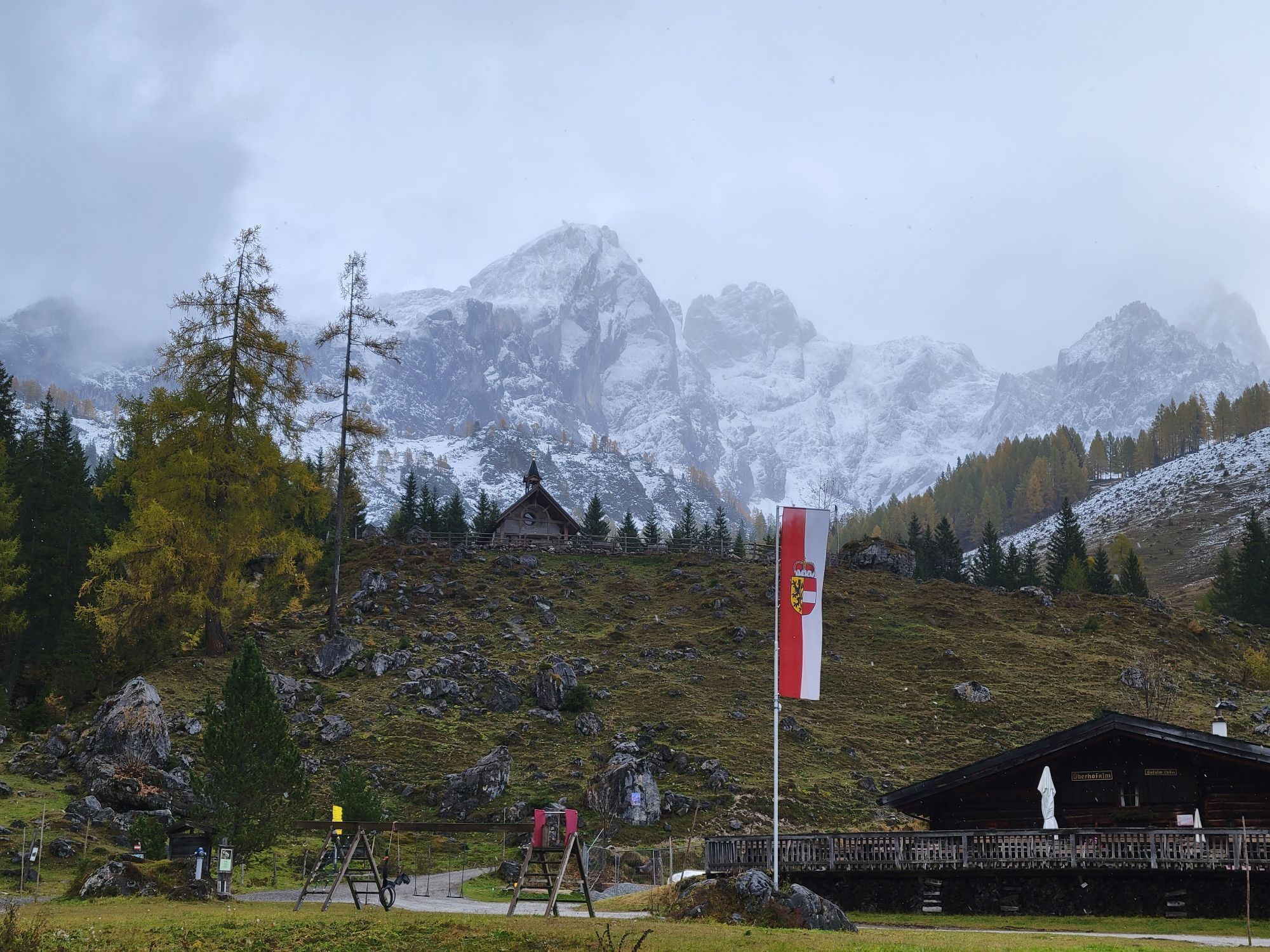
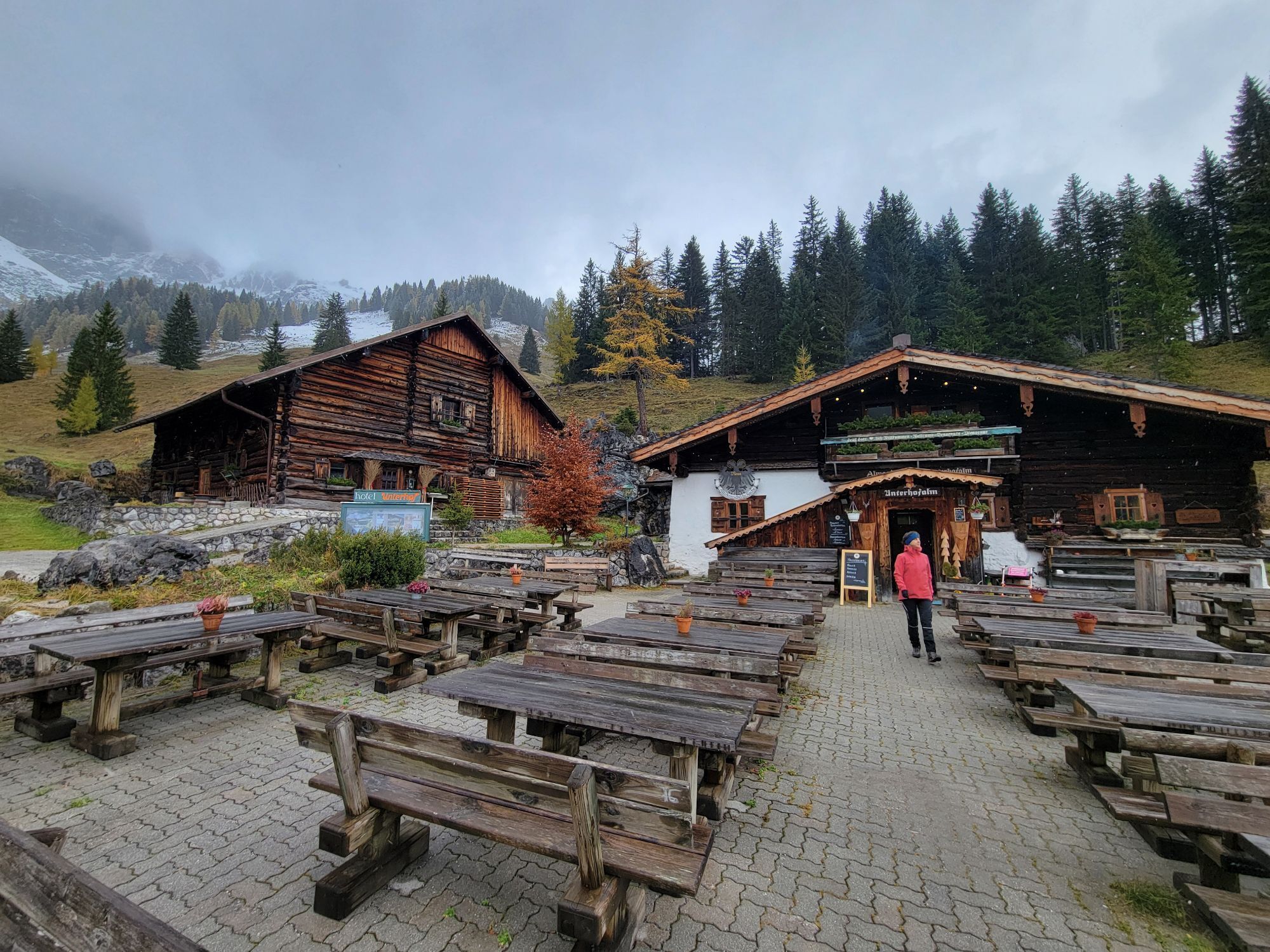
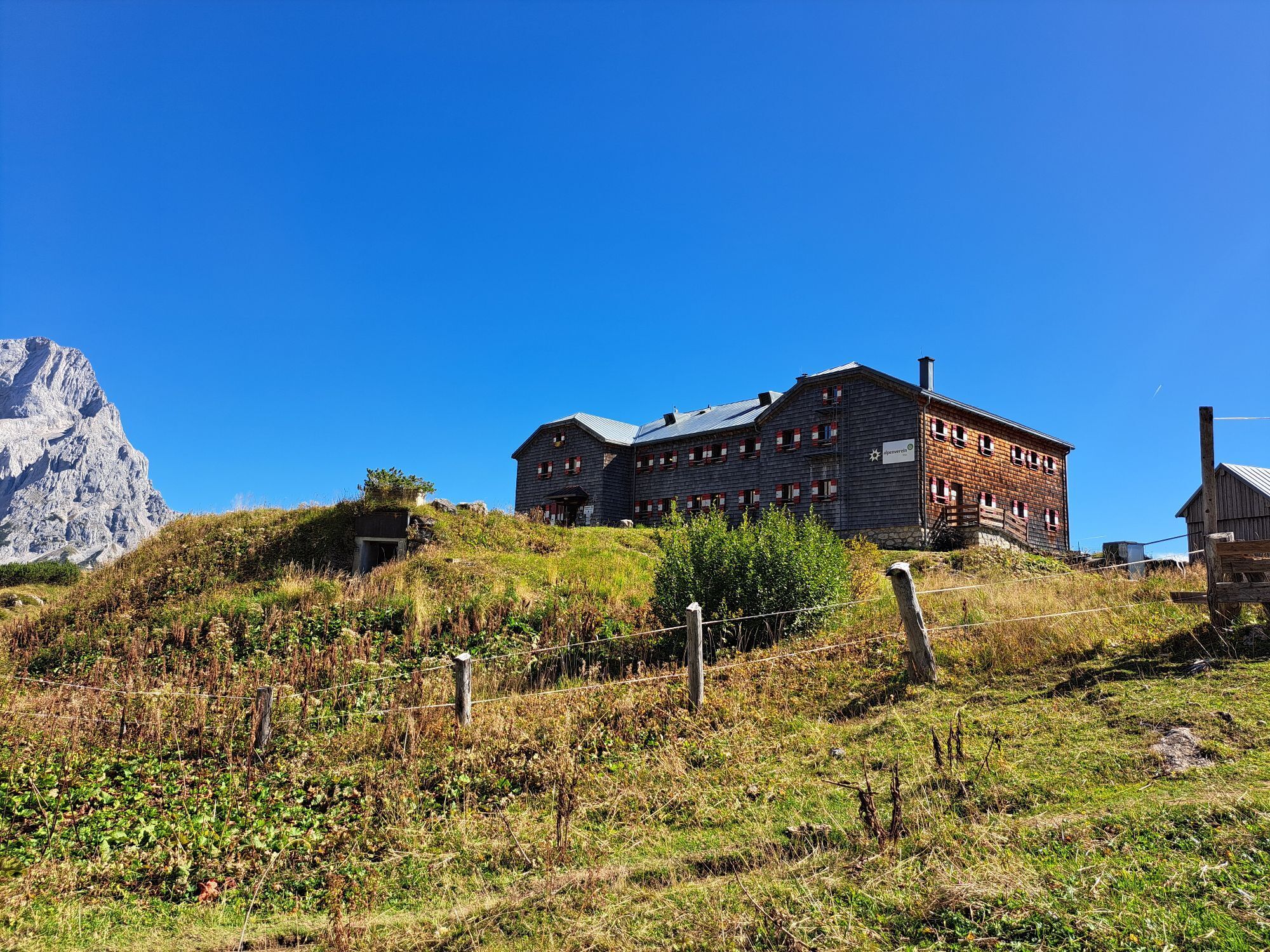

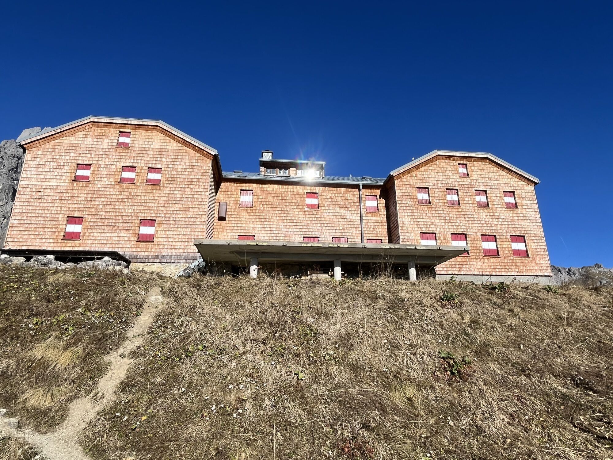
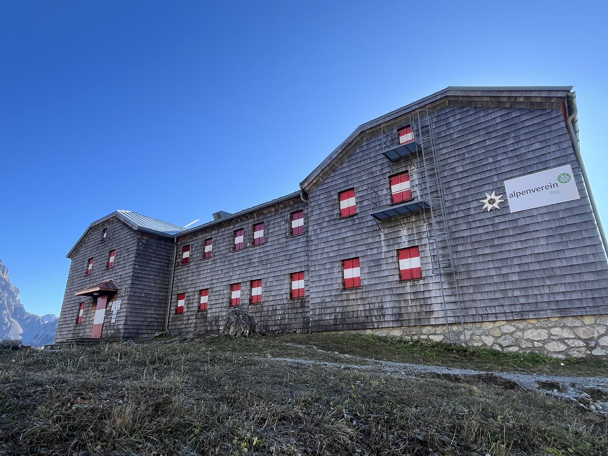
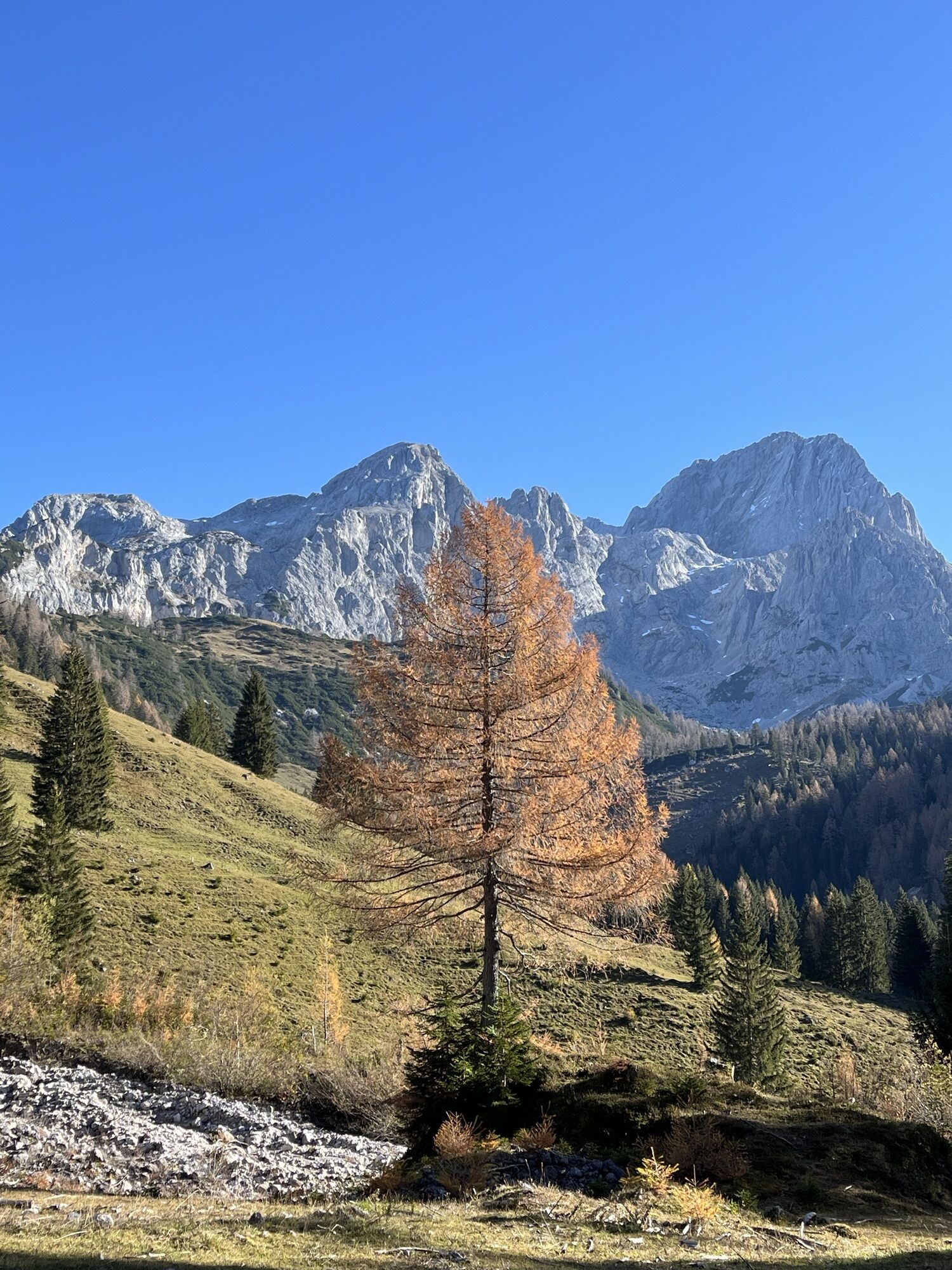
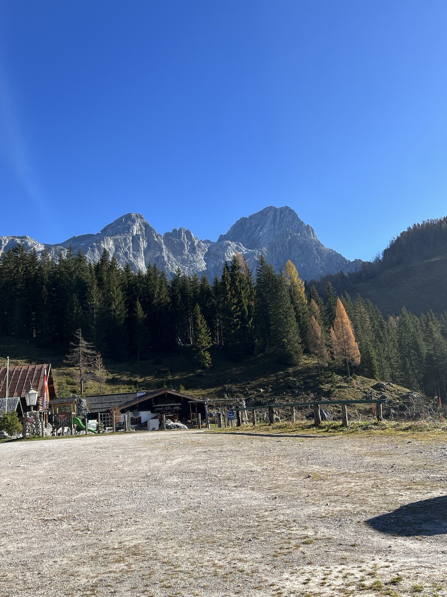
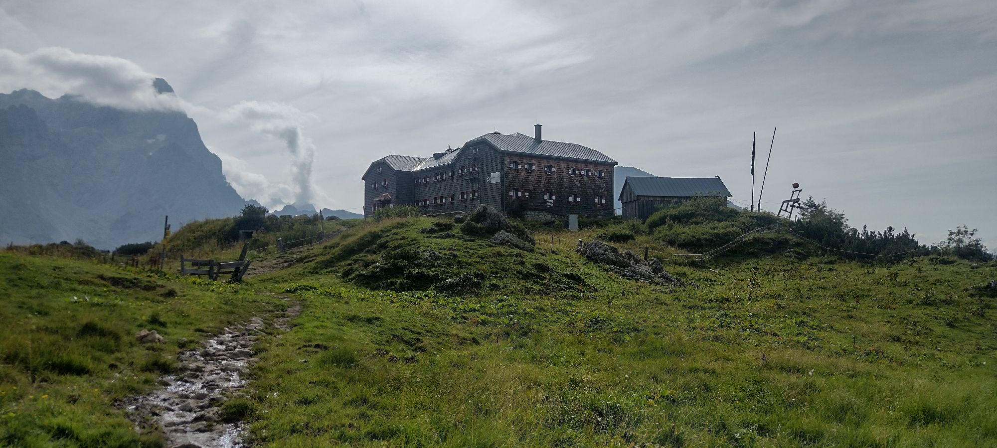
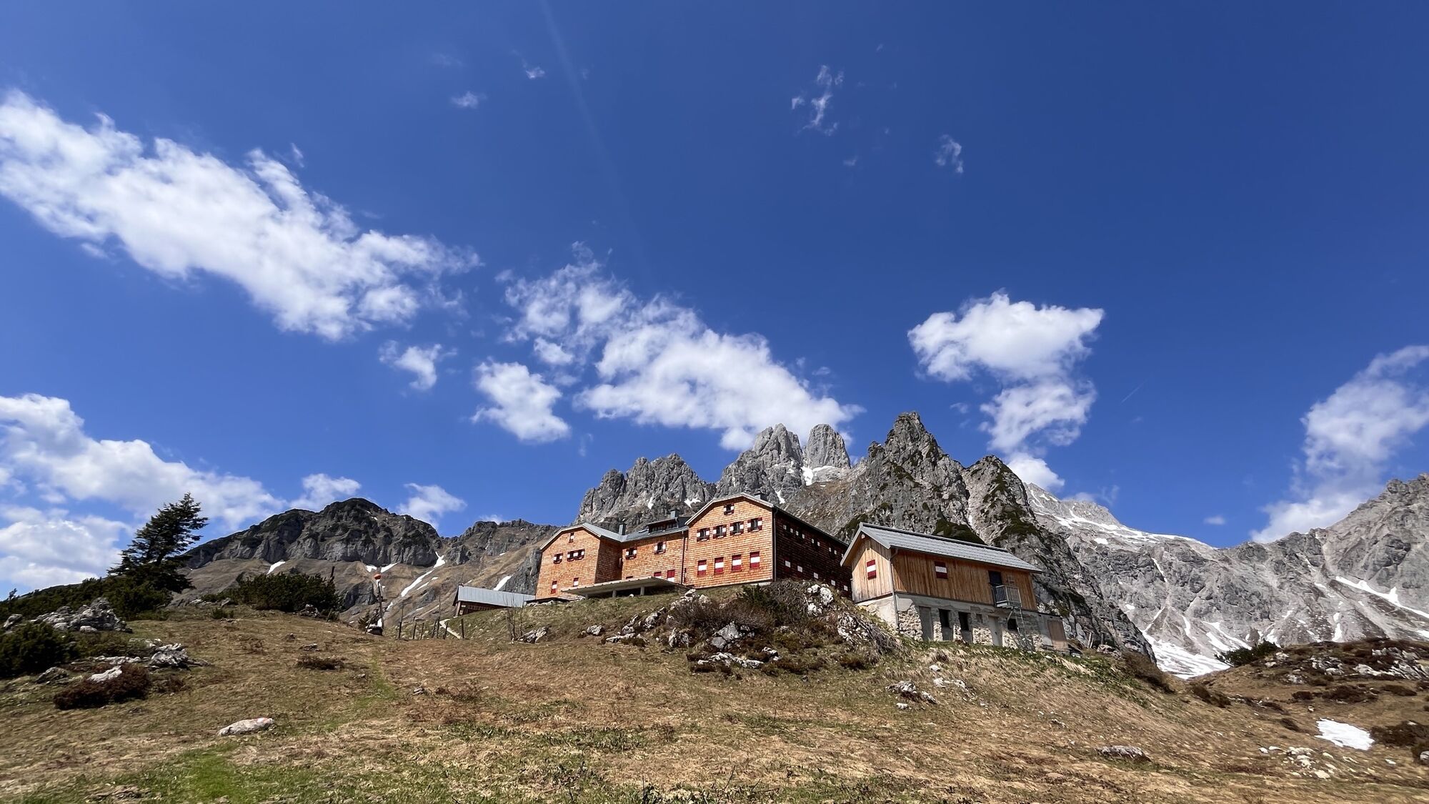
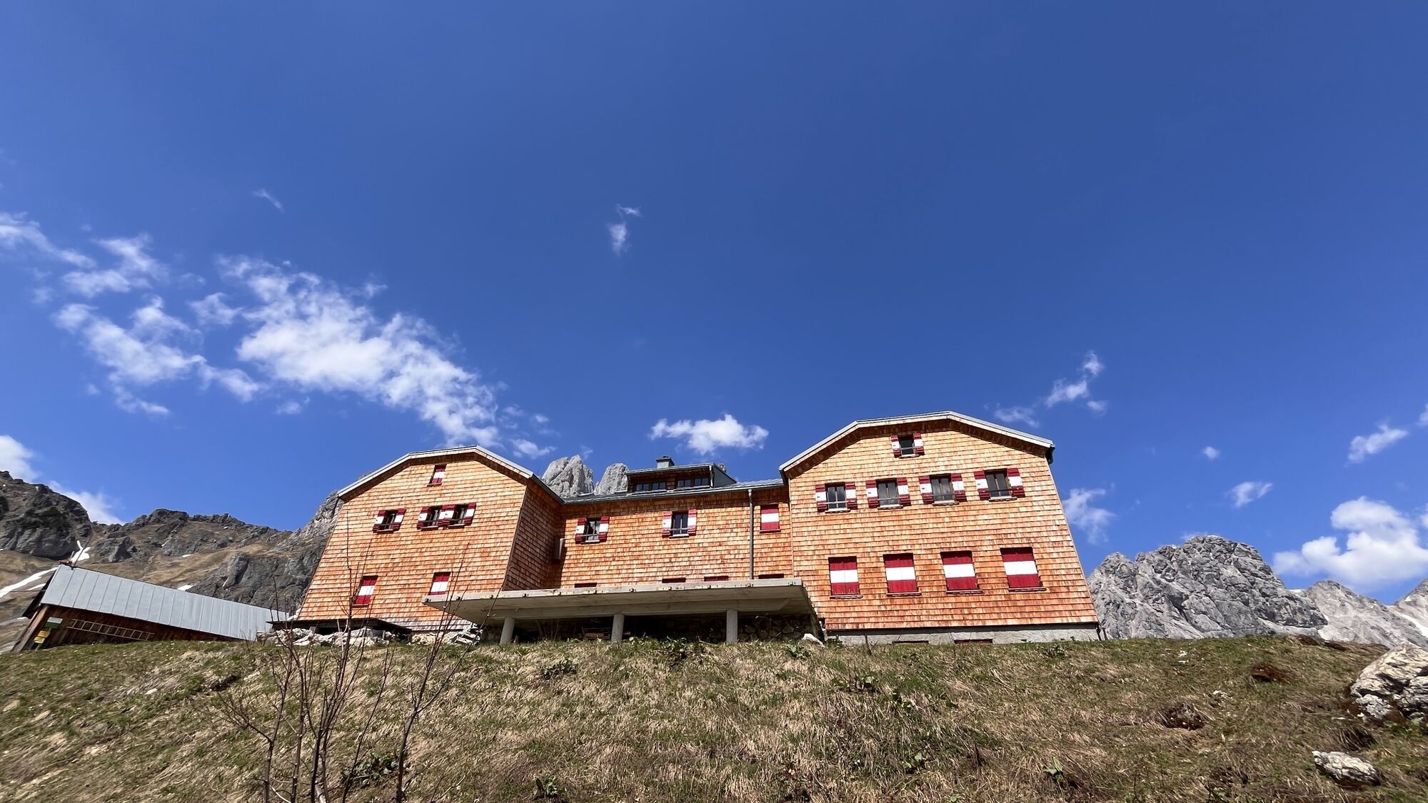
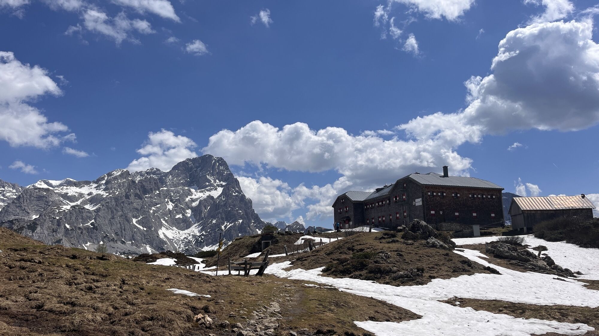
Magnificent panoramic view, shelter hut with alpine flair, natural climbing garden with all difficulty levels near the hut, bouldering room in the hut. Salzburg's largest climbing garden.

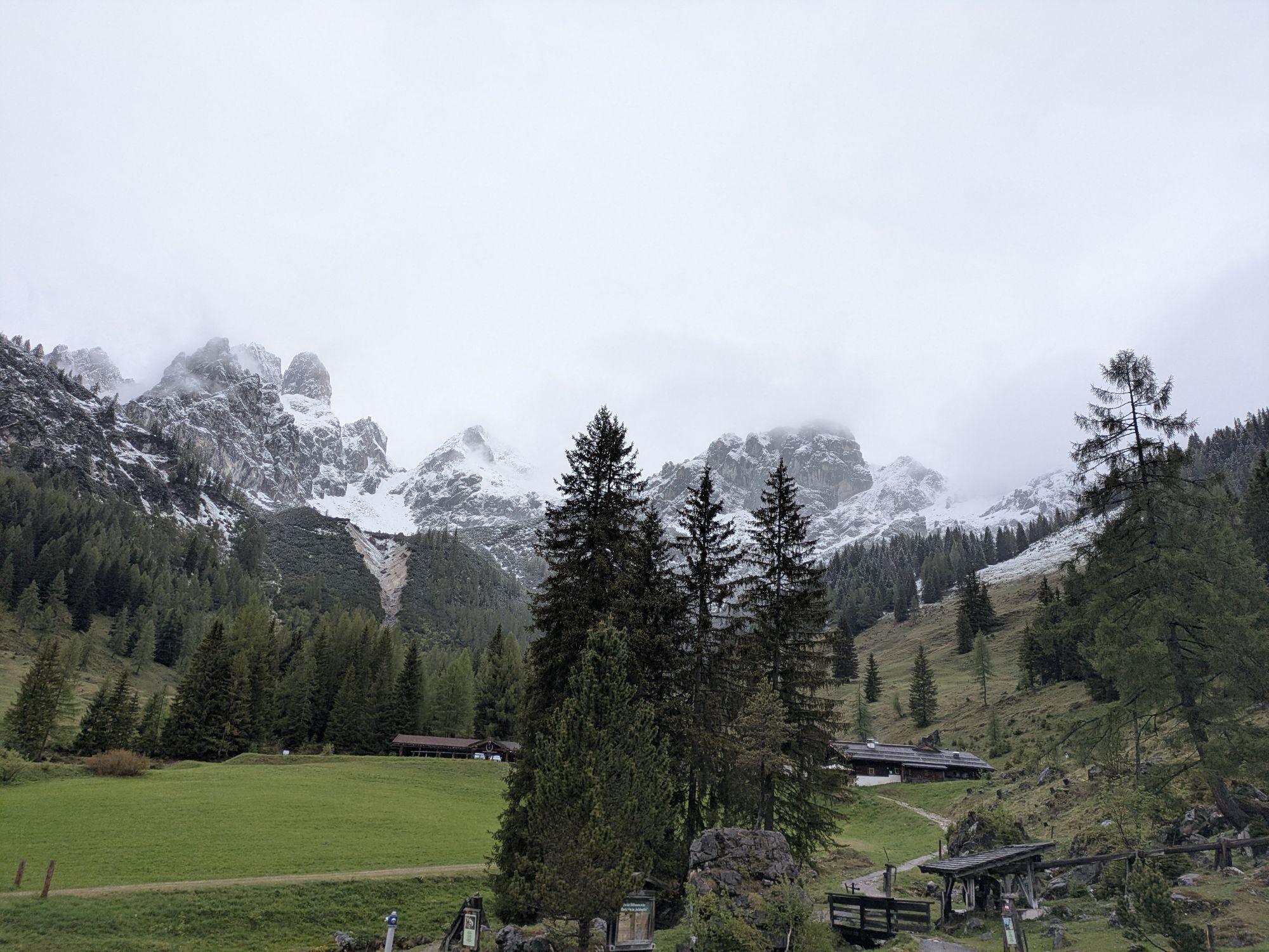
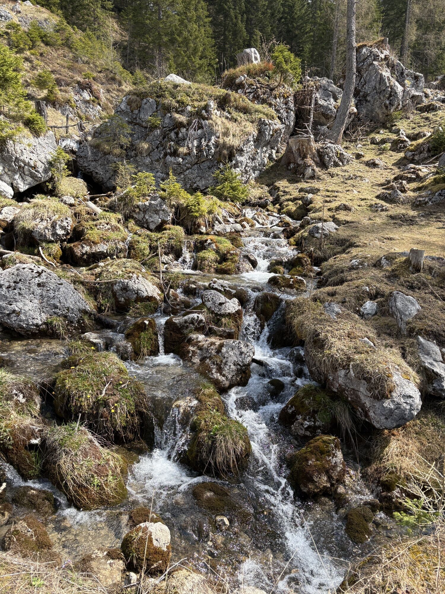
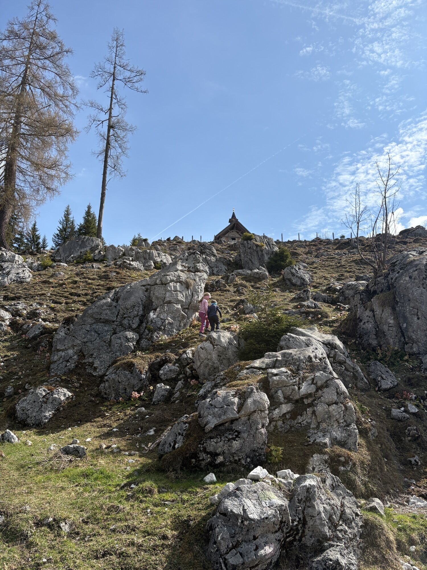
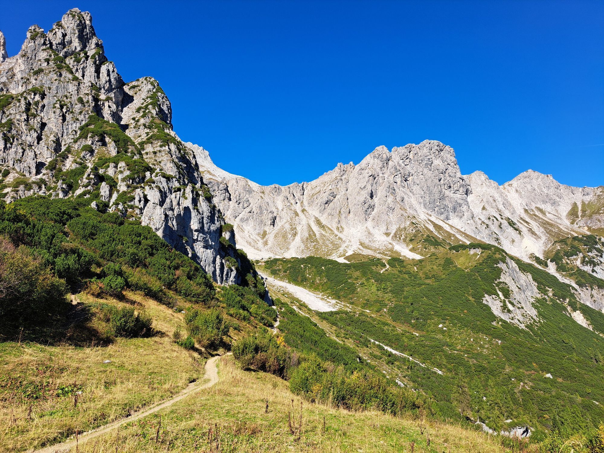
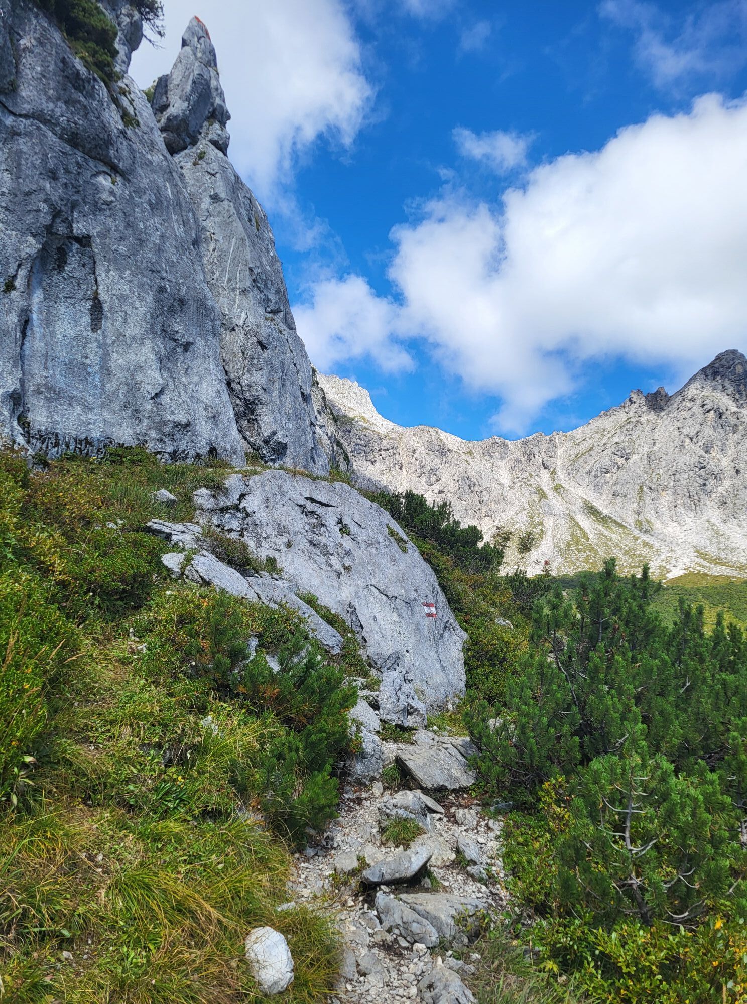
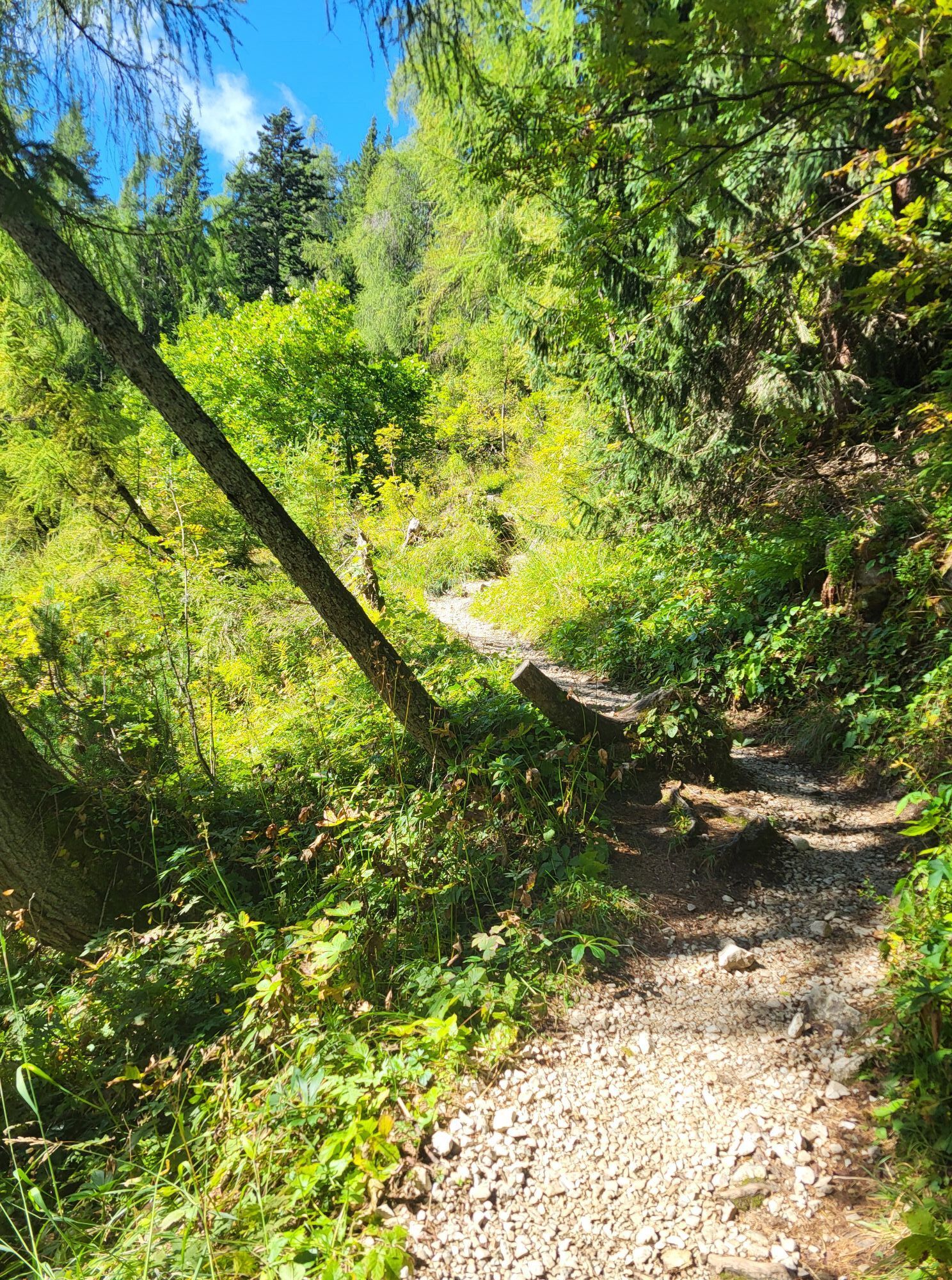
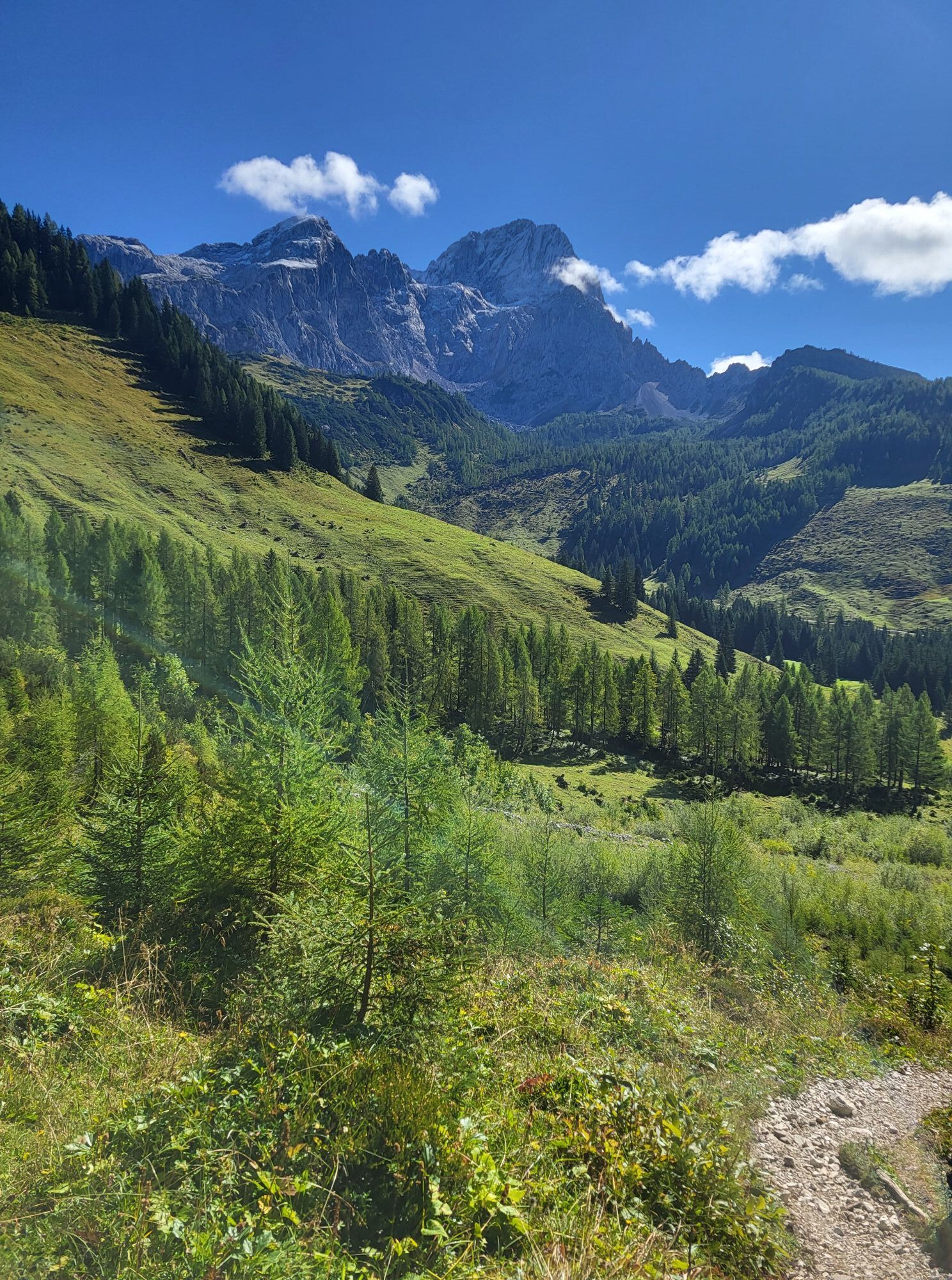
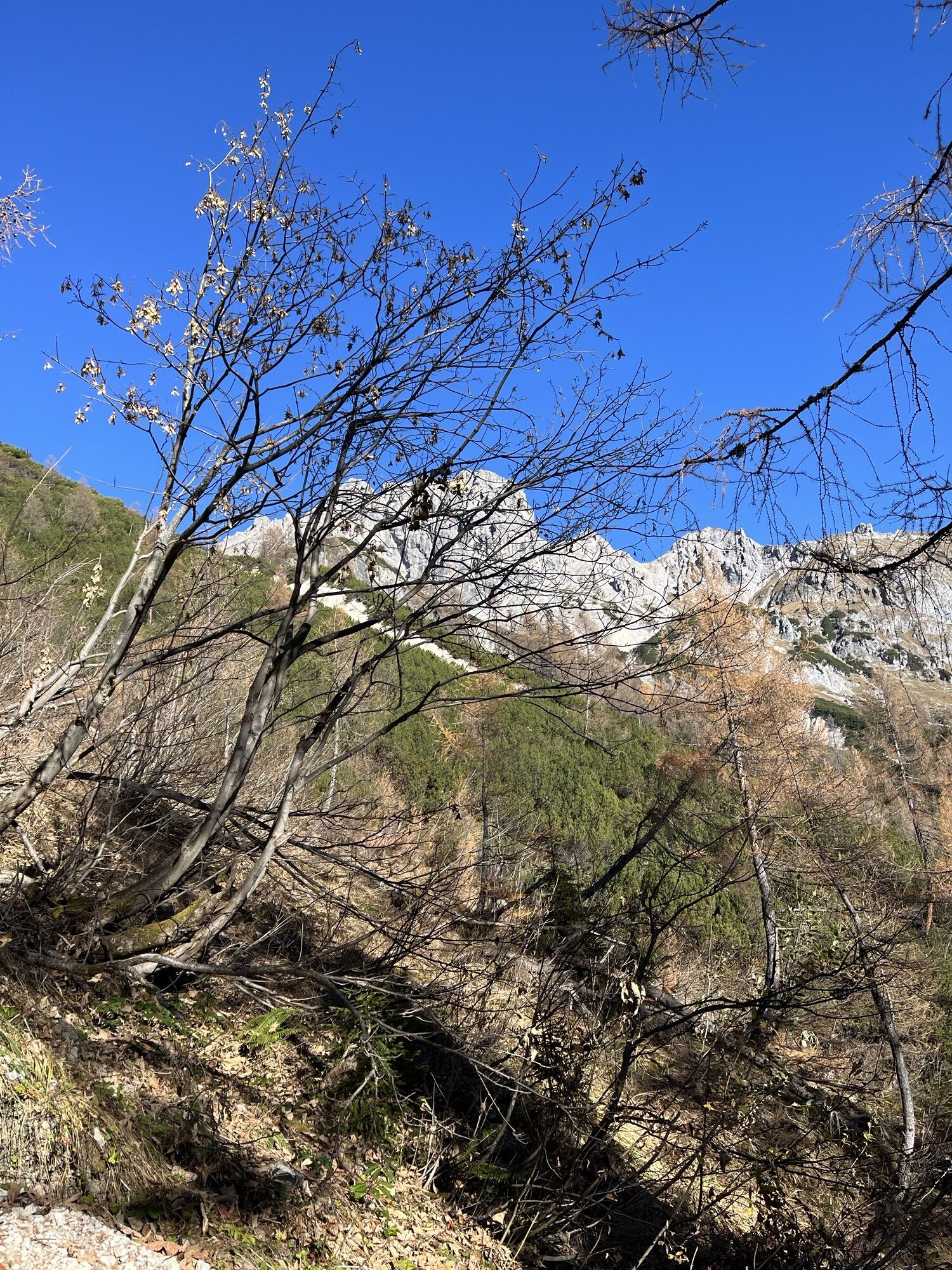
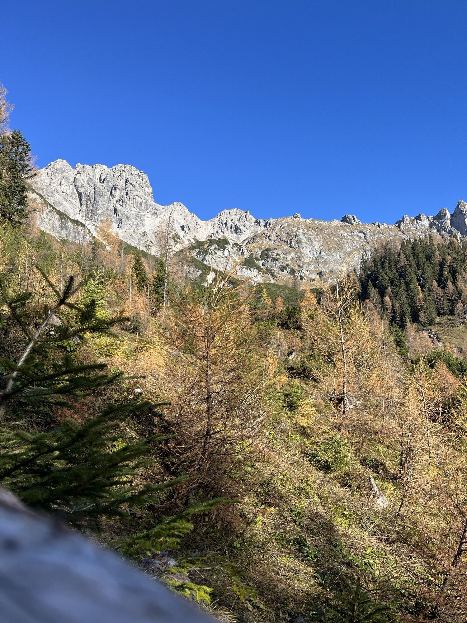
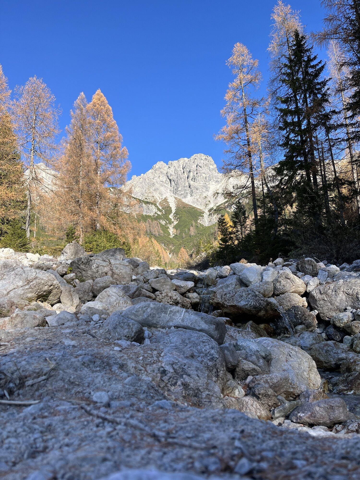
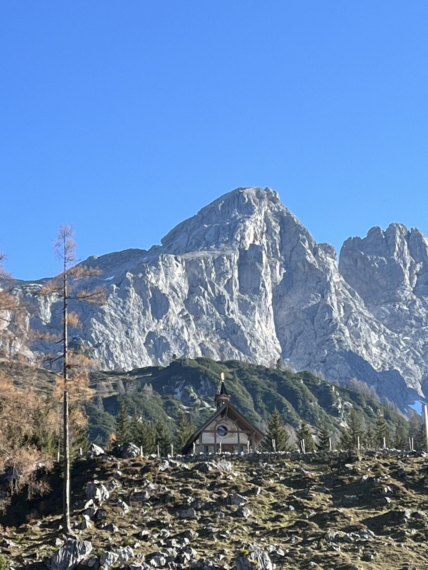
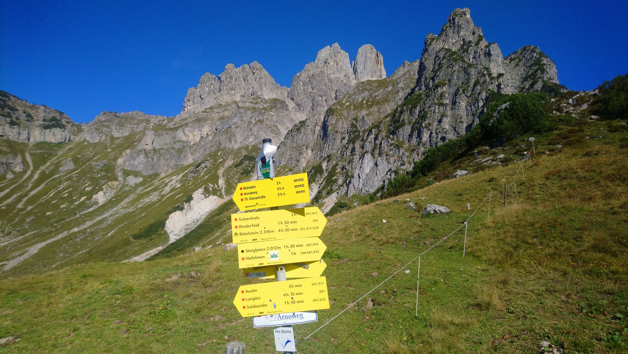
From the village square, cross the bridge to Hotel Bischofsmütze, to the left of the hotel a narrow steep path leads over Kalvarienberg (several Stations of the Cross along the path) past the Stations of the Cross Chapel (nice view of church and cemetery) through the forest on the right until you reach a road at Haus Fritzenwallner (wonderful view of Filzmoos village center). Walk along the road to Güterweg Kleinberg and turn right towards Kleinberg, directly at Kleinberg a wider path (a toboggan run in winter) moderately climbs uphill. On the right, a small forest path, the Jägersteig, branches off with a fence crossing. Follow this until you reach a forest road. Turn right and continue down to Marcheggsattel. Directly at Marcheggsattel, a small path branches steeply uphill through overgrown terrain into the high forest to Wiesenhöhe, a small raised bog. Alpine Club Trail no. 634.
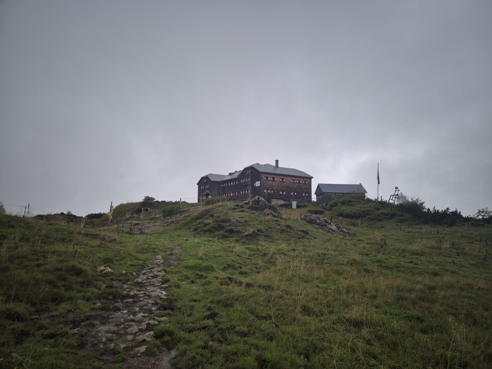
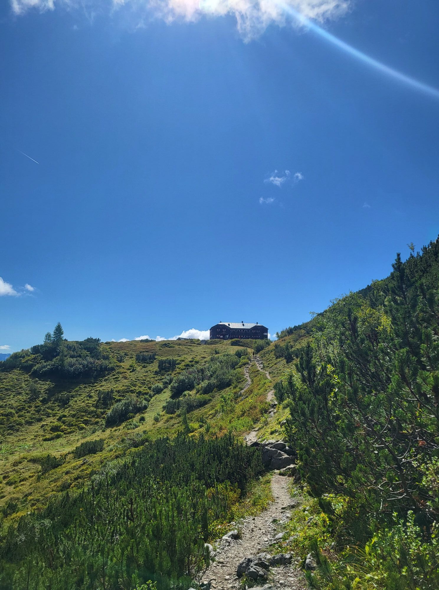
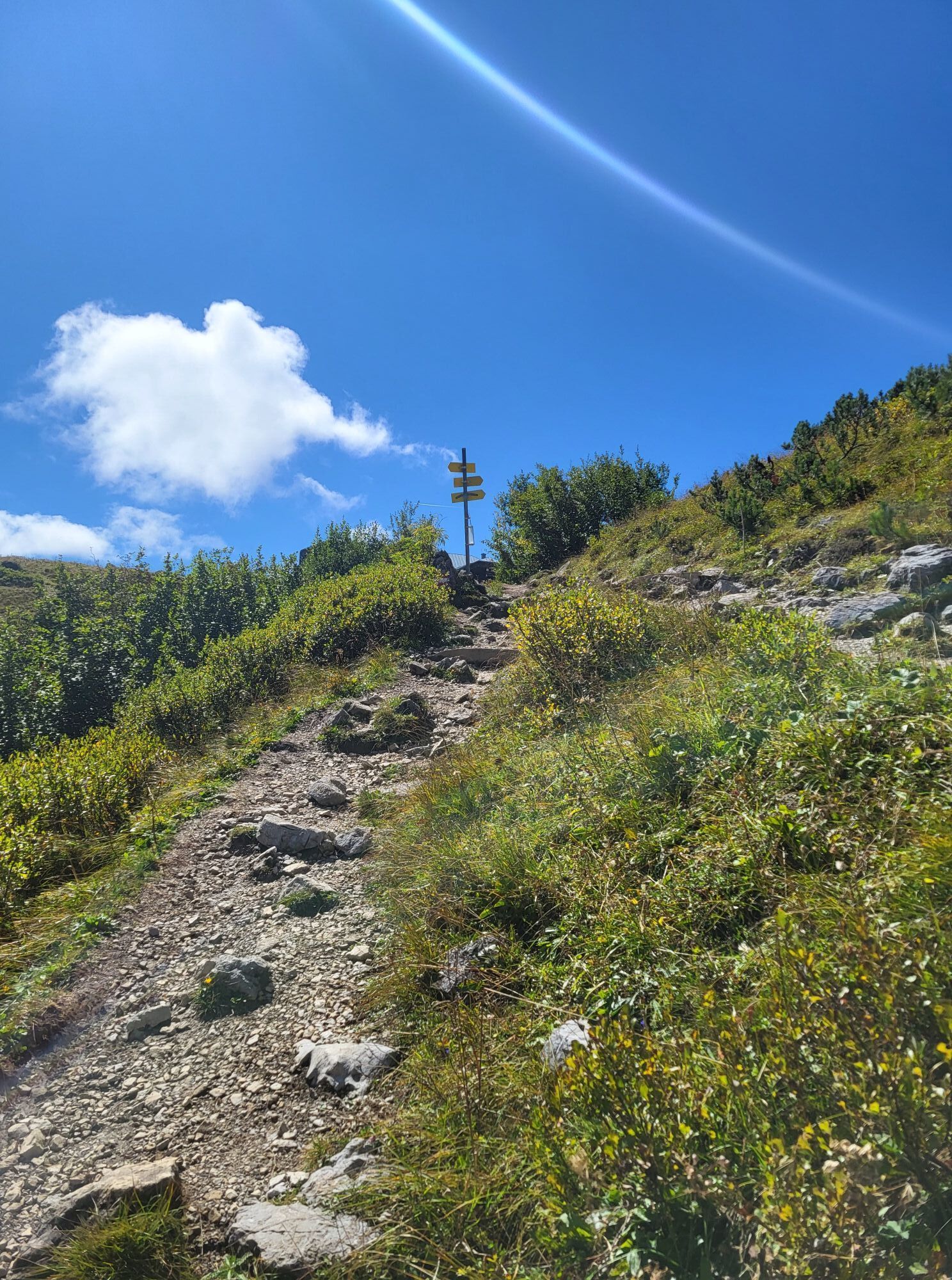
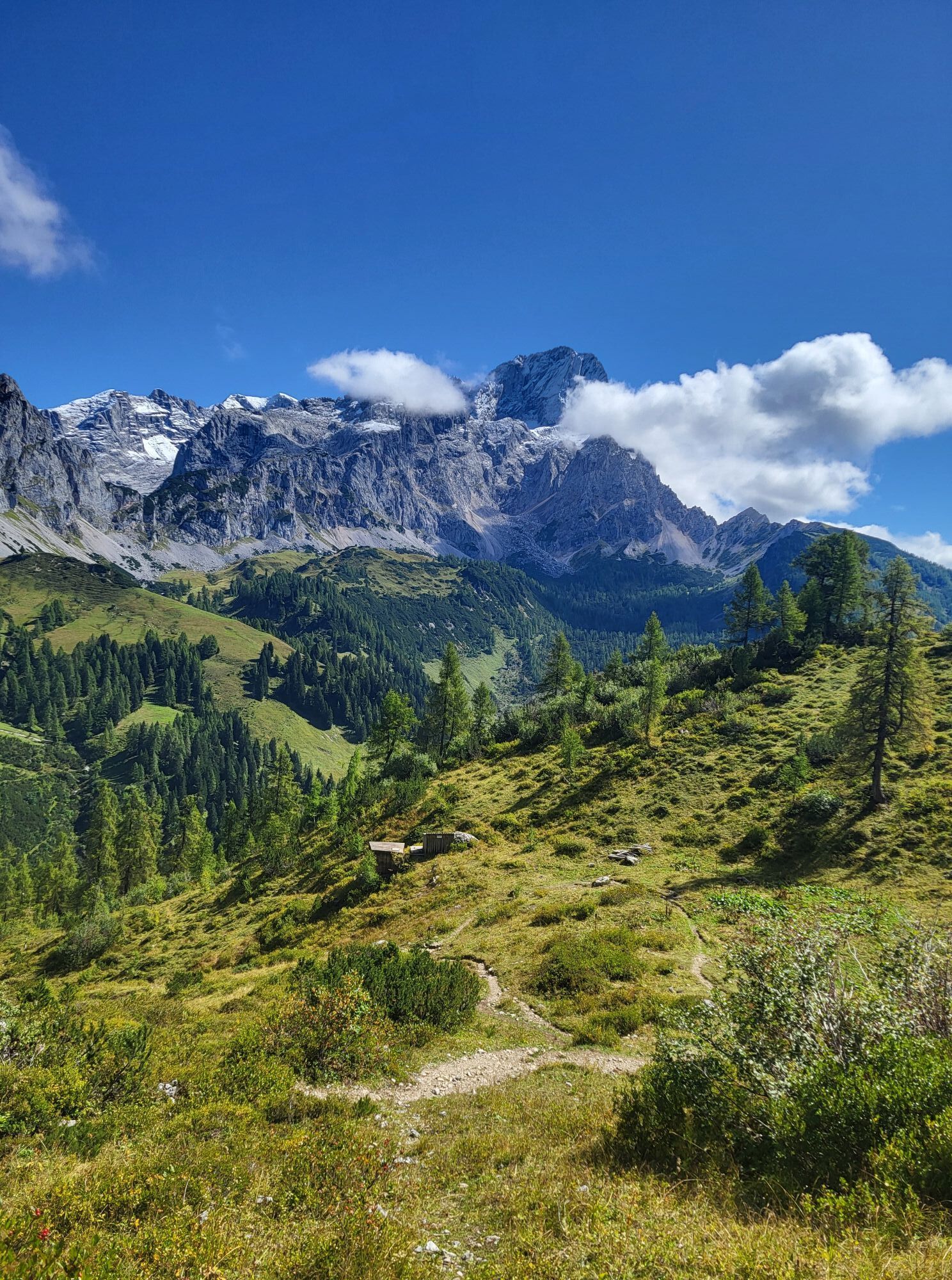
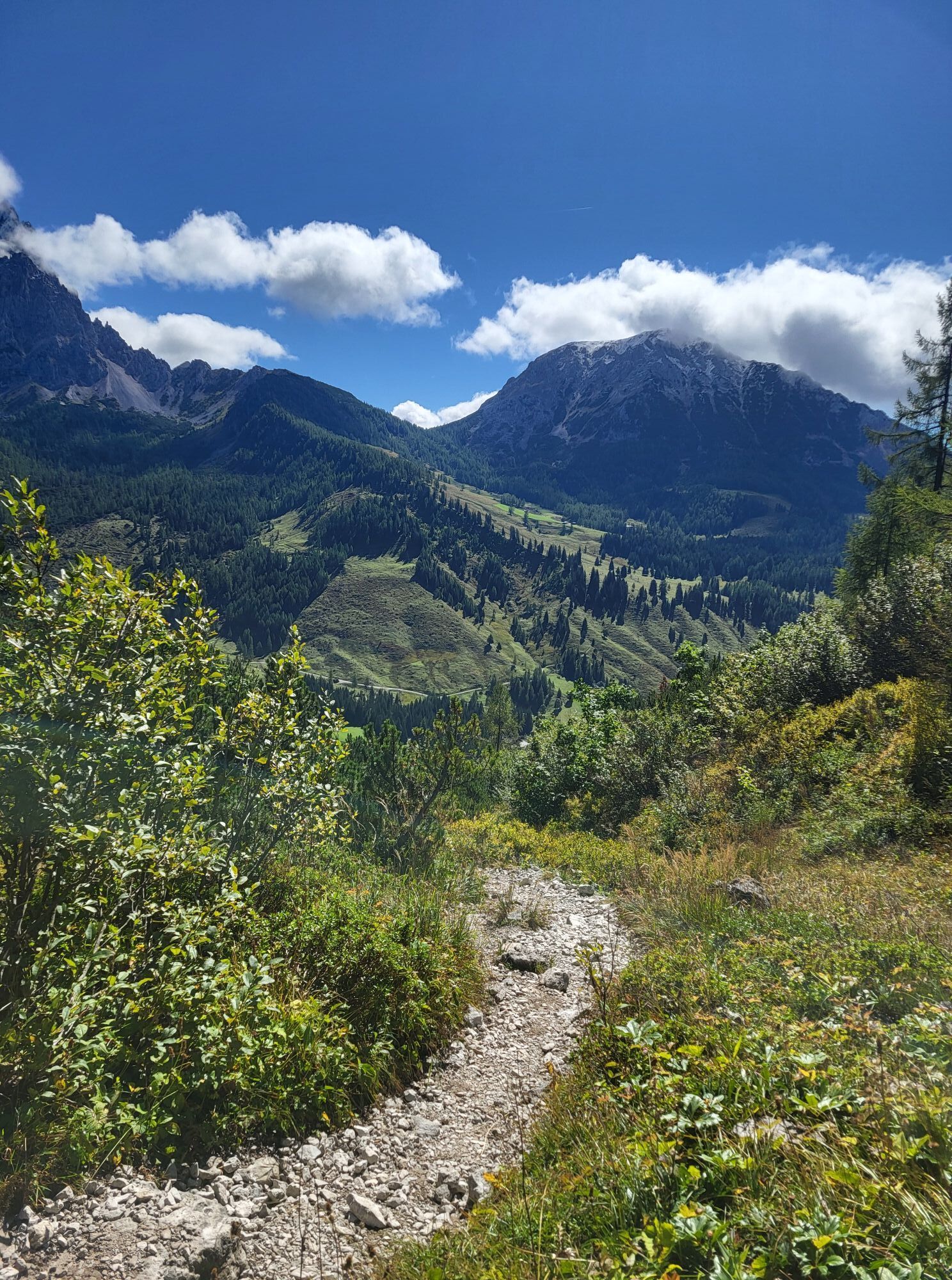
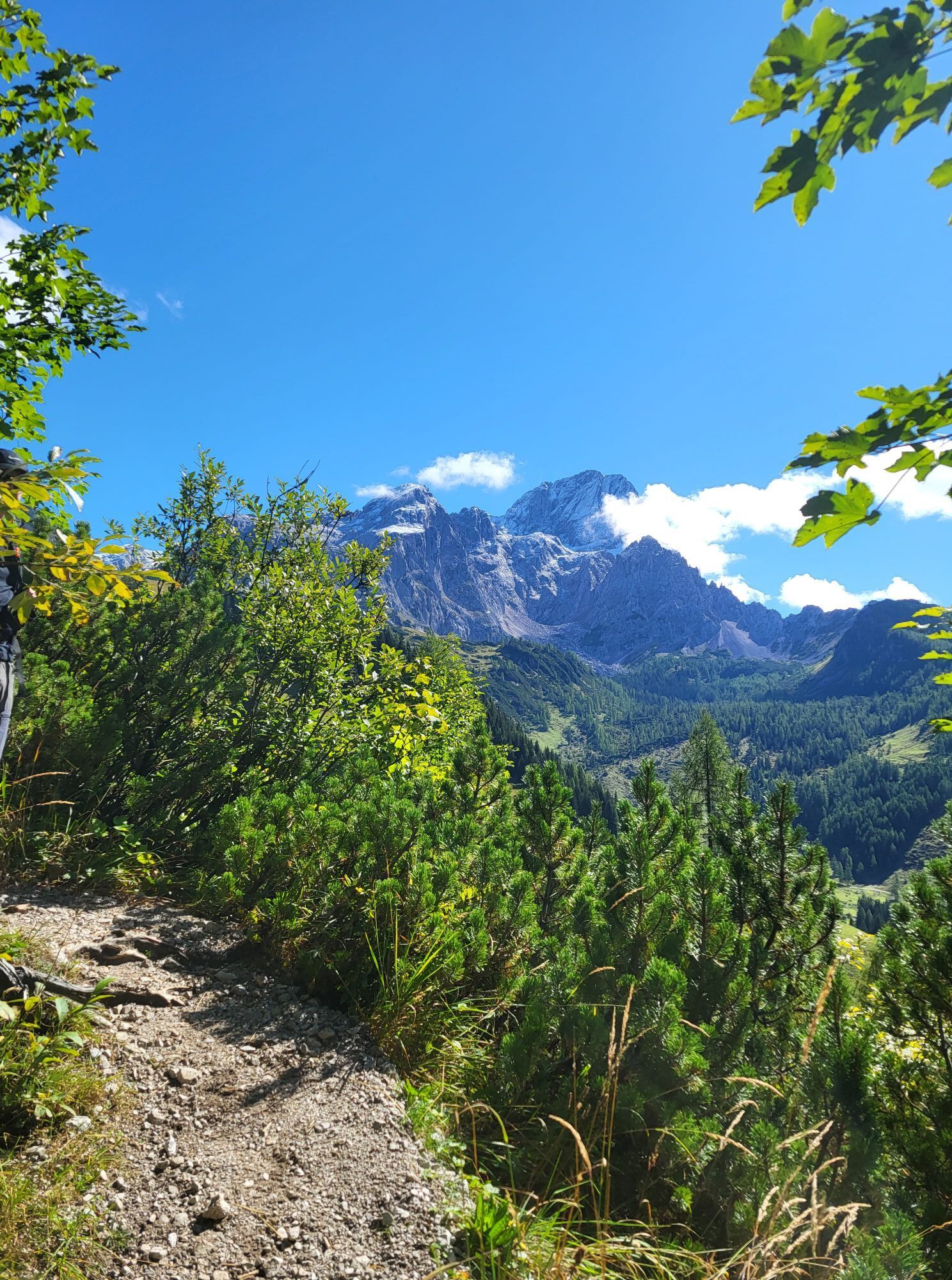
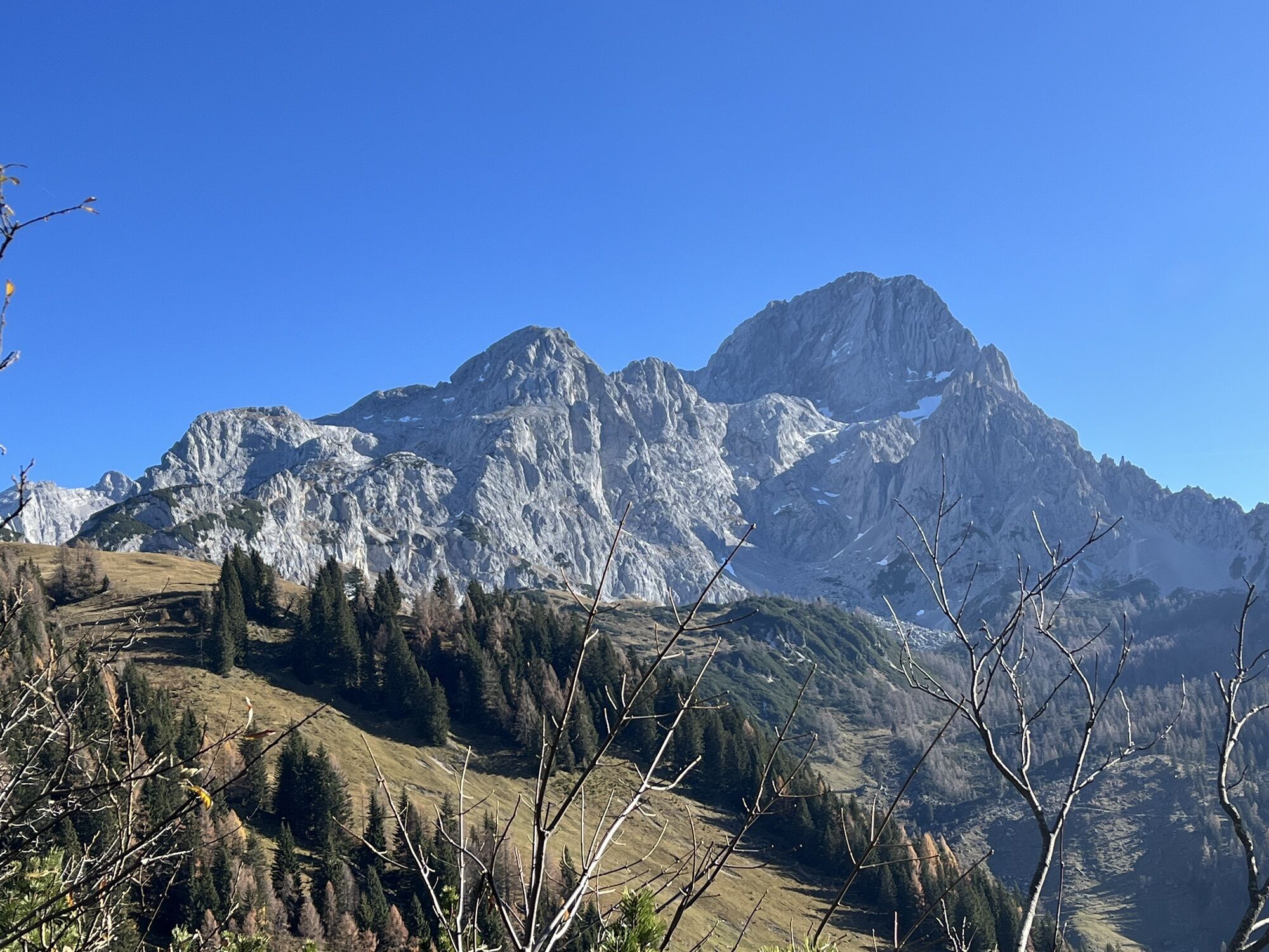
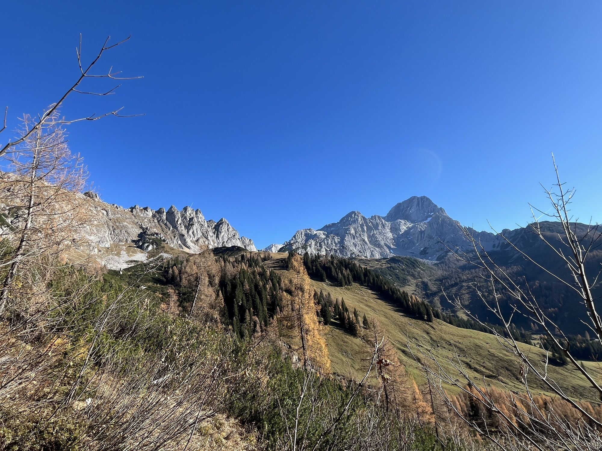
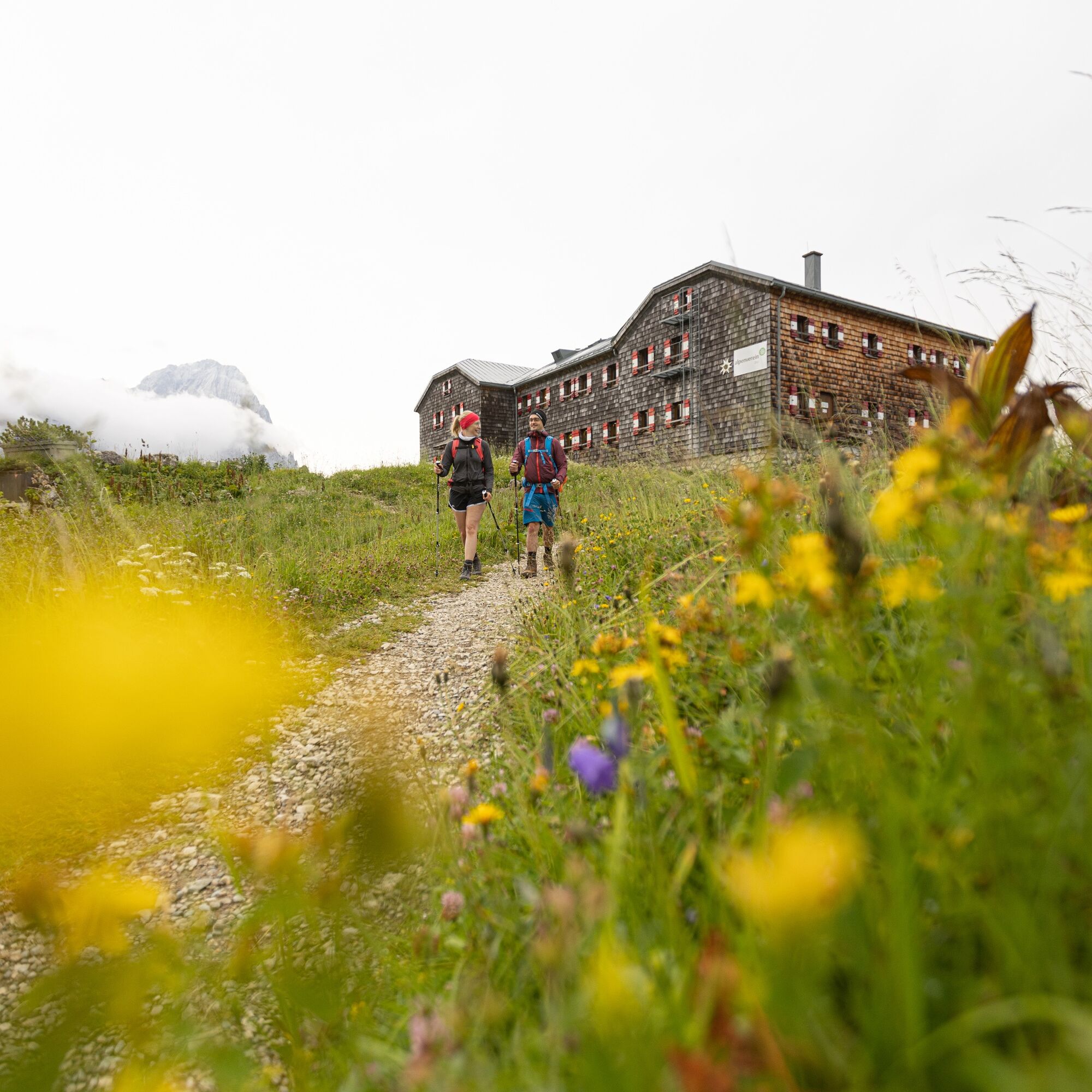
From Wiesenhöhe, a zigzag path, partially over rocky terrain, leads steeply uphill until Hofpürglhütte appears before you. (Walking time from Marcheggsattel: approx. 2 hours)
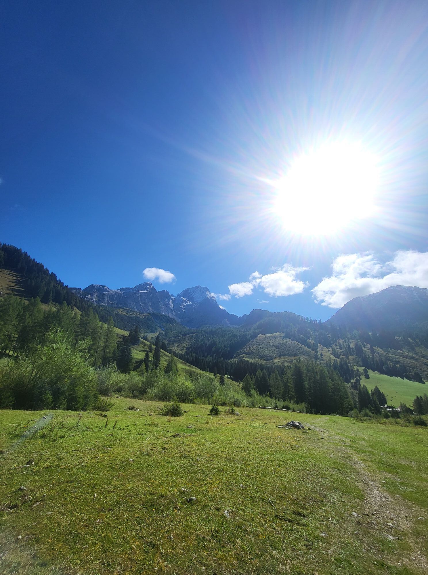
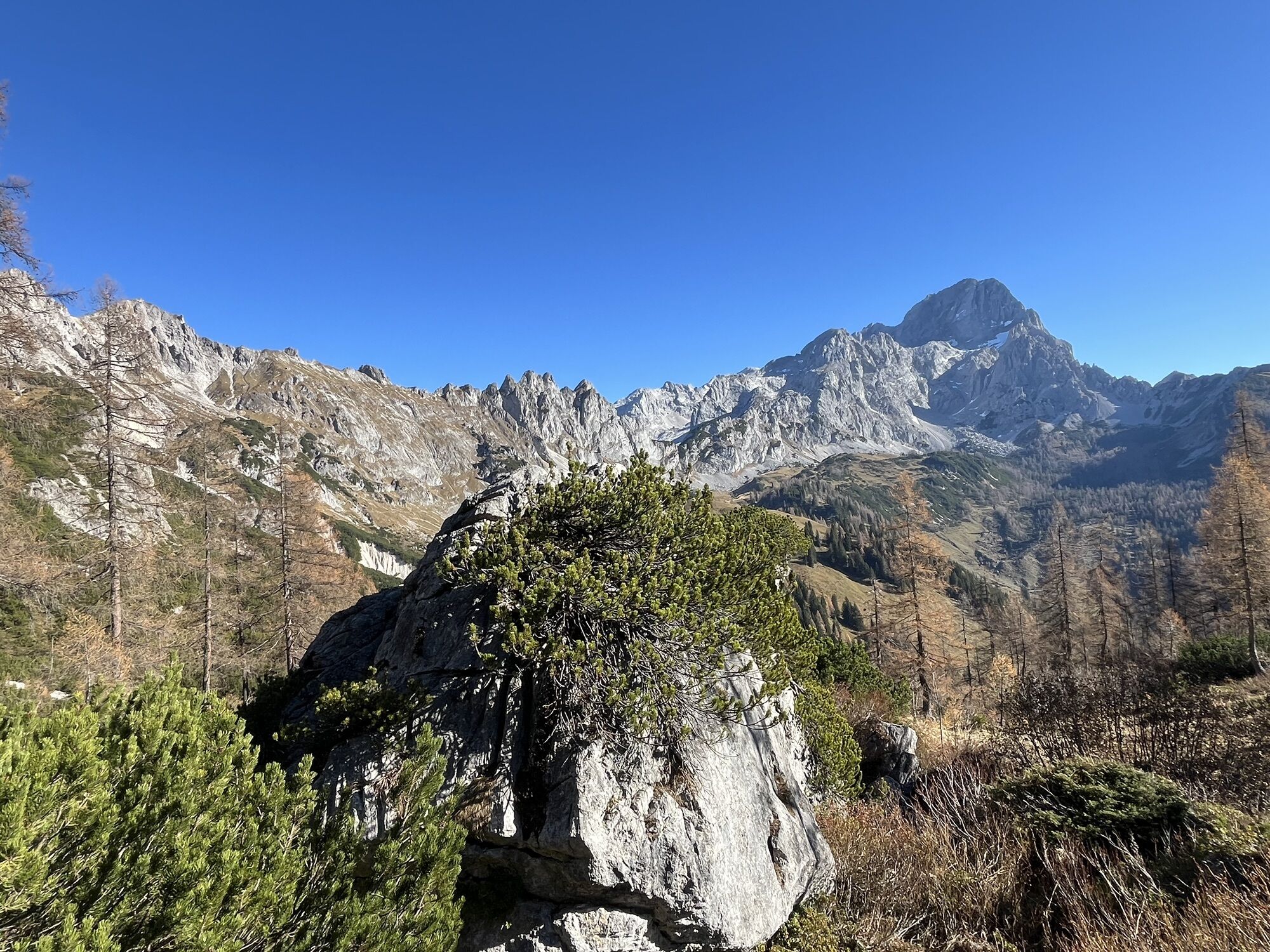
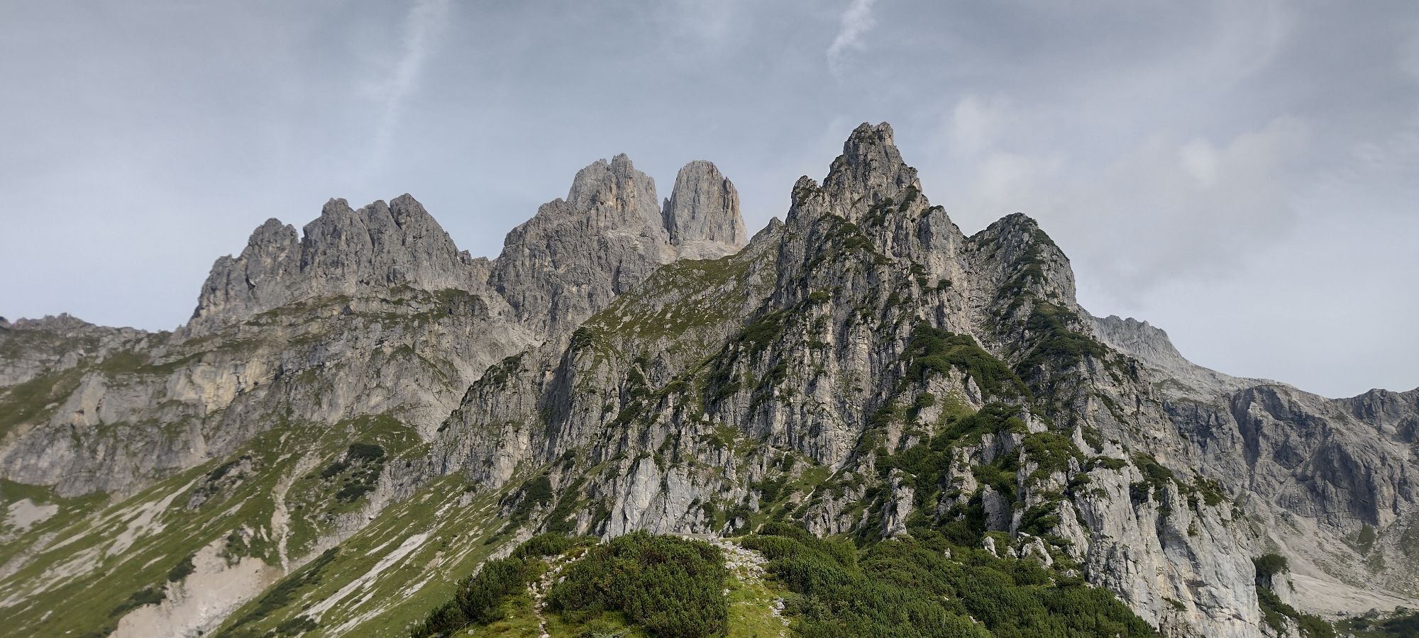
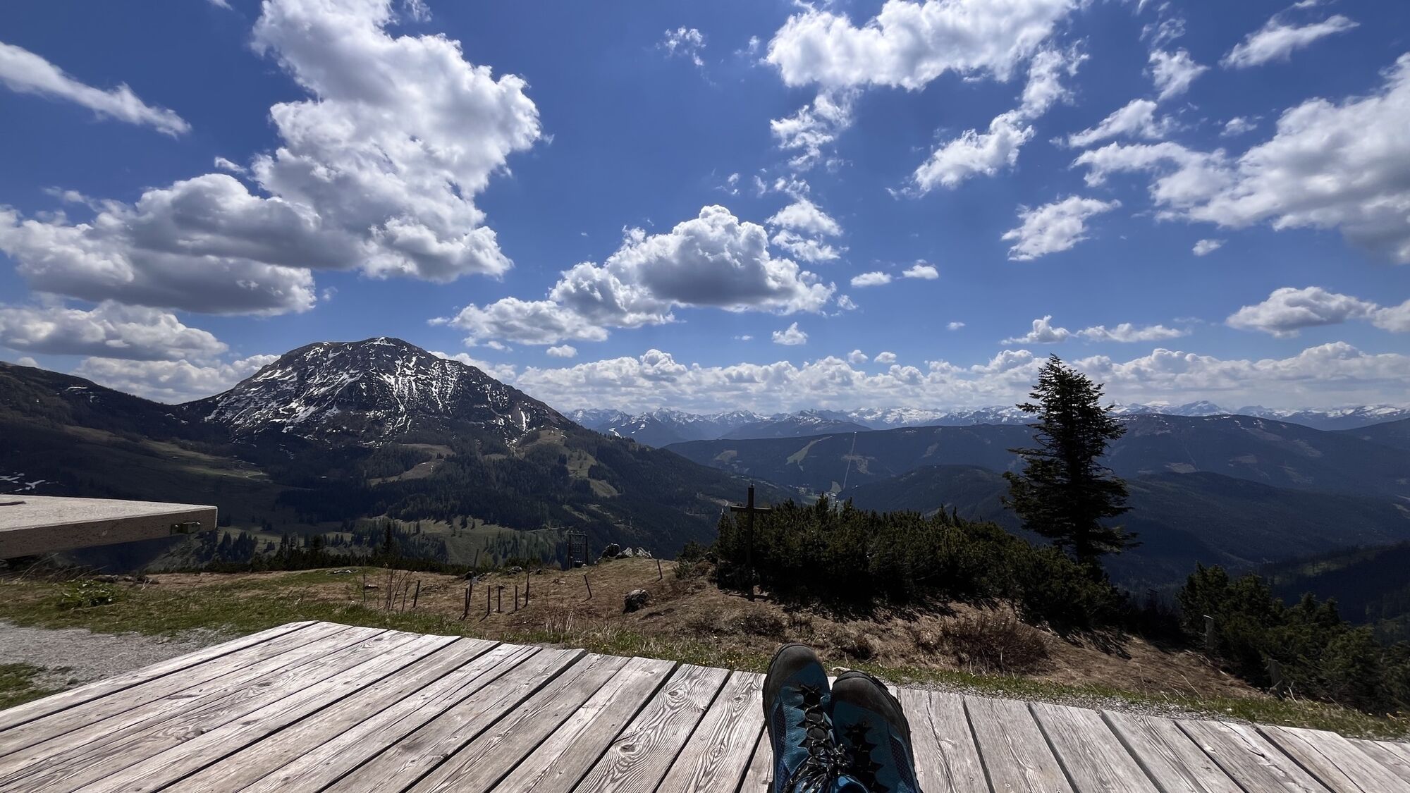
TIP: Small saddle with a magnificent view of Aualm, Hofalms, Almsee, Bischofsmütze and Rettenstein.
Ankle-high hiking boots required!
... by hiking bus to the Marcheggsattel junction, then continue on foot (walking time approx. 1 hour)
… by shuttle transfer
… by taxi
Parking available at the parking lot opposite the gas station.
The Hofpürglhütte is located on the Salzburg Alpine Meadow Trail and Dachstein Circular Hiking Trail. Spend a night in a dormitory at an Alpine Club hut!
Popularne wycieczki w okolicy
- 4,3
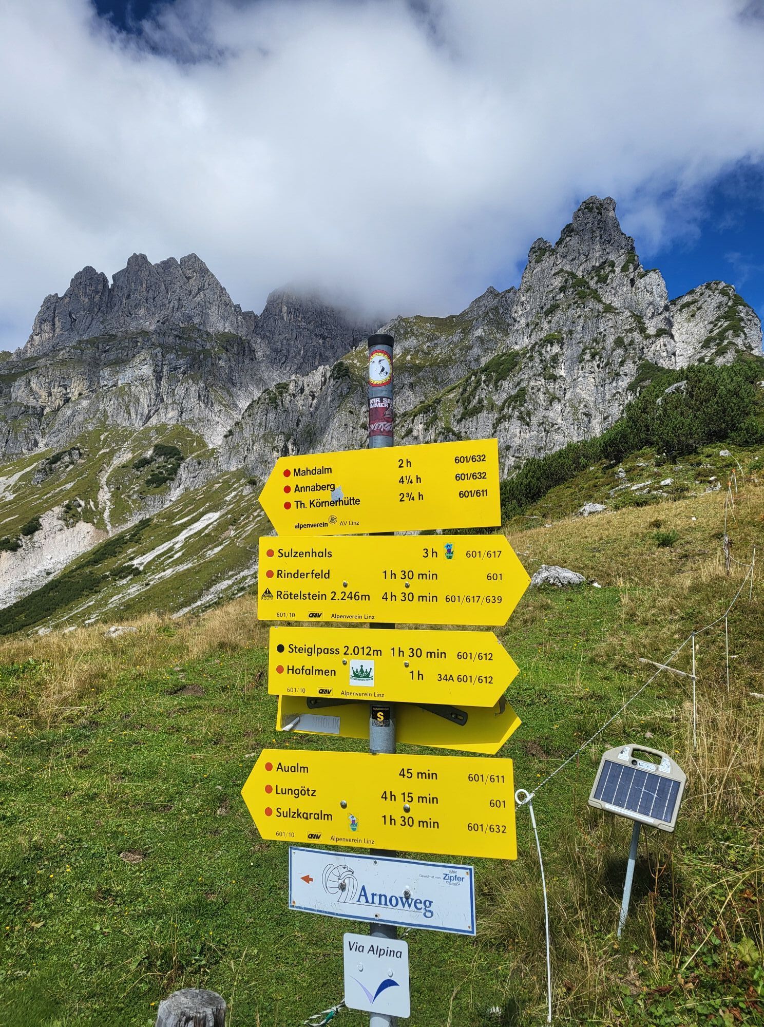
Filzmoos: Rötelstein (Rettenstein)
Wędrówka 9,50 km - 4,8
Heilbronner circular trail
światłoWędrówka 7,78 km - 4,8
4-Jahreszeiten Wanderweg
średniWędrówka zimą 5,94 km - 4,7
Tour around the Gosaukamm
średniWędrówka 20,9 km - 4,7
Tour around the Lake Gosau
światłoWędrówka 4,43 km - 4,7
Tor-Wanderung
ciężkiWędrówka 14,2 km - 4,5
Adamekhütte vom Vorderen Gosausee
średniWędrówka 23,2 km - 4,4
Ramsau am Dachstein: Steinerne Jungfrauen
Wędrówka 8,11 km - 4,9
Das Trippel in der Silberkarklamm
średniVia ferrata 6,70 km - 4,8
Reiteralmrunde
światłoWędrówka 5,71 km

Wędrówki i tropienie


Nie przegap ofert i inspiracji na następne wakacje
Twój adres e-mail została dodana do listy mailingowej.