






From Filzmoos over the Gerzkopf to Lungötz


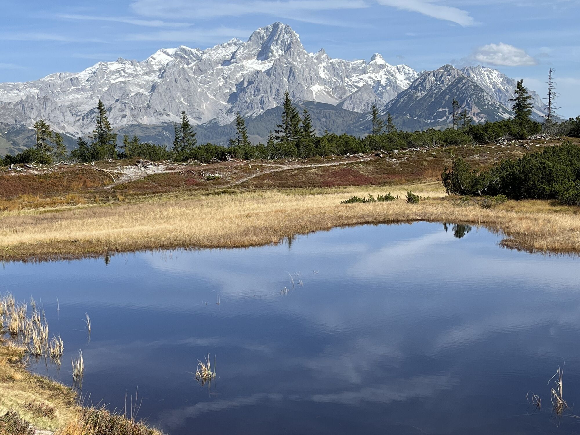
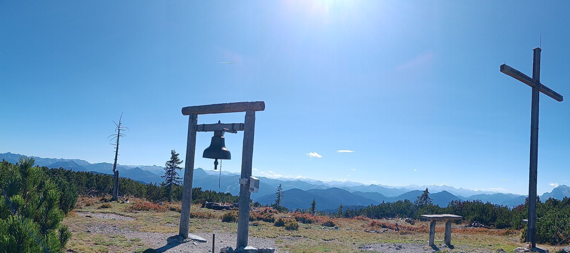
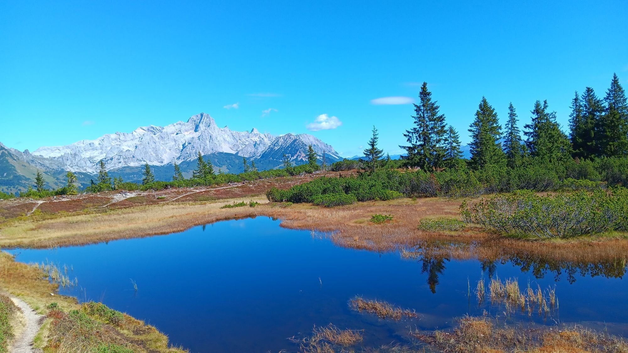
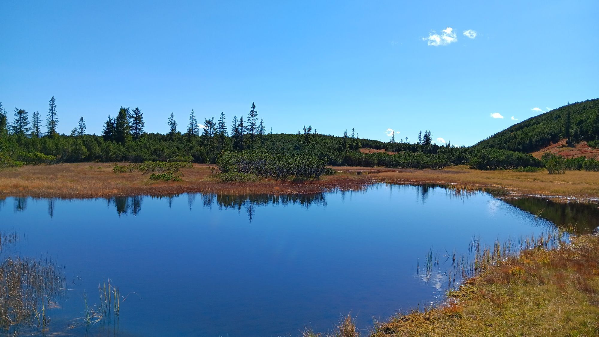
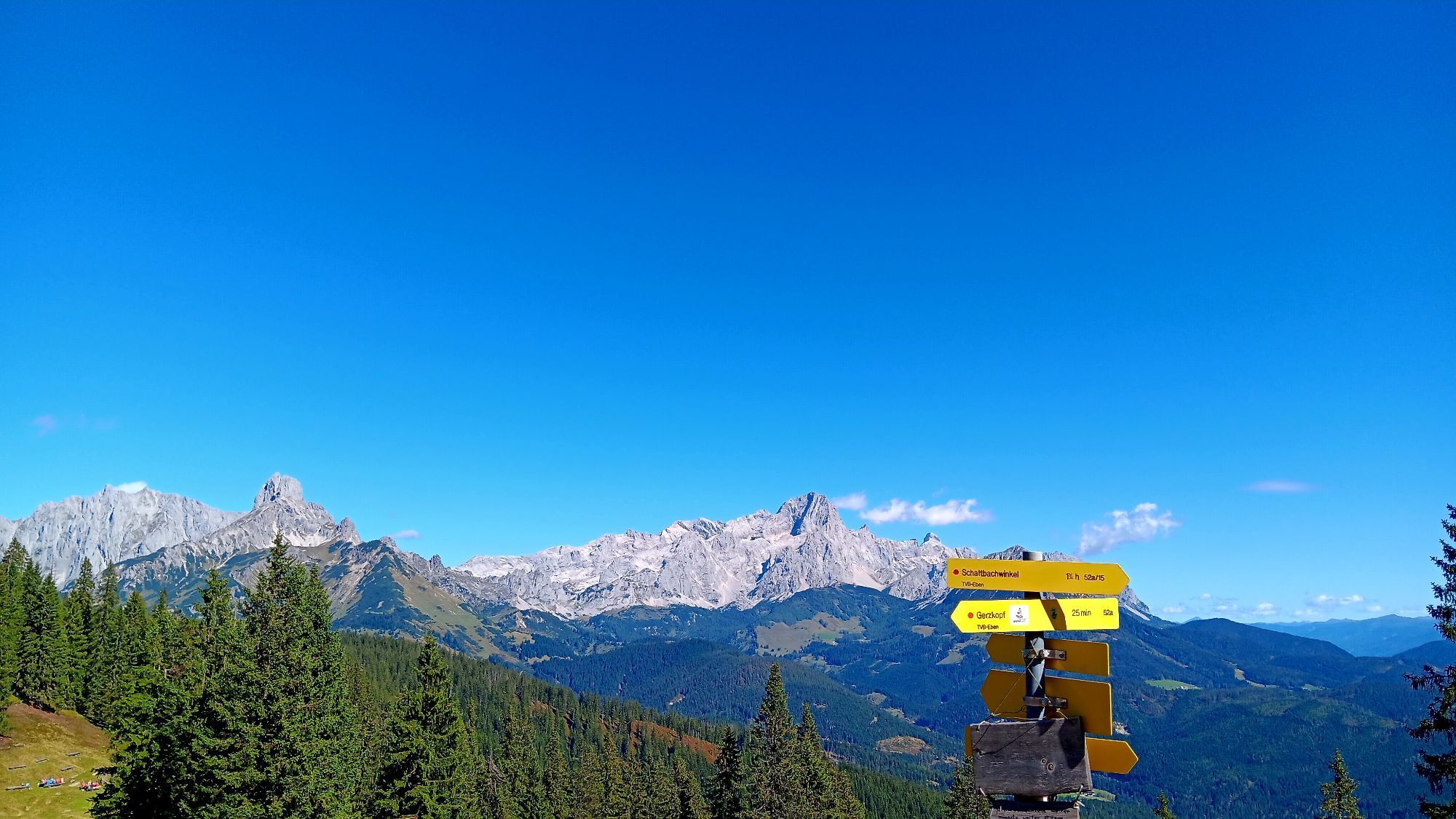
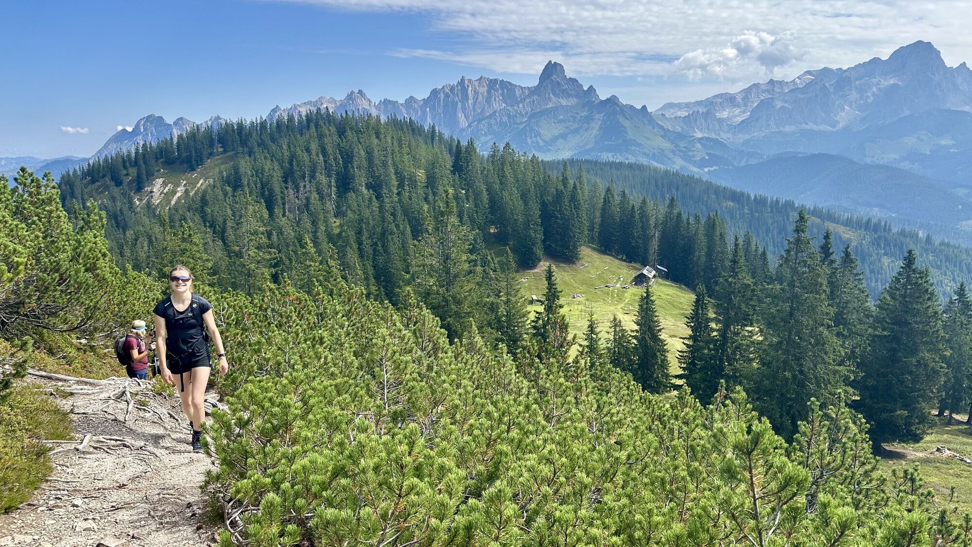
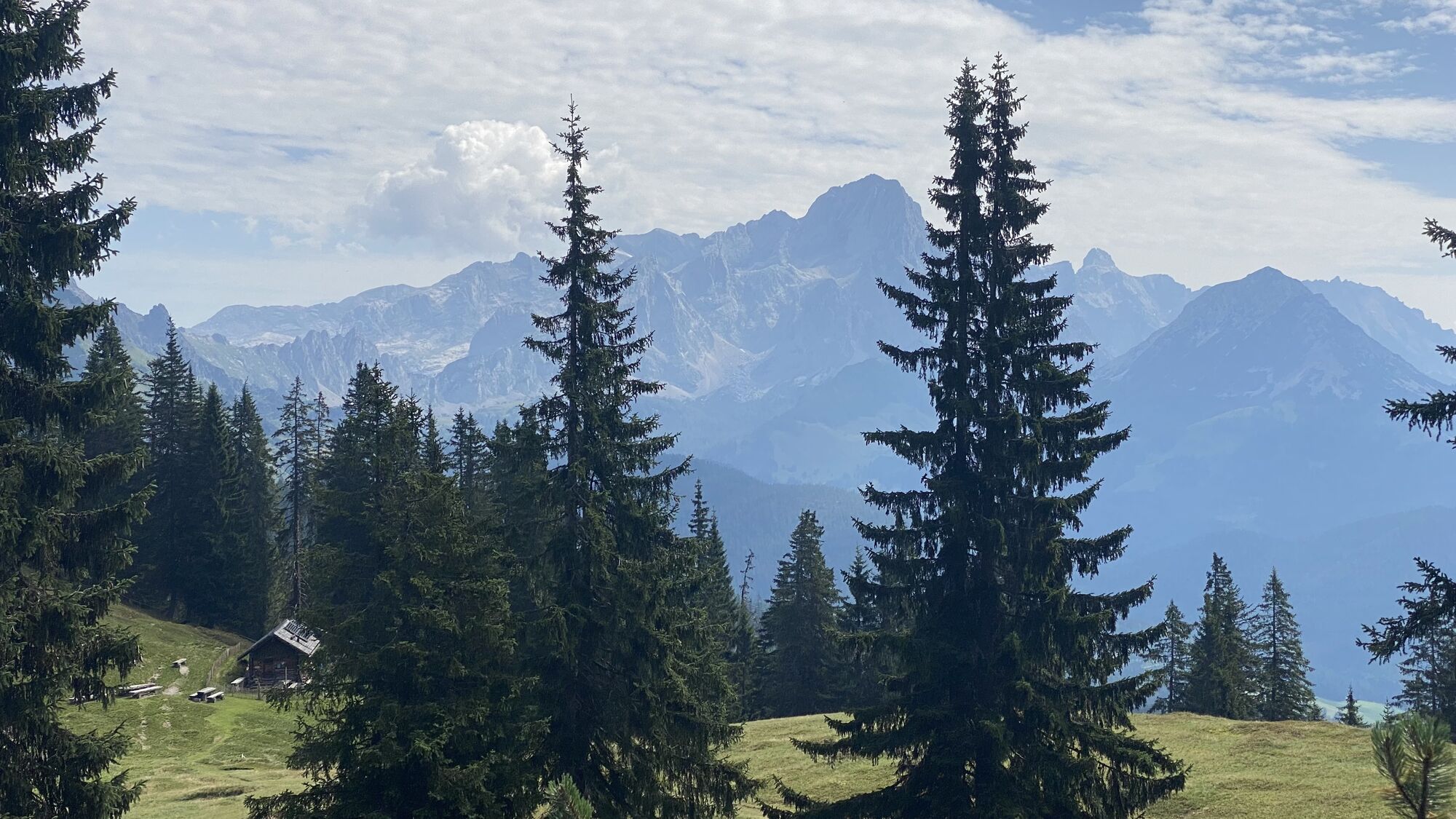
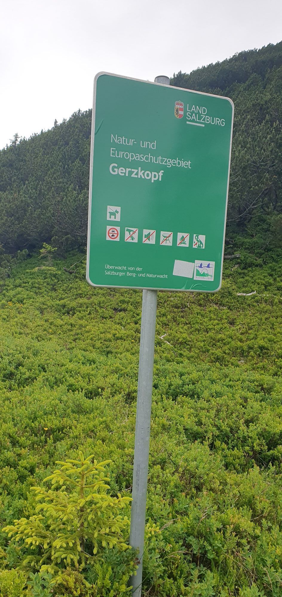
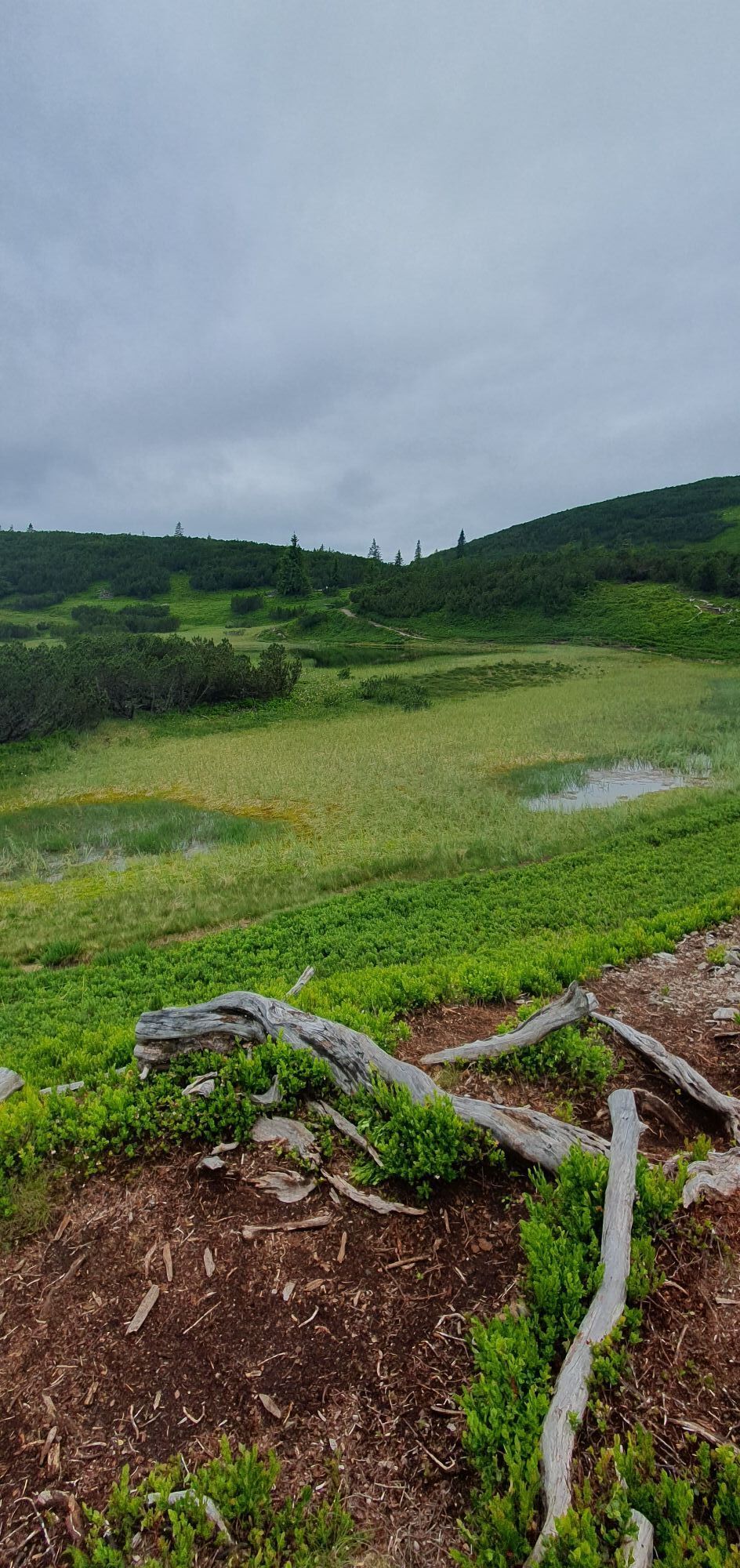
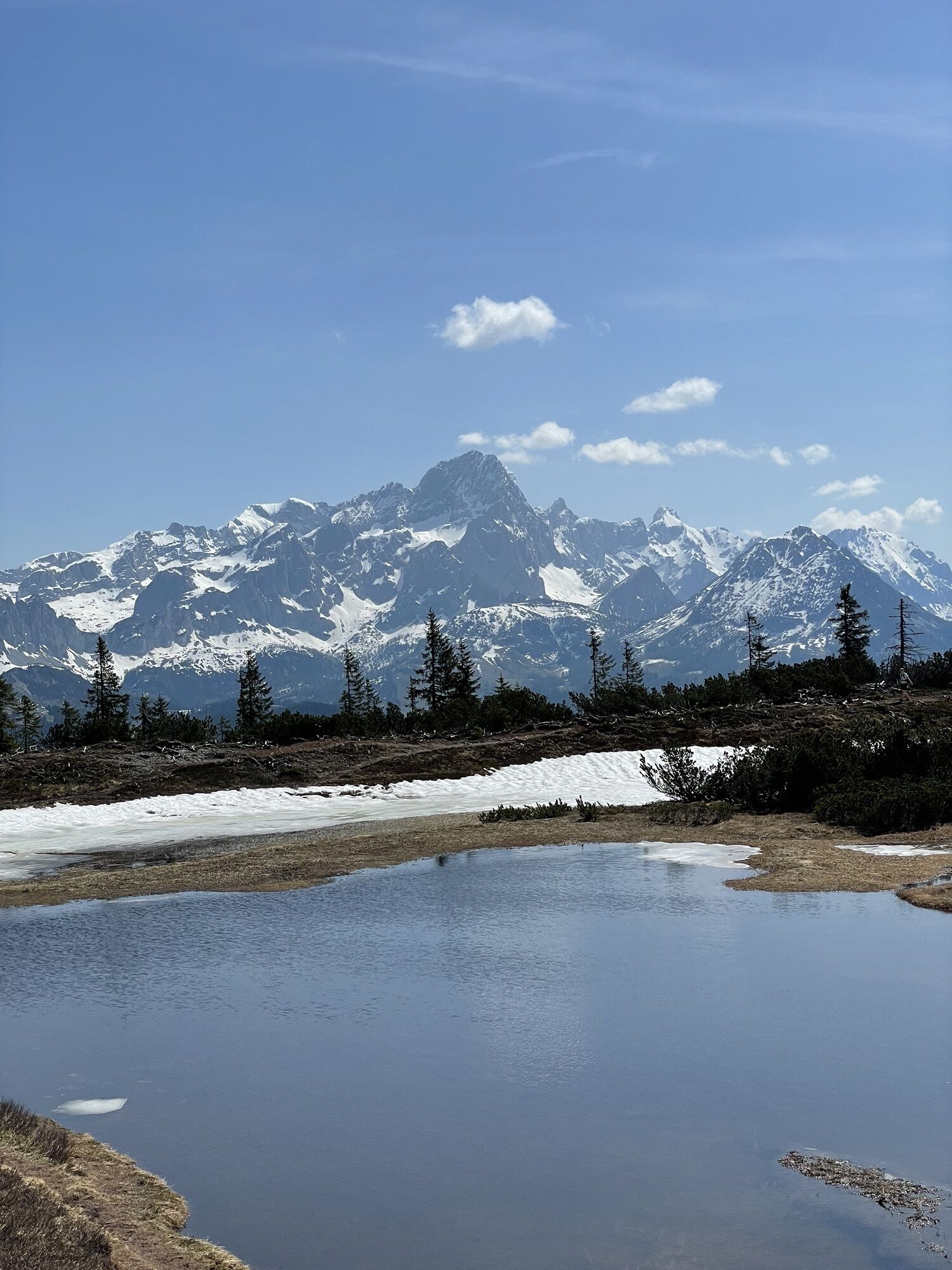
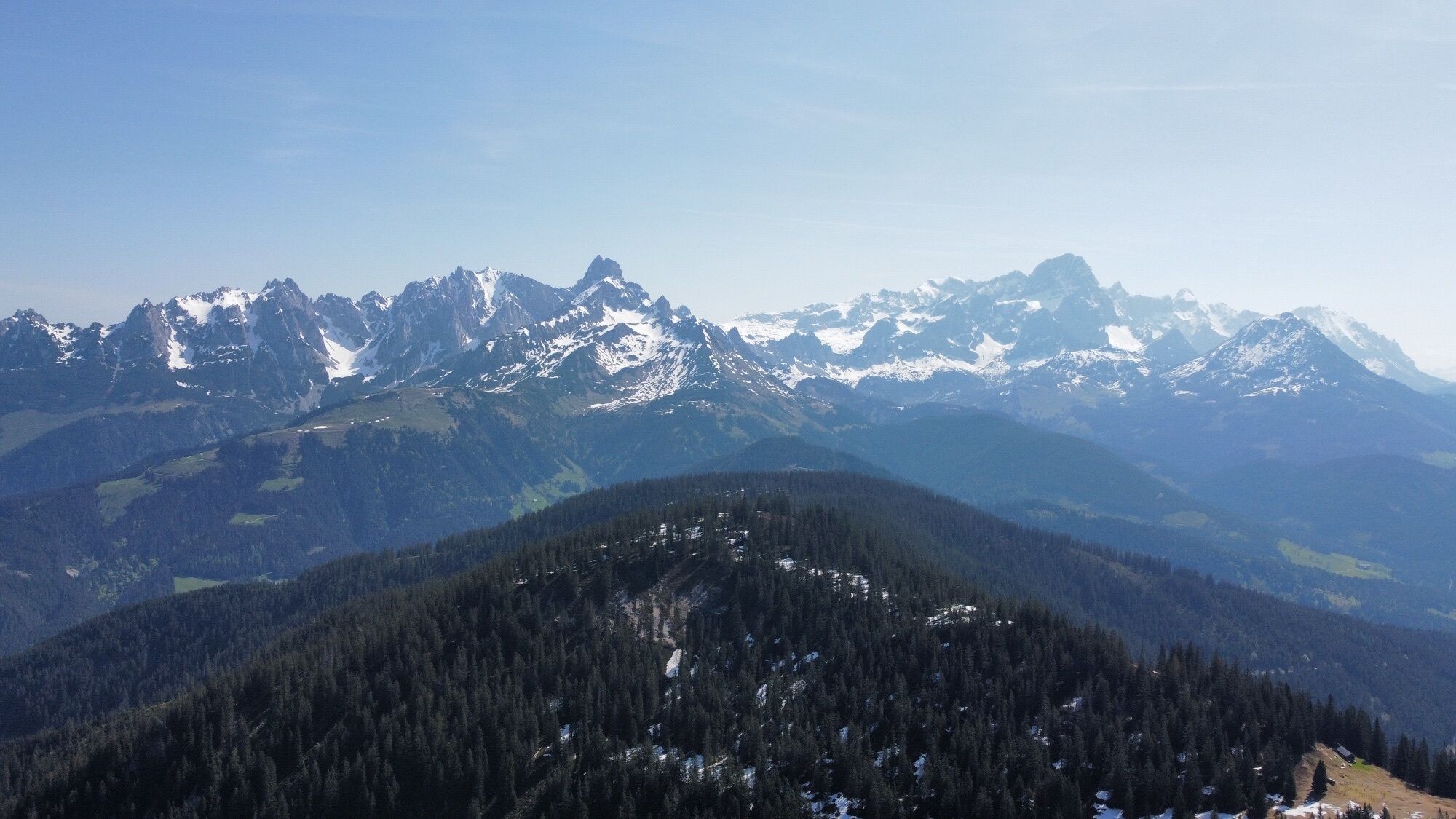


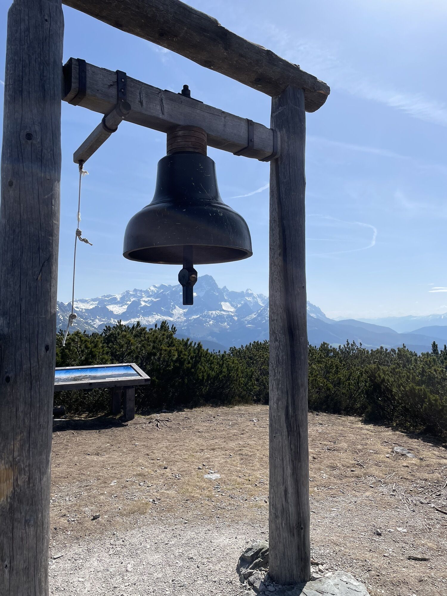
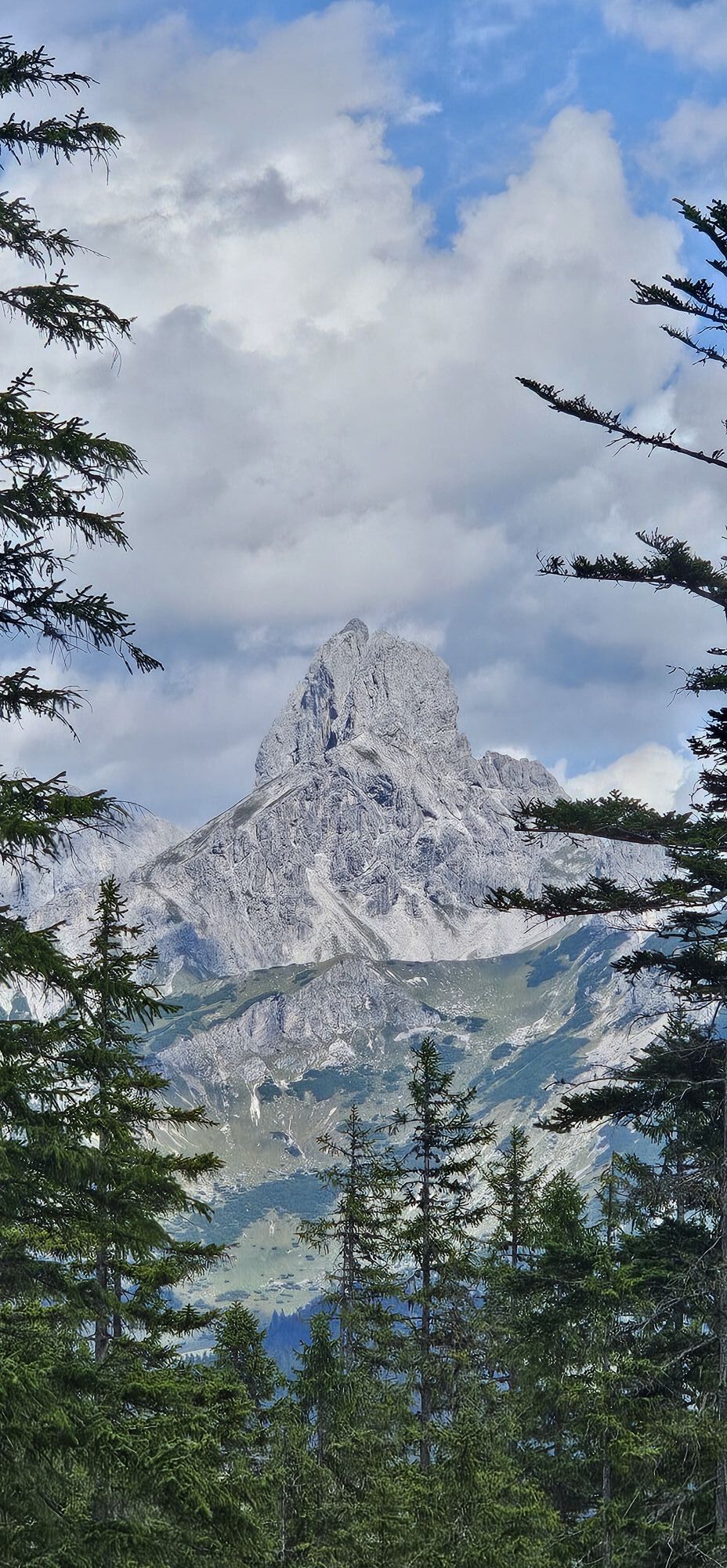
The most exciting part of the long crossing between Filzmoos and Lungötz is the moorland around the Gerzkopf (1,728 m). This region enjoys additional protection as a Natura 2000 area. Most visitors at...
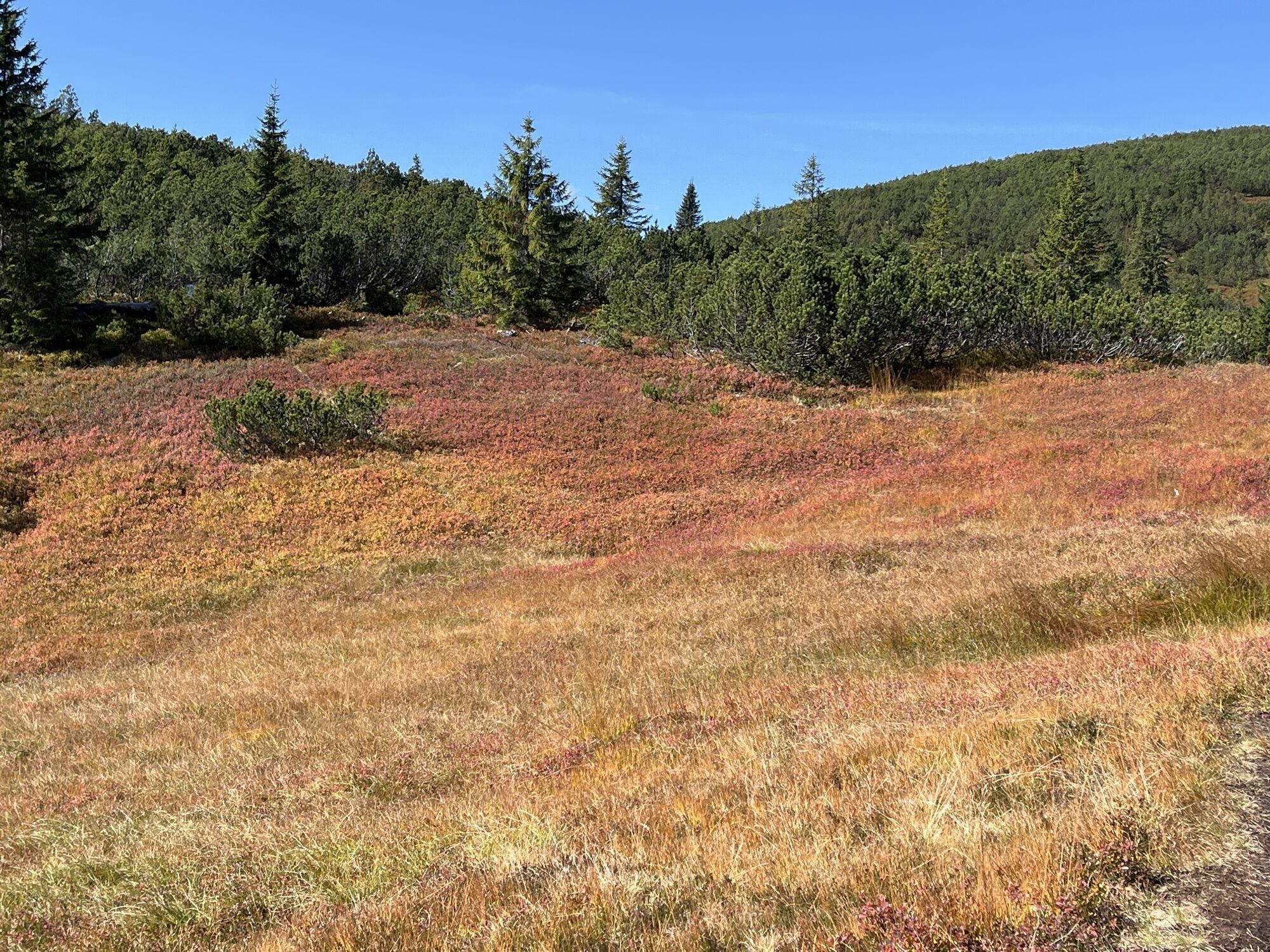
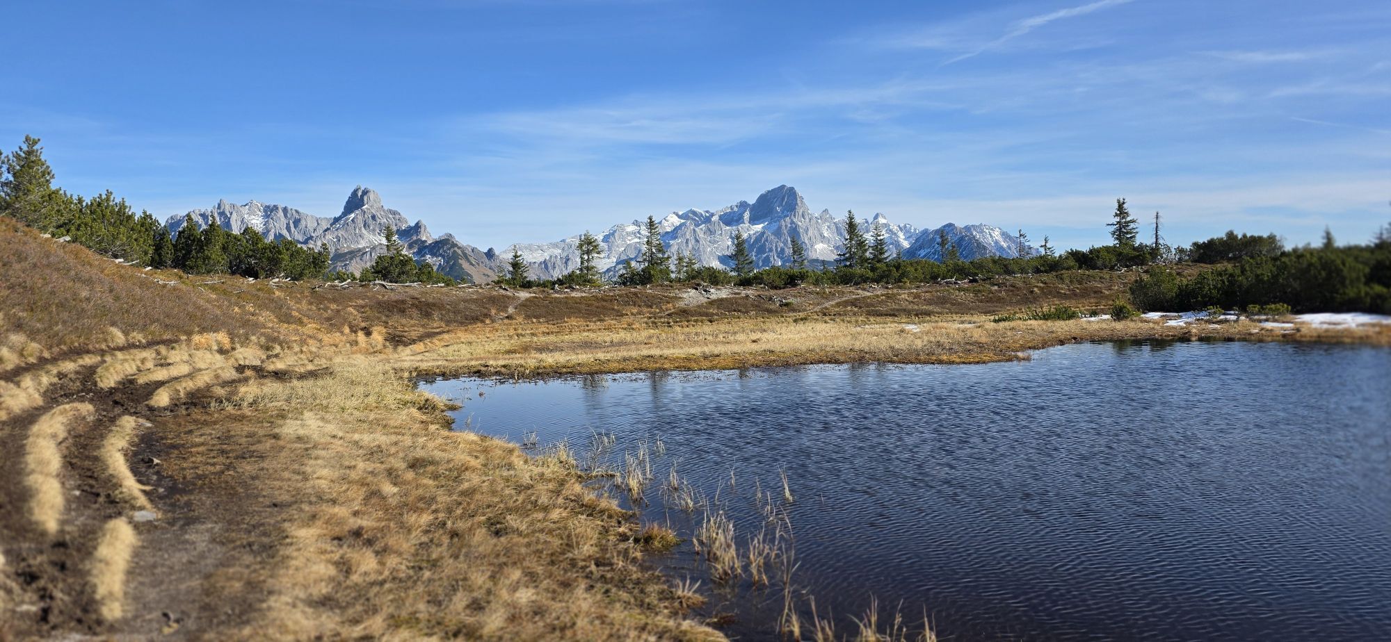
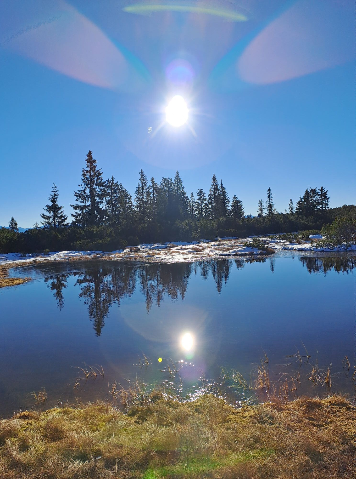
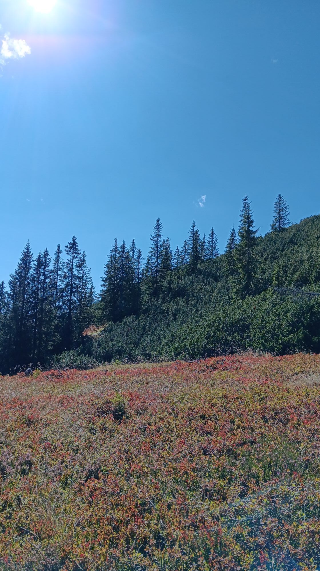
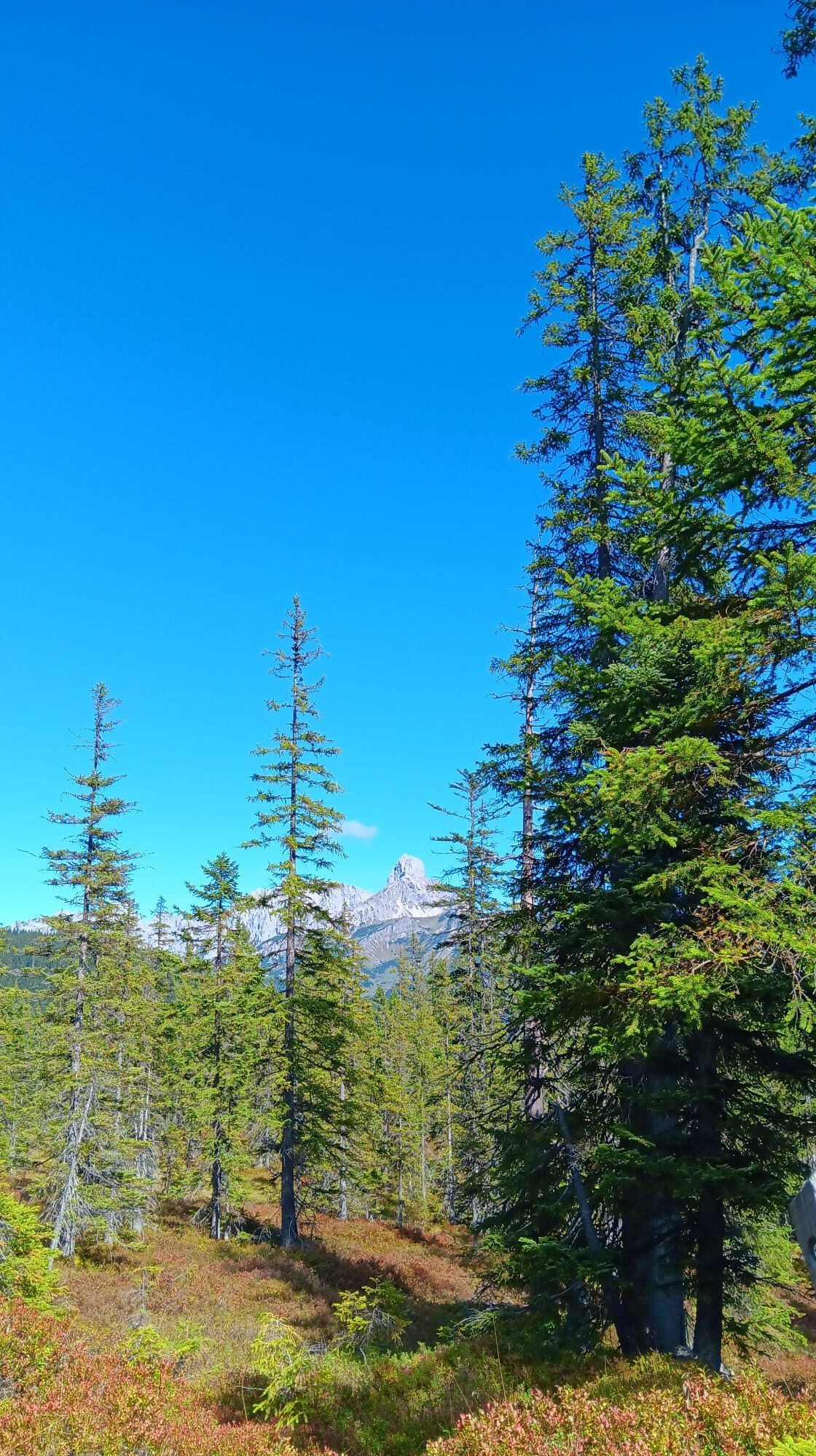
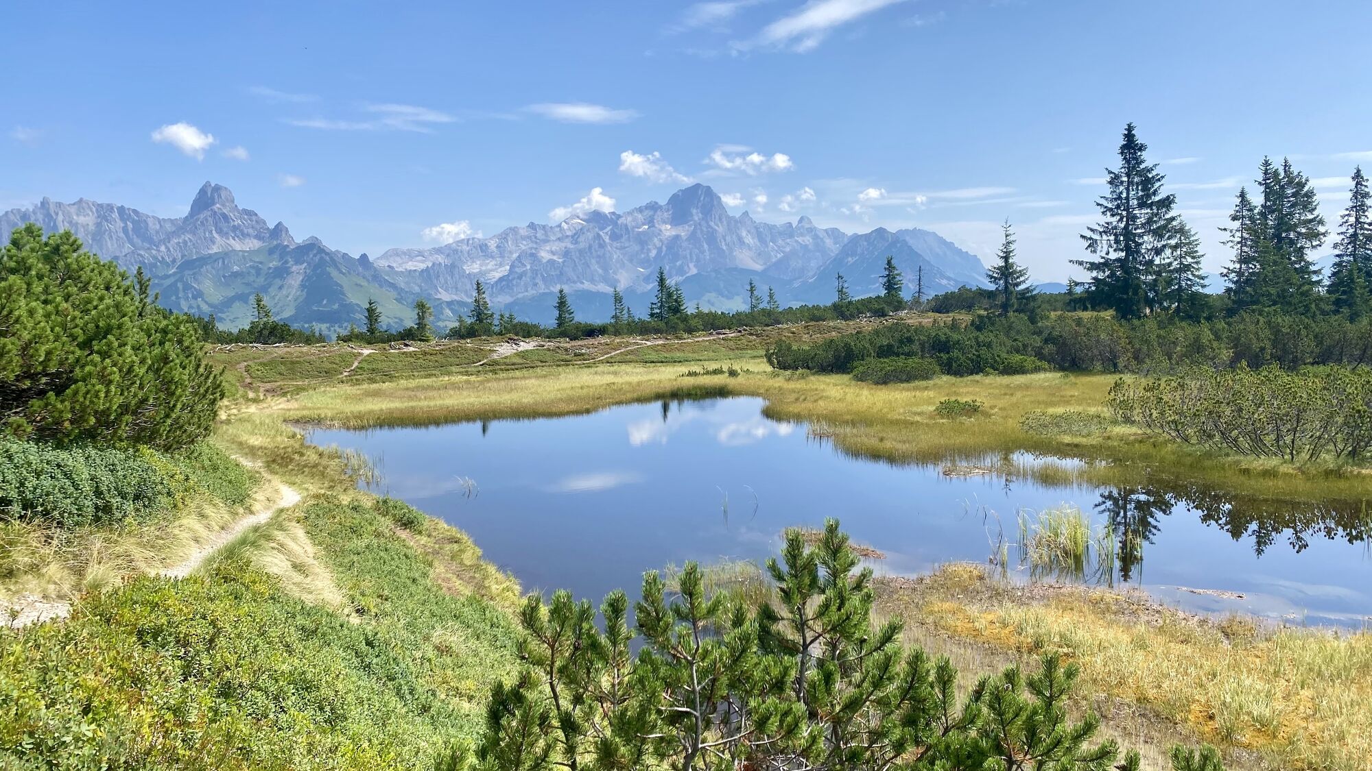
The most exciting part of the long crossing between Filzmoos and Lungötz is the moorland around the Gerzkopf (1,728 m). This region enjoys additional protection as a Natura 2000 area. Most visitors at Gerzkopf focus entirely on the "Black Ponds" which present themselves so photogenically in front of the Gosaukamm, Bischofsmütze and Dachstein mountains. But around the Gerzkopf, there are six other moors, each with its own character. During the descent towards Lungötz, we also get to know these biotopes on the northern side of the Gerzkopf. This exceptional habitat is accompanied by a variety of rare animal and plant species. These include the carnivorous sundew, the endangered raised bog tarantula, and the black grouse, which fly exactly to this mix of food supply and retreat opportunities.
Direct arrival and details at: salzburg-erfahren.at

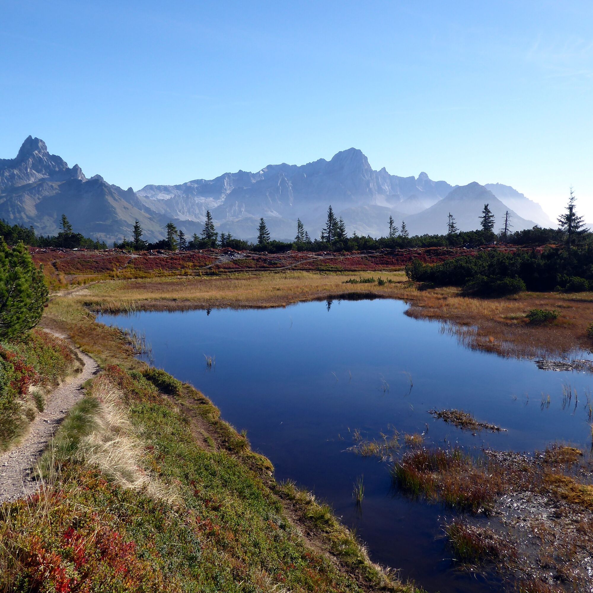
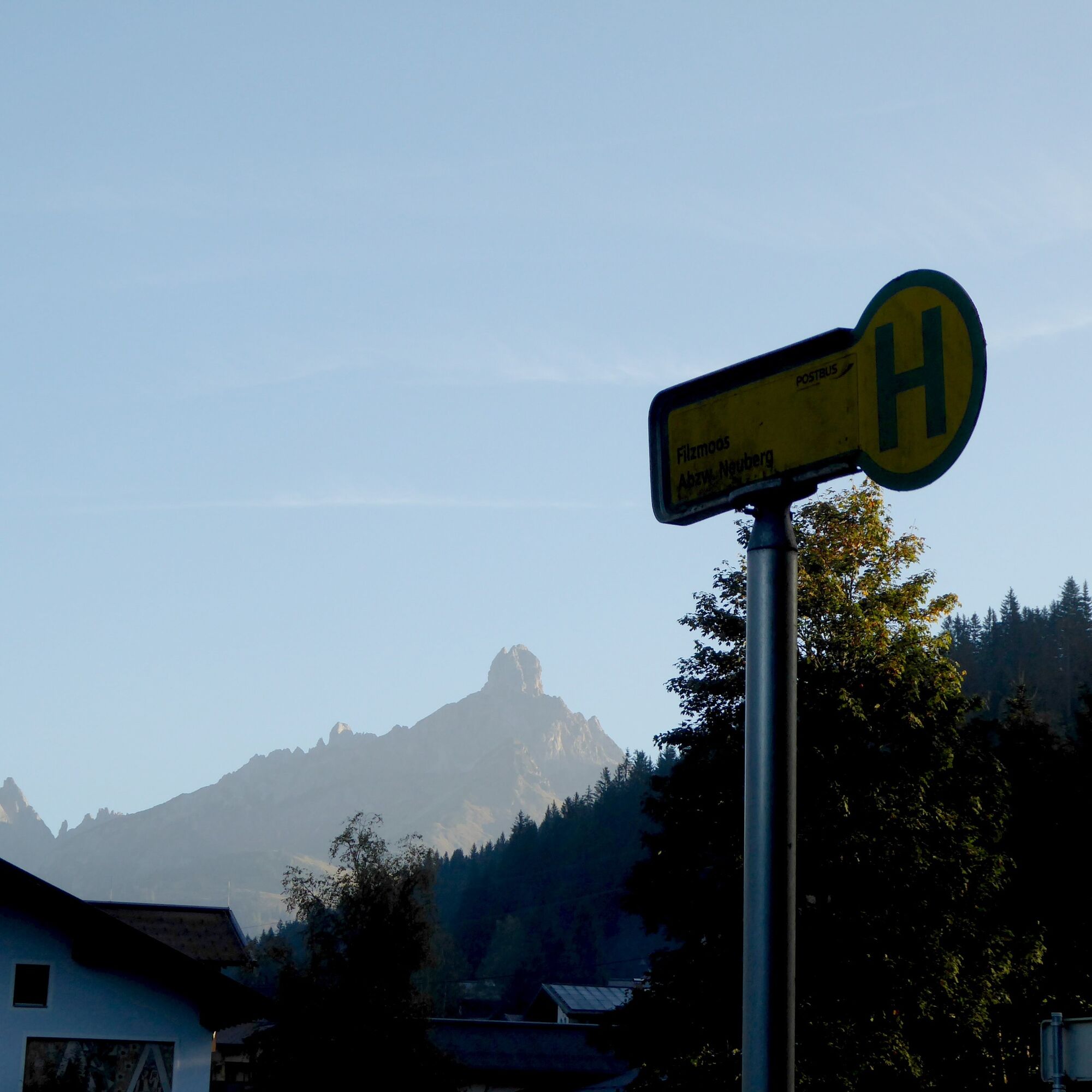
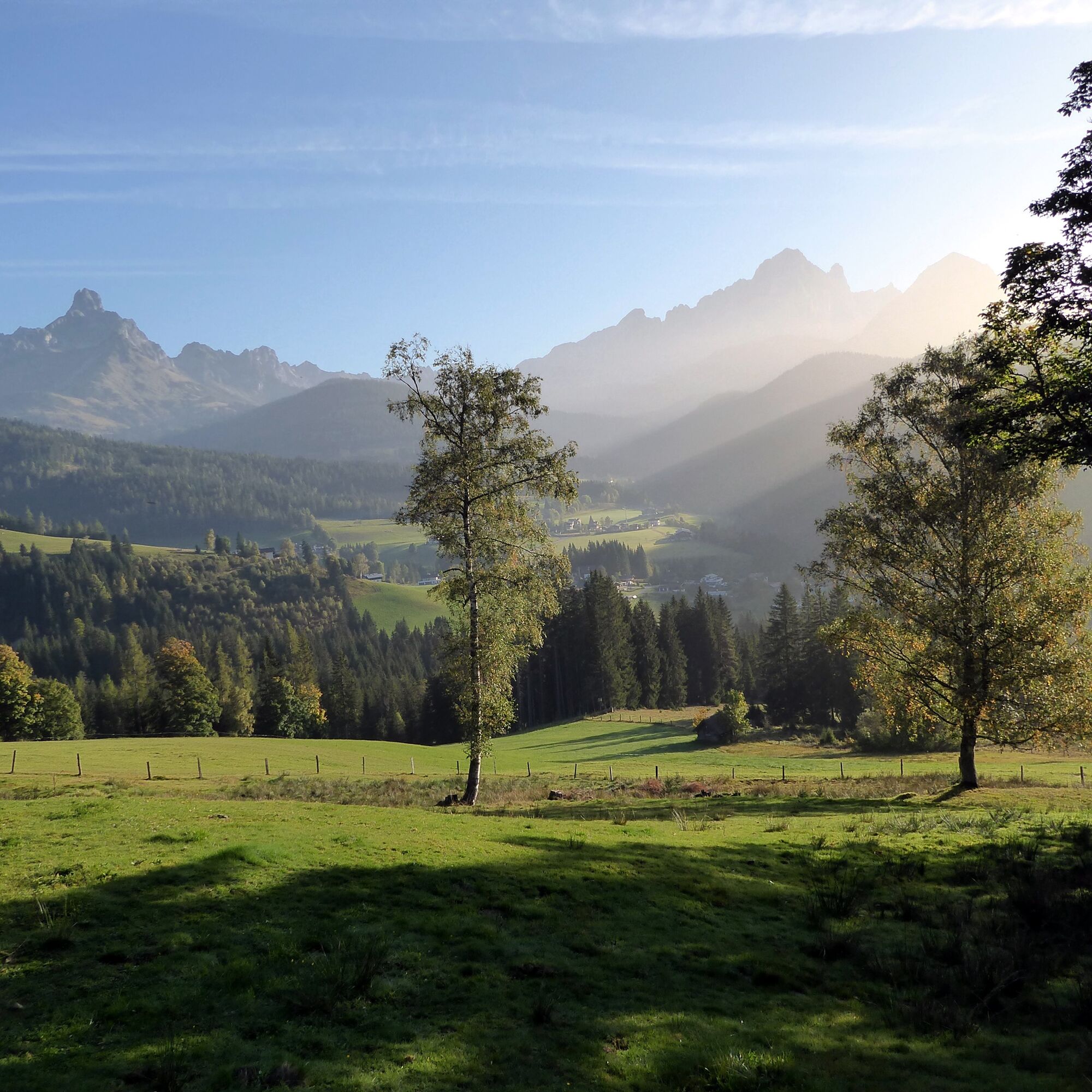
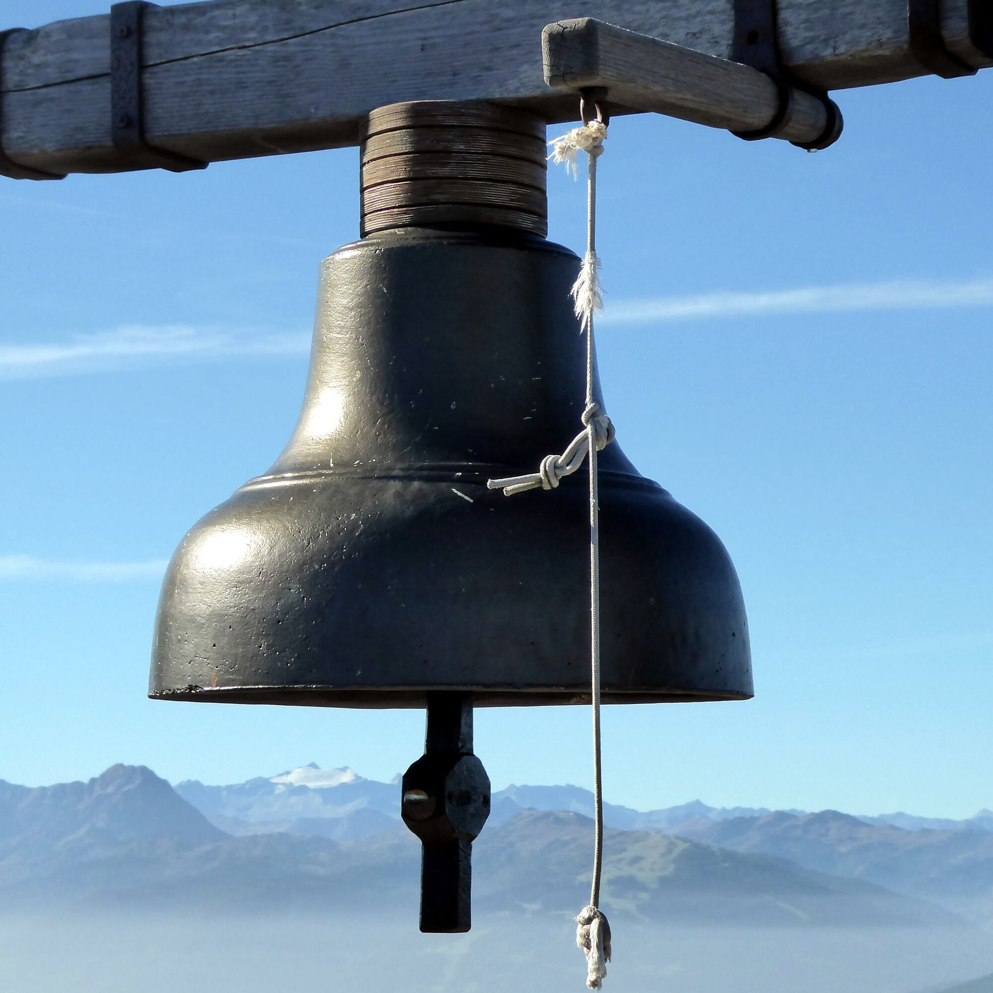
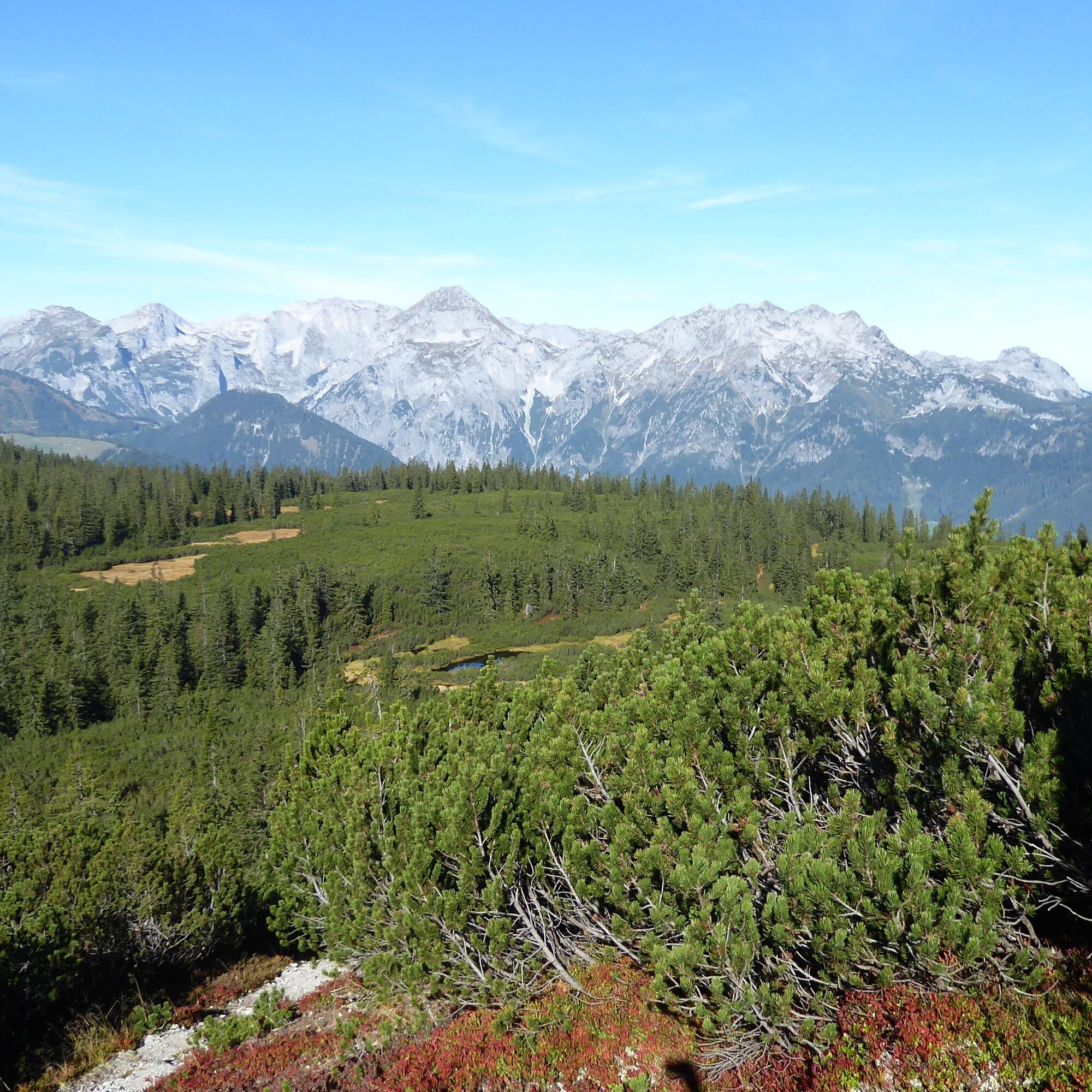
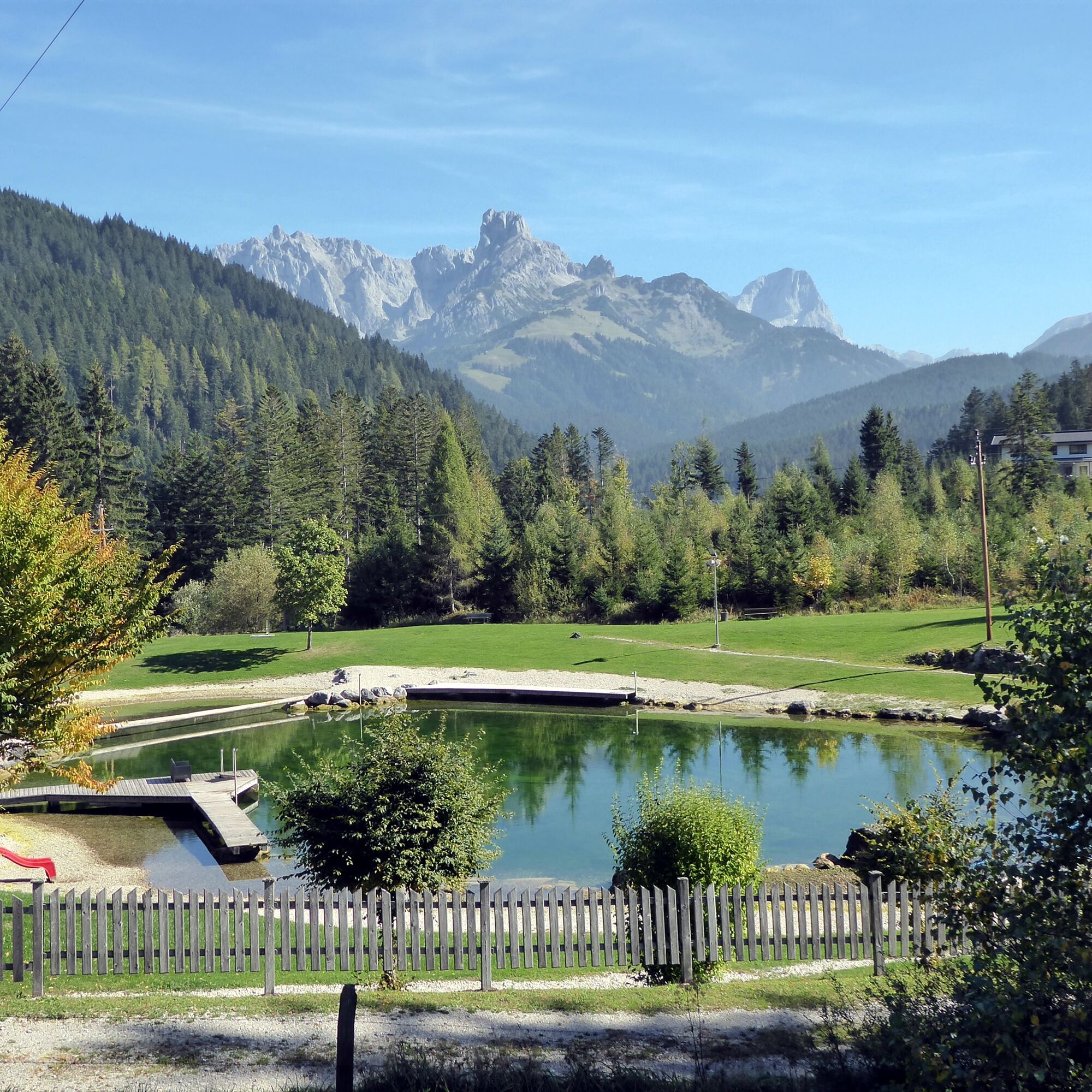

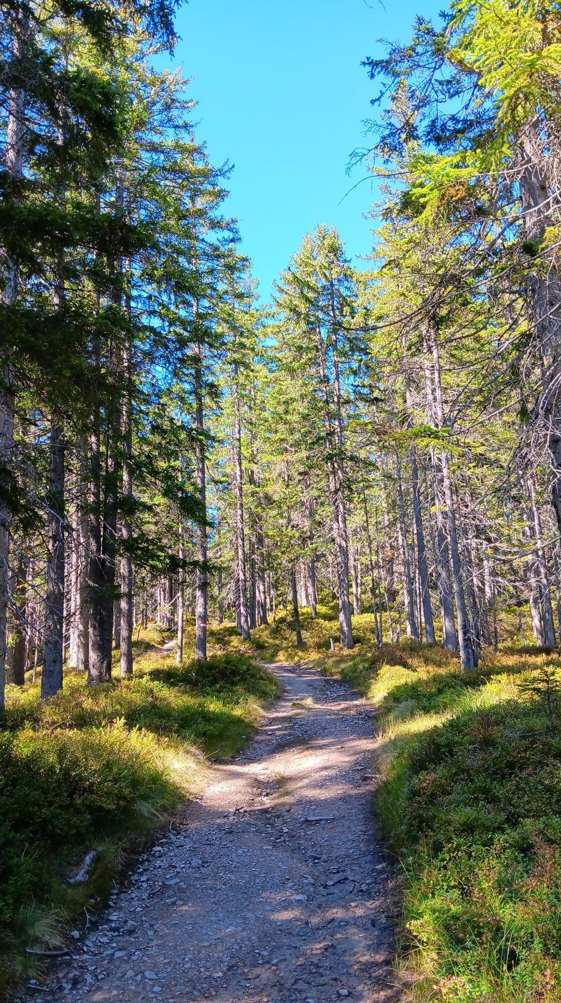
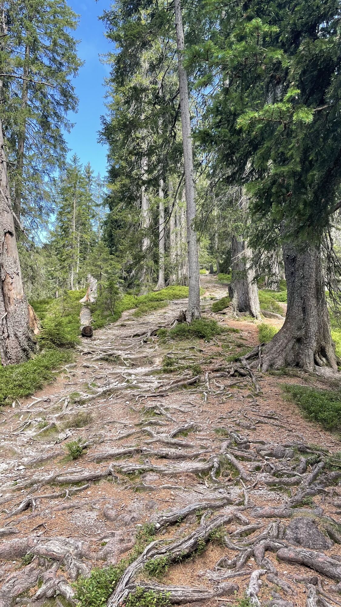
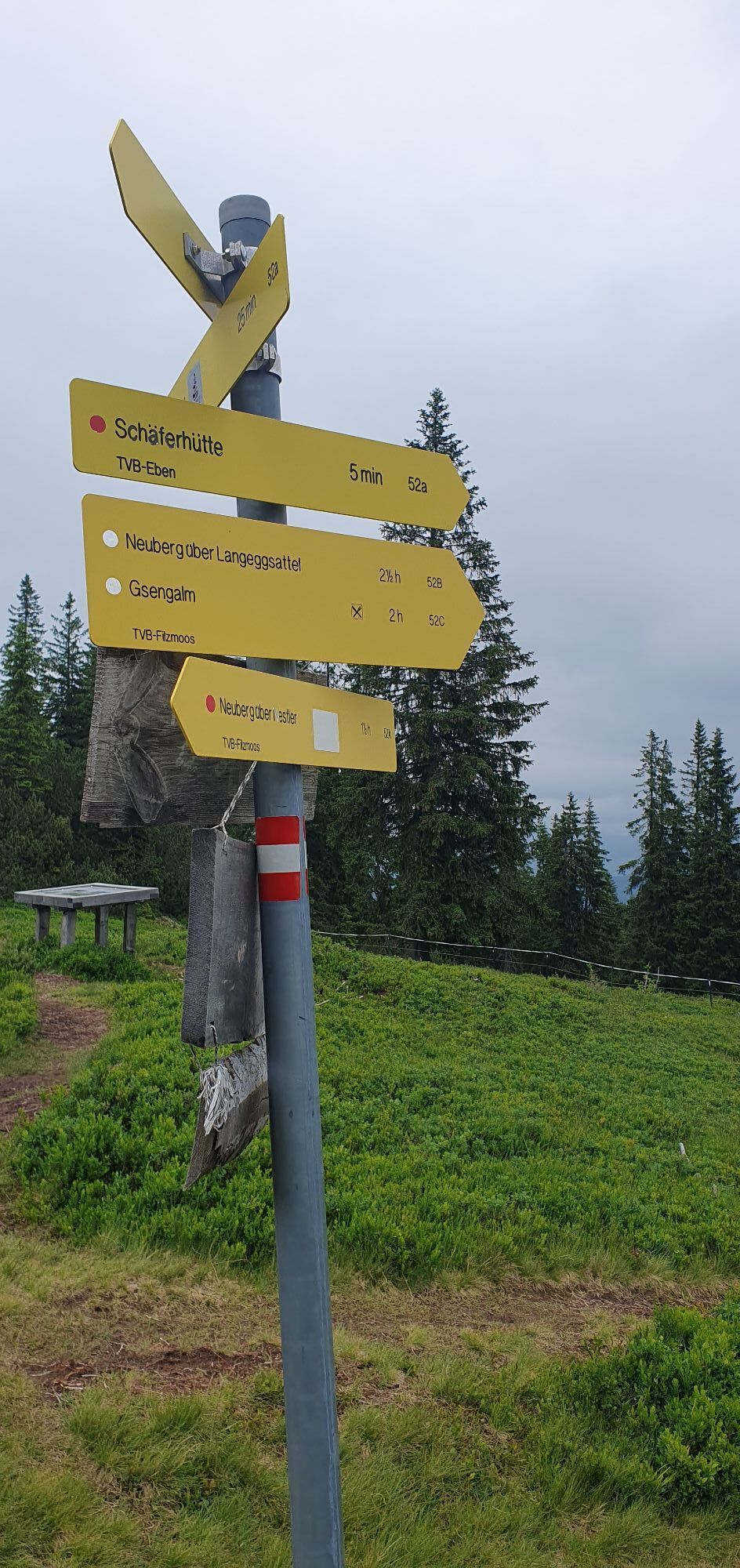
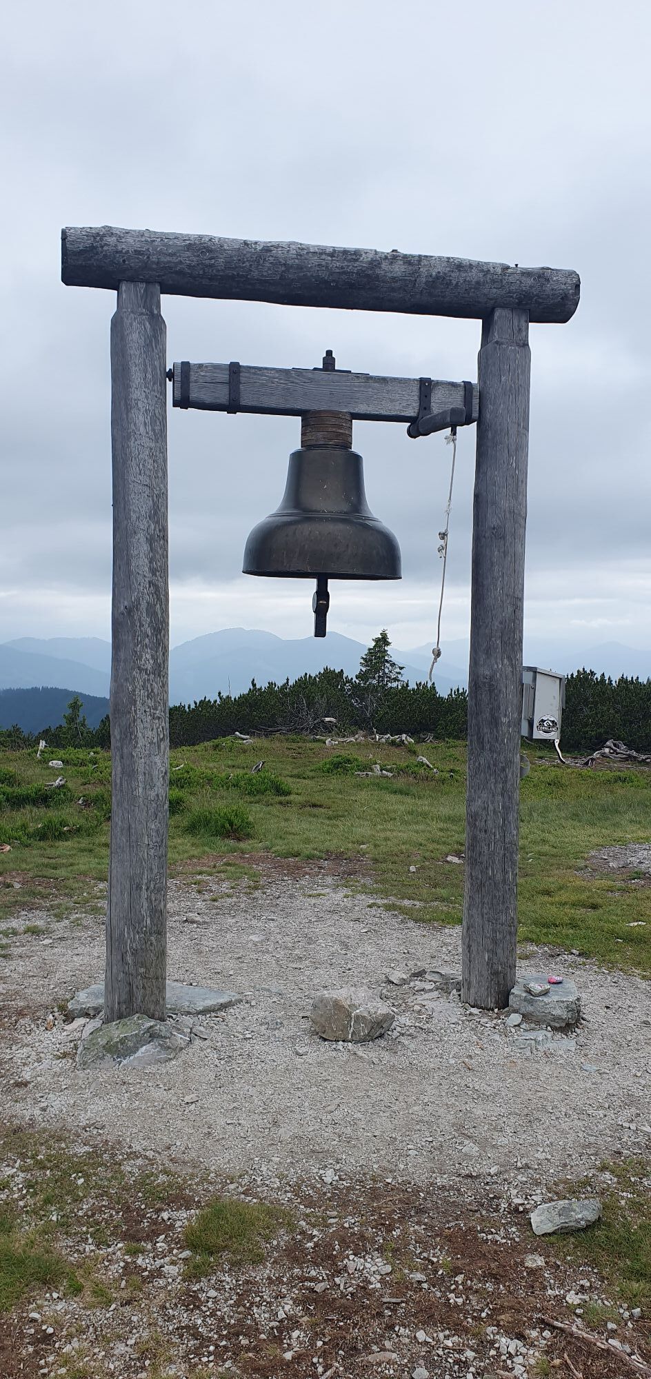
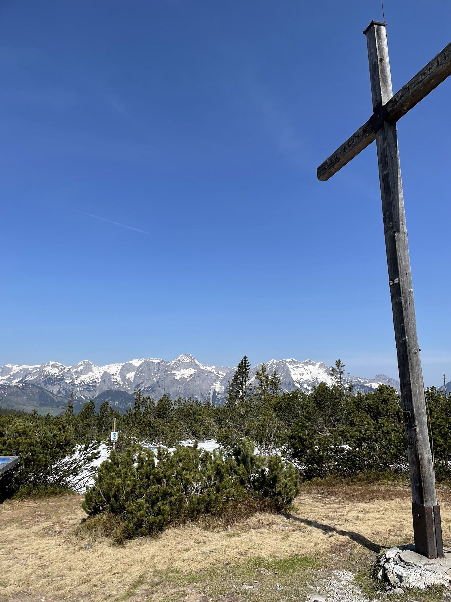
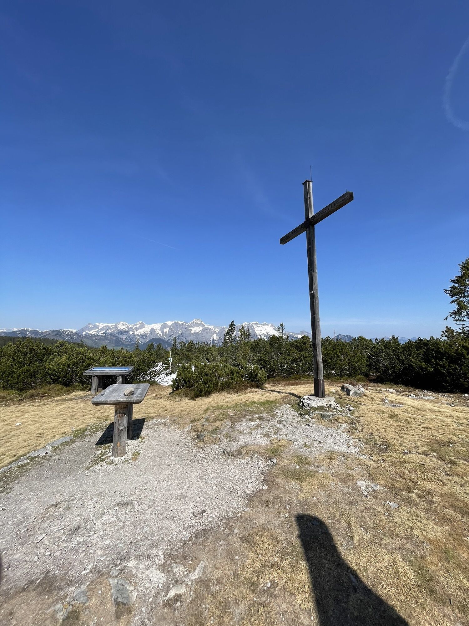
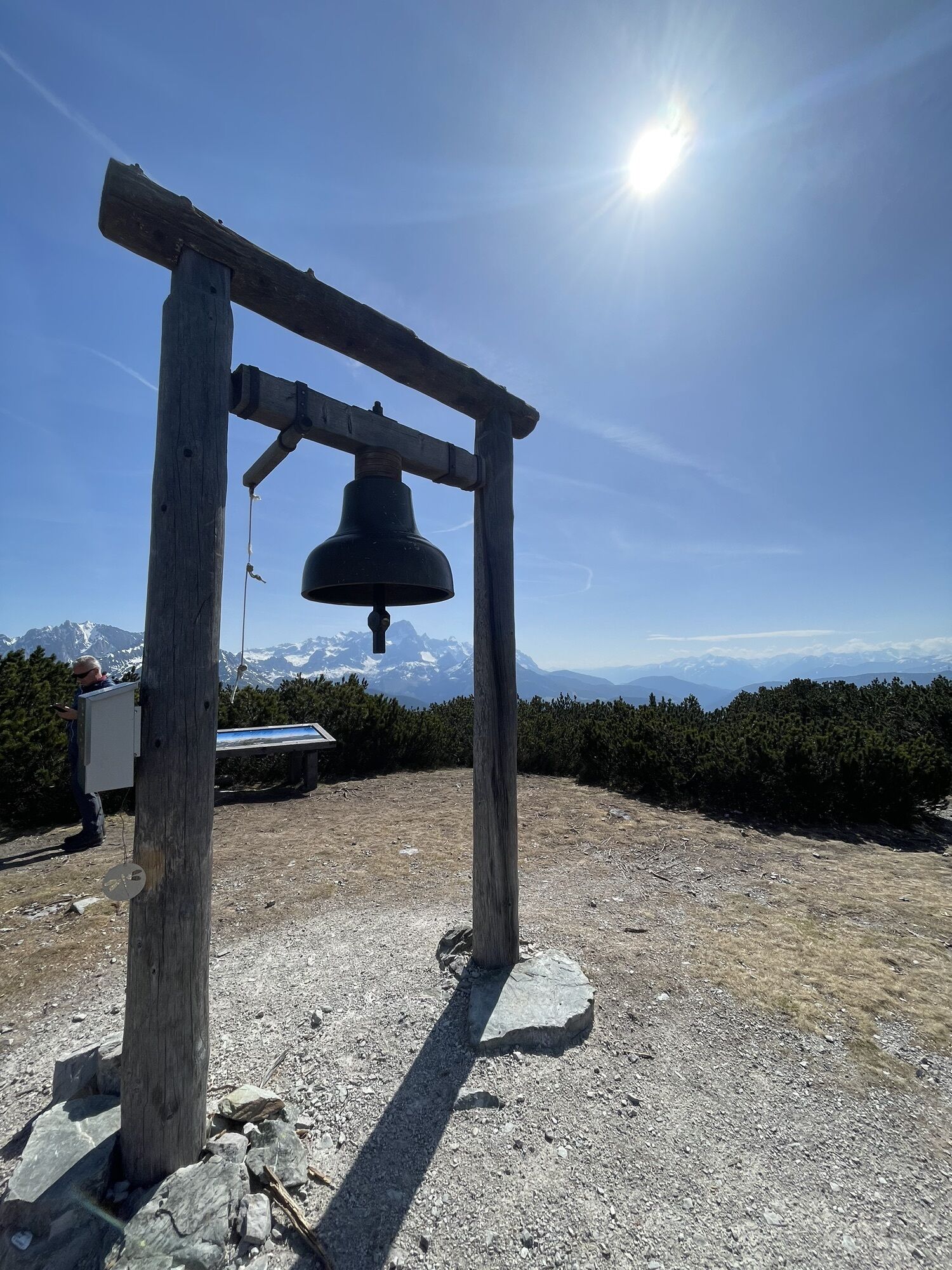
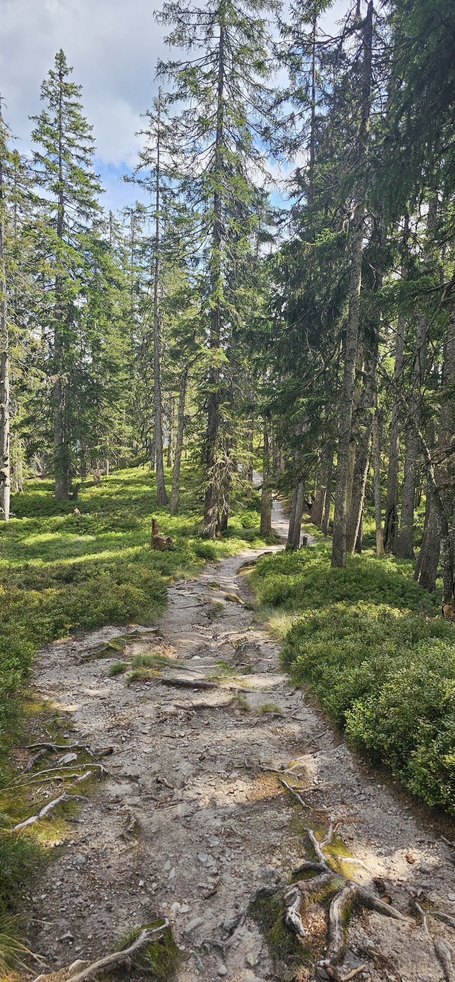
The starting point is the Filzmoos Abzweigung Neuberg bus stop. The "Gerzkopf" route crosses the state road and stays 1.3 km on the right ditch side heading towards Neuberg. After the bridge, path 52 A (Gerzkopf) branches off to the left and follows the Nestlerweg another kilometer uphill to the last farm. Now the steep path begins on the right through the beautiful high forest, which becomes flatter and wetter after half an hour. Soon the photogenic "Black Ponds" appear, shortly after the flat Gerzkopf (1,728 m) with its characteristic bell frame is reached. Walking time up to here: 3 hours. The descent from the summit follows path 65 towards Lungötz. After the short steep section, new moors spread out again, this time with the Tennengebirge in the background. Past the tiny Gerzkopf hut, route 65 partly runs on old forestry roads, partly on forest paths to the first houses in the Lungötz district Vorderbach (1,050 m). The last half-hour section follows the access road past the forest swimming pool down to Lungötz. The town center bus stop is located 200 m to the left off the main road.
Tak
Tak
By bus or train to Eben station or by bus 270 to the Eben P+R bus stop and by bus 521 to Filzmoos Abzw. Neuberg.
Return from Lungötz town center by bus 471 either to Golling-Abtenau station (forecourt) or (in the opposite direction) to Niedernfritz Abz. St. Martin and a 4-minute walk further to Niedernfritz-St. Martin station.
Frequency / Interval: low on Sundays and public holidays, otherwise very good.
Timetable information and download: online at www.salzburg-verkehr.at or on your smartphone via the free Salzburg Verkehr app for Android and iOS.
Direct arrival and details at: salzburg-erfahren.at
www.filzmoos.at, www.annaberg-lungoetz.com, www.eben.at
Mag. Christian Heugl
5400 Hallein
Image credit: Christian Heugl
In hot weather, the forest swimming pool in Lungötz is a refreshing temptation. So always take a swimsuit in your backpack just in case.

Kamery internetowe z trasy


Popularne wycieczki w okolicy
-
4,5
Ramsau am Dachstein: Steinerne Jungfrauen
Wędrówka 8,11 km -
4,4
Filzmoos: Rötelstein (Rettenstein)
Wędrówka 9,50 km -
4,7
Werfenweng Mountainbikerunde Söldenhütte
średniMountainbike 18,8 km -
4,8
Tour around the Gosaukamm
średniWędrówka 20,9 km -
4,8
Tor-Wanderung
ciężkiWędrówka 14,2 km -
4,7
Tour around the Lake Gosau
światłoWędrówka 4,43 km -
4,6
Adamekhütte vom Vorderen Gosausee
średniWędrówka 23,2 km -
4,6
Ski route Lackenkogel
średniWycieczka narciarska 7,82 km -
4,8
Ramsau Runde | 307
średniRower szutrowy 35,7 km -
4,4
Rittispanoramaweg
światłoWędrówka 5,30 km
Wędrówki i tropienie


Nie przegap ofert i inspiracji na następne wakacje
Twój adres e-mail została dodana do listy mailingowej.





