
4-Peak Tour
Wędrówka
4,7
Pobierz tę trasę na swój telefon komórkowy
4-Peak Tour
Wędrówka
6,05
km
Zeskanuj kod QR i rozpocznij nawigację w aplikacji bergfex.


Wędrówki i tropienie





4-Peak Tour
Wędrówka
4,7
Odległość
6,05
km
Czas trwania
03:00
h
Ascent
506
hm
Poziom morza
1 857 -
2 240
m
Ścieżka do pobrania
4-Peak Tour
Wędrówka
6,05
km
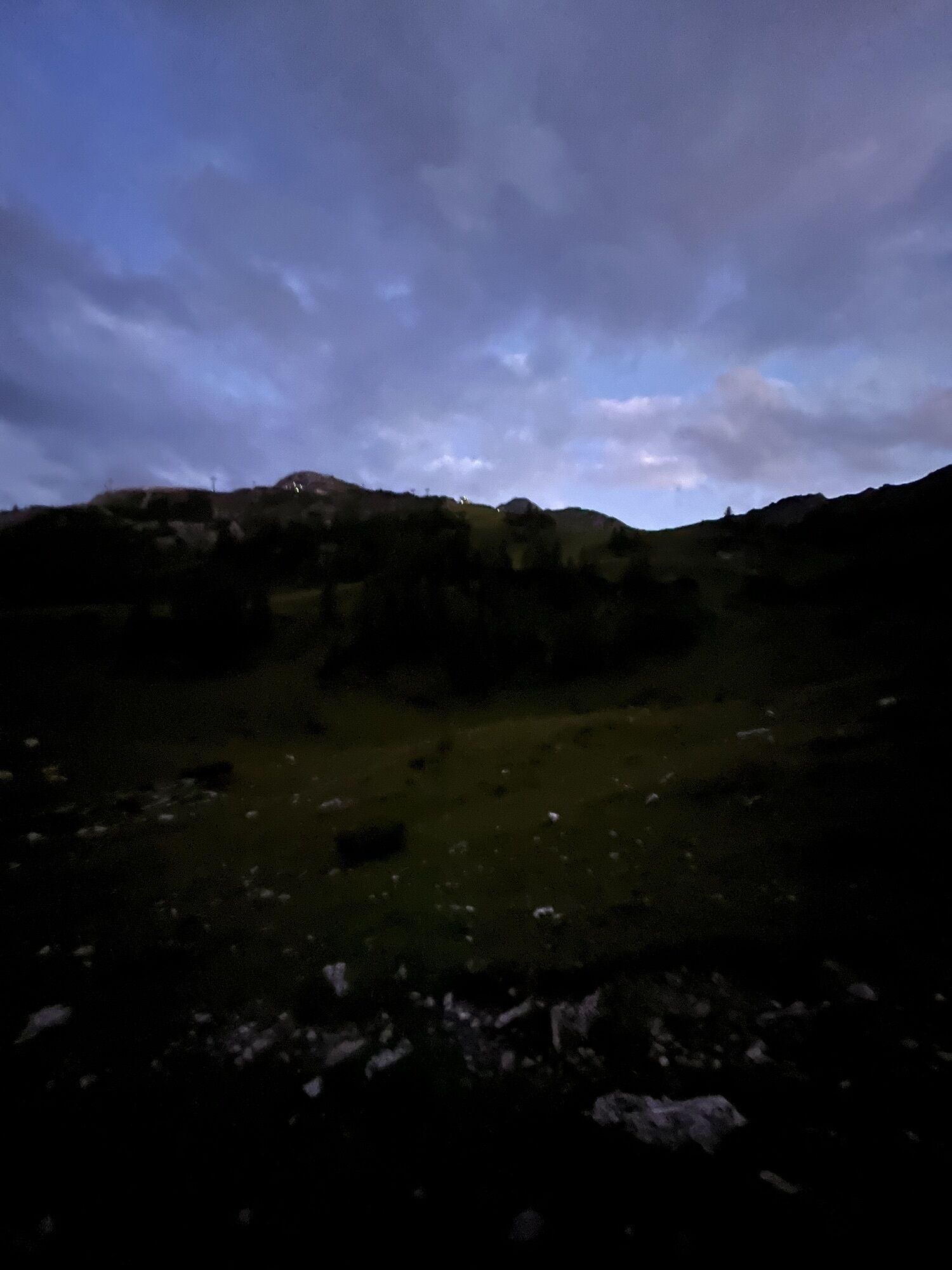
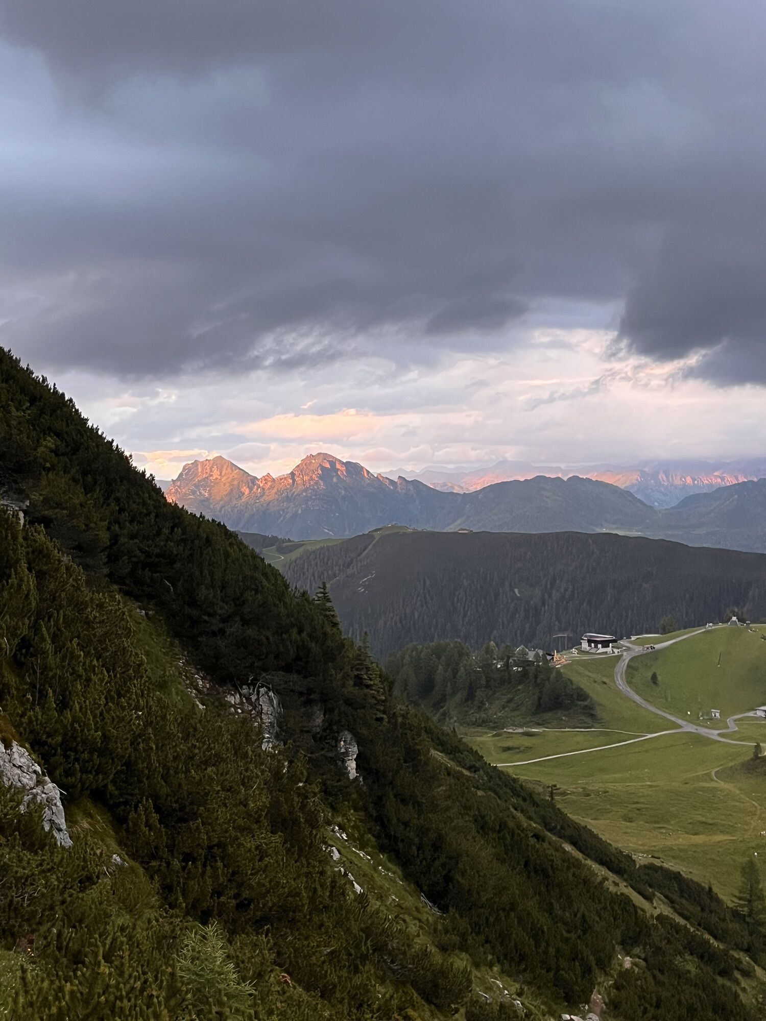
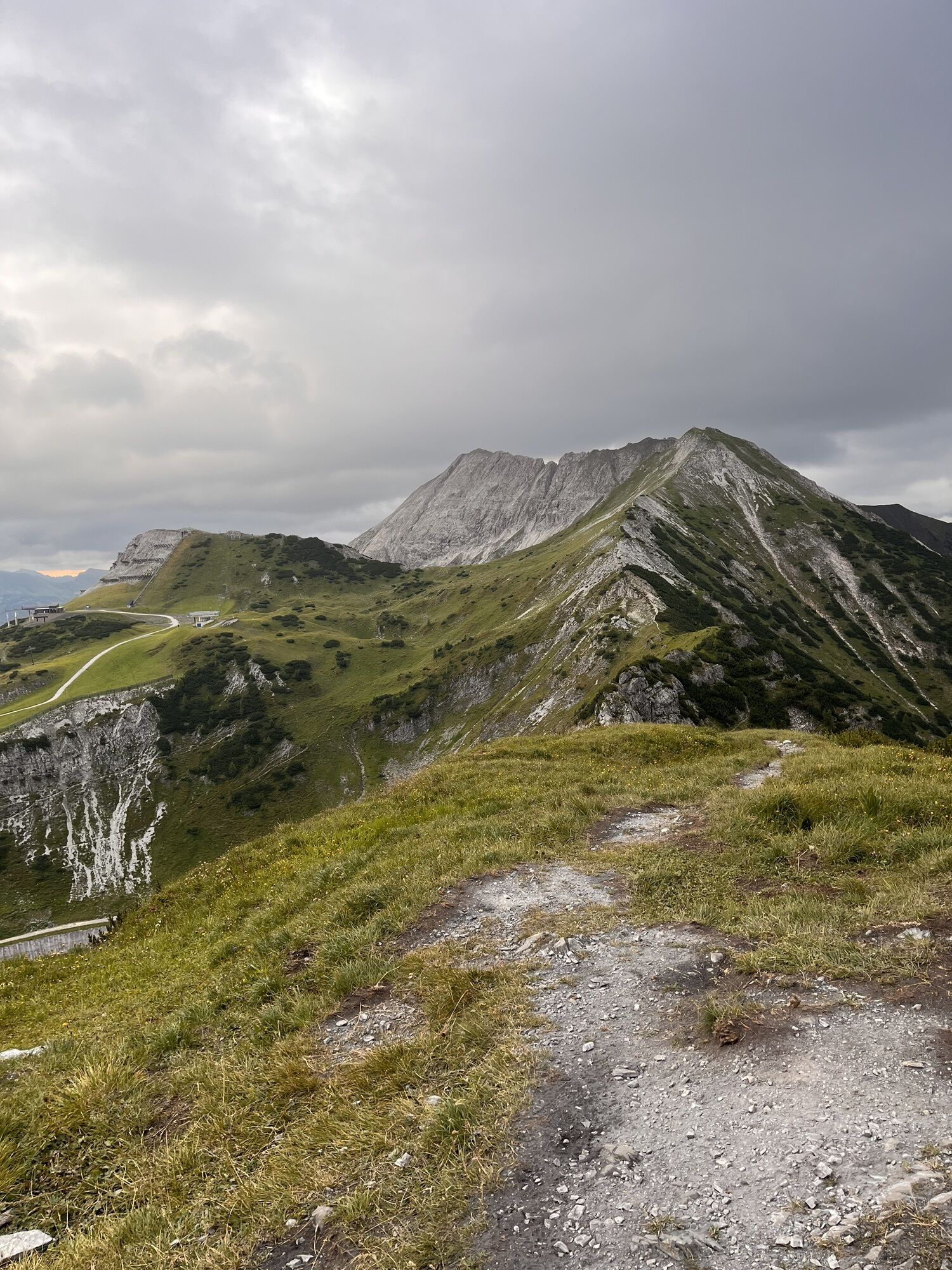
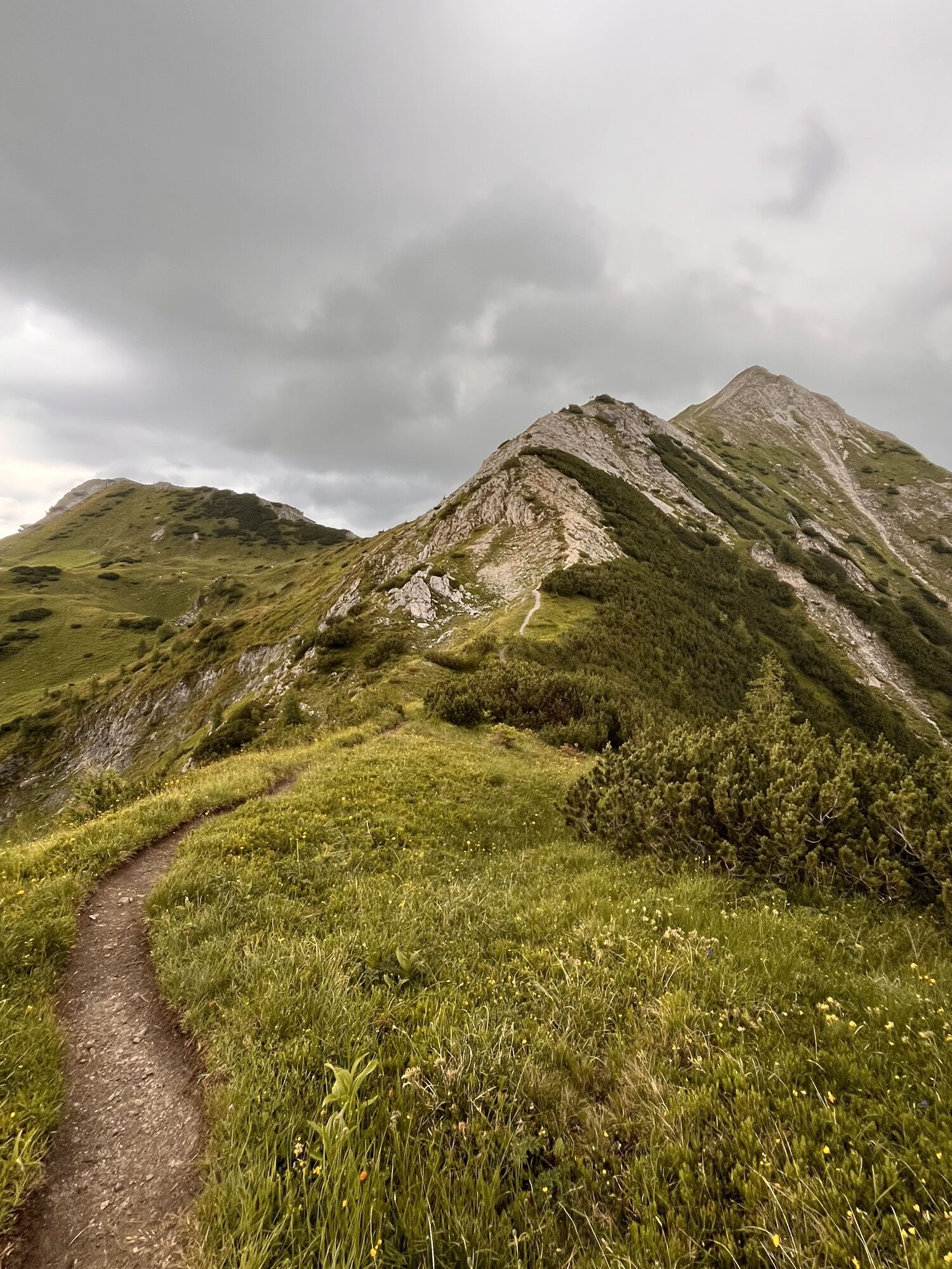
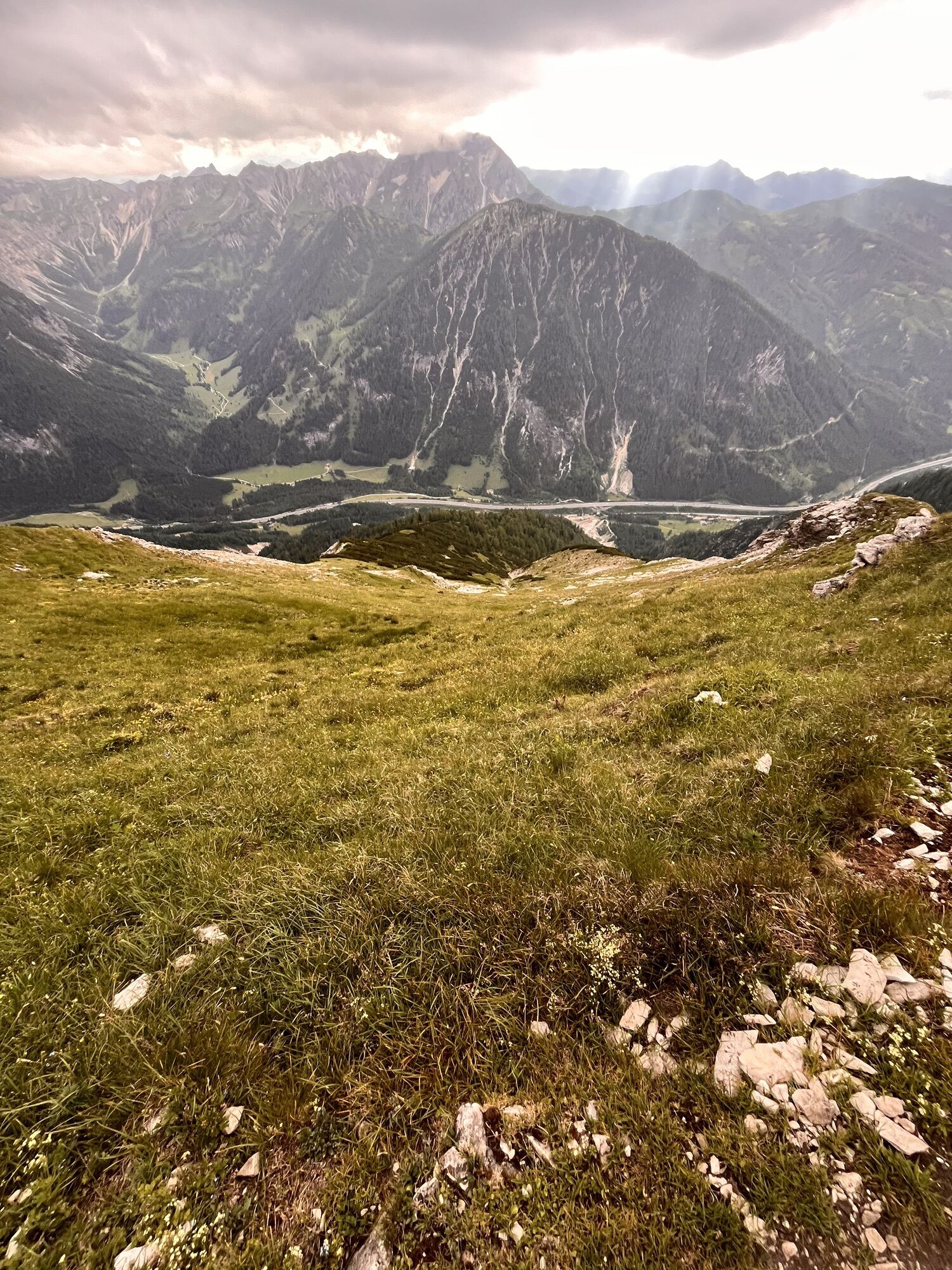
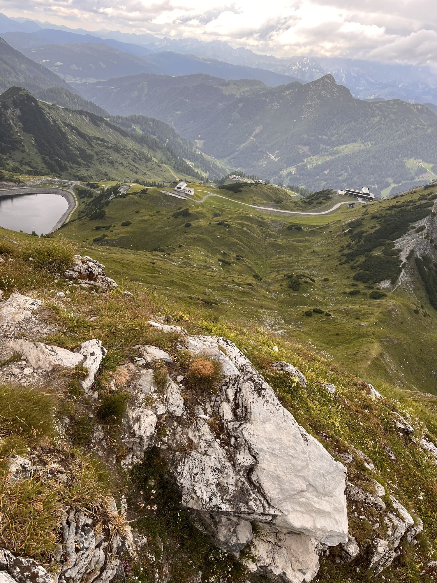
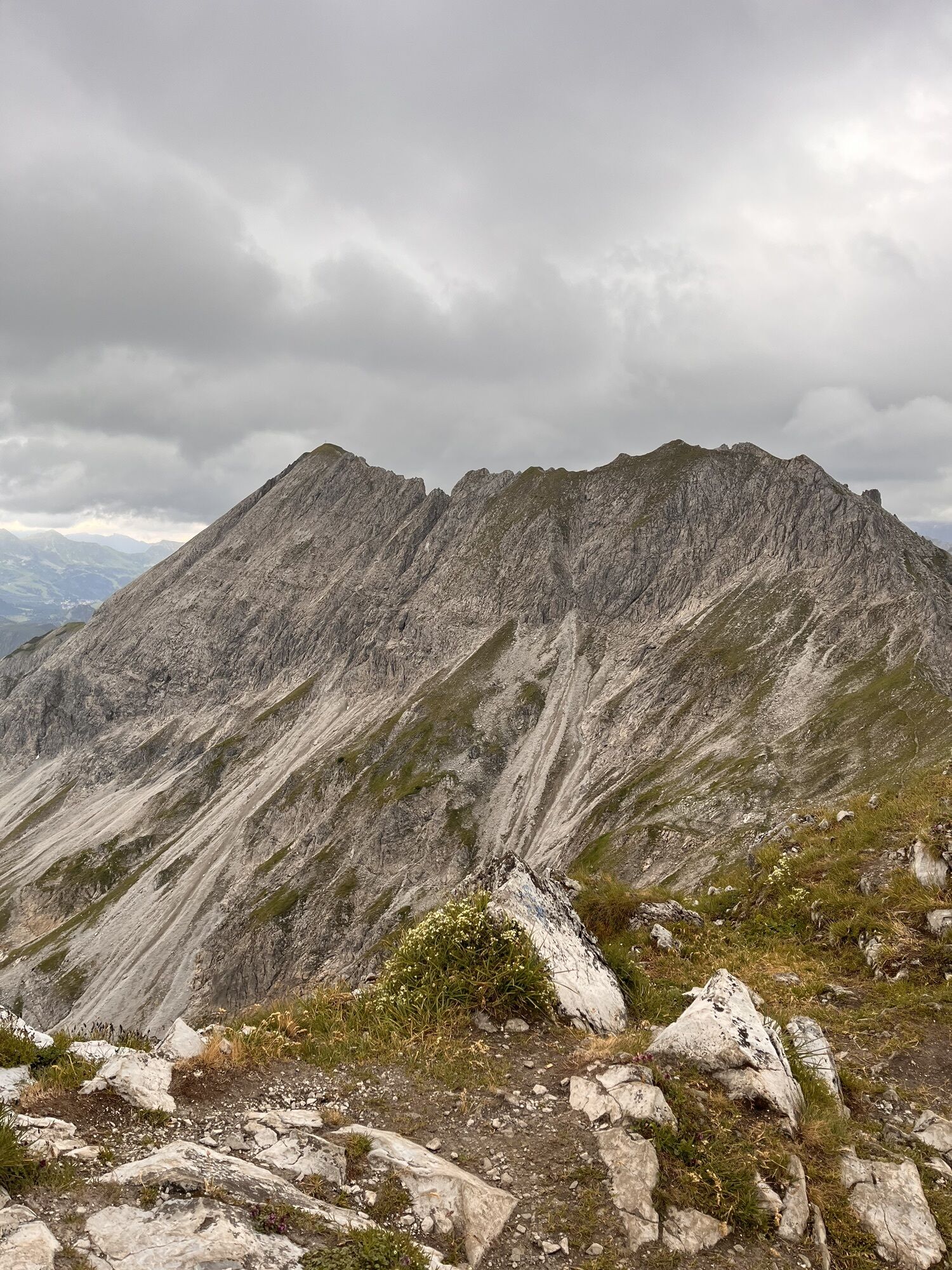
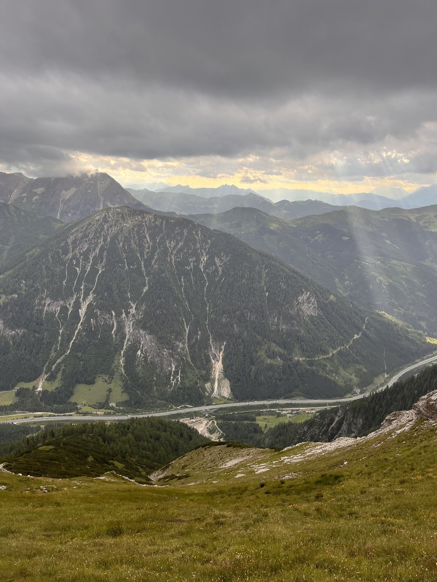
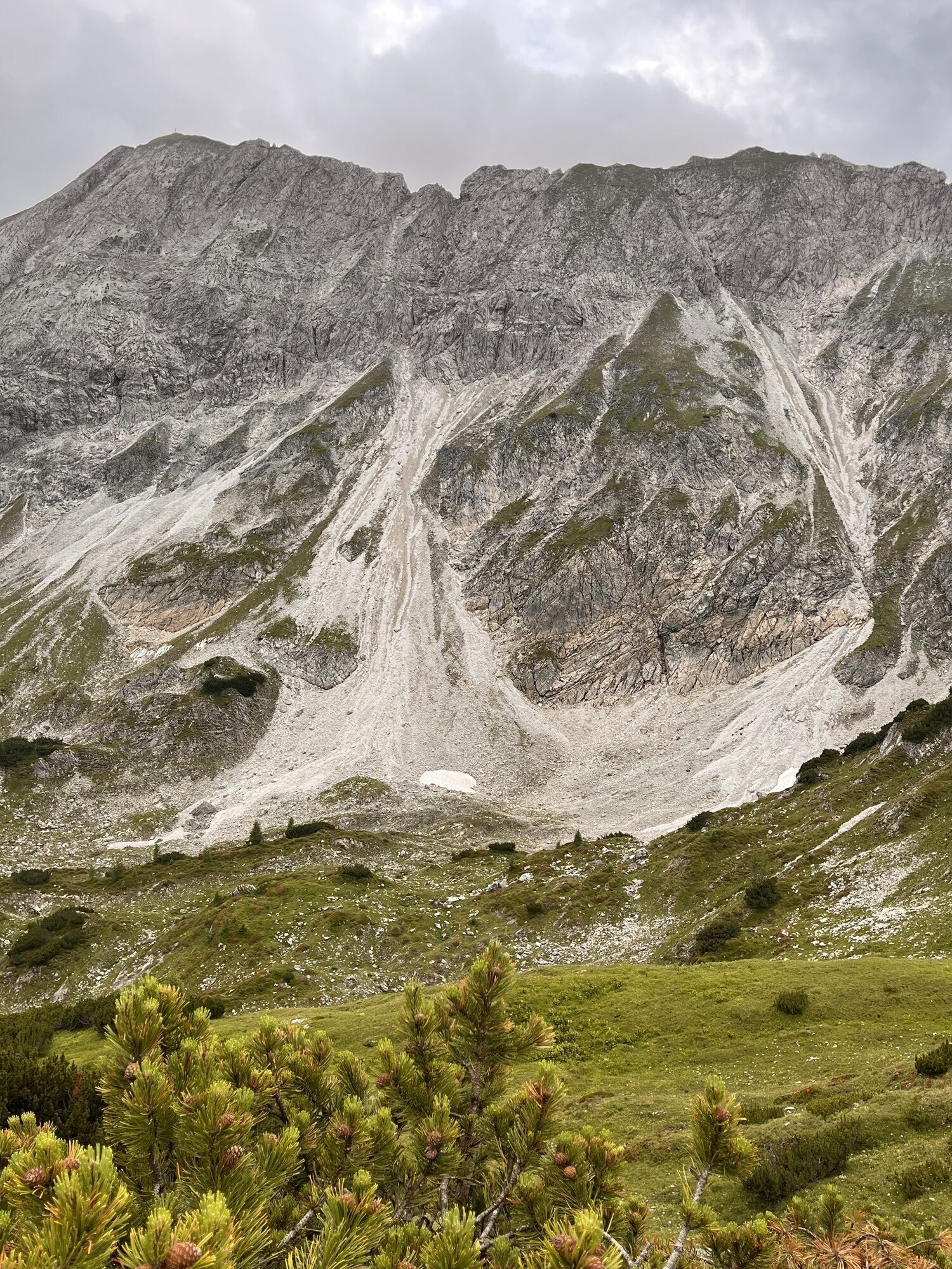
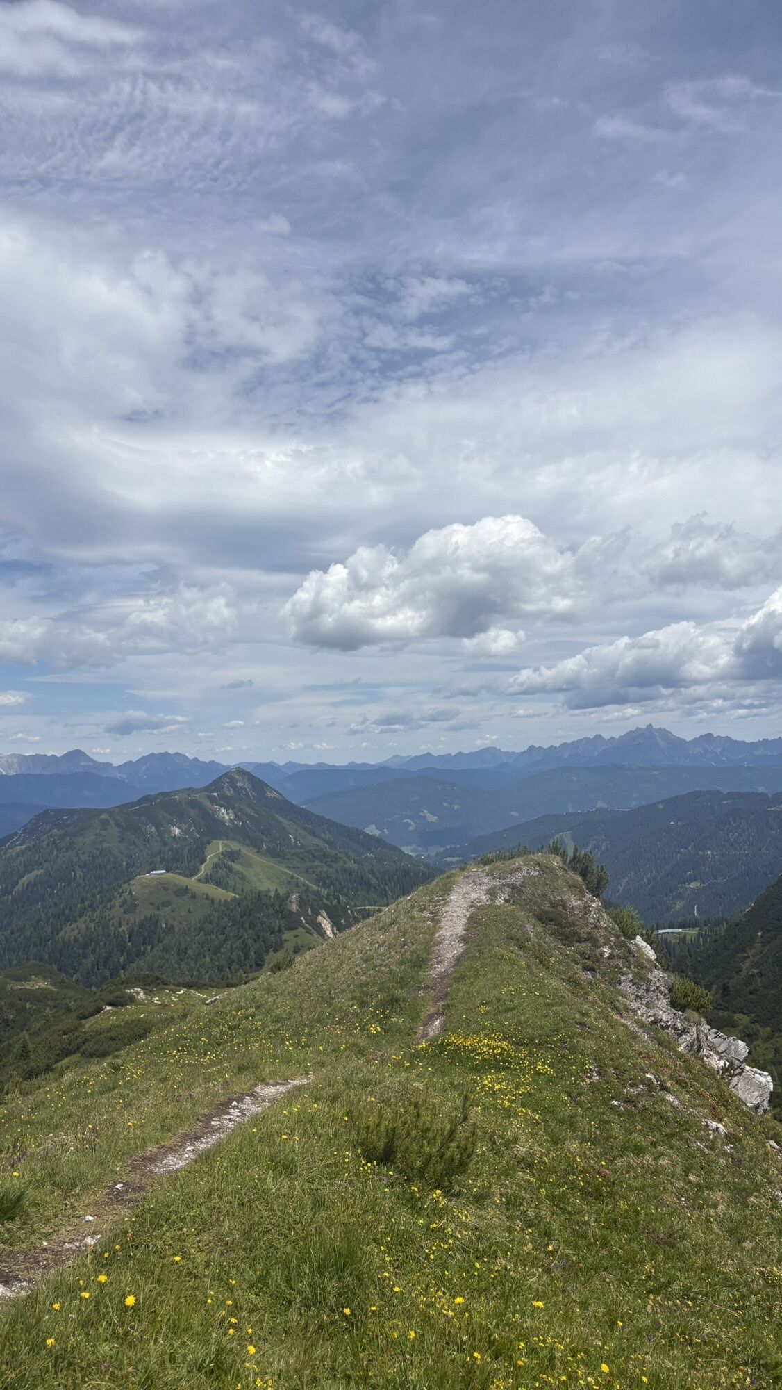
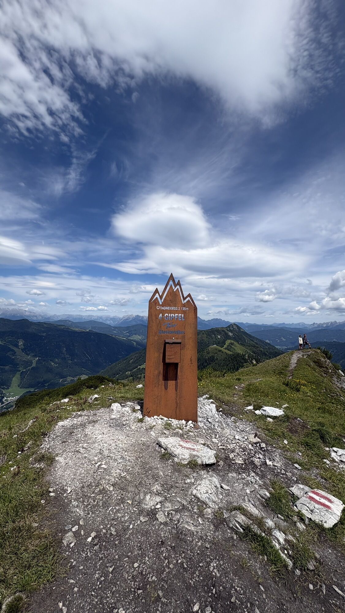
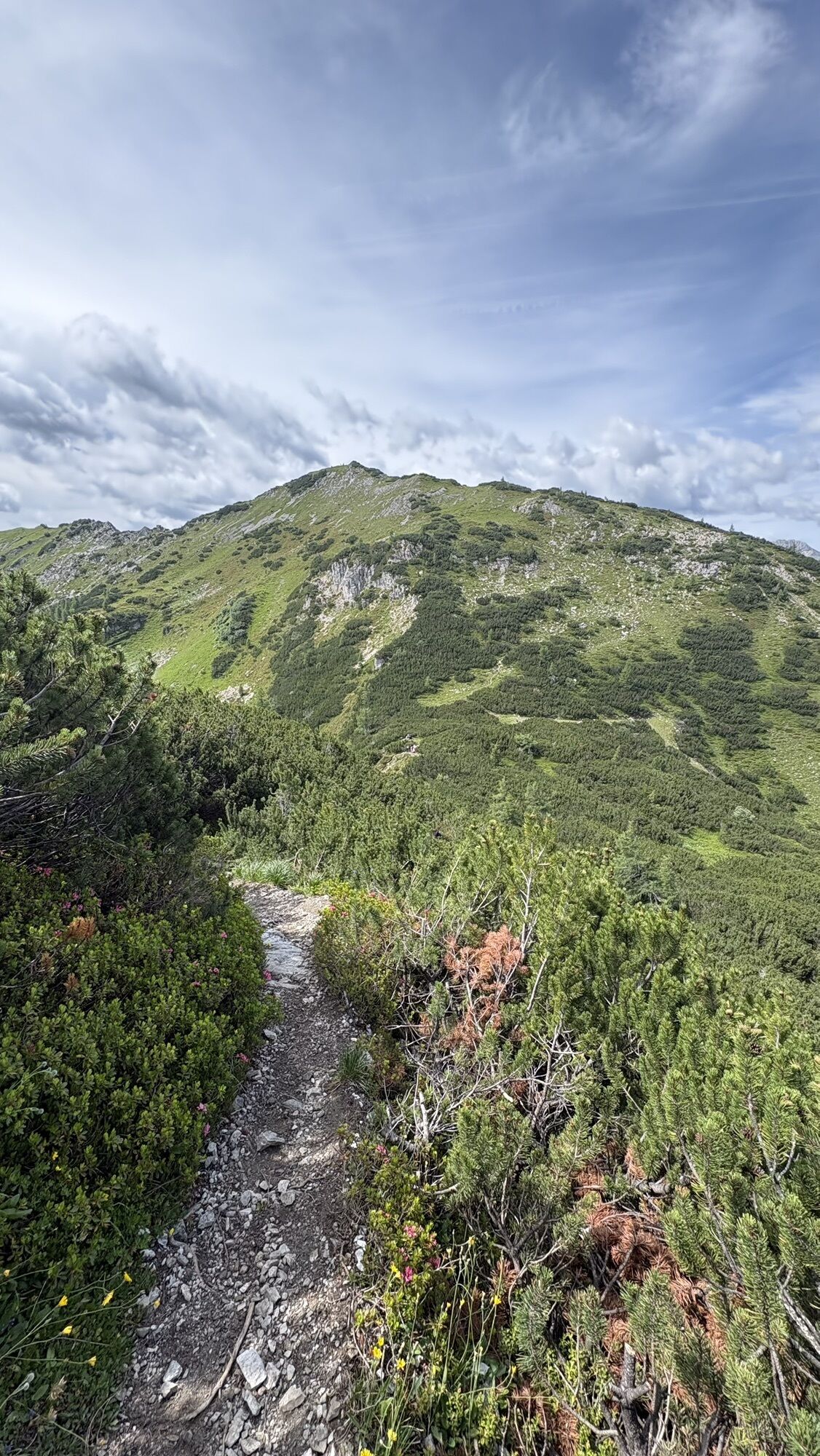
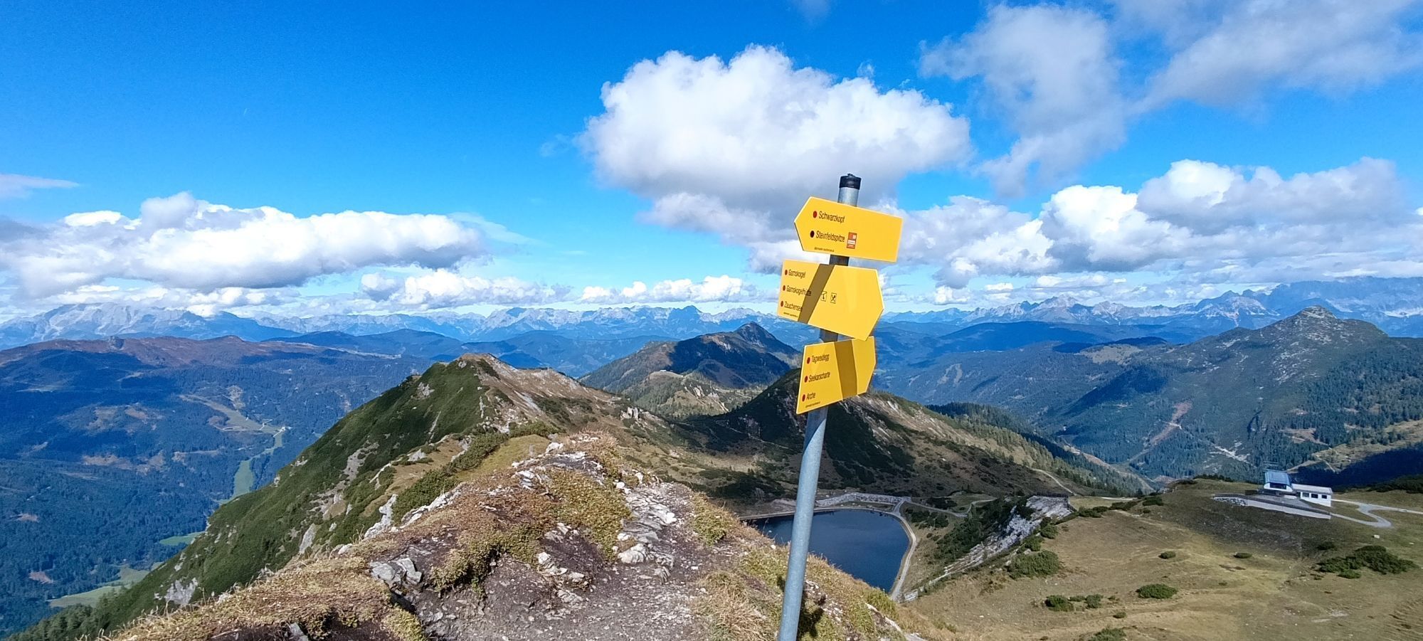
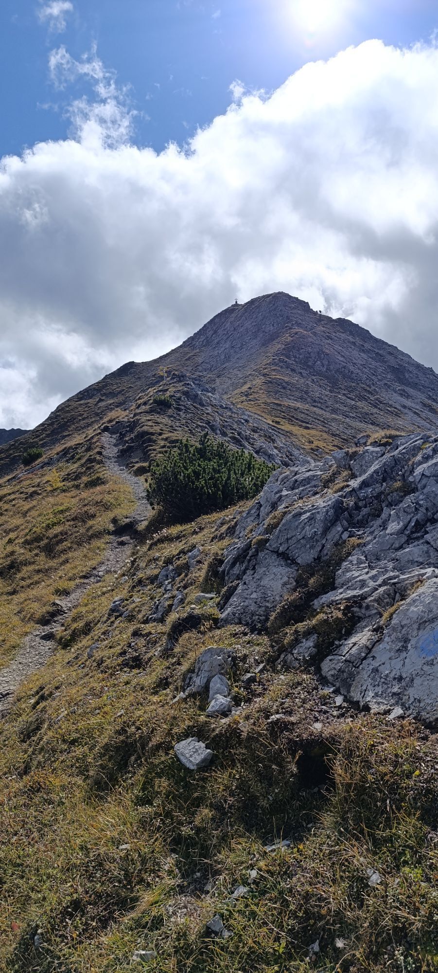
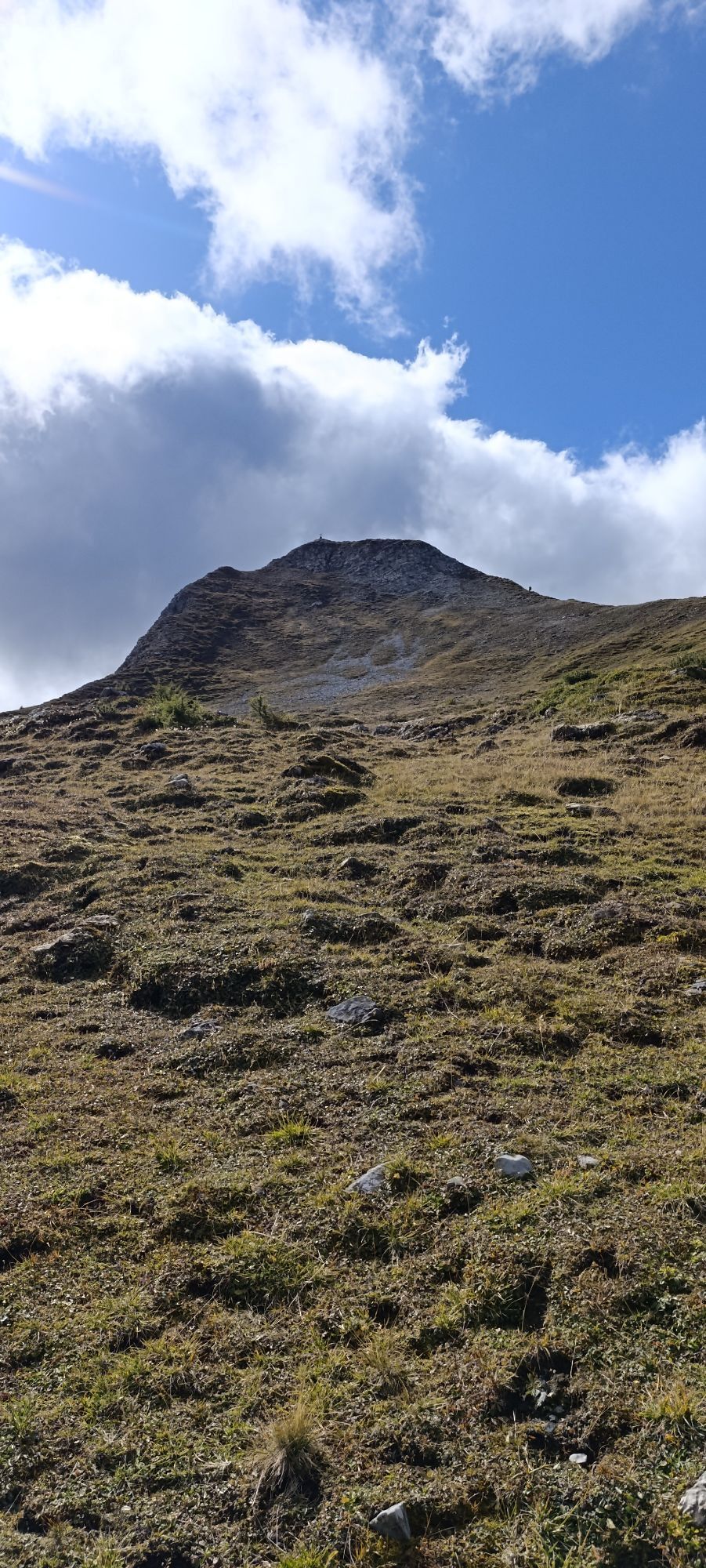
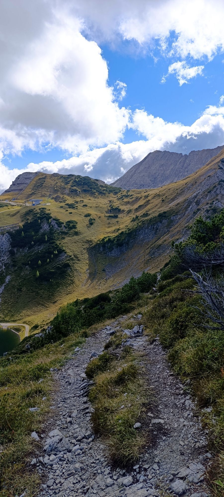
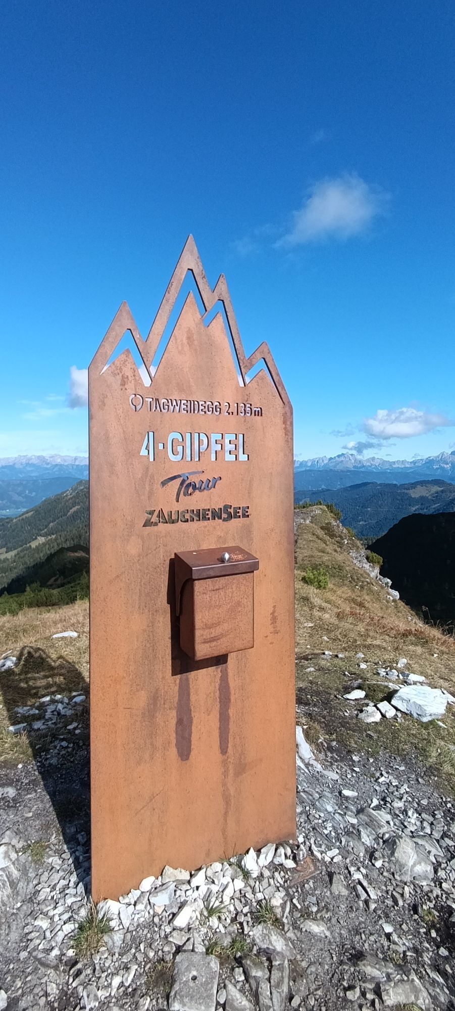
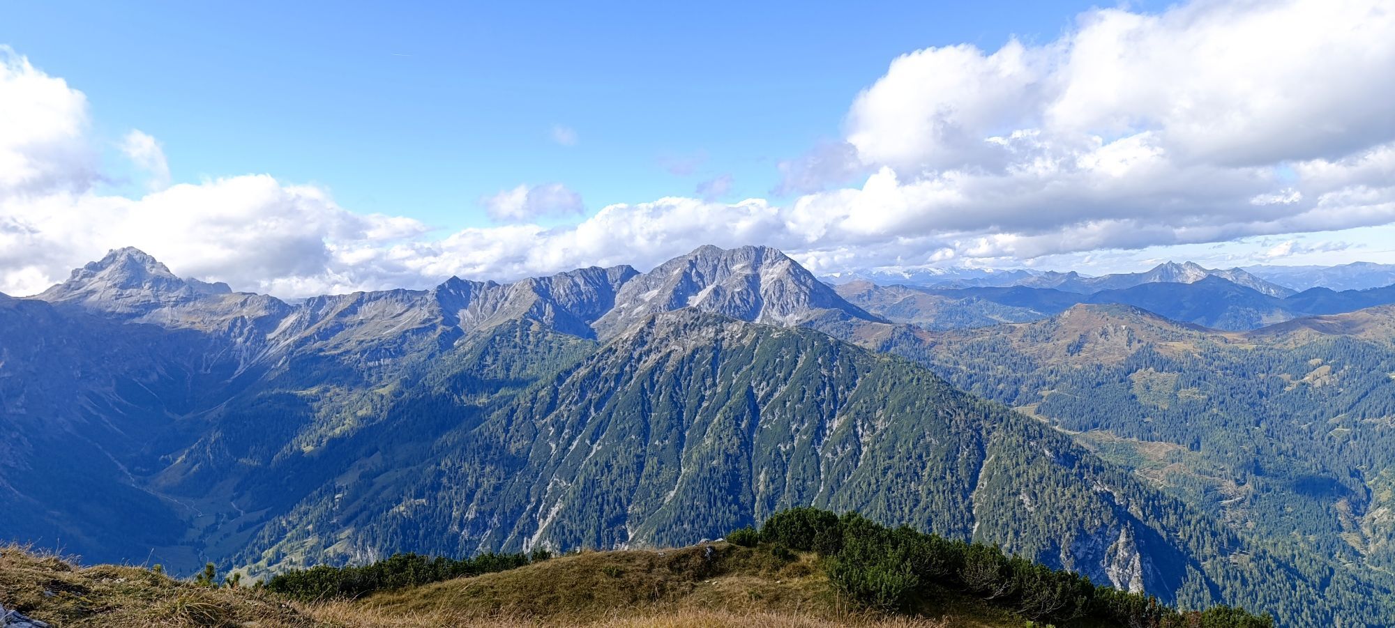
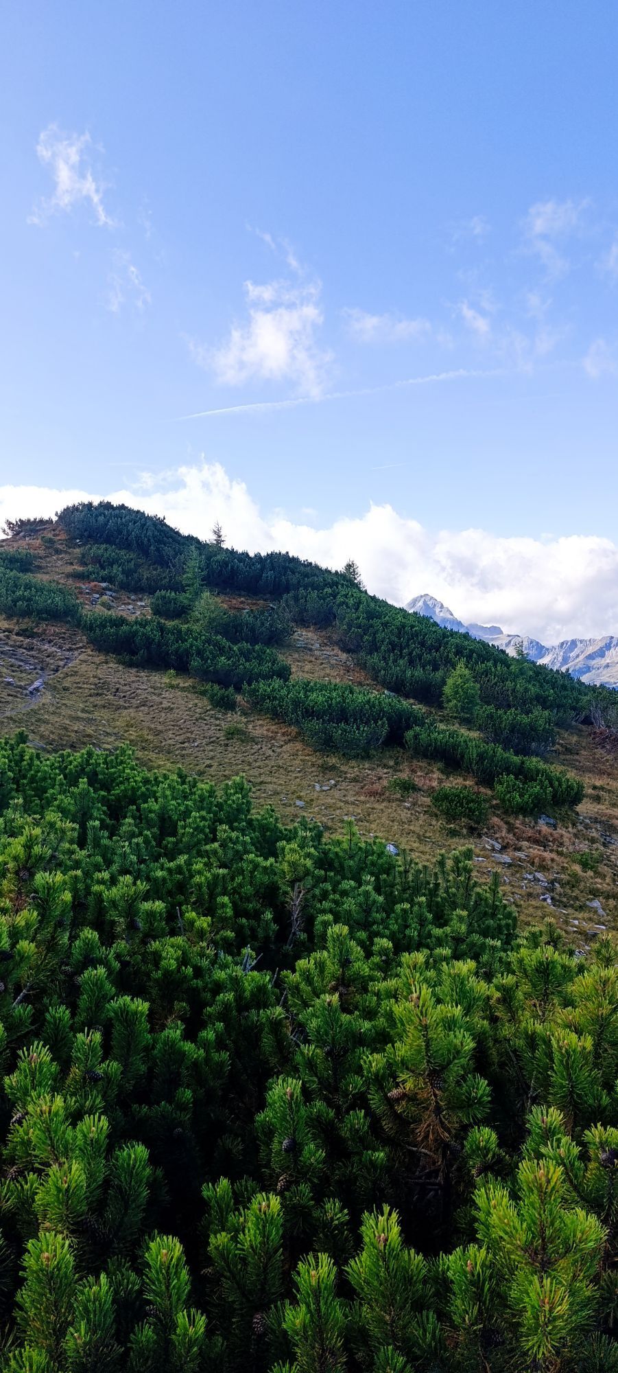
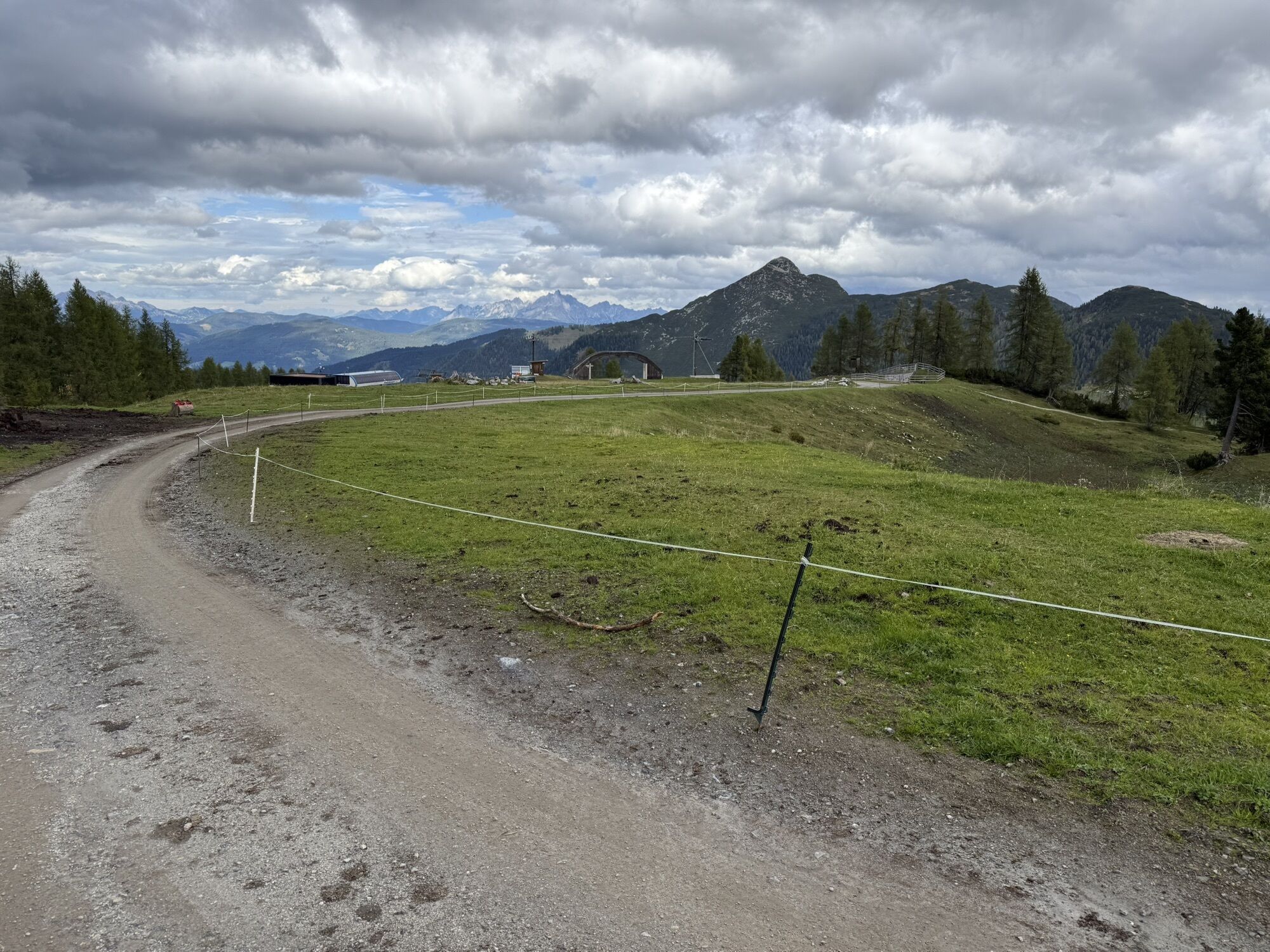
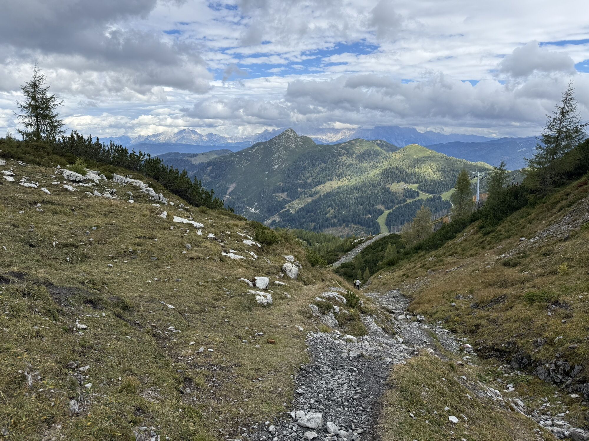
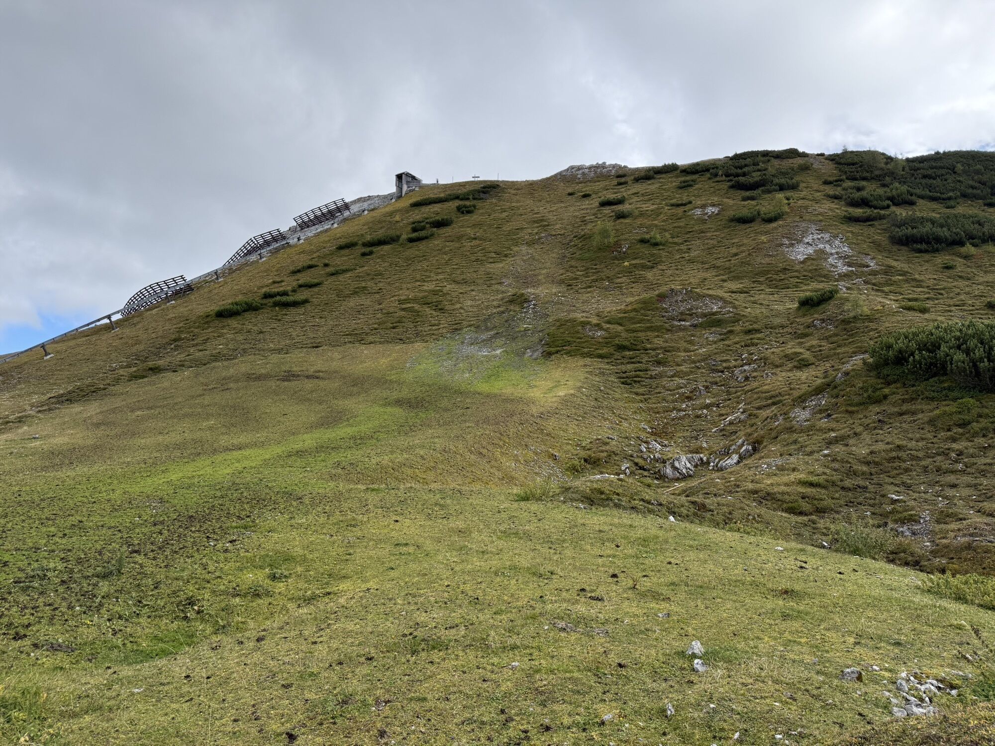
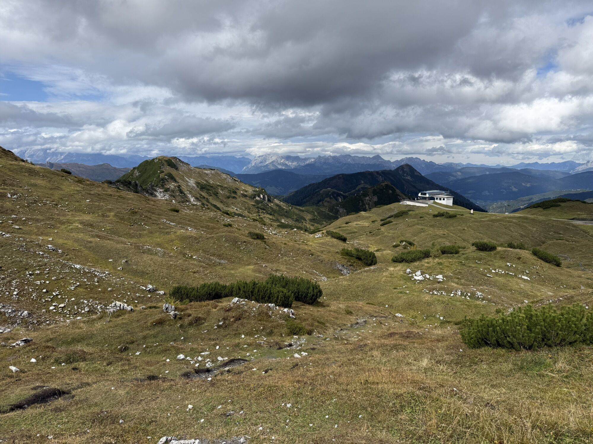
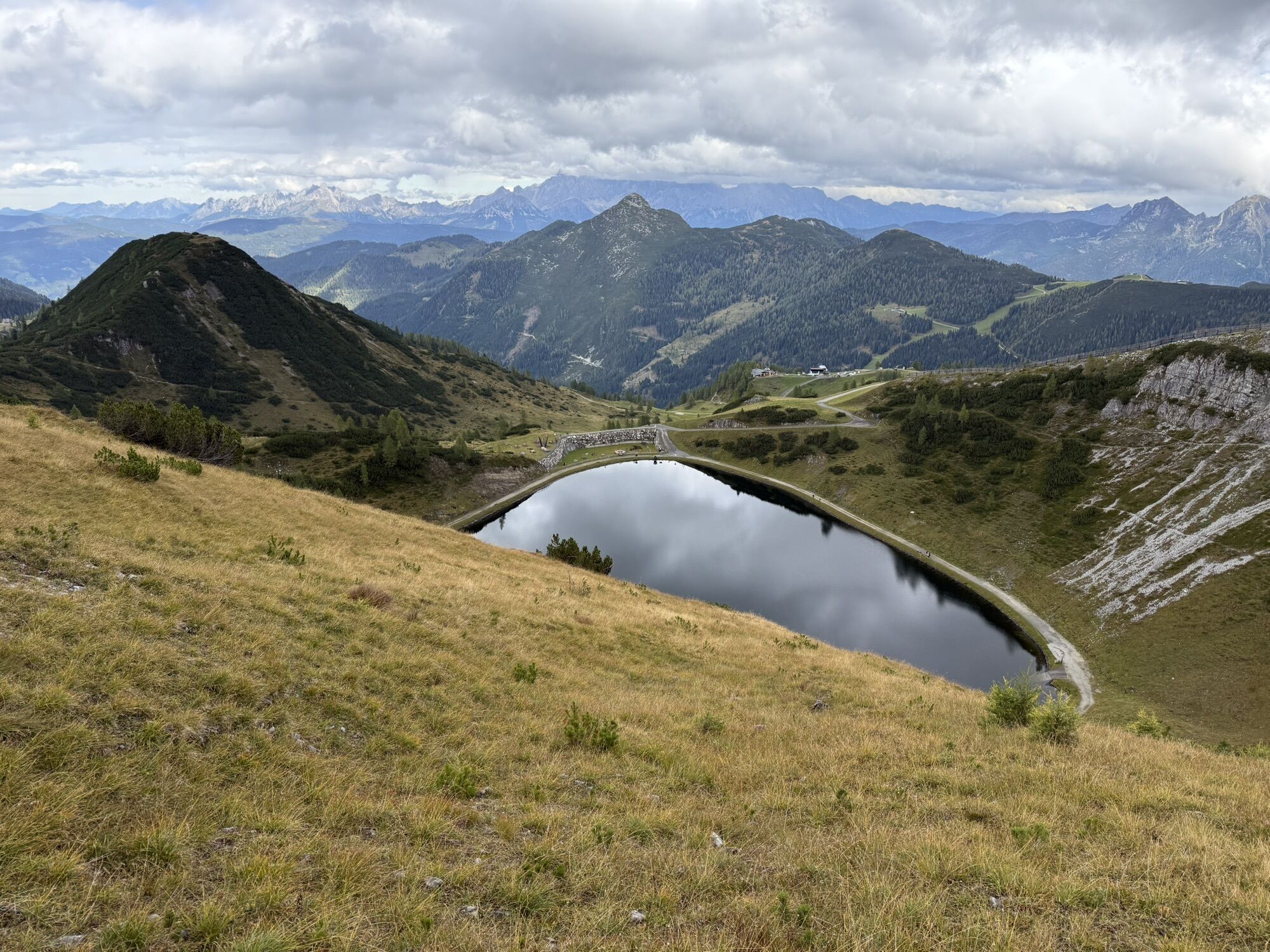
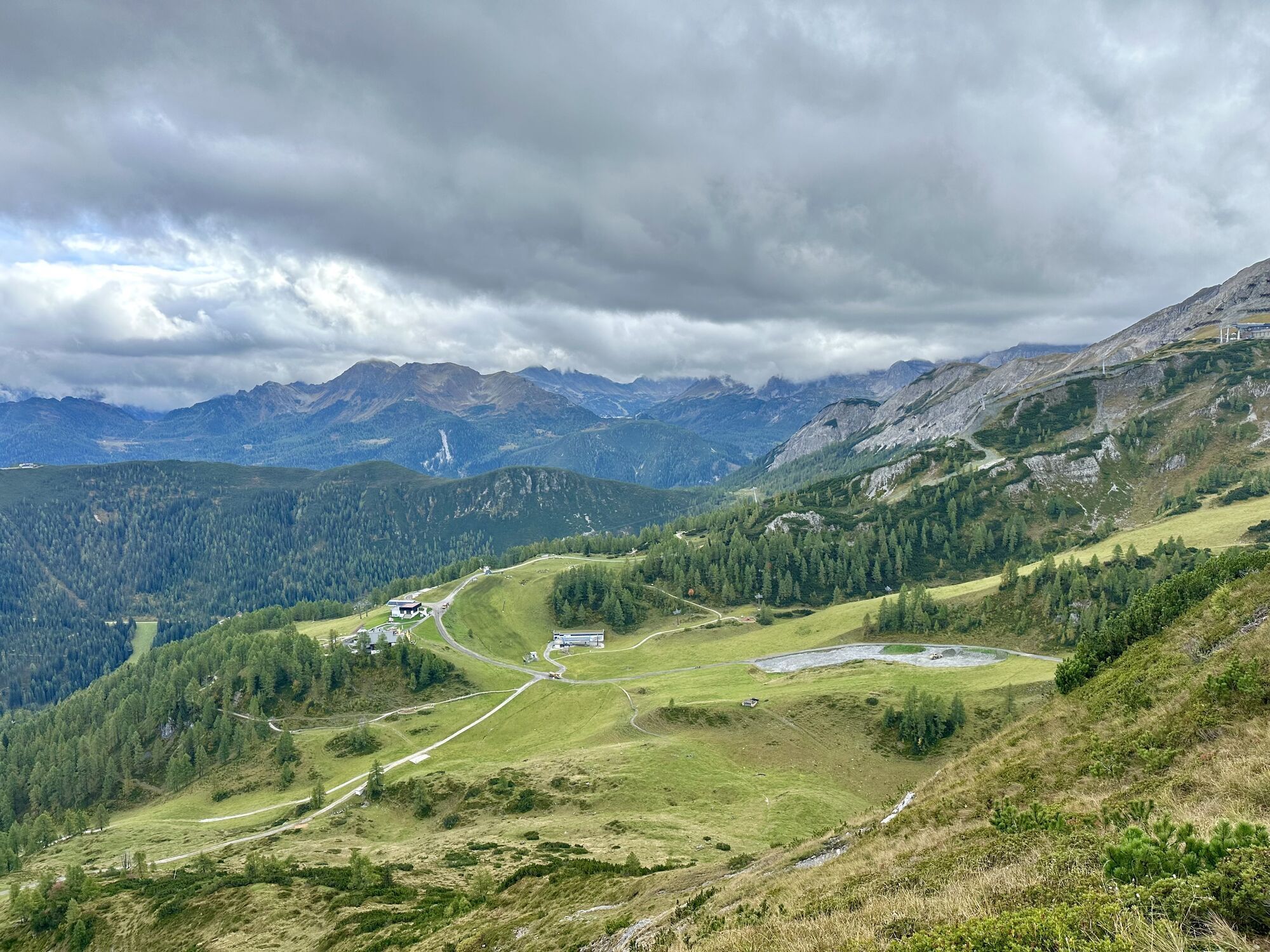
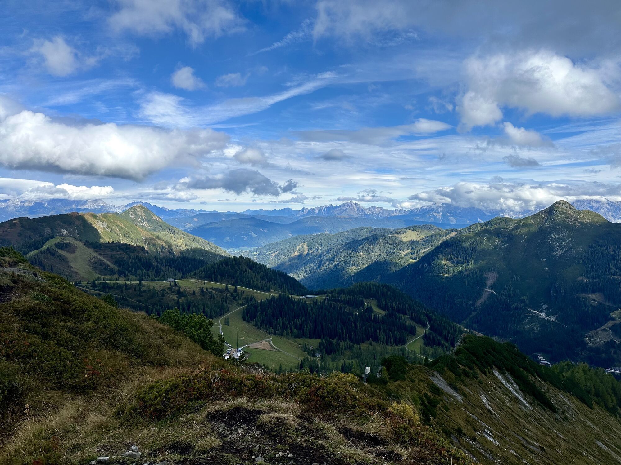
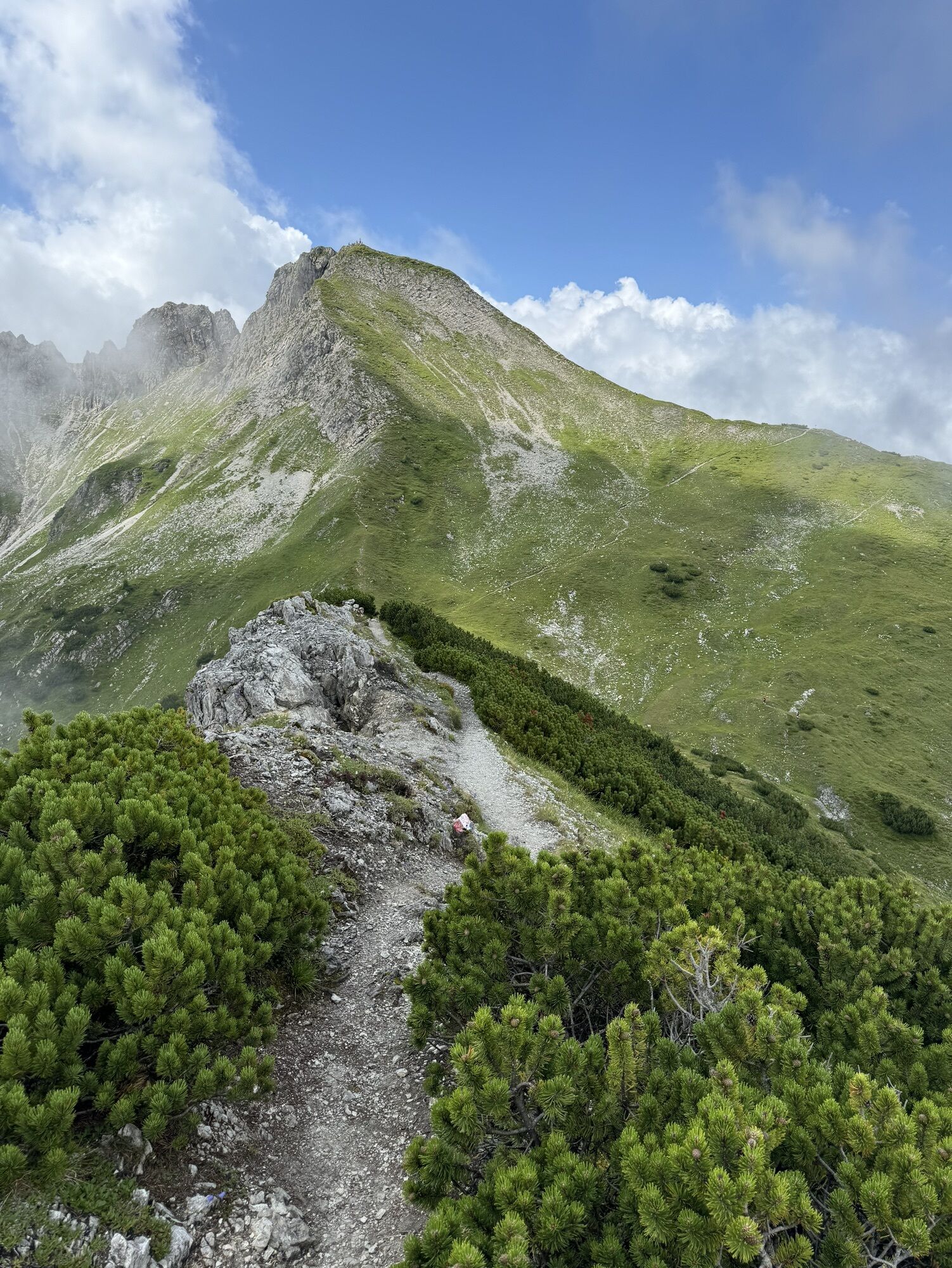
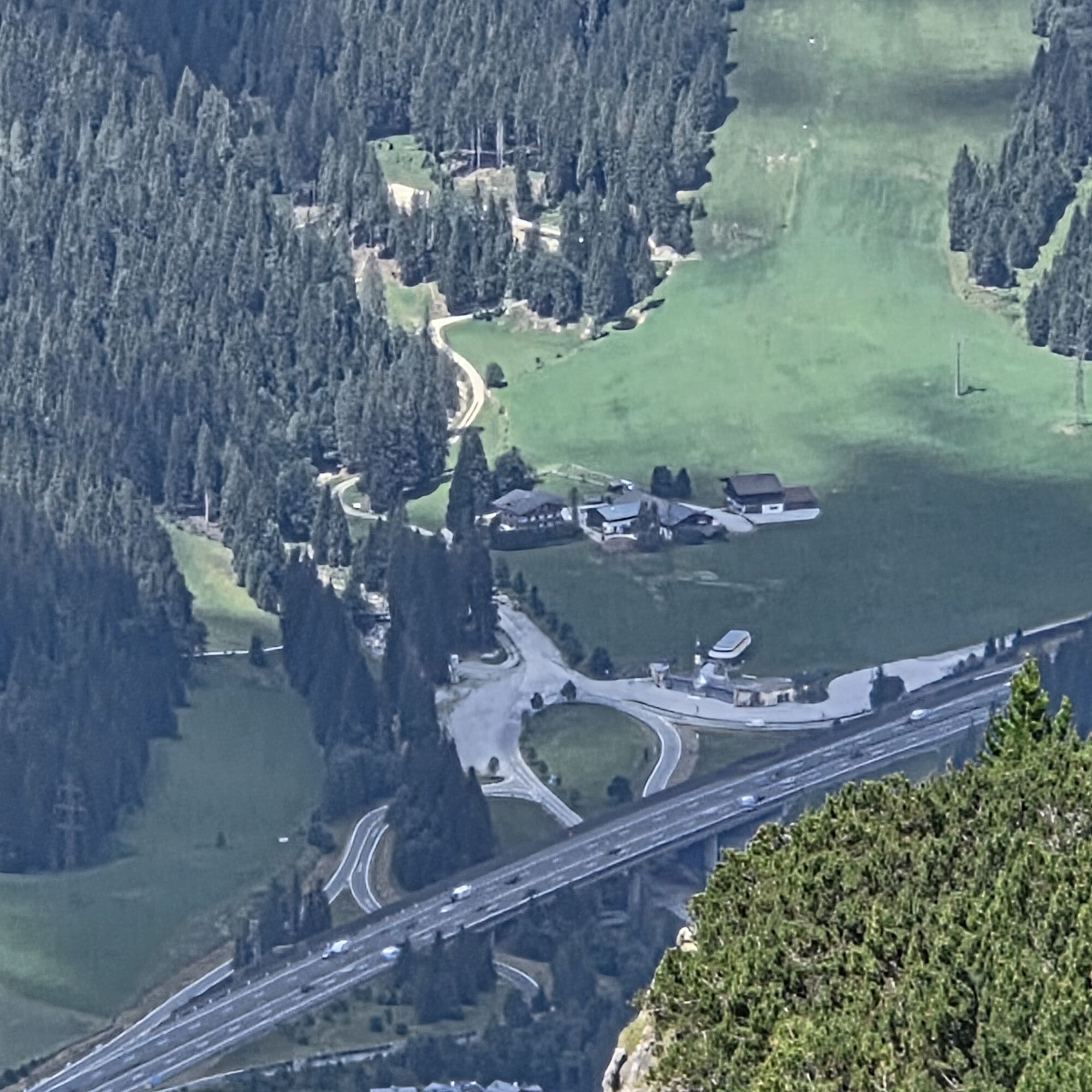
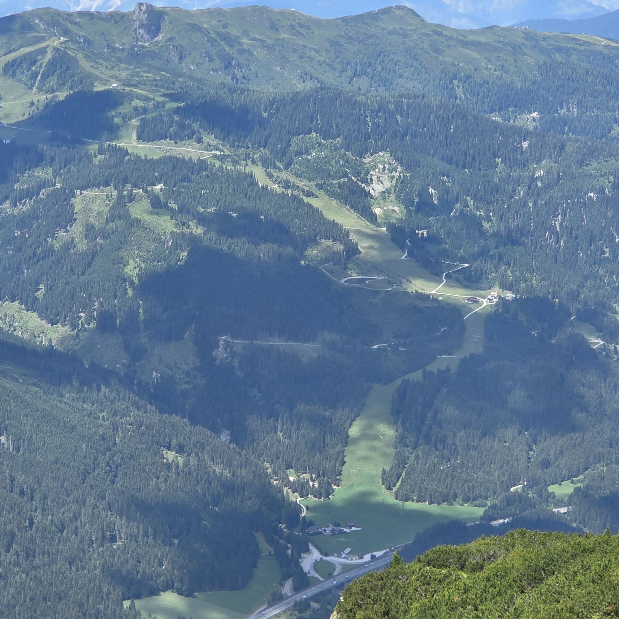
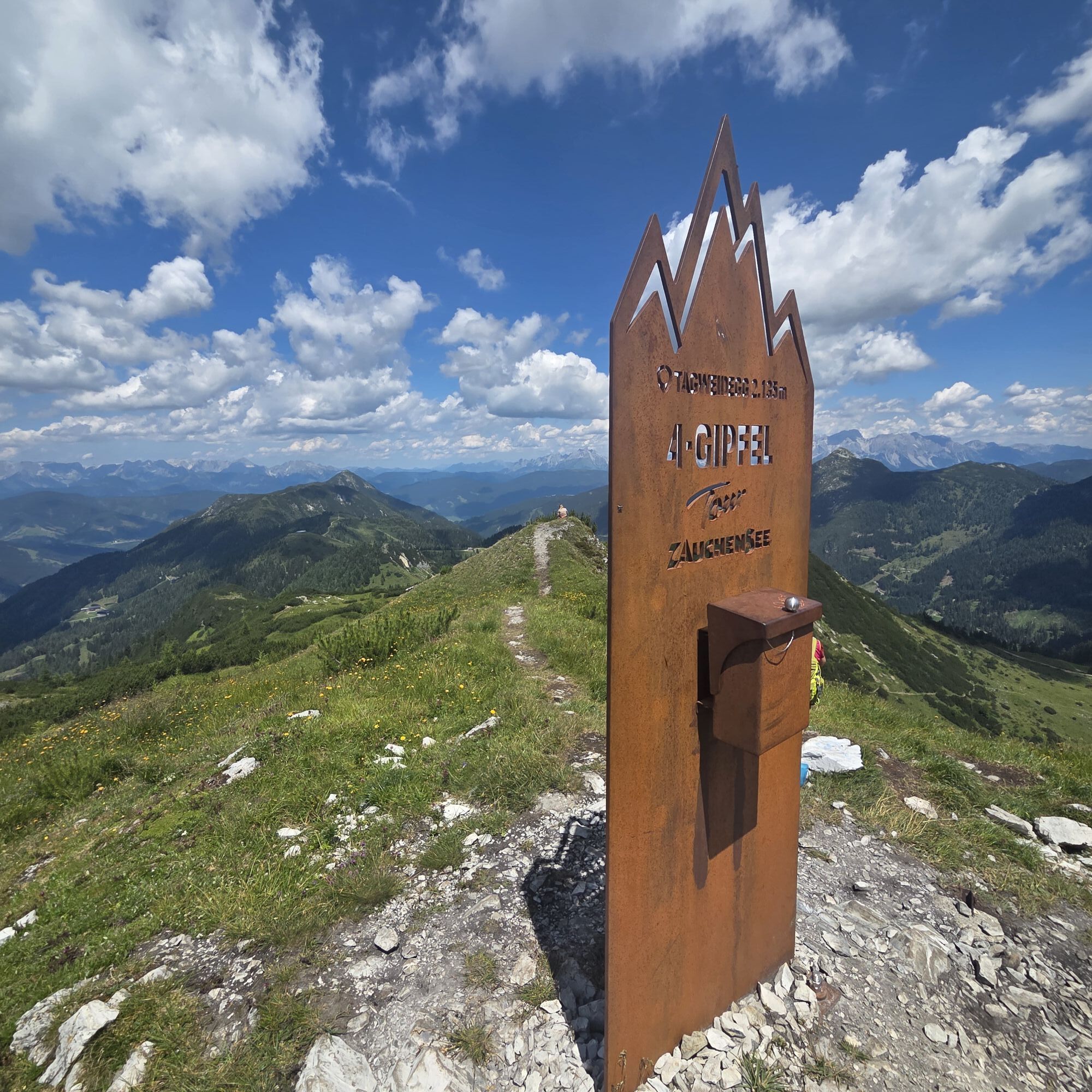
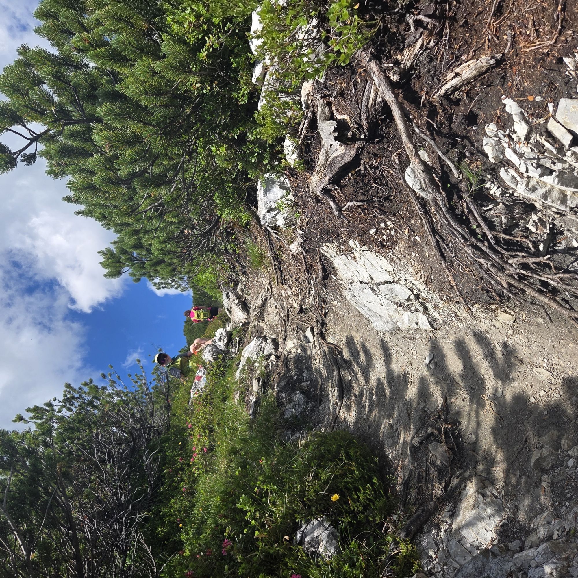
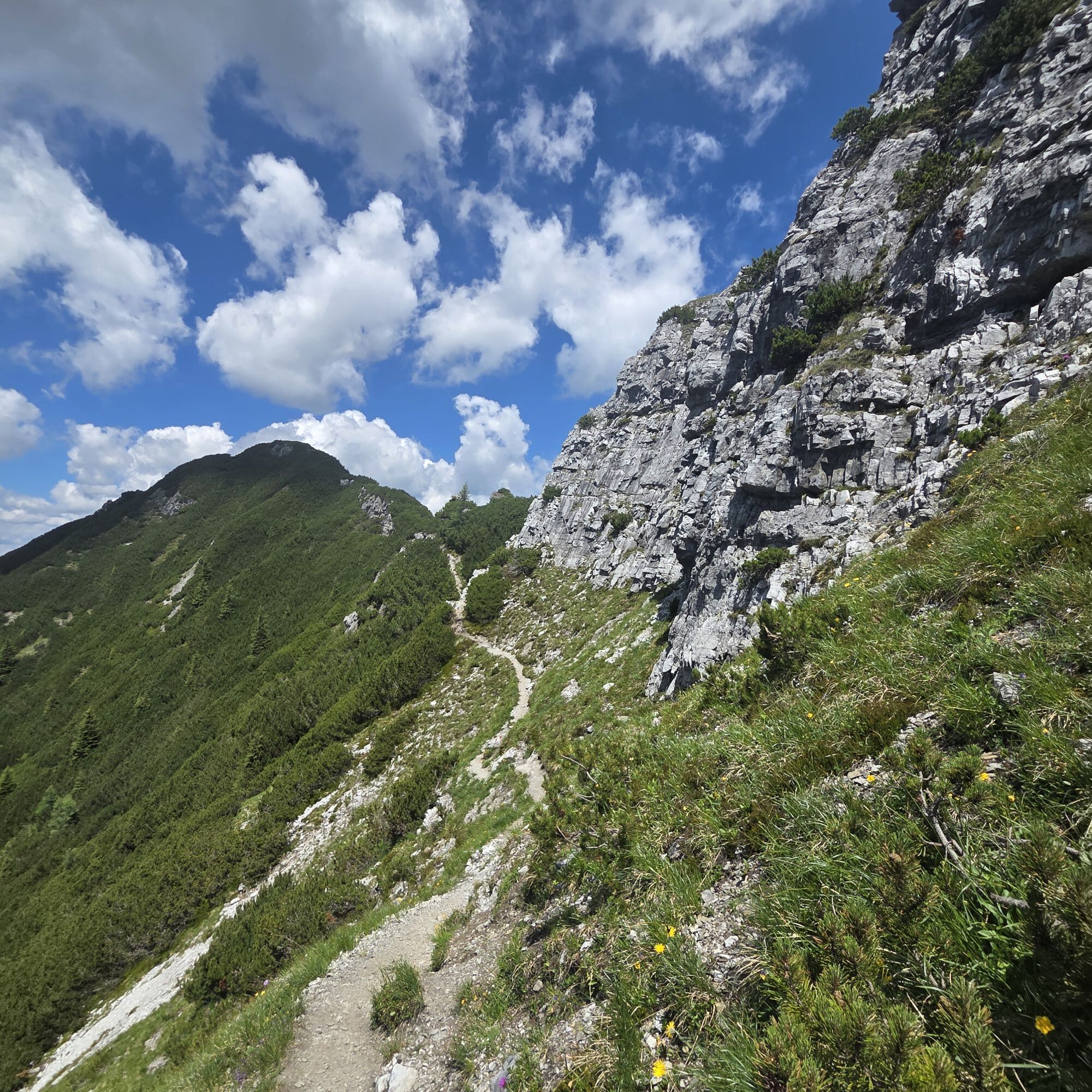
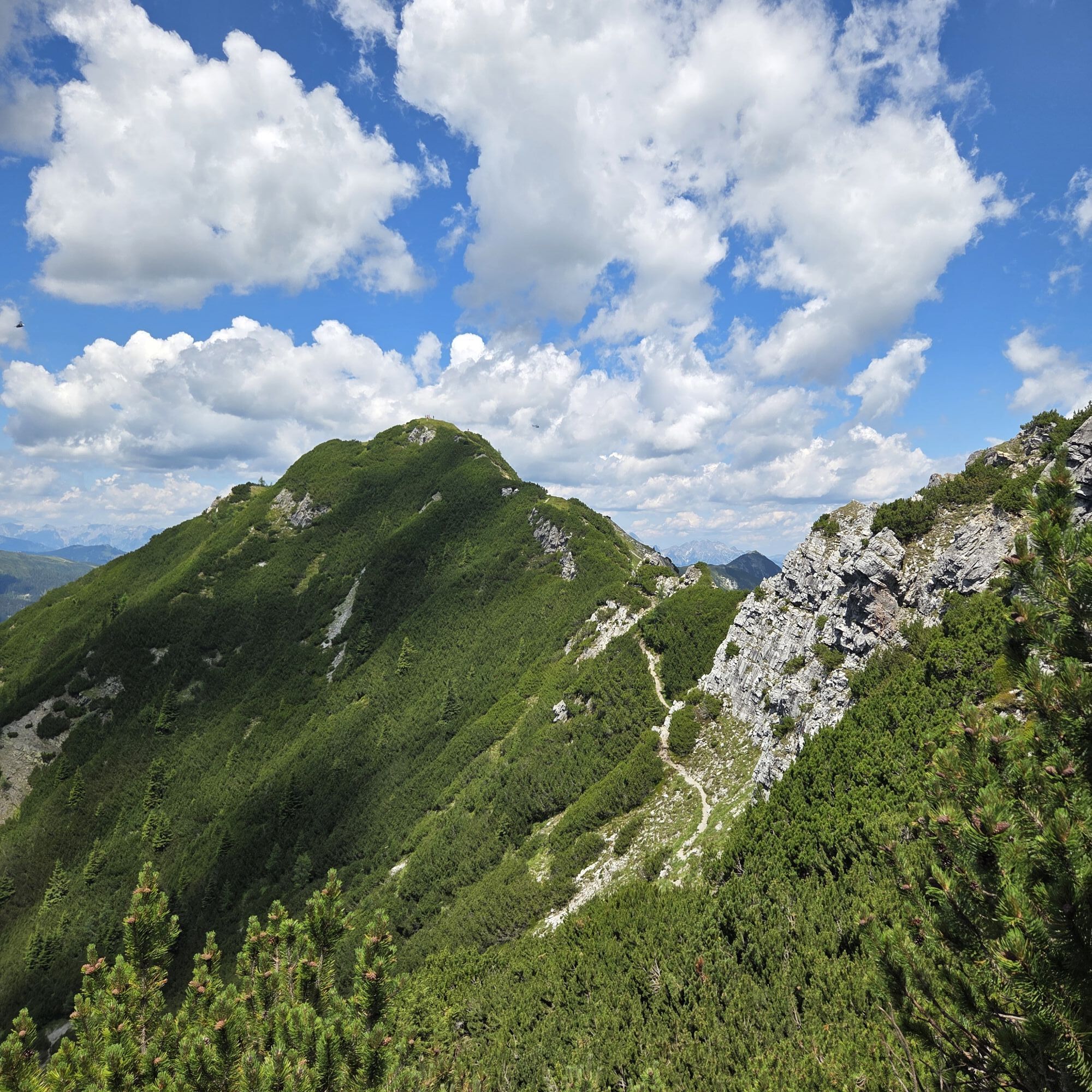
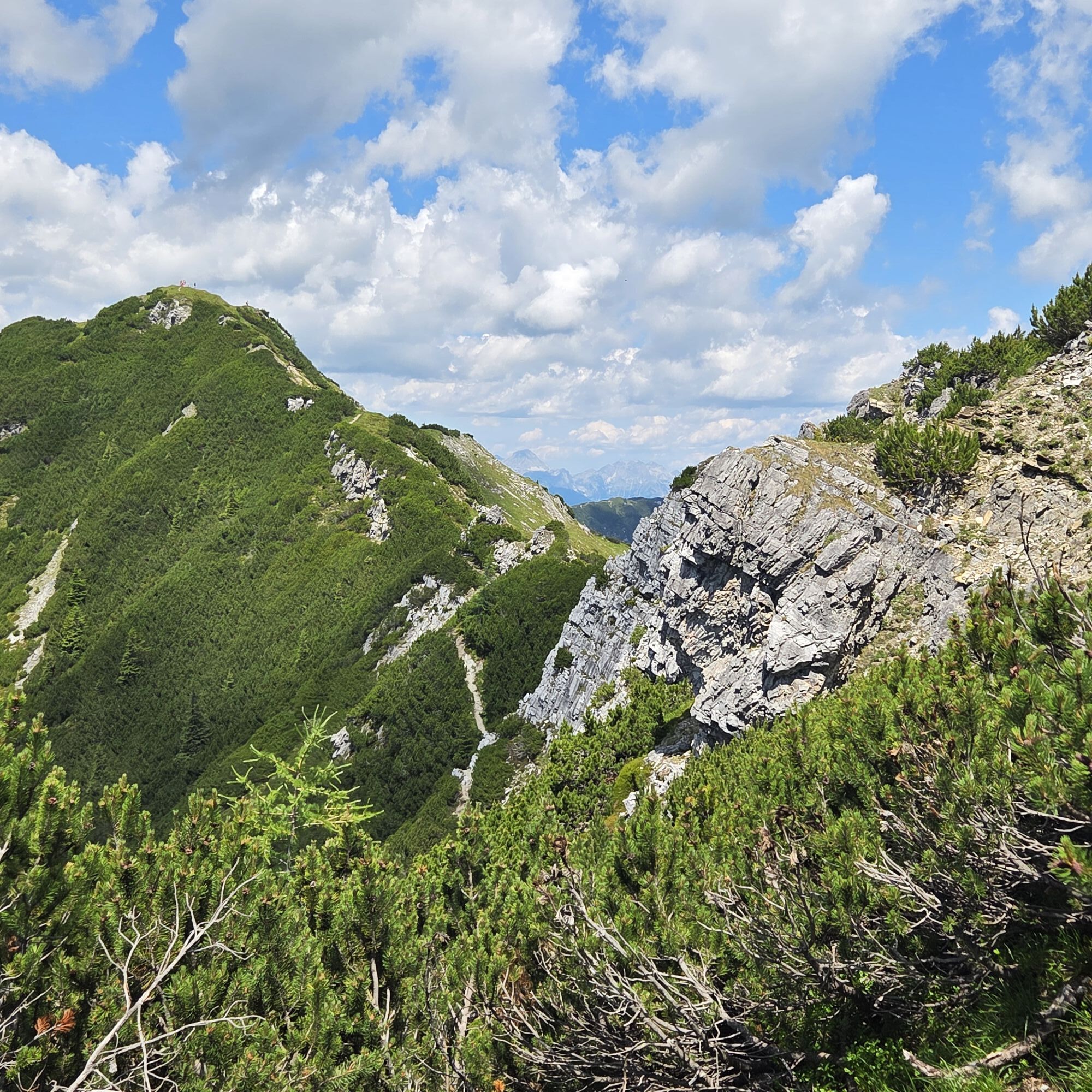
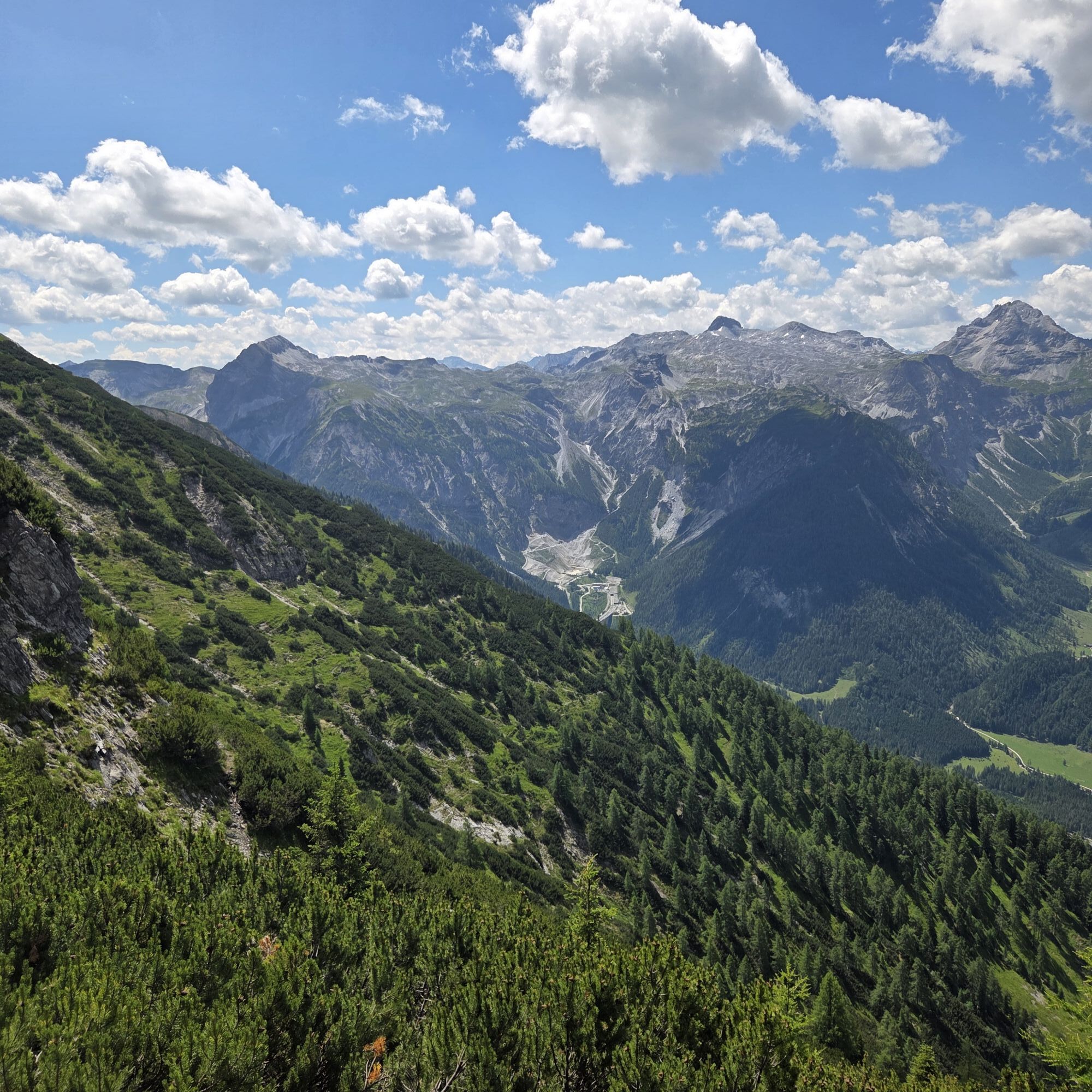
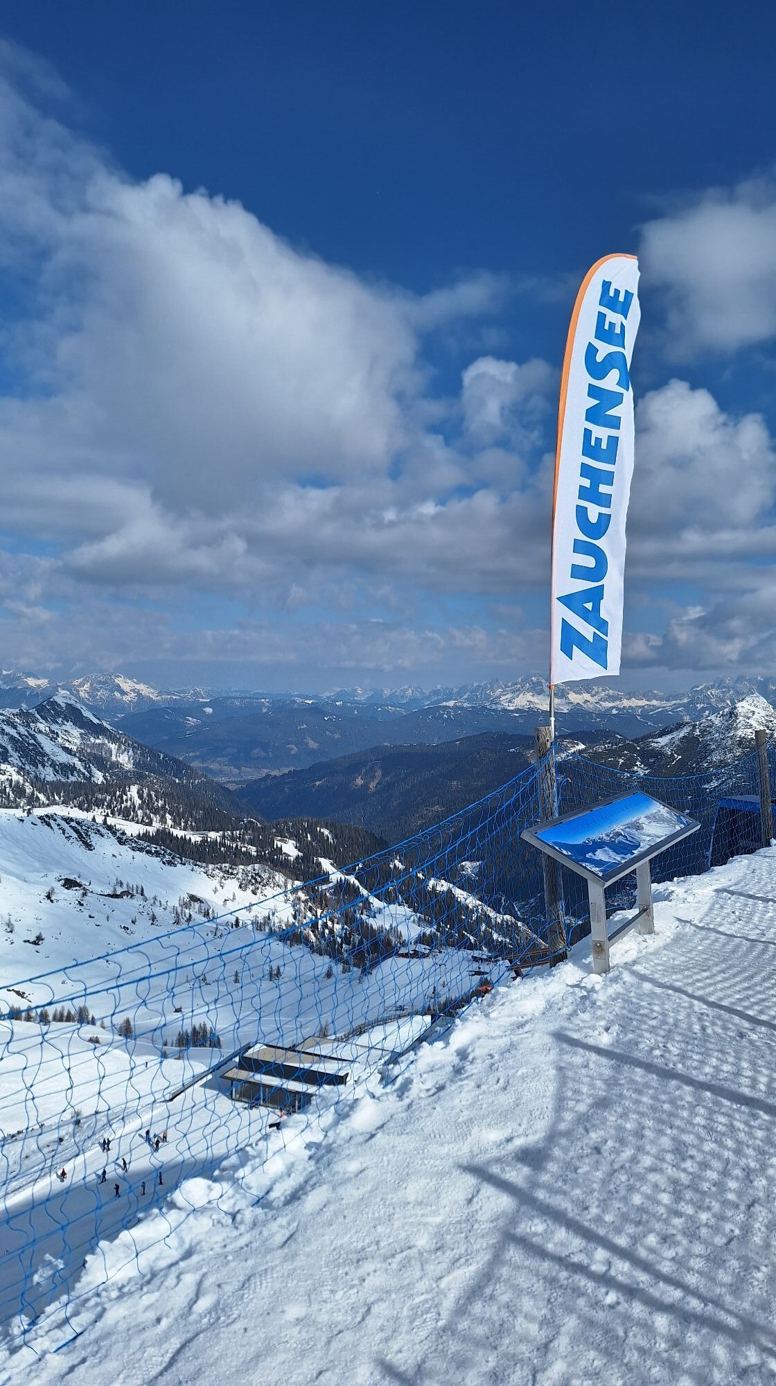
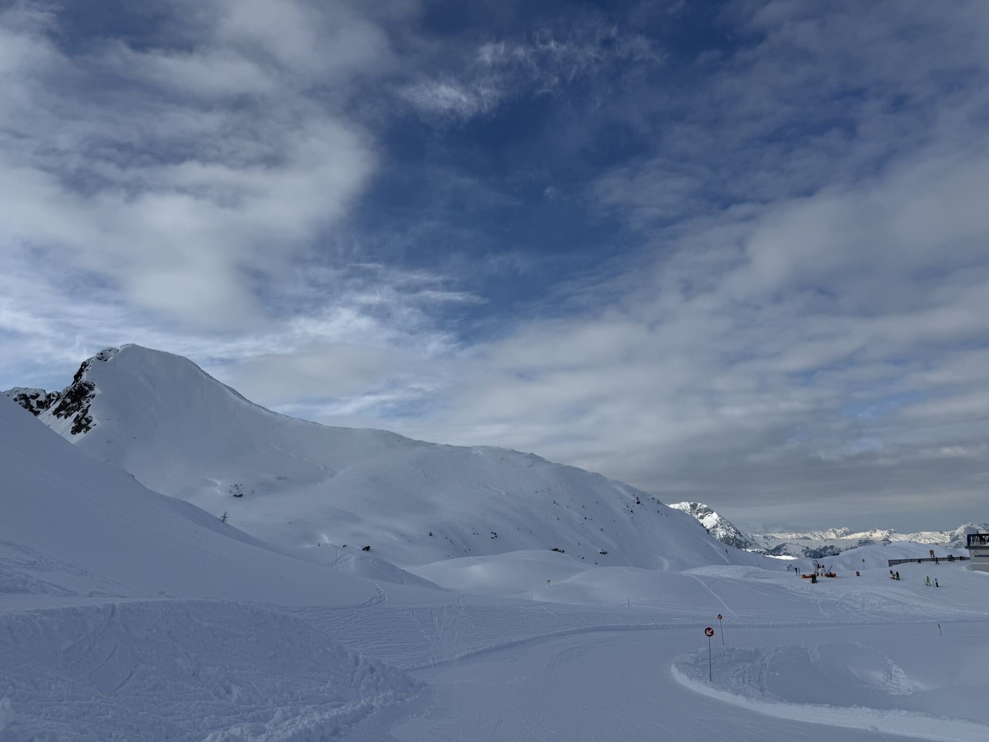
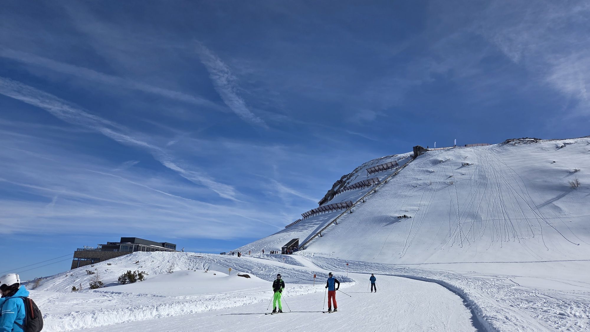
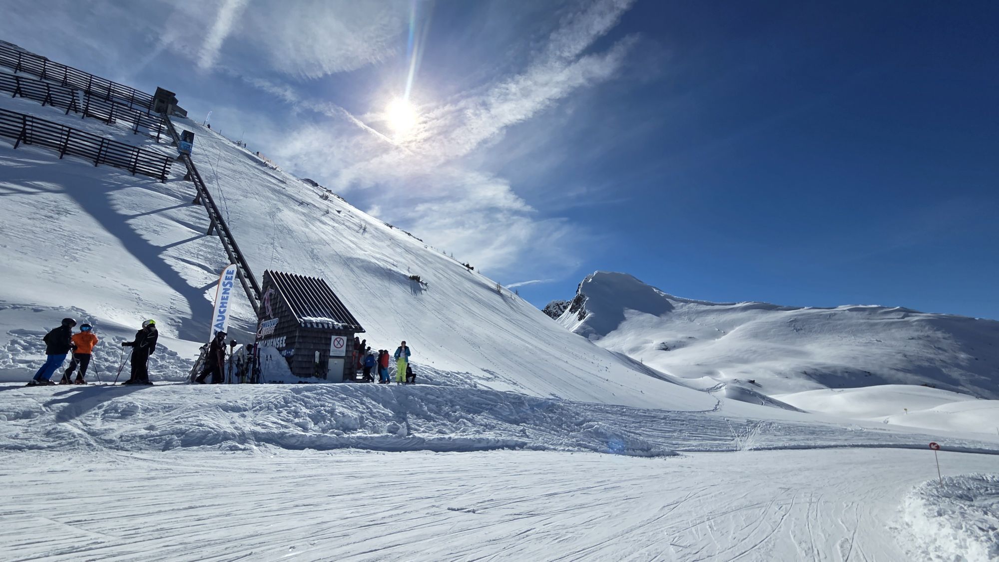
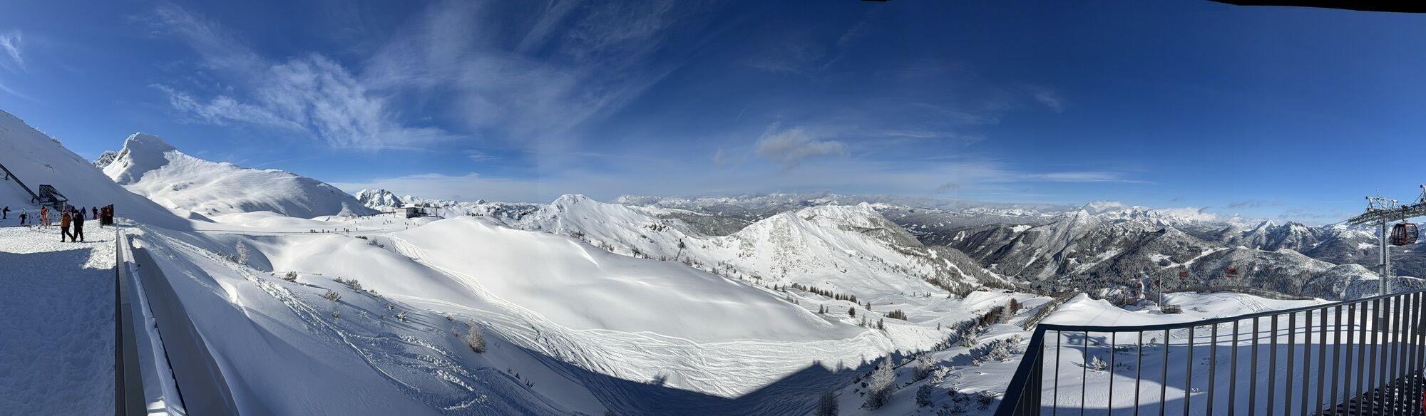
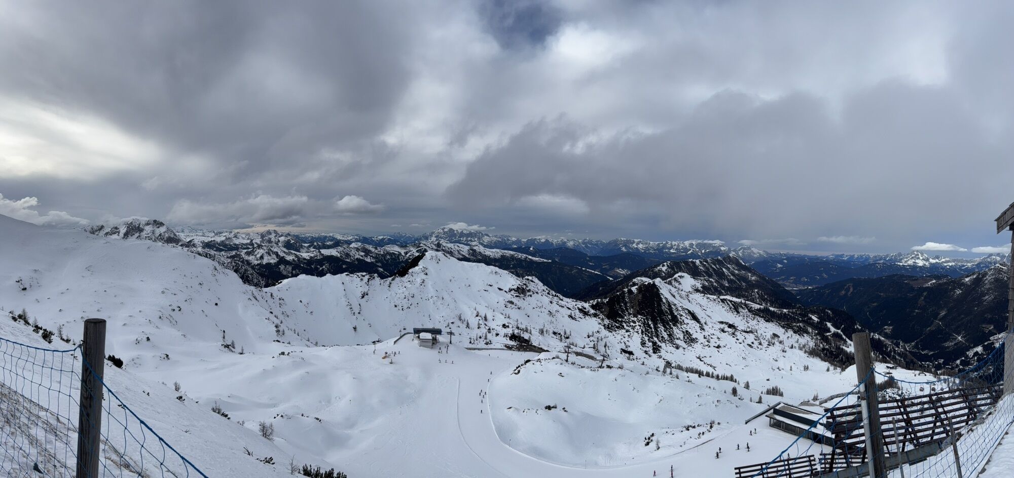
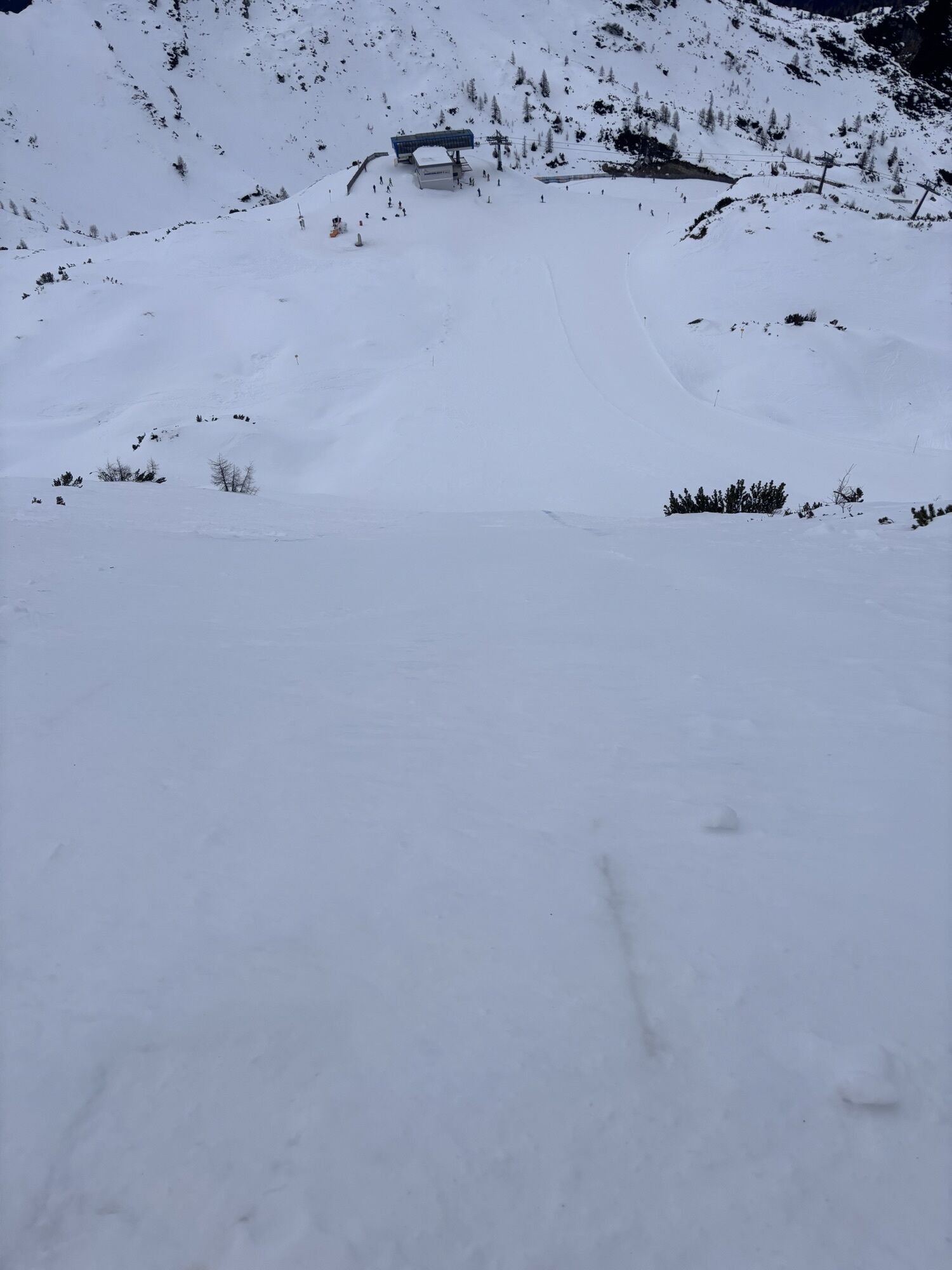
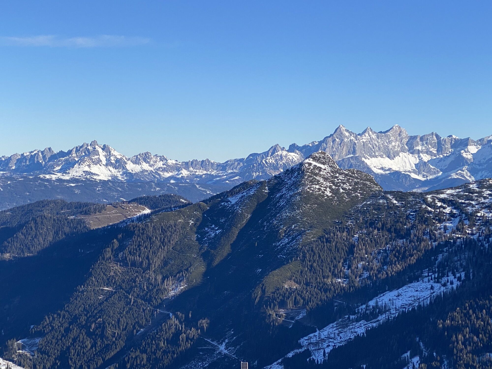
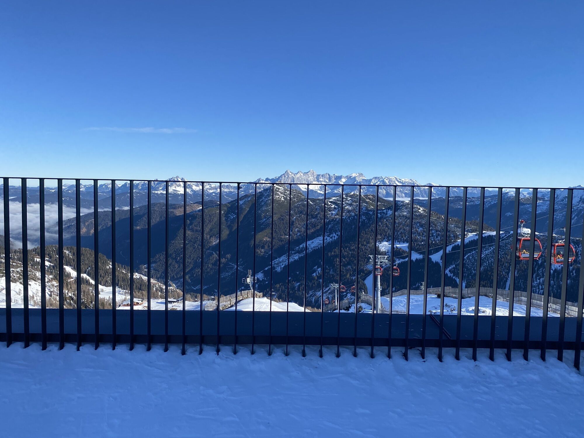
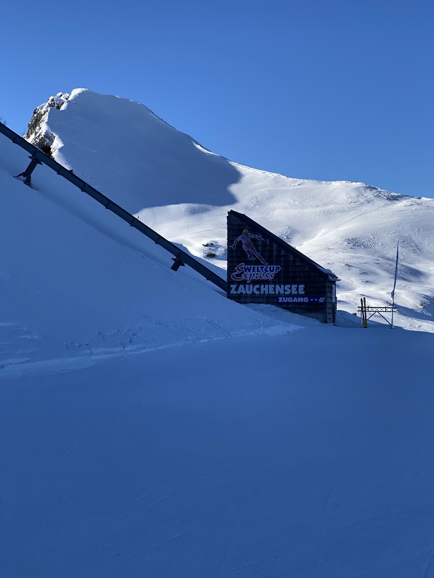
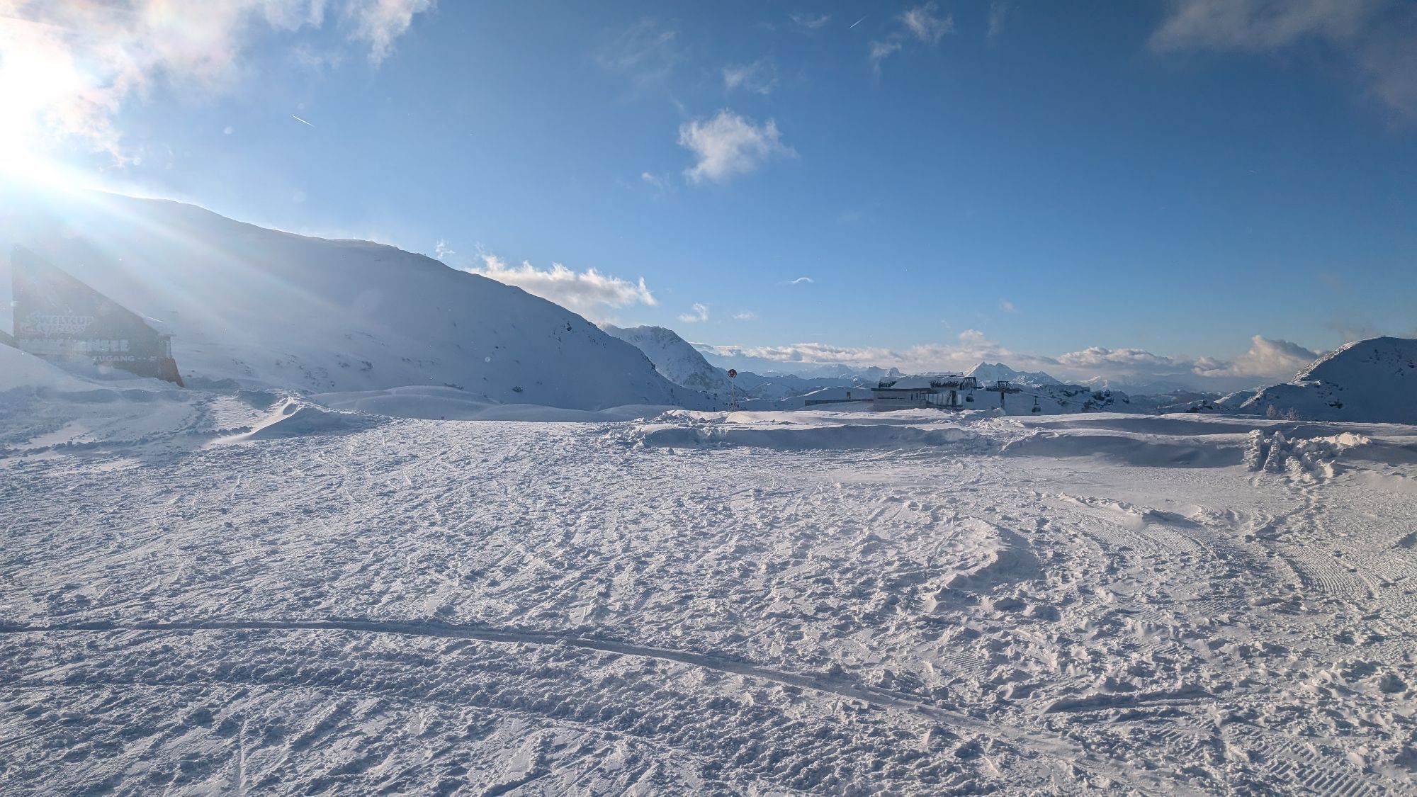

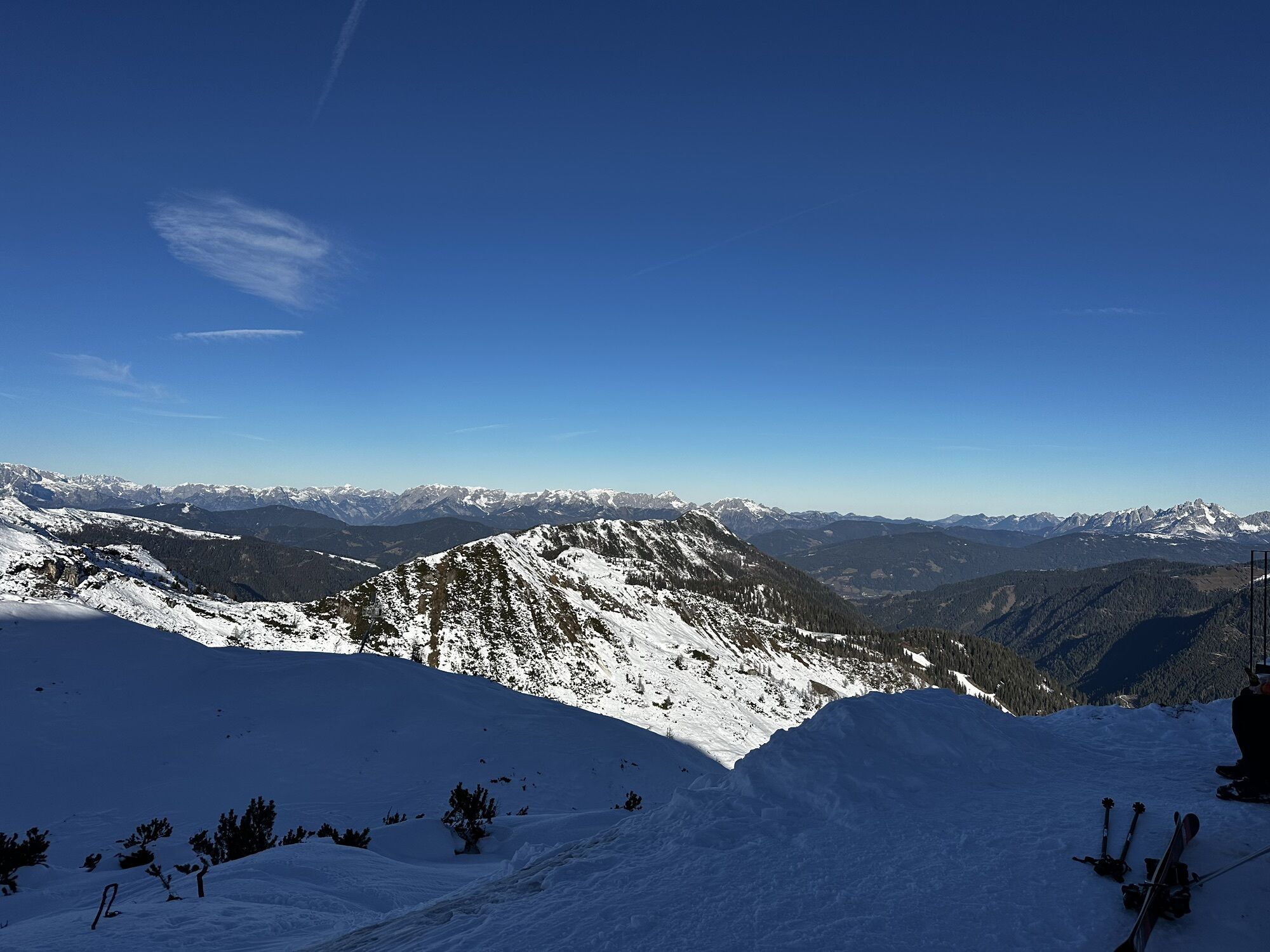
Are you particularly ambitious and want to combine four peaks in one hike? Then you shouldn’t miss the “4-Peak Tour” in Zauchensee. The tour covers the four highest peaks in the hiking paradise of Zauchensee,...
Opis
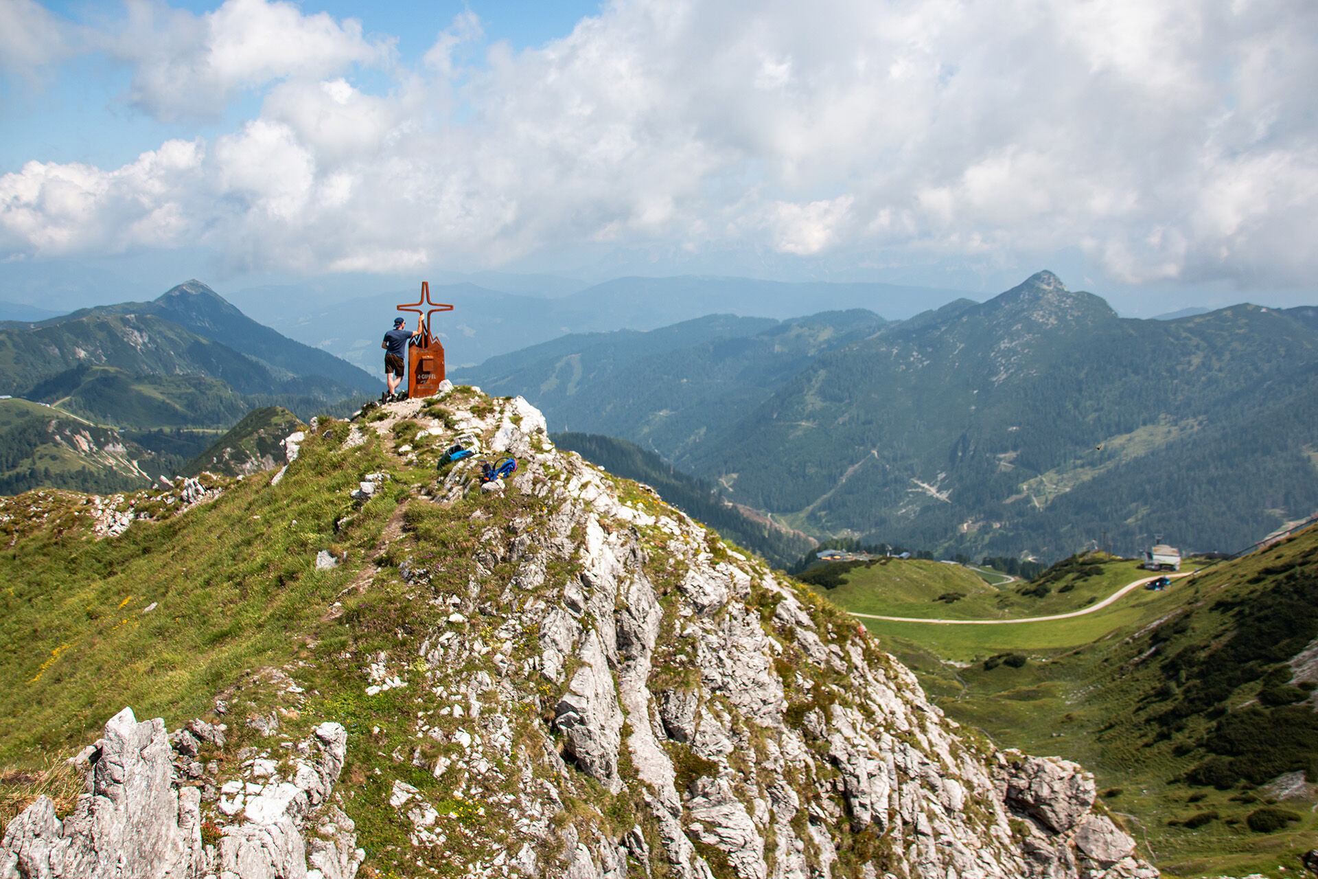
Are you particularly ambitious and want to combine four peaks in one hike? Then you shouldn’t miss the “4-Peak Tour” in Zauchensee. The tour covers the four highest peaks in the hiking paradise of Zauchensee, around the Seekarsee: the Arche (2,060m), the Tagweidegg (2,135m), the Schwarzkopf (2,263m) and the world-famous Gamskogel (2,186m), with the steep starting slope of the Gamskogel World Cup route. The Gamskogelbahn (6-seater chairlift) takes over the first meters of altitude for you. The 4-Peak-Tour is considered one of the most beautiful high-altitude circular hikes for experienced hikers in the Salzburg region. The starting and ending point is the Gamskogelhütte at almost 1,900m above sea level. From the Gamskogelhütte, the hike leads to the first peak, the Arche: walking time 45-60 minutes; From the Arche, you go back just a little bit to the Seekarsattel and continue to the Tagweidegg. The walking time is again 45-60 minutes. Hiking from Tagweidegg to Schwarzkopf requires special caution and sure-footedness. The Schwarzkopf is the highest peak of the tour, the effort of the climb is rewarded with a magnificent view in all directions. The walking time is 60-75 minutes. From the Schwarzkopf you head back towards Tagweidegg, but only to the junction towards Gamskogel. The walking time to the fourth and final summit is 45-60 minutes. From there you start the descent to the Gamskogelhütte, which you reach after about 45 minutes.
Note: The Arche and the Tagweidegg are suitable for families, the Gamskogel and the Schwarzkopf are not. The crossing between Tagweidegg and Schwarzkopf is not recommended for children.
Trasa
Arche Gipfel
(2 060 m)
Szczyt
1,2 km
Tagweidegg
(2 135 m)
Szczyt
2,3 km
Schwarzkopf
(2 263 m)
Szczyt
3,4 km
Gamskogel
(2 188 m)
Szczyt
4,2 km
Trasa
4-Peak Tour
Wędrówka
6,05
km

Wyceny
3 Komentarze

Peter Zbončák

26. wrz. 2025
Náročný terén a zložité stúpania a klesania
mido
26. wrz. 2025
Nádherné výhľady
Schwarzkopf sme nestihli, ale aj tak tento nádherný okruh stál za to!
Nie je to okruh pre úplných začiatočníkov, treba dobrú obuv a istotu pri kráčaní kamenistým terénom. Obzvlášť vo vlhkom počasí aké panovalo aj nám.
Monika Pfeffer
20. sie. 2025
Wunderschöne, aussichtsreiche, etwas anspruchsvolle Tour
Uzyskaj wgląd
Zawsze na żywo z ponad 9 500 kamer internetowych. bergfex Jako użytkownik Pro, możesz teraz zobaczyć odpowiednie kamery internetowe dla wielu wycieczek w aplikacji wycieczki od. Pozwala to na bezpośredni podgląd aktualnych warunków.
Aktywności na trasie
-

Altenmarkt im Pongau, Salzburg/Österreich
08.08.2026 – Wędrówka -

Altenmarkt im Pongau, Salzburg/Österreich
04.08.2026 – Wędrówka -
Altenmarkt im Pongau, Salzburg/Österreich
02.08.2026 – Przechadzka -
Altenmarkt im Pongau, Salzburg/Österreich
26.07.2026 – Wędrówka -

Altenmarkt im Pongau, Salzburg/Österreich
07.07.2026 – Wędrówka
Popularne wycieczki w okolicy
-
5,0
Hüttschlag: Karteistörl - Tappenkarsee - Draugsteintörl - Draugsteinalmen
średniWędrówka 13,5 km -
4,8
Rundwanderweg von der Fallhausalm und Vögeialm übers Klamml zur Oberhütte am See
średniWędrówka 10 km -
5,0
4-Gipfel-Tour
średniWycieczki górskie 6,40 km -
4,2
Tappenkarsee Kleinarl
średniWędrówka 9,11 km -
4,9
Großarl: Alpine pasture circuit in Ellmautal
średniWędrówka 9,69 km -
4,7
Steirische und Lungauer Kalkspitze über das Kranzl
ciężkiWędrówka 11,2 km -
4,6
Ski route Lackenkogel
średniWycieczka narciarska 7,82 km -
4,8
Obertauern to the Johannes Waterfall
średniWędrówka 9,39 km -
5,0
Twengsee
średniWędrówka 9,66 km -
4,7
Reiteralmrunde
światłoWędrówka 5,71 km
Wędrówki i tropienie

Ponad 550.000 propozycji wycieczek, szczegółowe mapy i intuicyjny planer tras sprawiają, że aplikacja jest niezbędna dla wszystkich entuzjastów przyrody.

Nie przegap ofert i inspiracji na następne wakacje
Zapisz się do newslettera
Błąd
Wystąpił błąd. Spróbuj ponownie.
Dziękujemy za rejestrację
Twój adres e-mail została dodana do listy mailingowej.
Wycieczki po całej Europie
Austria
Szwajcaria
Niemcy
Włochy
Słowenię
Francja
Holandia
Belgia
Polska
Liechtenstein
Czechy
Słowacja
Hiszpania
Chorwacja
Bośnia i Hercegowina
Luksemburg
Andorra
Portugalia
Islandia
Wielka Brytania
Irlandia
Grecja
Albania
Macedonia Północna
Malta
Norwegia
Czarnogóra
Mołdawia
Kosowo
Węgry
San Marino
Rumunia
Estonia
Łotwa
Białoruś
Cypr
Litwa
Serbia
Bułgaria
Monako
Dania
Szwecja
Finlandia





