







4 Mountains 3 Lakes - 1st stage (Fuschl am See - St. Gilgen)



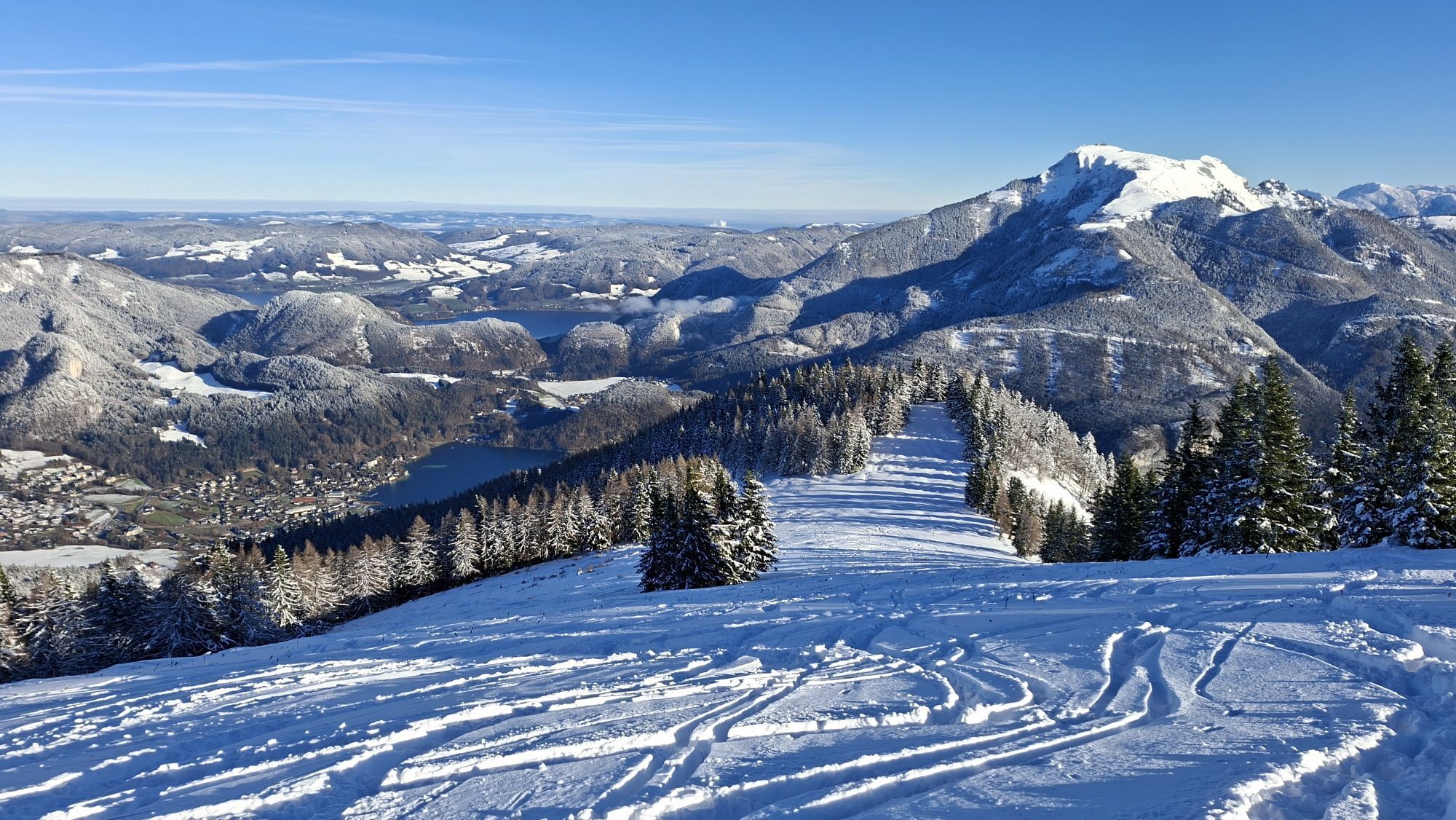
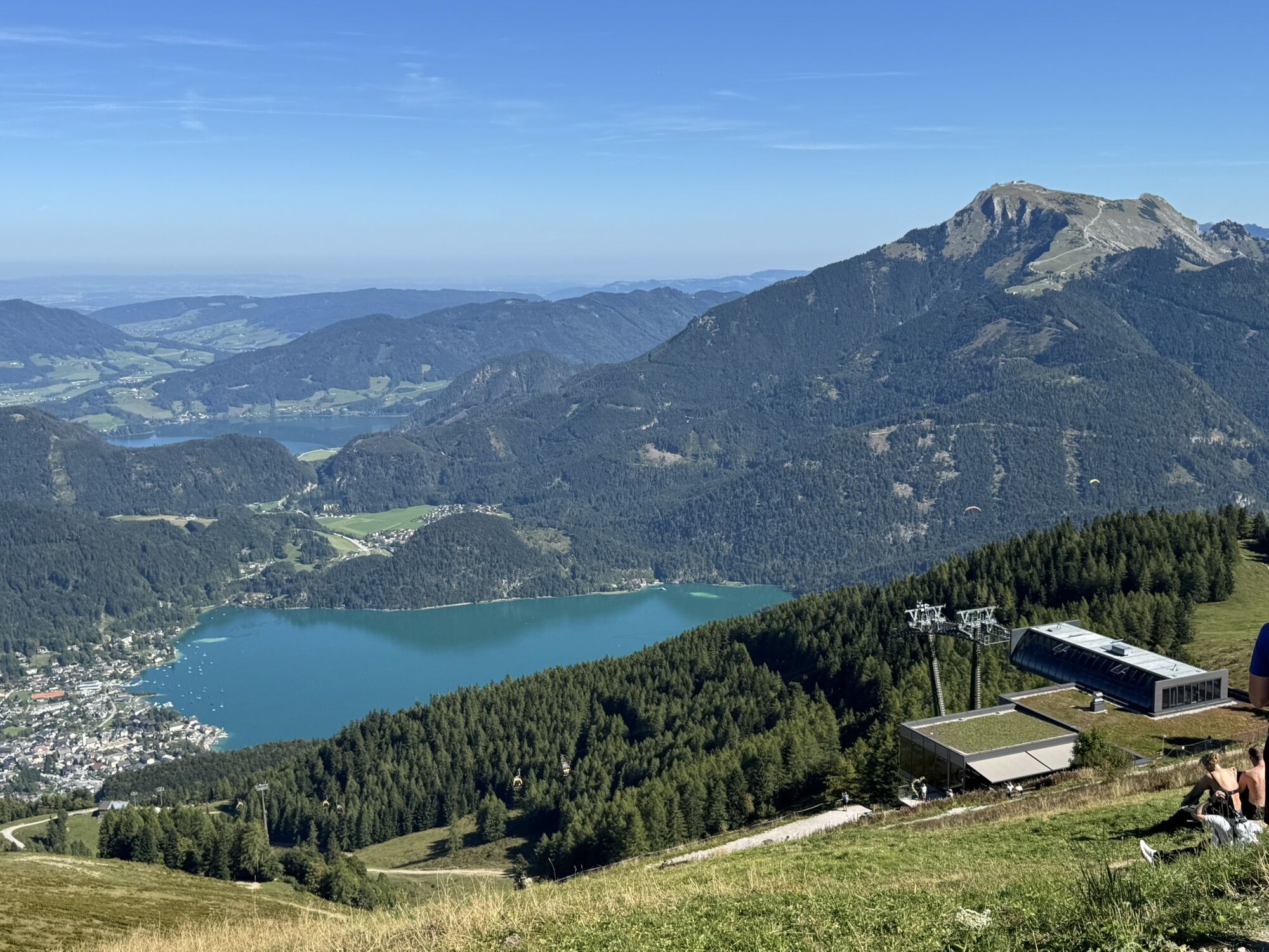
Over four days, you hike through the most beautiful landscape of the Salzkammergut.
Each stage involves 5 – 7 hours of walking, all without luggage.
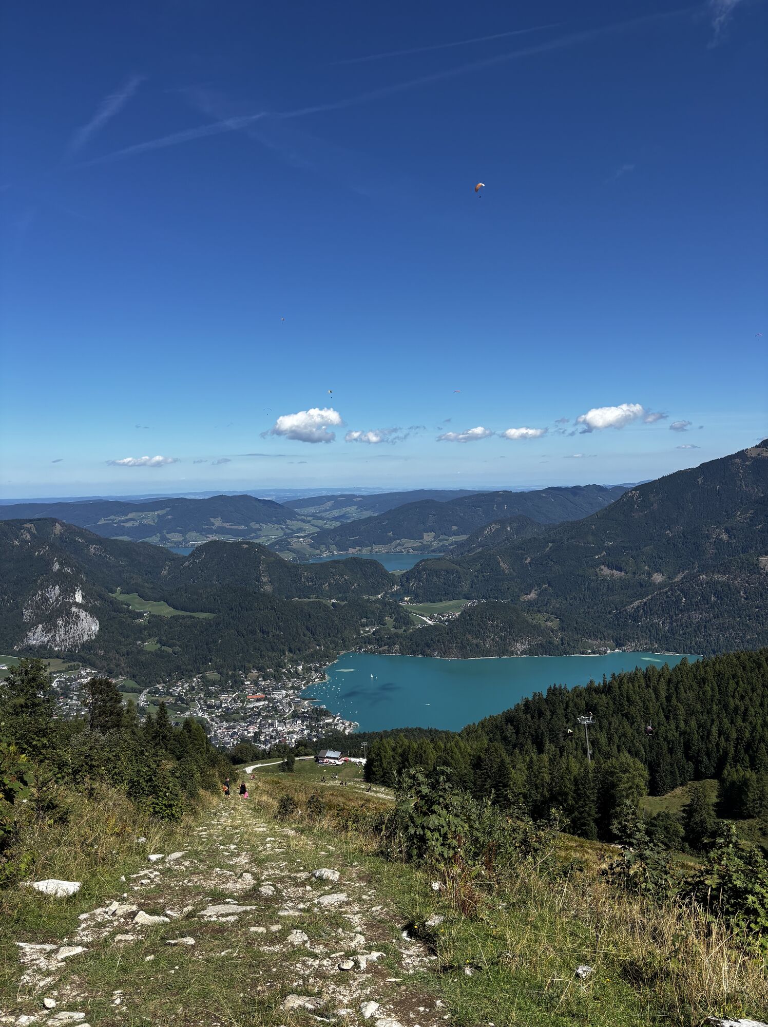
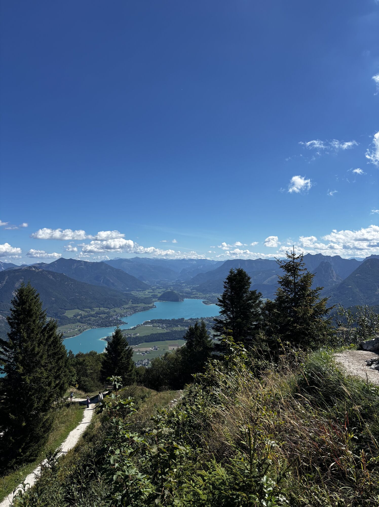
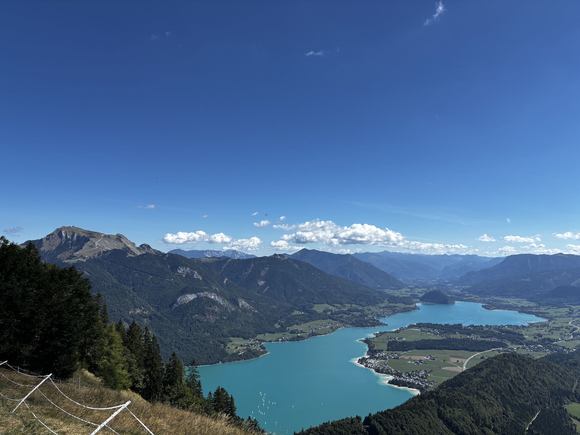
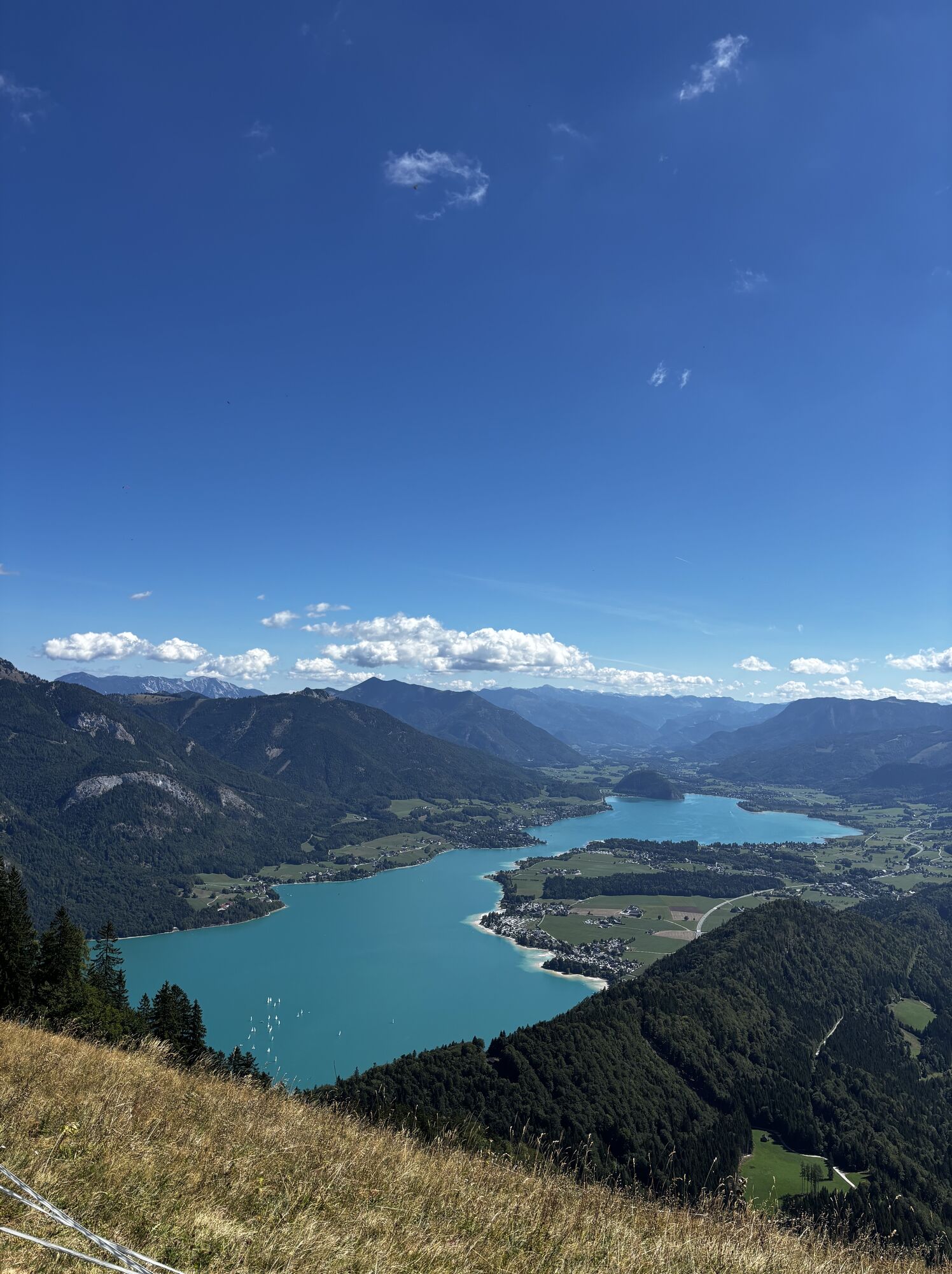
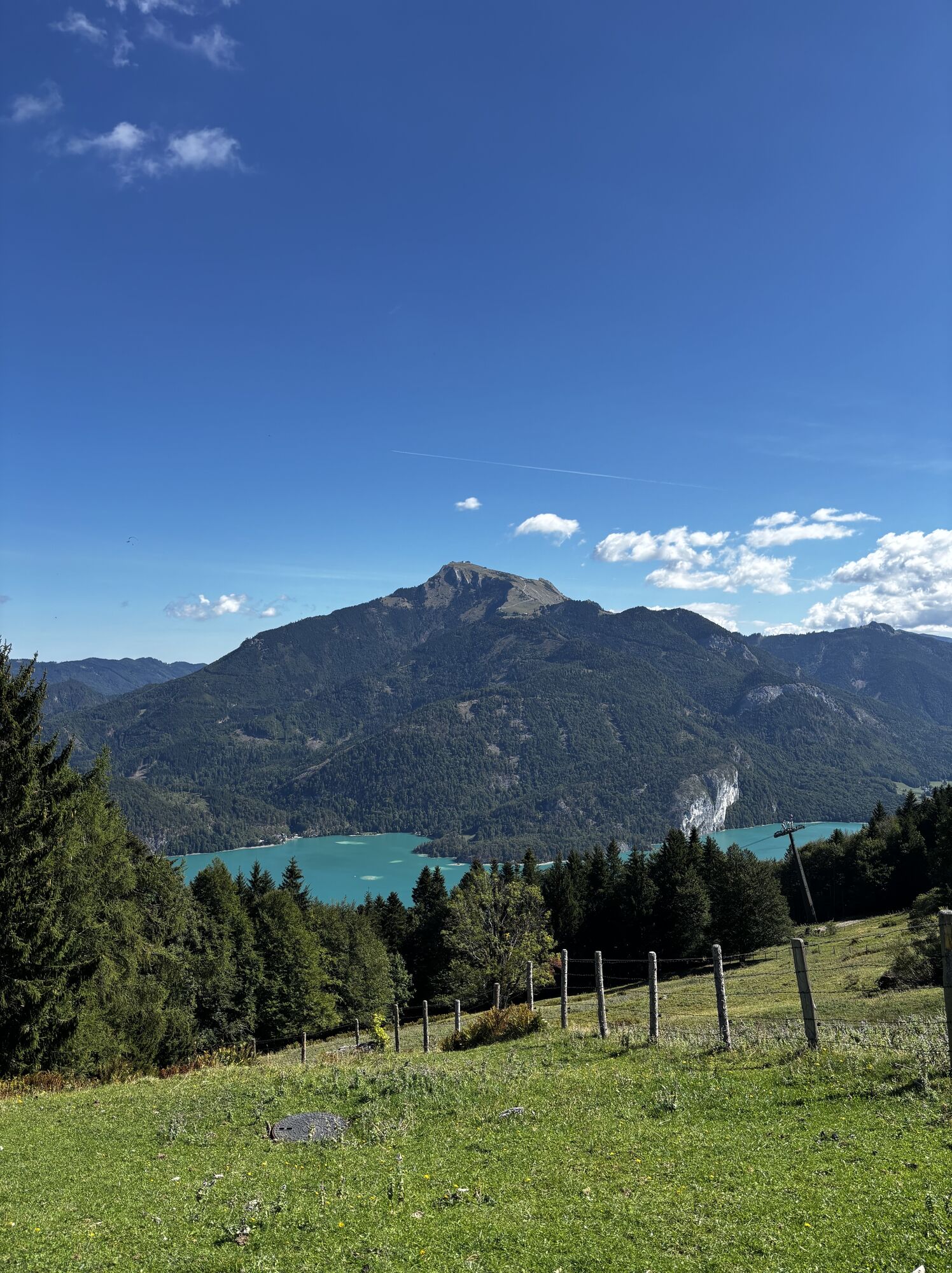
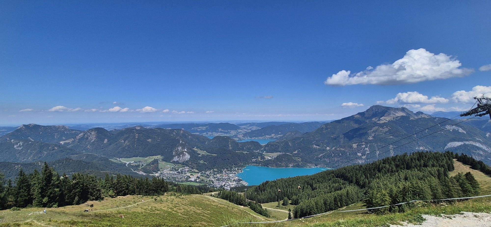
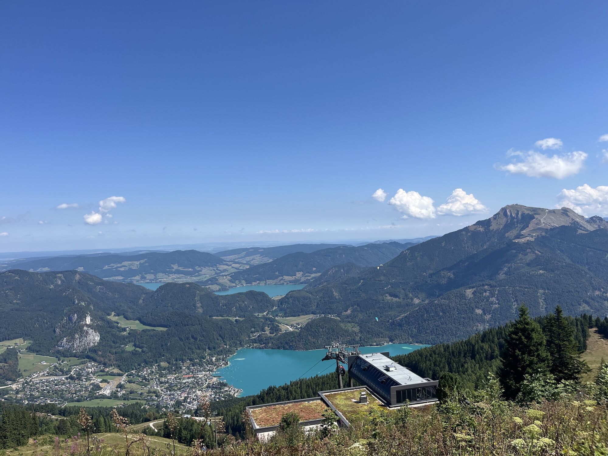
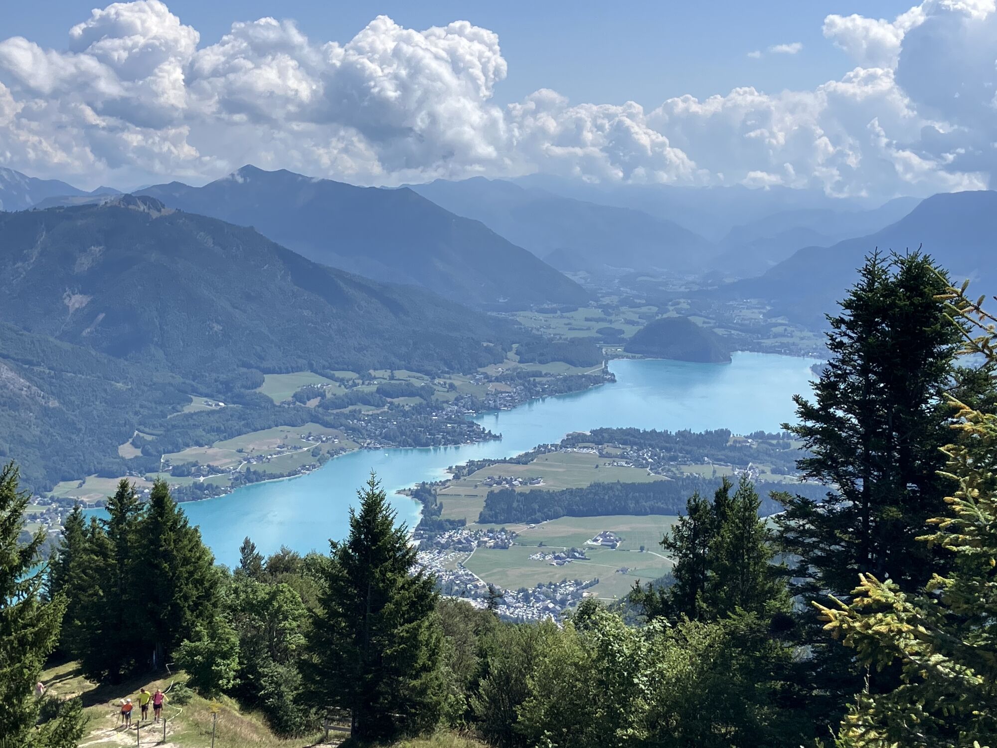
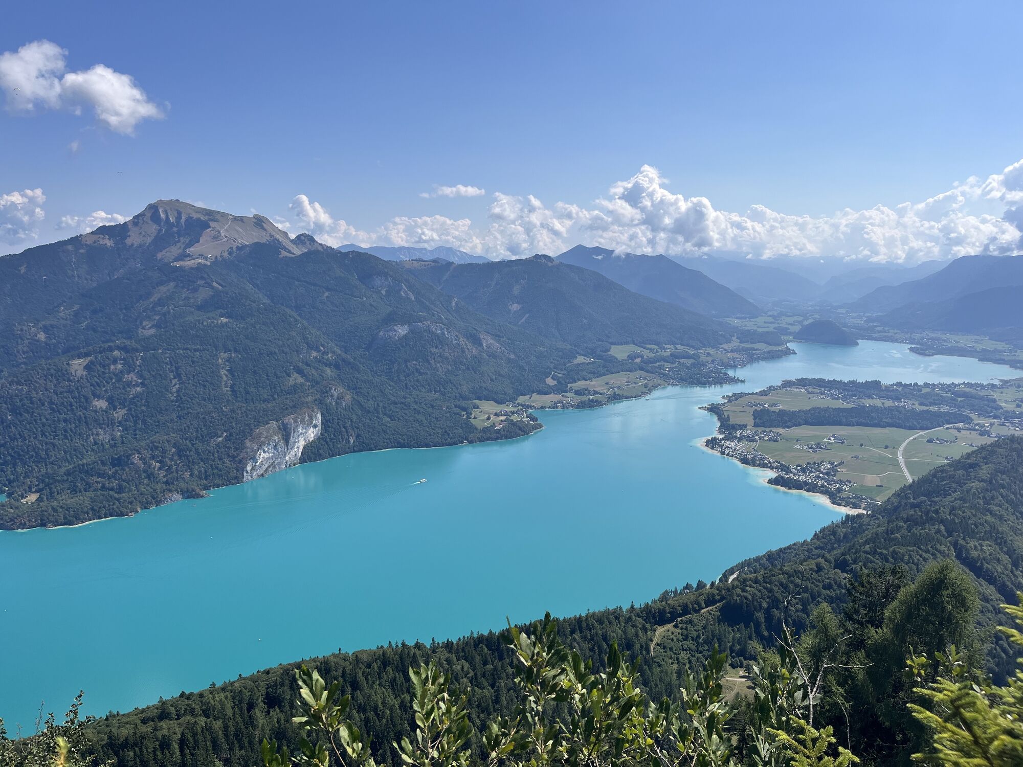
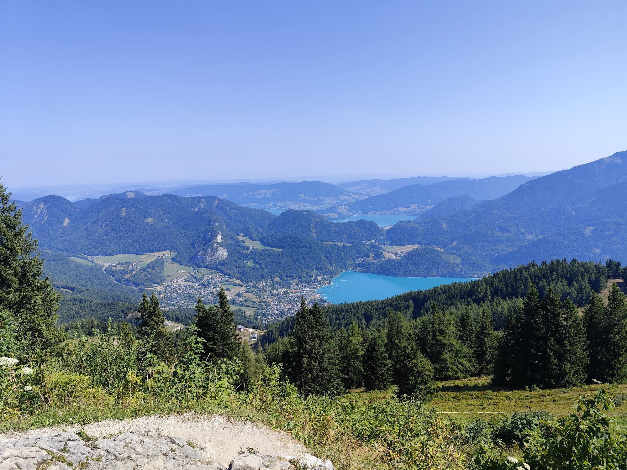
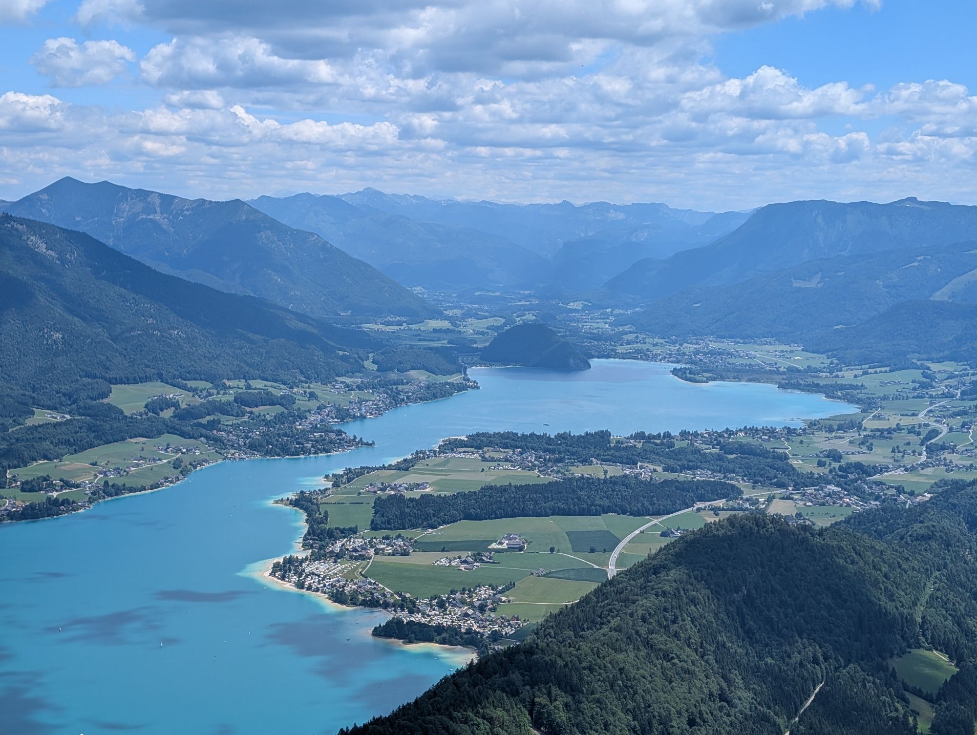
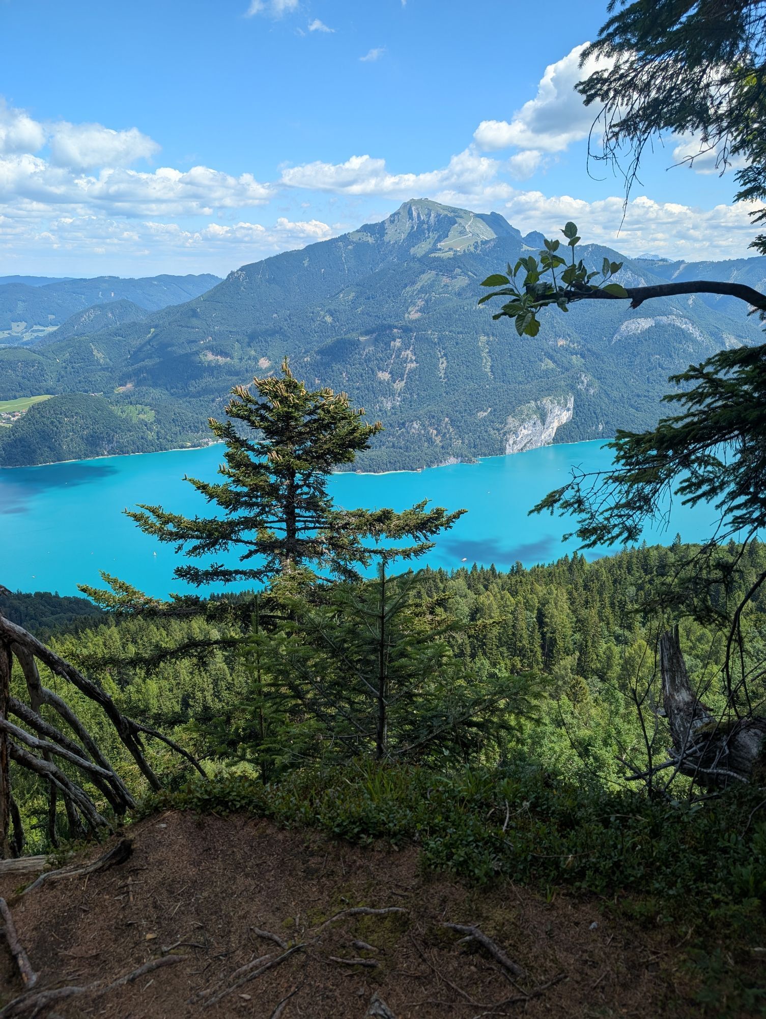
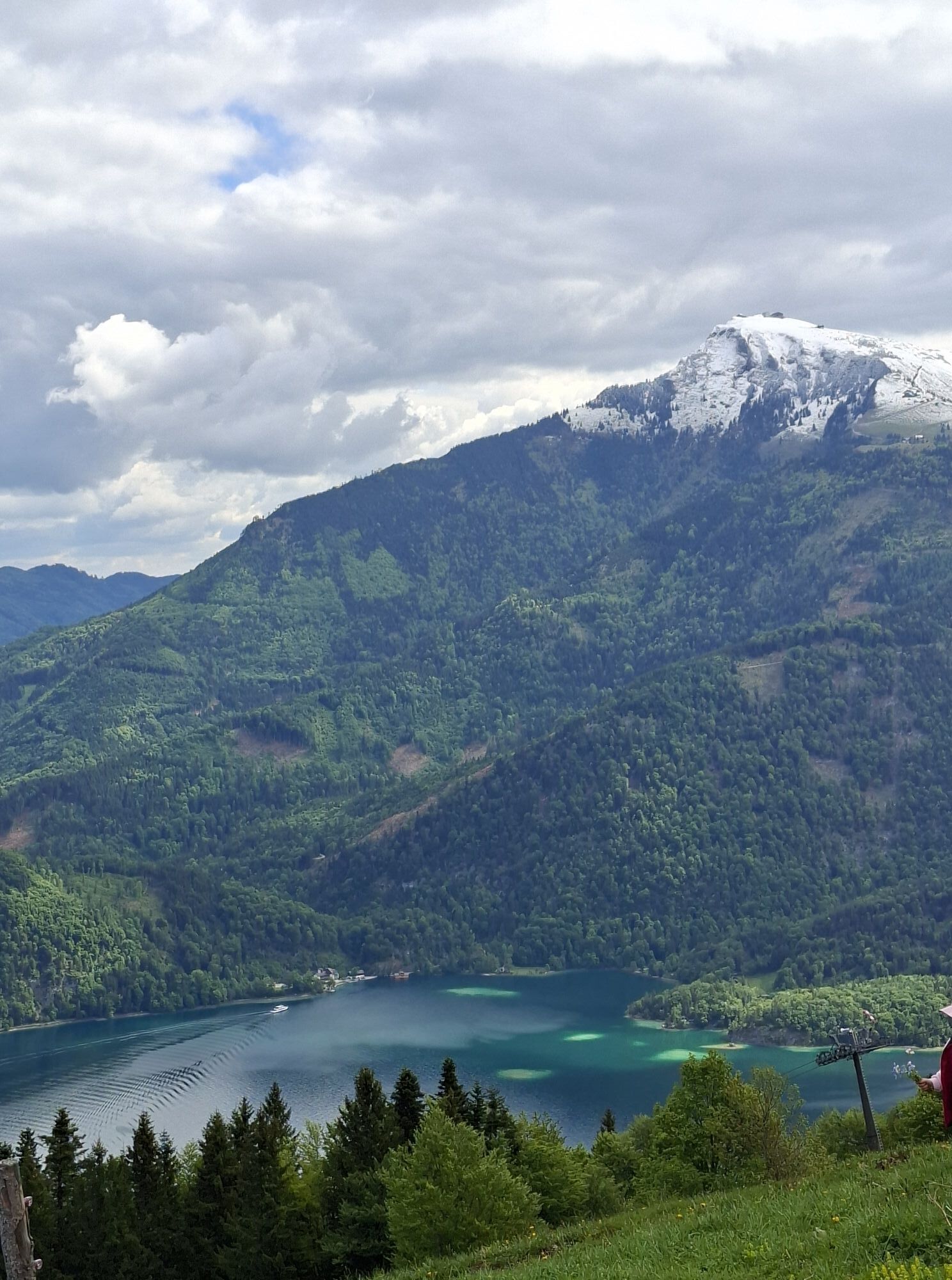
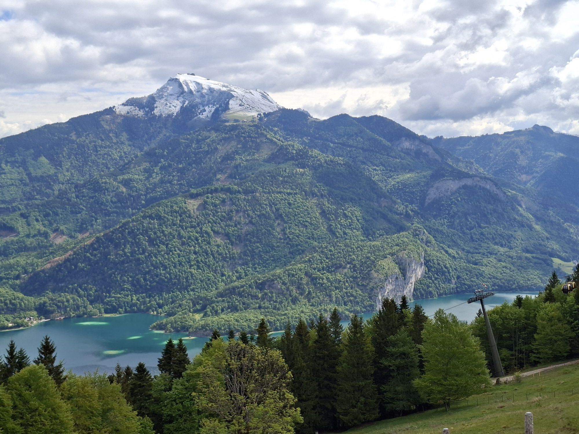
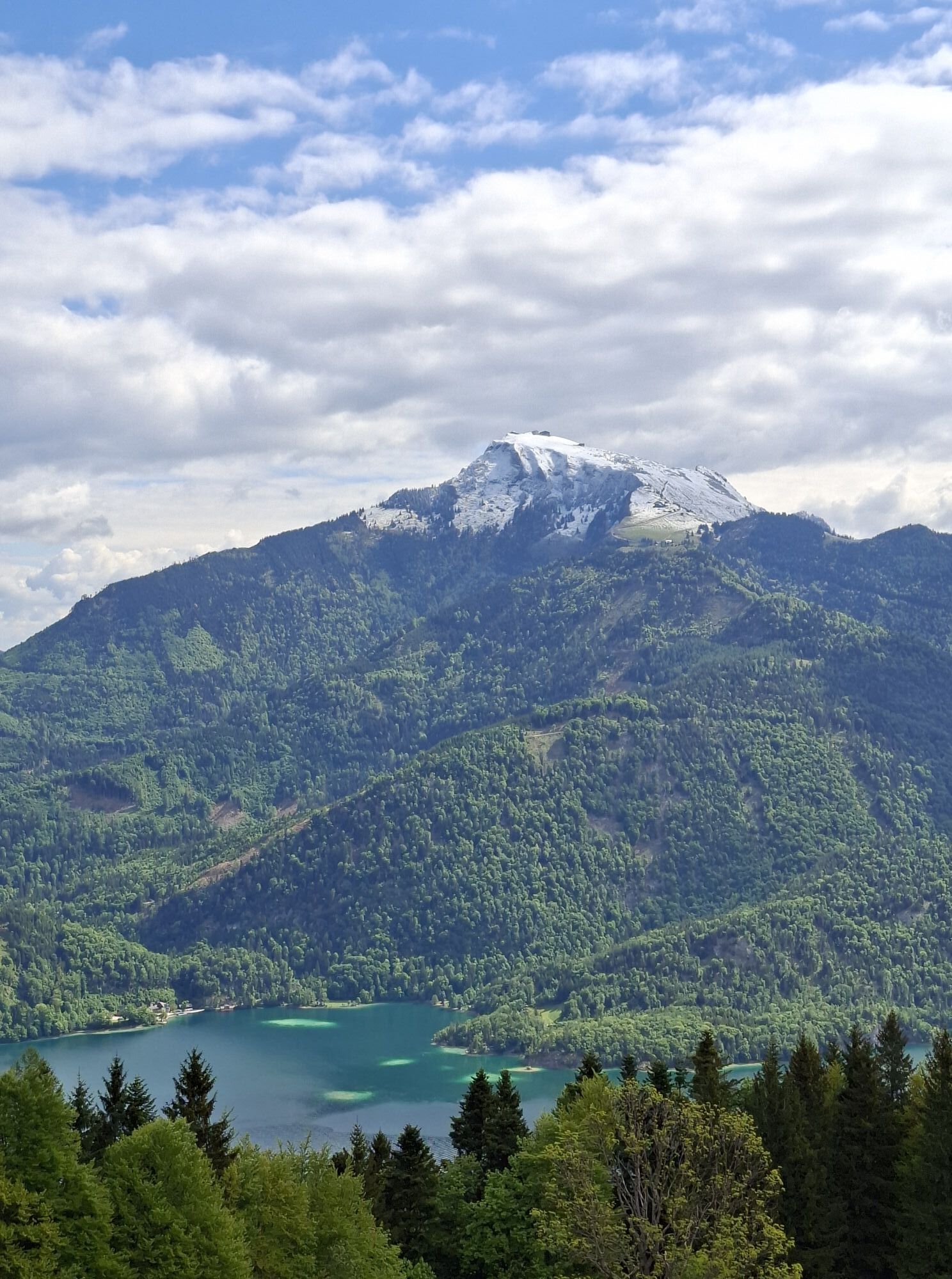
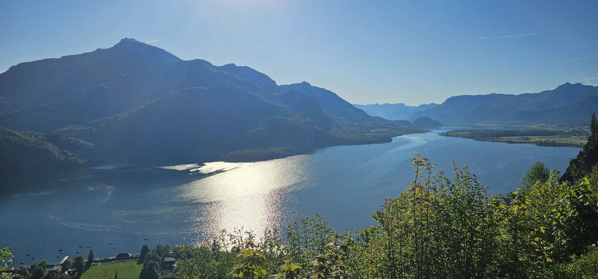
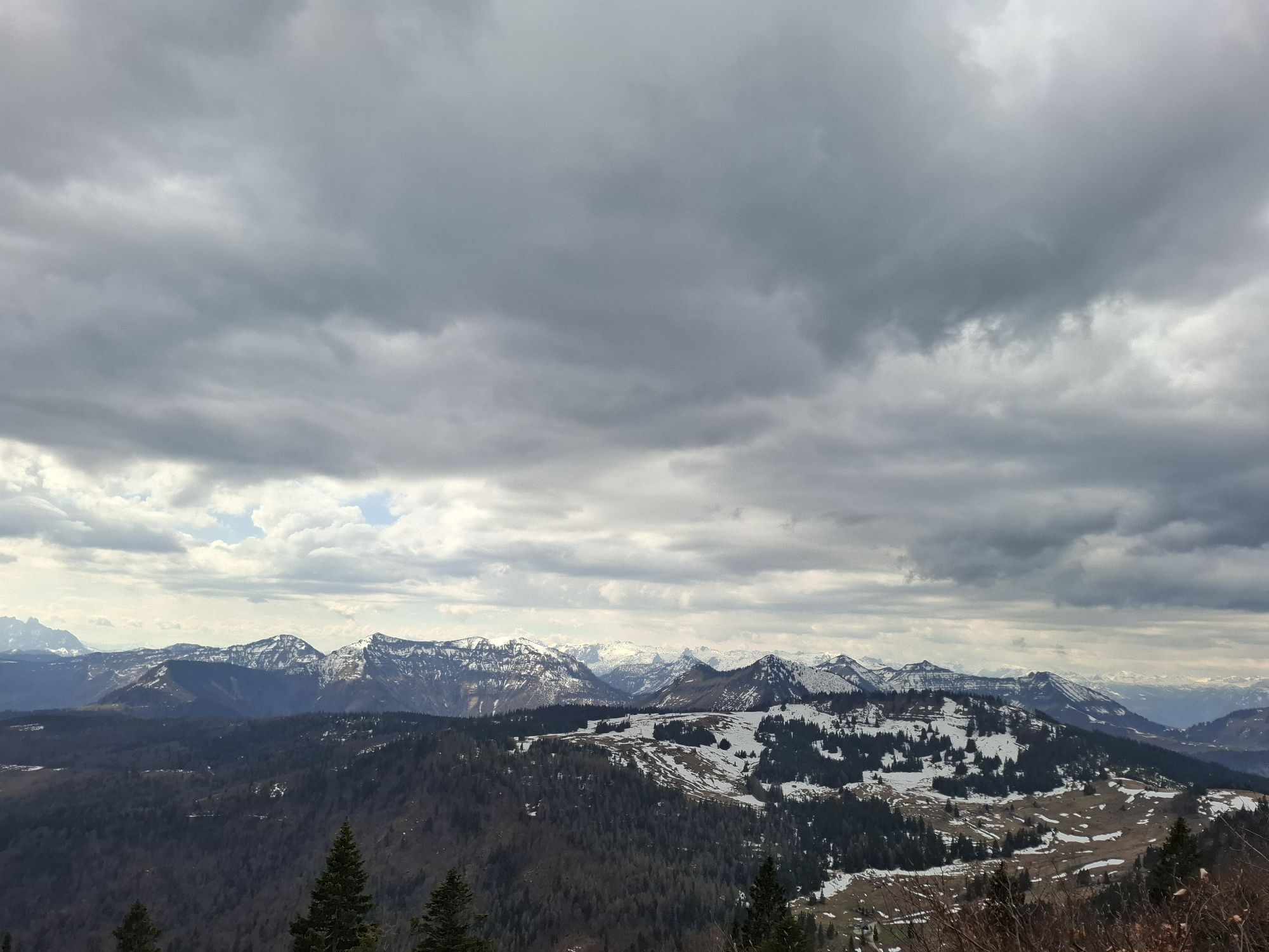
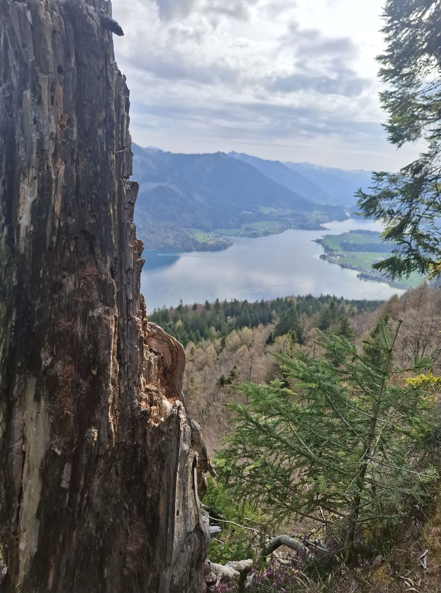
The highlights of the route are the panorama over Wolfgangsee,...
Over four days, you hike through the most beautiful landscape of the Salzkammergut.
Each stage involves 5 – 7 hours of walking, all without luggage.
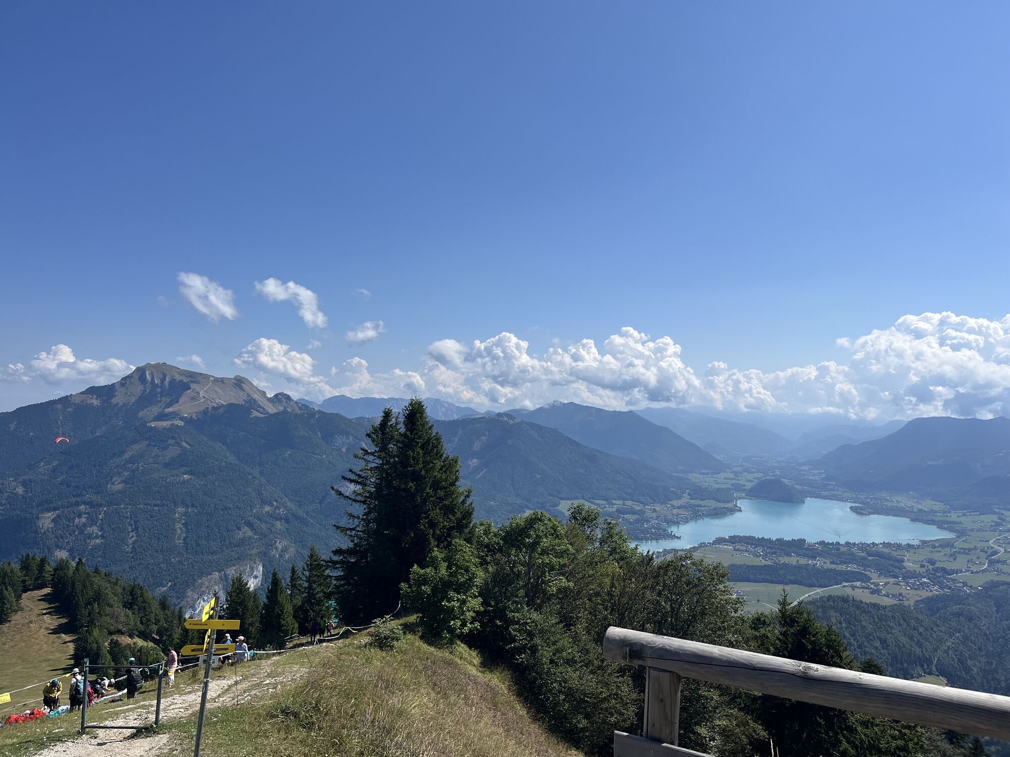
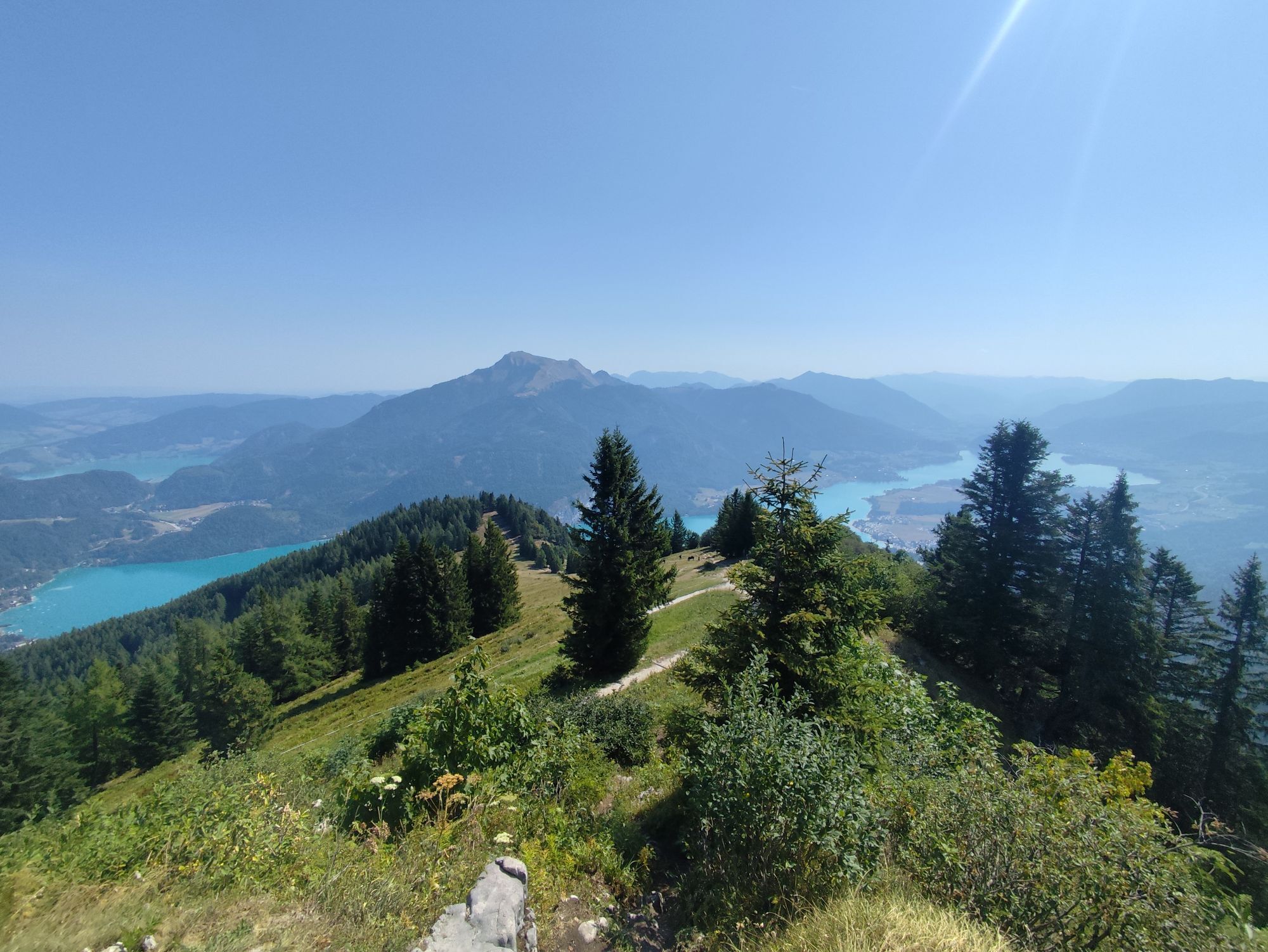
The highlights of the route are the panorama over Wolfgangsee, up to the Dachstein, the Zwölferhorn summit, and the cozy huts.
The 1st stage starts leisurely with a hike through the Ellmautal valley. Passing the Rumingmühle and alpine pastures, it goes to the Zwölferhorn.
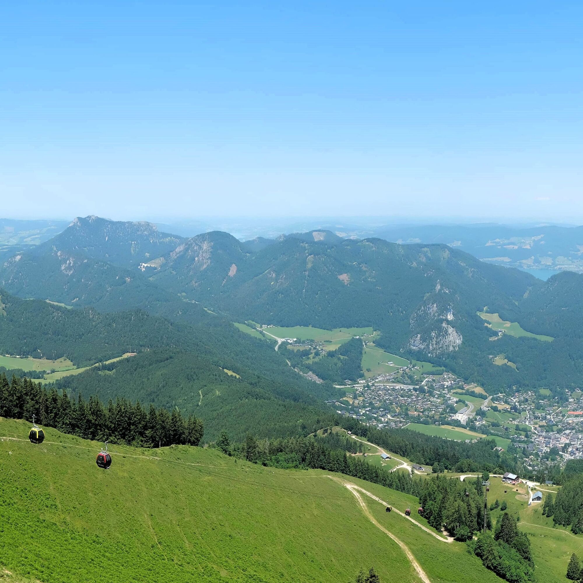
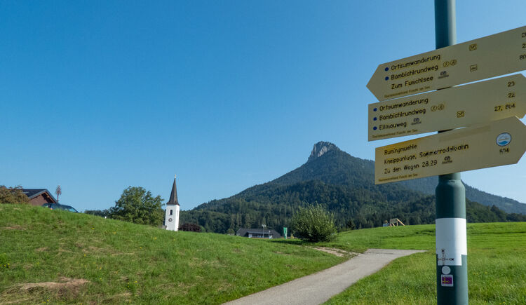
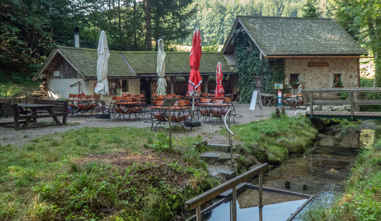
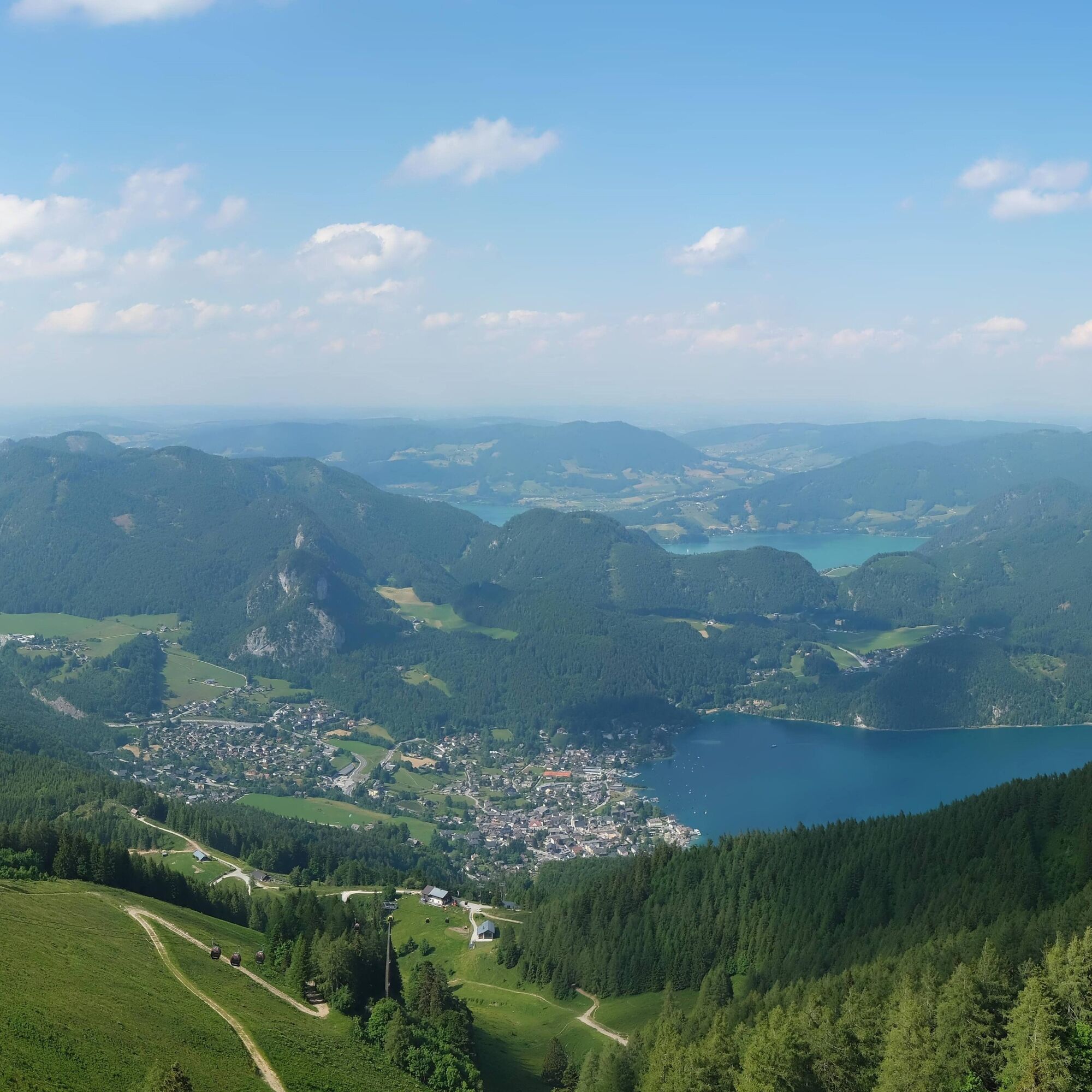
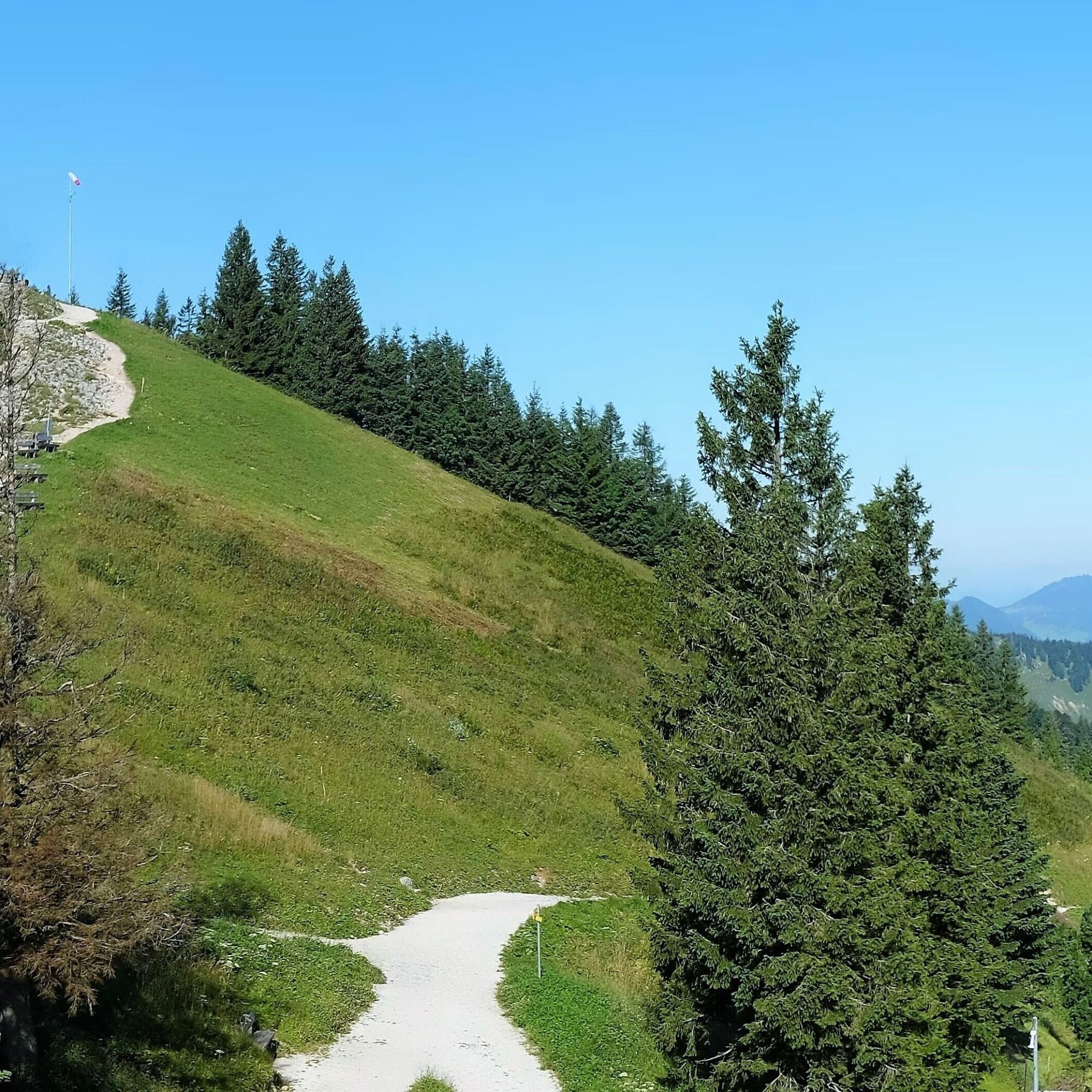
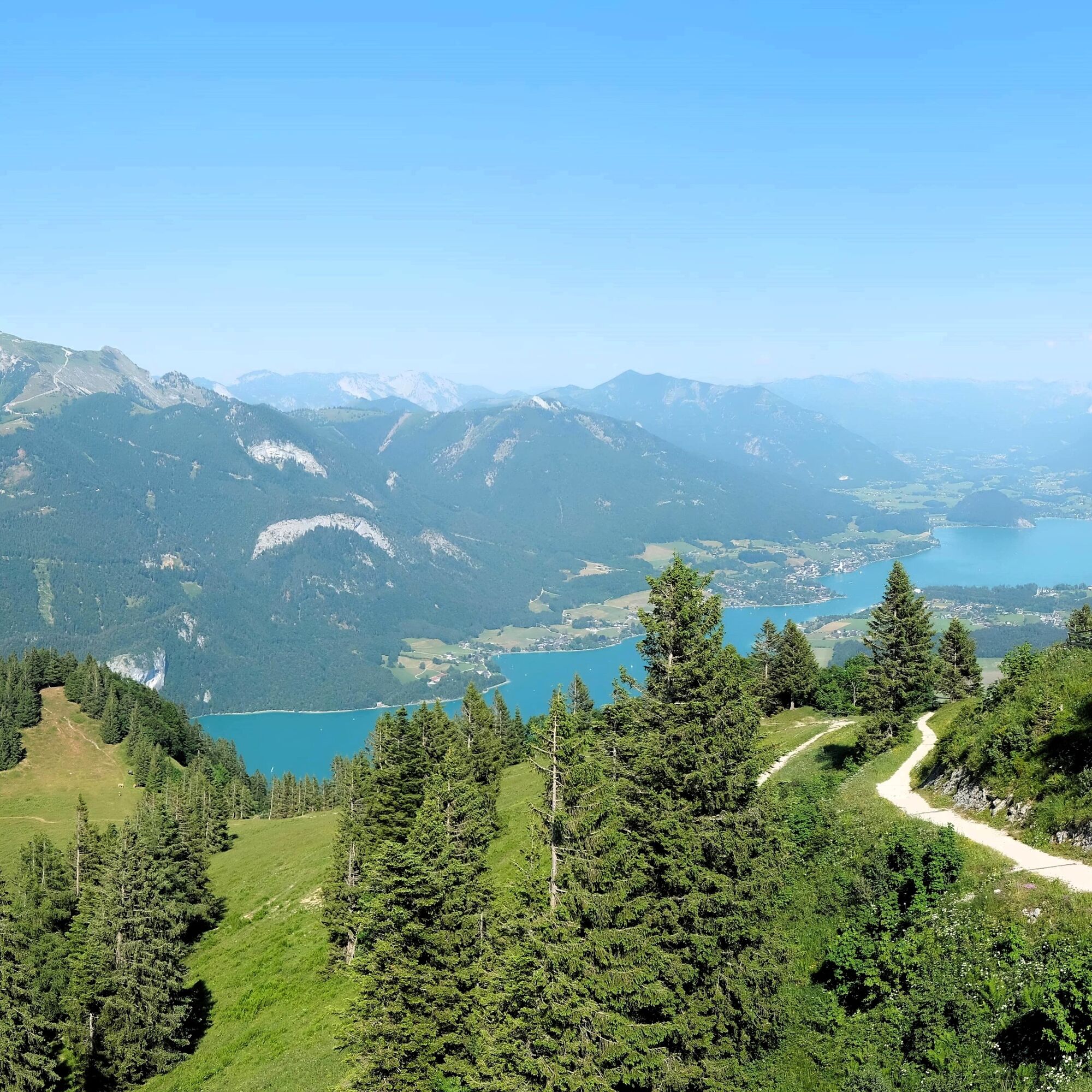

The first stage of the multi-day hiking route goes from Fuschl am See to the Zwölferhorn and then to St. Gilgen.
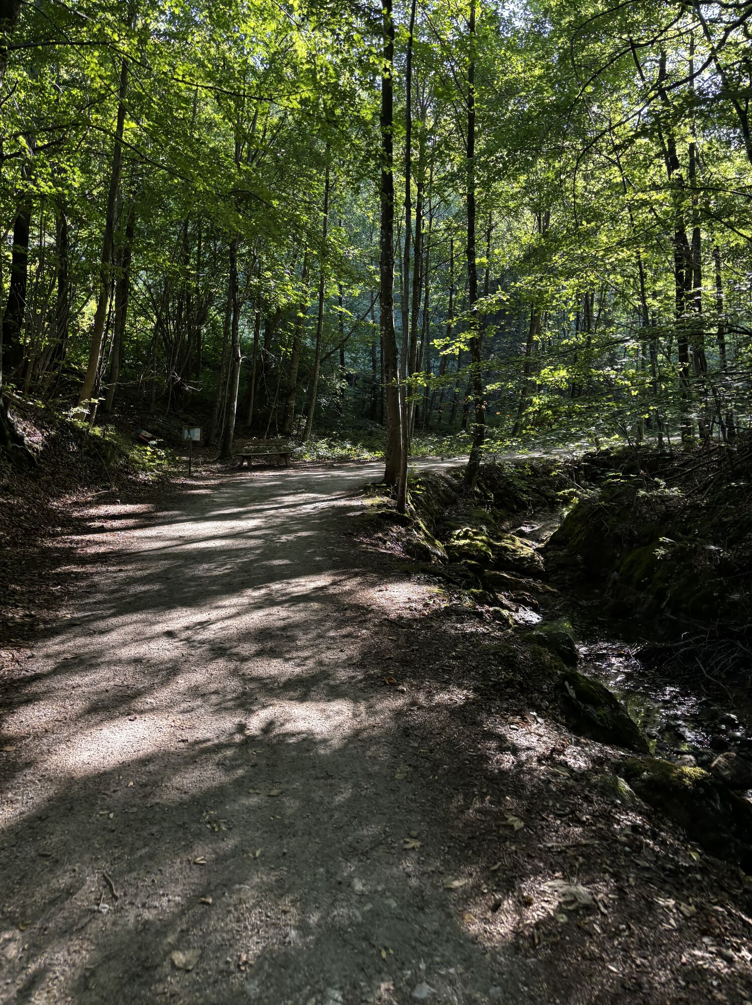
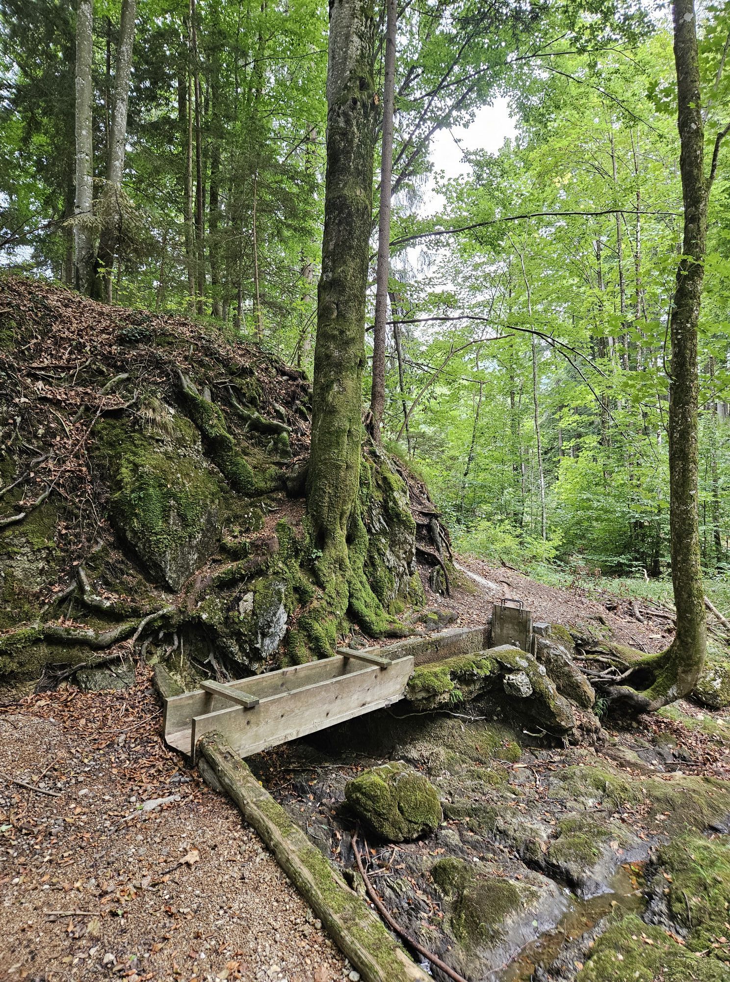
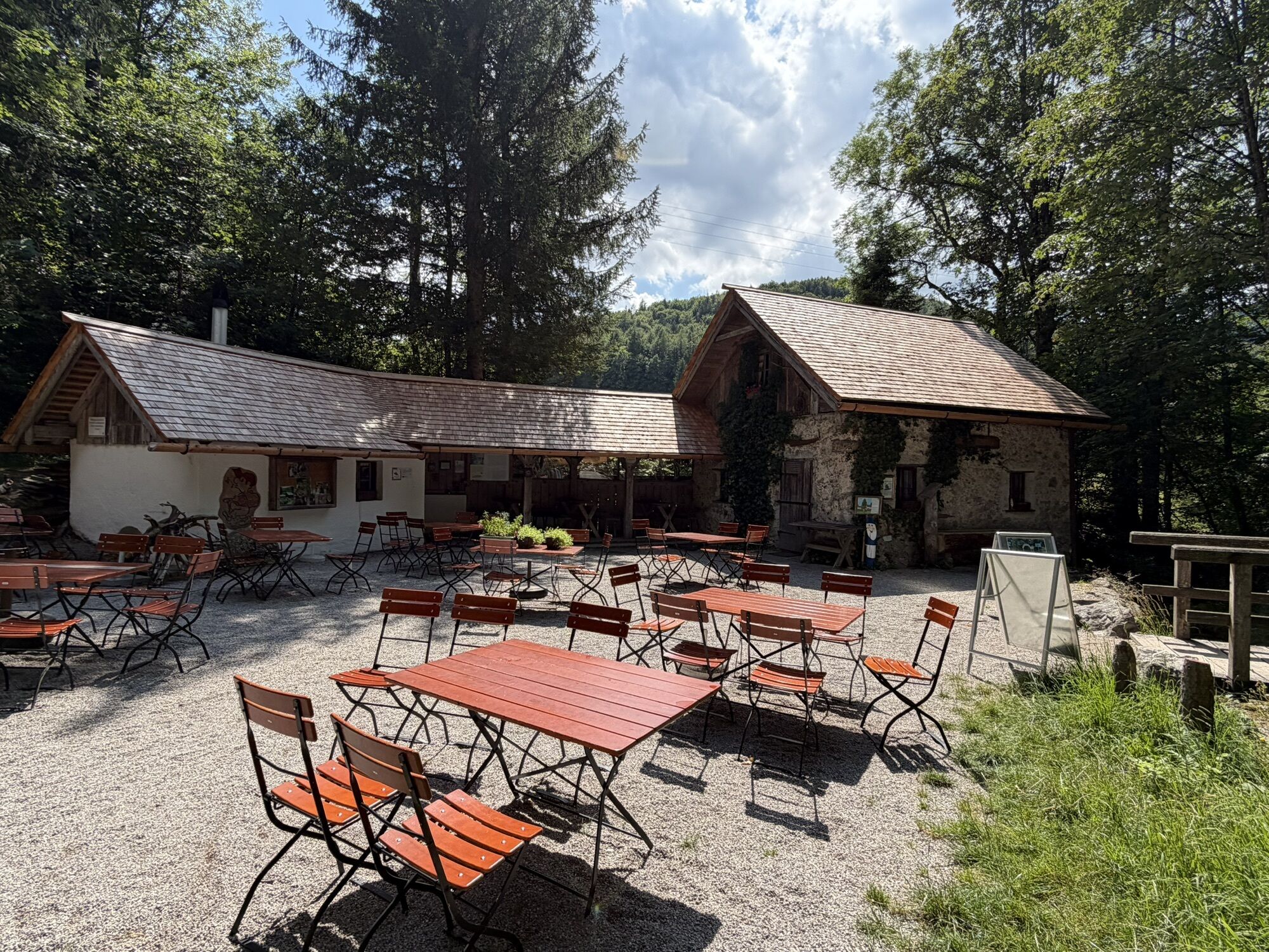
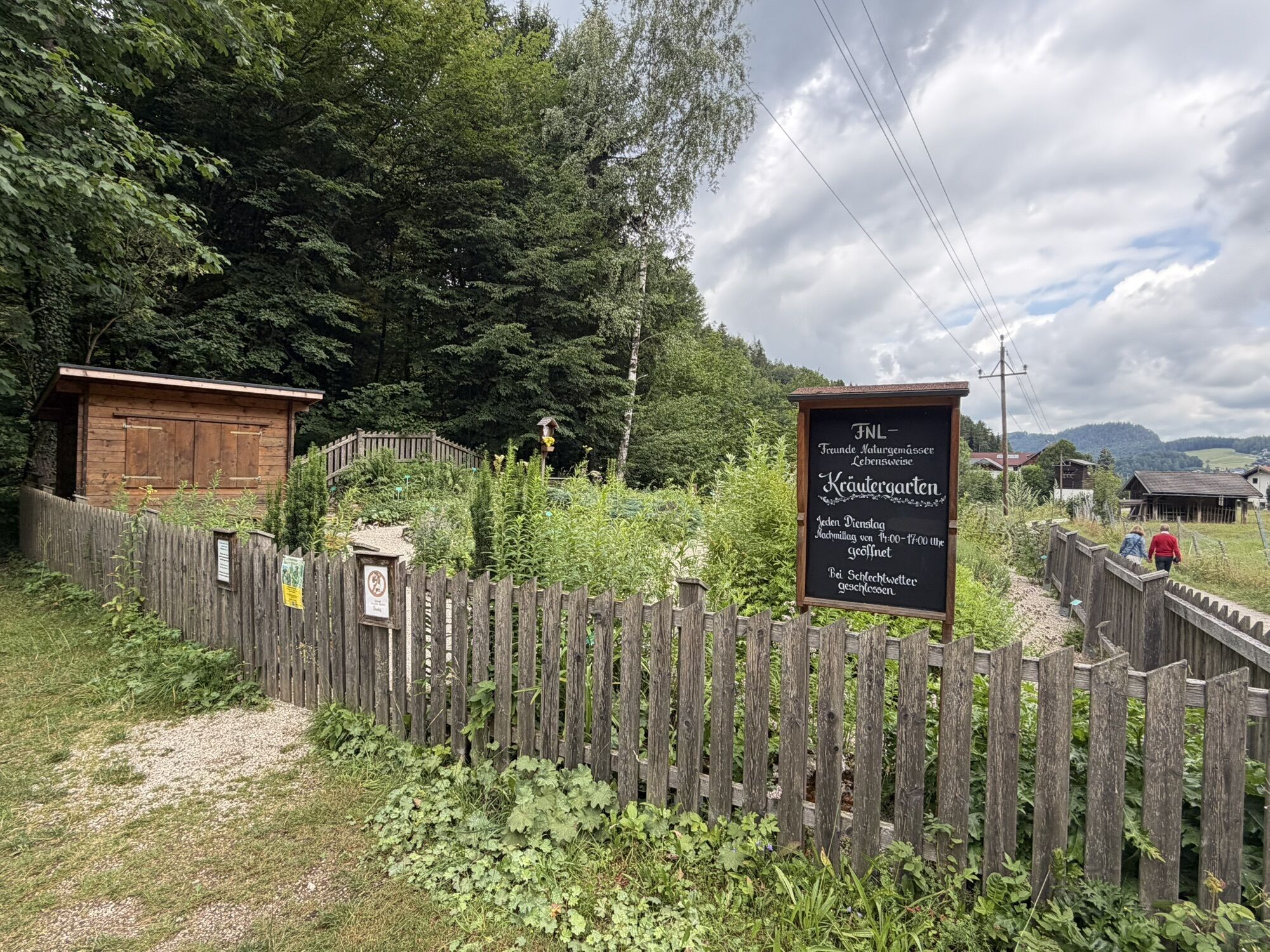
From Fuschl am See, follow trails 20 and 27 towards Ellmautal. Passing the herb garden and the Zwergerlweg, you will reach the Rumingmühle, built in 1872, located in a small wooded area.
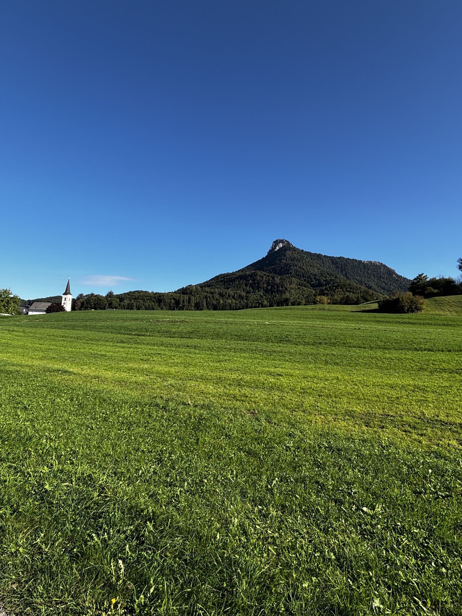
Along the tranquil Ellmautal valley road, you get comfortably into the hike. First Unterellmau with the Jägerwirt inn, then Oberellmau. From here, take trail 28a towards the 1,017 m high Sulzberg and descend to the Kühleiten farmstead.
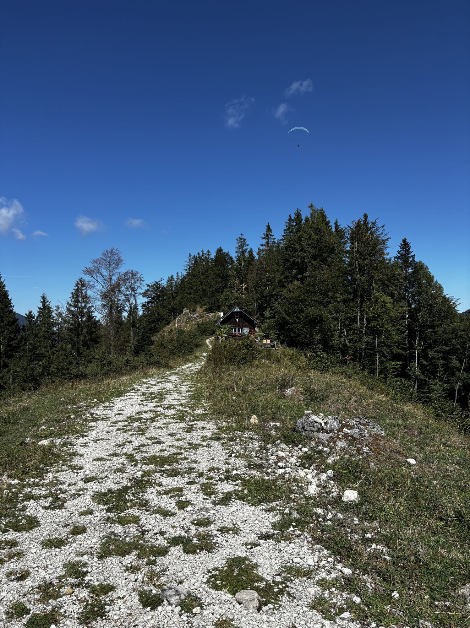
On trail 28, you pass the parking lot and the Bartl and Lärchen huts, which you will come by again in the afternoon on the descent.
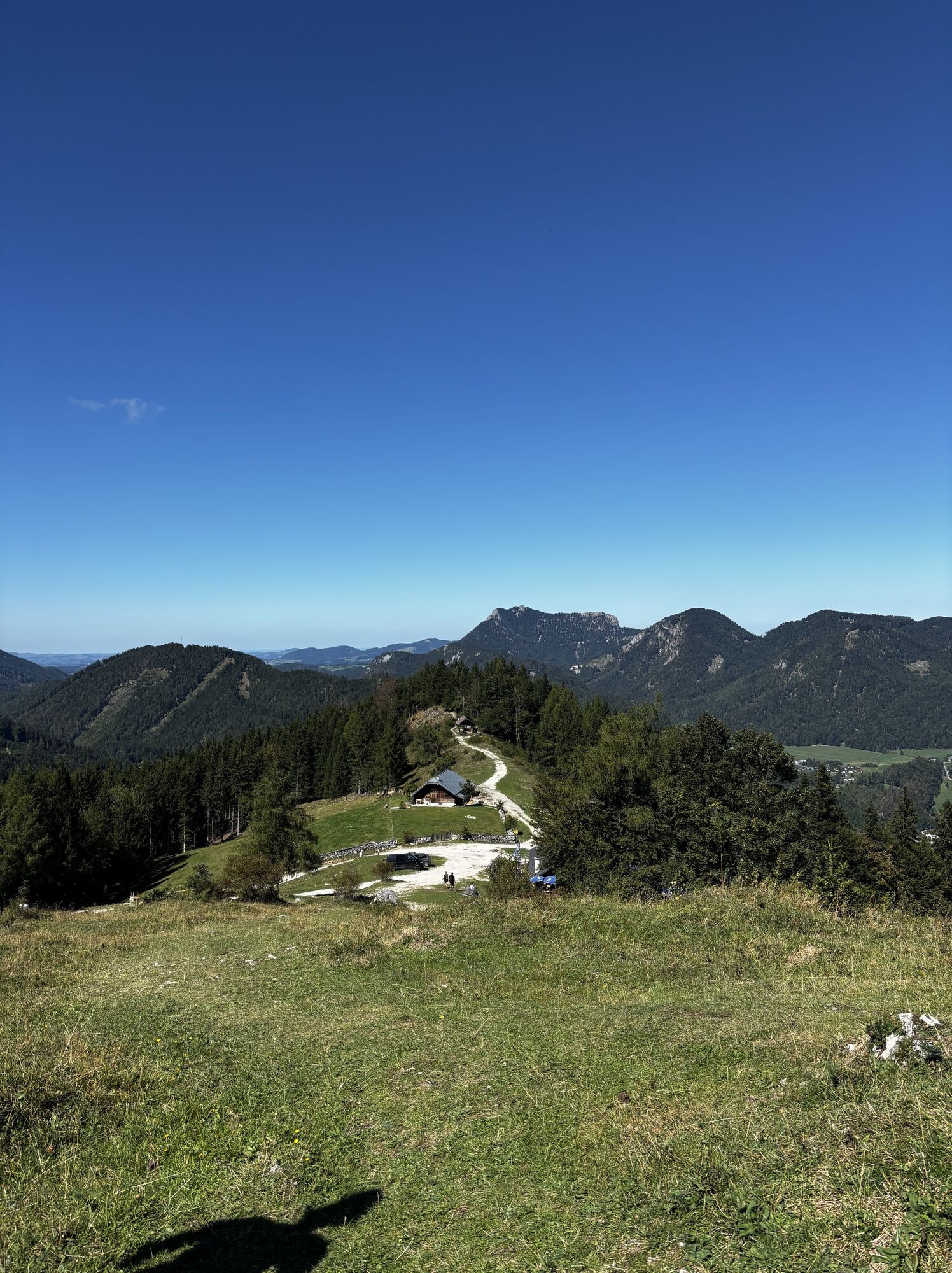
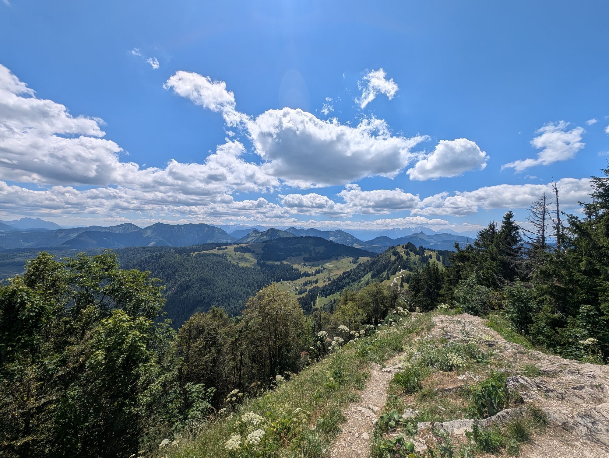
Gently ascending to the Sausteigalm, you are accompanied by magnificent views towards Elferstein (1376 m).
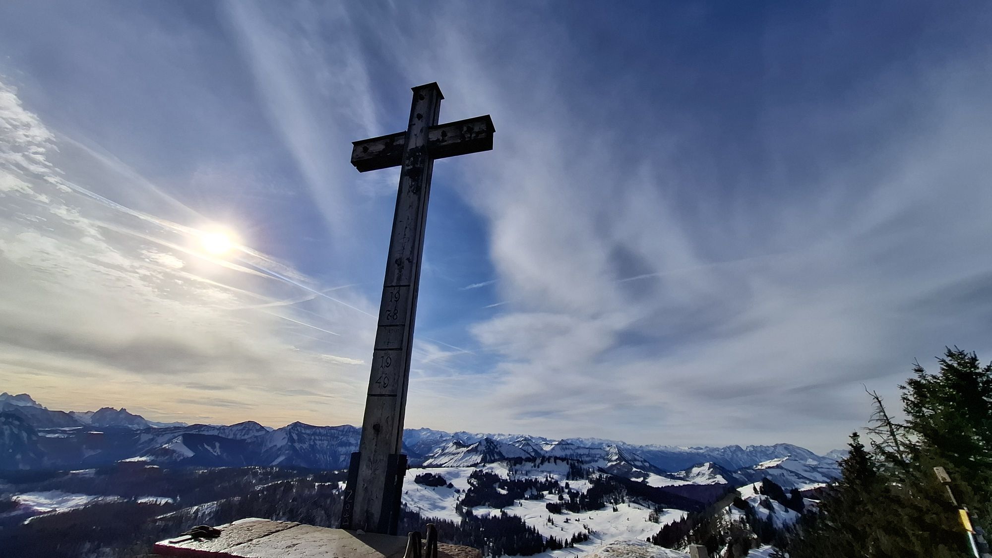
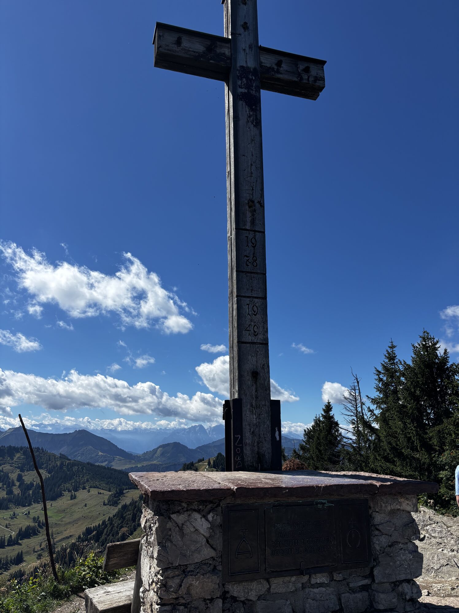
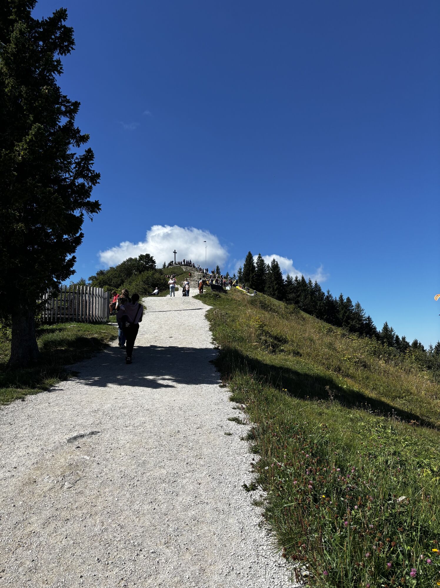
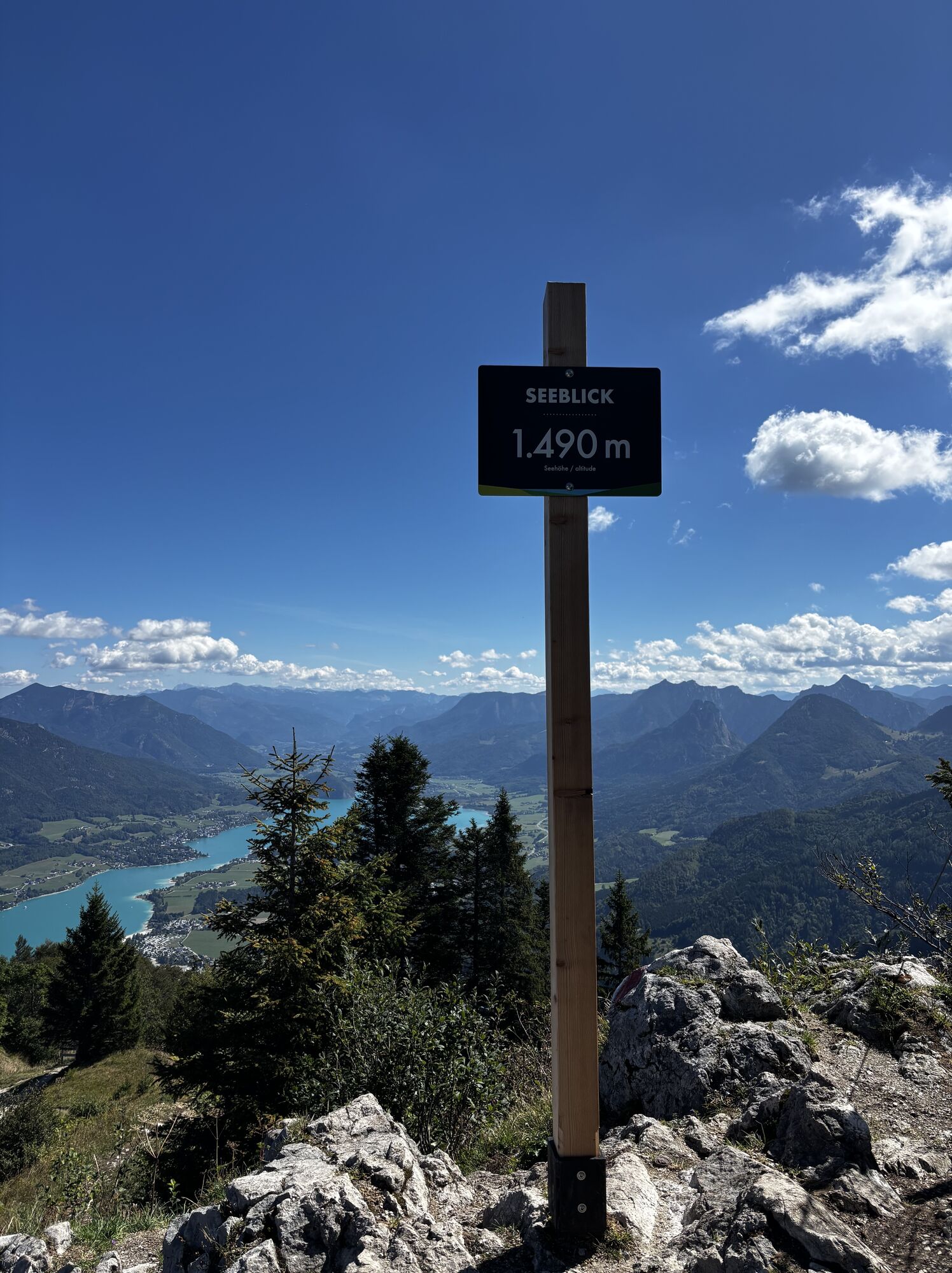
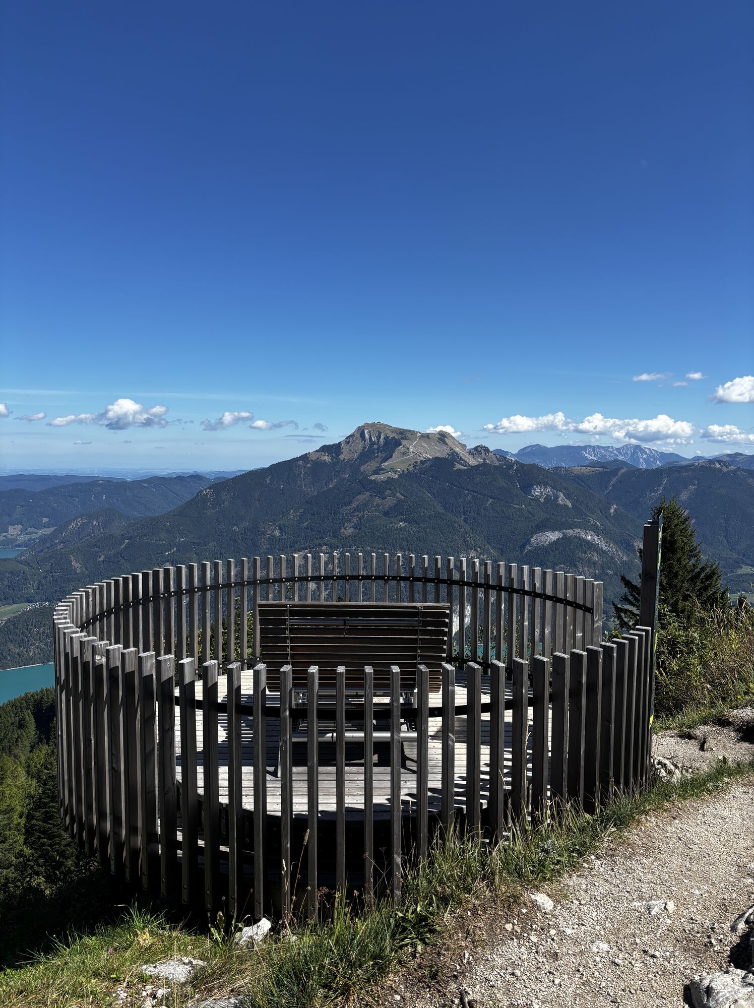
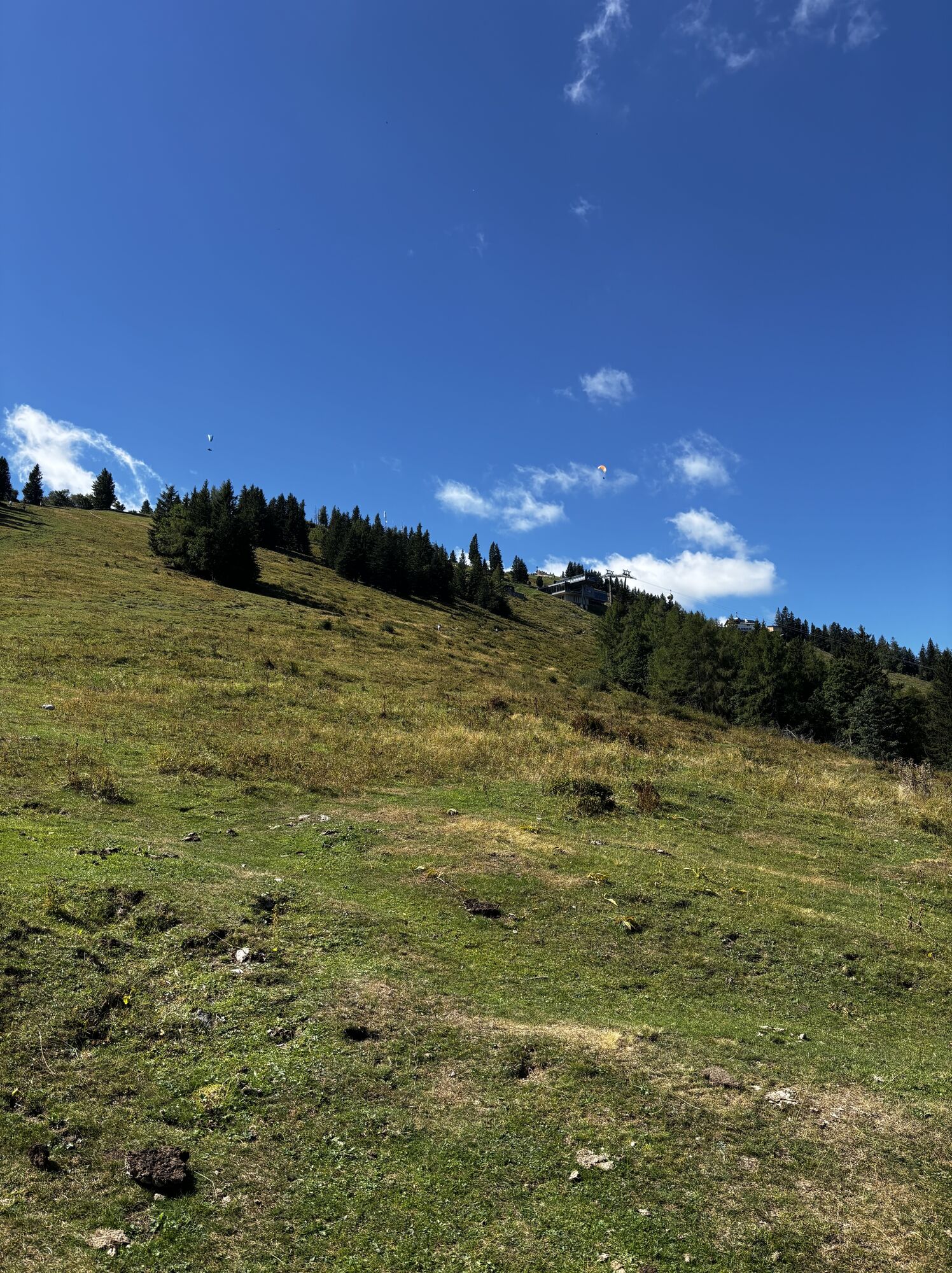
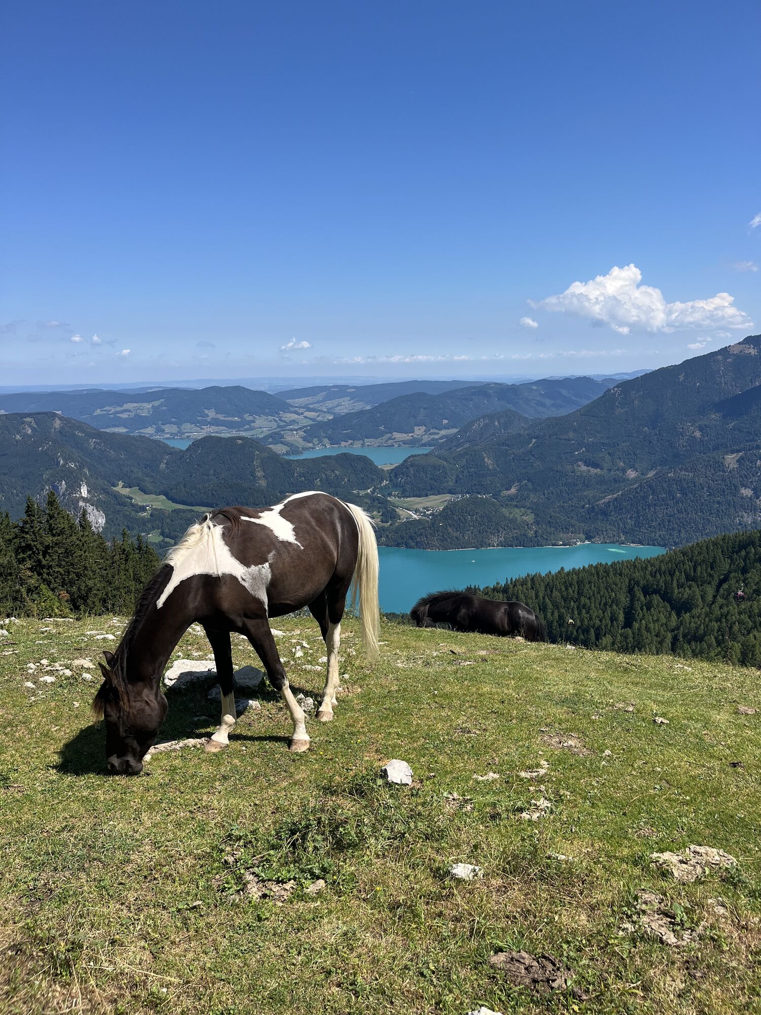
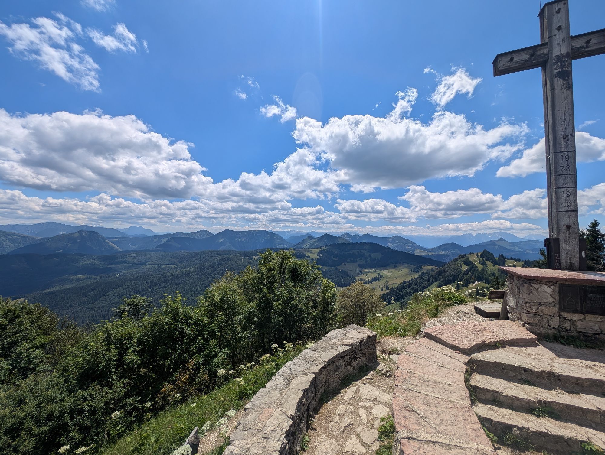
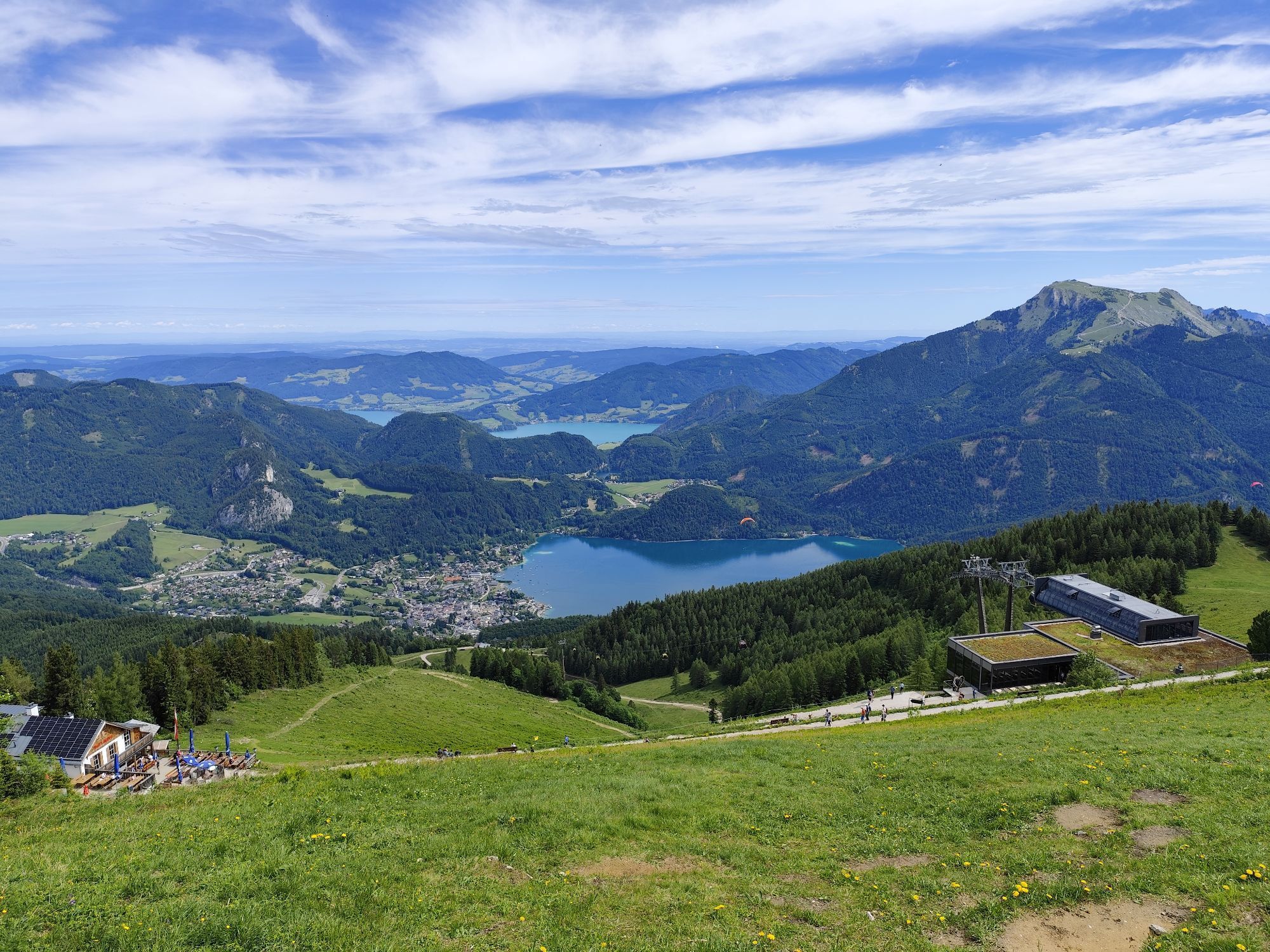
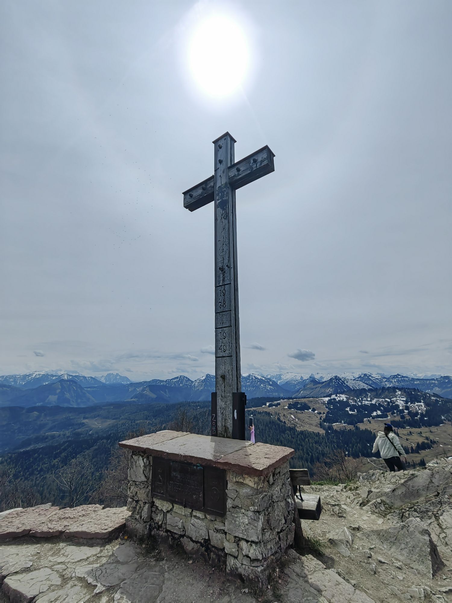
Then it goes over the Elferstein up to the summit of the Zwölferhorn, with wonderful views. From the Zwölferhorn, about 1 ½ hours on foot via hiking trail no. 1 to the Sausteigalm, continuing past the Weißwand guesthouse to St. Gilgen.
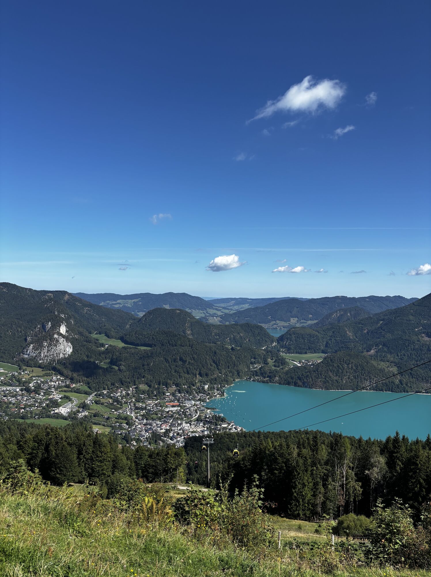
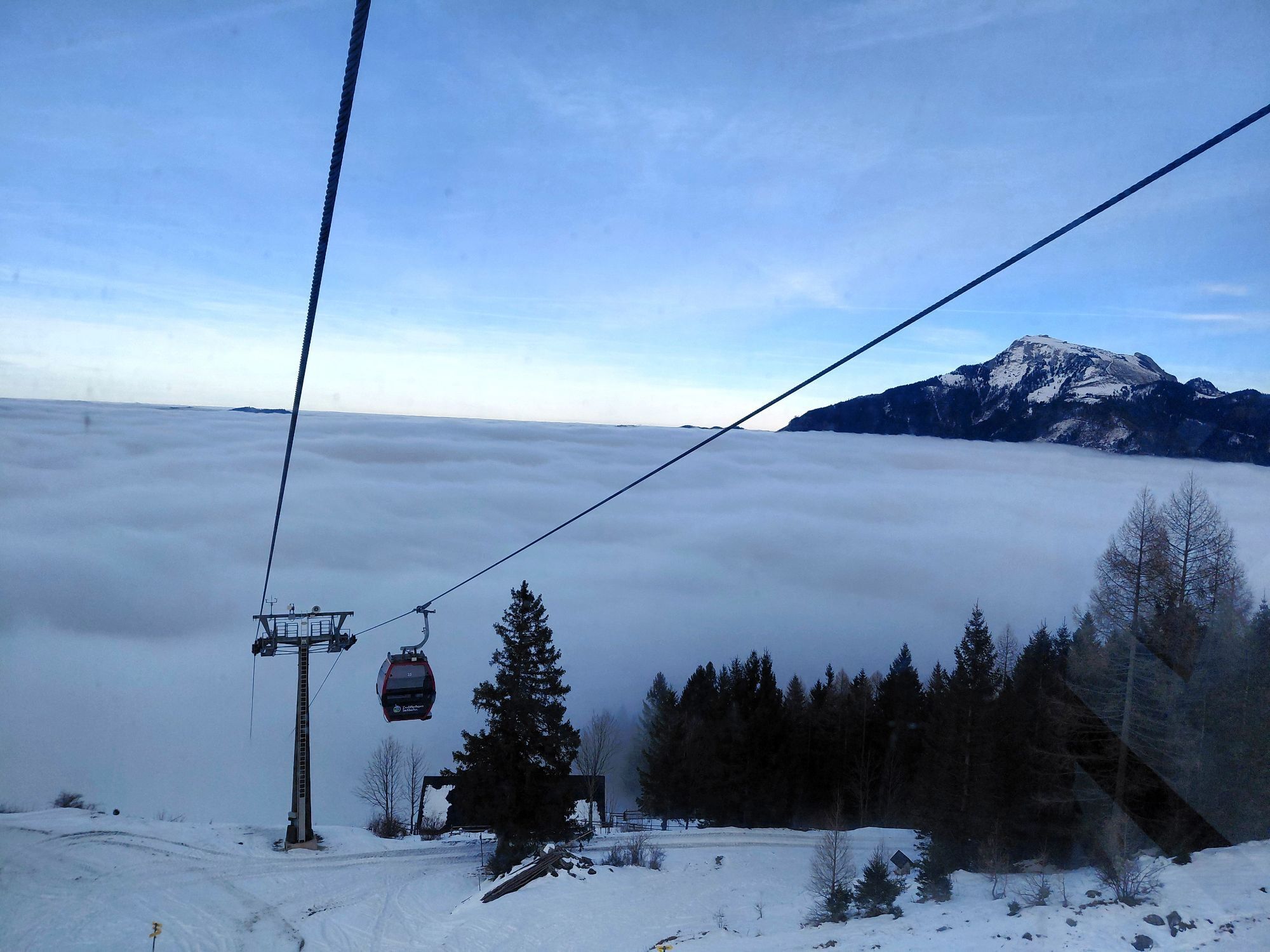
Alternatively, you can take the cable car down to the valley; your ticket for the descent is included with the package booking!
Shortcut options:
- At the end of the Ellmautal via the Mozartsteig directly to St. Gilgen
- With the Zwölferhorn cable car from the summit directly to St. Gilgen
- In case of very bad weather, take the luggage transfer to St. Gilgen and enjoy a stroll through the town
Tak
Tak
Sturdy footwear and possibly hiking poles are recommended.
Not all dining options are open. Make sure to have enough water and food before you start hiking. Do not expect any huts to be open!
Bring cash, as cards are not accepted in huts, especially on the Schafberg!
Dogs must be kept on a leash.
Arrival via the A1 West motorway - Thalgau exit
Follow the state road towards Hof near Salzburg. At the first roundabout take the second exit onto the Wolfgangsee federal road (B 158) and follow it to Fuschl am See.
By bus
Fuschl am See is very well accessible by public lines of the Salzburg Transport Association from Salzburg.
Salzburg Transport Association, line 150
By train
Information on train connections can be found at www.oebb.at or www.bahn.de
By plane
Salzburg Airport W.A. Mozart is located very close to the city of Salzburg. Bus lines 2 or 27 take you to the main station, where you can switch to bus no. 150.
As part of the package booking, the parking lot is included for you.
For the route starting from Fuschl am See, the public parking lot at the Fuschlseebad is suitable.
Information about the 4 Mountains 3 Lakes package via email incoming@fuschlseeregion.com +43 6226 8384
The Zwölfer Round along the Pillstein circular hiking trail with twelve stations and an additional summit, the Pillsteinhöhe. For the 3.5 km, you can allow about an additional hour.


Kamery internetowe z trasy



Popularne wycieczki w okolicy
-
4,8
Fuschl: Ruine Wartenfels - Schober - Frauenkopf
średniWędrówka 7,62 km -
4,4
Fuschlseewanderung
światłoWędrówka 11 km -
4,5
Weißenbach am Attersee - Schoberstein
średniWędrówka 6,50 km -
4,2
Pillstein Panorama Rundweg
światłoWędrówka 3,40 km -
3,9
Bärenweg am Lidaun
światłoWędrówka 9,05 km -
4,8
Abtenau: Postalm circular route 2 - Labenberg & Pitscherberg alms - (IVV circular hiking trail)
światłoWędrówka 10,1 km -
3,7
Mondsee: Rund um den Mondsee
światłoJazda na rowerze 26,3 km -
4,7
Pleasure hike over the Falkenstein
średniWędrówka 9,81 km -
4,6
The Plombergstein: Adventure and summit panorama
światłoWędrówka 4,12 km -
3,6
Unterach am Attersee: Hochplettspitz
Wędrówka 4,25 km

Wędrówki i tropienie


Nie przegap ofert i inspiracji na następne wakacje
Twój adres e-mail została dodana do listy mailingowej.





