






Neue Traunsteiner Hütte from Reith
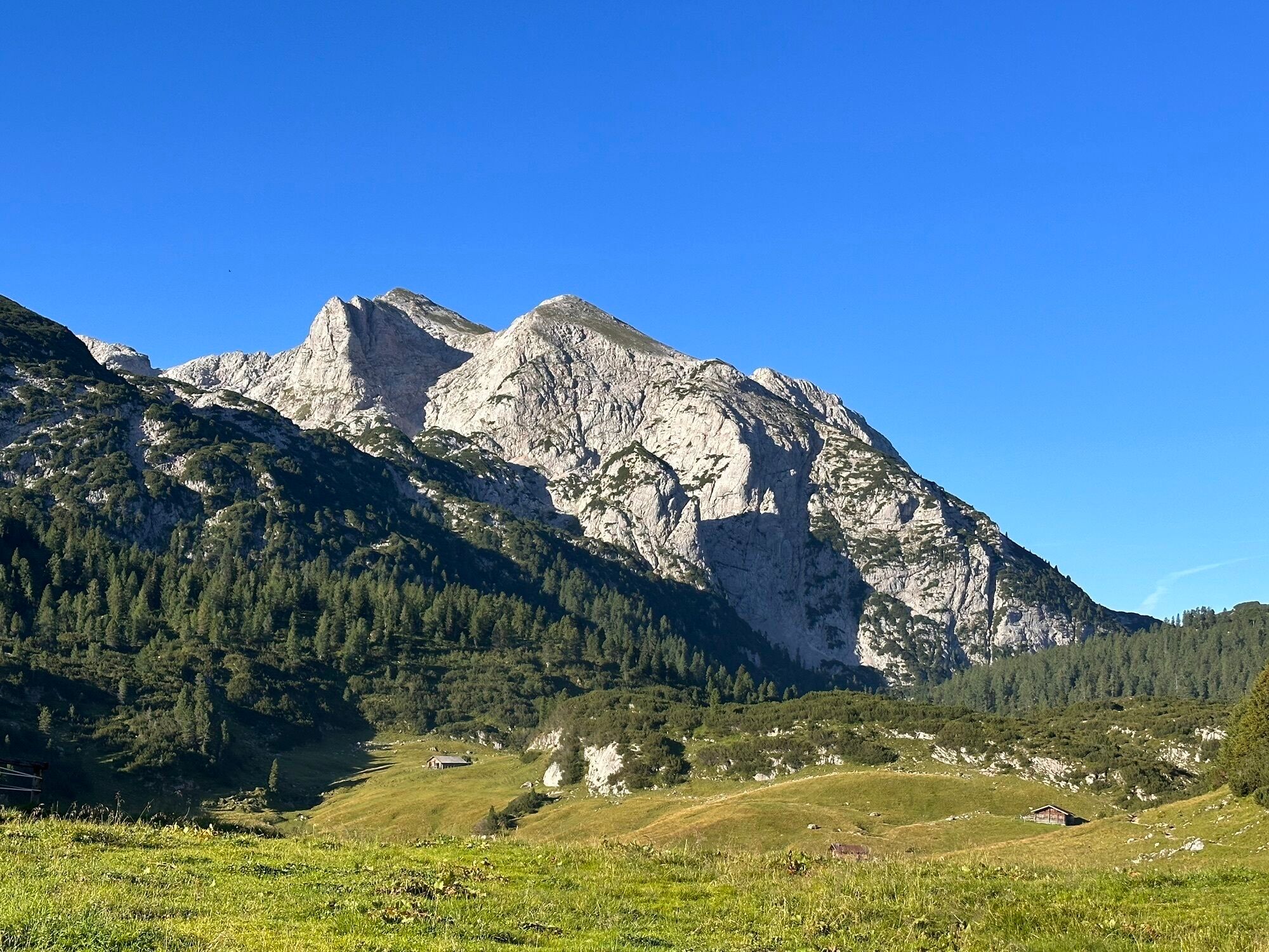
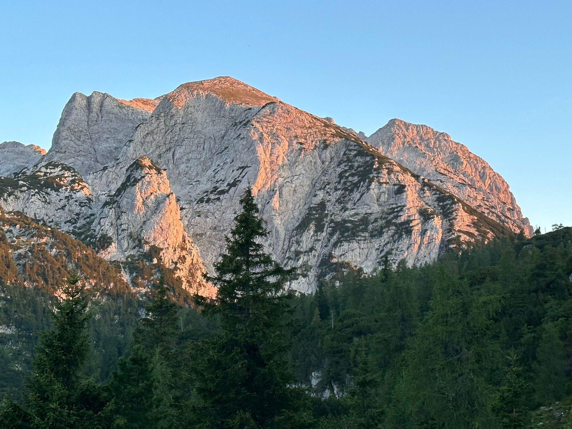
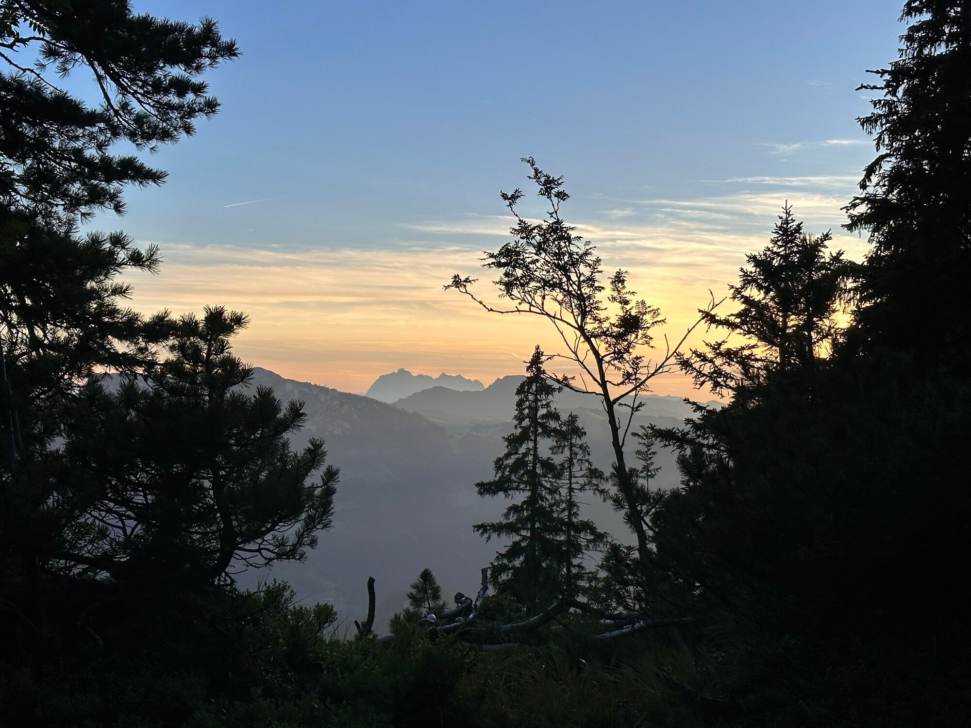
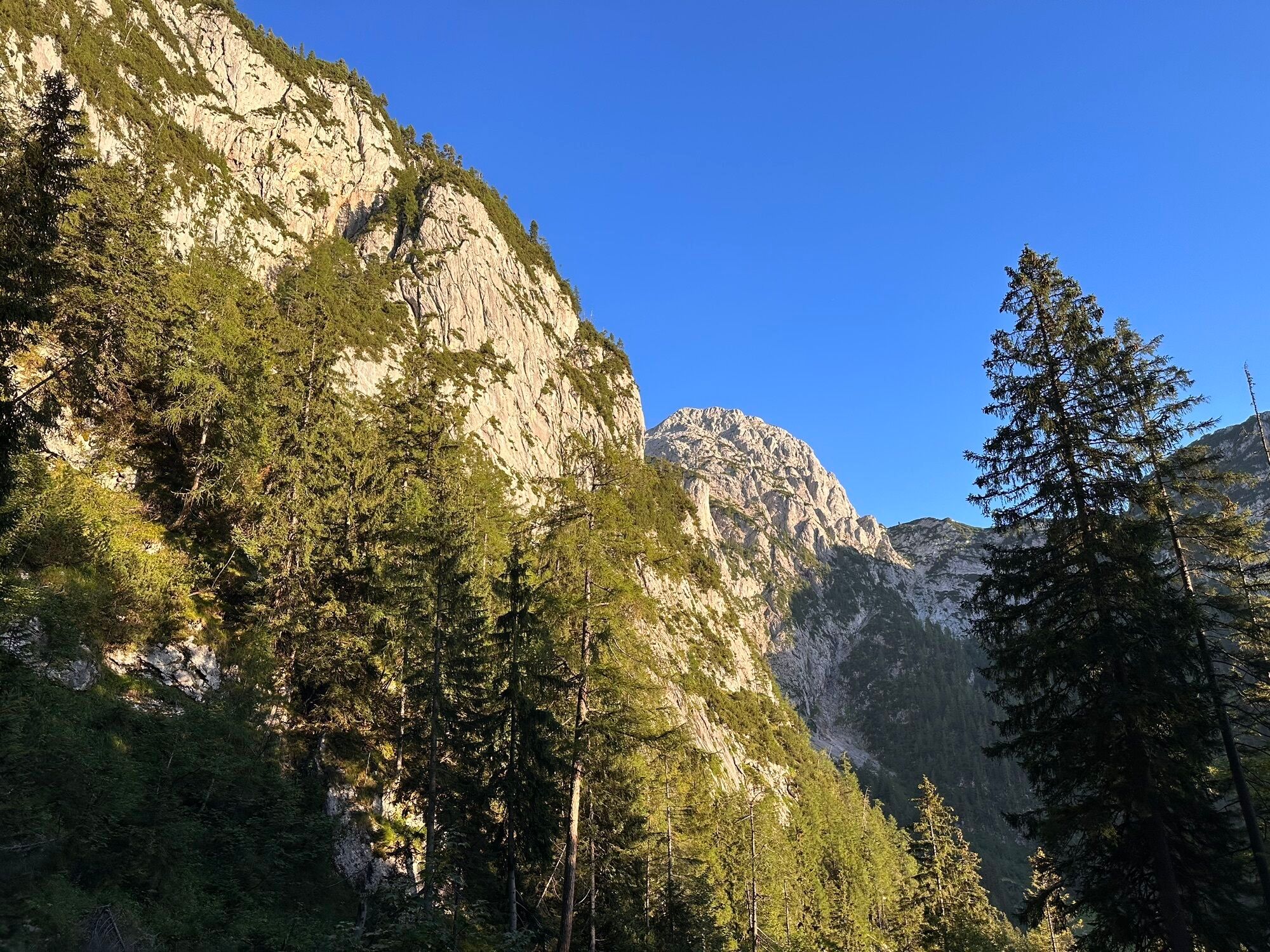
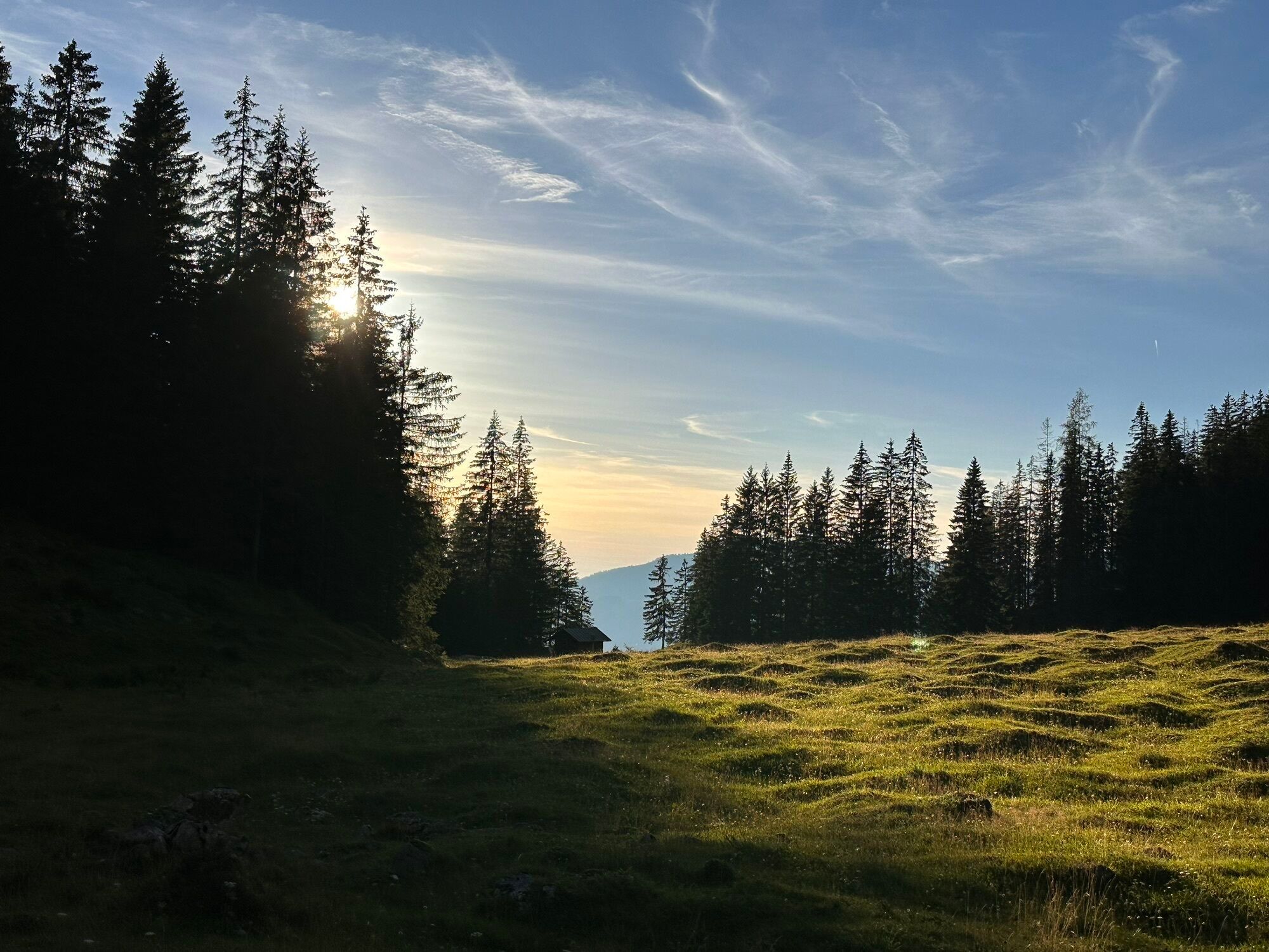
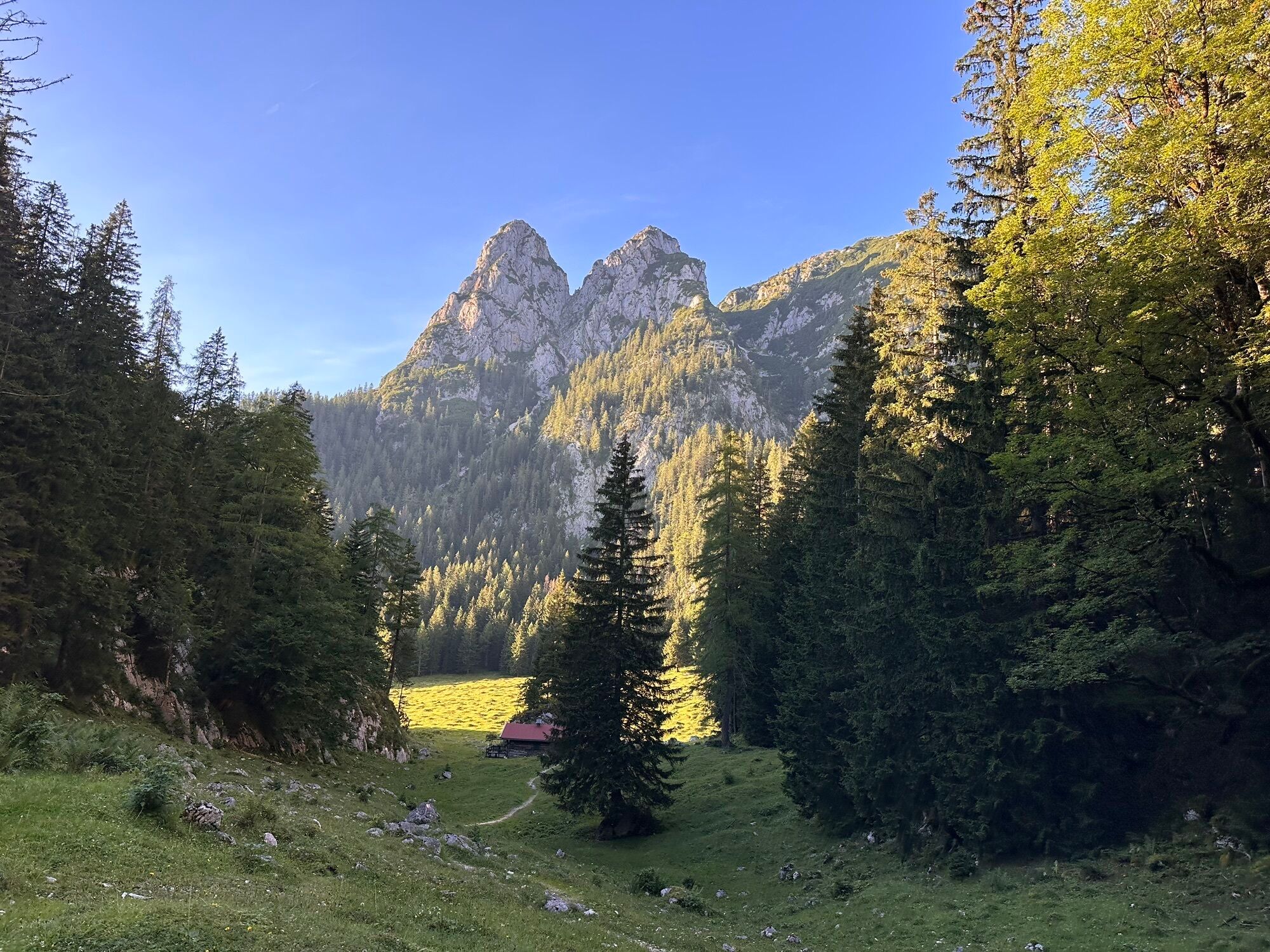
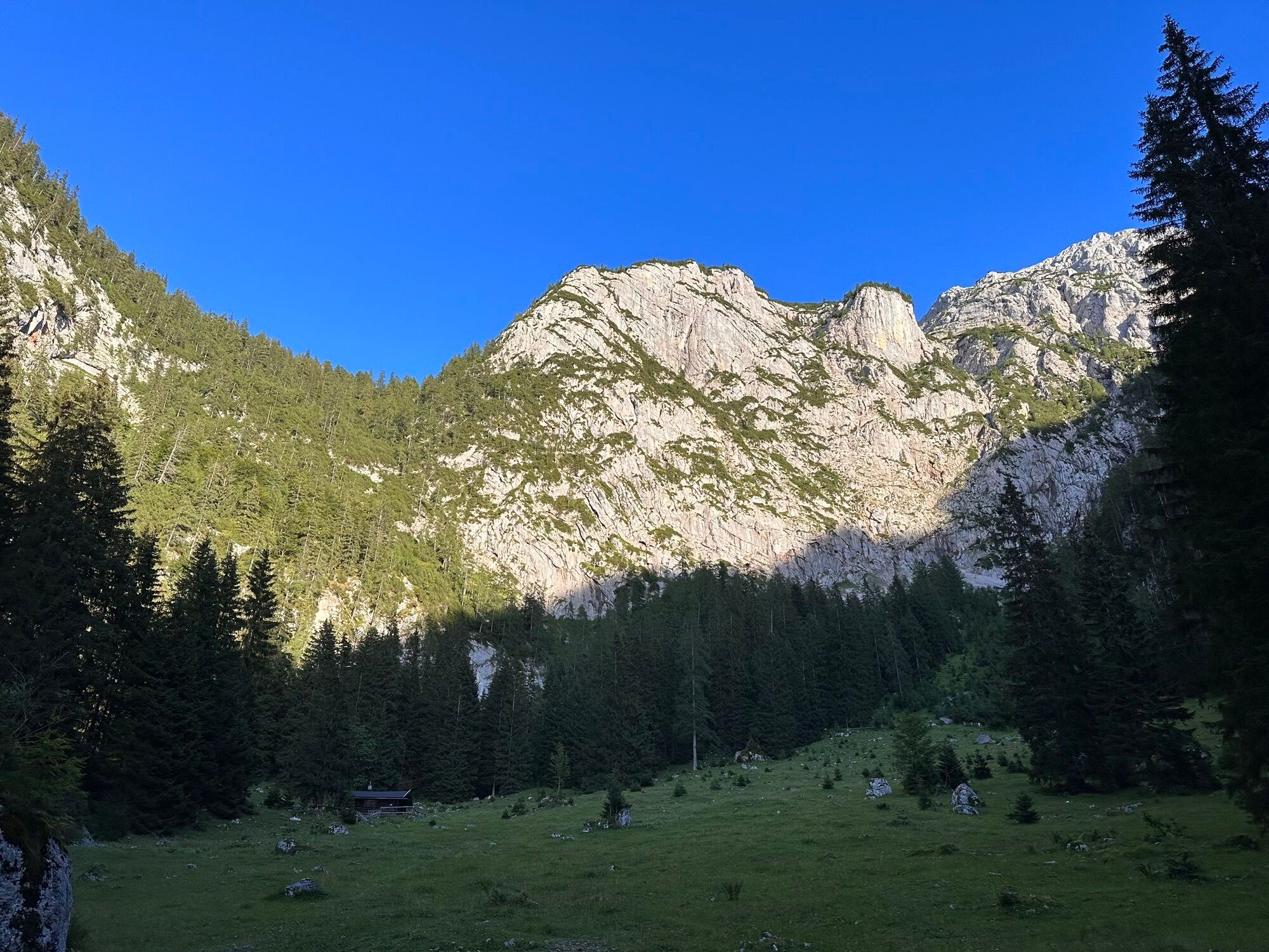
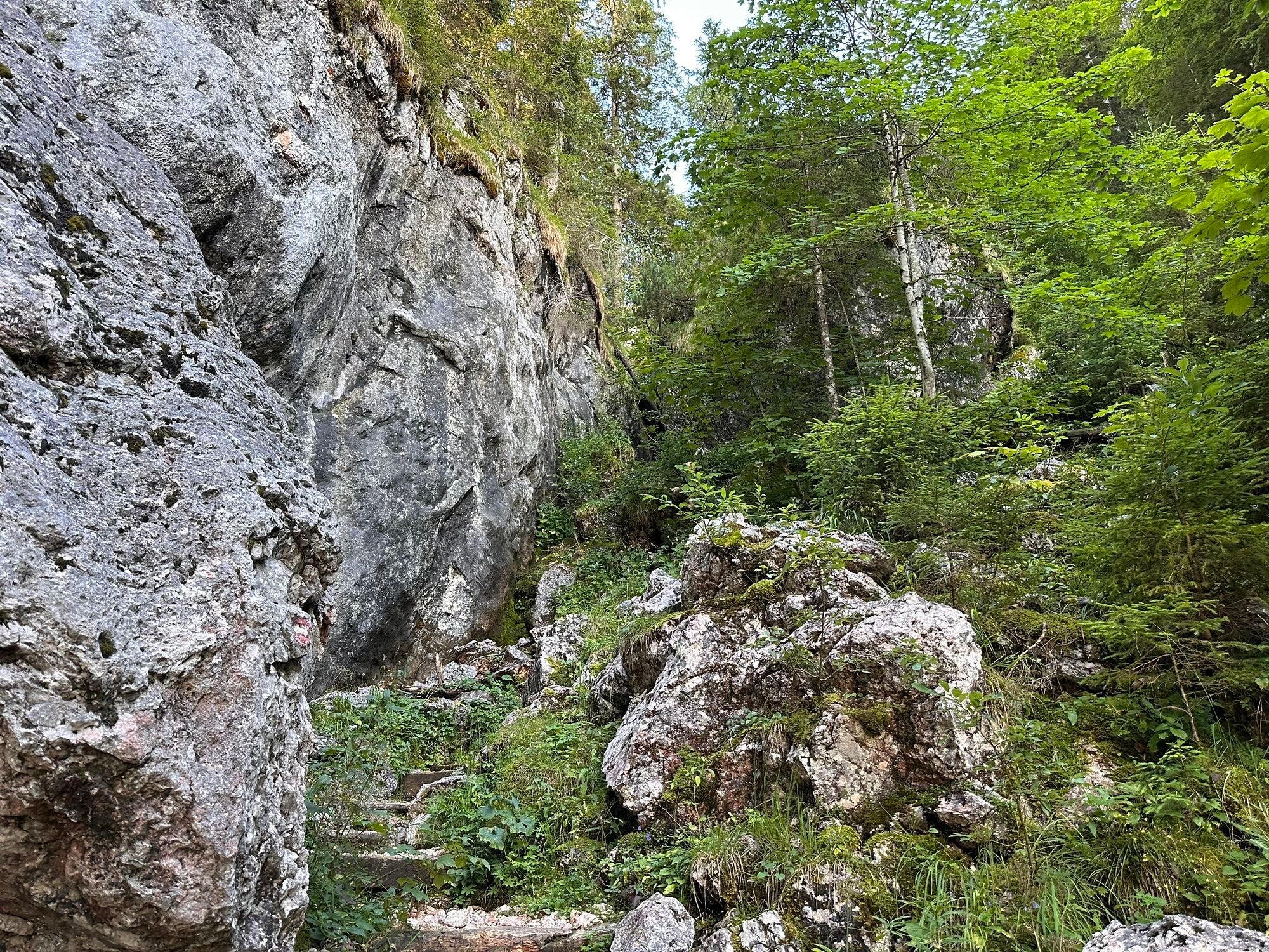
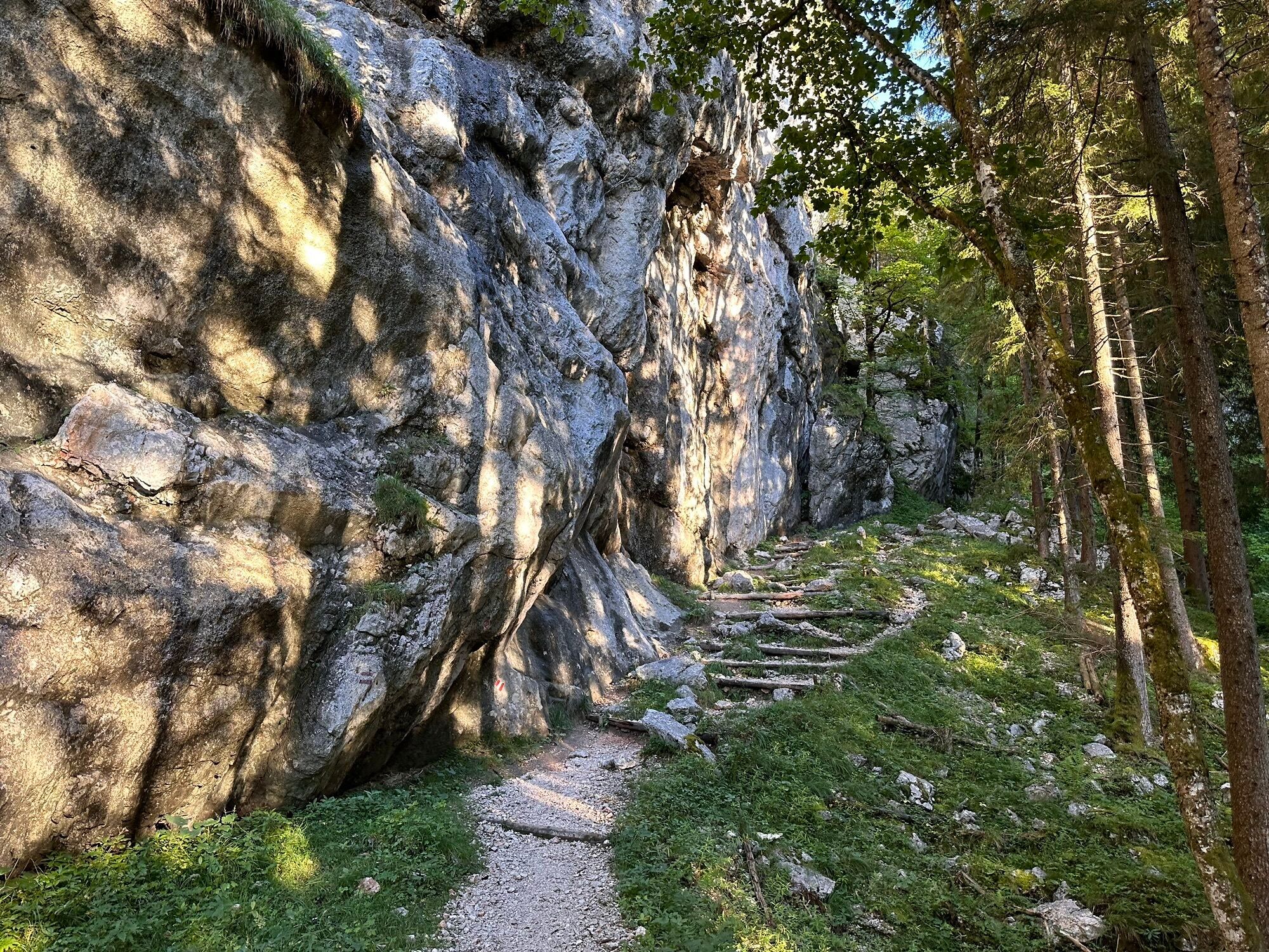
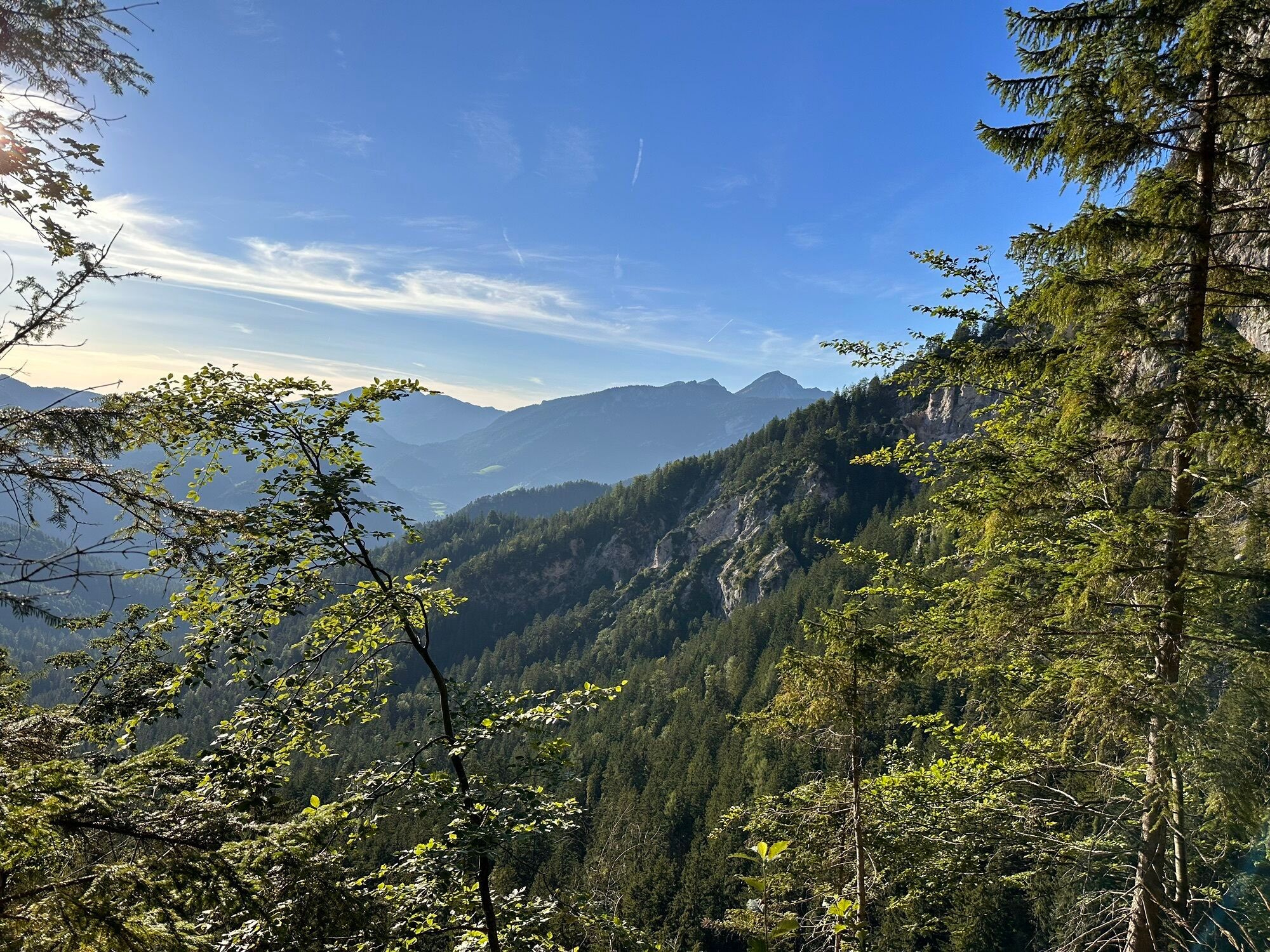
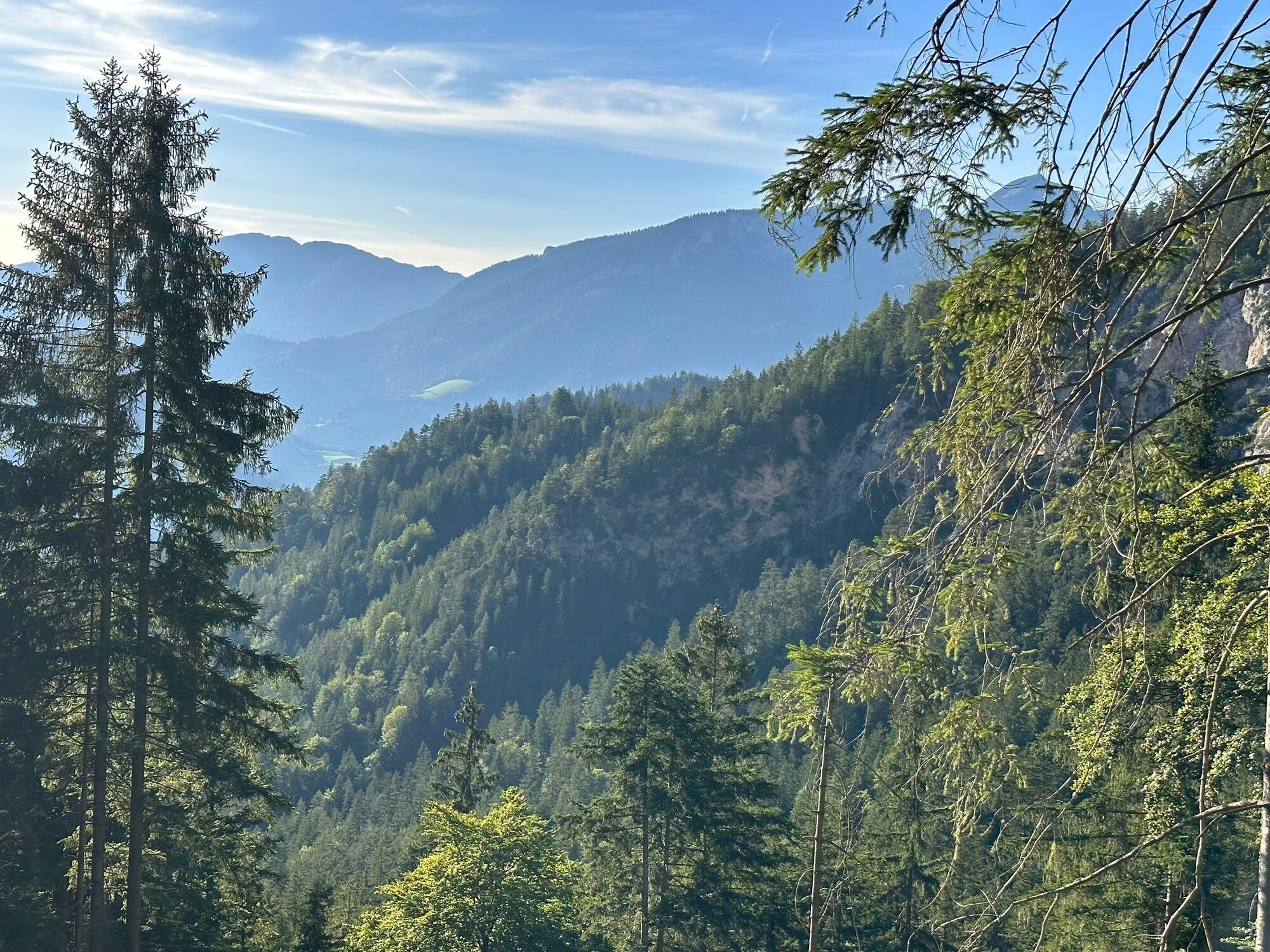
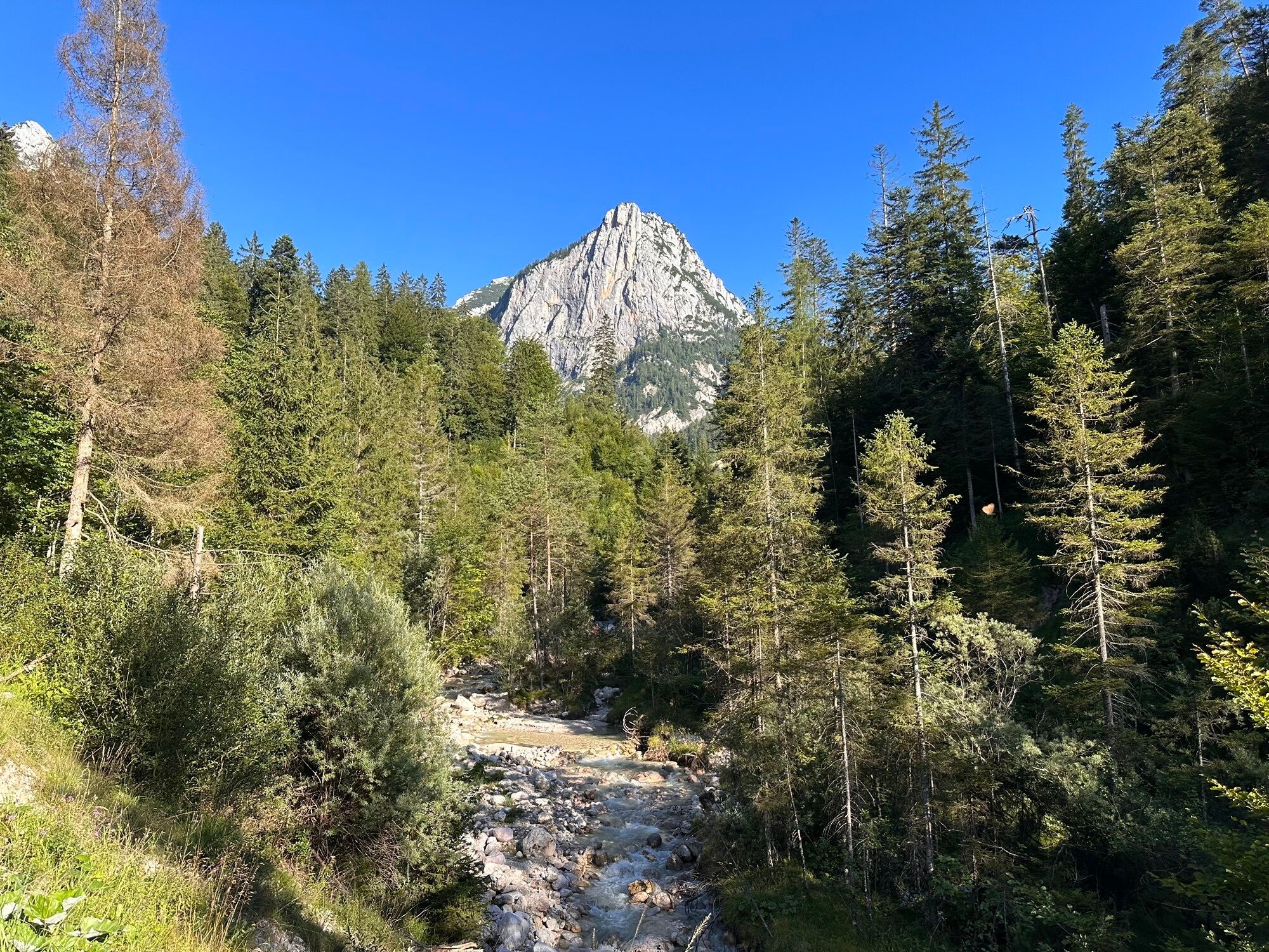
The route initially follows a marked forest road along the Donnersbach. Via the Alpasteig, you reach the idyllic Alpaalm and finally on to the hut. The new Traunsteiner Hütte in the Berchtesgaden Alps...
The route initially follows a marked forest road along the Donnersbach. Via the Alpasteig, you reach the idyllic Alpaalm and finally on to the hut. The new Traunsteiner Hütte in the Berchtesgaden Alps invites you to stop for a meal or even an overnight stay after the hike. Numerous peak ascents and climbing routes are possible.

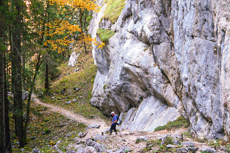
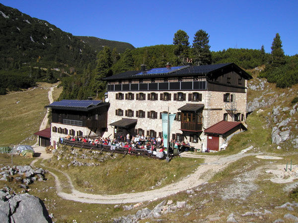

From Reith near Unken, walk on the red-marked forest road (path no. 470) for about ¾ hour, gently ascending along the left side of the Donnersbach until you reach a cattle path (Alpasteig) leading up to the idyllic Alpaalm (1,257 m). Here, climb the red-marked path (no. 470) with steps over larch-dotted terrain to the edge of the high plateau at 1,650 m. Finally, continue on this trail, passing the old Traunsteiner Hütte (1,579 m), almost level over alpine meadows to the new Traunsteiner Hütte (1,560 m).
Clothing: Comfortable hiking shoes, breathable clothing depending on the weather (T-shirt, light trousers).
Equipment: Small backpack, sunscreen, hat or cap, first aid kit, mobile phone.
Food supplies: Sufficient water, snacks (energy bars, nuts, dried fruits).
Navigation aids: Map or hiking app, compass (optional).
Others: Light pocket knife or multitool, insect repellent (if needed).
As needed: Rain jacket, sunglasses.
Coming from Bad Reichenhall towards Schneizlreuth: Follow the B21 towards Innsbruck/Lofer, past Saalachsee and Schneizlreuth to the border. On the Austrian side, continue on the B178 via Unken to Reit.
Coming from Berchtesgaden via Ramsau: Leave Berchtesgaden towards Ramsau and pass through the village of Engedey. After about 6 km at the football field on the left in Ramsau, follow the Deutsche Alpenstraße (B305) straight via Ramsau-Schwarzbachwacht to Unterjettenberg. From there, follow the B21 towards Innsbruck/Lofer, past Schneizlreuth to the border. On the Austrian side, continue on the B178 via Unken to Reit.
Coming from Zell am See on the B311 to Lofer, direction Salzburg.
(Arrival)
By bus line 260 (Salzburg - Lofer - Zell am See) to the stop "Lofer Reith" (timetable)
Parking lot at the end of the village of Reith (beginning of the forest road)

Kamery internetowe z trasy
Uzyskaj wgląd
Zawsze na żywo z ponad 9 500 kamer internetowych. bergfex Jako użytkownik Pro, możesz teraz zobaczyć odpowiednie kamery internetowe dla wielu wycieczek w aplikacji wycieczki od. Pozwala to na bezpośredni podgląd aktualnych warunków.

Popularne wycieczki w okolicy
-
4,4
Wimbachgrieshütte
Wędrówka 8,30 km -
4,6
Grünstein
światłoWędrówka 2,57 km -
4,3
Halsalm
Wędrówka 6,43 km -
5,0
Watzmann Überschreitung an einem Tag
ciężkiWędrówka 23,9 km -
3,8
Rundwanderweg zur Steinernen Agnes
Wędrówka 9 km -
4,9
Ramsau/Hintersee-Runde
światłoWędrówka 9,44 km -
4,9
Dötzenkopf Rundweg
średniWędrówka 6,95 km -
3,9
Soleleitungsweg
Wędrówka 10,5 km -
4,4
Alpgarten-Rundweg
Wędrówka 2,93 km -
4,8
Loferer Steinberge, zum Hinterhorn über die Schmid-Zabierow Hütte, 19.06.22
ciężkiWędrówka 14,0 km
Wędrówki i tropienie


Nie przegap ofert i inspiracji na następne wakacje
Twój adres e-mail została dodana do listy mailingowej.





