


From Weißbach to the Passauer Hut (2,051 m)


Varied path first over well-marked trails in the forest, later along the forest road to Hochgrub and from there further over beautiful mountain meadows to the alpine club hut of the Passau section in the...
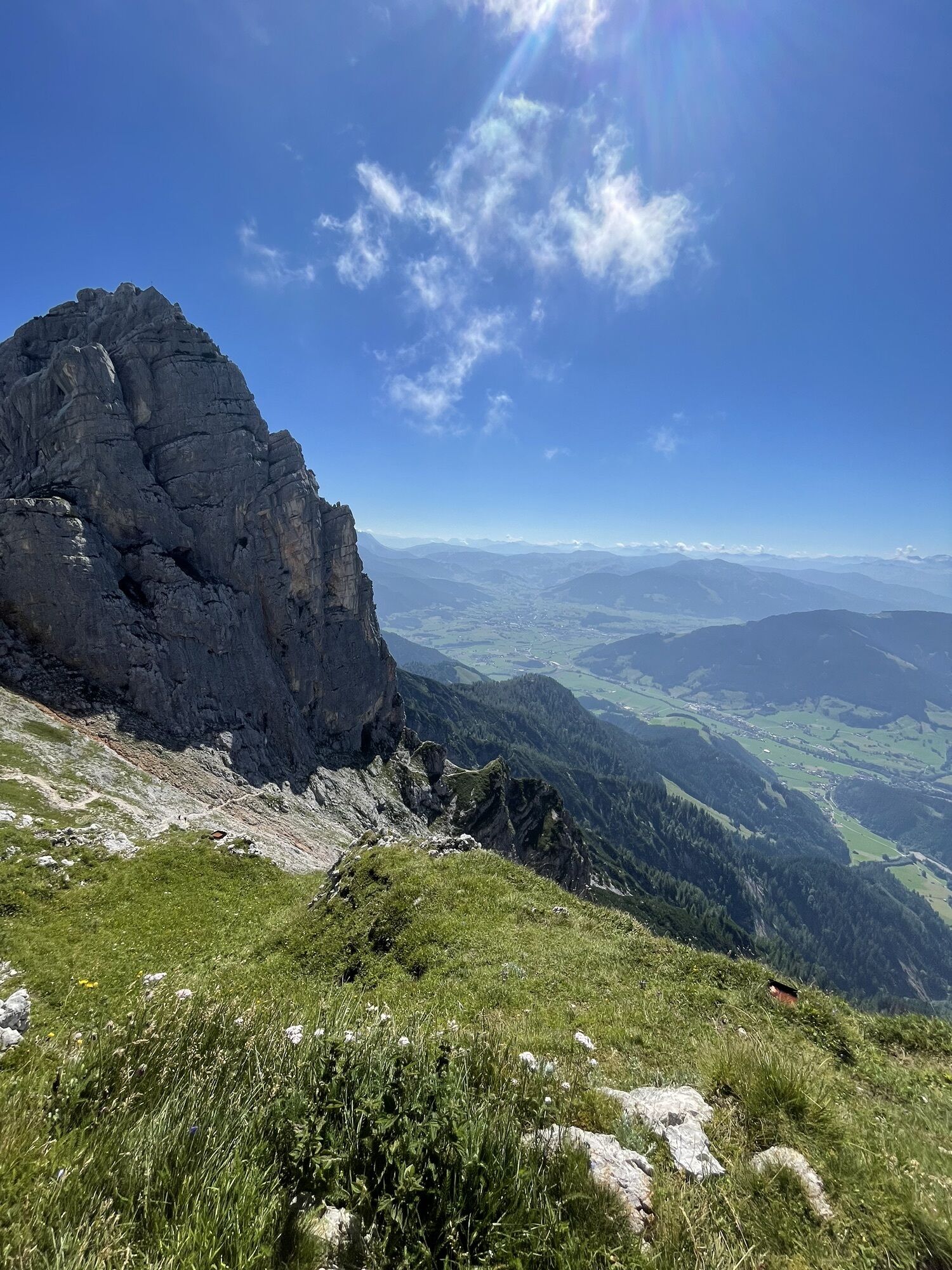
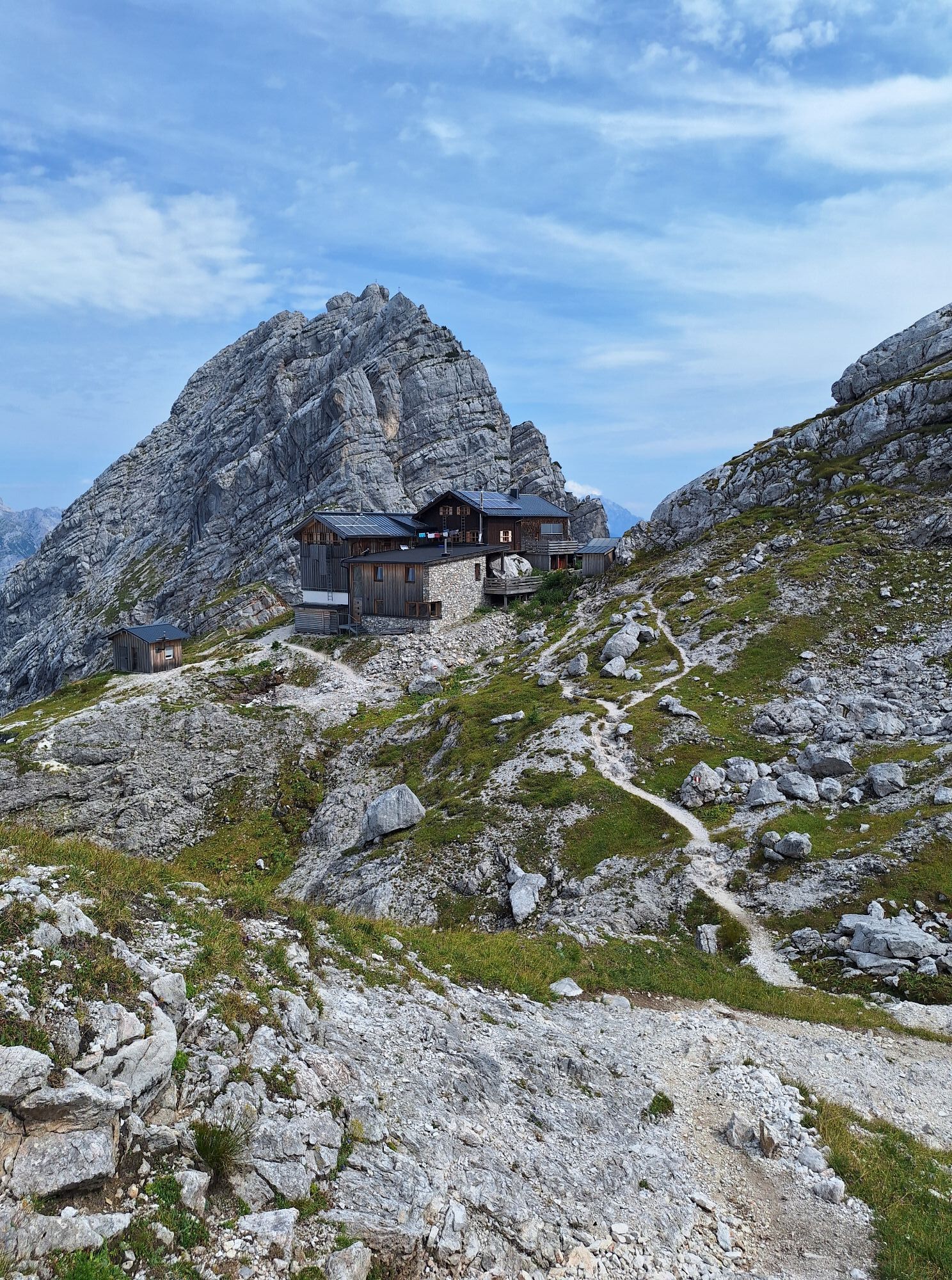
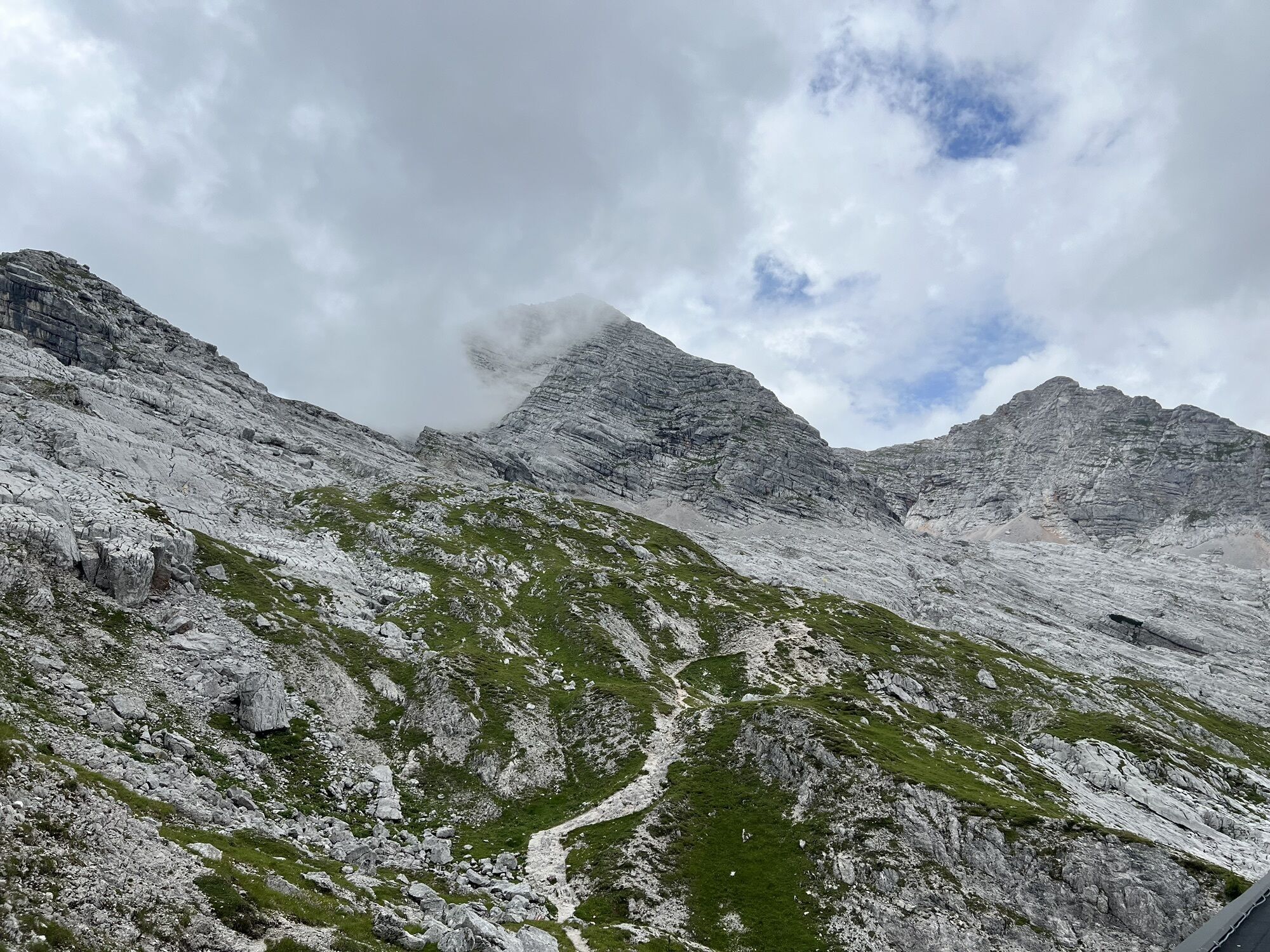
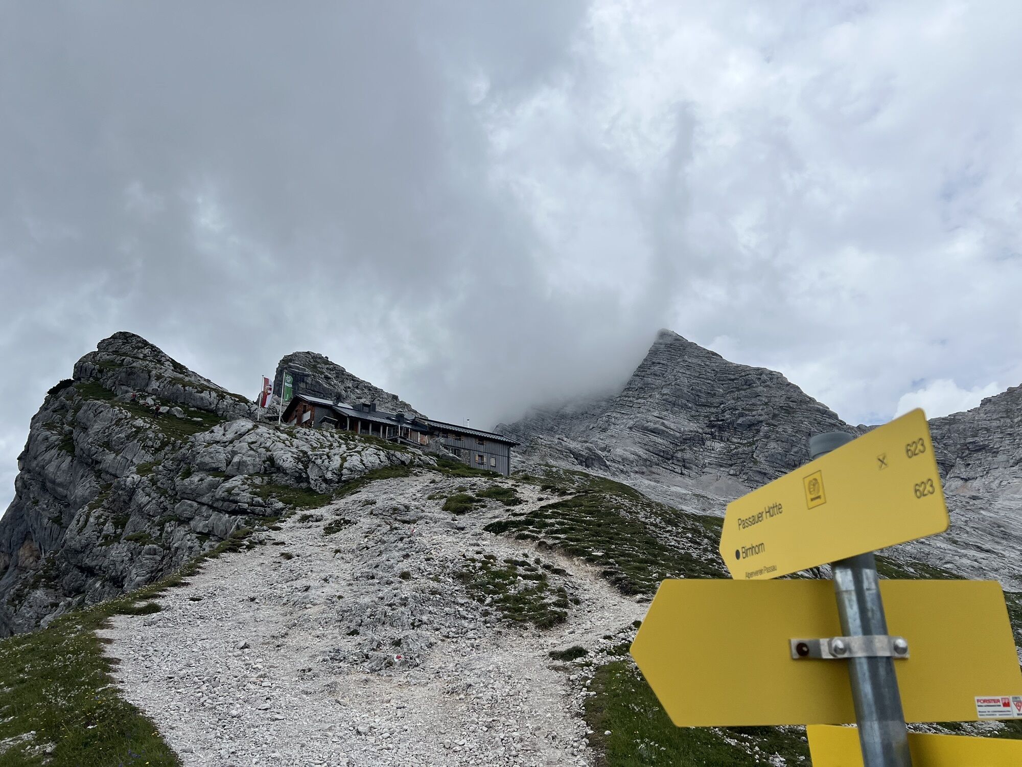
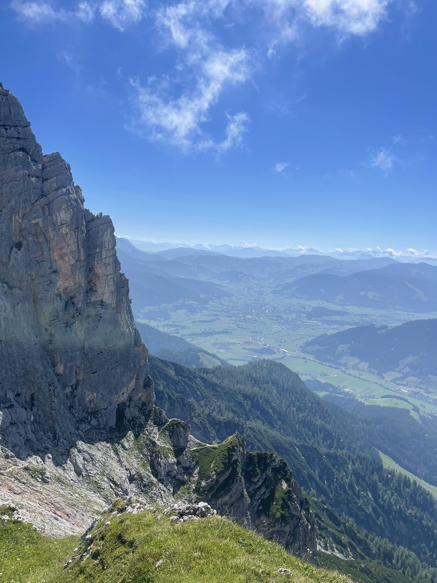
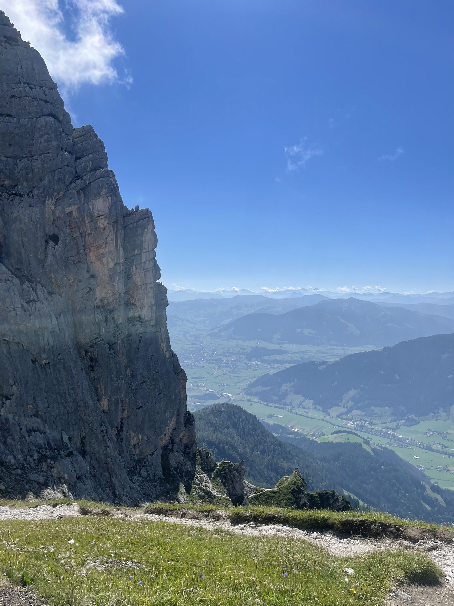
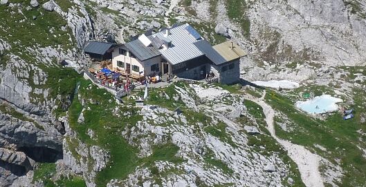
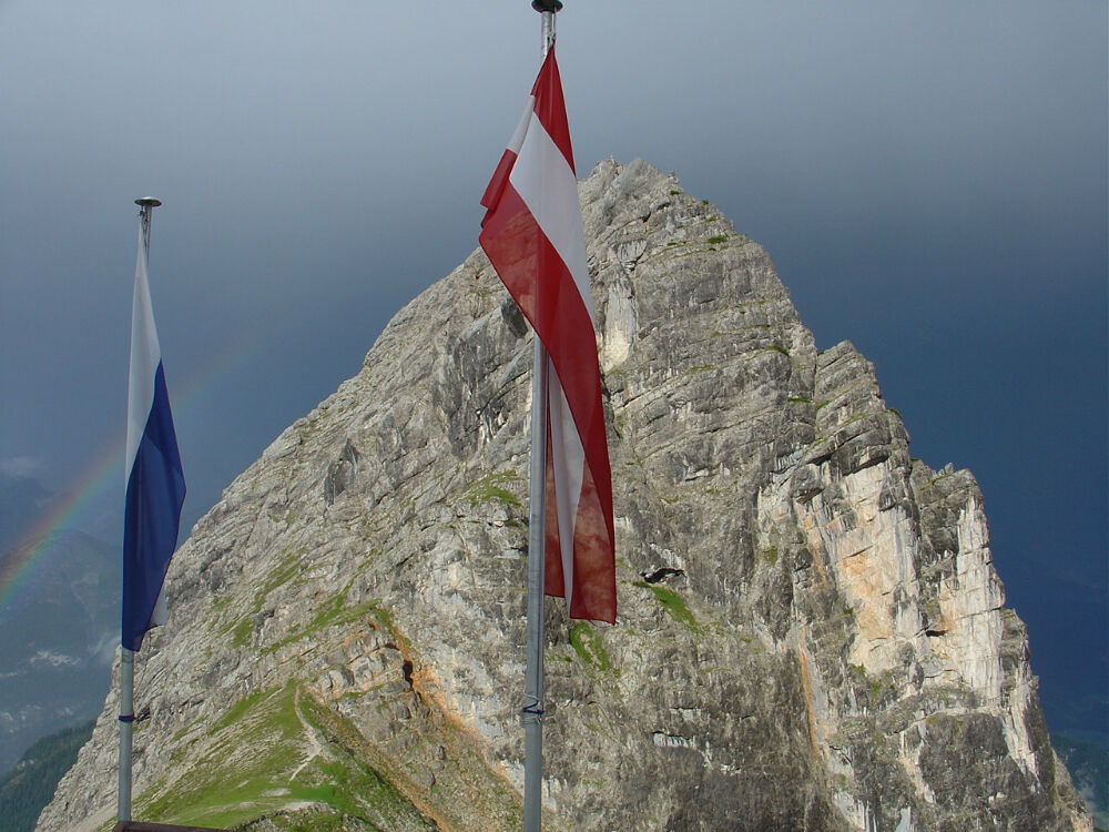
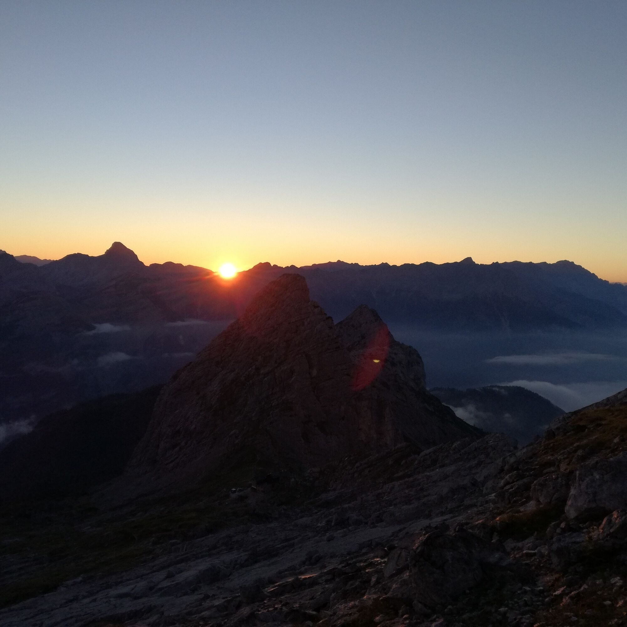
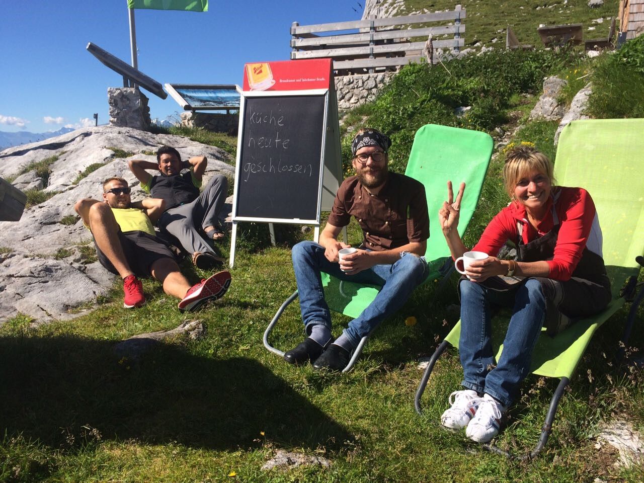
Varied path first over well-marked trails in the forest, later along the forest road to Hochgrub and from there further over beautiful mountain meadows to the alpine club hut of the Passau section in the Mittagsscharte between Birnhorn and Fahnköpfl. This is the only serviced shelter in the Leoganger Steinberge and offers an impressive panorama towards the south up to the Hohe Tauern.

On the B 311 between Weißbach and Saalfelden there is a parking lot on the right side (by the wooden bridge). From the parking lot, walk over the Saalach bridge to the trail fork (sign for Passauer Hütte) to the right. Here begins a marked trail, the so-called Pfannsteig, which ascends moderately to steeply in switchbacks up to the forest road (1 – 1.5 hours). Follow the forest road uphill to the left over a few switchbacks to a small crossroads. From there, continue straight along the forest road until after about 20 minutes a marked trail branches off to the left into the forest. This trail leads you through the high forest with interesting flora to the Hochgrub hunting lodge, where the last water source before the hut is located. Continue a bit through the forest, cross a beautiful alpine meadow, and then ascend steeply to Hochgrub. The path then continues with only a moderate ascent to the Passauer Hütte.
(Source: http://passauer-huette.de/huetten-info/zustiege/)
Tip: With the Almwandertaxi you can shorten the route by about 2 hours by having yourself driven via the forest road to Niedergrub.
Clothing: Comfortable hiking boots, breathable clothing depending on the weather (T-shirt, light pants).
Equipment: Small backpack, sunscreen, hat or cap, first aid kit, mobile phone.
Provisions: Sufficient water, snacks (energy bars, nuts, dried fruit).
Navigation aids: Map or hiking app, compass (optional).
Other: Light pocket knife or multitool, insect repellent (if needed).
As needed: Rain jacket, sunglasses.
On the B311 coming from Saalfelden or Lofer, the parking lot is located on the federal highway in the Weißbach district of Diesbach. (directions)
Take the train to Saalfelden or Salzburg and then continue with the Postbus line 260 (Zell am See - Salzburg) to the Weißbach Gramlerbauer stop. From there, walk about 10 minutes along the bike path towards Weißbach to the bridge over the Saalach. (timetable)
Diesbach parking lot, directly on federal highway 311.
Collect points for the hiking pass of the Salzburger Saalachtal.
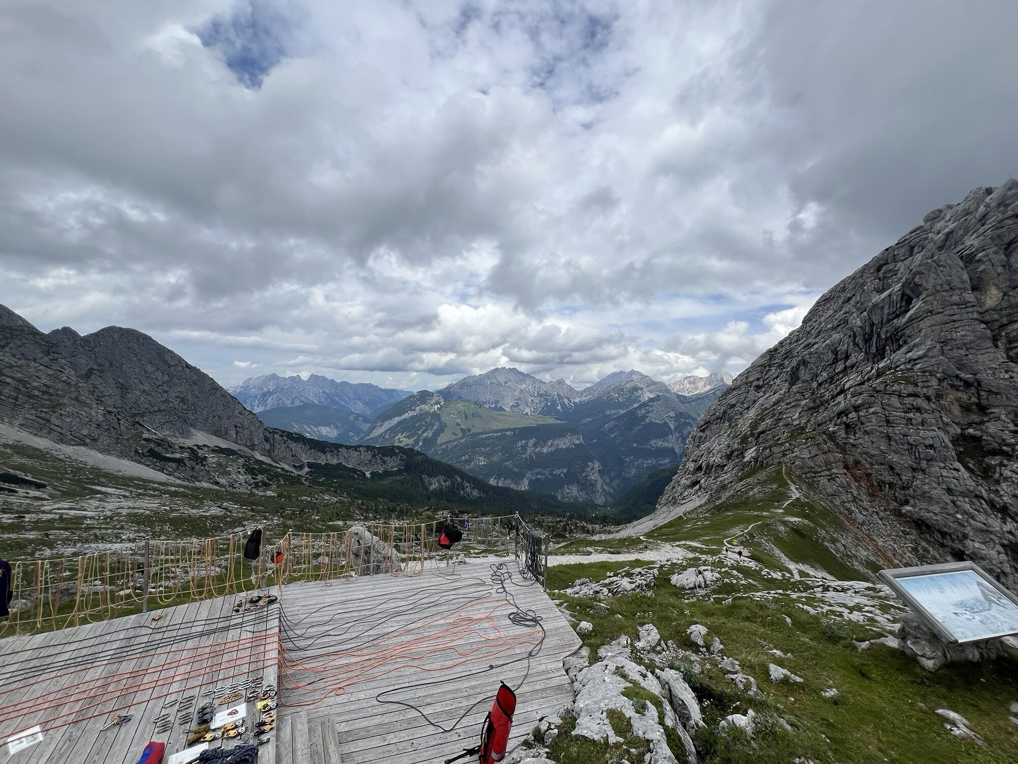
The hut is the starting point for various summit ascents, e.g., to the Hochzint or the Birnhorn. The region is also a popular climbing area with several via ferratas and sport climbing routes.
Popularne wycieczki w okolicy
- 5,0
Königssee - Kärlinger-Haus
Wędrówka 10,1 km - 4,4
Wimbachgrieshütte
Wędrówka 8,30 km - 4,2
Maria Alm - Riemannhaus
Wędrówka 3,99 km - 4,3
Halsalm
Wędrówka 6,43 km - 4,6
Steinalm
światłoWędrówka 2,71 km - 5,0
Watzmann Überschreitung an einem Tag
ciężkiWędrówka 23,9 km - 4,3
Peter-Wiechenthaler Hut
średniWędrówka 4,32 km - 4,8
Loferer Steinberge, zum Hinterhorn über die Schmid-Zabierow Hütte, 19.06.22
ciężkiWędrówka 14,0 km - 4,1
Passauer Hütte
ciężkiWędrówka 4,14 km - 5,0
Schönfeldspitze 12.08.2020
ciężkiWycieczka wysokogórska 15,3 km
Wędrówki i tropienie


Nie przegap ofert i inspiracji na następne wakacje
Twój adres e-mail została dodana do listy mailingowej.