






Lercheckerwand viewing platform
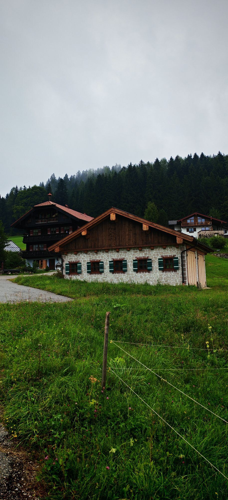
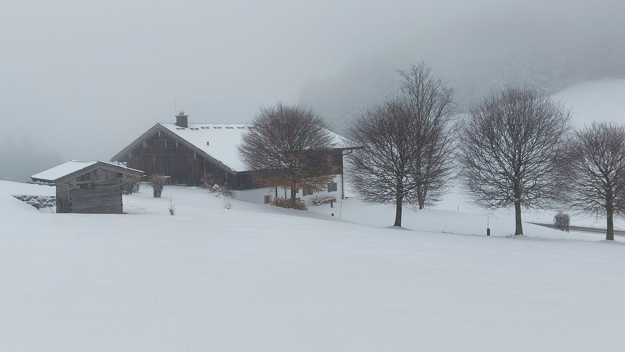
The cross-border hike passes through a peaceful landscape, as harmonious as it could be. The borders are barely noticeable, neither linguistic nor geographical. During the time of the Archbishopric of...
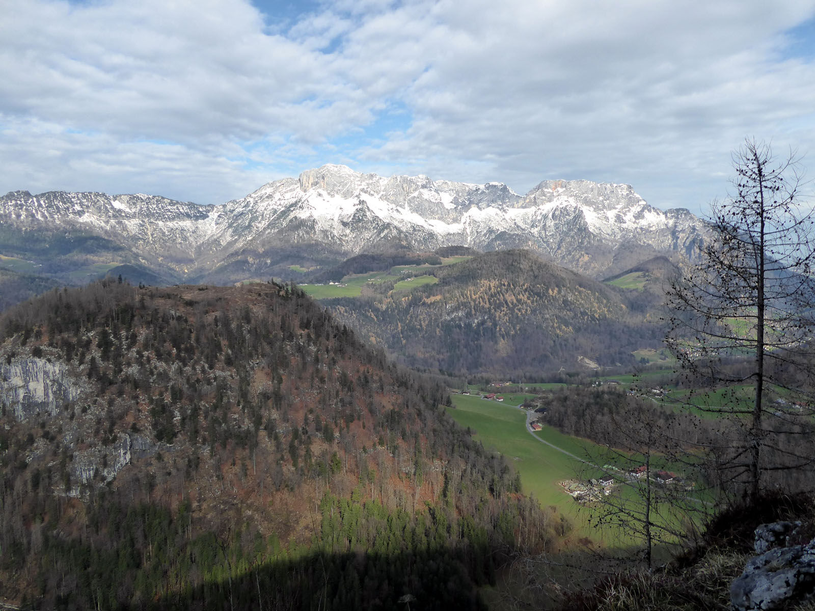
The cross-border hike passes through a peaceful landscape, as harmonious as it could be. The borders are barely noticeable, neither linguistic nor geographical. During the time of the Archbishopric of Salzburg and the Prince Provostry of Berchtesgaden, however, the relationship between the two salt producers was not always so conflict-free. The valuable salt, the cause of many disputes, is no longer mined in Dürrnberg, but the traces are still plentiful: old mine entrances, boundary stones marking property rights, or former mining buildings can be found on the interesting route, marked with the miners' tools hammer and pick. The highlight and highest point is the short detour to the Lercheckerwand viewing platform (985 m). Just like the historical arc, the magnificent panorama extends from the city of Salzburg in the north over the Untersberg to Berchtesgaden.

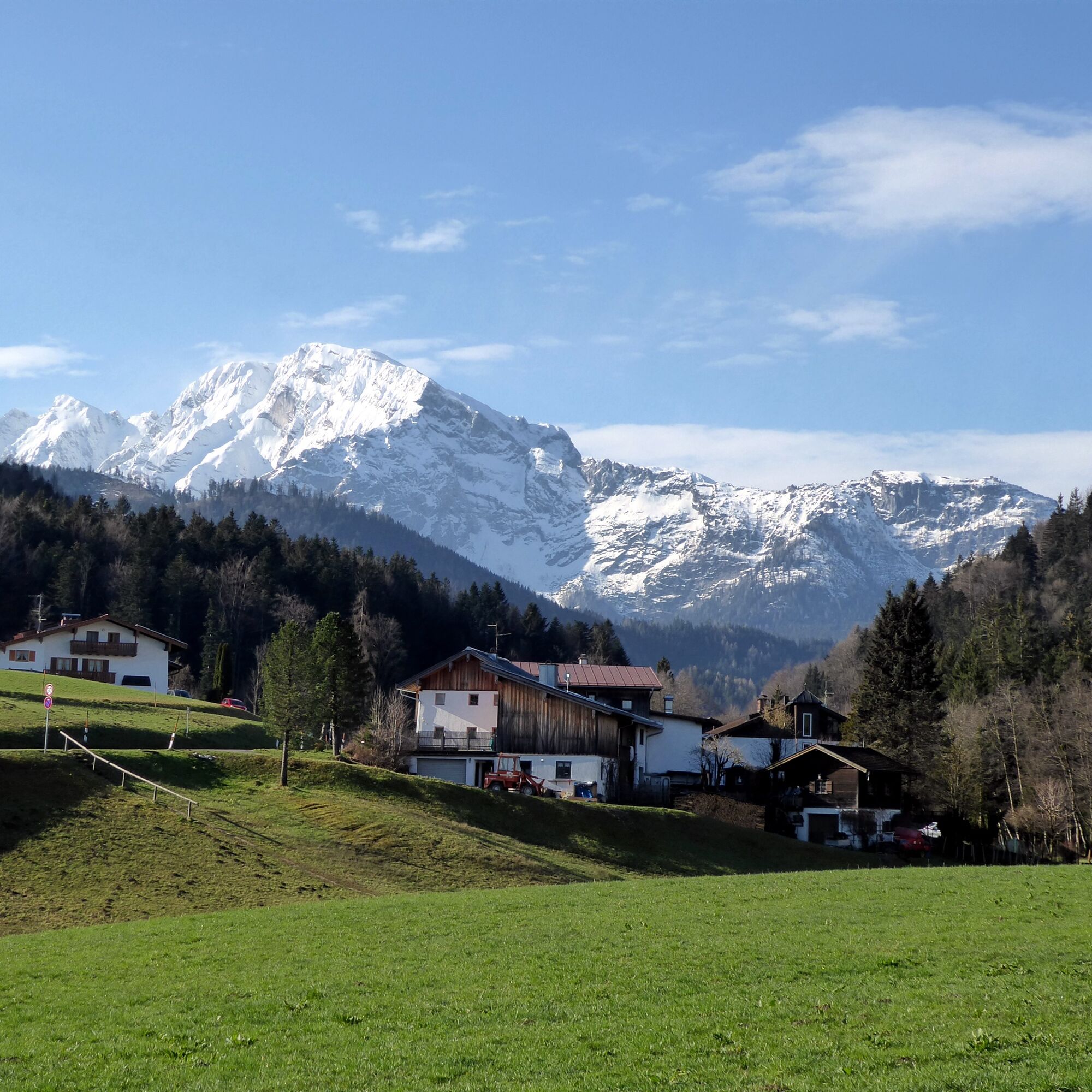
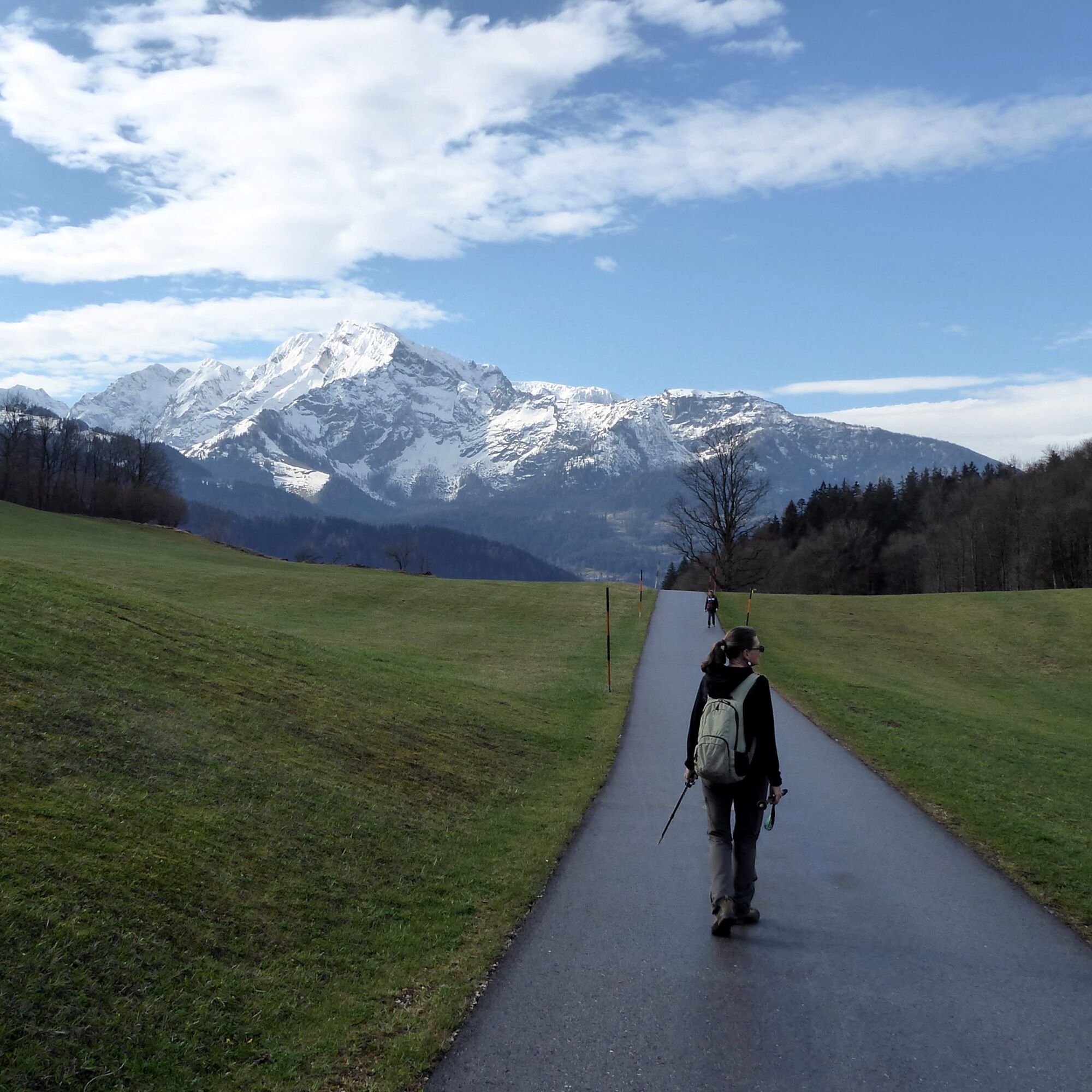
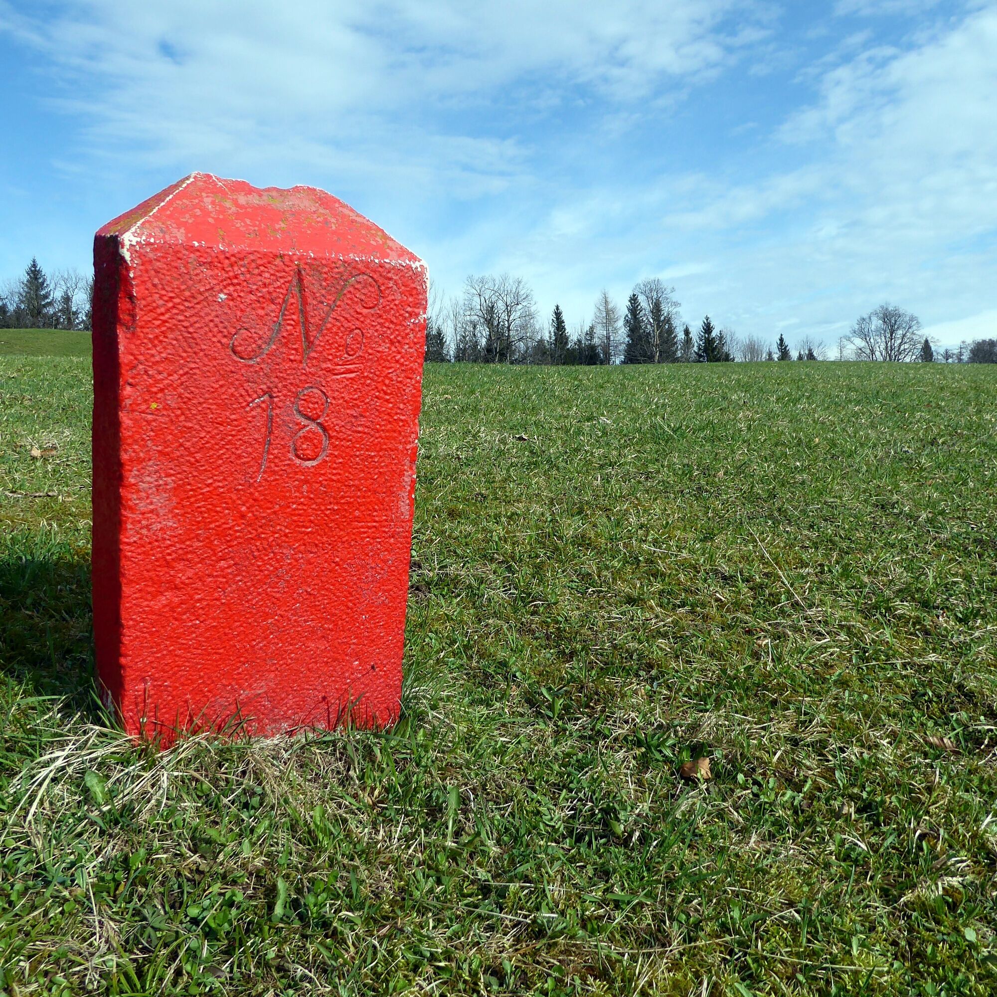
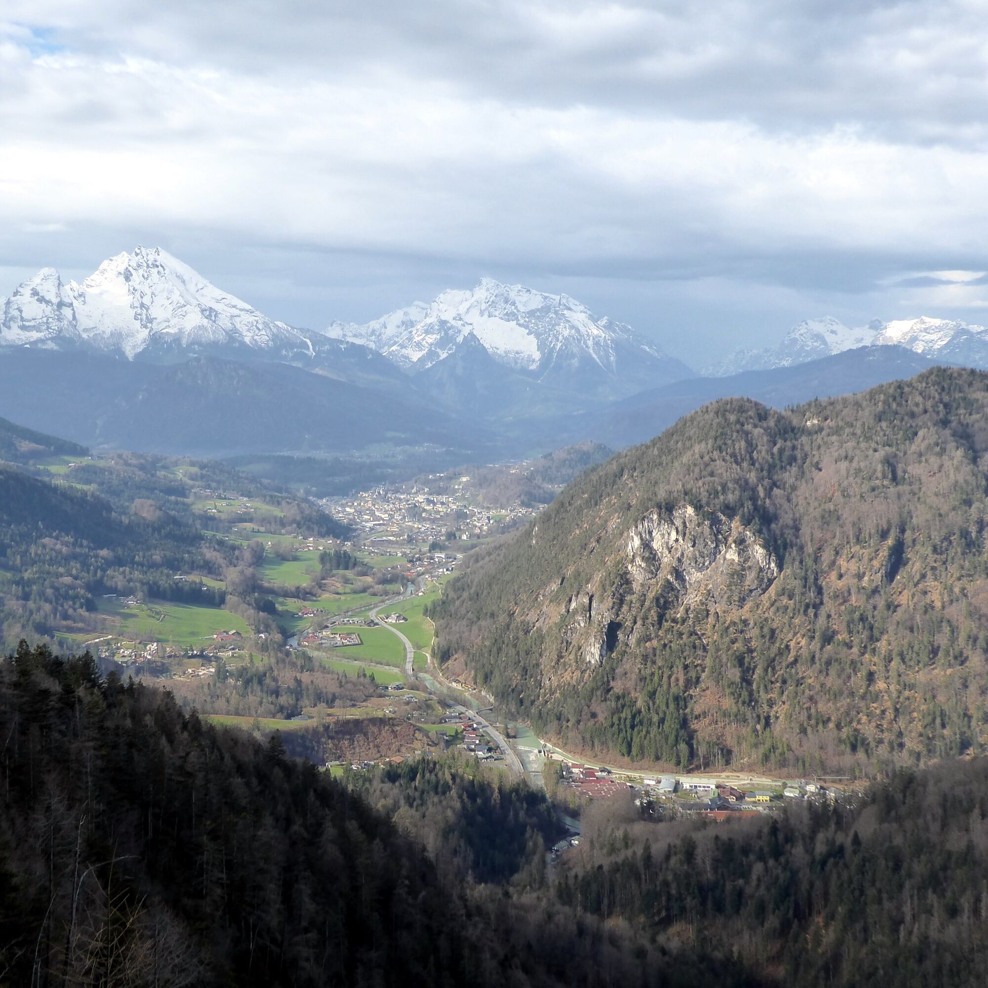
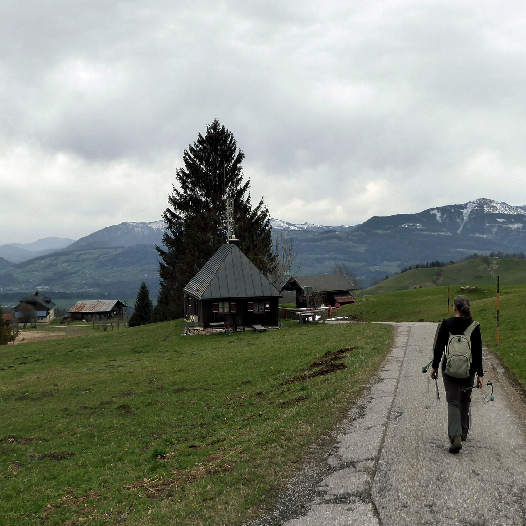

From the bus stop Bad Dürrnberg-Kranzbichlhof at the turnaround point of line 41, the route passes the Health Hotel Kranzbichlhof, crosses the border where an antique shop has moved into the former customs house. About 100 meters after the border, the marked path 31 “Lerchecker Wand” branches off to the right, crosses the hollow and then leads steeply uphill into the forest. Behind it opens up a beautiful upland, over which it goes slightly downhill to another junction (right) at a striking solitary tree. At the highest point, a short side path to Lercheckerwand branches off to the right shortly afterwards, but the descent to Oberau continues straight south. The forest path meets the driveway and follows it, turning right twice, to Oberau. In the village, the route passes the tourist office and now follows the signage “Gmerk via toboggan run” (path 8/33). About 140 meters above, the route meets the Roßfeld Höhenringstraße and follows it briefly to the left, then right into the district of Gmerk. The paved path 8 to Bad Dürrnberg crosses the border and leads steeply past the Teufenbach tunnel down to the bus stop Bad Dürrnberg Zinkenlift.
Tak
Tak
By bus 160, 170 or by train to Hallein. By bus 41 to Bad Dürrnberg Kranzbichlhof. Return by bus 41 from Bad Dürrnberg Zinkenlifte.
Timetable information and download: Online at www.salzburg-verkehr.at or on your smartphone via the free Salzburg Verkehr app for Android and iOS.
www.salzwelten.at; www.berchtesgaden.de/wandern; https://duerrnberg.at/sommer/wandern/;
Mag. Christian Heugl
5400 Hallein
Image credit: Christian Heugl
Sights worth seeing in Bad Dürrnberg: Celtic Village, Salt Worlds, and Pilgrimage Church.

 Uzyskaj wgląd
Zawsze na żywo z ponad 9 500 kamer internetowych. bergfex Jako użytkownik Pro, możesz teraz zobaczyć odpowiednie kamery internetowe dla wielu wycieczek w aplikacji wycieczki od. Pozwala to na bezpośredni podgląd aktualnych warunków.
Uzyskaj wgląd
Zawsze na żywo z ponad 9 500 kamer internetowych. bergfex Jako użytkownik Pro, możesz teraz zobaczyć odpowiednie kamery internetowe dla wielu wycieczek w aplikacji wycieczki od. Pozwala to na bezpośredni podgląd aktualnych warunków.
Popularne wycieczki w okolicy
-
4,7
Schwarzer Berg / Golling
średniWędrówka 2,54 km -
4,6
Kneifelspitze
Wędrówka 2,53 km -
4,6
Grünstein
światłoWędrówka 2,57 km -
4,0
Malerwinkel Rundwanderweg
światłoWędrówka 3,60 km -
3,9
Durch die Almbachklamm nach Ettenberg
Wędrówka 7,54 km -
4,8
Great and Small Barmstein, the landmarks of Hallein
ciężkiWędrówka 6,58 km -
4,2
Untersberg, Toni-Lenz-Hütte
Wędrówka 4,86 km -
3,9
Rundwanderweg zur Steinernen Agnes
Wędrówka 9 km -
4,9
von Schönau am Königssee zum Watzmannhaus und zurück
średniWędrówka 17,1 km -
4,4
Hike to the Kleiner Barmstein via the Thürndl ruin
średniWędrówka 4,20 km
Wędrówki i tropienie


Nie przegap ofert i inspiracji na następne wakacje
Twój adres e-mail została dodana do listy mailingowej.





