







Staffkogel

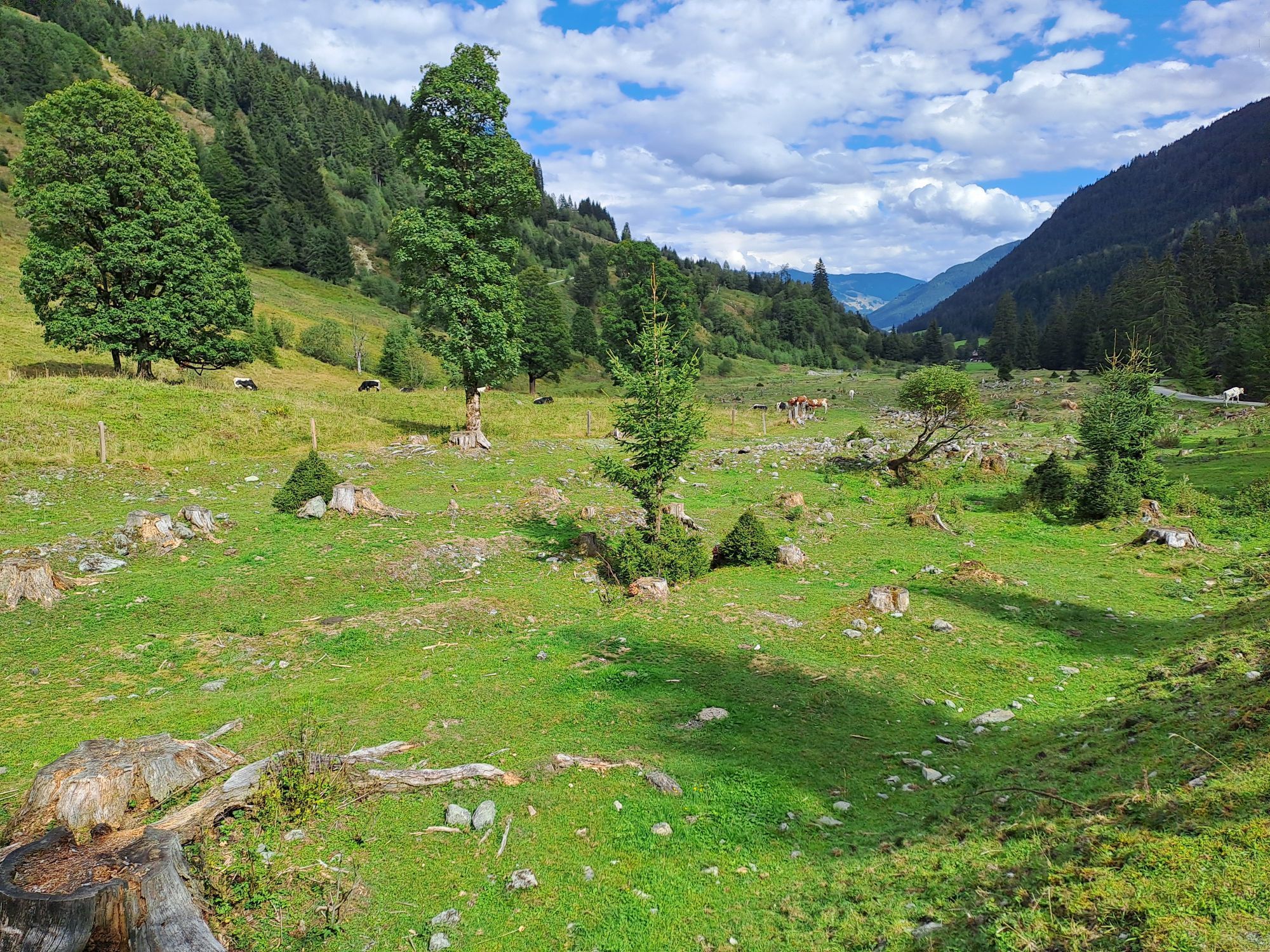
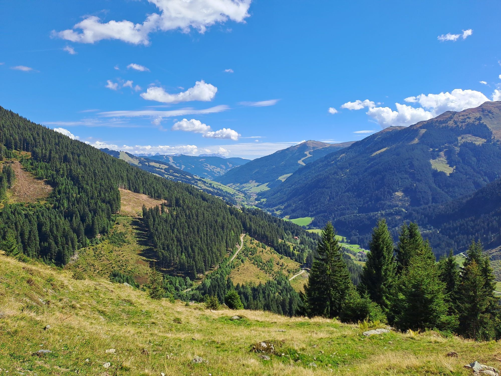
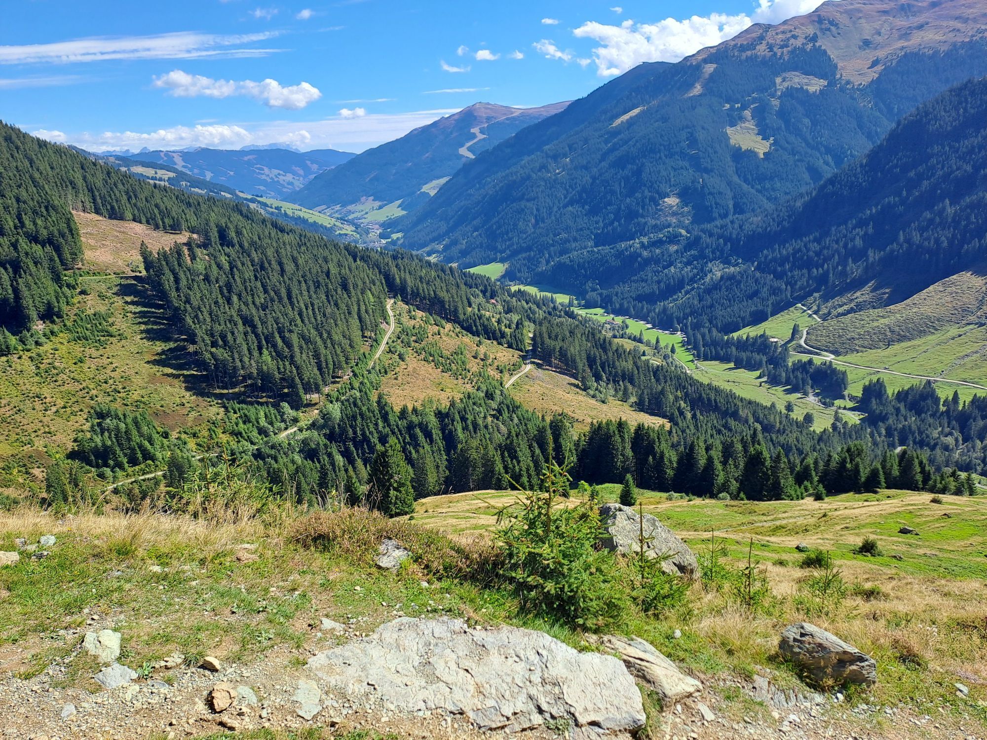
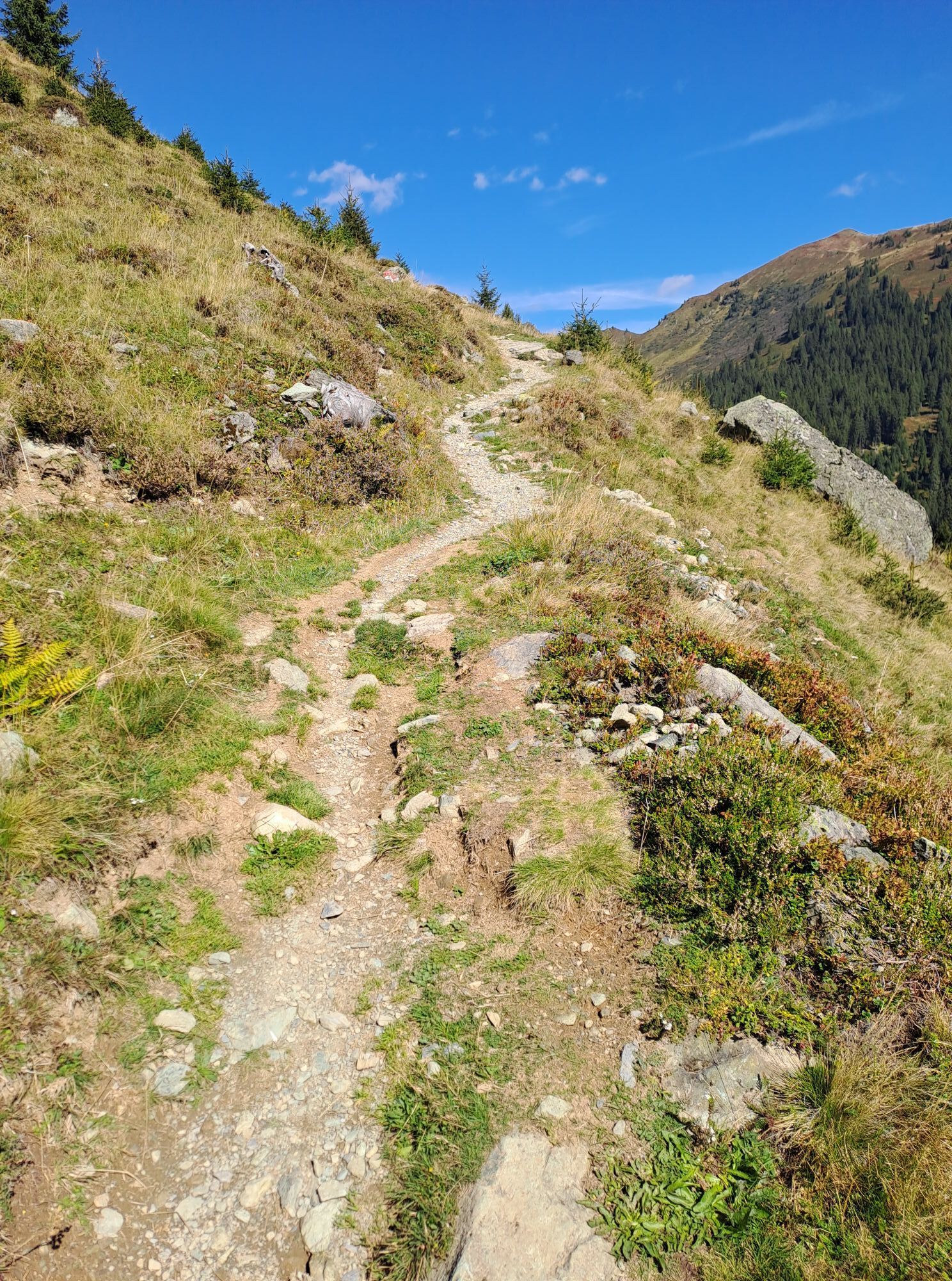
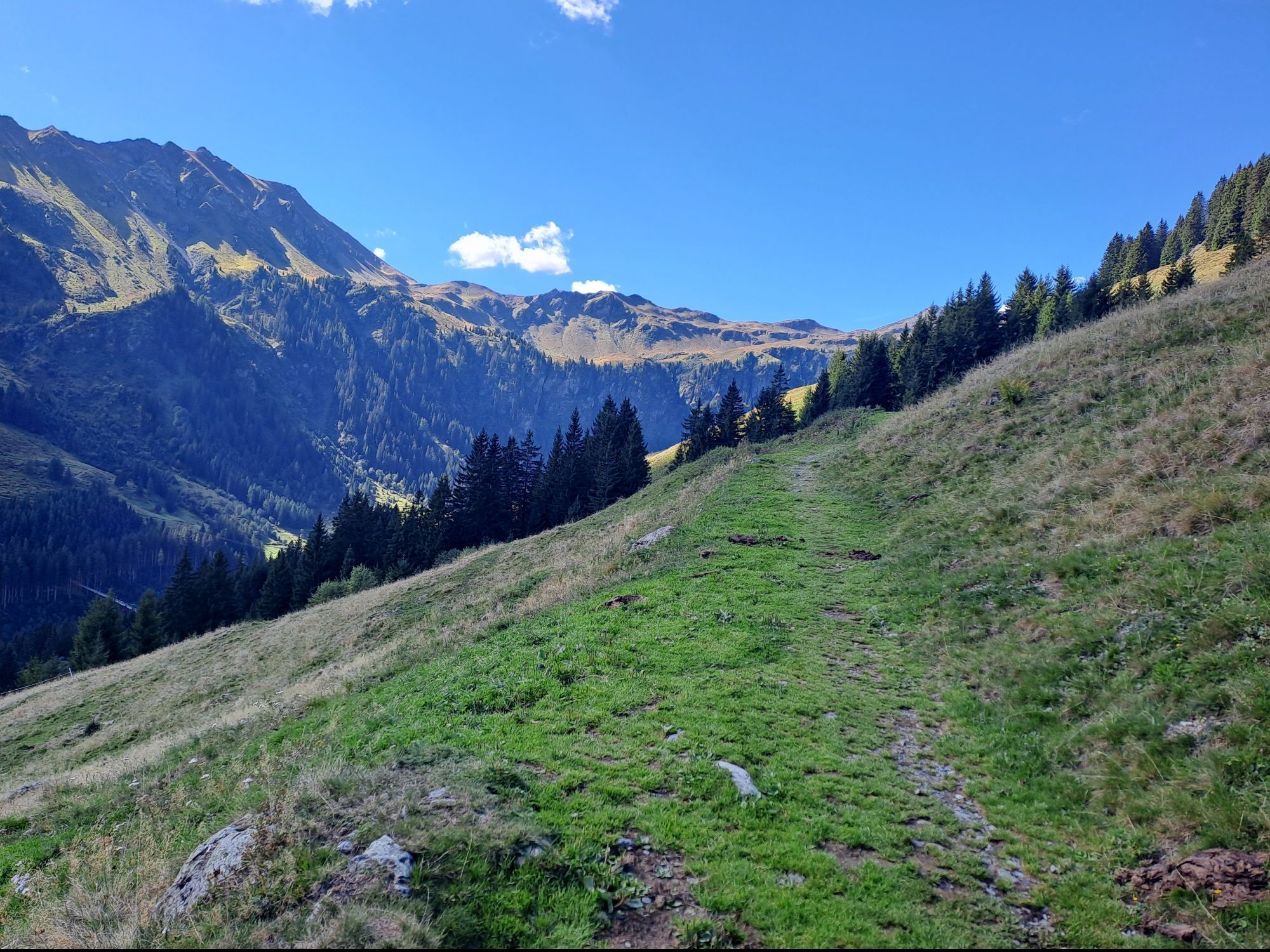
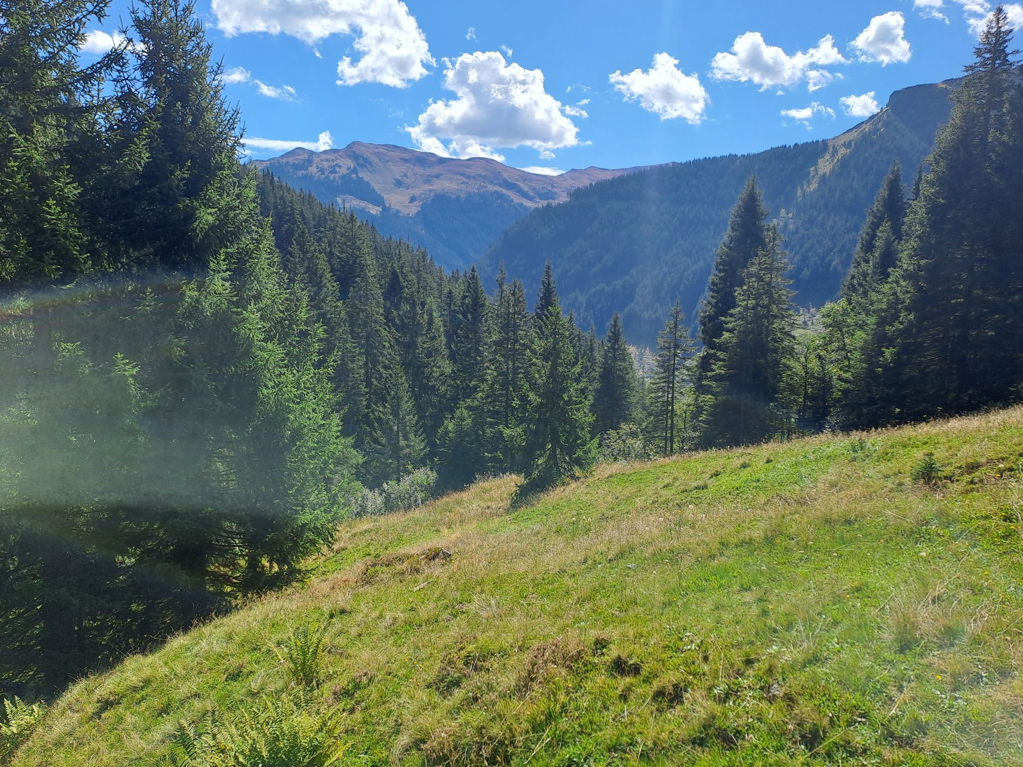
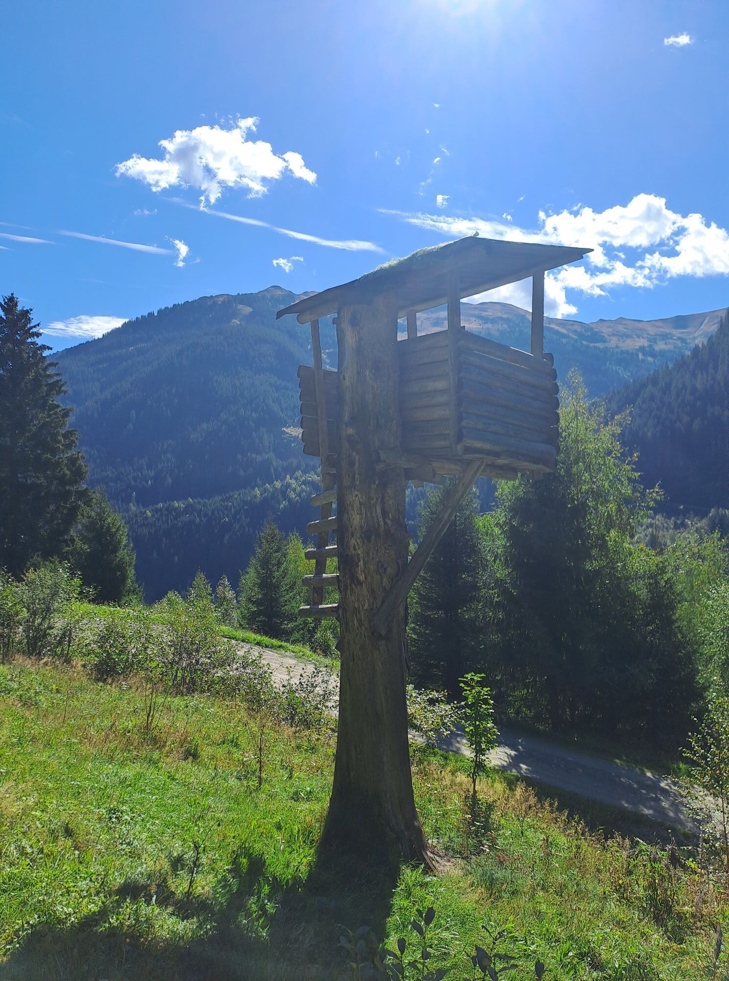
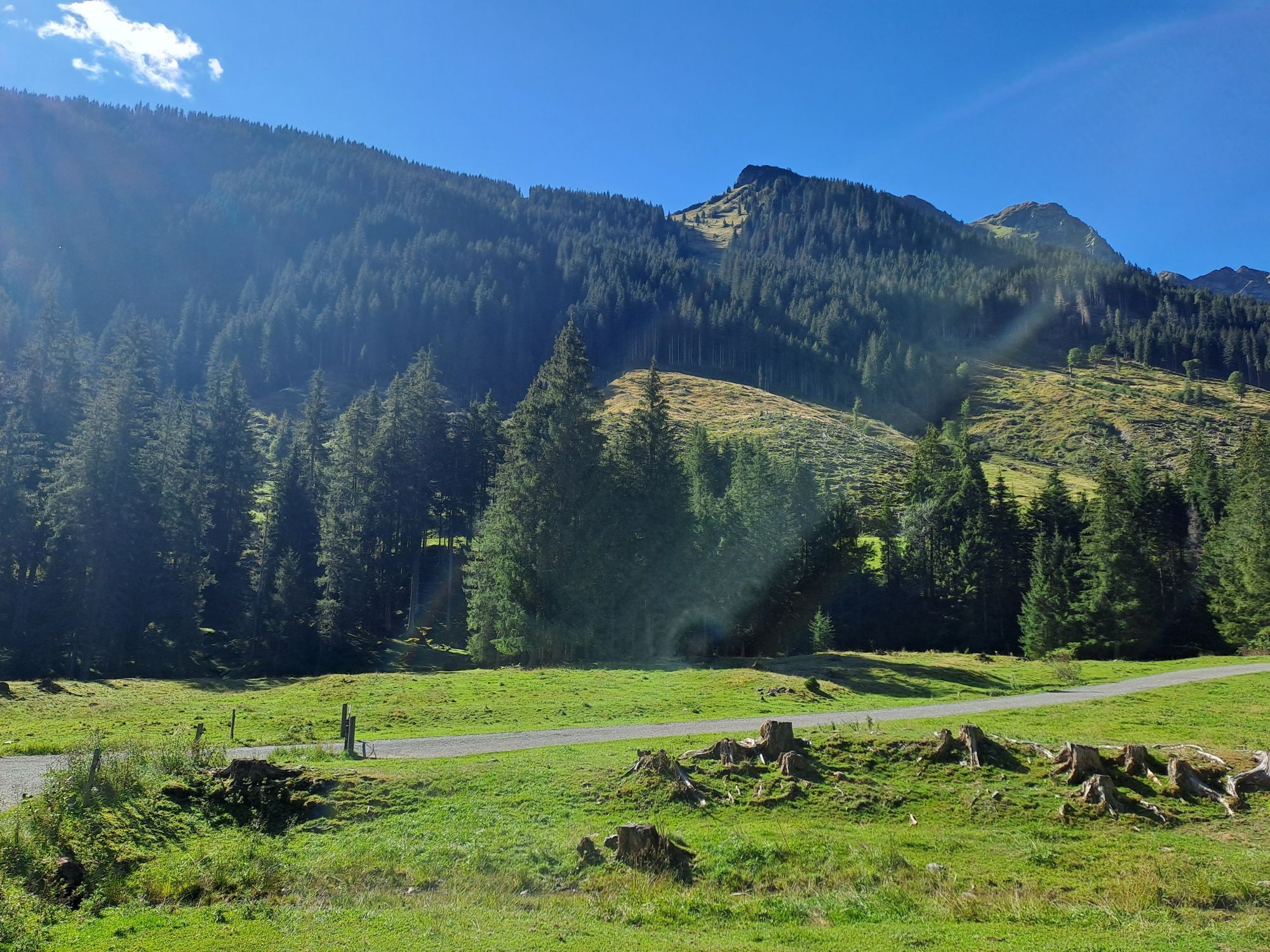
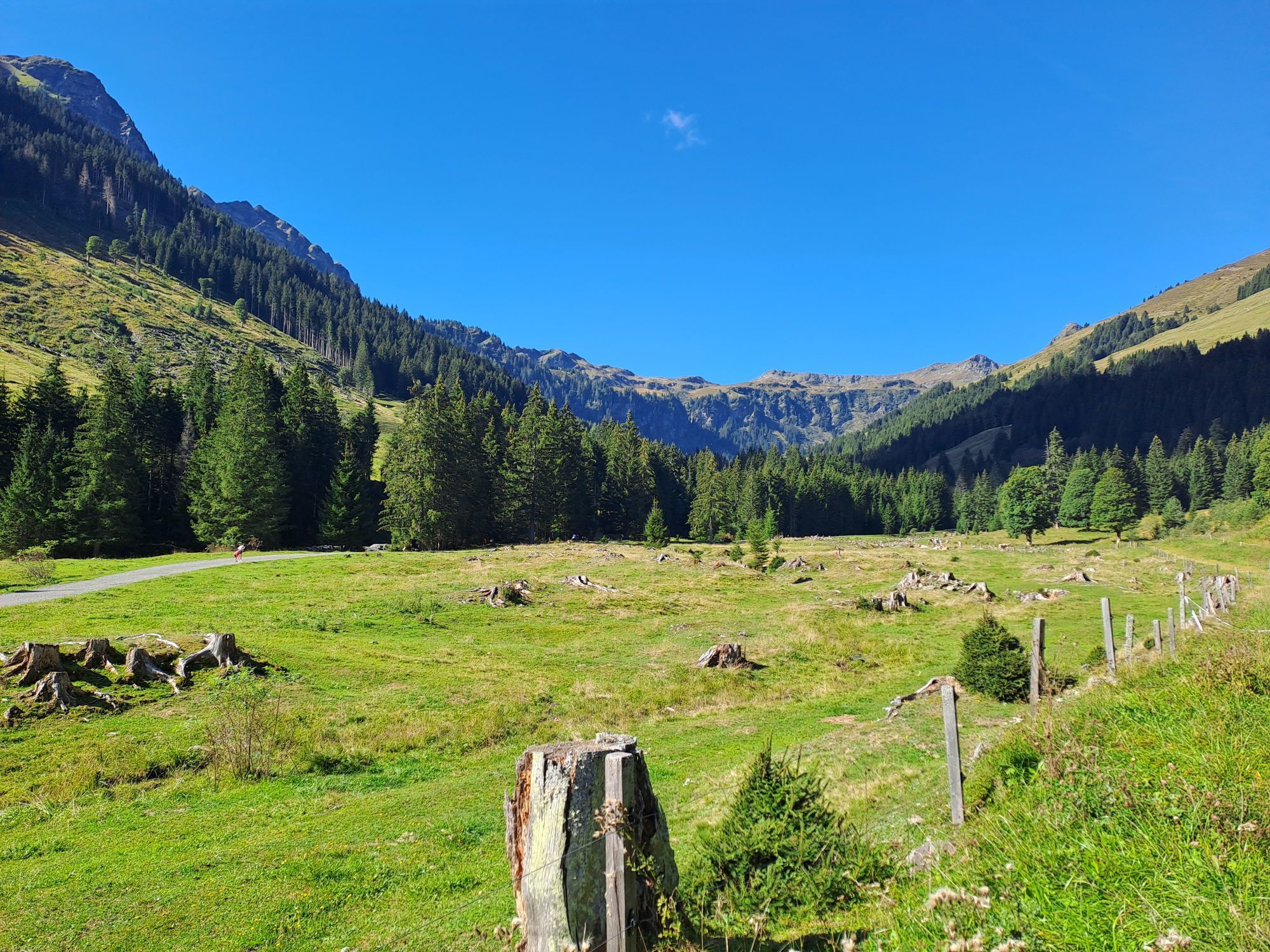
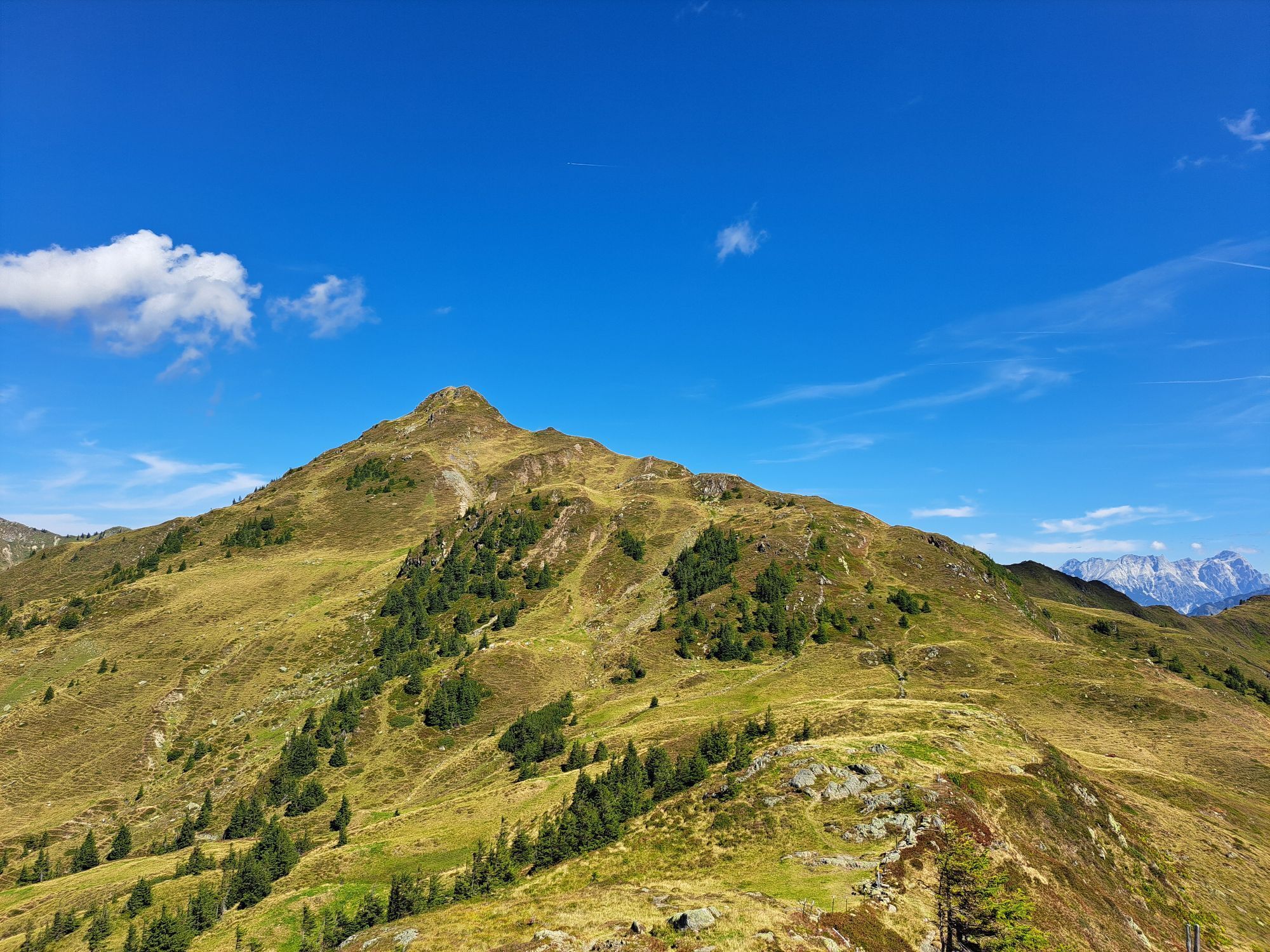
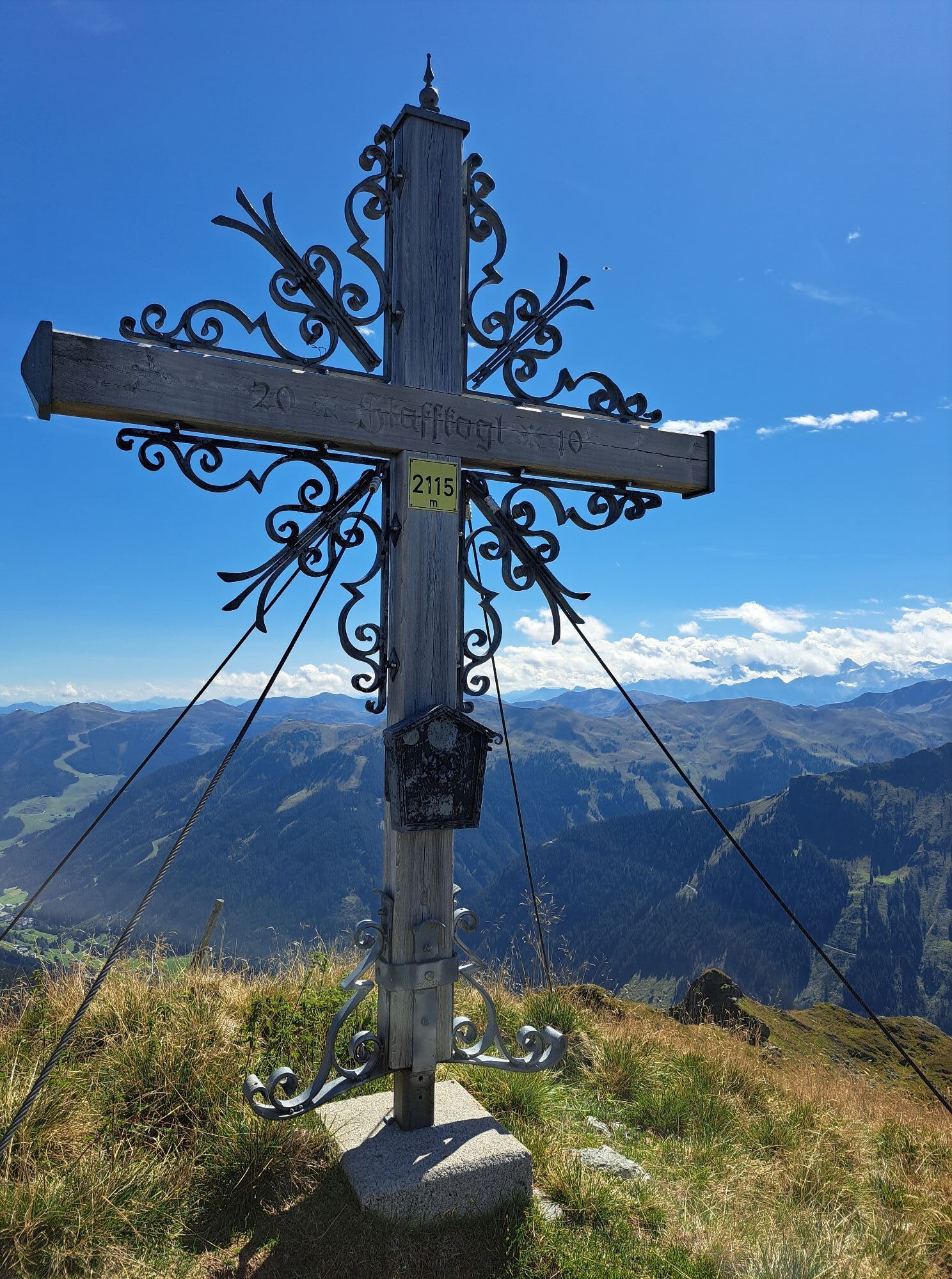
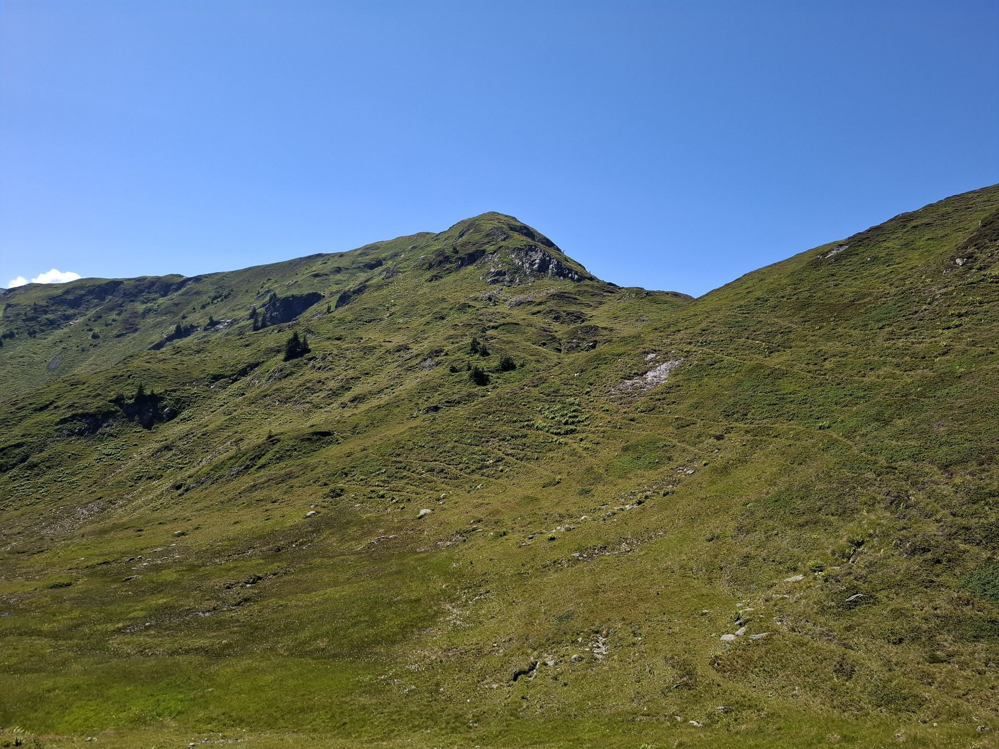
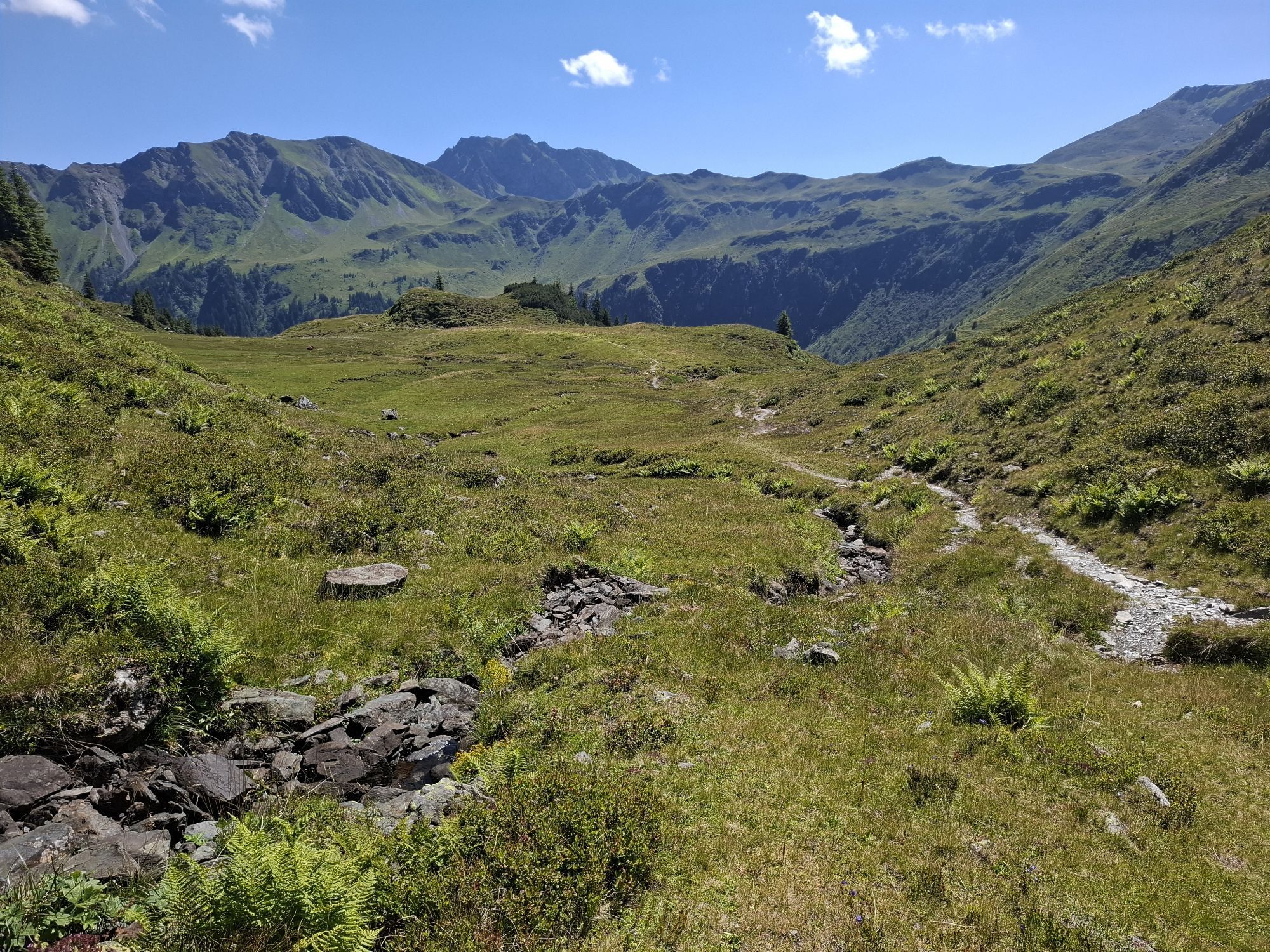
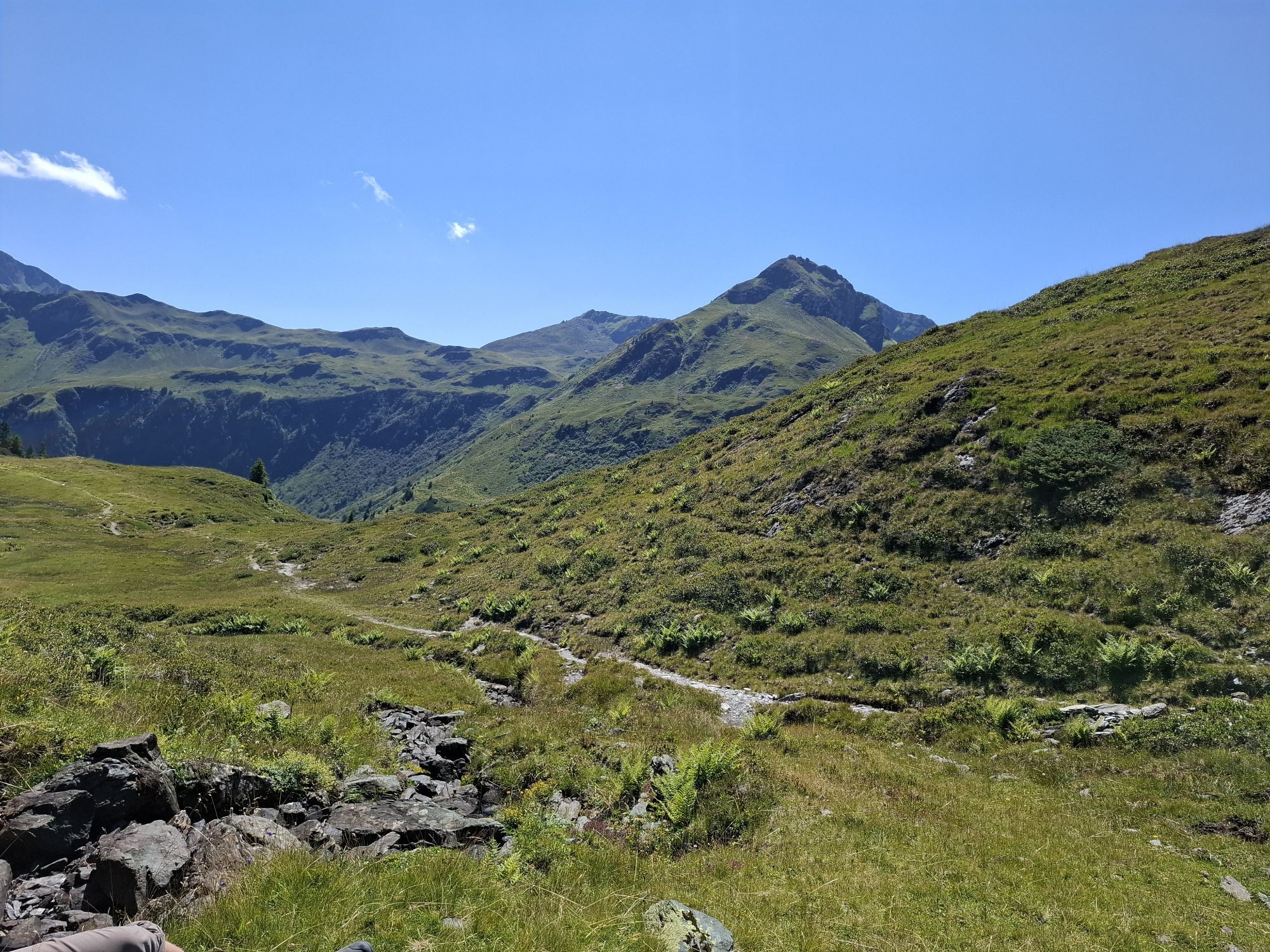
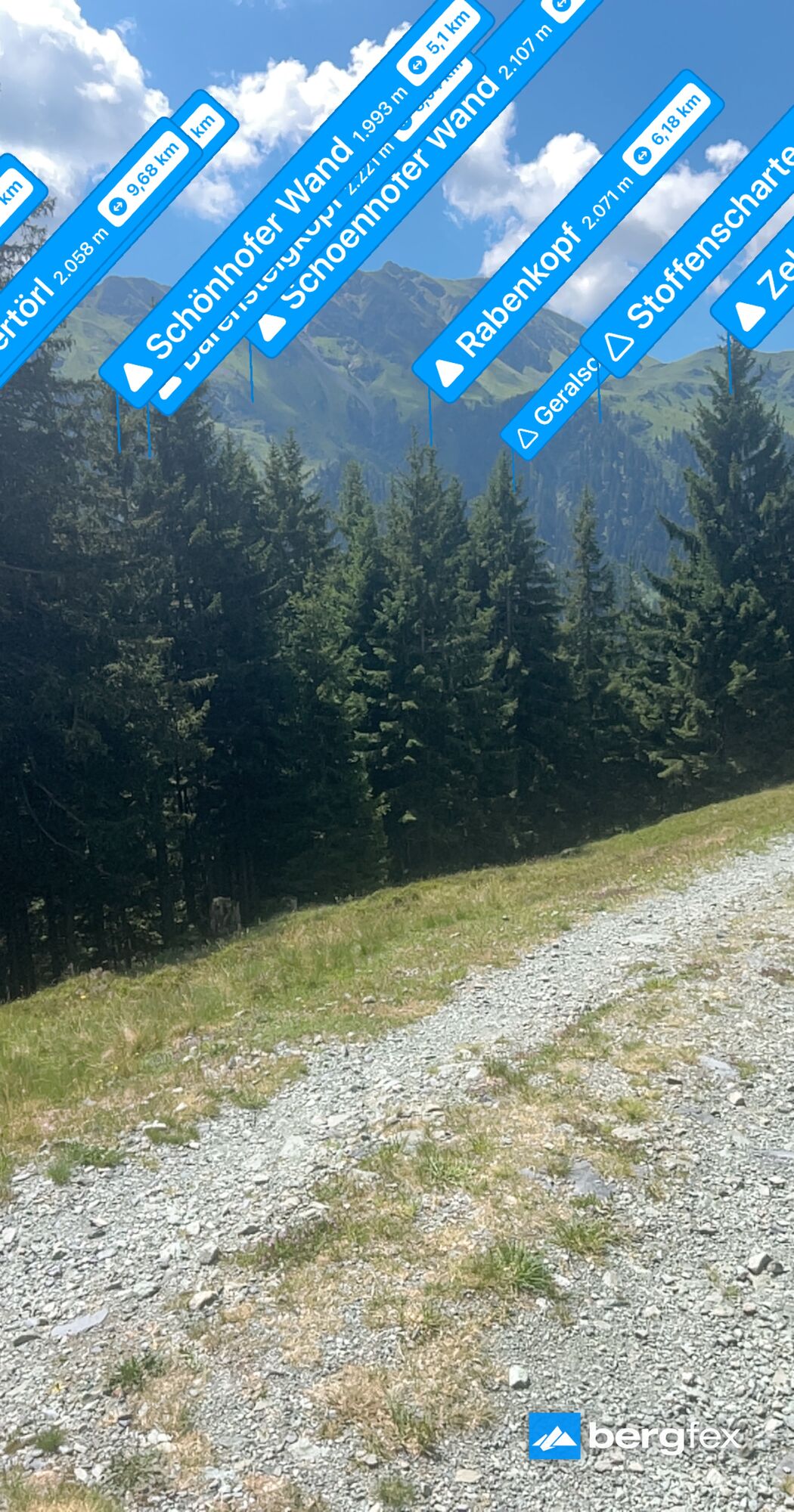
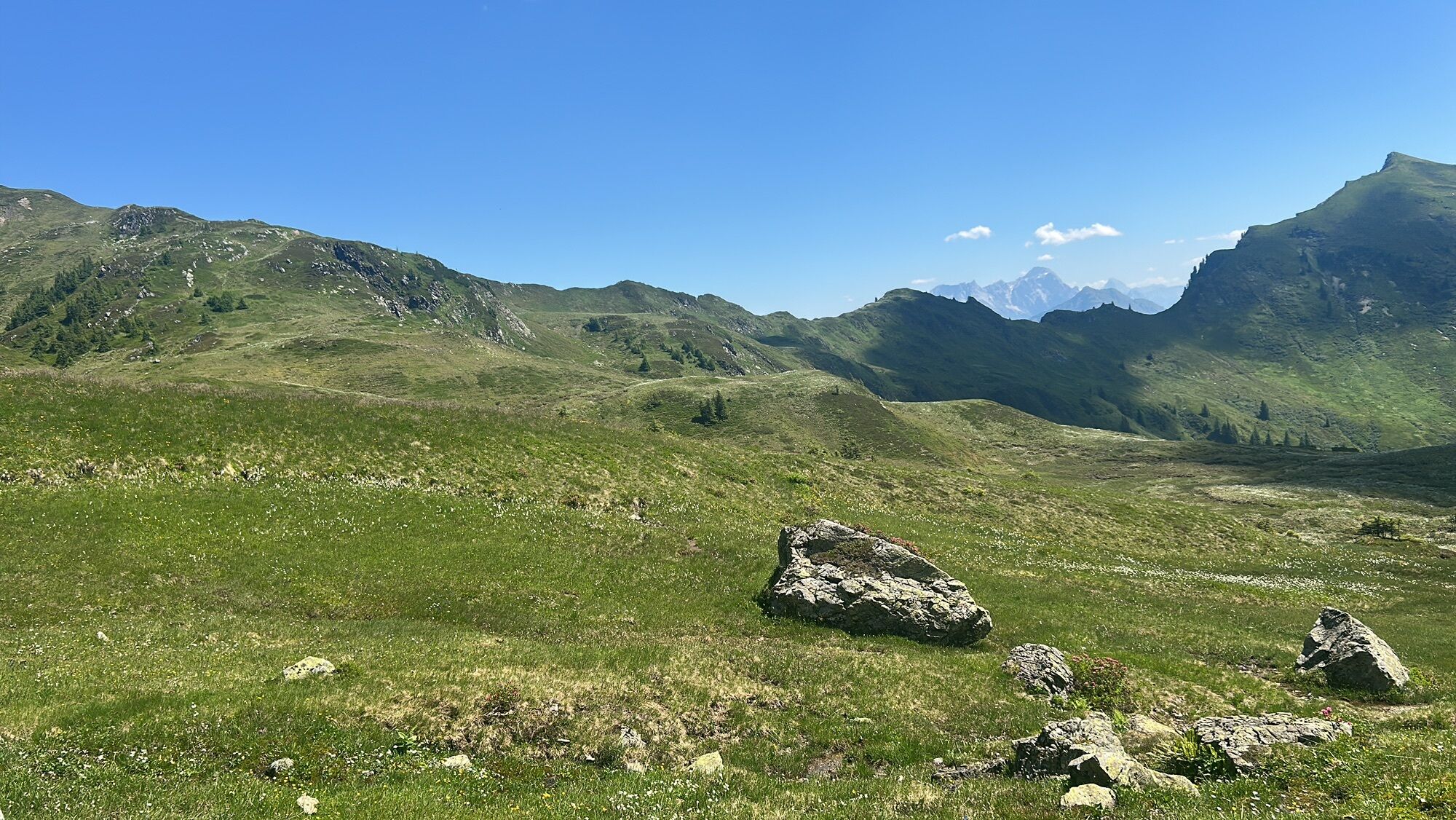
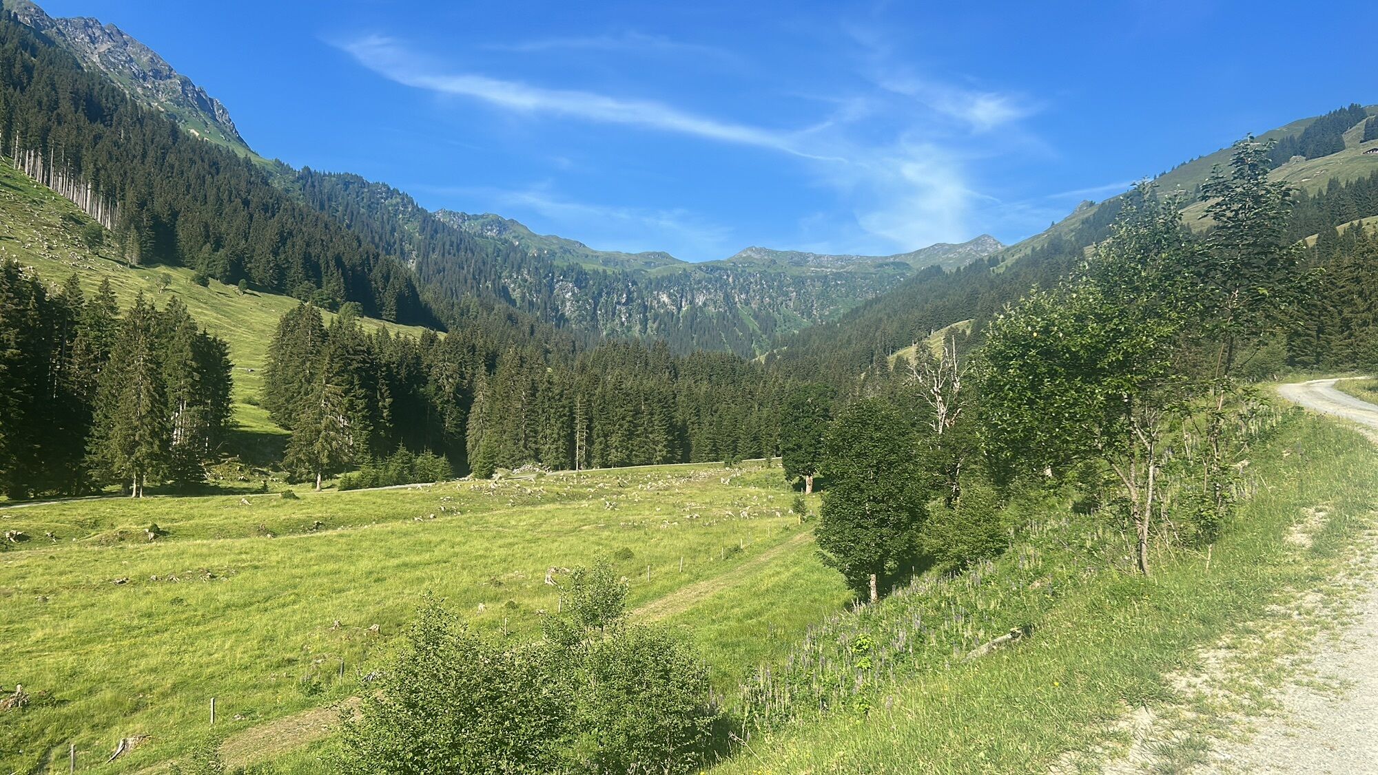
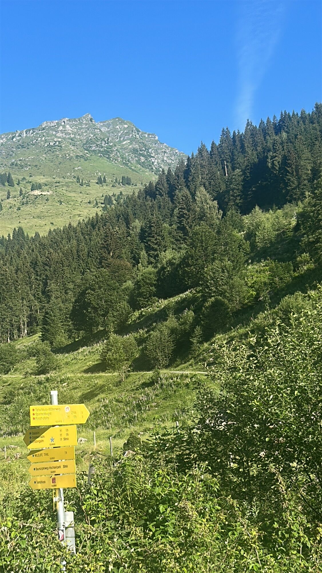
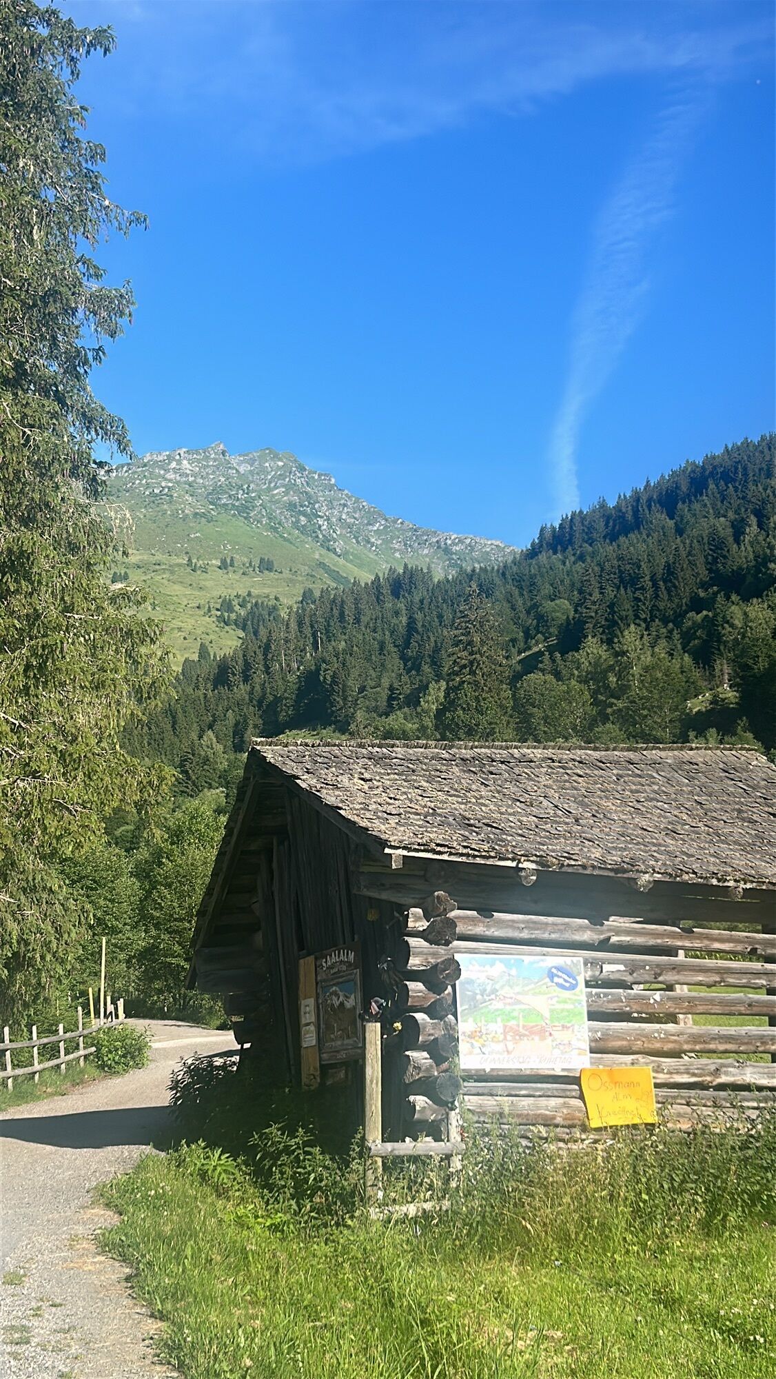
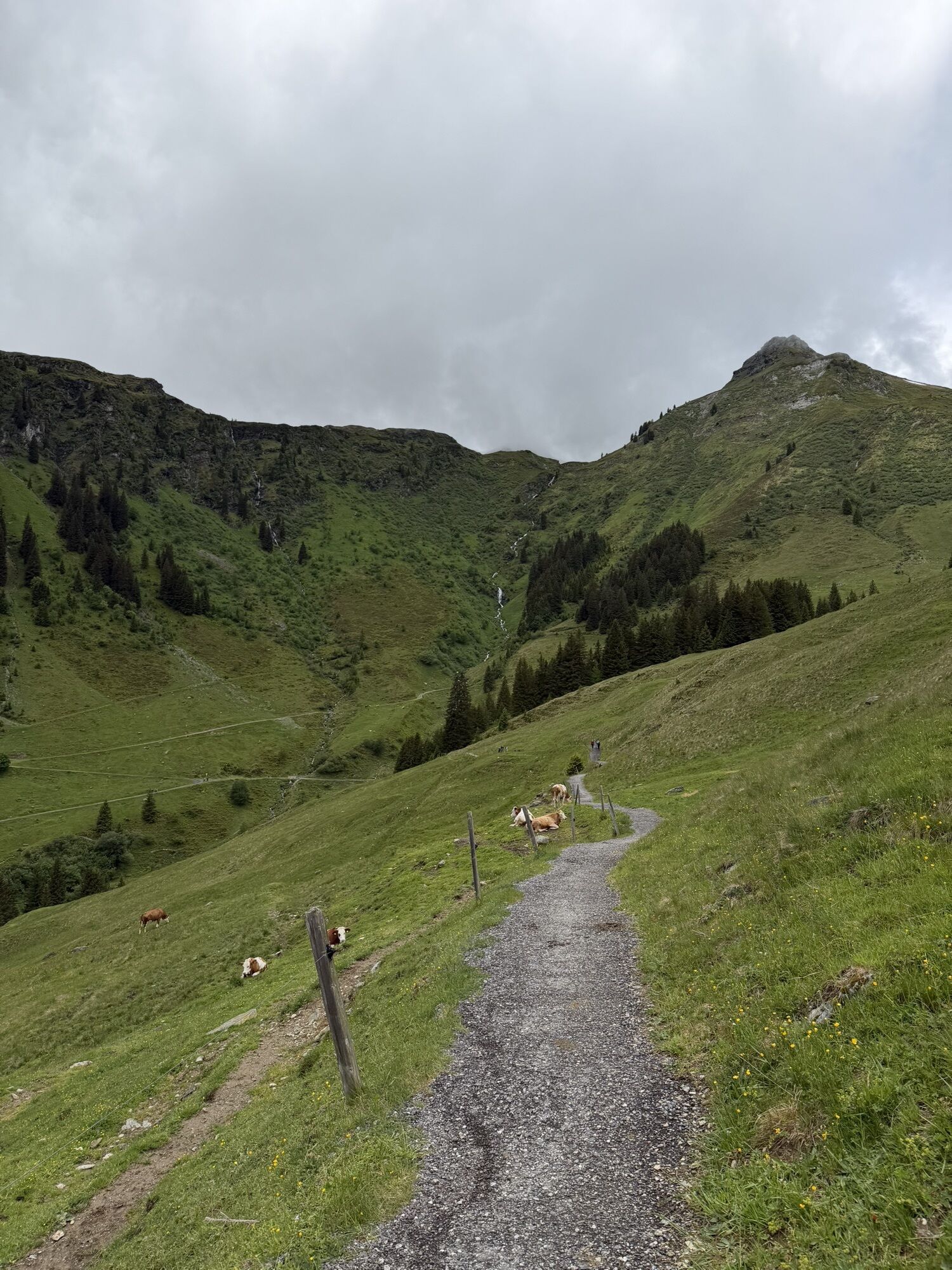
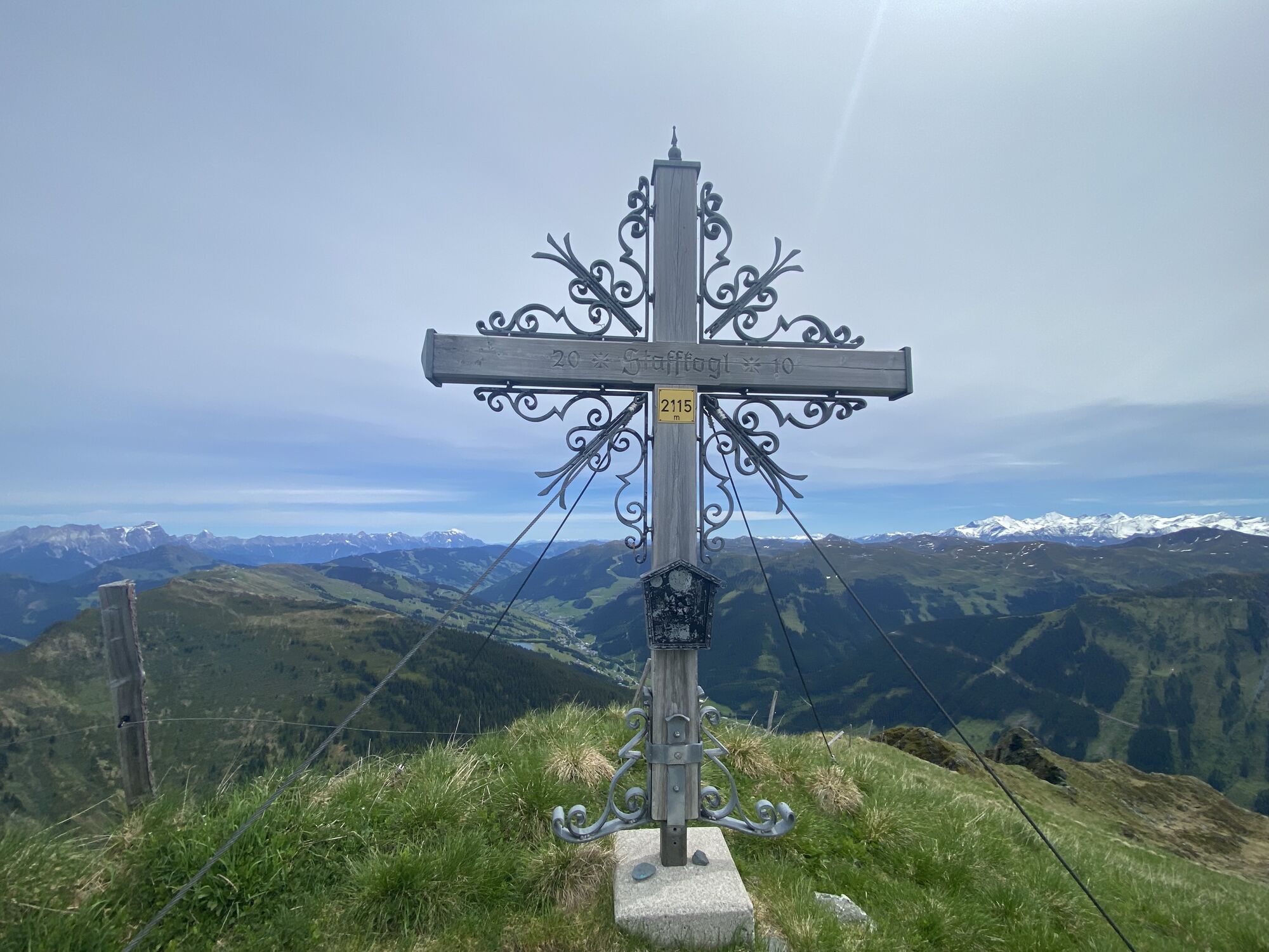
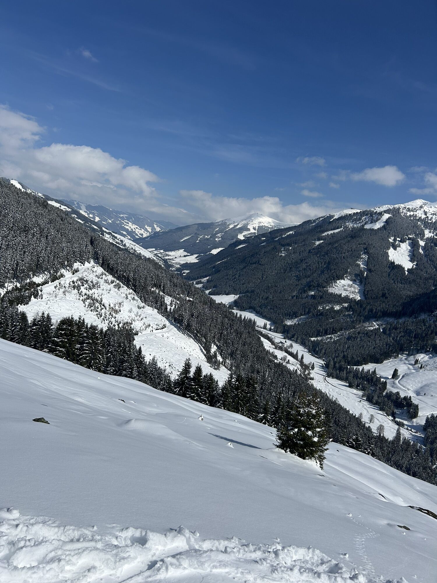
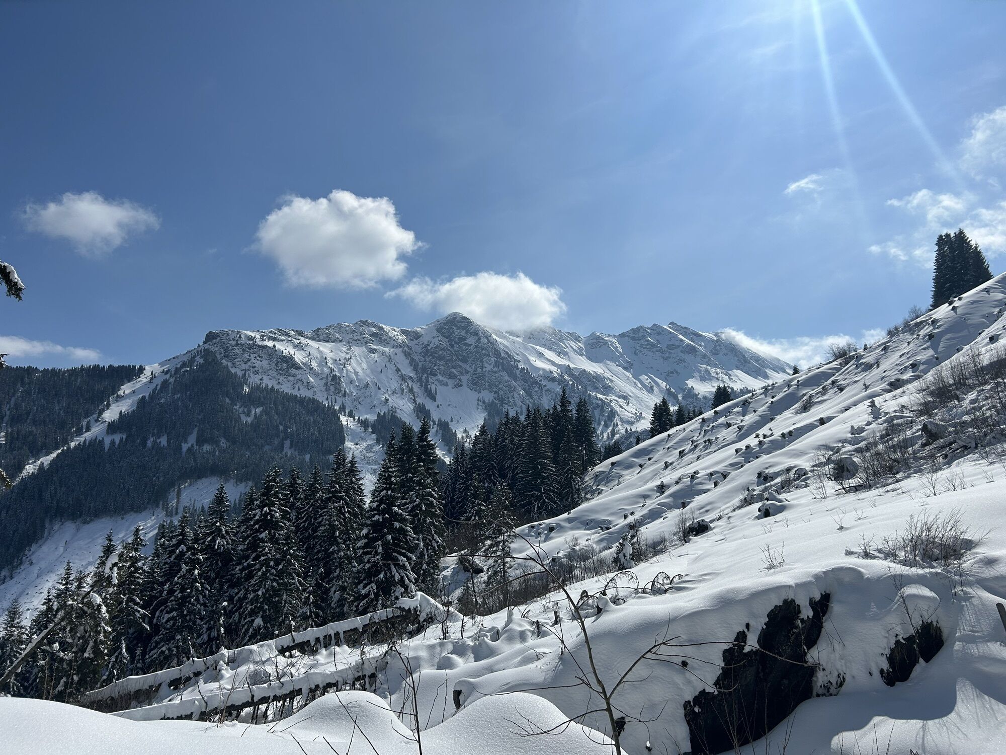
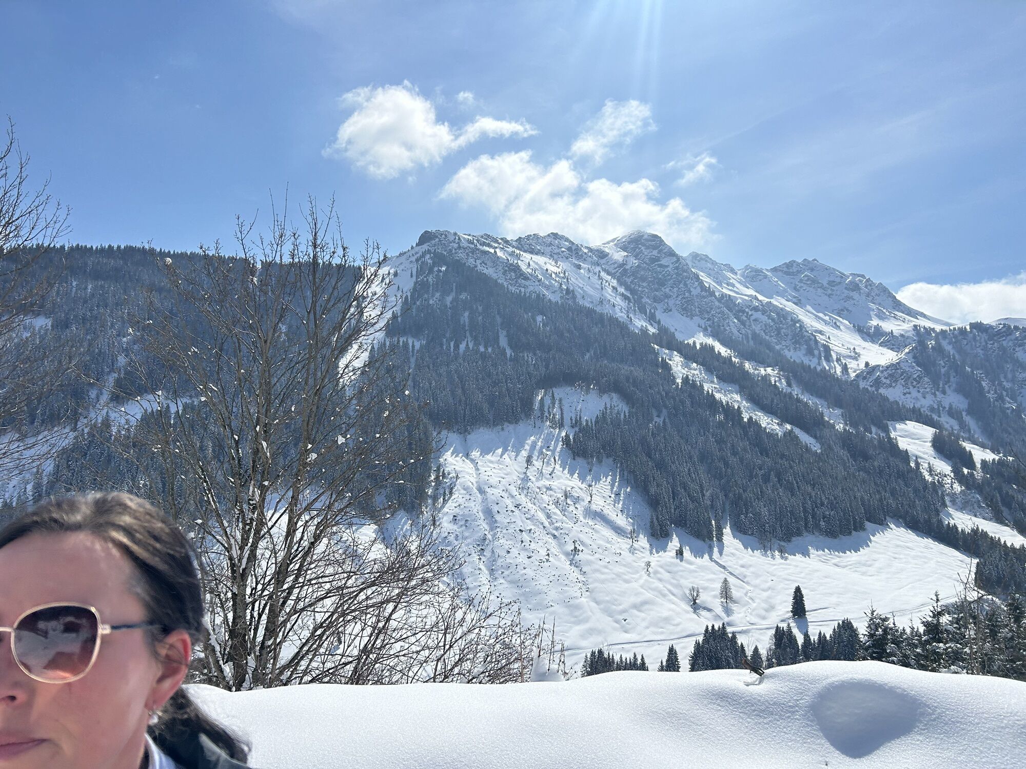
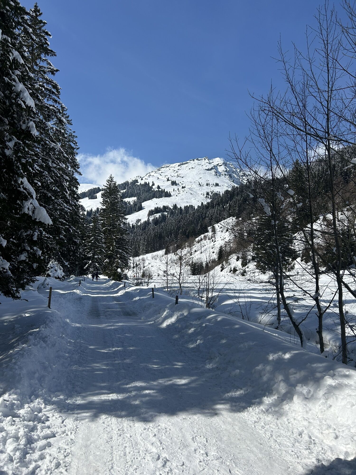
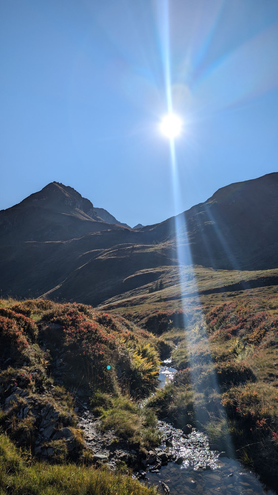

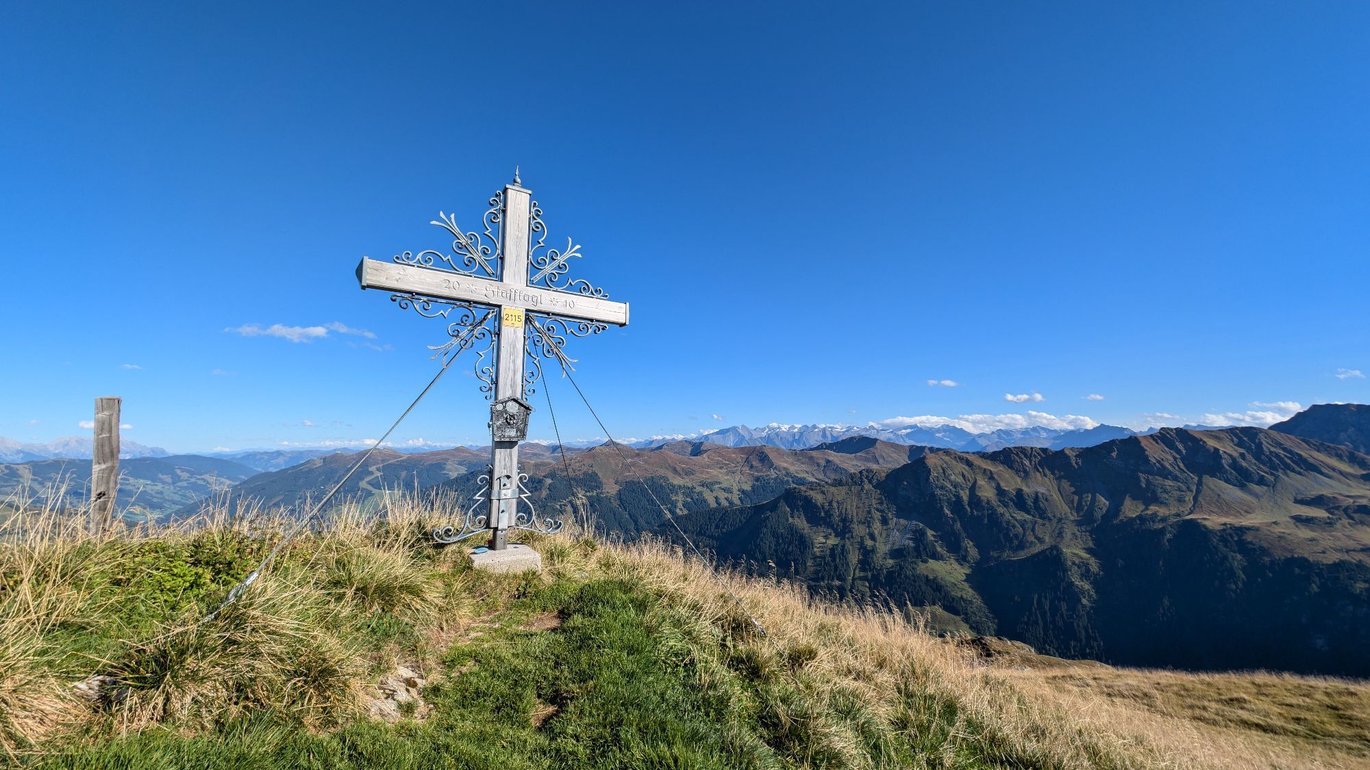
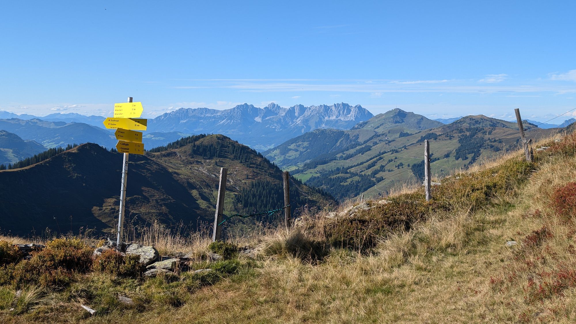
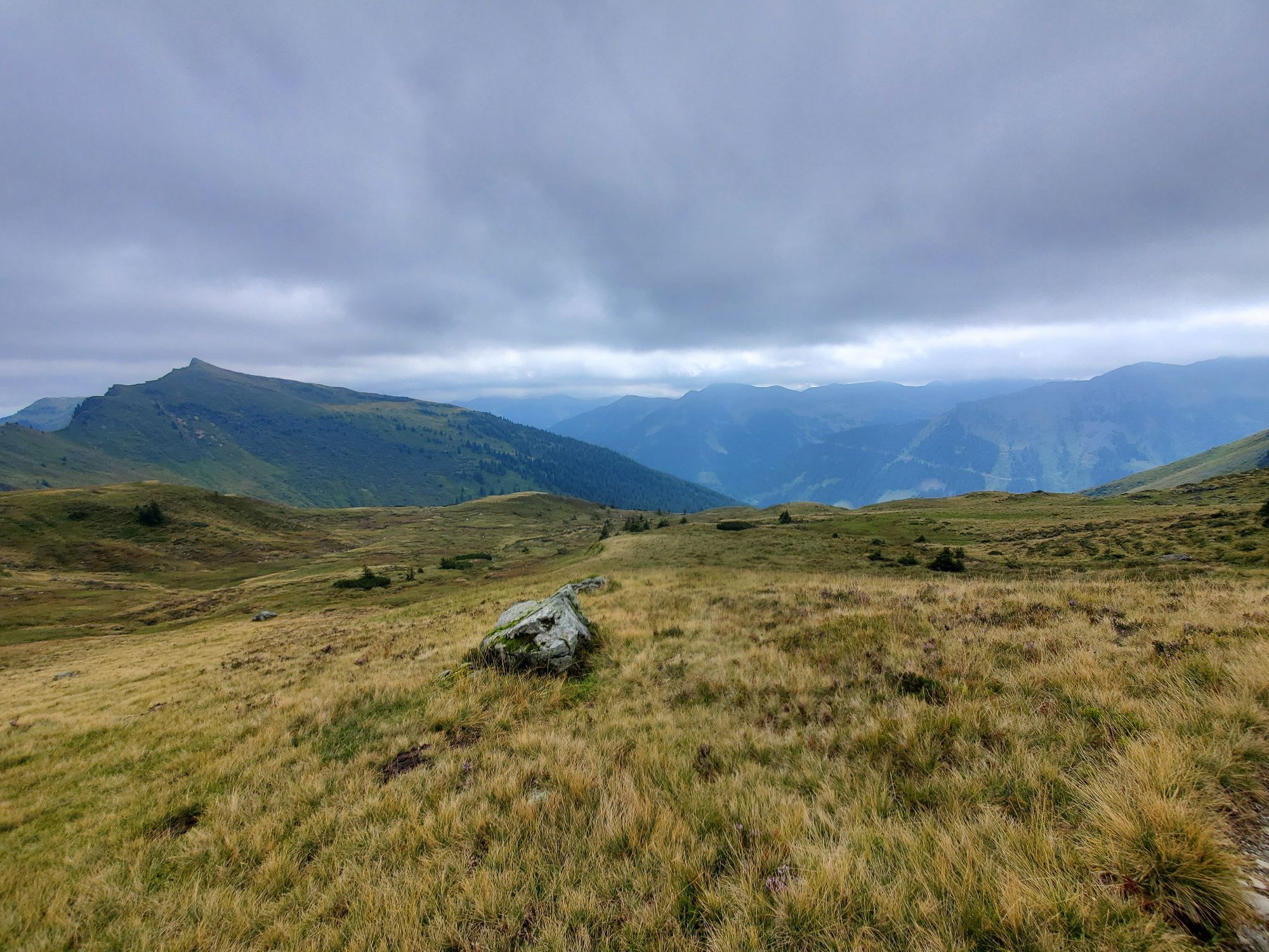
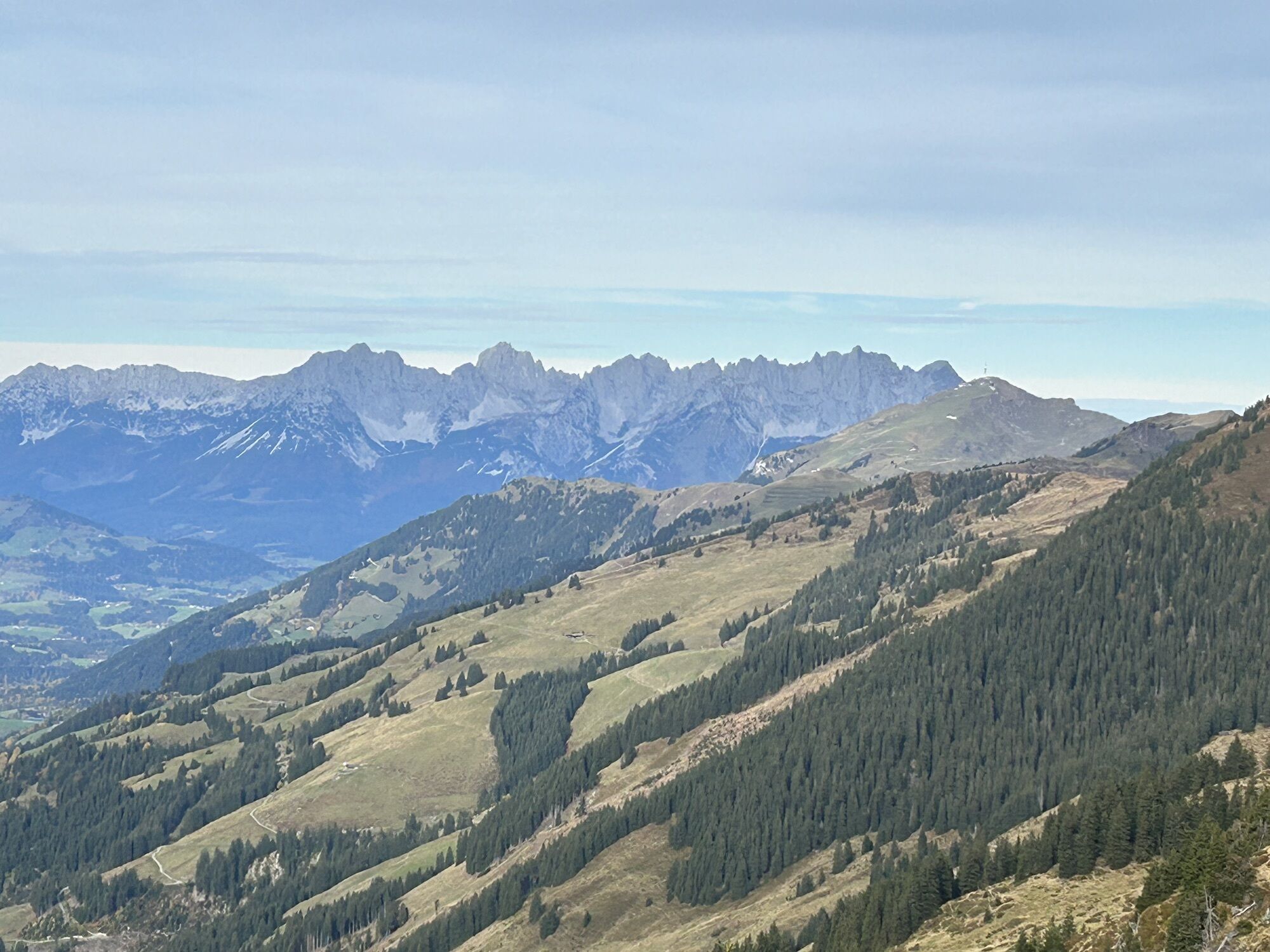
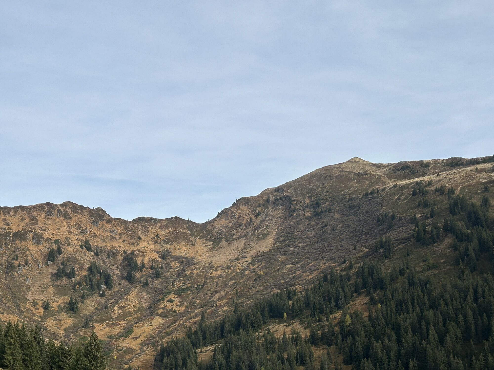

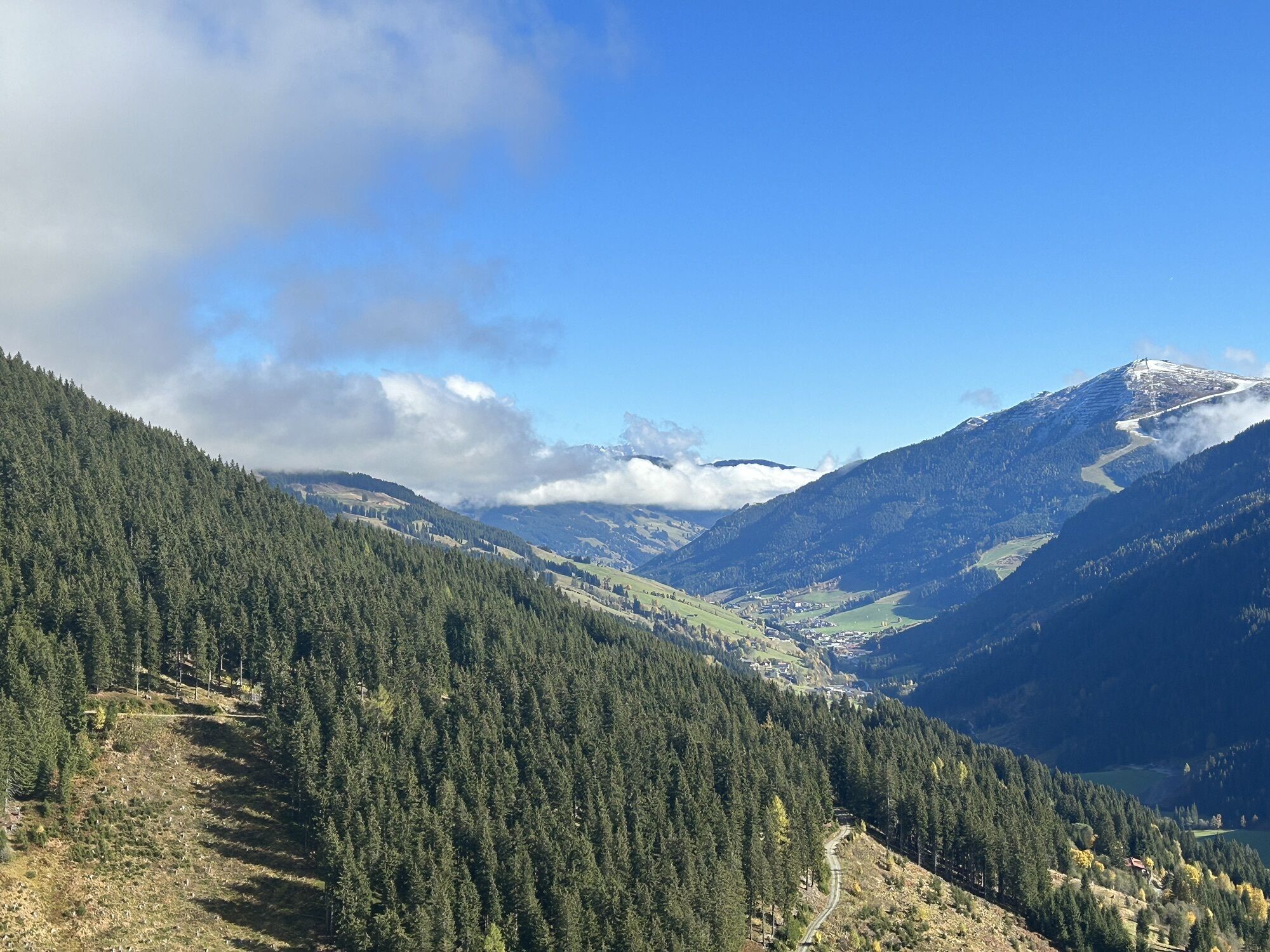


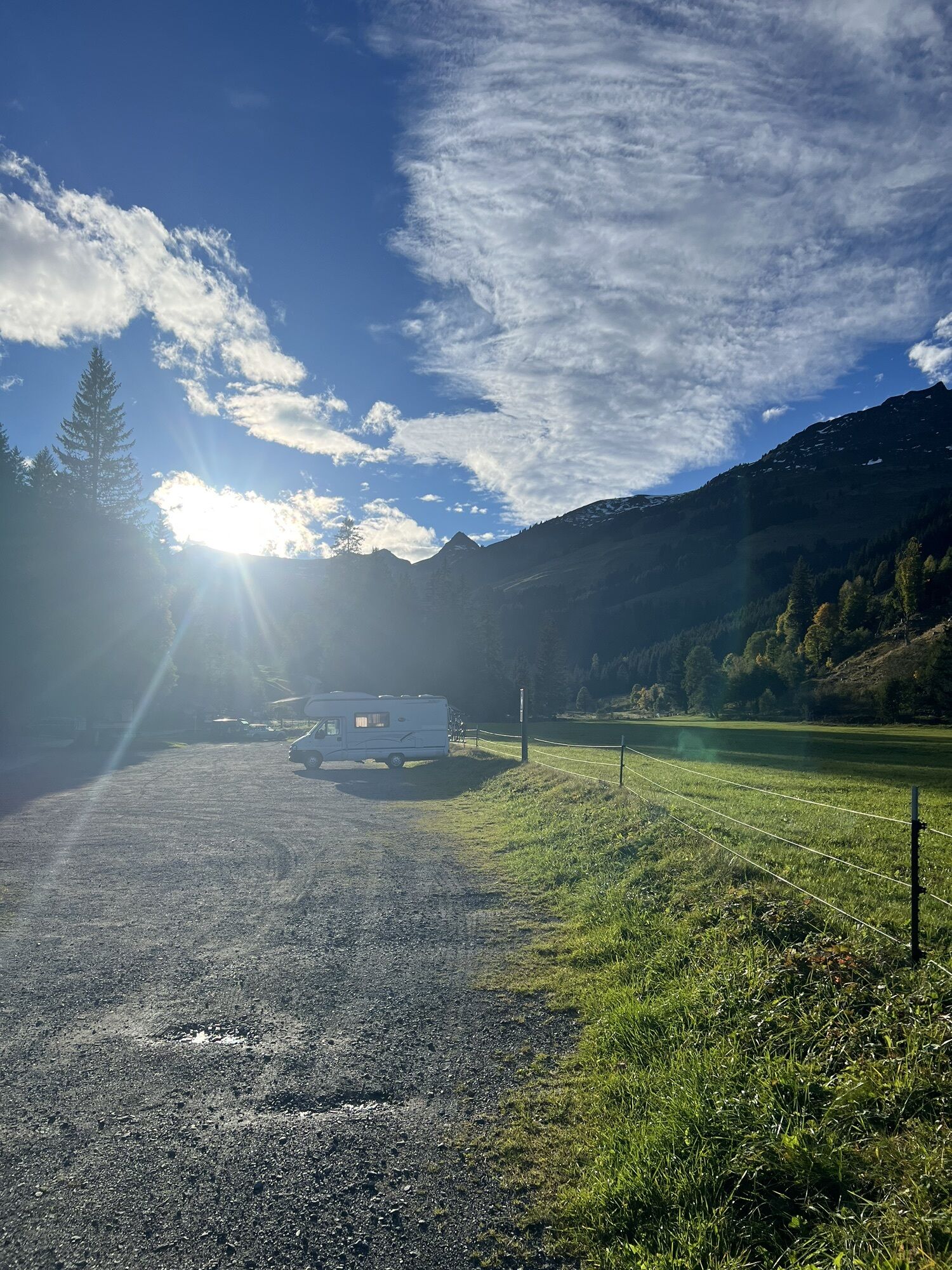
The ascent starts from the head of the Hinterglemmer Valley on the sunny side, heading towards Henlabjoch, and continues to the summit of the Staffkogel, which offers a magnificent panoramic view and a...
Did you know? Saalbach Hinterglemm has been awarded the ‘Hiking Seal of Quality’ by the organisation ‘Austria’s Hiking Villages’. This certificate requires a destination to meet strict quality standards in its hiking facilities and ensures that you’ll have a great time in the mountains.

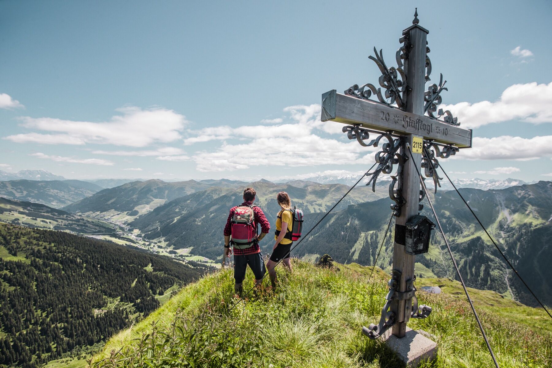
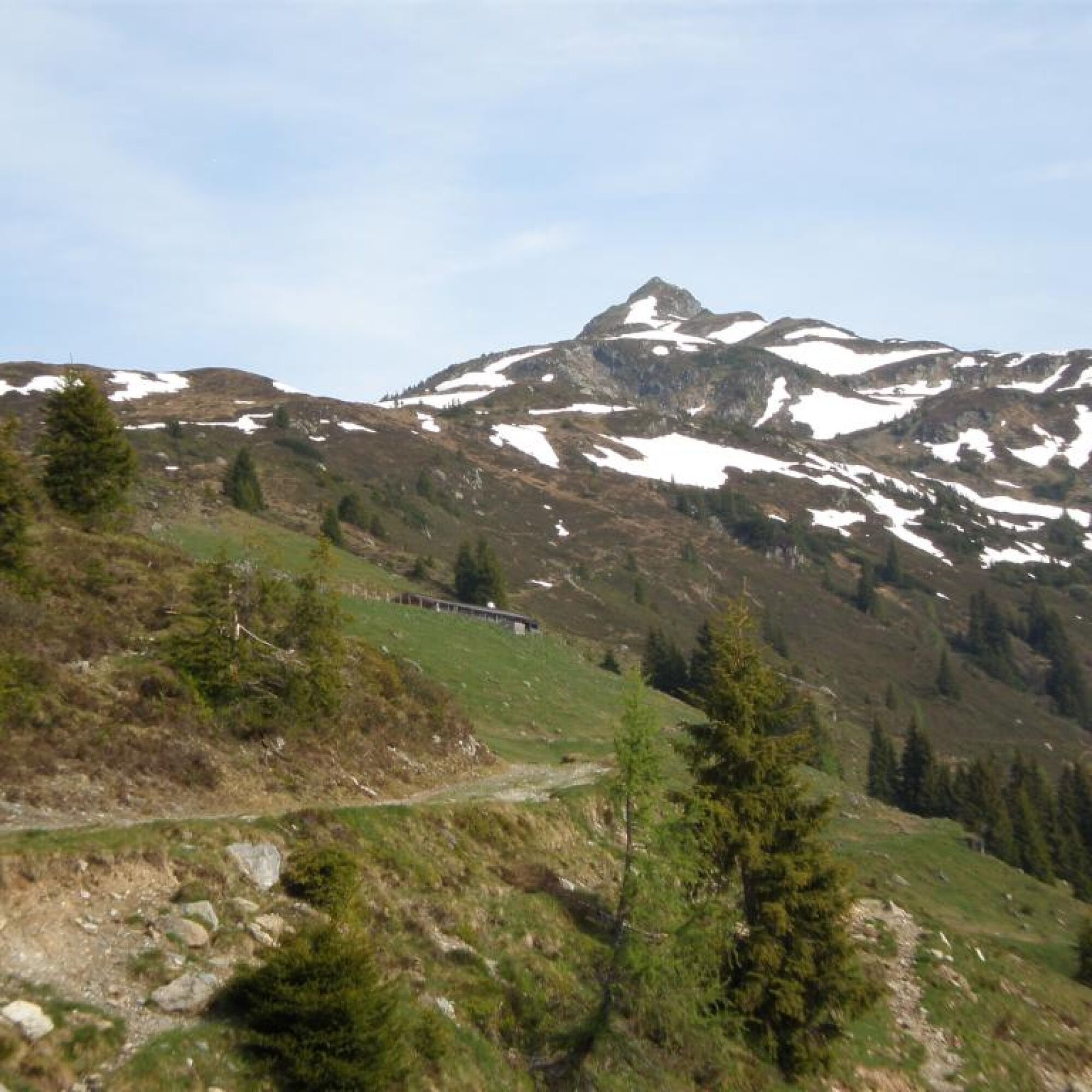

The descent is via route 2 to Lengau.
Tak
Mountain boots, rain gear, sun protection
From Maishofen about 18 km along the L111 to Hinterglemm. In Hinterglemm through the tunnel and about 4 km further to Lengau.
http://www.postbus.at/de/Fahrplanauskunft/index.jsp
Free parking about 200 m after the Hotel Lengauerhof.

Kamery internetowe z trasy

Popularne wycieczki w okolicy
-
4,4
Kitzbüheler Horn über Horn-Gipfel-Höhenweg
średniTrasa tematyczna 5,30 km -
4,8
Streif Wanderweg
średniWędrówka 5,73 km -
4,3
Maurerkogel (Top)
Wędrówka 10,5 km -
4,2
Panoramarundweg am Hahnenkamm
światłoWędrówka 3,02 km -
4,7
Panorama route 3 peaks and 2 lakes
średniWędrówka 7,21 km -
4,6
St. Johann in Tirol: Wasserfall & 3 Seen am Kitzbüheler Horn
średniWędrówka 12,7 km -
4,5
Kitz Bhf- Kitzbühler Horn und zurück zum Alpenhaus
średniWędrówka 11,8 km -
4,7
Tristkogel
ciężkiWędrówka 15,6 km -
4,8
Fieberbrunn- Wildseeloderhaus- Rund um die Henne/Hochhörndlehütte
średniWędrówka 8,02 km -
4,8
Schwarzsee Panorama Rundweg
światłoWędrówka 7,25 km
Wędrówki i tropienie


Nie przegap ofert i inspiracji na następne wakacje
Twój adres e-mail została dodana do listy mailingowej.





