


HOHE TAUERN PANORAMA TRAIL | ET14: Alternative route Grubereck | Embach-Rauris
As an alternative route to stage 14 of the Hohe Tauern Panorama Trail. The short variant from Embach via the Wastlalm is identical to the main route via the Grubereck up to above the Kapelleralm.

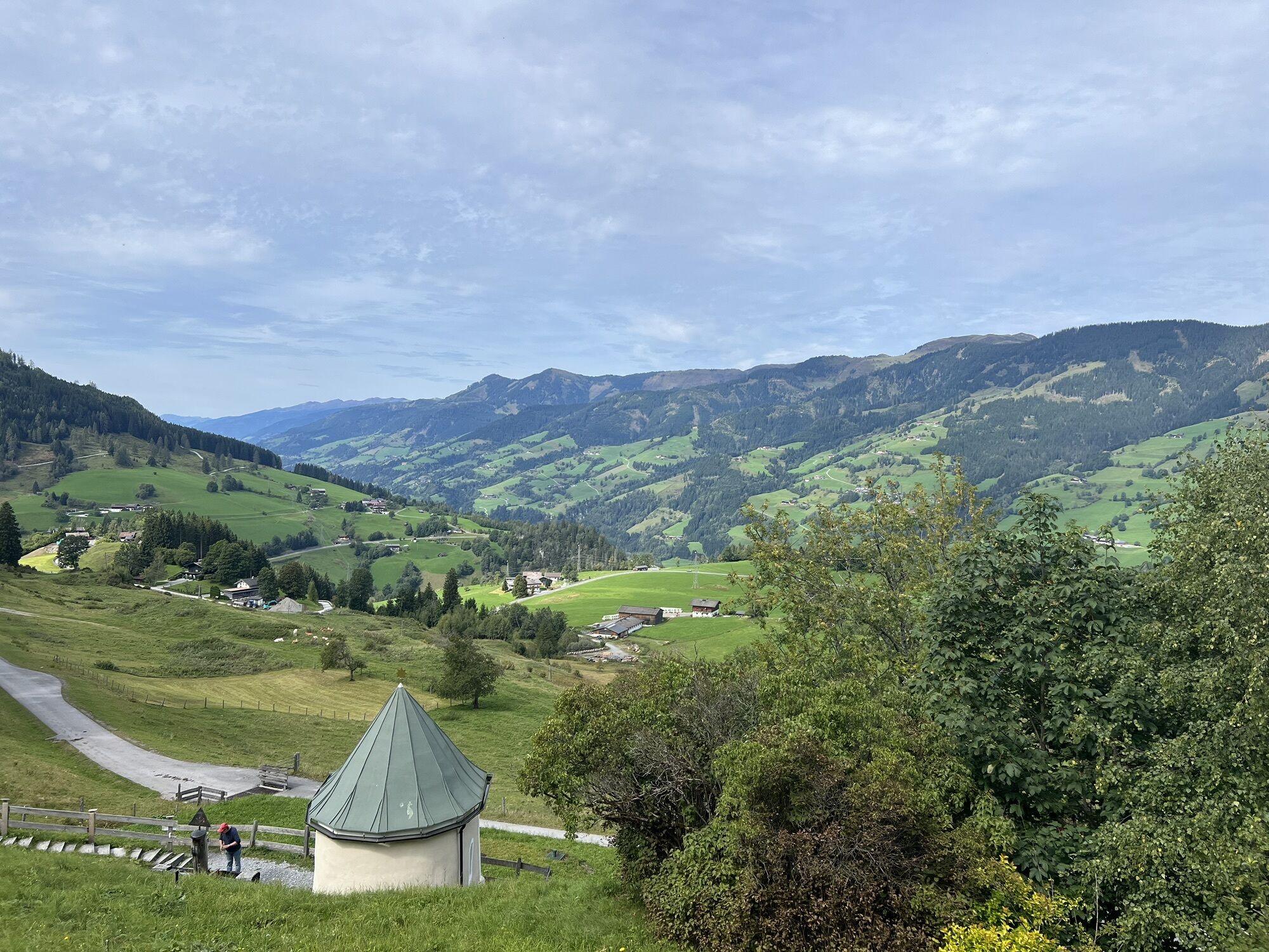
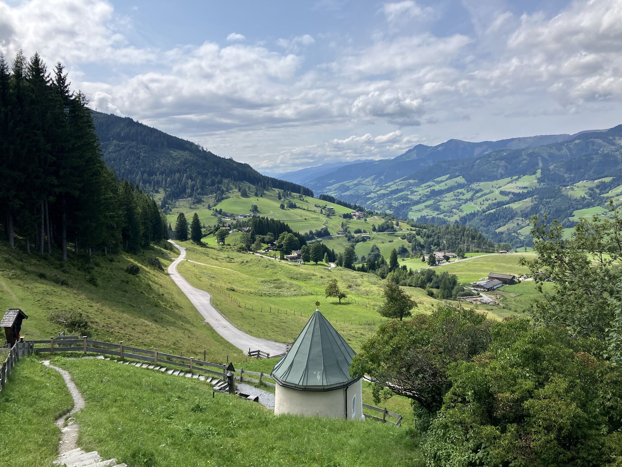
Here you leave the path of the previous stage: walk up the Karrenweg that starts below the chapel towards Kapelleralm (path no. 1). After some time the path narrows to a hiking trail and leads – partially steeper – uphill through forest to a forestry road. Follow the forestry road uphill for a few minutes until a sharply left turning trail leads in a few more minutes to the managed Kapelleralm (theoretically, you could also walk straight towards Wastlalm here and later merge back into the official route – however, the detour via Kapelleralm is definitely worthwhile due to the beautiful trails and the wonderful refreshment opportunities on a rustic alpine pasture).
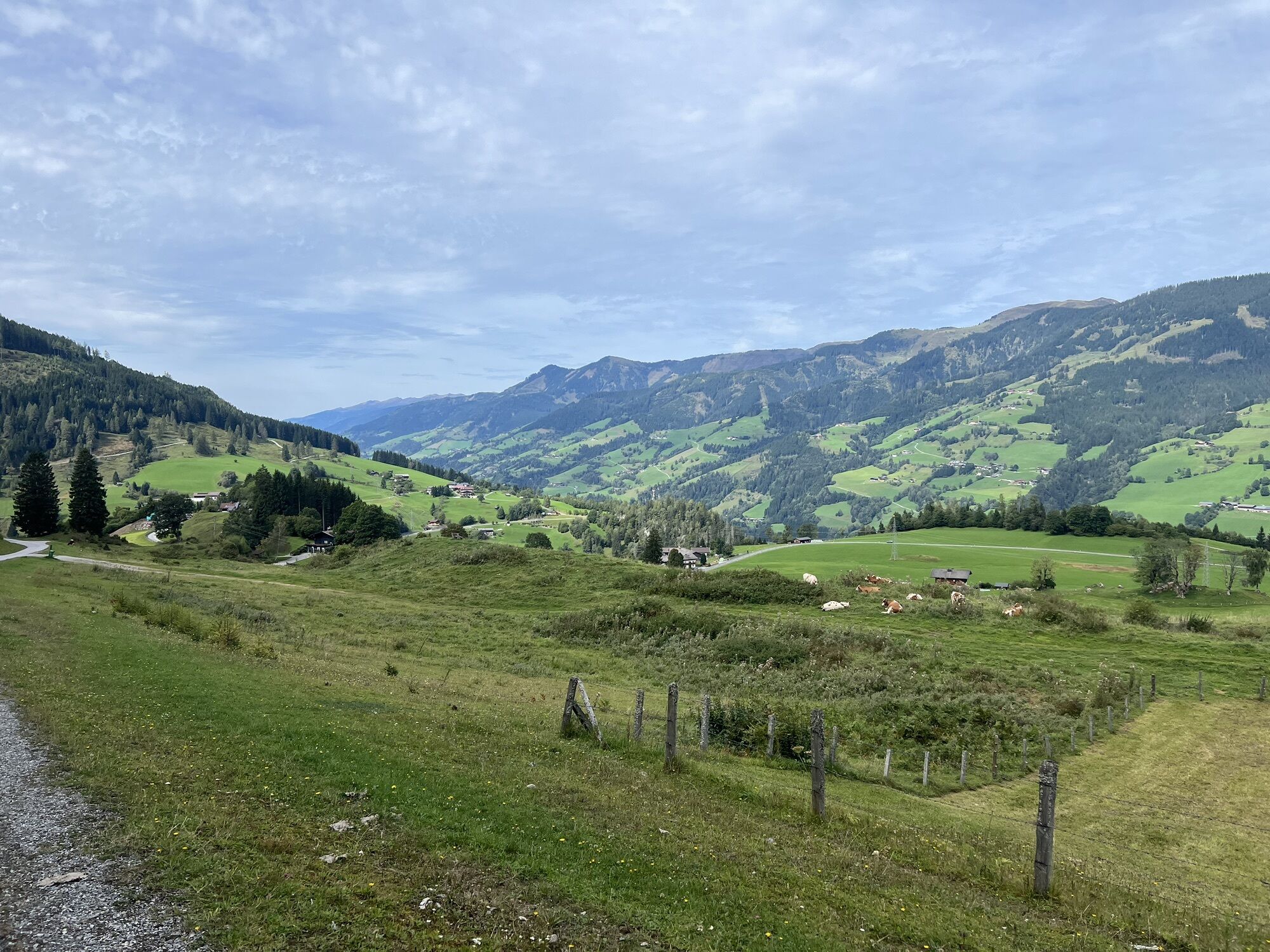
After a rest at Kapelleralm (the only refreshment opportunity on this stage), continue hiking on the trail towards “Kahrscharte – Anthaupten” (no. 2) over alpine meadows and shorter forest sections uphill until you reach a passable alpine road after about 25 minutes.
While the main route towards Grubereck moves uphill on the alpine road to the left, follow the alpine road downhill to the right in the short variant (path no. 1/22 “Wastlalm”). After a while you arrive at another forestry road; follow it to the left (path no. 22 “Wastlalm”) up to the Wastlalm. Past the alpine pasture, continue straight on the alpine road towards “Schriefling/Rauris” (no. 22). After a few minutes, a trail (signpost “Schriefling/Rauris” no. 22) branches off to the right, which you follow slightly downhill through a deeply cut valley. Shortly behind a small alpine hut, you meet a forestry road again, which you descend through two hairpin bends and then traverse the slope to the first houses of Schriefling.
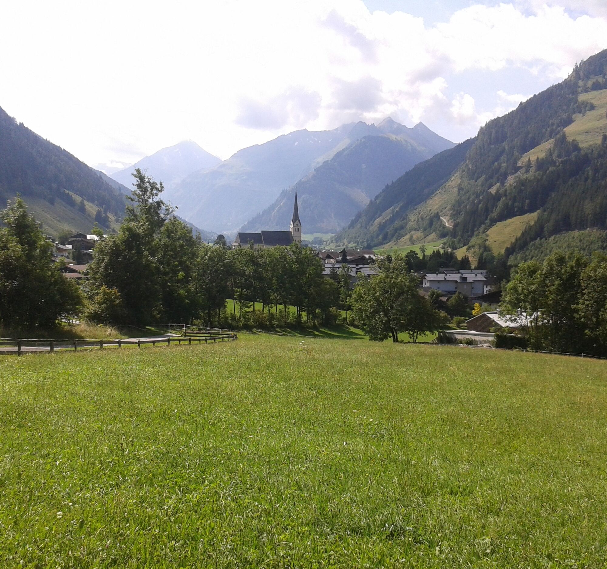
Just behind the first houses, a trail branches off to the right downhill towards Rauris (path no. 22). Here the main route via the Grubereck comes from the other side of the road and from now on both routes lead identically downhill to Rauris:
Through woods and over meadows continue descending, at a fork in the path after crossing a creek continue straight and reach a small paved road. After a right bend of the paved road, a sharply left branching meadow path leads to the start of Rauris.
Pass the Sonnblickbad, cross a bridge, and turn right before a red house into Gaisbachstraße. Shortly after, make a left sweep past the church and reach the main street in the center of Rauris. The stage destination at the tourist information in Rauris is located 100 m after turning right, immediately left of the street.
Coming from the north: German A9 motorway from Munich
Coming from the east: A1 West motorway
Coming from the south: A10 Tauern motorway
Coming from the west: A12 Inn valley motorway to Wörgl (then on federal roads)
From Schwarzach or Zell am See, take the S-Bahn S3 to Lend station. Transfer to regional bus 631 (Embach town center) to the Embach town center stop, the starting point of the stage at the Embach tourist information (Embach12, 5651 Embach)
Current timetables at https://fahrplan.salzburg-verkehr.at/
Public parking near Embacher Sporthotel
Popularne wycieczki w okolicy
- 4,9
Großarl: Aualm - Liechtensteinkopf - Aukopf - Schuhflicker - Schuhflickersee
średniWędrówka 5,84 km - 4,8
Großarl: Mooslehenalm – Niggeltalalm – Viehhausalm
średniWędrówka 5,44 km - 4,5
Wasserfall Bad Hofgastein
światłoWędrówka 3,89 km - 4,2
Hundstein-Runde von Maria Alm
ciężkiMountainbike 44,4 km - 4,8
Bad Hofgastein Bergbahn Parkplatz - Rastötzenalm Bad Hofgastein
średniMountainbike 16,9 km - 4,7
Goldeggweng Hochleitenalm
światłoWędrówka 2,92 km - 5,0
Türchlwand von der Bergstation Schlossalmbahn Bad Hofgastein, Österreich
średniWycieczki górskie 7,05 km - 5,0
Großarl: Heukareck
średniWędrówka 12,5 km - 4,3
Bruck: 732+736+730 | Drei Brüder
ciężkiWędrówka 16,1 km - 4,0
Hike to the Bürglalm and Zachhofalm
średniWędrówka 8,40 km
Wędrówki i tropienie


Nie przegap ofert i inspiracji na następne wakacje
Twój adres e-mail została dodana do listy mailingowej.