






Rauris: Wörth - Hochtor - Pack animal route No. 114
Zdjęcia naszych użytkowników
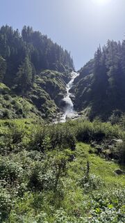
 © Marian FeilerUtworzono dnia 13.08.2025
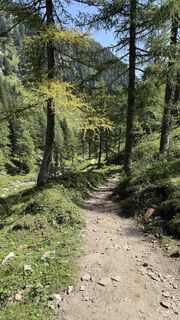 © Marian FeilerUtworzono dnia 13.08.2025
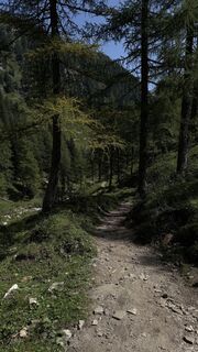 © Marian FeilerUtworzono dnia 13.08.2025
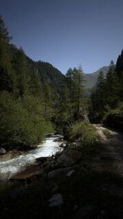 © Marian FeilerUtworzono dnia 13.08.2025
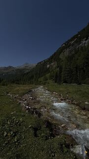 © Marian FeilerUtworzono dnia 13.08.2025
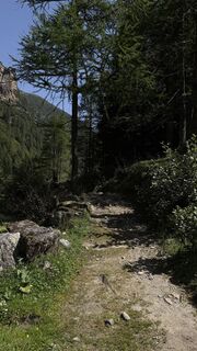 © Marian FeilerUtworzono dnia 13.08.2025
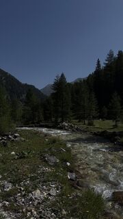 © Marian FeilerUtworzono dnia 13.08.2025
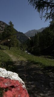 © Marian FeilerUtworzono dnia 13.08.2025
 © Marian FeilerUtworzono dnia 13.08.2025
 © Marian FeilerUtworzono dnia 13.08.2025
 © Marian FeilerUtworzono dnia 09.08.2025
 © Marian FeilerUtworzono dnia 09.08.2025
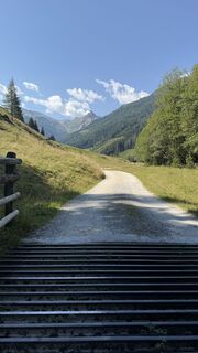 © Marian FeilerUtworzono dnia 09.08.2025
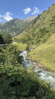 © Marian FeilerUtworzono dnia 09.08.2025
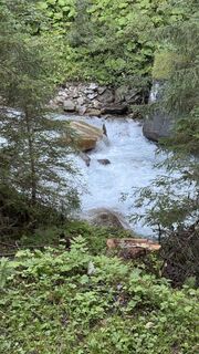 © Marian FeilerUtworzono dnia 09.08.2025
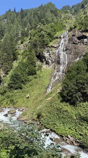 © Marian FeilerUtworzono dnia 09.08.2025
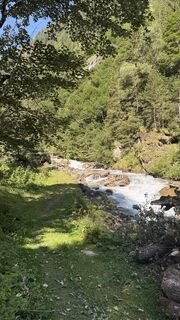 © Marian FeilerUtworzono dnia 09.08.2025
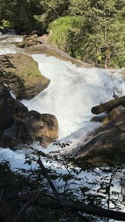 © Marian FeilerUtworzono dnia 09.08.2025
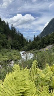 © Marian FeilerUtworzono dnia 13.07.2025
 © Marian FeilerUtworzono dnia 13.07.2025
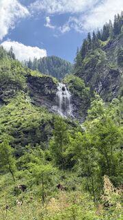 © Marian FeilerUtworzono dnia 13.07.2025
 © Marian FeilerUtworzono dnia 13.07.2025
 © Marian FeilerUtworzono dnia 13.07.2025
 © Marian FeilerUtworzono dnia 13.07.2025
 © Marian FeilerUtworzono dnia 13.07.2025
 © Marian FeilerUtworzono dnia 13.07.2025
 © Marian FeilerUtworzono dnia 13.07.2025
 © Marian FeilerUtworzono dnia 13.07.2025
 © Marian FeilerUtworzono dnia 13.07.2025
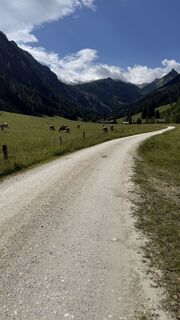 © Marian FeilerUtworzono dnia 13.07.2025
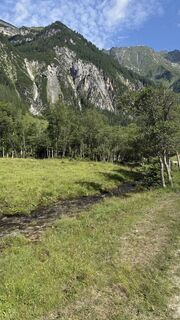 © Marian FeilerUtworzono dnia 13.07.2025
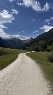 © Marian FeilerUtworzono dnia 13.07.2025
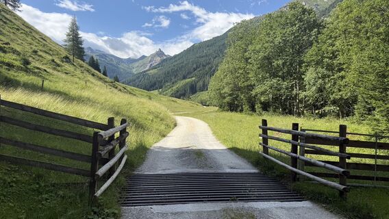 © Marian FeilerUtworzono dnia 13.07.2025
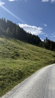 © Marian FeilerUtworzono dnia 13.07.2025
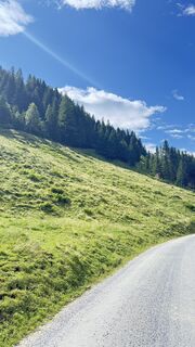 © Marian FeilerUtworzono dnia 13.07.2025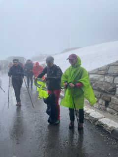
 © Scha-SunUtworzono dnia 28.06.2023
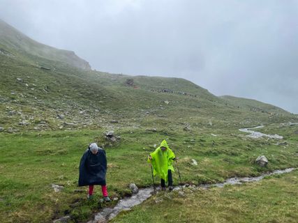 © Scha-SunUtworzono dnia 28.06.2023
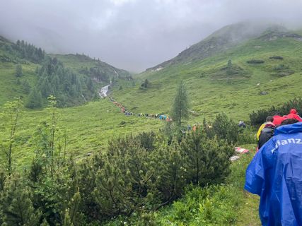 © Scha-SunUtworzono dnia 28.06.2023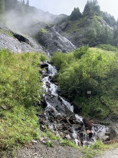
 © Koen De WitUtworzono dnia 18.08.2022
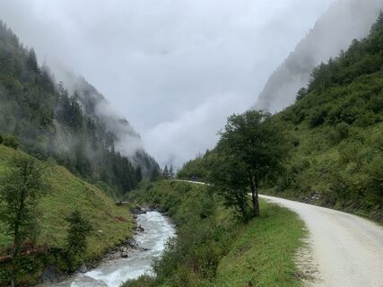 © Koen De WitUtworzono dnia 18.08.2022
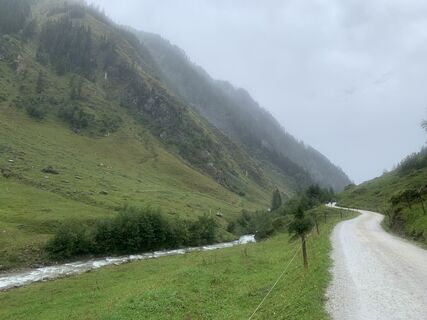 © Koen De WitUtworzono dnia 18.08.2022
 © Koen De WitUtworzono dnia 18.08.2022
 © Koen De WitUtworzono dnia 18.08.2022
 © Koen De WitUtworzono dnia 18.08.2022
 © Koen De WitUtworzono dnia 18.08.2022
 © Koen De WitUtworzono dnia 18.08.2022
 © Koen De WitUtworzono dnia 18.08.2022
 © Koen De WitUtworzono dnia 18.08.2022
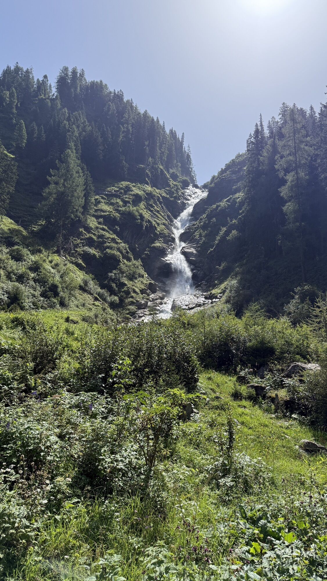
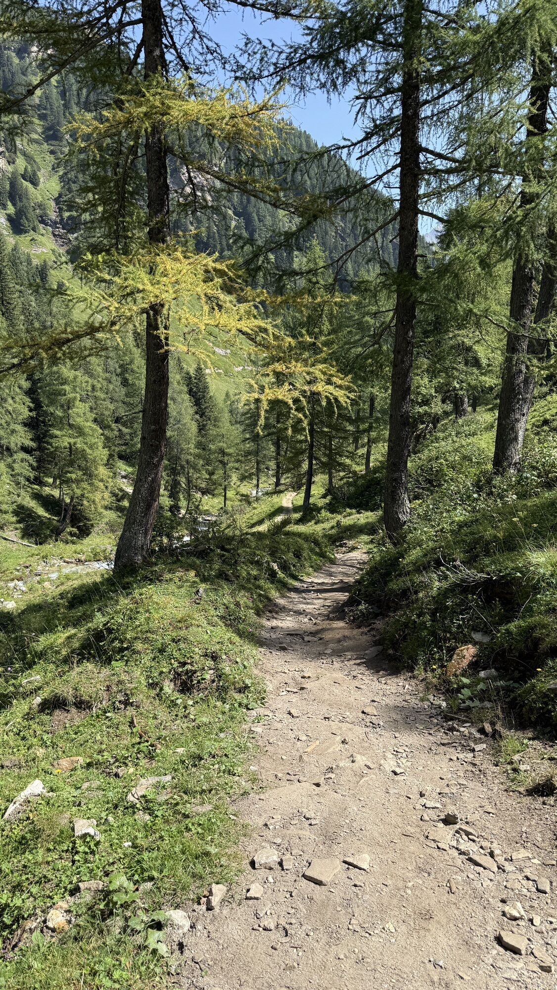
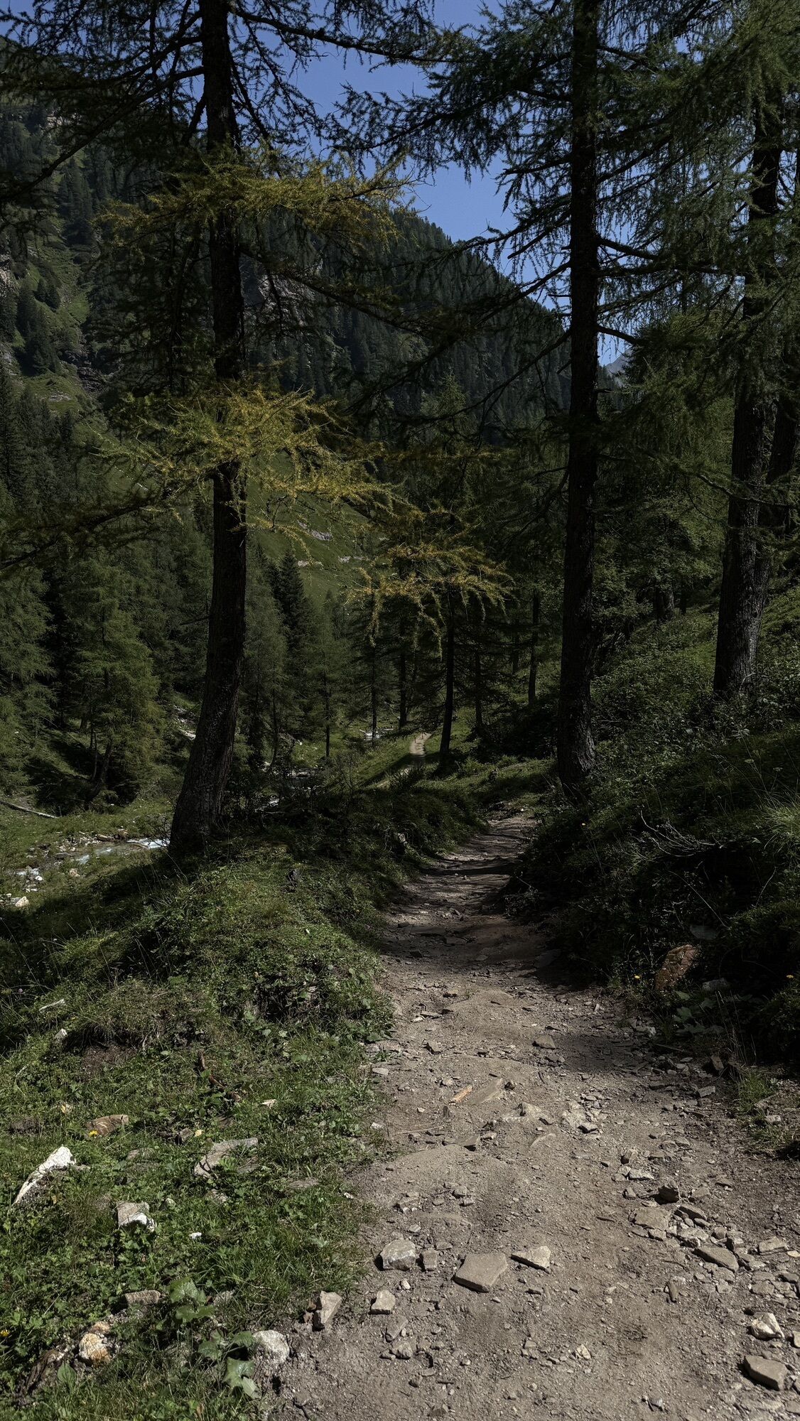
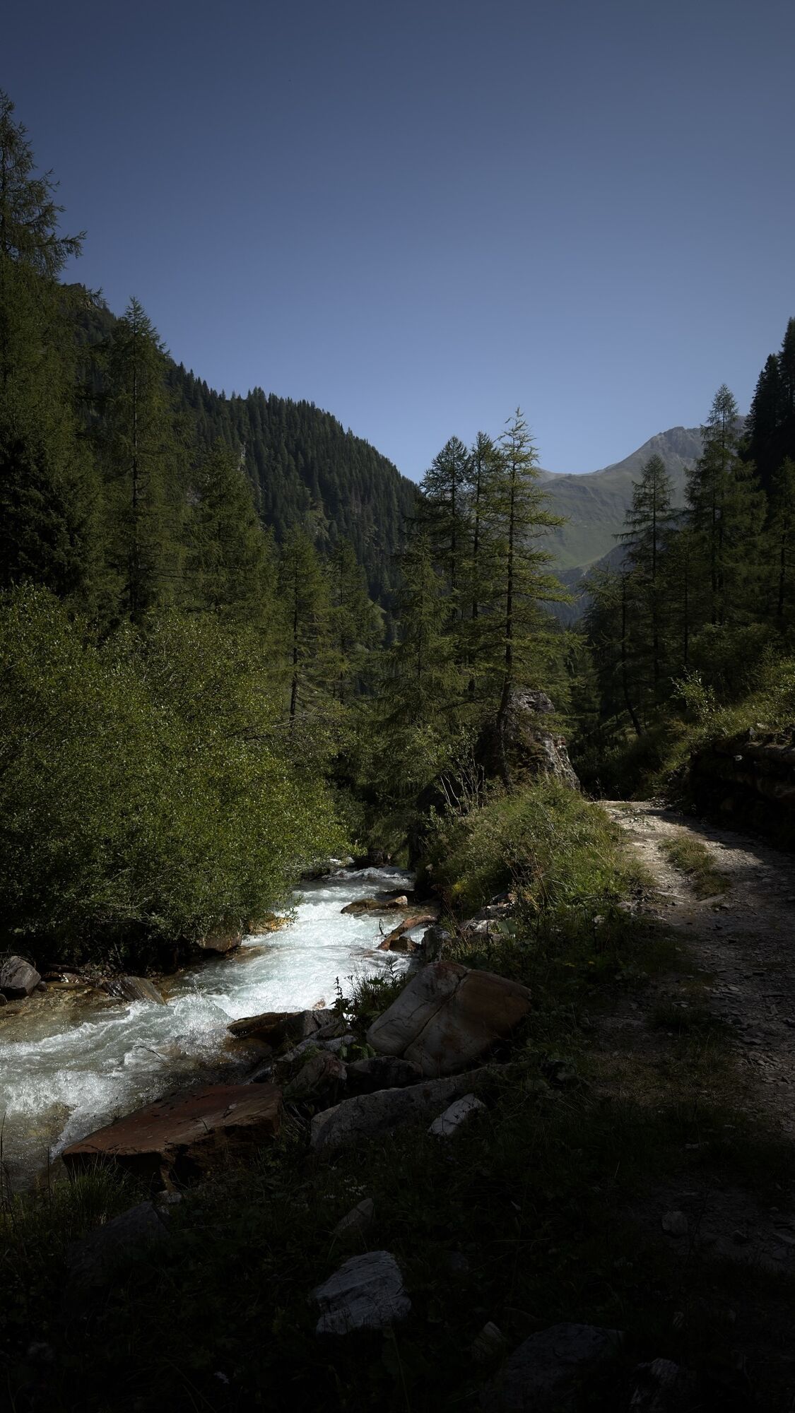
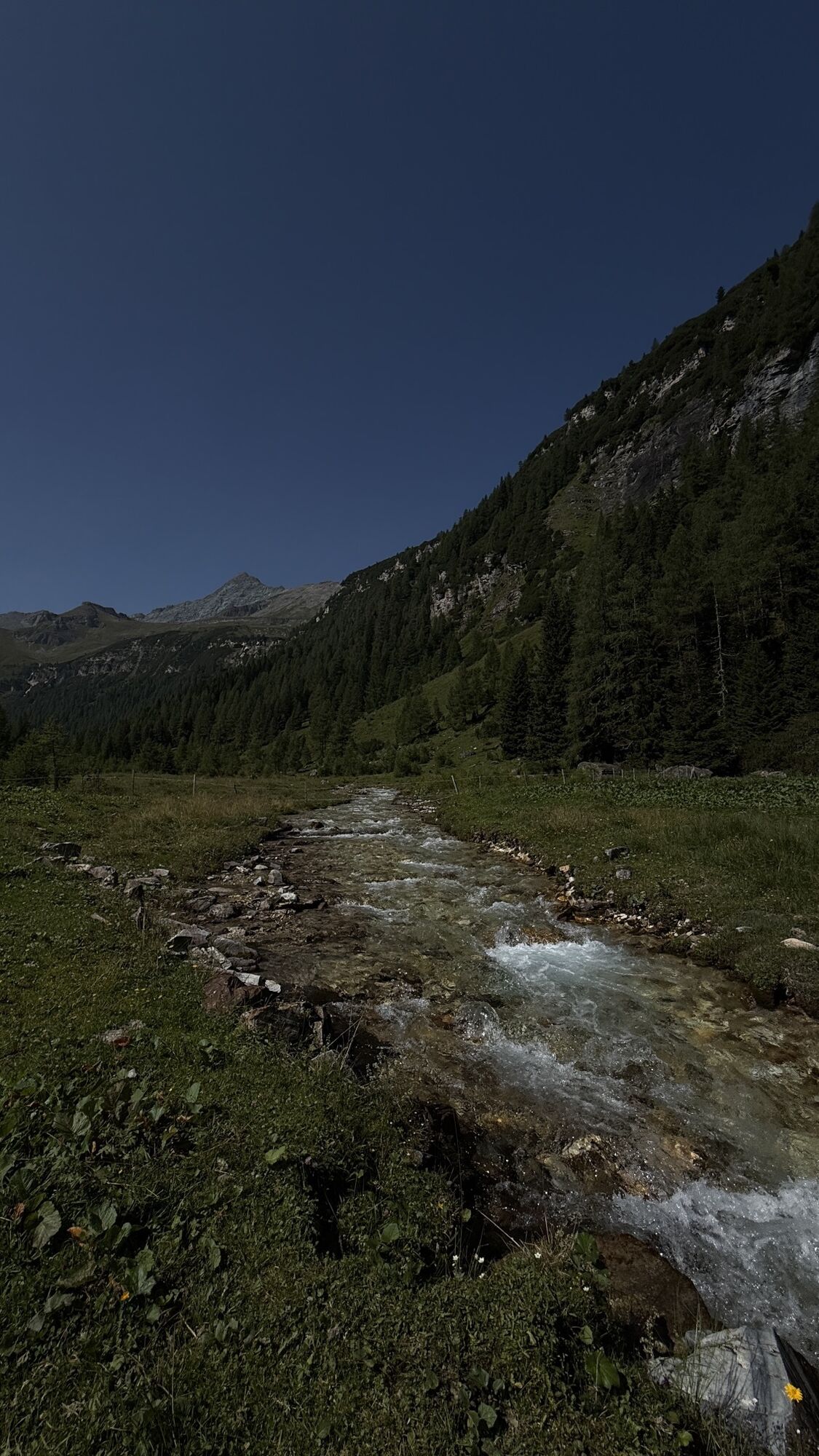
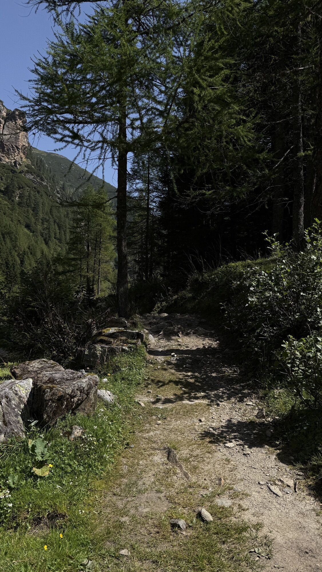
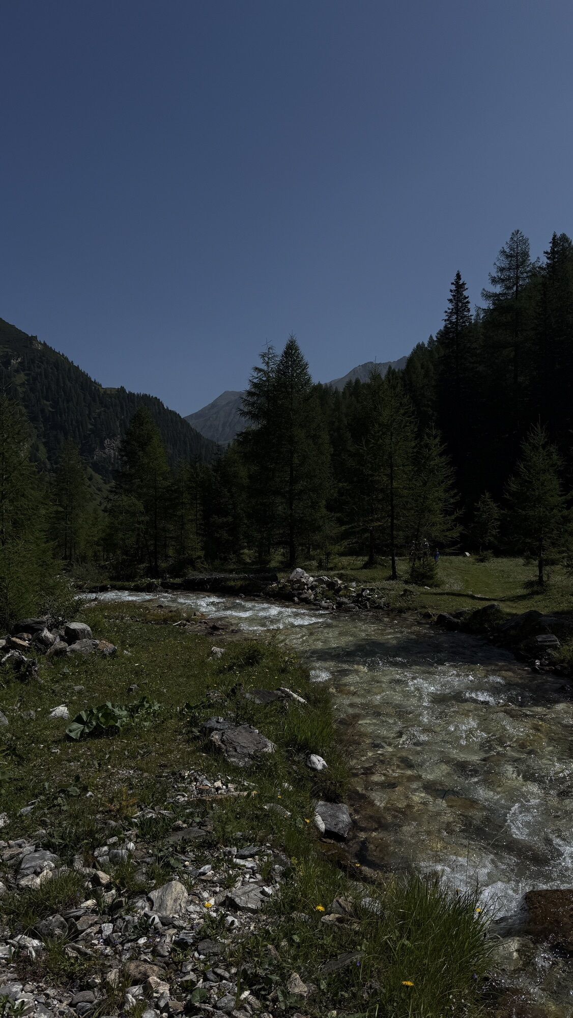
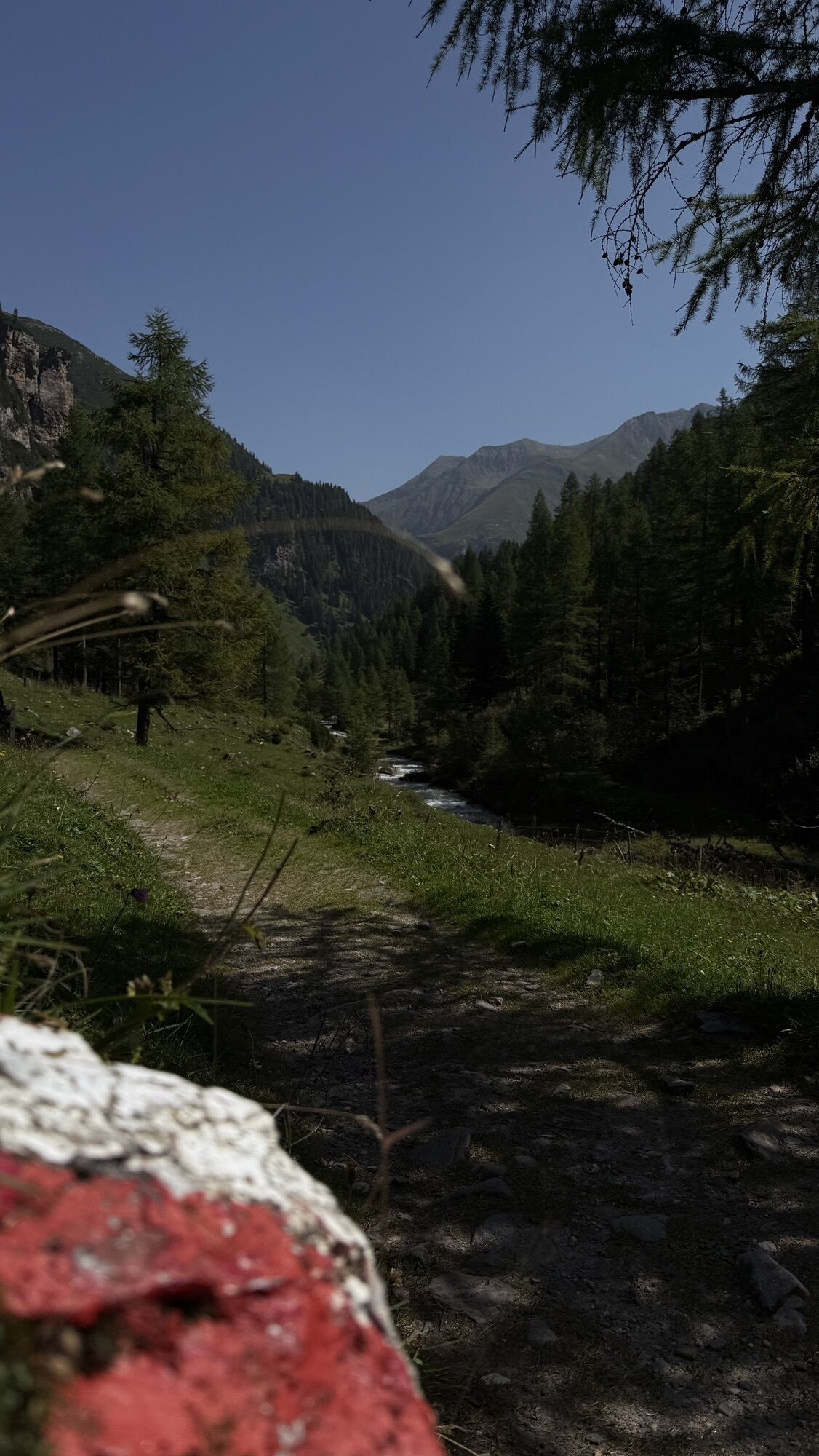
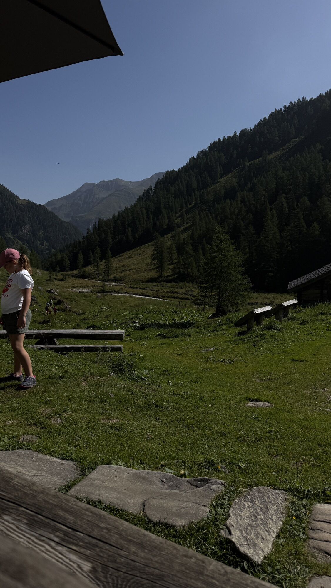
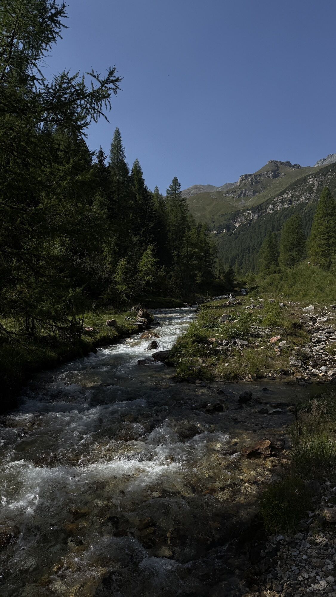
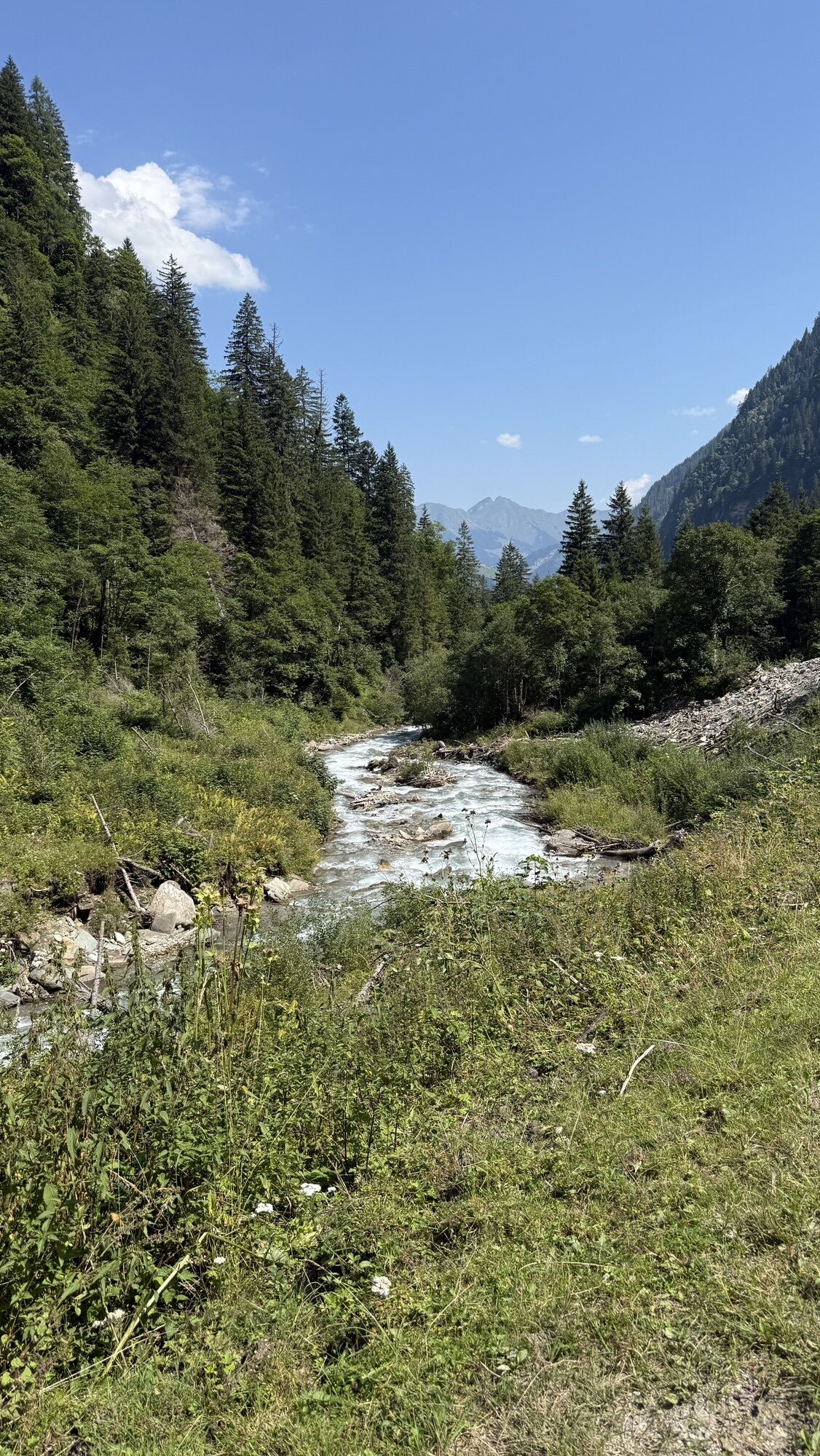
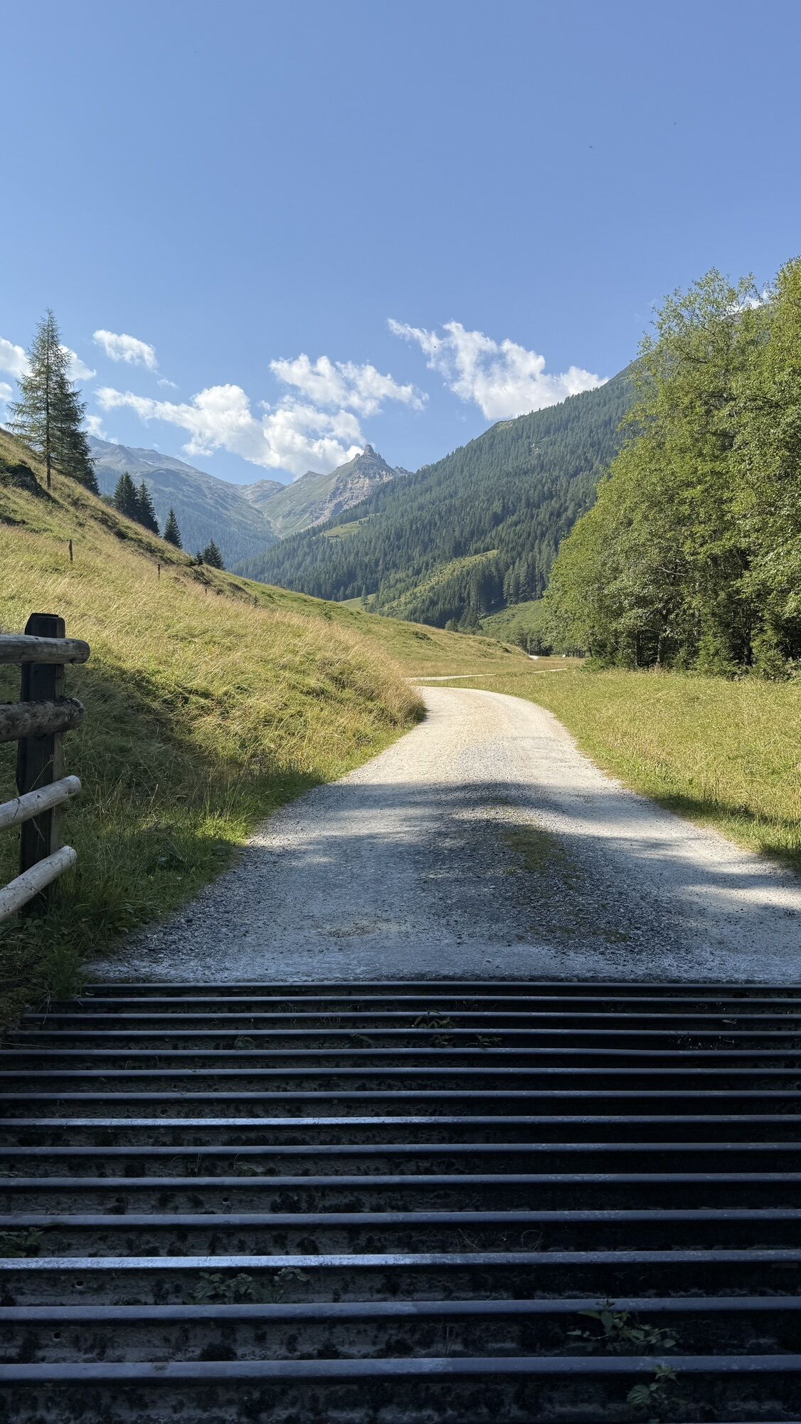
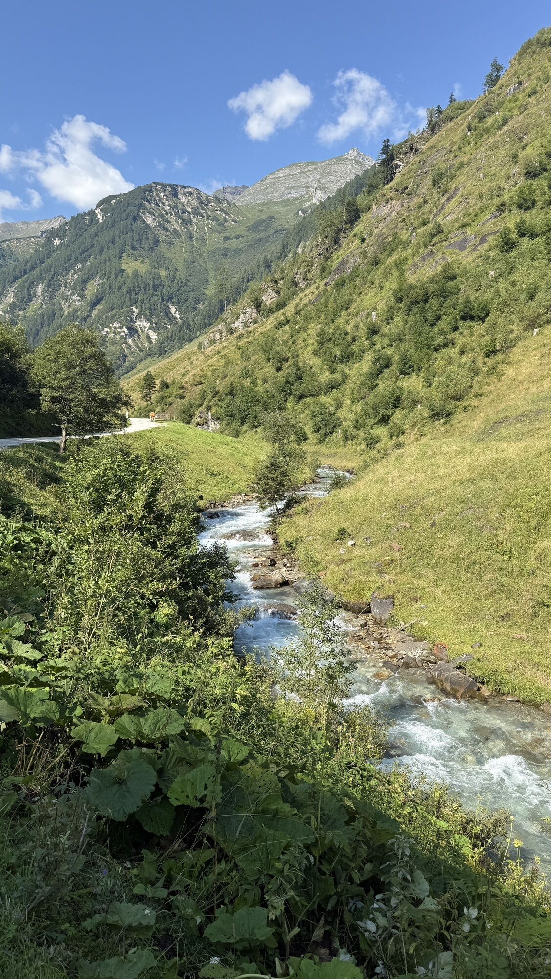
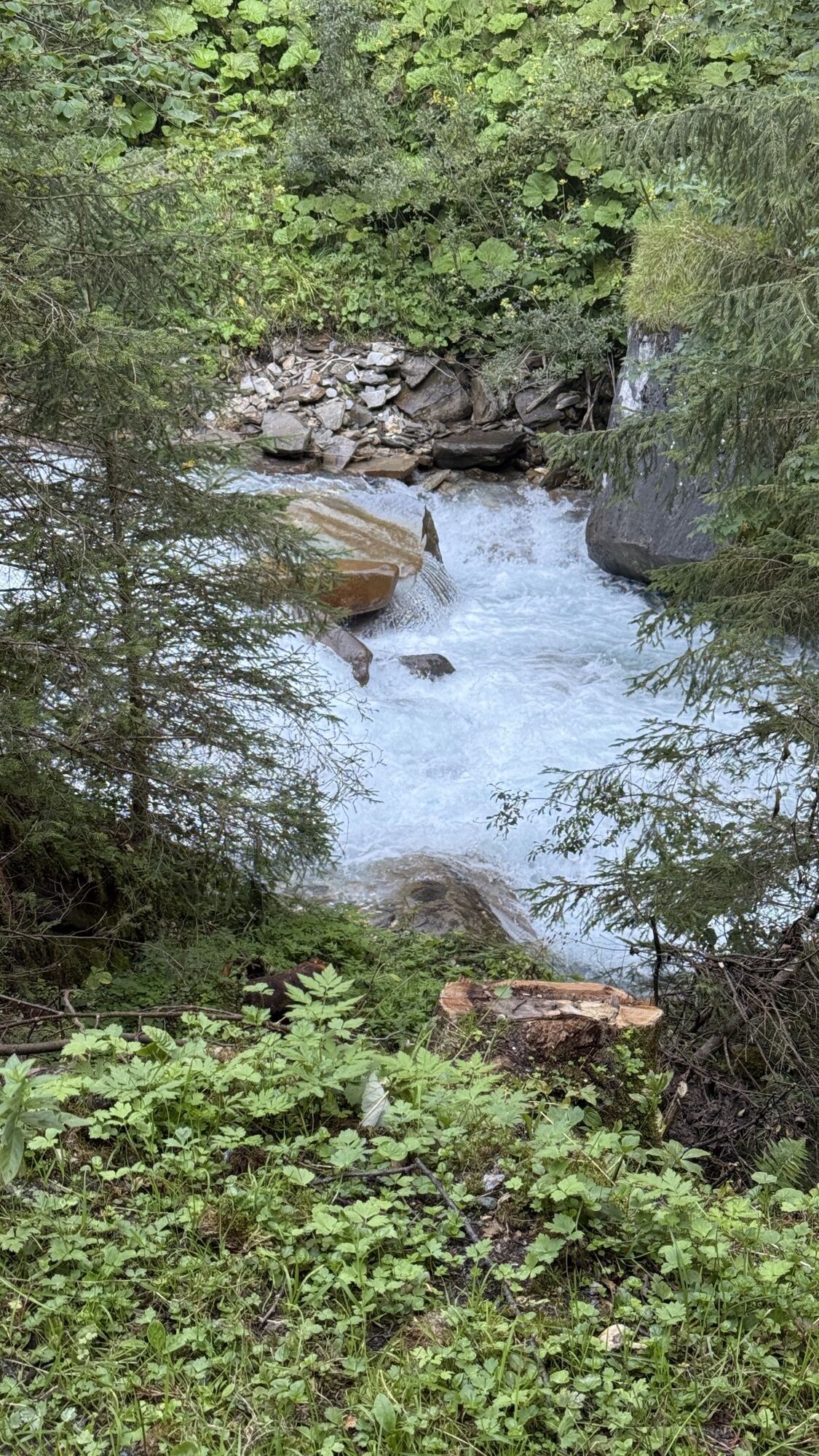
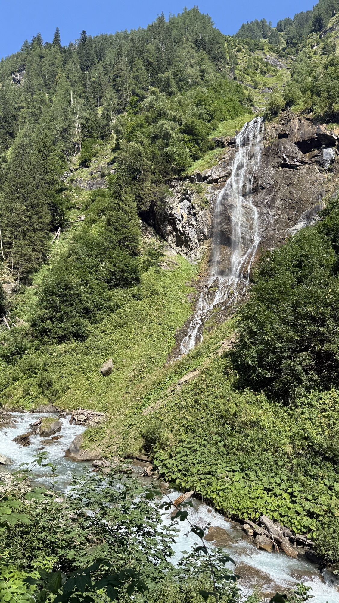
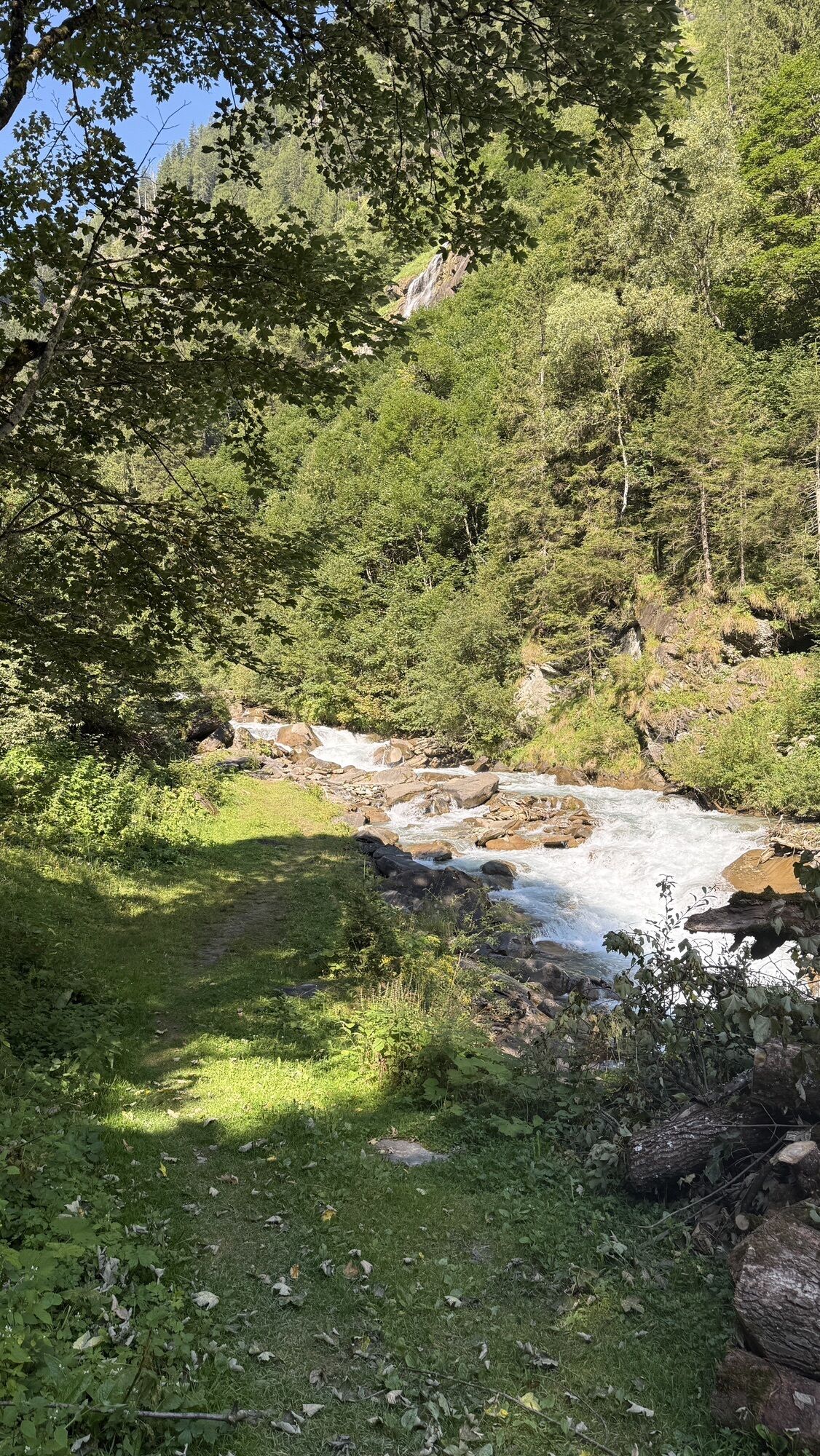
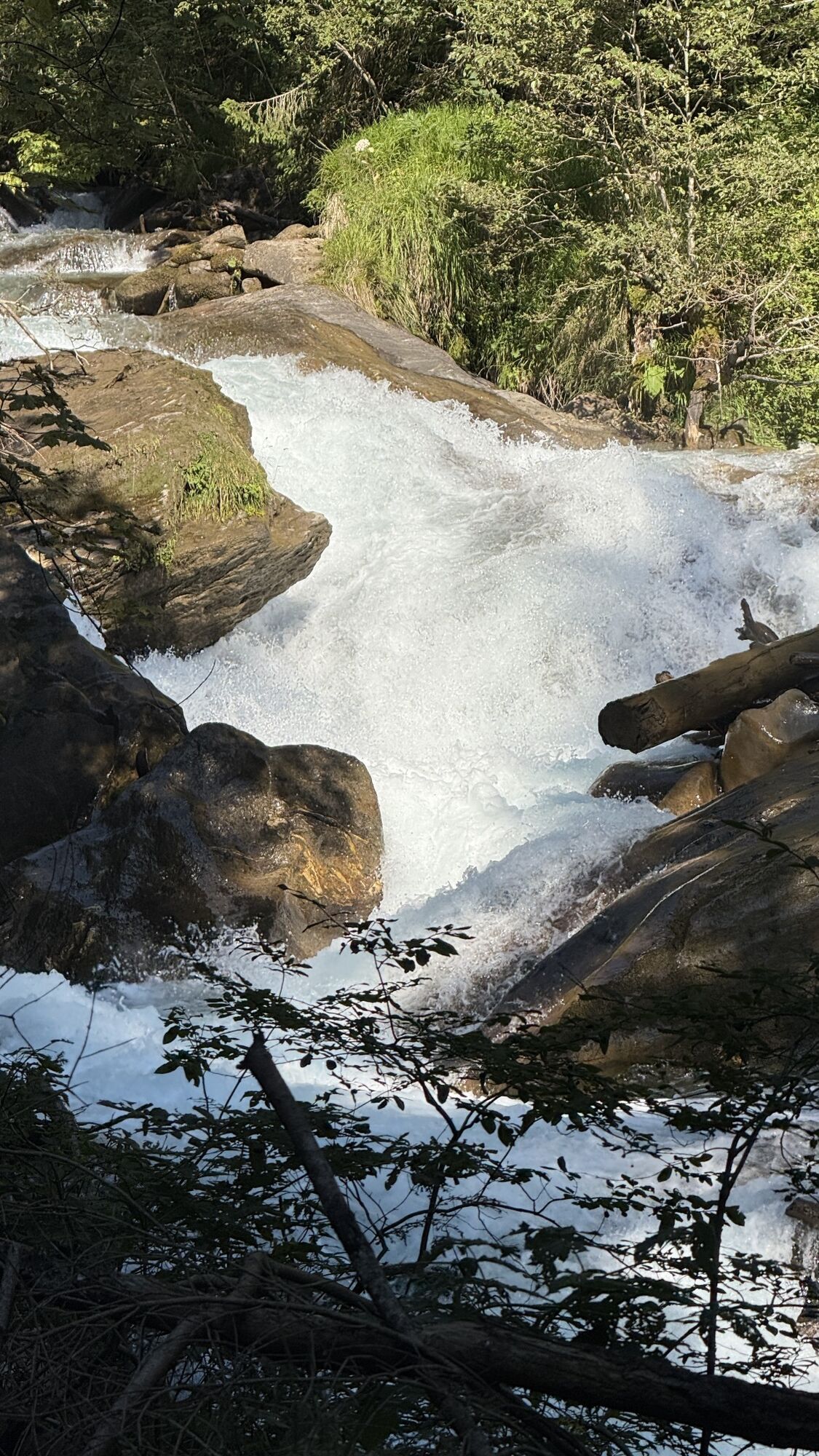
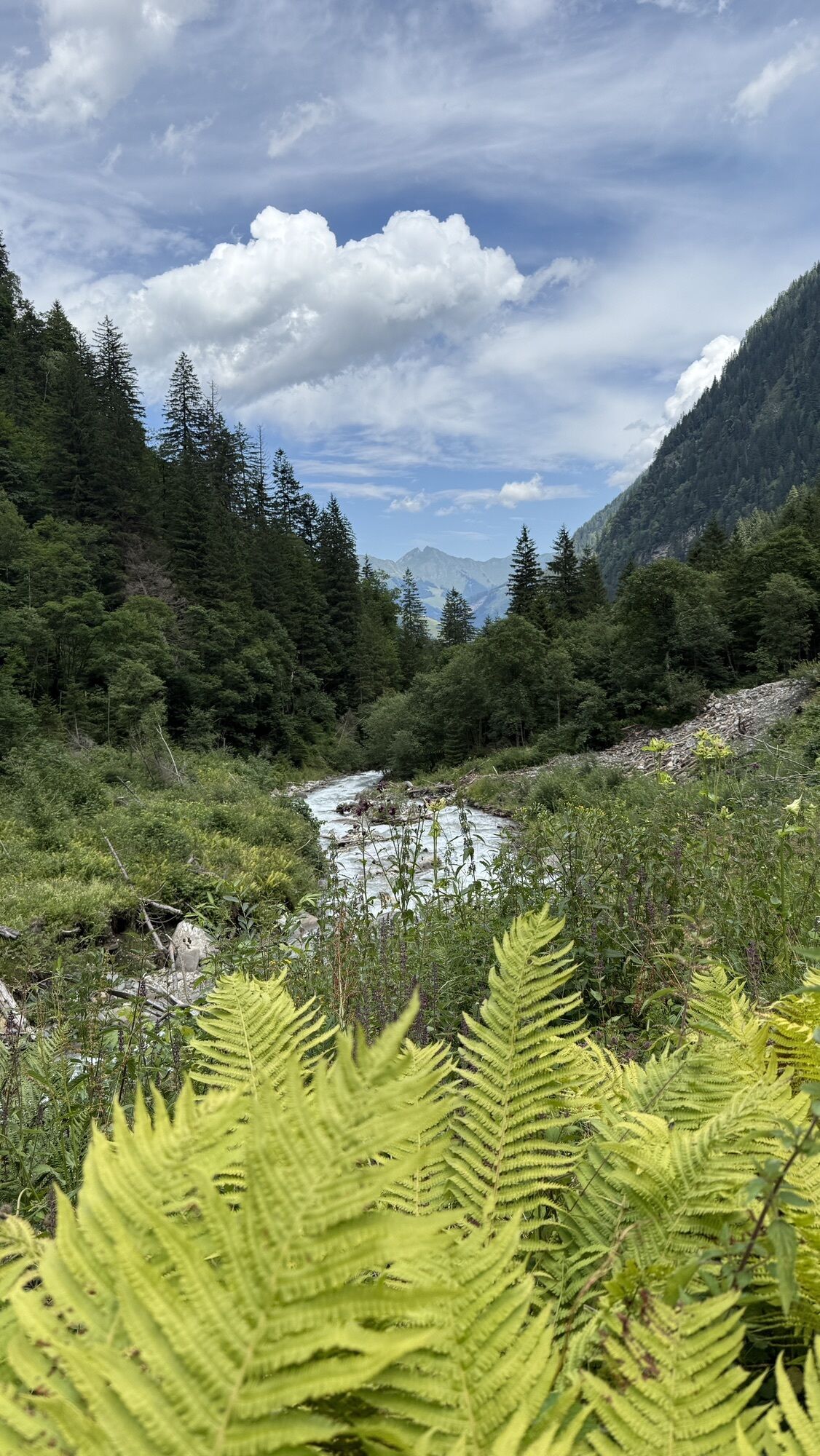
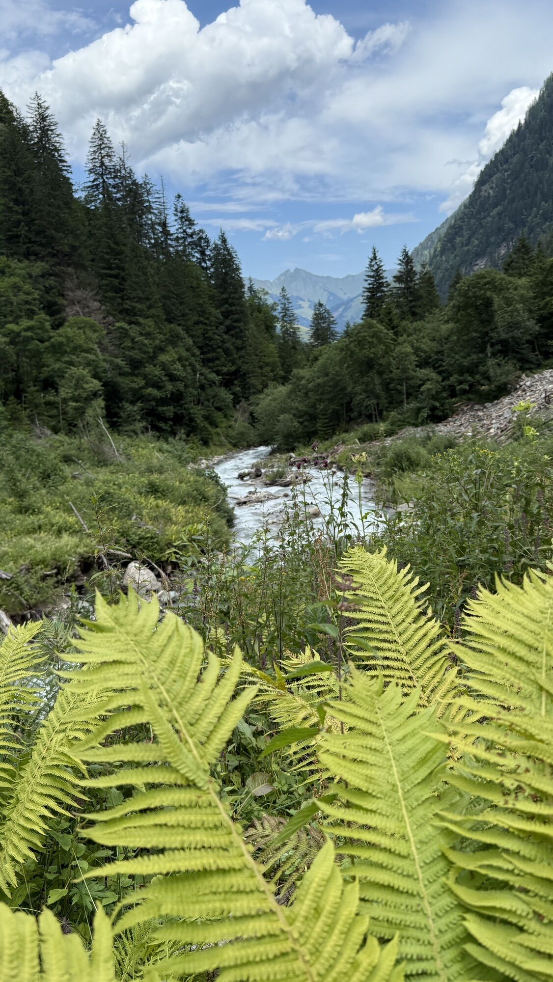
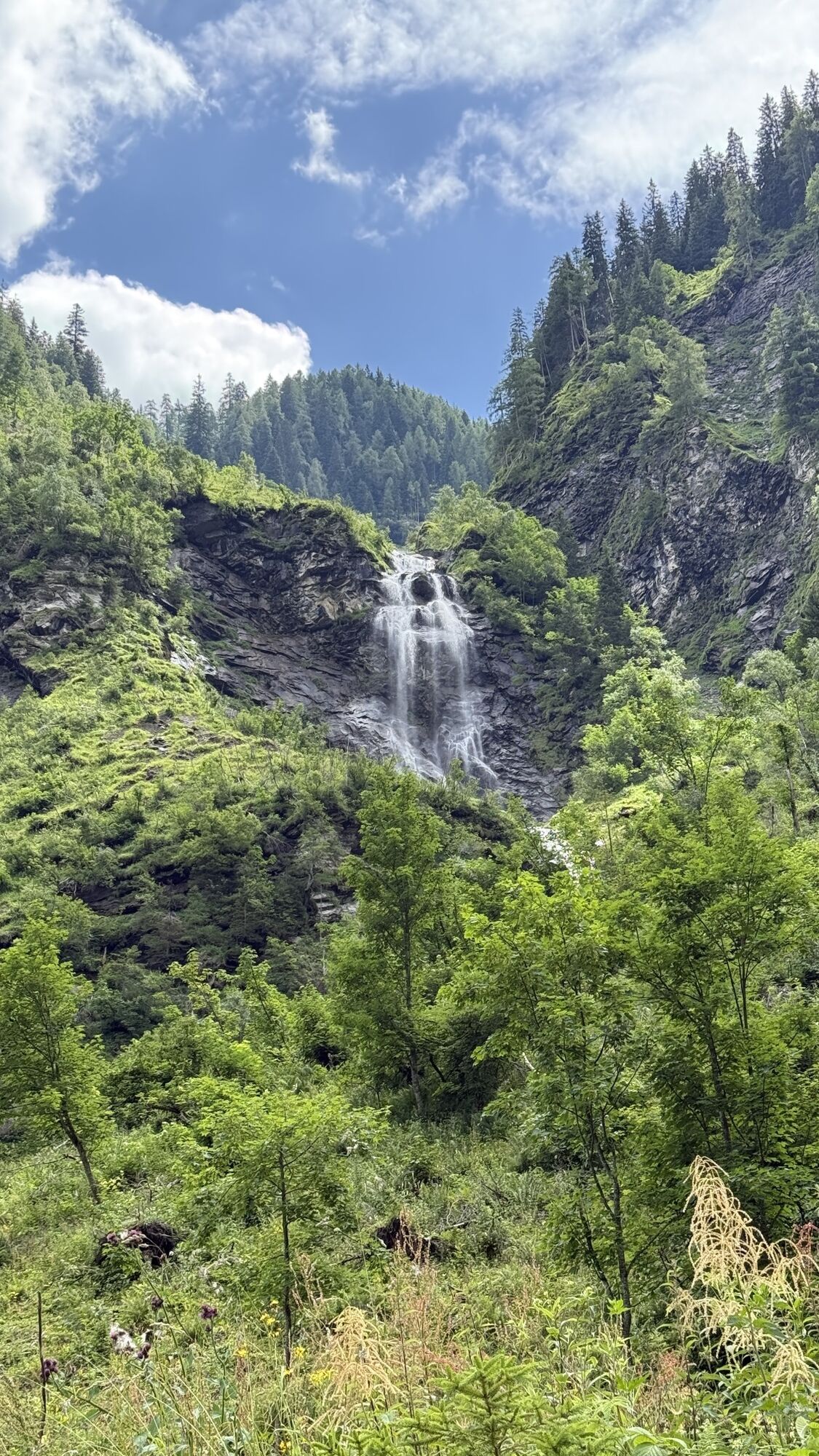
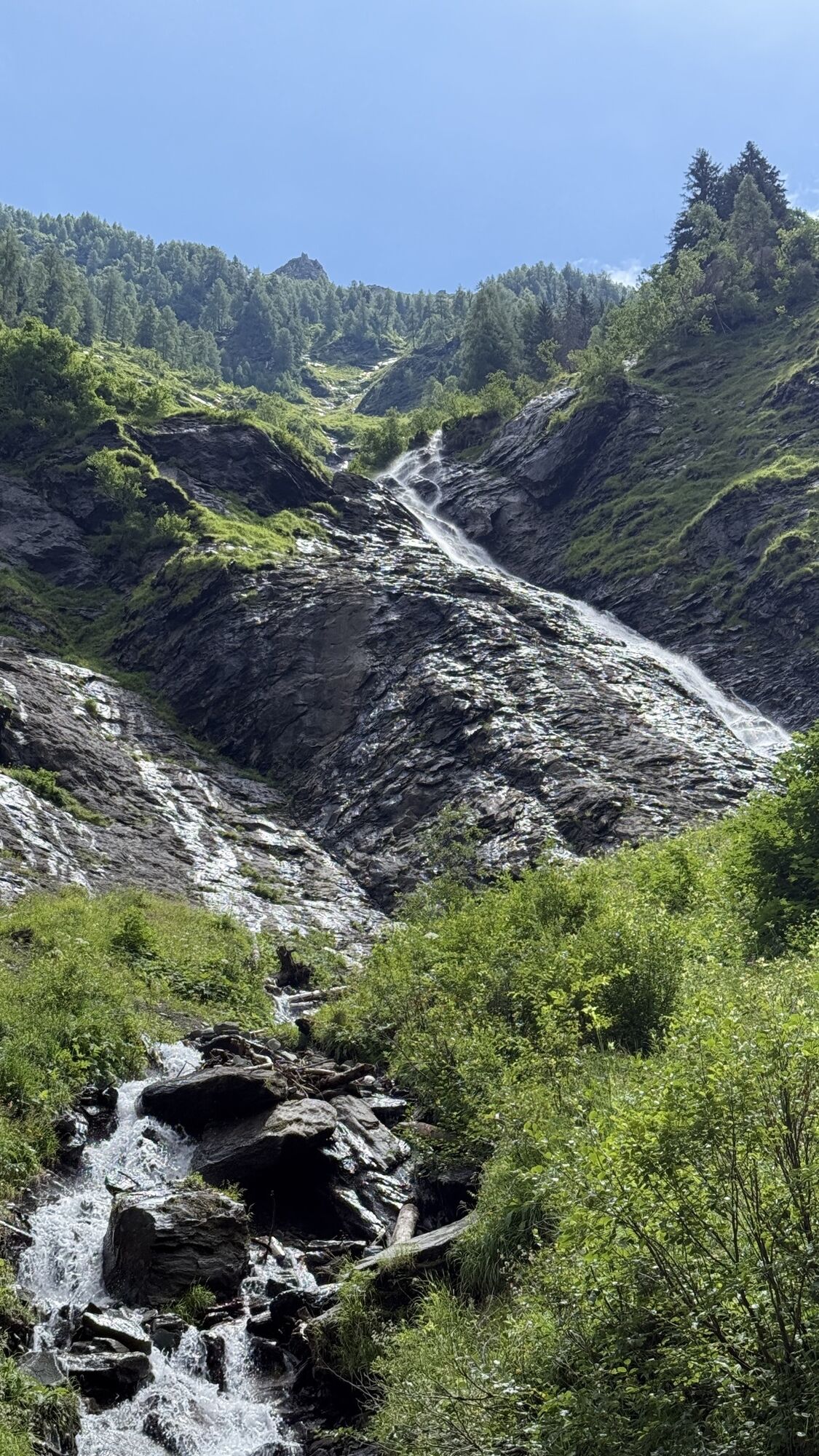
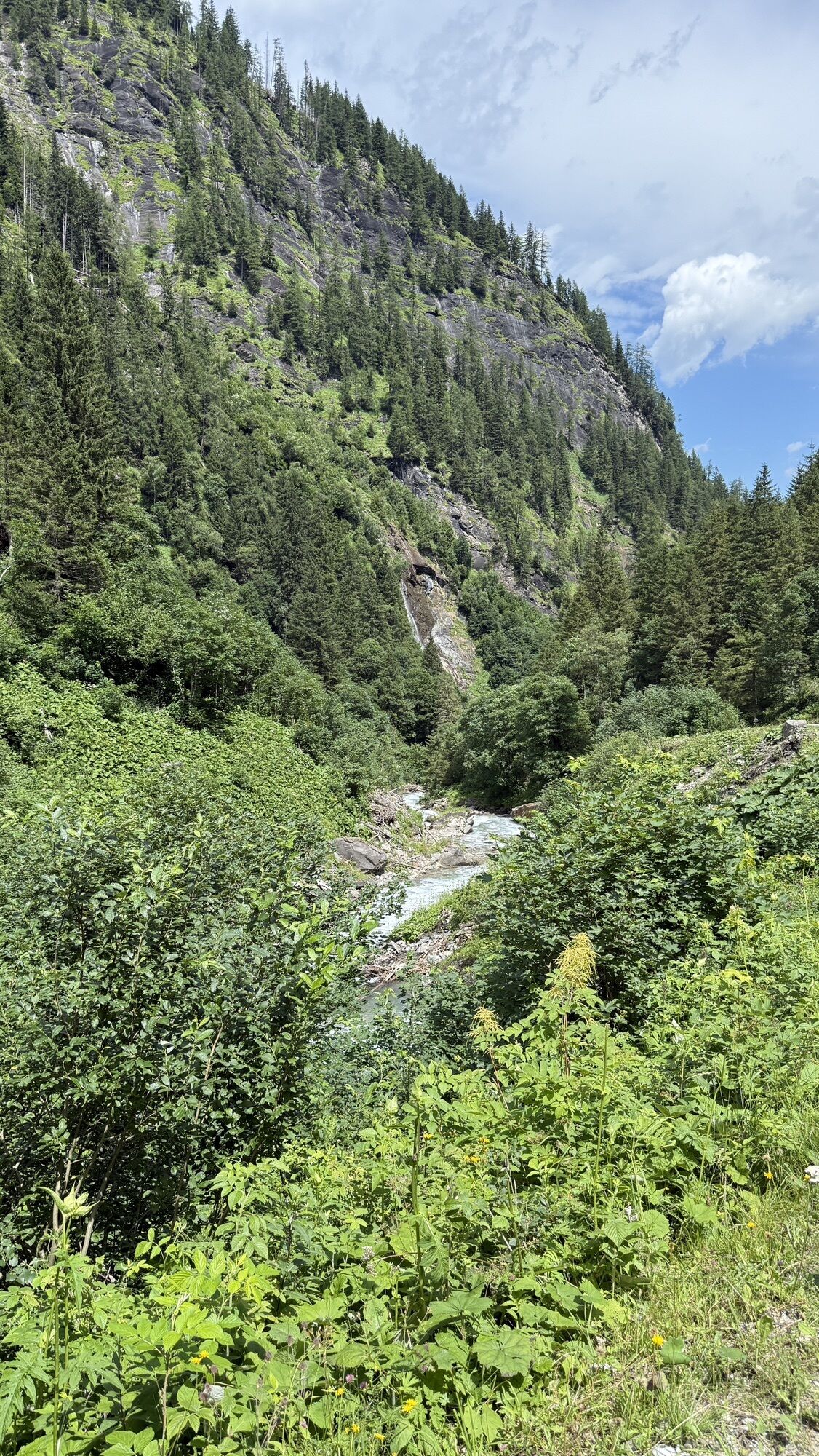

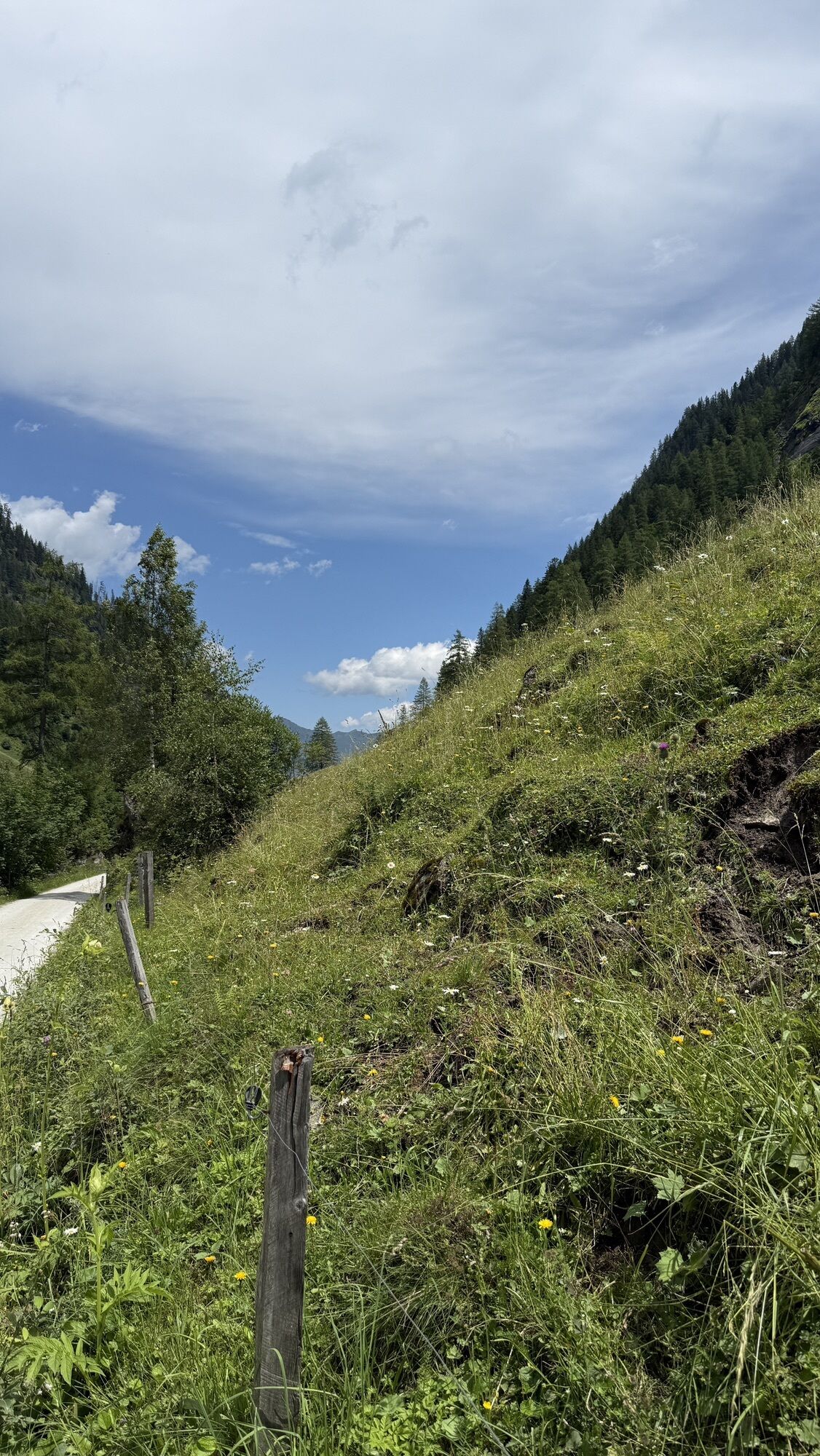
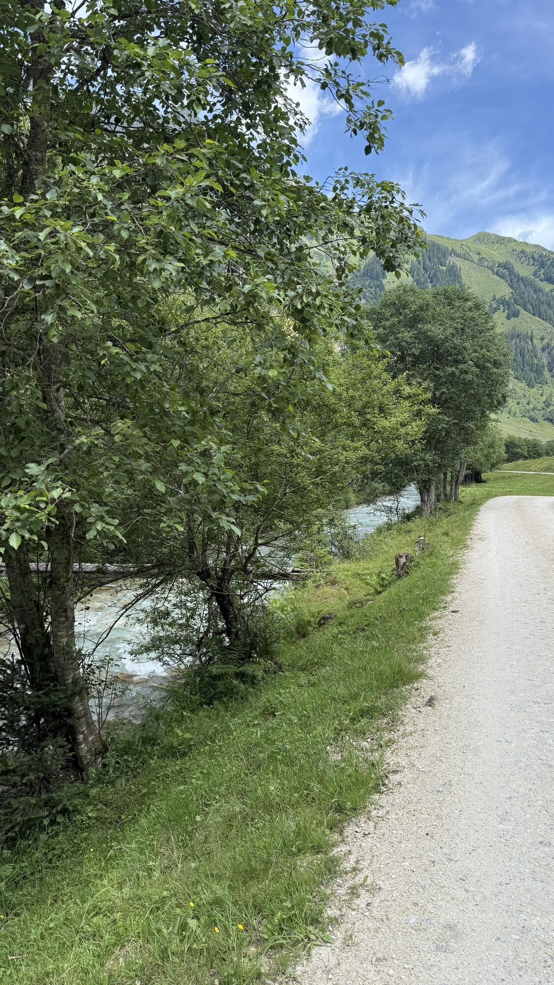
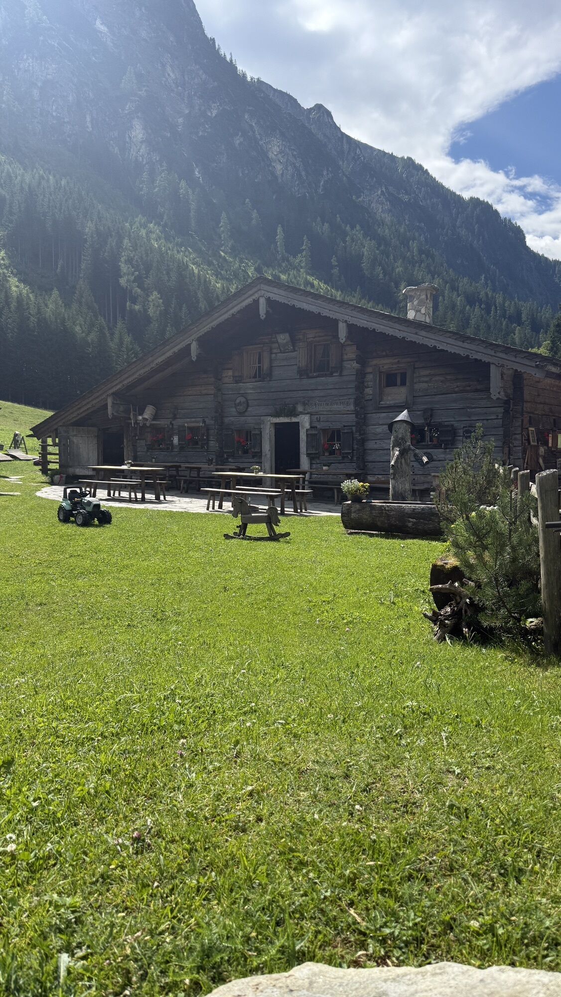
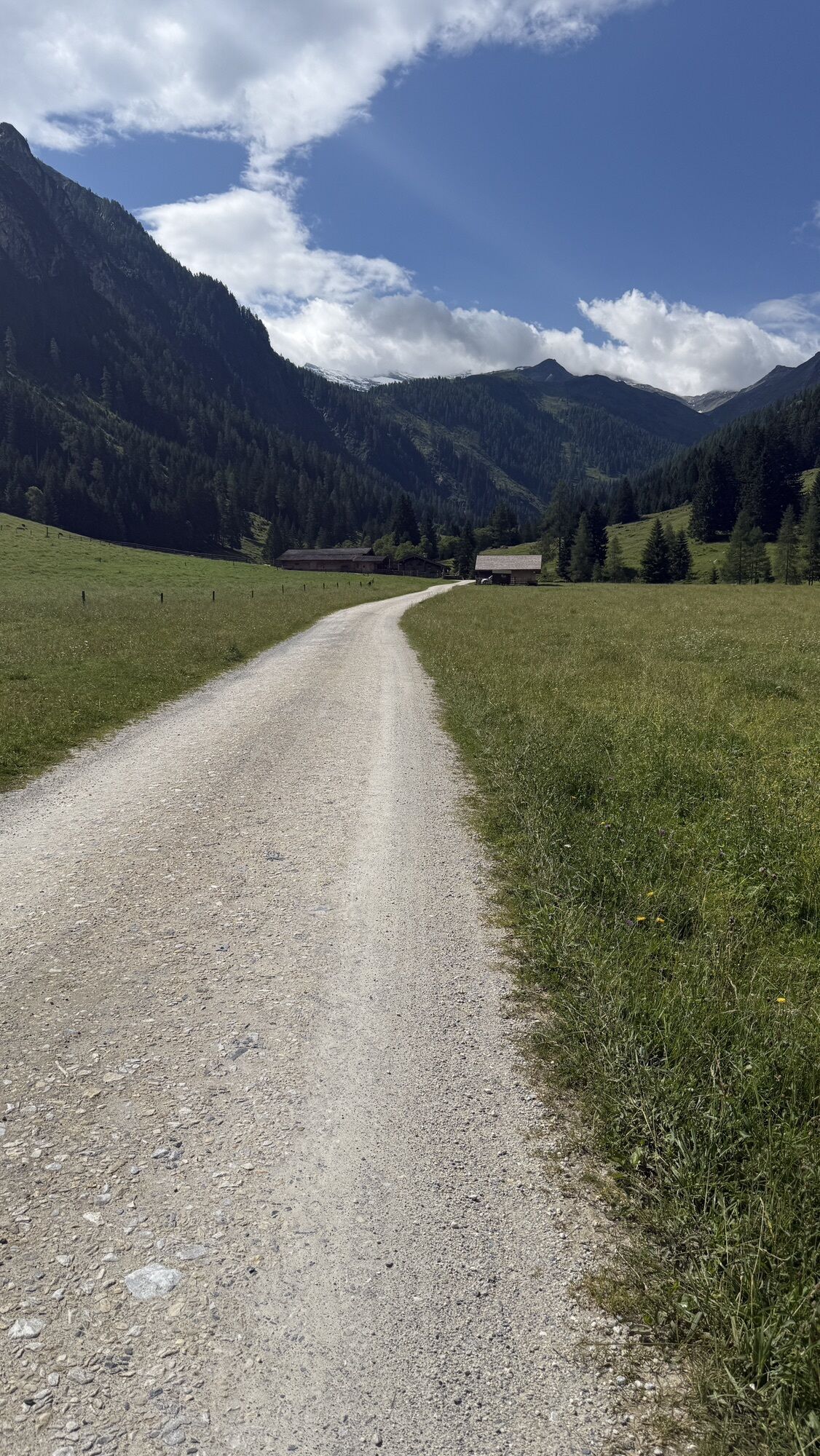
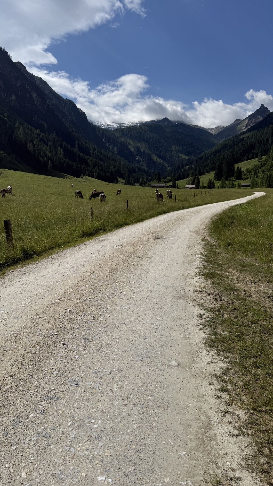
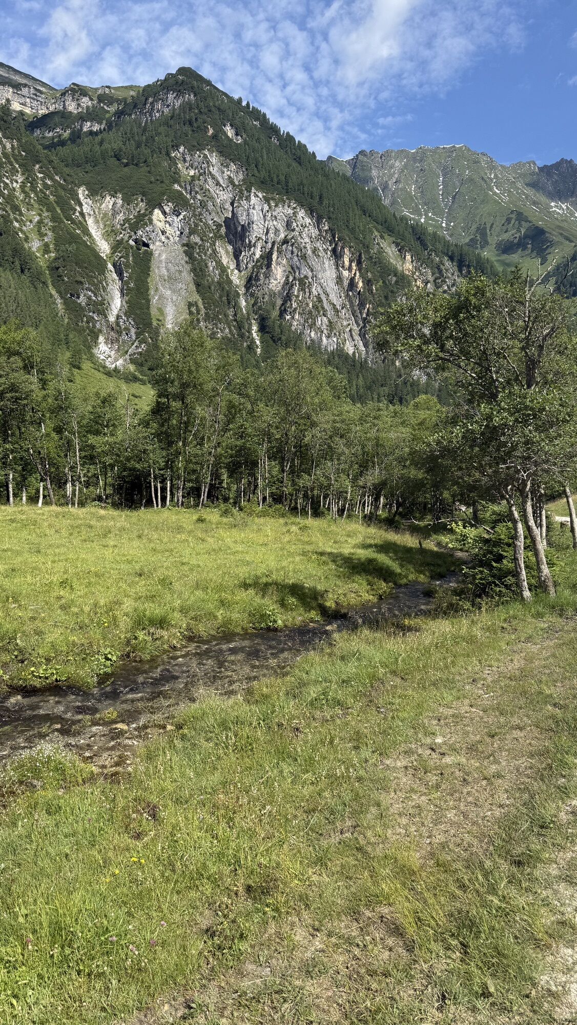
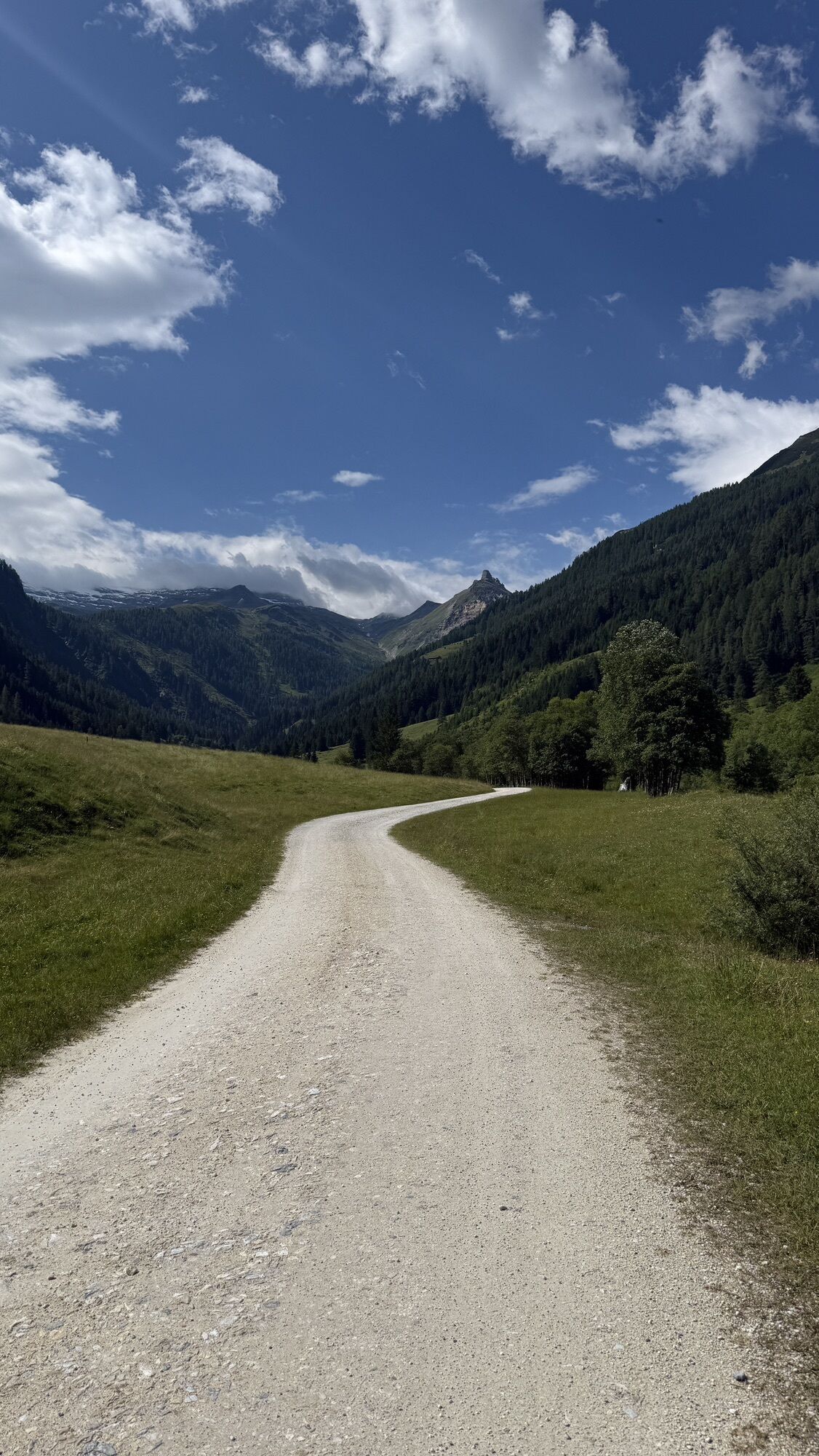
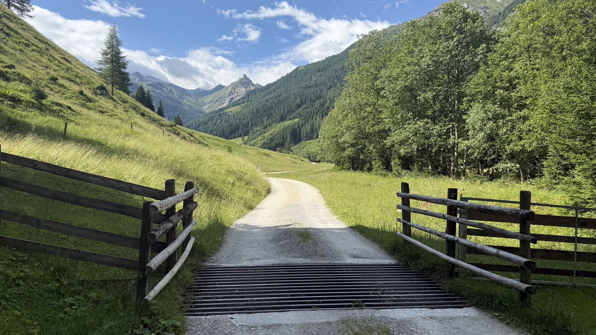

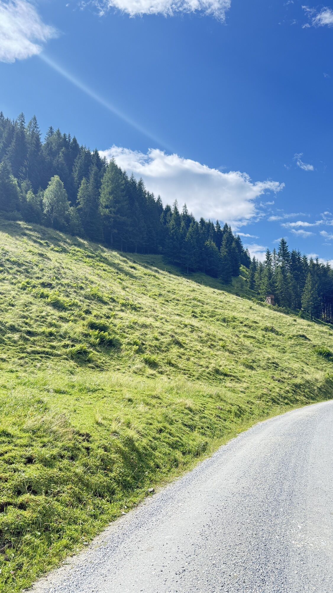
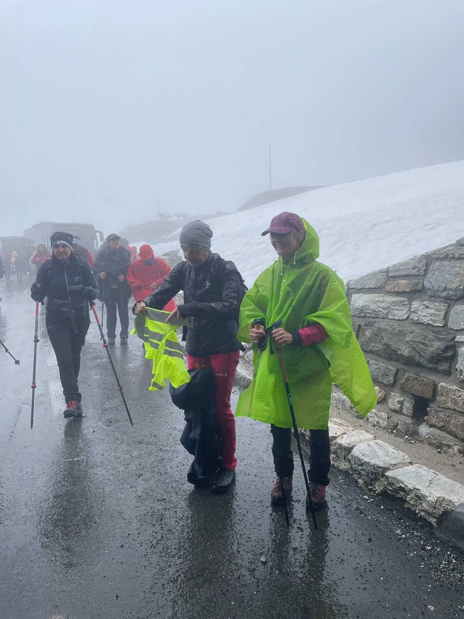
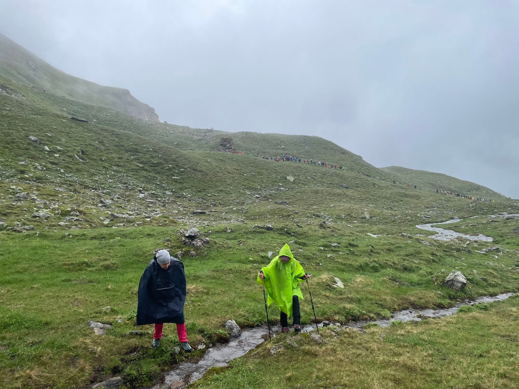
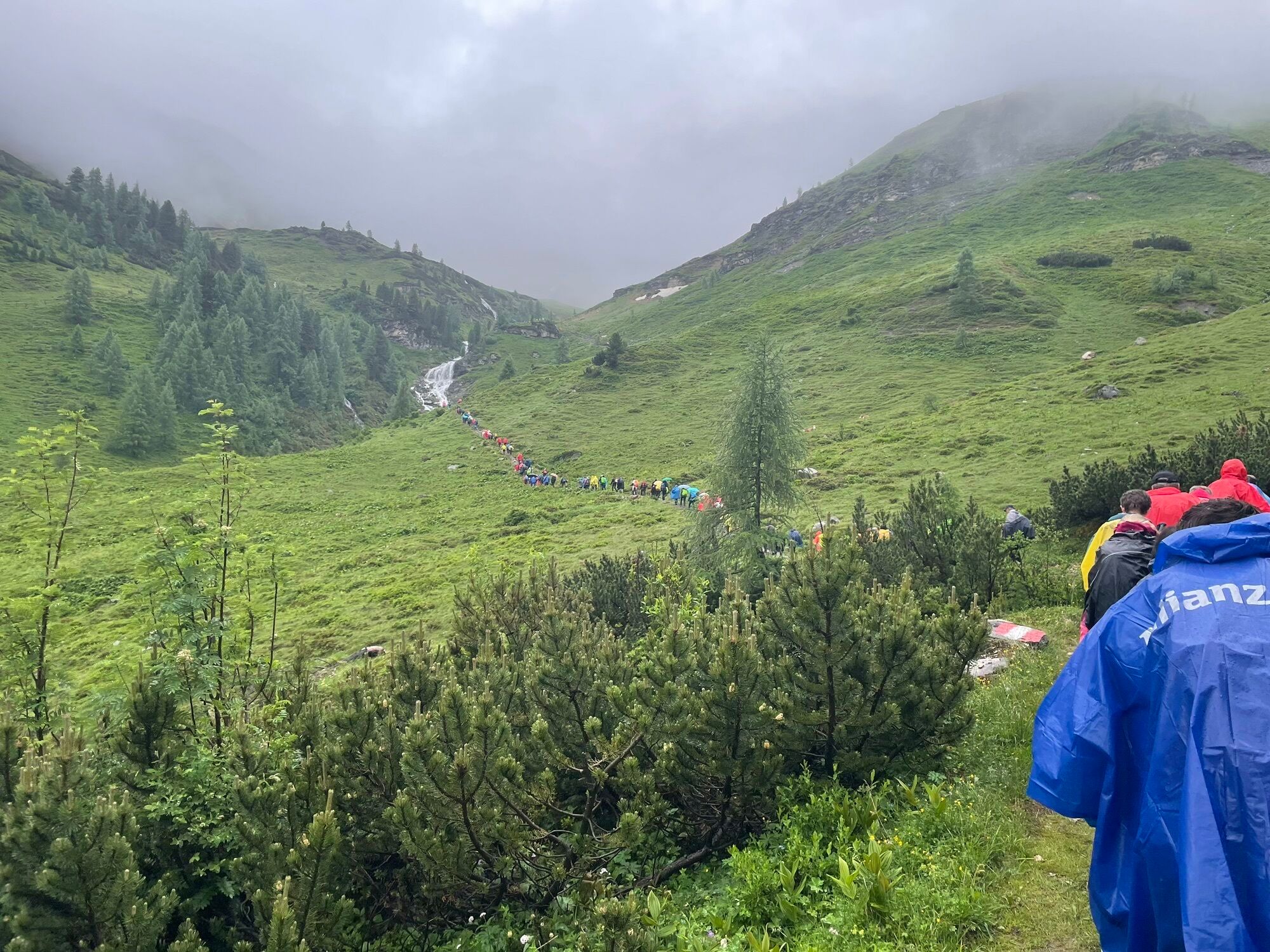
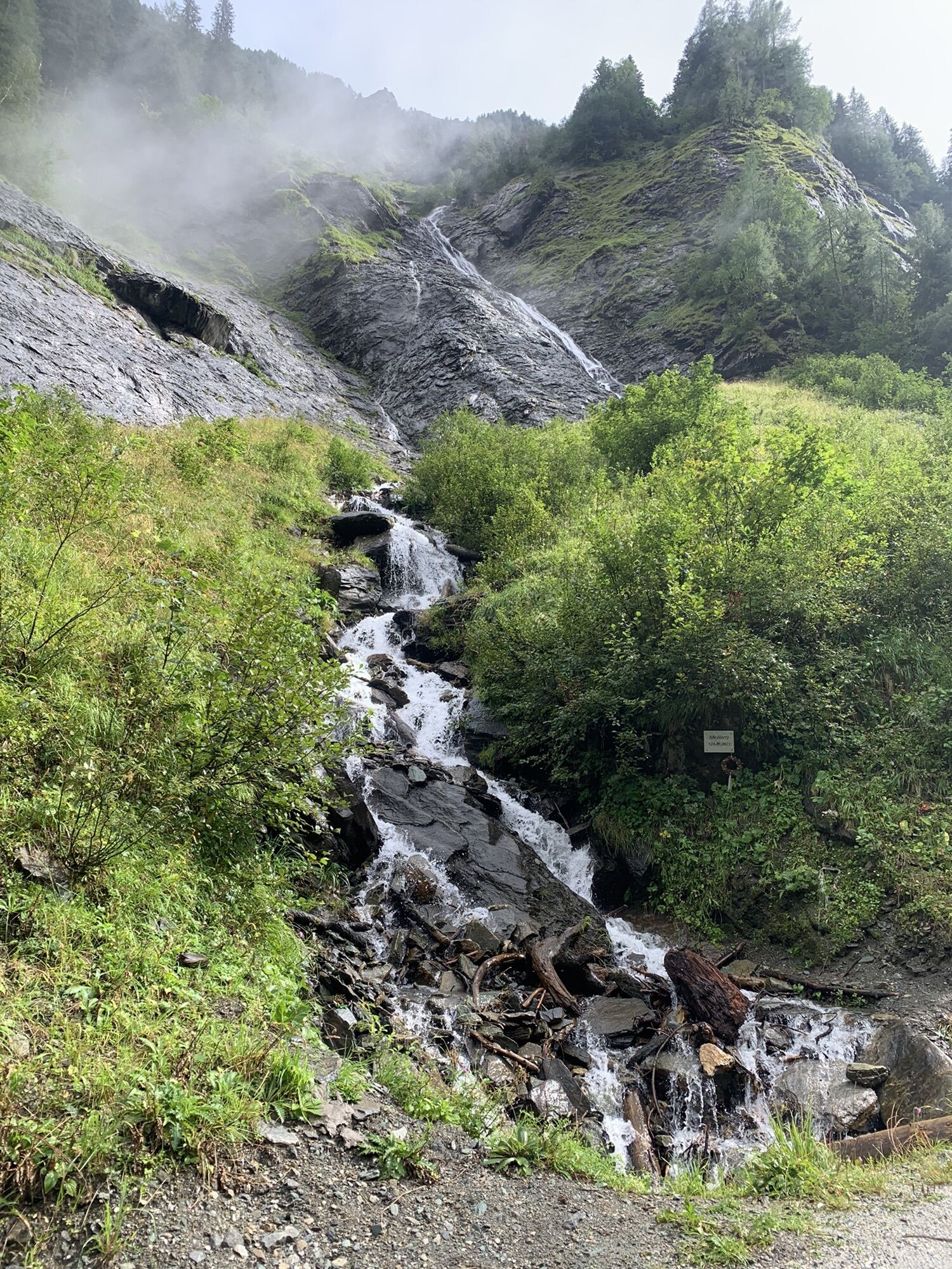
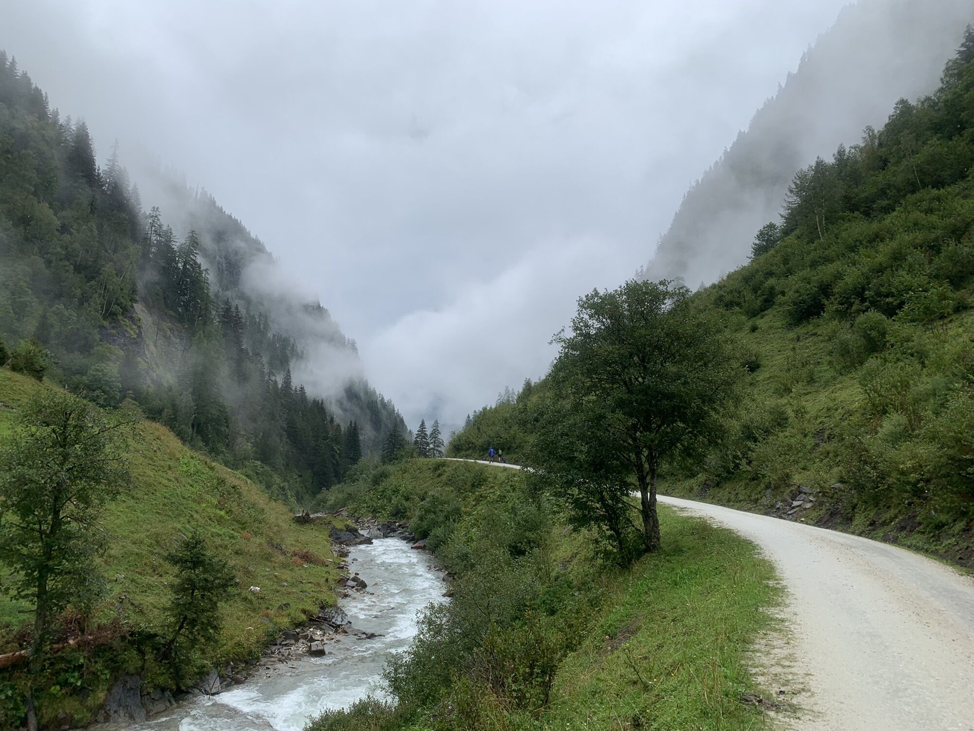
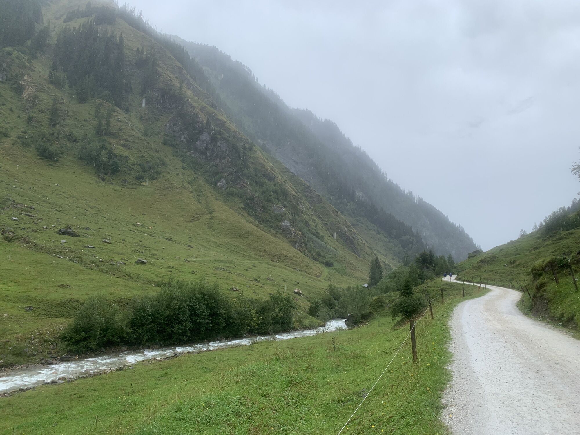
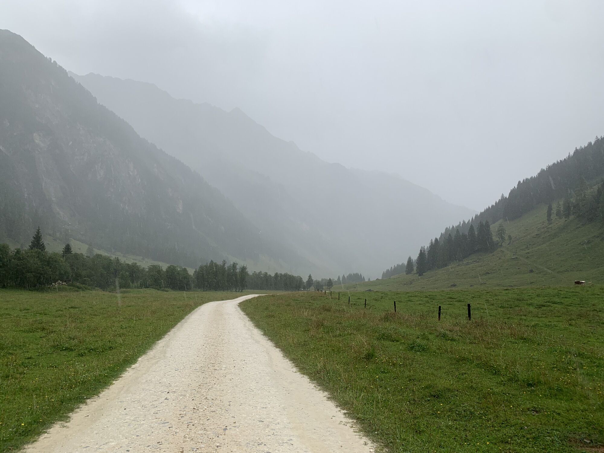
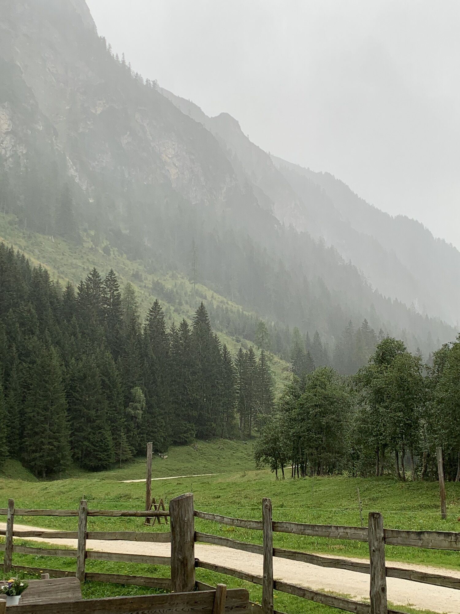
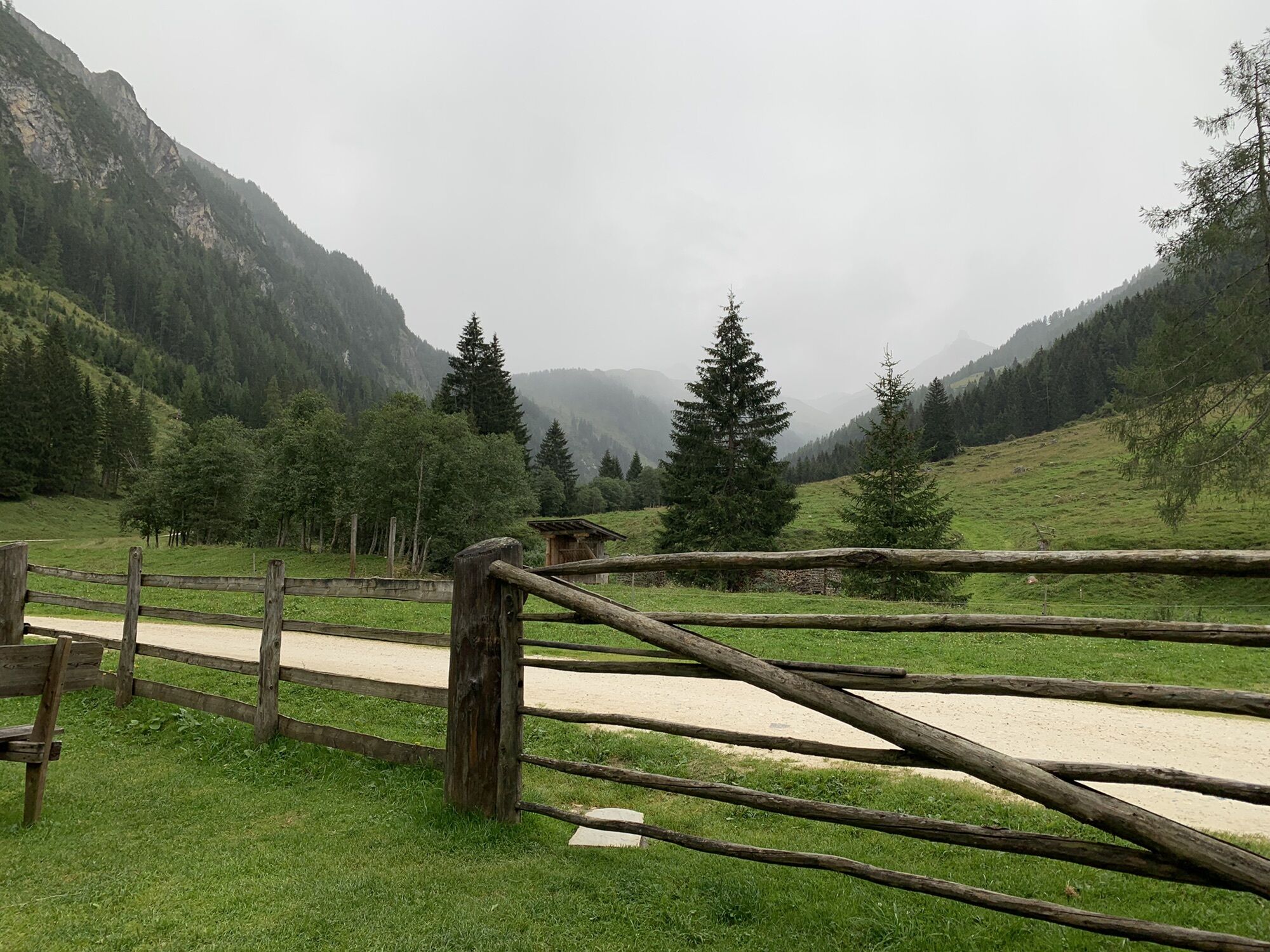
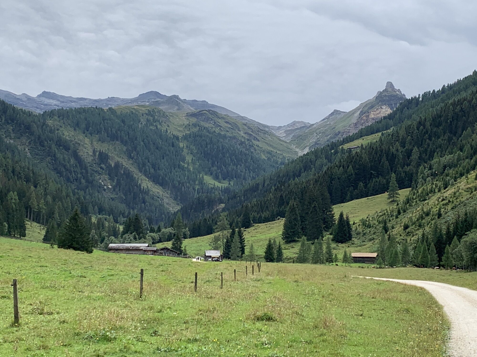
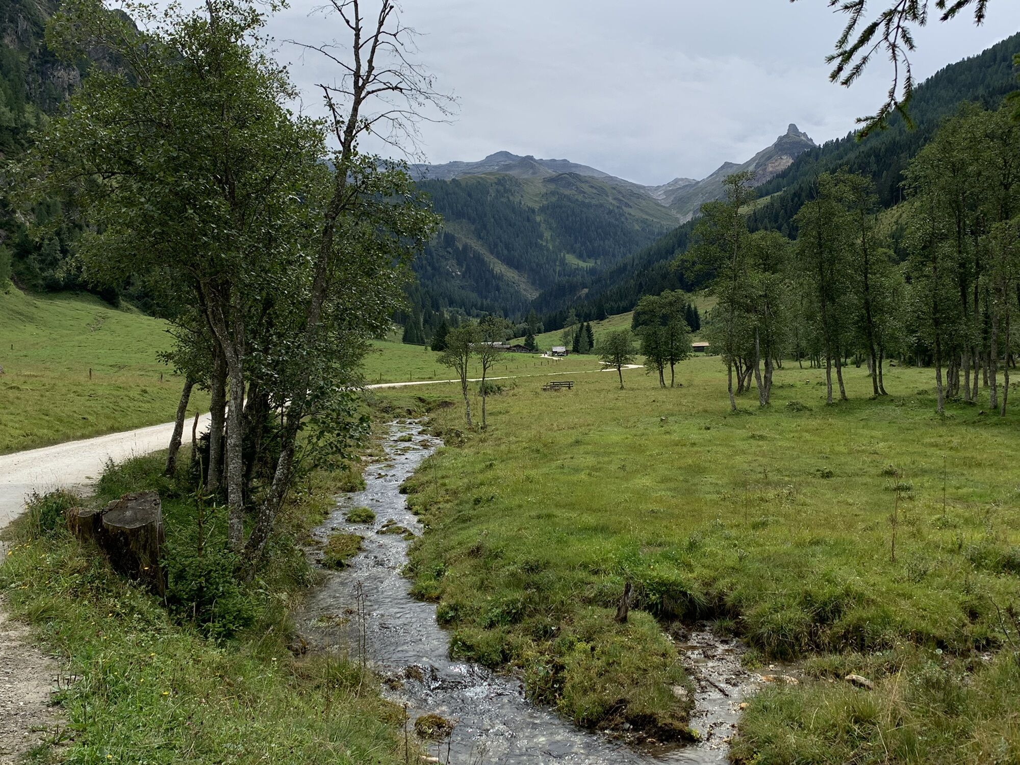
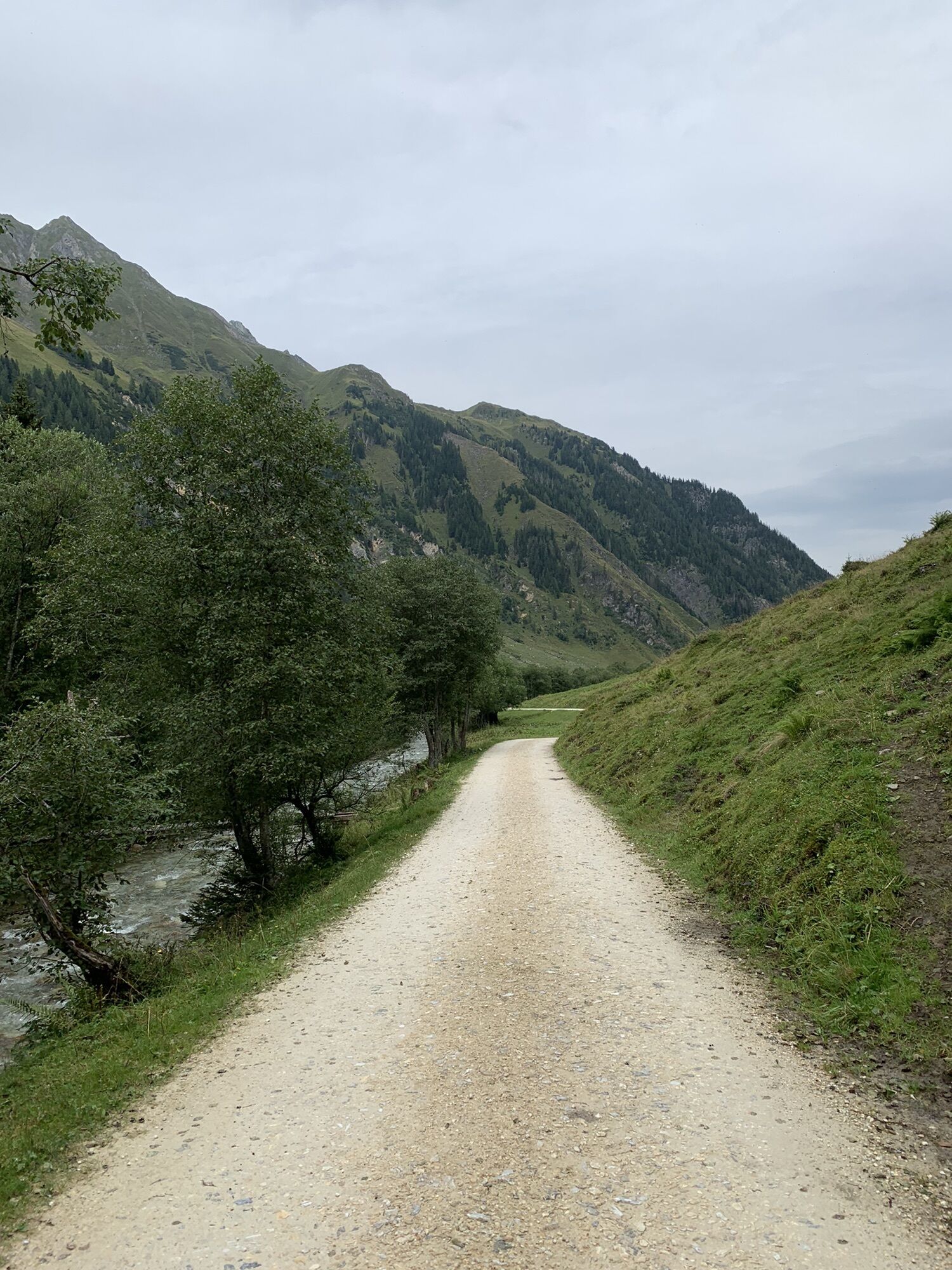
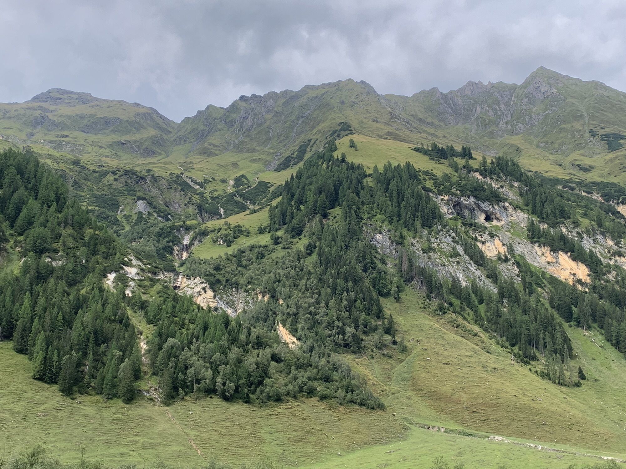
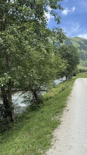
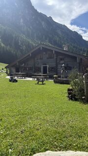
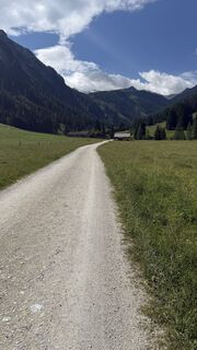
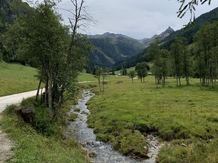
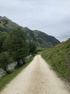
Starting from the Fleckweide parking lot, the initially easy forest road begins, the water information path. Past the alpine huts Gollehenalm (1,286 m) and Palfneralm (1,330 m), you hike about 3 hours...
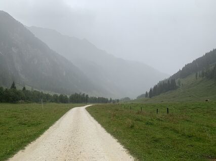
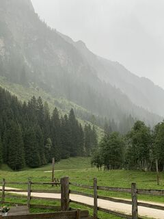
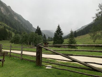
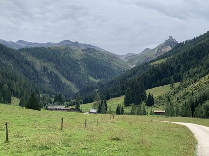
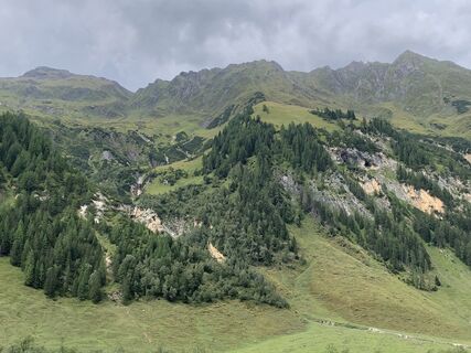
Starting from the Fleckweide parking lot, the initially easy forest road begins, the water information path. Past the alpine huts Gollehenalm (1,286 m) and Palfneralm (1,330 m), you hike about 3 hours to the more than 500 years old Tauernhaus (1,526 m). Here begins the initially easy forest path, which becomes moderate and steeper from the Litzlhofalm (1,727 m). After about 2 hours you reach the Hochtor (2,576 m) on the Großglockner High Alpine Road.

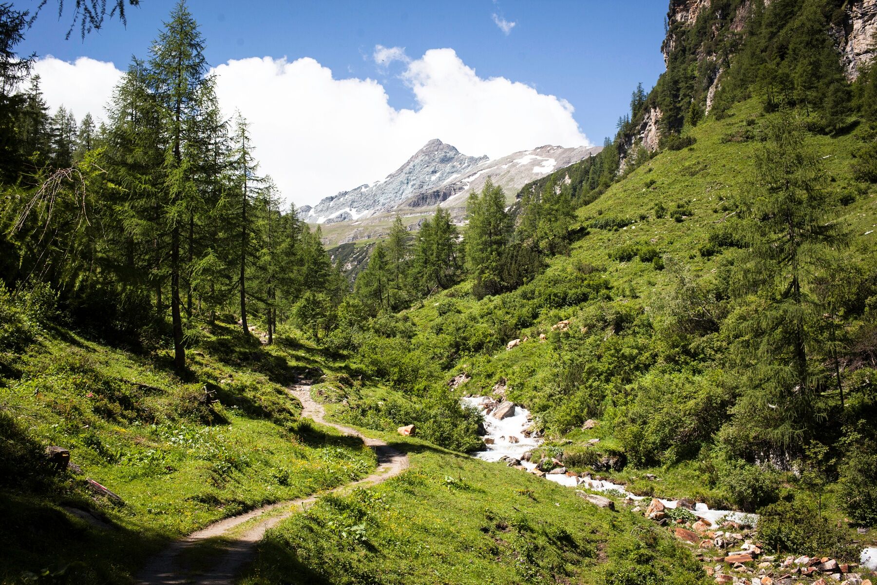
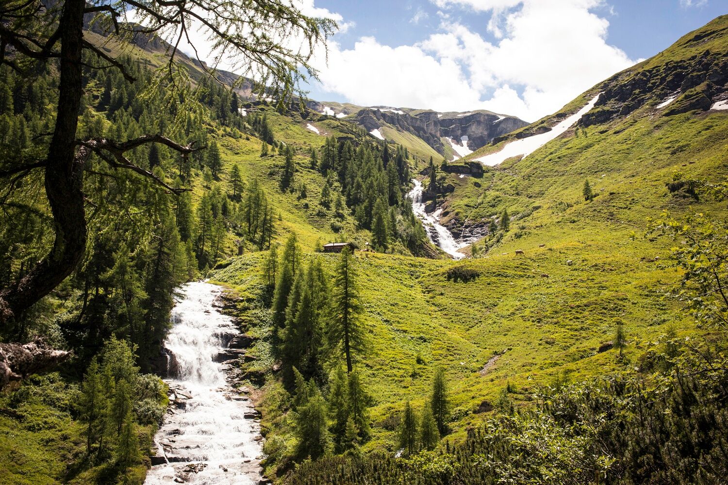
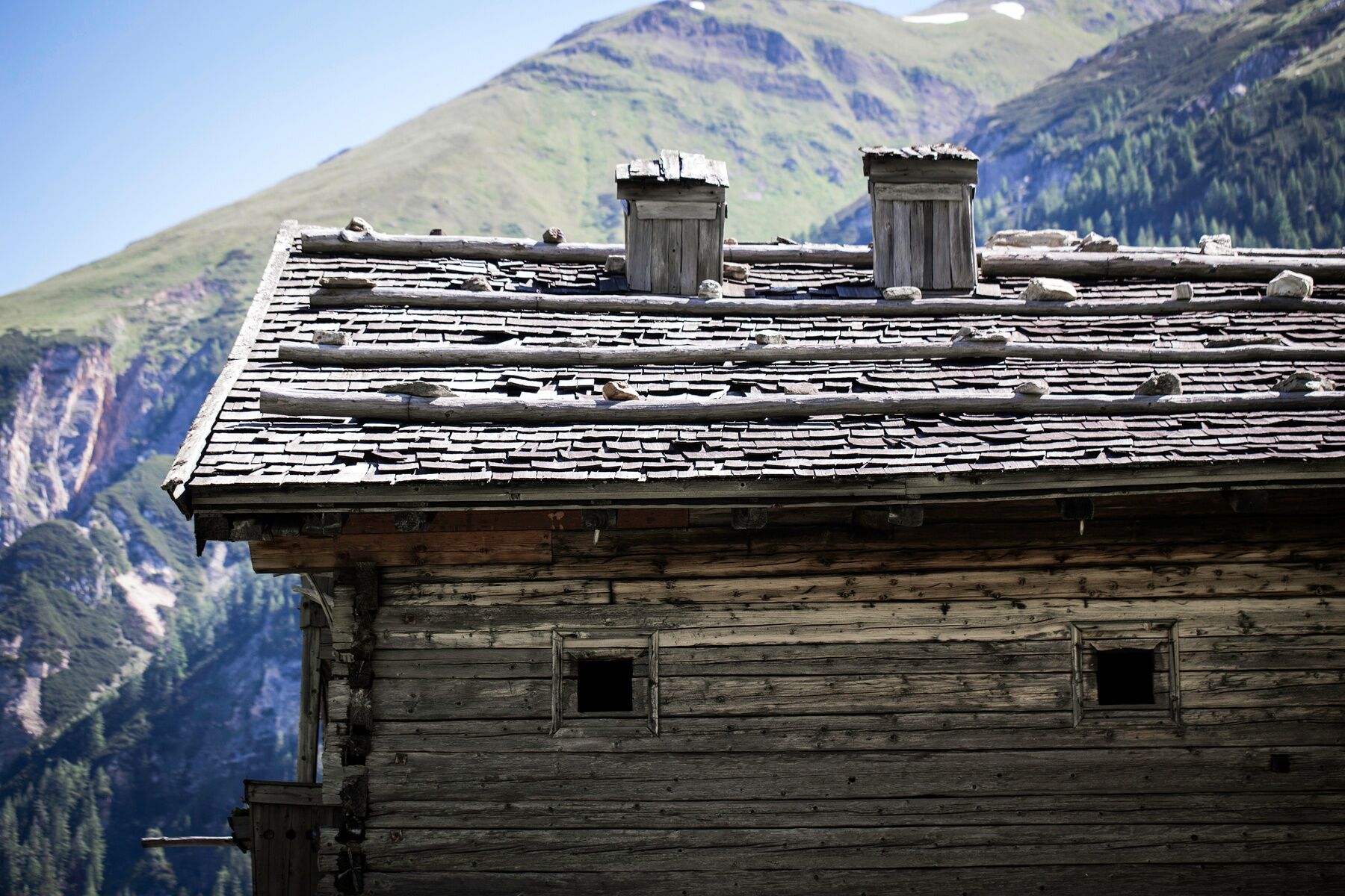

Parking Fleckweide - Gollehenalm - Palfneralm - Rauriser Tauernhaus - Litzlhofalm - Hochtor.
Tak
Sturdy footwear, poles, hiking equipment.
Above 2,000 meters these are high alpine hiking trails, partly still with a lot of snow and snowfields. Good high alpine experience and equipment are required for this route.
Via B311 to Rauris, via the bypass road to Wörth and further into the Seidlwinkl valley.
By post bus line 640 to Wörth or the valley bus to the Fleckweide parking lot or to the Rauriser Tauernhaus (June to September).
Parking available at Fleckweide parking lot (paid).
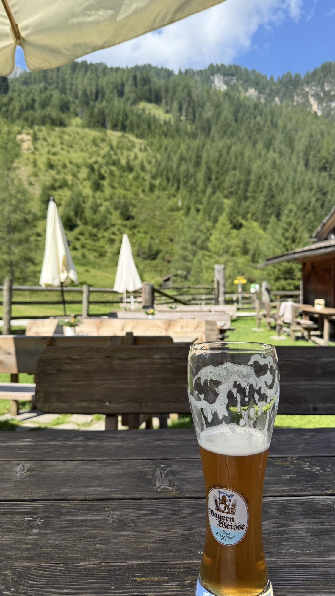
Refreshment possibilities at Gollehenalm, Palfneralm, the Rauriser Tauernhaus and Litzlhofalm. Descent like ascent or return by public transport from Großglockner to Rauris.
The hike can also be done from Hochtor through the Seidlwinkl valley to Rauris.
At the end of the Seidlwinkl valley, a pilgrimage walk takes place every year on June 28 for Peter and Paul. The pilgrimage route runs from the Rauriser Tauernhaus over the Hochtor to Heiligenblut.
Uzyskaj wgląd Zawsze na żywo z ponad 9 500 kamer internetowych. bergfex Jako użytkownik Pro, możesz teraz zobaczyć odpowiednie kamery internetowe dla wielu wycieczek w aplikacji wycieczki od. Pozwala to na bezpośredni podgląd aktualnych warunków. Popularne wycieczki w okolicy
- 4,7
Geotrail Tauernfenster
światłoWędrówka 5,90 km - 4,7
Hohe Sonnblick Up
ciężkiWędrówka 9,14 km - 5,0
Silberpfennig, Salzburger Land/Österreich
średniWędrówka 13,8 km - 4,5
Niedersachsenhaus
średniWędrówka 4,84 km - 3,9
Glacier Route to the Pasterze with Gamsgrubenweg (up to Tunnel 6)
średniWędrówka 8,05 km - 5,0
Rifflscharte - Kolmkarscharte - Bockhartscharte - Sportgastein
średniWędrówka 13,5 km - 4,9
Kaiser-Franz-Josefs-Höhe to Oberwalderhütte
ciężkiWędrówka 5,52 km - 4,9
Großes Wiesbachhorn 3564 mnv Kaprun, Austrija
ciężkiWędrówka 13,4 km - 3,9
Großglockner Hochalpenstrasse
ciężkiJazda na rowerze 20,2 km - 5,0
Türchlwand von der Bergstation Schlossalmbahn Bad Hofgastein, Österreich
średniWycieczki górskie 7,05 km
Wędrówki i tropienie


Nie przegap ofert i inspiracji na następne wakacje
Twój adres e-mail została dodana do listy mailingowej.





