Nawigacja
Pobierz tę trasę na swój telefon komórkowy
Mapa
Lots of cool water: Gaissteig and Innersbachklamm

światło
Wędrówka
6,81 km
Zeskanuj kod QR i rozpocznij nawigację w aplikacji bergfex.
QR Code
Wędrówki i tropienie
Pobierz dla iOS
Pobierz dla systemu Android

Lots of cool water: Gaissteig and Innersbachklamm
światło
Wędrówka 4,8
Odległość
6,81 km
Czas trwania
02:05 h
Ascent
79 hm
Poziom morza
538 - 609 m
Ścieżka do pobrania
Mapa
Lots of cool water: Gaissteig and Innersbachklamm
światło
Wędrówka
6,81 km

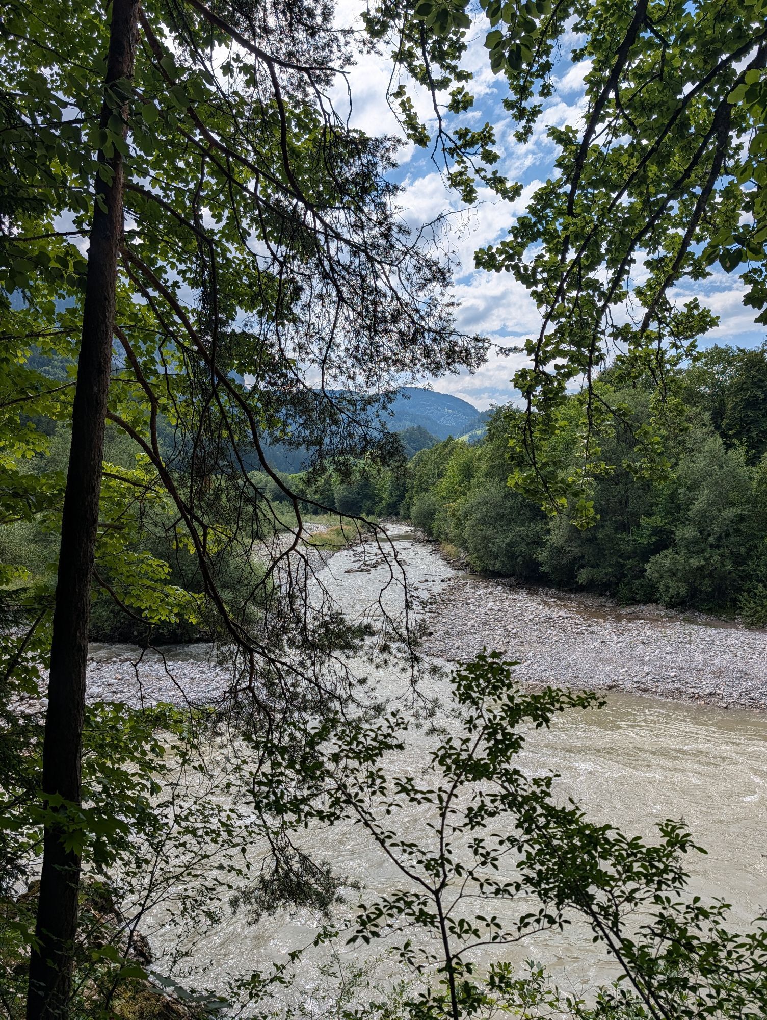
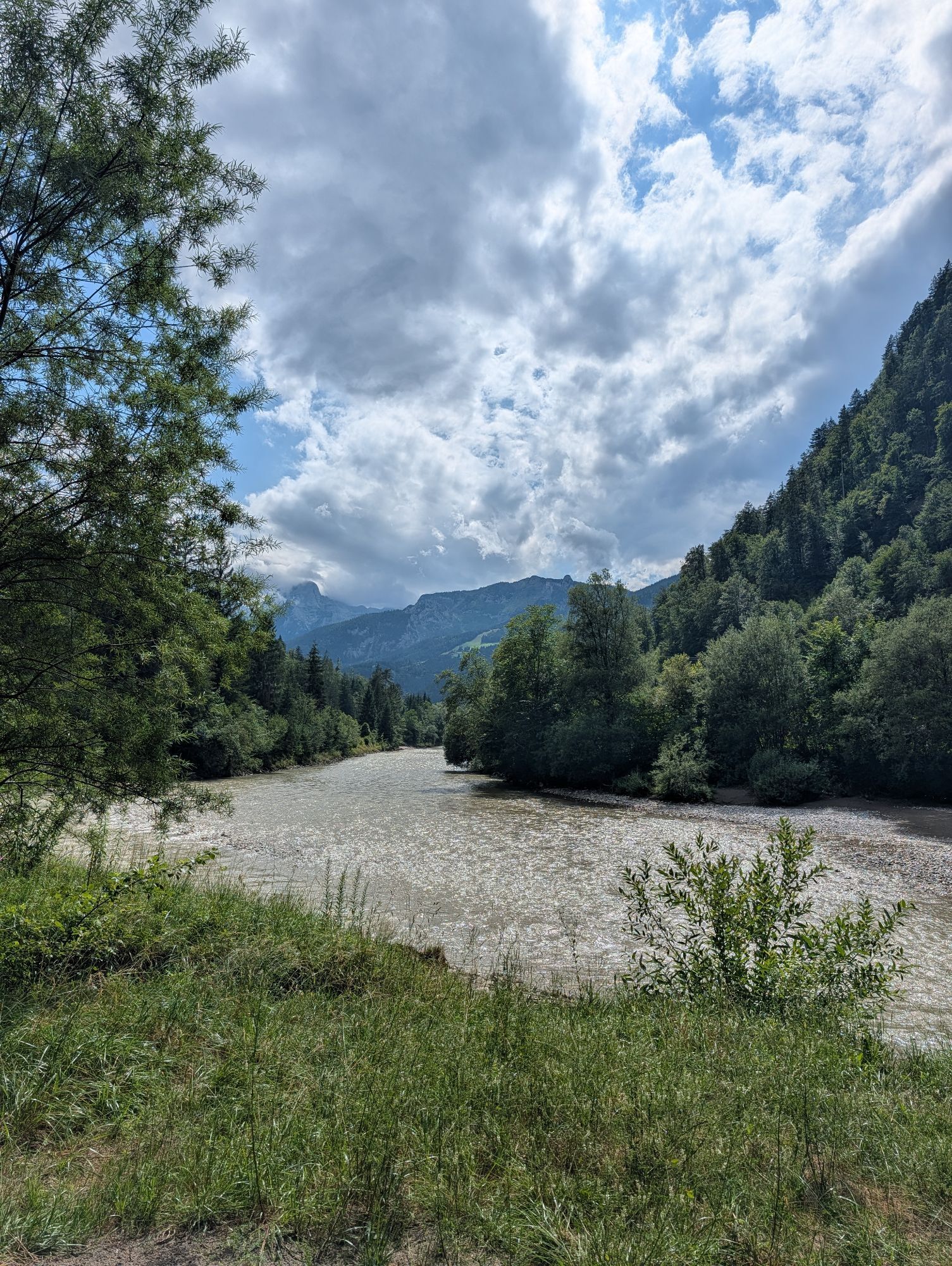
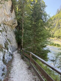
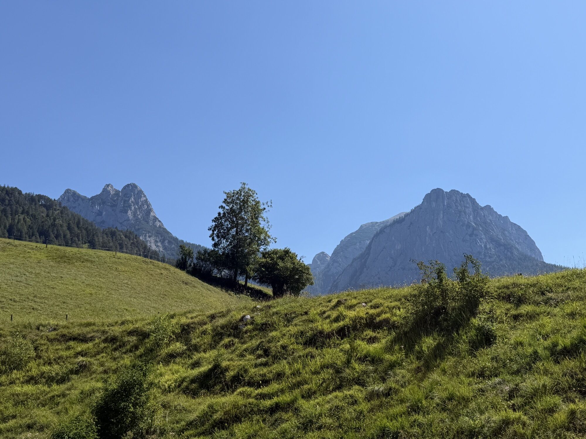
Condition: The hike runs mostly flat along the Saalach. The total hiking time for just under 7 kilometers is about 2 hours.

In brief: The hike initially follows well-developed hiking paths from Unken over...

Opis

Condition: The hike runs mostly flat along the Saalach. The total hiking time for just under 7 kilometers is about 2 hours.

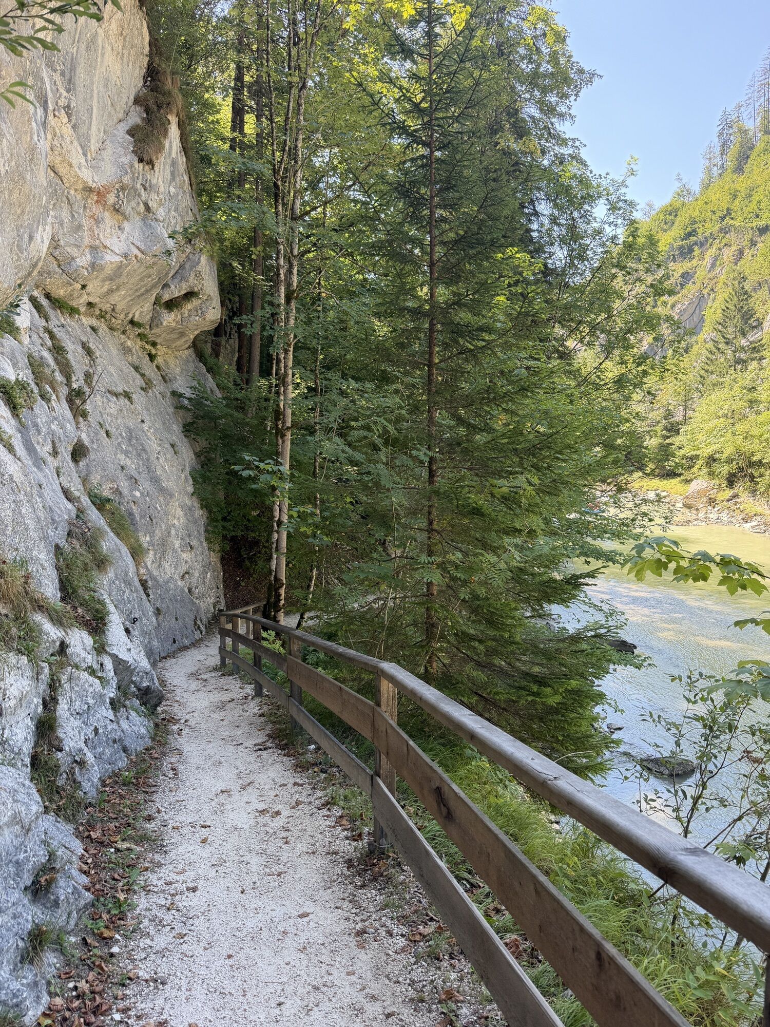
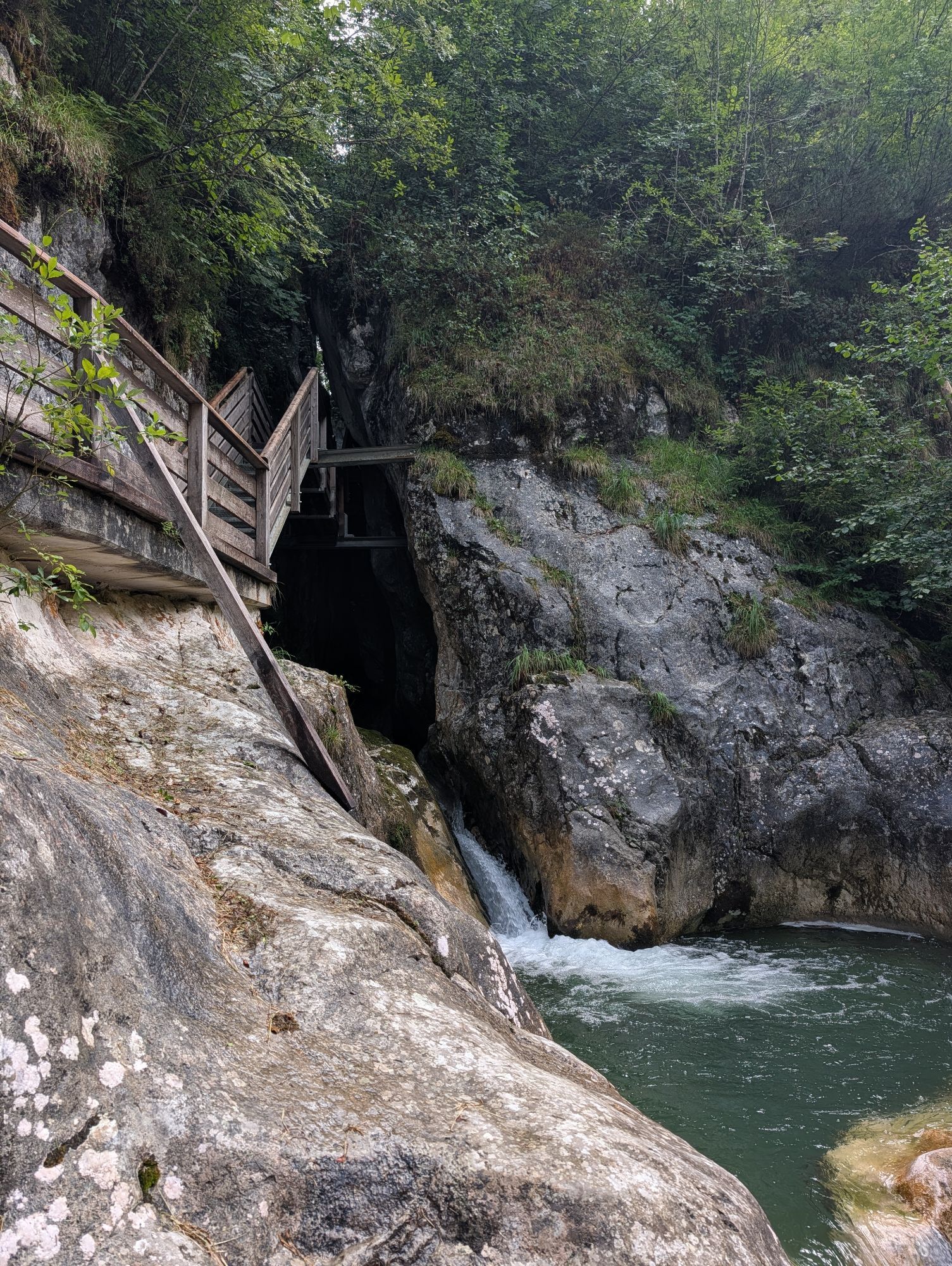
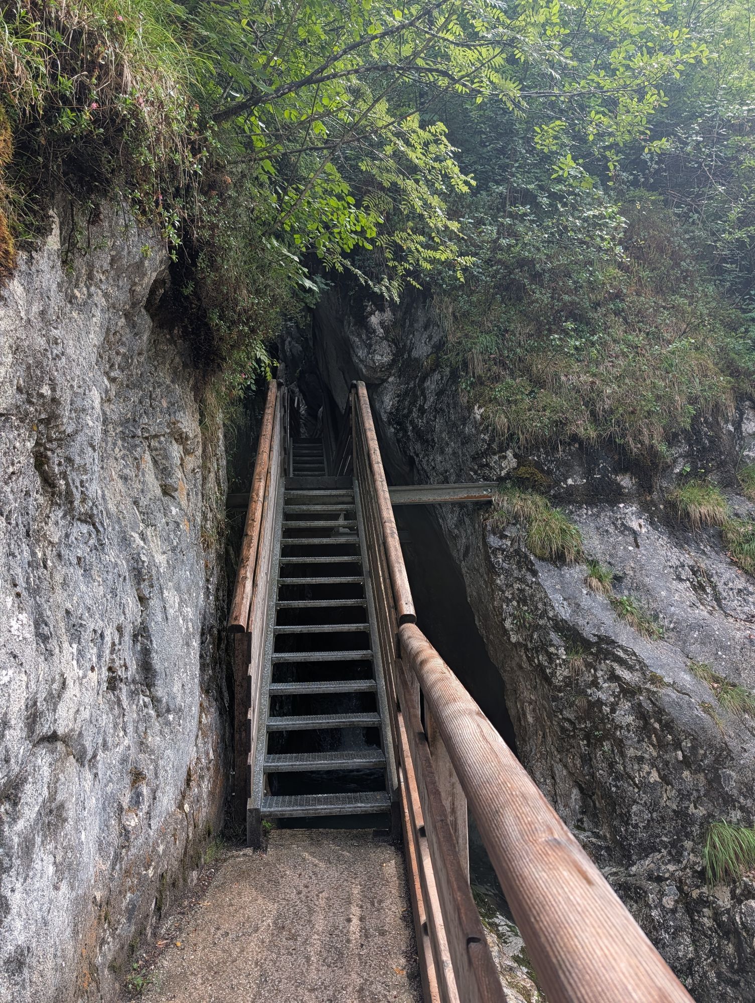
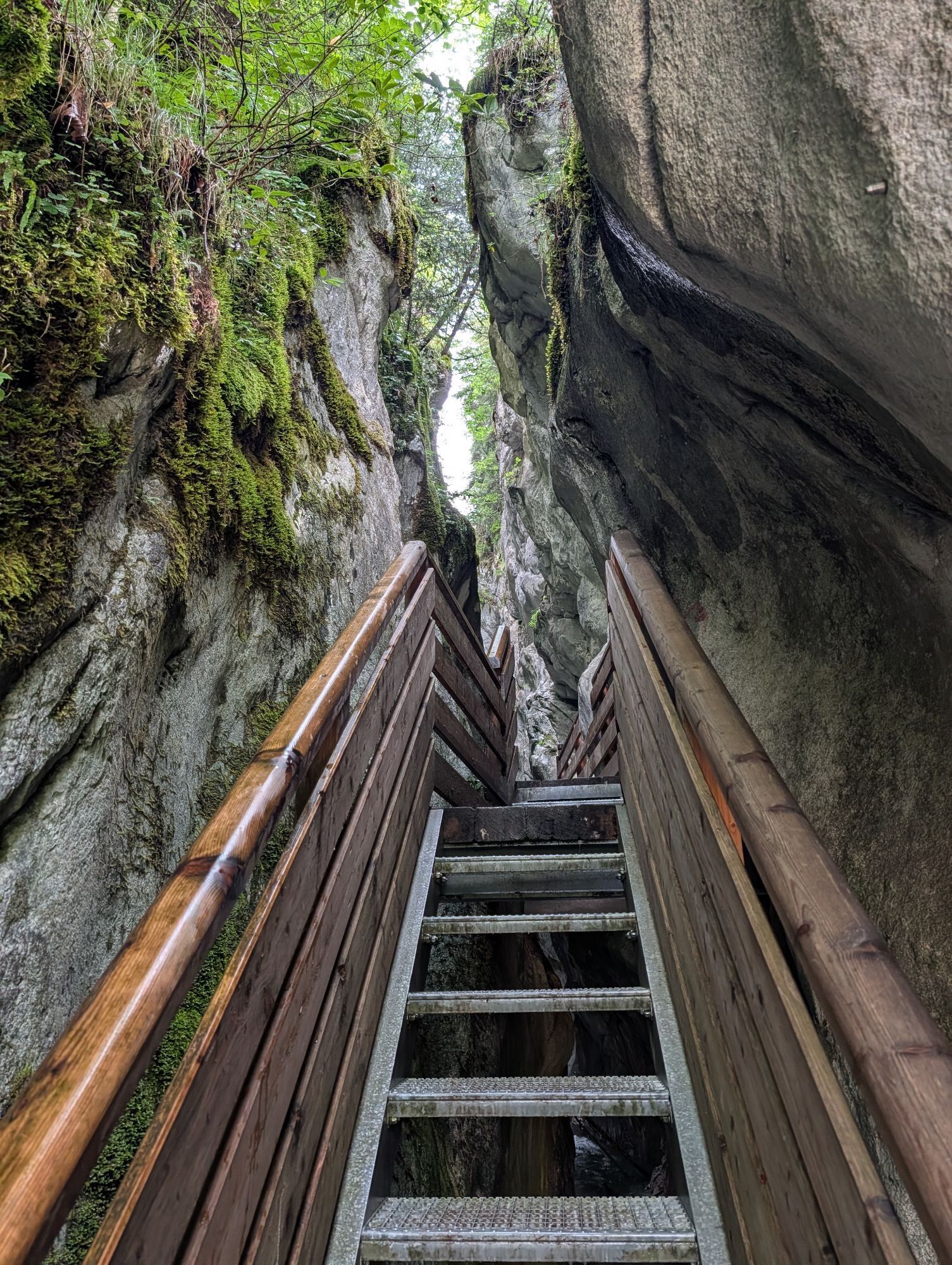
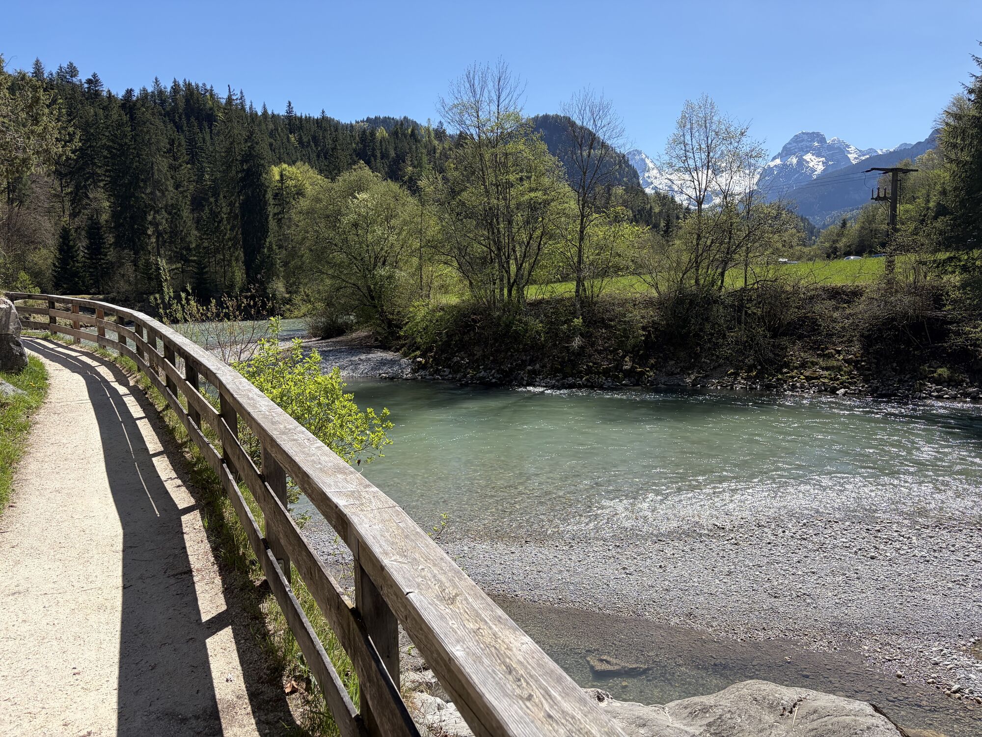
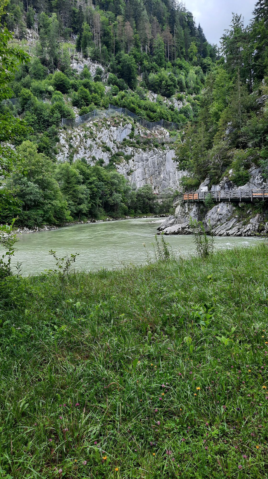
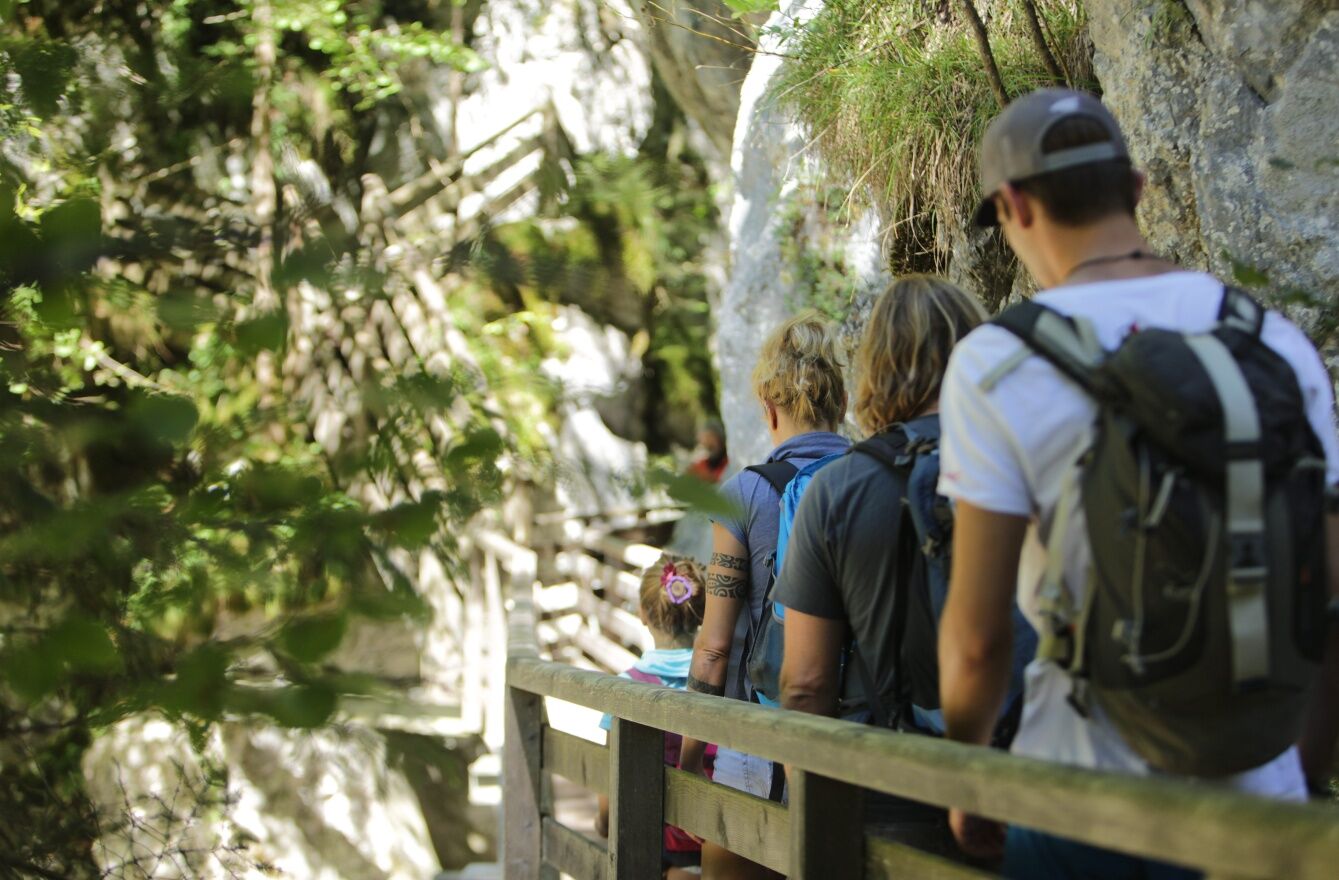
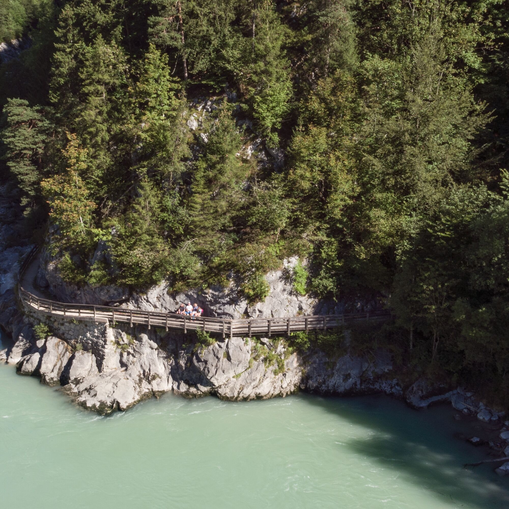
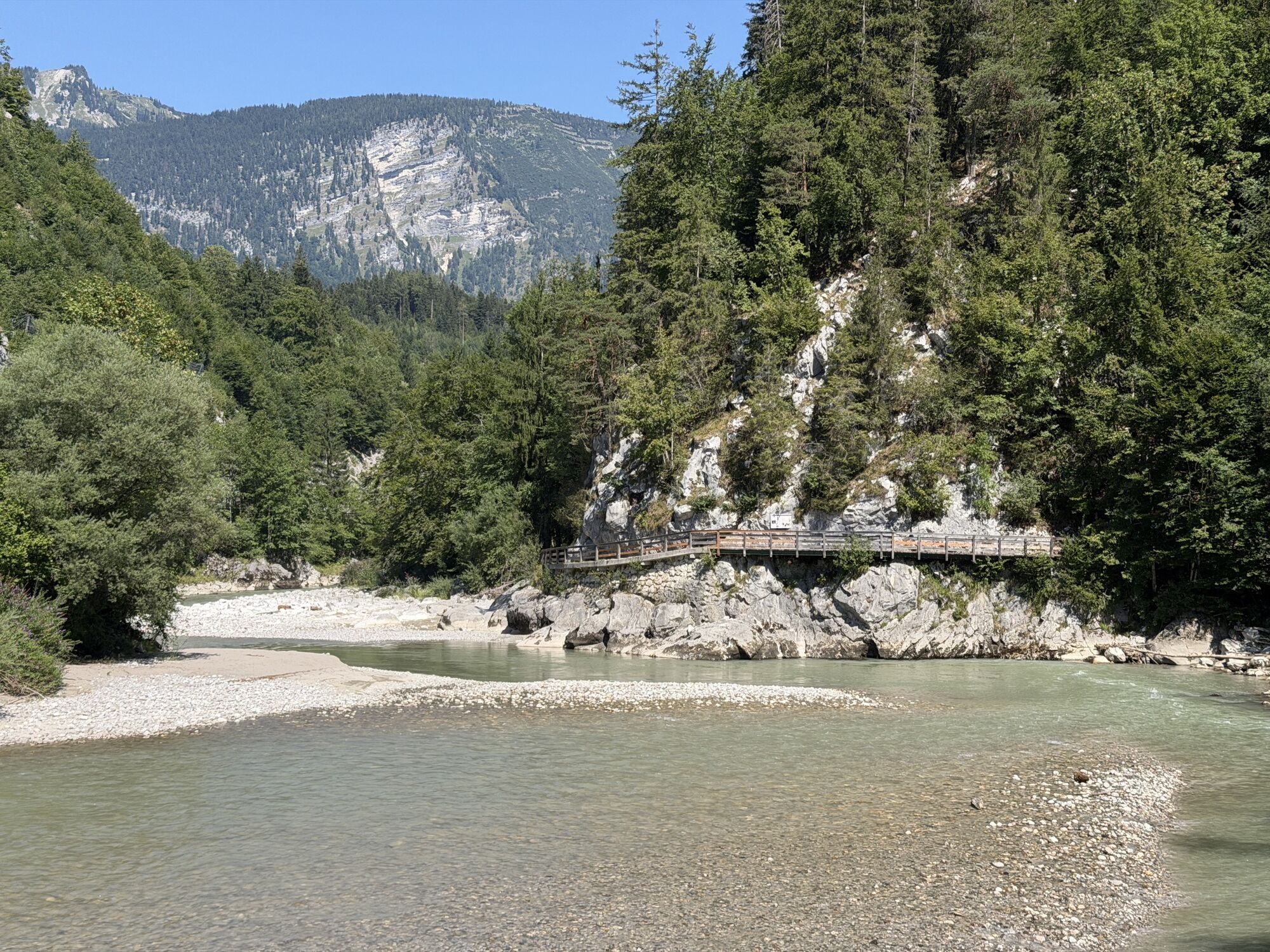
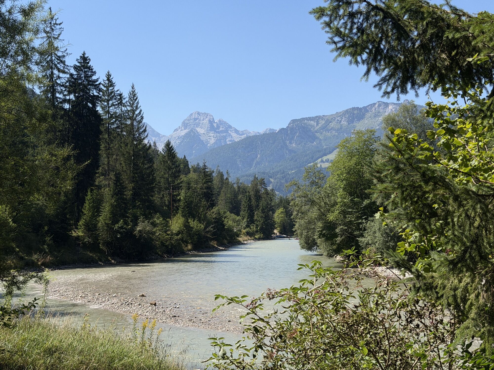
In brief: The hike initially follows well-developed hiking paths from Unken over the Gaissteig along the Saalach to Reith. Some boardwalks with steps need to be mastered through the Innersbachklamm. After a short loop in Reith, it goes back via the same route to Unken. There are dining options at the "Vitaloase Drei Brüder" in Reith, the Landhotel Schütterbad at the beginning of the Gaissteig, or other local places in the village center of Unken. 

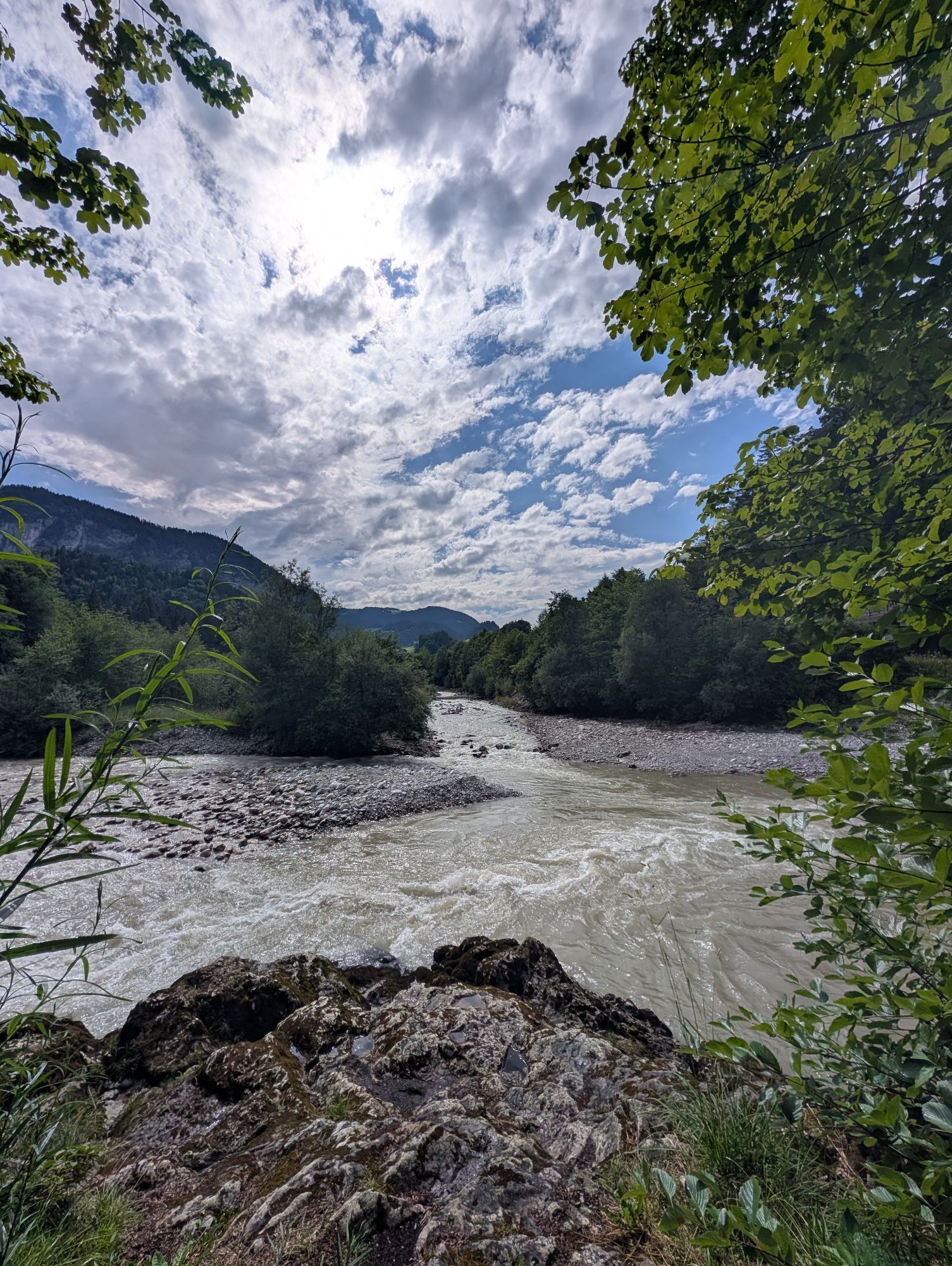
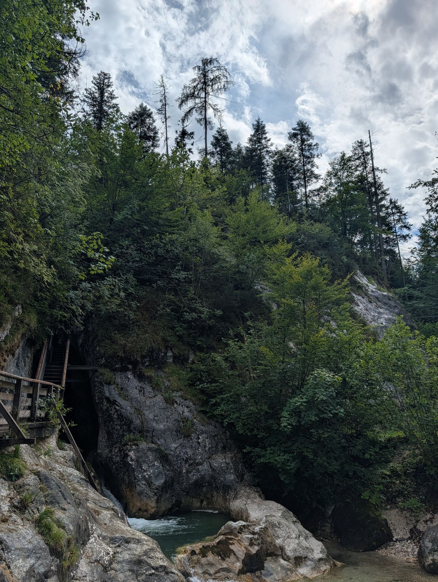
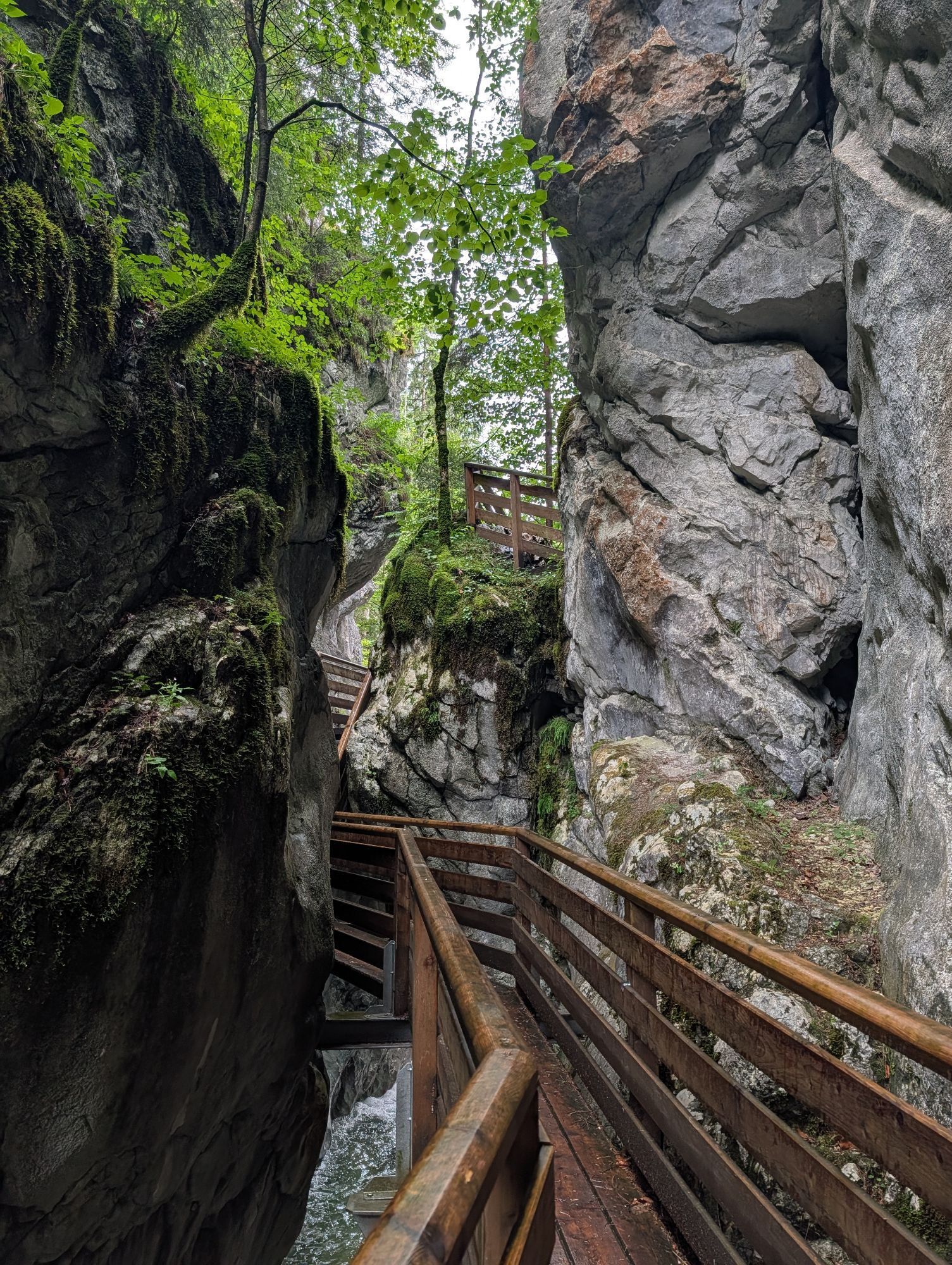
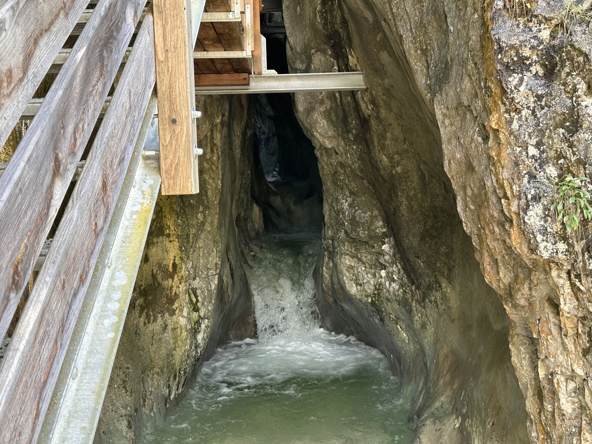
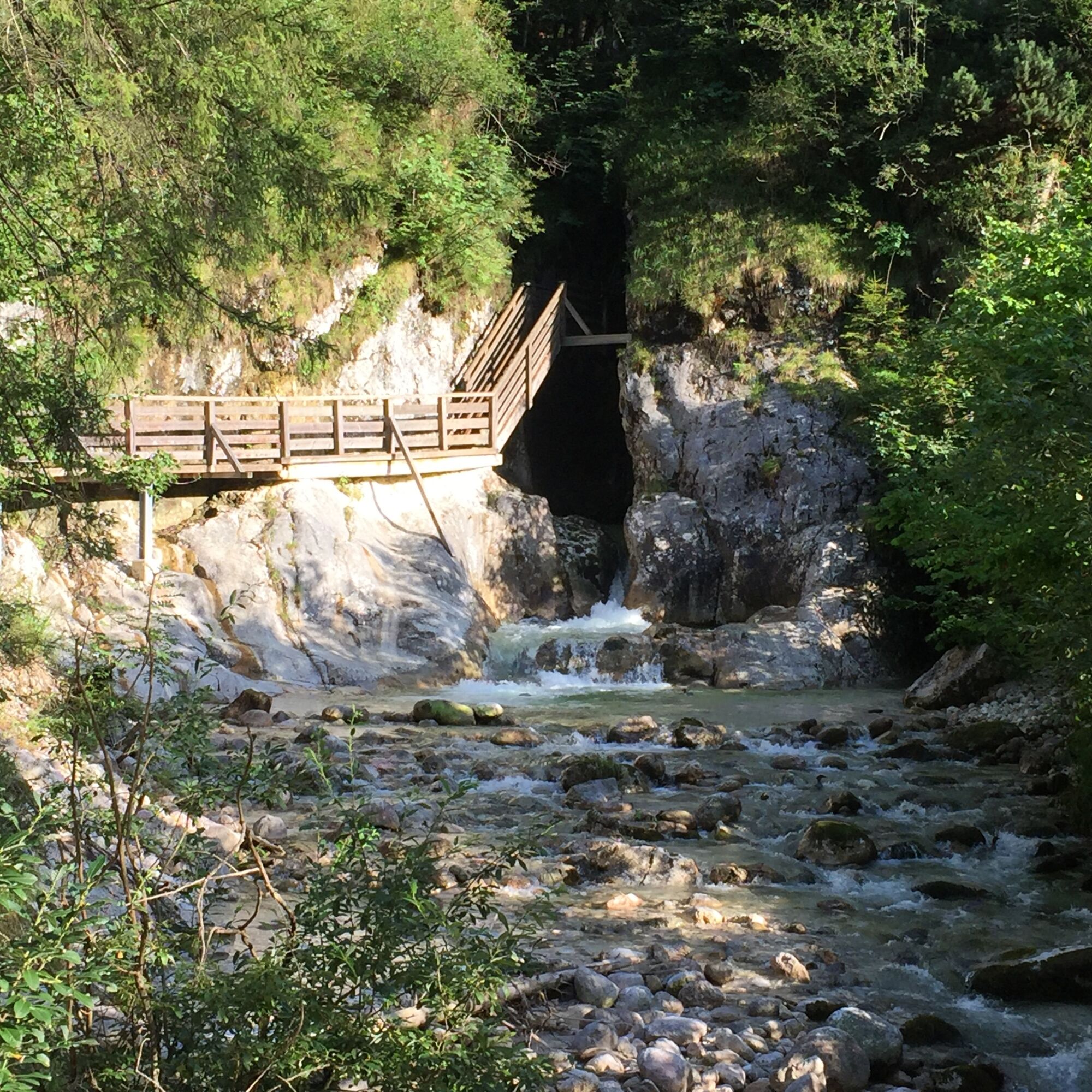
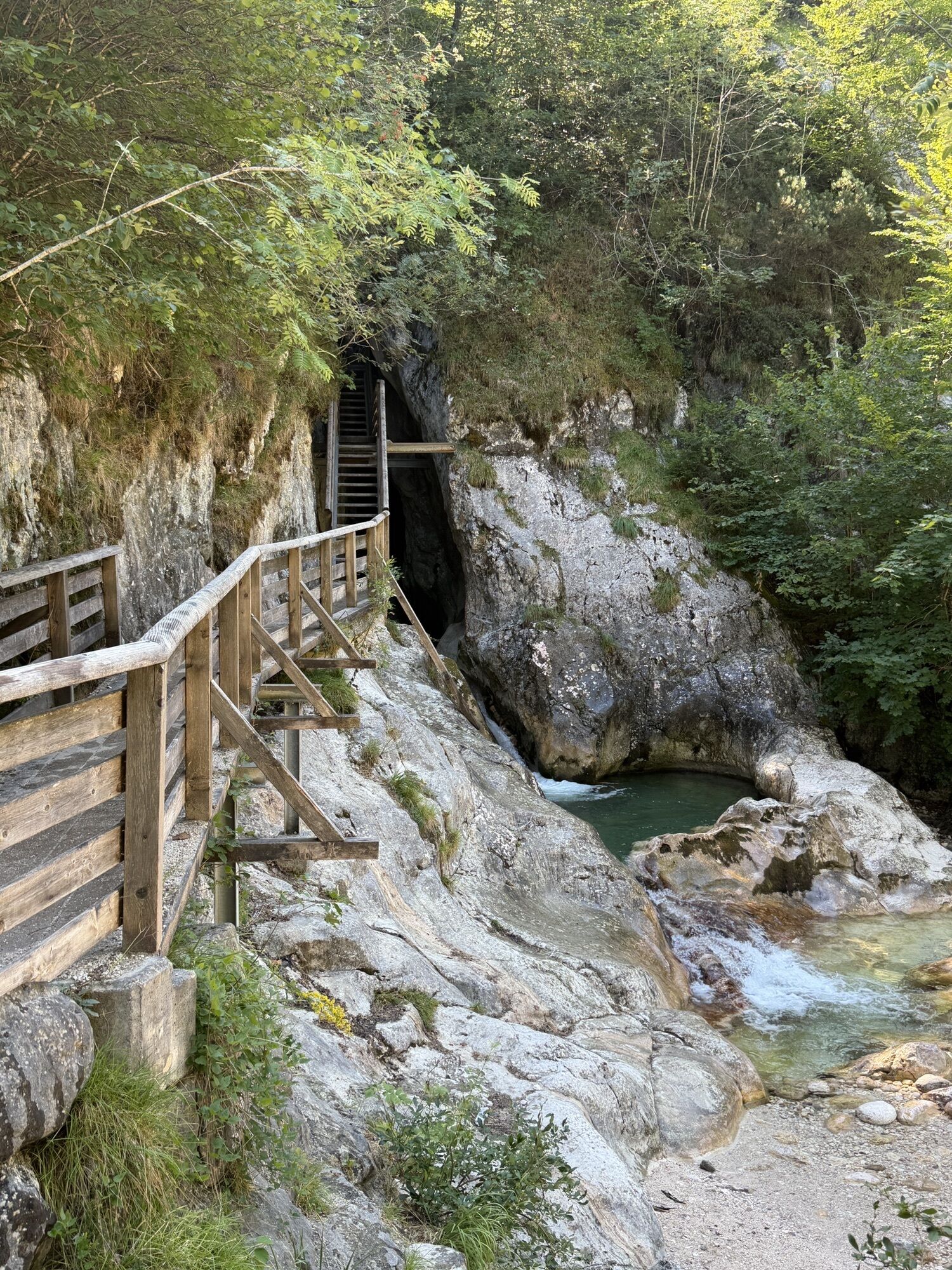
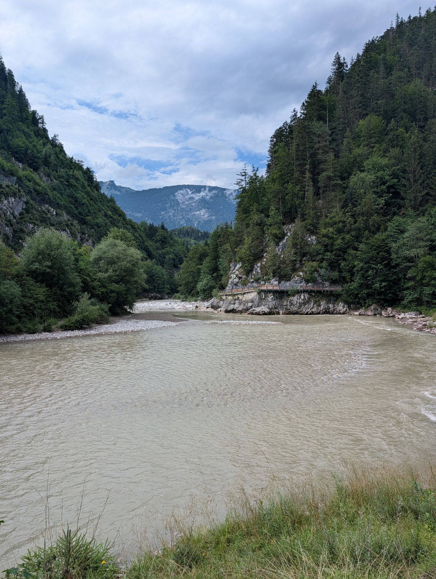
Tour Highlights: The Innersbachklamm in Reith at the halfway point of the tour as well as the cooling opportunities at the wild swimming spots Gaissteig and Innersbachklamm.

The tour is part of the “Hiking with Kids” in the Salzburger Saalachtal. Duration and difficulty are designed for children/families.

Trasa
Unken
(543 m)
Wioska
0,0 km
Löwenquelle
(550 m)
Źródło
0,9 km
Naturhotel Schütterbad
(553 m)
Restauracja
1,2 km
Unken
(543 m)
Wioska
6,7 km
Trasa
Mapa
Lots of cool water: Gaissteig and Innersbachklamm
światło
Wędrówka
6,81 km
Unken
(543 m)
Wioska
0,0 km
Löwenquelle
(550 m)
Źródło
0,9 km
Naturhotel Schütterbad
(553 m)
Restauracja
1,2 km
Naturhotel Schütterbad
(553 m)
Restauracja
5,6 km
Löwenquelle
(550 m)
Źródło
5,8 km
Unken
(543 m)
Wioska
6,7 km
Informacje o wycieczce

From Unken over the Gaissteig and through the Innersbachklamm to Reith. Back via the Klebertal and again the Gaissteig to Unken.

Technologia
n.d.
Stan
2 / 6
Krajobraz
5 / 6
Doświadczenie
3 / 6
Najlepsza pora roku
Sty
Lut
Mar
Kwi
Maj
Cze
Lip
Sie
Wrz
Paź
Lis
Gru
Udostępnij trasę
Mapa
Lots of cool water: Gaissteig and Innersbachklamm
światło
Wędrówka
6,81 km
Błąd
Wystąpił błąd. Spróbuj ponownie.
Ostatnio śledzony 2 tygodnie temu
Informacje o trasie
Trasa
From the hiking start point in the village center of Unken, cross the federal road – past the Dornauer butcher shop and over the bridge to the other side of the river. Follow the Saalach upstream to the Landhotel Schütterbad. Pass this on the left and go over the Gaissteig towards Reith. A special highlight is crossing the Innersbachklamm shortly before Reith. Here, either go a short way to the right to the Drei Brüder restaurant or along the road to the left. Shortly after the "Reith swimming pool," turn left into the Klebertal. The path leads into the Gaissteig, where you hike back the first section of the route in the opposite direction.

Alternative: From Reith, you can also walk to the federal road and take the Line Bus 260 (free with the Salzburger Saalachtal Card) back to Unken. This shortens the walking time of the route by half.
Najważniejsze informacje geologiczne

Tak

Odpowiedni dla rodzin

Tak

Sprzęt

In addition to a water bottle, we recommend sturdy footwear, warm clothing and rain protection, a mobile phone, sunglasses and sun protection (e.g., a cap), as well as a small snack.

Informacje o przyjeździe
Przybycie

Take the B178 to the Unken junction. (Arrival)

Transport publiczny

Take the Line Bus 260 (timetable) to the Unken - village center stop. 

Parking

Parking is available at the South parking lot near the center of Unken or at the hiking start point by the Saalach.

Dodatkowe informacje i wskazówki
Dodatkowe informacje
Wskazówki

On hot days, the wild swimming spots at the Gaissteig and Innersbachklamm offer a welcome way to cool down.

Wyceny
4,8
5
(4)
4
(1)
3
(0)
2
(0)
1
(0)
2 Komentarze
Awatar z webwolf67
webwolf67
15. sie. 2026
Schattenrunde am Wasser
Ohne Anstrengung auch bei großer Hitze machbar - fast immer im Schatten und am Fluß/Bach entlang. Höhepunkt ist die kurze, aber spektakulär enge Klamm-Schlucht!
Pomocny (0) |
Raport
Błąd
Wystąpił błąd. Spróbuj ponownie.
Awatar z Christine B
Christine B
21. cze. 2025
Weryfikacja zakończona
Abwechslungsreich
Die klein Klamm ist der Höhepunkt dieser, nicht zu langen Wanderung. Wenn man Glück hat, kann man Kanufahrer und Rafting-Sportler beobachten.
Pomocny (0) |
Raport
Napisz recenzję

Recenzje pomagają innym użytkownikom wybrać kolejną przygodę. Oceniaj tylko trasę, a nie pogodę lub przekąskę.

Wybierz jedną z gwiazdek, aby ocenić wycieczkę
Zła trasa
Słaba trasa
Przeciętna wycieczka
Dobra wycieczka
Doskonała wycieczka
Wędrówki i tropienie

Wędrówki i tropienie

Pobierz dla iOSPobierz dla systemu Android
Wędrówki i tropienie
Ponad 550.000 propozycji wycieczek, szczegółowe mapy i intuicyjny planer tras sprawiają, że aplikacja jest niezbędna dla wszystkich entuzjastów przyrody.
bergfex