


Weißbach - Passauer Hut - Melkerloch - Weißbach
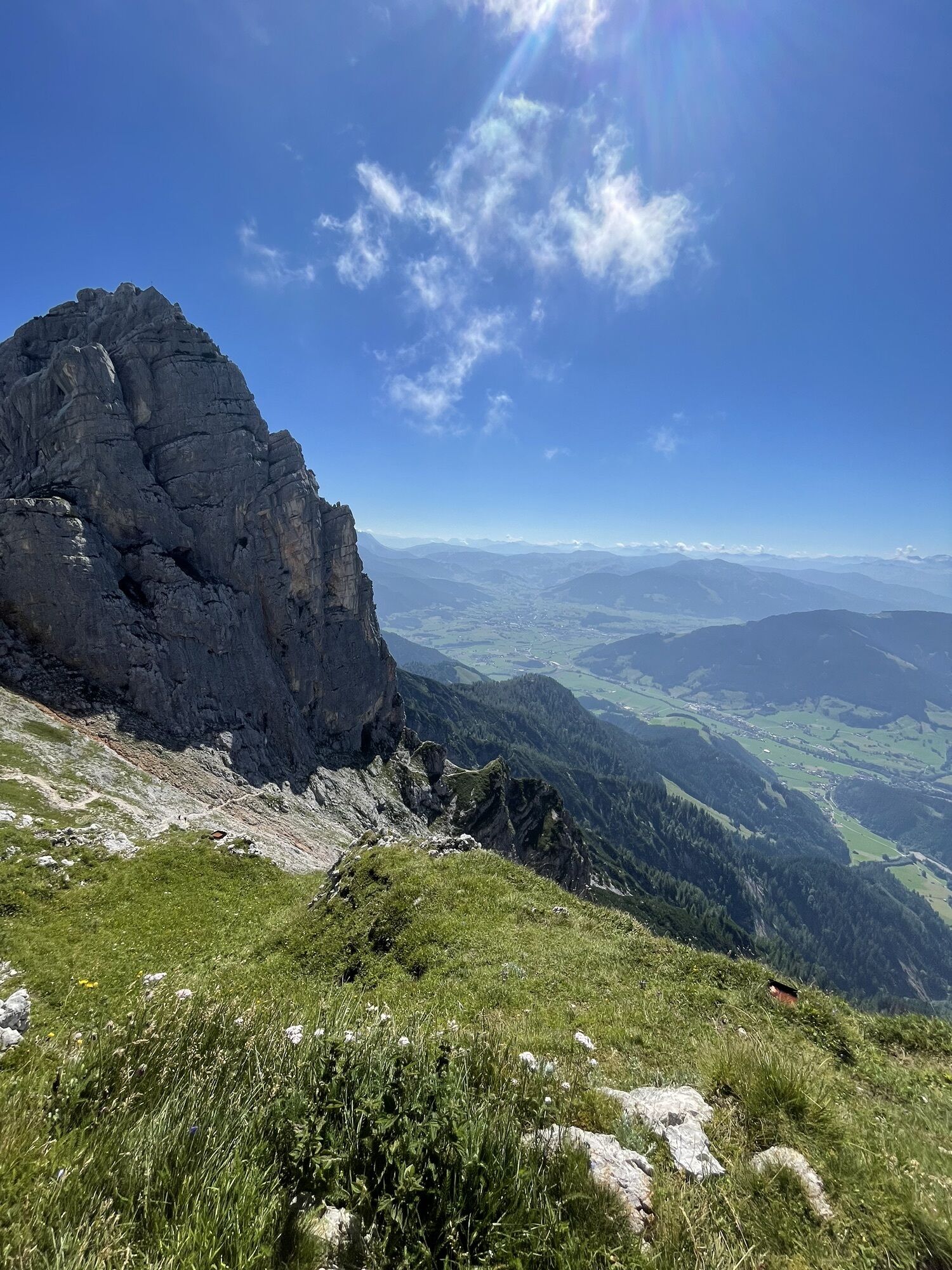
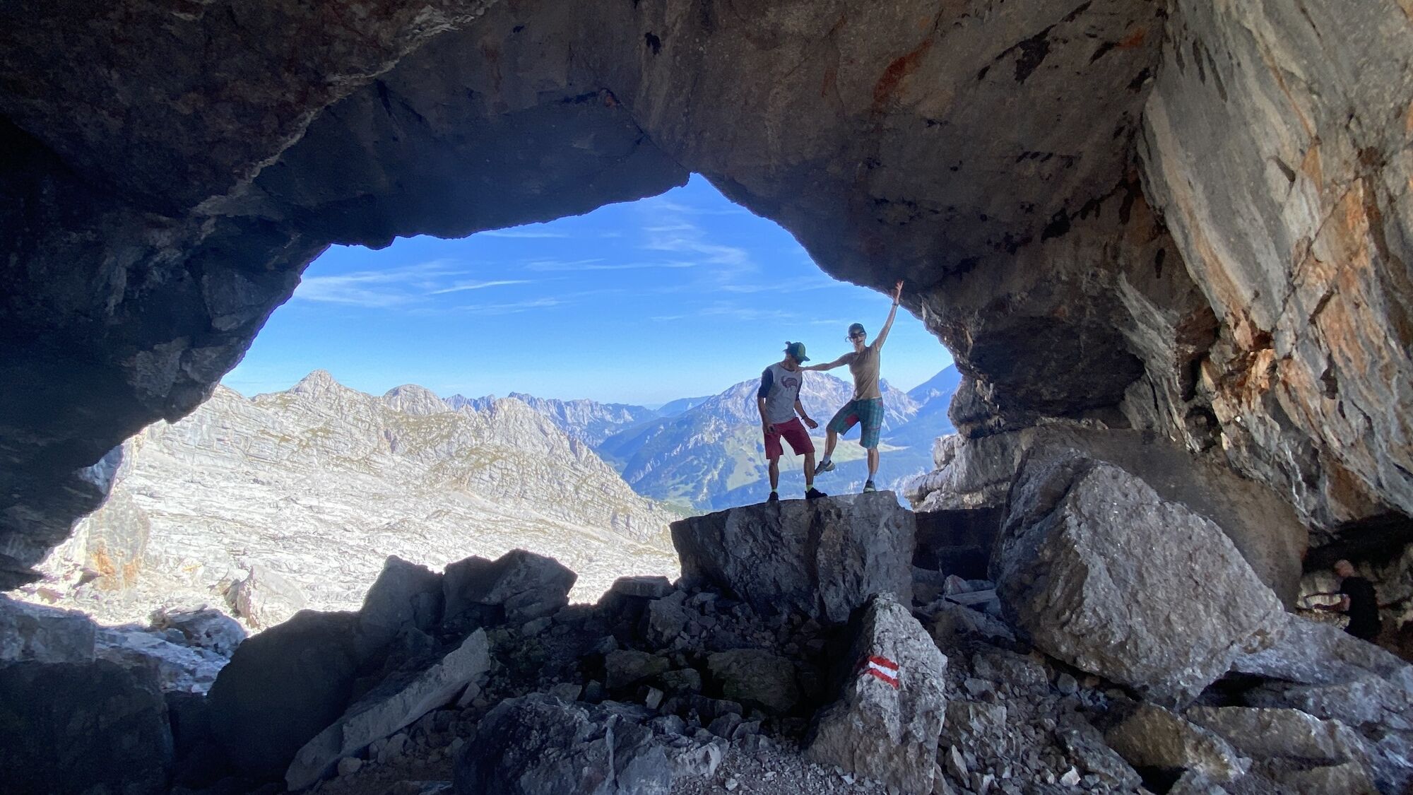
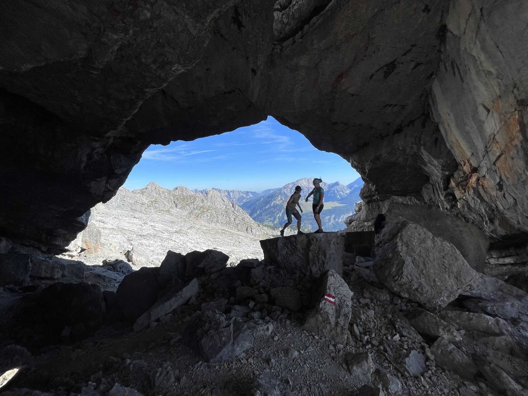
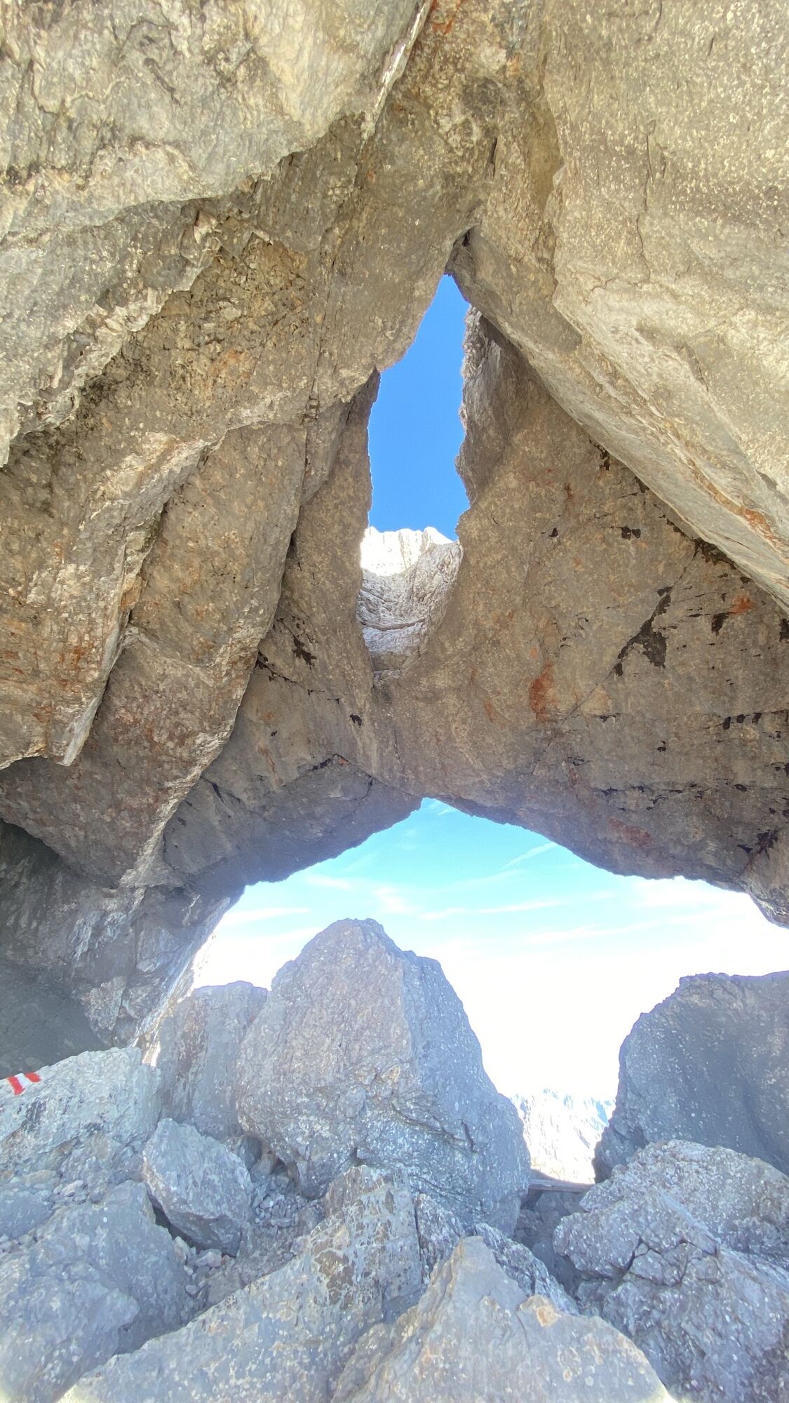
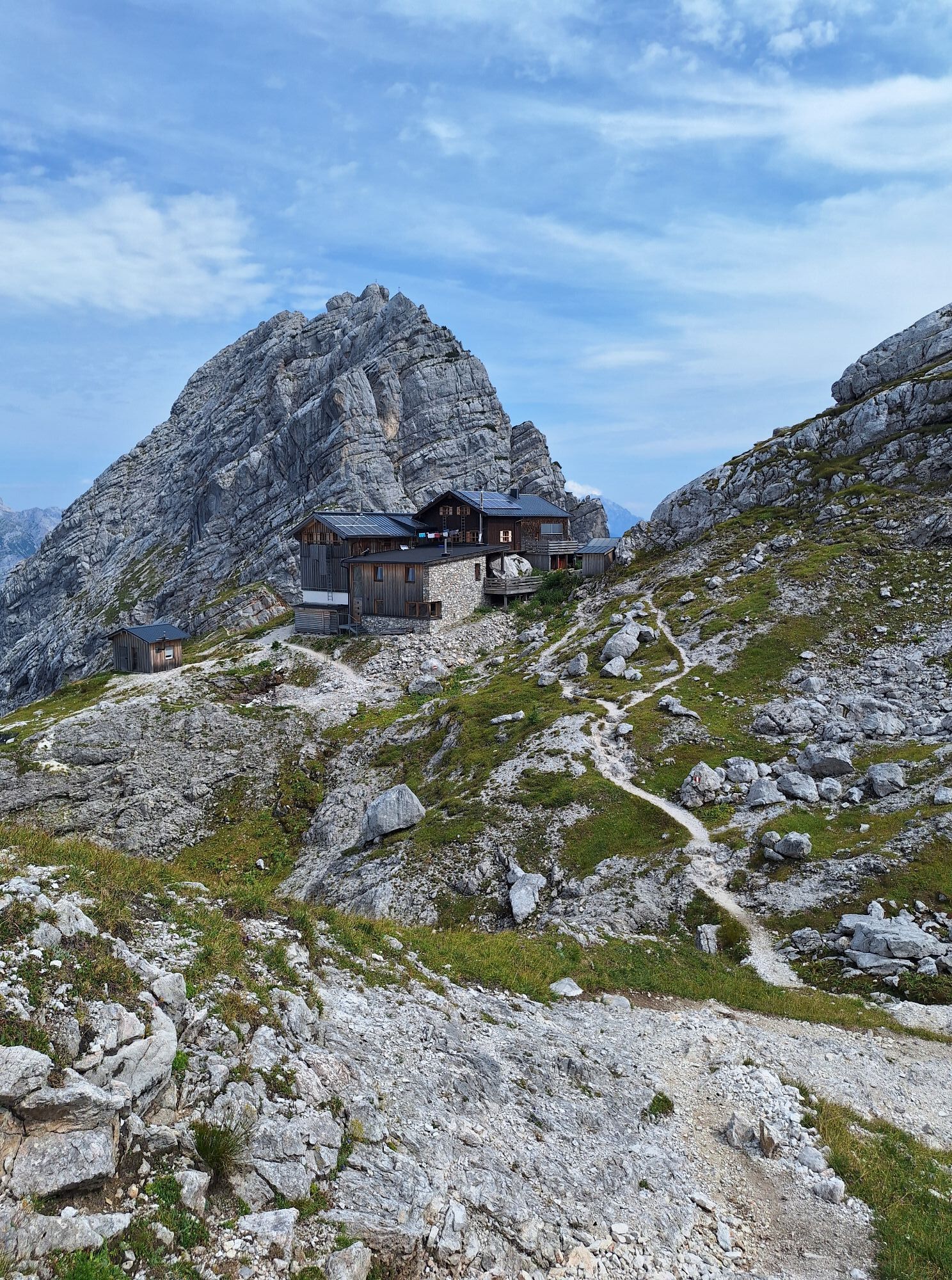


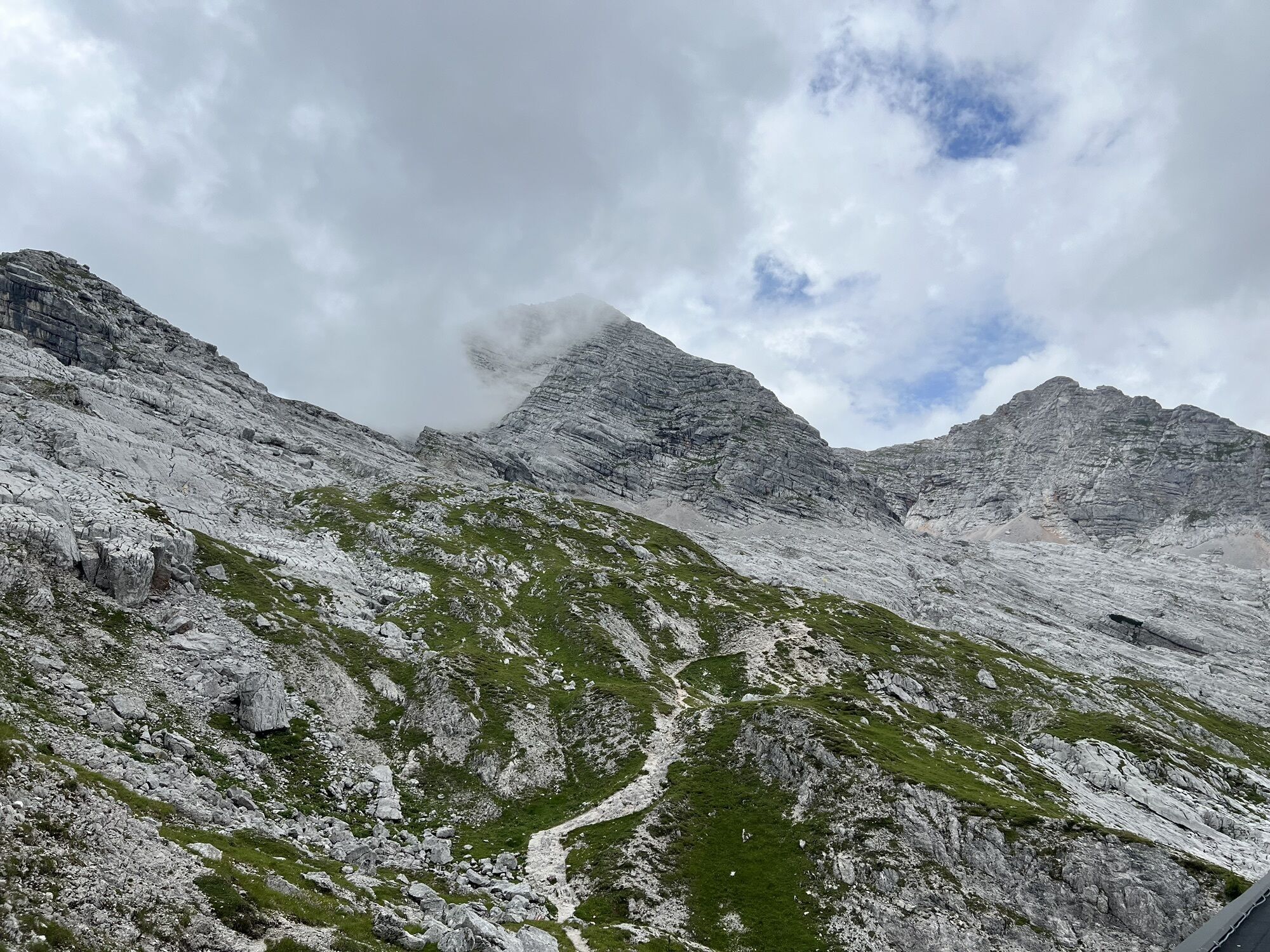
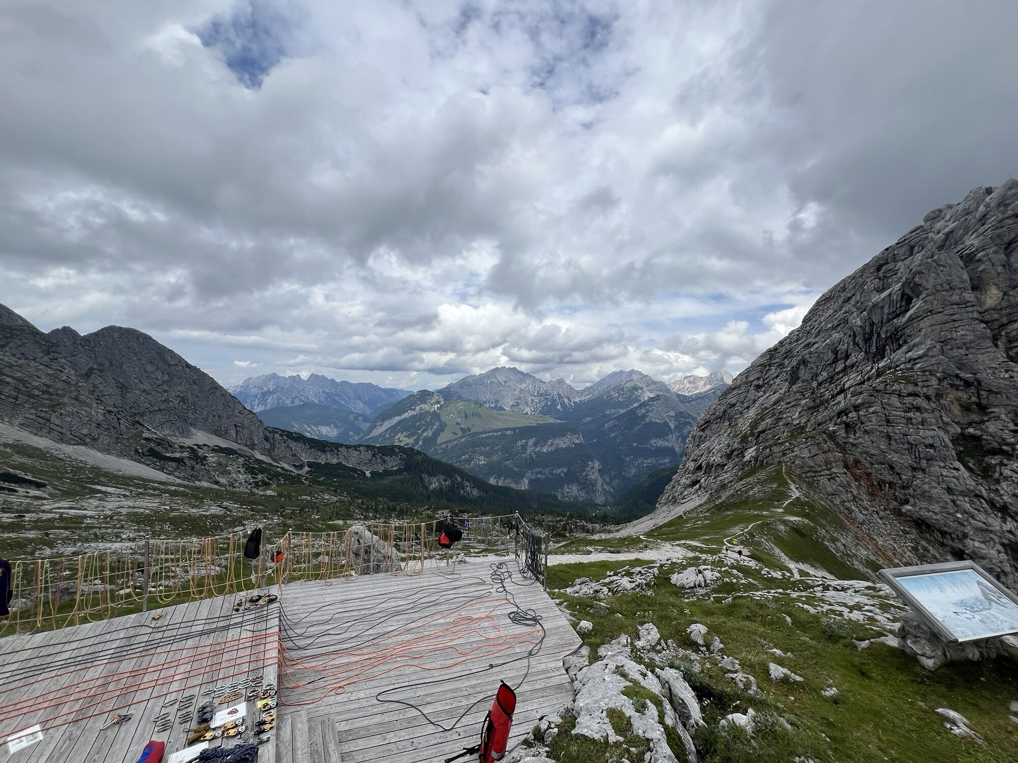
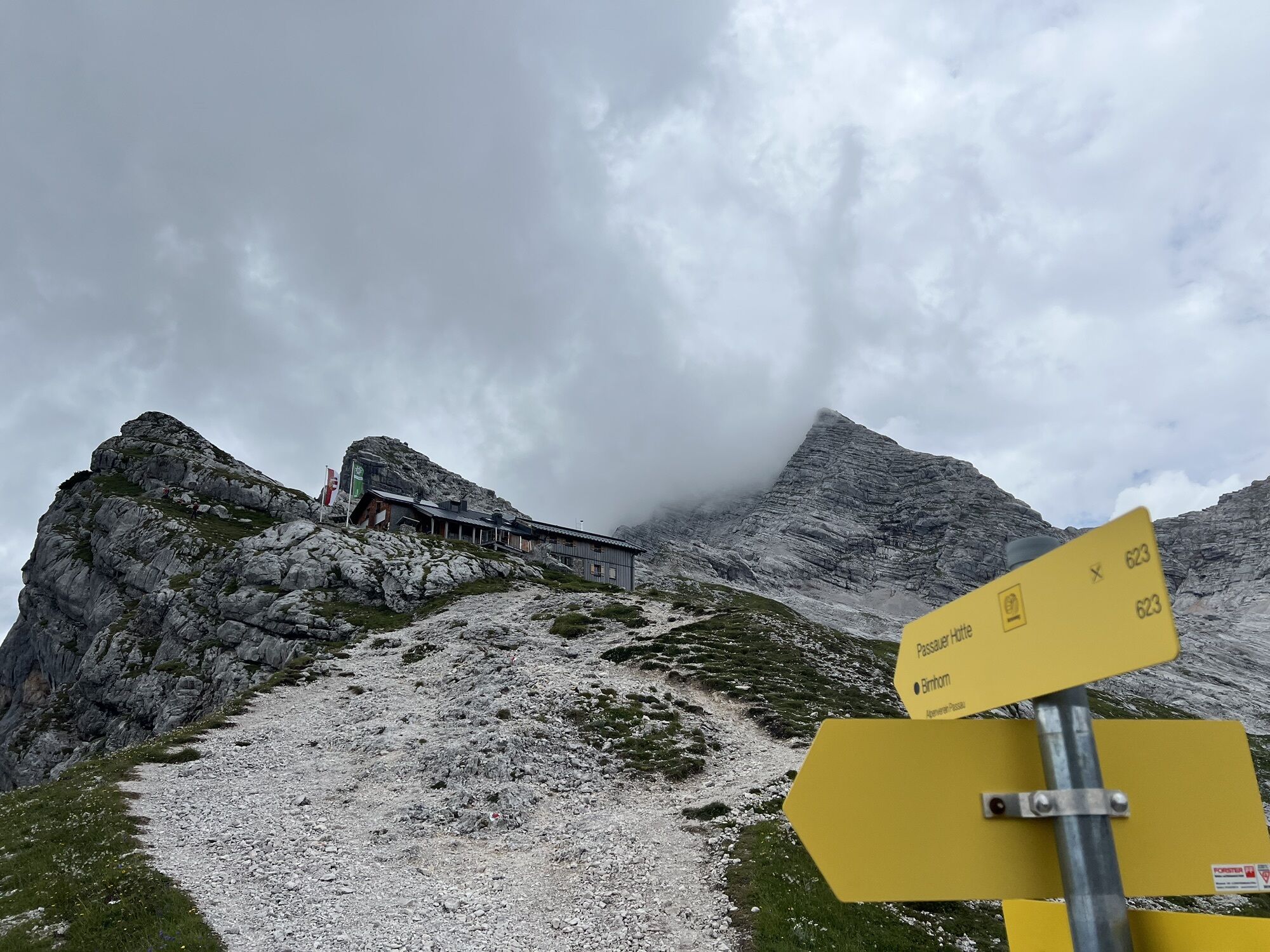
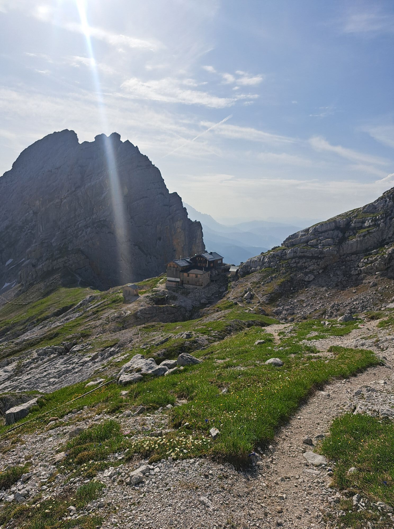
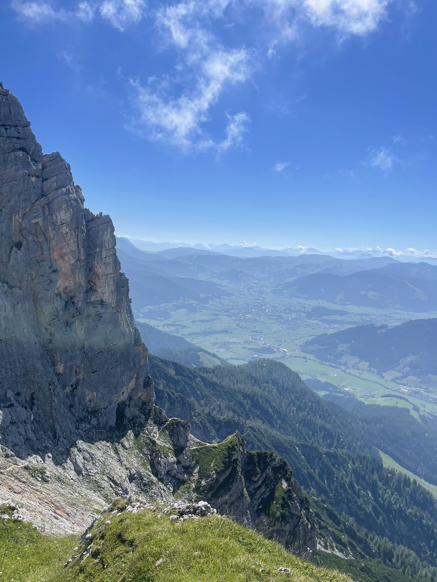
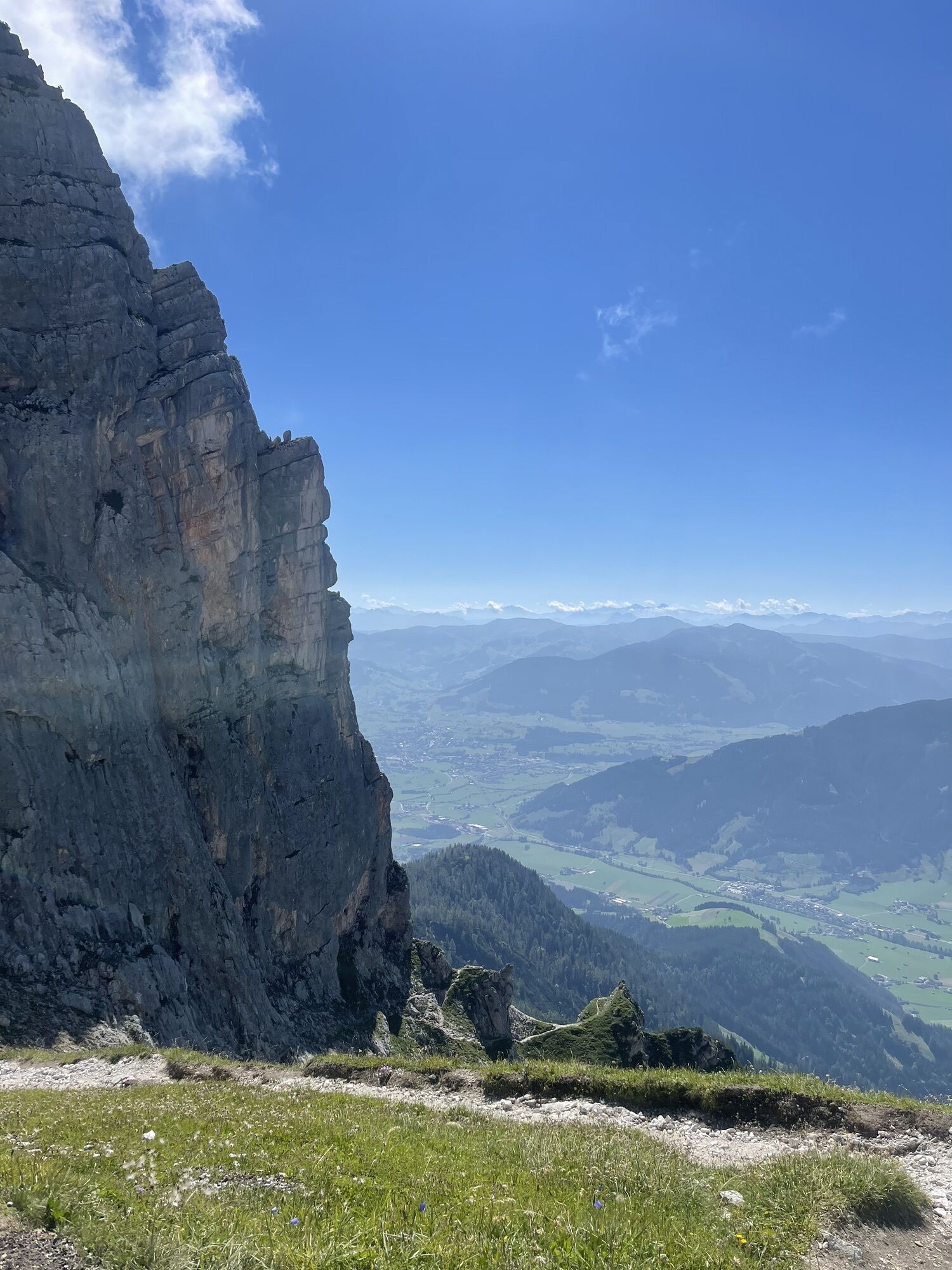
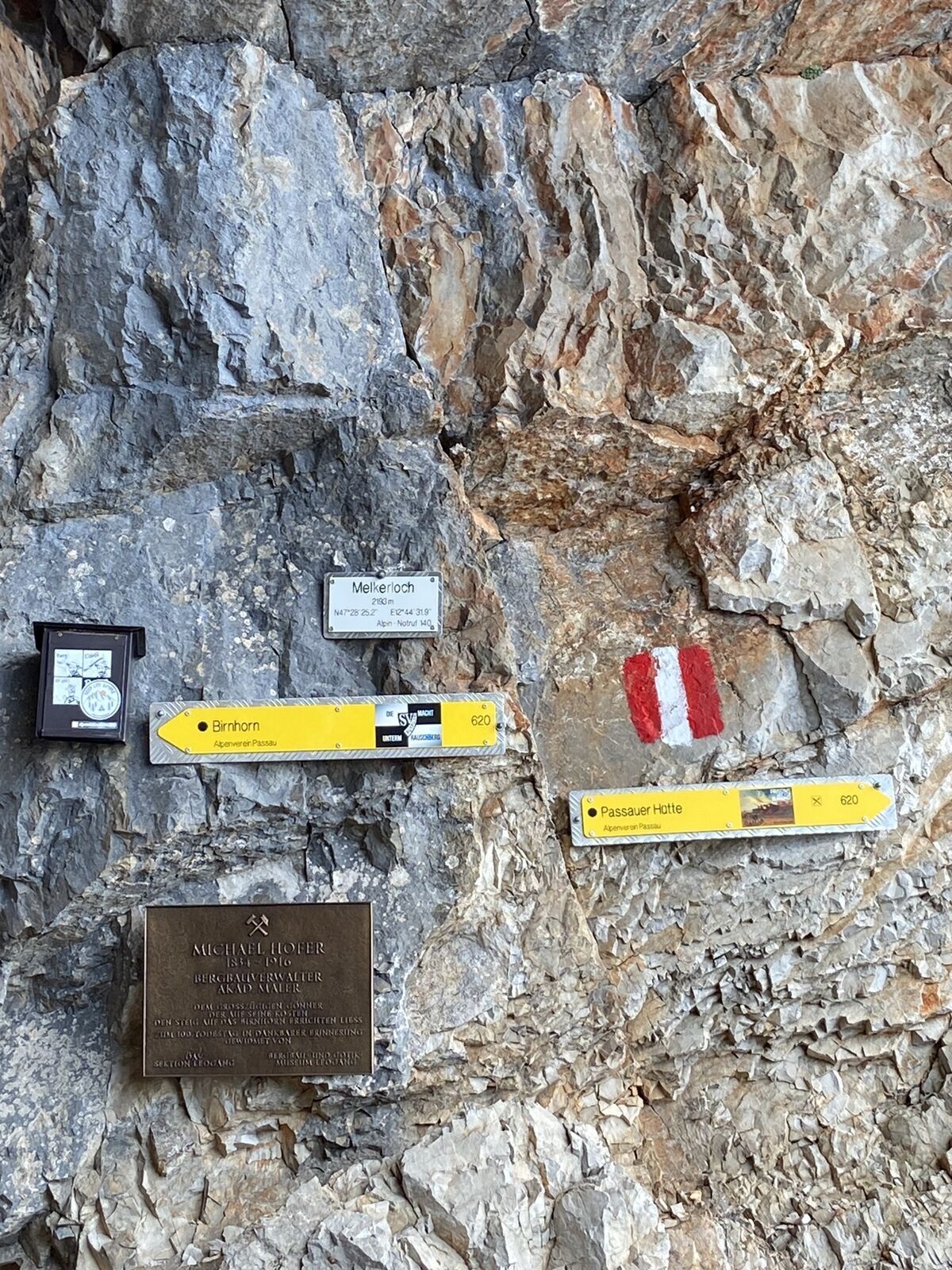
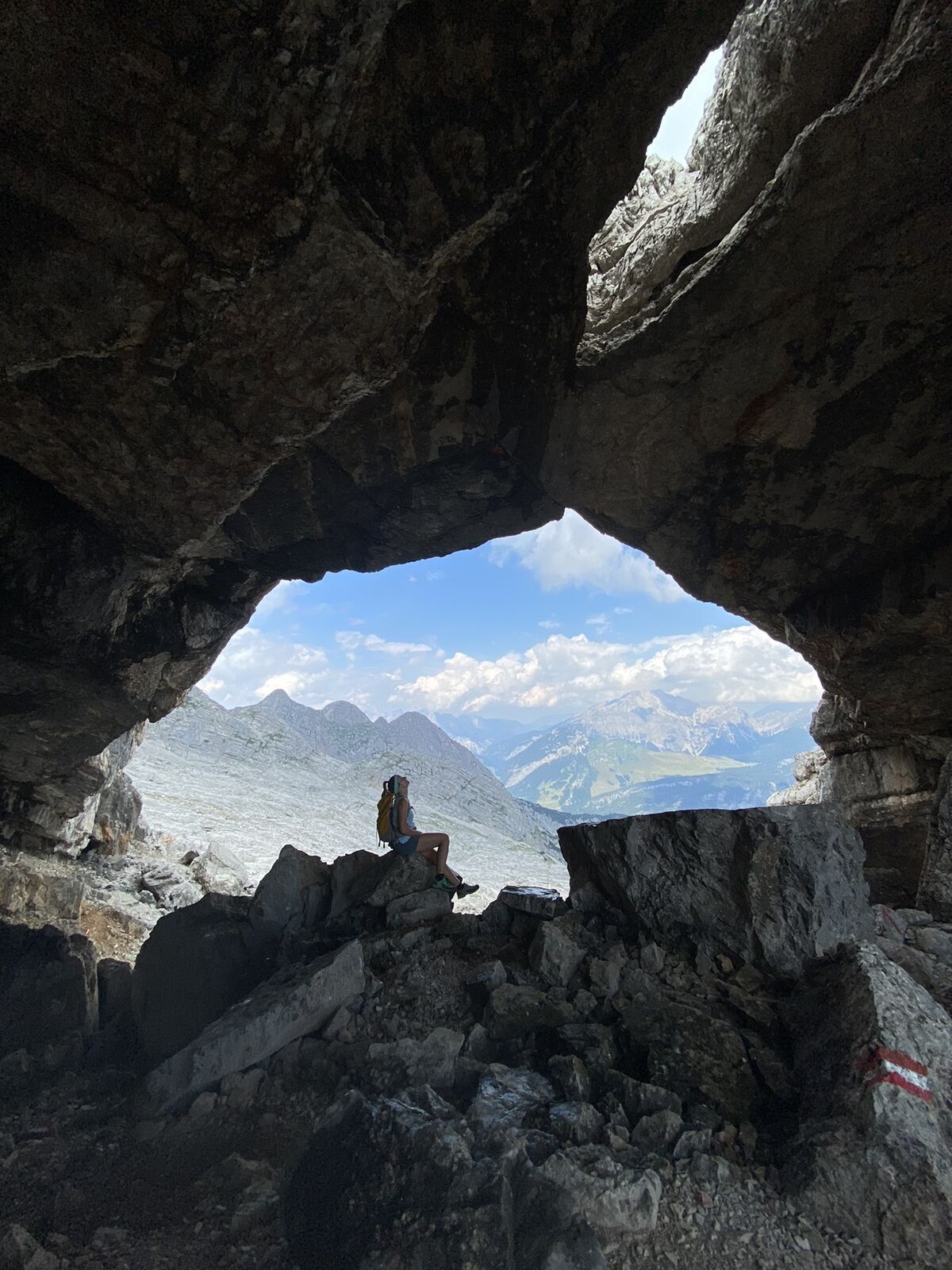
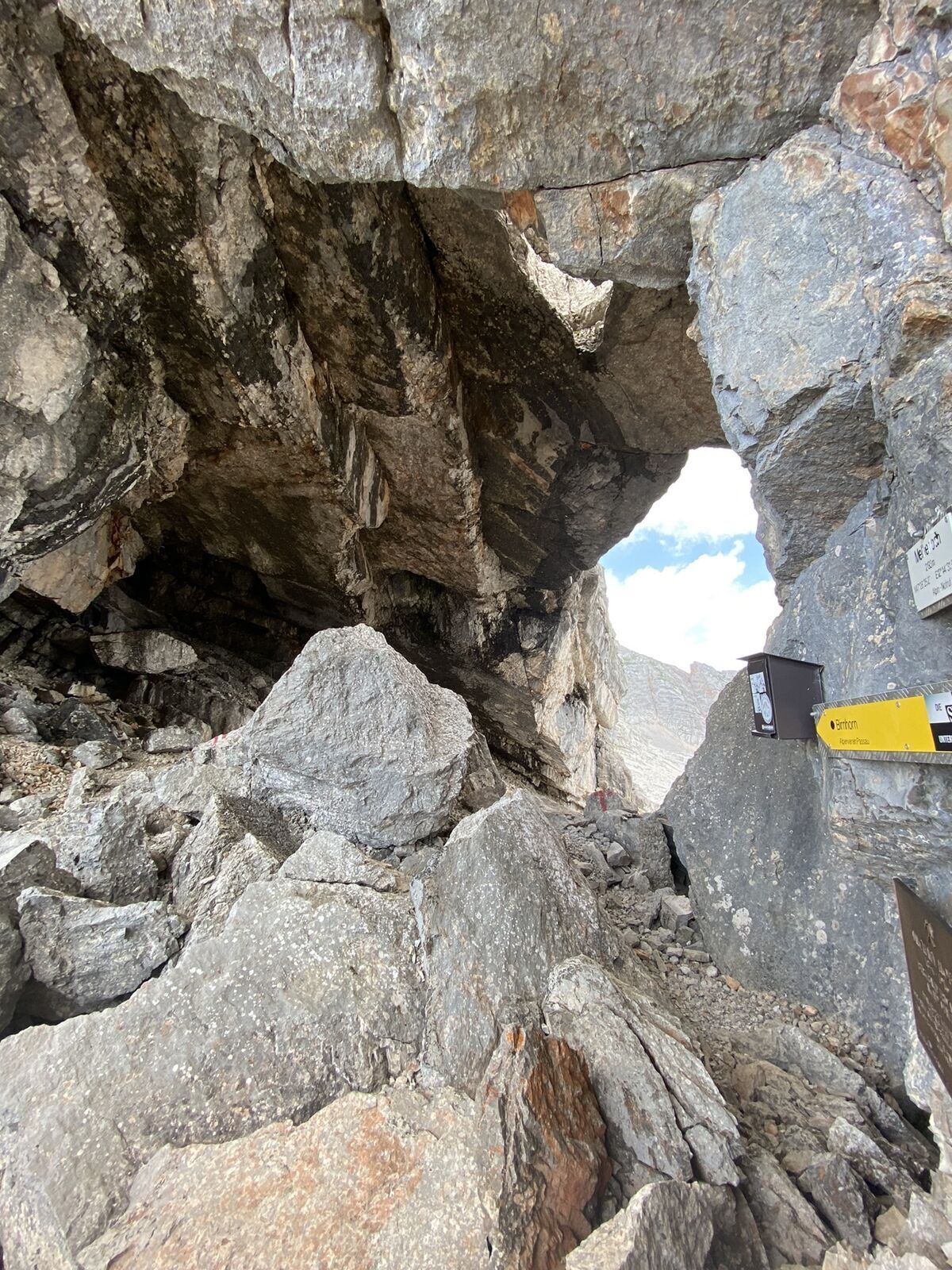

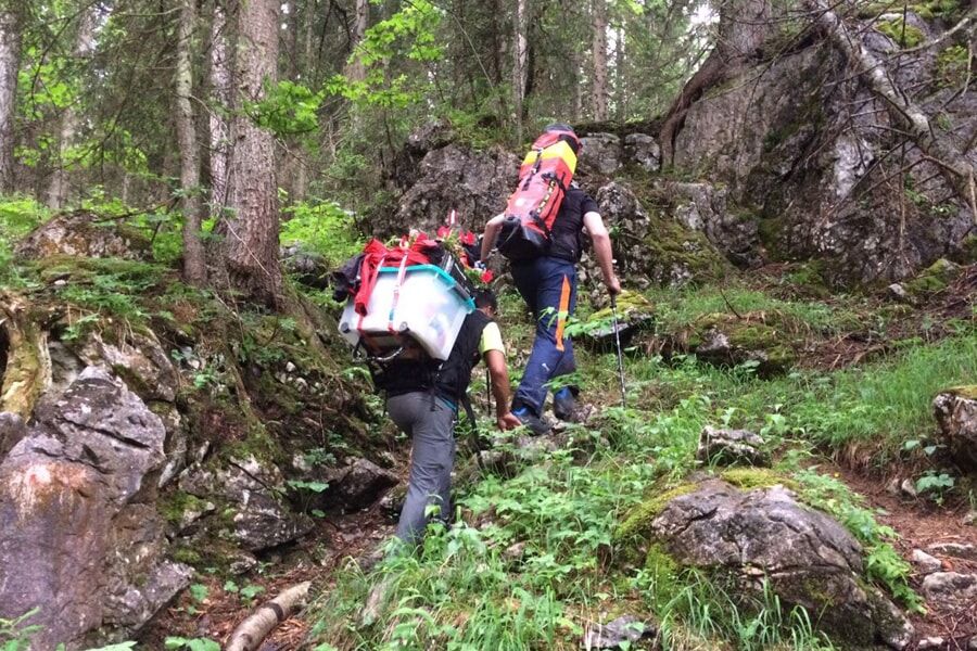
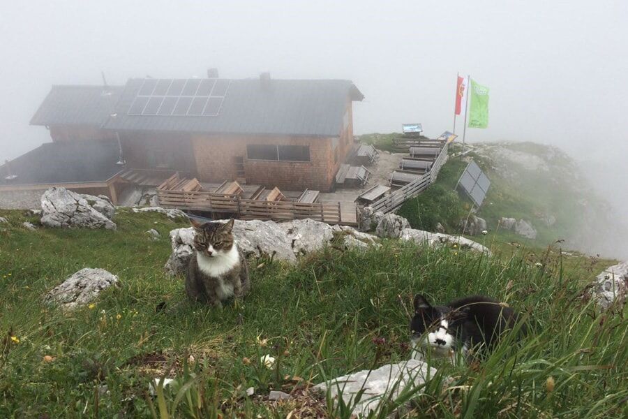
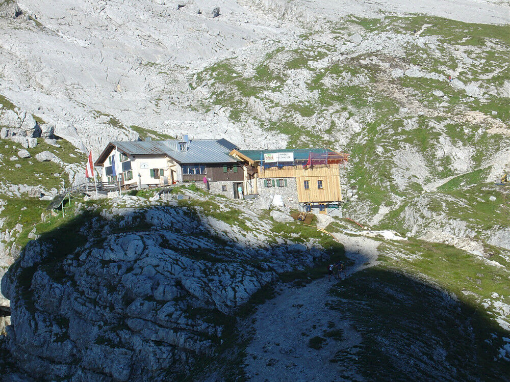
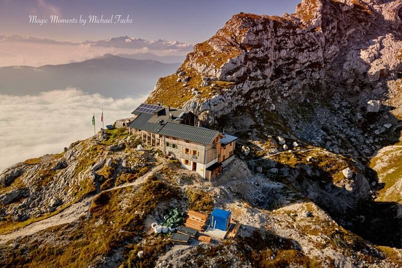
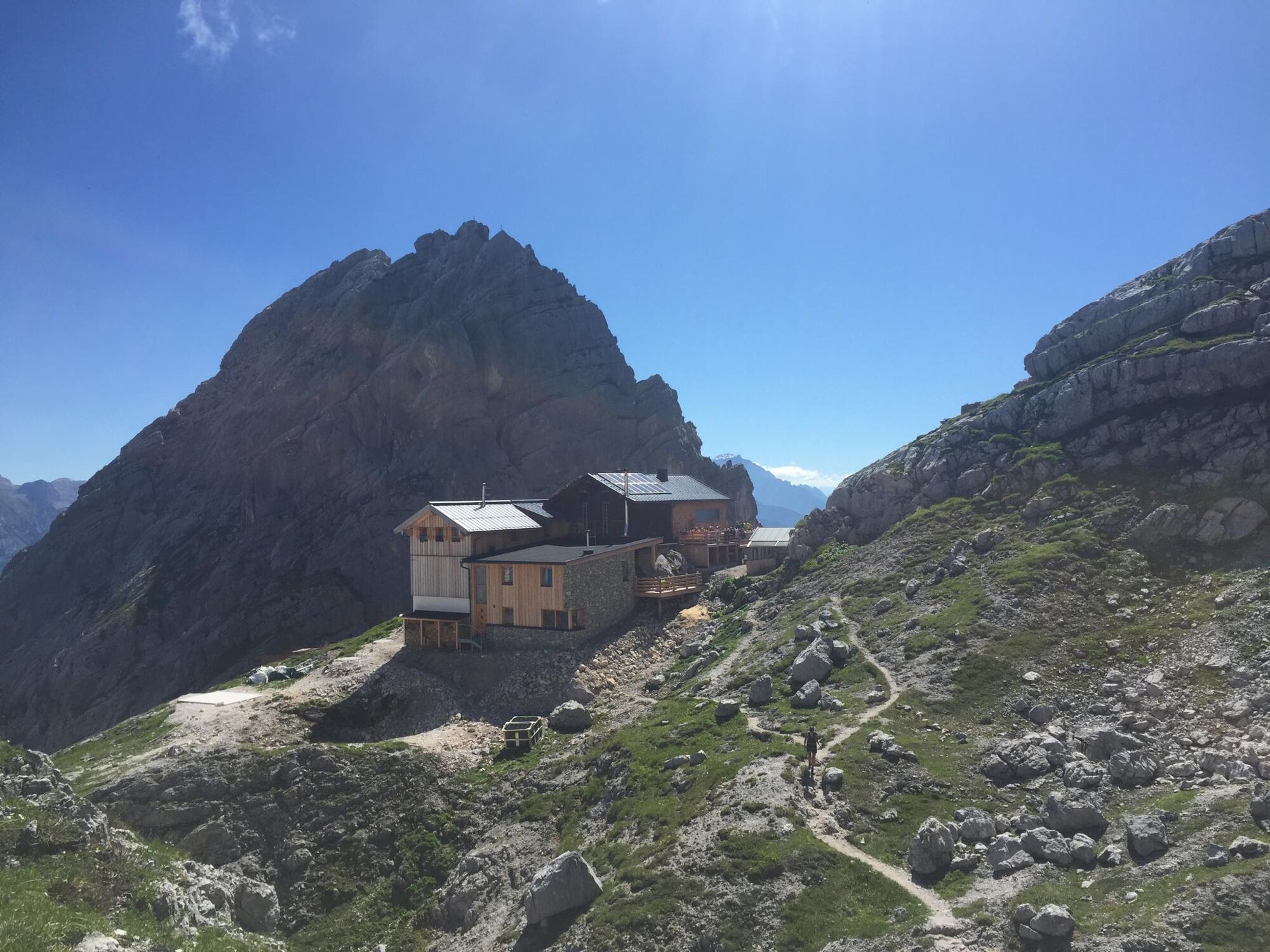
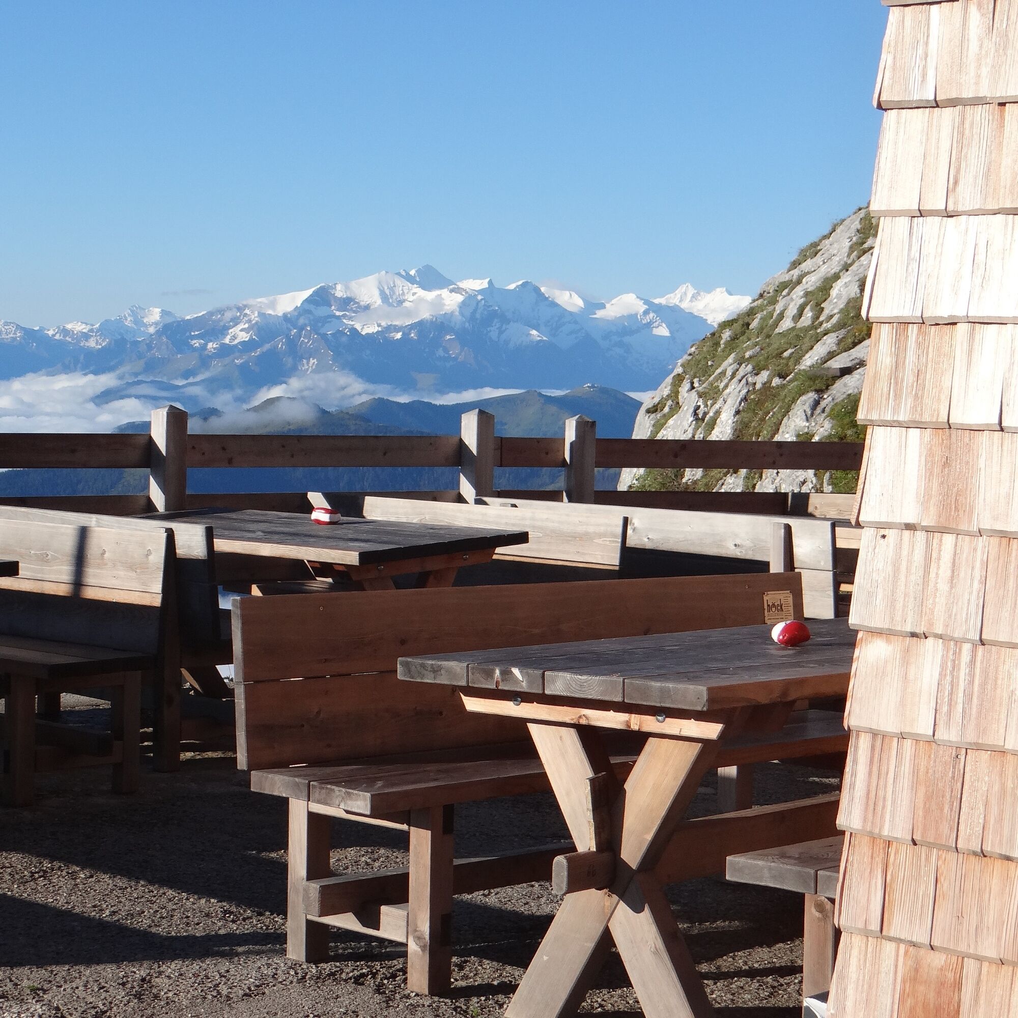
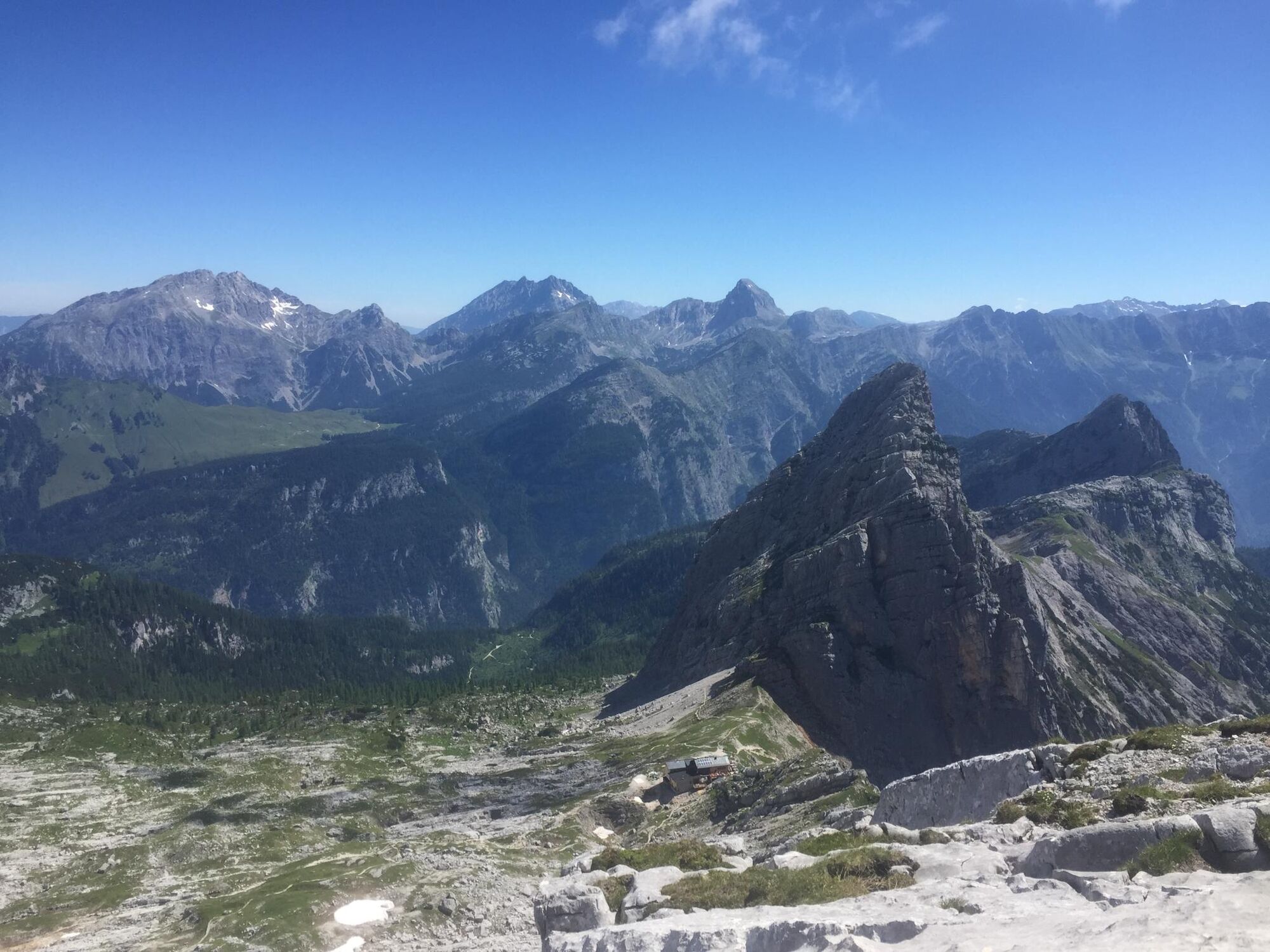
Start the hike at the parking lot by the Steinbruchbrücke, Steinbruch entrance - (if arriving by public bus from the Dießbach stop - No. 622) you walk westward, first across the Saalach then on a meadow path to the quarry). It goes up in large switchbacks through the forest to the start of the forest road. You now follow this, turn right at the intersection and then take the left branch path (you can also come here from Hackerbauer/Weißbach on forest road path No. 21). You then reach another forest road, follow it until the path branches left through the forest to the Hochgrub hunting lodge. Afterwards, some switchbacks uphill until you cross the Hochgrube and reach the Passauer Hut visible from afar. To the left of the Passauer Hut, the path leads you in 45 min towards Melkerloch (named after a legend). From the hut, a path leads westwards uphill across scree and rock slabs to the Zintscharte. For a summit success, the Hochzint (2,246 meters) is recommended.
Return via the ascent route.
Sturdy footwear, mountain equipment
If arriving by car, it is best to start the route at the Steinbruchbrücke parking lot (access to the gravel plant).
The parking lot is located directly on the B311 between Weißach near Lofer and Saalfelden at the Steinernes Meer near the Dießbach power plant.
By line bus 260 to the Dießbach stop (timetable)
Parking lot on the federal road Steinbruchbrücke parking (access to the gravel plant)
The ascent to the Niedergrube can be shortened with the mountaineer's taxi.
Popularne wycieczki w okolicy
-
5,0
Königssee - Kärlinger-Haus
Wędrówka 10,1 km -
4,5
Wimbachgrieshütte
Wędrówka 8,30 km -
4,2
Maria Alm - Riemannhaus
Wędrówka 3,99 km -
4,3
Halsalm
Wędrówka 6,43 km -
4,6
Steinalm
światłoWędrówka 2,71 km -
5,0
Watzmann Überschreitung an einem Tag
ciężkiWędrówka 23,9 km -
4,4
Peter-Wiechenthaler Hut
średniWędrówka 4,32 km -
5,0
Goldtoni - Wandern - Watzmann - Überschreitung
ciężkiWycieczka wysokogórska 25,3 km -
4,7
Loferer Steinberge, zum Hinterhorn über die Schmid-Zabierow Hütte, 19.06.22
ciężkiWędrówka 14,0 km -
4,2
Passauer Hütte
ciężkiWędrówka 4,14 km
Wędrówki i tropienie


Nie przegap ofert i inspiracji na następne wakacje
Twój adres e-mail została dodana do listy mailingowej.