
Maisereck and the ponds in the forest
Wędrówka 4,7
Pobierz tę trasę na swój telefon komórkowy
Maisereck and the ponds in the forest
Wędrówka
7,52
km
Zeskanuj kod QR i rozpocznij nawigację w aplikacji bergfex.


Wędrówki i tropienie



Maisereck and the ponds in the forest
Wędrówka 4,7
Odległość
7,52
km
Czas trwania
02:34
h
Ascent
25
hm
Poziom morza
1 001 -
1 785
m

Nawiguj po trasie w aplikacji
Zainstaluj aplikację za darmo i śledź trasę dzięki nawigacji GPS i funkcji śledzenia.
Skorzystaj już teraz z funkcji „ bergfex ” w aplikacji
Zeskanuj kod QR za pomocą aparatu
Po zainstalowaniu aplikacji treść otworzy się od razu. Jeśli jeszcze nie masz tej aplikacji, zostaniesz przekierowany do strony, z której możesz ją bezpłatnie pobrać.
Ścieżka do pobrania
Maisereck and the ponds in the forest
Wędrówka
7,52
km
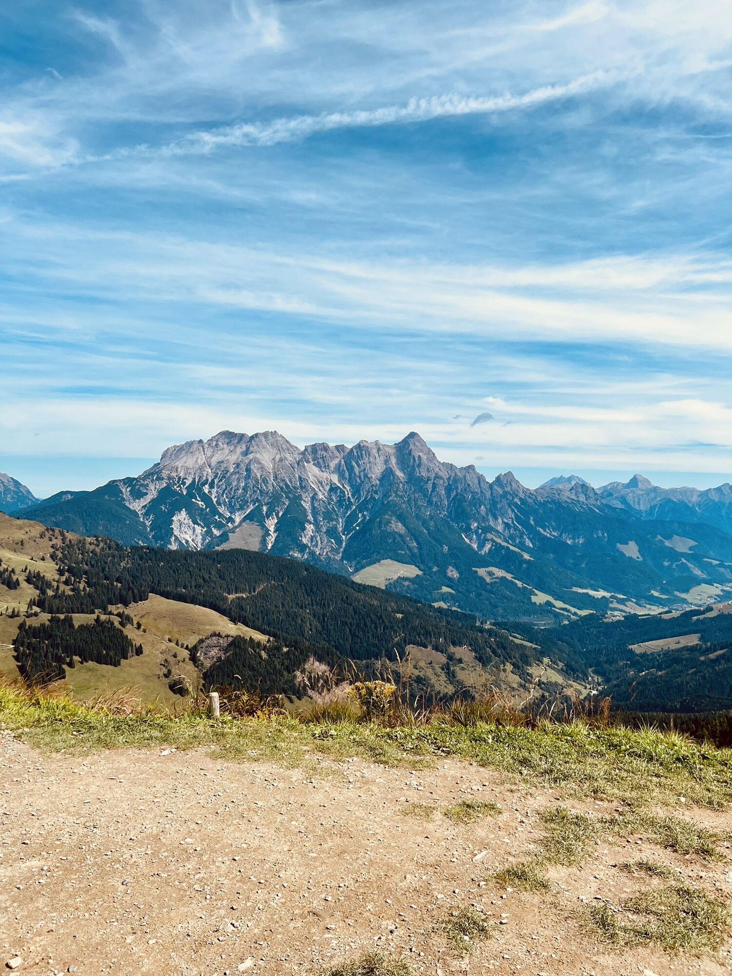
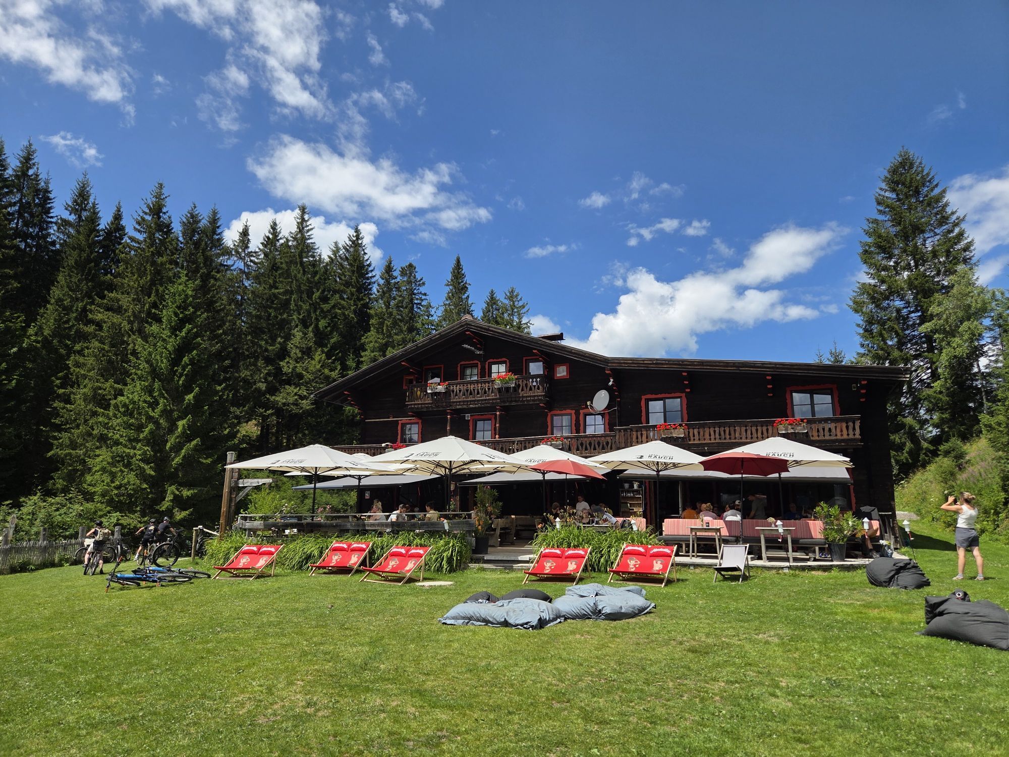
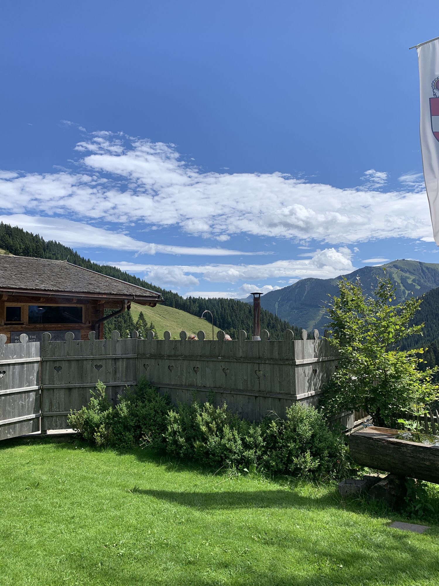
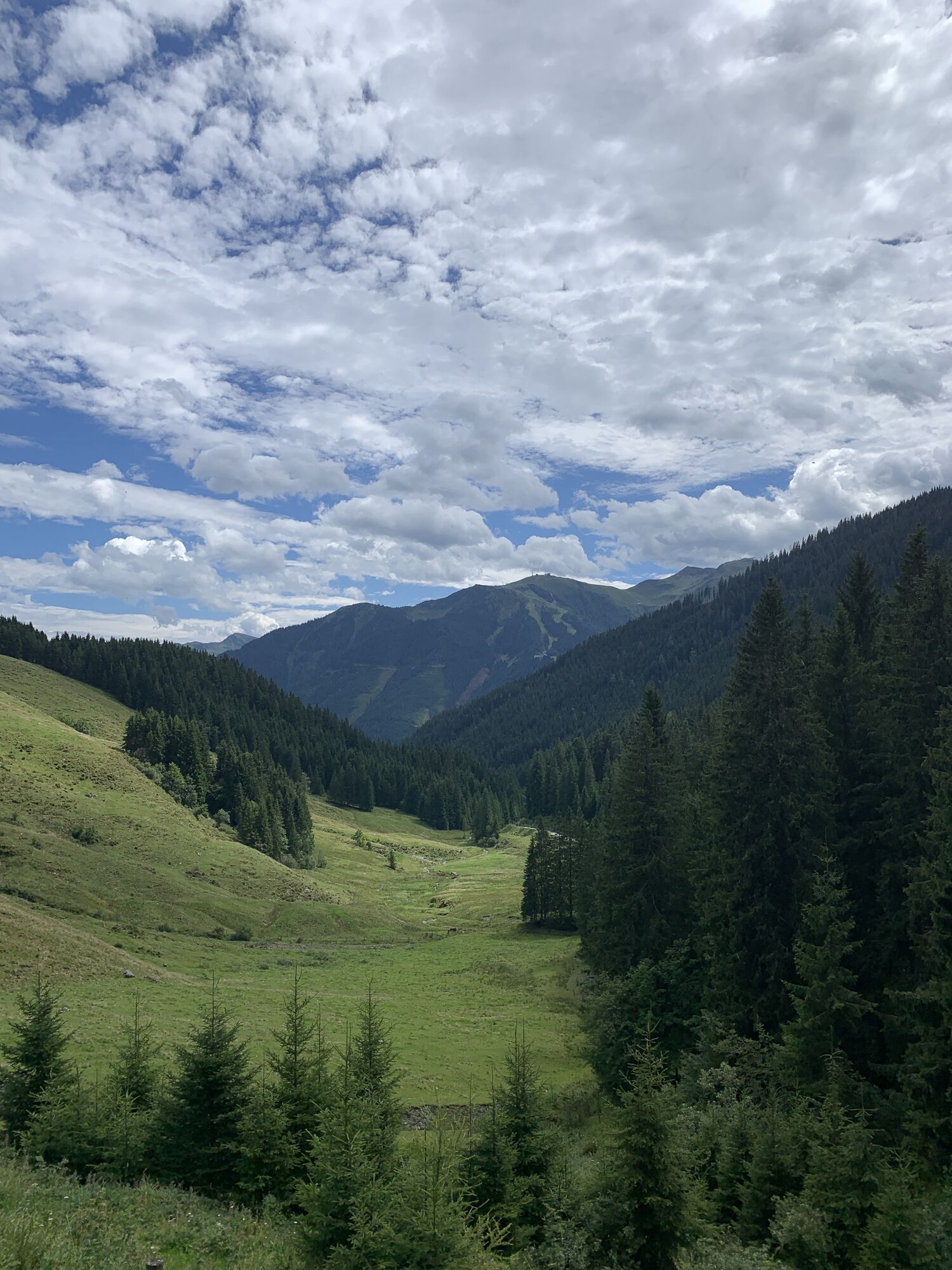
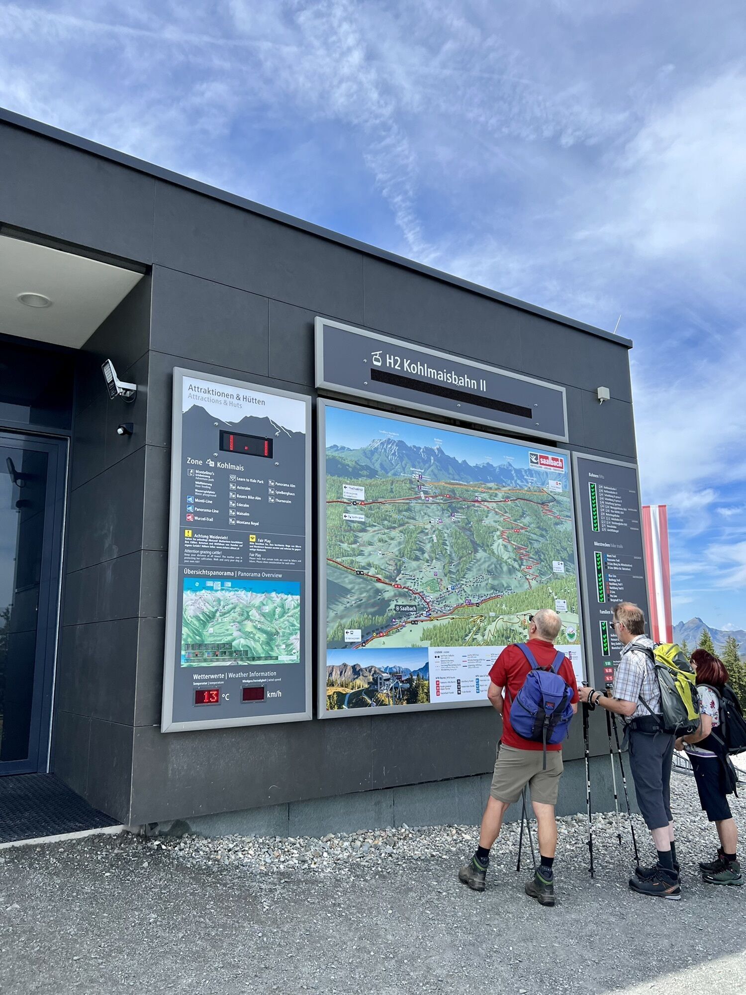
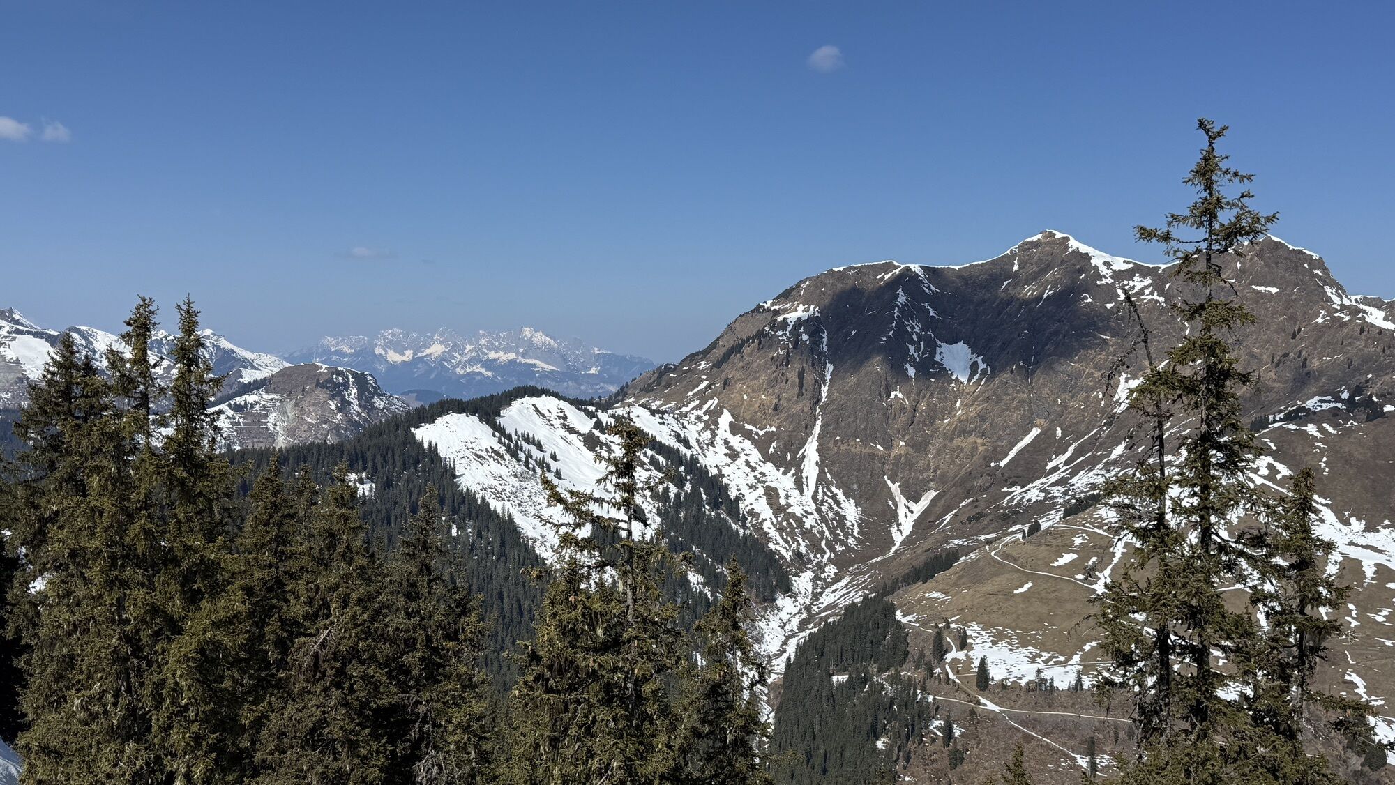
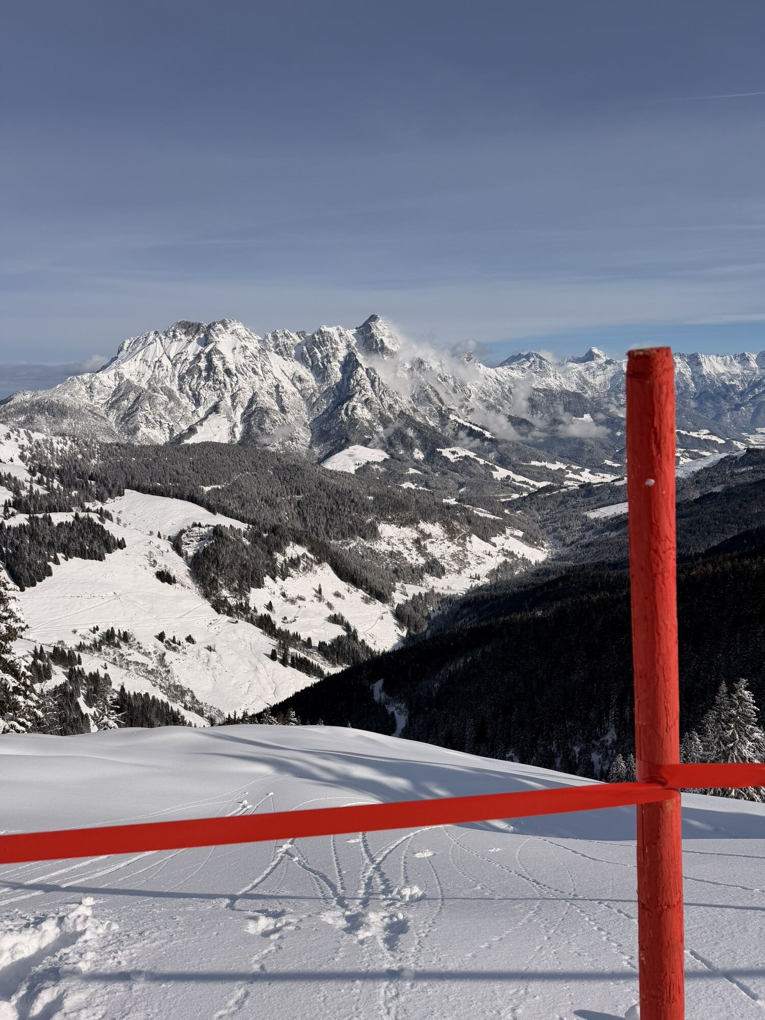


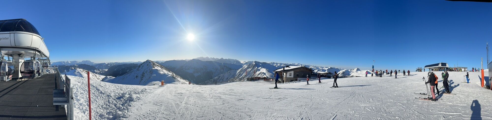
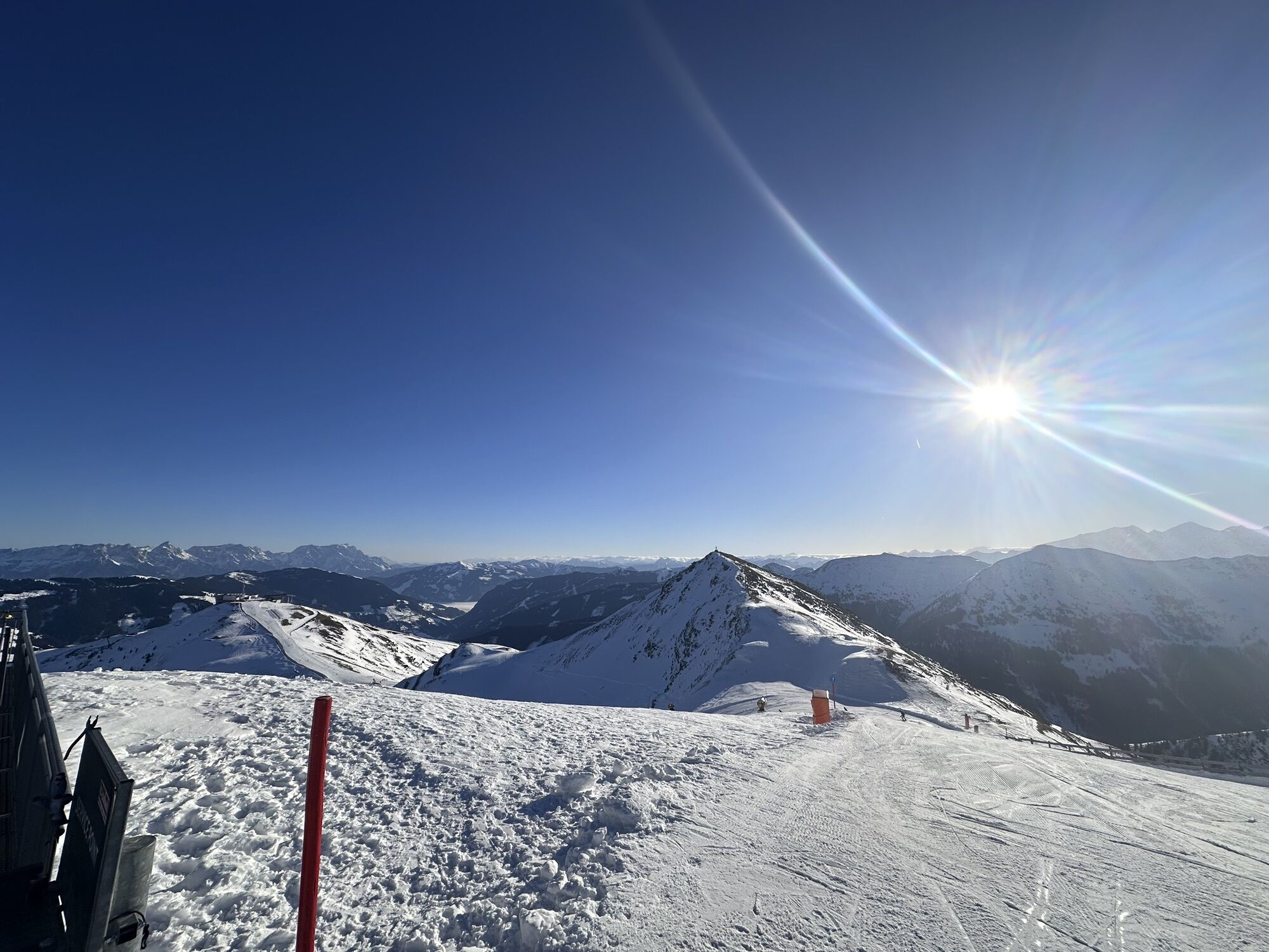
Ascent with the Kohlmaisbahn to the mountain station. On the left hand side along the Saalachtaler Höhenweg to the Maisereck. A short time later you come to the mystical and idyllic forest ponds. Via the...
Opis
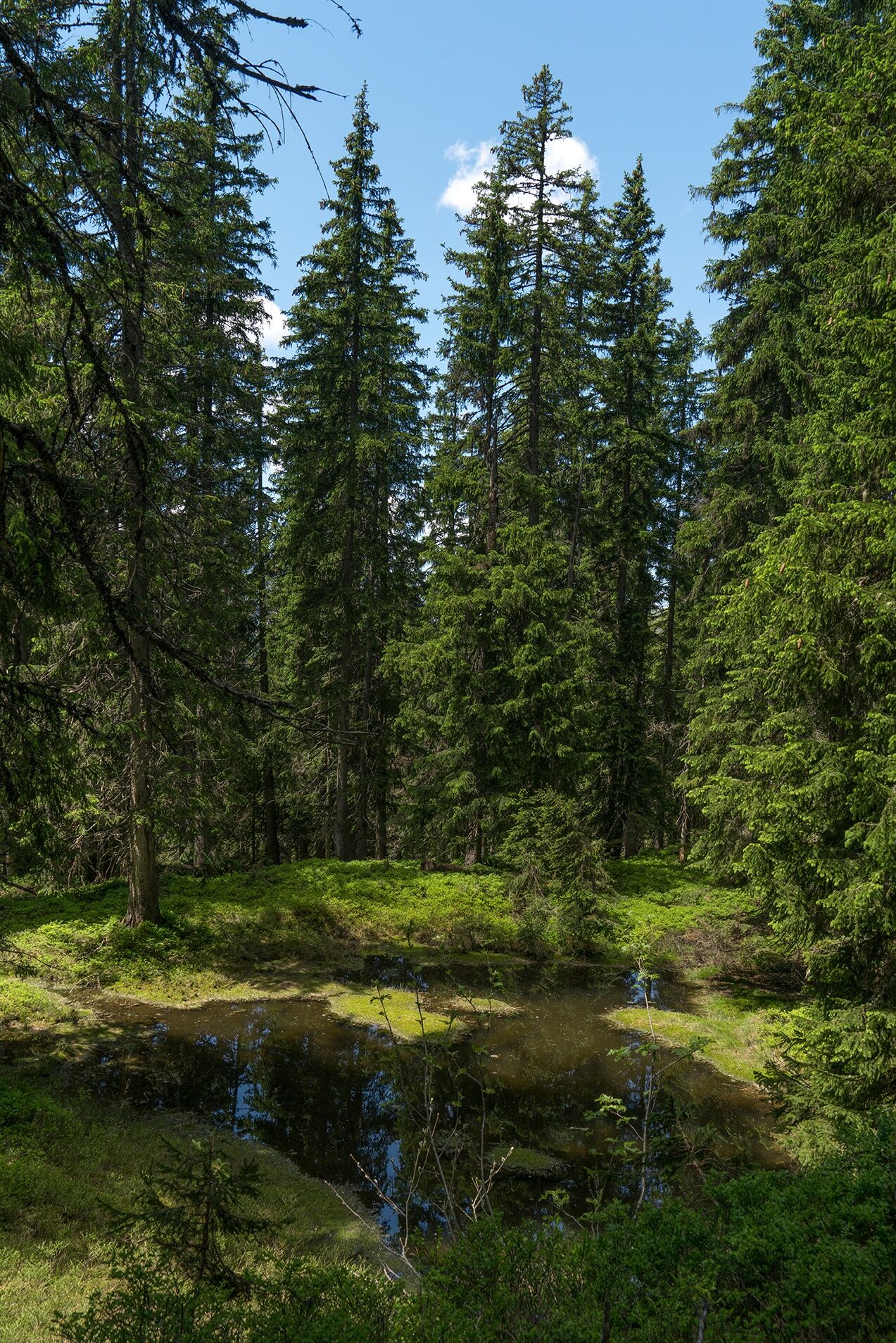
Ascent with the Kohlmaisbahn to the mountain station. On the left hand side along the Saalachtaler Höhenweg to the Maisereck. A short time later you come to the mystical and idyllic forest ponds. Via the Wirtsalm and the Spielberghaus back to the centre of Saalbach using the "Pascherweg".
Did you know? Saalbach Hinterglemm has been awarded the ‘Hiking Seal of Quality’ by the organisation ‘Austria’s Hiking Villages’. This certificate requires a destination to meet strict quality standards in its hiking facilities and ensures that you’ll have a great time in the mountains.
Trasa
Kohlmaiskopf
(1 794 m)
Szczyt
0,0 km
Maisereck
(1 675 m)
Szczyt
1,3 km
Dalsentörl
(1 632 m)
Siodełko górskie
2,5 km
Saalbach
(997 m)
Wioska
7,4 km
Trasa
Maisereck and the ponds in the forest
Wędrówka
7,52
km
Autor
Dostarczone przez Saalbach Hinterglemm
Wycieczkę Maisereck and the ponds in the forest zapewnia outdooractive.com.

Ostatnio śledzony
2 tygodnie temu

Informacje o trasie
Odpowiedni dla rodzin
Tak
Wyceny

Kamery internetowe z trasy

Wszystkie kamery internetowe na mapie
Zainstaluj aplikację za darmo i porównaj obrazy na żywo z kilku miejsc, zanim wyruszysz w drogę.
Skorzystaj już teraz z funkcji „ bergfex ” w aplikacji
Zeskanuj kod QR za pomocą aparatu
Po zainstalowaniu aplikacji treść otworzy się od razu. Jeśli jeszcze nie masz tej aplikacji, zostaniesz przekierowany do strony, z której możesz ją bezpłatnie pobrać.

Popularne wycieczki w okolicy
- 4,3
Maurerkogel (Top)
Wędrówka 10,5 km - 4,8
Loferer Steinberge, zum Hinterhorn über die Schmid-Zabierow Hütte, 19.06.22
ciężkiWędrówka 14,0 km - 4,6
Lettlkaser
średniWędrówka 8,80 km - 4,7
Panorama route 3 peaks and 2 lakes
średniWędrówka 7,21 km - 5,0
Leo’s play hiking trail
światłoTrasa tematyczna 4,89 km - 4,2
Passauer Hütte
ciężkiWędrówka 8,27 km - 4,1
Berg der Sinne
światłoWędrówka 4,39 km - 4,5
Birnbachloch
średniWędrówka 6,35 km - 4,6
Birnbachloch Leogang, Österreich
średniWędrówka 5,18 km - 4,9
Hochsonnberg Runde
średniMountainbike 59,8 km
Wędrówki i tropienie

Ponad 550.000 propozycji wycieczek, szczegółowe mapy i intuicyjny planer tras sprawiają, że aplikacja jest niezbędna dla wszystkich entuzjastów przyrody.

Nie przegap ofert i inspiracji na następne wakacje
Zapisz się do newslettera
Błąd
Wystąpił błąd. Spróbuj ponownie.Dziękujemy za rejestrację
Twój adres e-mail została dodana do listy mailingowej.
Wycieczki po całej Europie
Austria Szwajcaria Niemcy Włochy Słowenię Francja Holandia Belgia Polska Liechtenstein Czechy Słowacja Hiszpania Chorwacja Bośnia i Hercegowina Luksemburg Andorra Portugalia Islandia Wielka Brytania Irlandia Grecja Albania Macedonia Północna Malta Norwegia Czarnogóra Mołdawia Kosowo Węgry San Marino Rumunia Estonia Łotwa Białoruś Cypr Litwa Serbia Bułgaria Monako Dania Szwecja Finlandia


