






Hike via Schornhöhe, Hocheck, and Raspenhöhe

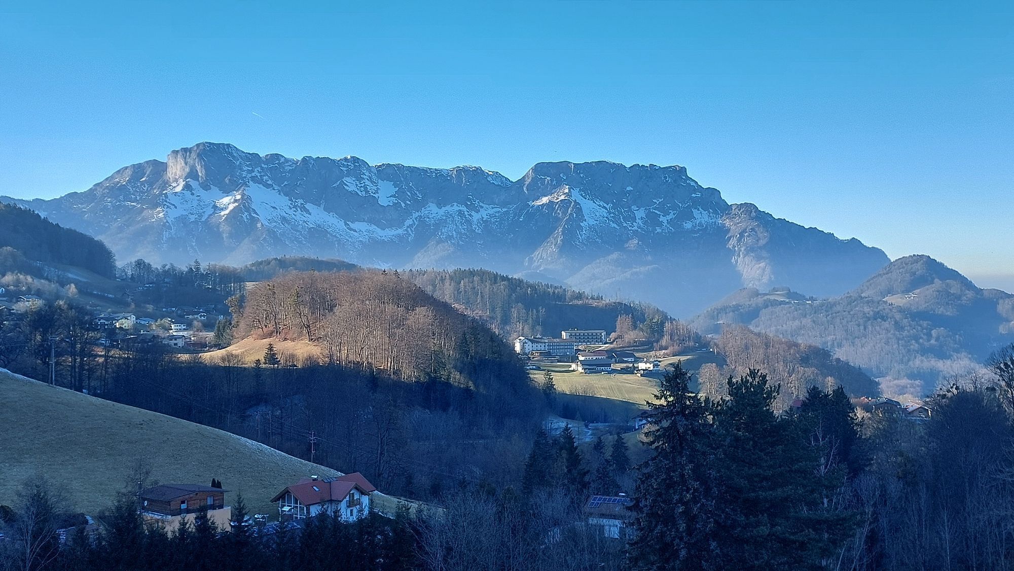
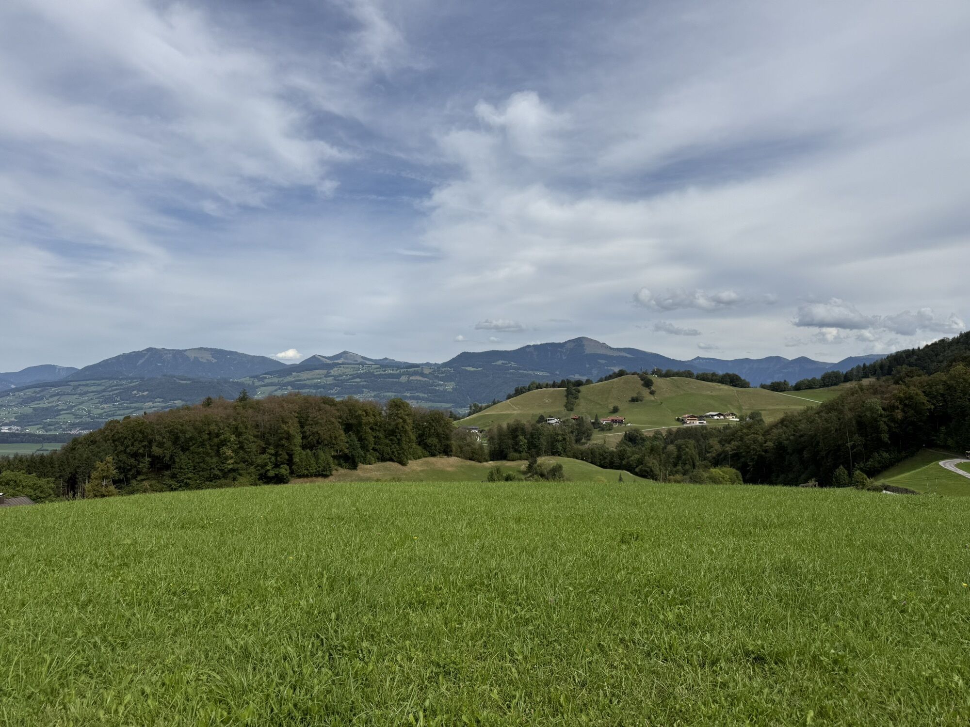
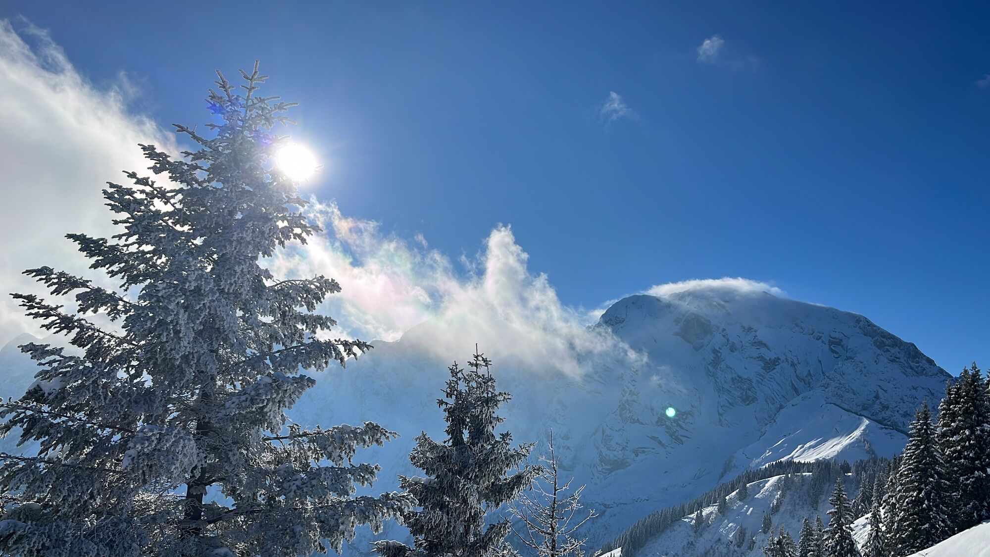
On this beautiful panoramic route above Hallein in the small village of Bad Dürrnberg, we can enjoy magnificent views of the Untersberg massif, Hallein, the Salzach, and Bad Dürrnberg itself. On easy paths,...
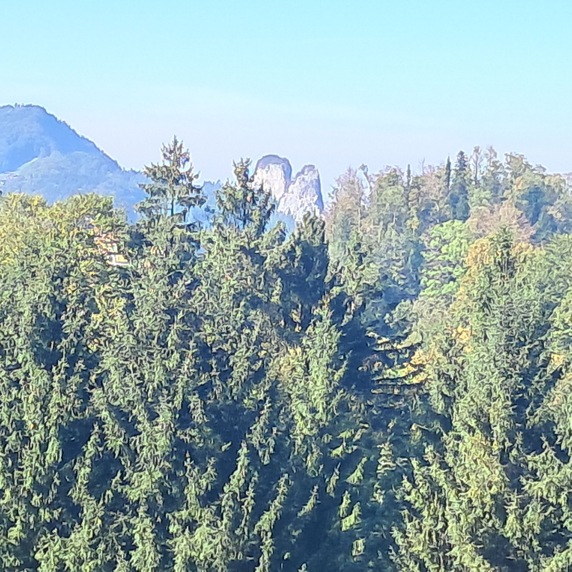
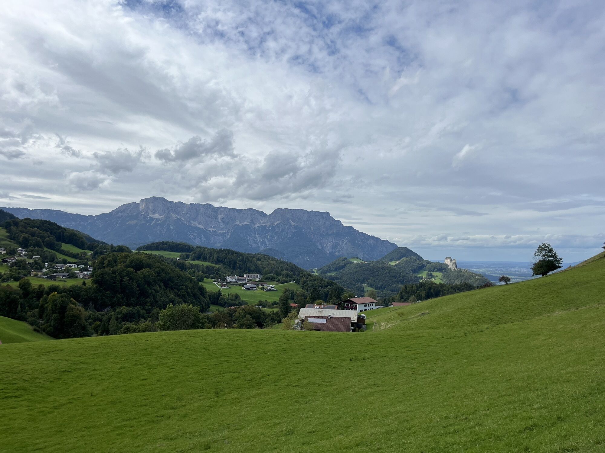
On this beautiful panoramic route above Hallein in the small village of Bad Dürrnberg, we can enjoy magnificent views of the Untersberg massif, Hallein, the Salzach, and Bad Dürrnberg itself. On easy paths, we circle the settlement area, delve into the forests around the village, cross the surrounding meadows, and delight in the little lambs that probably fit nowhere better than in the rural idyll around Bad Dürrnberg.

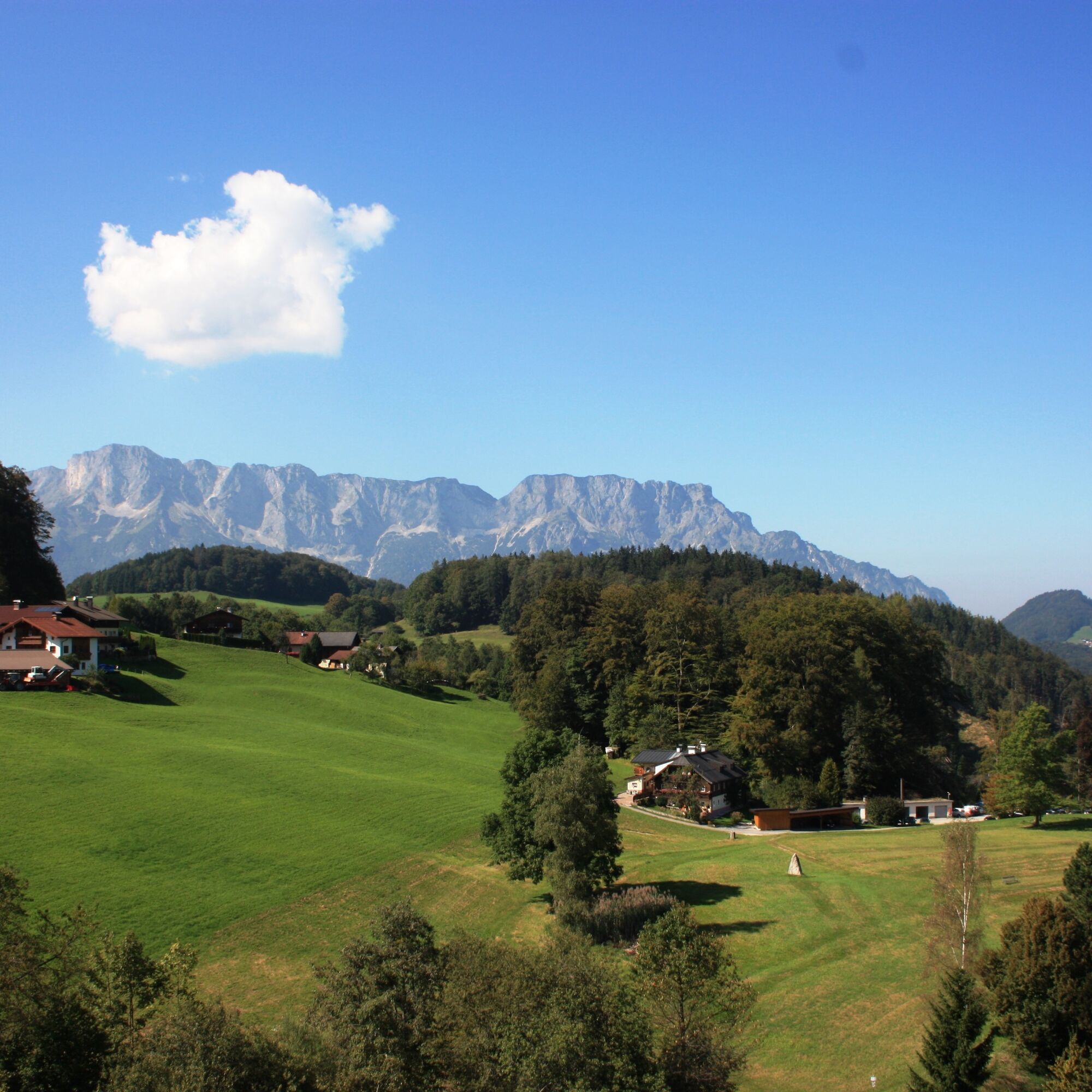
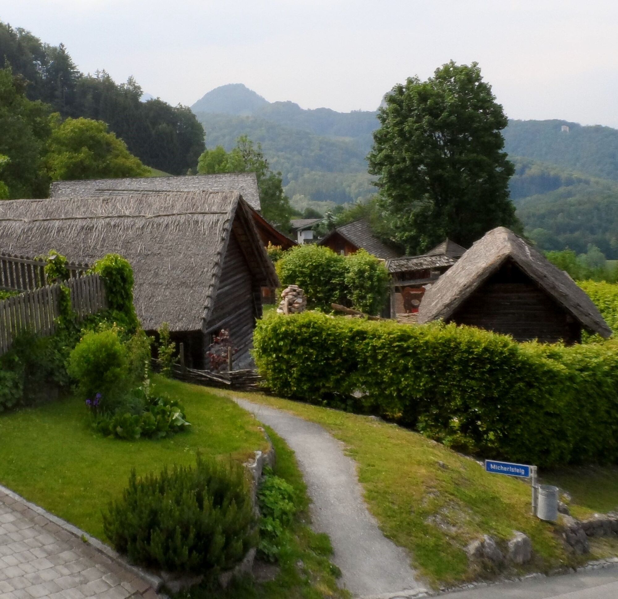
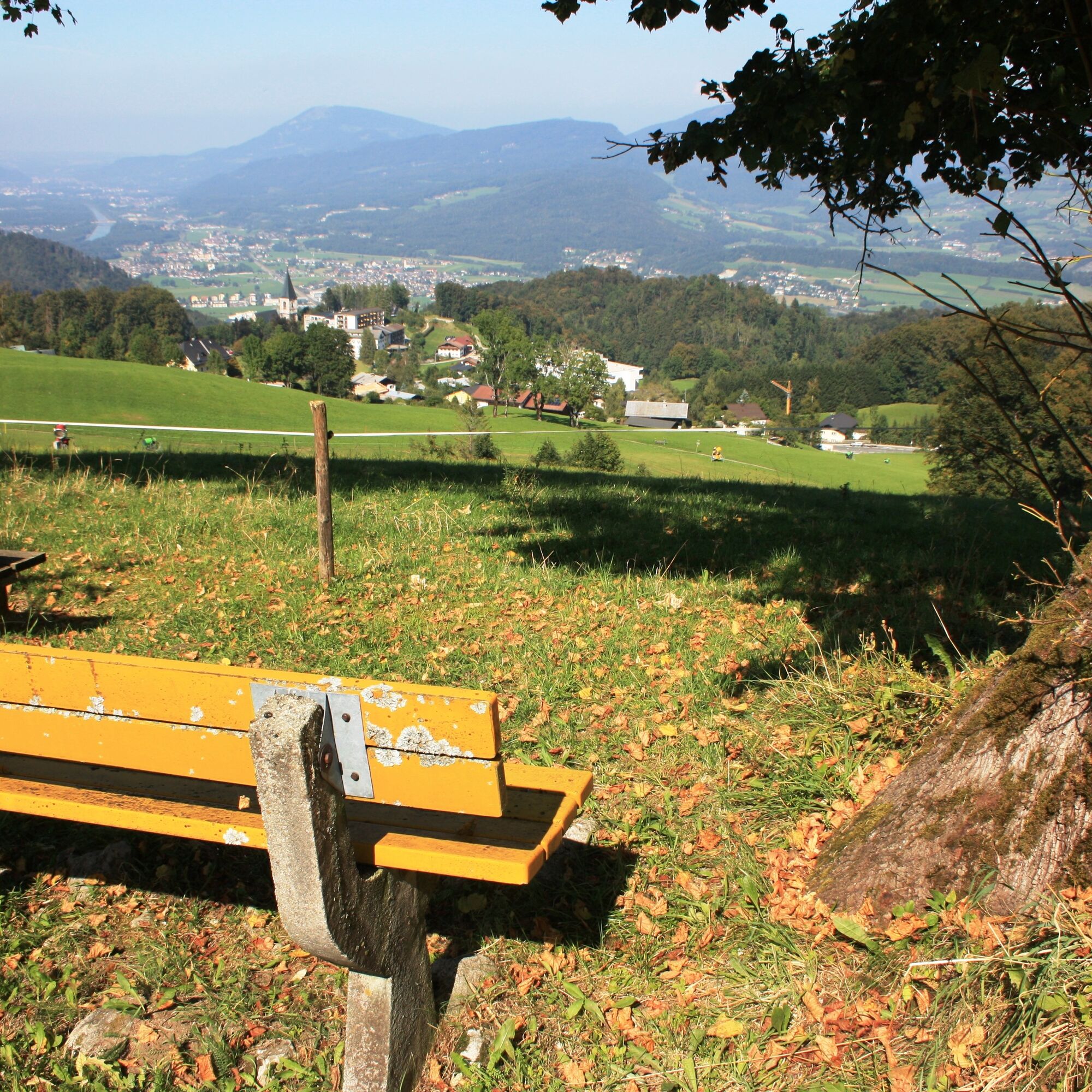
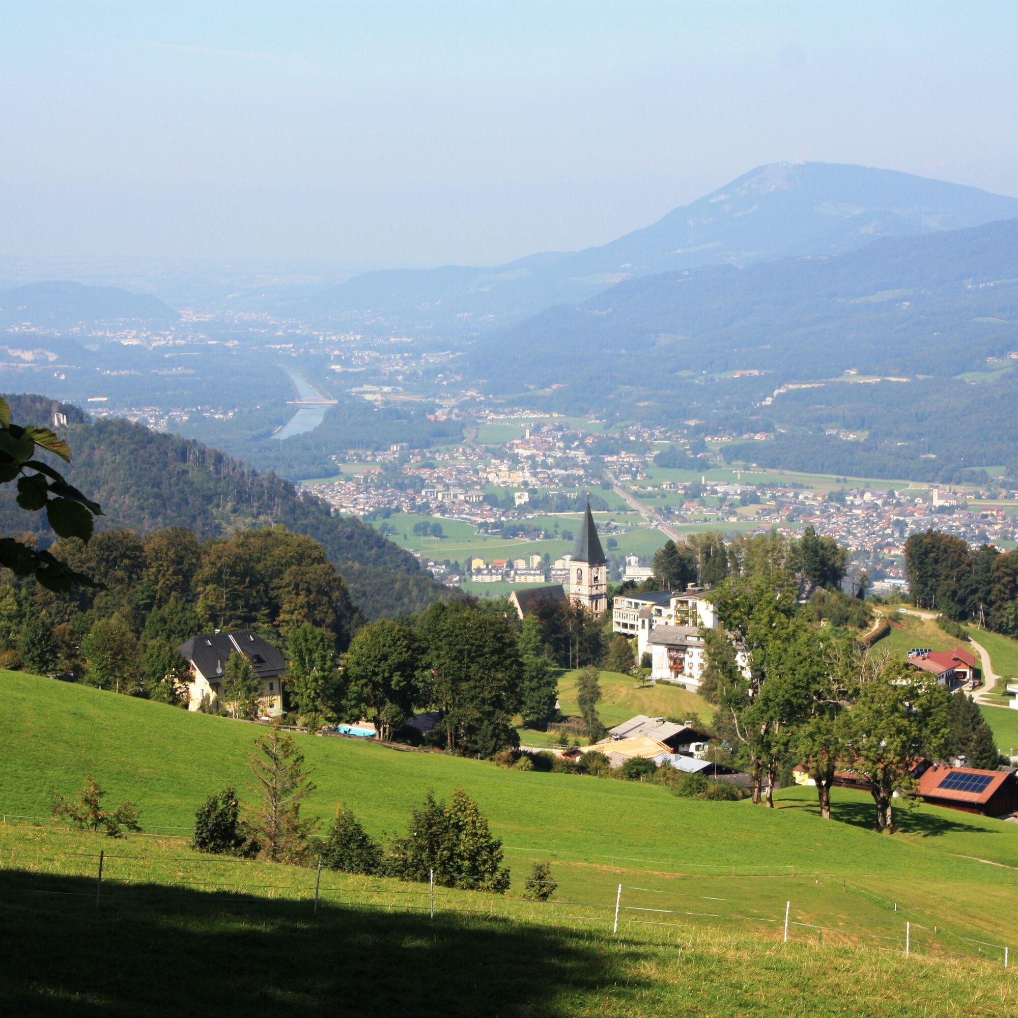
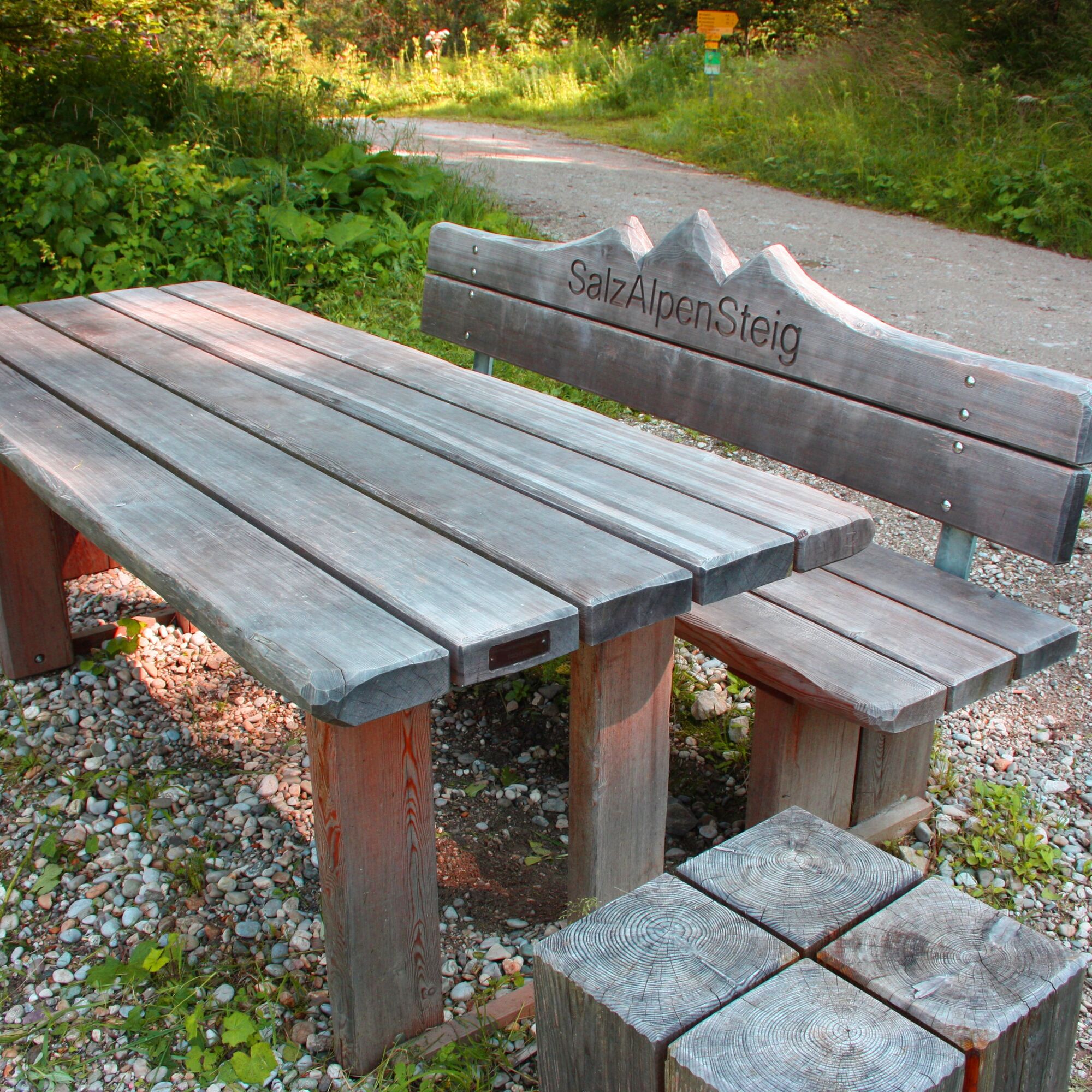
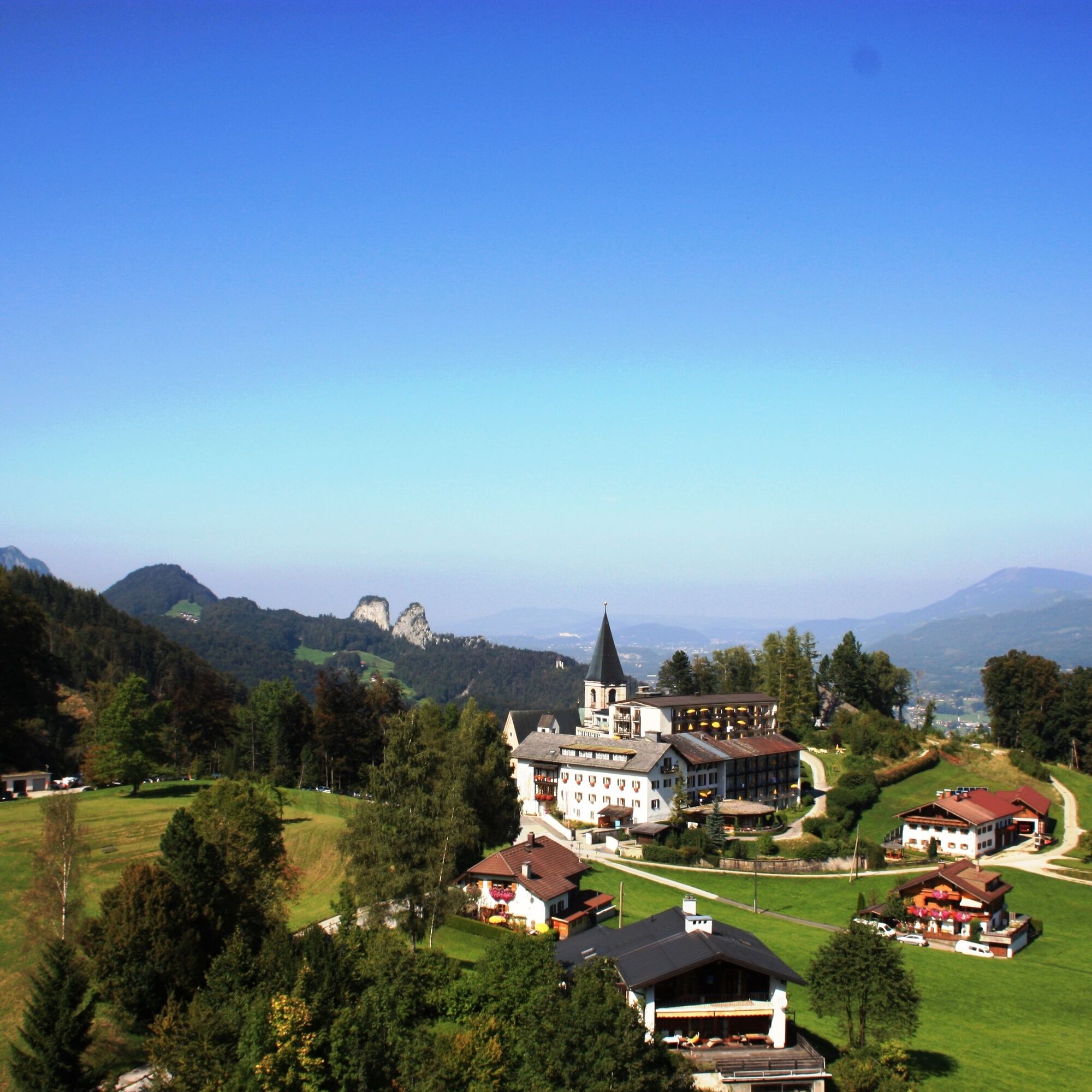
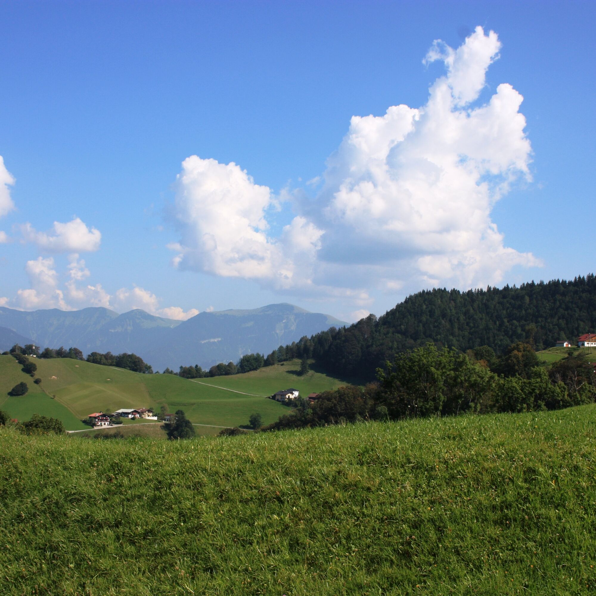
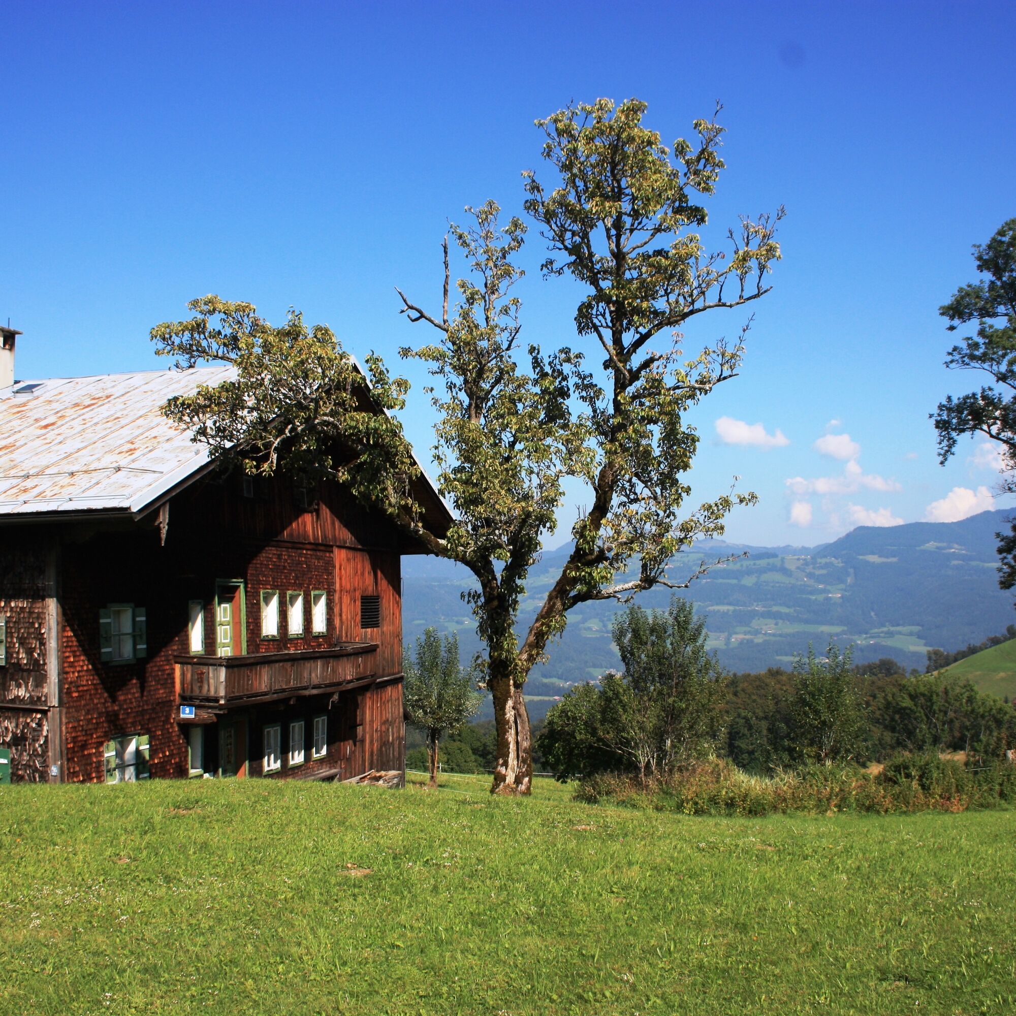
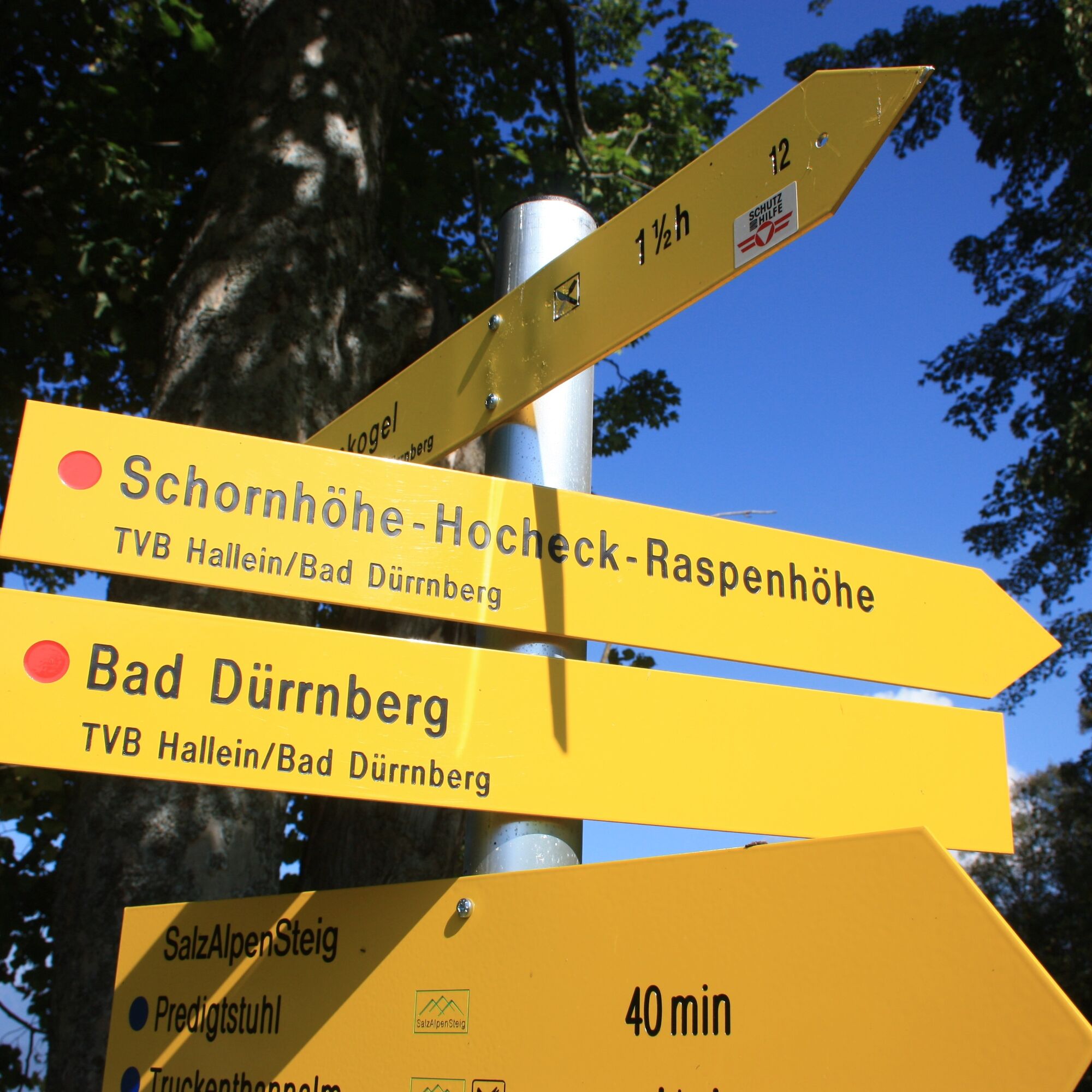
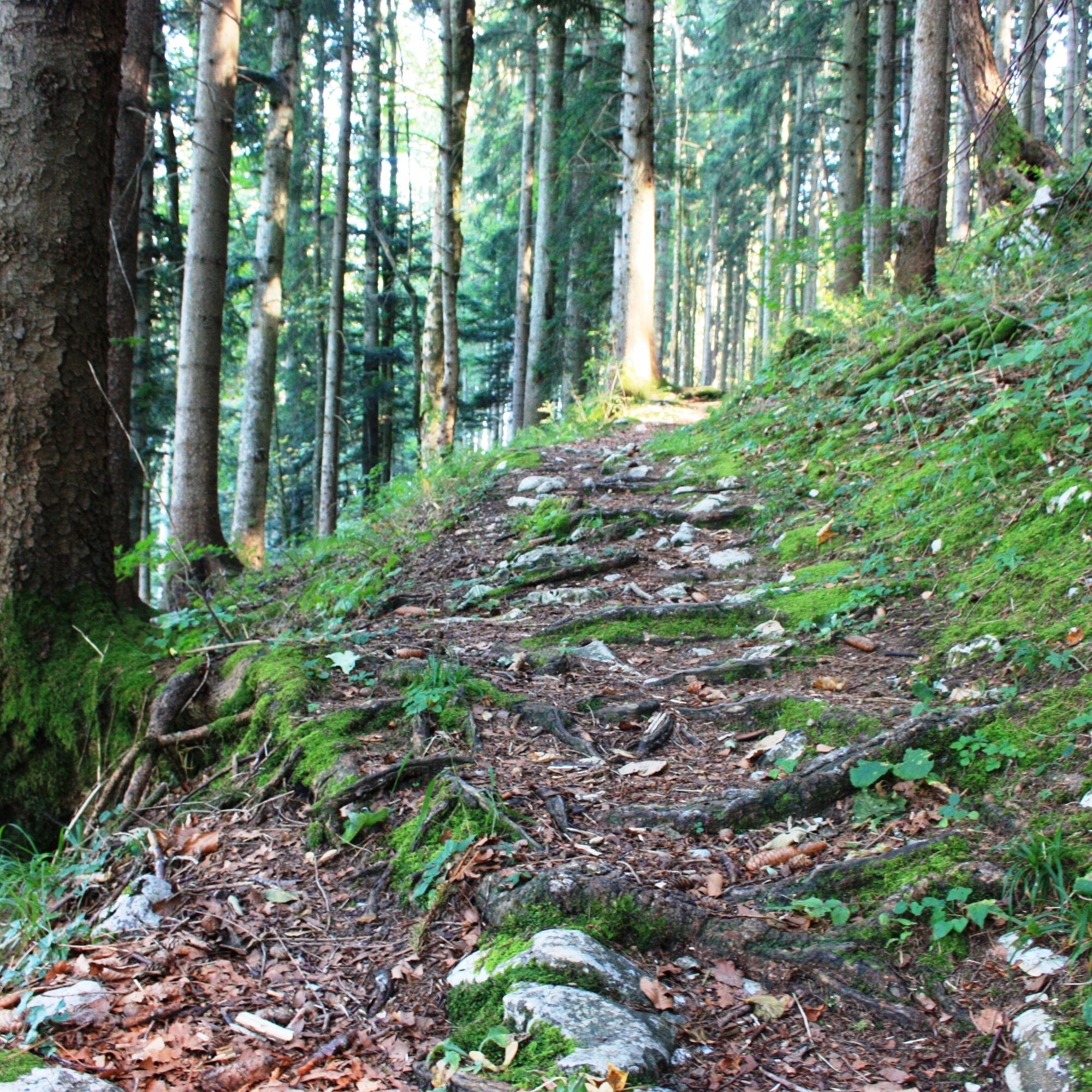
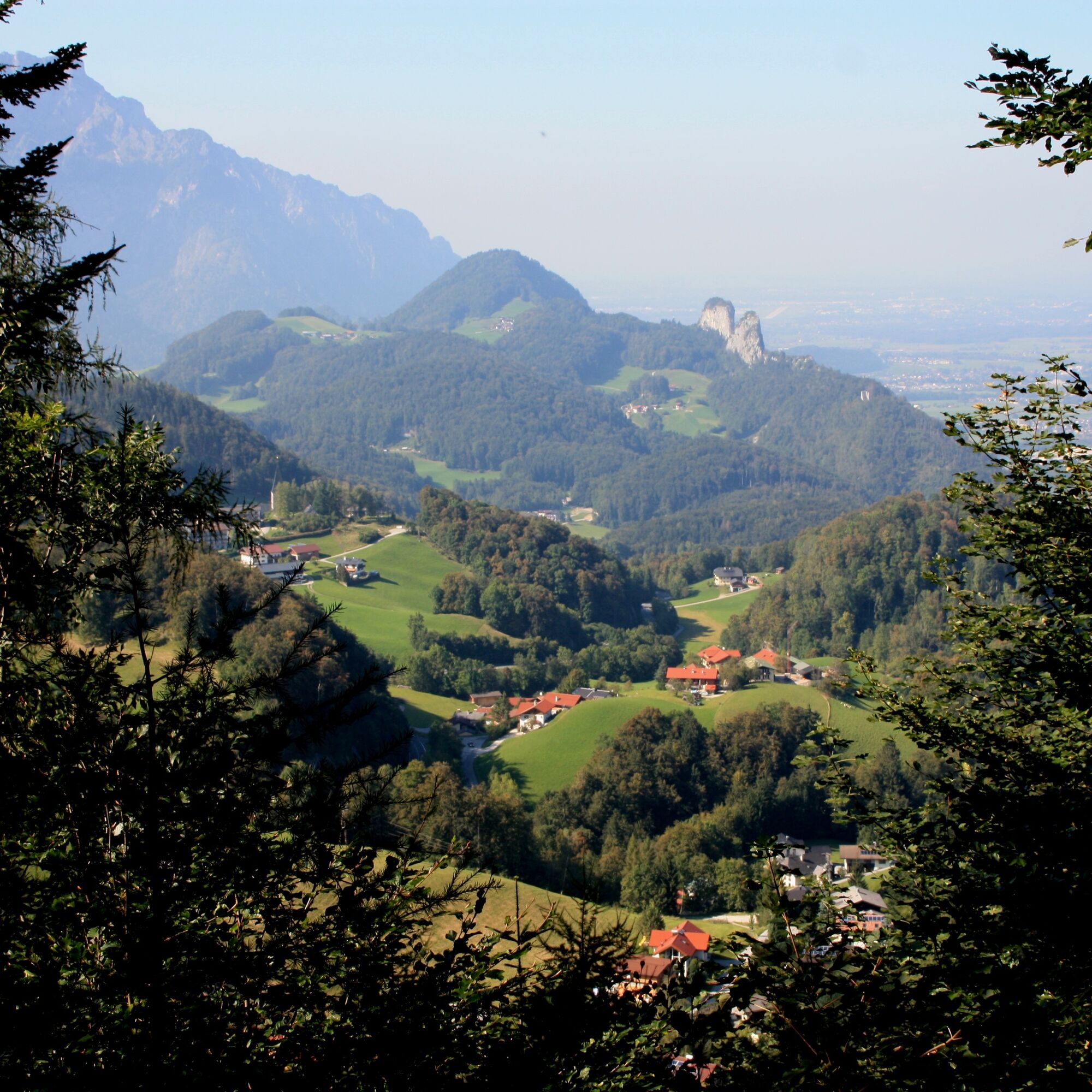
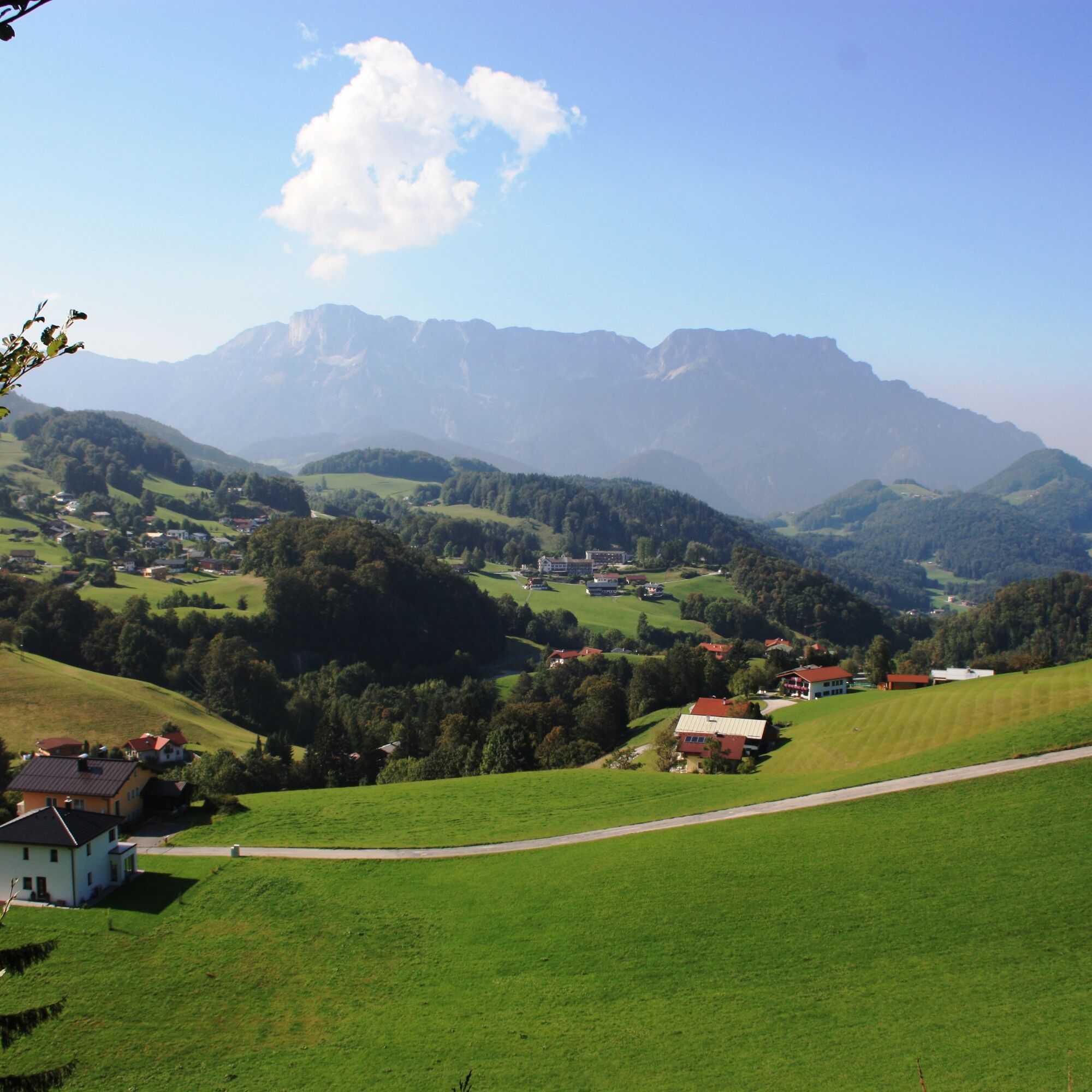
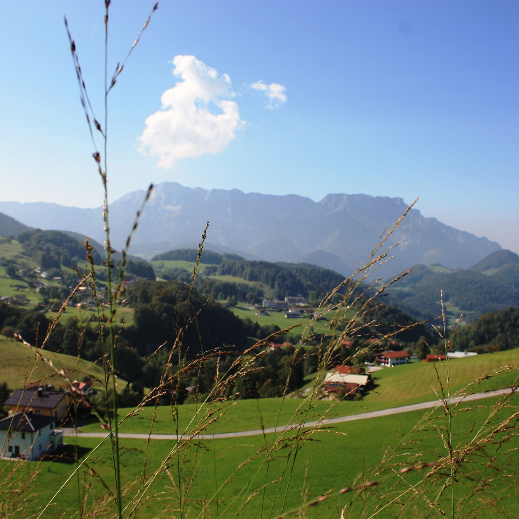
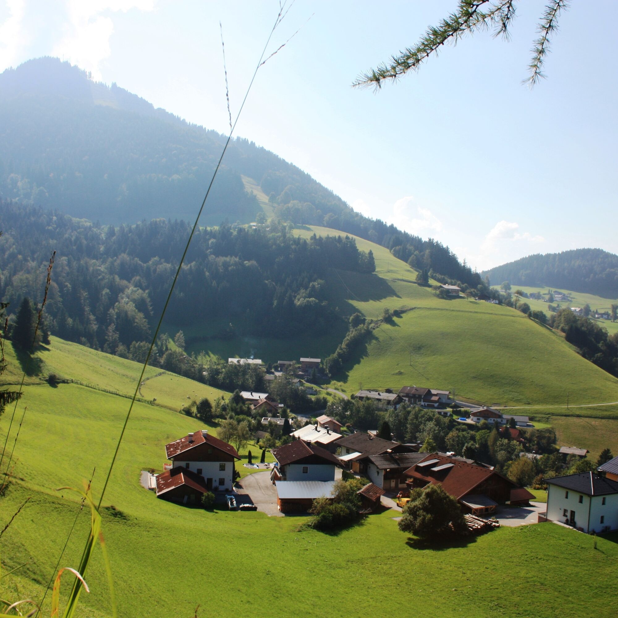
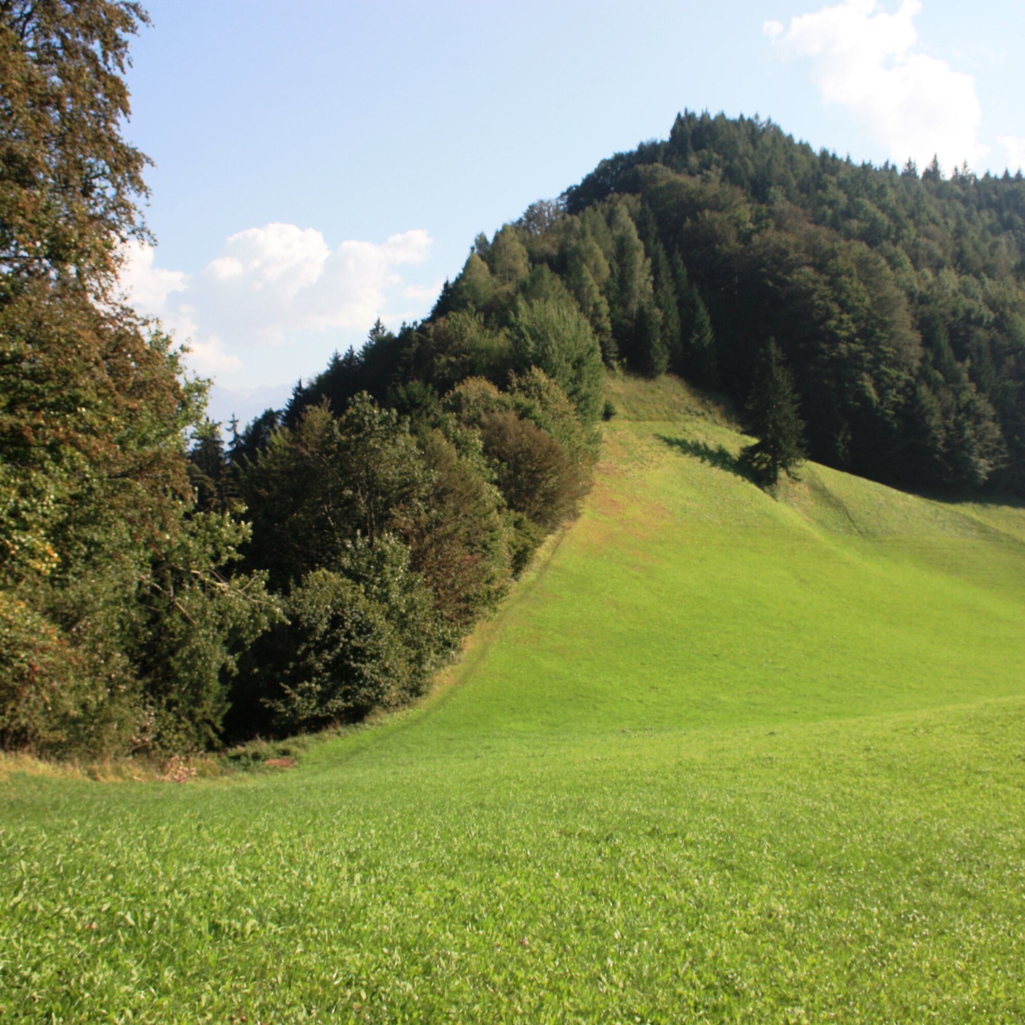

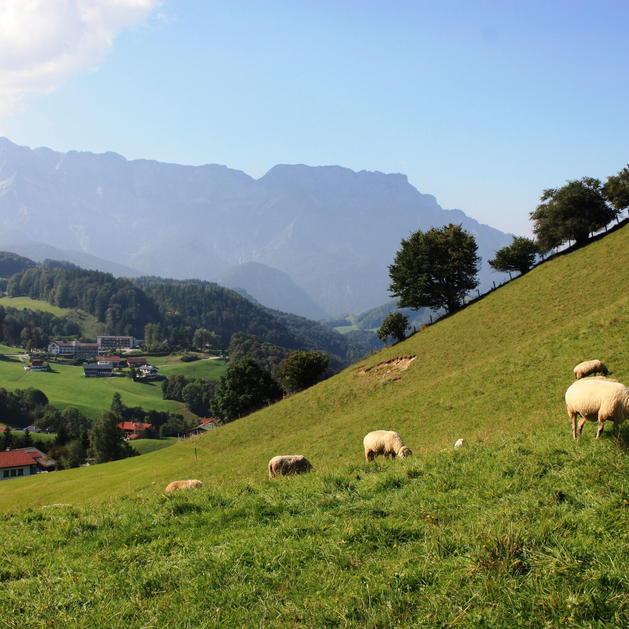
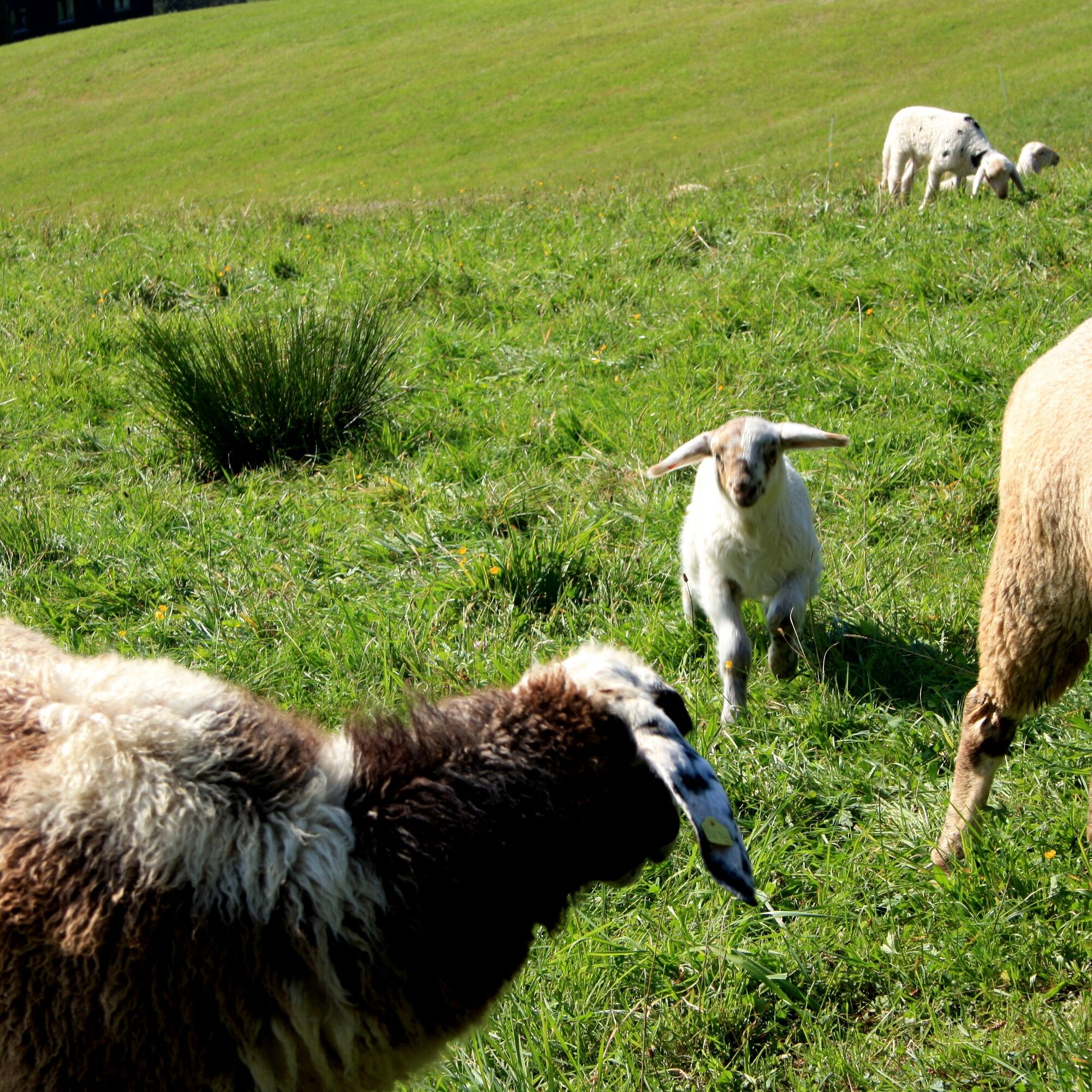
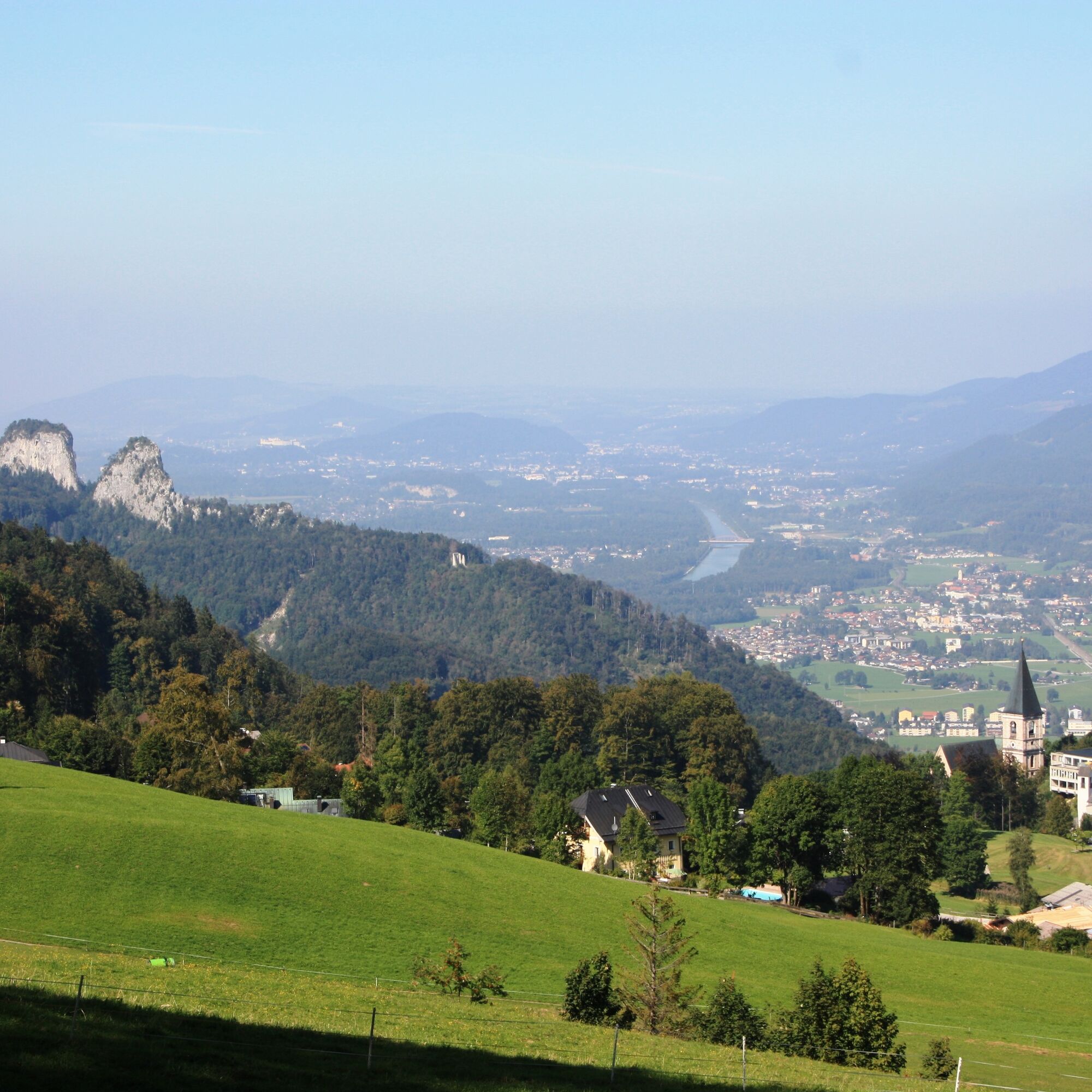
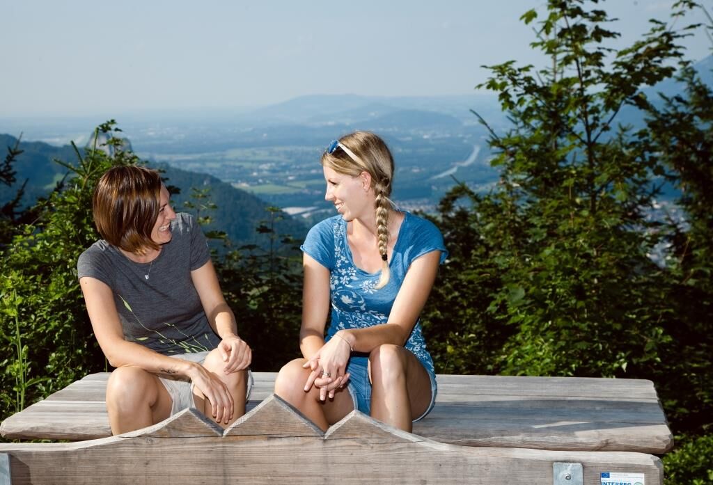

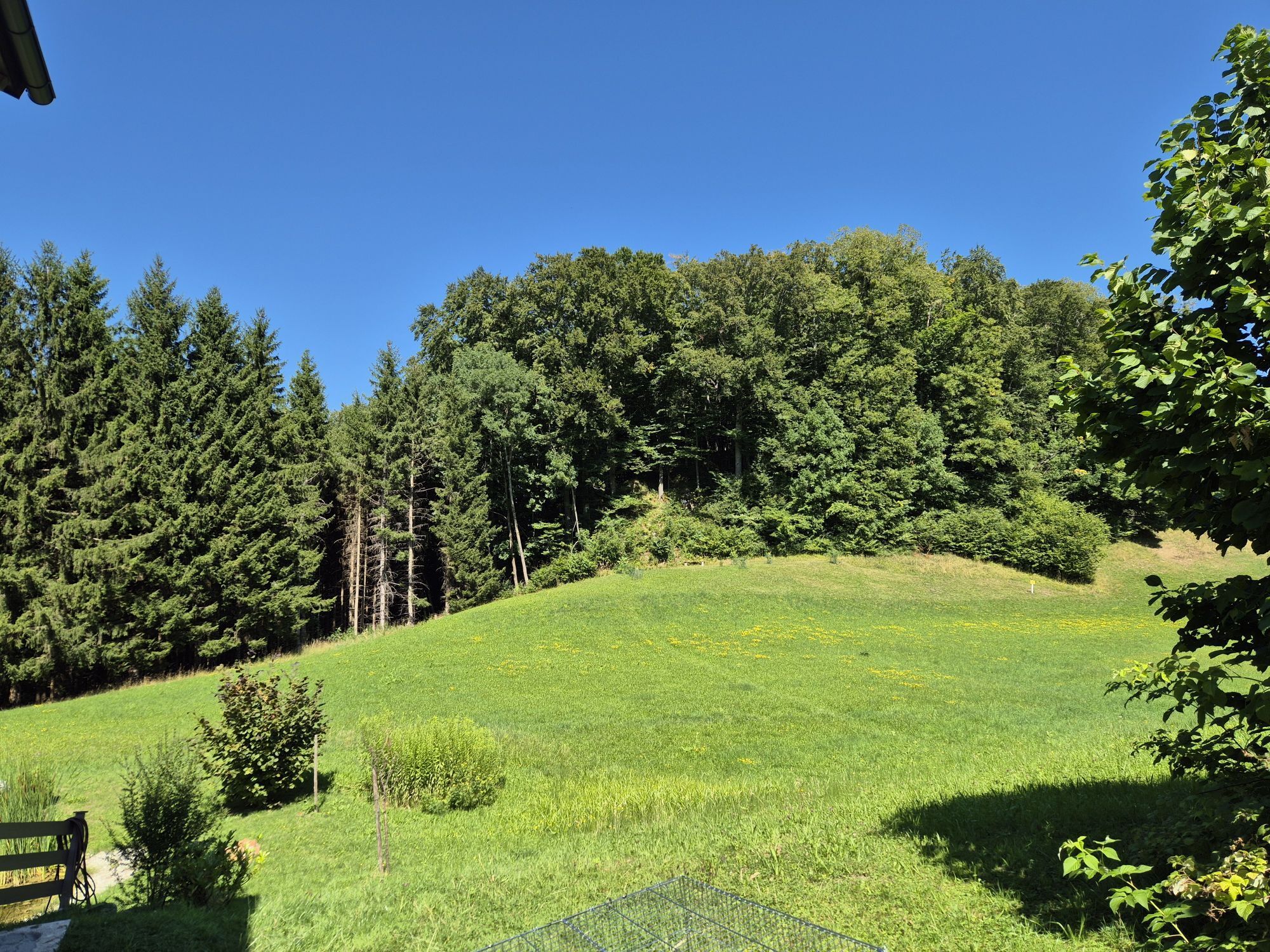
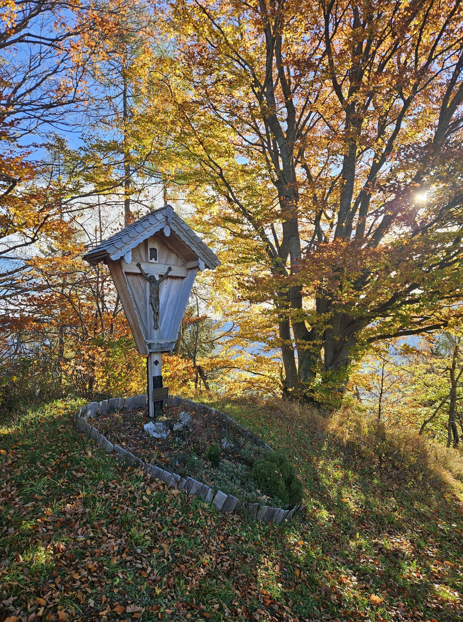
We start our little hike at the car park of the salt mine in Bad Dürrnberg. From here, we can already see the beautiful Dürrnberg pilgrimage church and hike uphill towards it. After the first steep section, we pass the church and walk along Hellstraße towards the St. Josef spa hotel. We leave the spa hotel and the EMCO clinic on our left behind and follow the signposts towards "Predigtstuhl/Hocheck" to the main road (Hofgasse). We cross this road diagonally to the left and then turn right into Rumpelgasse. We stay on this steep street for a while and then turn left into Teuffenbachweg. Behind the guesthouse "Sulzauhof" the paved path turns into a gravel road, which leads us over a large meadow. At a rest area, the path forks. We take the left fork (not towards Zinkenkogel) and walk into the dense coniferous forest that begins here. After a few meters, we cross the summer toboggan run on a bridge. On narrow forest paths, we continue straight through the forest. At a meadow, the forest thins and we go down a wooden stairway to the road, where we then turn right. We stay on this road for some time and reach the "Stockergut". Behind this beautiful farm, a wide forest road begins in the forest, which we follow for a few minutes. At a viewpoint with a "SalzAlpenSteig bench" we enjoy the view and a few meters further turn left onto the forest road to "Hocheck". On an idyllic forest path, we hike to the Hocheck viewpoint, which is accessible via a side path. Back on the hiking trail, the path leads us down some steps through the dense spruce forest until it opens up again and reveals a beautiful alpine panorama (towards the Untersberg massif). At the forest edge, we walk along a narrow meadow path past a wayside shrine and thus reach the paved road and the Raspenhöhe water reservoir. With some luck, you may encounter a grazing flock of sheep here, whose lambs make the mountain scenery truly romantic. Continuing downhill on the paved road (past a barrier) into the settlement. At the first junction, we turn sharply right into Plaickstraße and continue following the signpost (Hocheck). Shortly after, we turn left onto "Raspenhöhenweg" and continue on the narrow road until we reach the state road. However, we do not cross it but keep going straight until we reach Glannerbergweg. We follow Glannerbergweg until it meets the state road again, cross it, and are now back at the car park of the salt mine.
Tak
Sturdy footwear is recommended for this hike.
Always keep in mind that on the hikes described here you are in the mountains, in nature, and partly in alpine terrain. Our content has been compiled with great care, but liability is expressly excluded. Risks can never be completely ruled out, and the use of all information and route descriptions is at your own risk!
On the Tauern motorway (A10), take the Hallein exit (Exit 16) towards Hallein. Follow the signs to the “Zentrum” and turn right onto Pernerinsel at the city bridge. From here, continue towards Bad Dürrnberg. There is a large car park at the salt mine in Bad Dürrnberg.
Take the train to Hallein station, then take bus no. 41 towards Bad Dürrnberg (stop: Salzbergwerk).
Large gravel car park at the salt mine Bad Dürrnberg.
Information and tips on hiking in Hallein:
http://www.hallein.com/erlebnis-sport/wandern
Pack a small snack – on the hike there is only a place to eat at the beginning (or at the end).


Kamery internetowe z trasy



Popularne wycieczki w okolicy
-
4,7
Schwarzer Berg / Golling
średniWędrówka 2,54 km -
4,6
Kneifelspitze
Wędrówka 2,53 km -
4,1
Malerwinkel Rundwanderweg
światłoWędrówka 3,60 km -
4,2
Durch die Almbachklamm nach Ettenberg
Wędrówka 7,54 km -
4,5
Grünstein
światłoWędrówka 2,57 km -
4,2
Untersberg, Toni-Lenz-Hütte
Wędrówka 4,86 km -
4,0
Rundwanderweg zur Steinernen Agnes
Wędrówka 9 km -
4,7
Great and Small Barmstein, the landmarks of Hallein
ciężkiWędrówka 6,58 km -
4,1
Soleleitungsweg
Wędrówka 10,5 km -
4,9
Untersberg (Salzburger Hochthron)
średniWędrówka 11,8 km
Wędrówki i tropienie


Nie przegap ofert i inspiracji na następne wakacje
Twój adres e-mail została dodana do listy mailingowej.





