






HOHE TAUERN PANORAMA TRAIL | ET03: Kröndlhorn | Königsleiten-GH Rechtegg
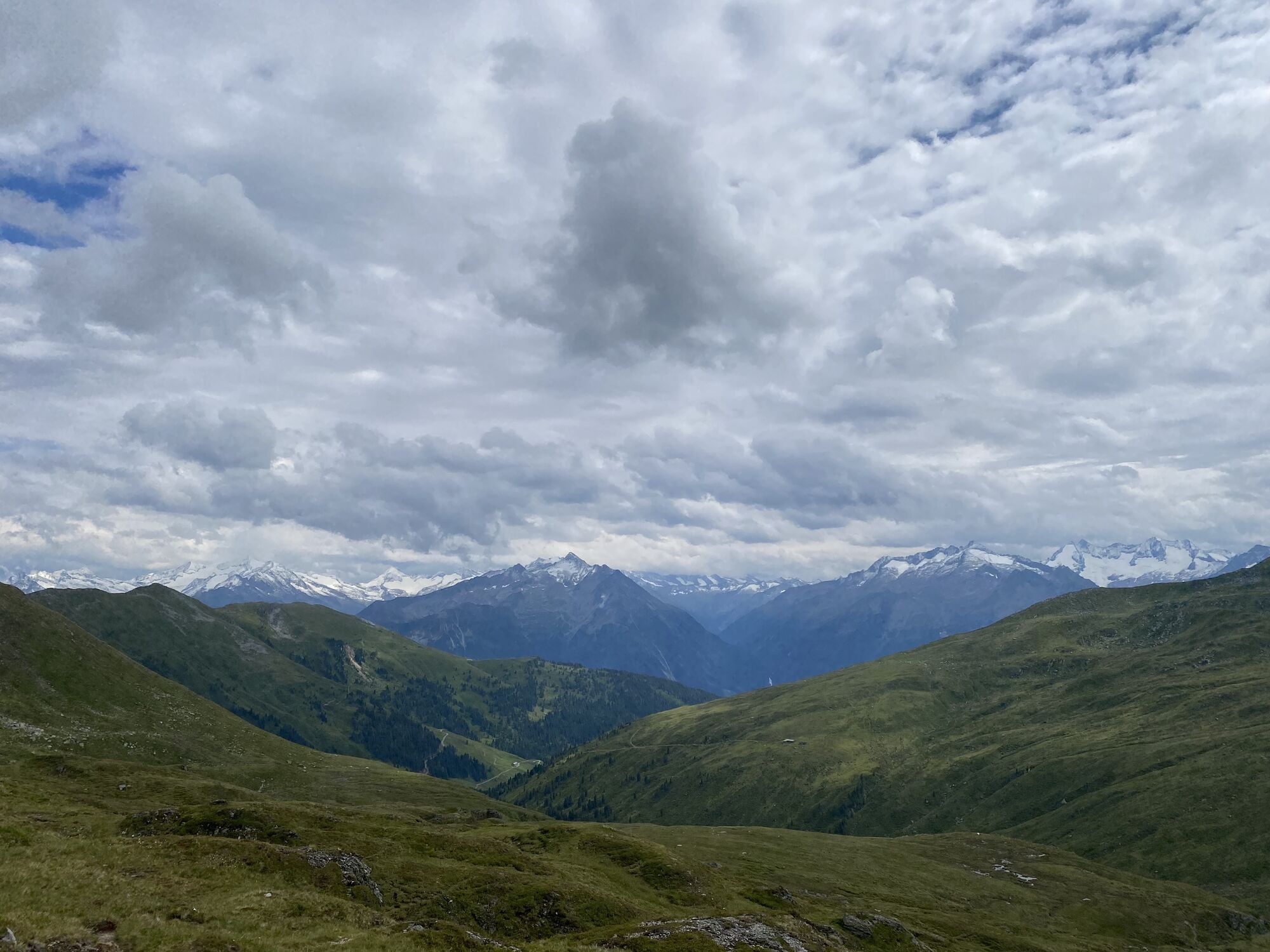
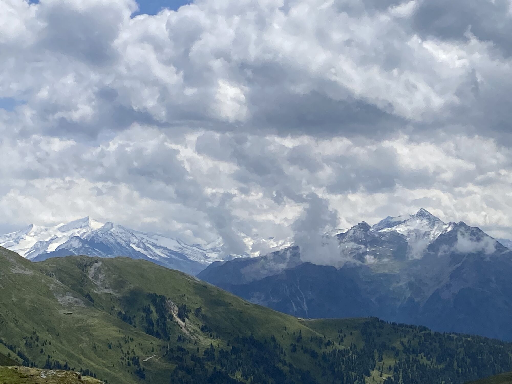
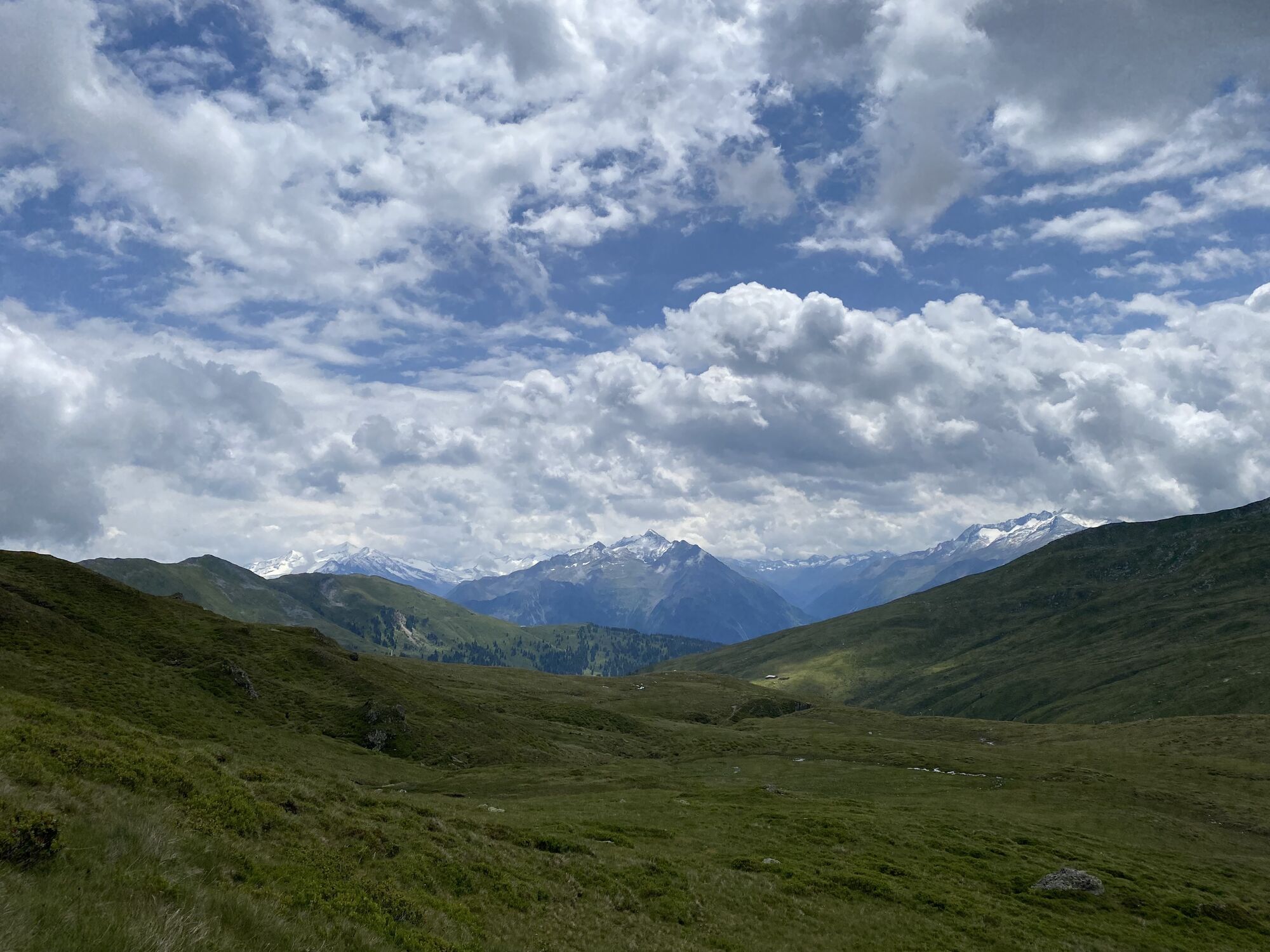
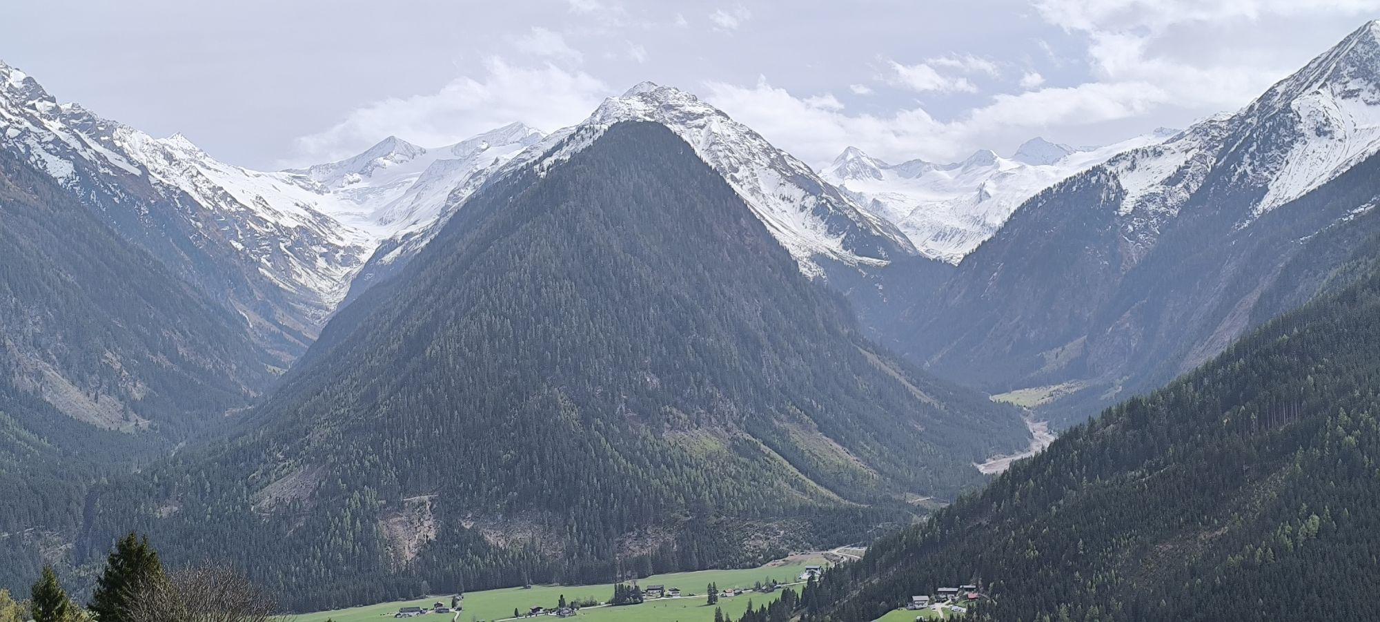
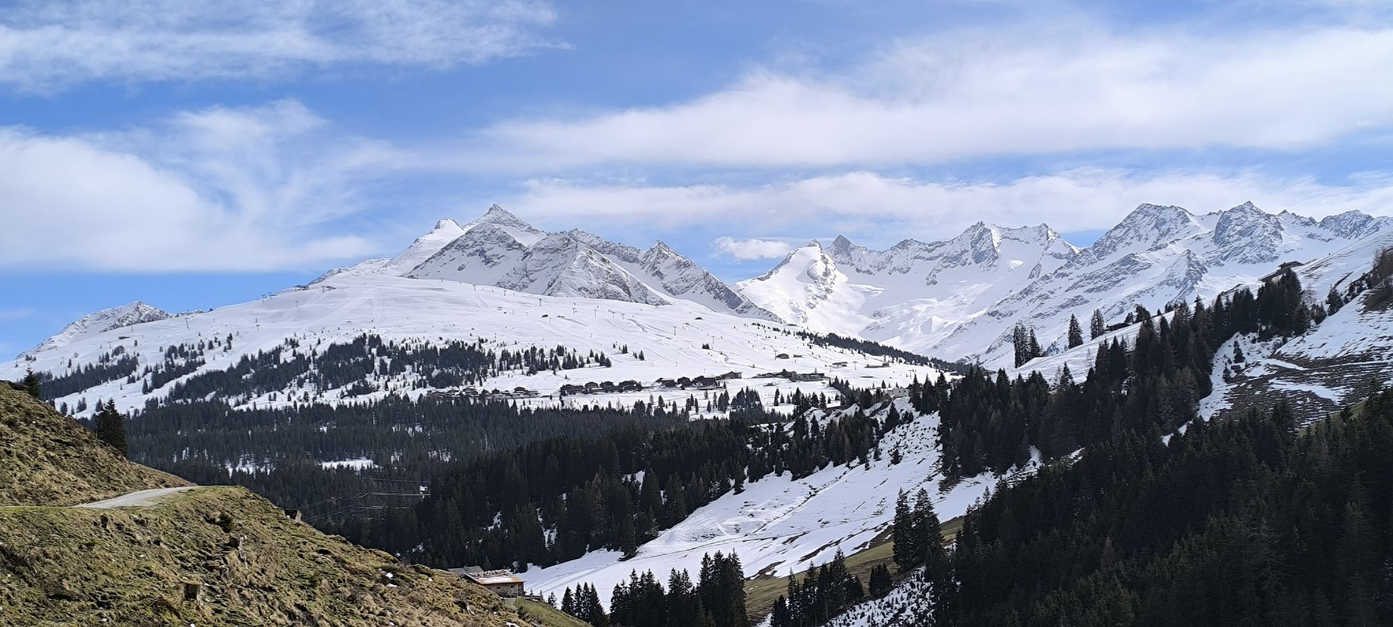
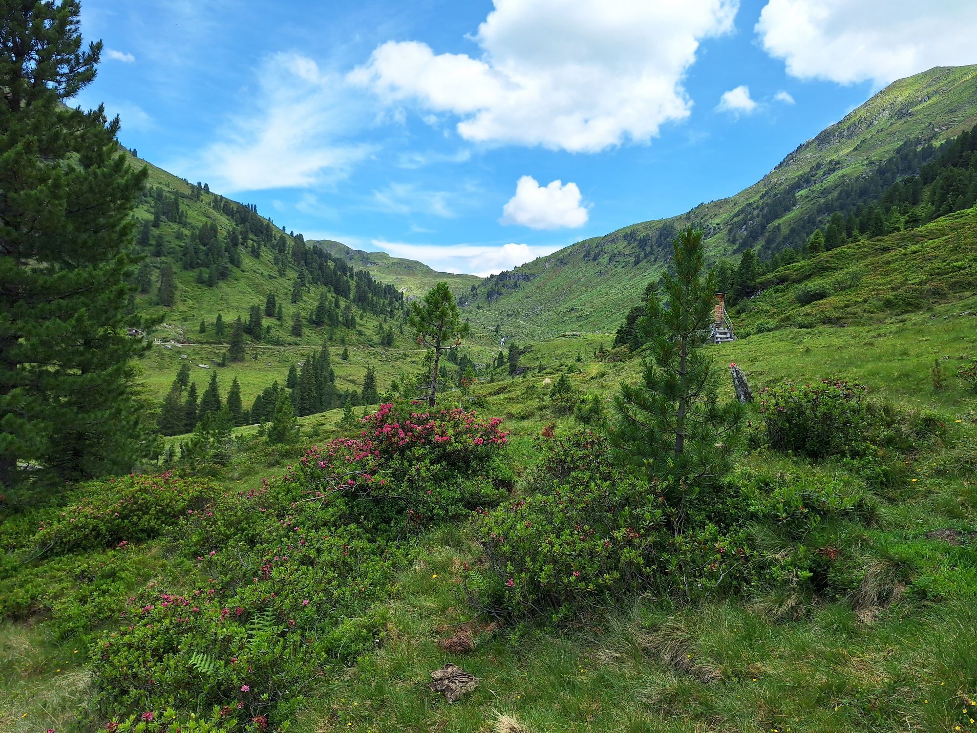
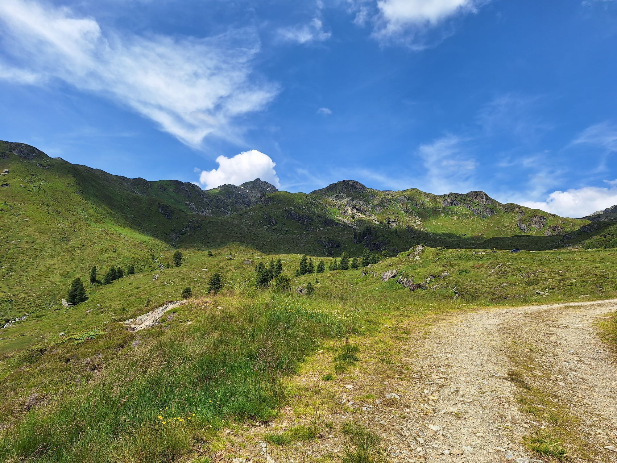
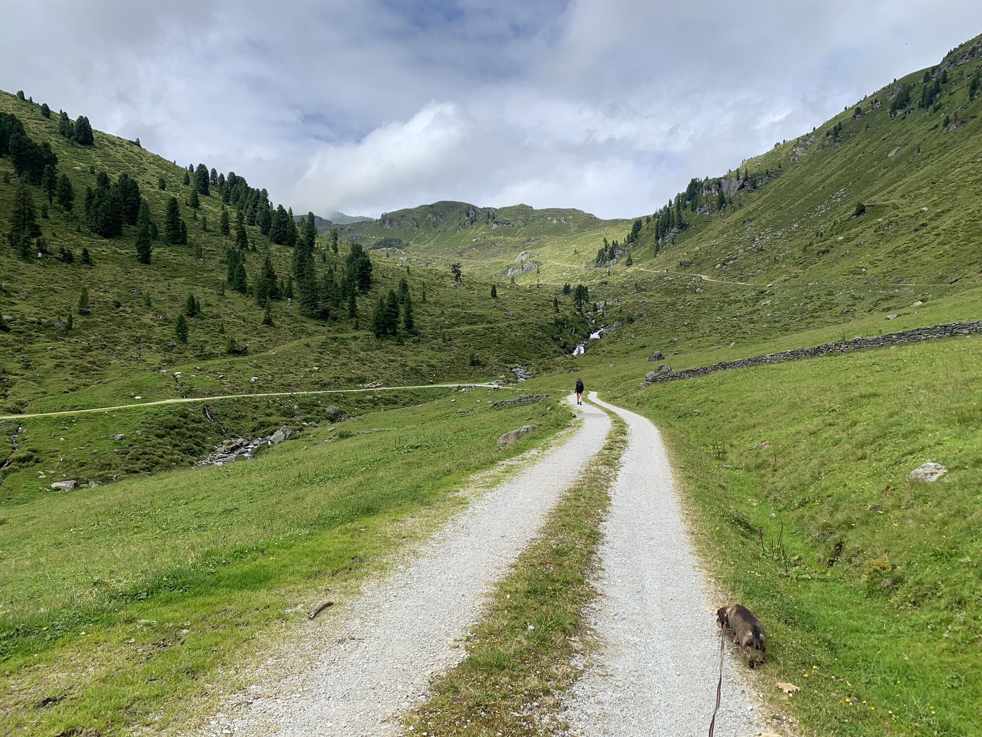
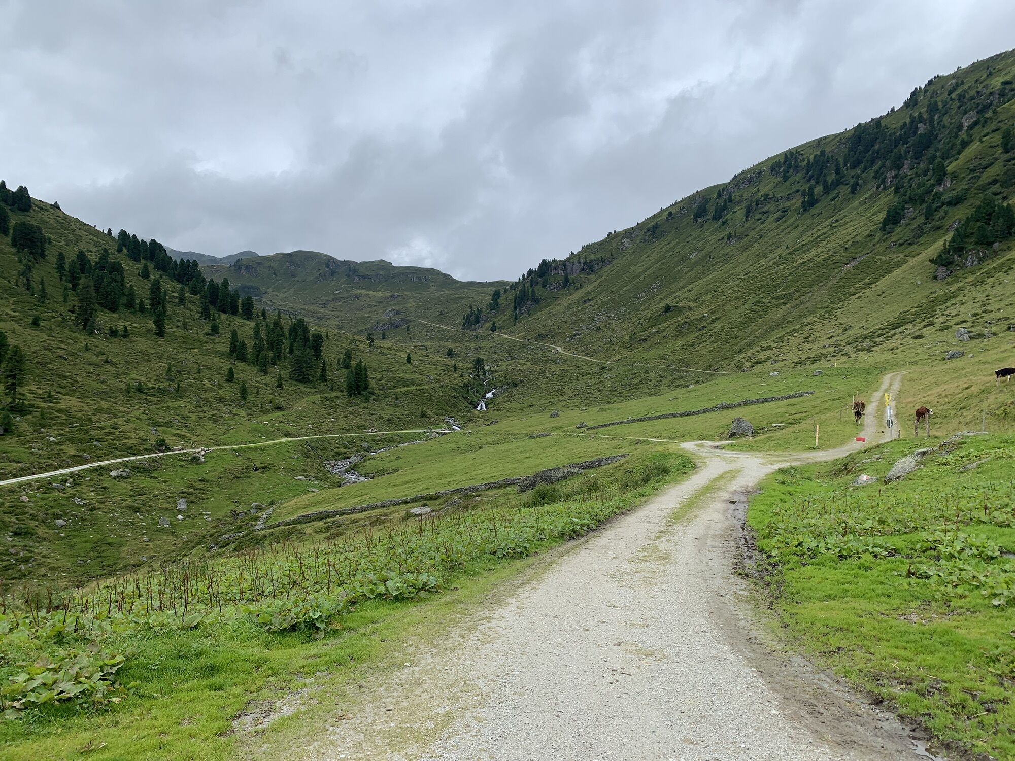
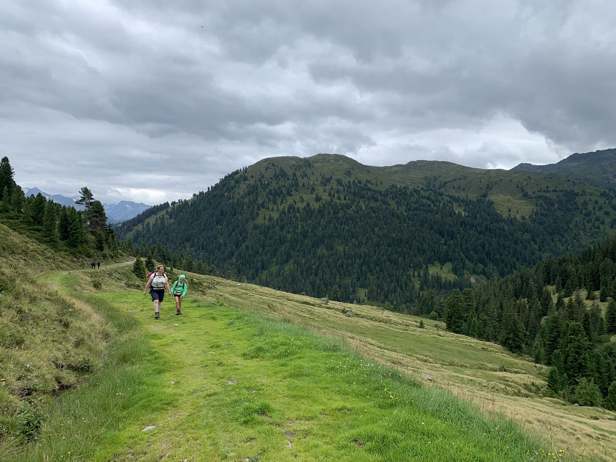
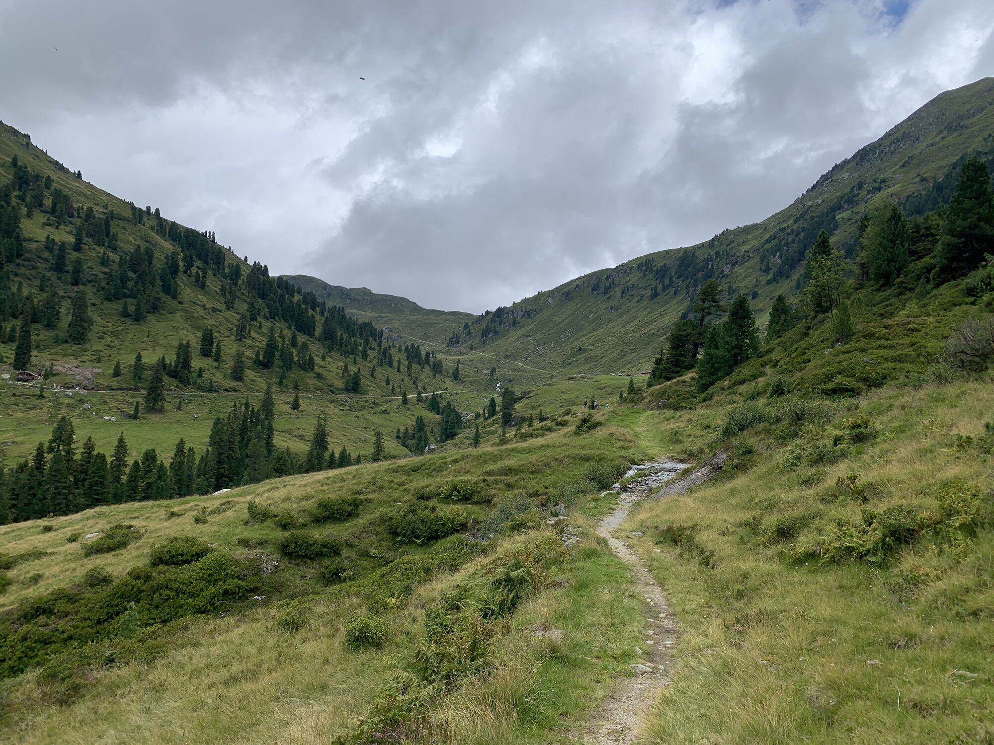
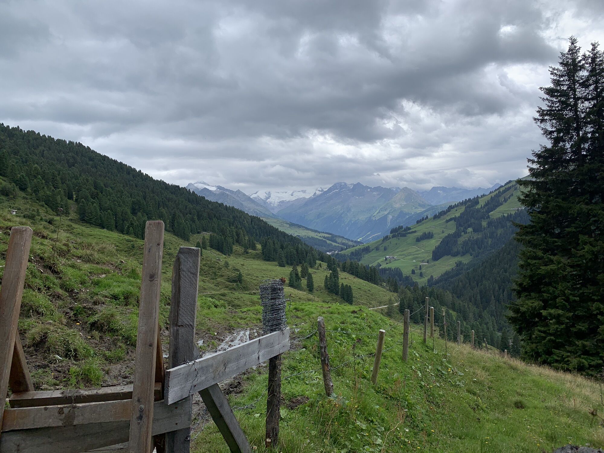
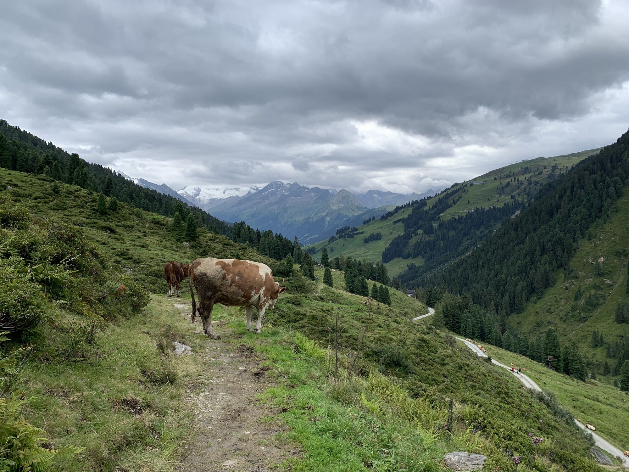
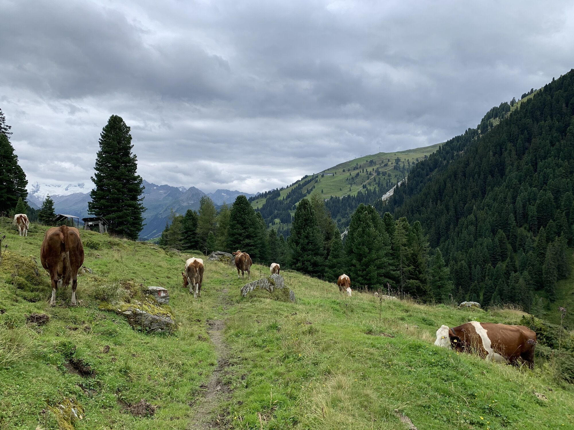
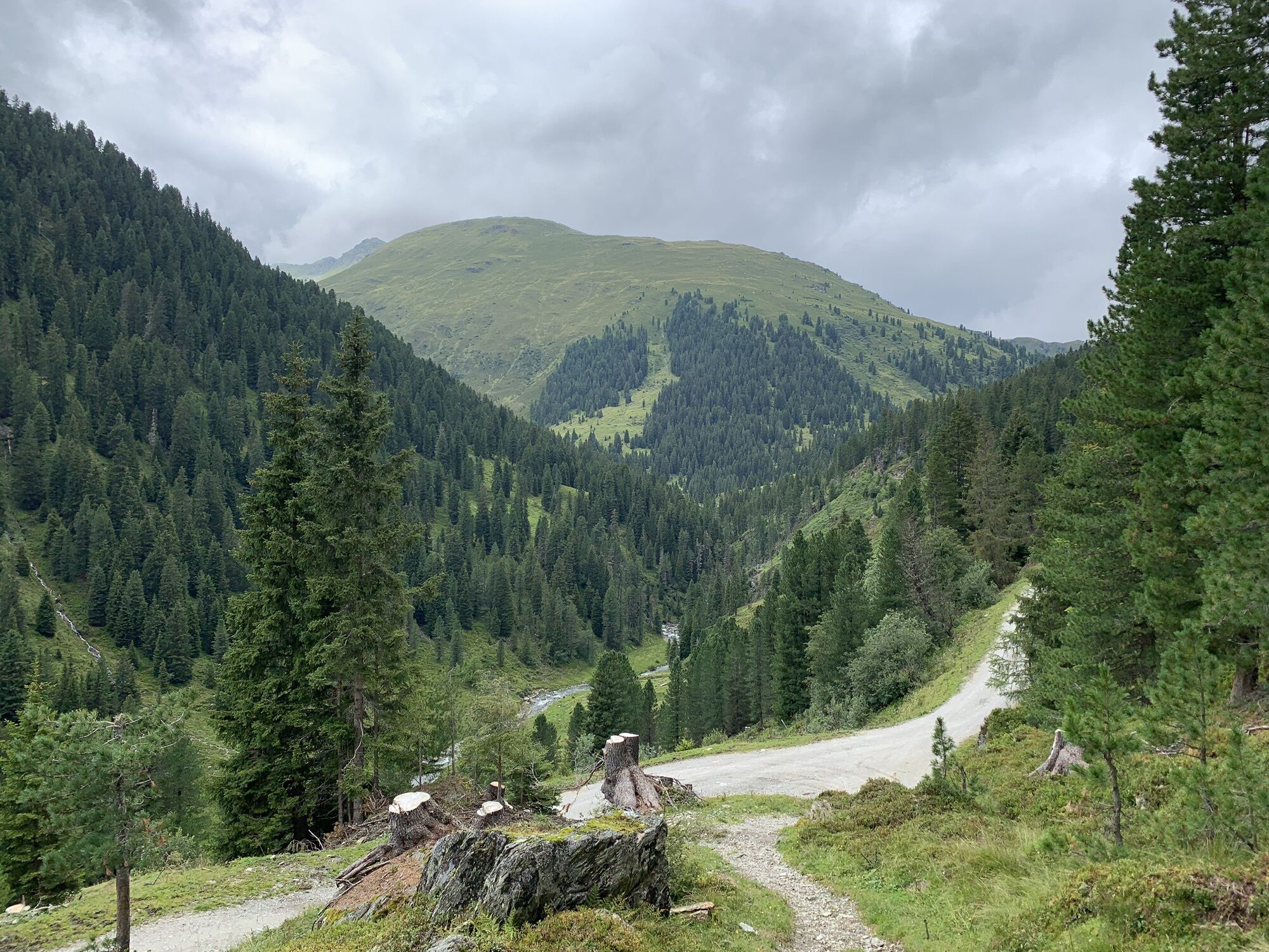
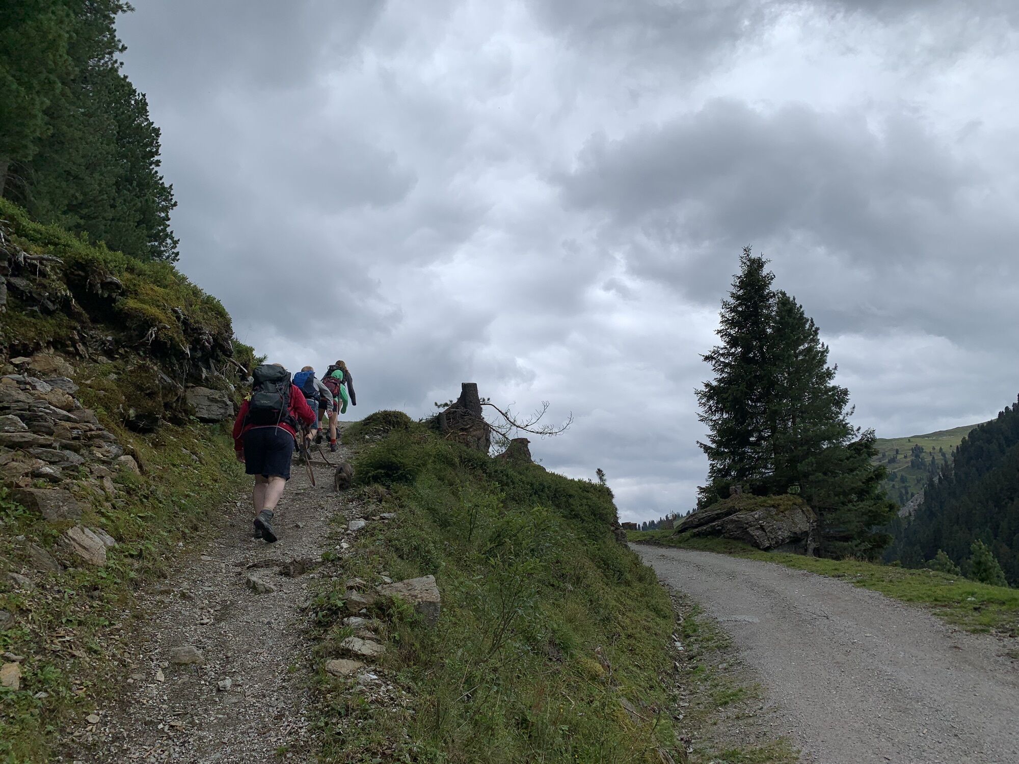
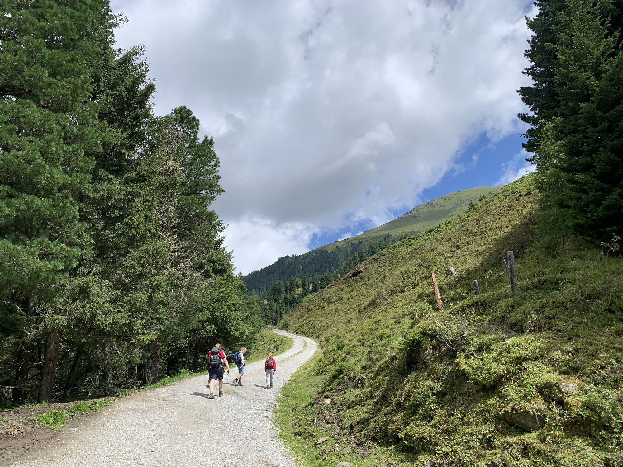
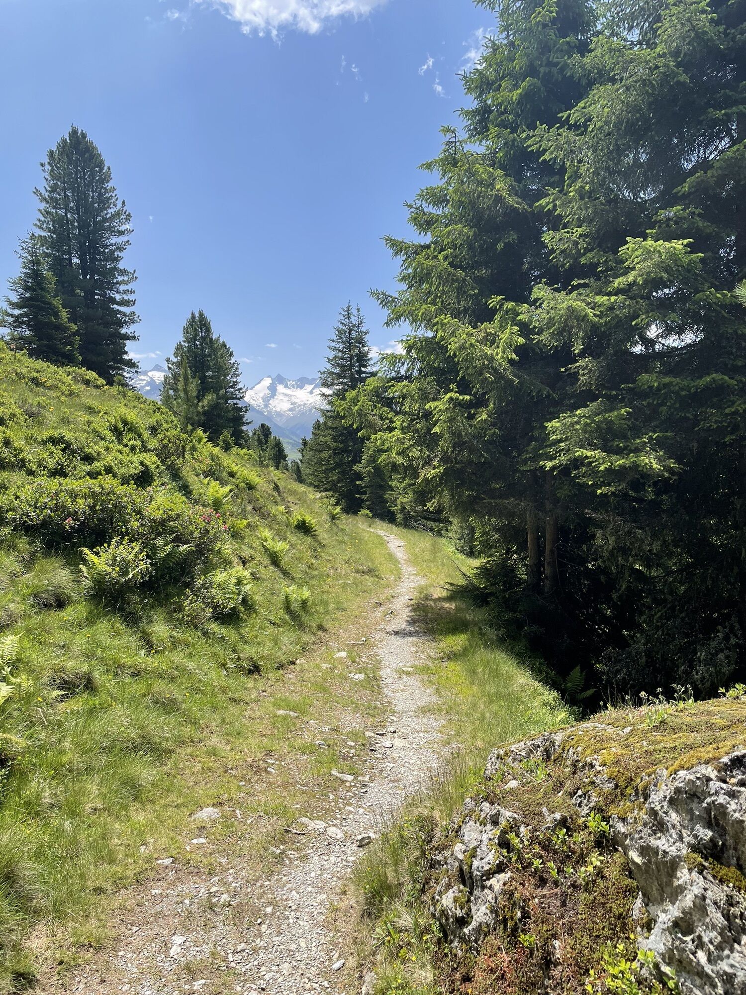
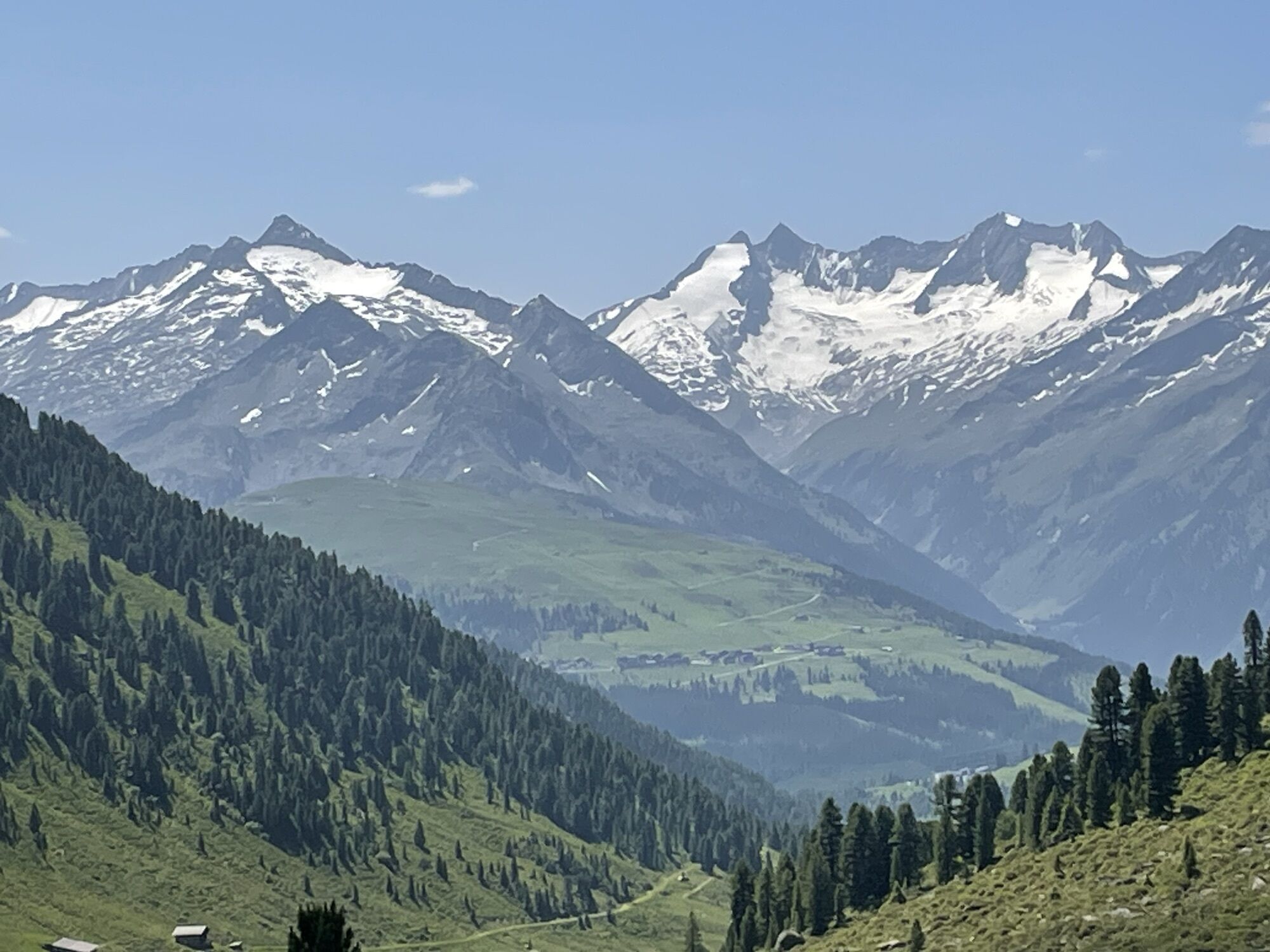
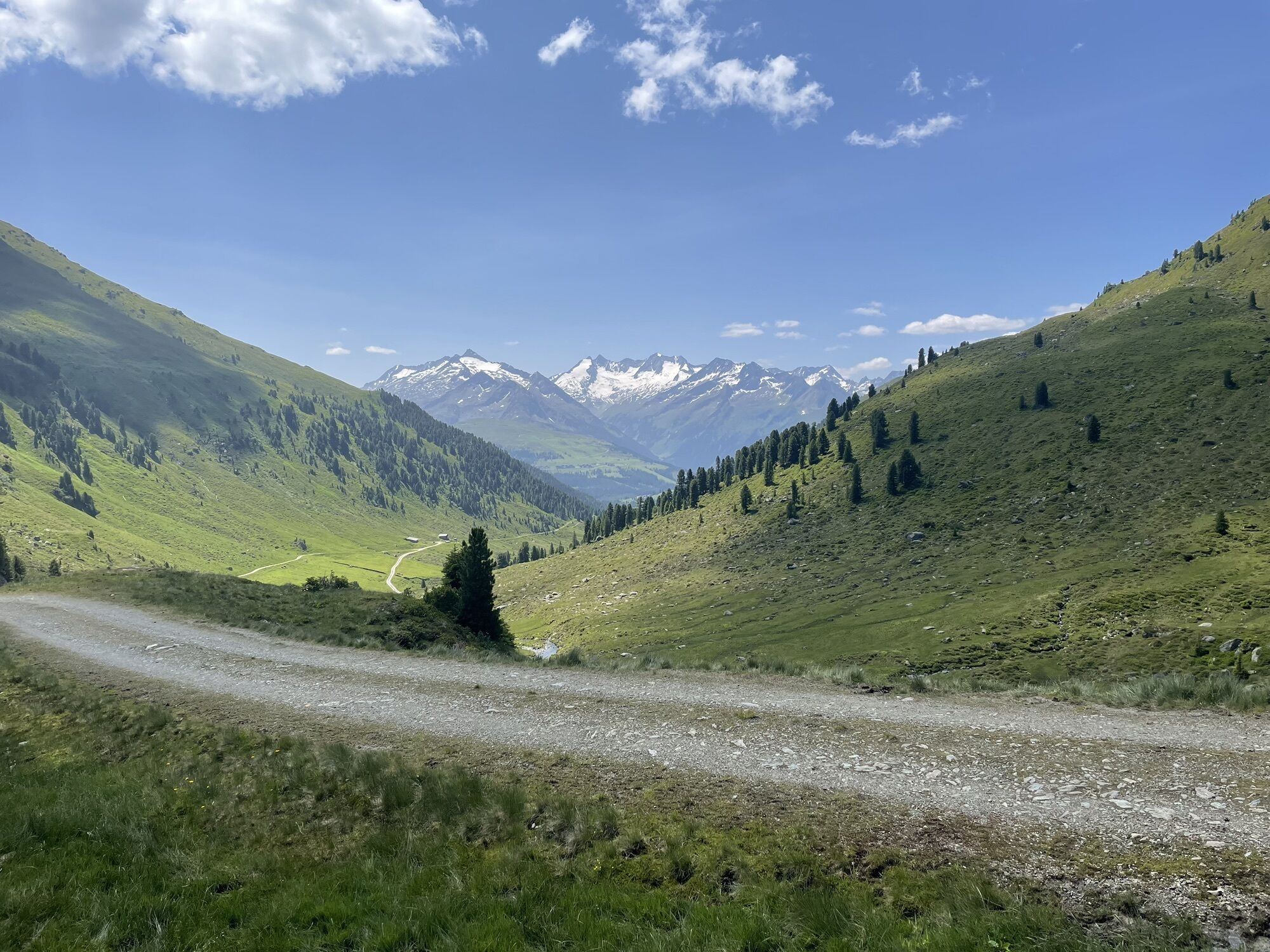
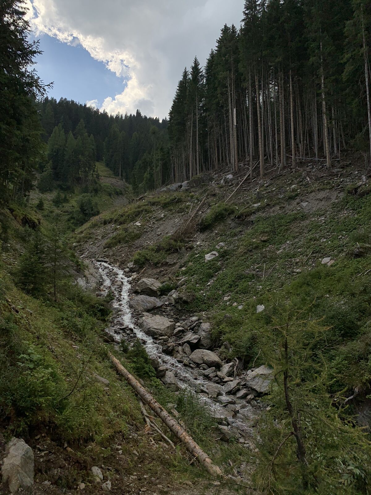
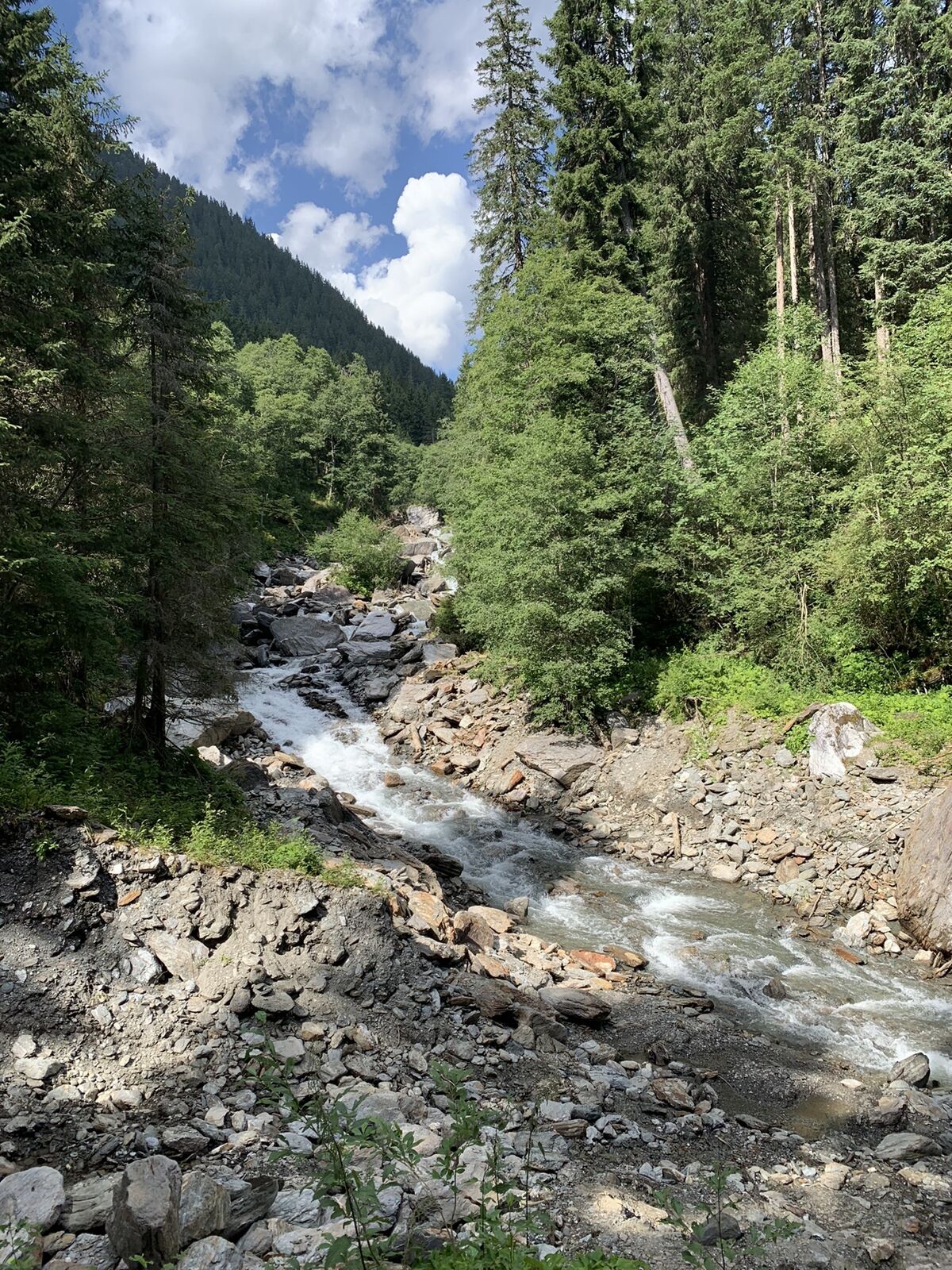
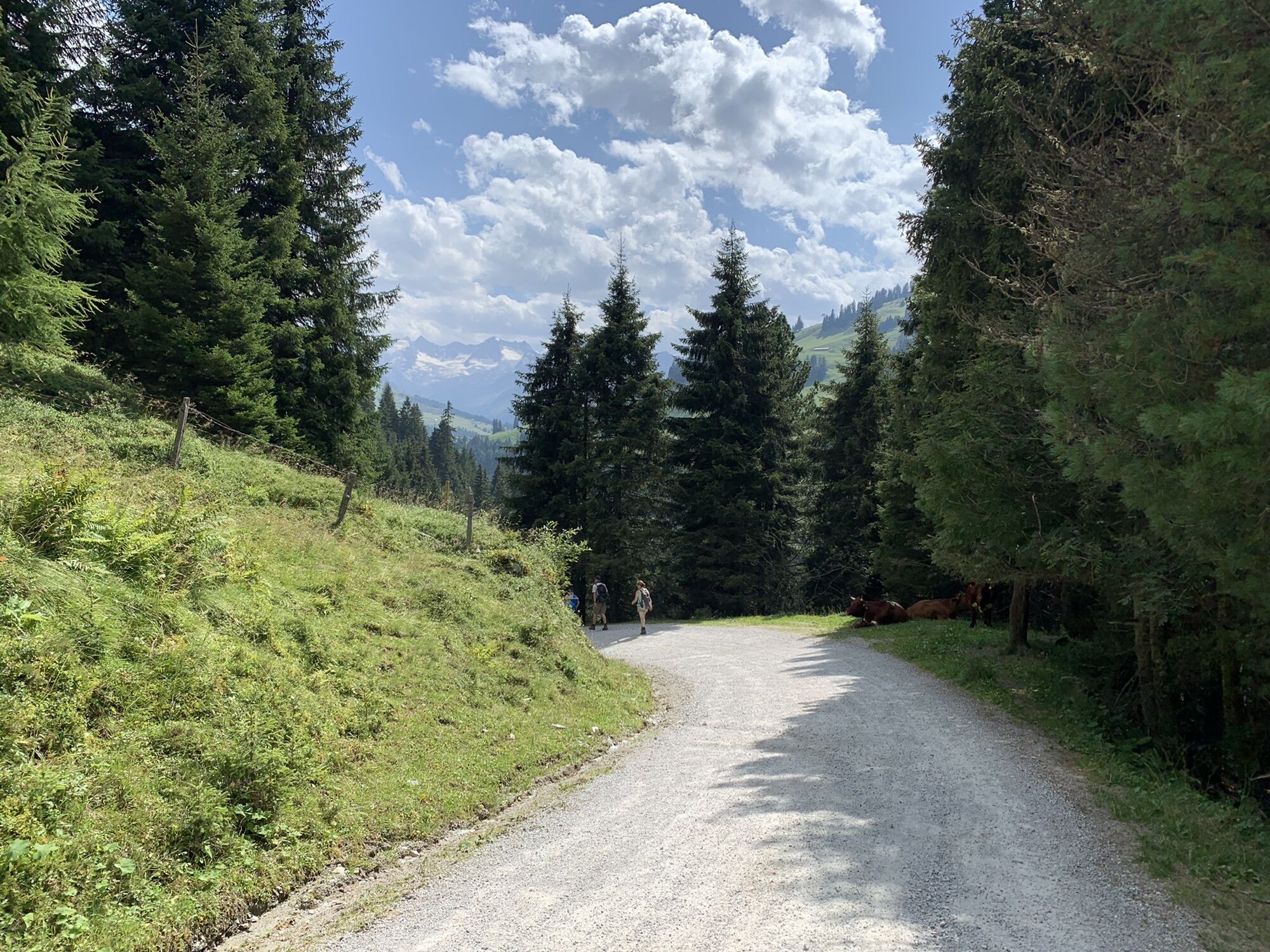

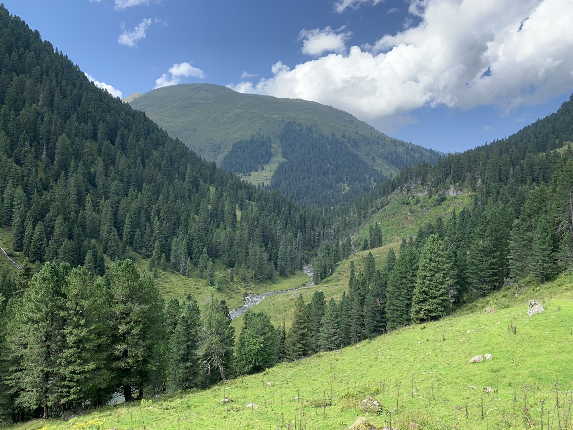
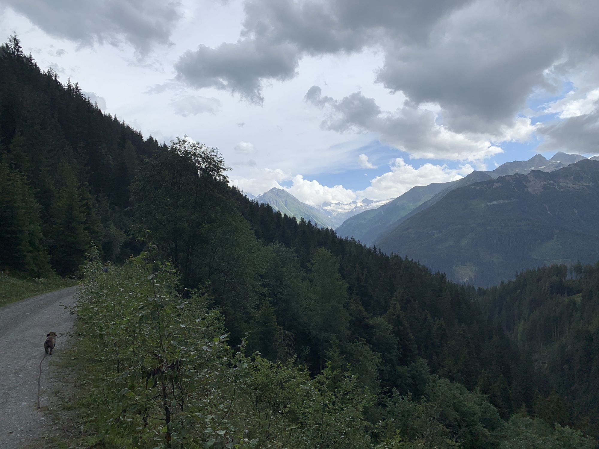
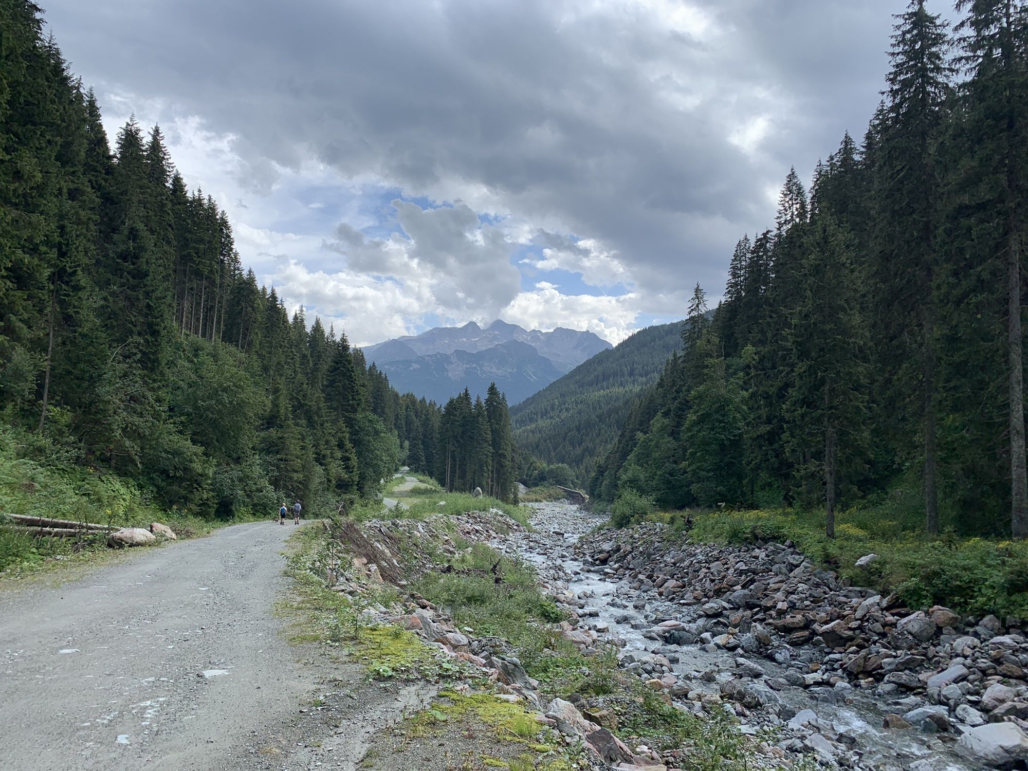
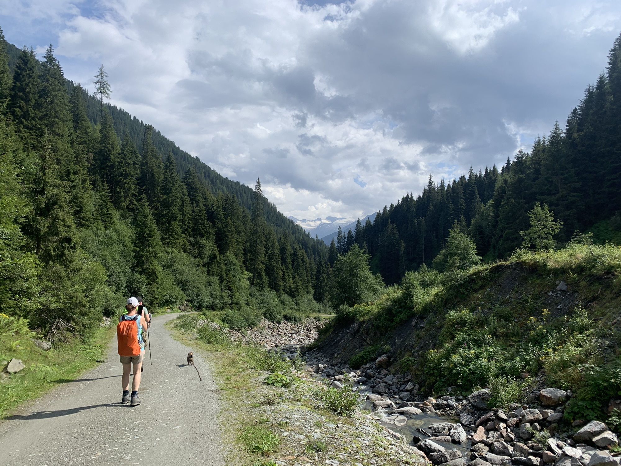
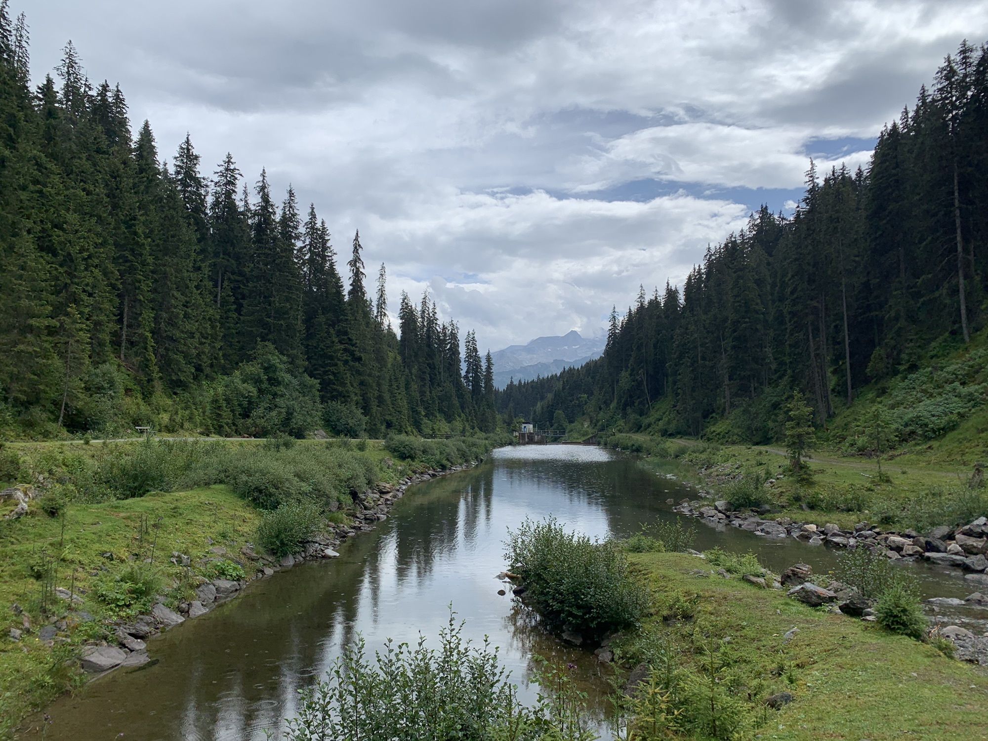
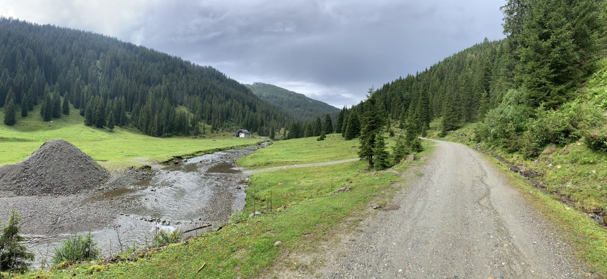
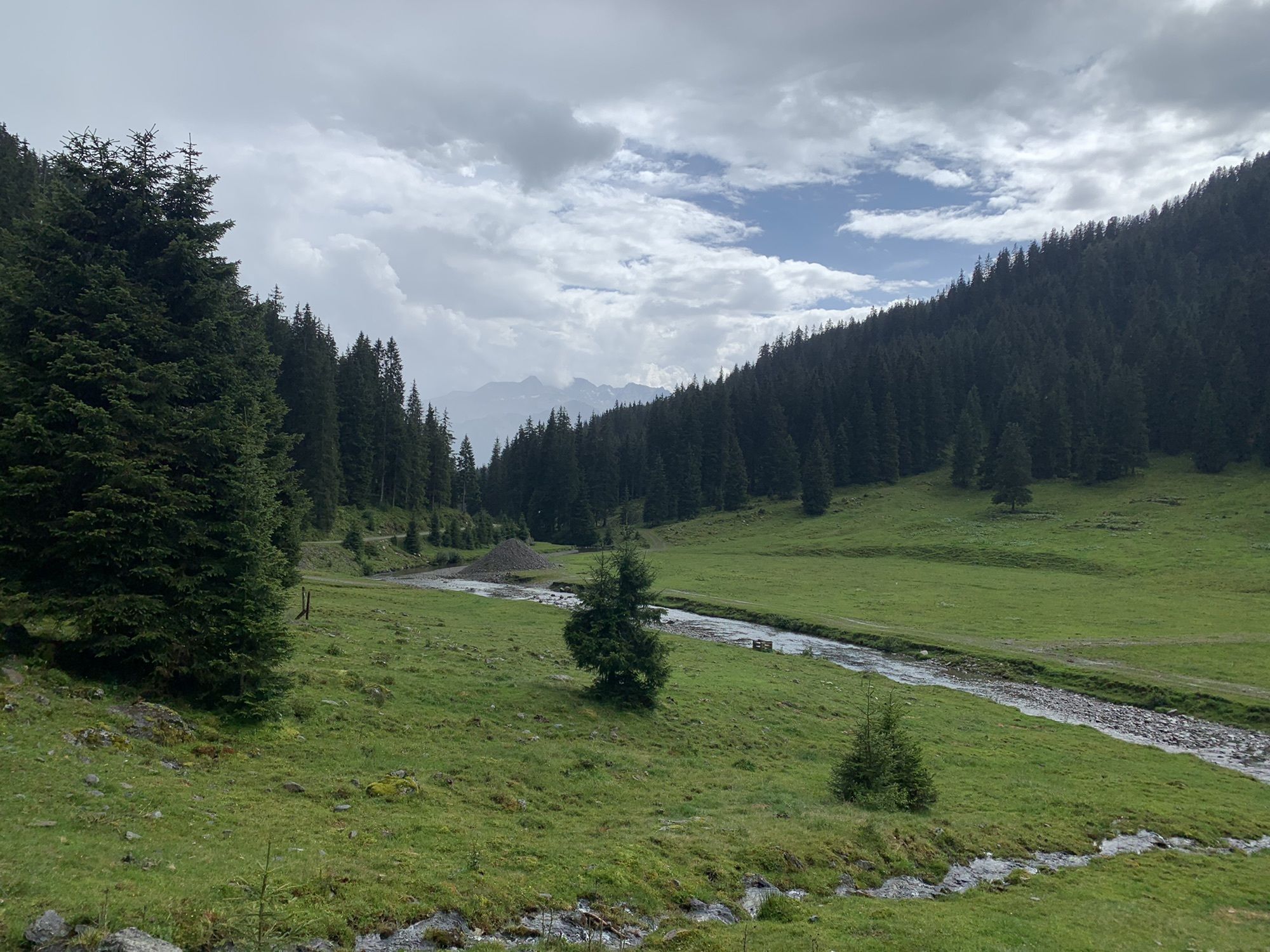
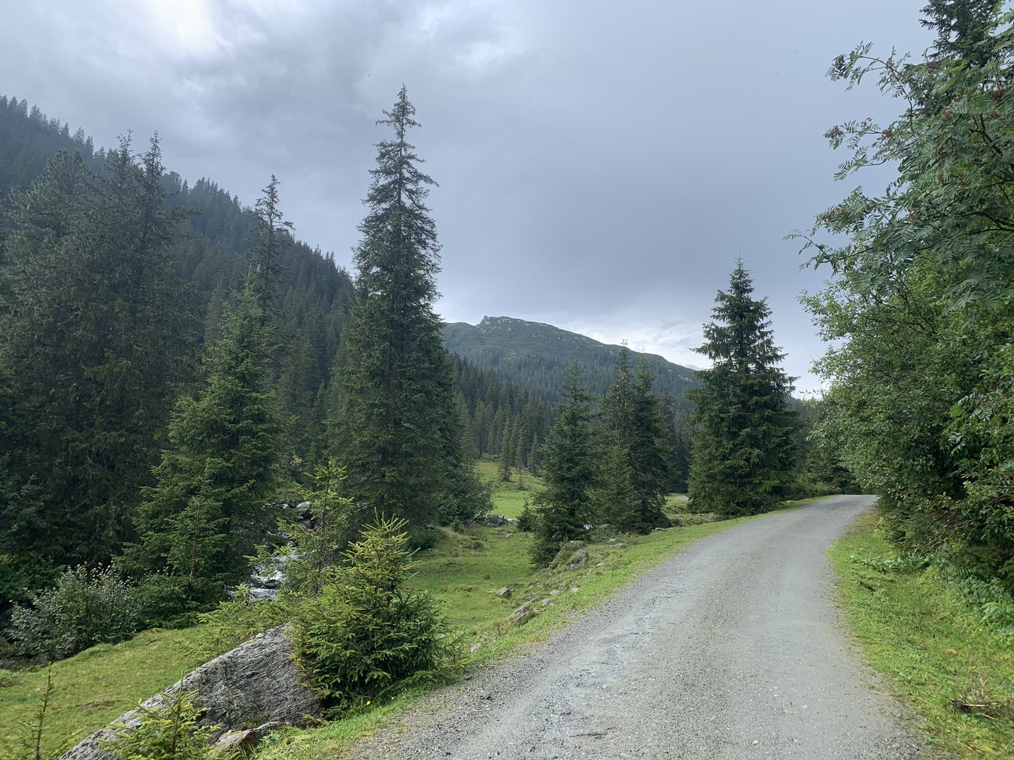
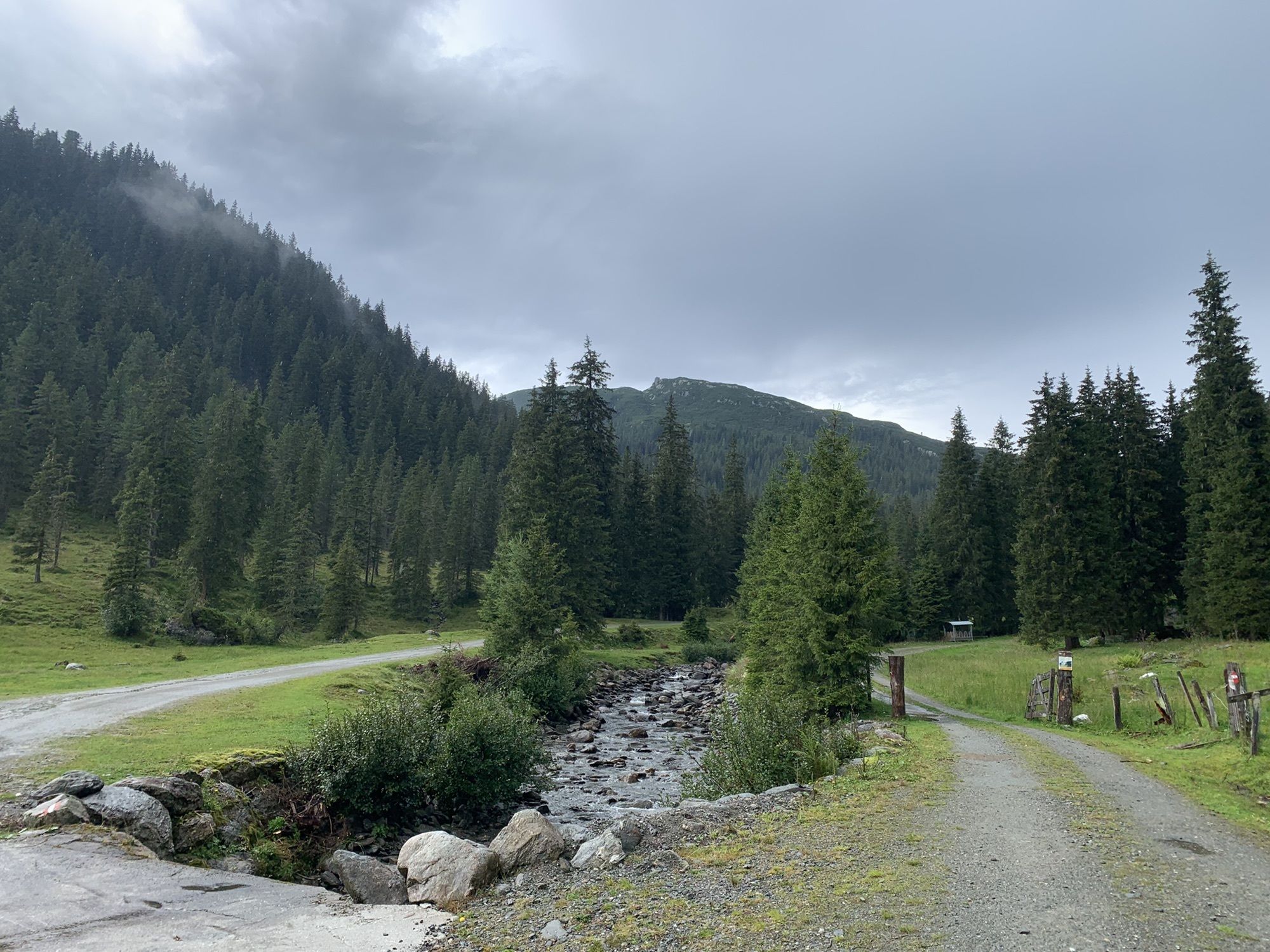
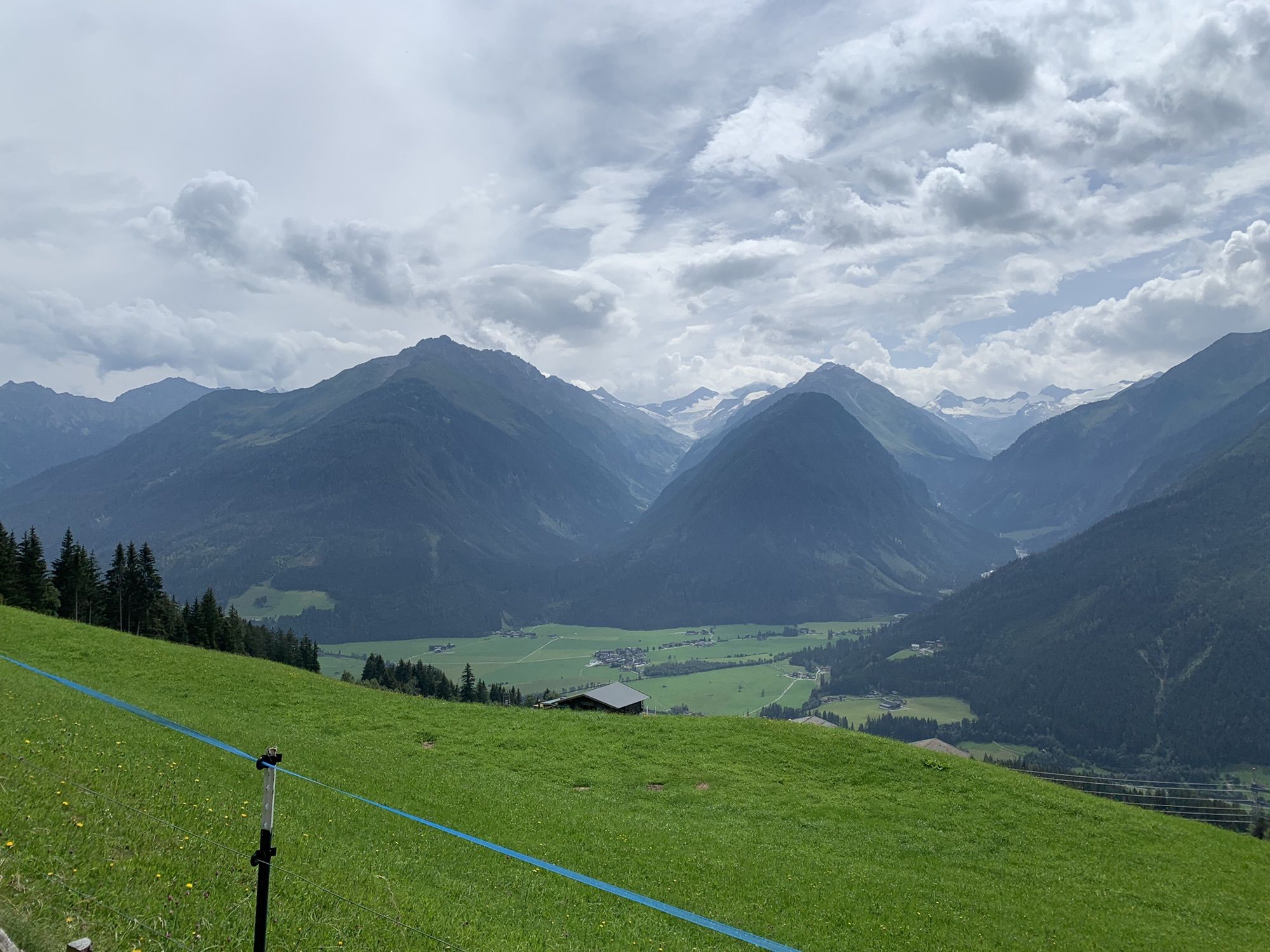
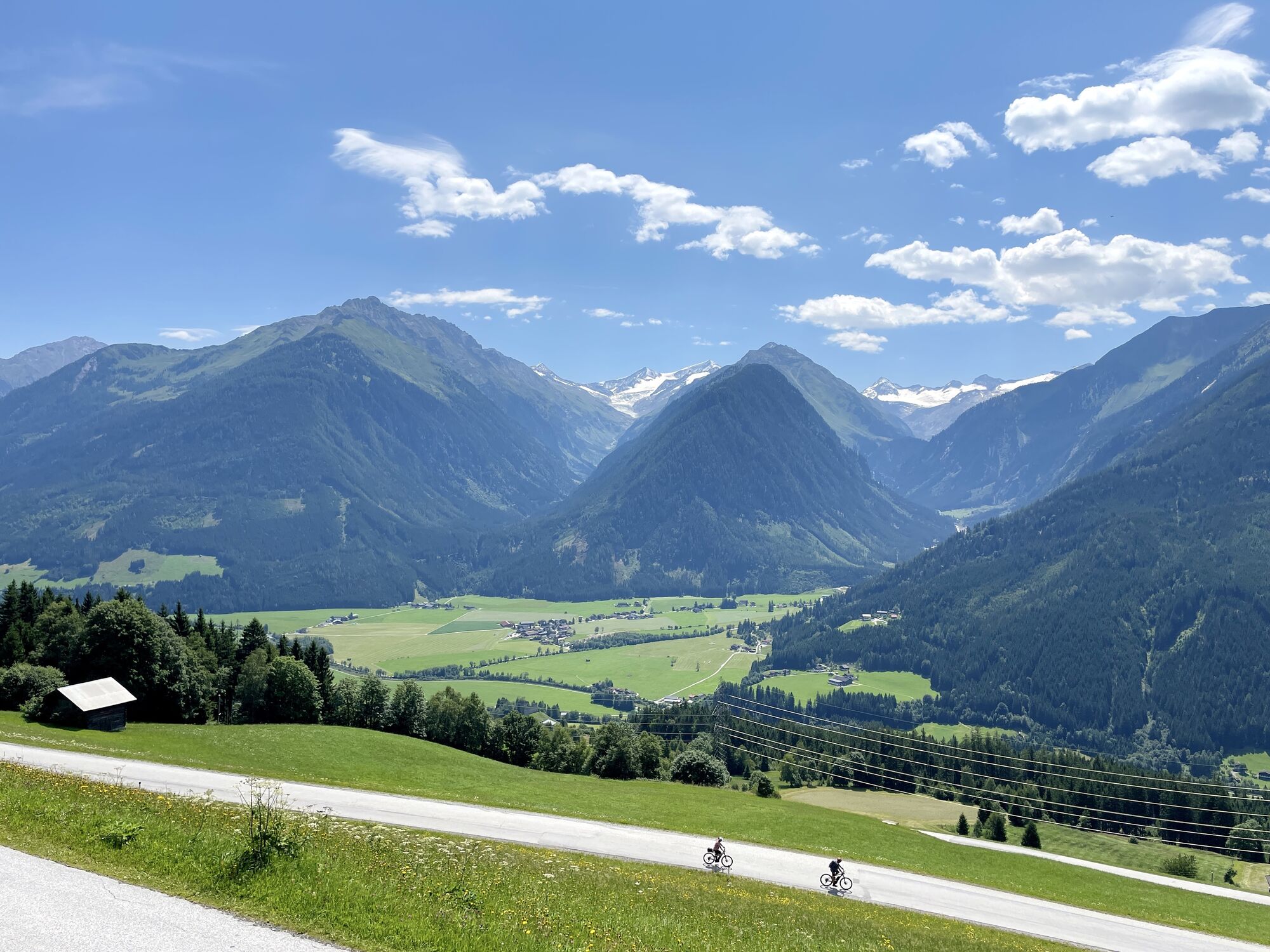
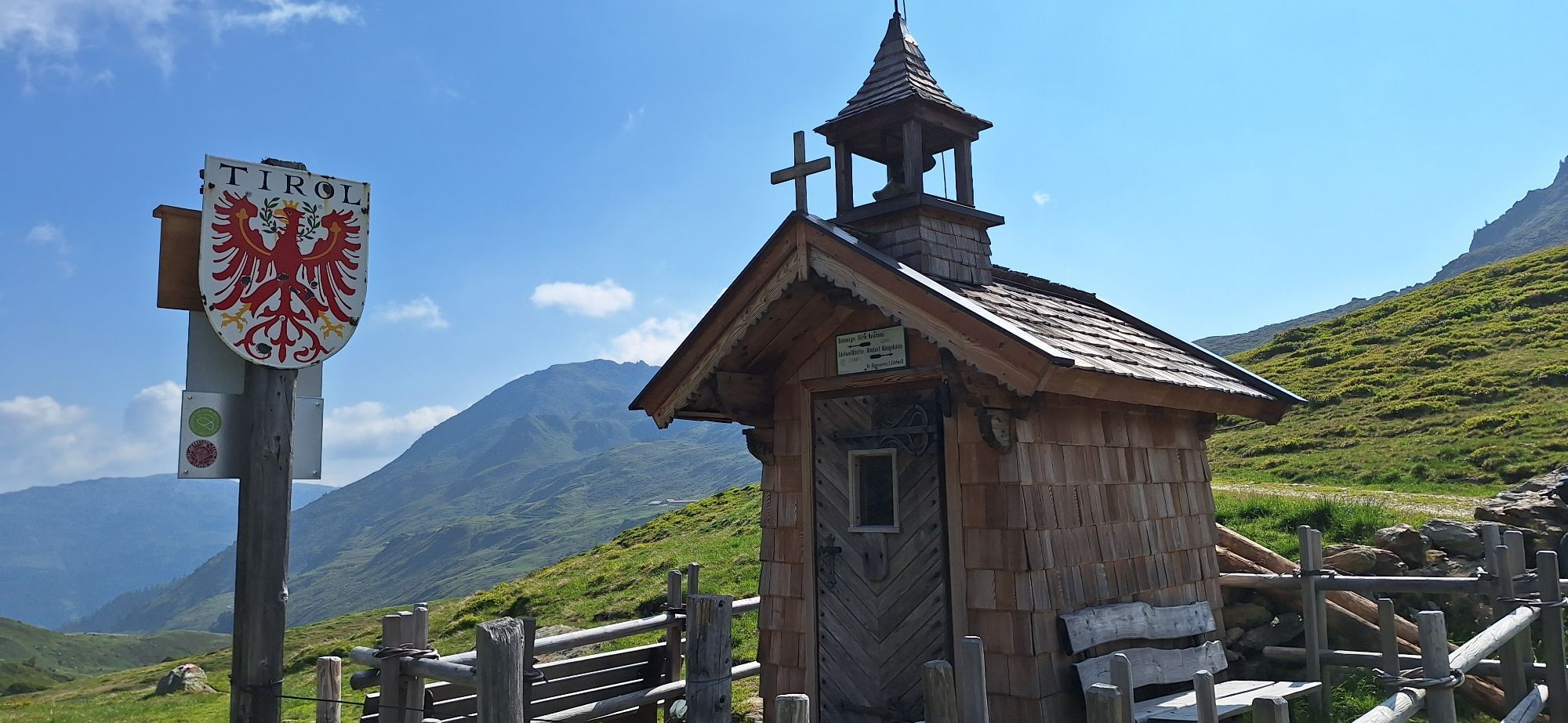
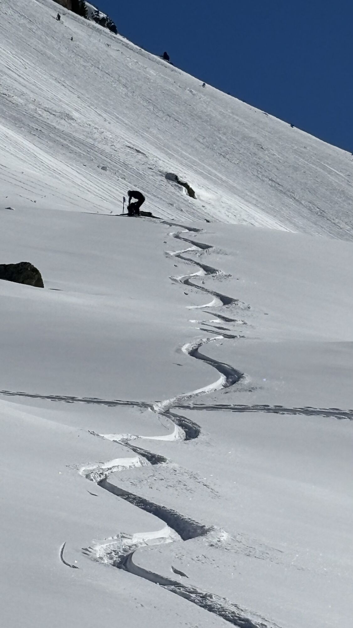
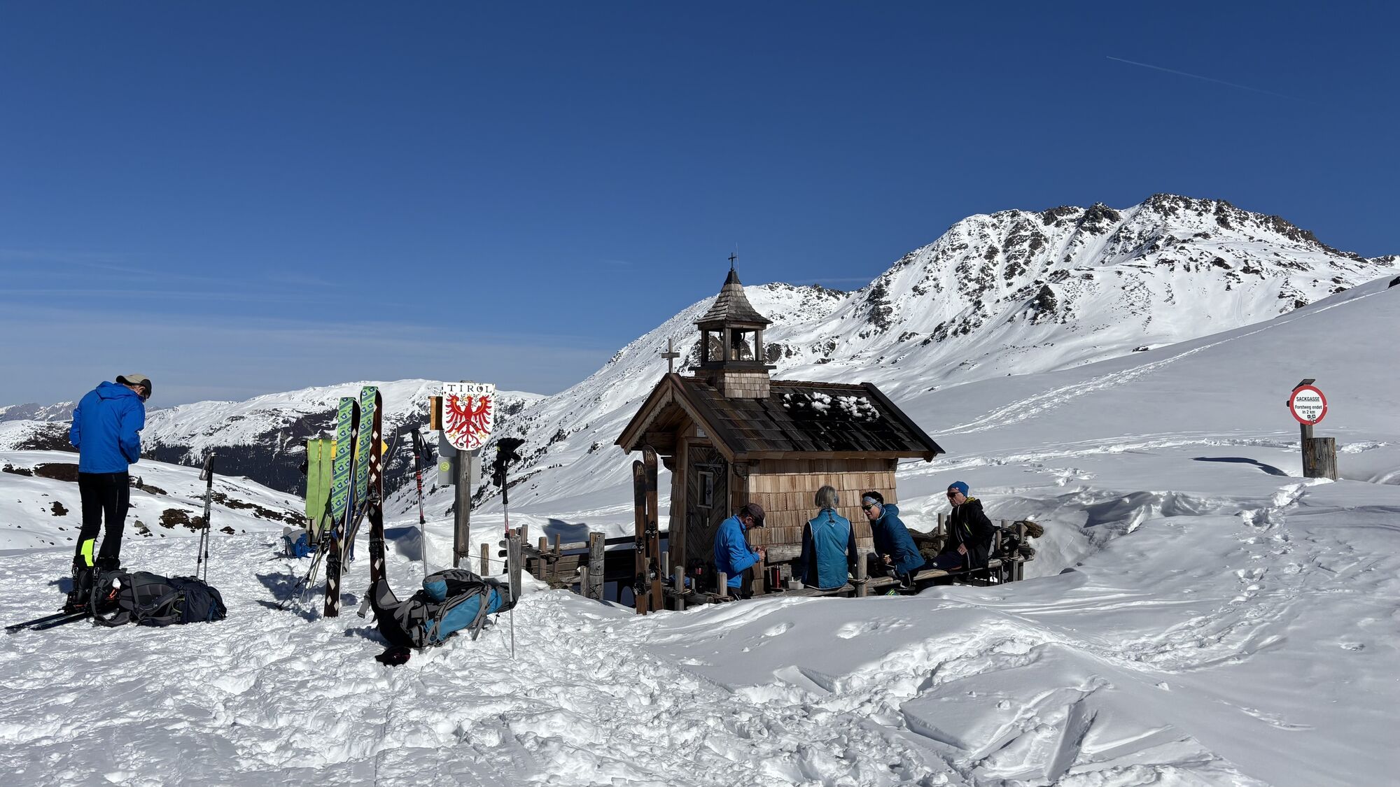
On the third day, nearly 20 kilometers must be covered again, and today the path leads up to 2,444 meters above sea level. The highest point of the hike is the rocky double summit of the Kröndlhorn, which...
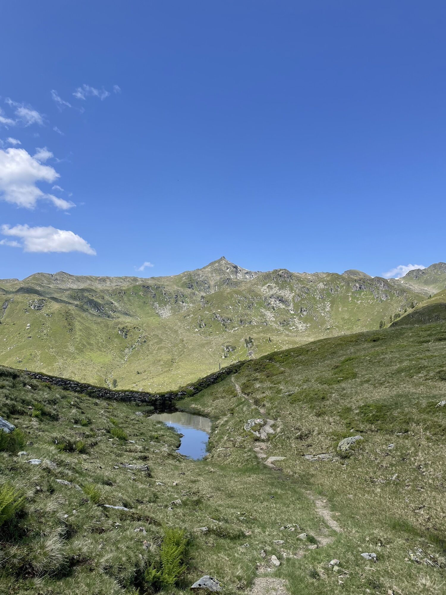
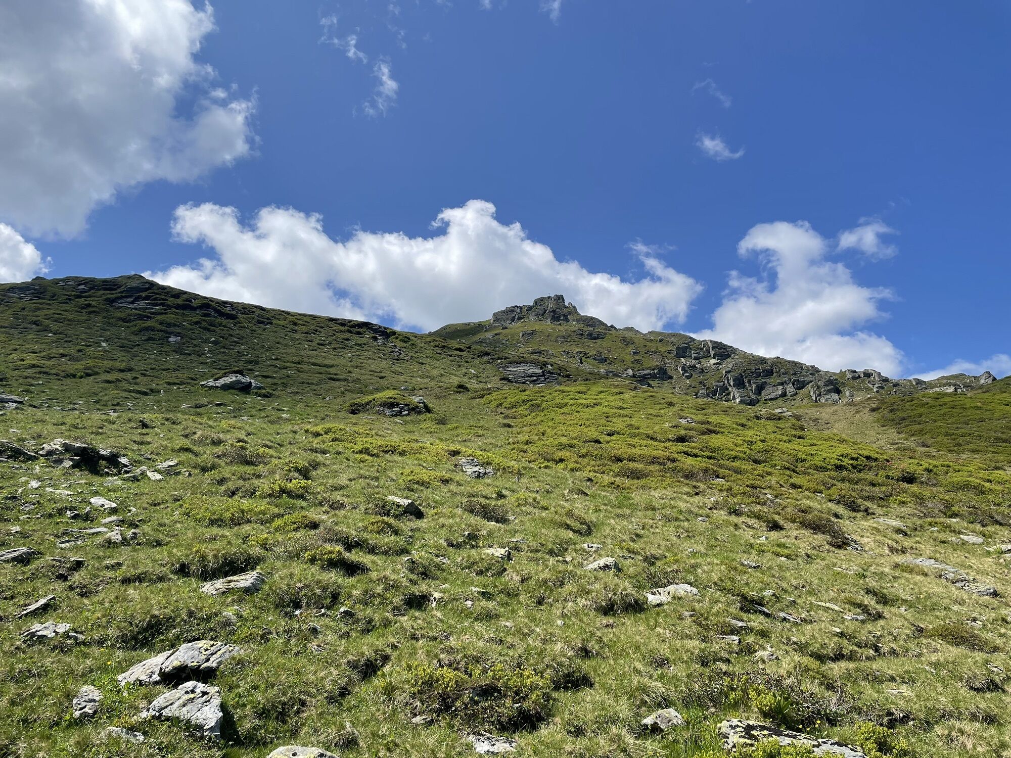
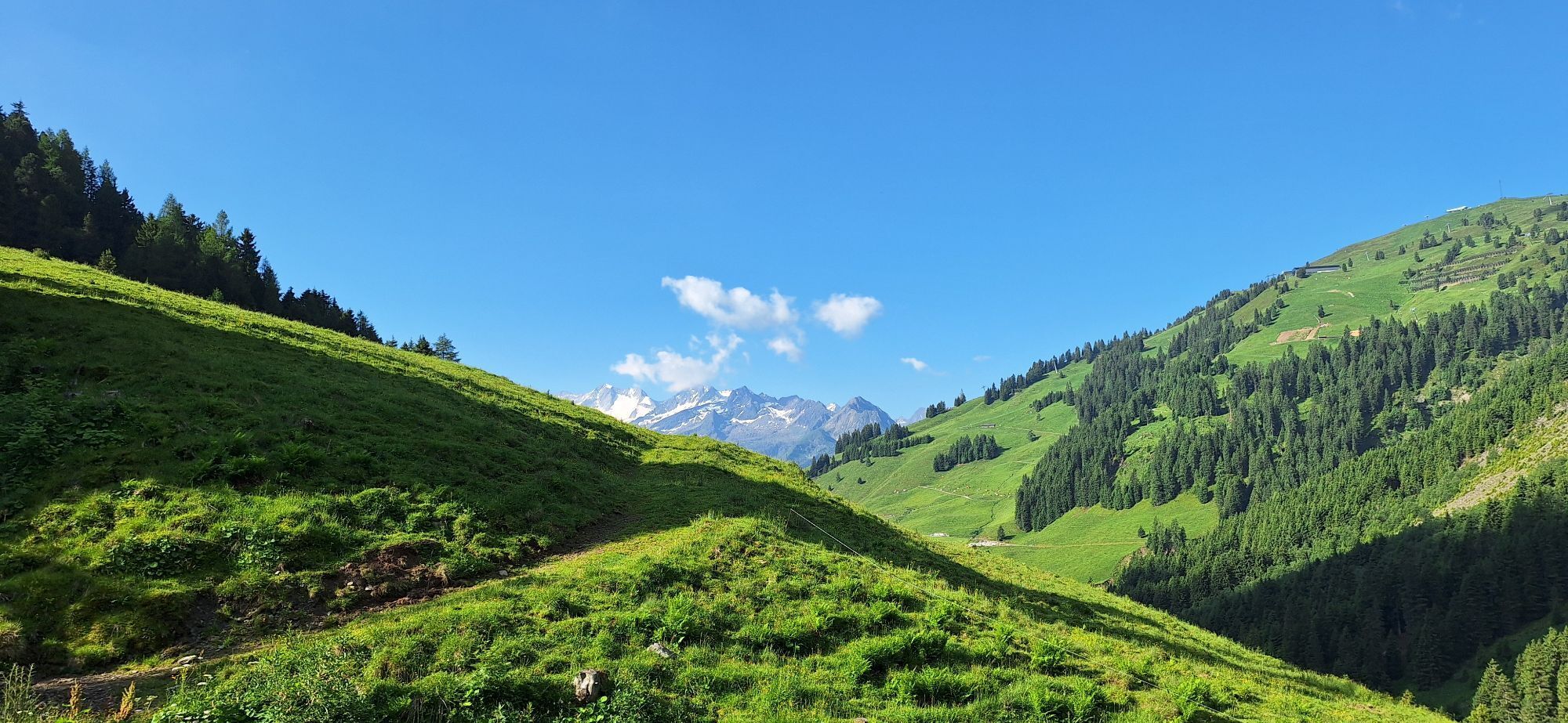
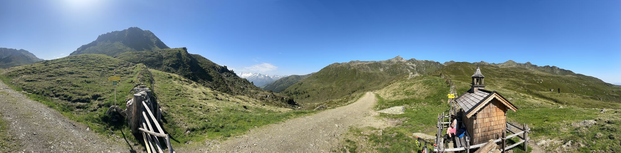
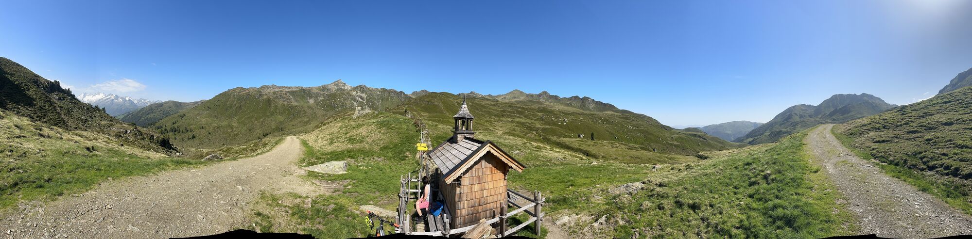
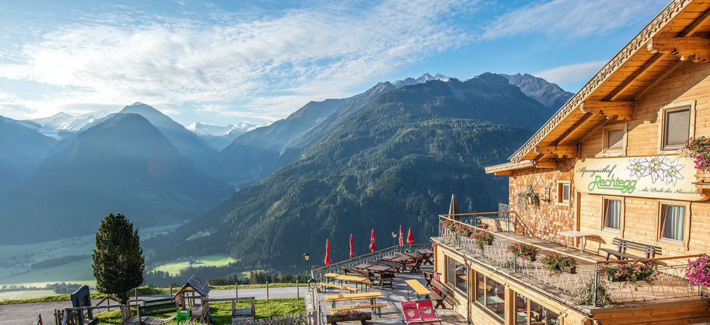
On the third day, nearly 20 kilometers must be covered again, and today the path leads up to 2,444 meters above sea level. The highest point of the hike is the rocky double summit of the Kröndlhorn, which stands out from the otherwise gentle grassy mountains of the Kitzbühel Alps. At its highest point is a small memorial chapel instead of a summit cross, and hikers enjoy a magnificent view of over 70 three-thousand-meter peaks. The stage destination is the Alpengasthof Rechtegg, located at 1,278 meters above the National Park village Neukirchen am Großvenediger.
If weather conditions or personal constitution do not allow the ascent of the Kröndlhorn, the alternative route ET03 Sonnenweg | Königsleiten-GH Rechtegg is recommended.

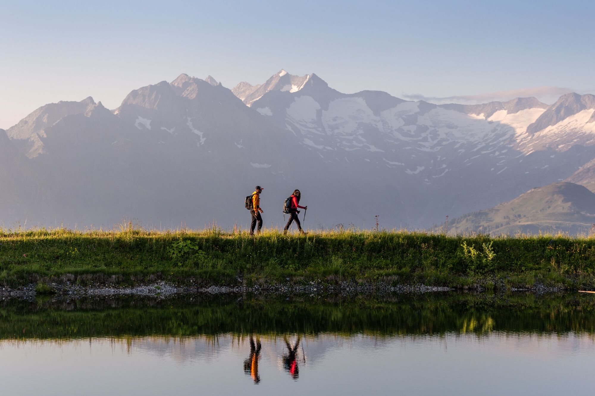
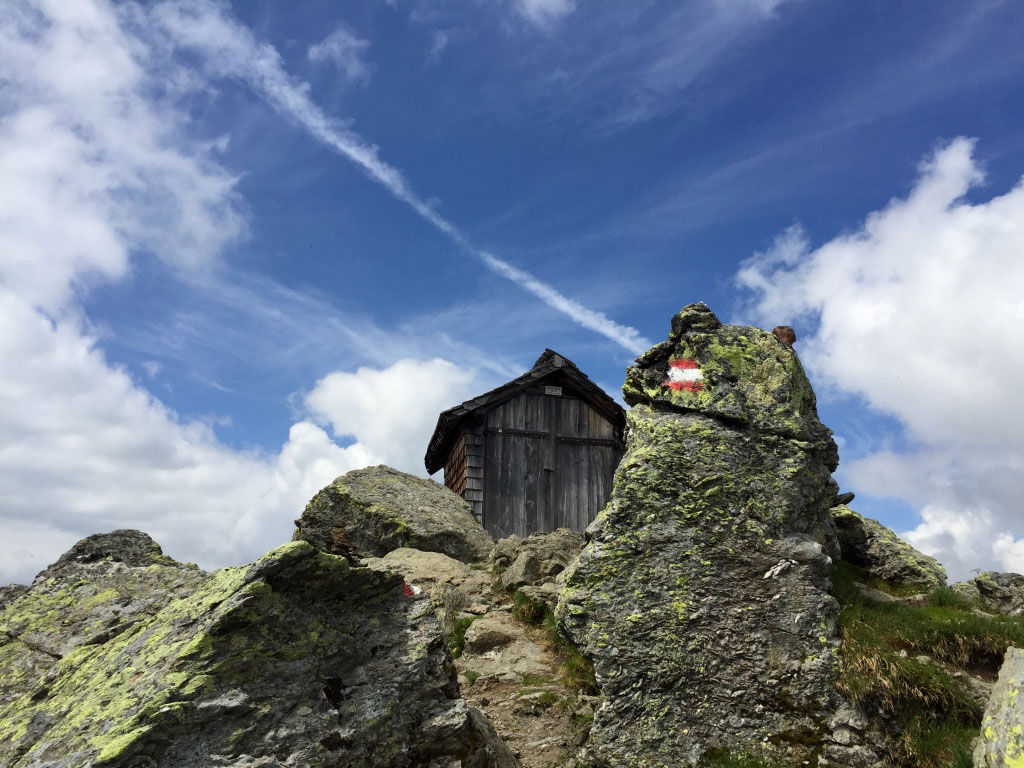
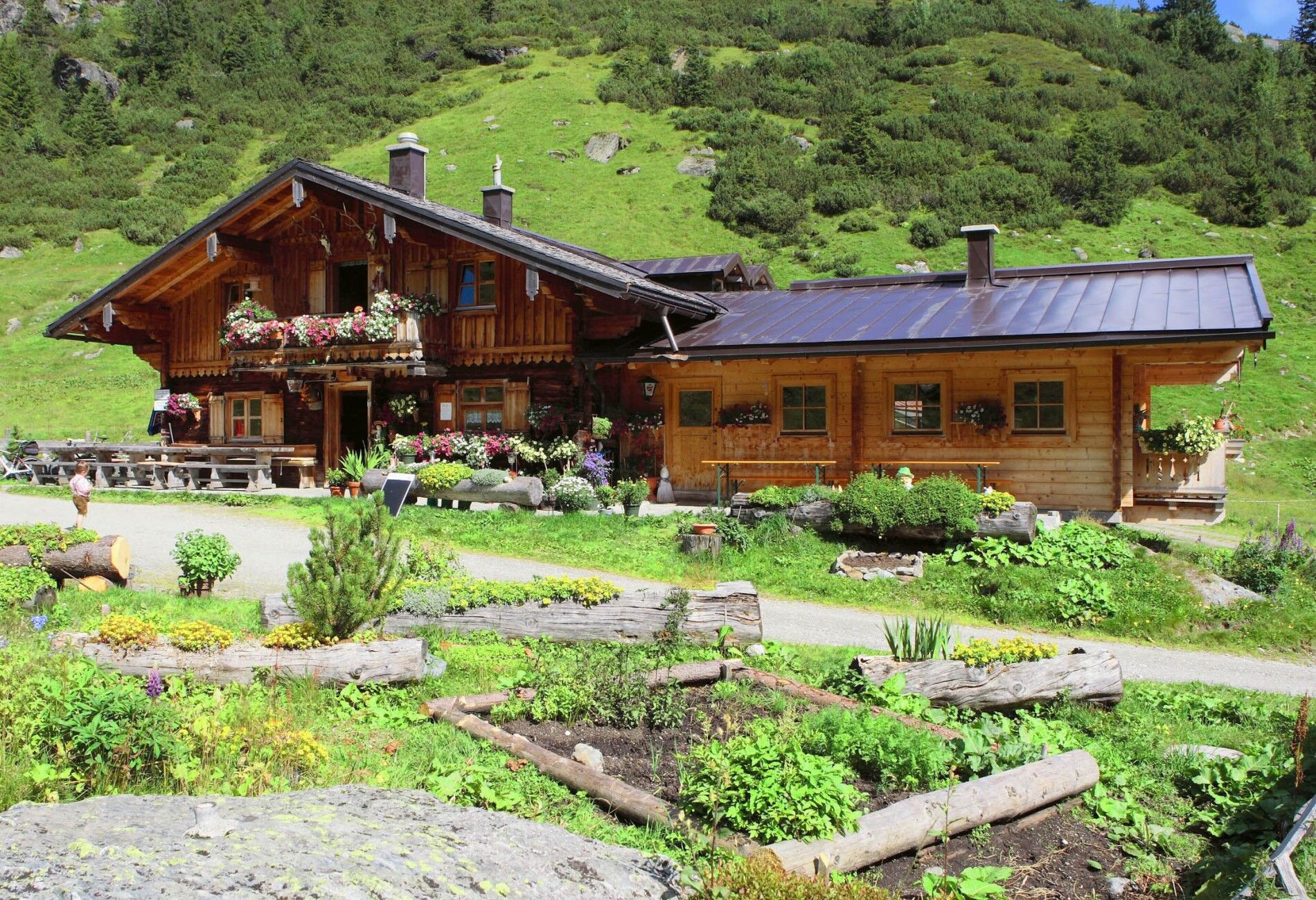

The starting point of this stage is located at the Spar supermarket or at the church in Königsleiten. Hike up the village street westward and then in a right loop to the valley station of the mountain lifts. Past this and the adjoining garages for snow groomers, the hiking trail towards Salzachhütte begins behind. Follow the driveway downhill and at a fork choose the right of the two driveways. Behind a barn building, a hiking trail immediately branches off to the right downwards. Follow this down to the Salzach – which springs at the very end of the valley below the Salzachgeier – and on the other side hike up again to a driveway. Follow this downhill again past the Salzachhütte (rest stop) to a fork. Here, a hiking trail branches right between the two driveways, which you follow uphill and soon downhill again to the Salzachalm. Here starts a driveway that takes you to the Salzachjoch (1,983 m) with its small marked chapel. Just before, ignore a left turn towards Salzachgeier.
Now ignore the driveway going downhill on the other side and turn right towards Nadernachjoch/Tristkopf, first hiking the trail a few meters uphill and then crossing left to the Nadernachjoch (2,100 m). Now follow the signs left towards Kröndlhorn, initially along the fence and later up the increasingly steep summit slope via the path to the small notch that separates the double peaks of the Kröndlhorn (2,444 m).
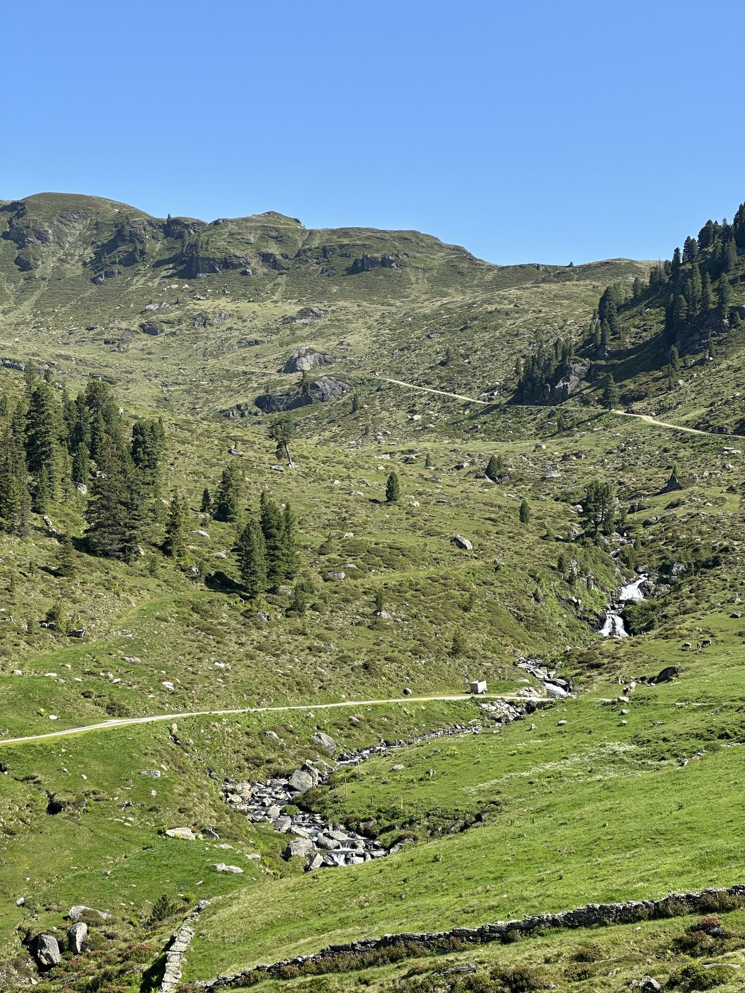
Climb a few more meters uphill right until a trail leads down on the left, just below the summit of the Kröndlhorn with its small chapel, towards Trattenbachtal. This trail is initially quite steep and later runs more gently down to the Trattenbach-Hochalm. Here starts a driveway that takes you downhill to the Trattenbachalm (1,732 m).
Just behind the Trattenbachalm, a beautiful forest and meadow path (footpath) branches right, which serves as a shortcut to the driveway further downhill into the valley. At the height of the opposite Sonntag-Grundalm, you reach the road again, can shortcut the next hairpin bend once more via a hiking trail, and now follow the road always downhill to the Alpengasthof Rechtegg, your stage destination.
If conditions are not suitable for this king stage, we recommend the shorter alternative route ET03 Sonnenweg | Königsleiten-GH Rechtegg/Neukirchen, which leads along the sunny side past the old mountain farms to the Alpengasthof Rechtegg.
Tak
An alpine hiking outfit is needed for the Hohe Tauern Panorama Trail:
Day hiking backpack (approx. 20 liters) with rain cover Sturdy and comfortable footwear Weather-appropriate and durable clothing in layers. The Hohe Tauern Panorama Trail is usually at altitudes between 1,300 m and 2,450 m - this must be considered when choosing hiking gear (especially clothing). Trekking poles are recommended due to often long descents Sun and rain protection Pay attention to enough provisions and sufficiently large water bottles since not all stages have rest stops and fountains (e.g. on stage 5 and 7) First aid kit Pocket knife Mobile phone Route description or hiking mapAlthough the paths are "medium difficulty mountain paths," the summit approach requires solid sure-footedness, complete snow freedom, and sufficiently good weather. Additionally, it is one of the longest stages of the trail. If conditions are not suitable for this king stage, we recommend the shorter alternative route ET03 Sonnenweg | Königsleiten-GH Rechtegg/Neukirchen, which leads along the sunny side past old mountain farms to the Alpengasthof Rechtegg.
Via A12 from Munich to exit Kufstein South (St. Johann-Kitzbühel-Pass Thurn) and further on B165 to Wald/Königsleiten or exit Zillertal, further via B169 to Zell am Ziller and B165 Hainzenberg and Gerlospass to Wald/Königsleiten. From the east: A10 Tauern motorway to Werfen, B 311 to Schwarzach, Zell am See, then on B168 to Mittersill and further via B165
Motorway A12 towards Salzburg - exit Zillertal via B169 to Zell am Ziller and B165 Hainzenberg and Gerlospass to Wald/Königsleiten
Coming from Zell am See, start at Zell am See station with regional bus 670 (direction Krimml via Uttendorf - Mittersill – Neukirchen) to Krimml station. Change to regional bus 673 to Almdorf Königsleiten village entrance. The stage starting point is at the Spar market (Königsleiten 65, 5742 Königsleiten) at the church in Königsleiten.
Coming from Zillertal, start at Zell am Ziller station with regional bus 4094 to Almdorf Königsleiten village entrance. The stage starting point is at the Spar market (Königsleiten 65, 5742 Königsleiten) or near the church in Königsleiten.
Current timetables at https://fahrplan.salzburg-verkehr.at/
Free parking is available at the respective starting points of the trail journey, e.g., in Königsleiten at the Sonnwendkopfbahn valley station (entrance to the Wildgerlostal).
The parking spaces are free of charge and not monitored. No liability is assumed.
Nationalpark Hohe Tauern holiday region
Gerlosstraße 18 5730 Mittersill, Austria
Tel. +43 6562 40939, Email: hohetauerntrail@nationalpark.at
Booking center & Info hotline
Trail Angels GmbH
9821 Obervellach 15, Austria
Tel. +43 4782 93093, Email: info@bookyourtrail.com
Kamery internetowe z trasy
Königsleiten - Wald im Pinzgau
Filzsteinalm
Panoramarestaurant Filzsteinalm (Gerlosplatte)
Königsleiten - Märchenwald
Zillertal Arena - Gerlospass Tal
Kogel-Mogel Kinderland 2100m
Mitterleger Bergstation
Zillertal Arena - Alpengasthof Filzstein
Ganzer X-press Berg 2128m
Wildkogel Arena - Wildkogelbahn
Wildkogel Arena - Wildkogelbahn
Filzalmsee
Brantlalmsee
Panorama Königsleiten
Neukirchen-Bramberg
Königsleiten - Wald im Pinzgau
Königsleiten - Wald im Pinzgau
Königsleiten - Wald im Pinzgau
Königsleiten - Wald im Pinzgau
Königsleiten - Wald im Pinzgau
Königsleiten - Wald im Pinzgau
Königsleiten - Wald im Pinzgau
Fussalm
Fussalm
Fussalm
Fussalm
Fussalm
Fussalm
Panorama Königsleiten
Panorama Königsleiten
Panorama Königsleiten
Panorama Königsleiten
Uzyskaj wgląd Zawsze na żywo z ponad 9 500 kamer internetowych. bergfex Jako użytkownik Pro, możesz teraz zobaczyć odpowiednie kamery internetowe dla wielu wycieczek w aplikacji wycieczki od. Pozwala to na bezpośredni podgląd aktualnych warunków. Popularne wycieczki w okolicy
- 4,3
Gerlos: Stausee Rundwanderung
średniWędrówka 12,5 km - 4,7
Zittauer Hut
średniWędrówka 6,85 km - 3,7
Smaragdwanderweg Habachtal/Bramberg
światłoWędrówka 7,17 km - 4,3
Krimmler Tauernhaus
średniWędrówka 10,4 km - 4,3
Krimml Waterfall Path - Panorama Viewing Path
średniWędrówka 4,74 km - 4,5
Route 208: Windautal - Rotwandalm/Filzenscharte
ciężkiMountainbike 22,8 km - 4,7
Krimmlerwasserfälle
średniWędrówka 10,5 km - 4,5
Kröndlhorn (2.444m)
ciężkiWędrówka 13,5 km - 4,8
Krimmler Achental
średniE-Bike 18,4 km - 4,7
Frühmesser
średniWędrówka 10,6 km
Wędrówki i tropienie


Nie przegap ofert i inspiracji na następne wakacje
Twój adres e-mail została dodana do listy mailingowej.





