







Pleißlingkeil Circular Route | Trailrunning Route 06
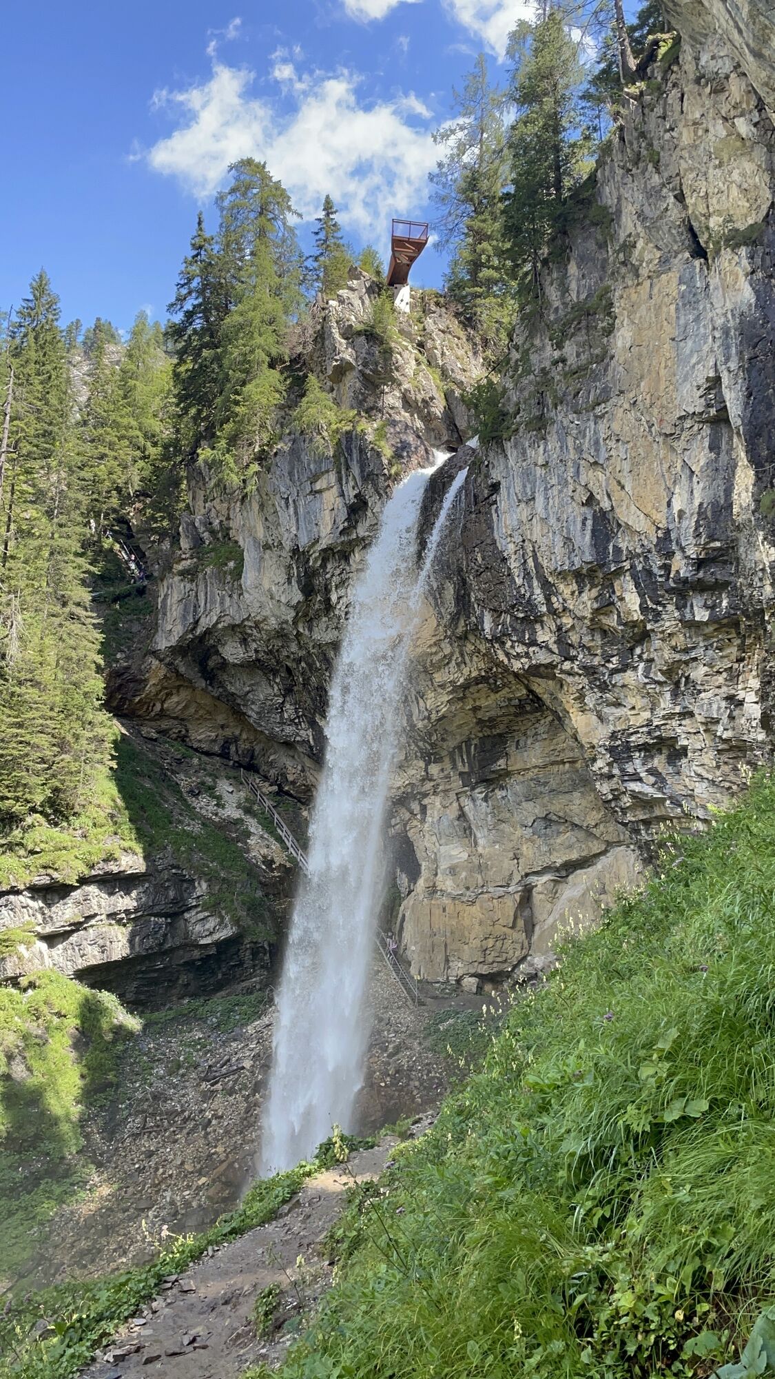
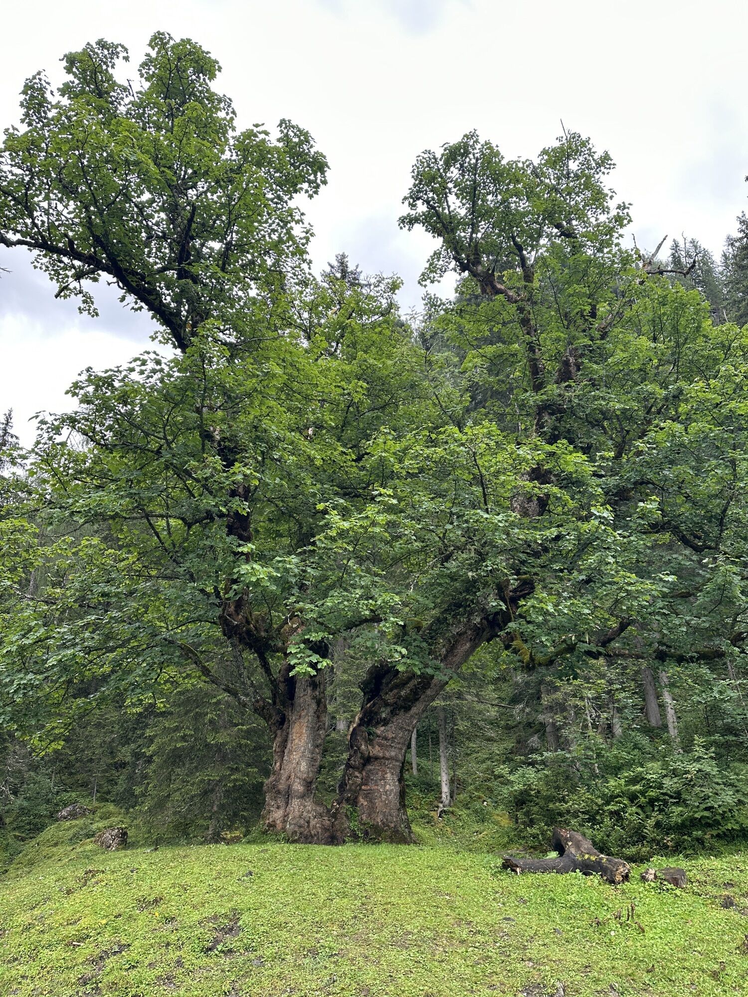
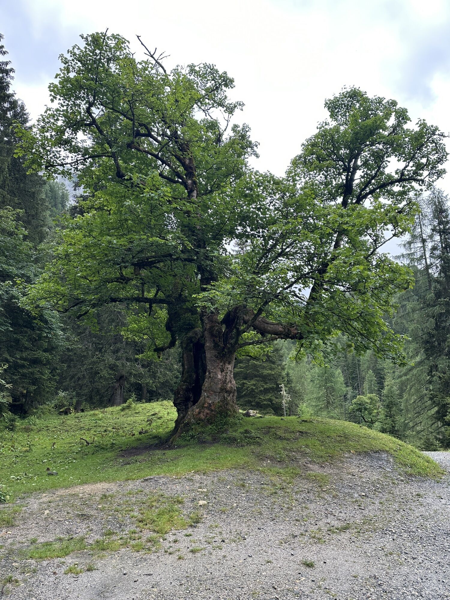
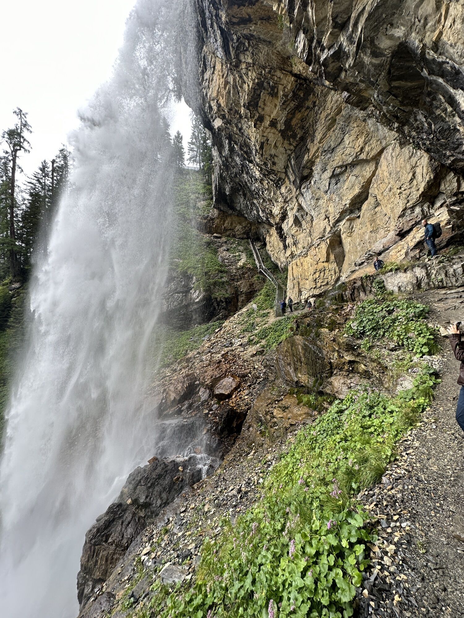
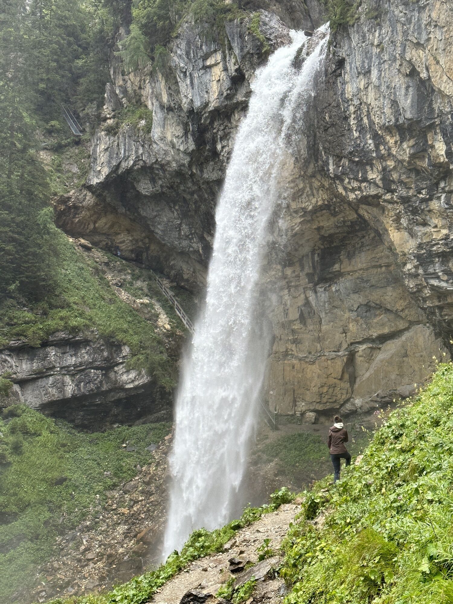
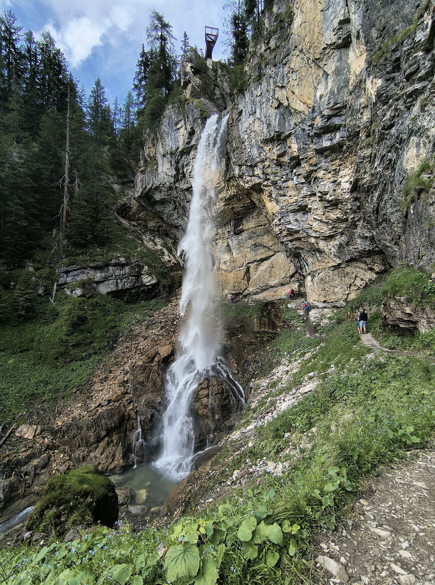
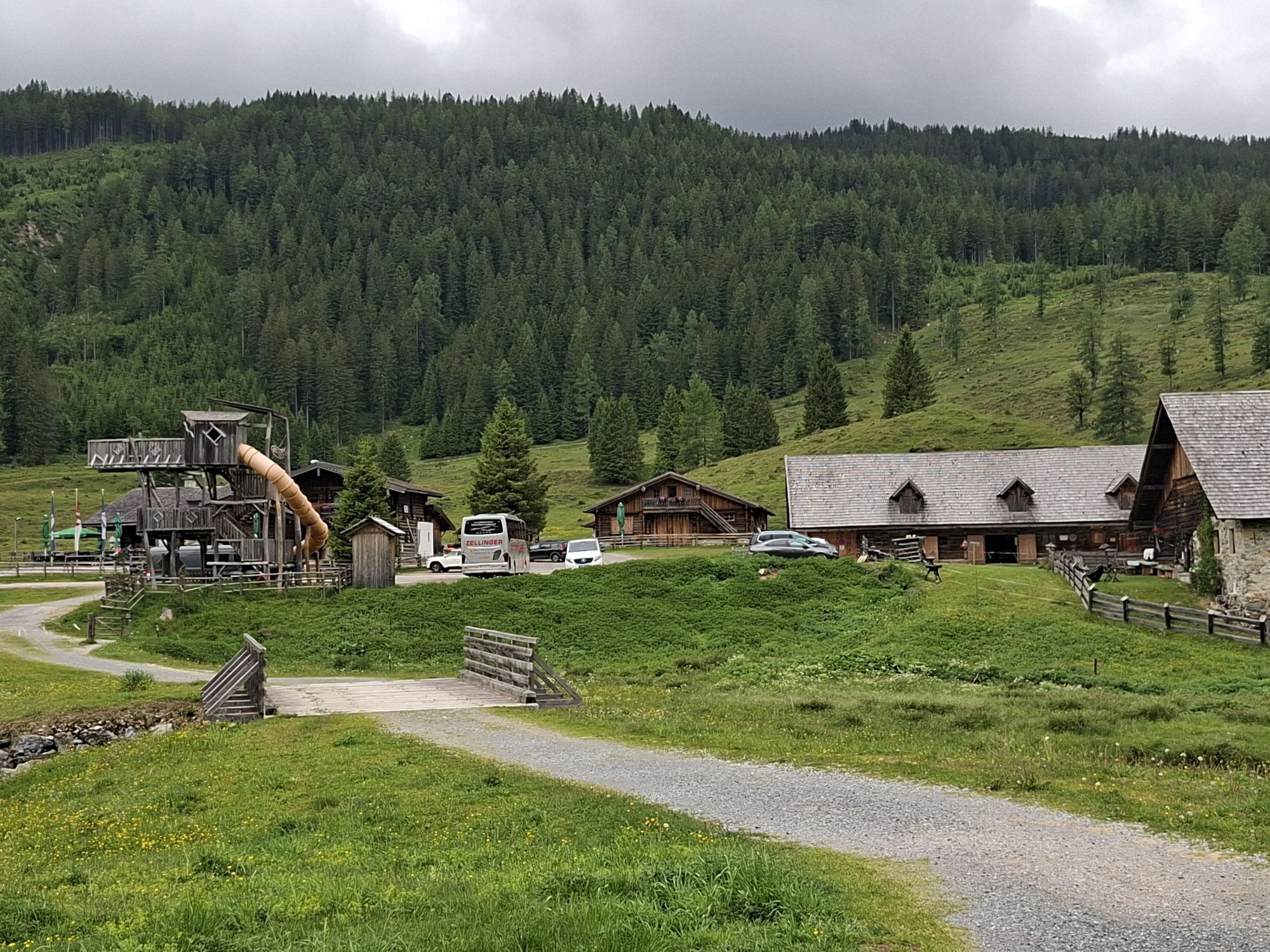
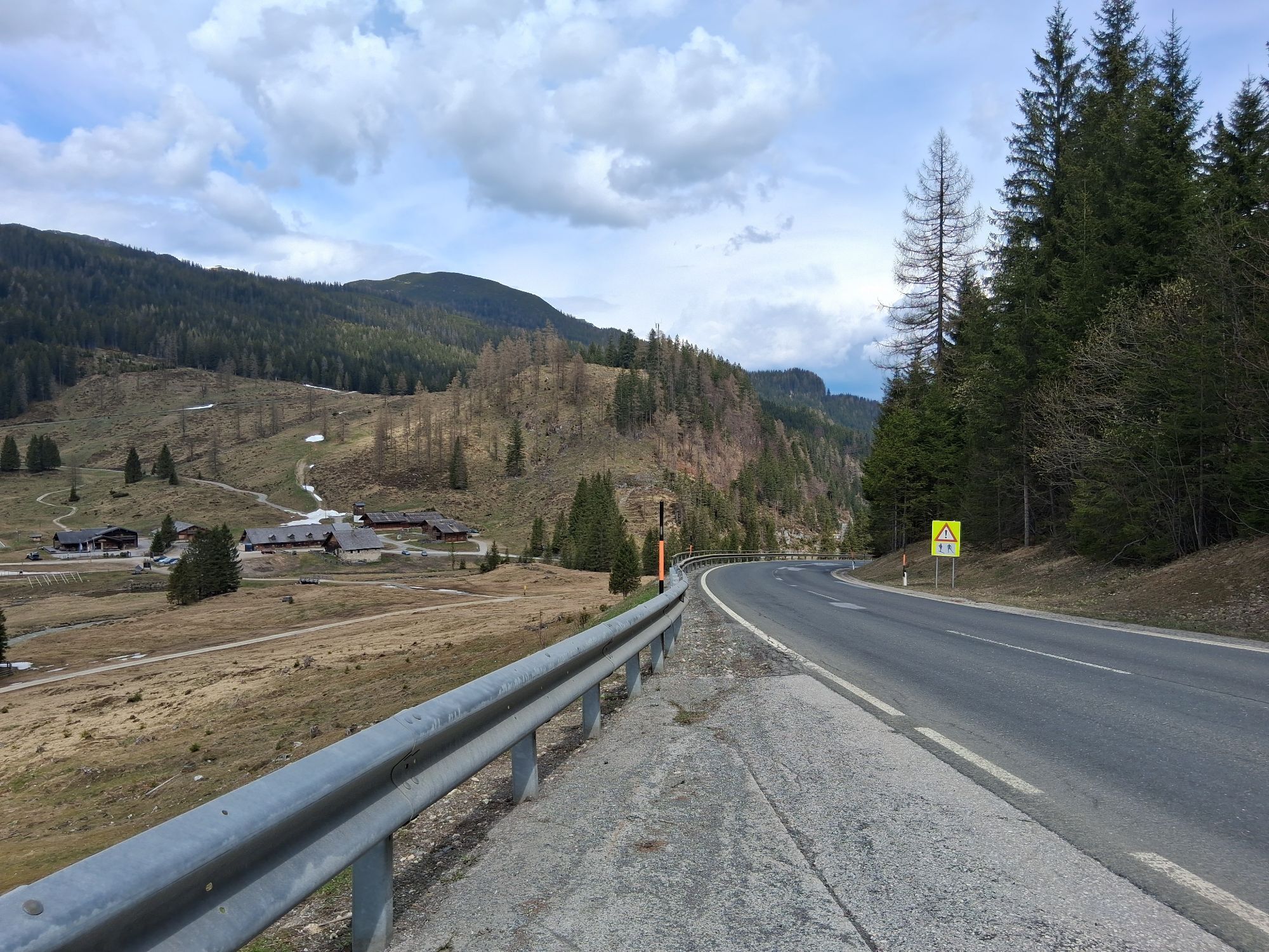
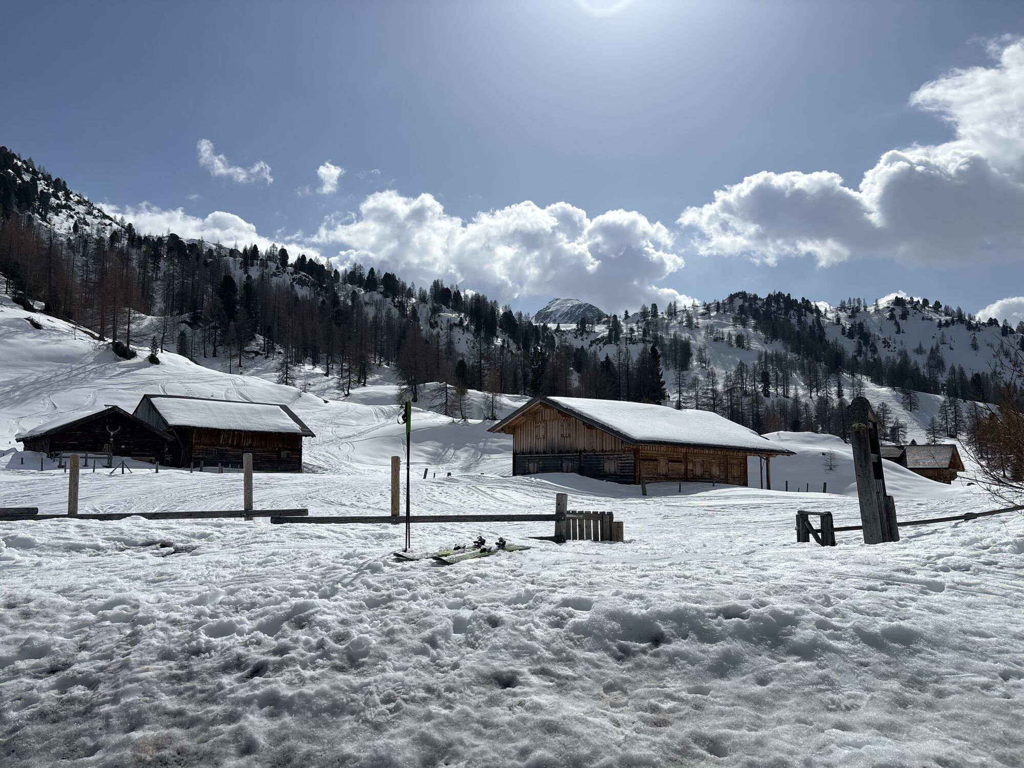
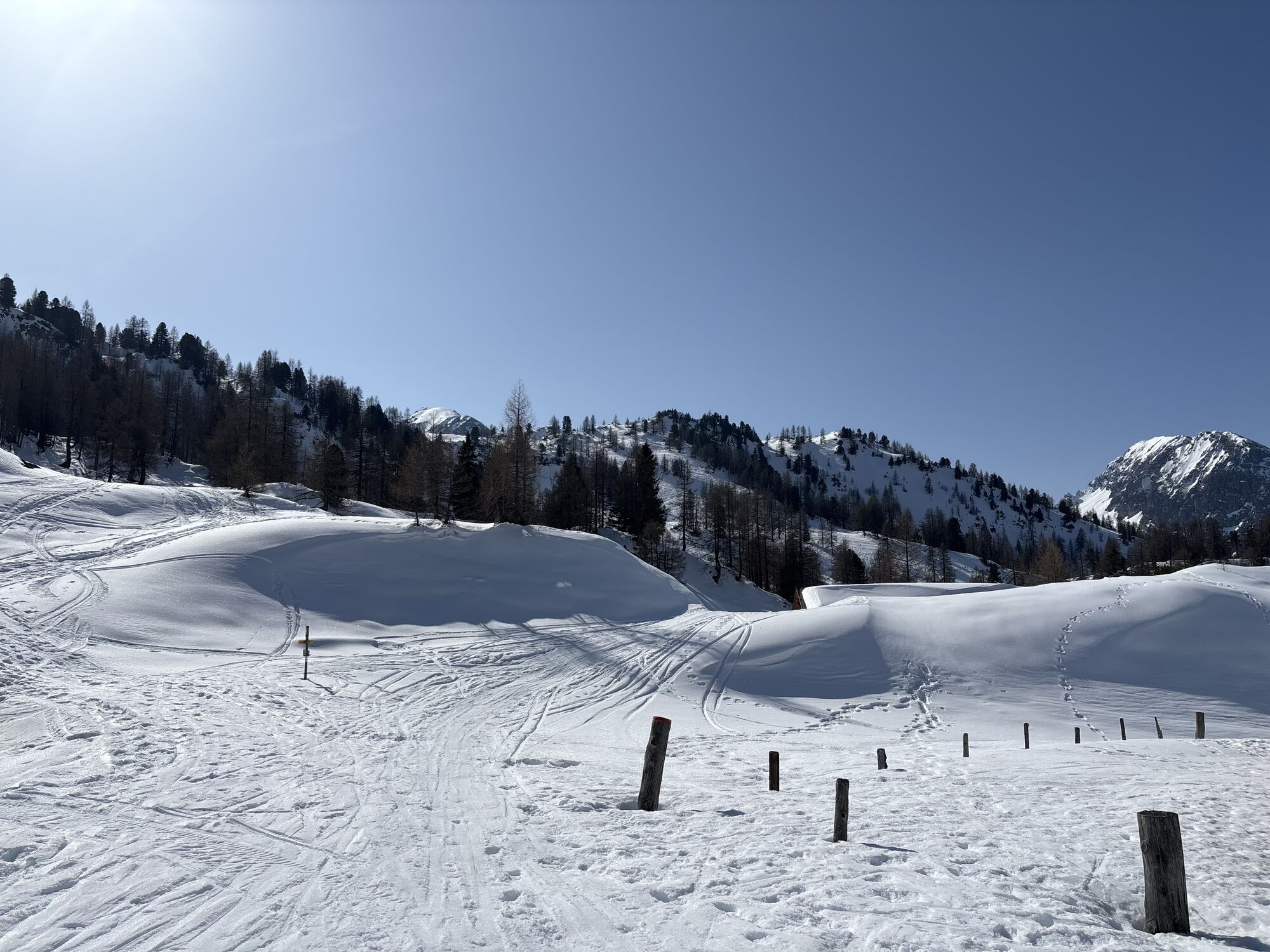
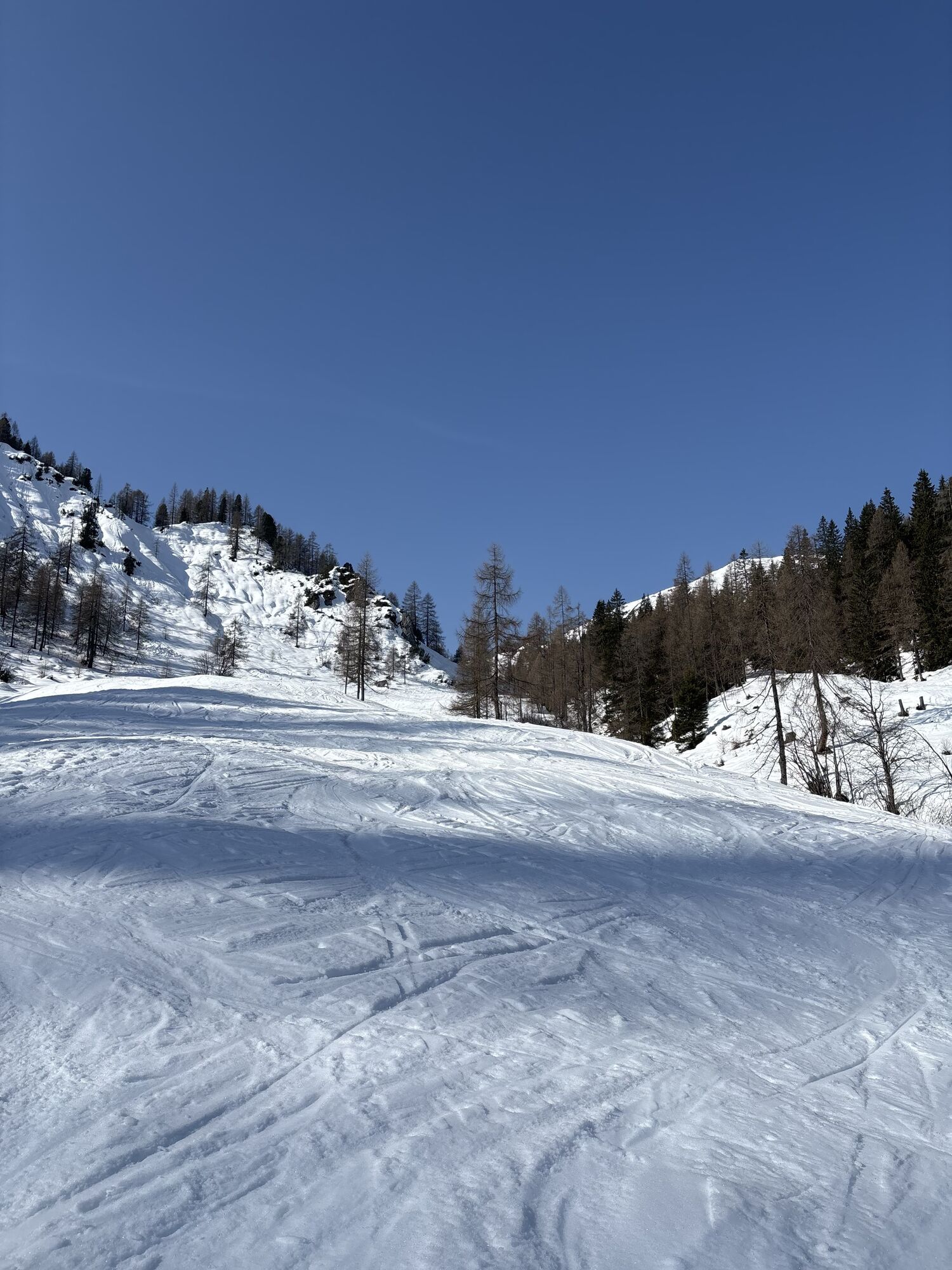
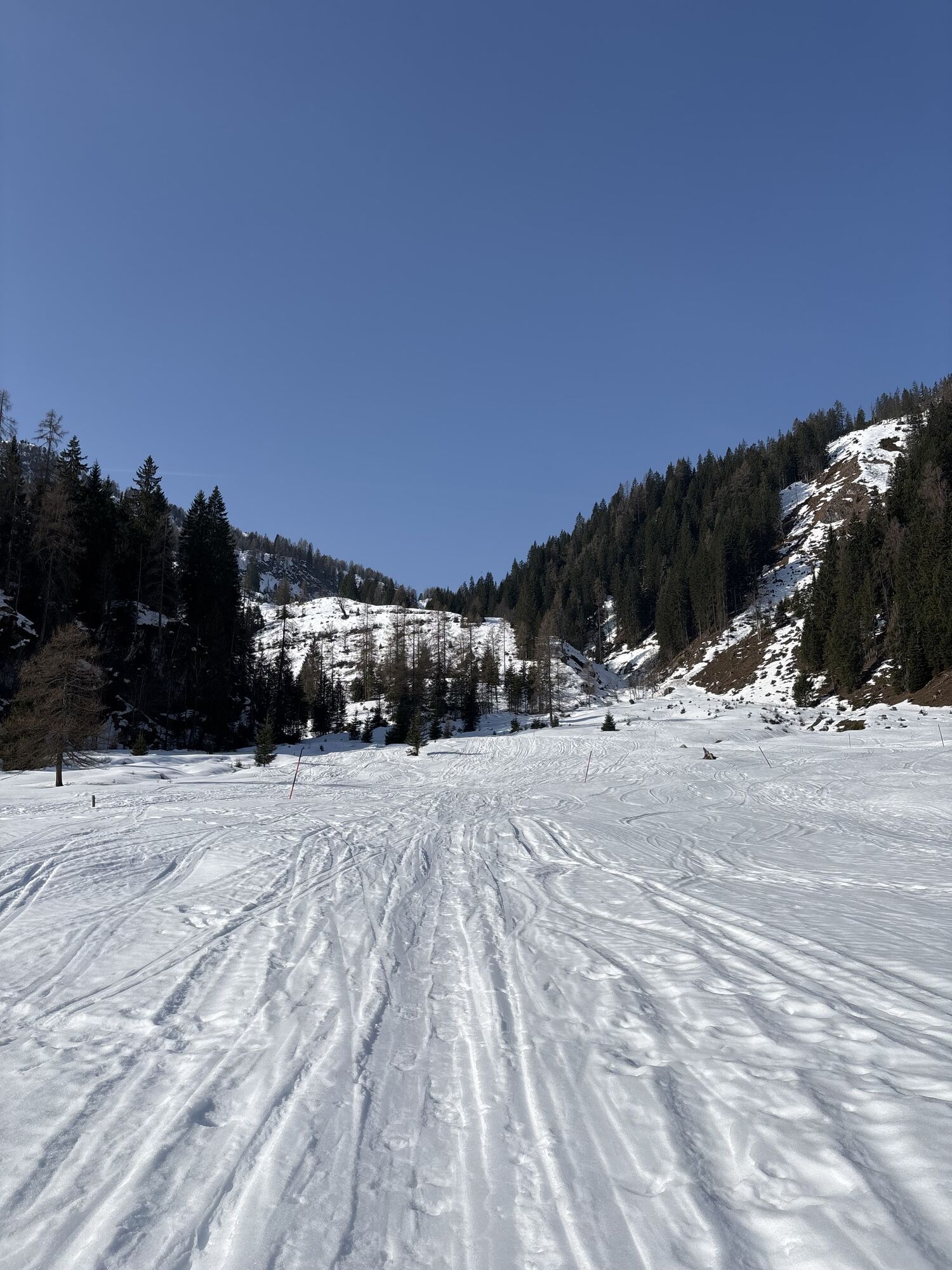
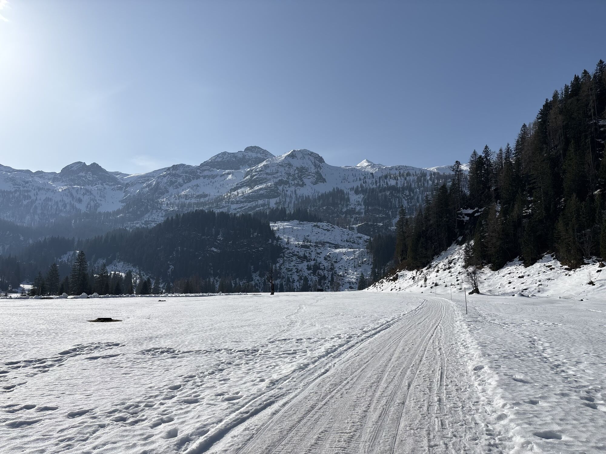
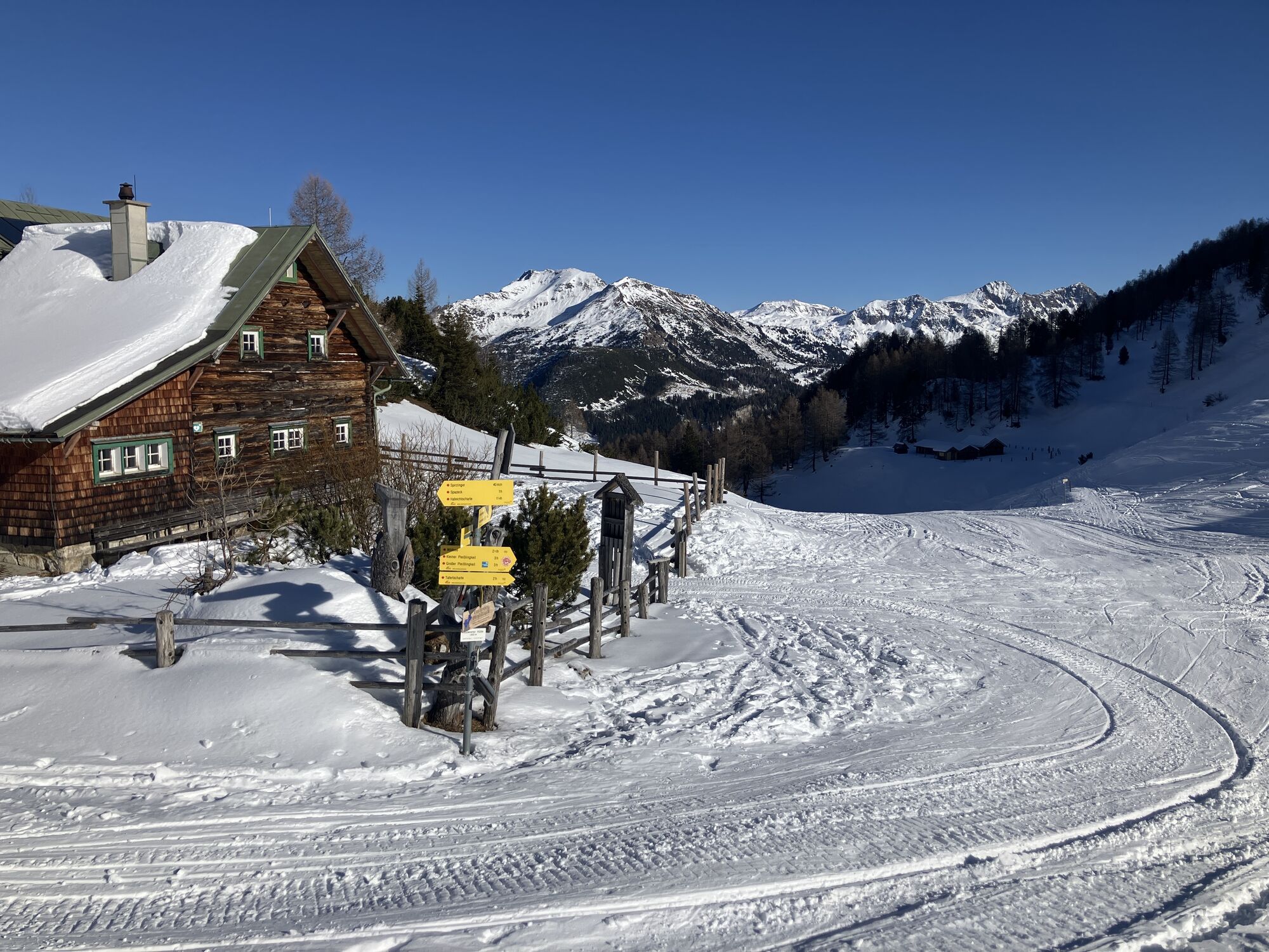
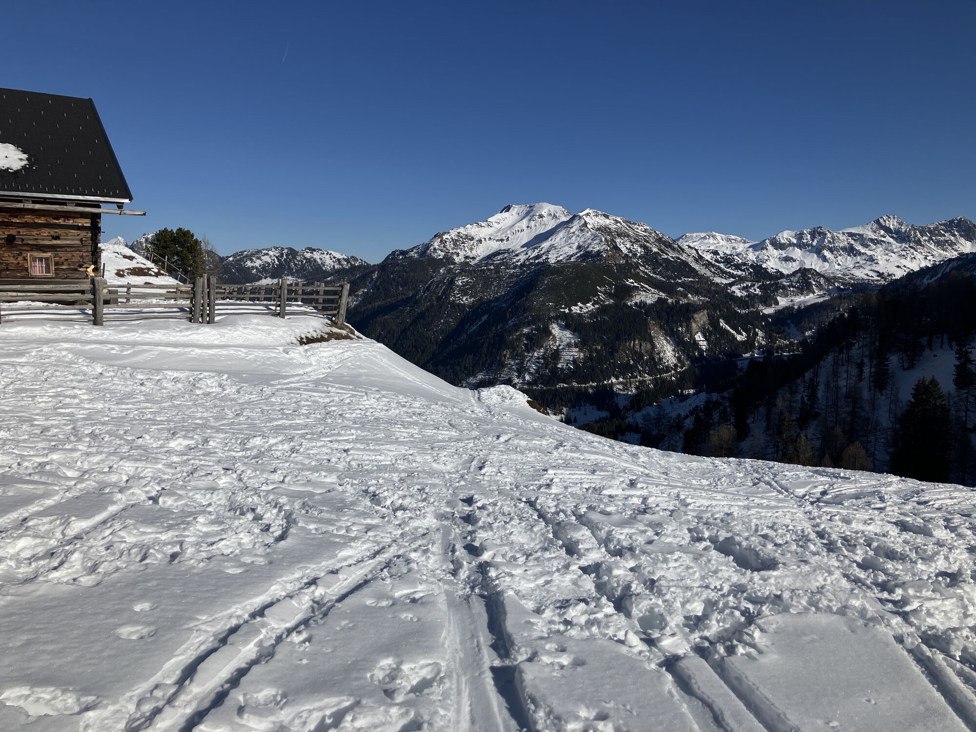
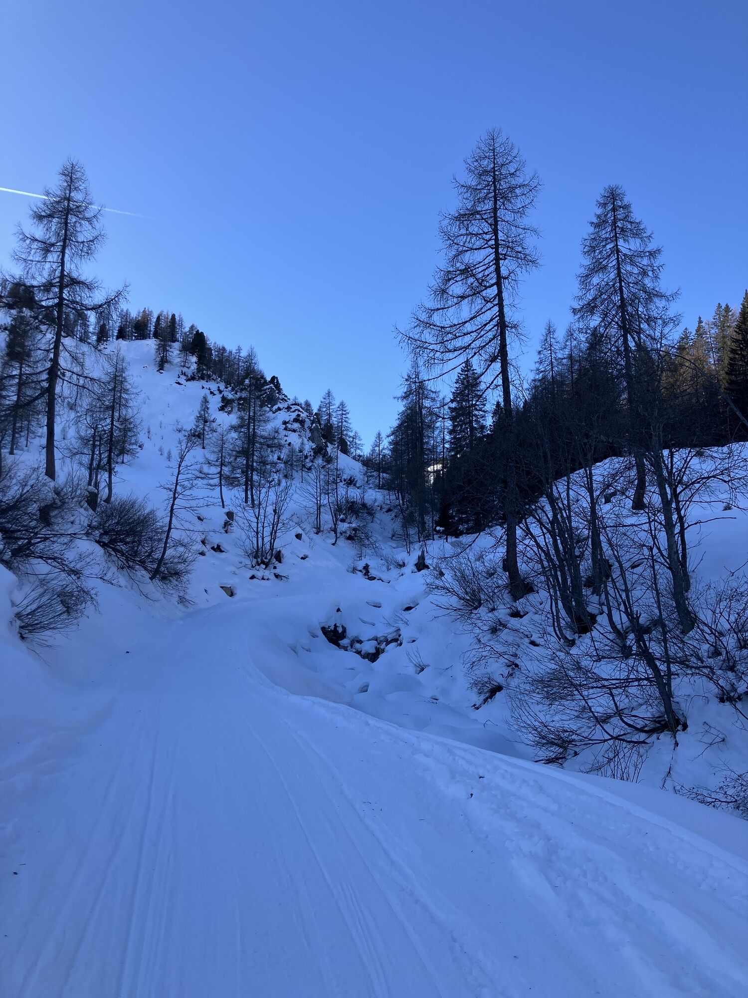
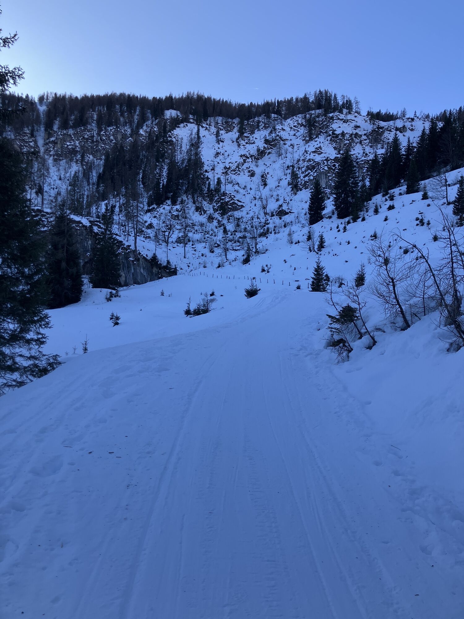
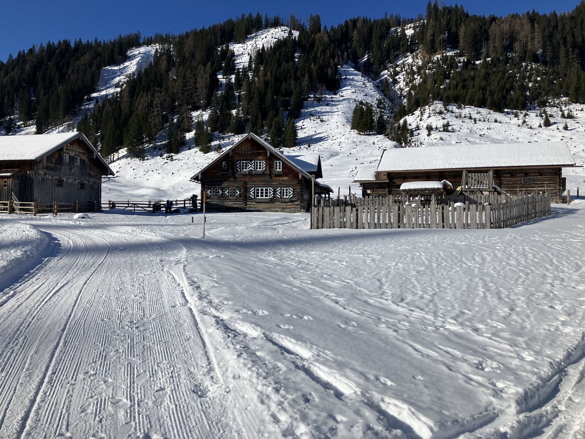
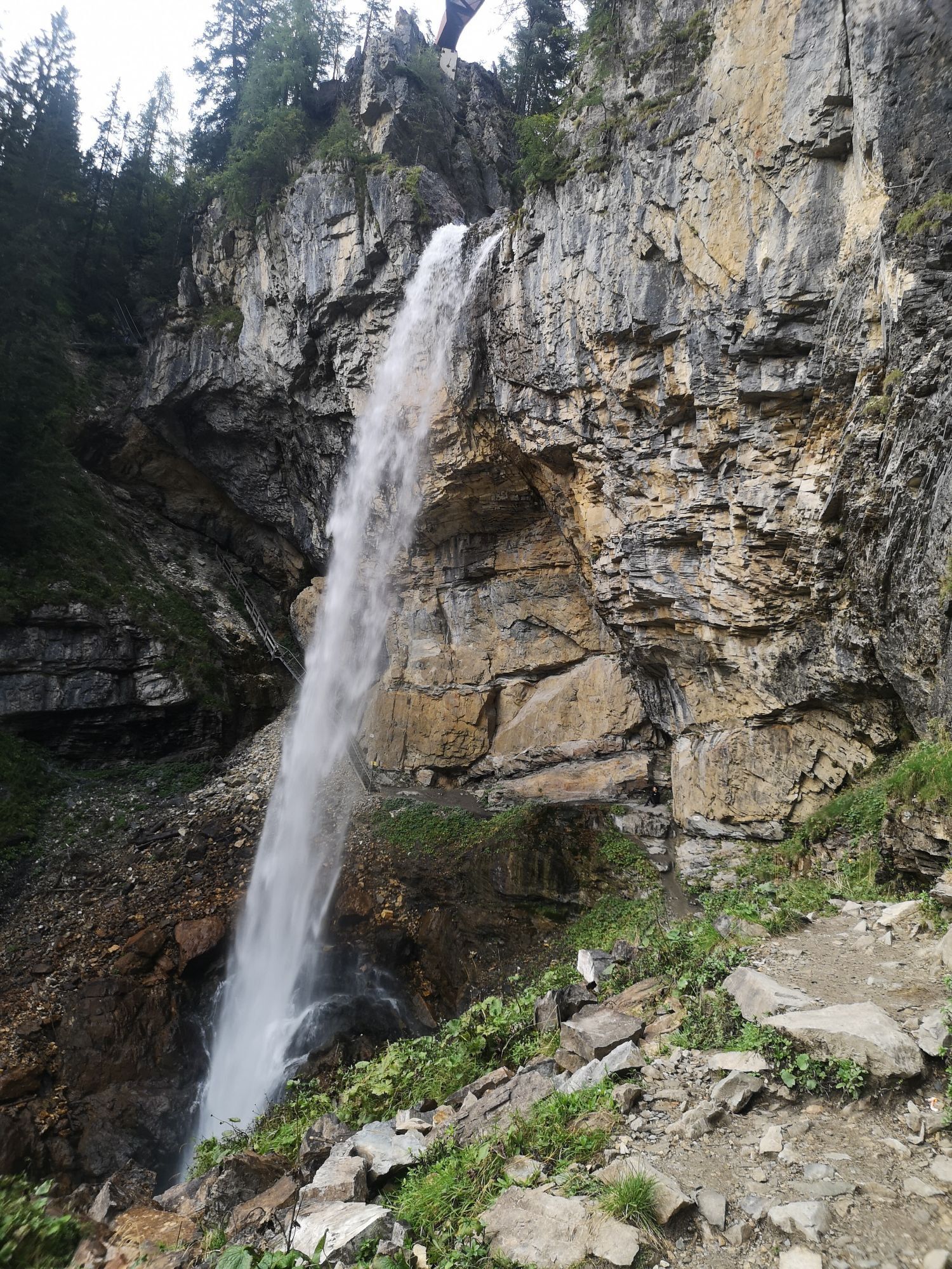
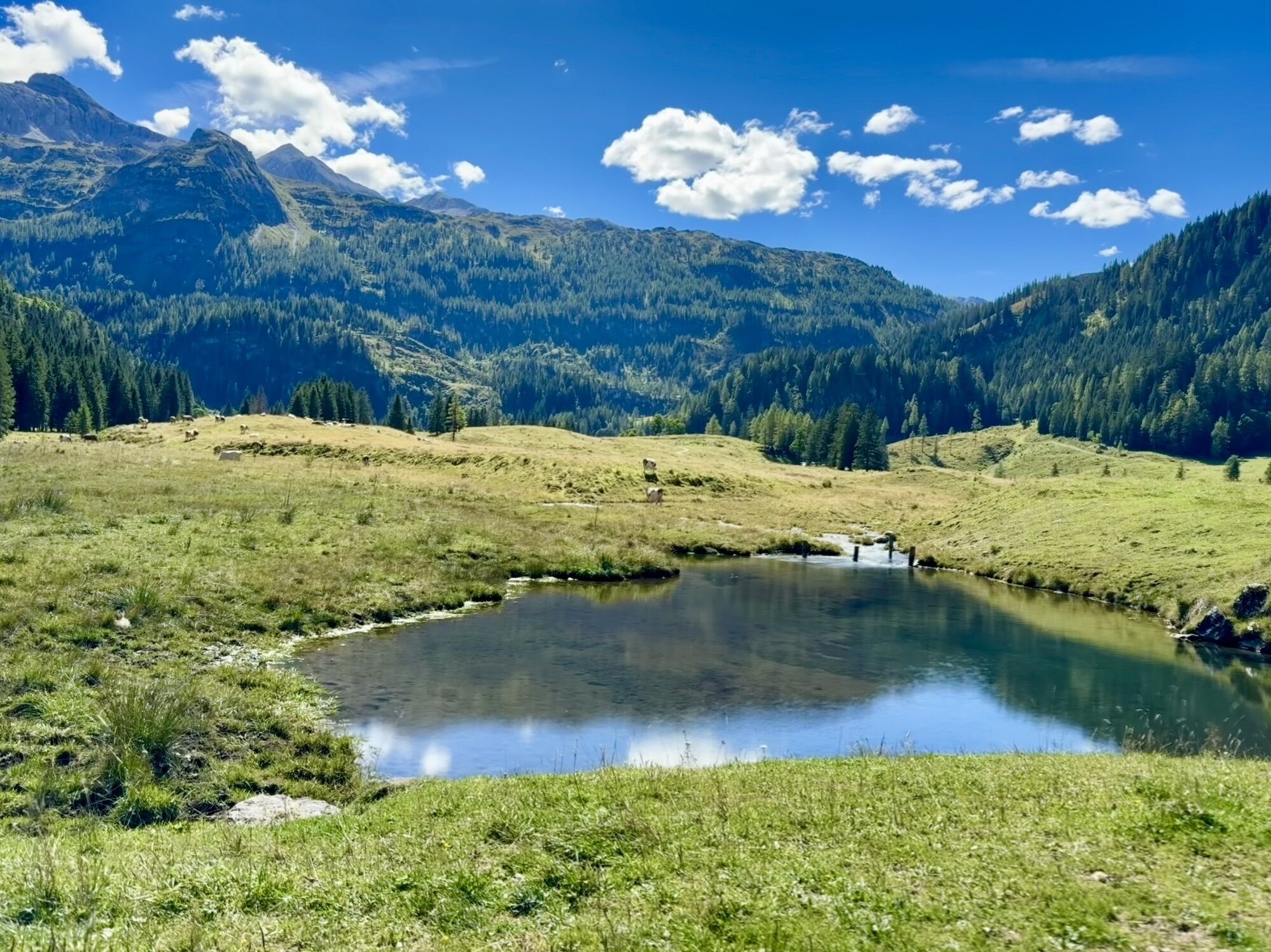
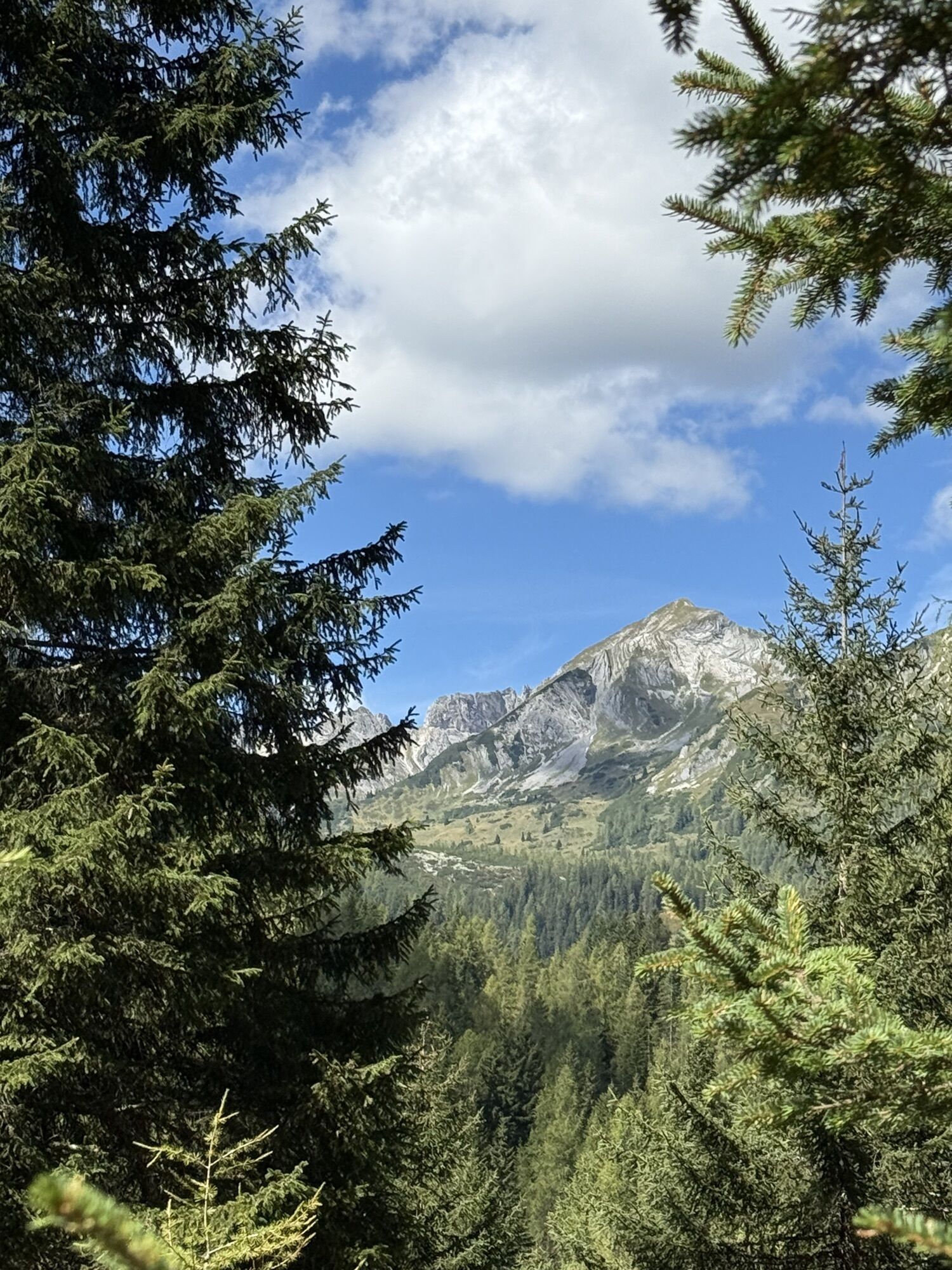
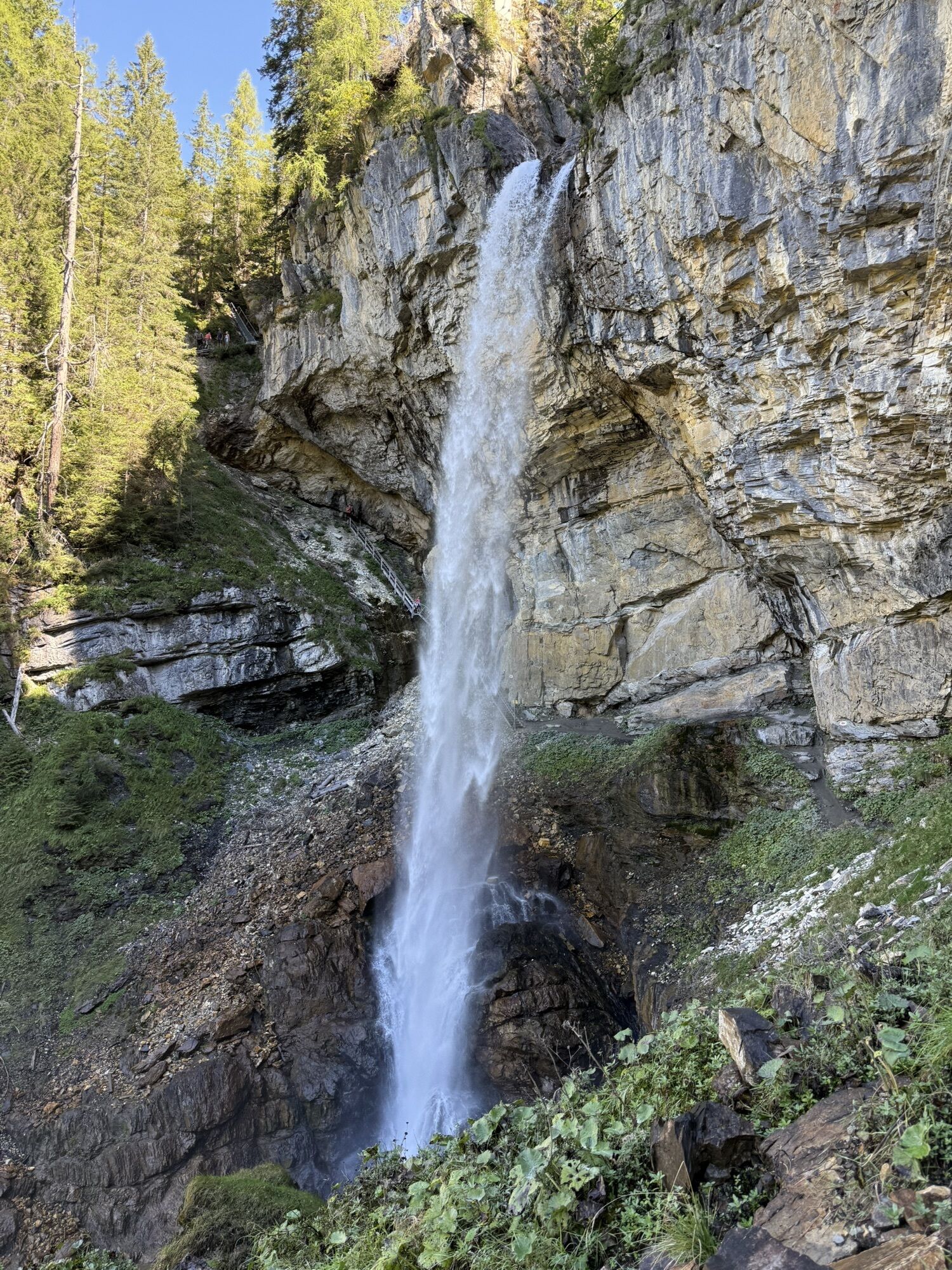
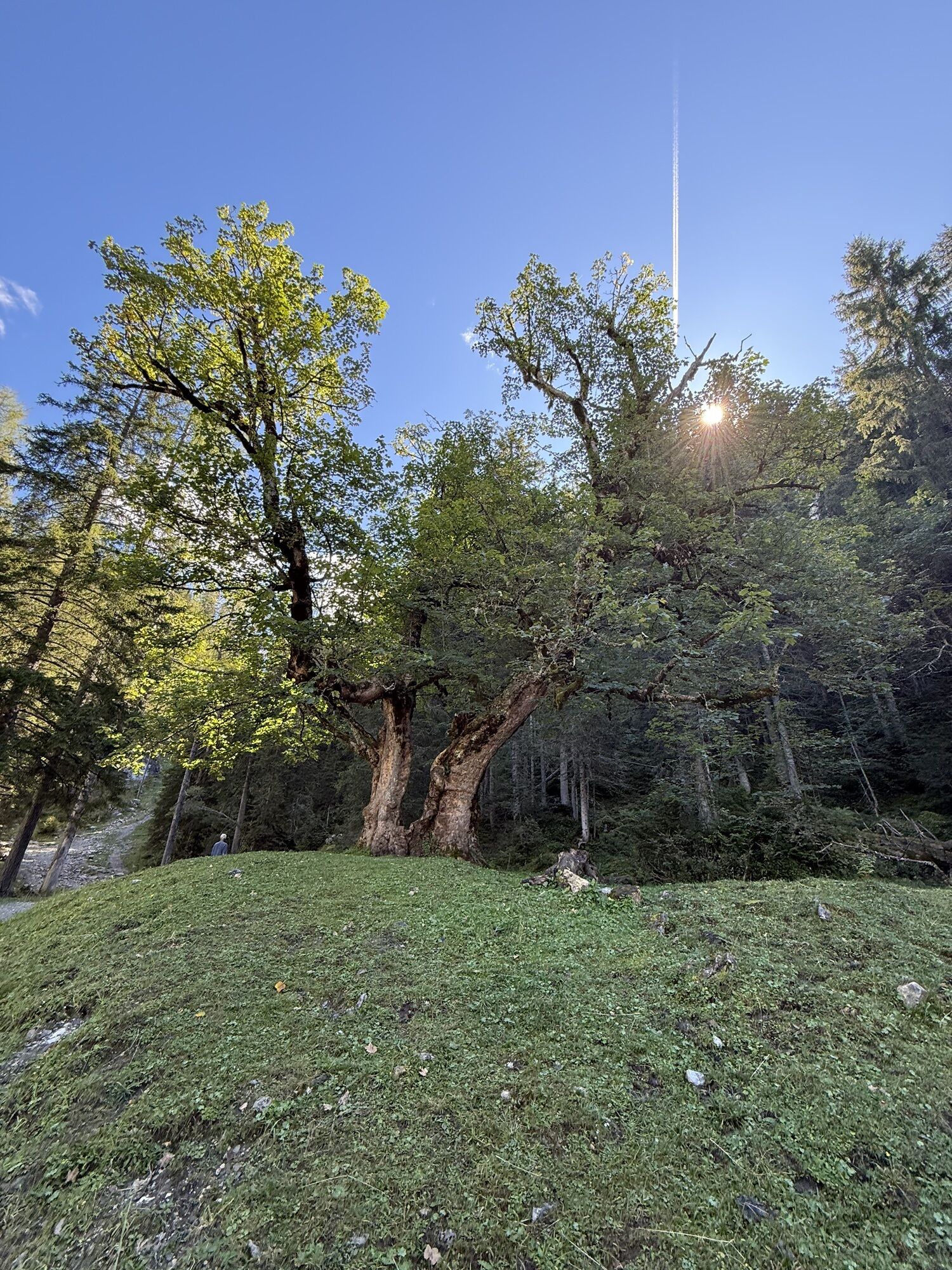
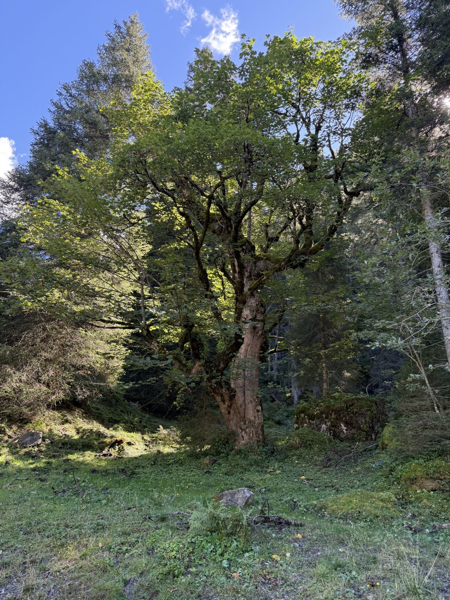
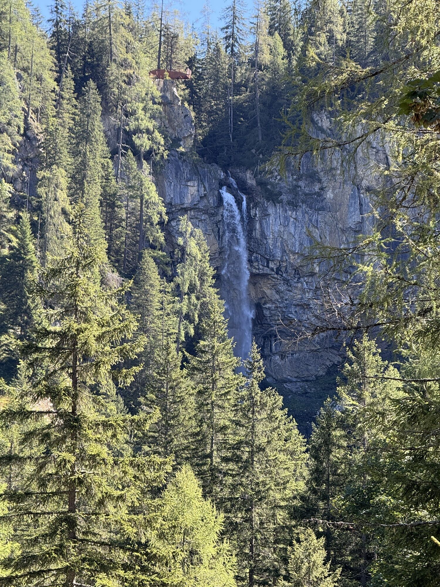
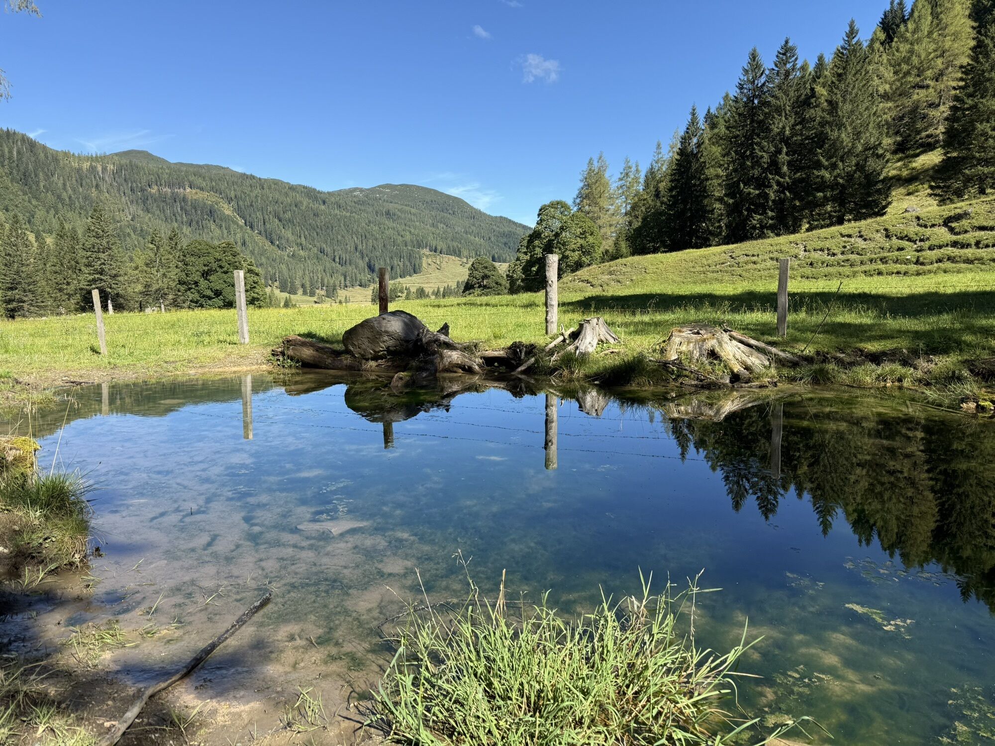
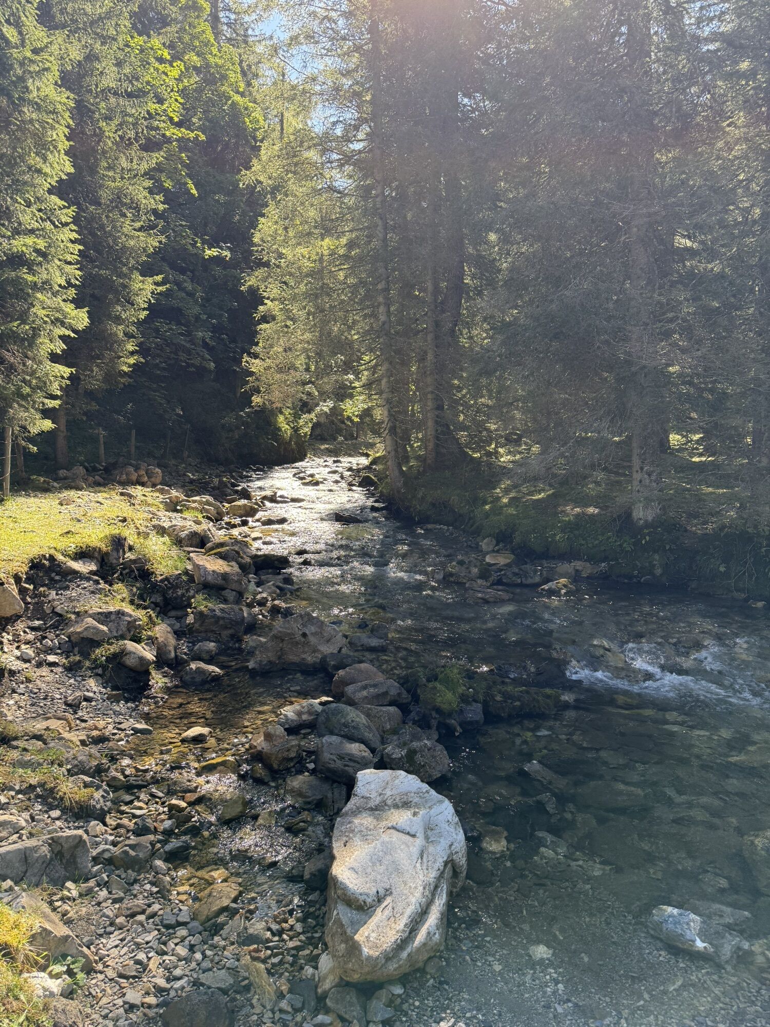
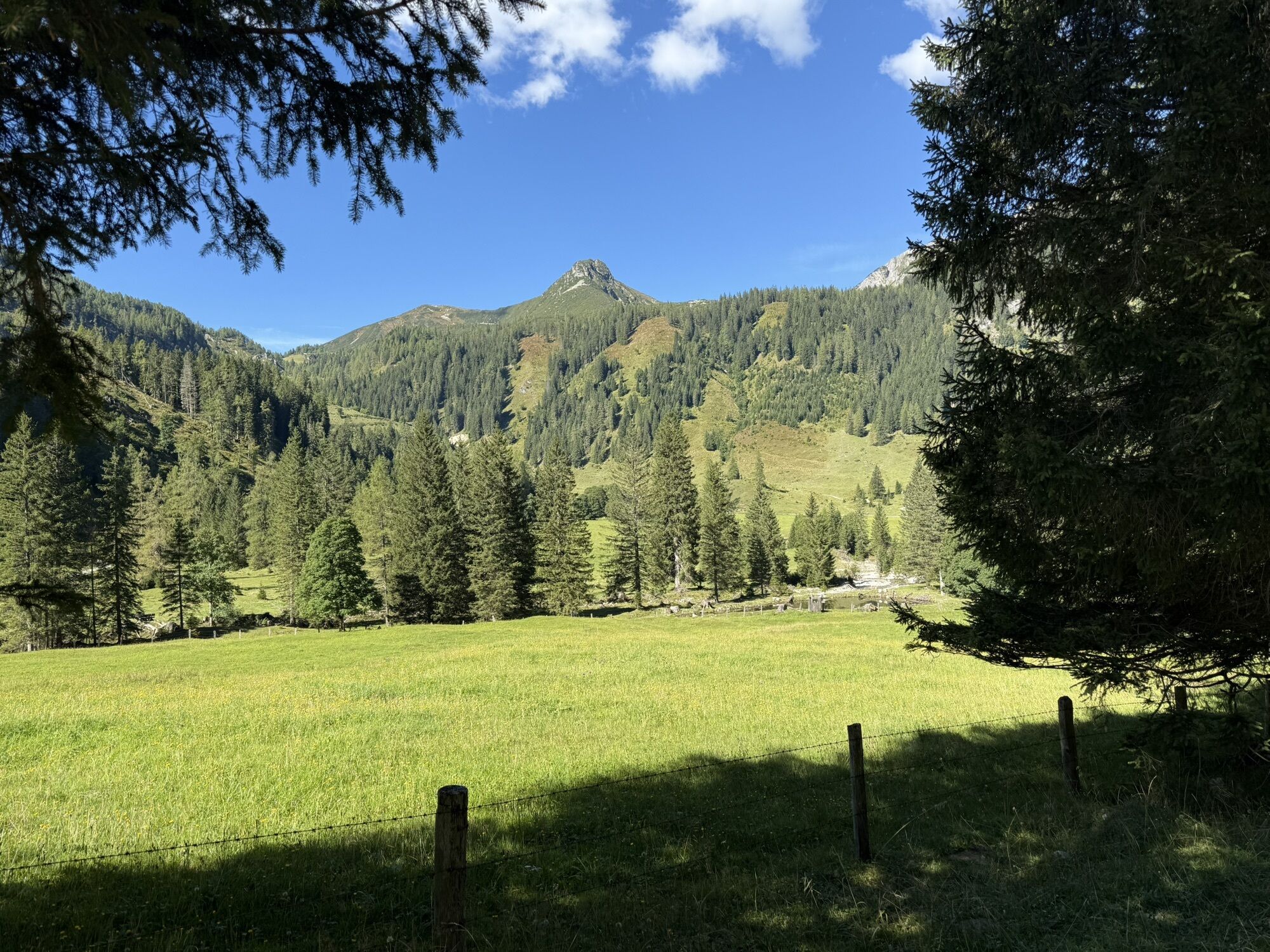
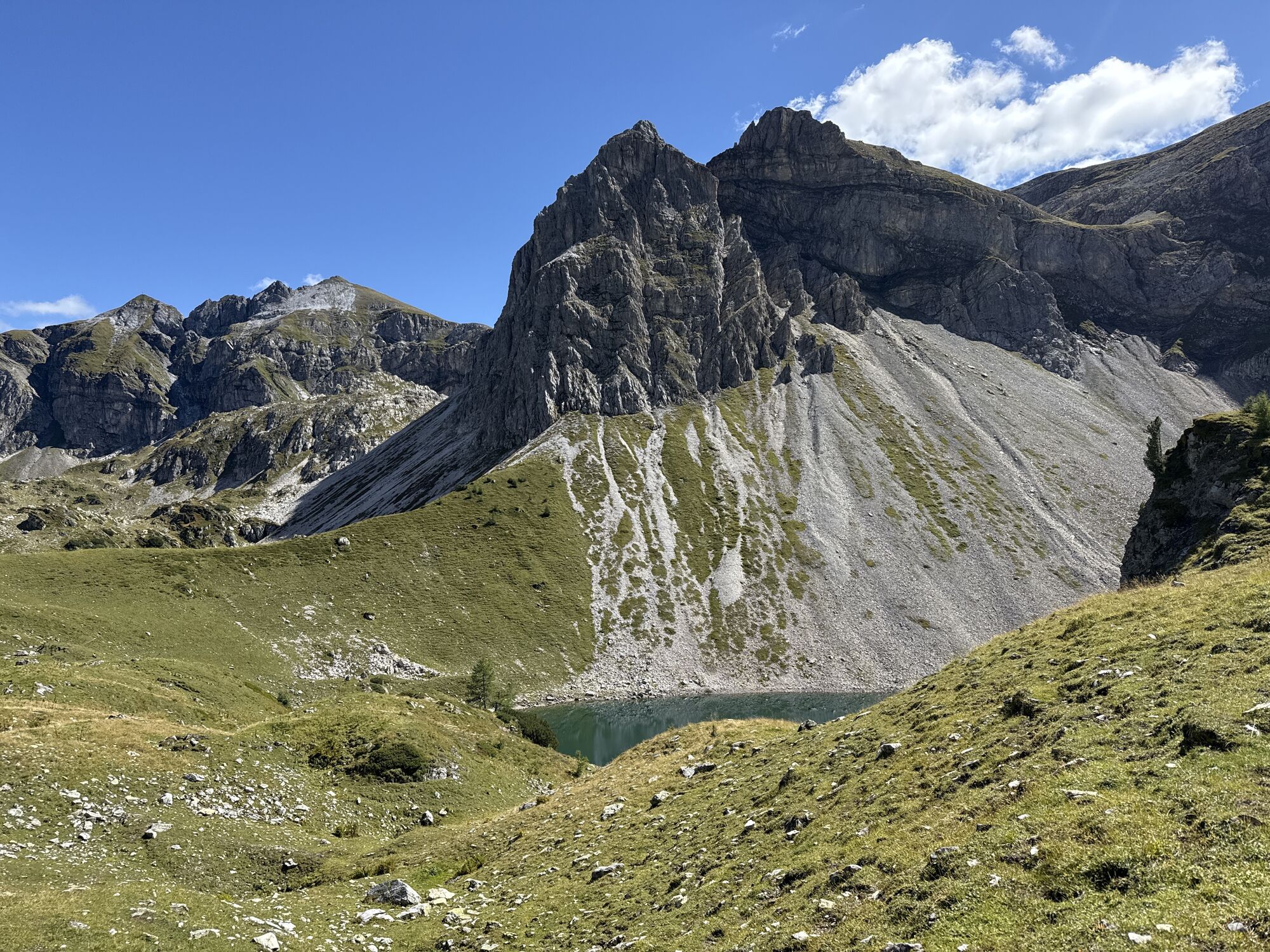
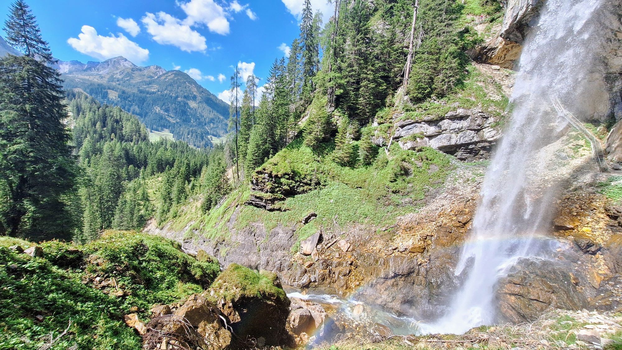
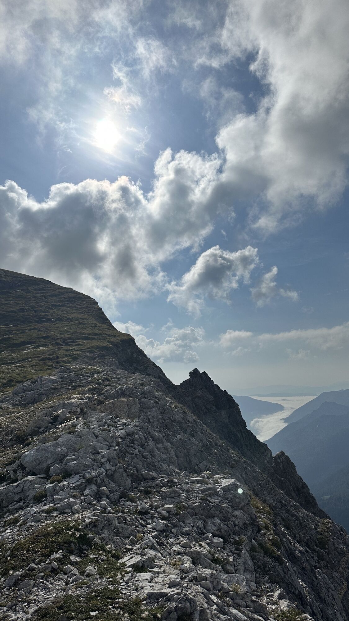
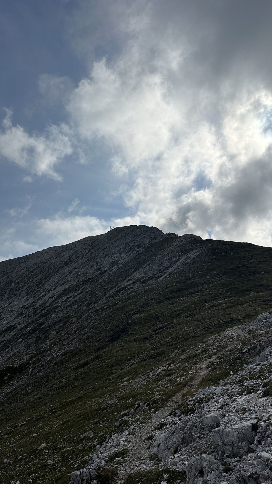
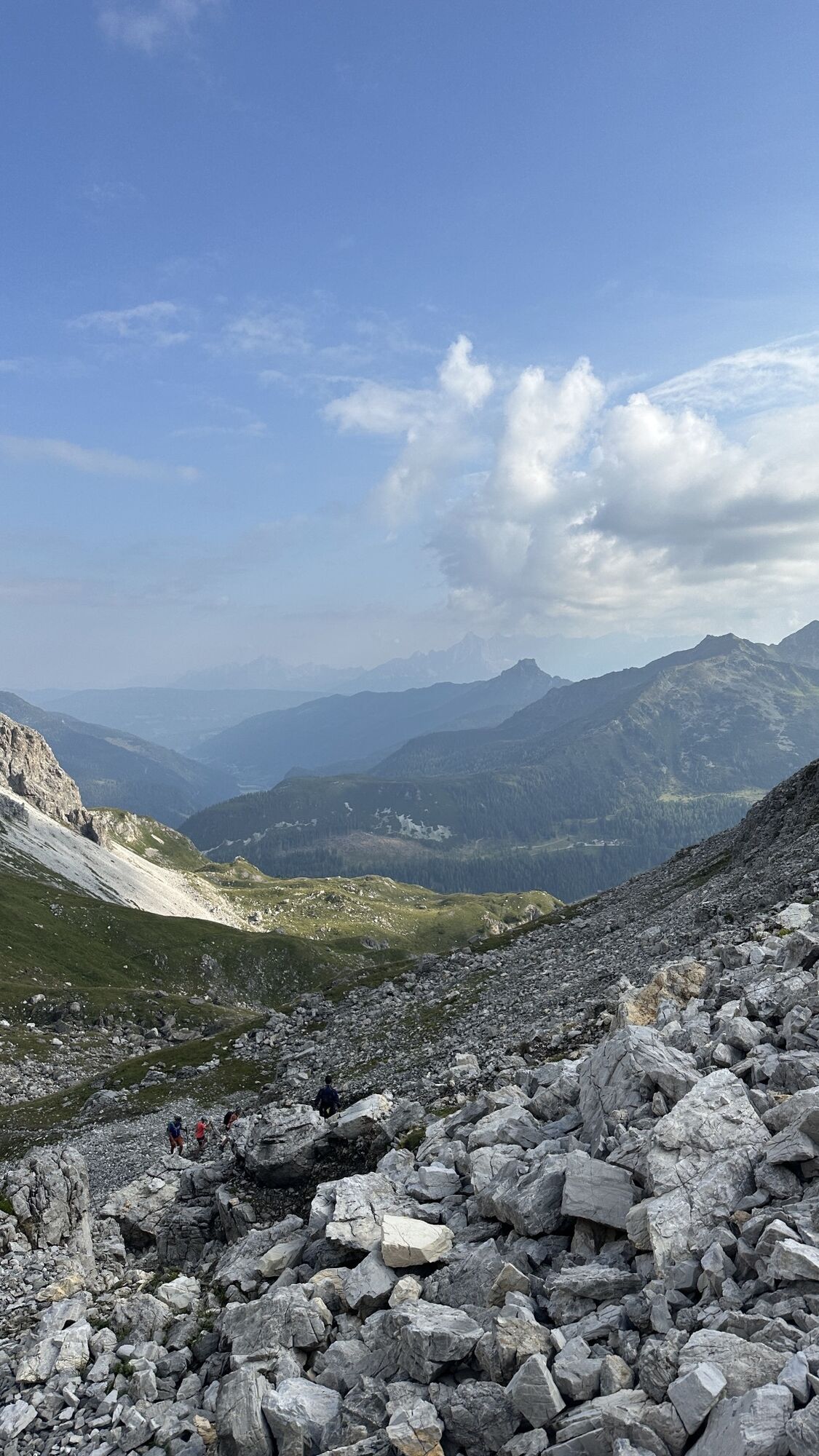
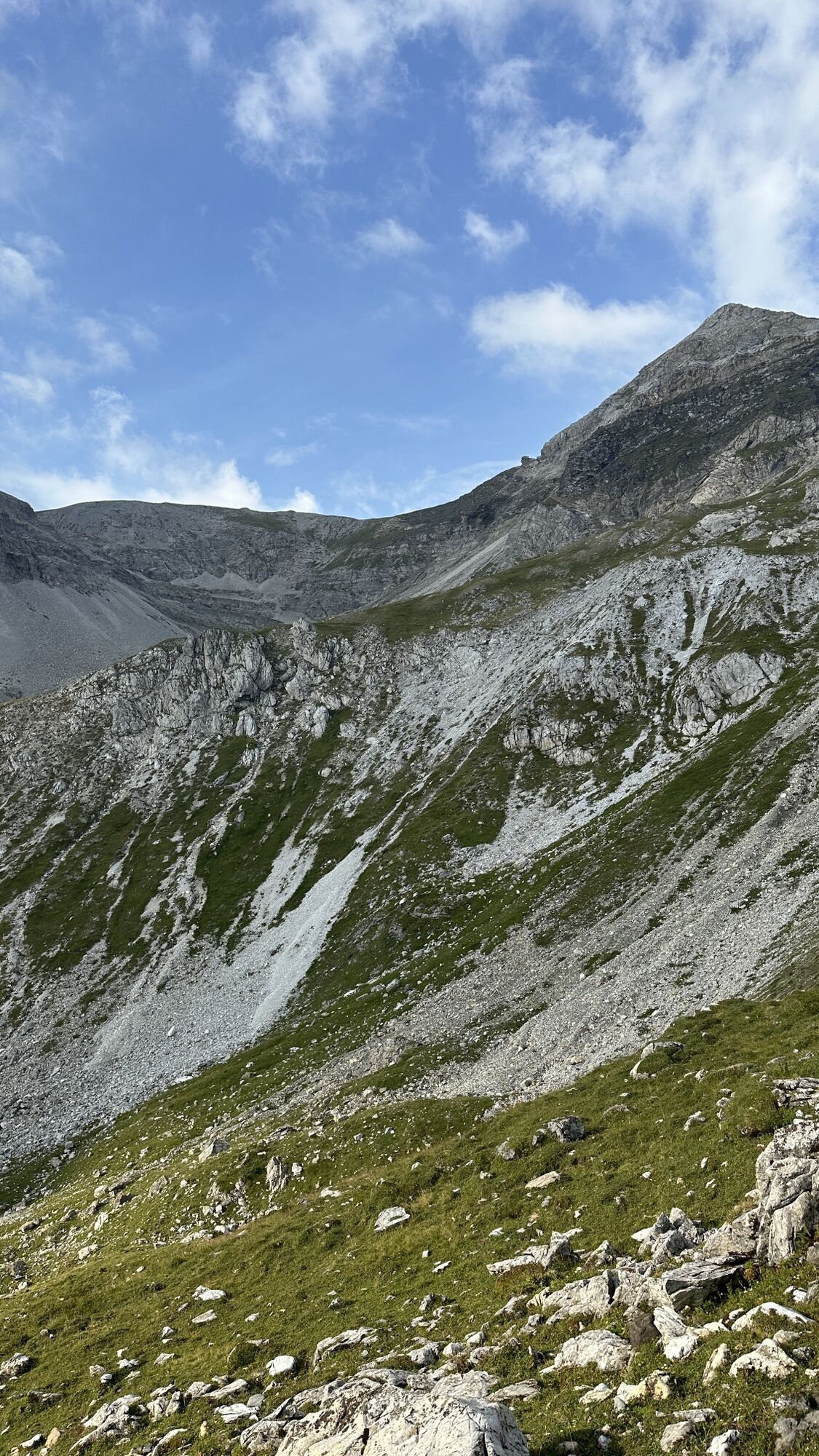
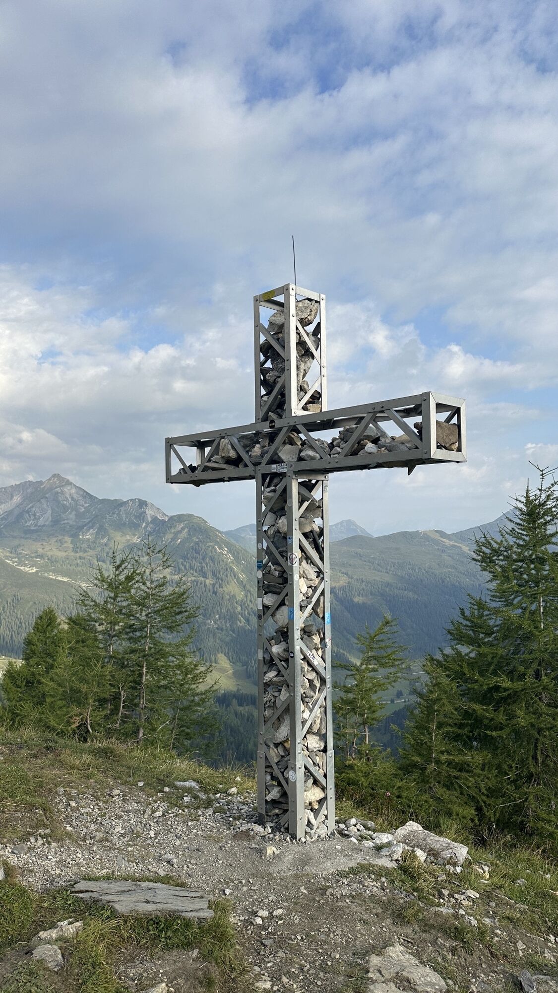
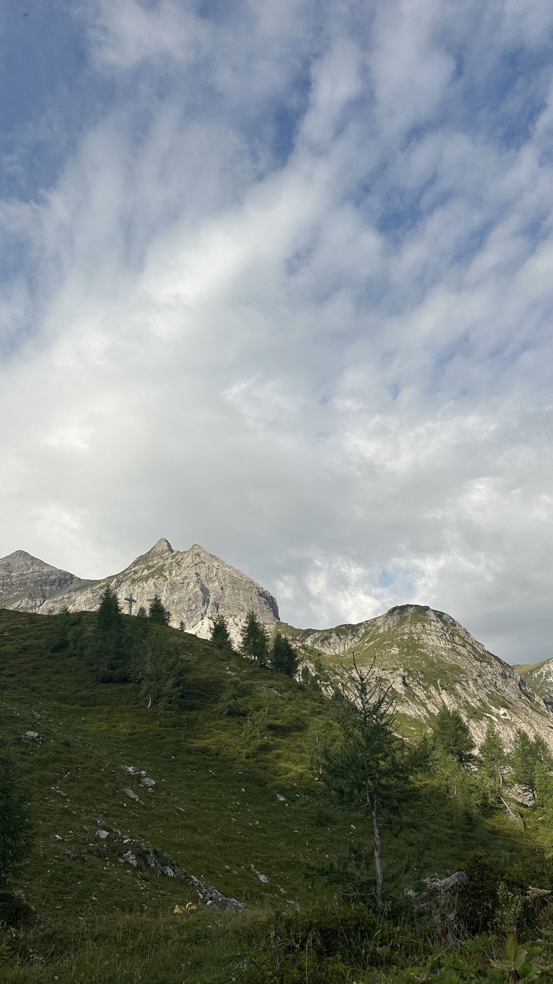
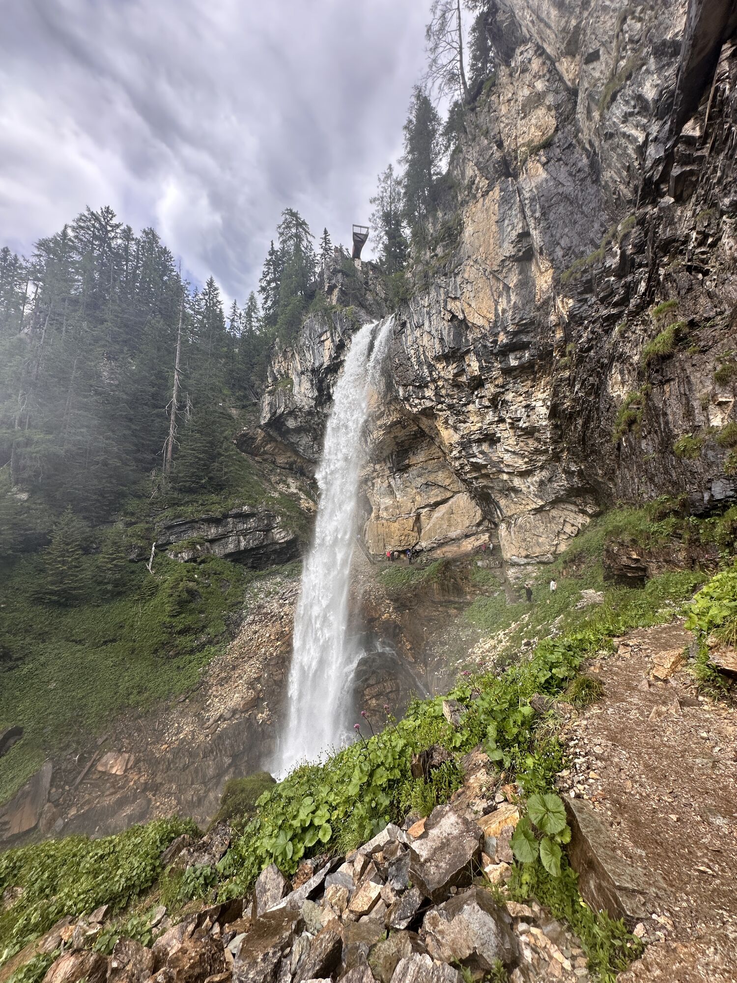
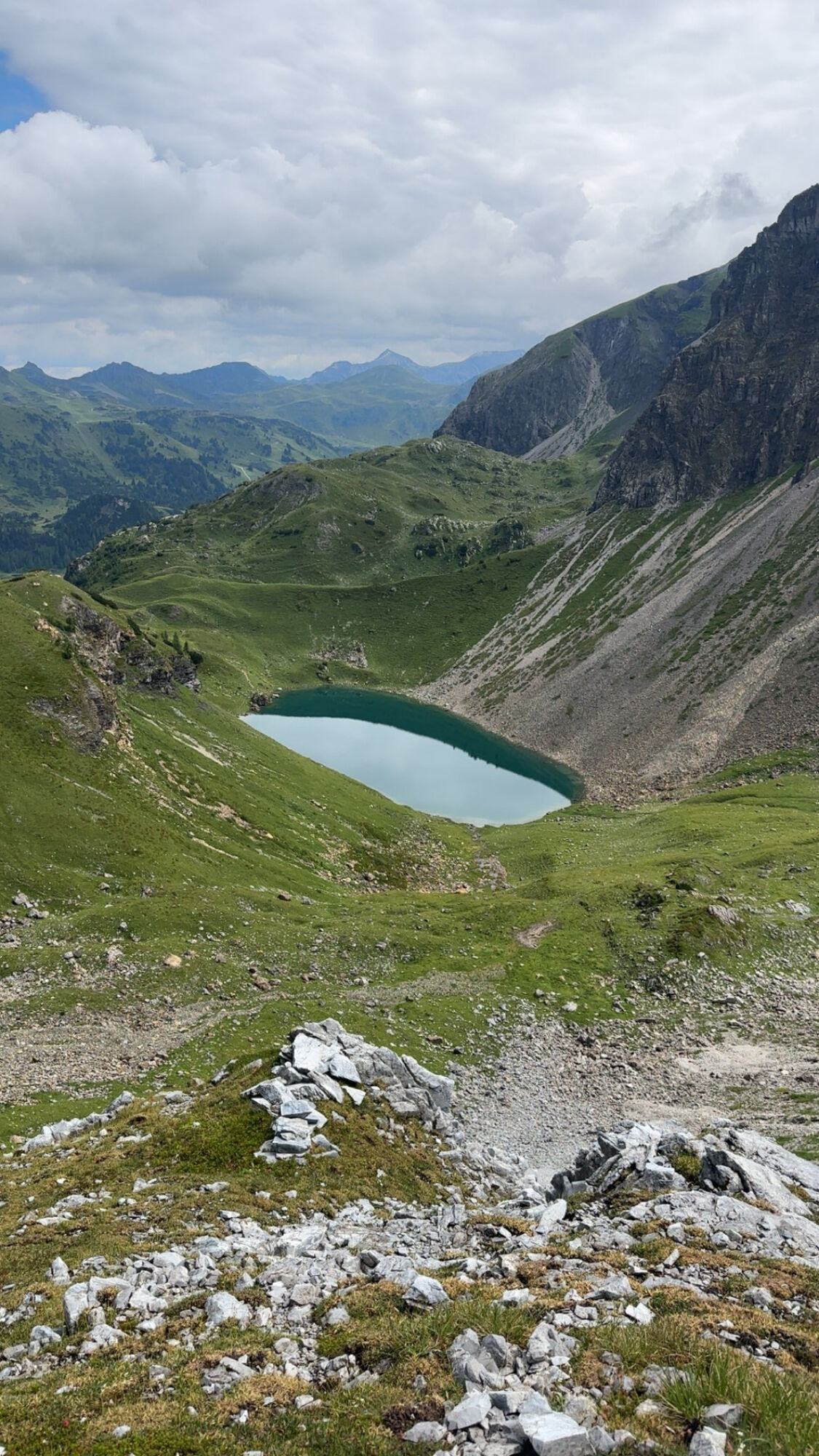
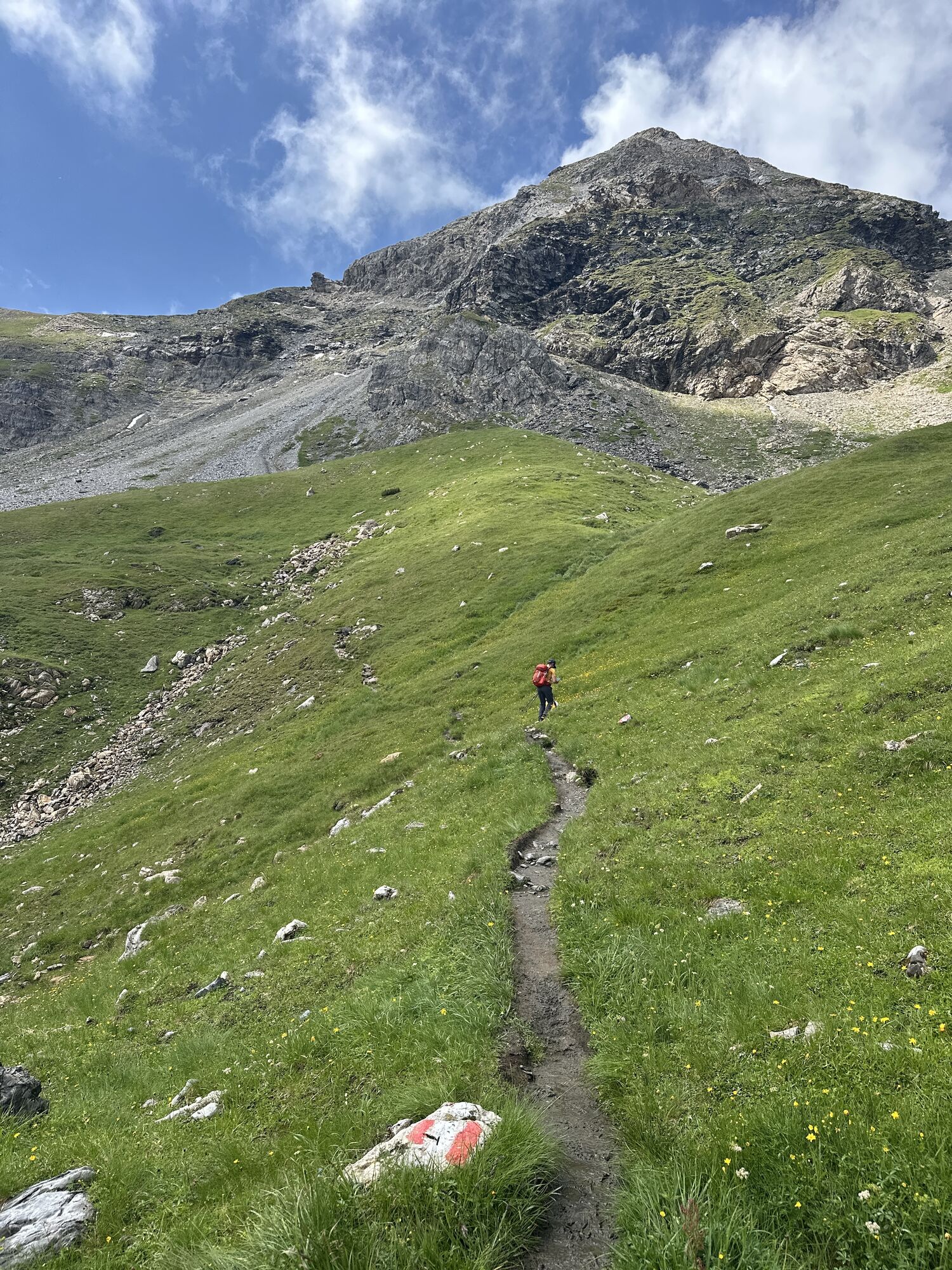
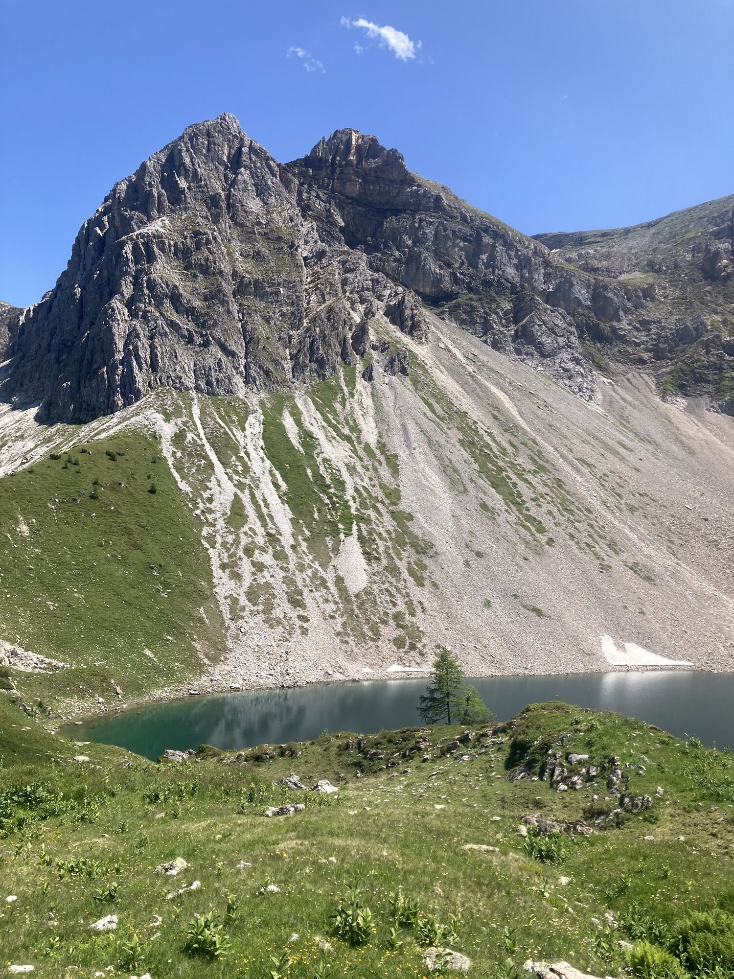
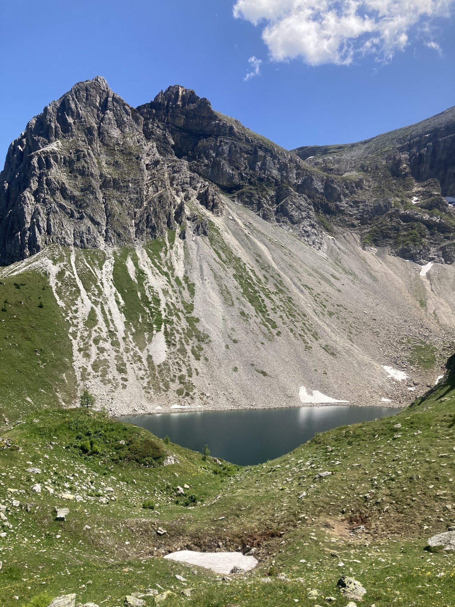
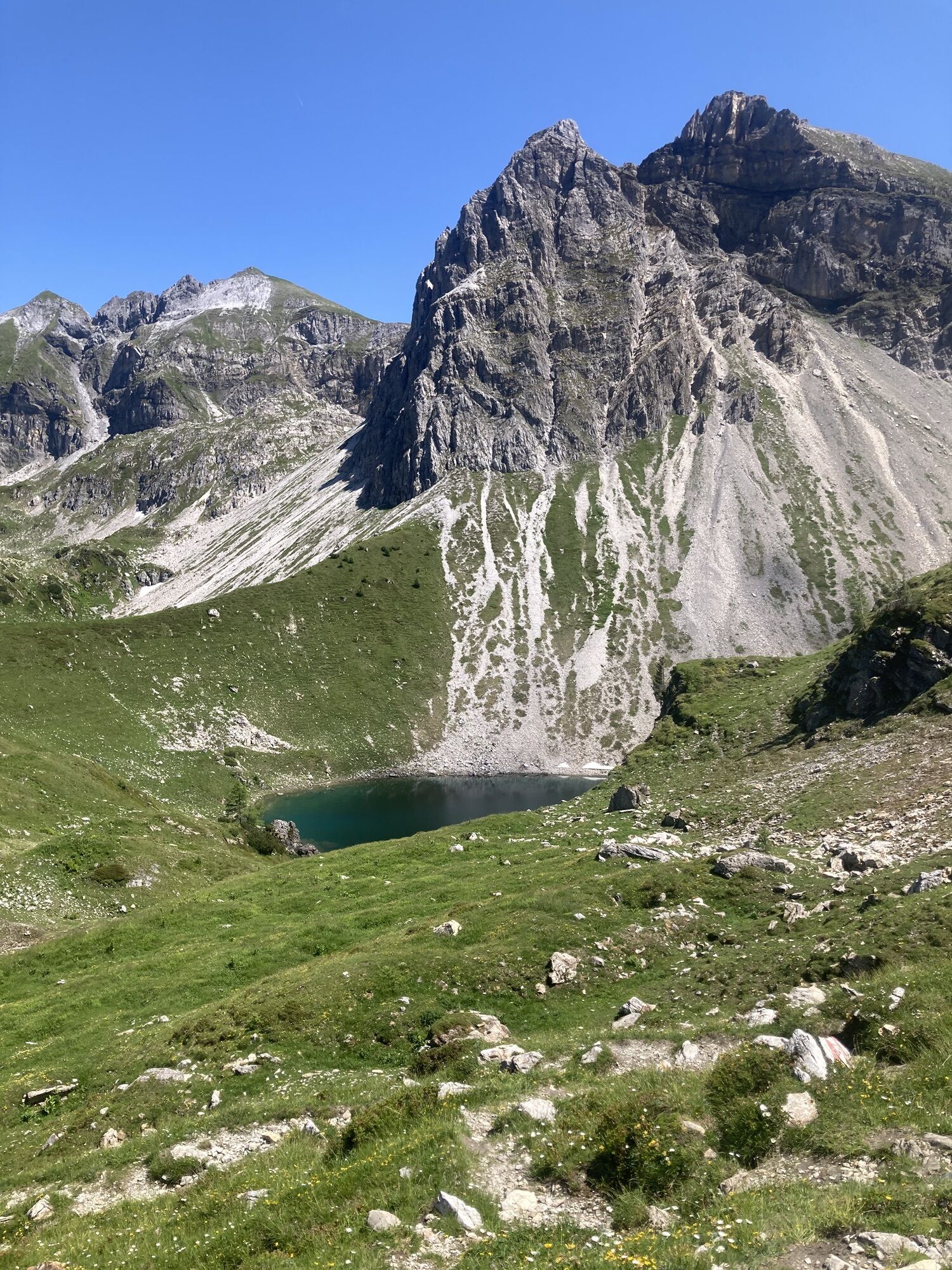


The route starts at the Gnadenalm parking lot. Initially, a gentle but steady ascent leads to the Hintergnadenalm and further to the Süd Wiener Hut/Ennslehen Hut.
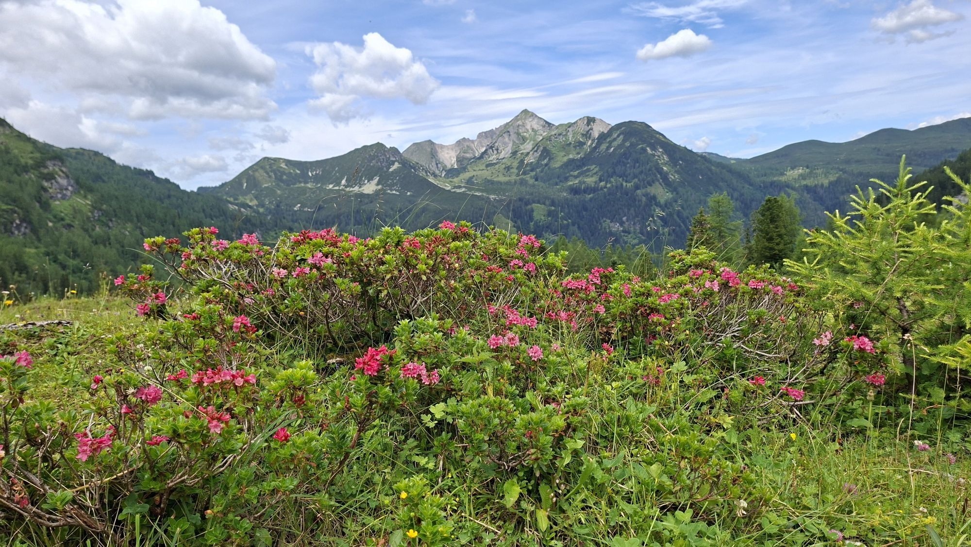
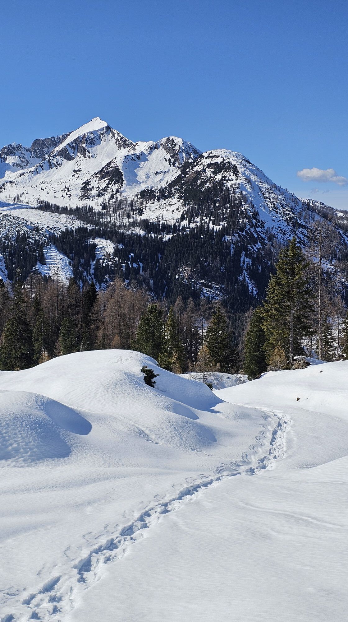
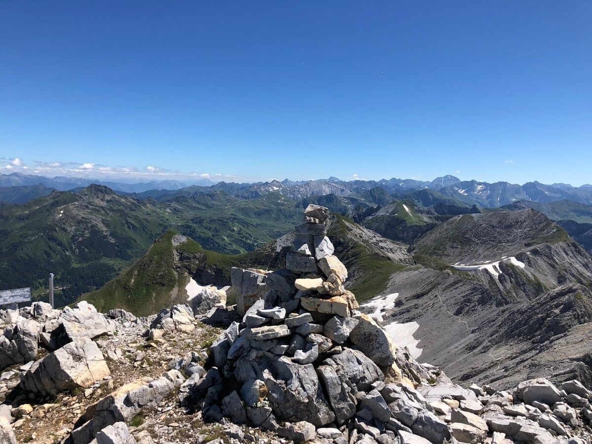
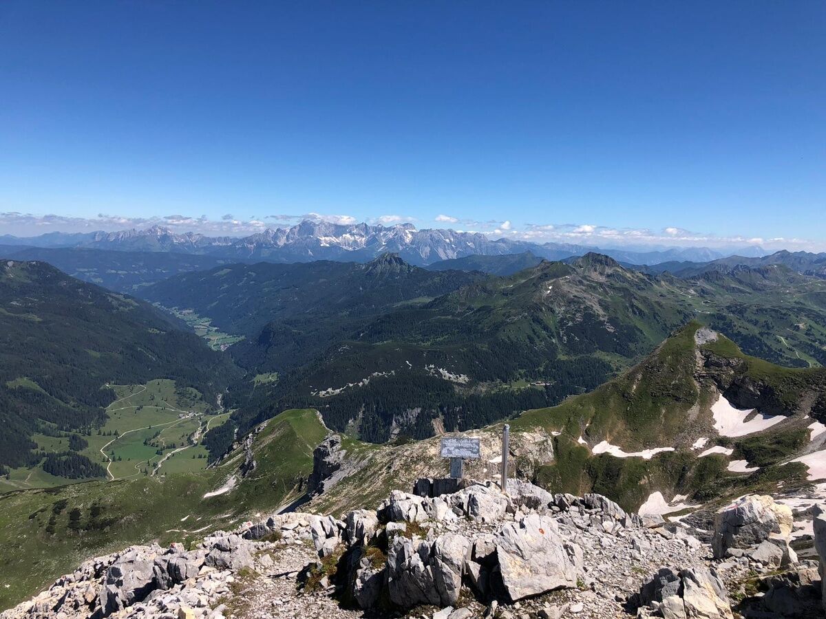
From there, the terrain becomes steeper and more alpine: A path winds its way in switchbacks up to the Hintere Großwandspitze. The ridge is partly rocky and requires sure-footedness – at the top, an impressive panorama opens up over the Radstädter Tauern.
Over the ridge, the trail continues towards the Glöcknerin, before heading to the Vordere Großwandspitze. Then follows a fine gravel crossing, which finally brings you to the Kleiner Pleißlingkeil – another worthwhile viewpoint.
From the Kleiner Pleißlingkeil, it goes northwest downhill to the Hengst, partly over narrow and alpine-capable paths. After that, a smooth stretch leads back to the Felseralm and then to the starting point at the Gnadenalm.
41% forest/meadow paths
5.4% asphalt
53.6% trails
Tak
ACCESS BY CAR
Arrive safely, quickly, and easily at your holiday destination. The hike is easily accessible via well-developed roads – from all directions!
Access from the North
Motorway Munich - Salzburg - A10 Tauern Motorway - Motorway exit Radstadt, Exit 63 - B99 Katschberg Federal Road - Radstadt - Parking lot Gnadenalm Stüberl
Access from the South
Villach - A10 Tauern Motorway - Motorway exit tollbooth St. Michael, Exit 104 - Mauterndorf - Obertauern - Parking lot Gnadenalm Stüberl
Access from the East
Vienna - A2 - S6 - Semmering - A9 Pyhrn Motorway - Liezen B320 - Radstadt or Judenburg - Murtal Federal Road - Murau - Tamsweg - Mauterndorf - Obertauern - Parking lot Gnadenalm Stüberl
TIP: If you want to arrive by public transport, the Postbus line 280 stops directly in Obertauern.
Online bus timetable information
You can park for free at the parking lot by the Gnadenalm Stüberl. This parking lot is also the starting point for the route.
Kamery internetowe z trasy
-
Gamskogelhütte
-
Plattenkar
-
Gnadenalm
-
Grünwaldkopf
-
Zehnerkar
-
Seekar
-
Sporthotel Snowwhite
-
Hotel Cinderella
-
Sonnenterasse Edelweissalm
-
Hotel Garni Gloria
-
Lürzeralm
-
Hotel Kesselspitze
-
Hotel Auerhahn - Obertauern
-
Hotel Schneider
-
Breitlehenalm
-
Zauchensee Weltcuparena
-
Gamsleiten
-
Zauchensee
-
Hochalmkopf
-
Zauchensee Weltcuparena
-
Obertauern - Haus Petergstamm
-
Zauchensee - Hotel Alpenhof
-
Seekarhaus - Obertauern
-
Seekarhaus - Bergstation Seekarspitzbahn
-
Zauchensee - Rosskopf
-
Seekarhaus 3
-
Schaidberg
-
Zehnerkar
-
Obertauern - Aparthotel Weninger Alm
-
Obertauern - Hundskogel
-
Obertauern - Gamsleiten
-
Hotel “Der Sailer”
-
Gamsleiten
Uzyskaj wgląd
Zawsze na żywo z ponad 9 500 kamer internetowych. bergfex Jako użytkownik Pro, możesz teraz zobaczyć odpowiednie kamery internetowe dla wielu wycieczek w aplikacji wycieczki od. Pozwala to na bezpośredni podgląd aktualnych warunków.
Popularne wycieczki w okolicy
-
5,0
Hüttschlag: Karteistörl - Tappenkarsee - Draugsteintörl - Draugsteinalmen
średniWędrówka 13,5 km -
4,9
Rundwanderweg von der Fallhausalm und Vögeialm übers Klamml zur Oberhütte am See
średniWędrówka 10 km -
4,1
Tappenkarsee Kleinarl
średniWędrówka 9,11 km -
4,6
Ski route Lackenkogel
średniWycieczka narciarska 7,82 km -
4,8
Obertauern to the Johannes Waterfall
średniWędrówka 9,39 km -
5,0
Twengsee
średniWędrówka 9,66 km -
4,7
Reiteralmrunde
światłoWędrówka 5,71 km -
5,0
Doggotour von Hochwurzen zur Ursprungsalm
ciężkiWędrówka 16,0 km -
4,6
Mosermandl Windischscharte, Salzburger Land/Österreich
ciężkiWędrówka 14,6 km -
5,0
4-Gipfel-Tour
średniWycieczki górskie 6,40 km
Wędrówki i tropienie


Nie przegap ofert i inspiracji na następne wakacje
Twój adres e-mail została dodana do listy mailingowej.





