


Flori's Erlebnispfad
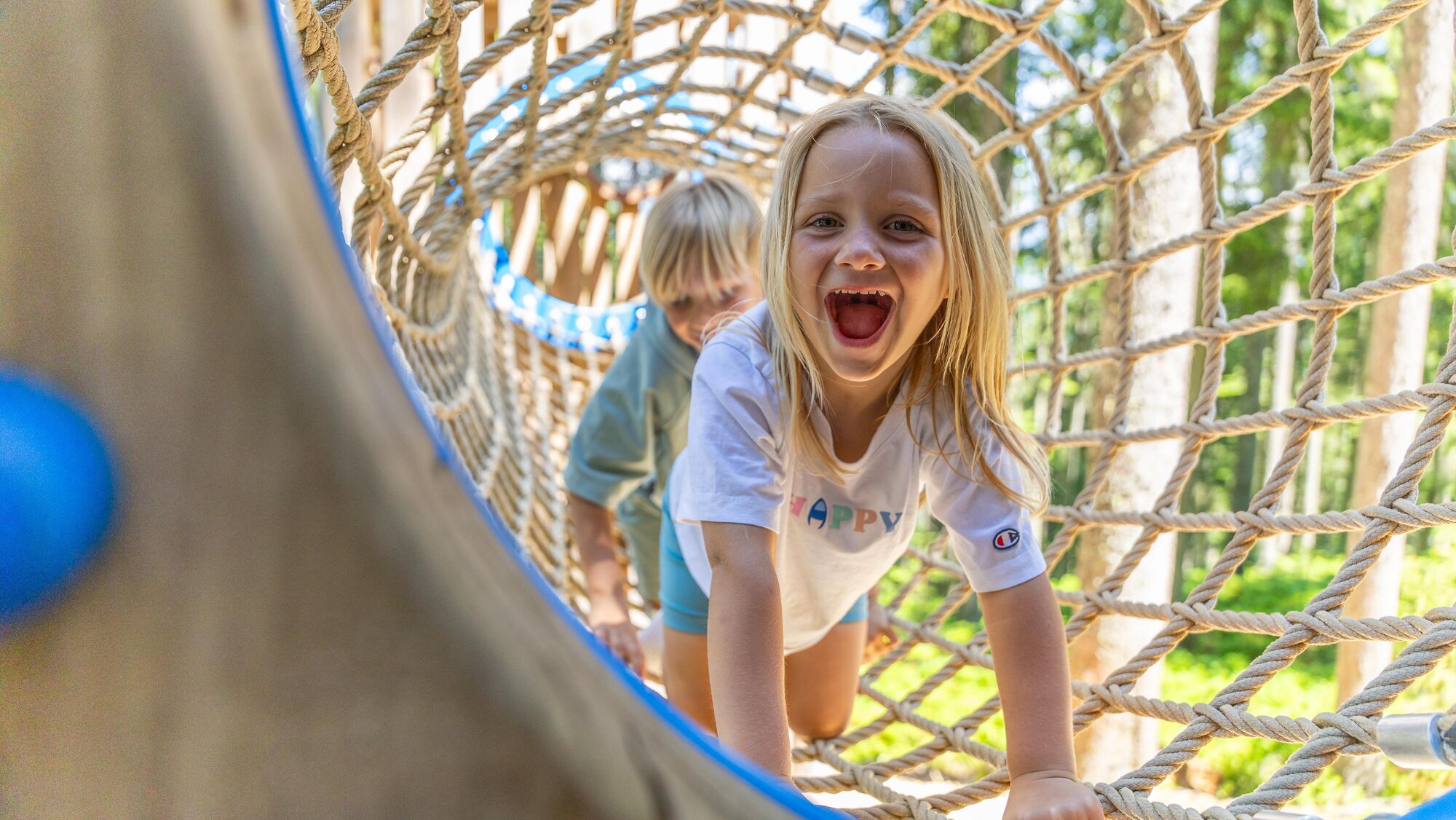
This stroller-friendly adventure path is optimal for families with children of all ages. Countless fun play and puzzle stations like flying fox, swings, climbing walls, or slides make kids’ hearts beat...
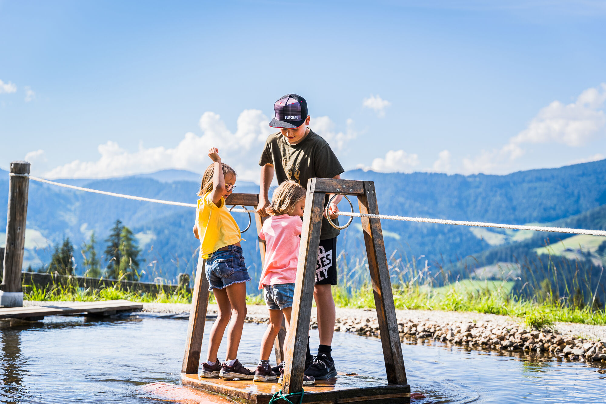
This stroller-friendly adventure path is optimal for families with children of all ages. Countless fun play and puzzle stations like flying fox, swings, climbing walls, or slides make kids’ hearts beat faster. For all who crack Flori's secret code word, there is a small surprise, so you don't forget Flori and the great adventures so soon at home.
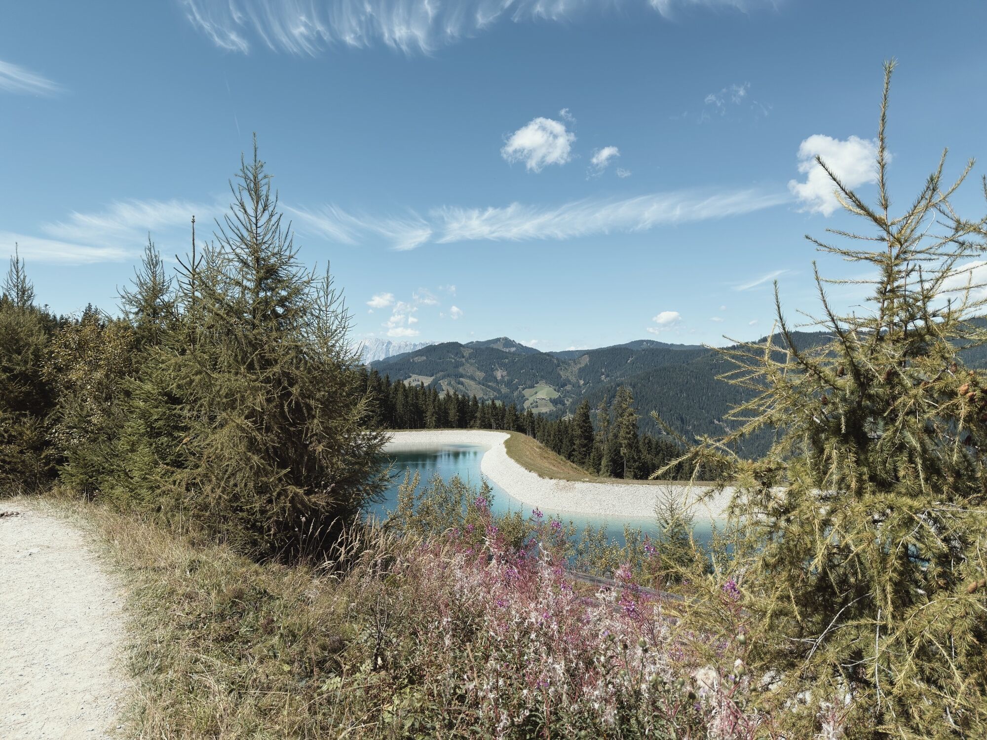
A Salzburger Sportwelt hiking map as well as a Flachau hiking map are available free of charge at Flachau Tourism.
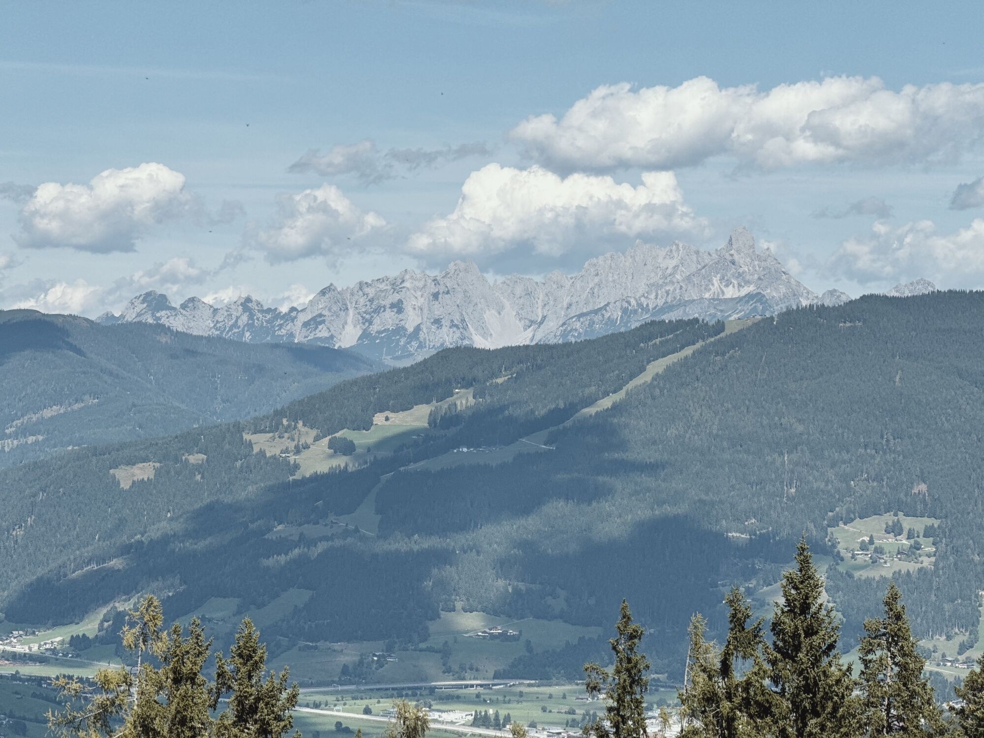
The best view of the hike is on the Flachau local map, which is also available for free at the Flachau Tourist Office.
Tak
Tak
no special equipment is necessary
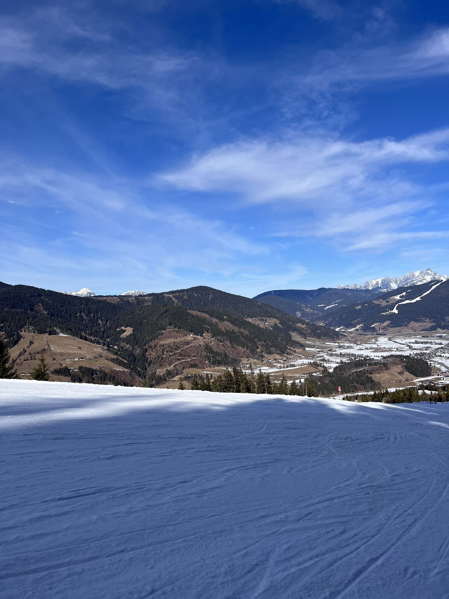
Check weather forecast: A must-do before every hike. Weather can change surprisingly fast in the mountains. Observe the current weather conditions at: www.zamg.ac.at.
Important tips:
do not overestimate yourself
manage your strength and stamina well
turn back in time in case of weather changes
Mountain rescue number: The phone number 140 is the emergency number for alpine accidents in Austria
Summer lift operation Bergbahnen Flachau: www.snow-space.com
More about hiking in Flachau can be found at: www.flachau.com/sommer/wandern/
Local weather info: www.flachau.com/live/ or www.zamg.ac.at
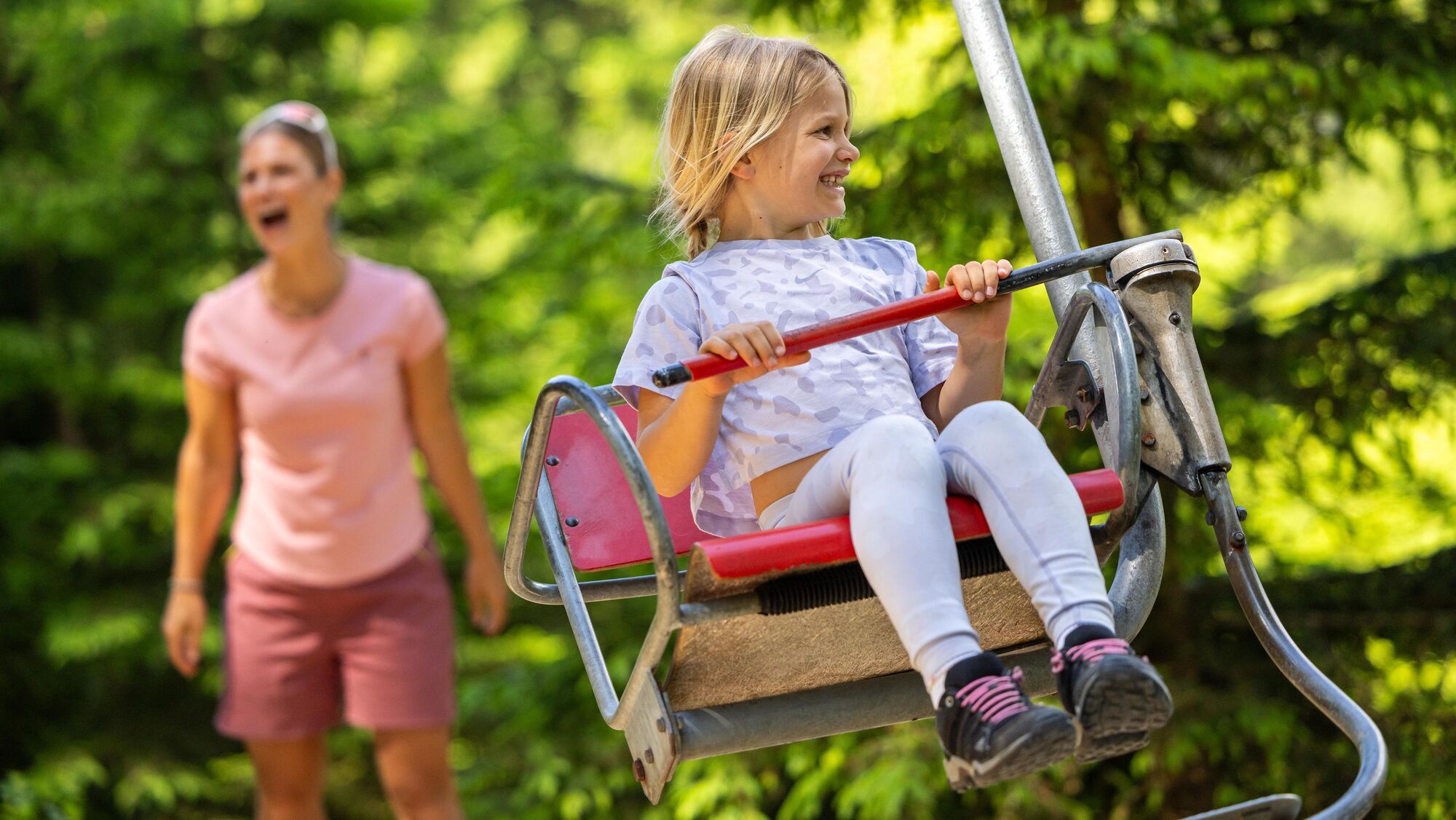
At the mountain inn but also at the Flachau tourist office you can get the colorful puzzle booklets for free to enter the solution word. You can also pick up the surprise at these locations. The homemade delicacies at the mountain inn are a must-try. Best enjoyed on the great sun terrace with a large playground.

Popularne wycieczki w okolicy
- 5,0
Großarl: Alpine pasture circuit in Ellmautal
średniWędrówka 9,69 km - 4,7
Großarl: Mooslehenalm – Niggeltalalm – Viehhausalm
średniWędrówka 5,44 km - 4,7
Ski route Lackenkogel
średniWycieczka narciarska 7,82 km - 4,2
Großarl: Unterwandalm - Karseggalm - Breitenebenalm
średniWędrówka 5,93 km - 4,8
Liechtensteinklamm mit Helix
światłoTrasa tematyczna 3 km - 4,3
Ennskraxn (2410m)
ciężkiWędrówka 14,7 km - 4,8
Grossarl: Gründegg
średniWędrówka 9,58 km - 4,3
Ski tour Red 8er Wagrain
średniWycieczka narciarska 4,12 km - 5,0
Strimskogel-Runde
Wędrówka 13 km - 3,6
Salzburger Gipfelspiel: To the Gerzkopf and the Schwarzen Lacke
średniWędrówka 8,39 km
Wędrówki i tropienie


Nie przegap ofert i inspiracji na następne wakacje
Twój adres e-mail została dodana do listy mailingowej.