


Agriculture thematic route
Poziom trudności: T2
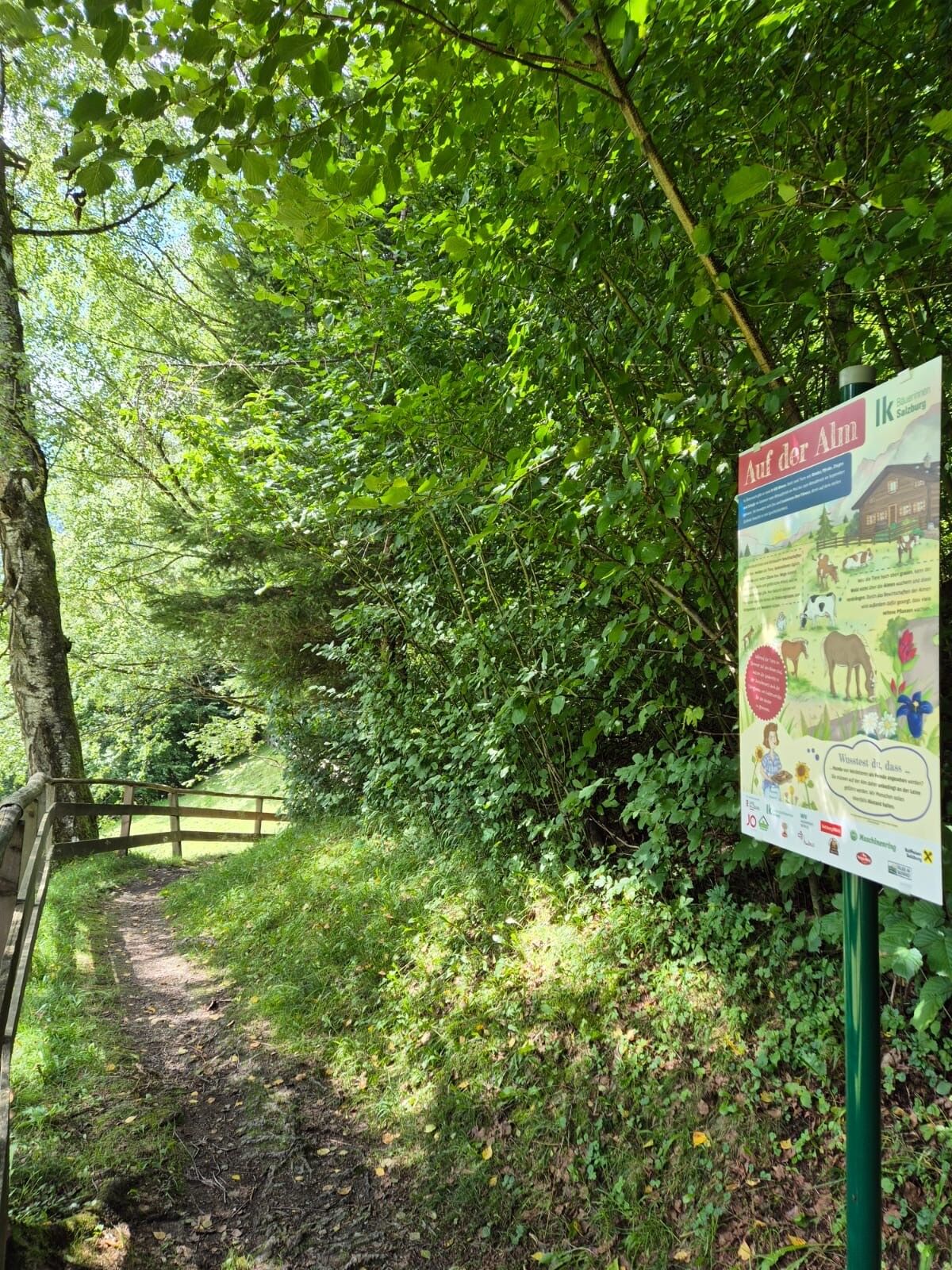
How much grass does a cow eat daily? What exactly is colostrum? And why do chickens sleep on perches?
You will find answers to these and many other fascinating questions along the informative thematic...
How much grass does a cow eat daily? What exactly is colostrum? And why do chickens sleep on perches?
You will find answers to these and many other fascinating questions along the informative thematic route of the Salzburg Chamber of Agriculture. The lovingly designed display panels invite both young and old to experience and understand agriculture up close.
Our farmers make a valuable contribution to society every day: they maintain our landscape, cultivate meadows and forests, produce high-quality food, and care for the welfare of their animals.
On the thematic route, you will learn how agriculture and nature conservation go hand in hand. The illustrative panels provide authentic insights into farm life, explain animal-friendly husbandry, and show how much knowledge and responsibility underlie the daily work on the farm.
Join us on a journey through the world of agriculture – informative, regional, and sustainable!

From the tax office in the city center of St. Johann, take Hans-Kappacher-Straße, then turn right onto Färbergasse, and then take the small street opposite, following the signage for the agriculture thematic route. The street leads to a marked path which you follow gently uphill. The information panels explain various aspects of agriculture. After about 1.4 km, you reach the highest point before gently descending again towards Wagrainer Ache. Follow this path to the intersection with Färbergasse, then take Färbergasse uphill until you return to the starting point.
Tak
T2
Kamery internetowe z trasy
-
Gernkogel - Alpendorf St. Johann
-
St. Johann-Alpendorf
-
St.Johann-Alpendorf Gernkogel
-
Gernkogel - Alpendorf St. Johann
-
Gernkogel - Alpendorf St. Johann
-
Gernkogel - Alpendorf St. Johann
-
Gernkogel - Alpendorf St. Johann
-
Gernkogel - Alpendorf St. Johann
-
Gernkogel - Alpendorf St. Johann
-
Snow Space Salzburg - Snowpark
-
St. Johann-Alpendorf
-
St. Johann-Alpendorf
-
St. Johann-Alpendorf
-
St. Johann-Alpendorf
Popularne wycieczki w okolicy
-
4,8
Summit storming route Taghaube
ciężkiWędrówka 6,25 km -
4,9
Hochkönig - Gipfel der Gefühle - Matrashaus
ciężkiWędrówka 20,9 km -
4,7
Panorama hike to the Hochkeil
średniWędrówka 6,07 km -
3,9
To the Ostpreussenhütte
średniWędrówka 16,6 km -
3,6
Wanderung zur Ostpreußenhütte in Werfen (1.630 m)
średniWędrówka 11,2 km -
4,7
About the "Four Huts circular route" to Windraucheggalm
średniWędrówka 10,1 km -
4,2
Ennskraxn (2410m)
ciężkiWędrówka 14,7 km -
4,5
Penkkopf via Kleinarler hut from Kleinarl
średniWycieczka narciarska 4,35 km -
4,3
Wasserfallweg (UNESCO-Geopark Erz der Alpen)
światłoTrasa tematyczna 4 km -
3,0
Alpine hike to Erichhütte
światłoWędrówka 4,02 km

Wędrówki i tropienie


Nie przegap ofert i inspiracji na następne wakacje
Twój adres e-mail została dodana do listy mailingowej.