



Soil-culture-path

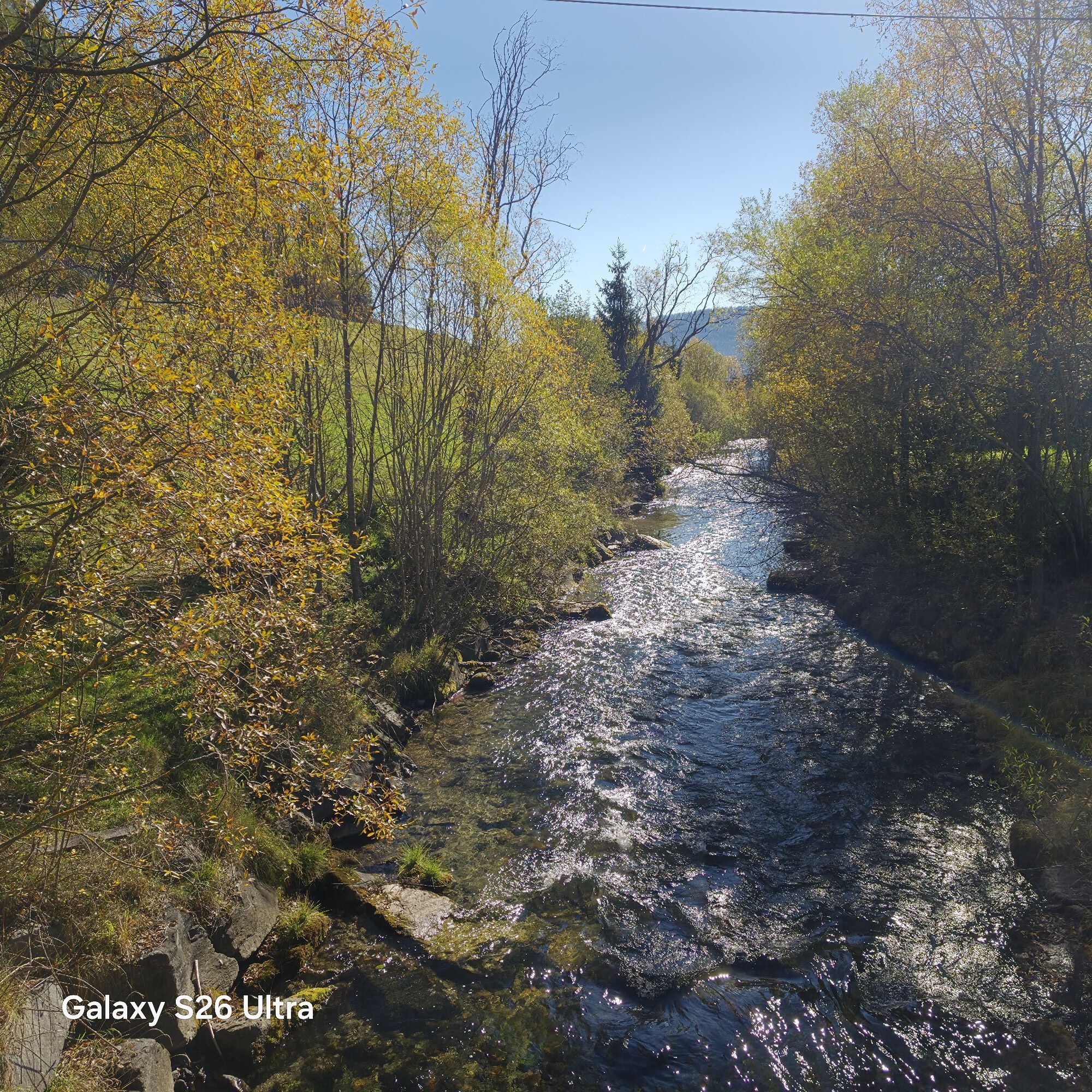
The Soil & Cultural Heritage Trail is a 6 km circular route with 11 stations.
It highlights the importance of fertile soil as the basis of life, its role in protecting water, climate, and biodiversity,...
The Soil & Cultural Heritage Trail is a 6 km circular route with 11 stations.
It highlights the importance of fertile soil as the basis of life, its role in protecting water, climate, and biodiversity, and its connection to agriculture, traditions, and culture.
Route: Starting in Mariapfarr/West, the trail leads via Schuldirektor-Noggler-Weg towards Niederrain, continues past Gasthof Häuserl im Wald to Bruckdorf, then to Nessiteich, and back via Feldgasse and Pfarrbühel to the starting point.


Kamery internetowe z trasy


Popularne wycieczki w okolicy
-
4,4
Landawirseehütte (1.985 m)
średniWędrówka 5,39 km -
4,7
Schladming - Hochgolling
ciężkiWędrówka 20,6 km -
4,2
Preber summit hike
średniWędrówka 14,9 km -
4,1
Schlögelbergrundweg Nr. 82 (Wasserweg Leisnitz)
średniWędrówka 5,15 km -
4,8
19, 97 Herzerl trail to the Gamskogelhütte
światłoTrasa tematyczna 3,83 km -
4,3
Pritzhütte
światłoWędrówka 3,38 km -
4,9
Twengsee
średniWędrówka 9,66 km -
4,6
Rundweg Aineck
średniWędrówka 14,1 km -
4,6
97 circular hike Gontalrunde, Katschberg - Gontalscharte - Gontal
Wędrówka 9,33 km -
4,5
Gr. Gurpitscheck
średniWędrówka 12,5 km
Wędrówki i tropienie


Nie przegap ofert i inspiracji na następne wakacje
Twój adres e-mail została dodana do listy mailingowej.


