



Neukirchen: Natura Trail Blausee











This very popular local recreation area was heavily affected by storms in recent years. The infrastructure (such as benches, tables, waste collection facilities, etc.) has been renewed. Further improvements...
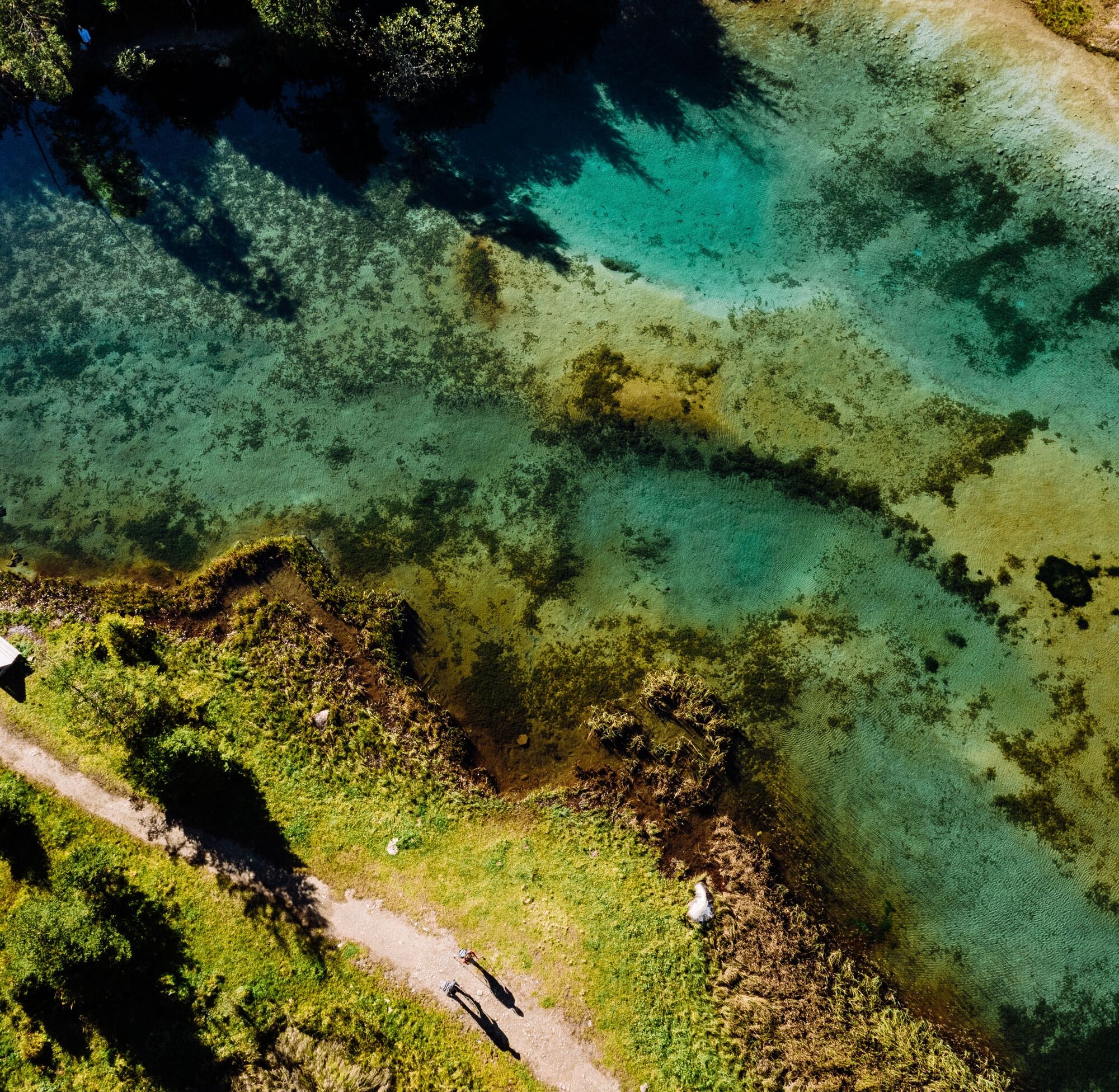
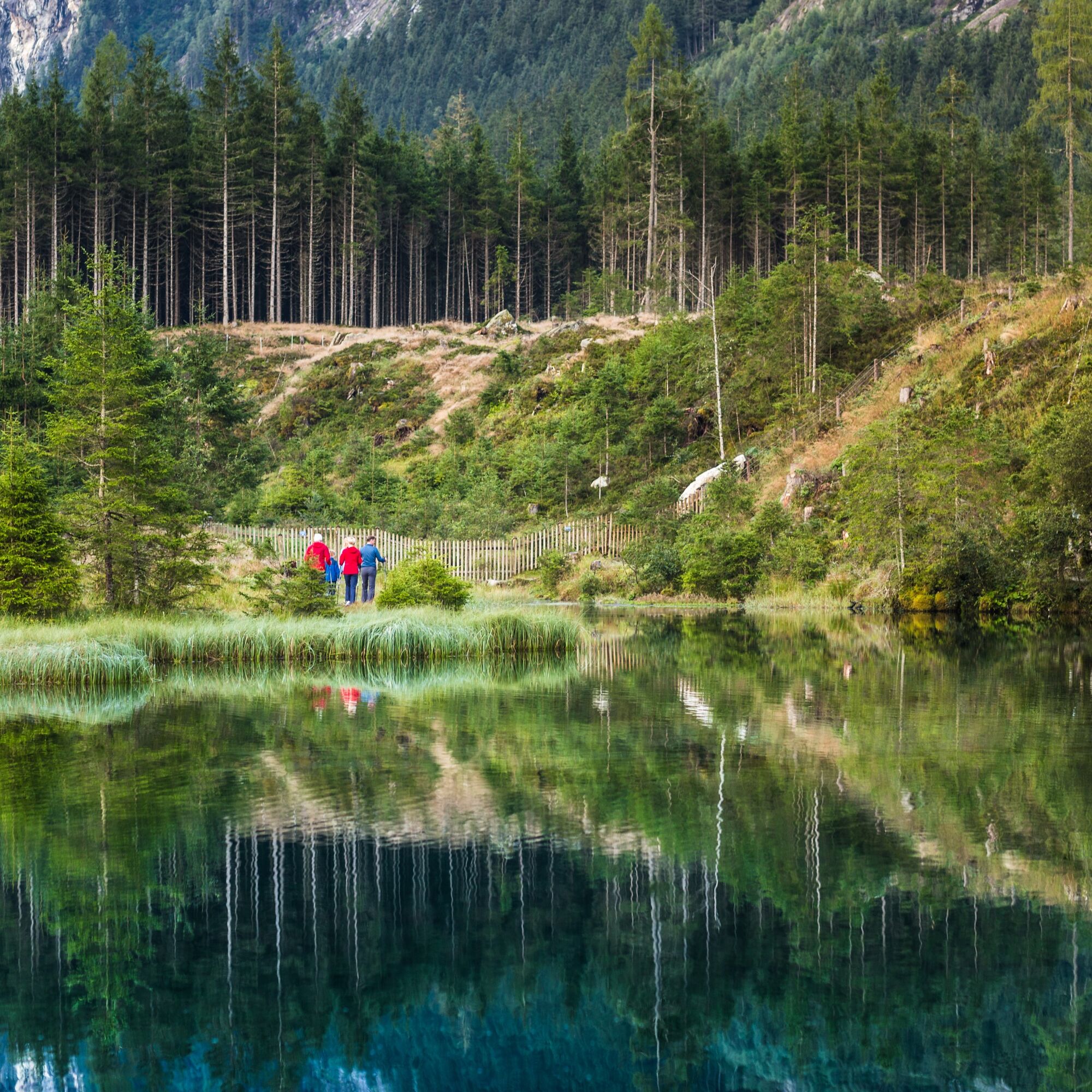
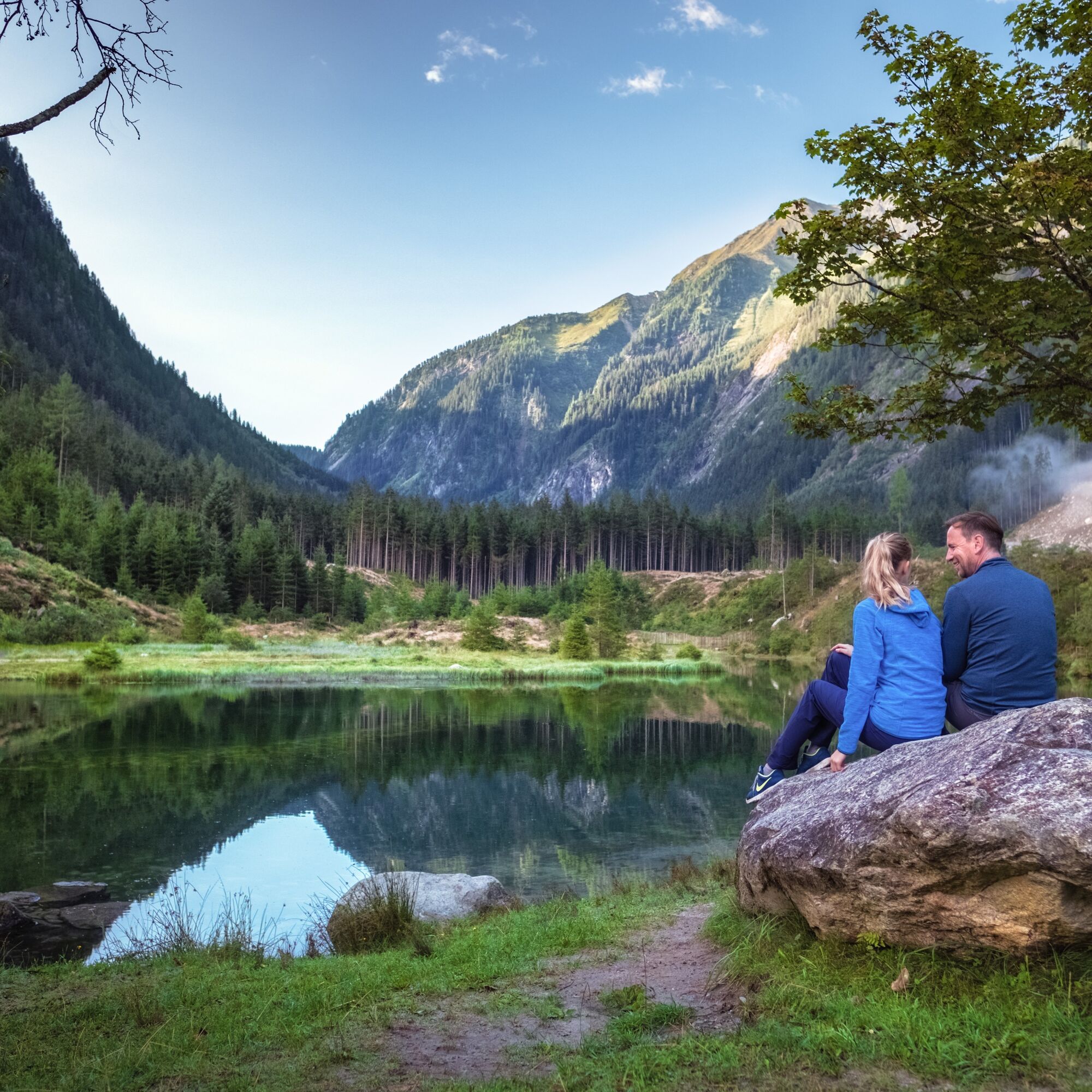
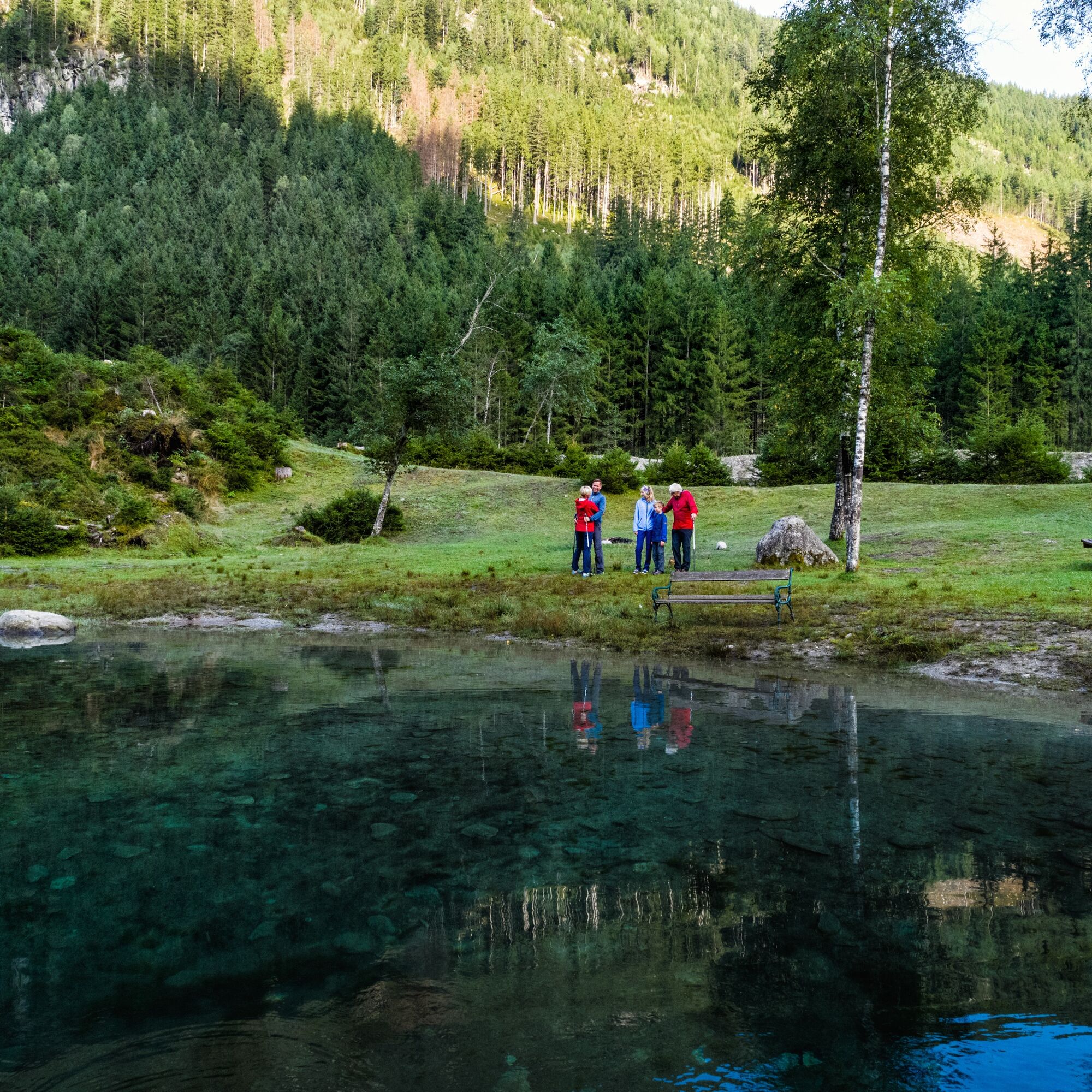
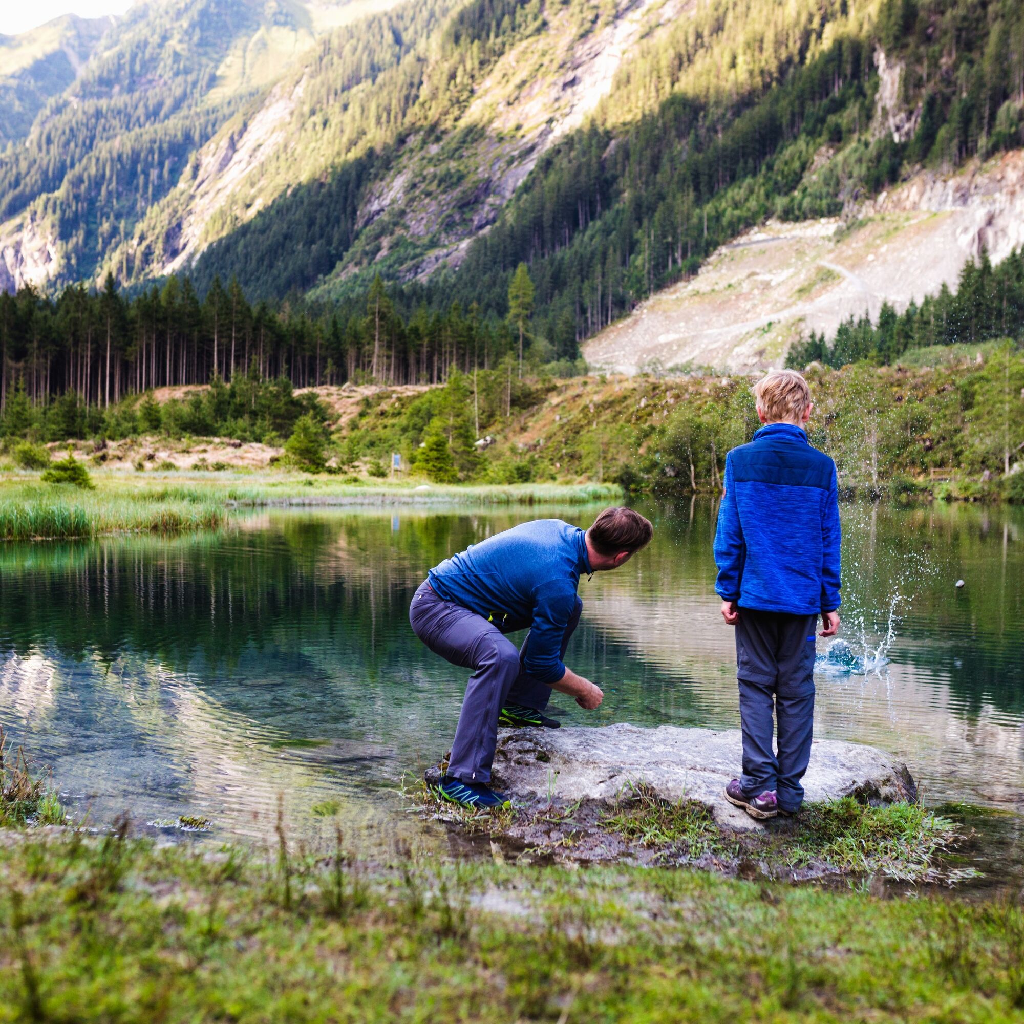
This very popular local recreation area was heavily affected by storms in recent years. The infrastructure (such as benches, tables, waste collection facilities, etc.) has been renewed. Further improvements include sensible parking regulations, free-ranging of grazing cattle in the area, and the establishment of barbecue facilities and toilets. The lake was dredged to create the necessary habitat for fish and amphibians - Blausee is known for its unique fauna and flora. The perimeter and the adjacent water area were attractively designed and equipped with information and thematic panels.
A cooperation of the market town of Neukirchen, the Neukirchen tourism association, and the national park administration made the implementation of this project possible under the leadership of Ing. Michael Steindwender from the Austrian Federal Forests within the framework of an EU Leader funding project.
We want to make this valuable natural jewel accessible to the local population and our guests in the hope that this sensitive area will be used with the necessary respect and care in the interest of nature conservation.
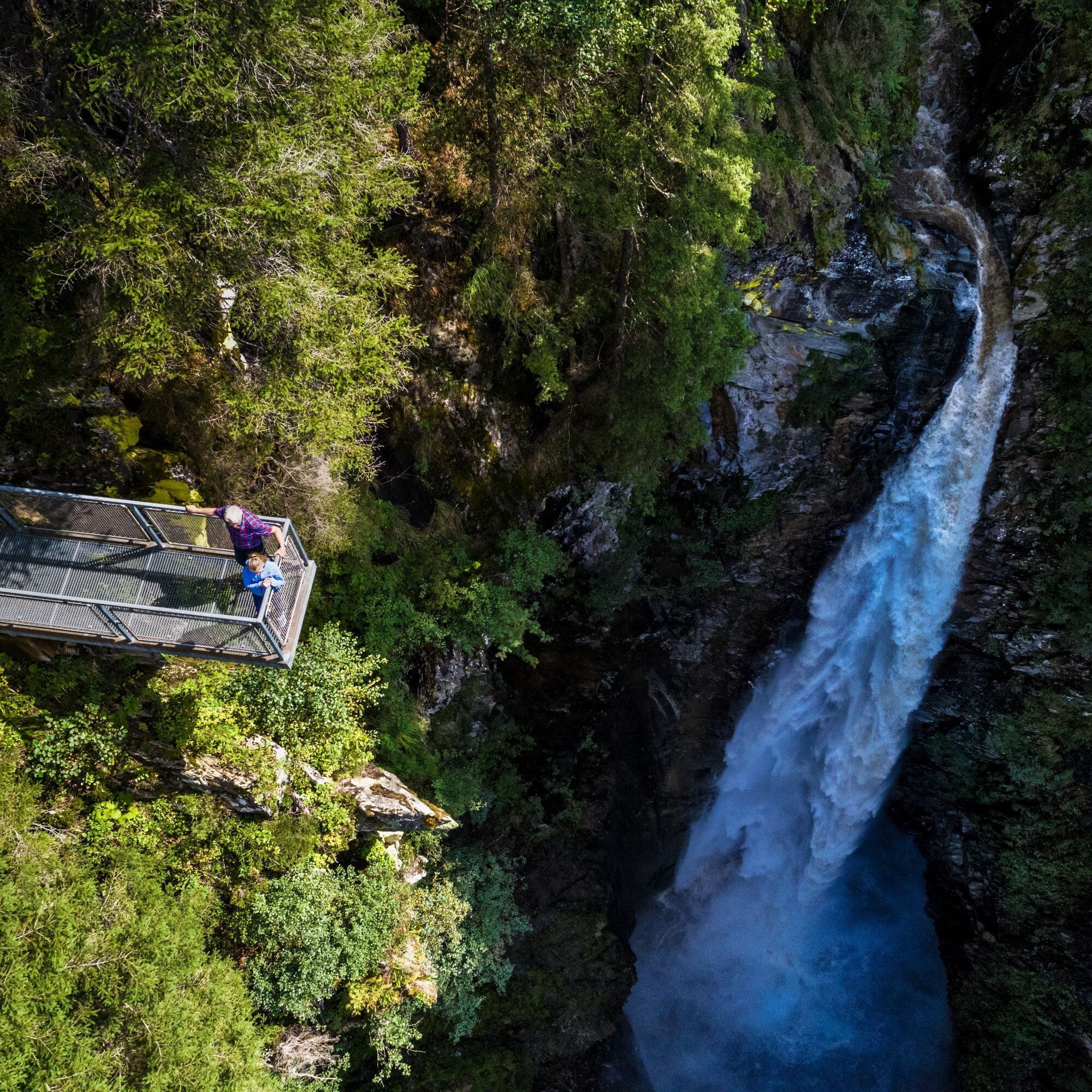
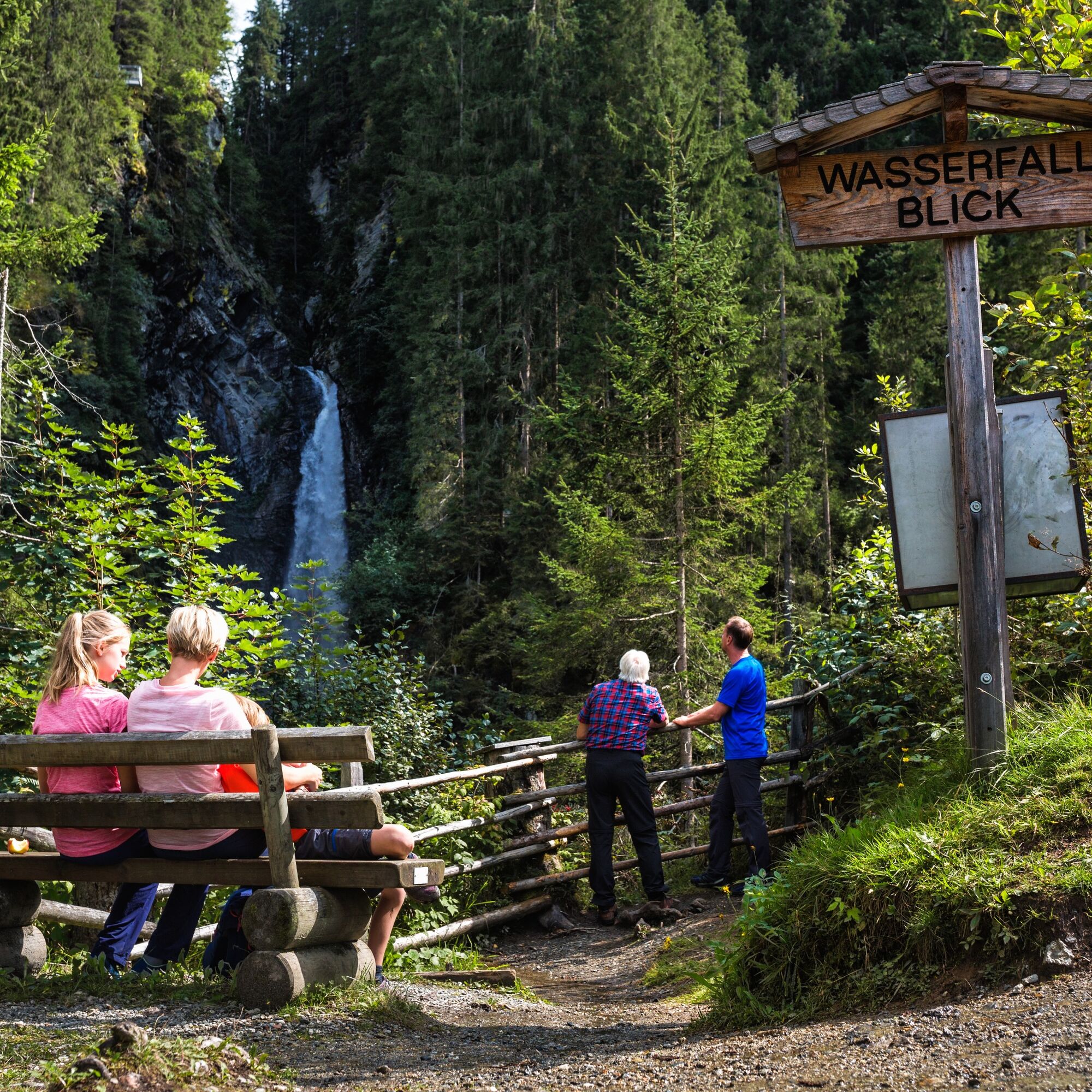

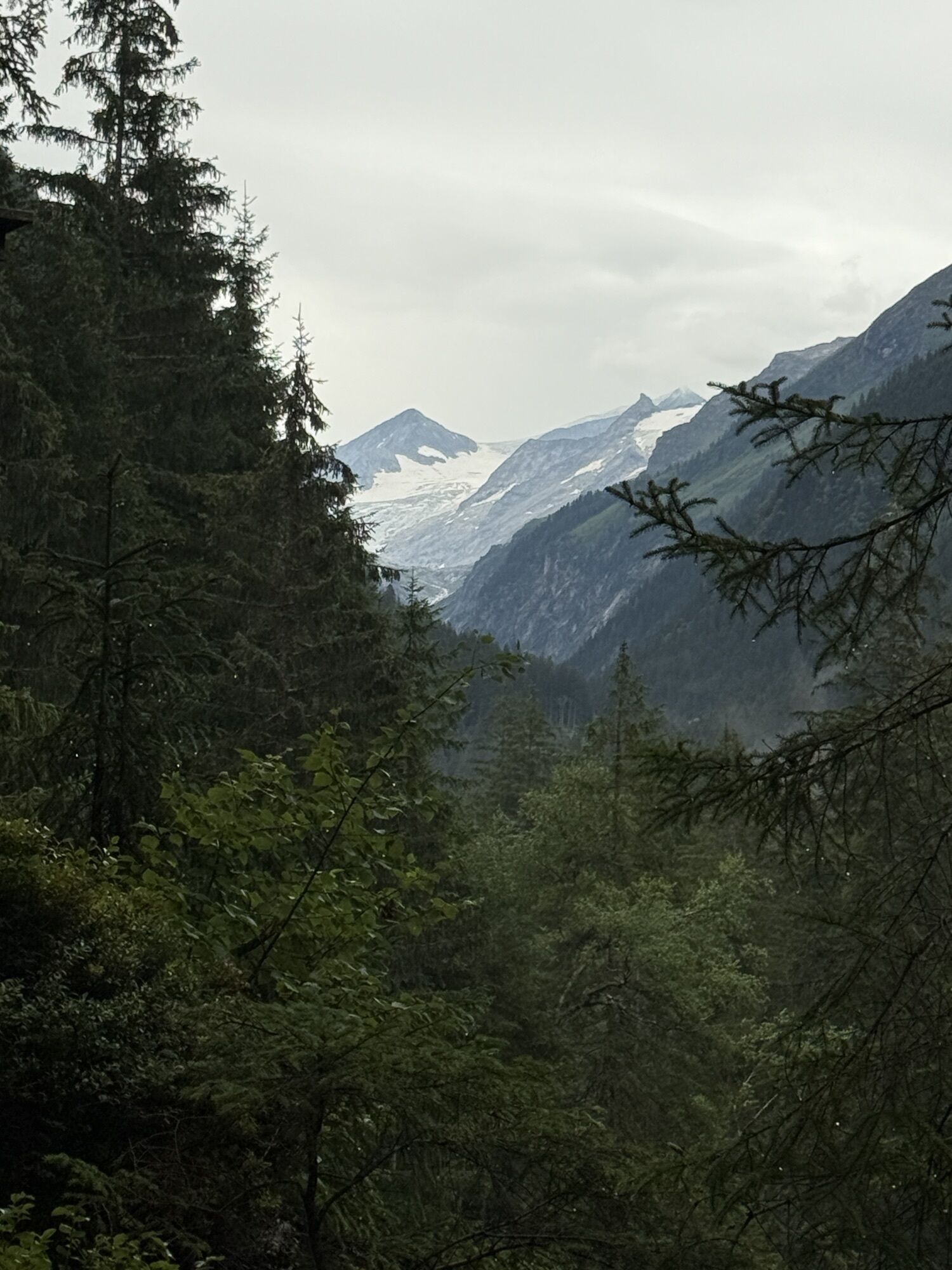
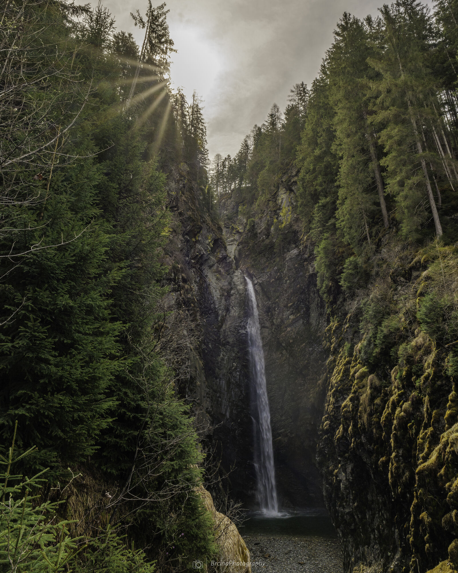
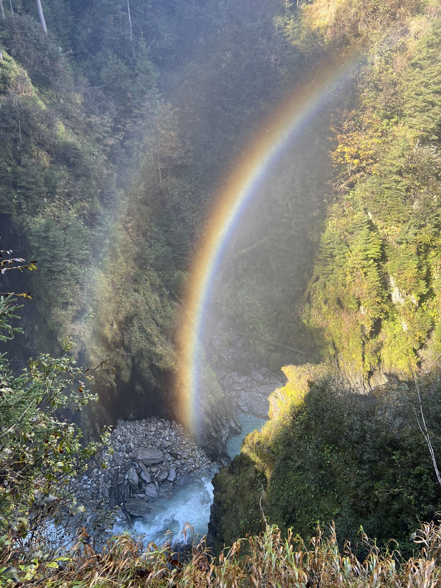
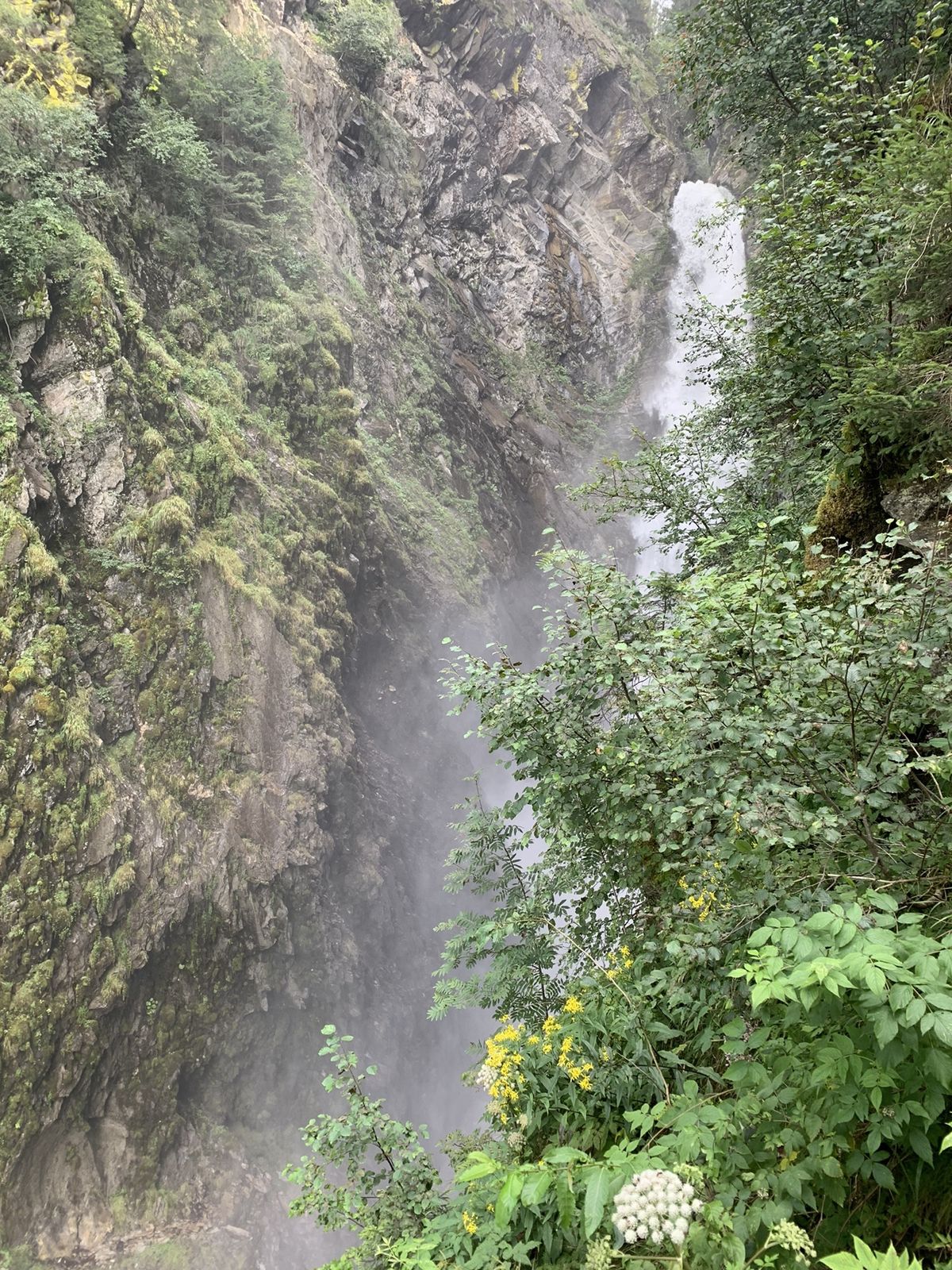
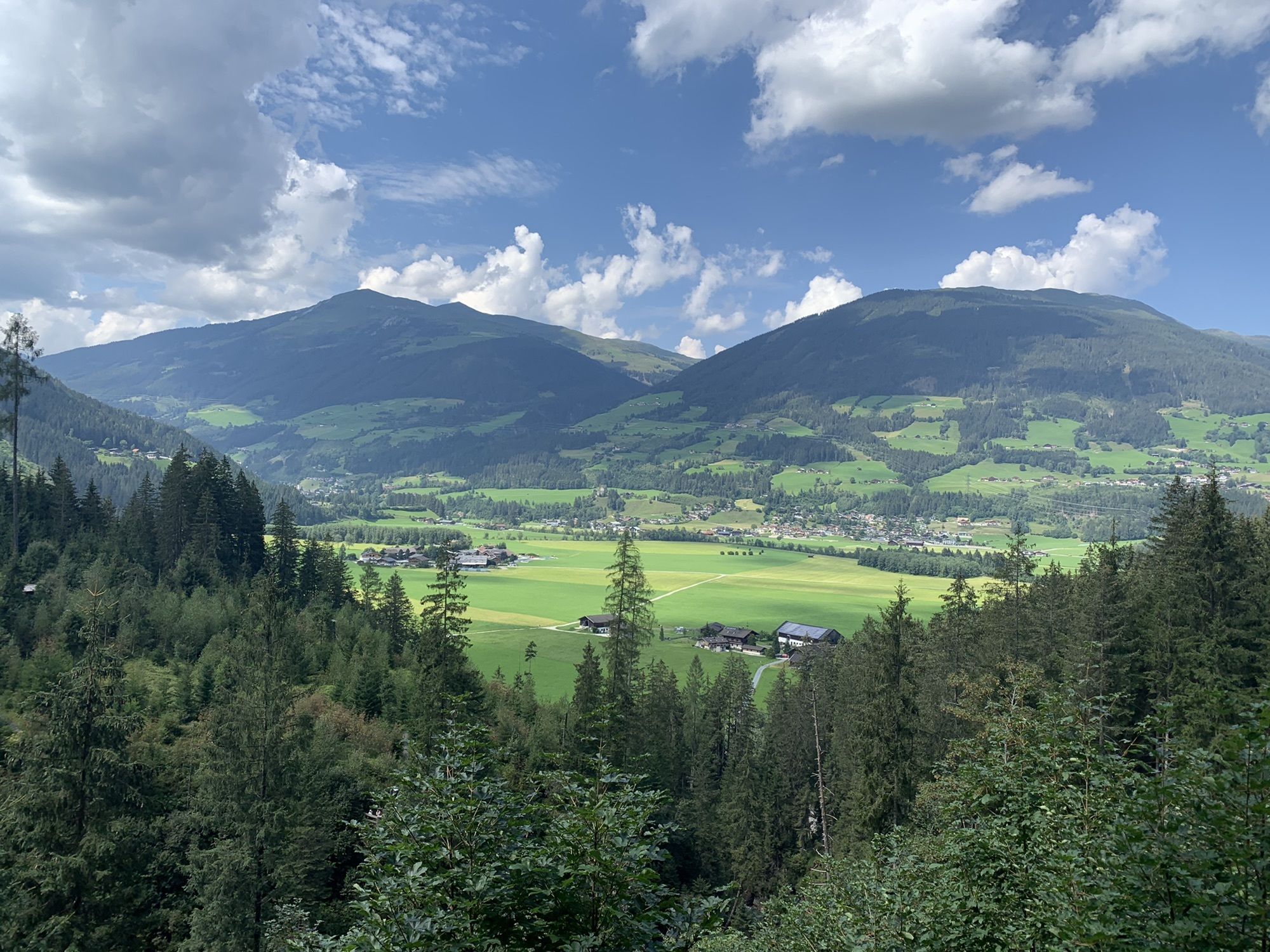
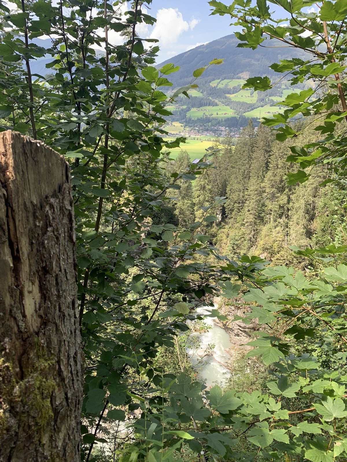
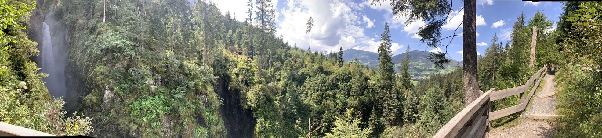
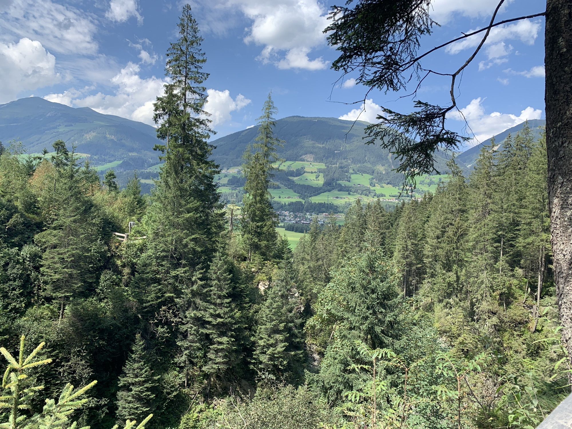
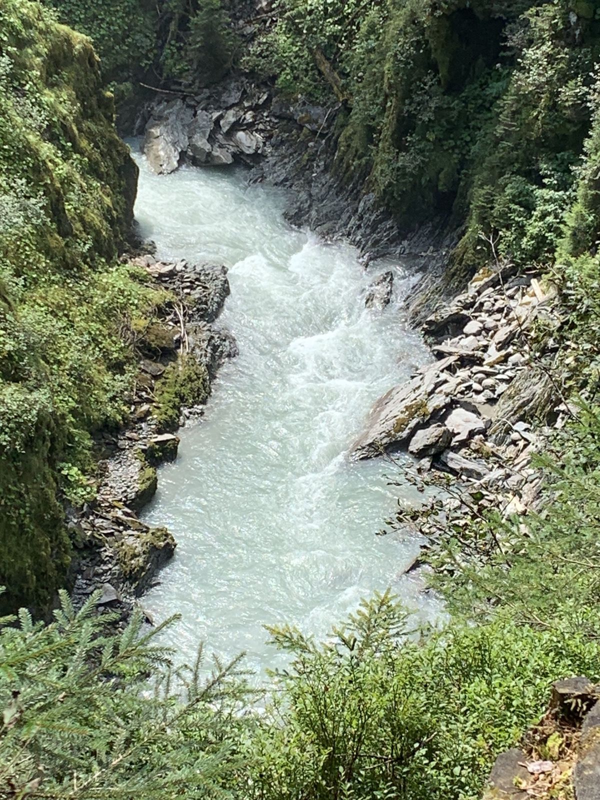
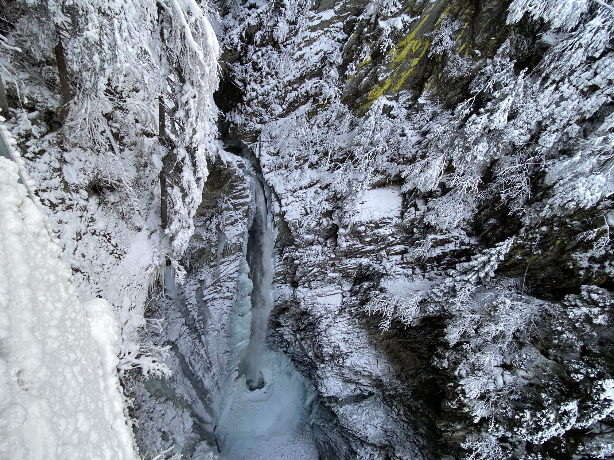
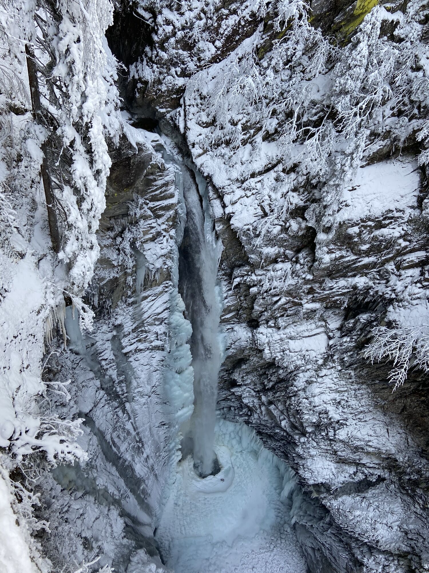
Description: From the bus stop, follow the road towards Sulzau, where at the first opportunity turn left, passing the Dürnbach, to reach Sulzau. After crossing the tracks, continue on the path towards Schiedhof (or Schütthof) and Untersulzbachfall (follow signs). Past the Schütthof guesthouse, you will arrive at the start of the circular route around the Sulzbachfall. We start the circular route on the left and hike over a small bridge into the forest. Repeatedly, viewpoints offer an impressive view into the gorge of the Untersulzbach and on the rock walls where the yellow lichen can be discovered.
At the waterfall go a bit uphill to the next junction, where you go down right over a bridge back. Those who wish can continue to the Hochfeld show mine. Upon reaching the starting point of the path, return to the Schütthof, where you then take the narrow path on the left, passing between farms over the meadow towards Blausee.
Once back on the paved road, continue left on Mitterweg. Along the road you will reach the Siggen guesthouse. Continue straight ahead to the forest road, follow this to the next junction, and then on the descending path to Blausee. Upon arrival, benches and tables invite you to rest. Around Blausee, a path with display panels has been laid out, providing information about the natural features. Return initially by the same path until after the Siggen guesthouse you turn left and cross the Obersulzbach. From here, a forest path leads through the woods. After crossing the river, it is only a few meters to the village. The bus stop is located in the village center. Those who wish can shorten the route and take the road to Rosental at the Siggen guesthouse.
Tak
Tak
Comfortable hiking or casual wear with sturdy footwear, water bottle
Do not leave marked hiking trails - dogs must be on a leash!
Take the B 165 exit towards the Sulzau district and after the Salzach bridge turn left towards the Schütthof guesthouse.
Paid parking available on site.
Wildkogel-Arena
Tourist offices Neukirchen & Bramberg
Tel. +43 (0) 720 710 730 info@wildkogel-arena.at
Kamery internetowe z trasy

Popularne wycieczki w okolicy
-
4,3
Gerlos: Stausee Rundwanderung
średniWędrówka 12,5 km -
4,8
Zittauer Hut
średniWędrówka 6,85 km -
3,7
Smaragdwanderweg Habachtal/Bramberg
światłoWędrówka 7,17 km -
4,4
Krimml Waterfall Path - Panorama Viewing Path
średniWędrówka 5,71 km -
4,4
Krimmler Tauernhaus
średniWędrówka 10,4 km -
4,6
Kröndlhorn (2.444m)
ciężkiWędrówka 13,5 km -
4,7
Hollersbach - Neue Fürther Hütte
Wędrówka 16,0 km -
4,9
Krimmler Achental
średniE-Bike 18,4 km -
4,6
Krimmlerwasserfälle
średniWędrówka 10,5 km -
4,3
Route 208: Windautal - Rotwandalm/Filzenscharte
ciężkiMountainbike 22,8 km
Wędrówki i tropienie


Nie przegap ofert i inspiracji na następne wakacje
Twój adres e-mail została dodana do listy mailingowej.


