


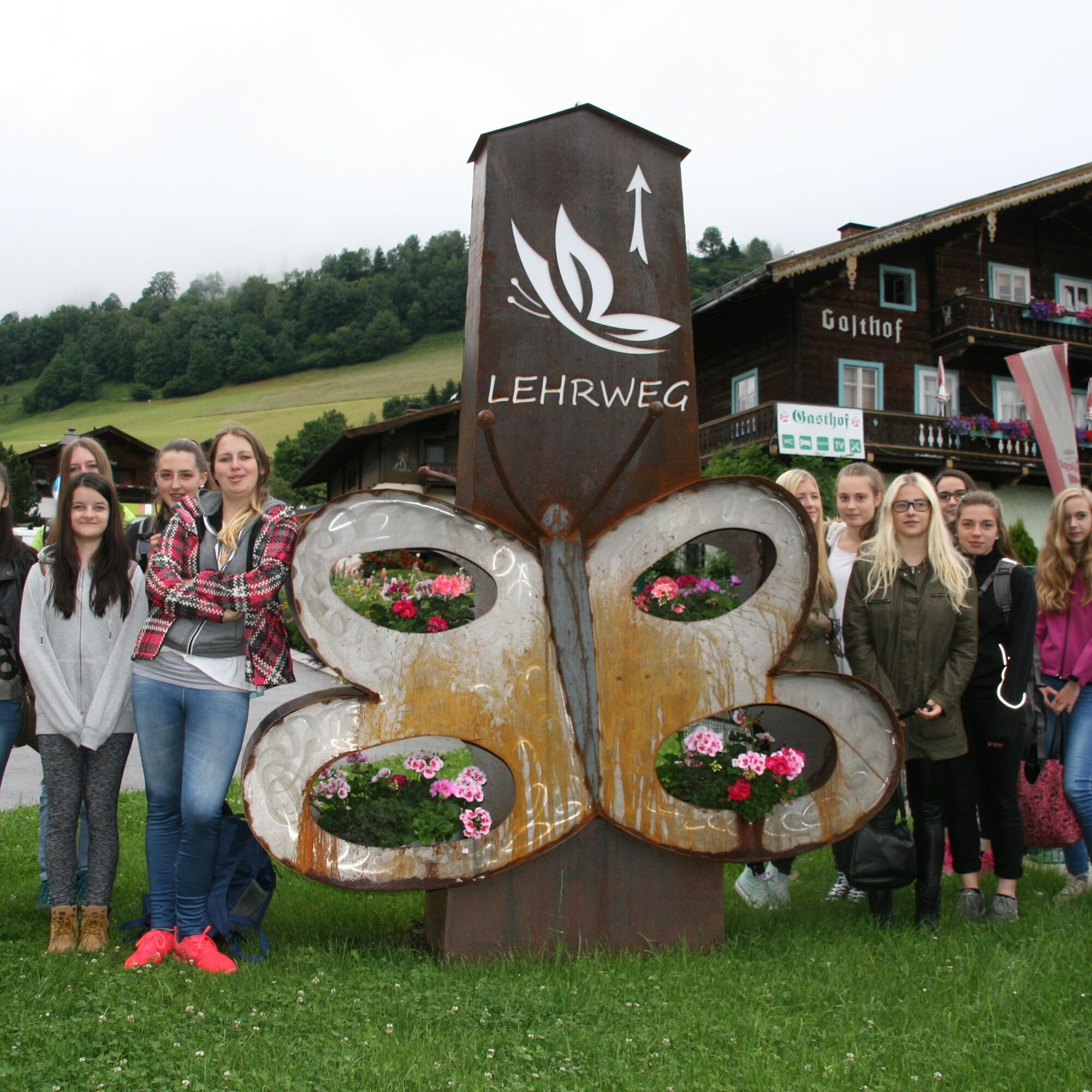
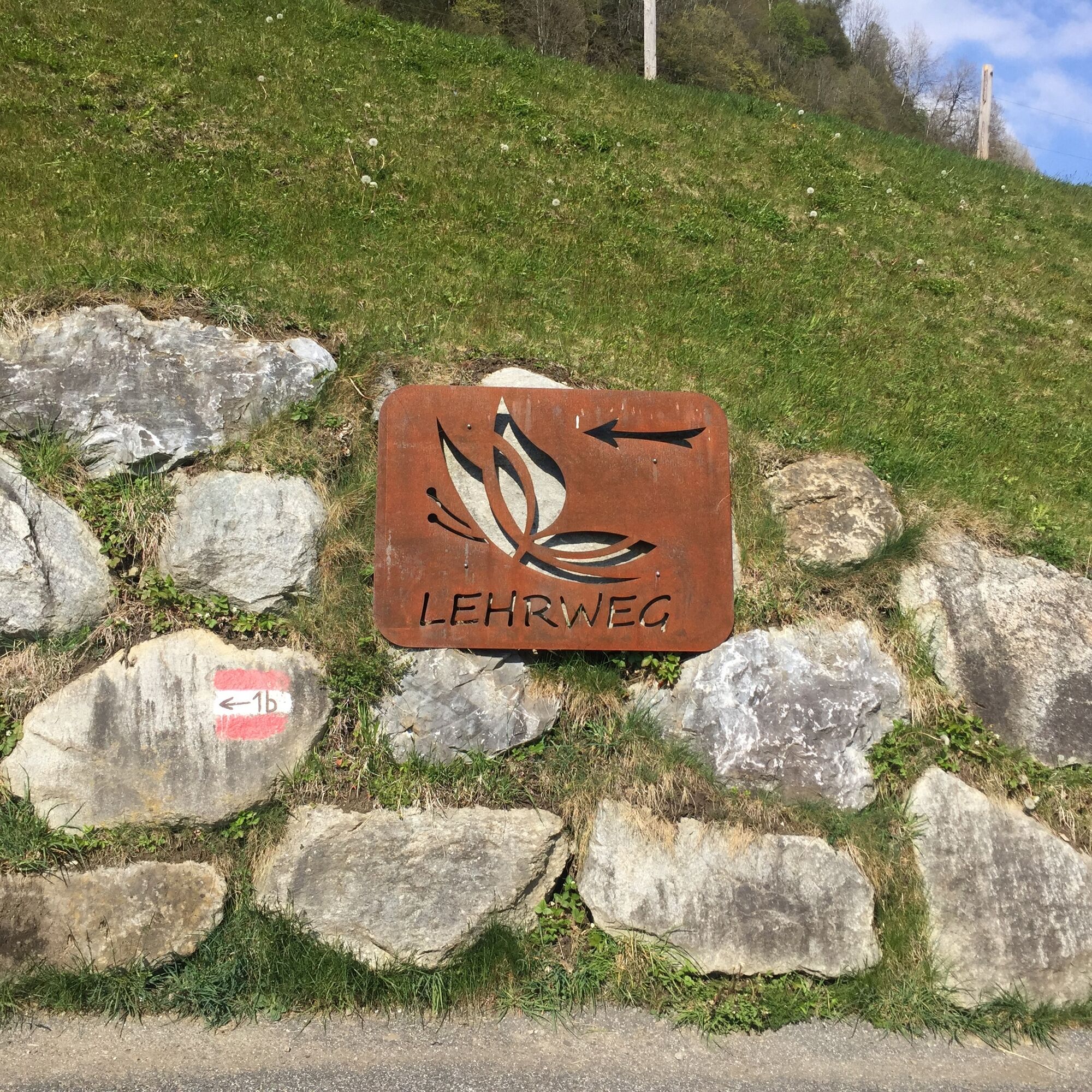
Uttendorf/Weißsee: Butterfly Educational Trail
"Experience nature" – according to this motto, the butterfly educational trail was created. Nationwide in Austria, this path is a novelty, providing nature lovers with a very informative insight into the...
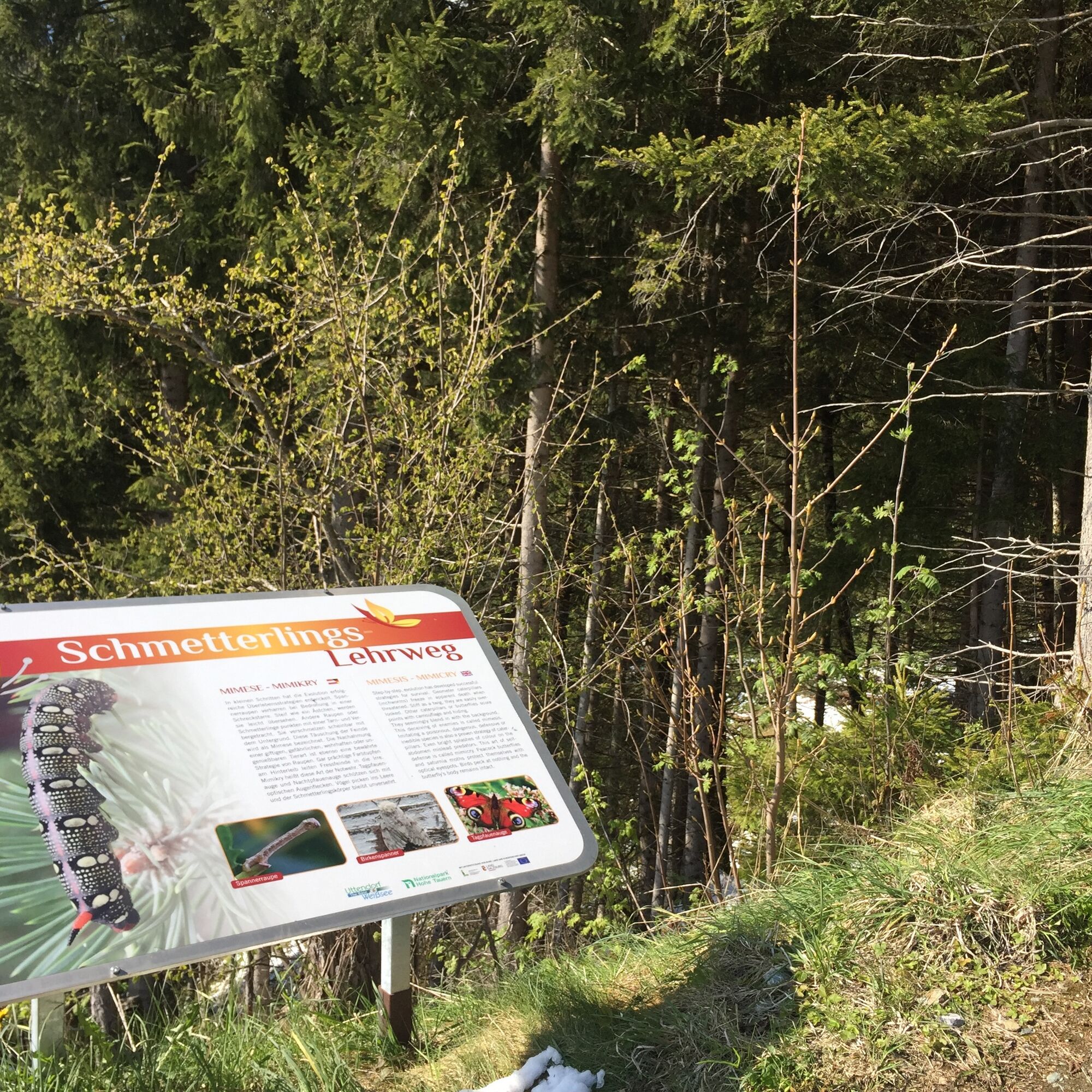
"Experience nature" – according to this motto, the butterfly educational trail was created. Nationwide in Austria, this path is a novelty, providing nature lovers with a very informative insight into the world of butterflies and can be well connected as a feeder trail for hikers with the Celtic village at Steinerbichl. The educational trail is harmoniously integrated into the existing landscape and appeals equally to families with children, walkers, school and youth groups as well as tourists and locals alike. The text panels on site, with attractive graphic design, offer optimal knowledge transfer.

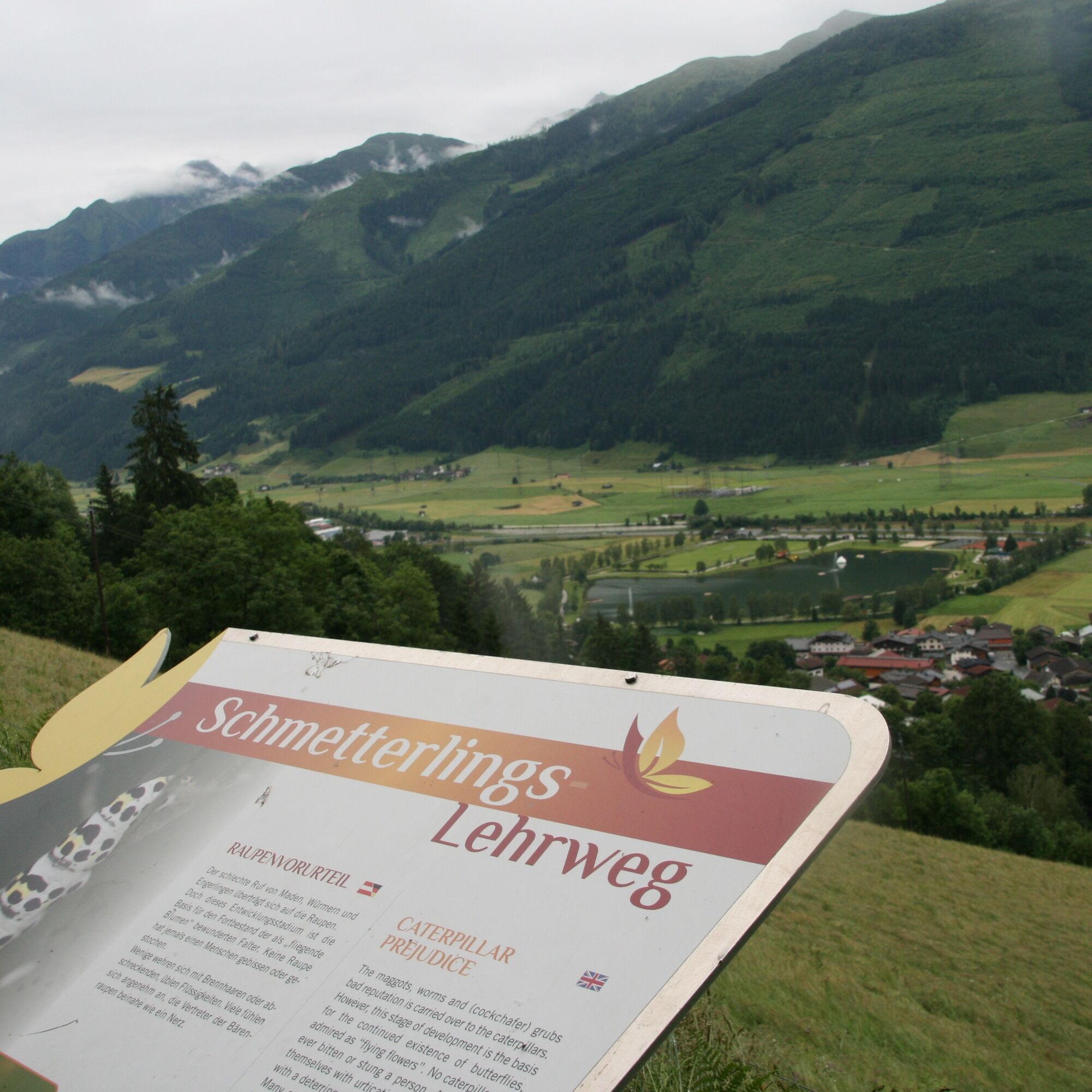
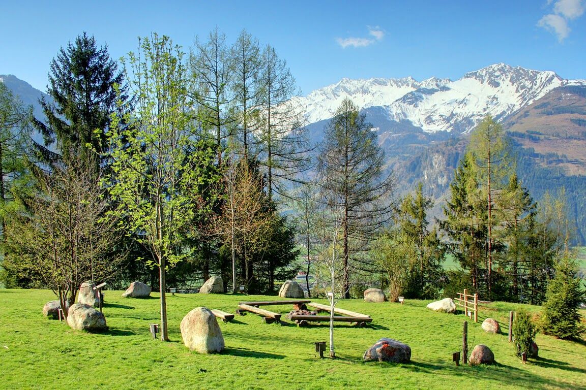
After the first information board, you cross a dry slope where a warmth-loving flora and insect world can be admired. On this meadow, children and parents can observe the colorful butterflies - for example Apollo, Mourning Cloak, or Swallowtail. The butterfly trail continues over wooden stairs to the shady Steinergraben. Seating areas invite you to linger and enjoy nature here.
Then you hike through the marshy alder grove, botanically distinguished by rare mosses and ferns. You pass the Devil's Stones, glacial erratics from the Ice Age. The last part of the hike leads past the forest edge and meadow orchards until, after an elevation change of 300 m, you reach the endpoint, the Alpengasthof Liebenberg. On the return, you can either take the same route or the paved Sonnbergstraße.
Tak
Good footwear and hiking-appropriate clothing are recommended for the hike on the butterfly educational trail in Uttendorf.
You can drive by car on the B168 to Uttendorf and then turn directly into the village to start the hike.
You can take the Öbb bus (Bus 670) directly to the village and walk about 2 minutes to the tourist office, which is the starting point of the hike.
The train (R 3310) stops a bit further down, but you are still within a very short time at the starting point of the hike.
Municipal parking lot & parking lot opposite the community center
Educational trail brochures are available at the Tourism Association
Read the 13 display panels carefully.
A detour to the Celtic village at Steinerbichl, an archaeological site of supra-regional importance, is also recommended.
Popularne wycieczki w okolicy
- 4,8
Sigmund Thun Klamm, Klammsee, Bürgkogel
światłoWędrówka 4,56 km - 4,0
Maurerkogel (Top)
Wędrówka 10,5 km - 4,9
Hochsonnberg Runde
średniMountainbike 59,8 km - 4,4
Sigmund Thun Klamm
światłoWędrówka 3,10 km - 5,0
Panorama route 3 peaks and 2 lakes
średniWędrówka 7,21 km - 4,8
Hollersbach - Neue Fürther Hütte
Wędrówka 16,0 km - 3,8
Mittersill - Hintersee und Plattachsee
ciężkiWędrówka 9,90 km - 4,7
Tristkogel
ciężkiWędrówka 15,6 km - 3,9
Hollersbach: Pihapper Wegnr. 935
ciężkiWędrówka 12,8 km - 5,0
10D Hochsonnbergrunde
średniMountainbike 26,4 km
Wędrówki i tropienie


Nie przegap ofert i inspiracji na następne wakacje
Twój adres e-mail została dodana do listy mailingowej.