






Skiing tour Schwaigalm via forest road
The start of this beginner route is the Vierthal Mühle parking lot in Neuberg. From the parking lot, follow the course of the forest road (not groomed) towards Schwaigalm. Descent is possible via forest...
The start of this beginner route is the Vierthal Mühle parking lot in Neuberg. From the parking lot, follow the course of the forest road (not groomed) towards Schwaigalm. Descent is possible via forest road or piste (if descending via piste, you will not return to the starting point).

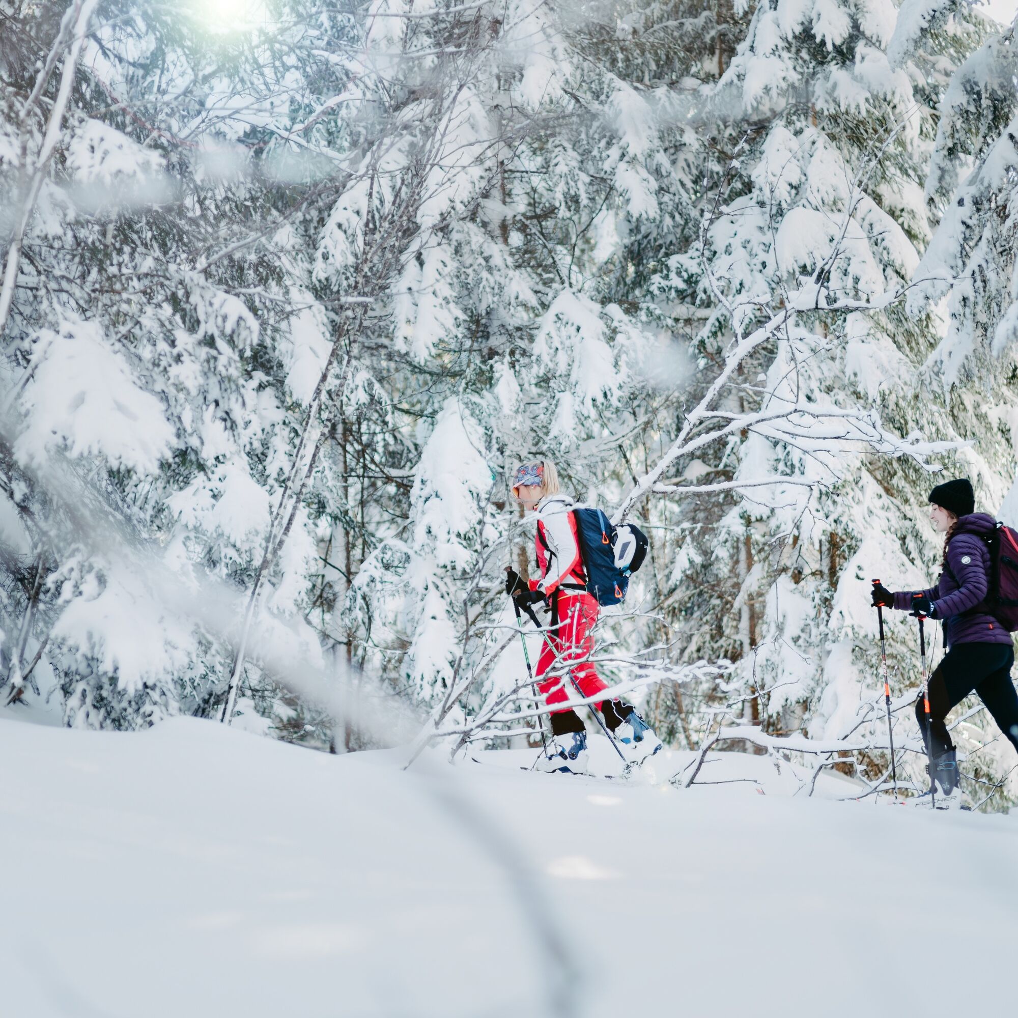

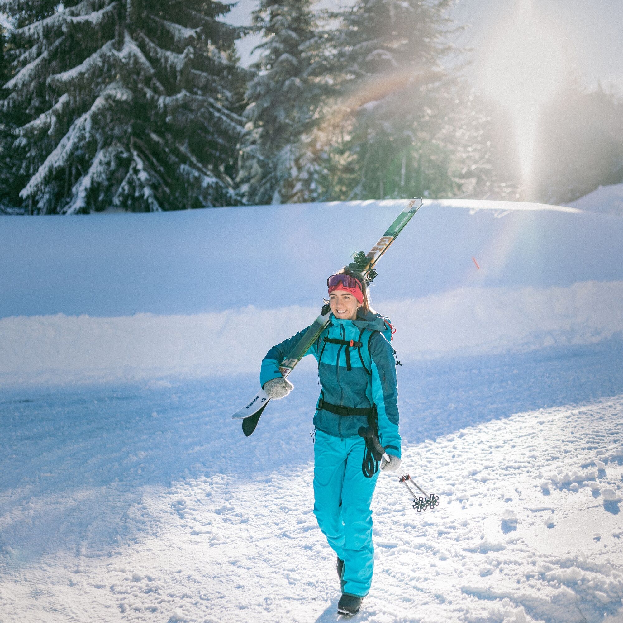
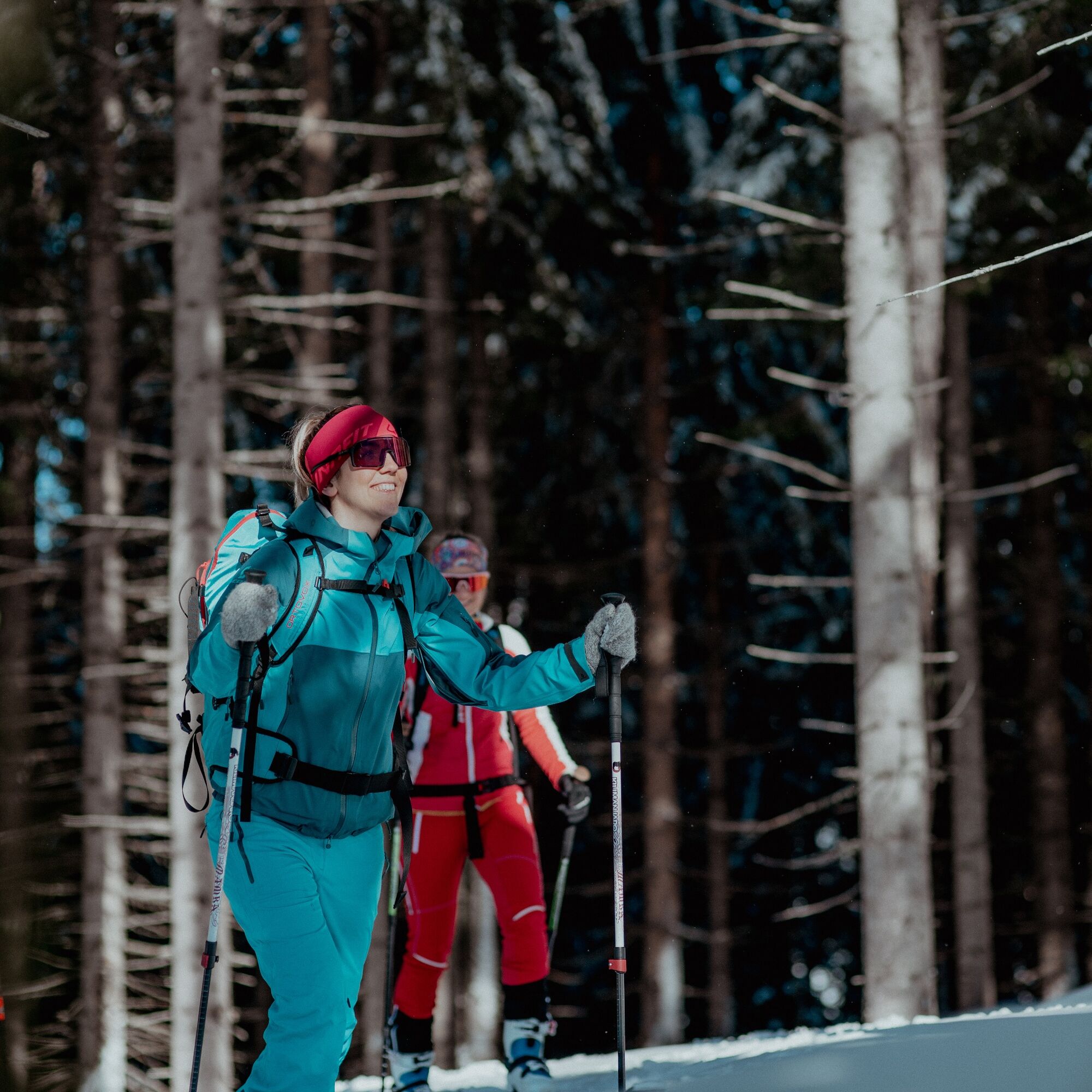

The start of this beginner route is the Vierthal Mühle parking lot in Neuberg. From the parking lot, follow the course of the forest road (not groomed) towards Schwaigalm. Descent is possible via forest road or piste (if descending via piste, you will not return to the starting point).
Tak
It is reckless to go on a route without proper preparation and equipment. Not only is your own life carelessly risked, but also that of your mountain companions traveling in the same region.
Must be carried on the route: avalanche transceiver, mobile phone, shovel, avalanche probe, first aid kit, sufficient food and drinks, possibly additional clothing to change.
On the day of the route: read the avalanche report and weather report and check what impact they have on the planned route – possibly adjust or cancel the route. Are all participants physically and health-wise able to do the route? If not, adjust or cancel the route.
Read the avalanche report!
All information has been compiled with the greatest care. Use is solely at your own risk and responsibility.
No liability is assumed for any accidents or damages of any kind.
Via A10 Tauern motorway – exit Eben im Pongau – continue on the Filzmoos state road to the Neuberg junction – continue to the Knabl junction – turn right here, go straight on to the Vierthal Mühle parking lot.
Fidibus Winter to the Knabl junction stop (then continue on foot to the starting point Vierthal Mühle).
Parking possibility at Vierthal Mühle.
Descent options via pistes Schwaigalm or Geierberg or via forest road.

Kamery internetowe z trasy
Uzyskaj wgląd
Zawsze na żywo z ponad 9 500 kamer internetowych. bergfex Jako użytkownik Pro, możesz teraz zobaczyć odpowiednie kamery internetowe dla wielu wycieczek w aplikacji wycieczki od. Pozwala to na bezpośredni podgląd aktualnych warunków.

Popularne wycieczki w okolicy
-
4,3
Filzmoos: Rötelstein (Rettenstein)
Wędrówka 9,50 km -
4,8
Tour around the Gosaukamm
średniWędrówka 20,9 km -
4,5
Ramsau am Dachstein: Steinerne Jungfrauen
Wędrówka 8,11 km -
4,8
4-Jahreszeiten Wanderweg
średniWędrówka zimą 5,94 km -
4,7
Tour around the Lake Gosau
światłoWędrówka 4,43 km -
4,7
Tor-Wanderung
ciężkiWędrówka 14,2 km -
4,6
Ski route Lackenkogel
średniWycieczka narciarska 7,82 km -
4,5
Adamekhütte vom Vorderen Gosausee
średniWędrówka 23,2 km -
4,7
Reiteralmrunde
światłoWędrówka 5,71 km -
4,6
Bachlalm-Murmeltiere Rundwanderweg
światłoWędrówka 10,2 km
Wędrówki i tropienie


Nie przegap ofert i inspiracji na następne wakacje
Twój adres e-mail została dodana do listy mailingowej.





