







Ski tour to the Spielberg (Gaissau-Hintersee)

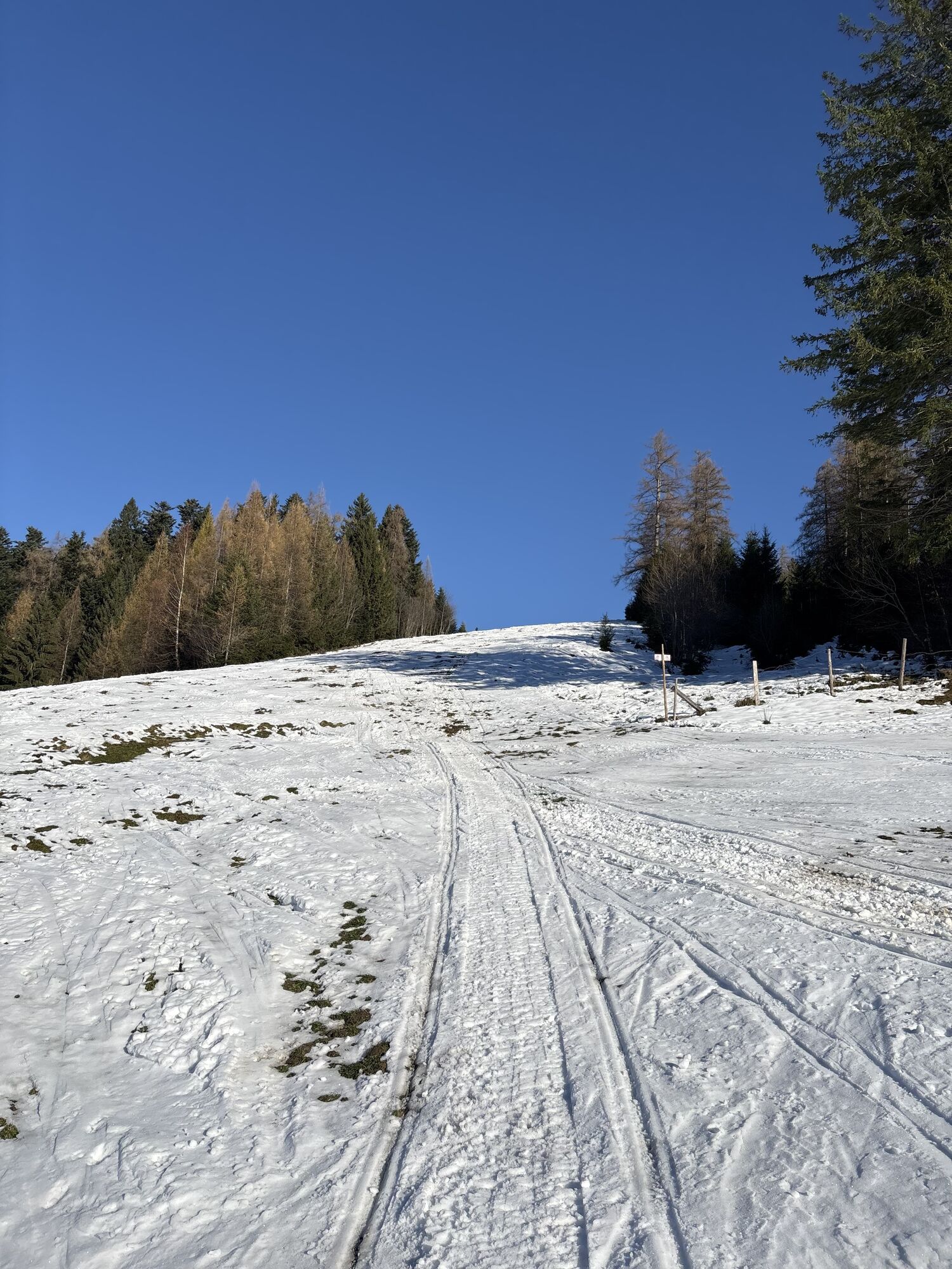
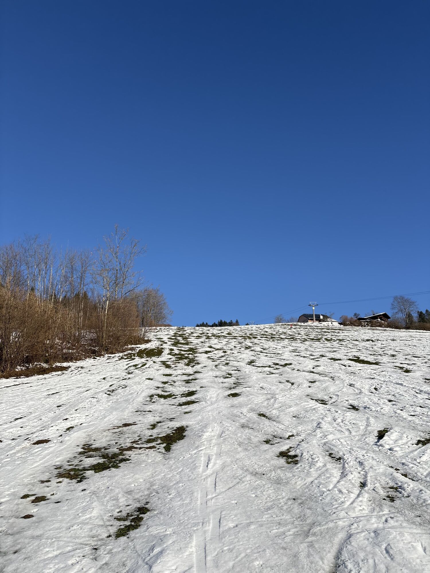
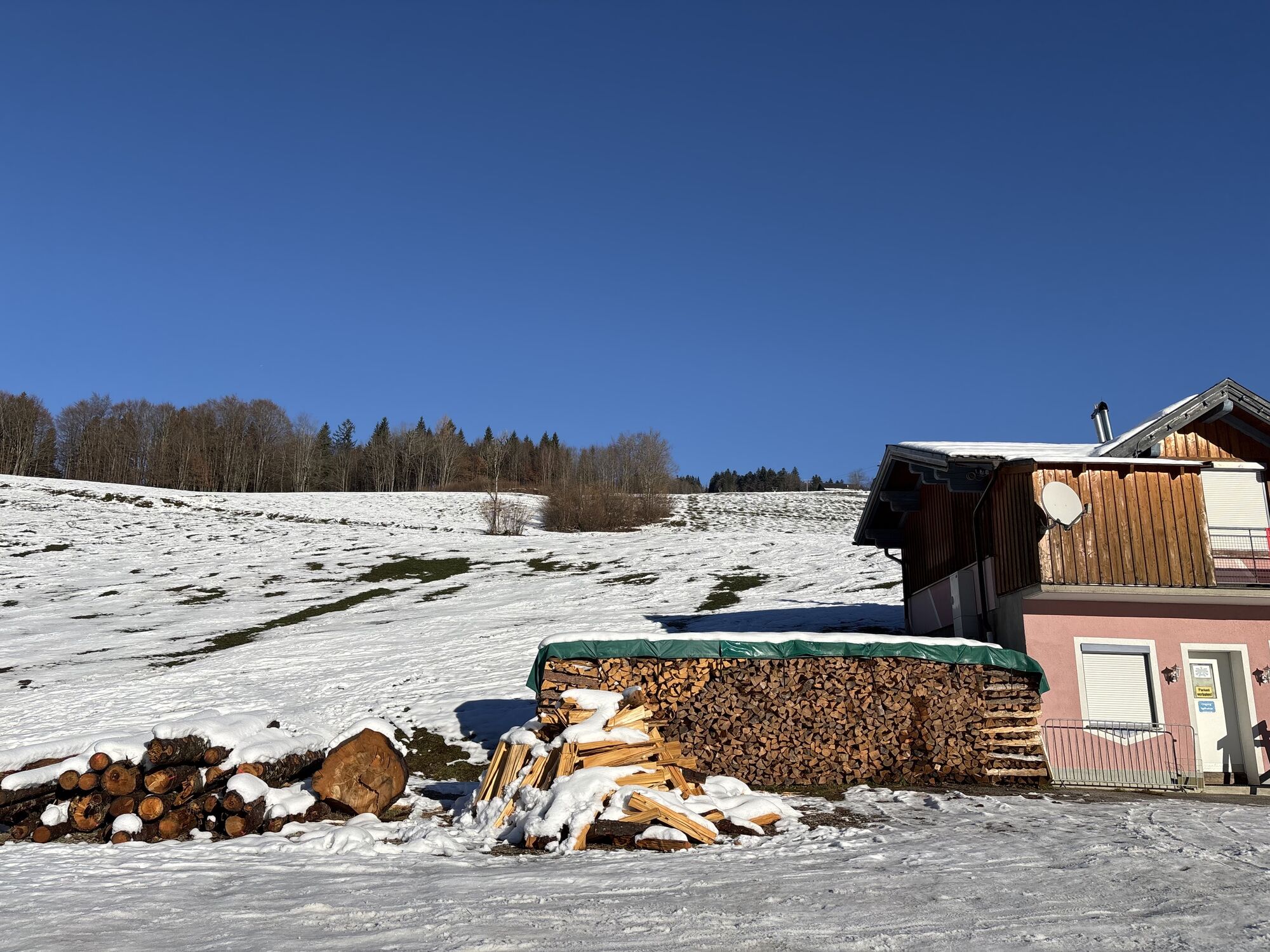
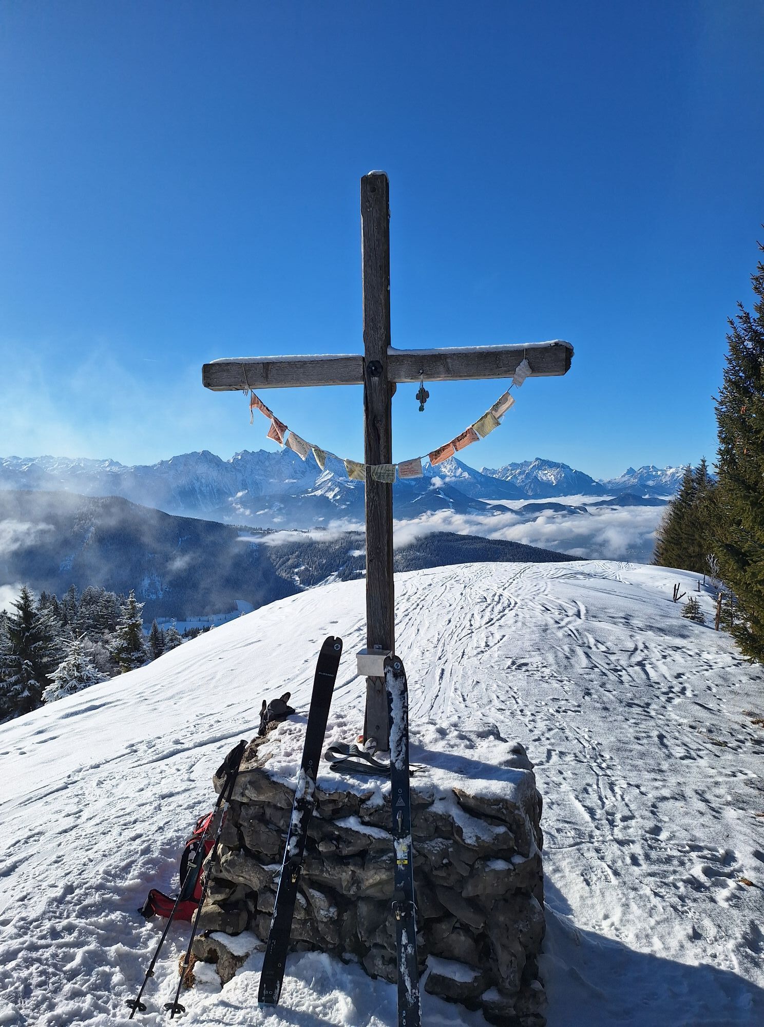
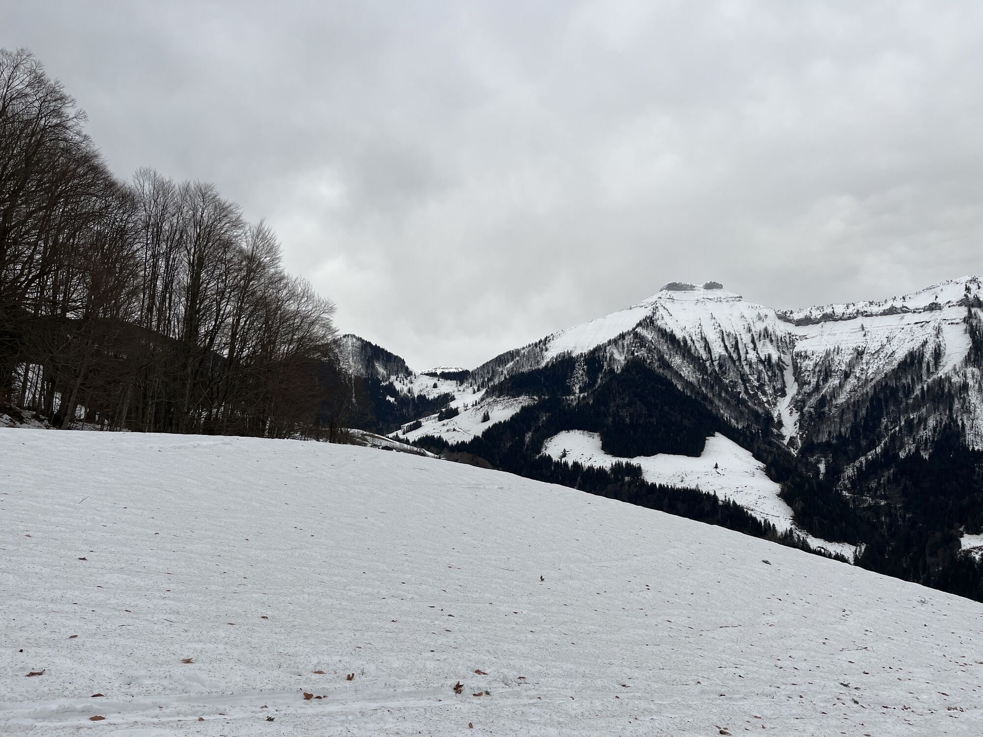
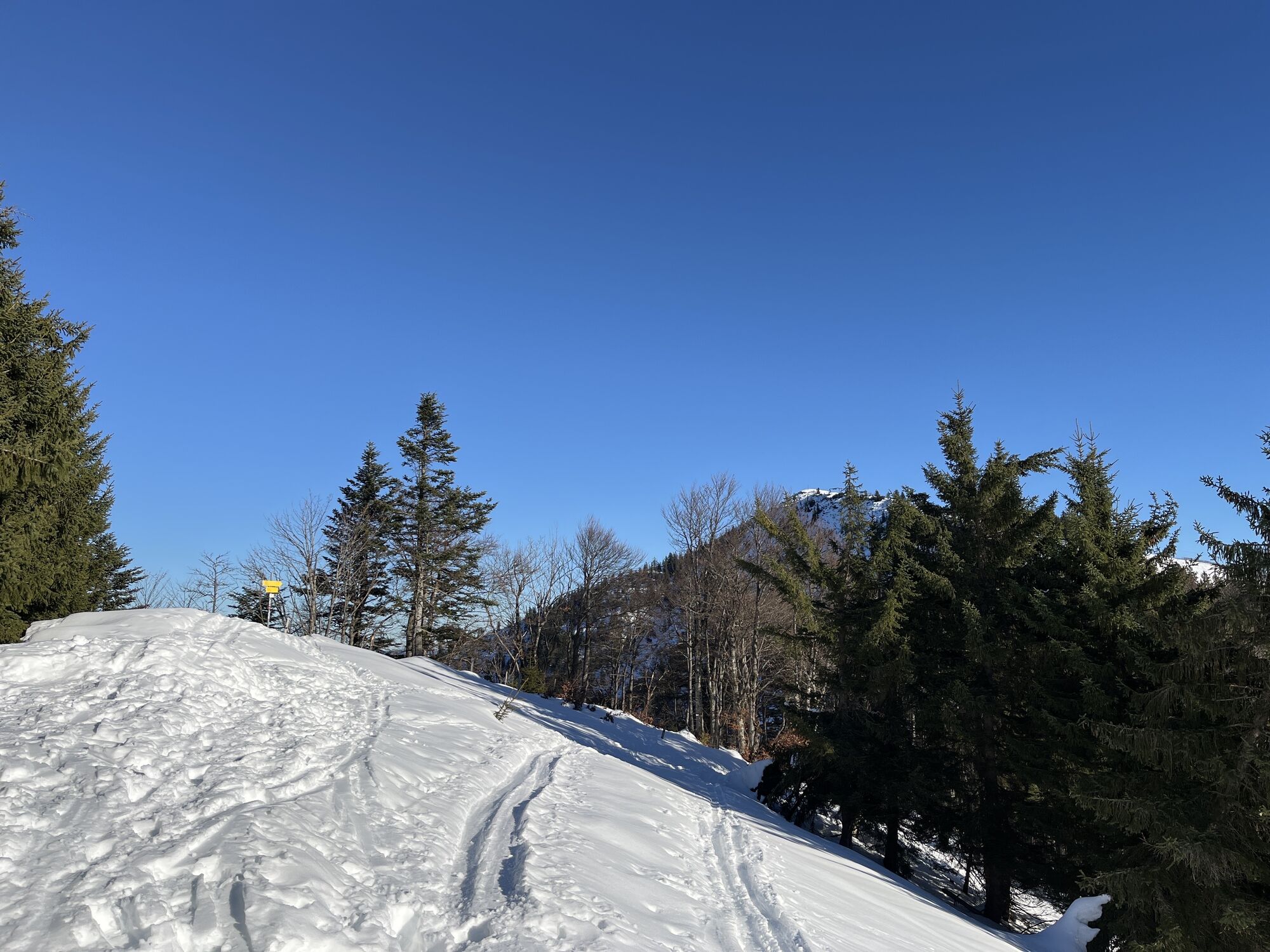

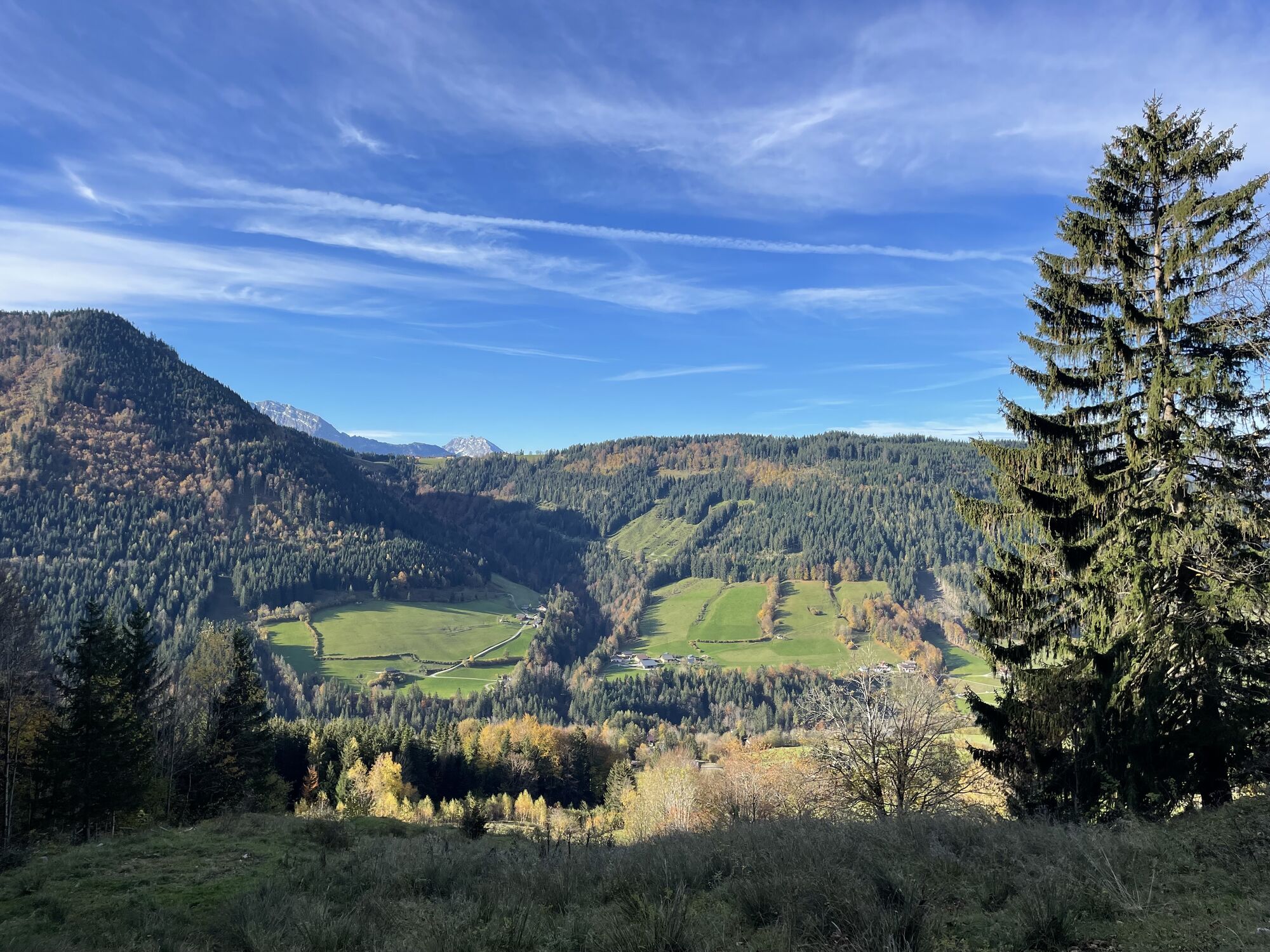
Starting from the parking lot of the Spielbergbahn in Gaissau, we ascend along the left edge of the piste. Convenient: A wide ascent strip has been laid out here left of the piste especially for ski tourers....
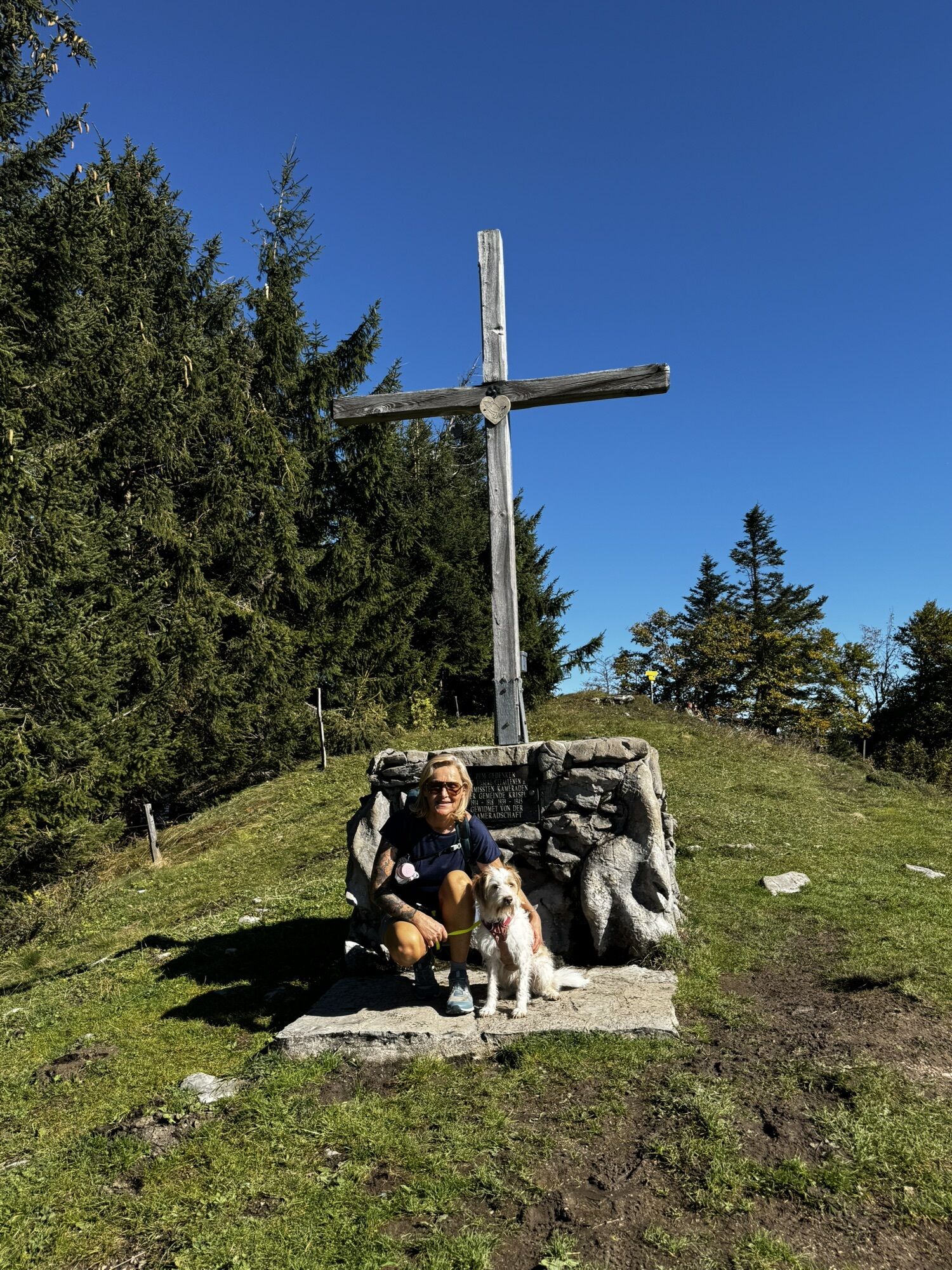
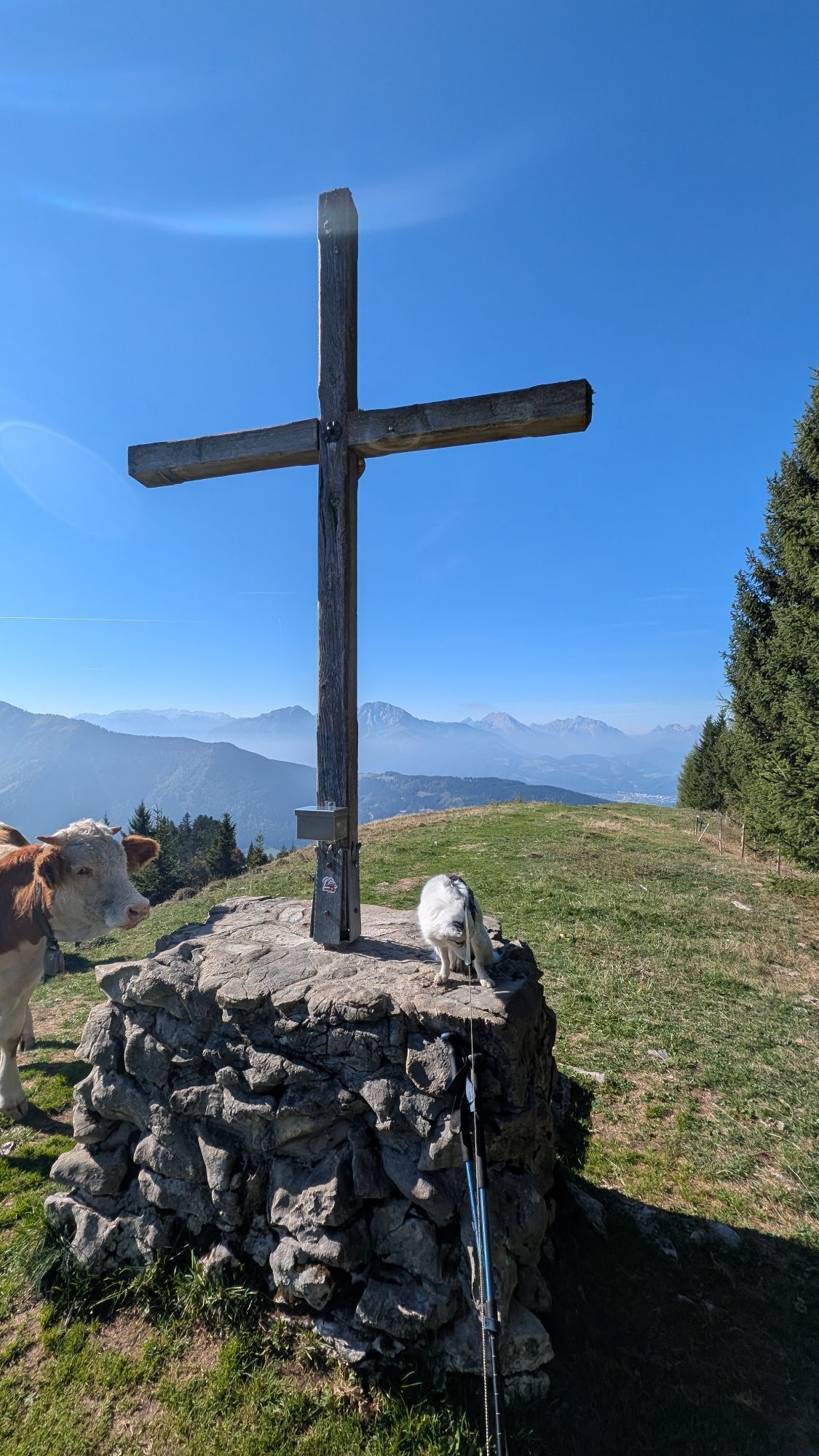
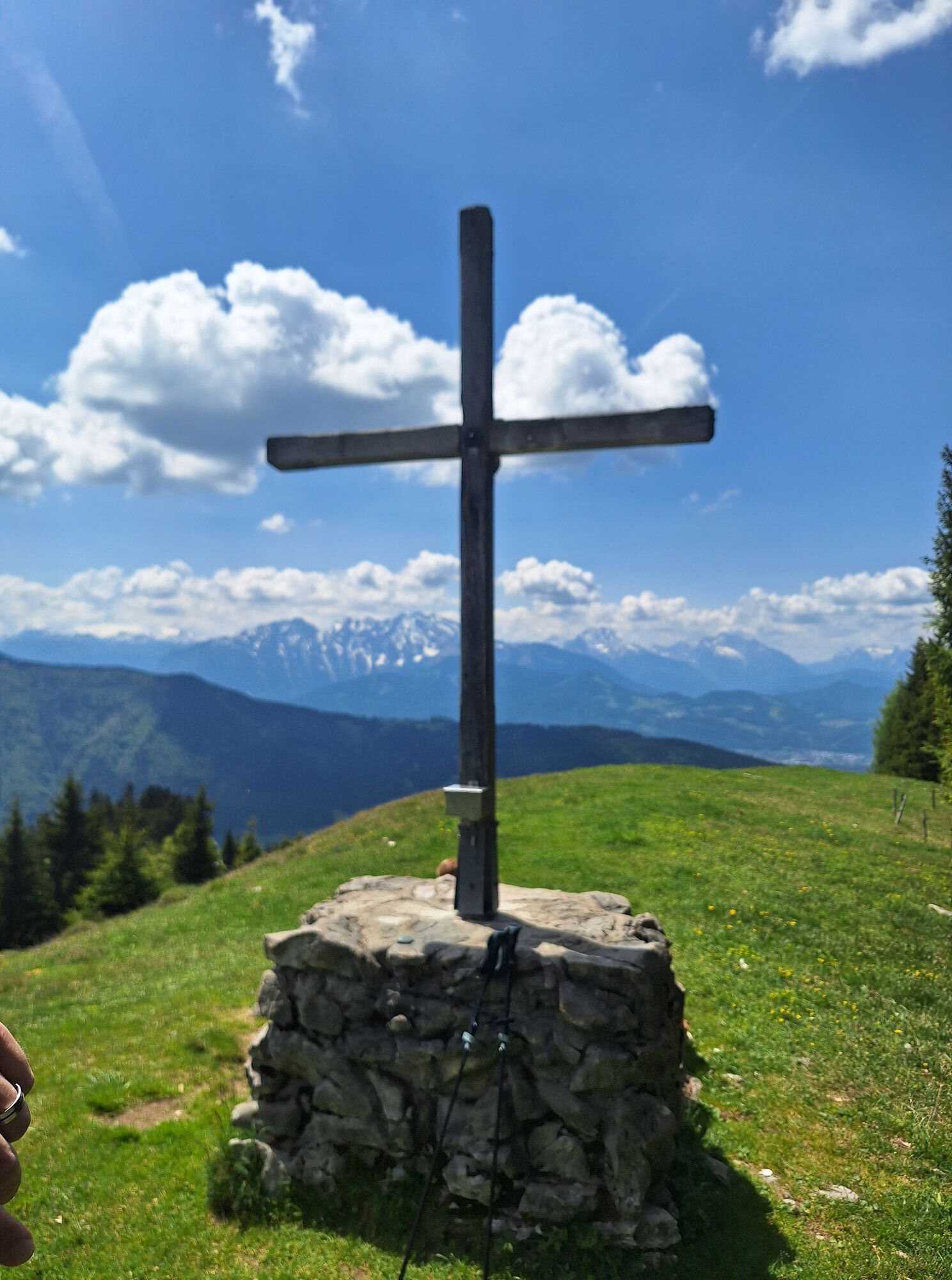
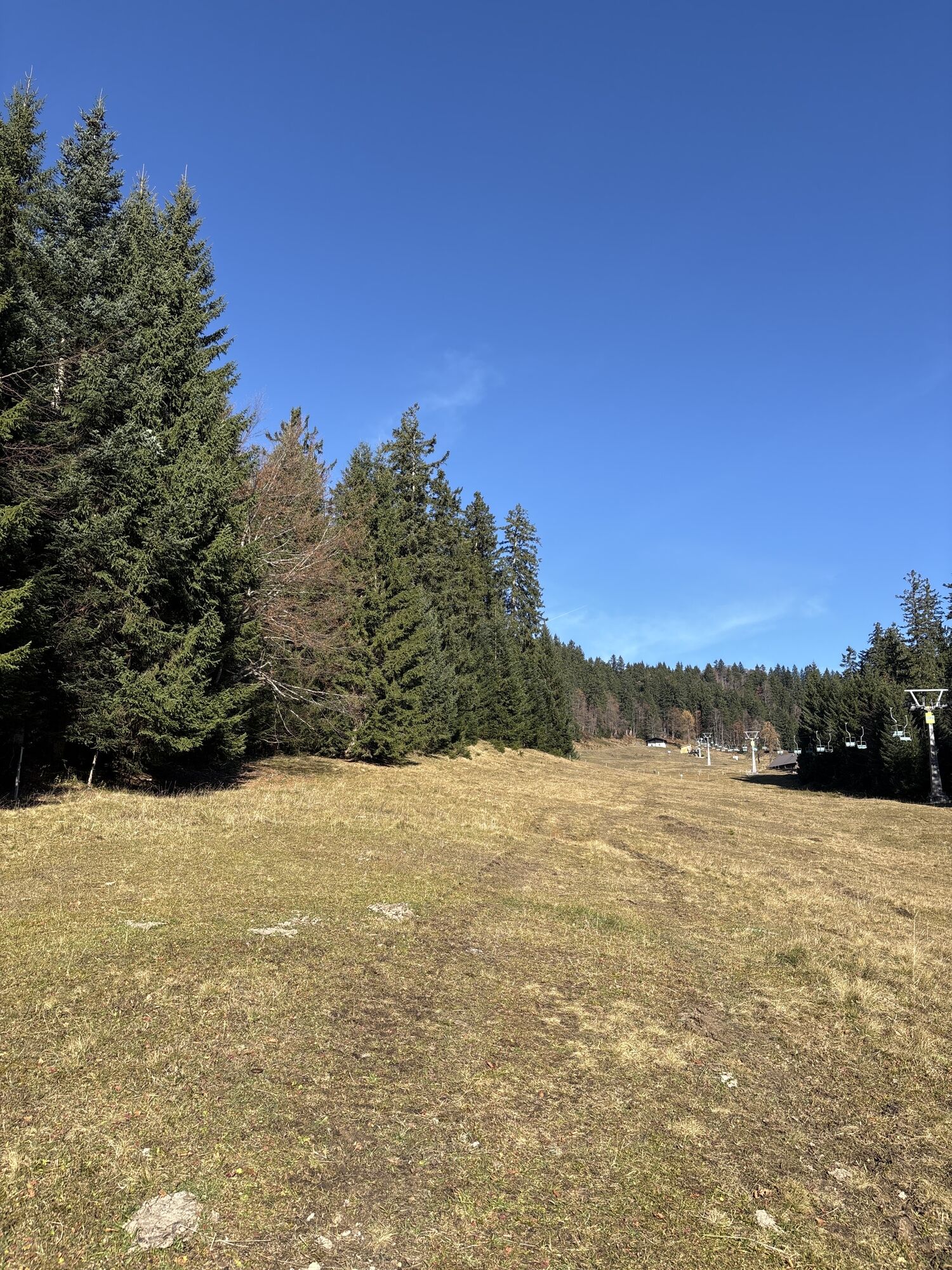
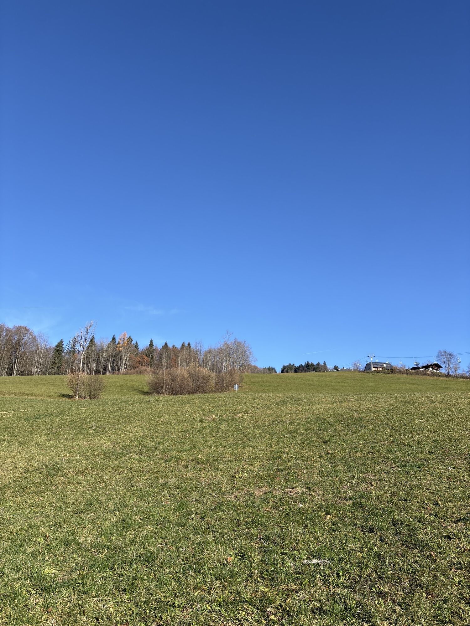
Starting from the parking lot of the Spielbergbahn in Gaissau, we ascend along the left edge of the piste. Convenient: A wide ascent strip has been laid out here left of the piste especially for ski tourers. After some time, the ski slope narrows and you follow the "route" until shortly before the Spielbergalm. On the left, you can now hike up the slope to the top station of the Spielbergalm drag lift and reach the summit of the Spielberg (1428m) just a few meters later.
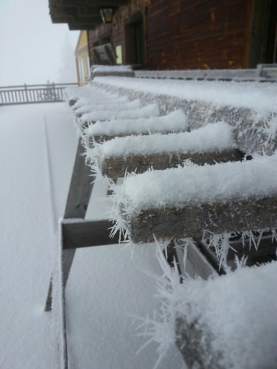
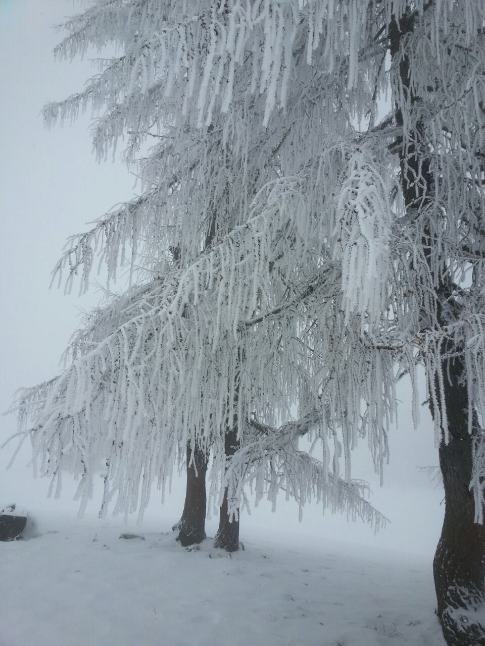
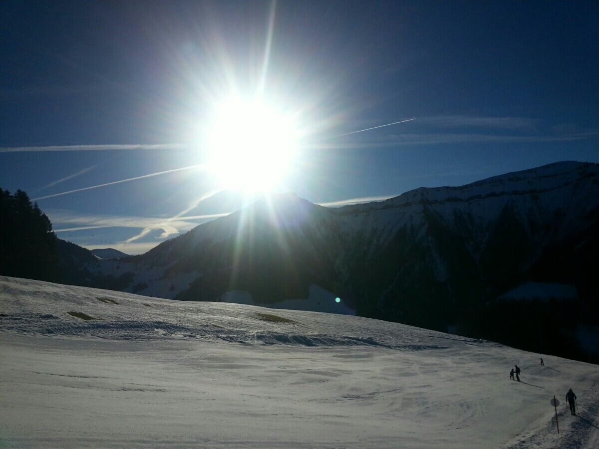
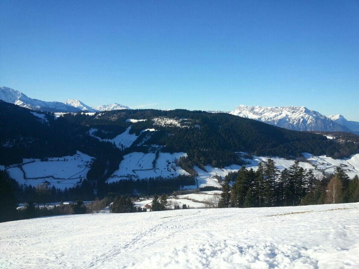
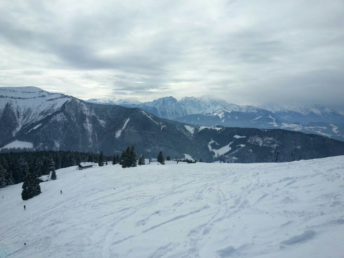
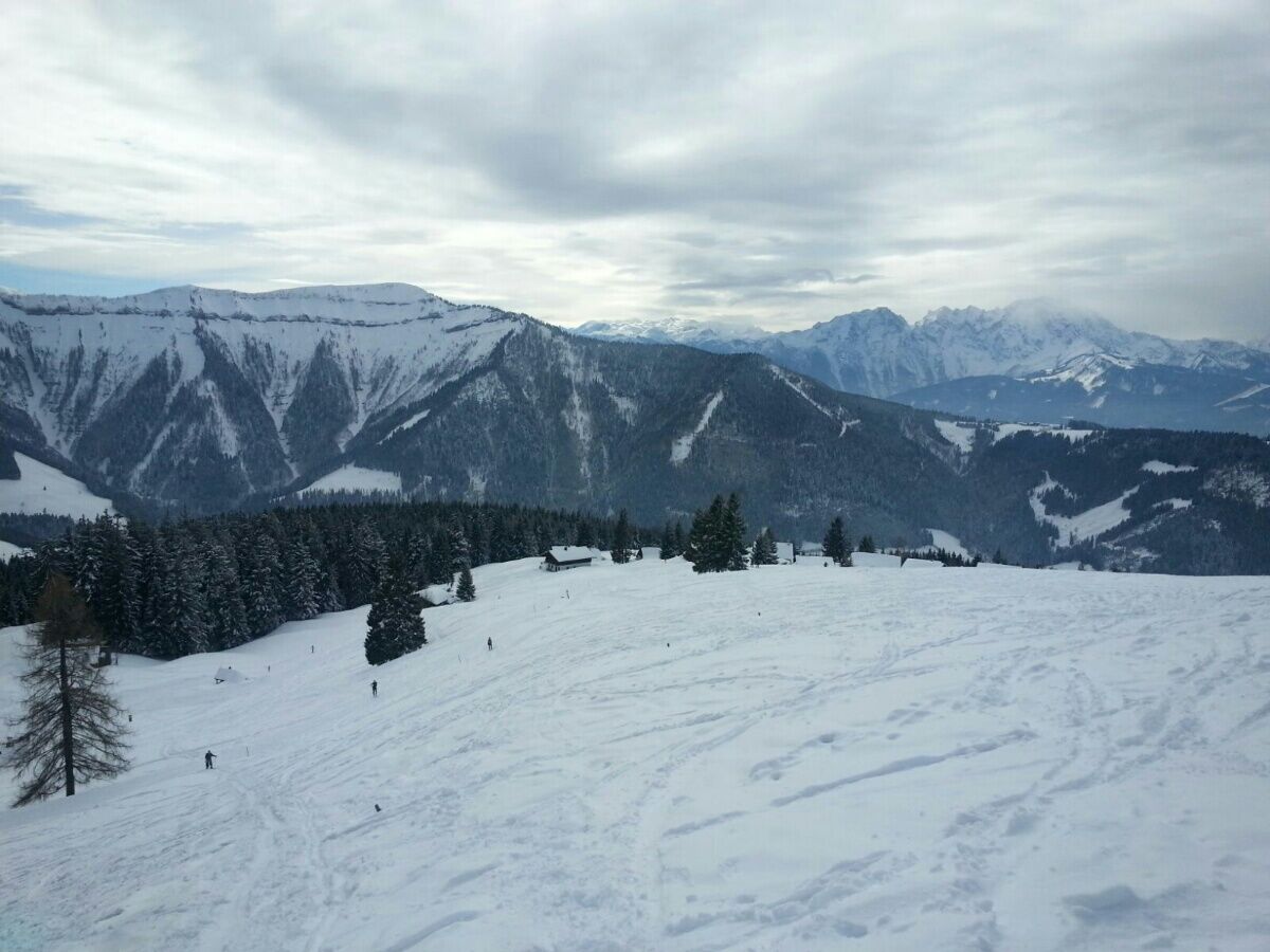

Starting from the parking lot of the Spielbergbahn in Gaissau, we ascend along the left edge of the piste. Convenient: A wide ascent strip has been laid out here left of the piste especially for ski tourers. After some time, the ski slope narrows and you follow the "route" until shortly before the Spielbergalm. On the left, you can now hike up the slope to the top station of the Spielbergalm drag lift and reach the summit of the Spielberg (1428m) just a few meters later.
Tak
Tak
Ski boots and touring skis with skins and ski poles
Ski helmet with ski goggles
Safety equipment (transceiver, probe, etc.)
For refreshment muesli bar & banana and drink
On tours in open terrain always carry an avalanche transceiver (LVS), avalanche shovel, avalanche probe, and a first aid kit.
Please always keep in mind that you are on the described hikes in the mountains, in nature, and partly in alpine terrain.
Our content has been compiled with the greatest care, but liability is expressly excluded. Dangers can never be completely ruled out and the use of all information and tour descriptions is at your own risk!
From Hallein, drive on the Wiestal state road to the start of the Wiestal reservoir and turn right onto the Krispler state road. Follow this to Gaissau and from there follow the signs to the Gaissau-Hintersee ski area.
When practicing winter sports, you can reach Gaissau Hintersee for free by ski bus.
Valid lines are 41, 159, 450, 460, 470, 471
Ski tourers in the Gaissau Hintersee ski area enjoy the following benefits with their contribution:
Day ticket as well as season ticket for tourers
Parking fee, piste shared use for the descent Use of infrastructure (toilets) Use of piste rescue service During operating hours and daytime operation one uphill ride with any ski lift in the entire areaTicket prices:
Monday-Sunday 08:30-16:30 per person € 10.00
Wednesday 16:30-22:00 per car, Gaissau parking lot € 10.00
Season ticket per person € 105.00
Be sure to make a stop at the sun terrace of the Spielbergalm!


Popularne wycieczki w okolicy
- 4,7
Schwarzer Berg / Golling
średniWędrówka 2,54 km - 4,8
Fuschl: Ruine Wartenfels - Schober - Frauenkopf
średniWędrówka 7,62 km - 4,4
Fuschlseewanderung
światłoWędrówka 11 km - 4,3
Pillstein Panorama Rundweg
światłoWędrówka 3,40 km - 3,9
Bärenweg am Lidaun
światłoWędrówka 9,05 km - 4,8
Abtenau: Postalm circular route 2 - Labenberg & Pitscherberg alms - (IVV circular hiking trail)
światłoWędrówka 10,1 km - 4,7
Pleasure hike over the Falkenstein
średniWędrówka 9,81 km - 4,3
Untersberg, Toni-Lenz-Hütte
Wędrówka 4,86 km - 4,7
The Plombergstein: Adventure and summit panorama
światłoWędrówka 4,12 km - 4,2
Illinger Alm-Runde
średniWędrówka 9,89 km
Wędrówki i tropienie


Nie przegap ofert i inspiracji na następne wakacje
Twój adres e-mail została dodana do listy mailingowej.





