


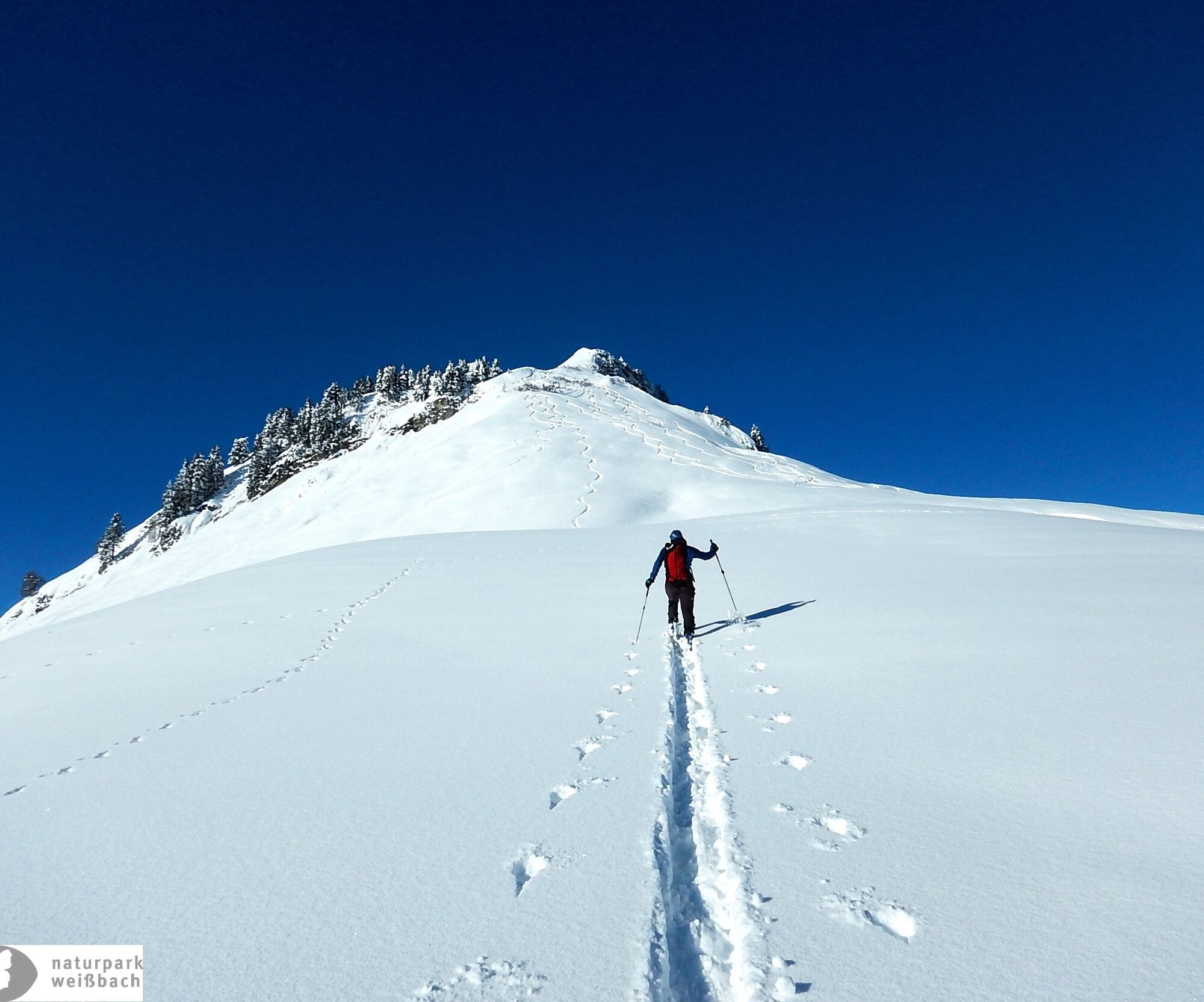
Snowshoe hike to Kuhkranz
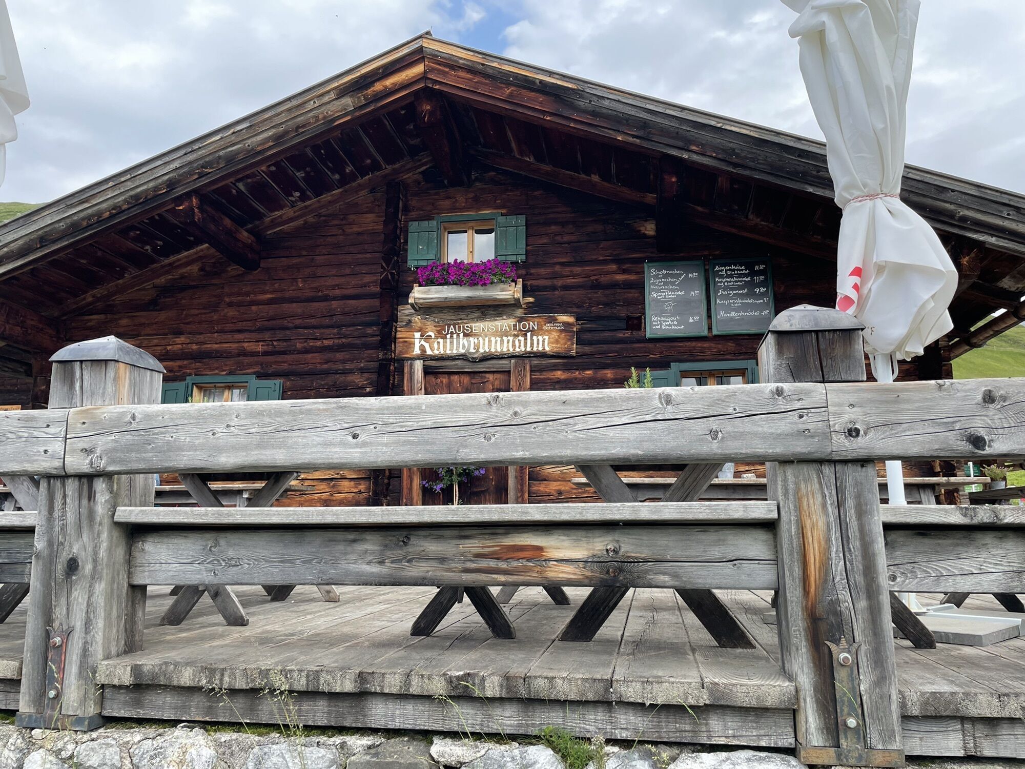
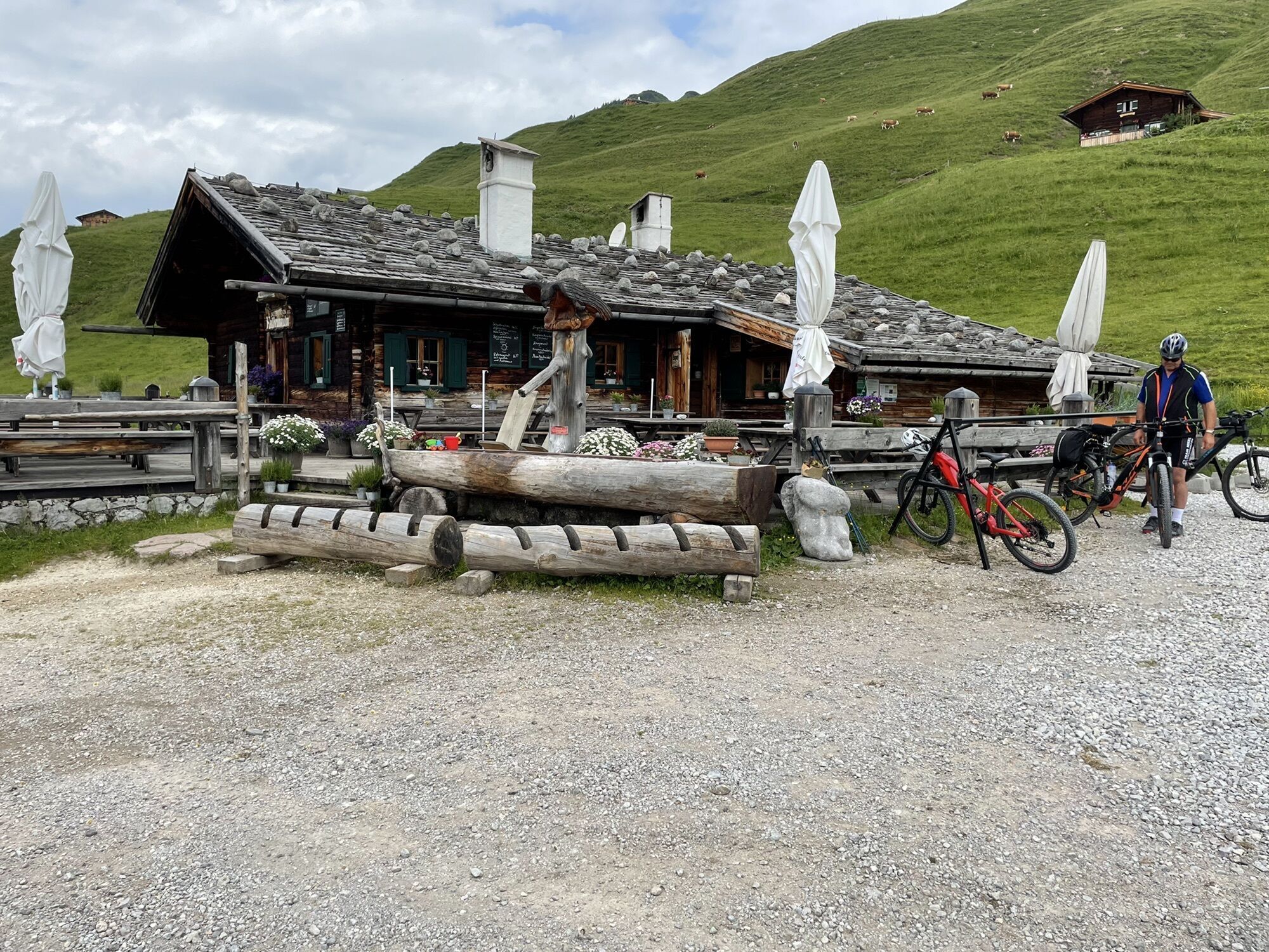
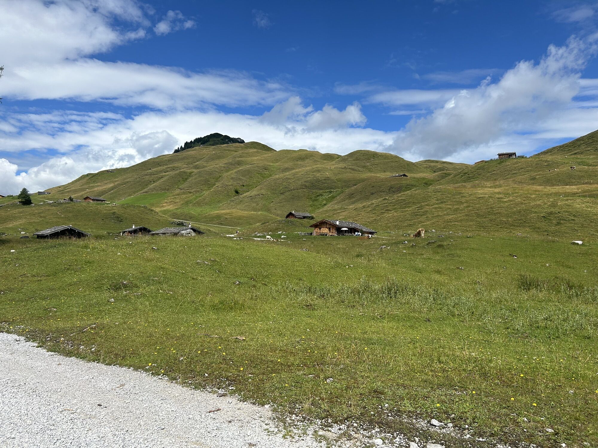
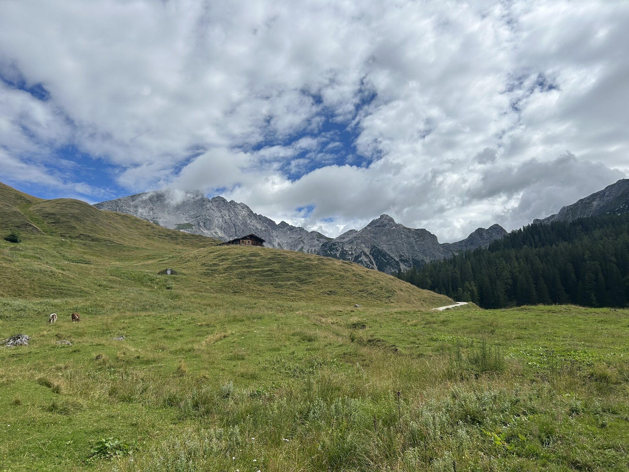
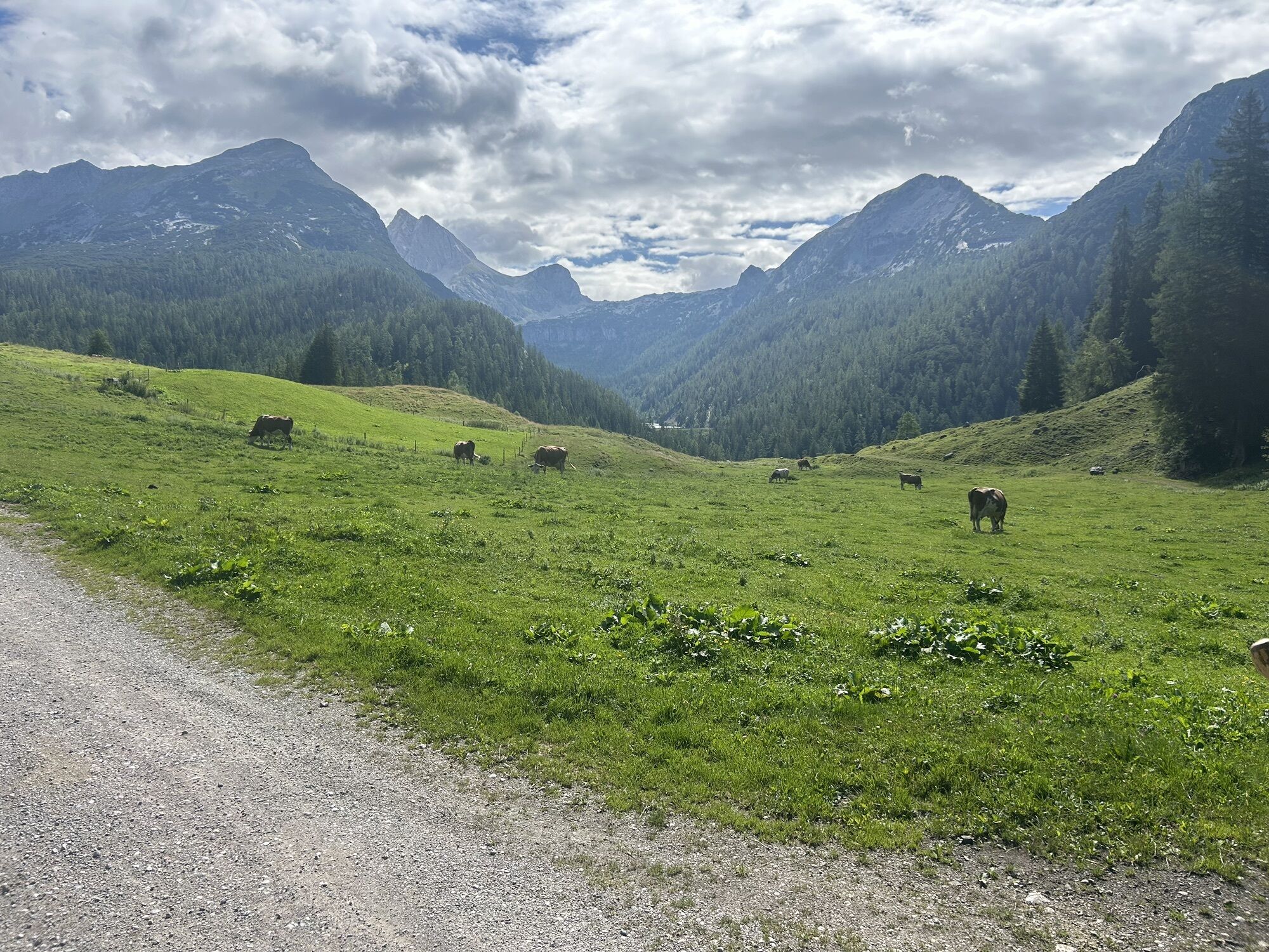
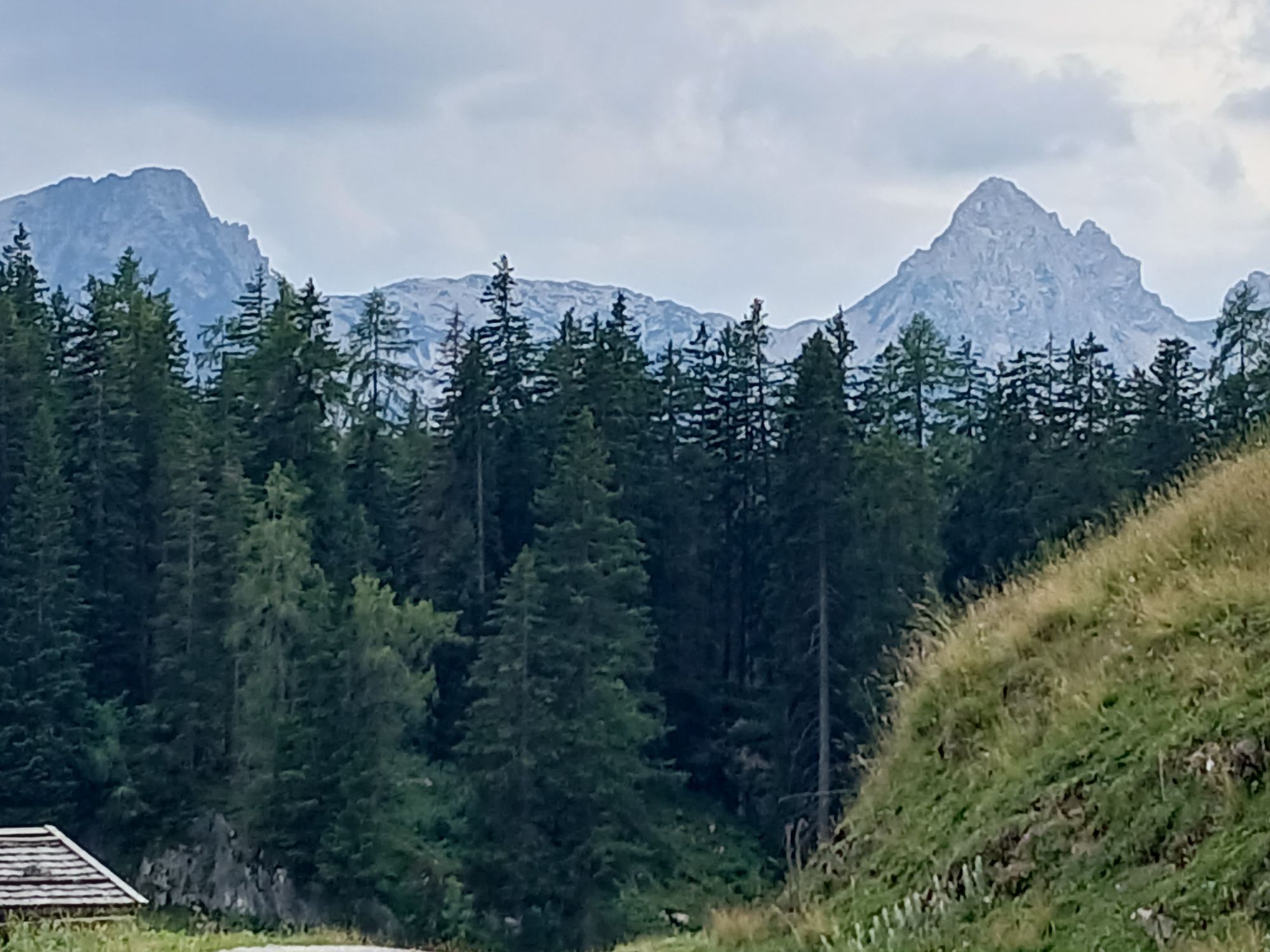
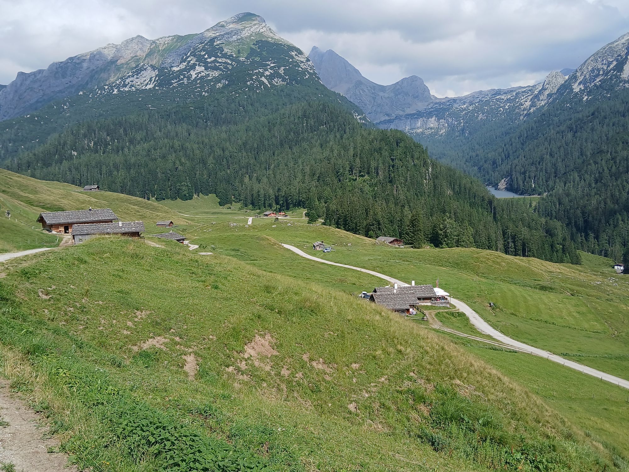
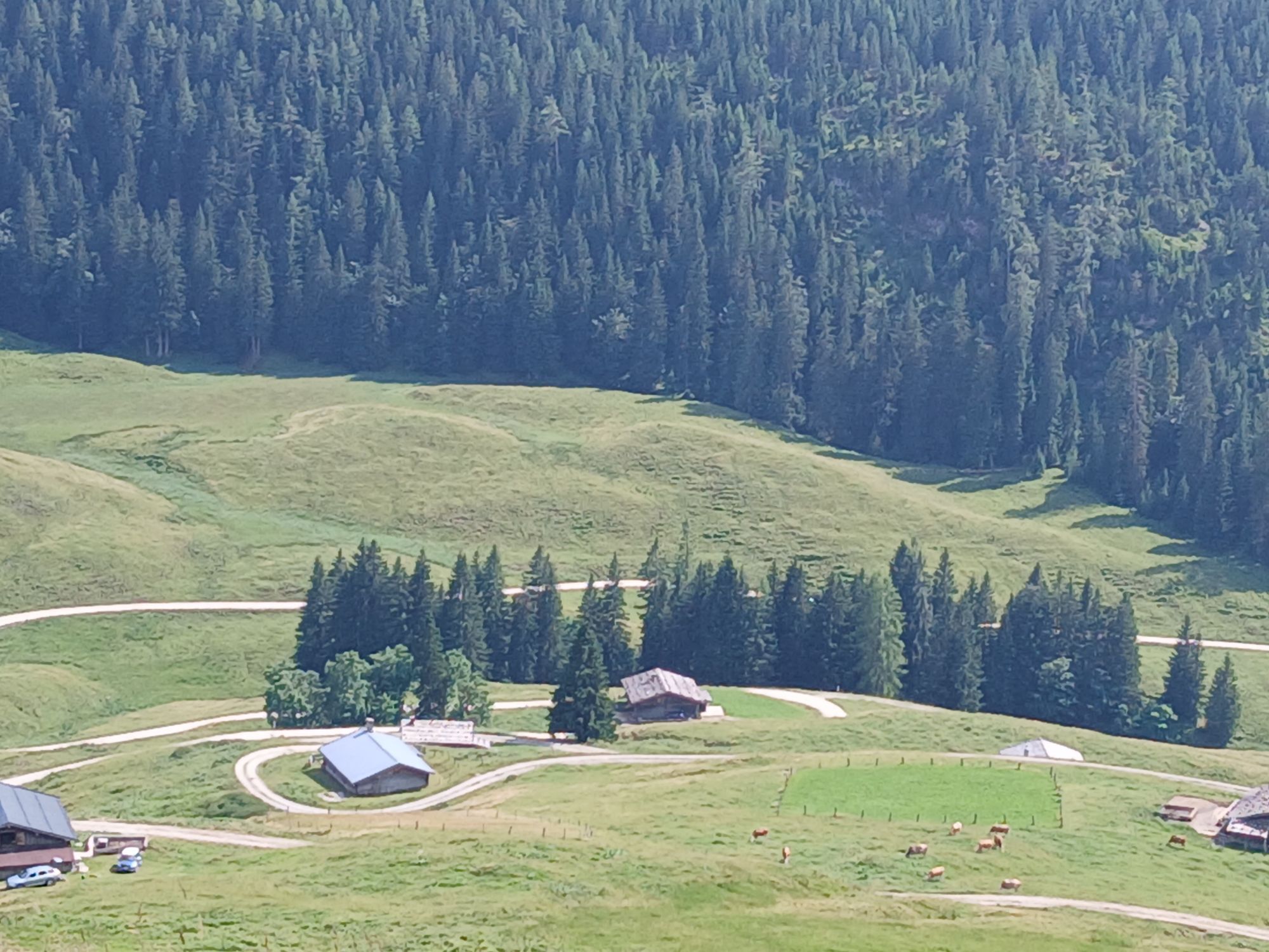
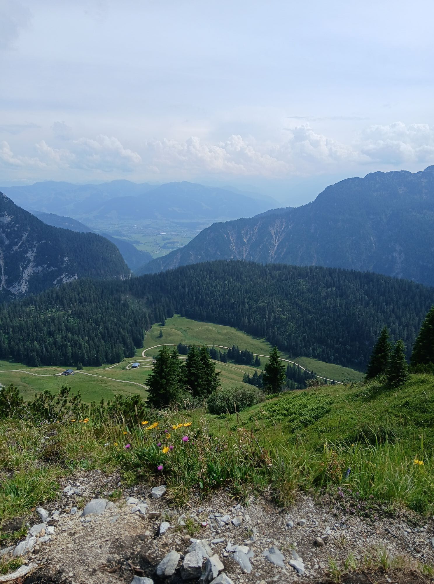
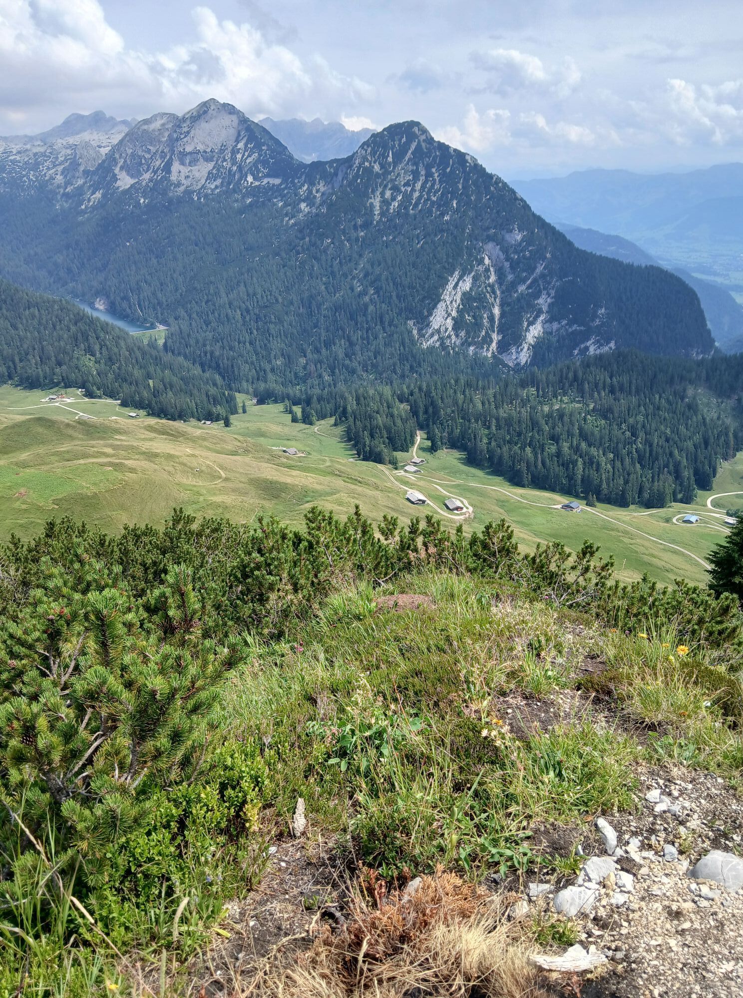
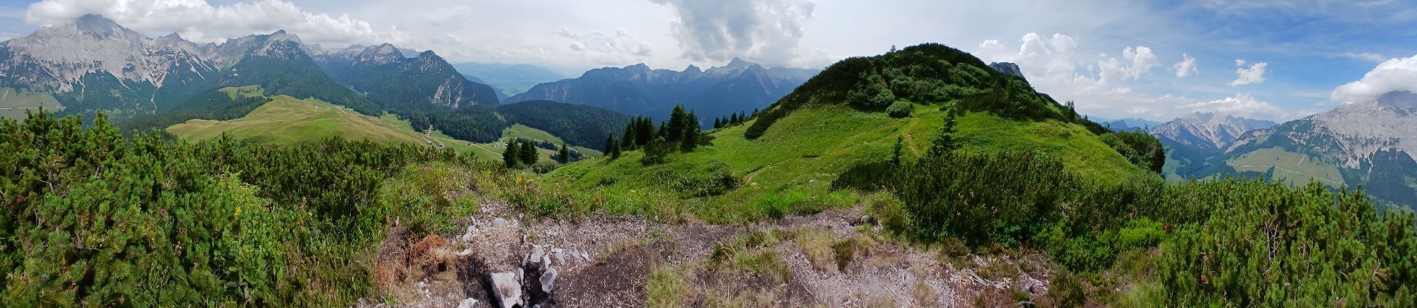
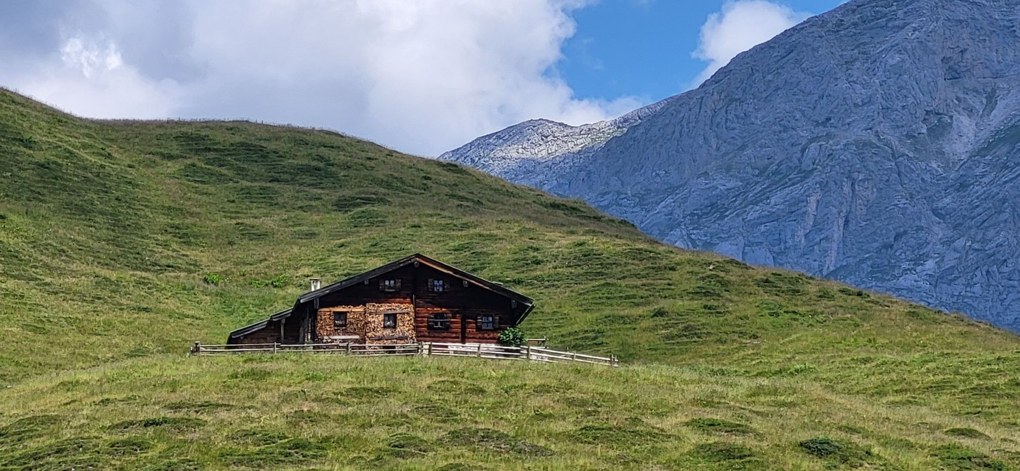
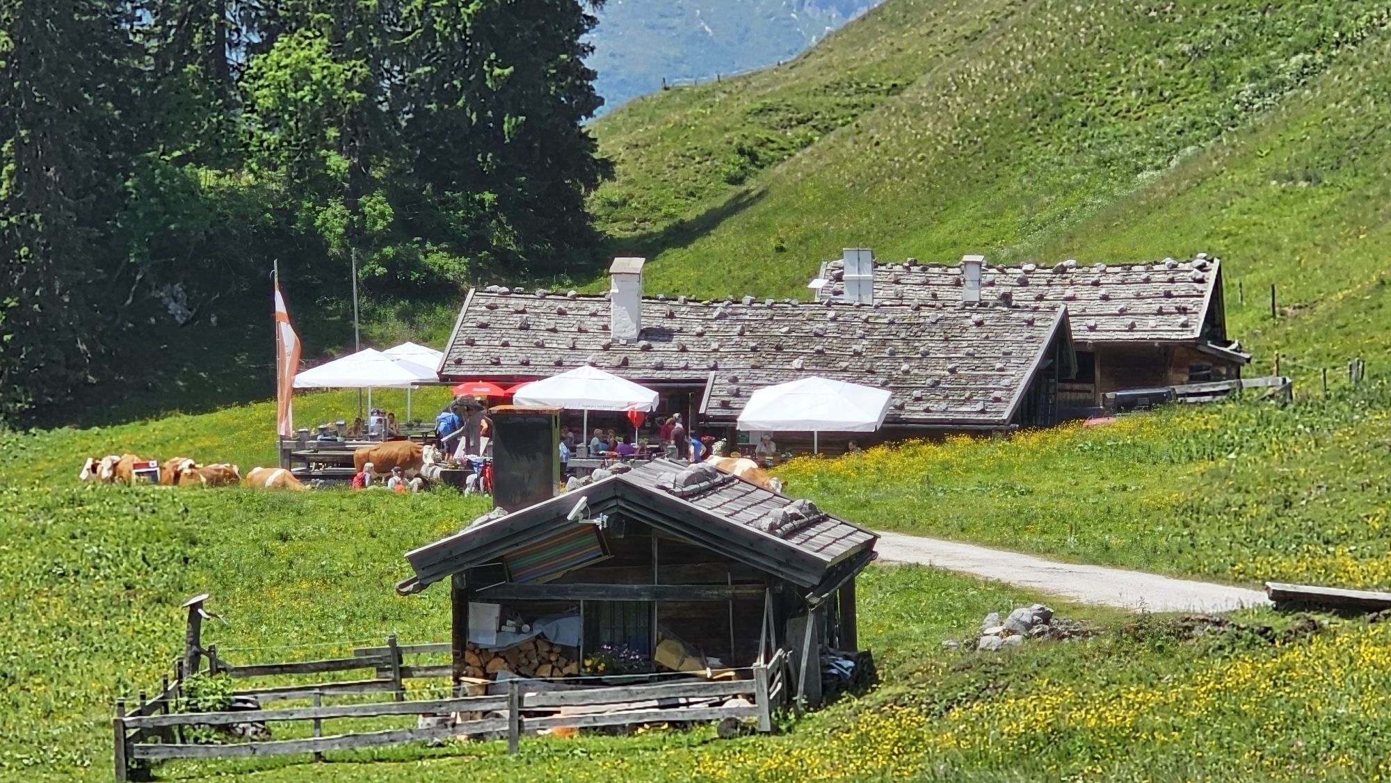
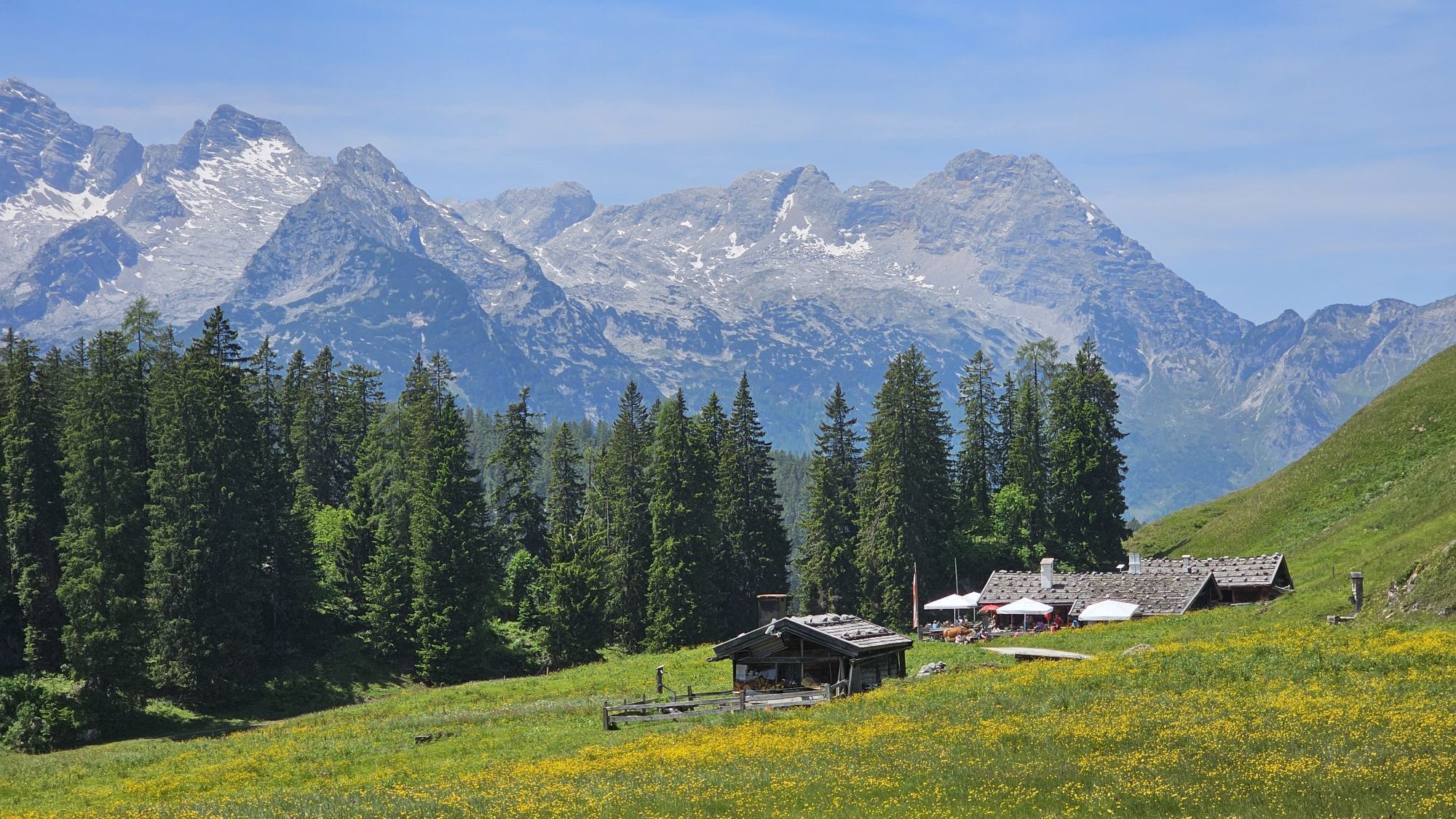
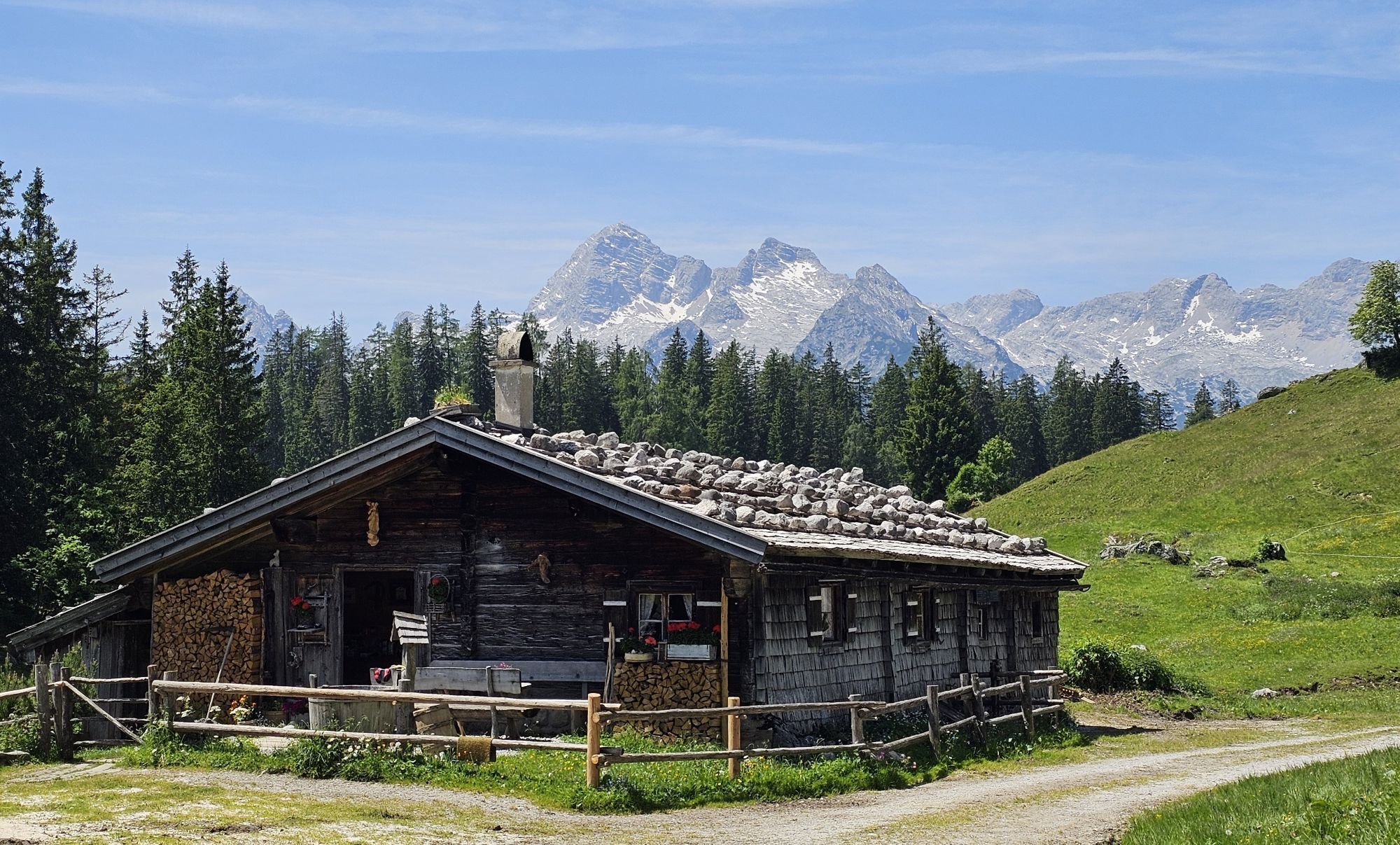


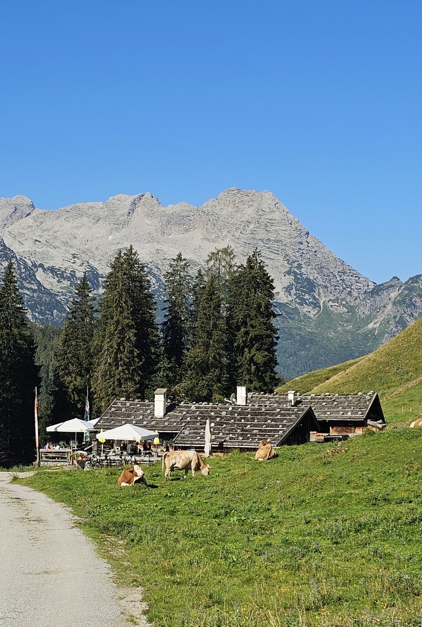
From the parking lot Waltlmühlsäge, the snowshoe hike leads you along the forest road to the beautiful Kallbrunnalm. Passing a series of alpine huts, it continues to Kuhkranz. The return is on the same...
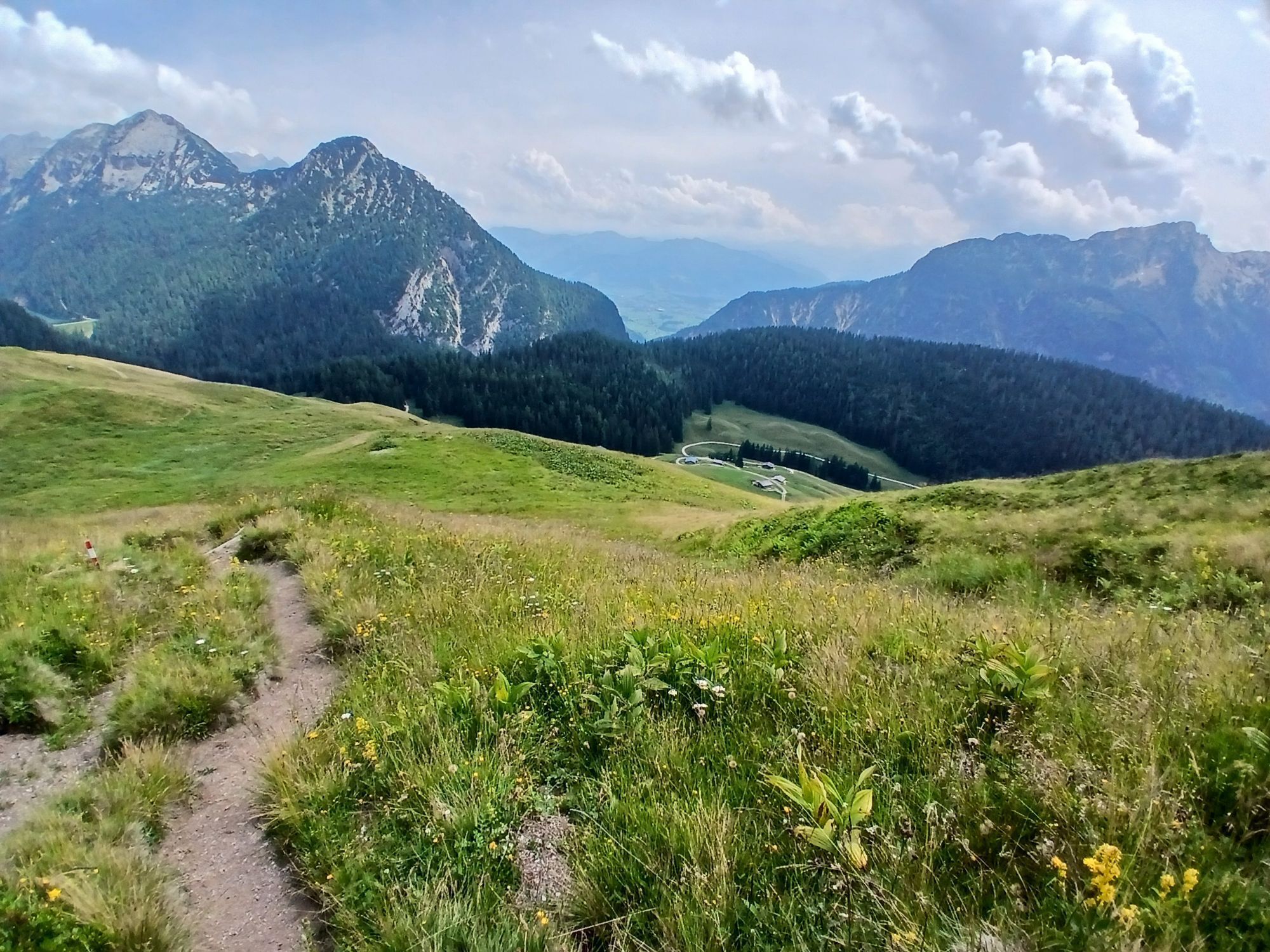
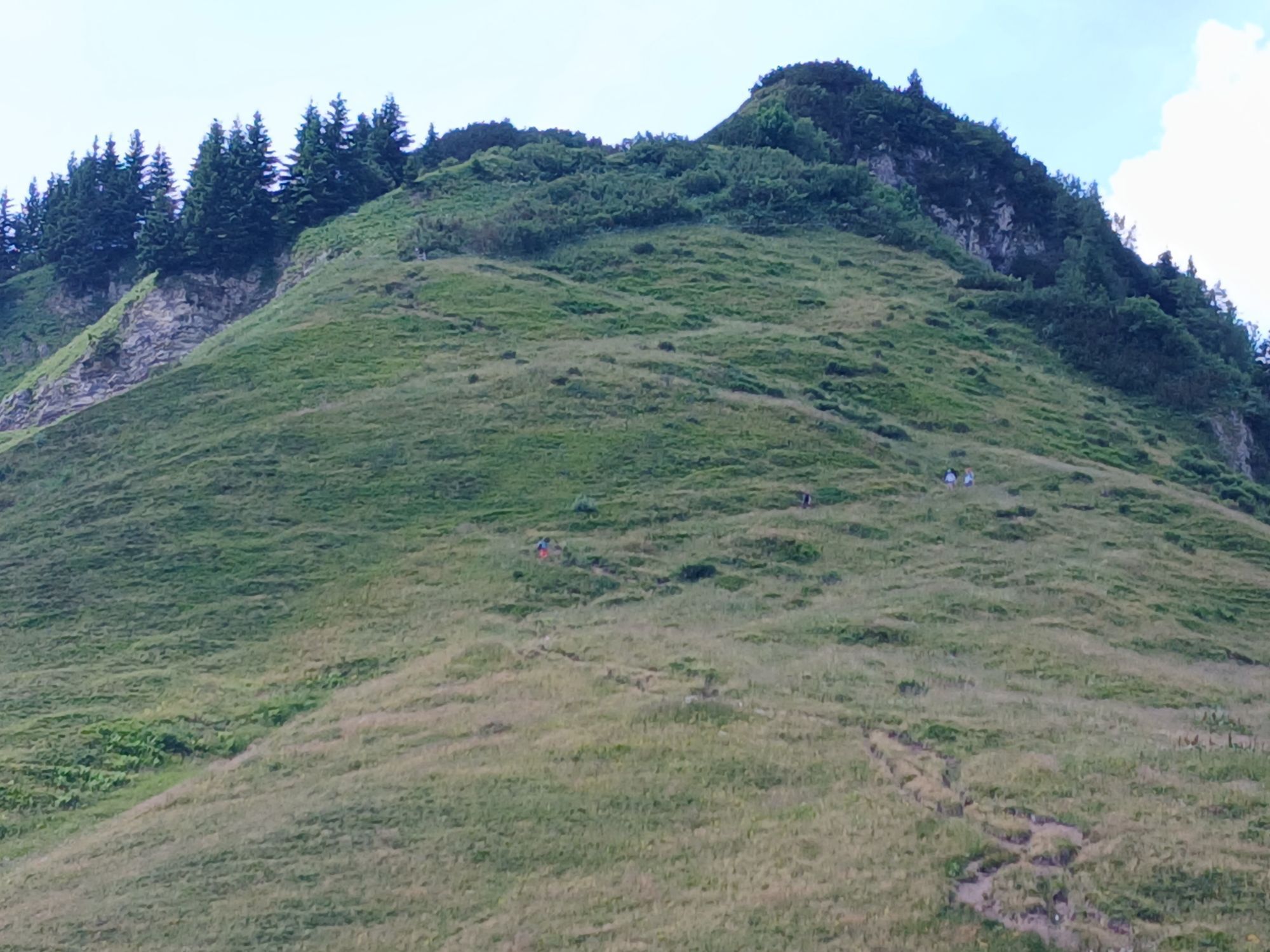
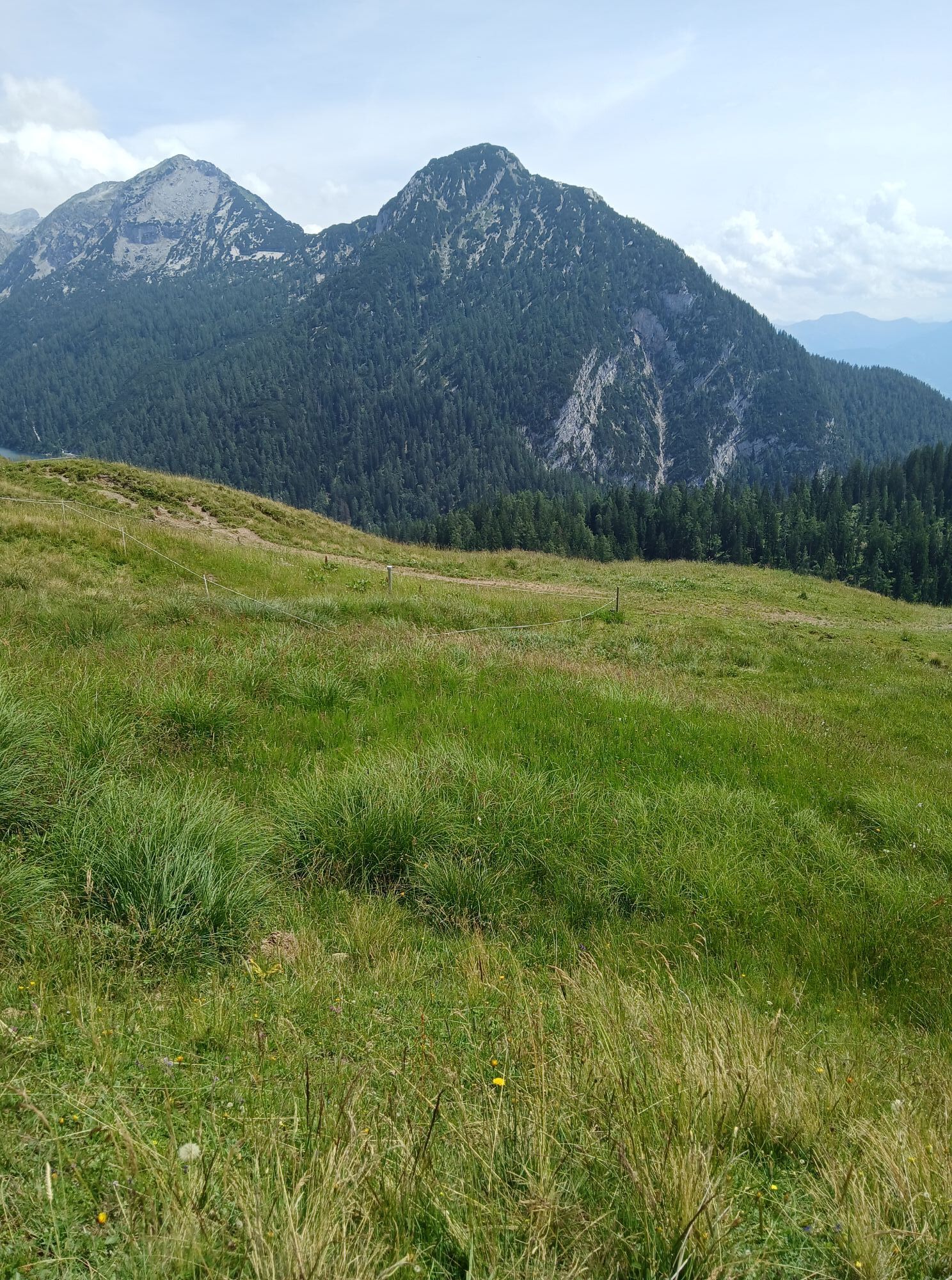
From the parking lot Waltlmühlsäge, the snowshoe hike leads you along the forest road to the beautiful Kallbrunnalm. Passing a series of alpine huts, it continues to Kuhkranz. The return is on the same route.
The possible return route via Pürzlbach is not recommended due to avalanche danger.


Parking lot Waltlmühlsäge - Kallbrunnalm - Kuhkranz - Kallbrunnalm - Parking lot Waltlmühlsäge
Tak
Clothing: Wear functional base layers, insulating layers like fleece, a waterproof winter jacket, and snow pants. Remember a warm hat, gloves, and a scarf.
Shoes: Waterproof winter boots with good insulation and suitable wool socks.
Equipment: Backpack, hiking poles, face protection against cold, first aid kit, heat packs, pocket knife or multitool, map and compass, mobile phone.
Food: Thermos with hot drinks, energy-rich snacks, and a packed lunch.
Make sure to adjust your equipment according to the duration of the hike, weather conditions, and your personal needs.
By car via B311 to Weißbach bei Lofer and via Hirschbichllandesstraße (L110) to the parking lot Waltlmühlsäge.
You can reach the starting point by public transport with bus line 260 (timetable) to Weißbach bei Lofer.
Unfortunately, there are no public transport options directly to the start of the route.
Parking lot Waltlmühlsäge (paid)
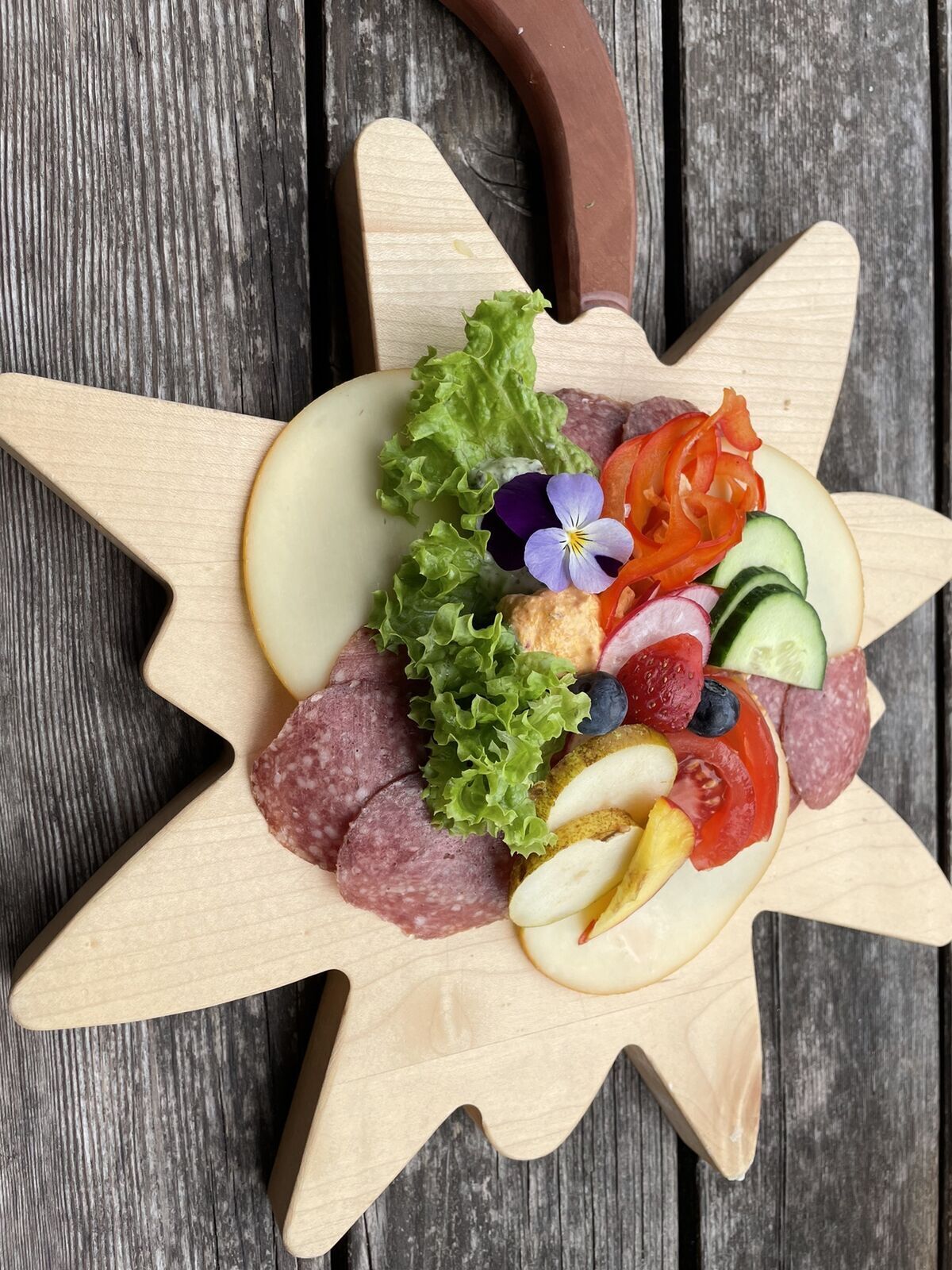
Bring your own drinks and food, as there is no option to dine on the Kallbrunnalm in winter.

Popularne wycieczki w okolicy
- 5,0
Königssee - Kärlinger-Haus
Wędrówka 10,1 km - 4,4
Wimbachgrieshütte
Wędrówka 8,30 km - 4,6
Grünstein
światłoWędrówka 2,57 km - 4,2
Maria Alm - Riemannhaus
Wędrówka 3,99 km - 4,3
Halsalm
Wędrówka 6,43 km - 4,6
Steinalm
światłoWędrówka 2,71 km - 5,0
Watzmann Überschreitung an einem Tag
ciężkiWędrówka 23,9 km - 4,9
Ramsau/Hintersee-Runde
światłoWędrówka 9,44 km - 4,3
Peter-Wiechenthaler Hut
średniWędrówka 4,32 km - 3,9
Soleleitungsweg
Wędrówka 10,5 km
Wędrówki i tropienie


Nie przegap ofert i inspiracji na następne wakacje
Twój adres e-mail została dodana do listy mailingowej.