


Lammertal - Pass Lueg - Bischofshofen Road bike tour
Zdjęcia naszych użytkowników

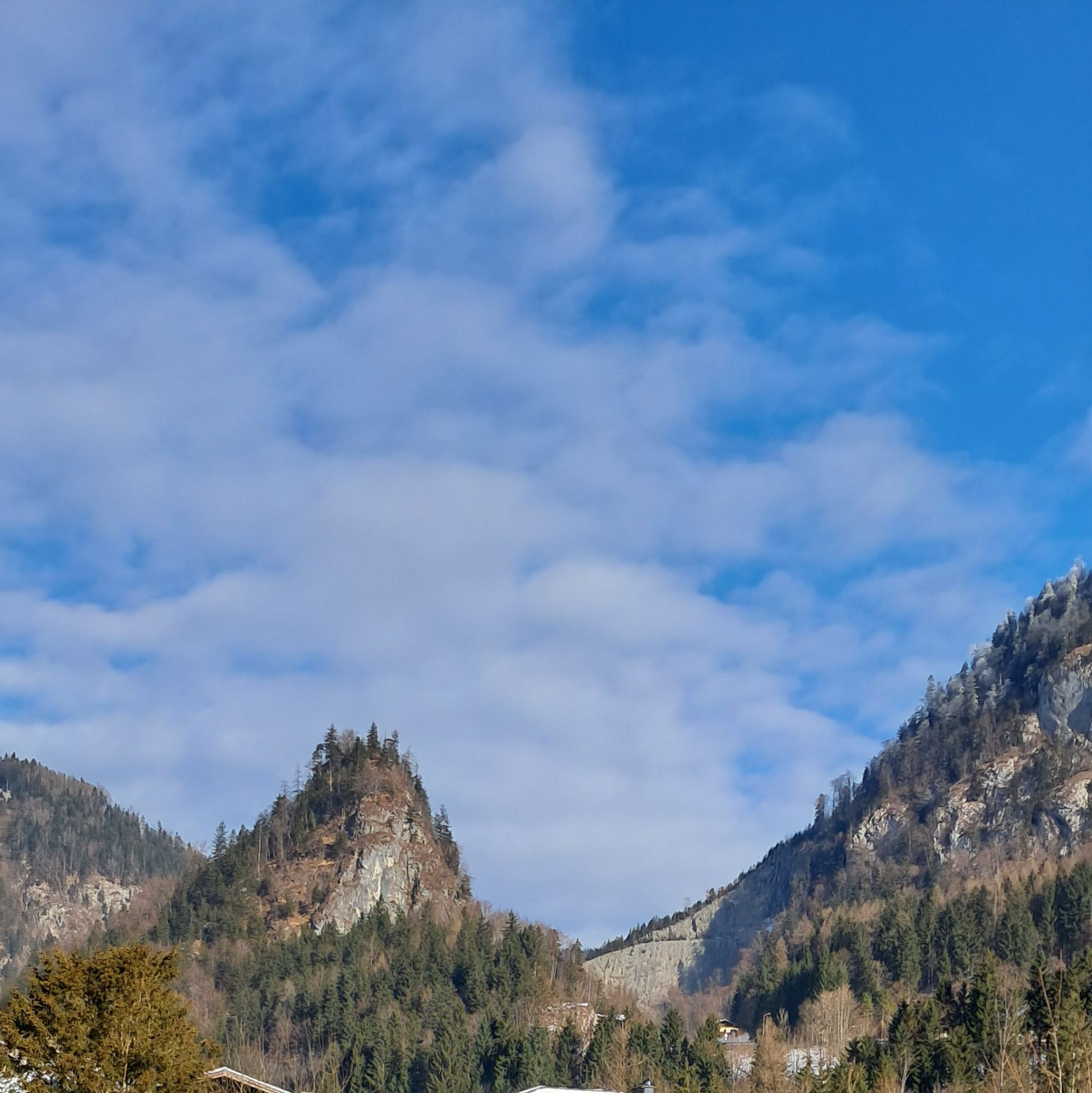
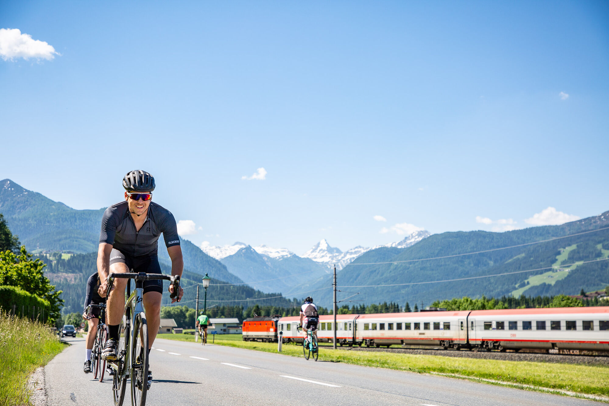
 © Helmut NeuholdUtworzono dnia 06.07.2024
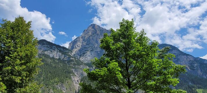 © Helmut NeuholdUtworzono dnia 06.07.2024
 © Helmut NeuholdUtworzono dnia 06.07.2024
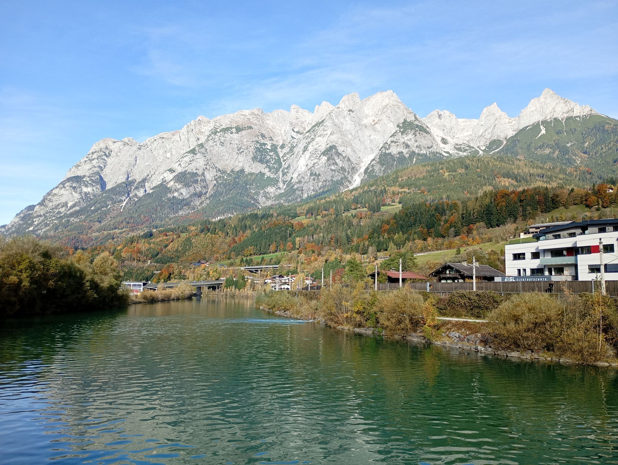
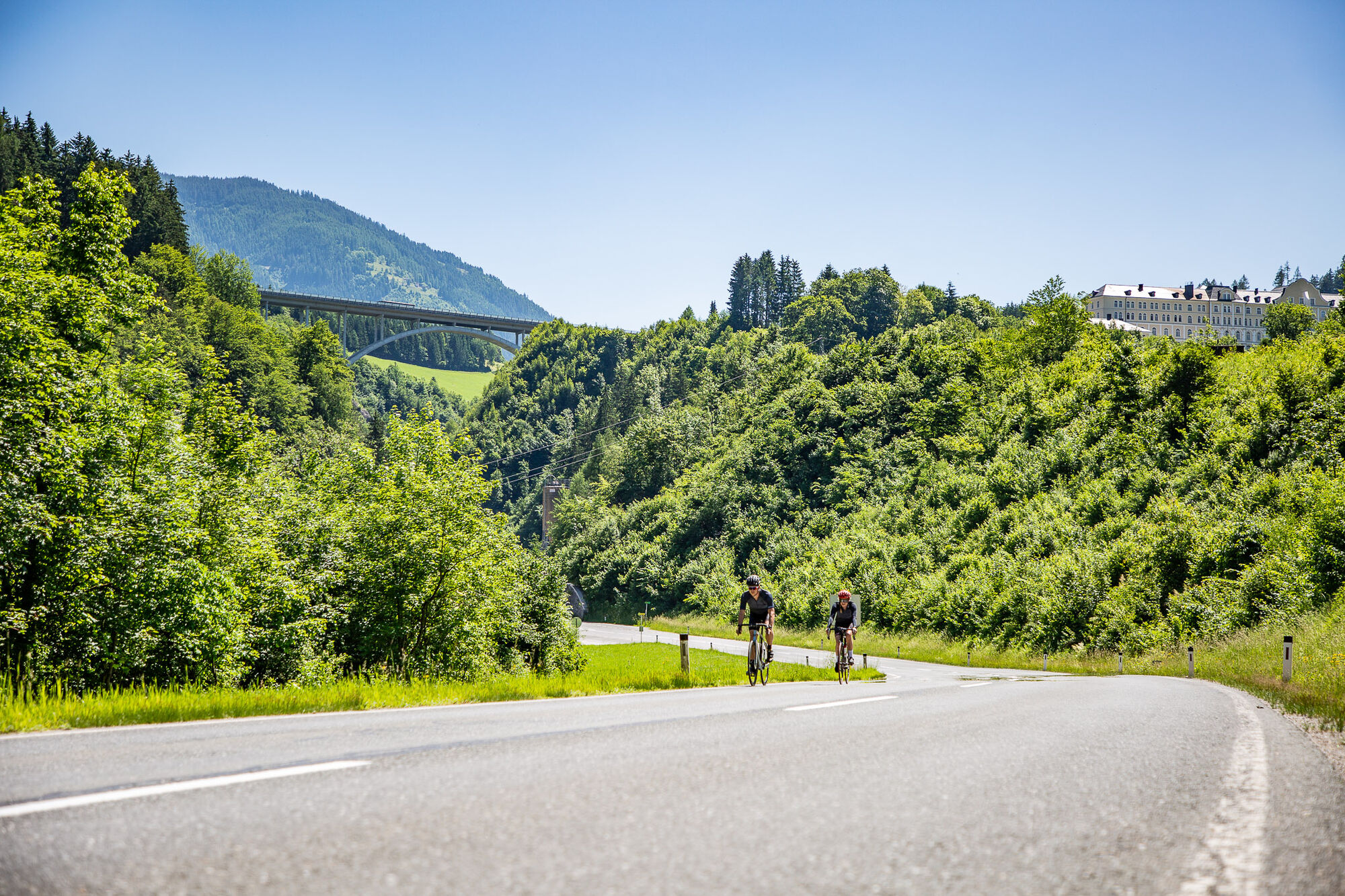
 © Matej Mikus 1Utworzono dnia 22.05.2024
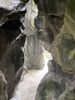
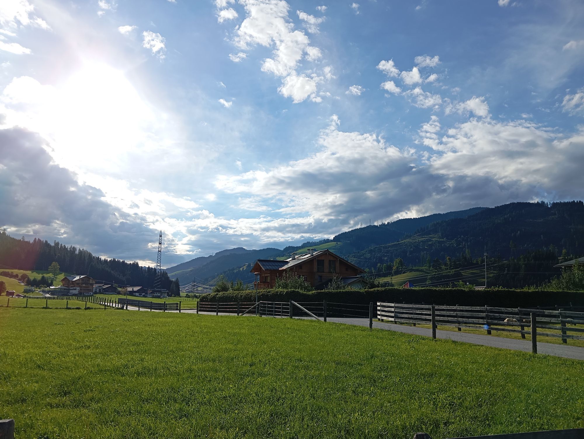
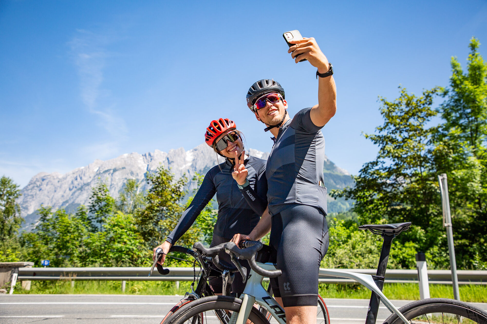
 © Krisztina KatonaiUtworzono dnia 03.08.2025
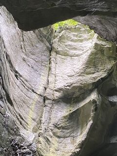 © Krisztina KatonaiUtworzono dnia 03.08.2025
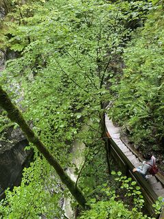 © Krisztina KatonaiUtworzono dnia 03.08.2025
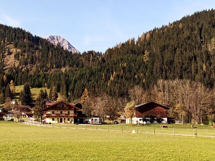
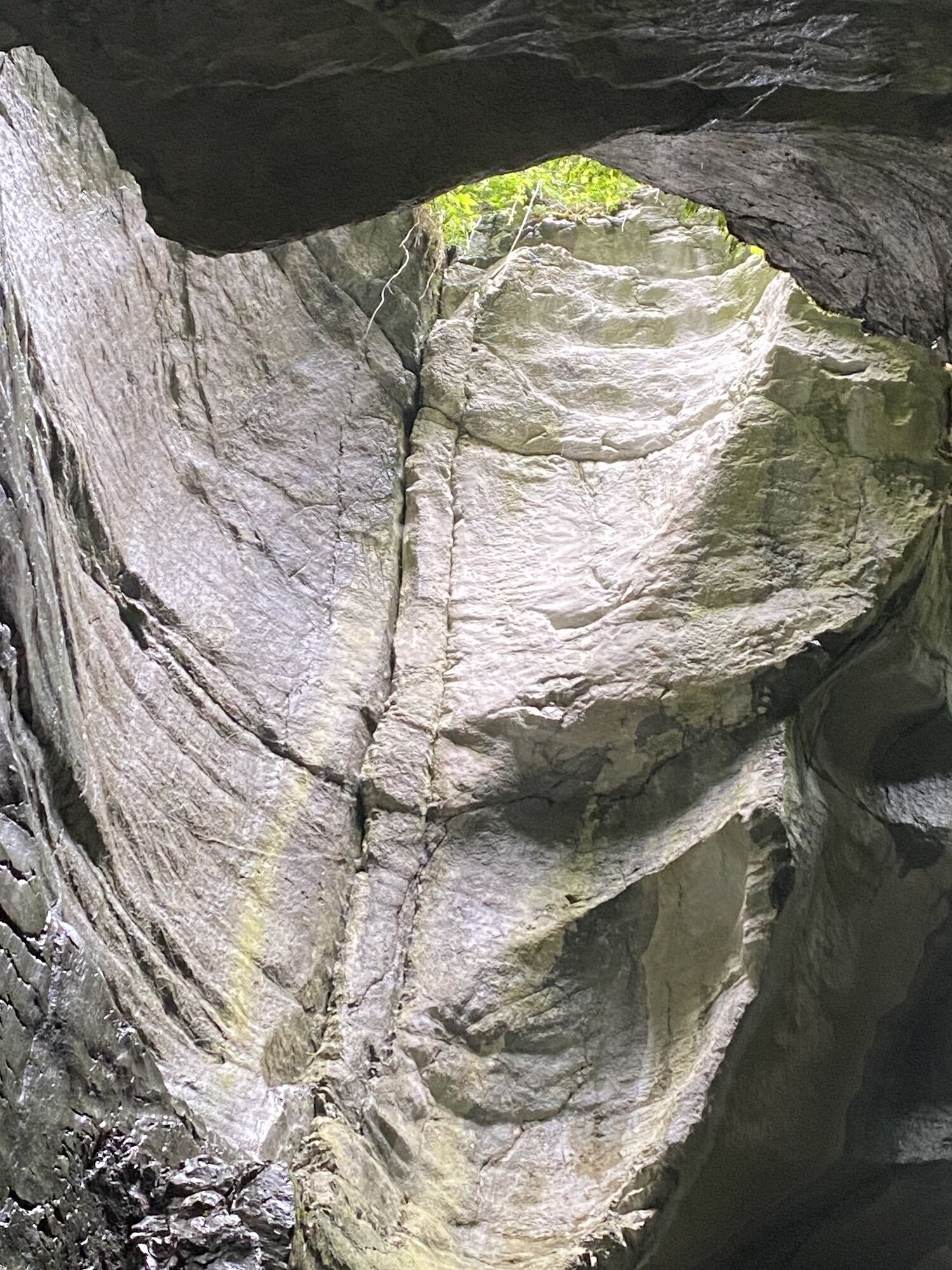
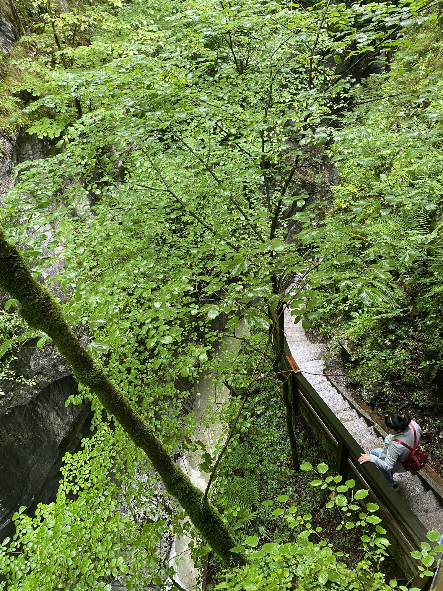
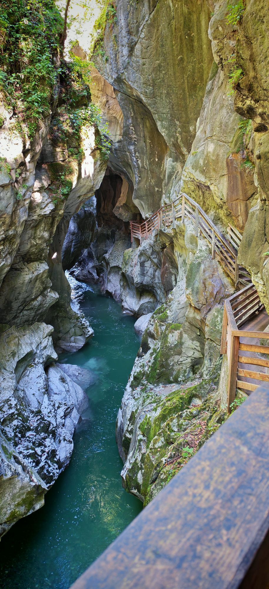
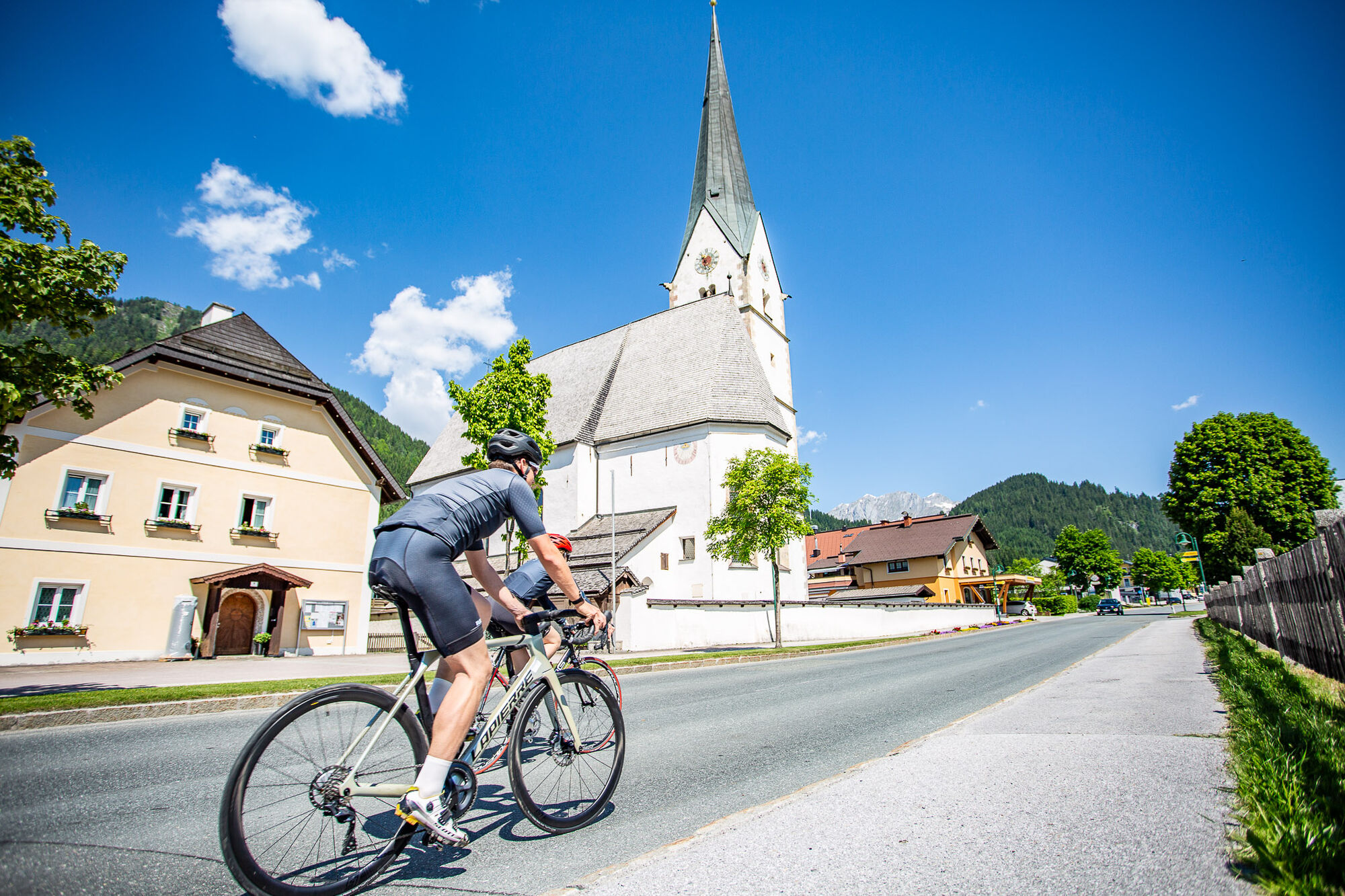
 © Erwin KrumböckUtworzono dnia 28.10.2022
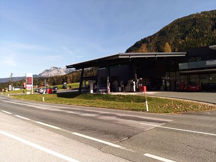 © Erwin KrumböckUtworzono dnia 28.10.2022
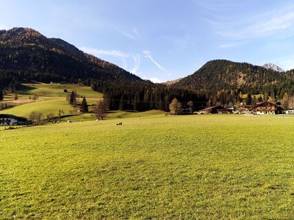 © Erwin KrumböckUtworzono dnia 28.10.2022
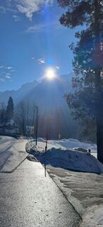
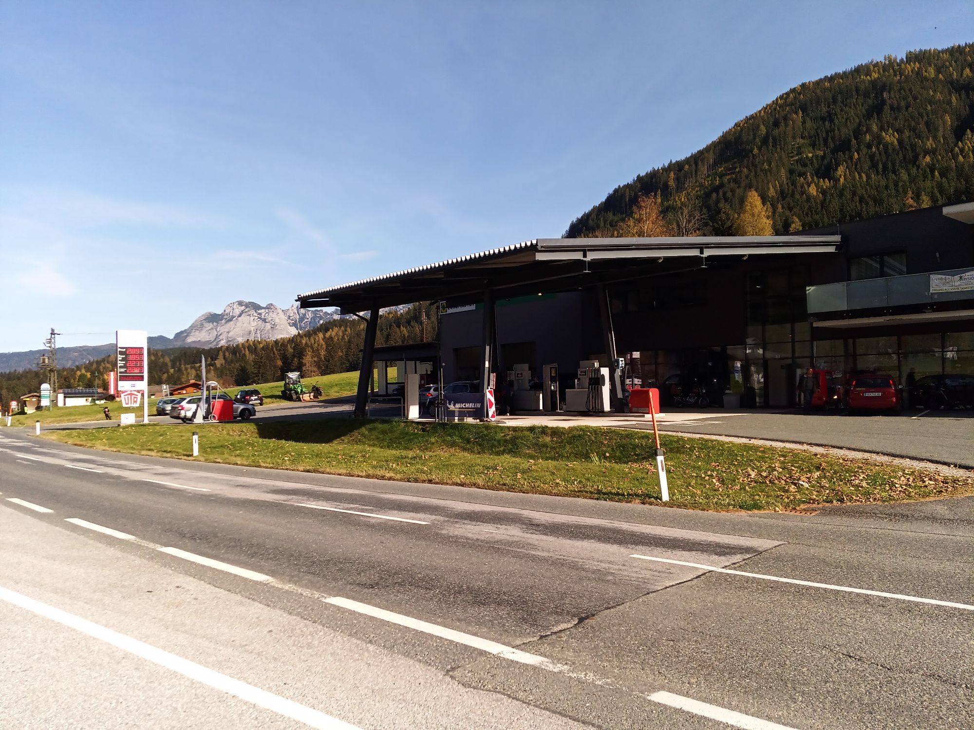
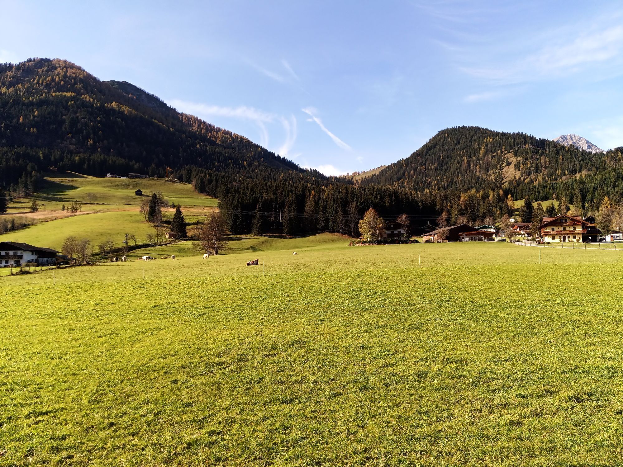
 © Buchegger BarbaraUtworzono dnia 26.01.2026
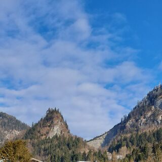 © Buchegger BarbaraUtworzono dnia 26.01.2026
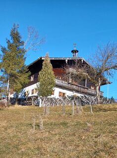
 © tinaUtworzono dnia 29.12.2025
 © Monika JeskovaUtworzono dnia 20.10.2025
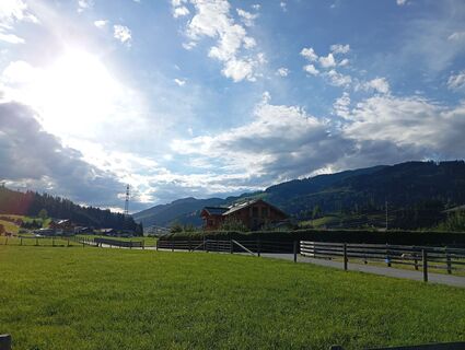
 © Reinhard FlorreitherUtworzono dnia 01.09.2025
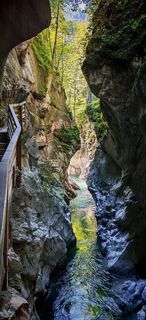
 © ReginaStUtworzono dnia 31.08.2025
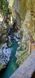 © ReginaStUtworzono dnia 31.08.2025
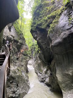 © Krisztina KatonaiUtworzono dnia 03.08.2025
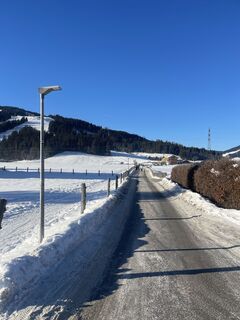
 © Niels van dorssenUtworzono dnia 19.01.2025
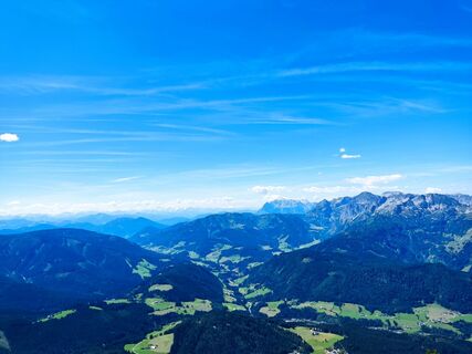
 © RobuCUtworzono dnia 12.08.2023


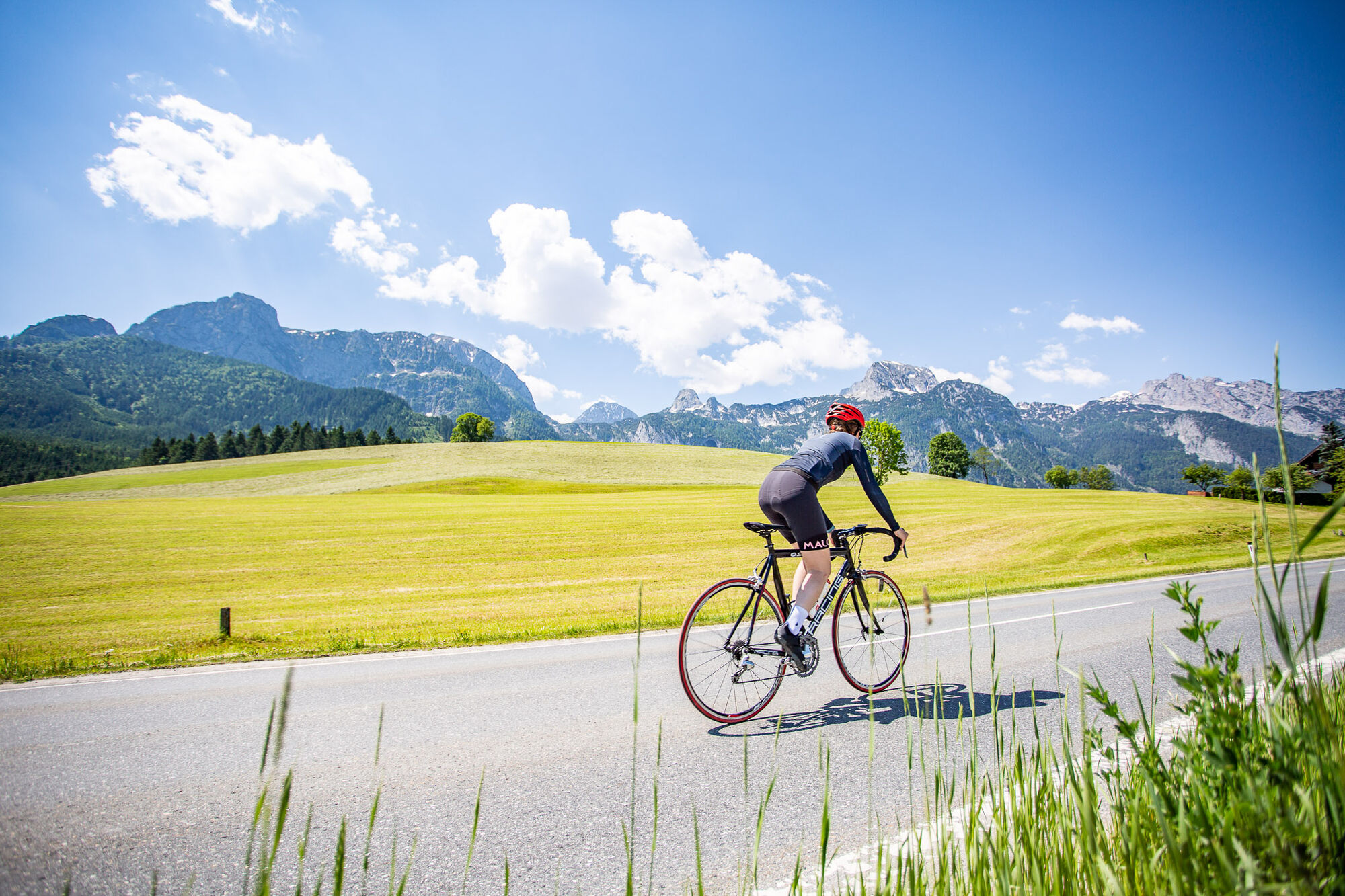
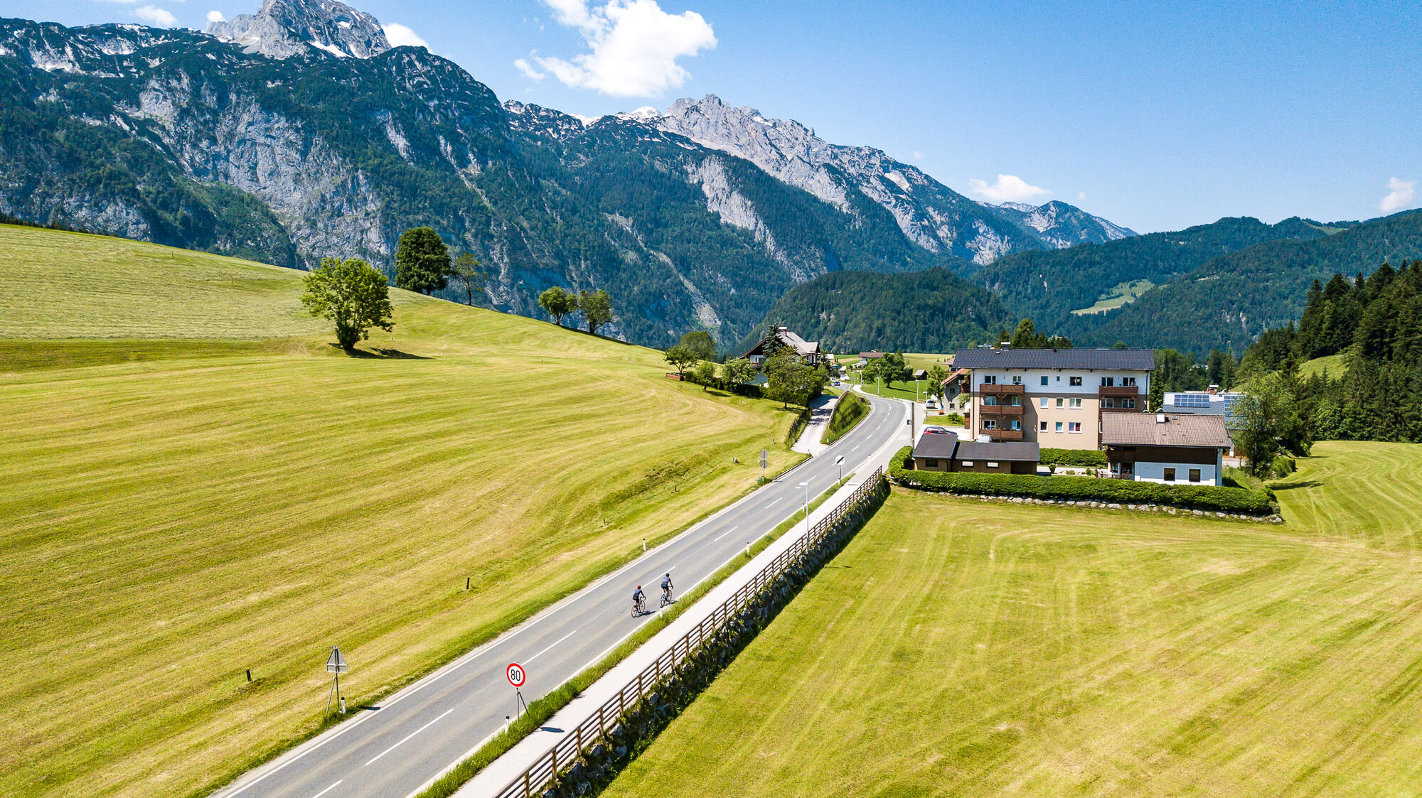
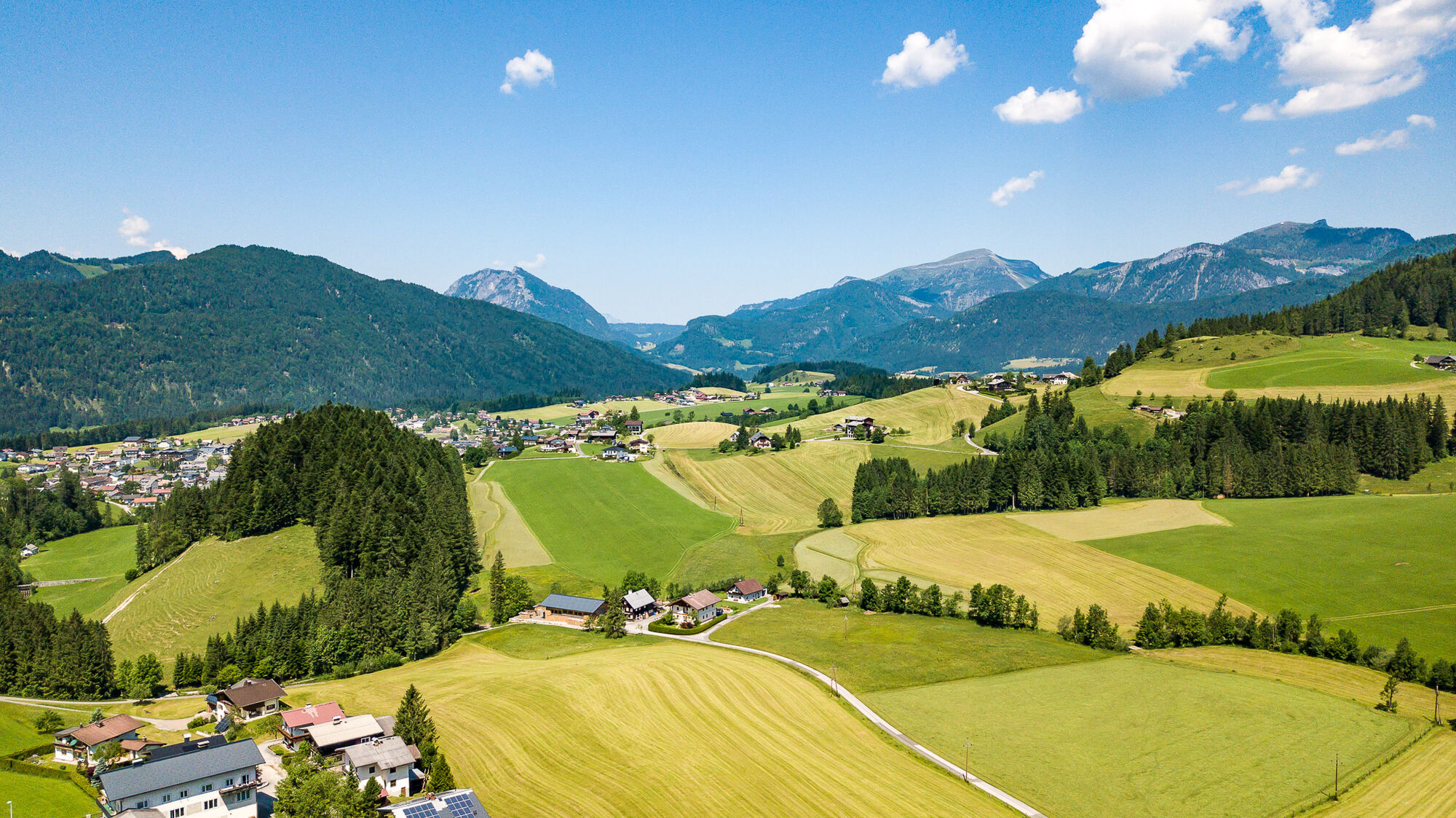
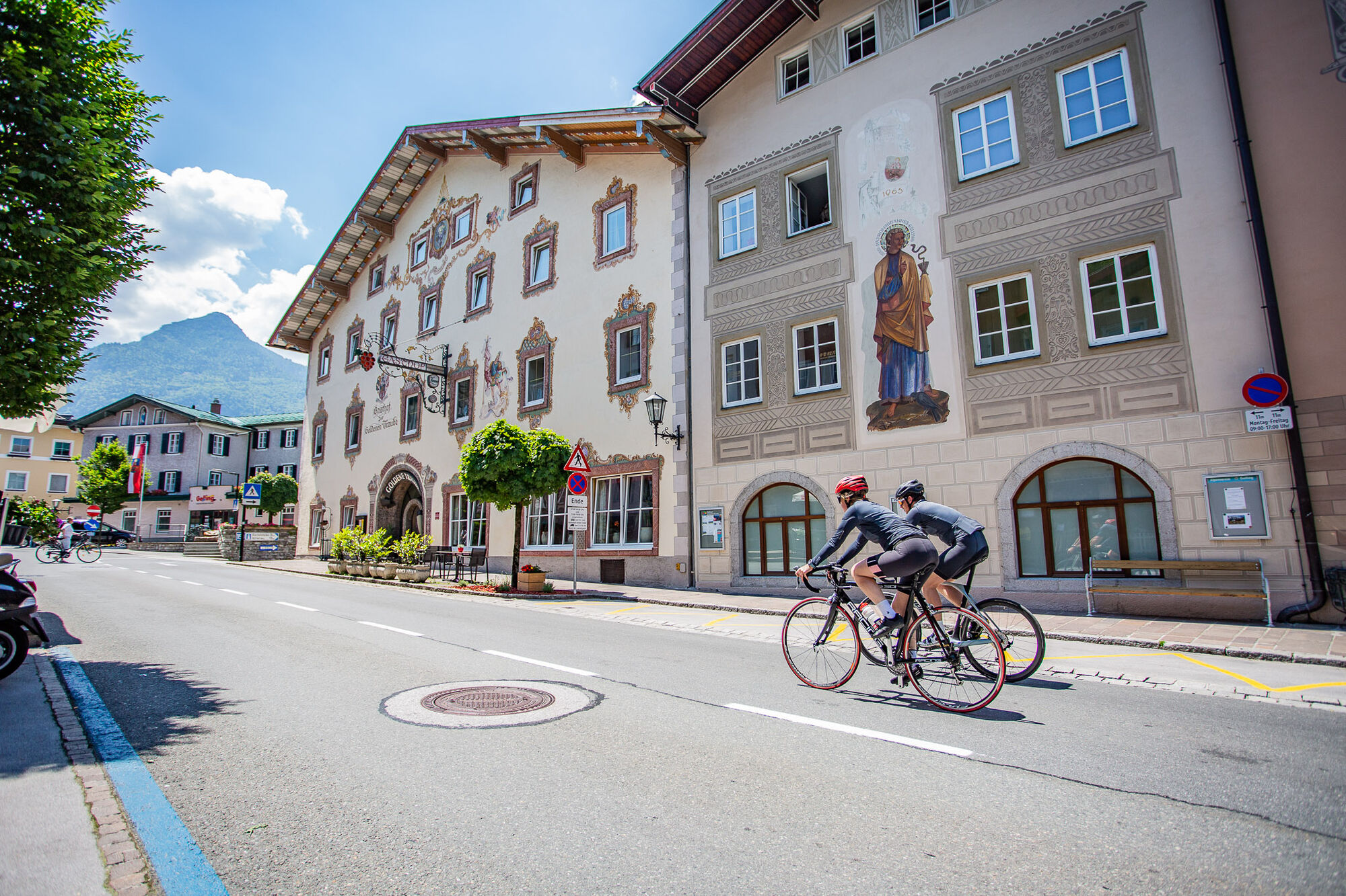
This beautiful tour is suitable for ambitious bikers. In the medium degree of difficulty it goes across the Lammer Valley on a selective country road with great views. A stop in the idyllic town of Abtenau...
This beautiful tour is suitable for ambitious bikers. In the medium degree of difficulty it goes across the Lammer Valley on a selective country road with great views. A stop in the idyllic town of Abtenau or in the old town of Golling is suitable as a stopover.

Translated with www.DeepL.com/Translator (free version)
protective gear enough to drink and eat for inbetween sunglasses, optionally sun cream or rain cover mobile phone
protective gear enough to drink and eat for inbetween sunglasses, optionally sun cream or rain cover mobile phone
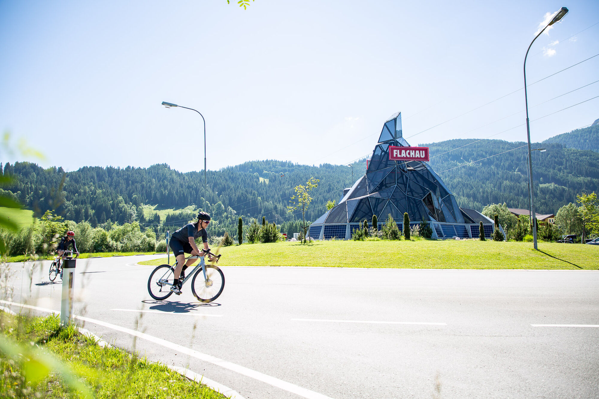
to Flachau Center / Flachau Tourist Office
Parking space near the starting point.
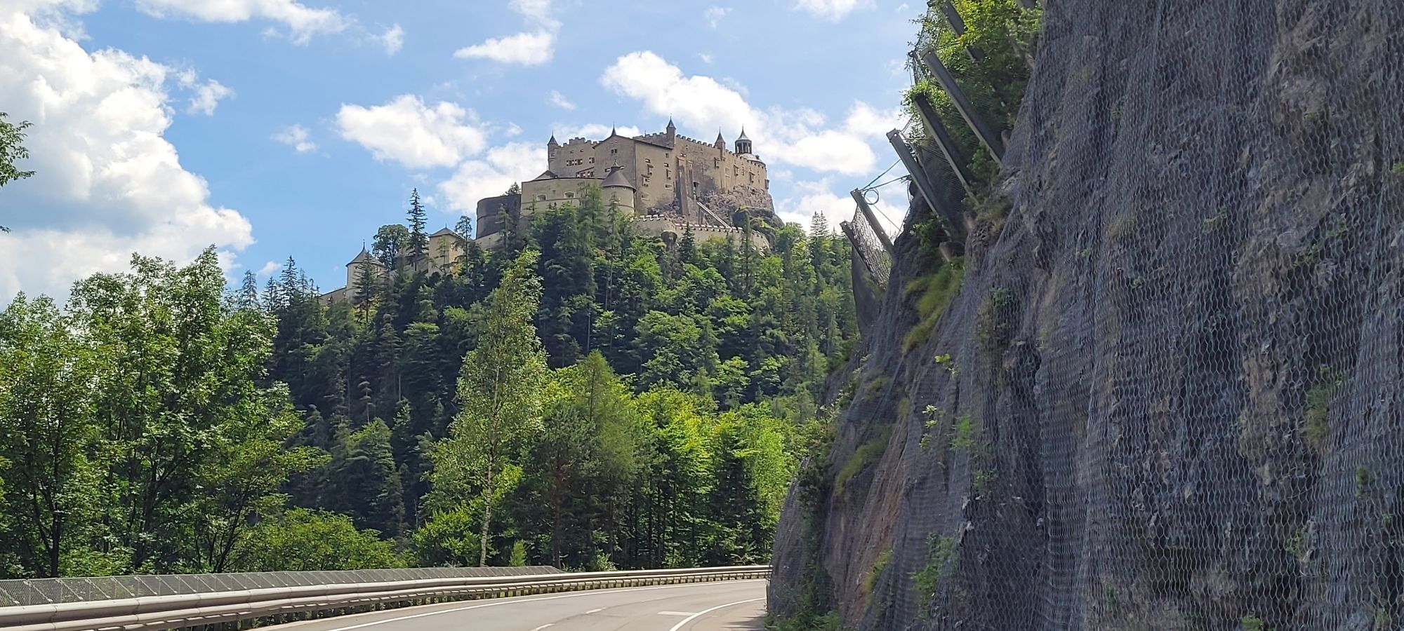
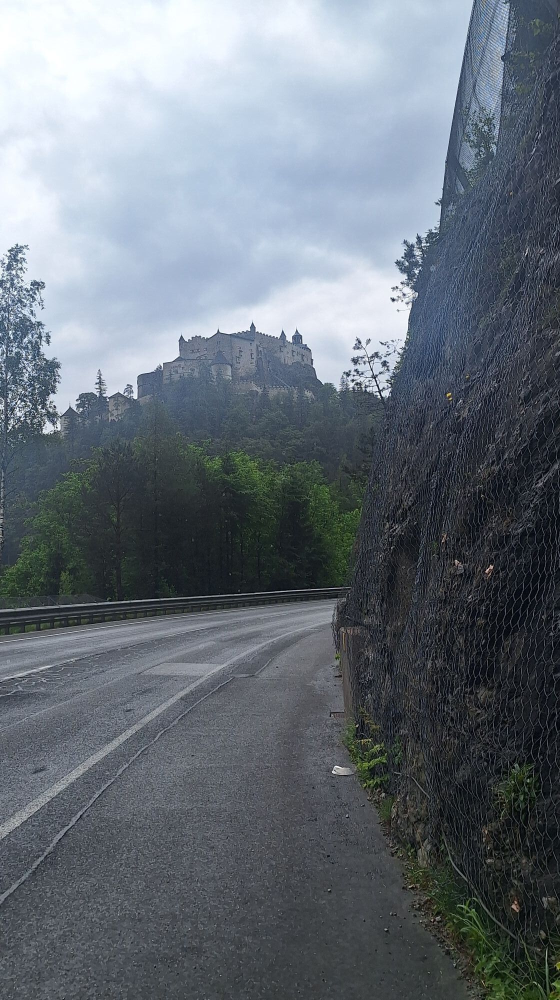
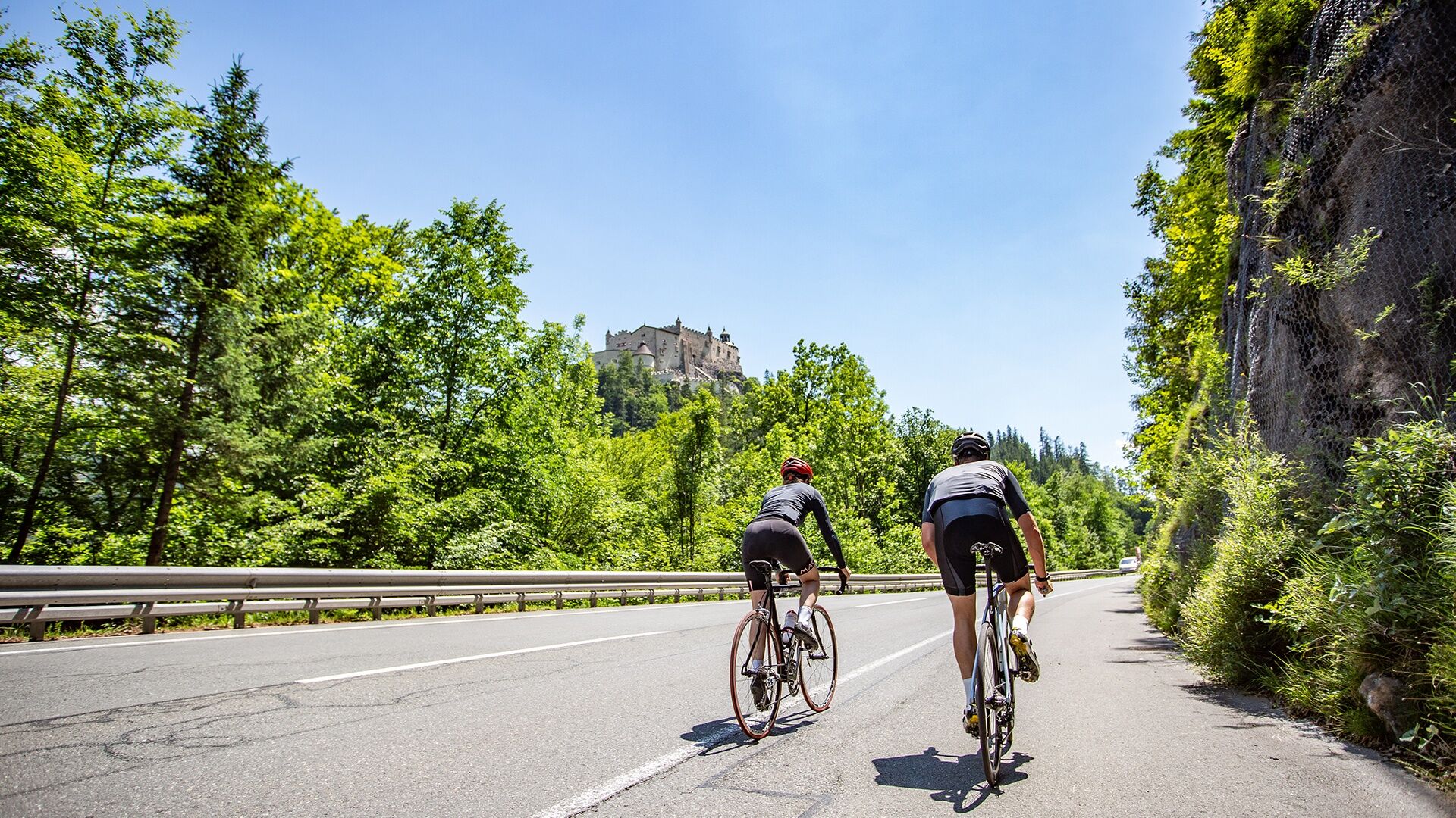
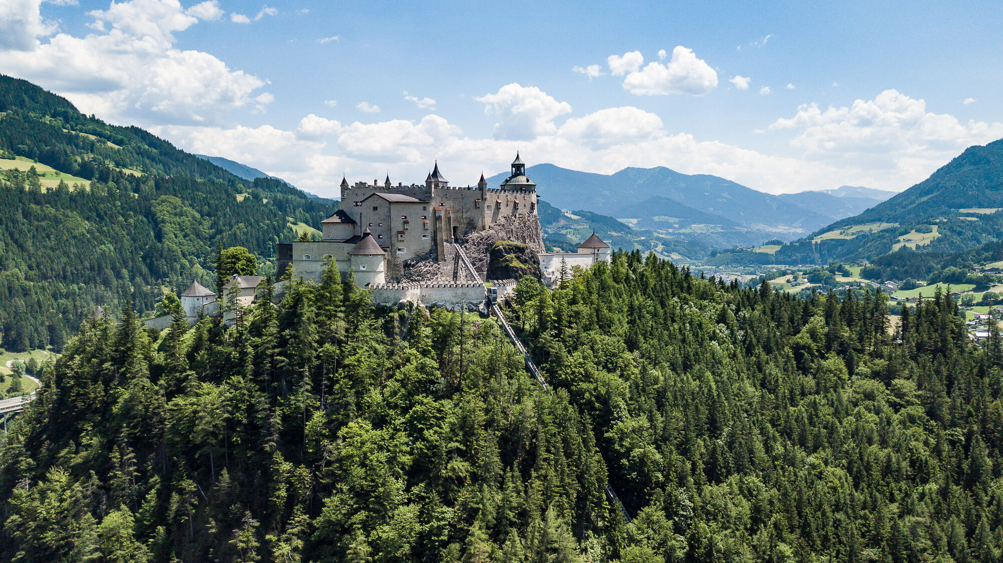
Hohenwerfen Castle is one of the central sights in Pongau. A visit to the castle, which is located directly on the route, is an excellent option.
Kamery internetowe z trasy
Bergstation achterjet
Annaberg-Lungötz
Bischling
Radstadt - Simonyhof
Altenmarkt - Sinnhubbauer
Karkogel - Abtenau
Sankt Martin - Hotel Martinerhof
Sonnleiten - Abtenau
Kemahdhöhe
Zwieselalm Bergstation
Pfarrwerfen Feratel
Talstation 8 EUB
Reitlehenalm
Feriendorf Annaberg
Kemahdhöhe
Kemahdhöhe
Kemahdhöhe
Kemahdhöhe
Bischofshofen-Kreuzberg
Pfarrwerfen
Dachstein West - Donnerkogelbahn
Pfarrwerfen Feratel
Pfarrwerfen Feratel
Pfarrwerfen Feratel
Pfarrwerfen Feratel
Pfarrwerfen Feratel
Pfarrwerfen Feratel
Pfarrwerfen Feratel
Bischling
Bischling
Bischling
Bischling
Bischling
Bischling
Bischling
Talstation 8 EUB
Talstation 8 EUB
Talstation 8 EUB
Talstation 8 EUB
Talstation 8 EUB
Popularne wycieczki w okolicy
- 4,7
Tour around the Gosaukamm
średniWędrówka 20,9 km - 3,6
Wanderung zur Ostpreußenhütte in Werfen (1.630 m)
średniWędrówka 11,2 km - 4,9
Werfenweng Mountainbikerunde Söldenhütte
średniMountainbike 18,8 km - 4,7
Mühlenweg und Winnerfall Scheffau am Tennengebirge
średniWędrówka 4,79 km - 4,6
Donnerkogel vom Gosausee mit Intersport Klettersteig C/D und Himmelsleiter
ciężkiVia ferrata 7,70 km - 3,9
To the Ostpreussenhütte
średniWędrówka 16,6 km - 3,6
Salzburger Gipfelspiel: To the Gerzkopf and the Schwarzen Lacke
średniWędrówka 8,39 km - 4,6
Wengerau - Tauernkogel - Eiskogel - Napf - Wengerau
średniWycieczka wysokogórska 15,5 km - 4,9
Abtenau: Taborberg (7 points)
średniWędrówka 3,52 km - 4,6
From the lake Gosau to the Zwieselalm
ciężkiWędrówka 3,07 km

Wędrówki i tropienie


Nie przegap ofert i inspiracji na następne wakacje
Twój adres e-mail została dodana do listy mailingowej.