







Jägersee

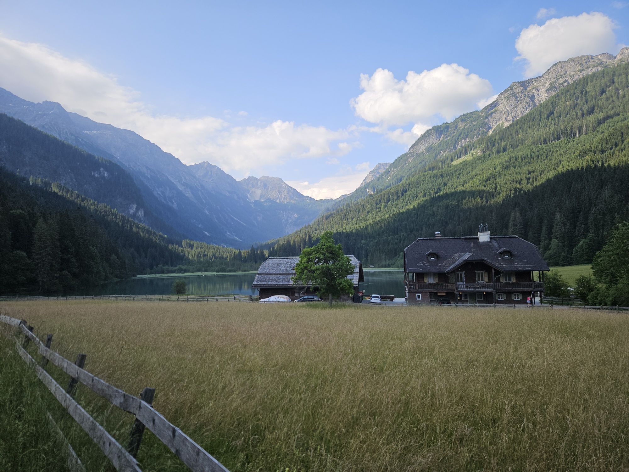
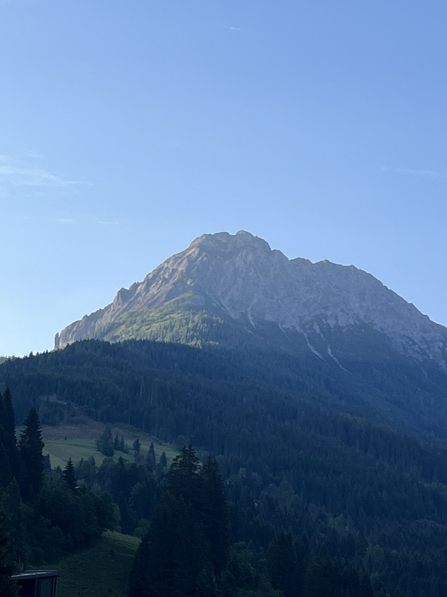
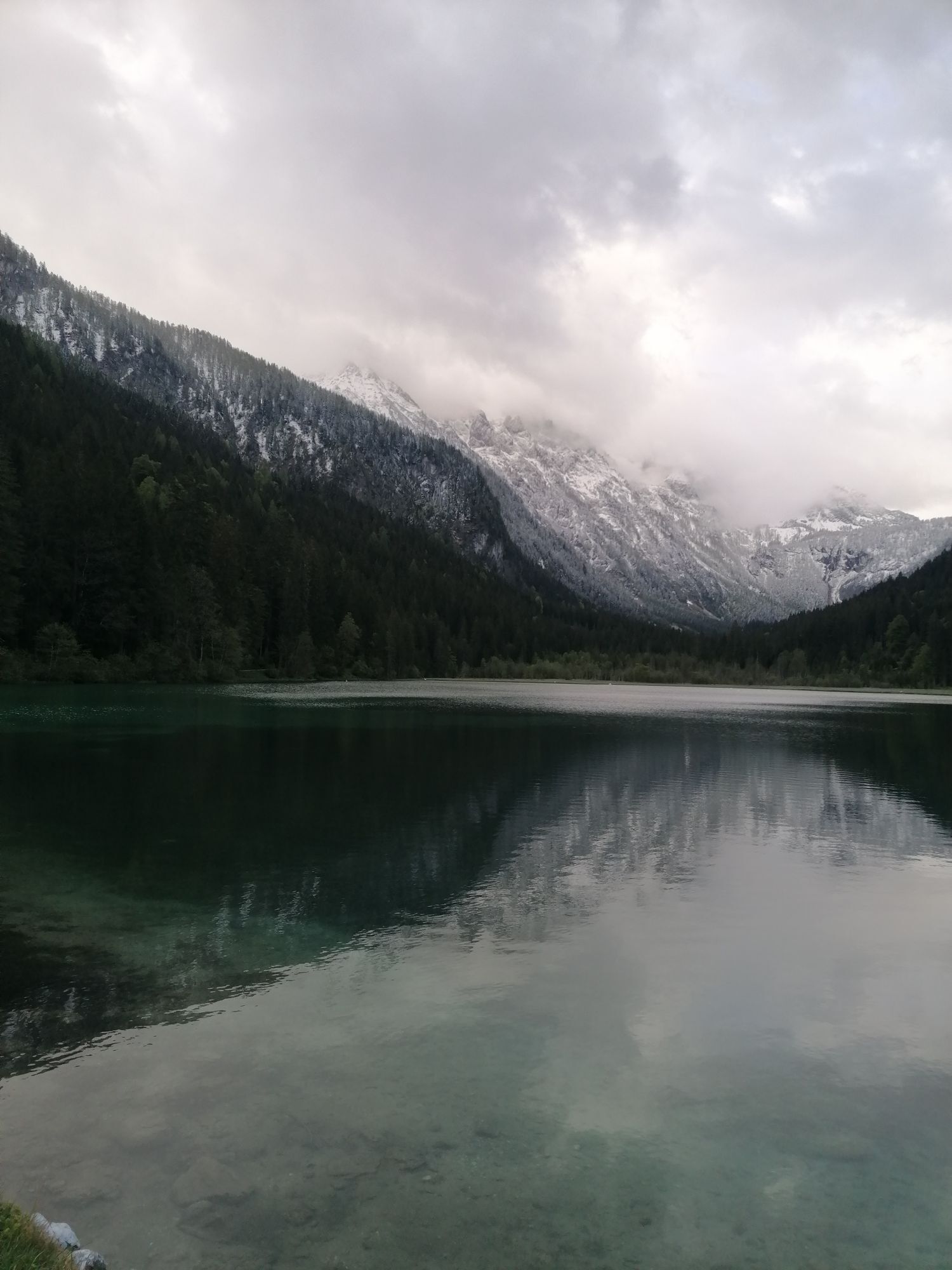
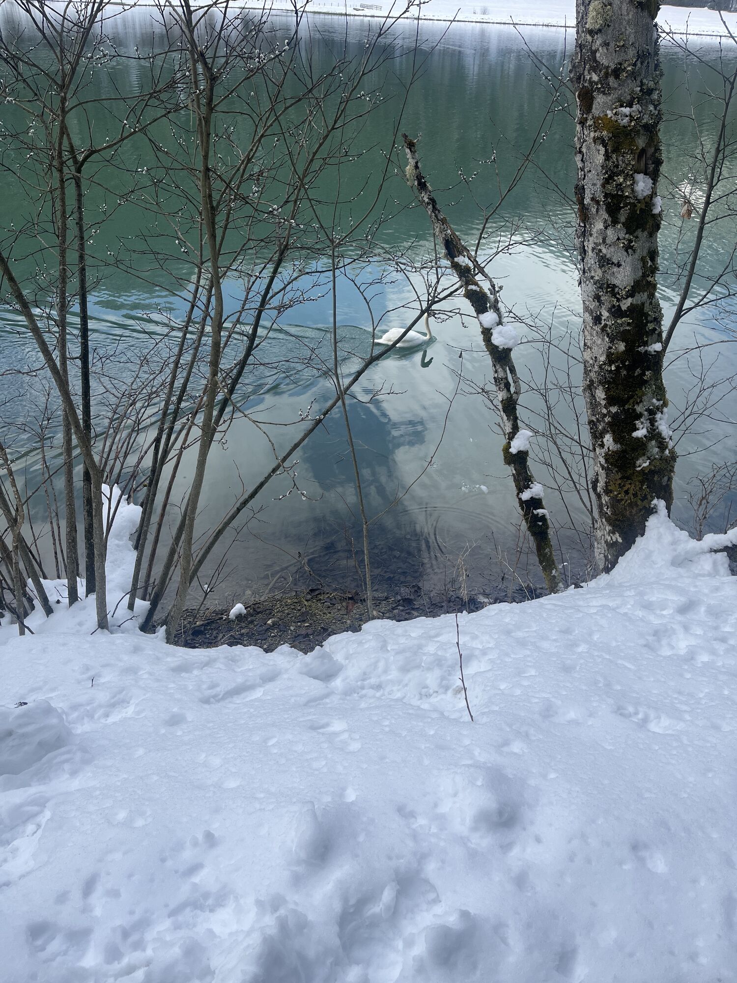
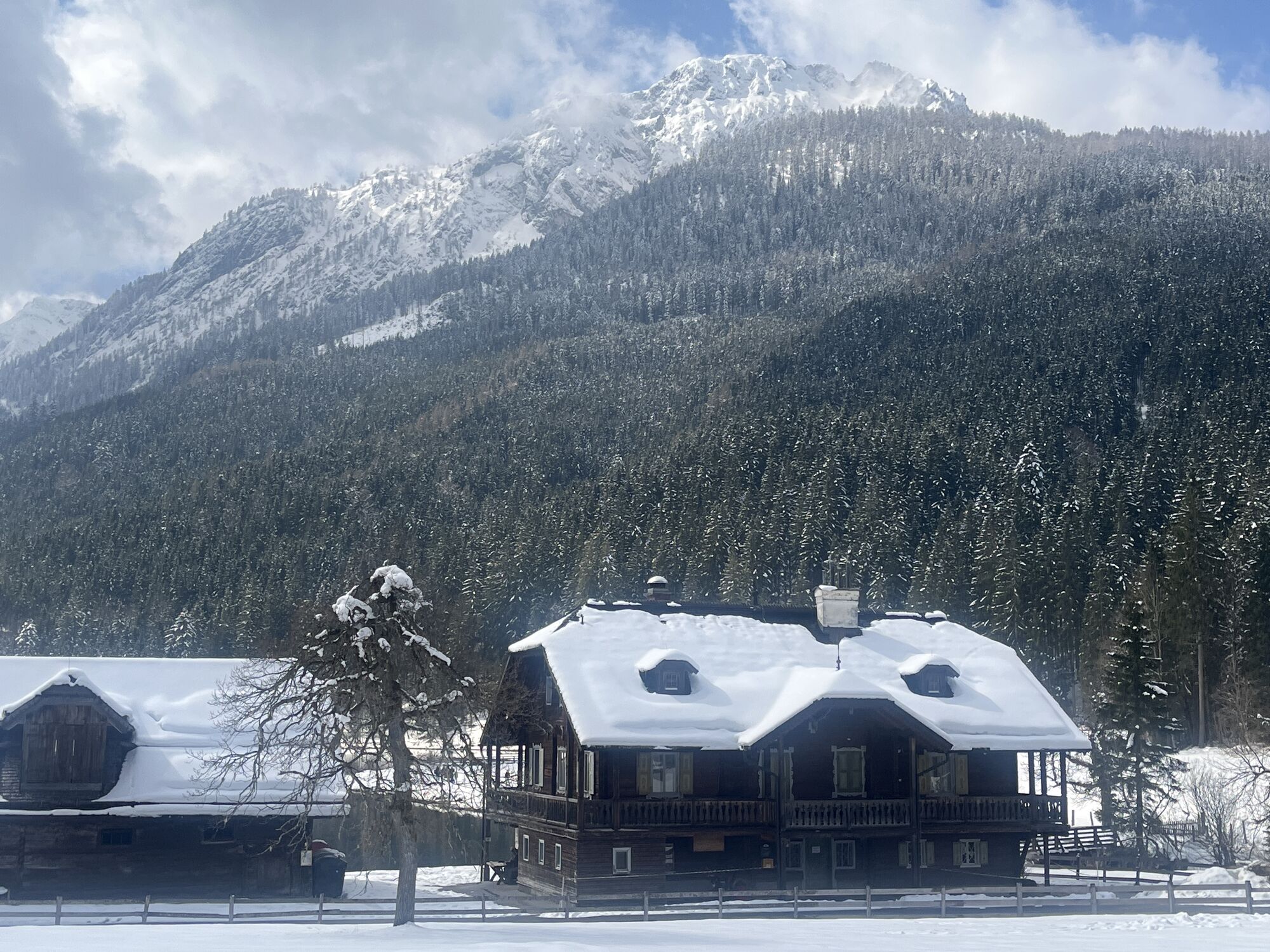
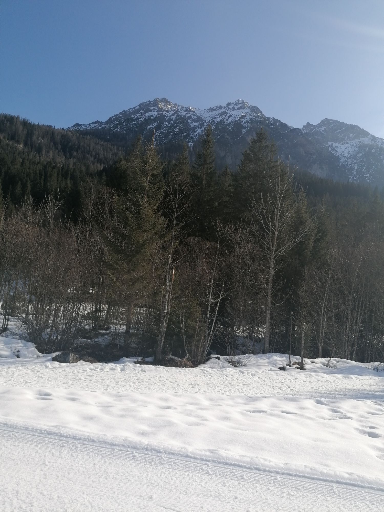
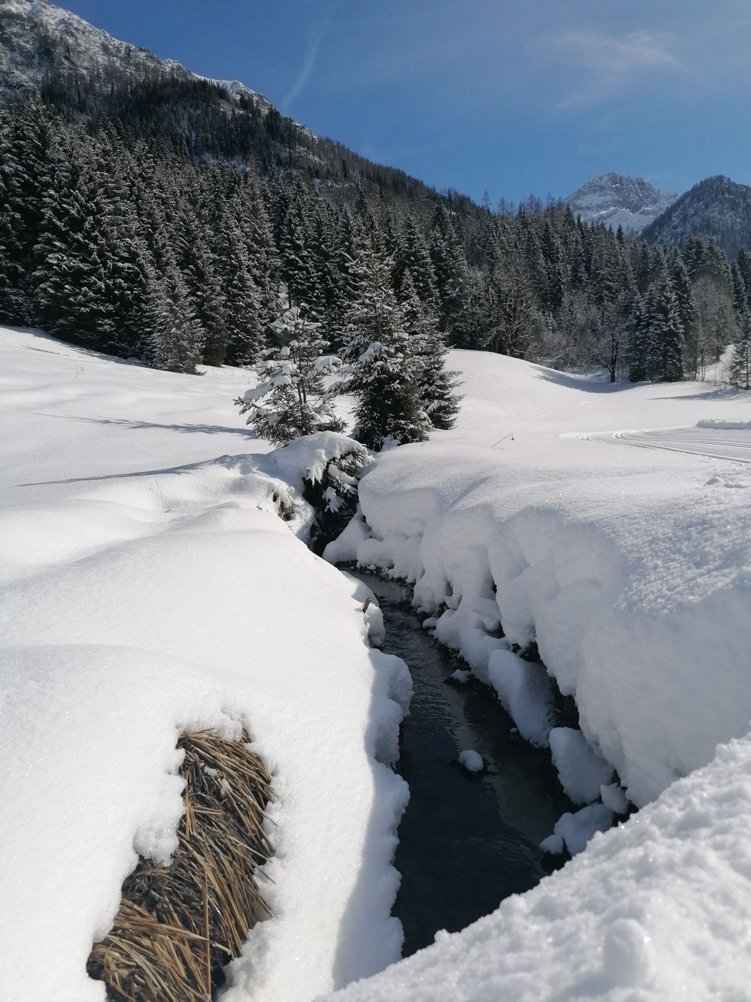
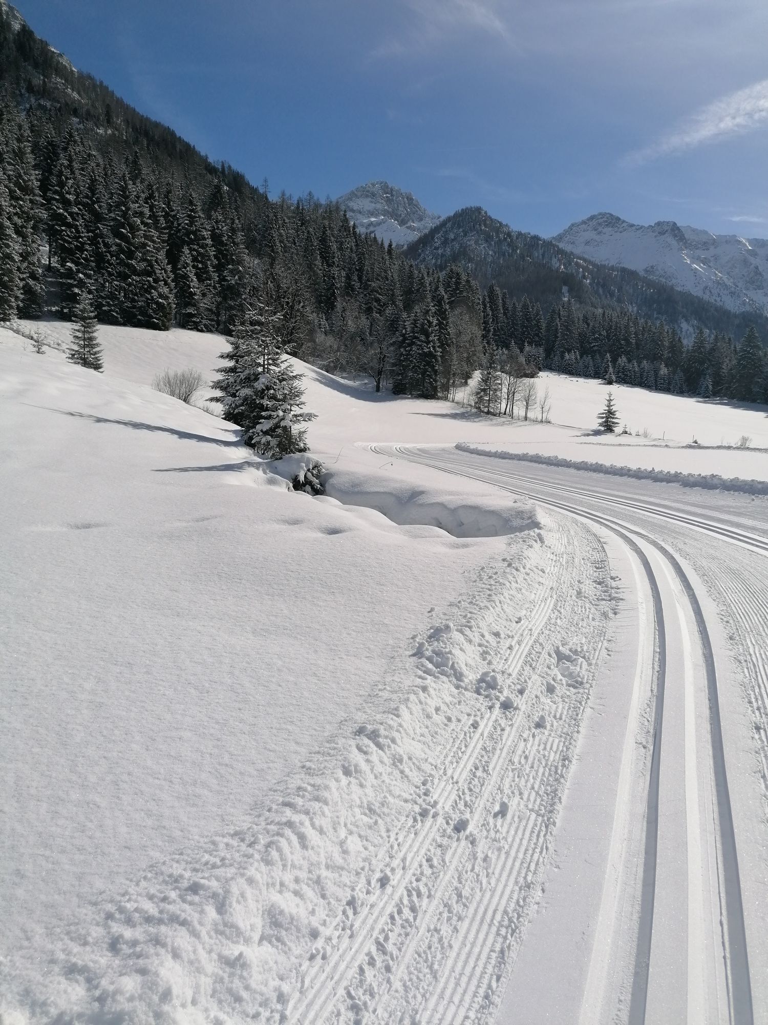
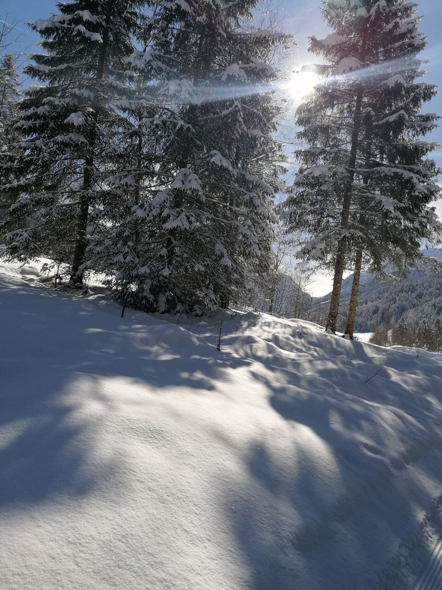
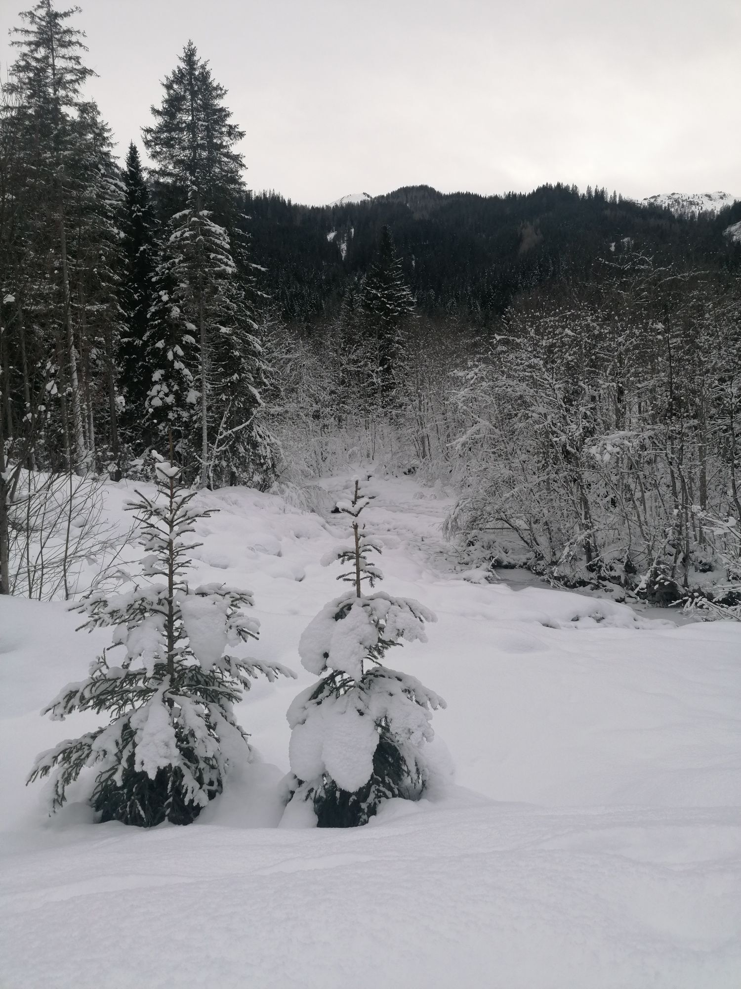
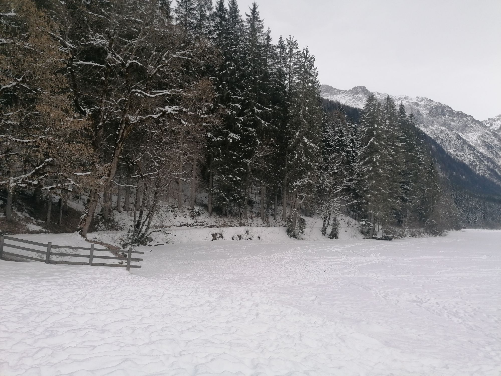
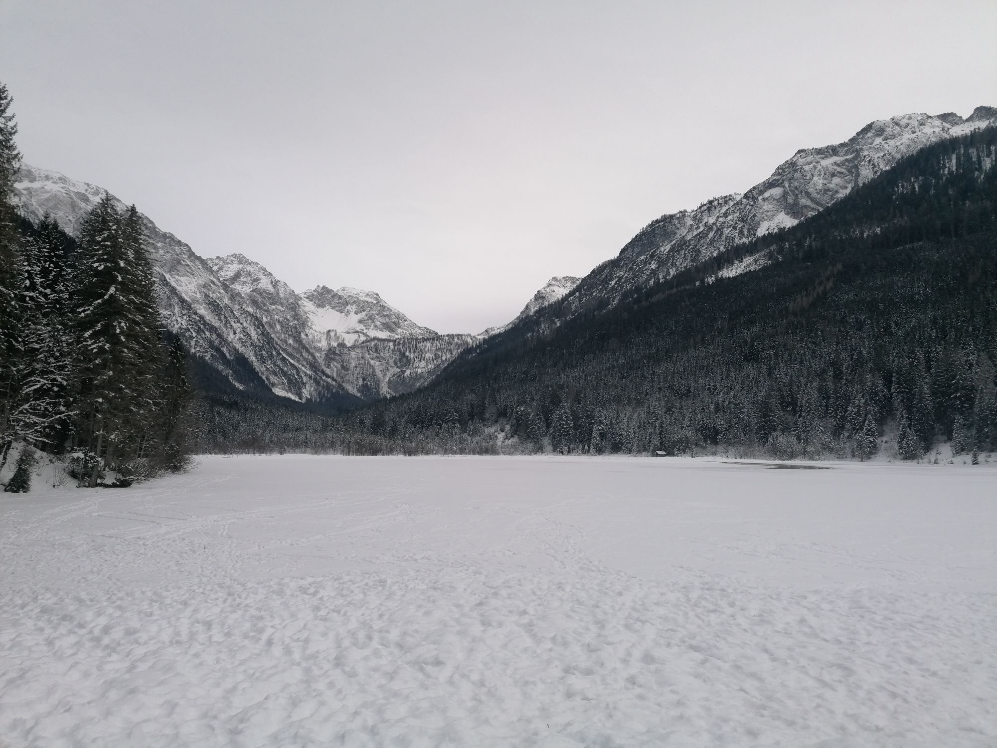
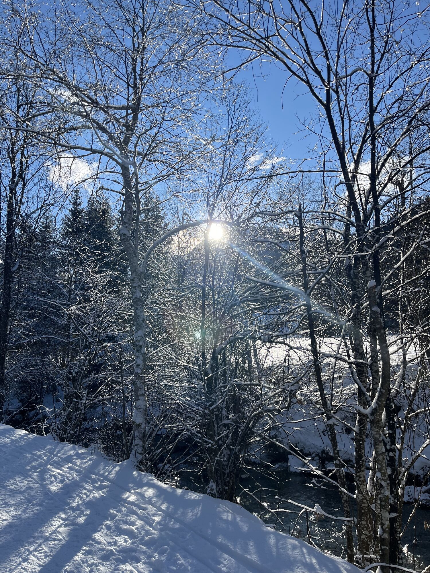

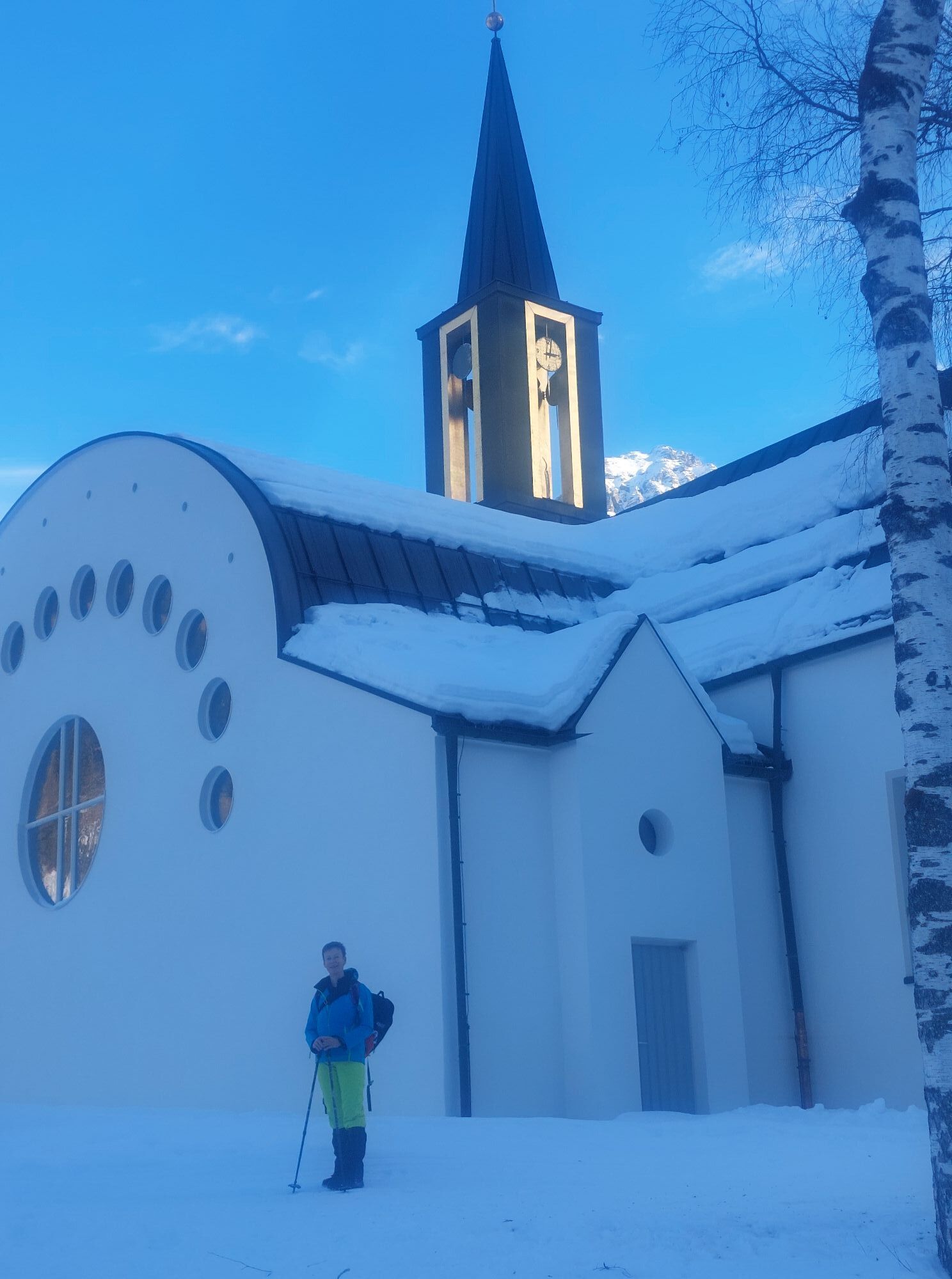
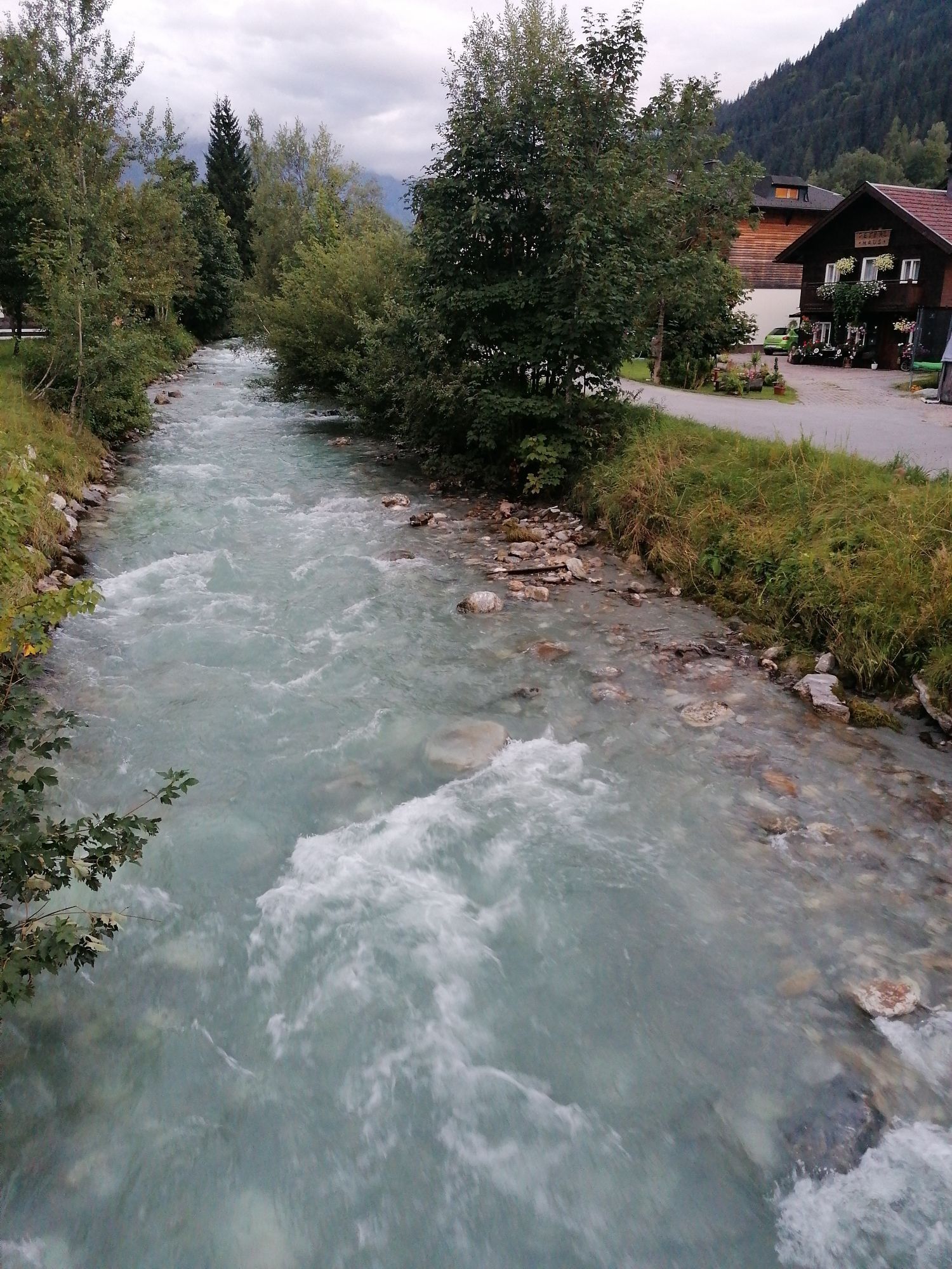


Day e-bike route to the natural experience Jägersee in Kleinarl. The route mostly follows bike paths, about two-thirds is on the road. Many dining options of all kinds are located along this e-bike route...
Day e-bike route to the natural experience Jägersee in Kleinarl. The route mostly follows bike paths, about two-thirds is on the road. Many dining options of all kinds are located along this e-bike route via Wagrain and Kleinarl.

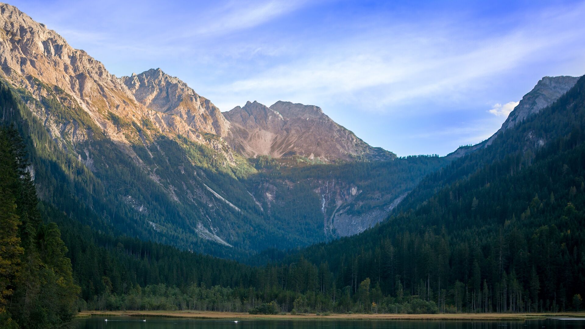

From the village square, we ride towards Altenmarkt. After the railway crossing, turn right onto the bike path along the B99 to the railway underpass at Sinnhubbauer. After the new bridge, turn right onto the "Ennsradweg." Follow this to the roundabout in Flachau, take the underpass, cross the street, and ride on the bike path towards Specherlifte. Again take the underpass at the roundabout and ride on the bike path next to the road to Wagrain / district Hof. From there, stay on the road until the market church Wagrain. After the market church, turn left towards Kleinarl and follow the road to Kleinarl. At Brandstattweg, turn left and take the bike-hiking path to the bridge at Pausshof. From there, follow the road for 1 km and turn right at Sport Wedl, continuing on the bike-hiking path to the lake. At the inn directly on the lake, you can enjoy culinary delights with fish or game.
Tak

Kamery internetowe z trasy
-
Bergstation achterjet
-
Gernkogel - Alpendorf St. Johann
-
Radstadt - Simonyhof
-
Altenmarkt - Sinnhubbauer
-
Kemahdhöhe
-
Chill House / Jib Park
-
Bergstation Bubble Shuttle - Powder Shuttle
-
Reitlehenalm
-
Kemahdhöhe
-
Kemahdhöhe
-
Kemahdhöhe
-
Altenmarkt - Habersatt
-
Gernkogel - Alpendorf St. Johann
-
Gernkogel - Alpendorf St. Johann
-
Lumberjack Shuttle
-
Radstadt - Wasserwerk
-
Ferienbauernhof Habersattgut
-
Wagrain / Hotel Wagrainerhof
-
Mooslehen Berg
-
Snow Space Salzburg - Flying Mozart
-
Großarl - Loosbühelalm
-
Gernkogel - Alpendorf St. Johann
-
Gernkogel - Alpendorf St. Johann
-
Gernkogel - Alpendorf St. Johann
-
Gernkogel - Alpendorf St. Johann
-
Snow Space Salzburg - woom bike area
-
Flying Mozart Bergstation

Popularne wycieczki w okolicy
-
5,0
Hüttschlag: Karteistörl - Tappenkarsee - Draugsteintörl - Draugsteinalmen
średniWędrówka 13,5 km -
5,0
Strimskogel-Runde
Wędrówka 13 km -
4,9
4-Gipfel-Tour
średniWycieczki górskie 6,40 km -
4,9
Großarl: Aualm - Liechtensteinkopf - Aukopf - Schuhflicker - Schuhflickersee
średniWędrówka 5,84 km -
4,9
Großarl: Heukareck
średniWędrówka 12,5 km -
4,2
Tappenkarsee Kleinarl
średniWędrówka 9,11 km -
5,0
Großarl: Alpine pasture circuit in Ellmautal
średniWędrówka 9,69 km -
4,6
Großarl: Mooslehenalm – Niggeltalalm – Viehhausalm
średniWędrówka 5,44 km -
4,8
Obertauern to the Johannes Waterfall
średniWędrówka 9,39 km -
4,6
Ski route Lackenkogel
średniWycieczka narciarska 7,82 km
Wędrówki i tropienie


Nie przegap ofert i inspiracji na następne wakacje
Twój adres e-mail została dodana do listy mailingowej.





