


e-bike route - large Bürglalm loop via Sunnhüttl
Poziom trudności: 3


Zdjęcia naszych użytkowników

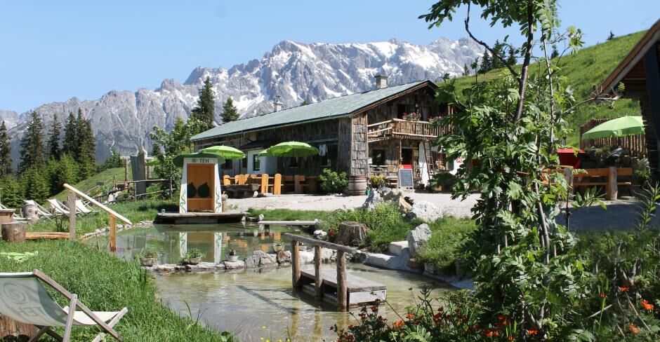
 © feinschmeckerontourUtworzono dnia 04.07.2024
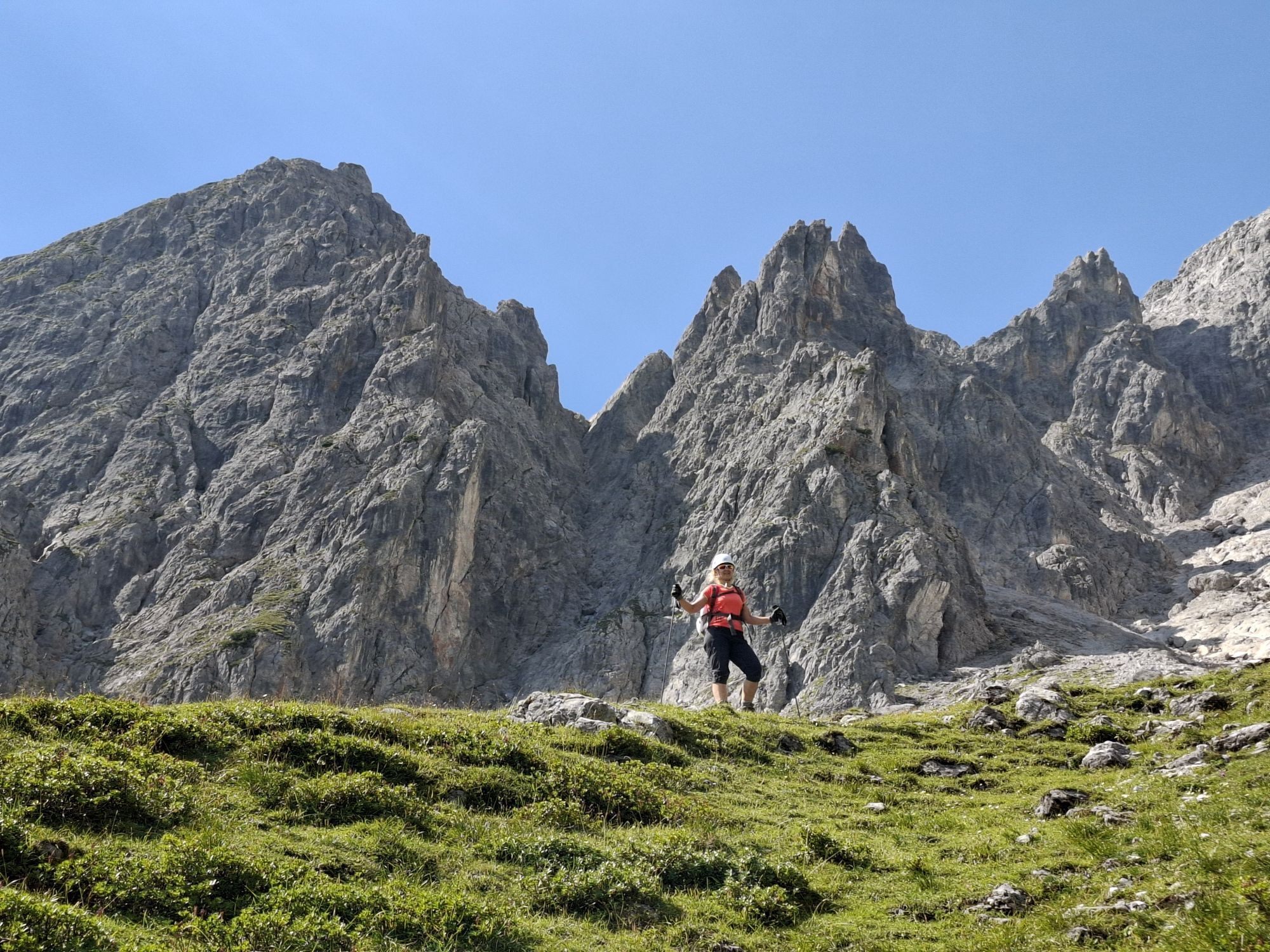
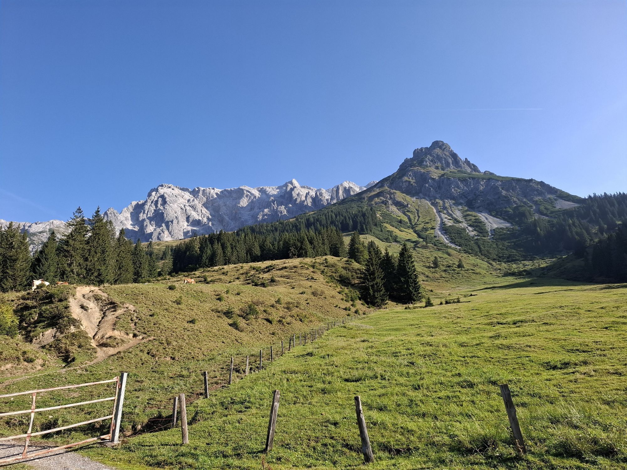
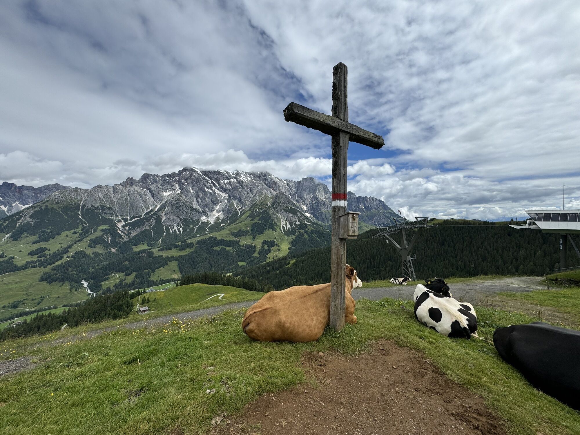
 © Klaus NeuholdUtworzono dnia 02.09.2024
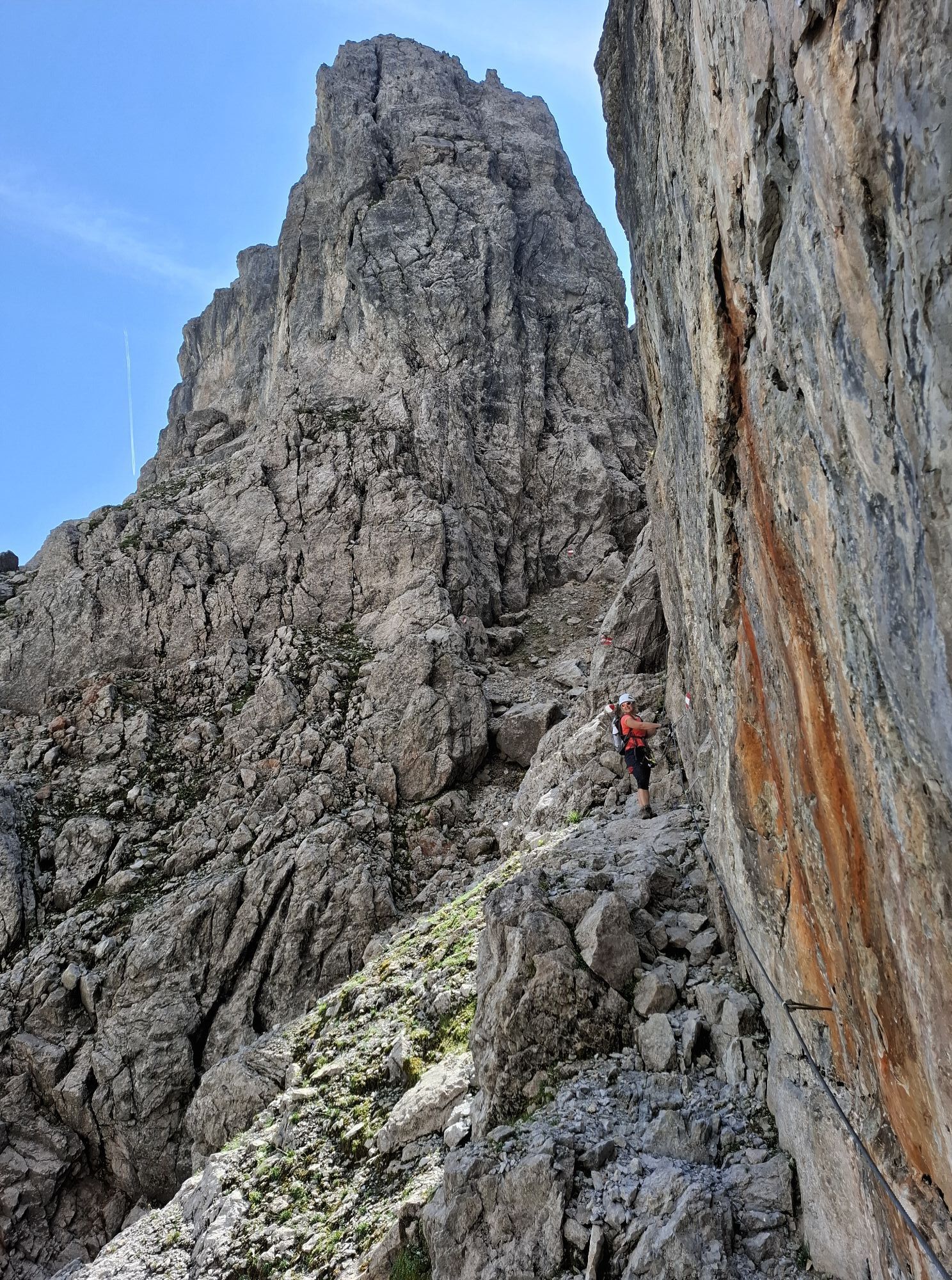
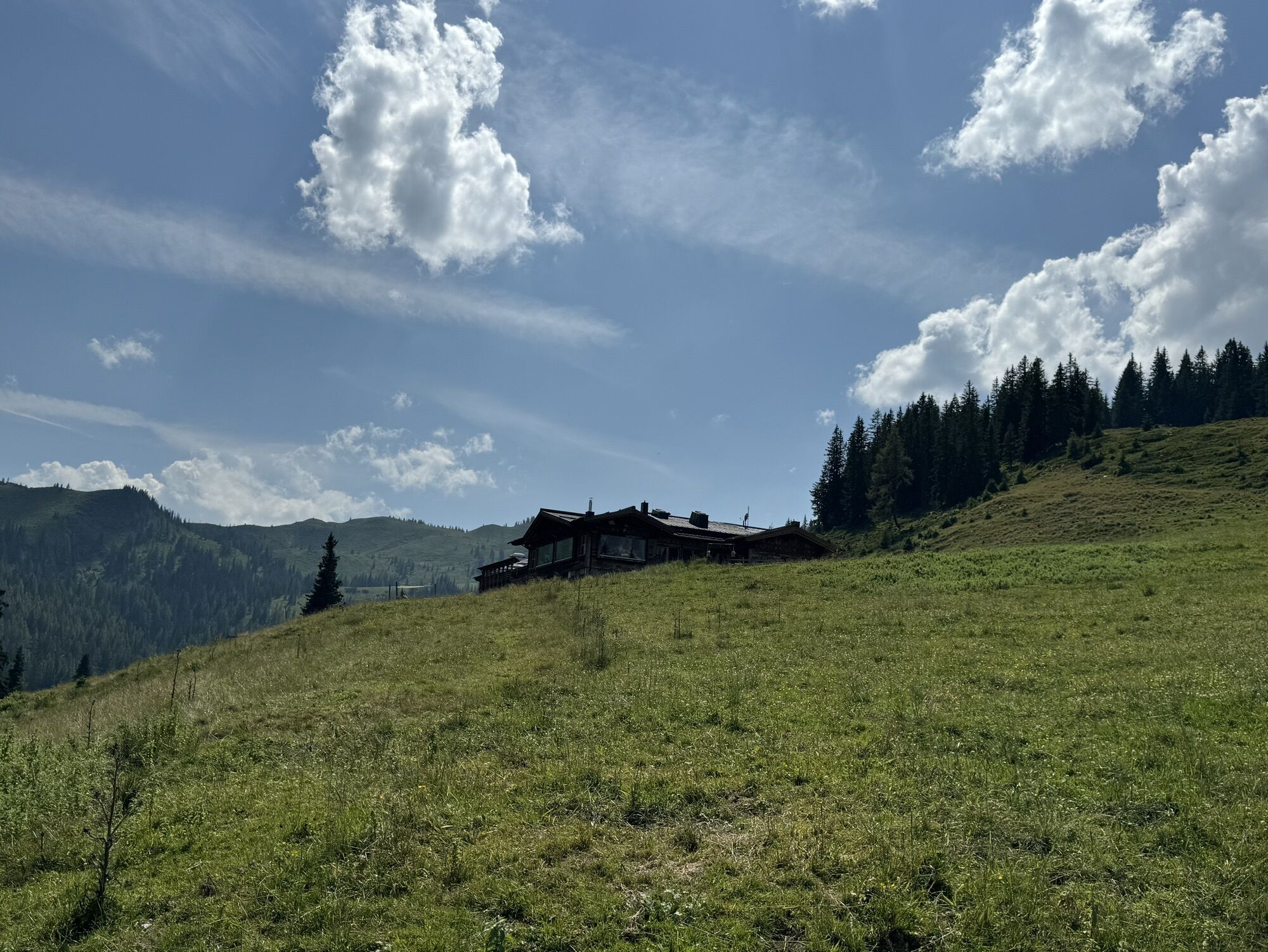
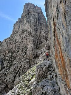 © Klaus NeuholdUtworzono dnia 02.09.2024
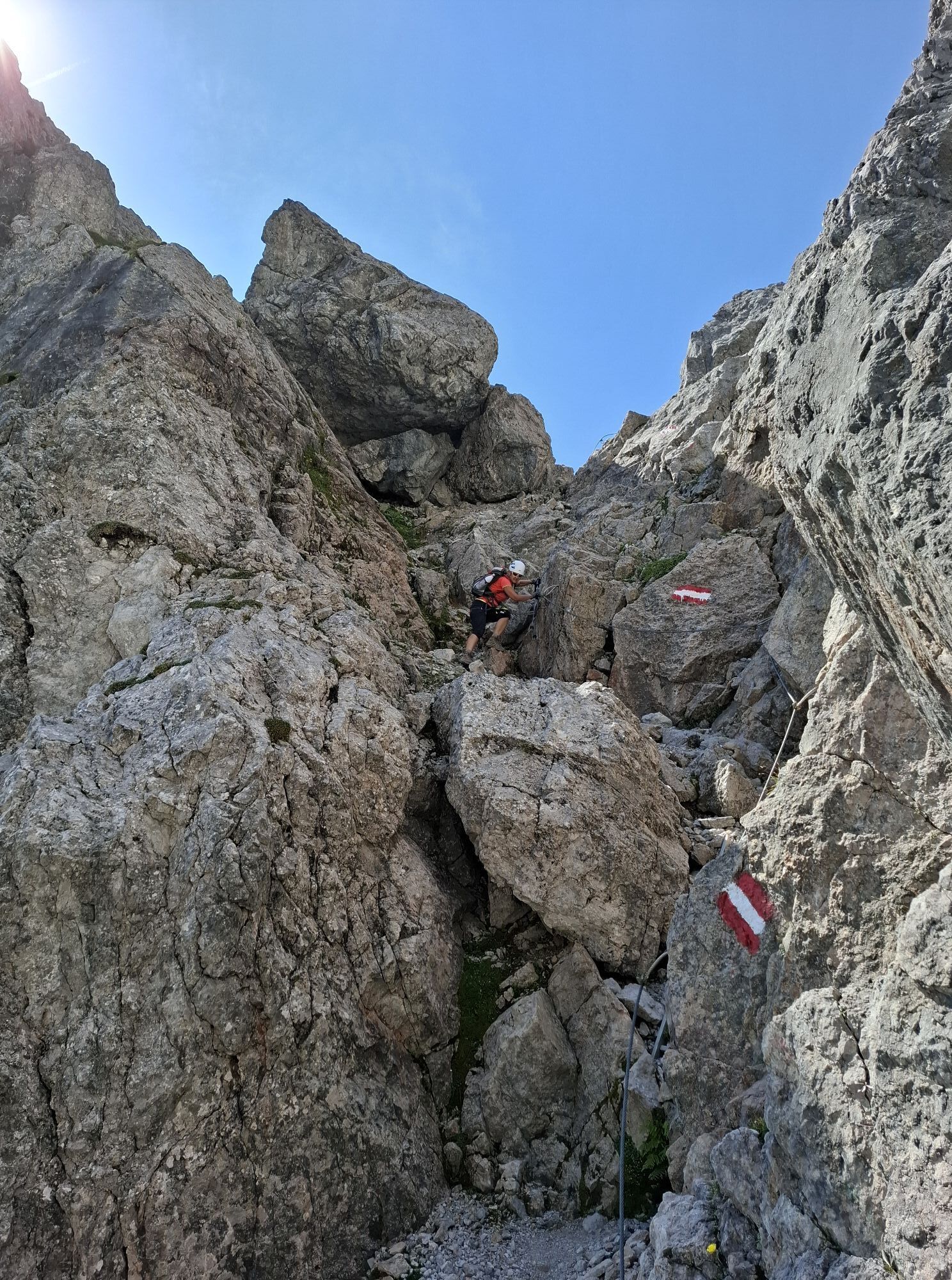
 © Klaus NeuholdUtworzono dnia 02.09.2024
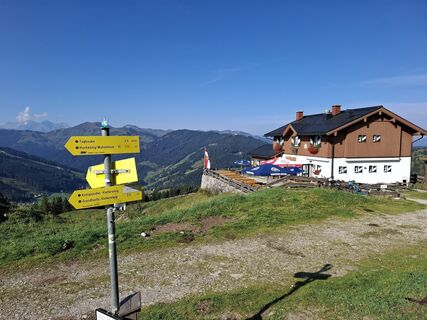 © Klaus NeuholdUtworzono dnia 02.09.2024
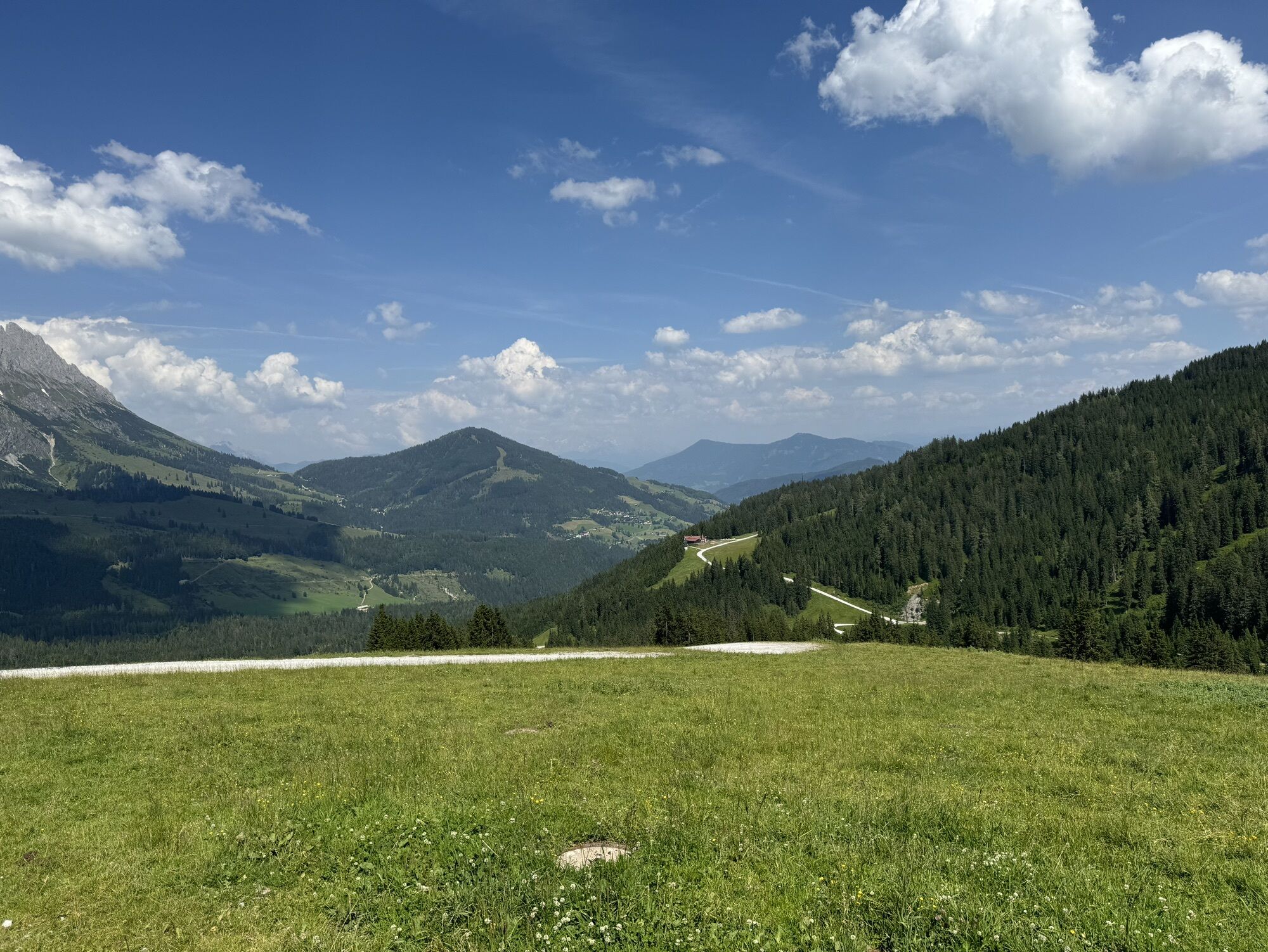
 © Klaus NeuholdUtworzono dnia 02.09.2024
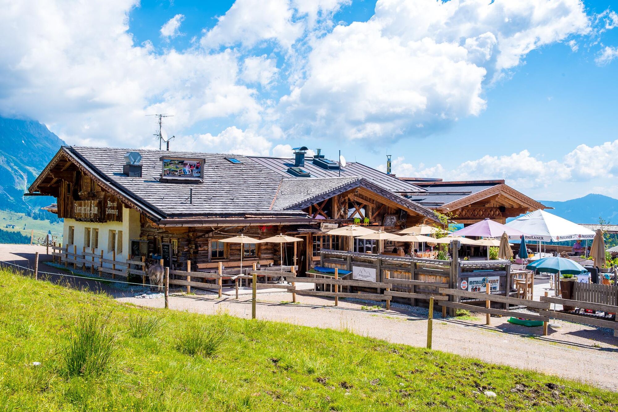
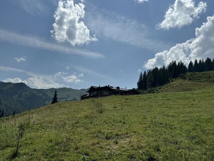 © feinschmeckerontourUtworzono dnia 10.07.2024
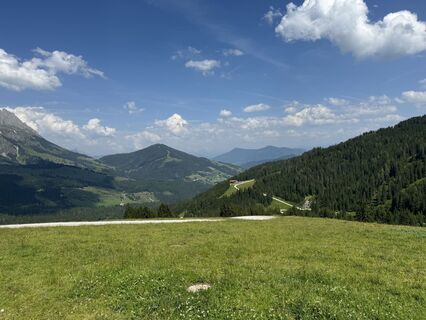 © feinschmeckerontourUtworzono dnia 10.07.2024
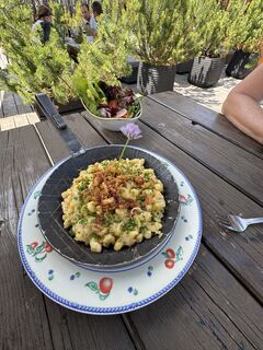 © feinschmeckerontourUtworzono dnia 10.07.2024
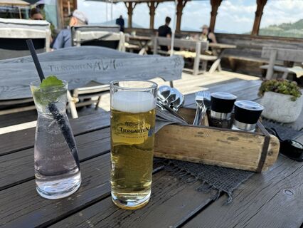 © feinschmeckerontourUtworzono dnia 10.07.2024
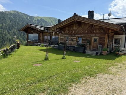 © feinschmeckerontourUtworzono dnia 10.07.2024
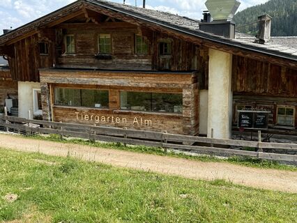 © feinschmeckerontourUtworzono dnia 10.07.2024
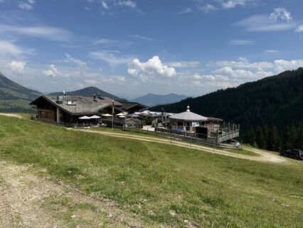 © feinschmeckerontourUtworzono dnia 10.07.2024
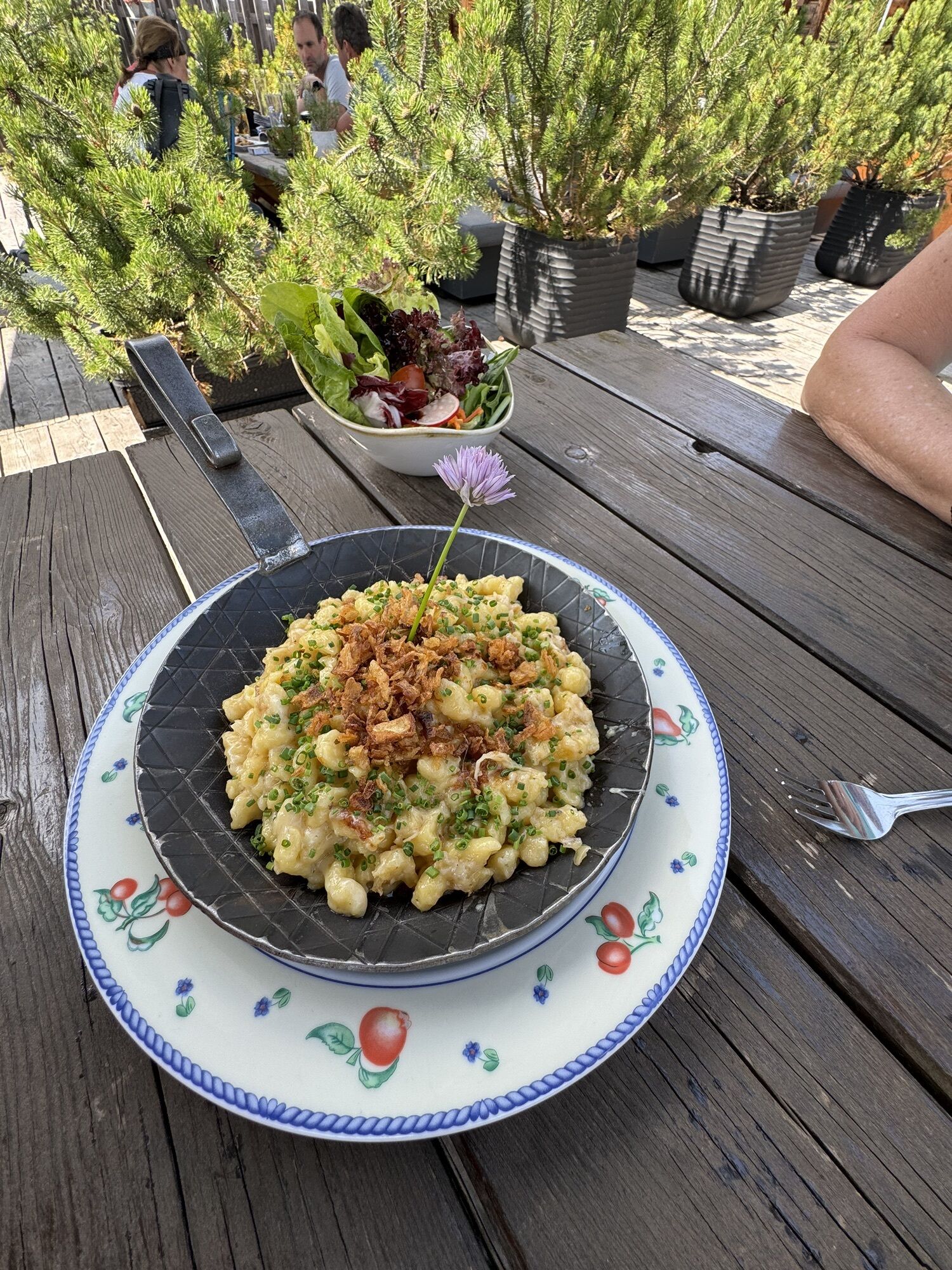
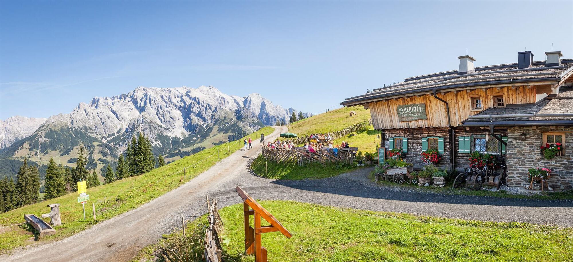
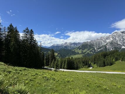 © feinschmeckerontourUtworzono dnia 04.07.2024
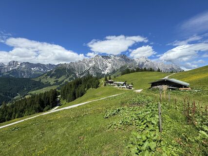 © feinschmeckerontourUtworzono dnia 04.07.2024
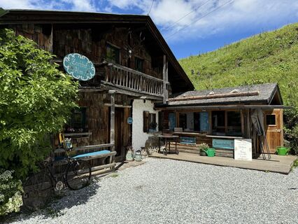 © feinschmeckerontourUtworzono dnia 04.07.2024
 © feinschmeckerontourUtworzono dnia 04.07.2024
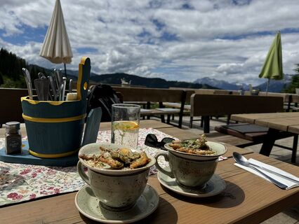 © feinschmeckerontourUtworzono dnia 04.07.2024
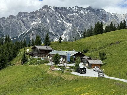 © feinschmeckerontourUtworzono dnia 04.07.2024
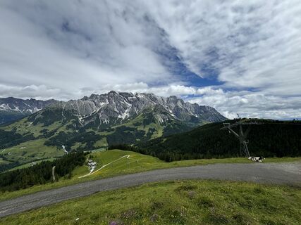 © feinschmeckerontourUtworzono dnia 04.07.2024
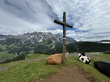 © feinschmeckerontourUtworzono dnia 04.07.2024
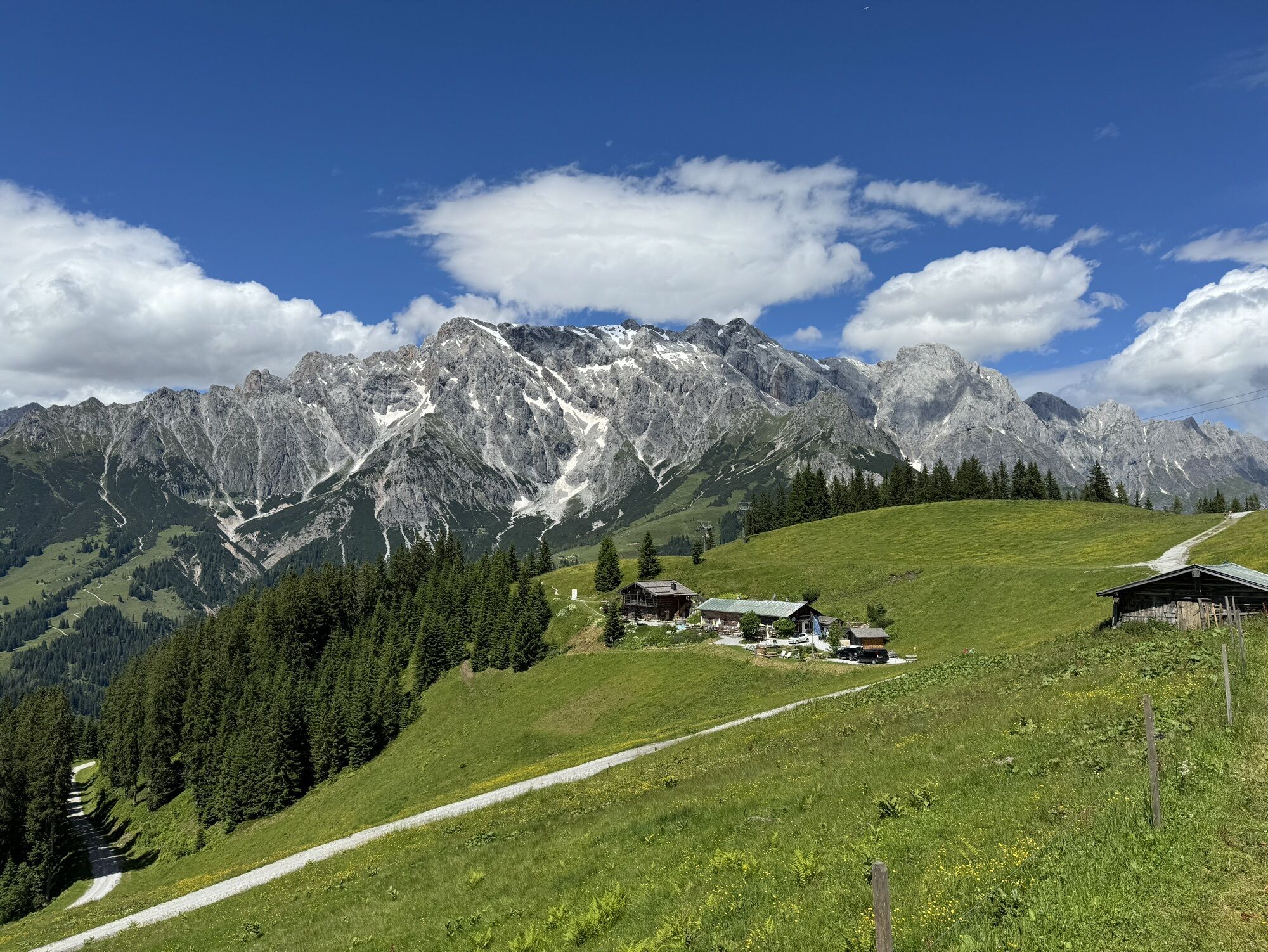


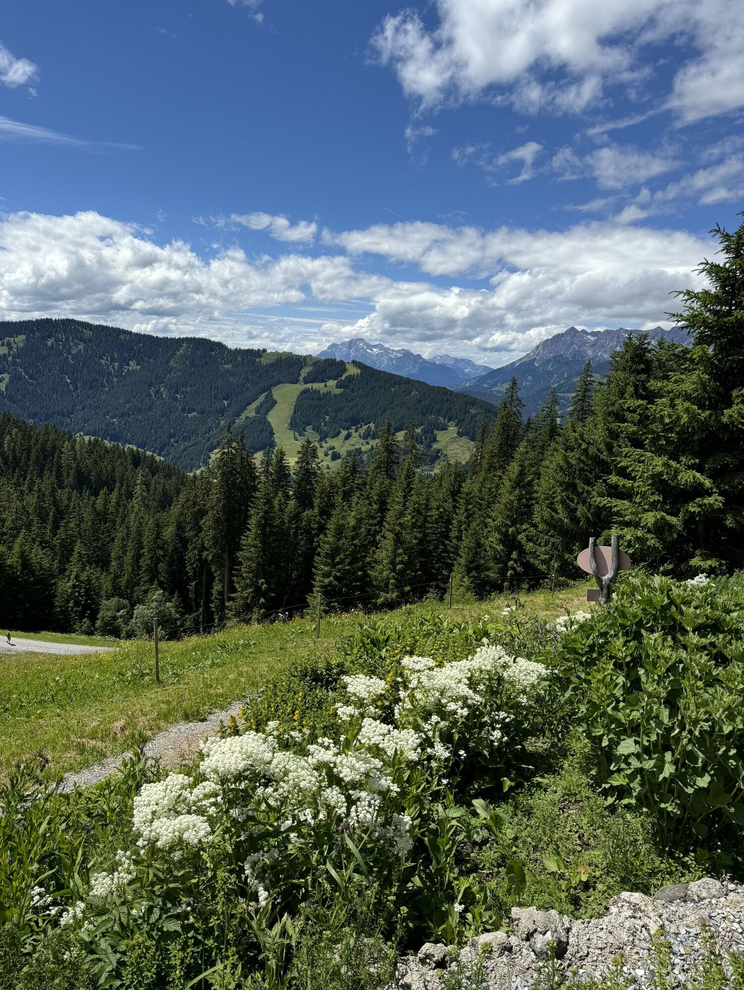
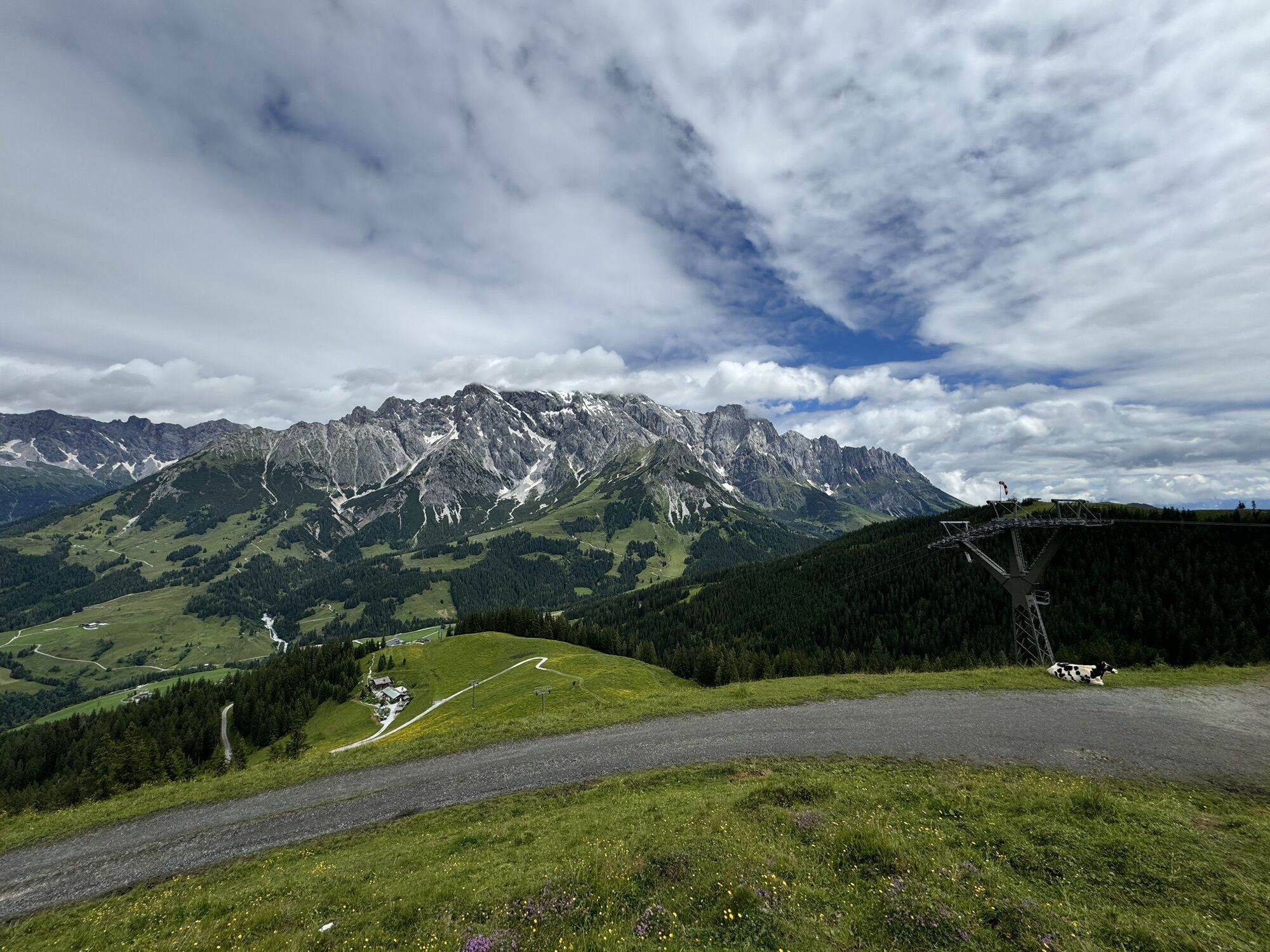
From the village of Dienten/Ski center, follow the state road towards Mühlbach to the junction "Forstweg Bürglalm." From there, a gravel path leads up to Bürglalm. After about 3 km, the path turns left...
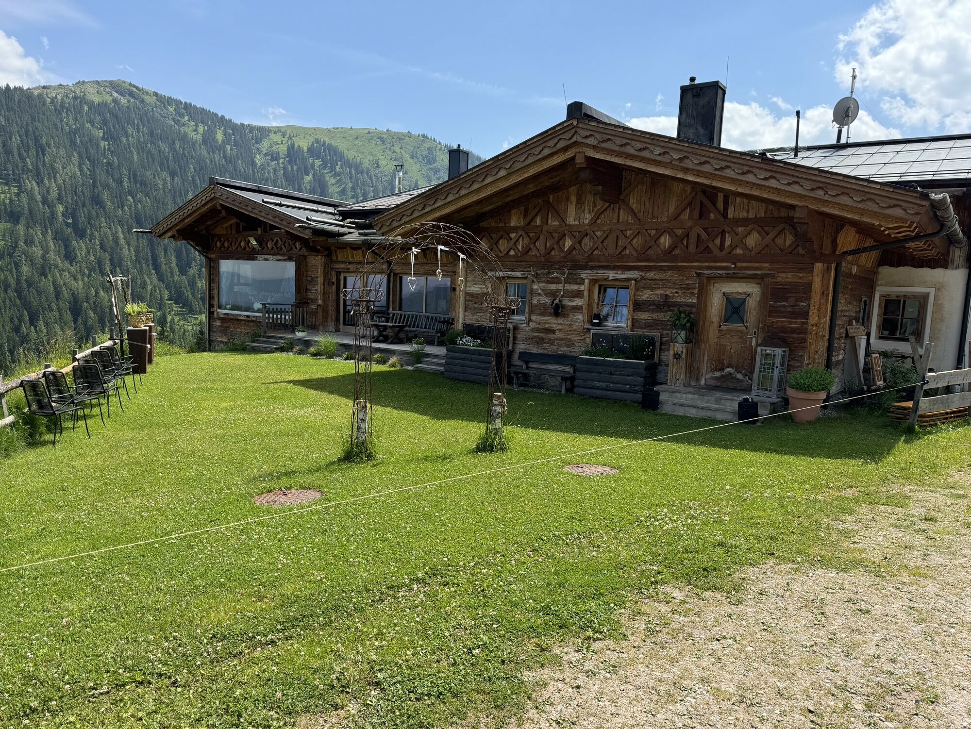
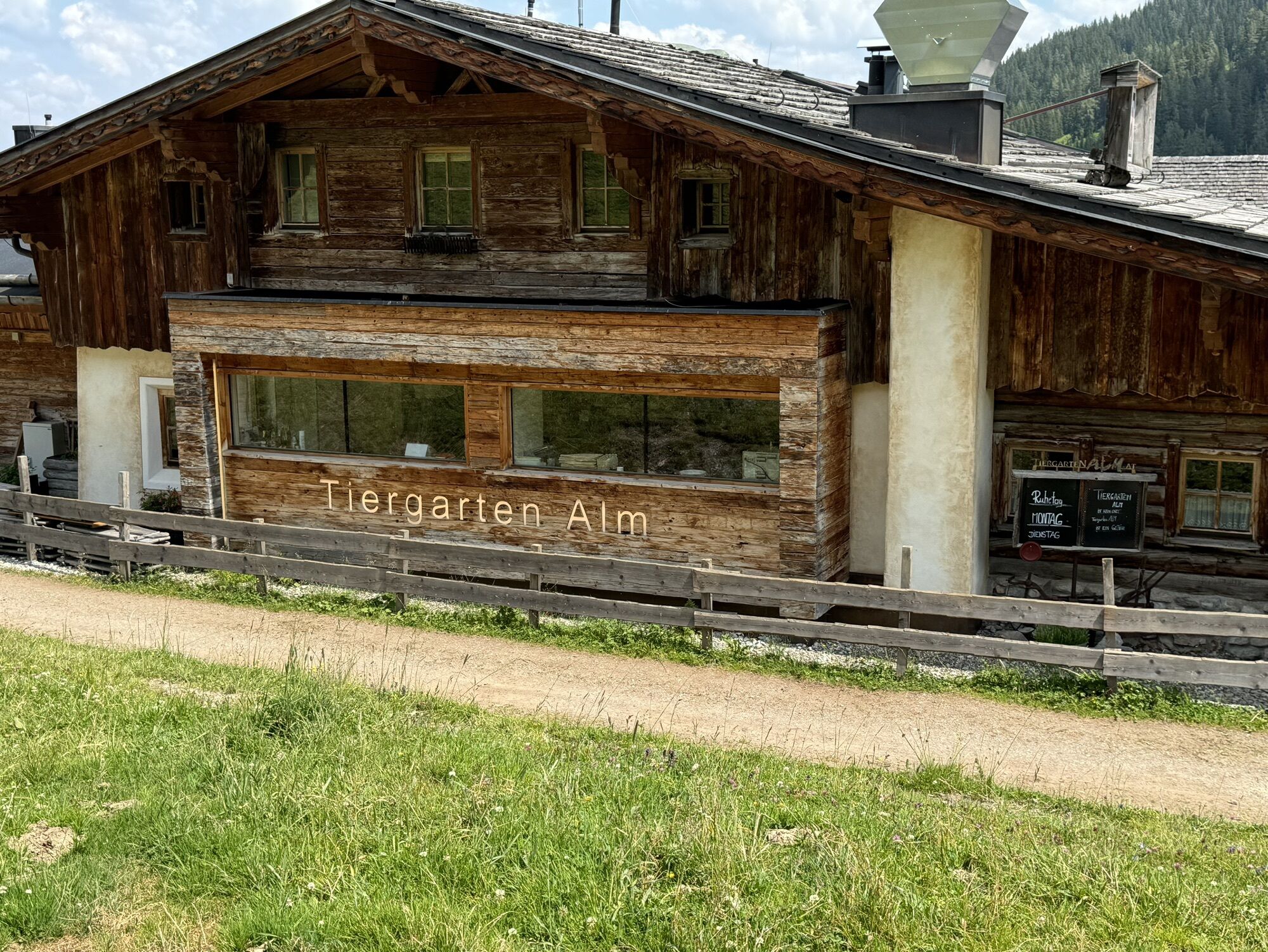
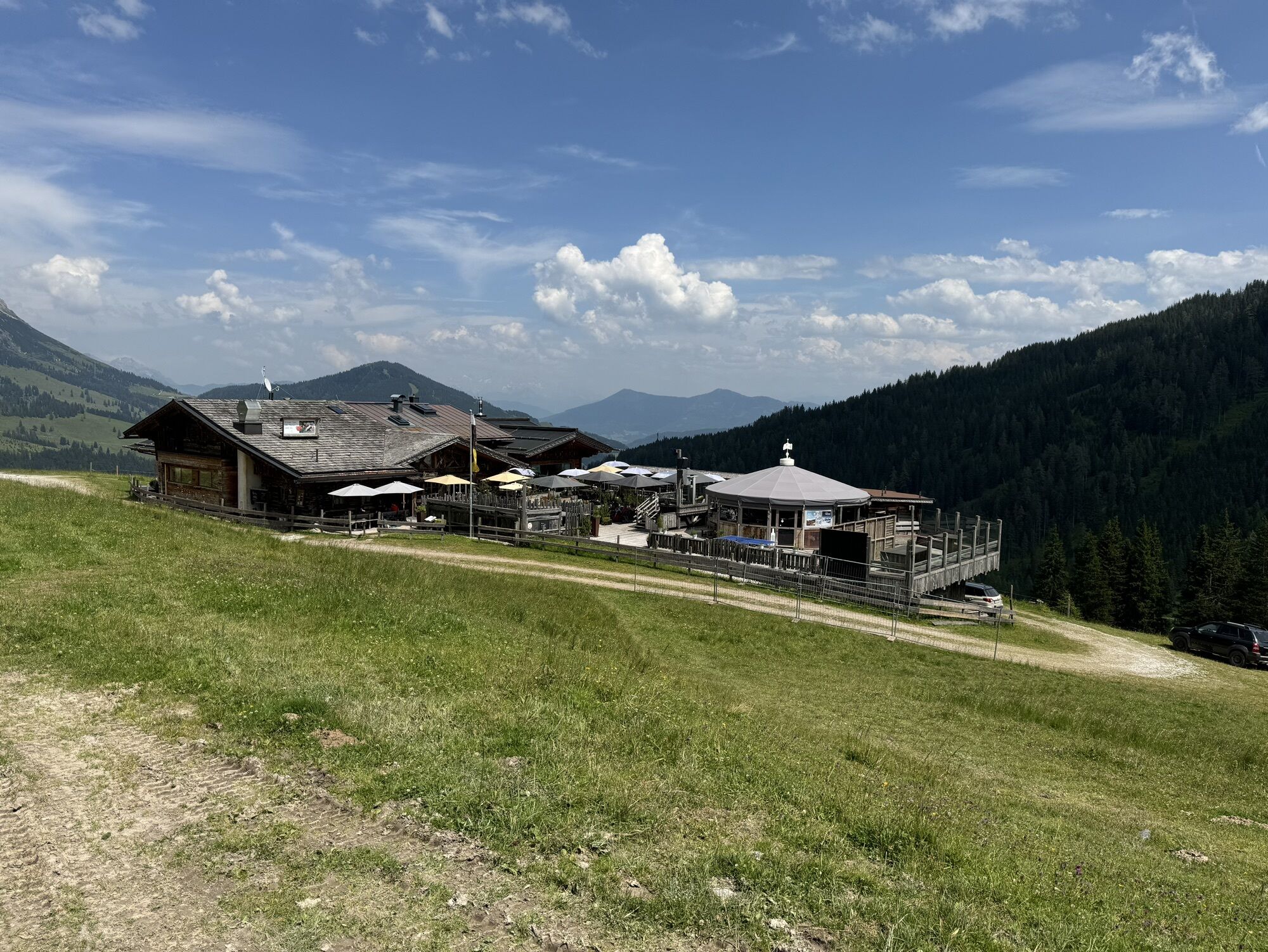
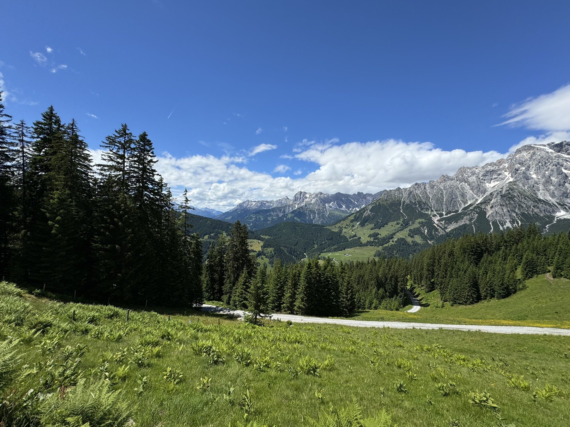
From the village of Dienten/Ski center, follow the state road towards Mühlbach to the junction "Forstweg Bürglalm." From there, a gravel path leads up to Bürglalm. After about 3 km, the path turns left towards Zachhofalm, on the right the path continues to Bürglalm. From there, the path continues to Wastlhöhe (summit) and straight ahead via a trail to Tiergartenalm. Attention: this part is very steep and has coarse gravel – please be careful! From there, it continues downhill to Dientalm at the Dientner Sattel. From Dientner Sattel, follow the federal highway back to Dienten/Ski center.


From the village of Dienten/Ski center, follow the state road towards Mühlbach until the junction "Forstweg Bürglalm." From there, a gravel road leads up towards Bürglalm. After about 3 km, the path branches off to the left towards Zachhofalm; to the right, the path continues to Bürglalm. From there, the path continues to Wastlhöhe (summit) and straight ahead via a trail to Sunnhüttl and down to Tiergartenalm. From there, it continues downhill to Dientalm at the Dientner Sattel. From Dientner Sattel, follow the federal highway back to Dienten/Ski center.
Tak
Tak
Checked bike equipment with helmet
Sunglasses
Sunscreen
Rain protection
Drinks and a small snack
Necessary medication
First aid kit
Bike map
Fair play!
Ride only on marked paths! Close all gates, barriers, and pasture gates! Observe the traffic regulations! Overtake only at walking speed! Behave respectfully towards other nature users and forestry and hunting personnel! Be considerate of animals! Do not leave any litter in nature! Act responsibly! Inform yourself about the weather forecast. Fog and bad weather can come unexpectedly fast.
Emergency numbers: Alpine emergency: 140, International emergency: 112, Rescue: 144
Arrival coming from Salzburg: Take the A10 motorway to Bischofshofen exit, then continue on B311 towards Bischofshofen. Follow the Hochkönig federal highway/B164 to Mühlbach and further to Dienten.
Arrival coming from Innsbruck/Kufstein: Take the Loferer Straße/B178 towards St. Johann i.T., then via the Hochkönig federal highway/B164 over Saalfelden and Maria Alm to Dienten or the Filzensattel.
A valid vignette is required for using the Austrian highway and expressway network. Carrying a first aid kit, warning triangle, and safety vest is also mandatory. More information at Asfinag.
ÖBB-Scotty: Timetable information
Bus line 620: Timetable information
Bus line 631: Timetable information
Hiking bus: Timetable information
Free parking at the Dienten Ski Center
3
Further information about bike tours and activities in the Hochkönig region:
For detailed information about hiking maps, summer opening hours of the mountain railways, huts, and alpine pastures, we recommend visiting the local service center. There you will not only receive hiking maps but also valuable tips on the best hiking routes and current conditions.
Summer opening hours of the mountain railways: The mountain railways offer various opening hours during the summer months, which may vary depending on weather and season. Please check the current operating times in advance.
Opening hours of huts & alpine pastures in summer: The huts and alpine pastures in the region are ideal resting places for hikers. Opening hours can also vary depending on season and weekday. Let the friendly hosts inform you about the offers and specialties on site.
For further information, please visit our website: www.hochkoenig.at.
If you have questions or need specific information, feel free to contact us:
Email: region@hochkoenig.at
Phone: +43 (0)6584 20388
We look forward to assisting you and wish you lots of fun exploring the beautiful hiking region Hochkönig!
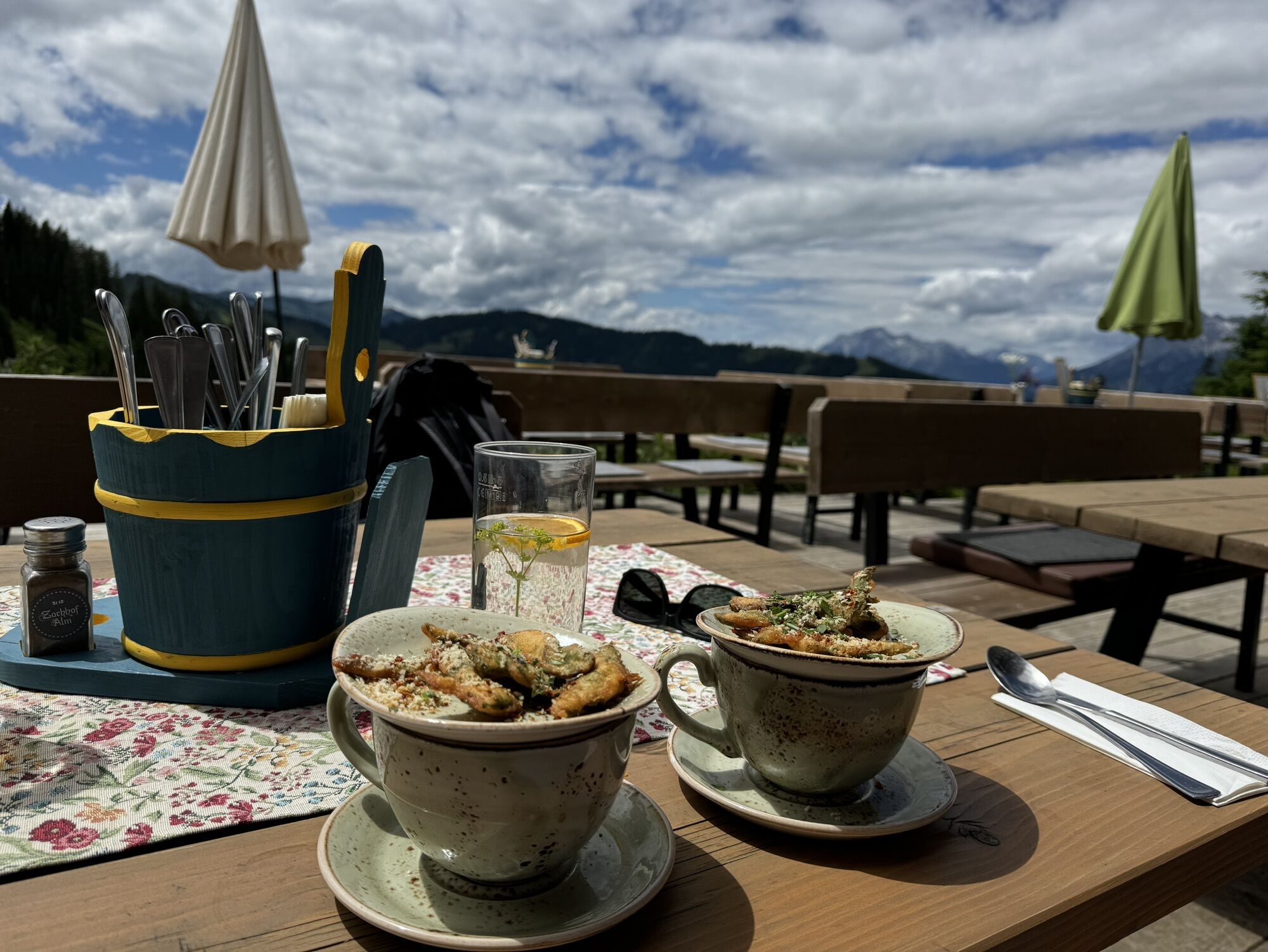
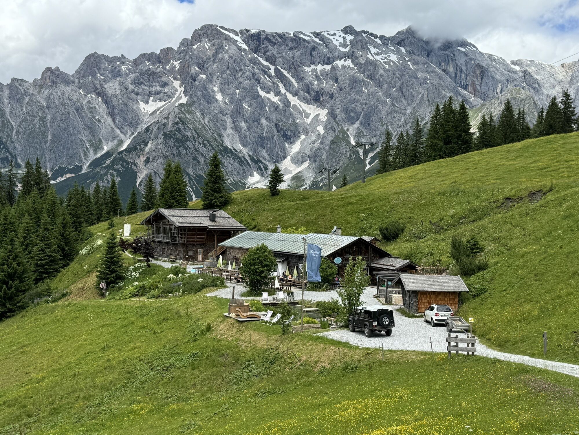
At Zachhofalm and Bürglalm there are e-bike charging stations. A visit to the Zachhofalm herb shop is always worthwhile!
Kamery internetowe z trasy
Mühlbach am Hochkönig
Maria Alm - Hochmaisbahn
Mühlbach am Hochkönig
Bergstation Kings Cab
Hinterthal - Urslauerhof
Hinterthal - Urslauerhof
Matrashaus am Hochkönig
Grünegg Alm & Edelbrennerei
Dienten - Übergossene Alm Resort
Dienten - Almsee
Dienten - Übergossene Alm Resort
Bergstation Kings Cab
Bergstation Kings Cab
Bergstation Kings Cab
Bergstation Kings Cab
Bergstation Kings Cab
Bergstation Kings Cab
Bergstation Kings Cab
Popularne wycieczki w okolicy
- 4,8
Summit storming route Taghaube
ciężkiWędrówka6,25 km - 4,9
Hochkönig - Gipfel der Gefühle - Matrashaus
ciężkiWędrówka20,9 km - 3,8
Hochkönig summit route - main ascent
ciężkiWędrówka18,1 km - 4,7
Panorama hike to the Hochkeil
średniWędrówka6,07 km - 4,8
Summit stormer route Lauskopf
ciężkiWędrówka8,16 km - 3,6
Wanderung zur Ostpreußenhütte in Werfen (1.630 m)
średniWędrówka11,2 km - 4,7
About the "Four Huts circular route" to Windraucheggalm
średniWędrówka10,1 km - 4,3
Riemannhaus
ciężkiWędrówka3,69 km - 3,4
Auf die Ostpreussenhütte
średniWędrówka16,6 km - 3,9
Mühlbacher Höhenweg
średniWędrówka11,2 km
Wędrówki i tropienie


Nie przegap ofert i inspiracji na następne wakacje
Twój adres e-mail została dodana do listy mailingowej.