Ennsradweg section Eben - Schladming
światło
Pobierz tę trasę na swój telefon komórkowy
Ennsradweg section Eben - Schladming
światło
Jazda na rowerze
26,70
km
Zeskanuj kod QR i rozpocznij nawigację w aplikacji bergfex.


Wędrówki i tropienie




Ennsradweg section Eben - Schladming
światło
Odległość
26,70
km
Czas trwania
01:45
h
Ascent
142
hm
Poziom morza
735 -
859
m
Poziom trudności: 2
Ścieżka do pobrania
Ennsradweg section Eben - Schladming
światło
Jazda na rowerze
26,70
km
Trasa
Sinnhub
(919 m)
Wioska
2,4 km
Radstadt
(858 m)
Miasto
6,8 km
Gasthof Taferne
(815 m)
Restauracja
16,9 km
Mandling
(814 m)
Wioska
16,9 km
Pichl
(780 m)
Rozliczenie
19,9 km
Maistatt
(740 m)
Sąsiedztwo
25,7 km
Schladming
(745 m)
Miasto
26,4 km
Trasa
Ennsradweg section Eben - Schladming
światło
Jazda na rowerze
26,70
km
Sinnhub
(919 m)
Wioska
2,4 km
Altenmarkt im Pongau
(842 m)
Wioska
3,9 km
Krallinger
(839 m)
Restauracja
4,1 km
Radstadt
(858 m)
Miasto
6,8 km
Das Geringer
(815 m)
Restauracja
16,8 km
Gasthof Taferne
(815 m)
Restauracja
16,9 km
Mandling
(814 m)
Wioska
16,9 km
Gleiming
(784 m)
Rozliczenie
19,0 km
Pichl
(780 m)
Rozliczenie
19,9 km
Pichl bei Schladming
(771 m)
Stacja kolejowa
19,9 km
Maistatt
(740 m)
Sąsiedztwo
25,7 km
Schladming
(745 m)
Miasto
26,4 km
Autor
Dostarczone przez Tourismusverband Eben
Wycieczkę Ennsradweg section Eben - Schladming zapewnia outdooractive.com.

Ostatnio śledzony
2 tygodnie temu

Informacje o trasie
Trasa
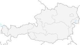
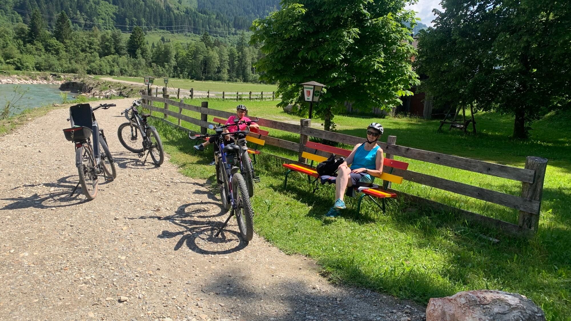
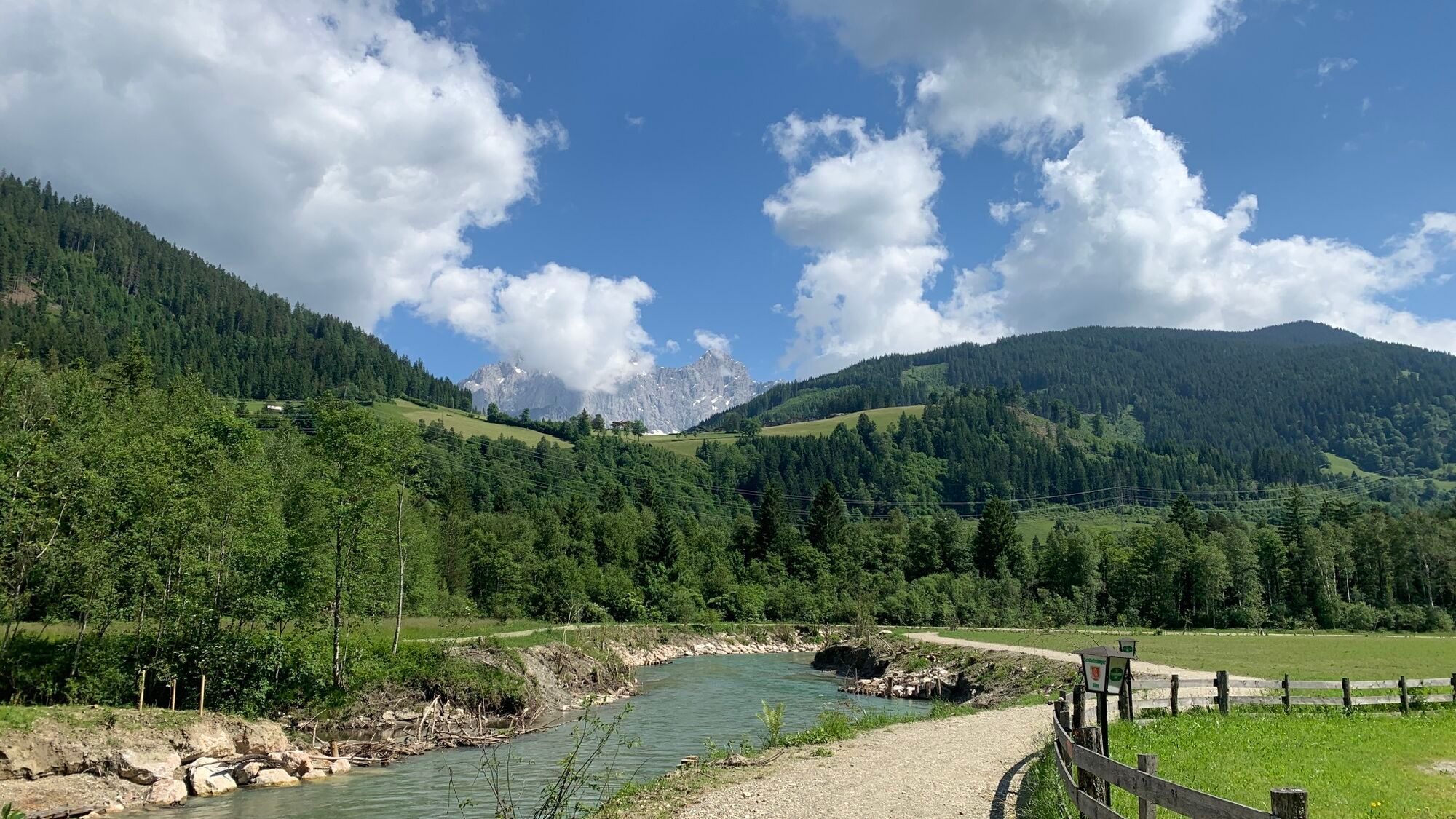
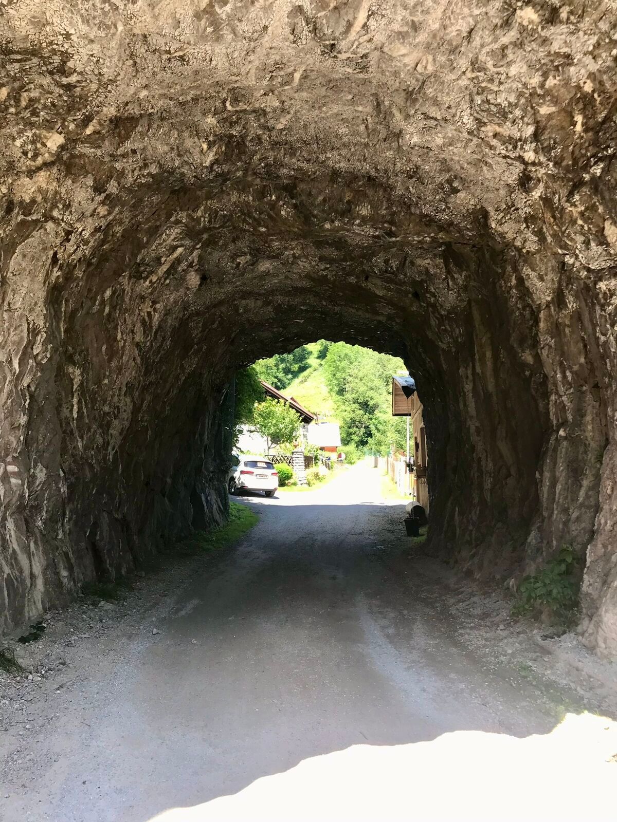
From the parking lot of the Monte Popolo cable cars, go left onto the bike path along the B99 until the railway underpass near Sinnhubbauer, after the new bridge turn left onto the "Ennsradweg." After about 250 m, cross Altenmarkterstrasse near the Brückenwirt and continue to follow the Ennsradweg to Radstadt, where we meet the local road near the sawmill. We follow this shortly to the right, then cross the road to the left and continue following the signs. After the settlement and before the Taurach bridge, turn left onto the gravel road. We ride on this to Mandling, first along the Taurach and then along the Enns at the forest and meadow edge. In Mandling, cross the Enns bridge and then turn right into the settlement. After 100 meters turn left and cross the railway to the underpass beneath the B320. Upon reaching the other side of the B320, turn right. Here we cross the side road on the right through the settlement to the road and railway underpass (B320). Then turn left on the marked path to Pichl. There, turn right under the railway and continue over the Enns bridge; after the guesthouse, turn left again onto the marked Ennsradweg and continue on it to Schladming (train station).
In the underpass, turn sharply right, past the leisure park, and at Cafe Hermann turn left onto the path running along the right bank of the Enns. After 3.5 km, this path merges into an accompanying bike path of the federal road. Shortly after the beginning of Schladming, turn sharply left (dismount) over a narrow bridge over the Enns and along the left side of the river until you reach the roundabout.
Odpowiedni dla rodzin
Tak
Informacje o przyjeździe
Parking
Parking lot lift / country inn
Dodatkowe informacje i wskazówki
Poziom trudności
2
Nie ma jeszcze recenzji
Kamery internetowe z trasy
-
Rossbrand
-
Planai Bergstation Burgstallalm
-
Ramsau am Dachstein / Leiten
-
Planai Bergstation
-
Talstation Reiteralm - Gondelbahn Silver Jet
-
Radstadt - Simonyhof
-
Hochwurzen Talstation
-
Altenmarkt - Sinnhubbauer
-
Altenmarkt - Schartner
-
Aparthotel Jagdhof Filzmoos
-
Aparthotel Jagdhof Filzmoos
-
Ramsau - Aparthotel Ramsau
-
Ramsau - Aparthotel Ramsau
-
Kemahdhöhe
-
Preunegg Jet Talstation
-
Ramsau a. D. - Rittisberg
-
Bergstation Preunegg Jet
-
Ramsau / Lindenhof - Ramsbergerhof
-
Reitlehenalm
-
Kemahdhöhe
-
Kemahdhöhe
-
Kemahdhöhe
-
Kemahdhöhe
-
Schladming - Lärchkogelbahn
-
Planai Talstation
-
Bergstation 6er-Sesselbahn
-
Reiteralm See
-
Ramsau am Dachstein
-
Ramsau am Dachstein
-
Ramsau am Dachstein
-
Ramsau am Dachstein
-
Radstadt - Wasserwerk
-
Rohrmoos - Tauernalm
-
Rohrmoos - Tauernalm
-
Papageno Bergstation
-
Papageno Bergstation
-
Papageno Bergstation
-
Papageno Bergstation
-
Papageno Bergstation
-
Papageno Bergstation
Uzyskaj wgląd
Zawsze na żywo z ponad 9 500 kamer internetowych. bergfex Jako użytkownik Pro, możesz teraz zobaczyć odpowiednie kamery internetowe dla wielu wycieczek w aplikacji wycieczki od. Pozwala to na bezpośredni podgląd aktualnych warunków.
Popularne wycieczki w okolicy
-
4,3
Filzmoos: Rötelstein (Rettenstein)
Wędrówka 9,50 km -
4,8
4-Jahreszeiten Wanderweg
średniWędrówka zimą 5,94 km -
4,7
Tour around the Gosaukamm
średniWędrówka 20,9 km -
4,7
Planai Runde | 304
średniMountainbike 34,1 km -
4,7
Tor-Wanderung
ciężkiWędrówka 14,2 km -
4,6
Ski route Lackenkogel
średniWycieczka narciarska 7,82 km -
4,5
Adamekhütte vom Vorderen Gosausee
średniWędrówka 23,2 km -
4,5
Krahbergzinken - Gipfelglück auf 2.134 m
średniWędrówka 5,92 km -
4,4
Ramsau am Dachstein: Steinerne Jungfrauen
Wędrówka 8,11 km -
4,9
Das Trippel in der Silberkarklamm
średniVia ferrata 6,70 km
Wędrówki i tropienie

Ponad 550.000 propozycji wycieczek, szczegółowe mapy i intuicyjny planer tras sprawiają, że aplikacja jest niezbędna dla wszystkich entuzjastów przyrody.

Nie przegap ofert i inspiracji na następne wakacje
Zapisz się do newslettera
Błąd
Wystąpił błąd. Spróbuj ponownie.
Dziękujemy za rejestrację
Twój adres e-mail została dodana do listy mailingowej.
Wycieczki po całej Europie
Austria
Szwajcaria
Niemcy
Włochy
Słowenię
Francja
Holandia
Belgia
Polska
Liechtenstein
Czechy
Słowacja
Hiszpania
Chorwacja
Bośnia i Hercegowina
Luksemburg
Andorra
Portugalia
Islandia
Wielka Brytania
Irlandia
Grecja
Albania
Macedonia Północna
Malta
Norwegia
Czarnogóra
Mołdawia
Kosowo
Węgry
San Marino
Rumunia
Estonia
Łotwa
Białoruś
Cypr
Litwa
Serbia
Bułgaria
Monako
Dania
Szwecja
Finlandia





