







Boundless e-bike enjoyment - Stage 3
Poziom trudności: 2
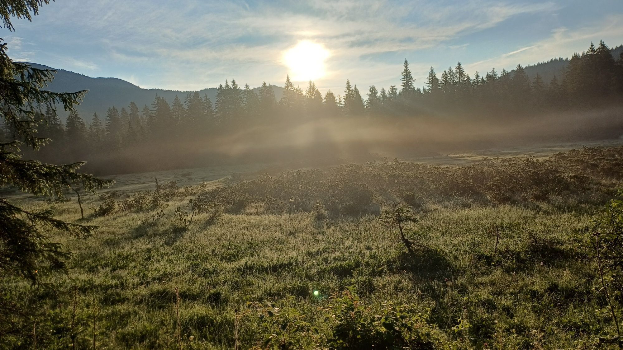
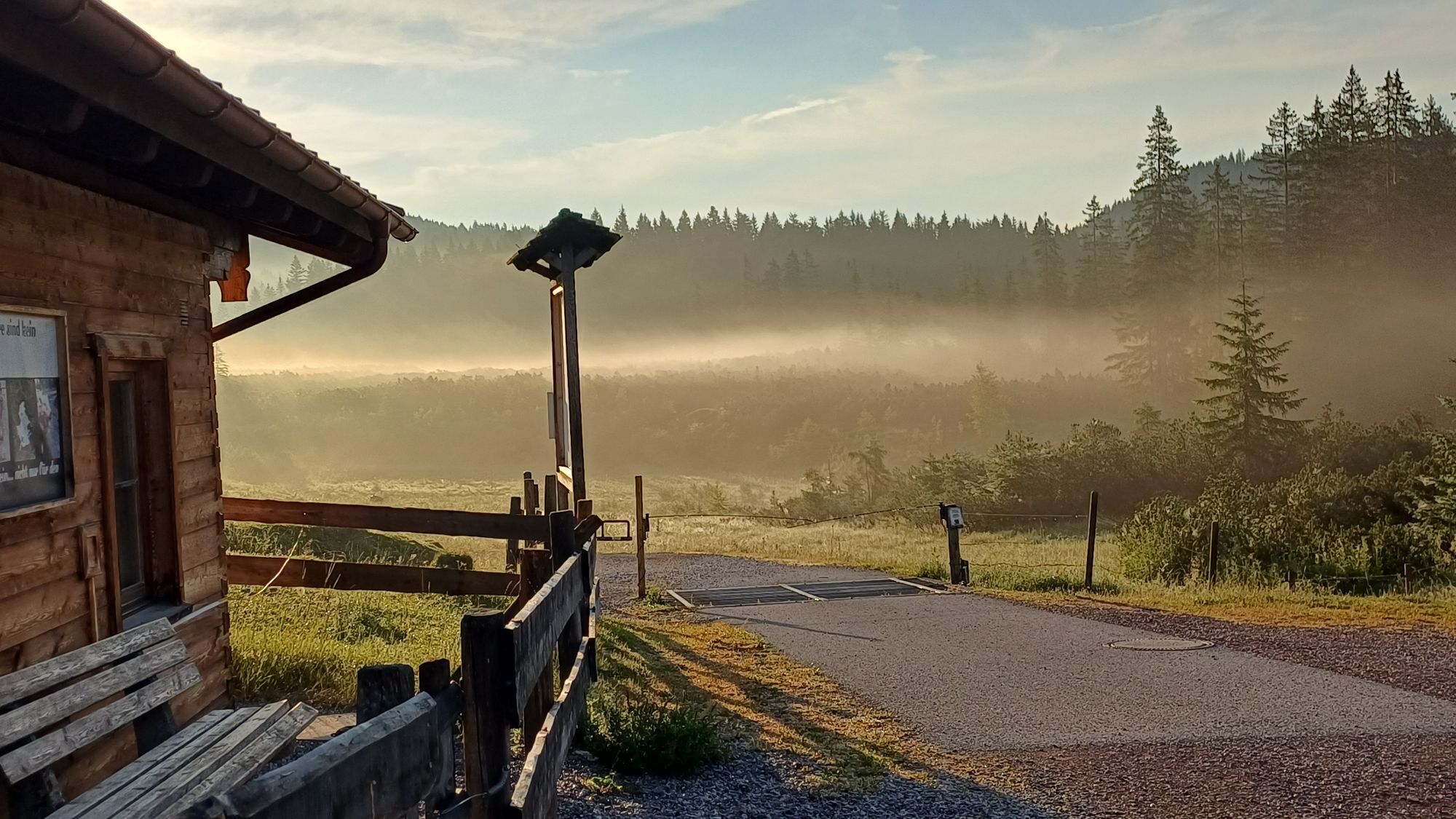



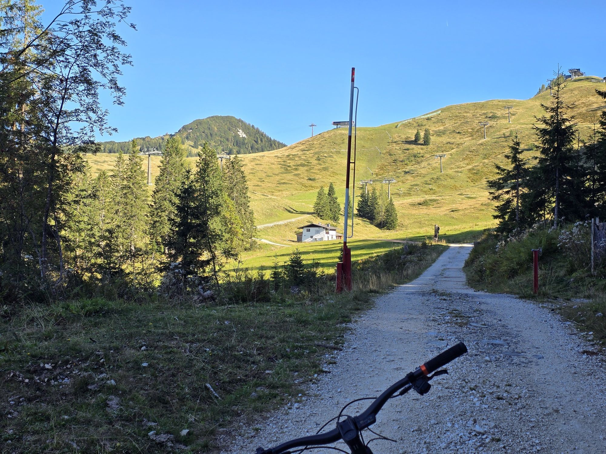
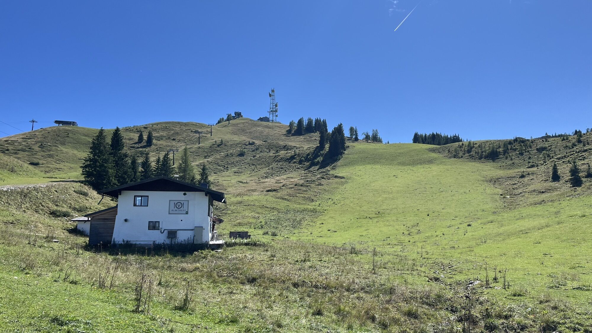
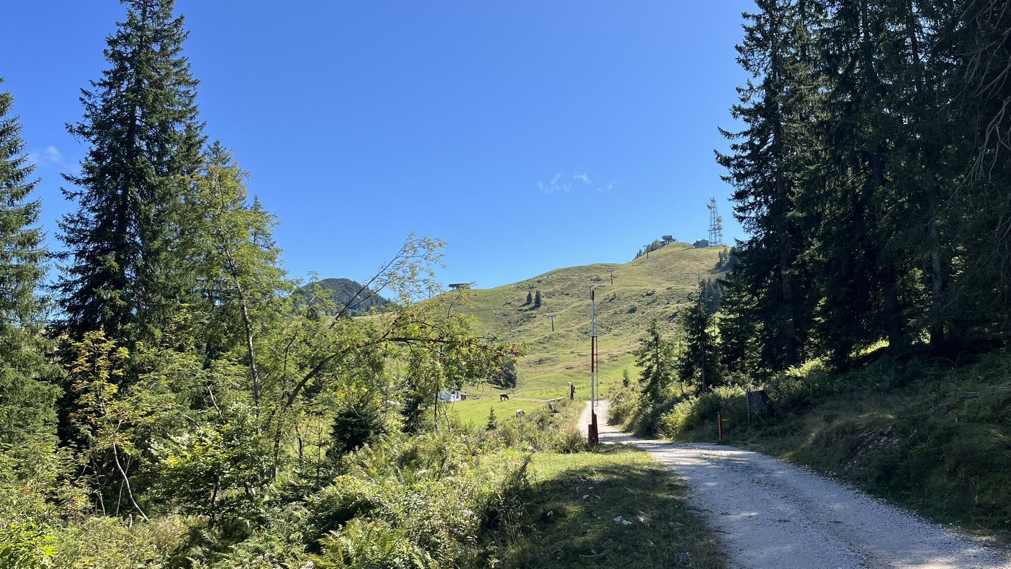
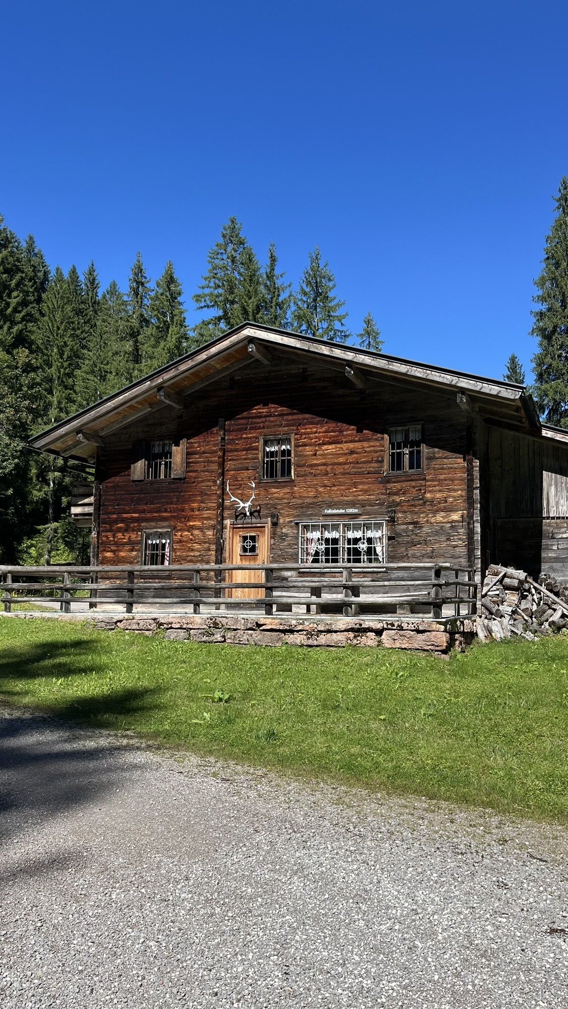
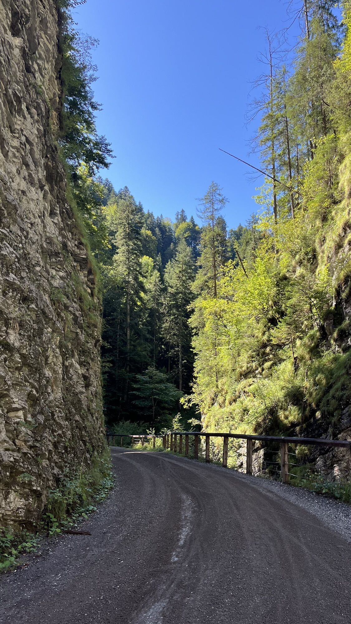
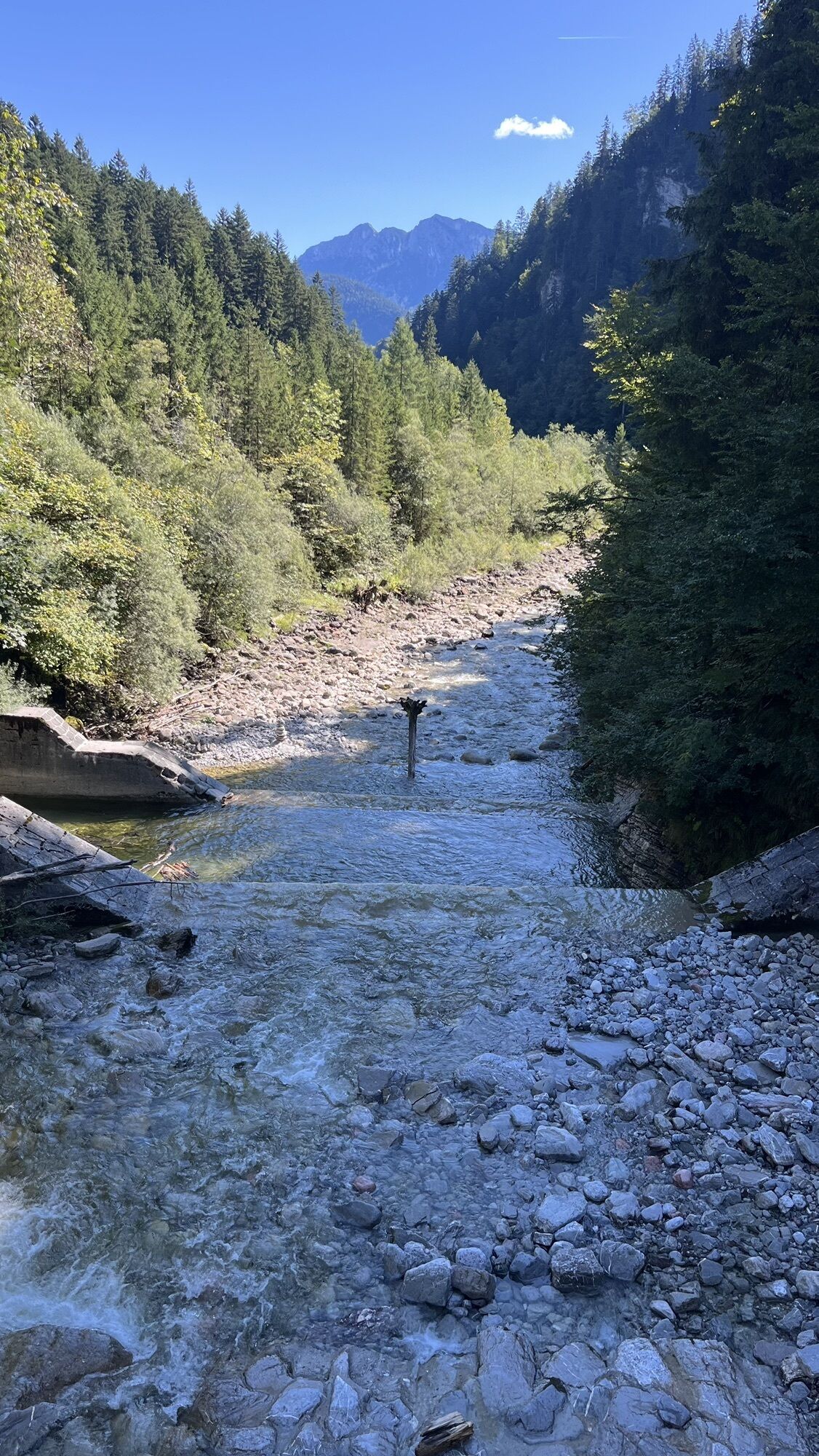
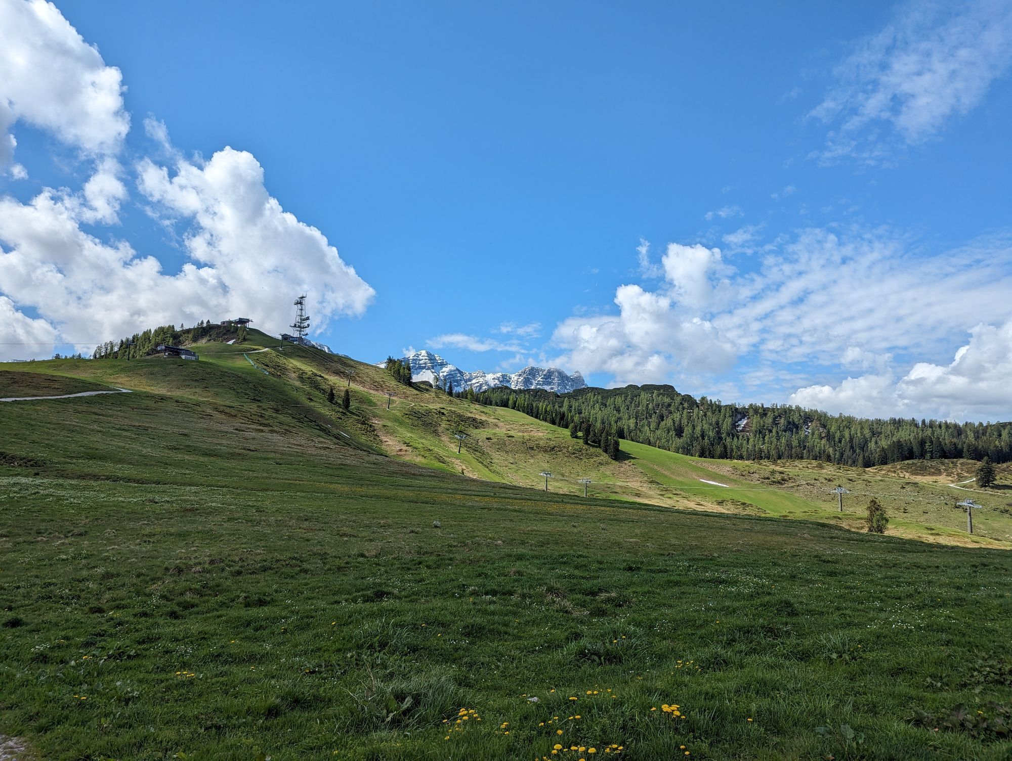
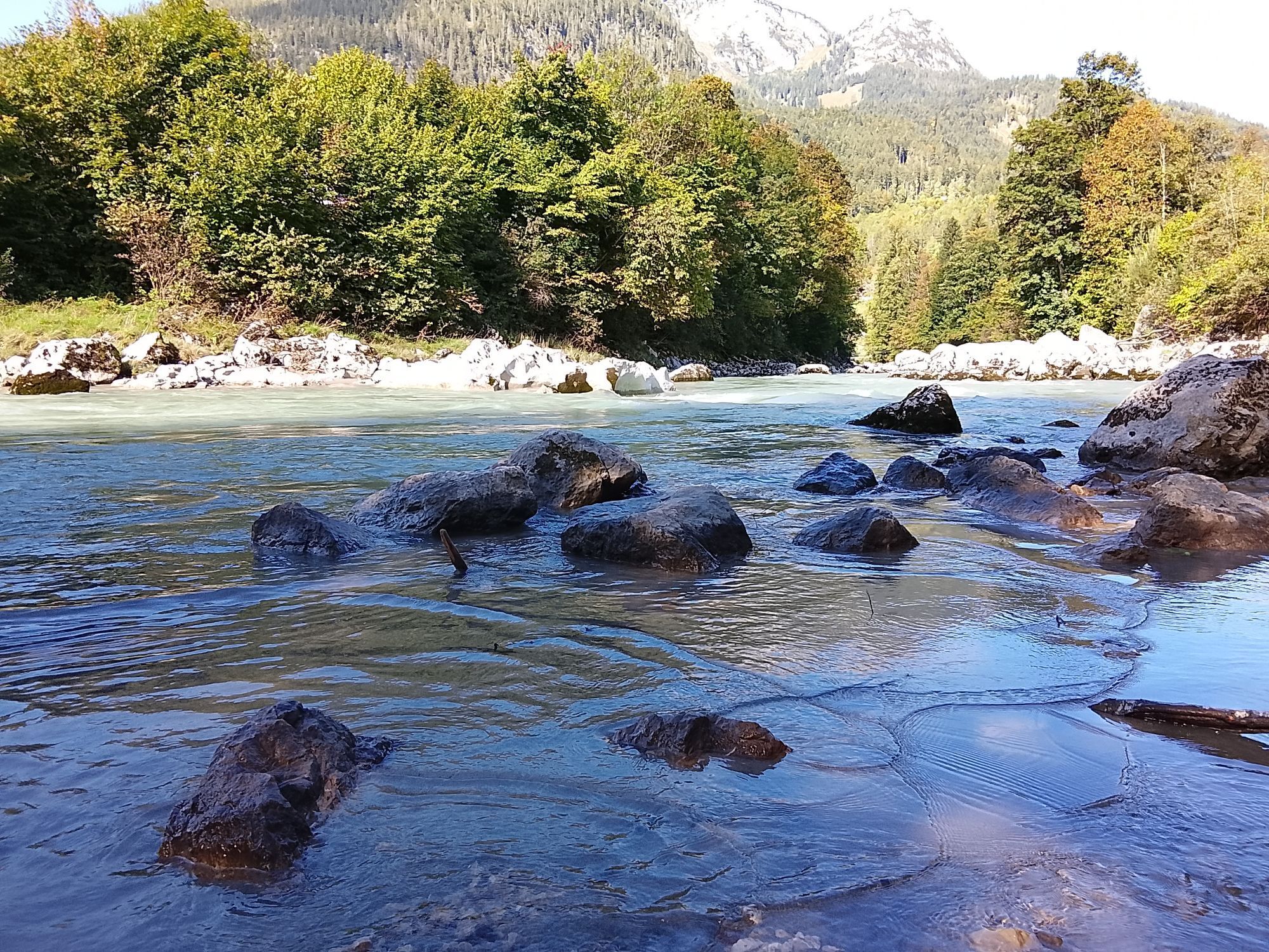
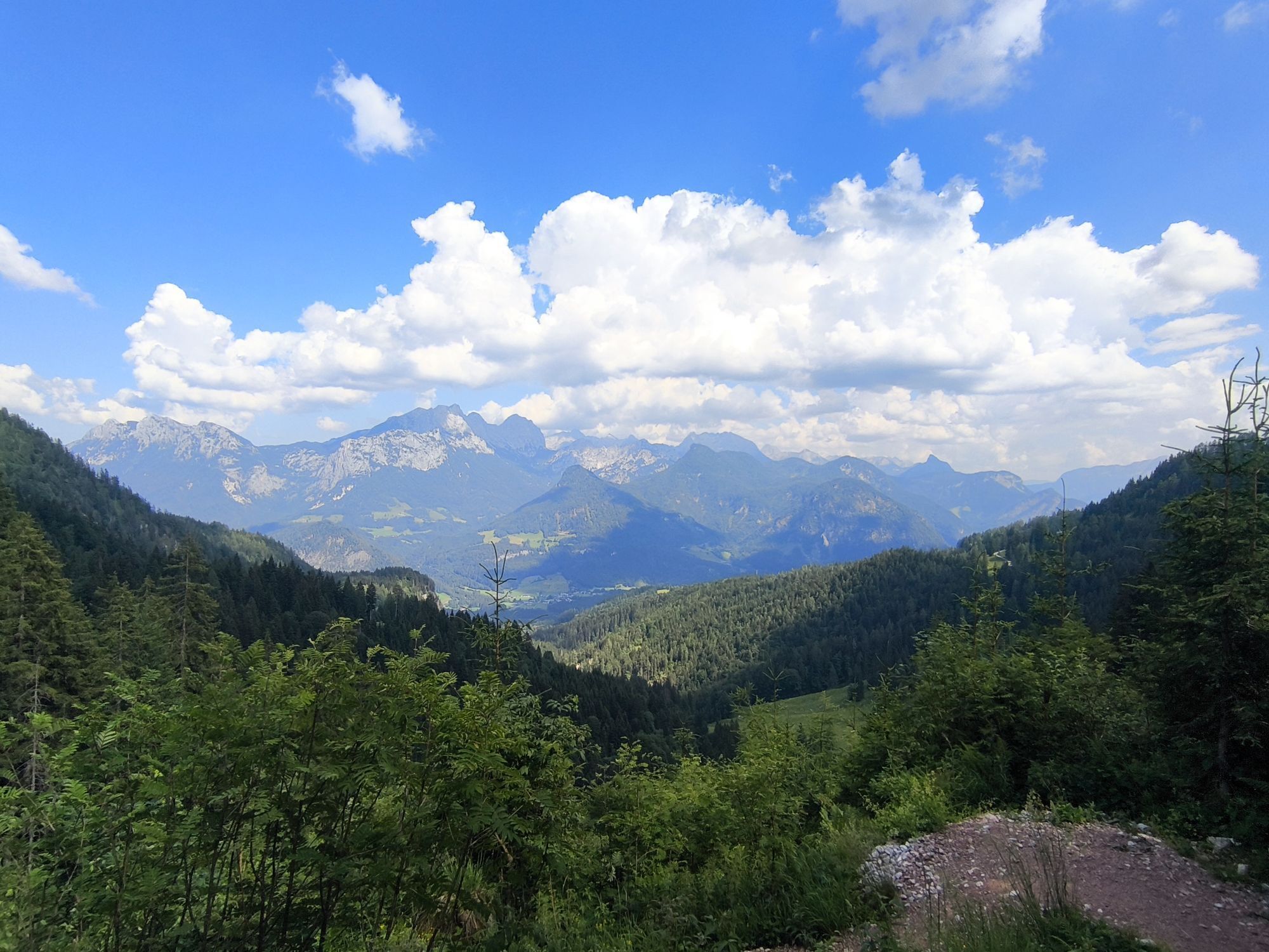
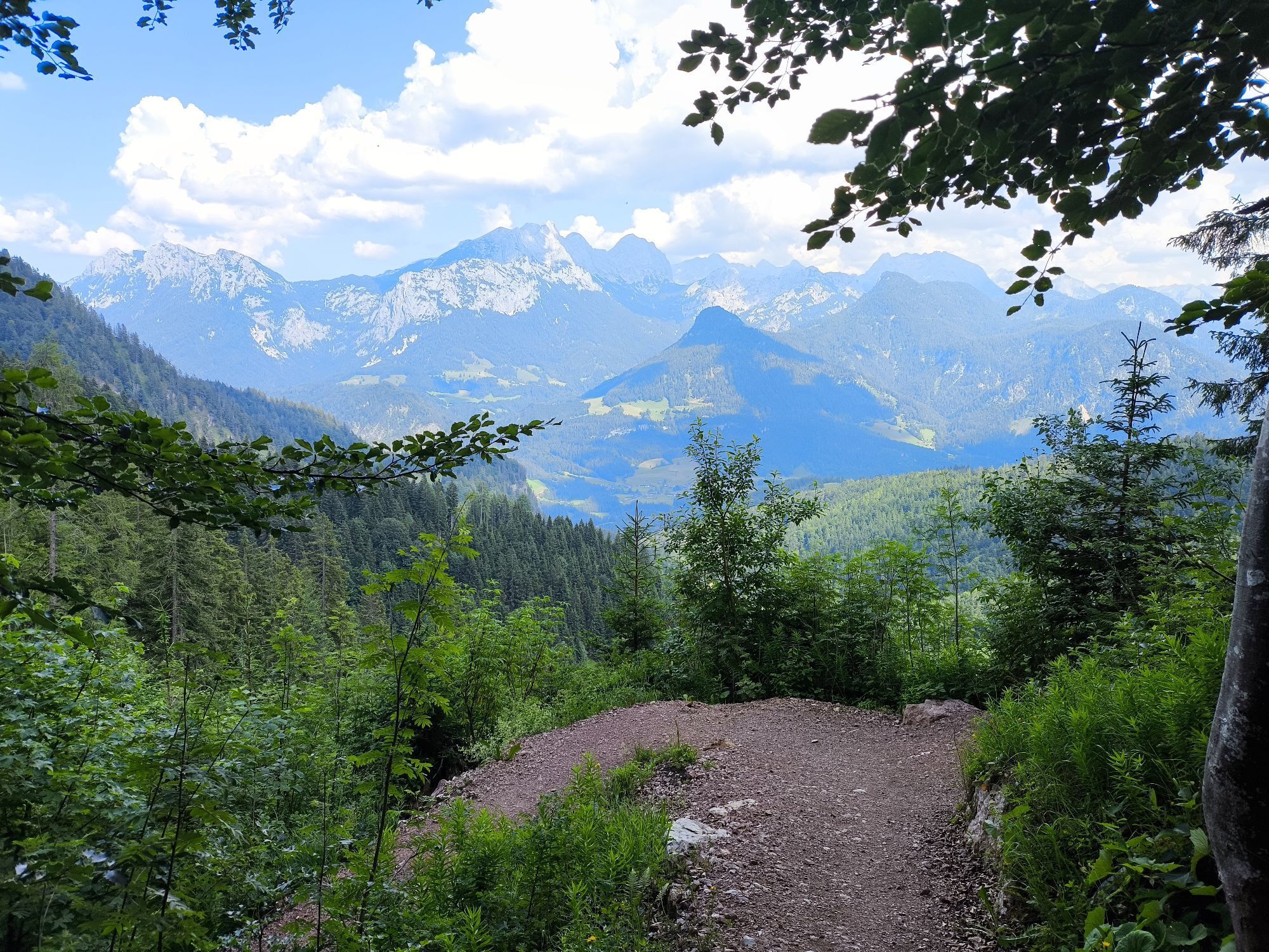
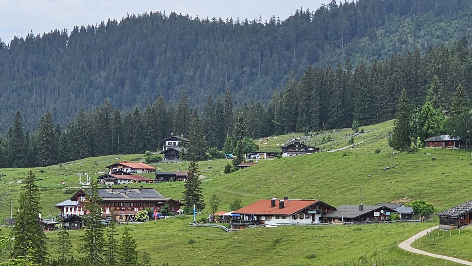
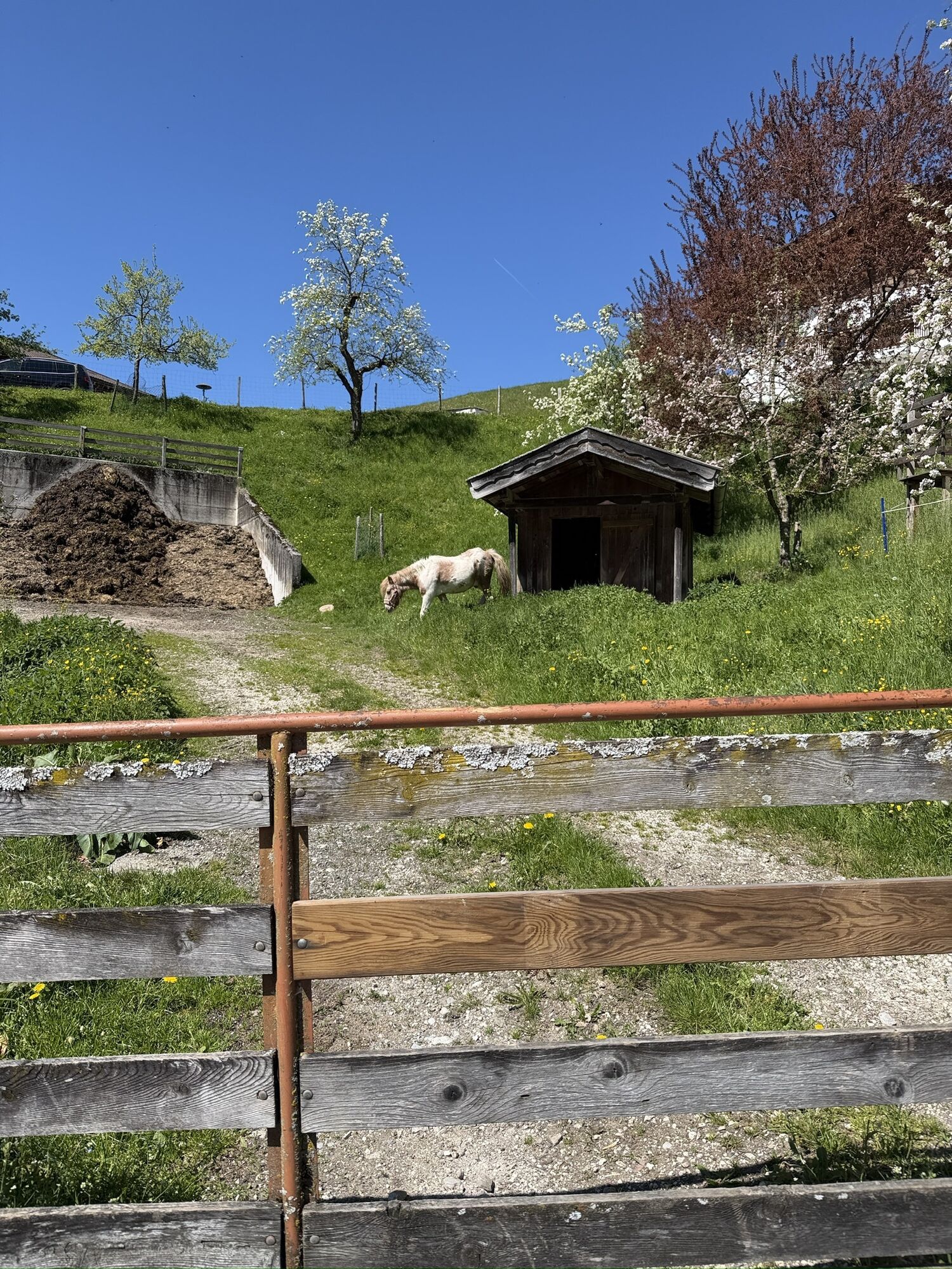
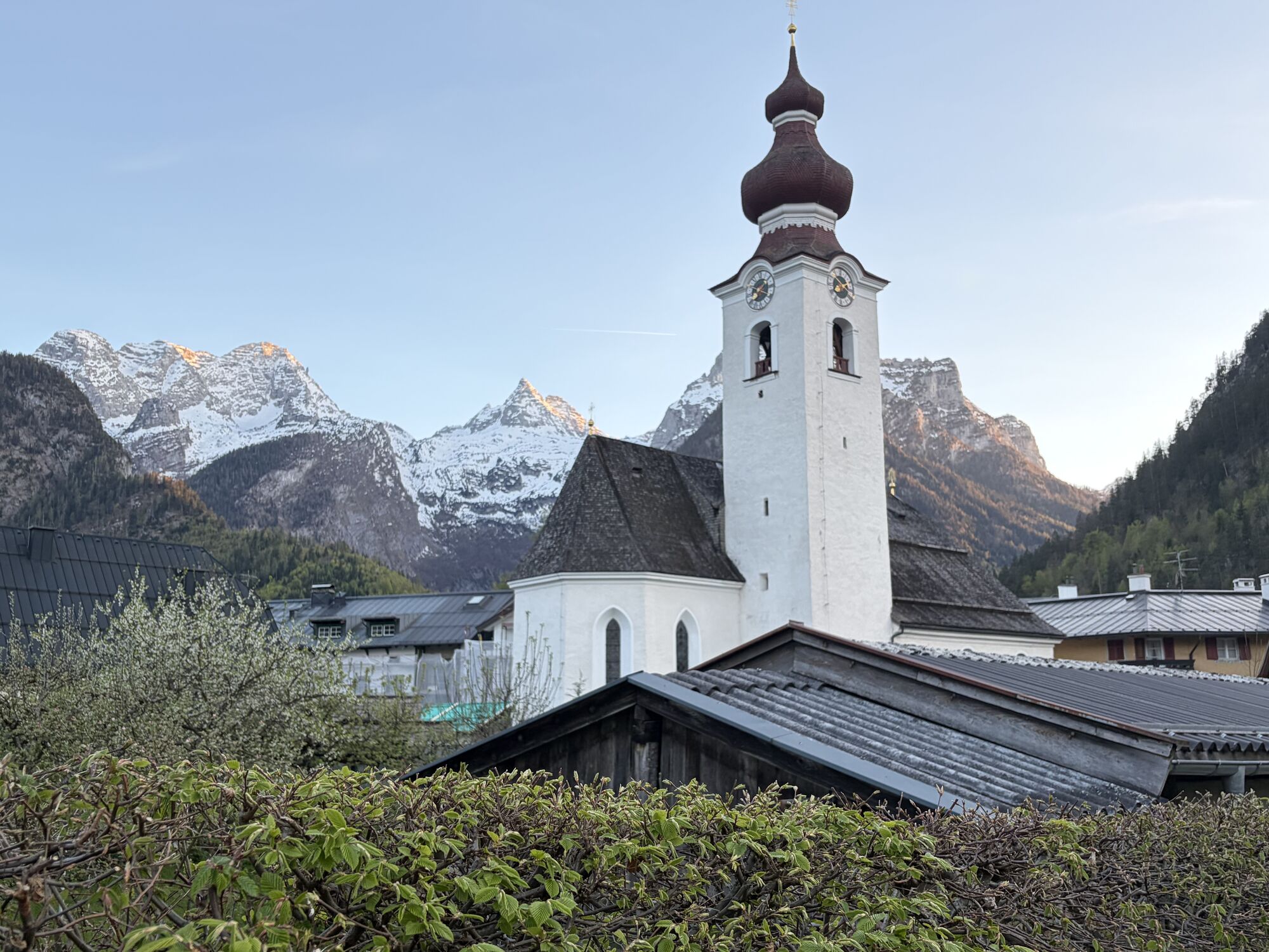
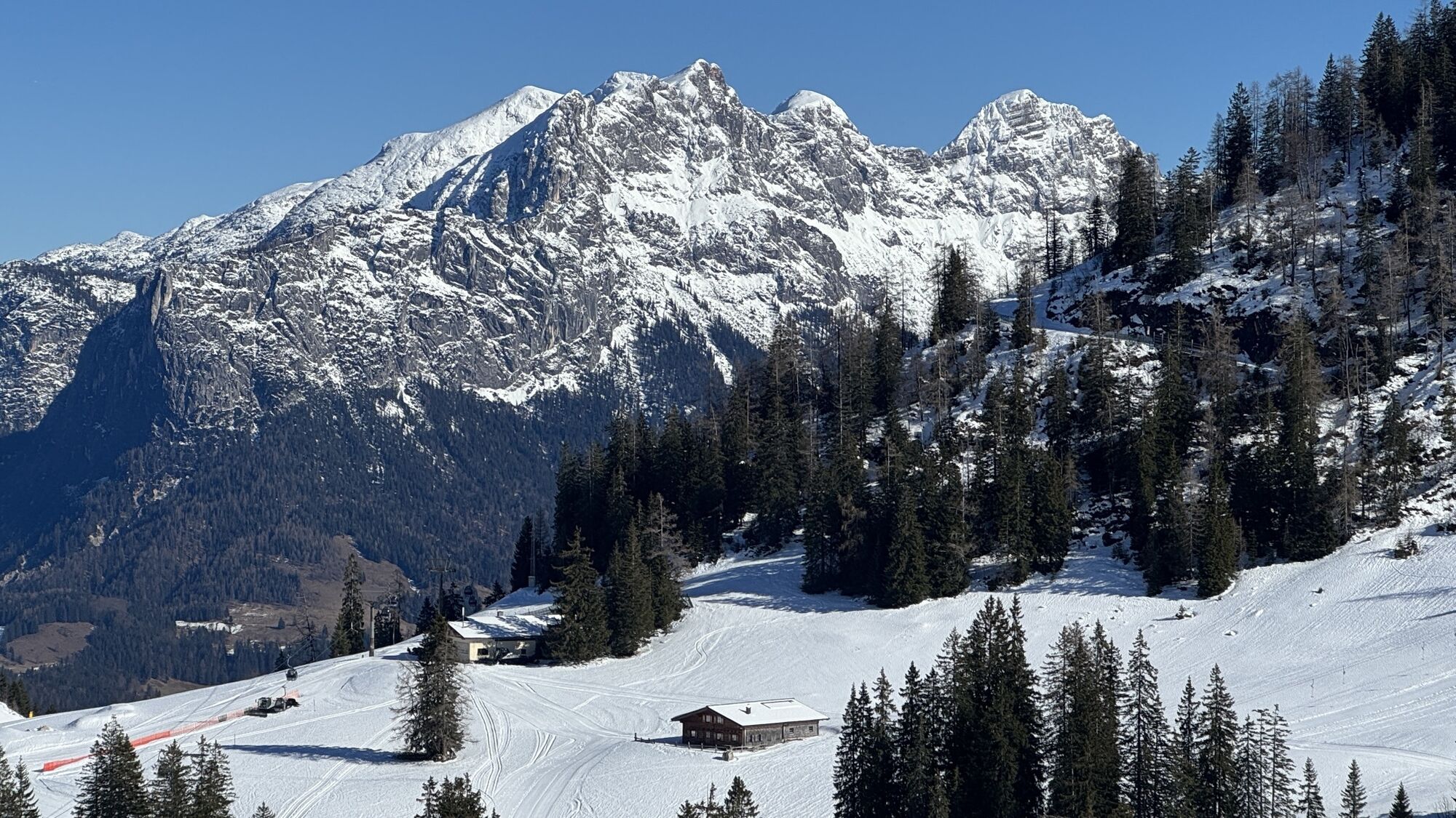
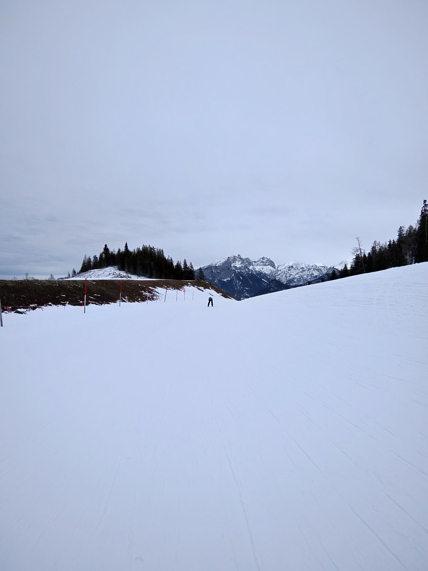
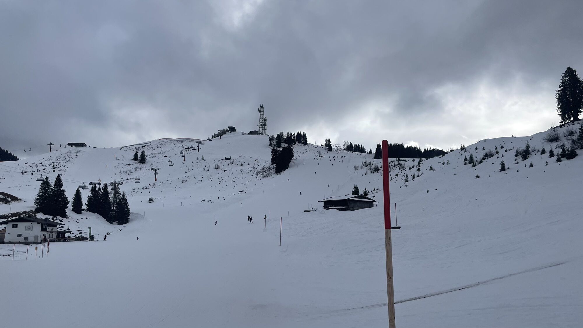
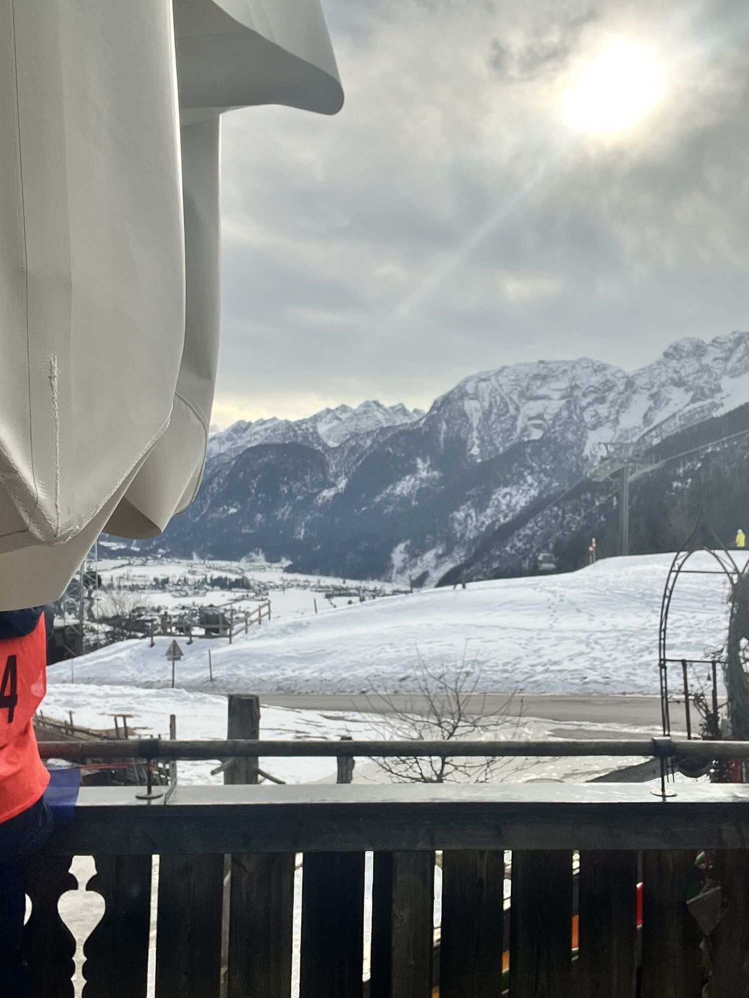
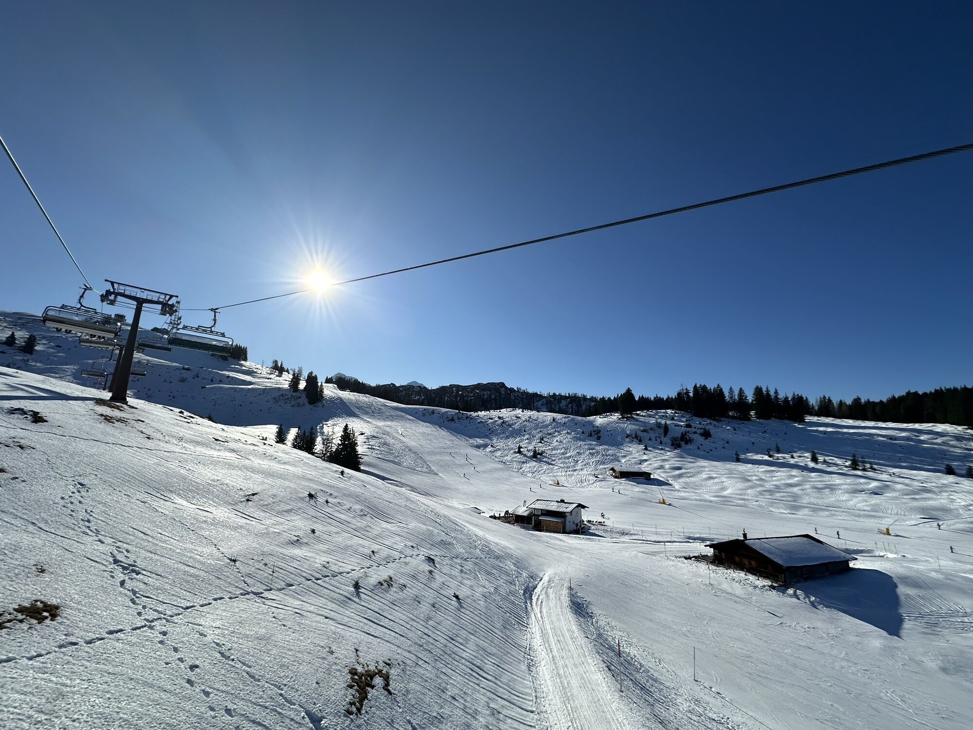
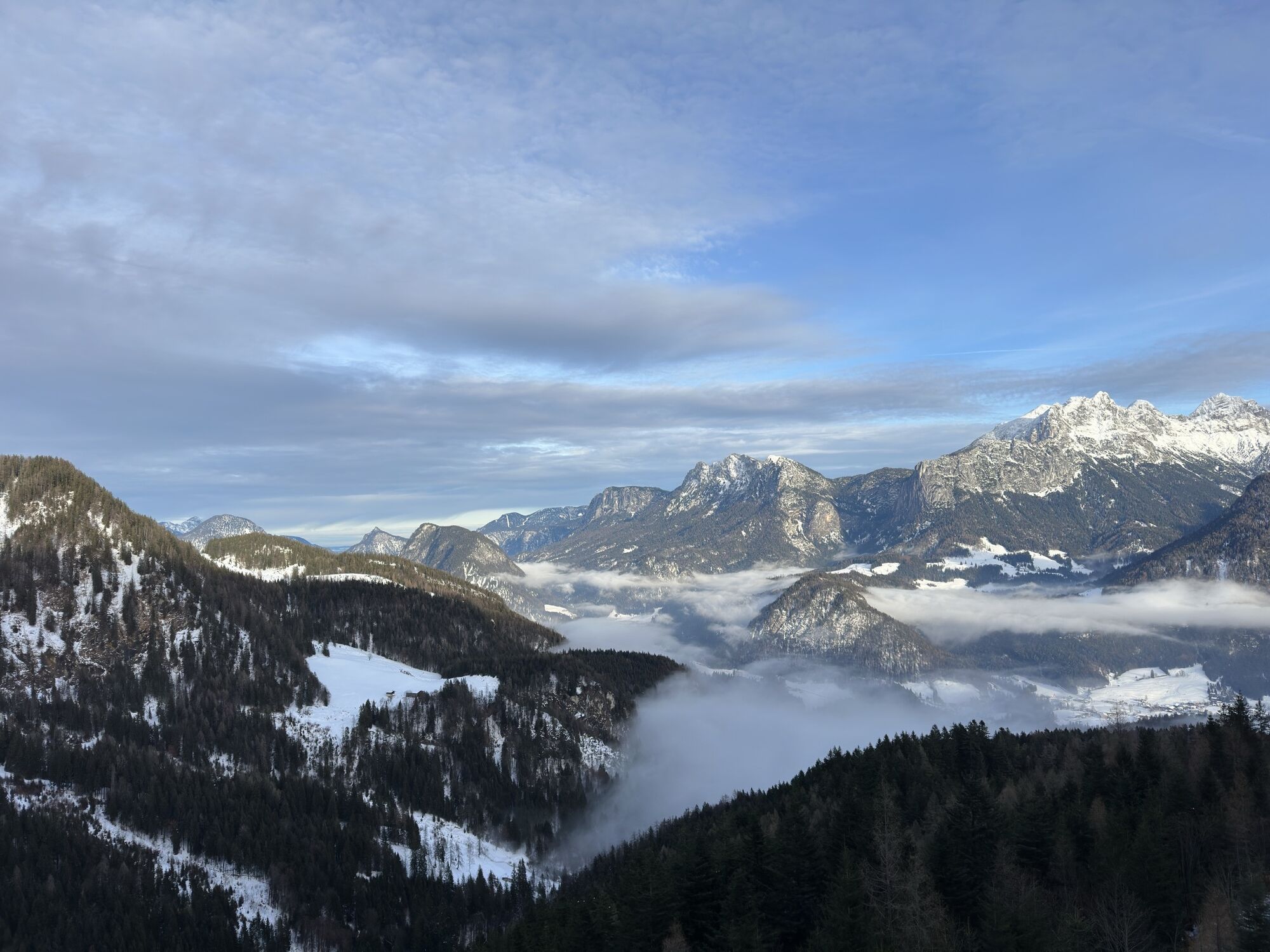
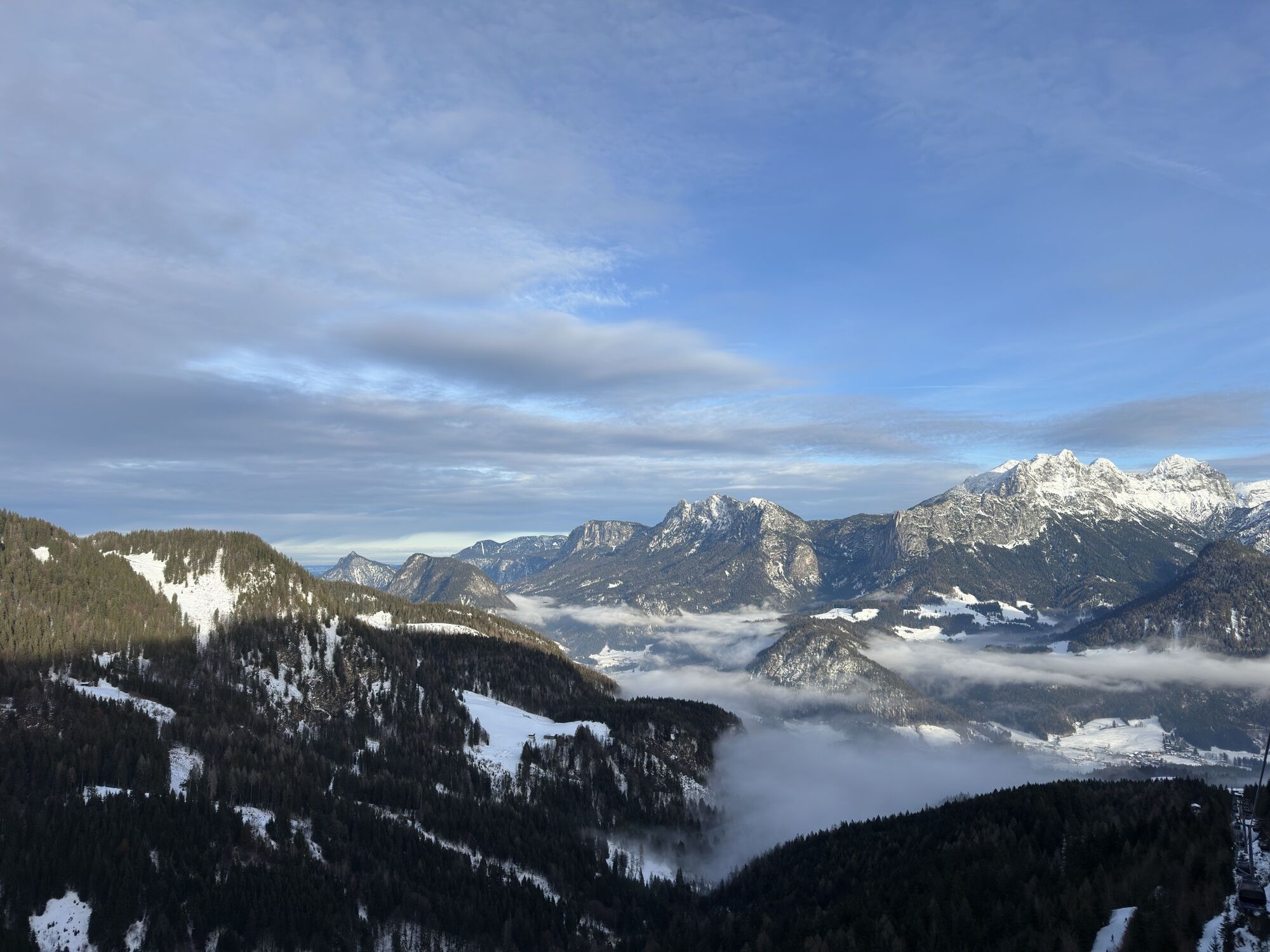
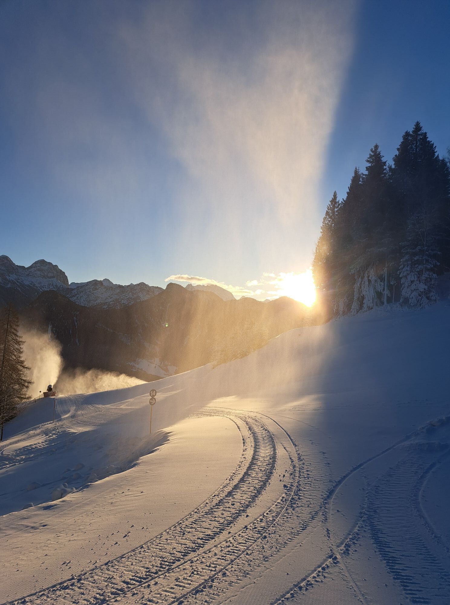
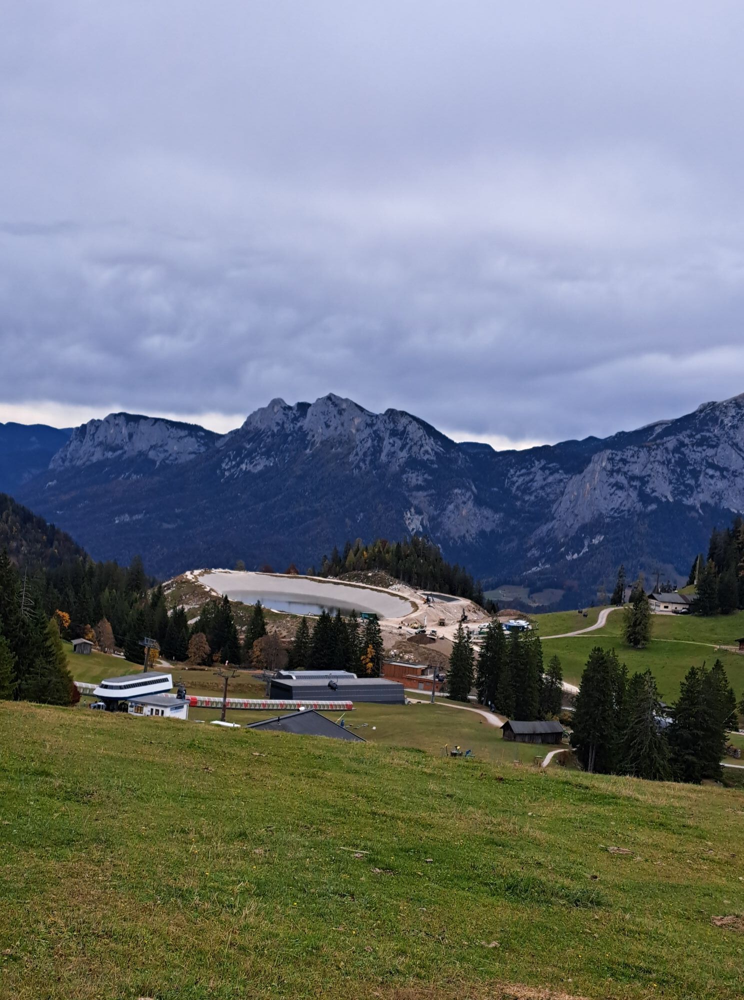
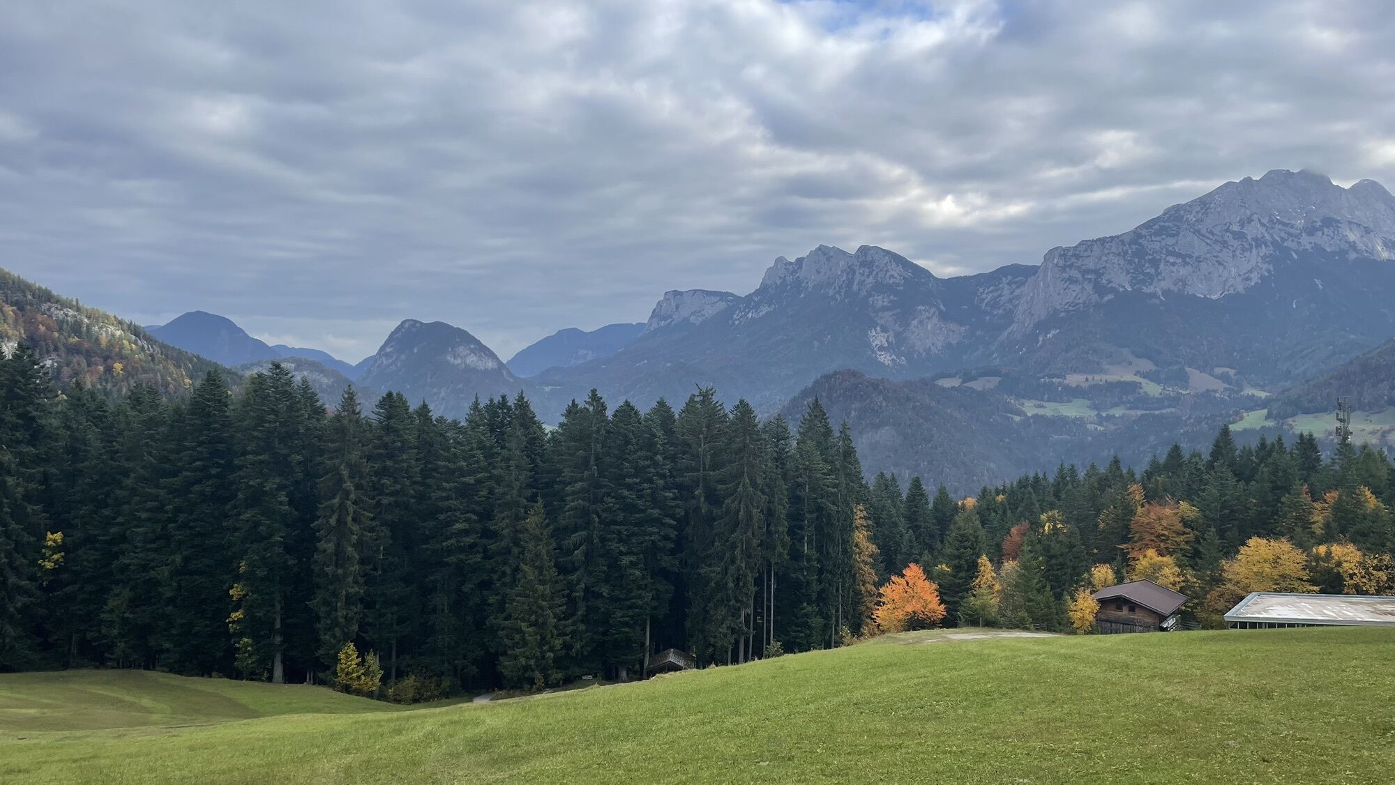

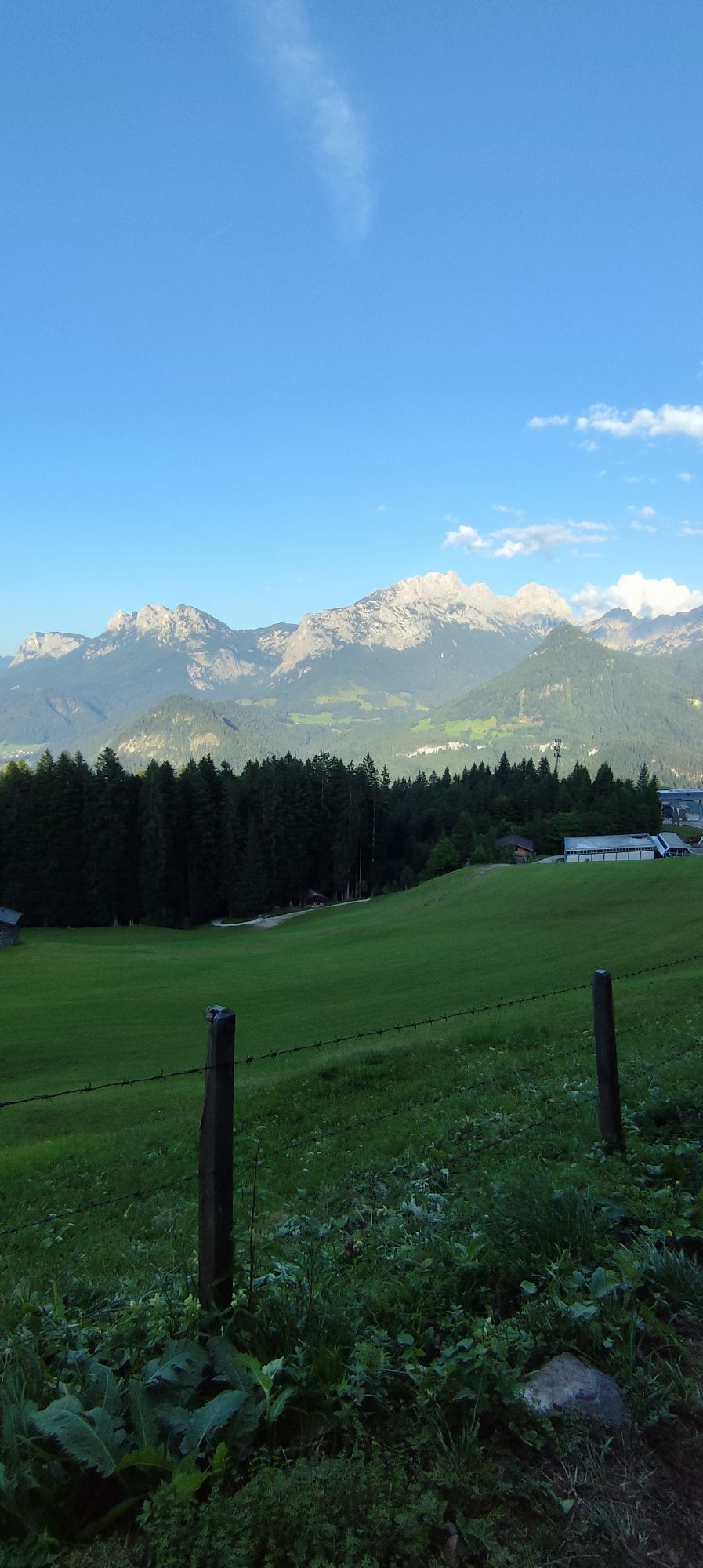
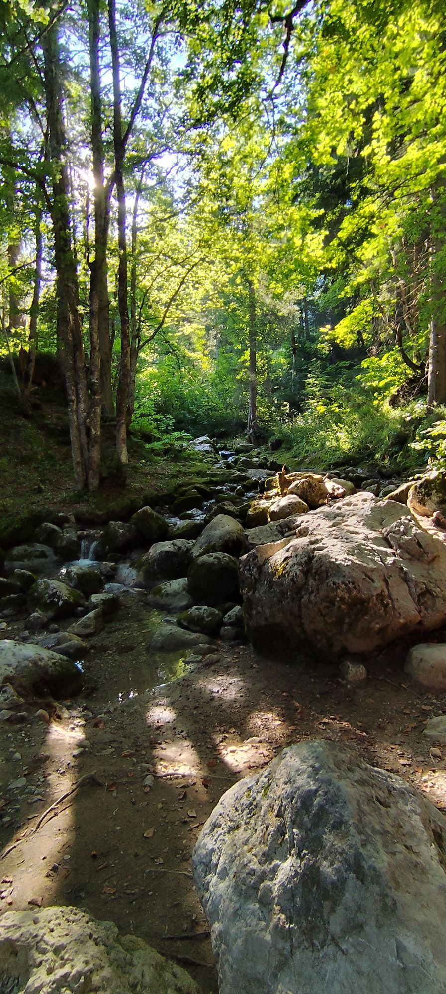
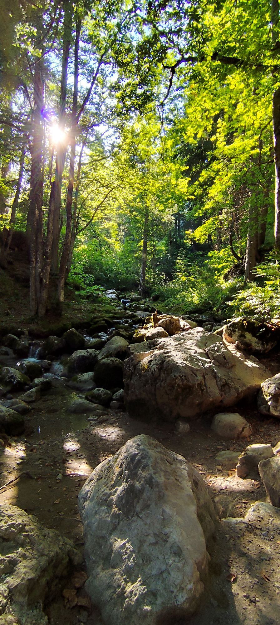
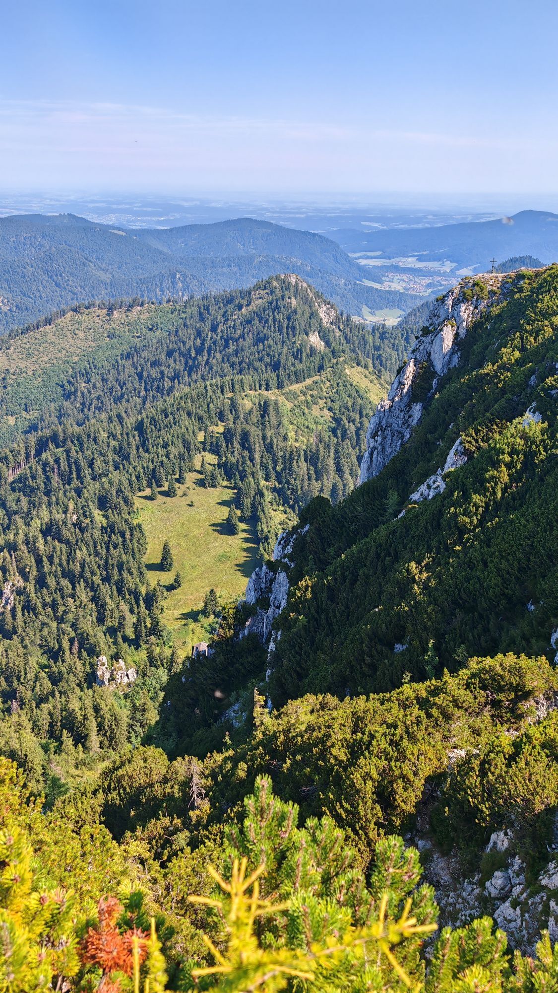
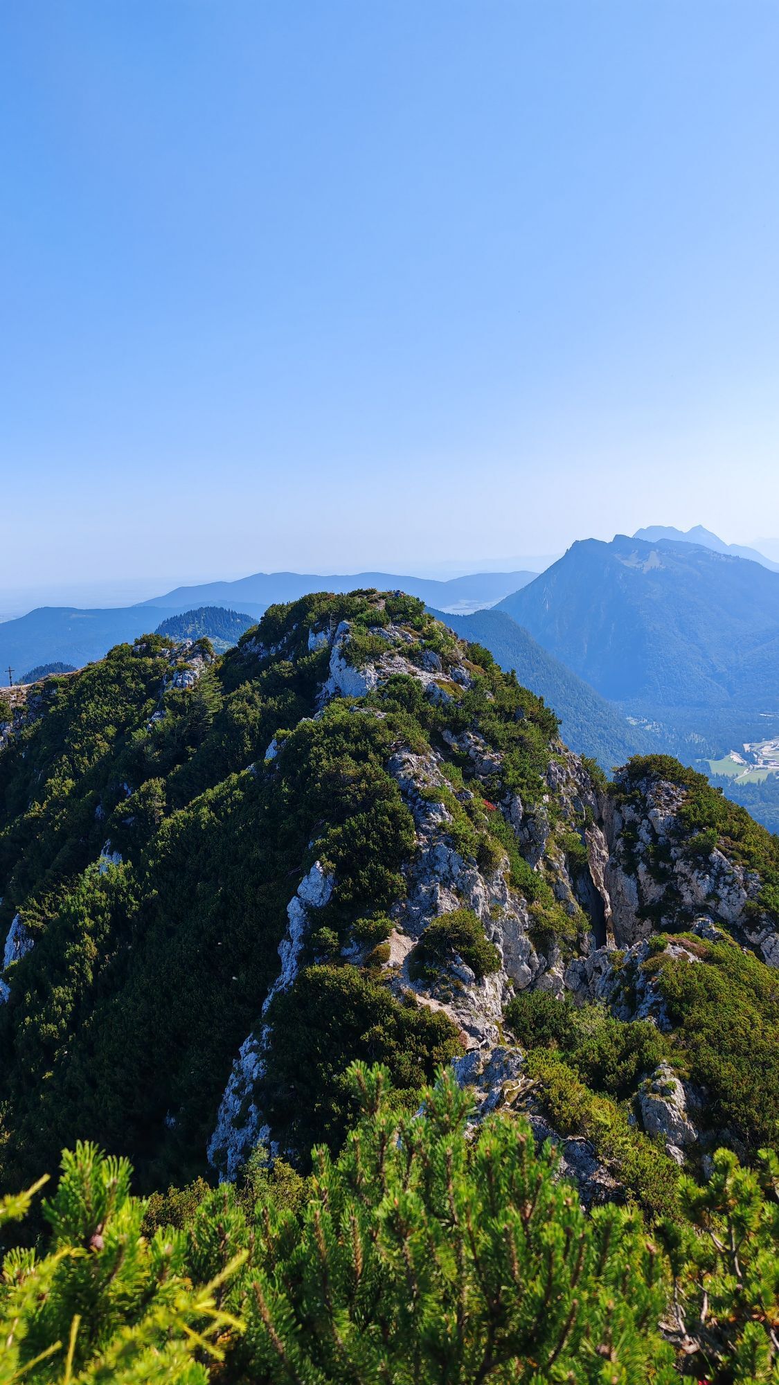
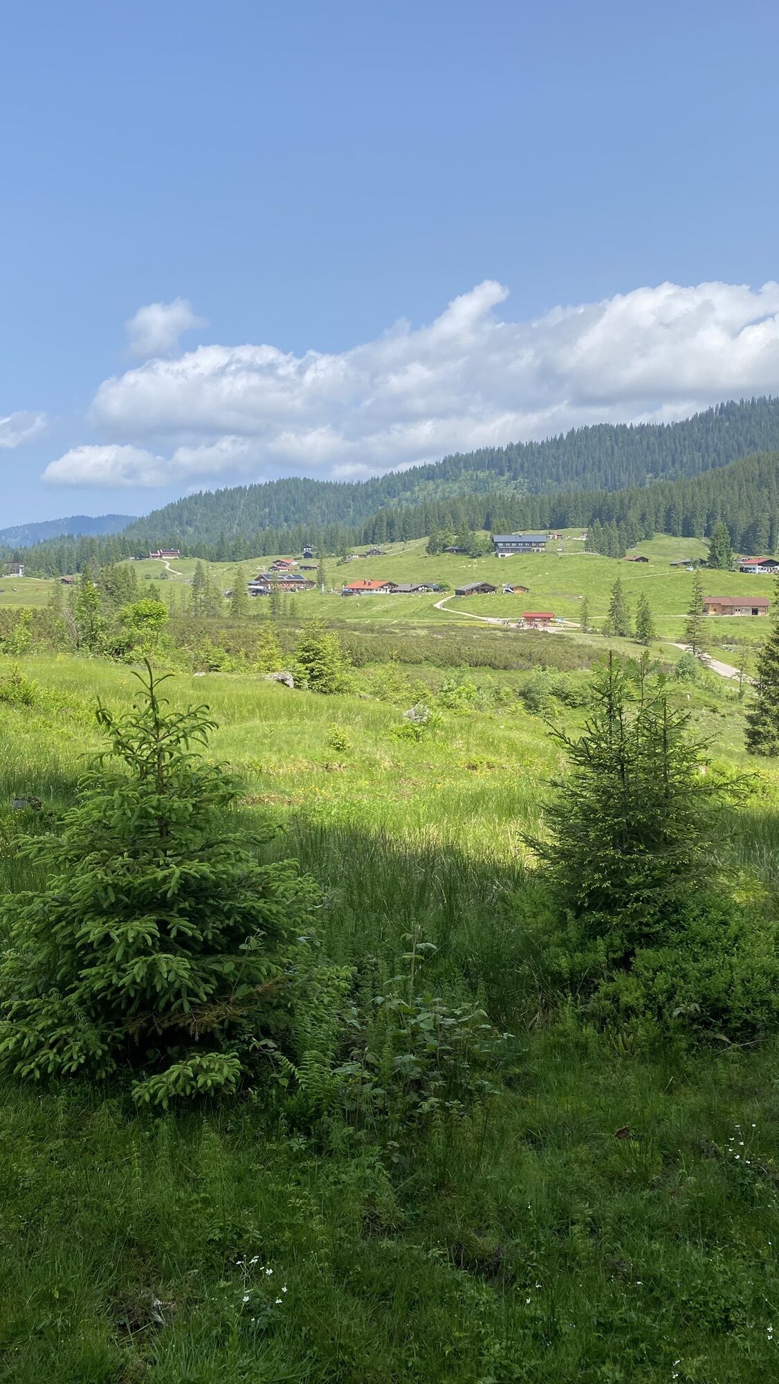

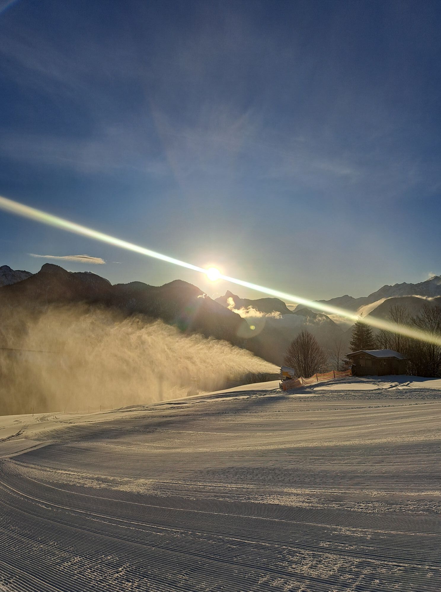
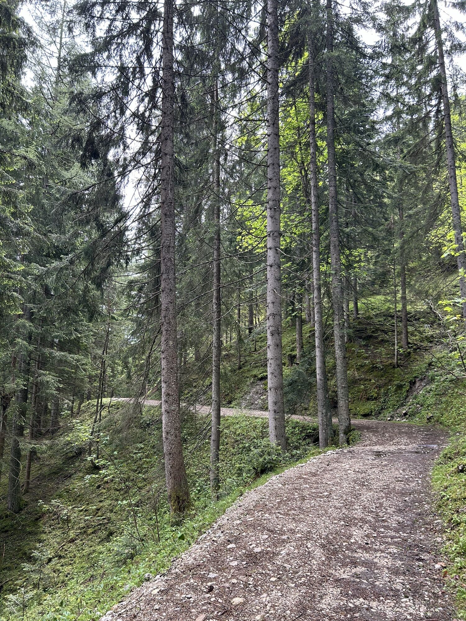
The Almenwelt Lofer and the Winklmoosalm still await you on the last stage.
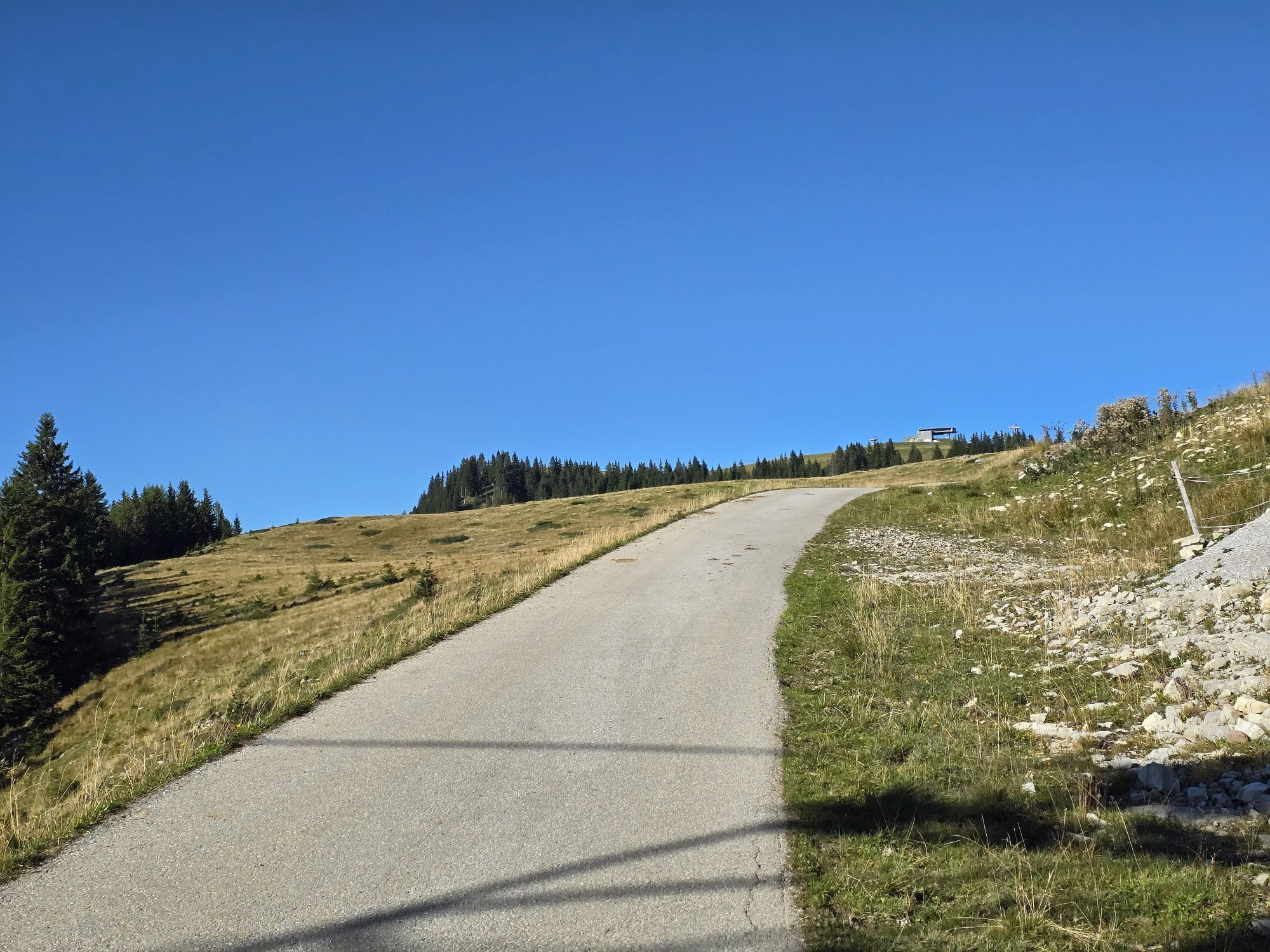
Steeply uphill at the very beginning: From Lofer, you cycle along the Höhenstraße to the Almenwelt Lofer to the highest point...
The Almenwelt Lofer and the Winklmoosalm still await you on the last stage.
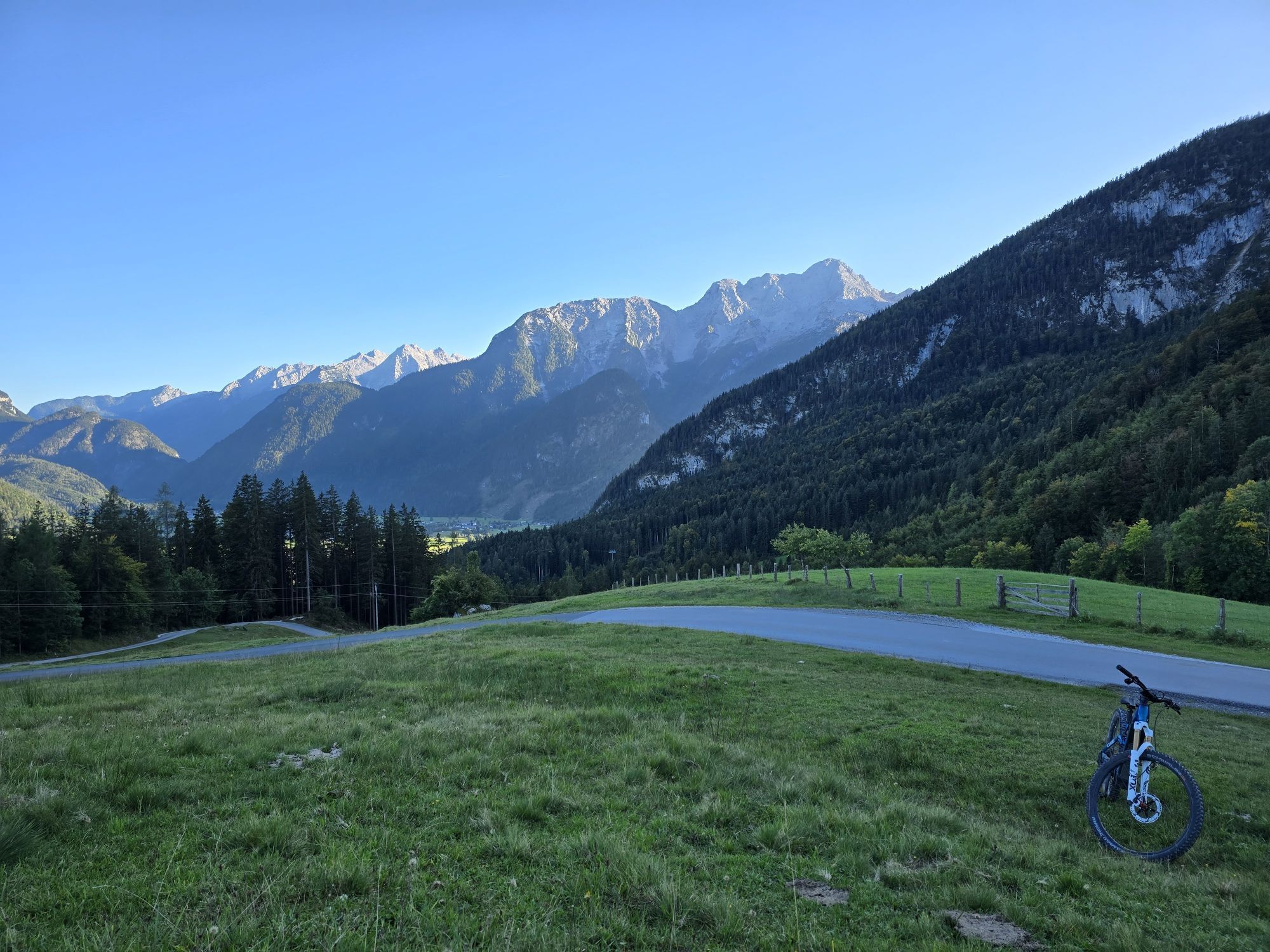
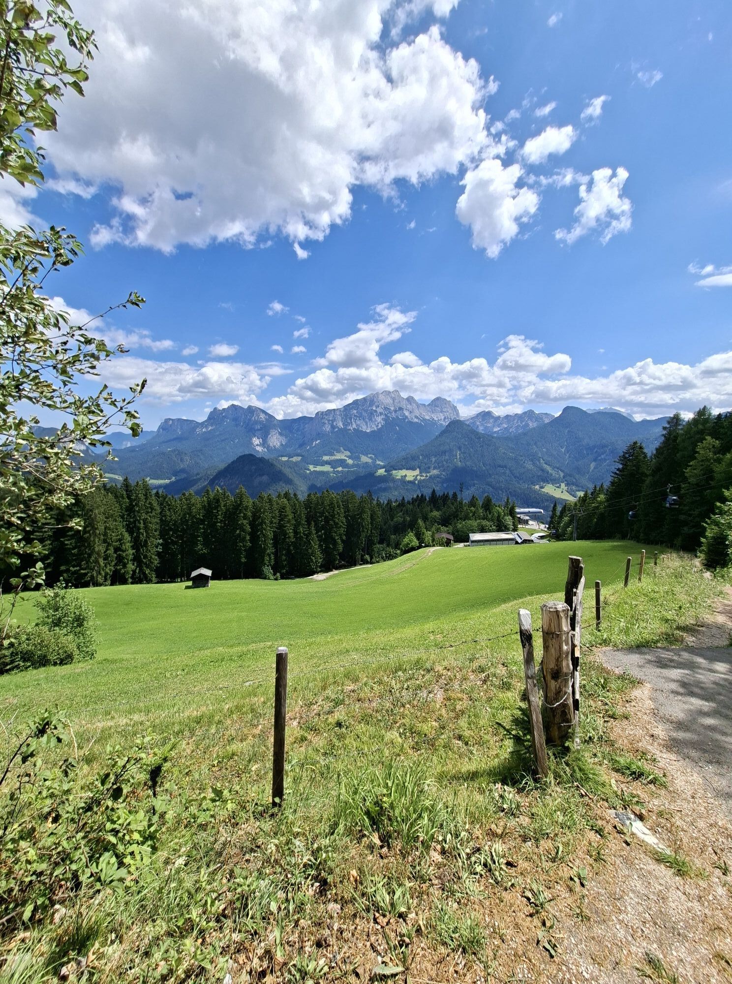
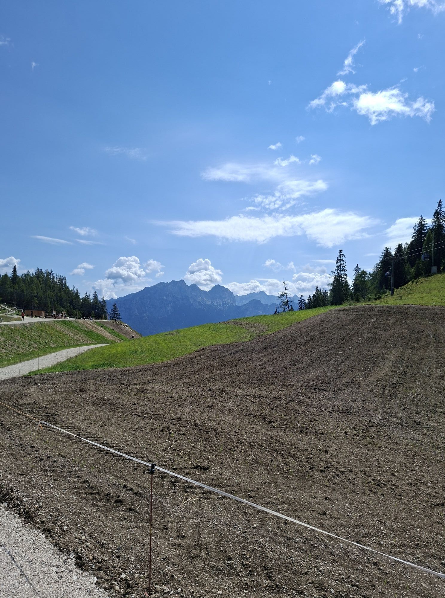
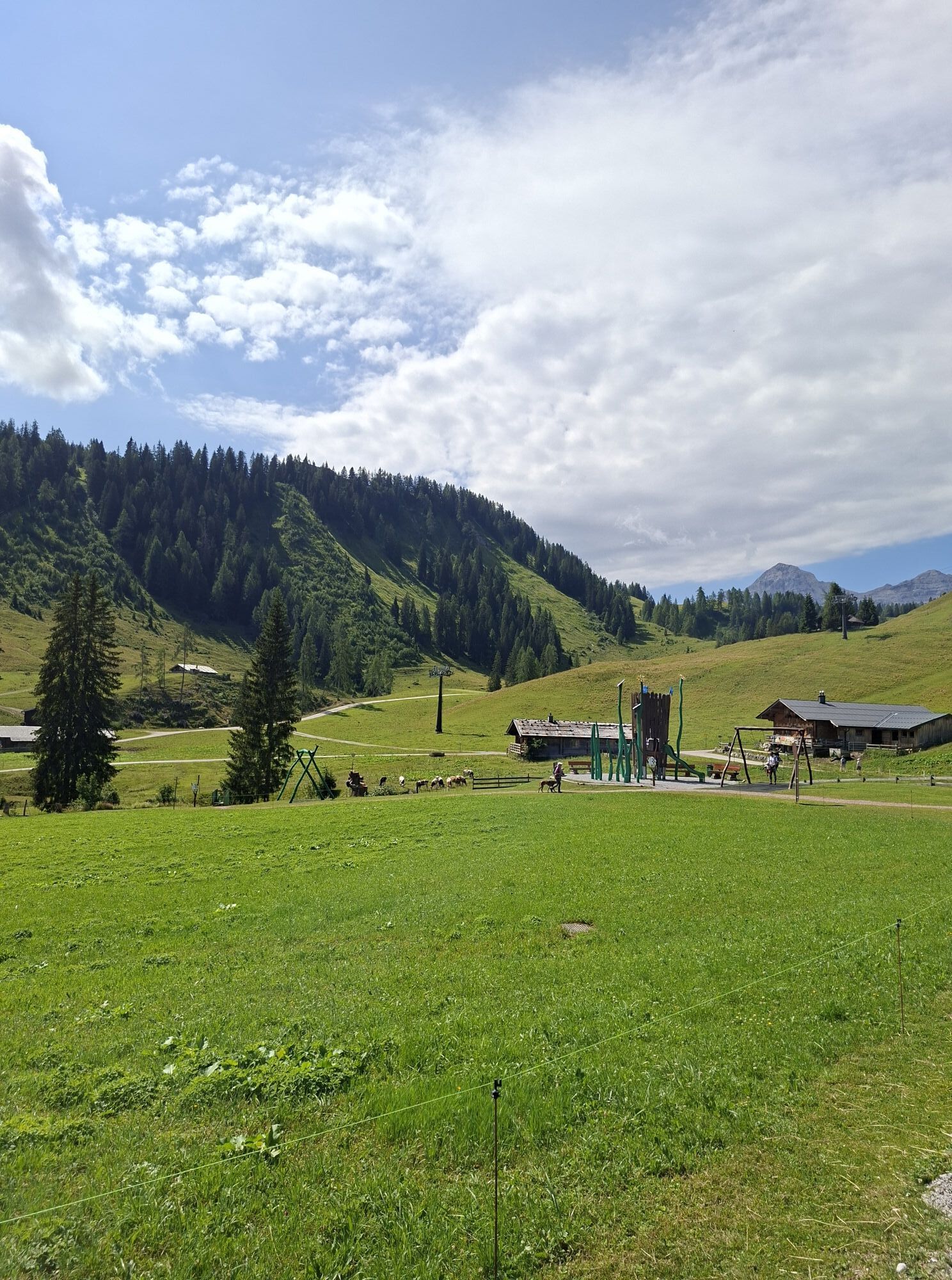
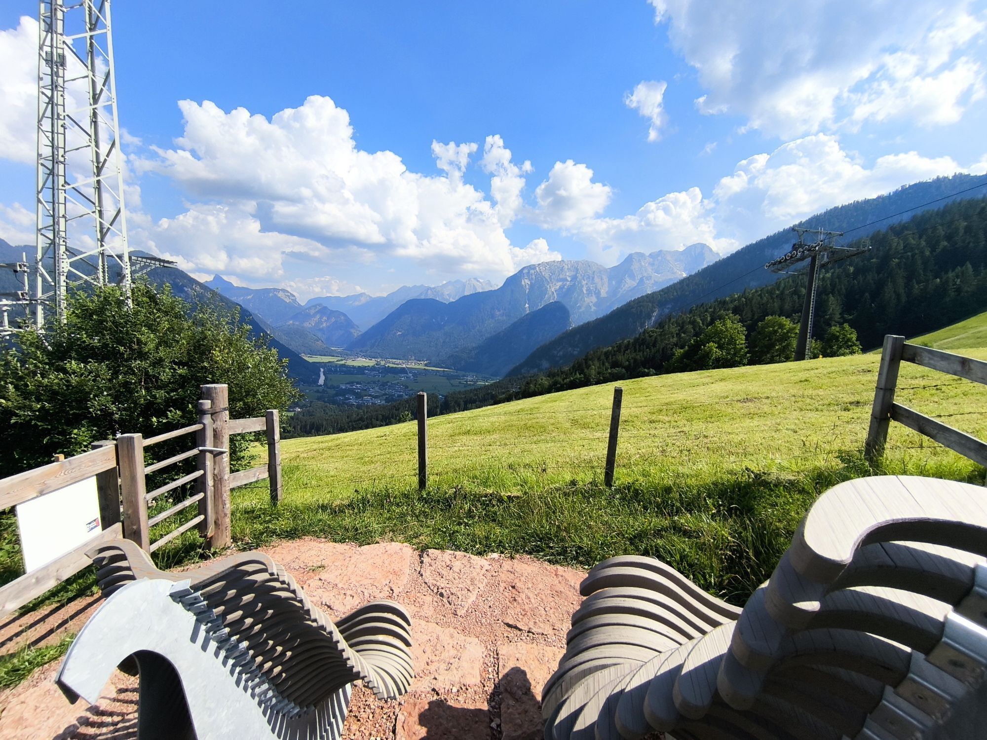
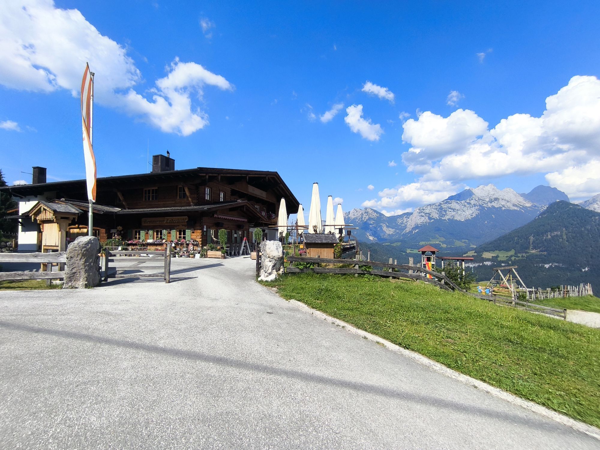
Steeply uphill at the very beginning: From Lofer, you cycle along the Höhenstraße to the Almenwelt Lofer to the highest point of the route. About 8 kilometers with 800 meters of elevation gain, but no problem for e-bikers. In the Almenwelt Lofer you will be rewarded with a beautiful panorama.
The route continues over the Fußtalstube to the Winklmoosalm in neighboring Bavaria. The last 17 kilometers go through the Unkenbach valley, past the Gasthof Friedlwirt, to your destination in Unken.

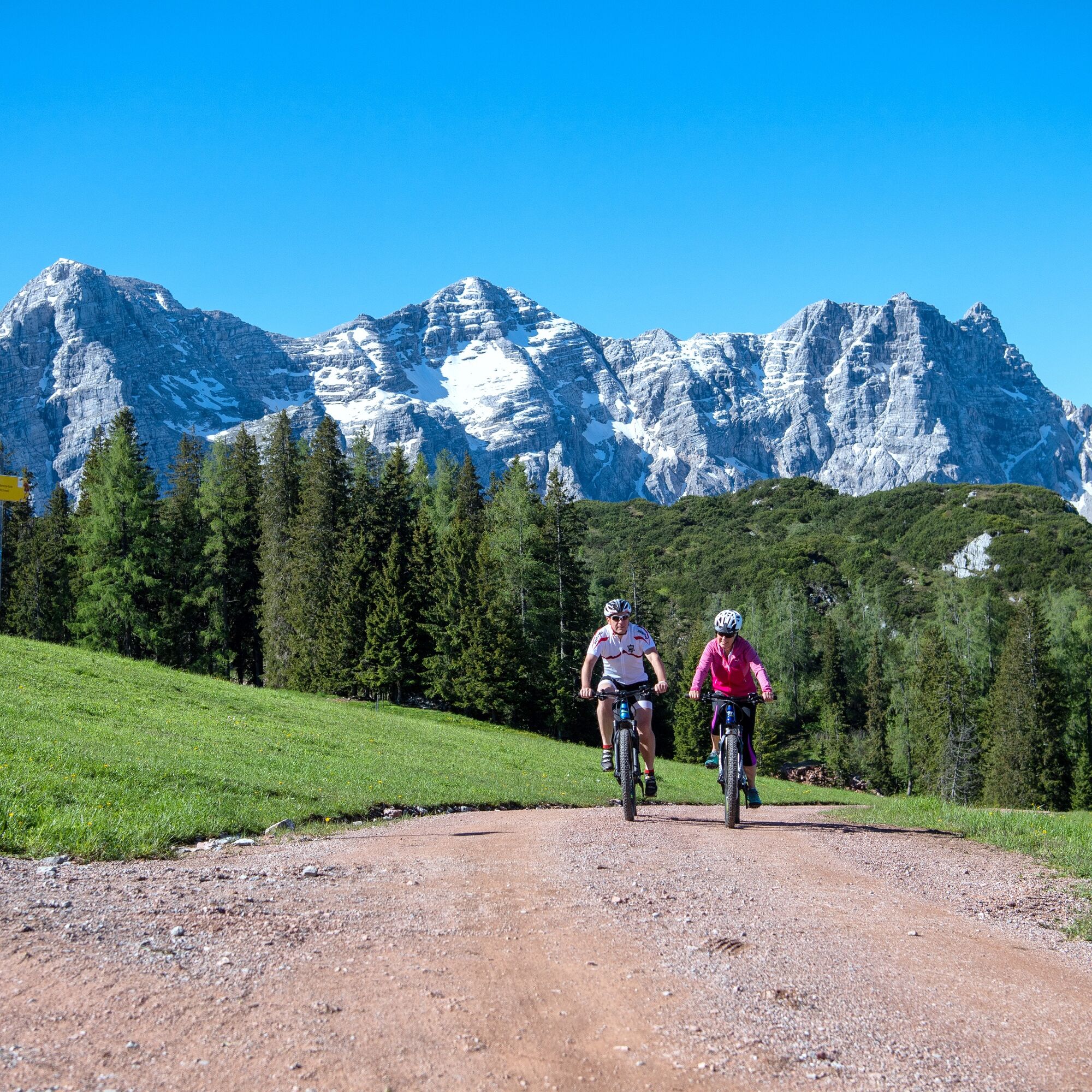
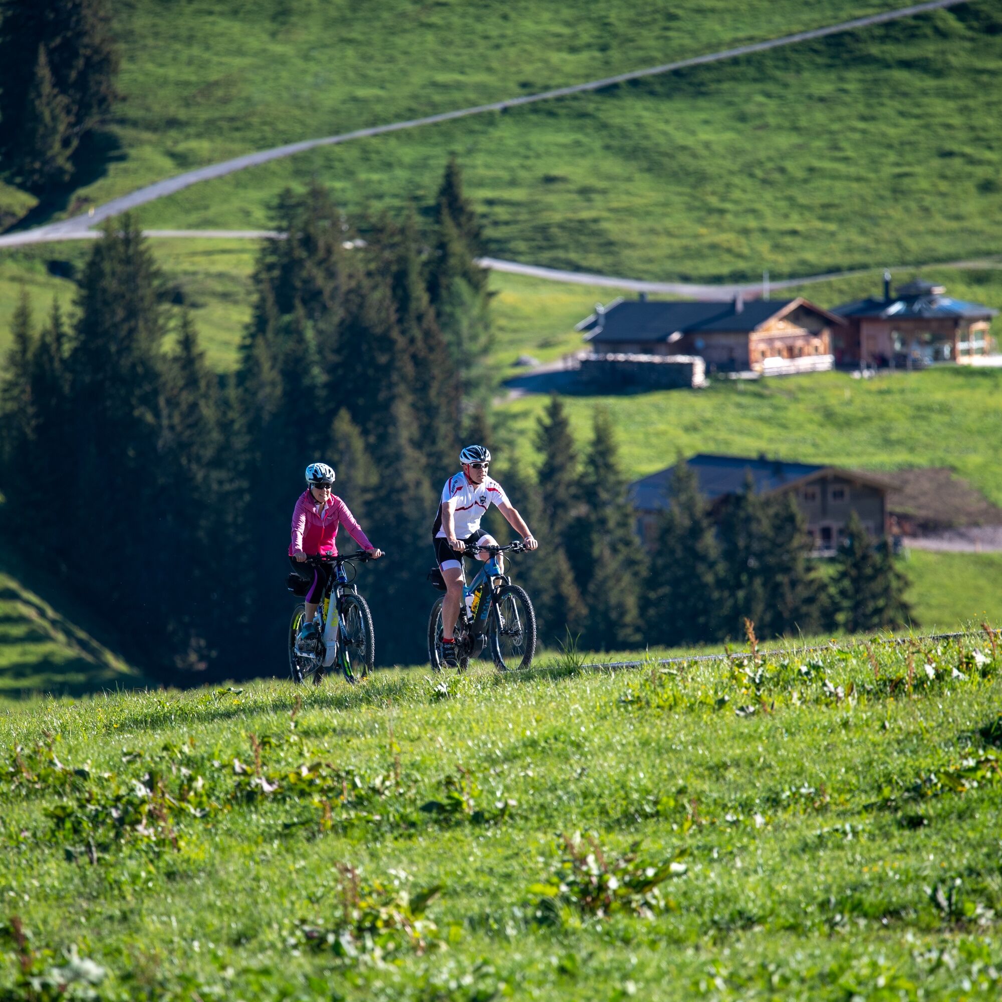
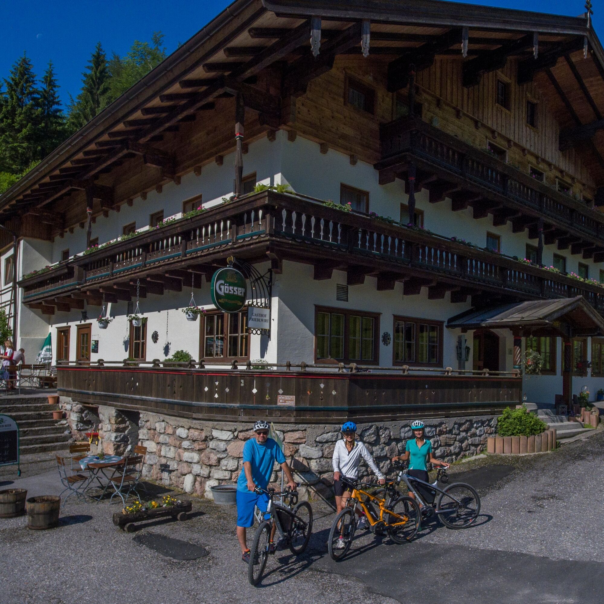
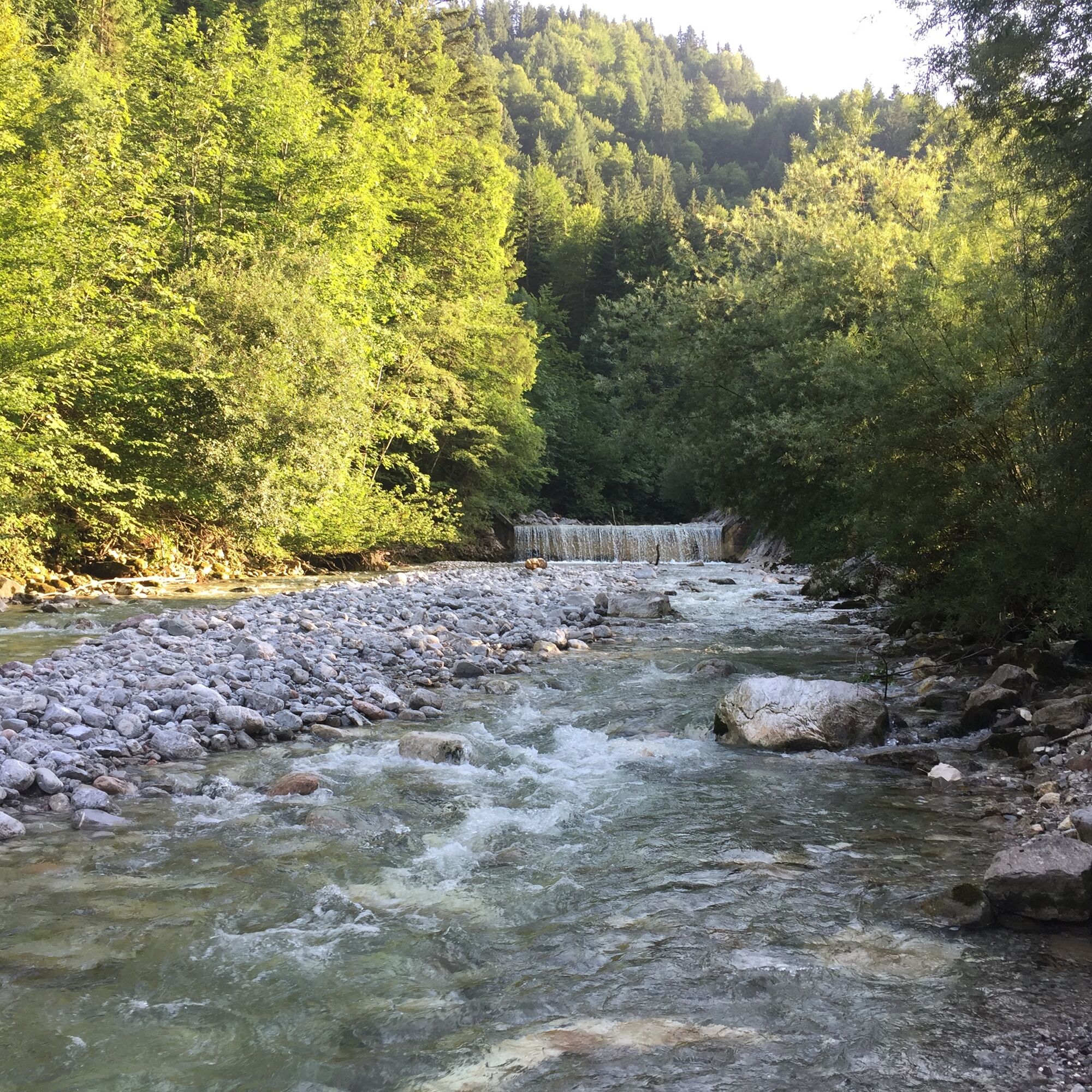

Lofer - Faistau - Loderbichl - Almenwelt Lofer - Fußtalstube - Winklmoosalm - Schwarzbergklamm - Gasthof Friedlwirt - Unken.
In addition to a water bottle, we recommend sturdy footwear, warm clothing and rain protection, repair kit, first aid kit, mobile phone, light, gloves, sunglasses, and something to eat. And of course, don’t forget the helmet.
Die Bayer. Staatsforsten AöR – Forstbetrieb St. Martin – möchte darüber informieren, dass im Unkental an der Schwarzbergklammbrücke Sanierungsarbeiten durchgeführt werden. In Zuge dessen muss die Brücke von 16.04.2026 bis voraussichtlich Ende Juni 2026 für den gesamten Verkehr einschließlich Fußgänger gesperrt werden. Für Radfahrer ist eine Umleitung über Rudersbach/Schwarzberghöhe/Mitterfußtalstube beschildert.
Via B311 or B178 to Lofer
By line bus 260 (timetable) to the Lofer - Neue Mittelschule/TVB stop
Free of charge at the large parking lot Lofer (P2)
2
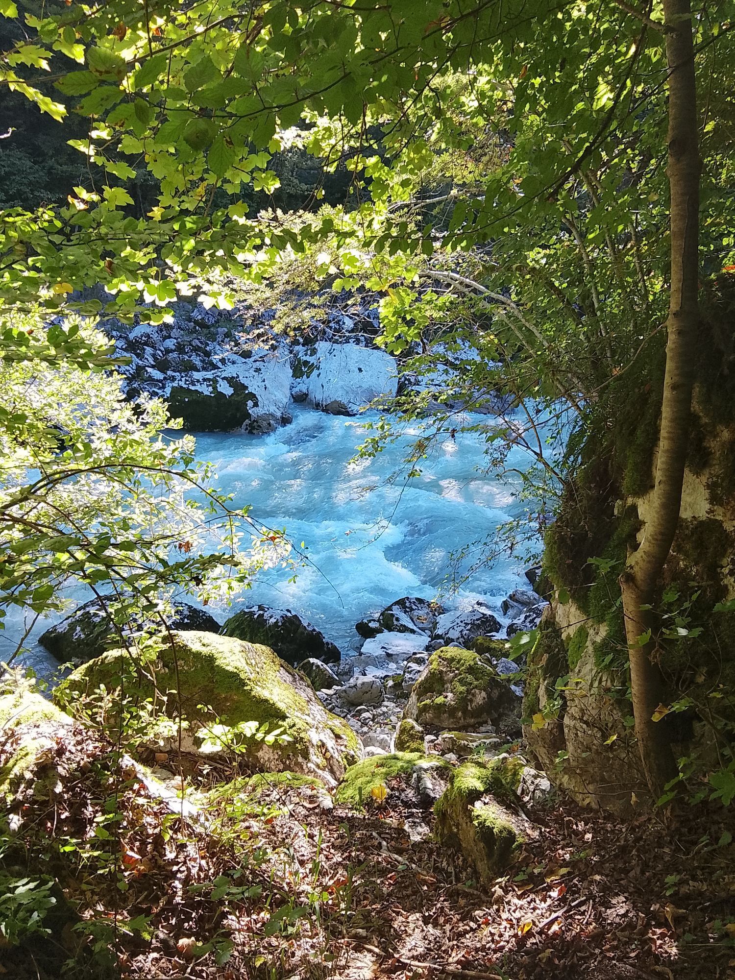
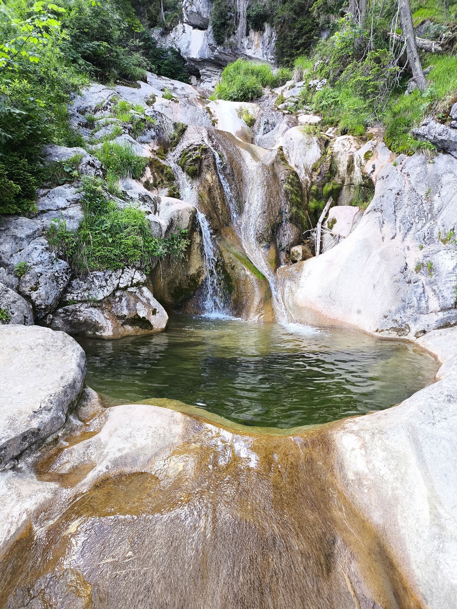
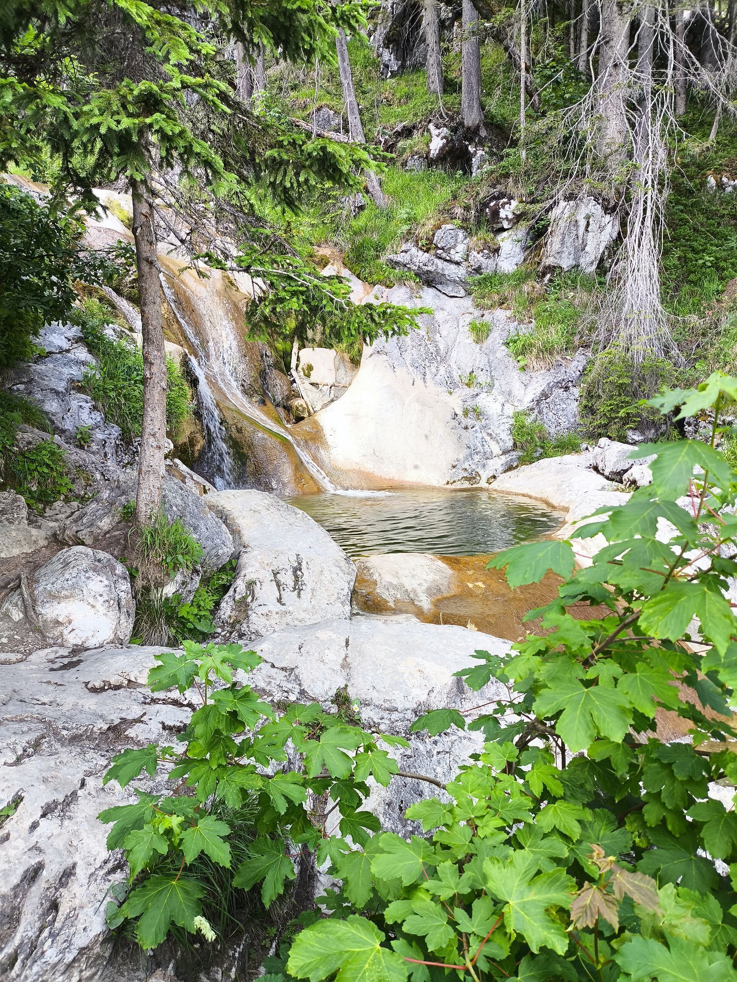
Shortly before the destination, traditional Austrian tavern cuisine awaits you at the Gasthof Friedlwirt along with a wild swimming area.
Kamery internetowe z trasy
-
Schwarzlofer
-
Waidring - Kammerkör
-
Winklmoosalm
-
Almenwelt Lofer
-
Almenwelt Lofer
-
Almenwelt Lofer
-
Almenwelt Lofer
-
Almenwelt Lofer
-
Almenwelt Lofer
-
Almenwelt Lofer
-
Almenwelt Lofer
-
Almenwelt Lofer
-
Loderbichl - Talblick von Mittelstation, 1000 m
-
Waidring
-
Reit im Winkl - Winklmoosalm
-
Almenwelt Lofer - Talstation
-
Heutal - Wildalm Talstation
-
Lofer
-
Heutal - Sattelkurvenlift Berg
-
Waidring Schweizerhof
-
Heutal Lifte Unken - Wildalm Bergstation
-
Waidring Kammerkör
-
Schwarzlofer
Uzyskaj wgląd
Zawsze na żywo z ponad 9 500 kamer internetowych. bergfex Jako użytkownik Pro, możesz teraz zobaczyć odpowiednie kamery internetowe dla wielu wycieczek w aplikacji wycieczki od. Pozwala to na bezpośredni podgląd aktualnych warunków.
Popularne wycieczki w okolicy
-
4,2
Erpfendorf: Griesbachklamm
średniWędrówka 10 km -
4,8
Atemberaubende Aussicht auf dem Dürrnbachhorn
średniWędrówka 8,44 km -
4,7
Loferer Steinberge, zum Hinterhorn über die Schmid-Zabierow Hütte, 19.06.22
ciężkiWędrówka 14,0 km -
4,5
Seisenberg Gorge
światłoWędrówka 2,41 km -
4,7
Over the waterfall trail into the Almenwelt Lofer
średniWędrówka 3,29 km -
4,5
Unternberg
światłoWędrówka 9,20 km -
4,7
CHIEMGAU: Hörndlwand (1684m), Gurnwandkopf (1691m)
światłoWędrówka 12,6 km -
3,4
From Heutal to Sonntagshorn in the Salzburger Saalachtal
średniWędrówka 11,7 km -
4,3
unternberg Ruhpolding, Bayern
średniWędrówka zimą 3,82 km -
4,8
Hochfelln ab Glockenschmiede und zurück über Farnbödenalmen
średniWędrówka 13,1 km
Wędrówki i tropienie


Nie przegap ofert i inspiracji na następne wakacje
Twój adres e-mail została dodana do listy mailingowej.





