






Krimmler Achental – Windbachtal
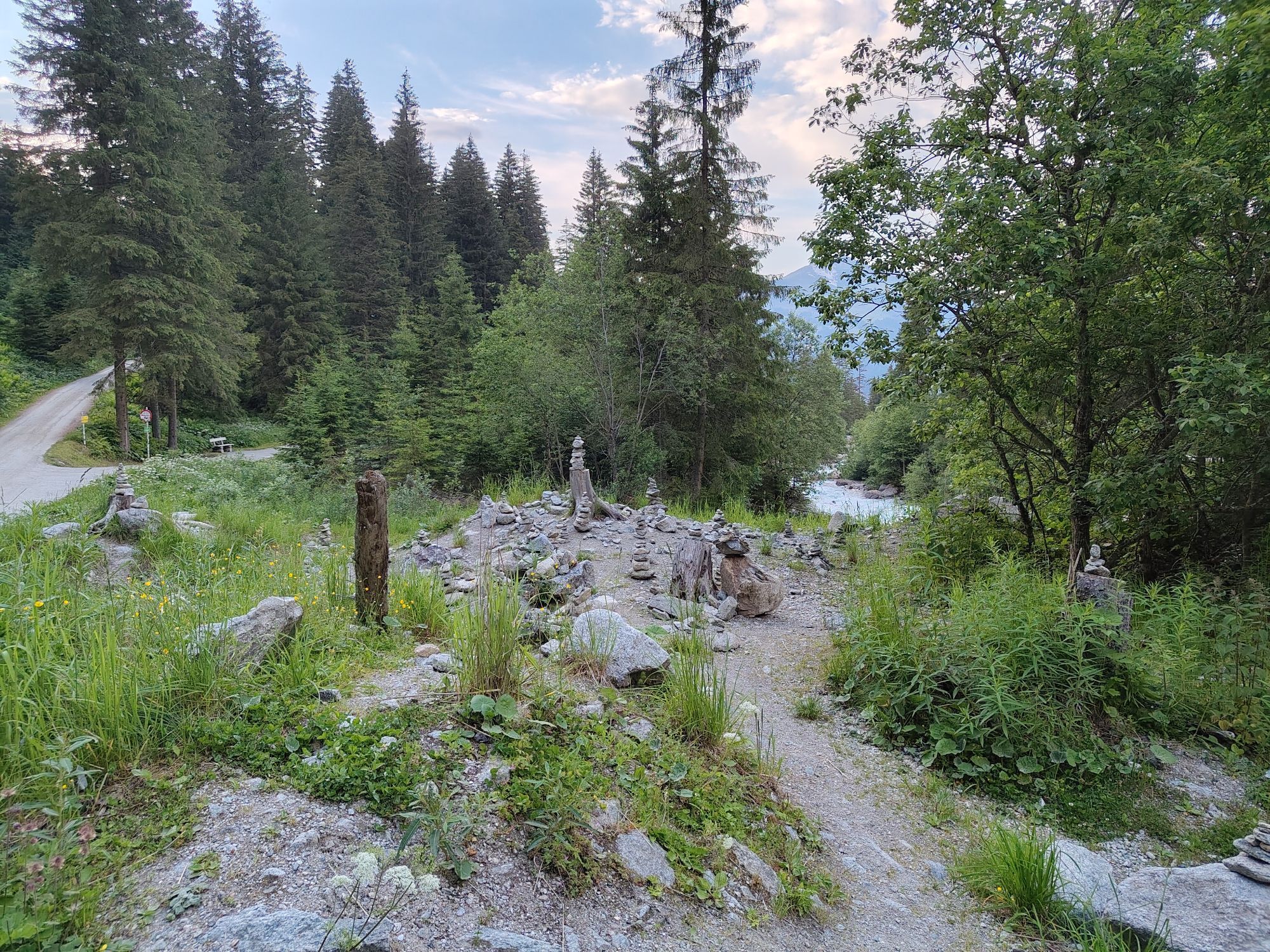
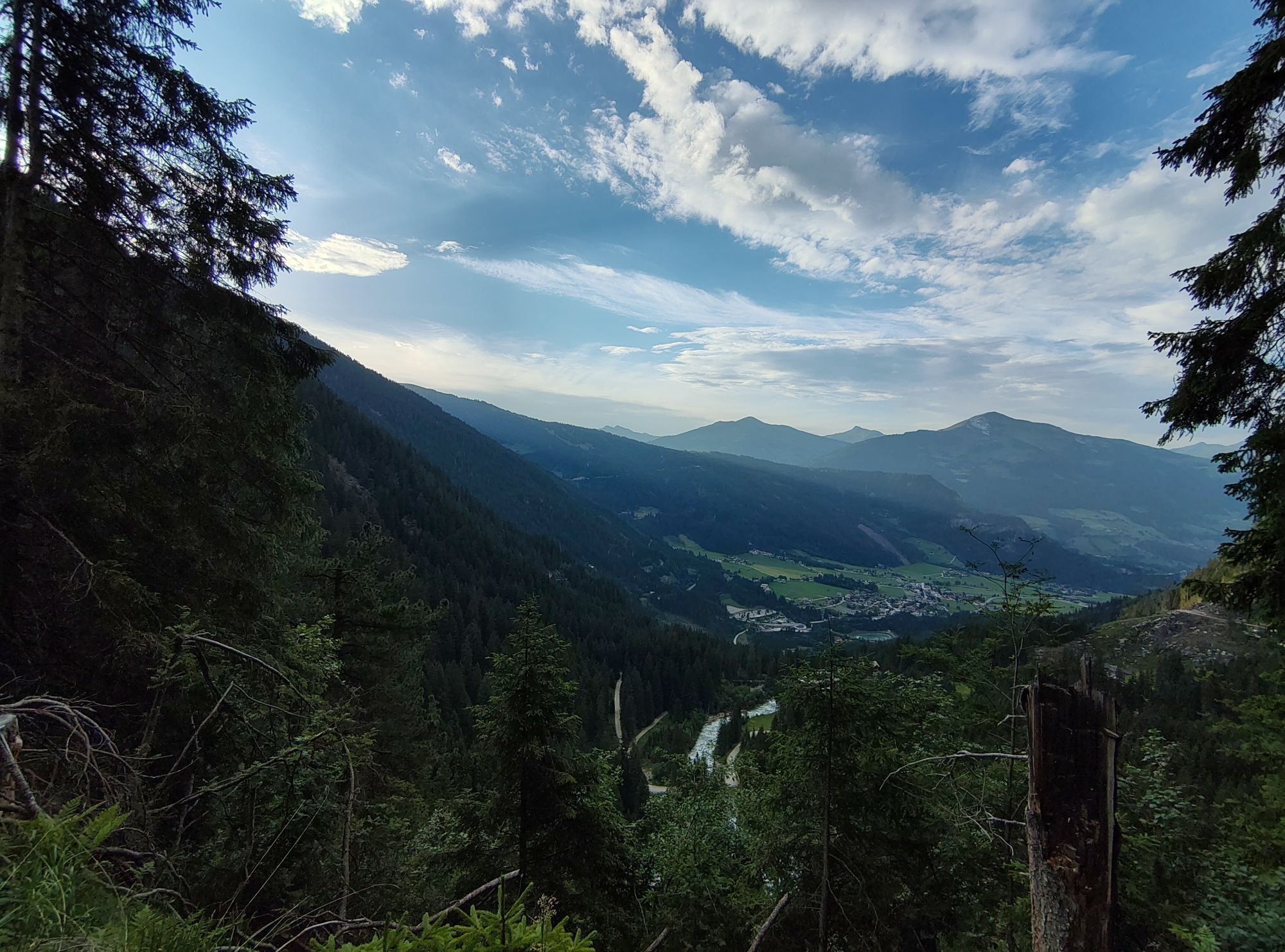
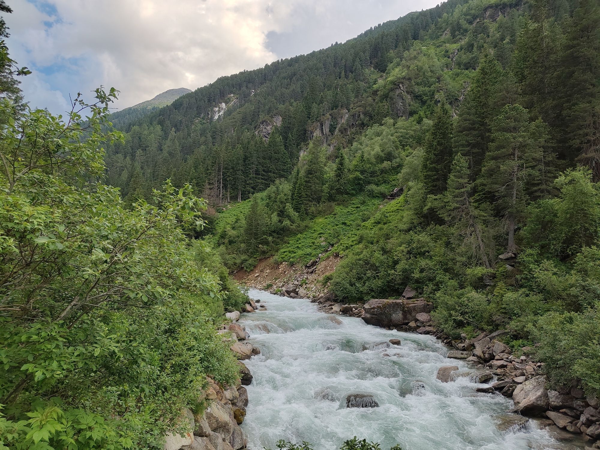
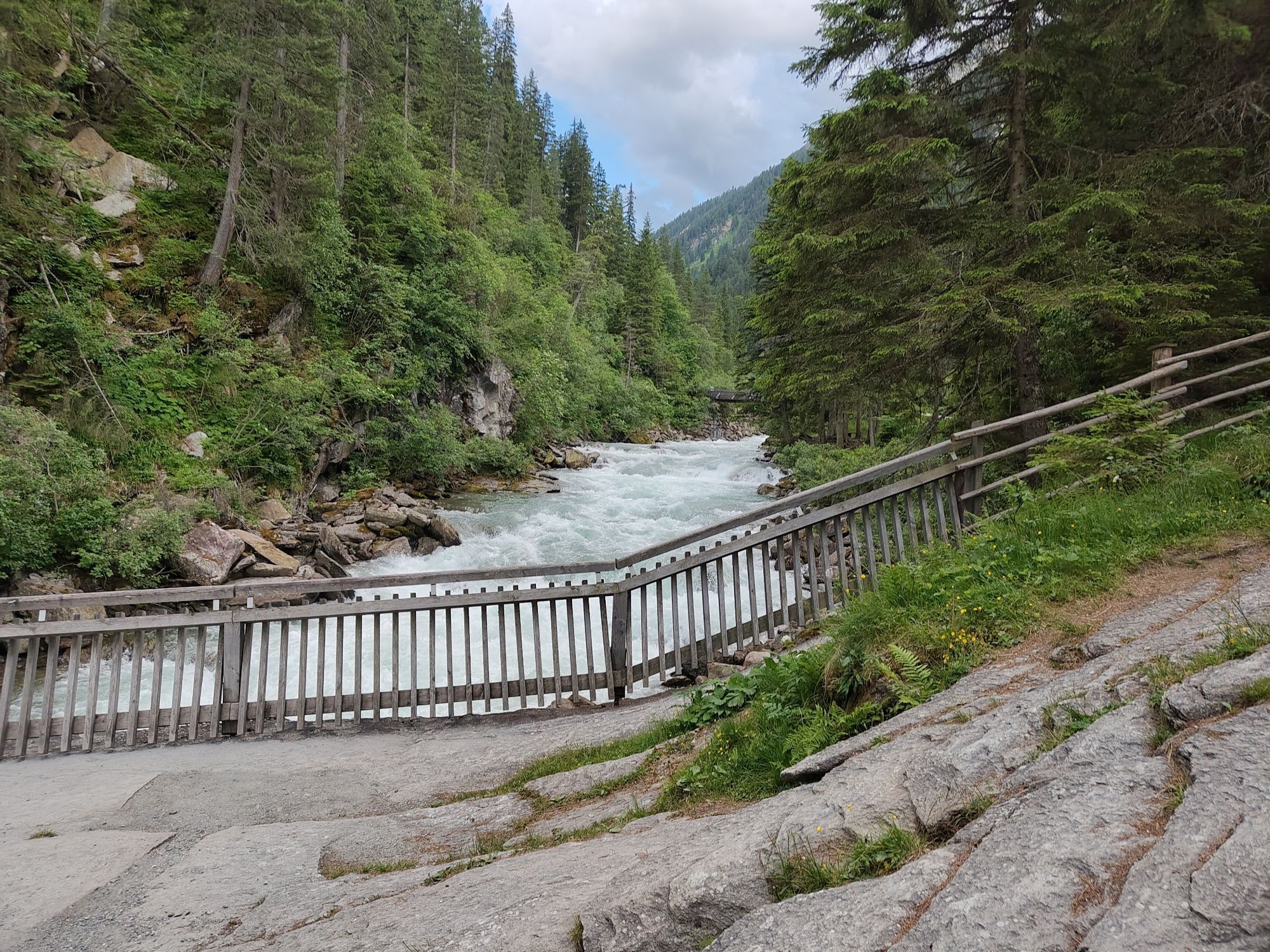
From Krimml village, the first section leads over the Gerlos Alpine Road. After about 2.0 km, turn left onto the forest track towards Krimmler Achental. Along the Krimml Waterfalls you ride through the...
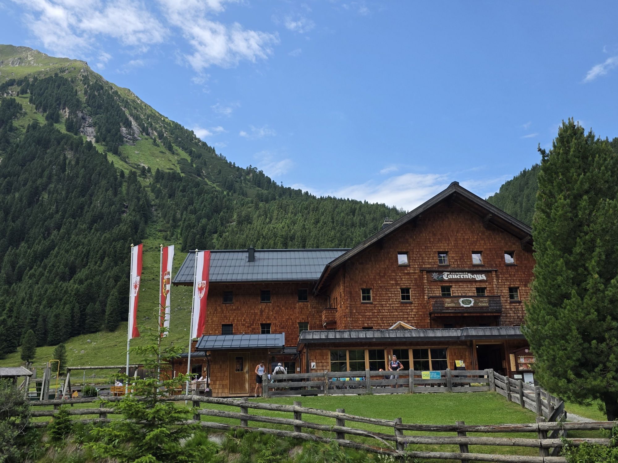
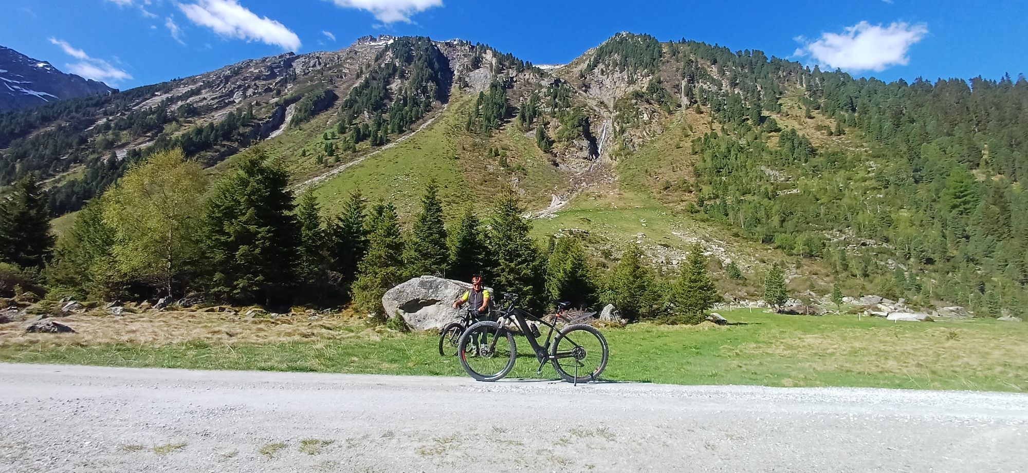
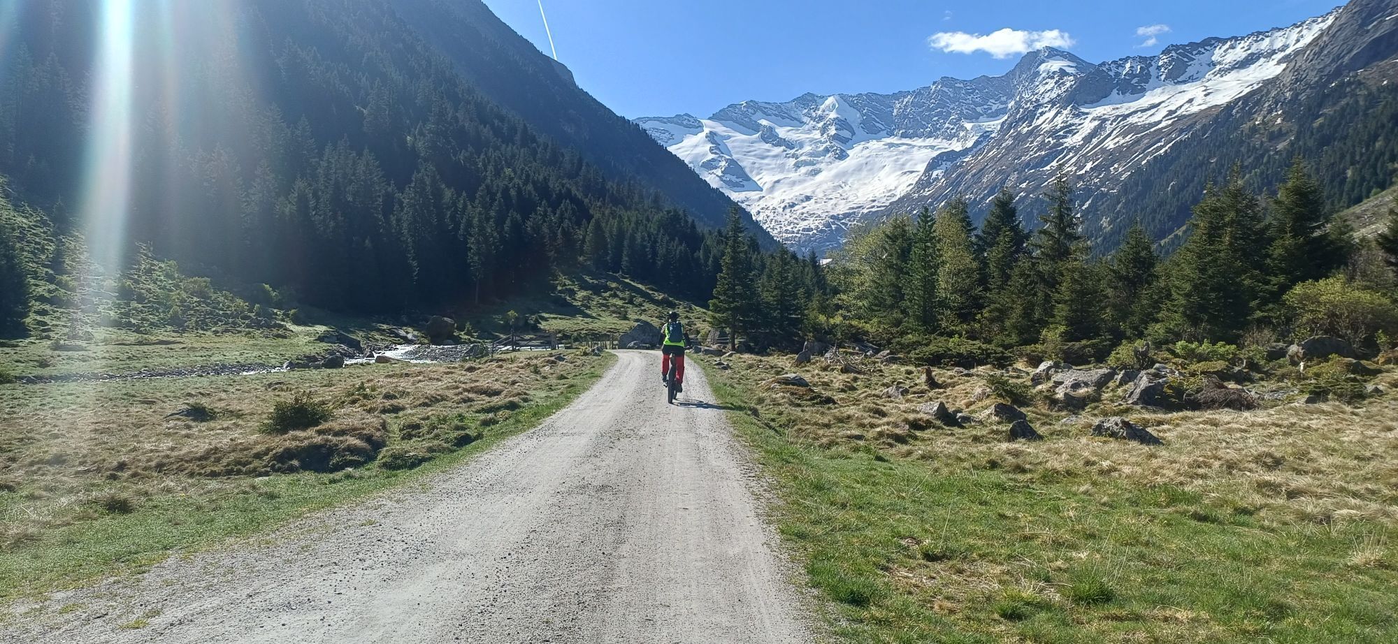
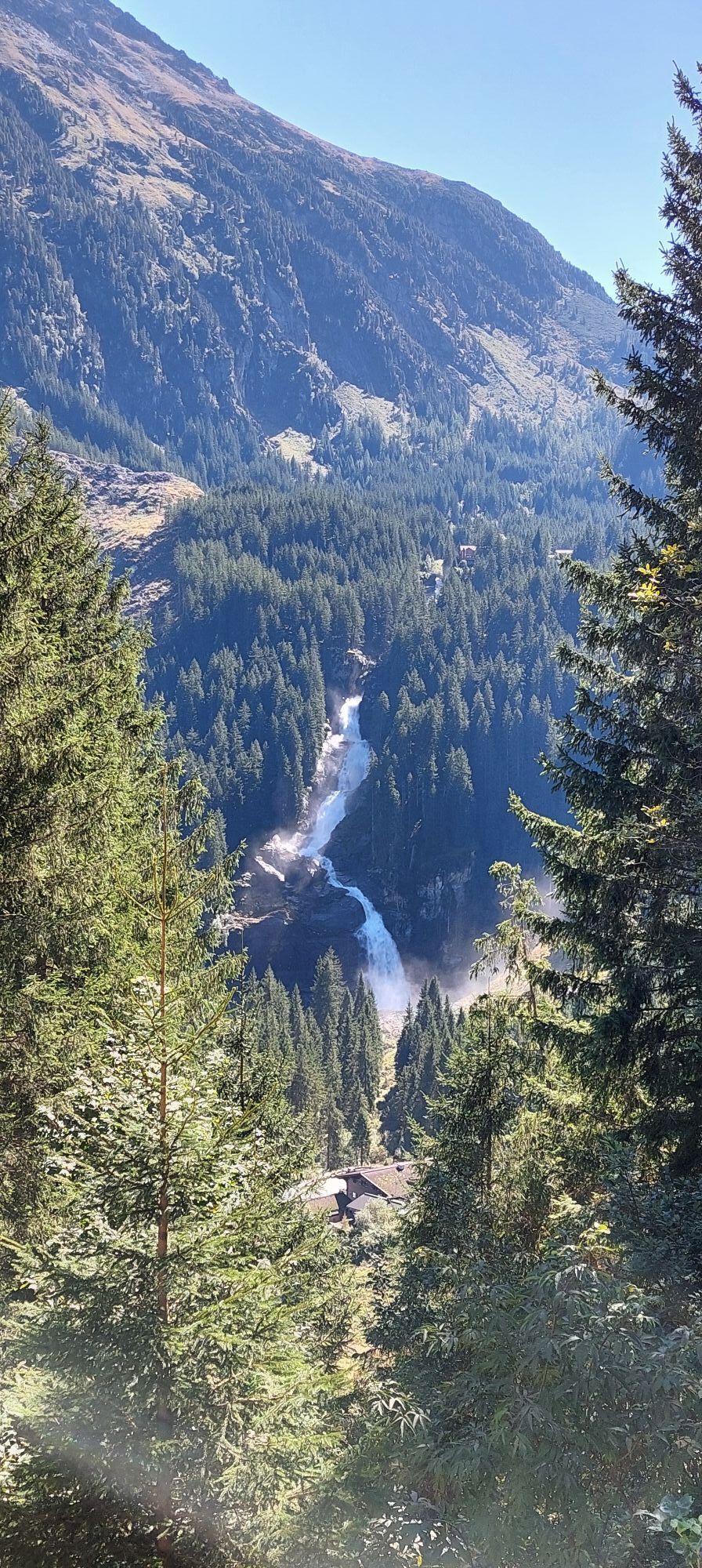
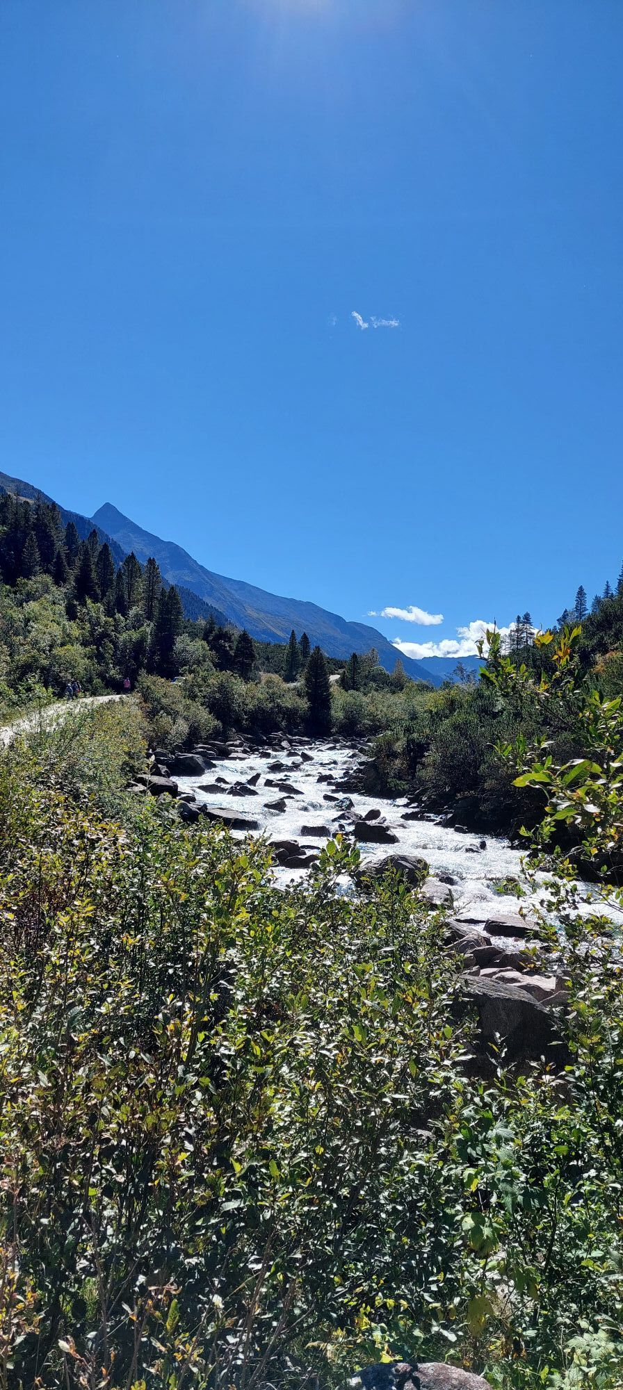
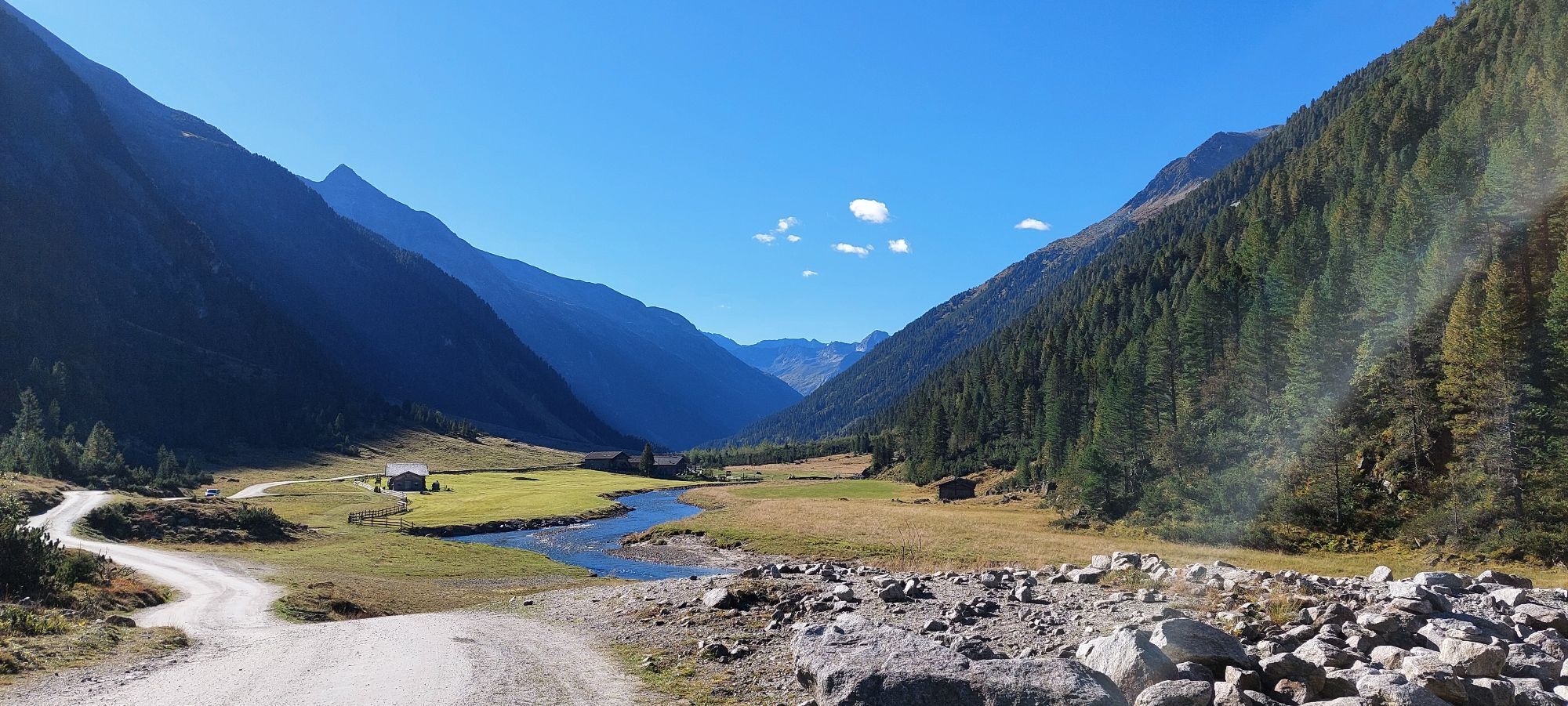
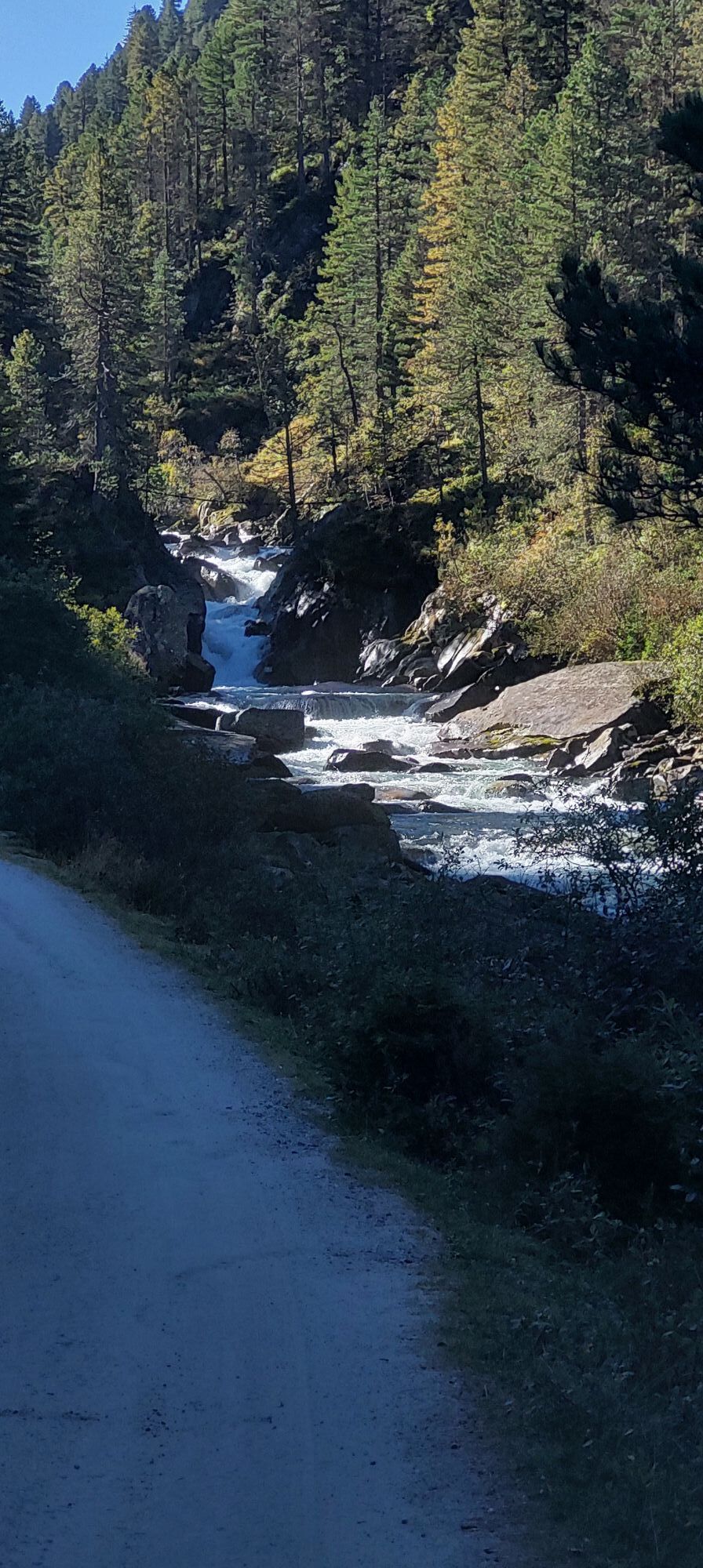
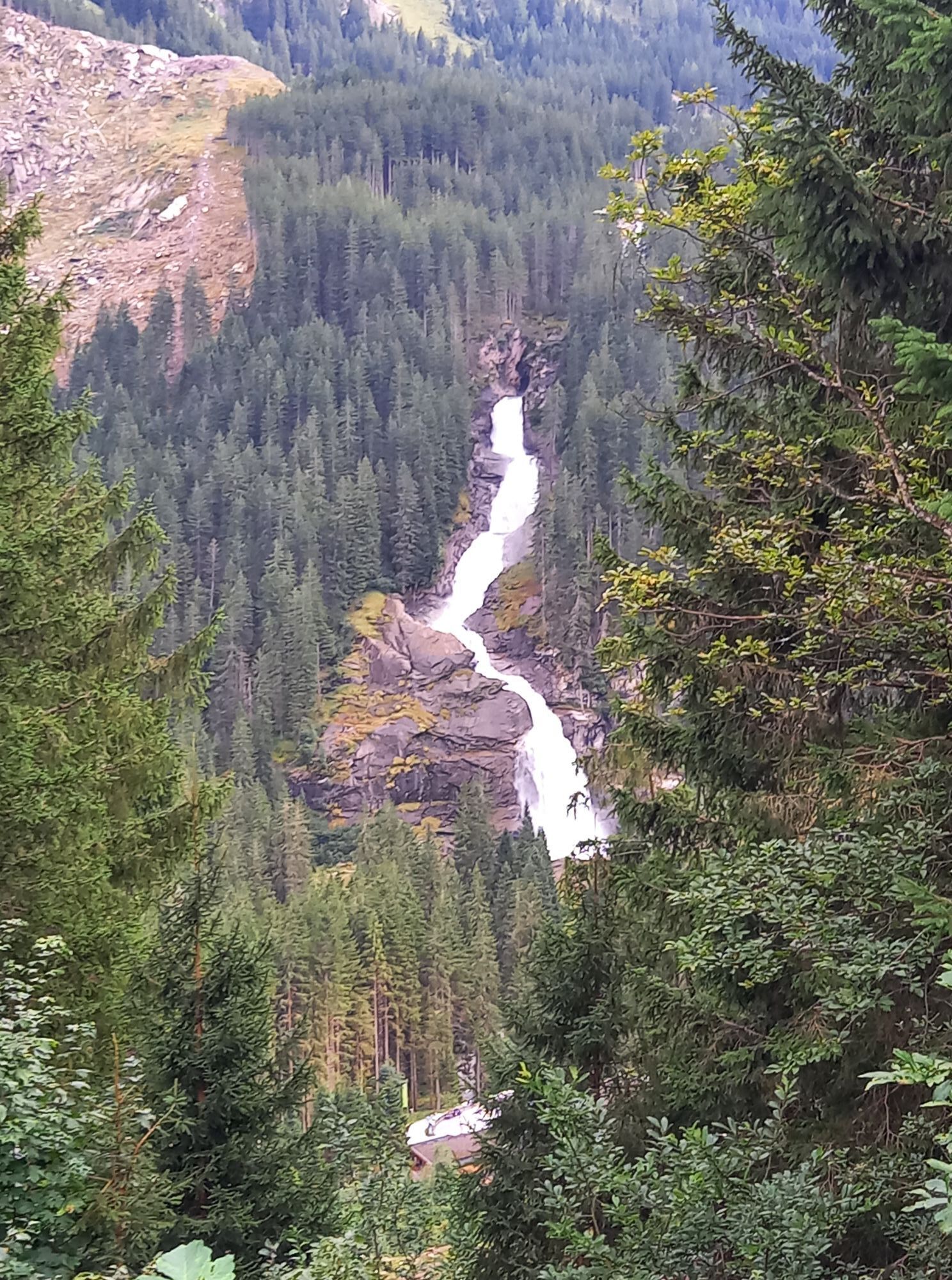
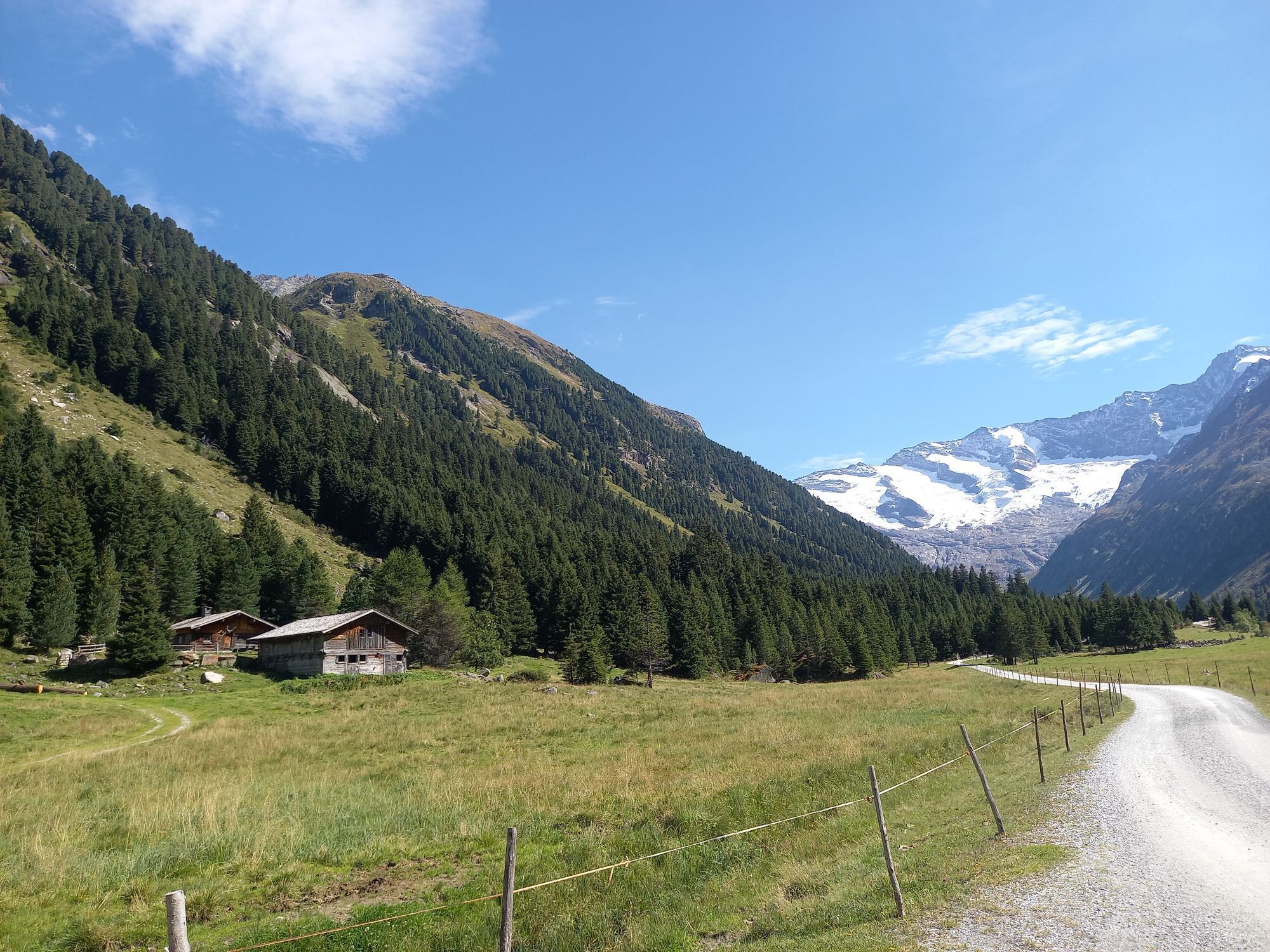
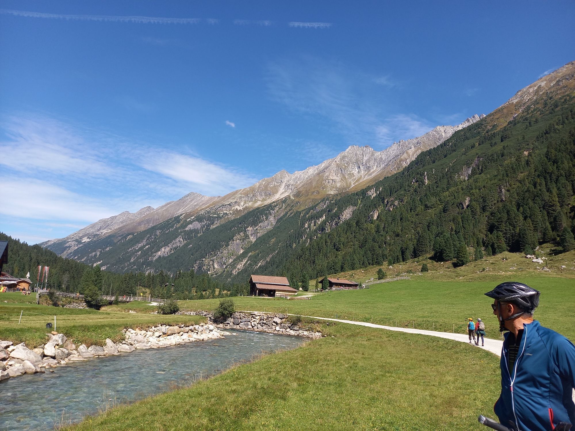
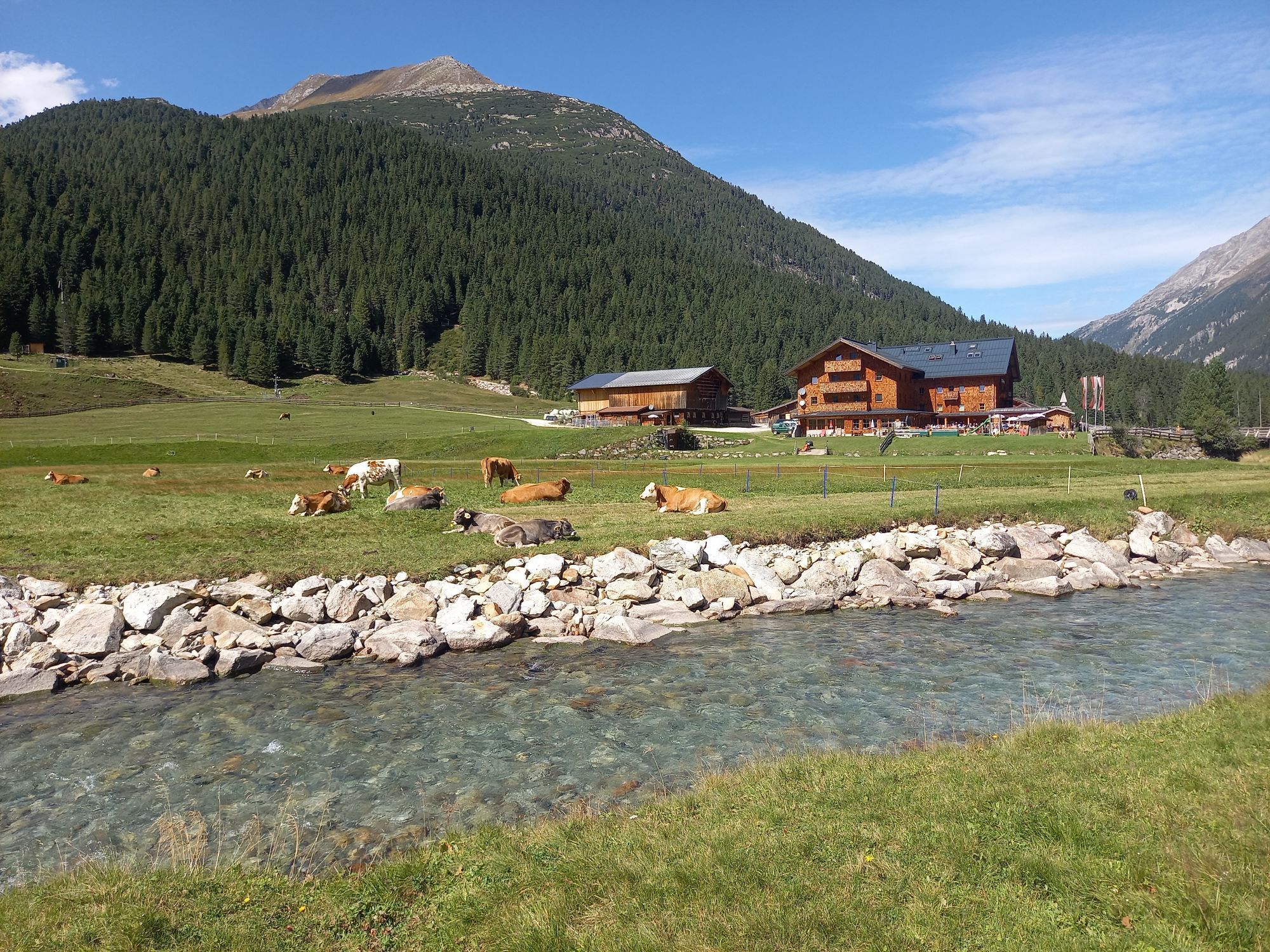
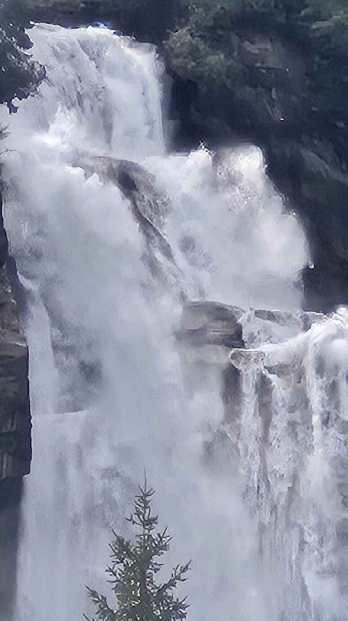
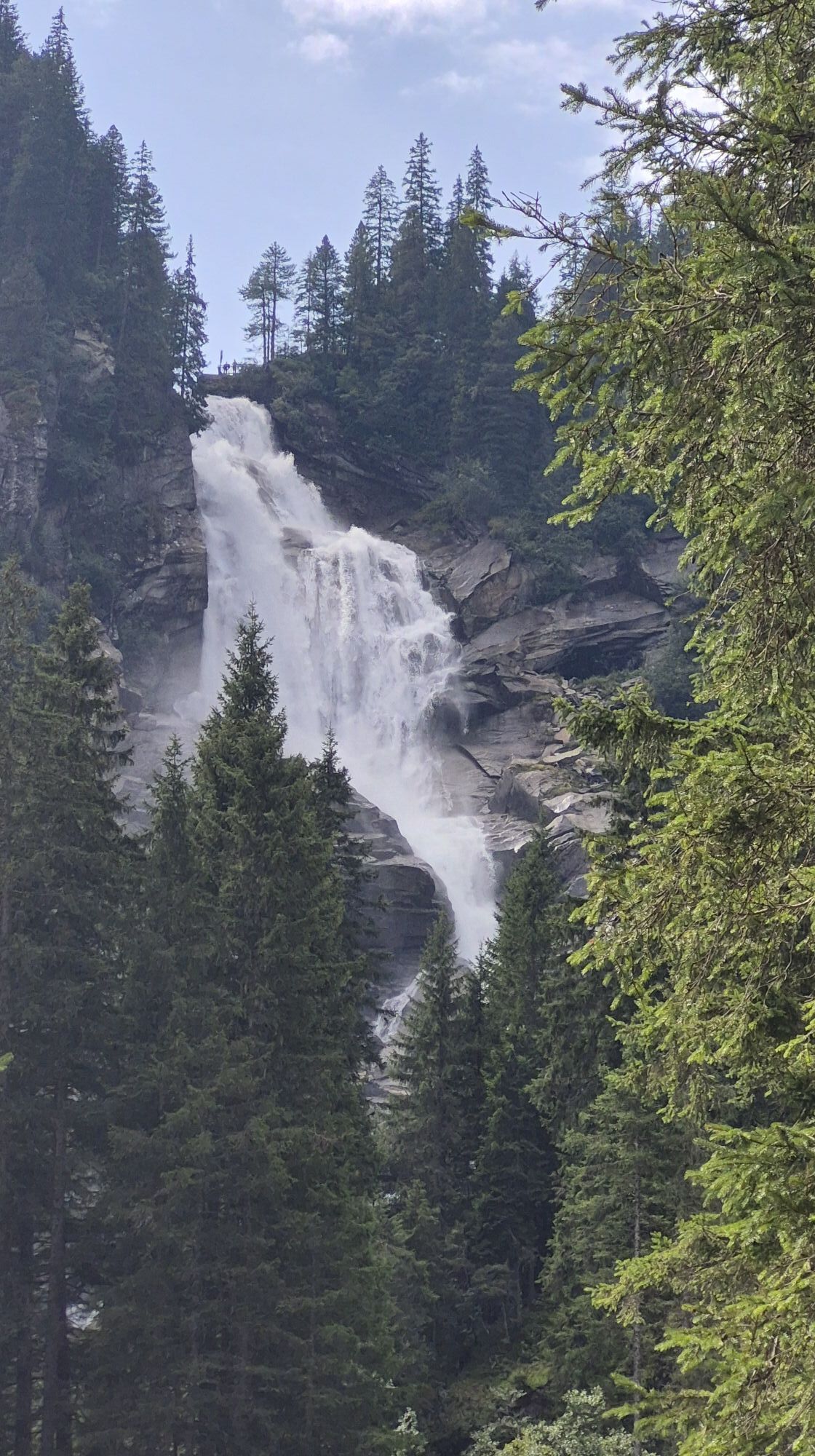
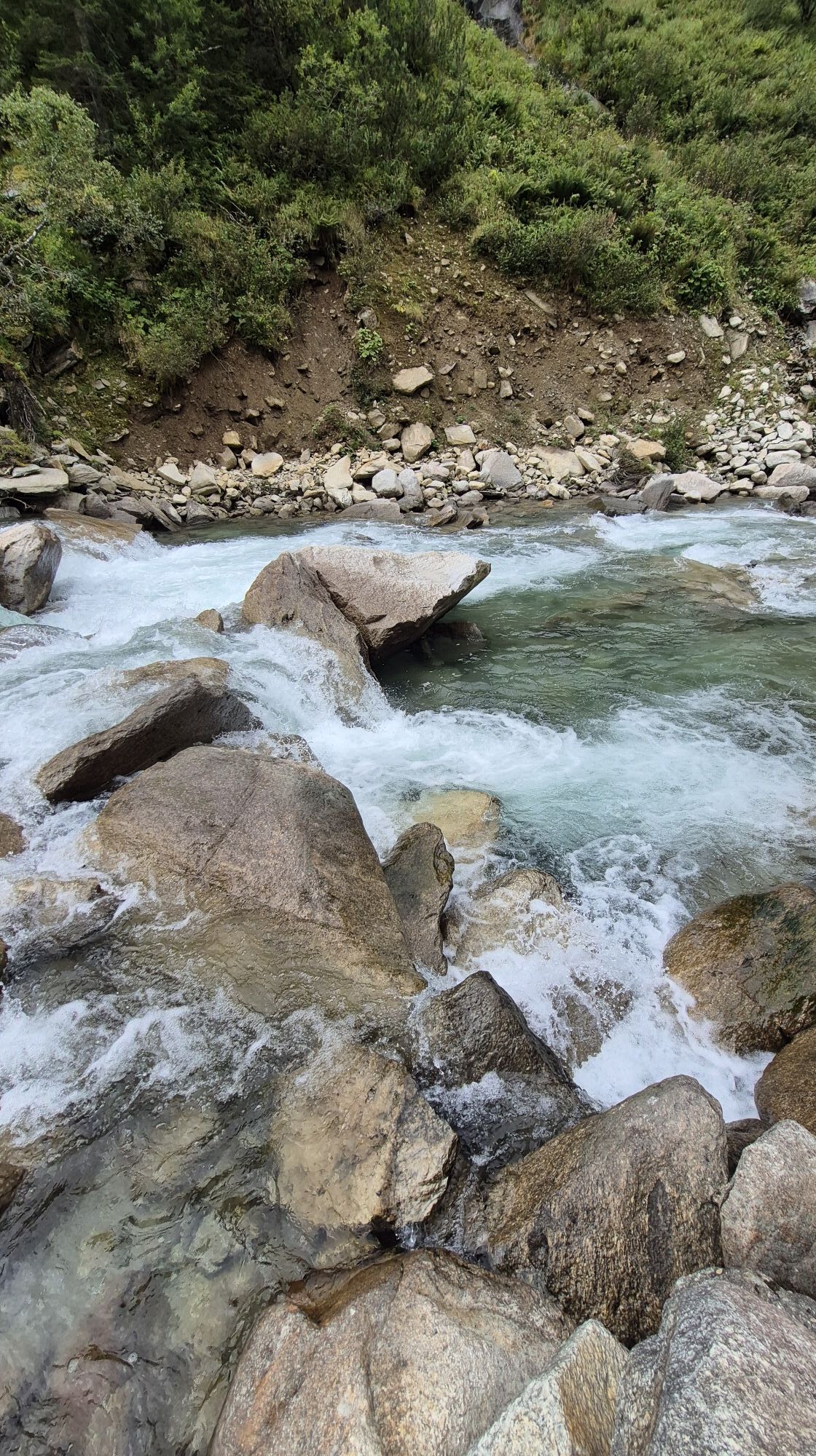
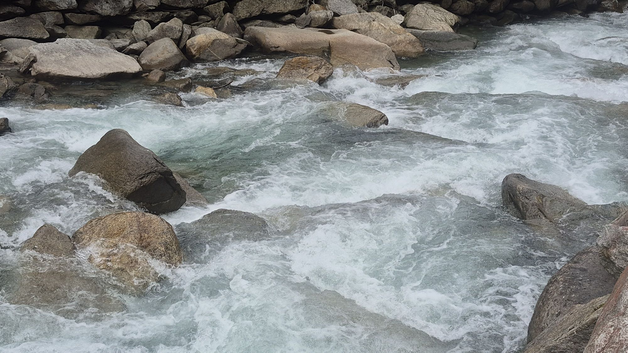
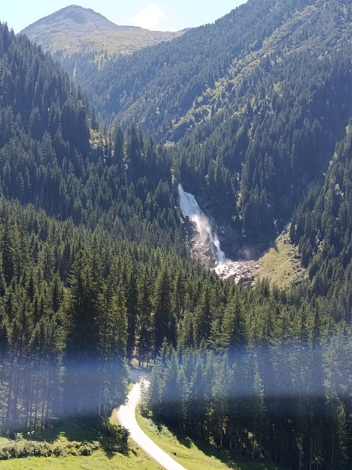
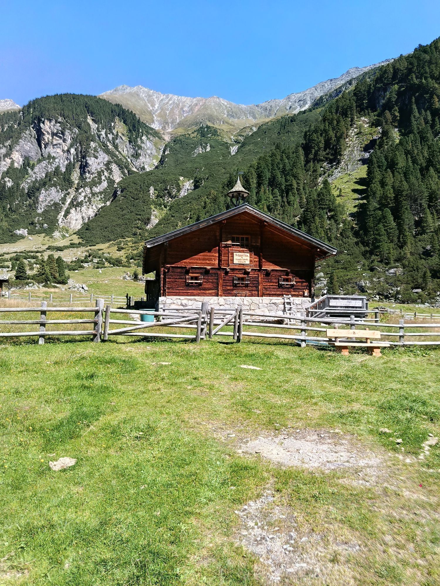
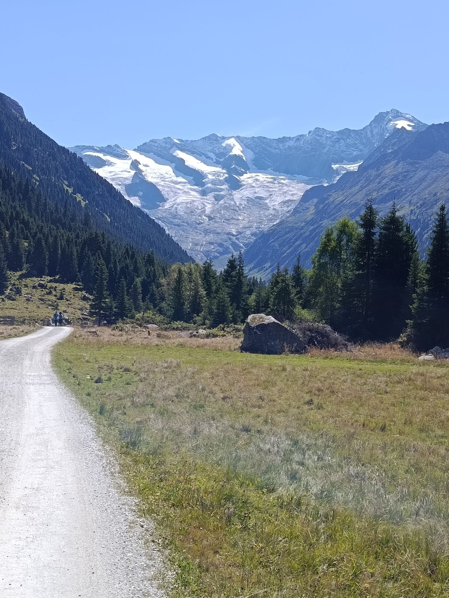
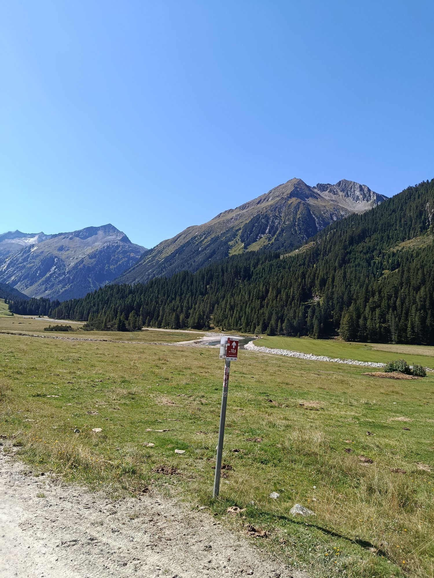
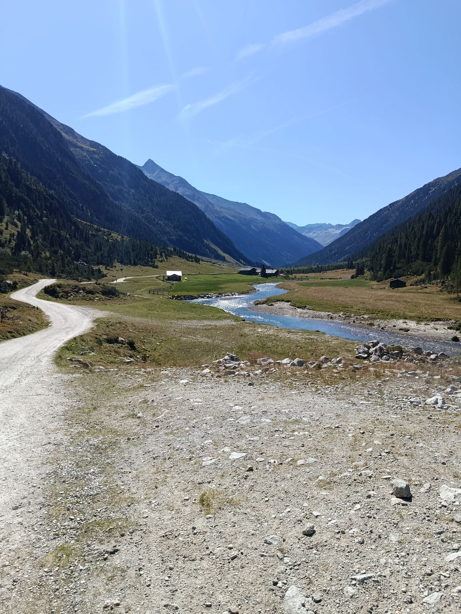
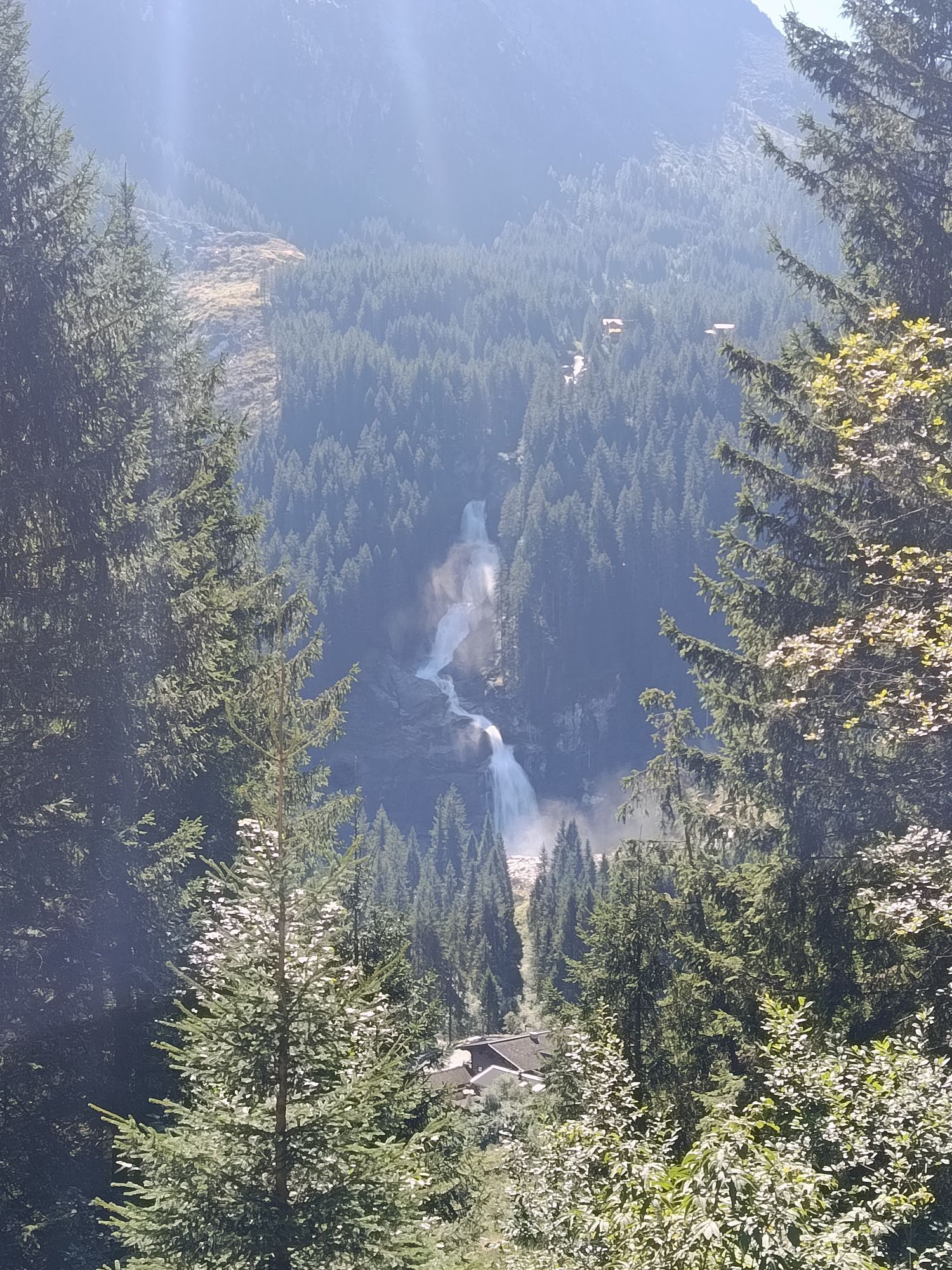
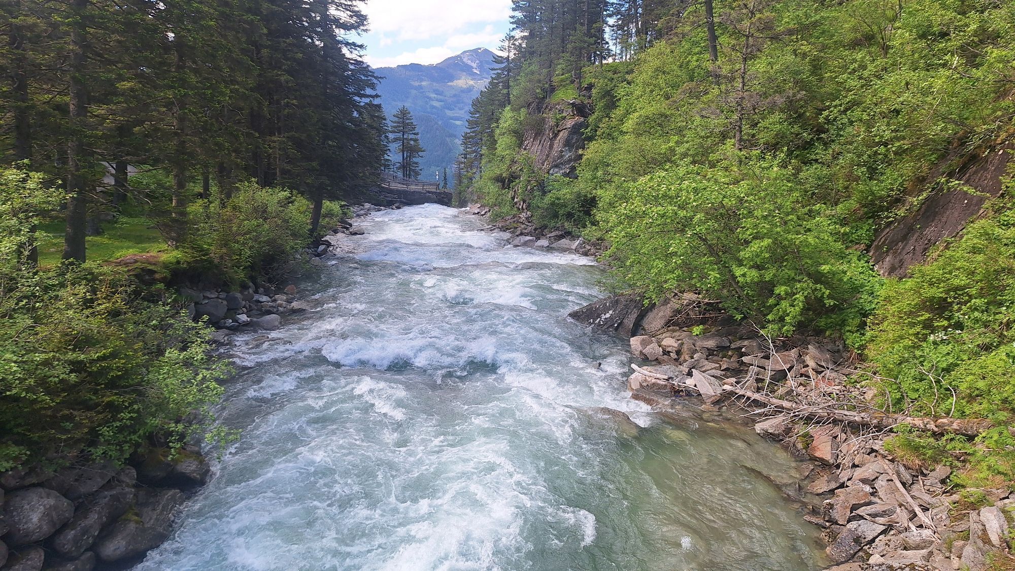
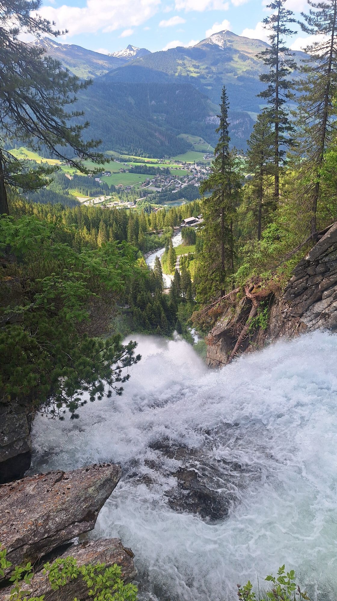
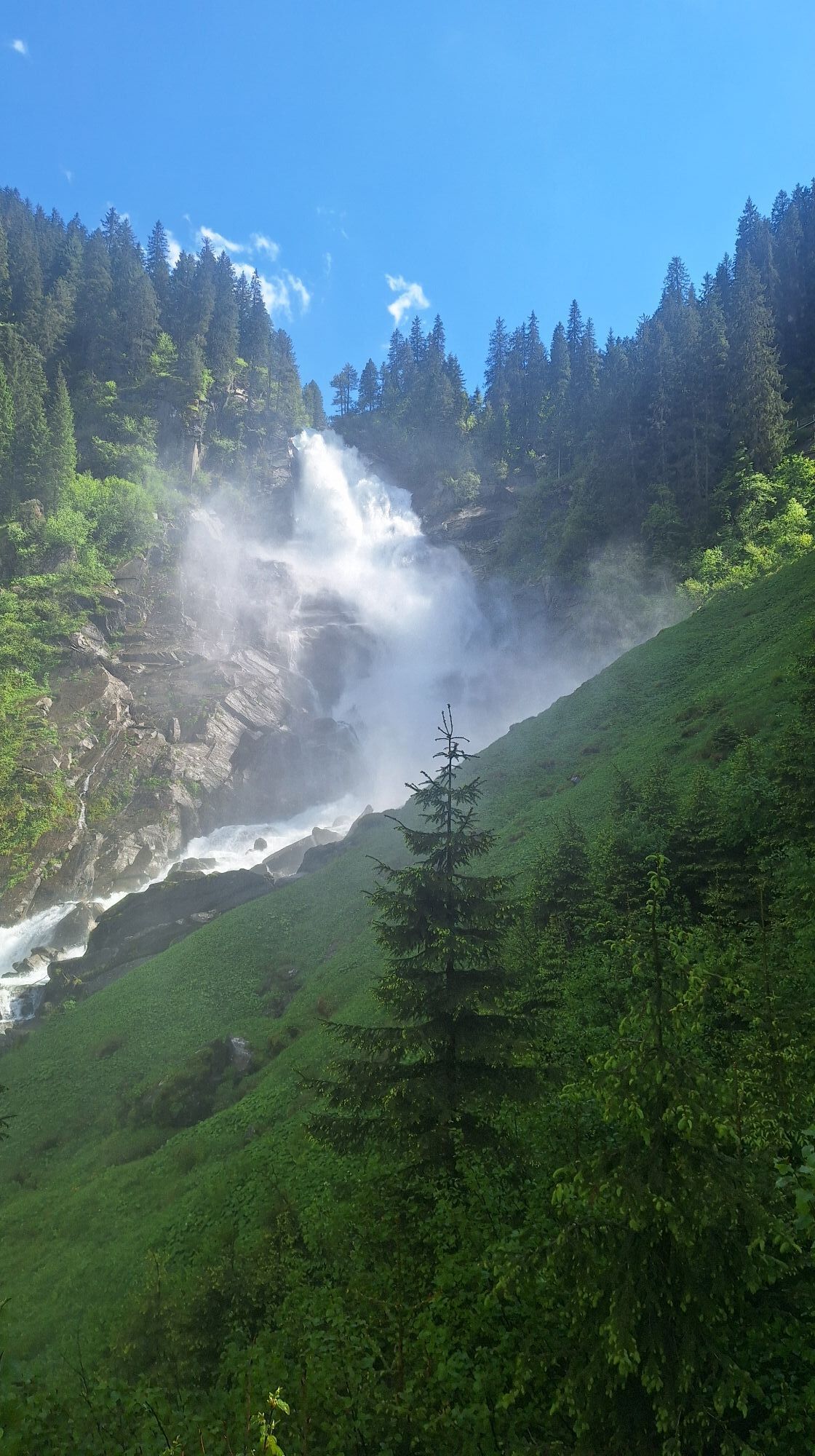
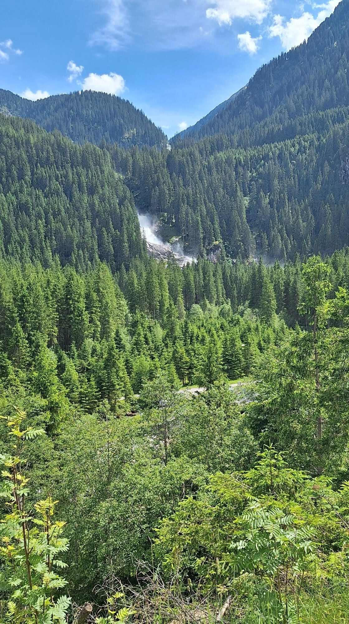
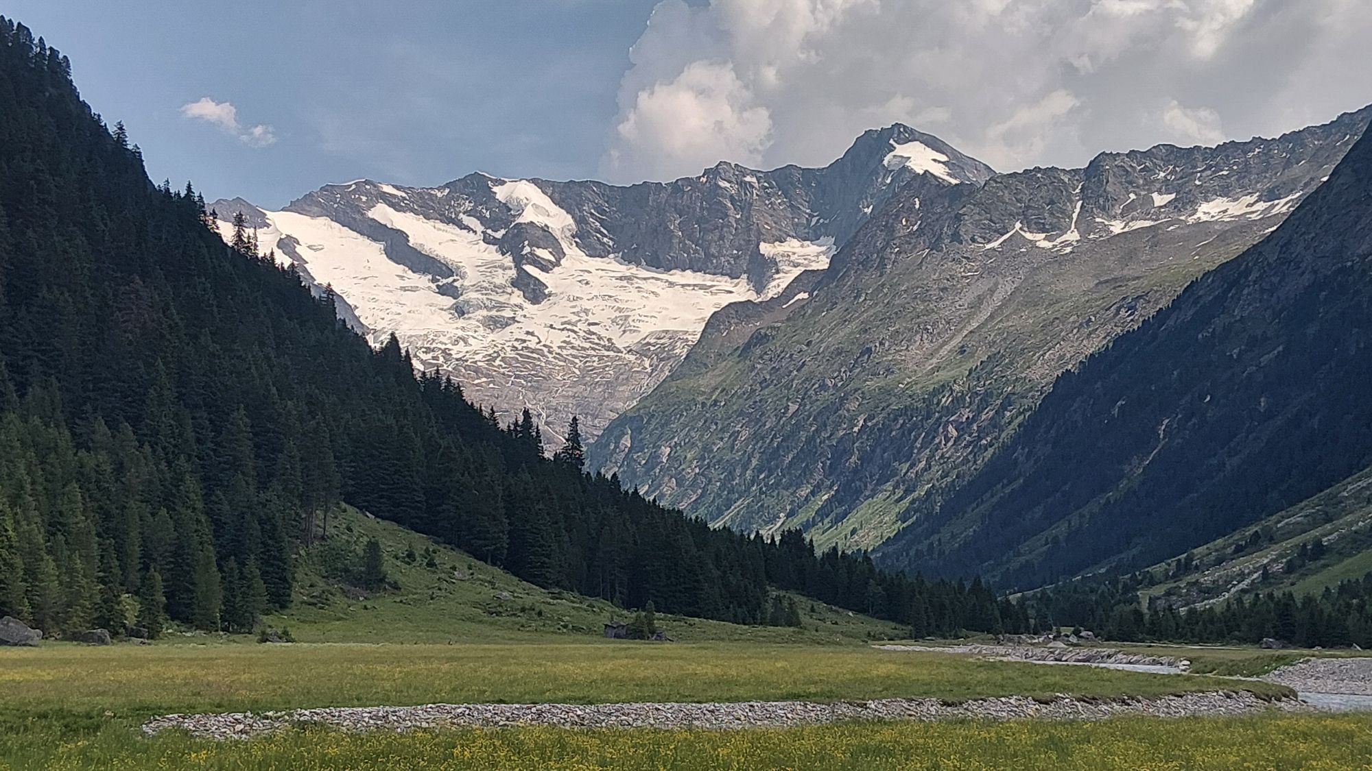
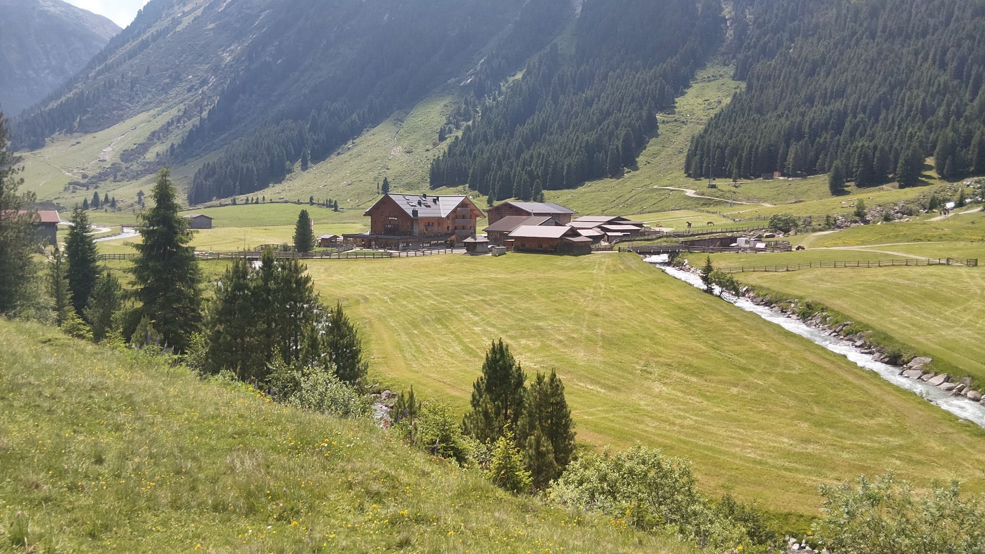
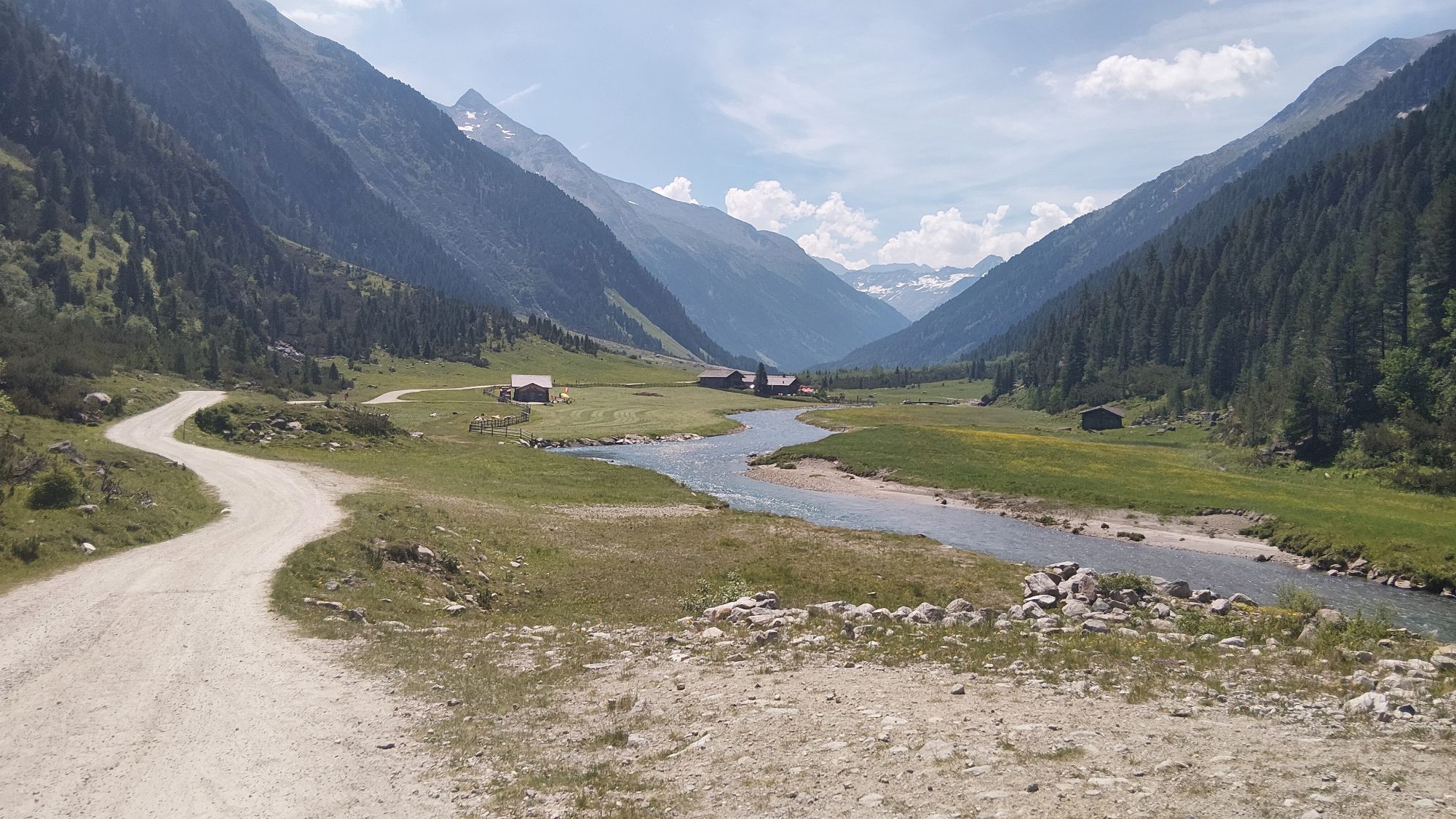
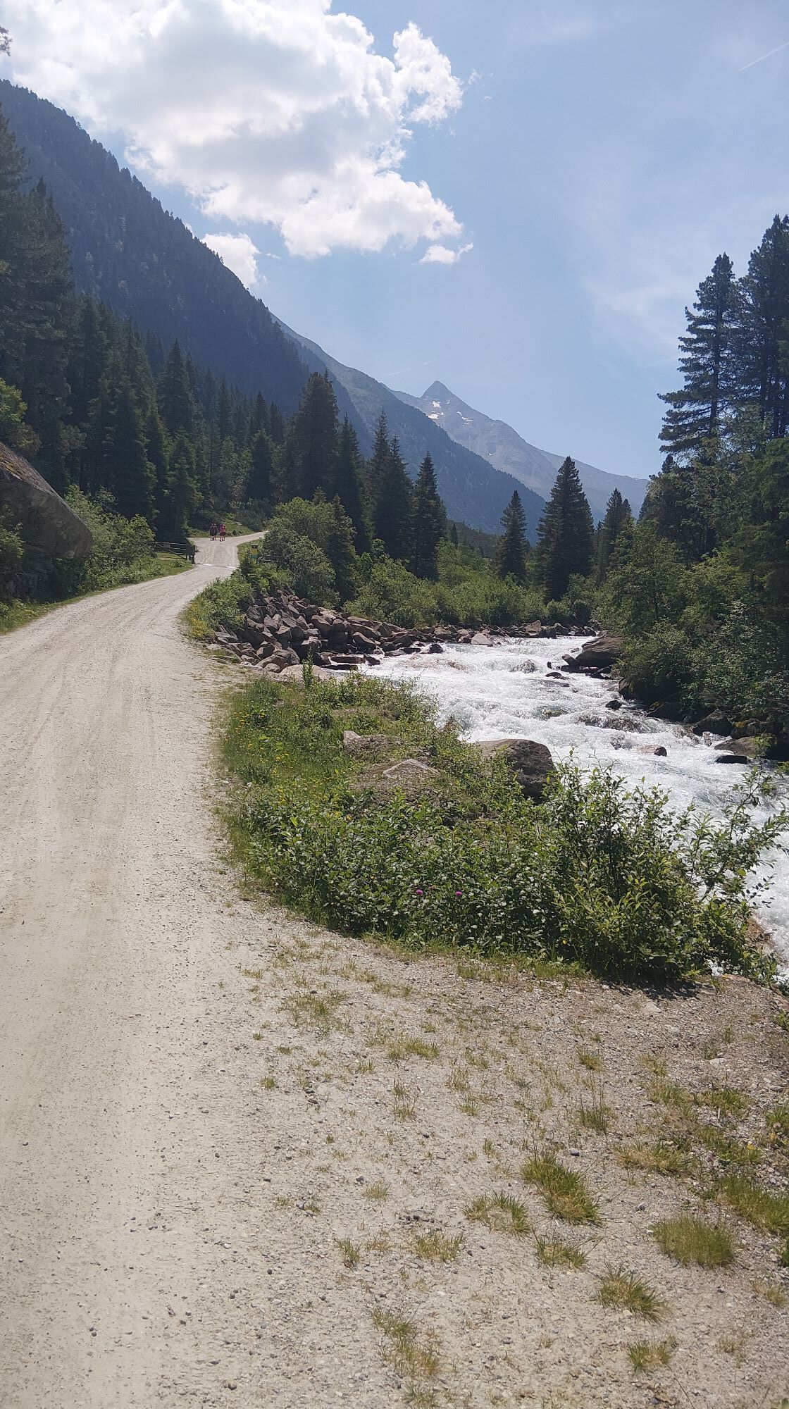
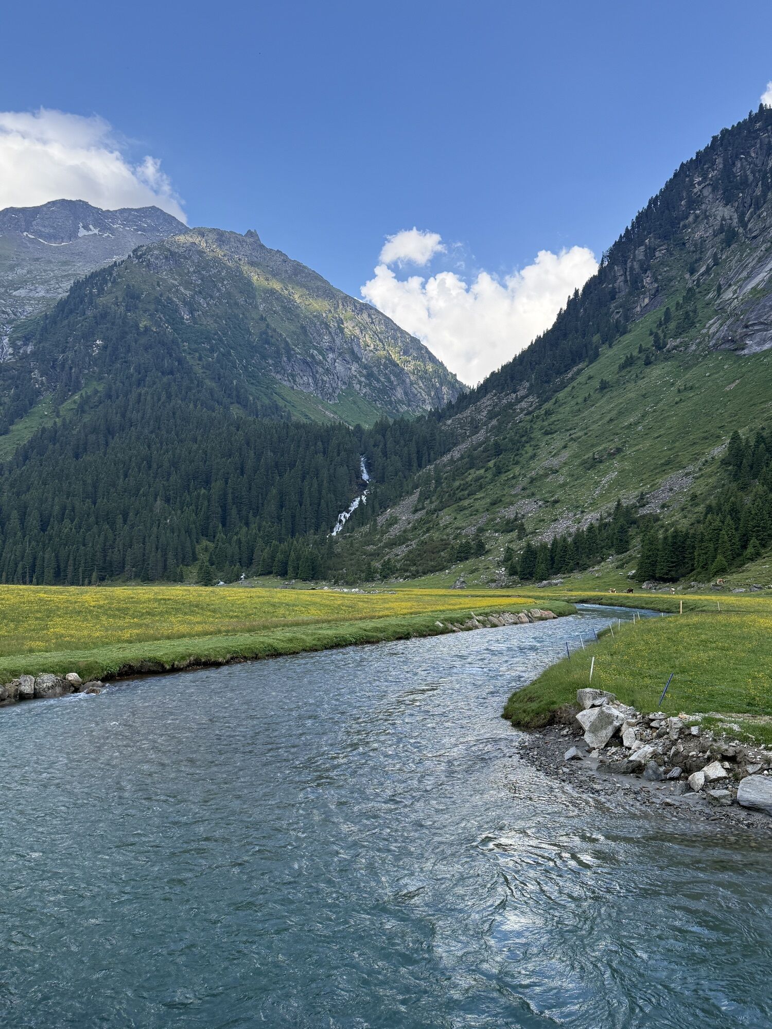
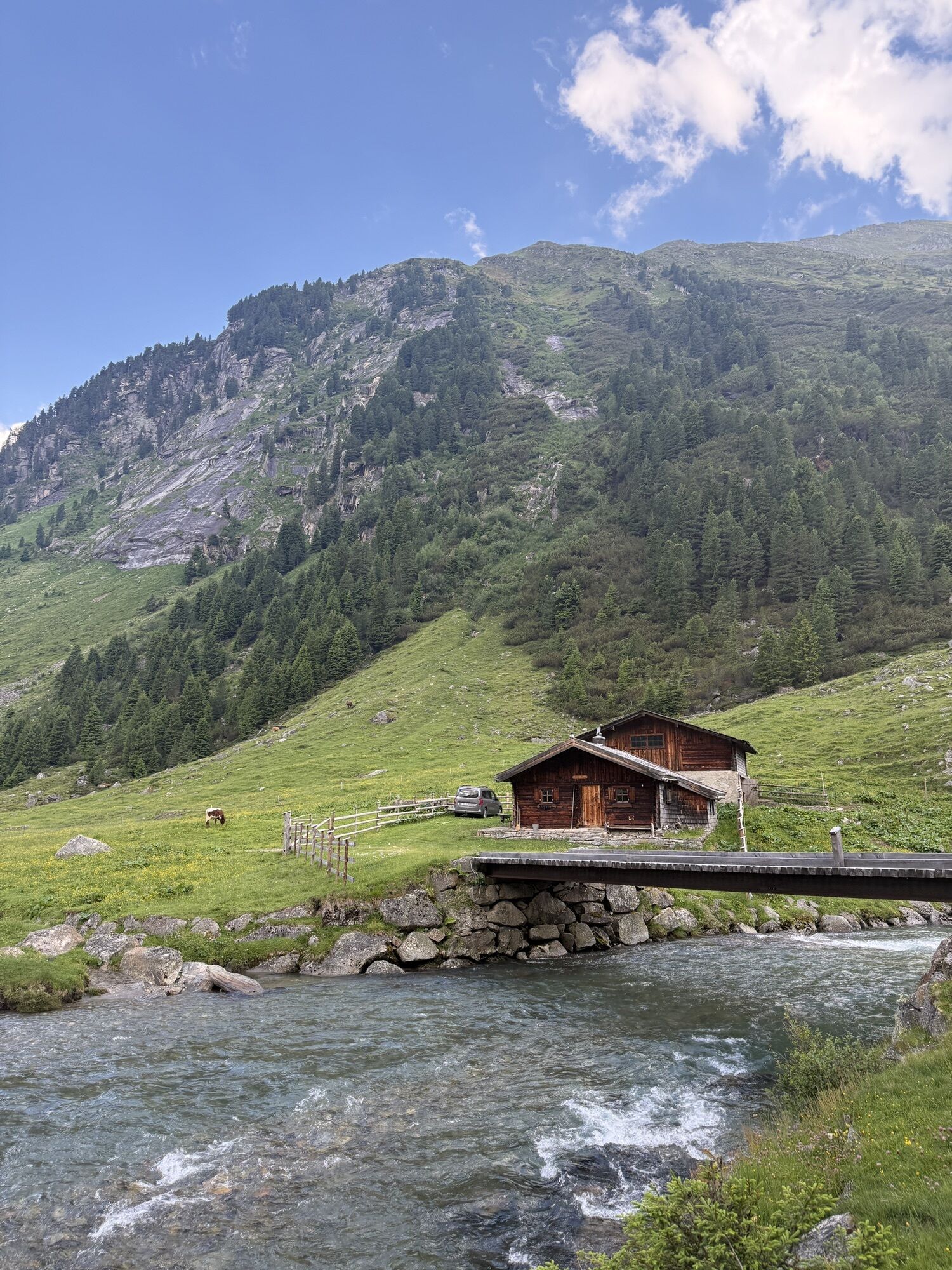
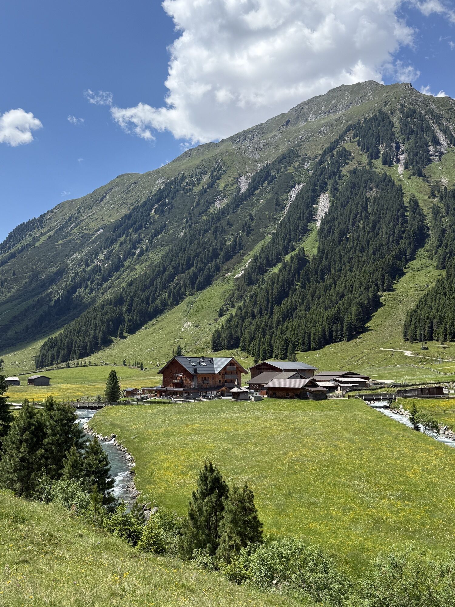
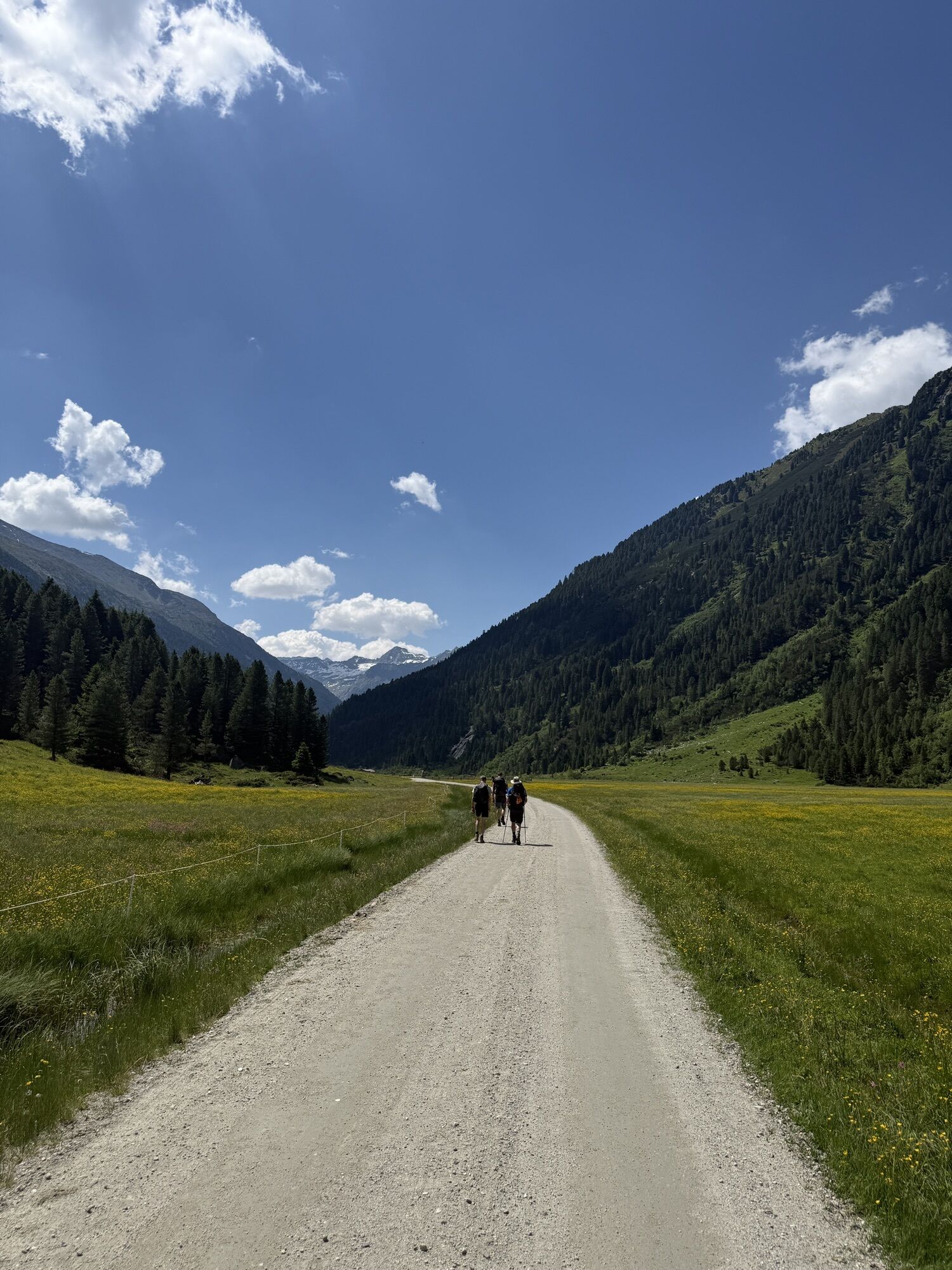
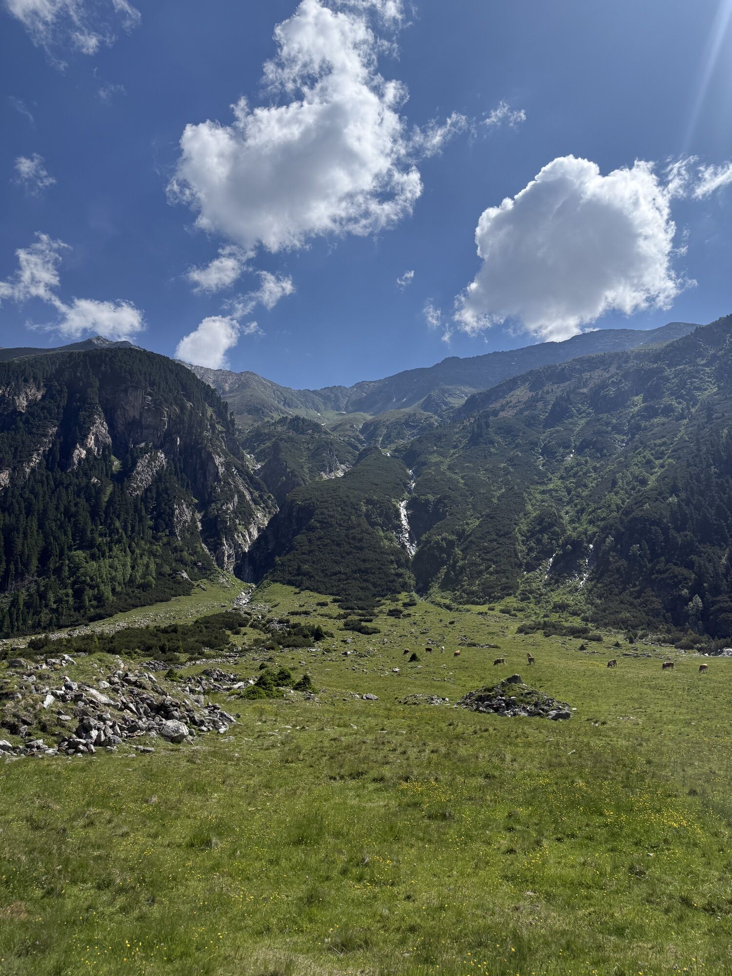
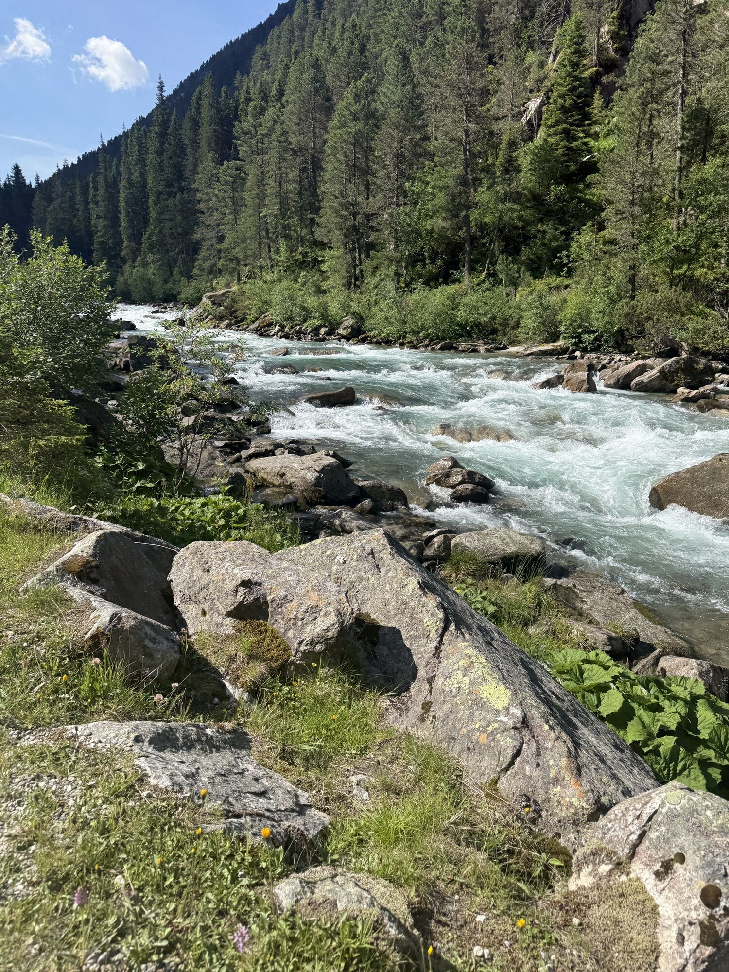
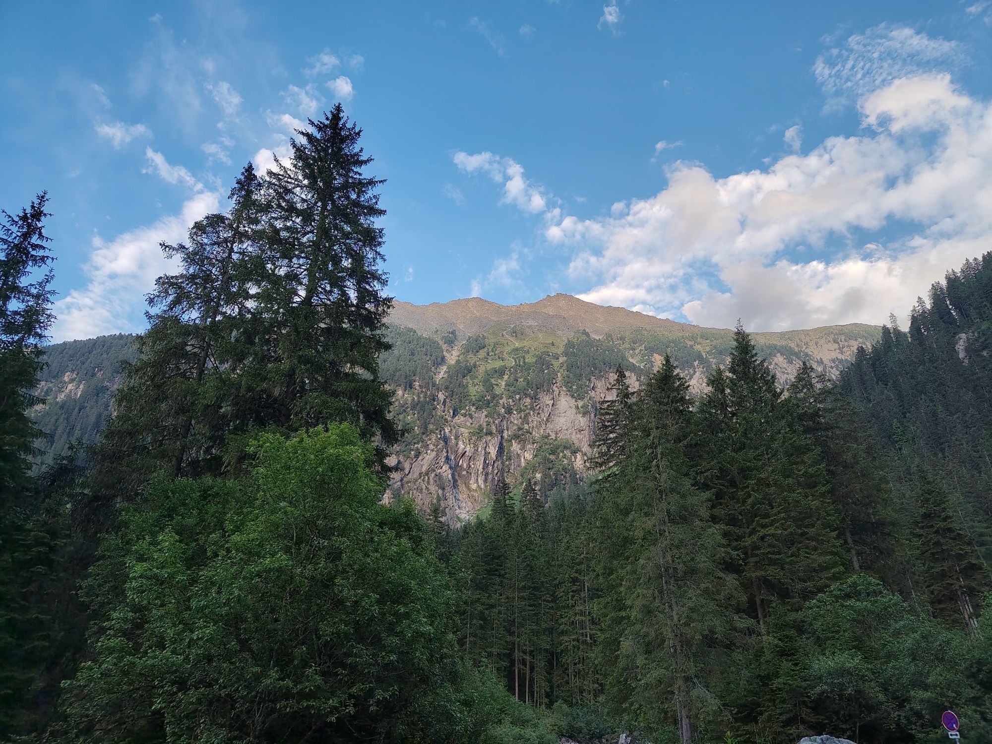
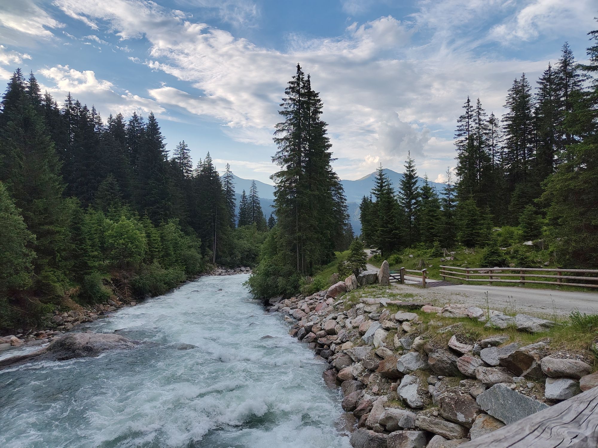
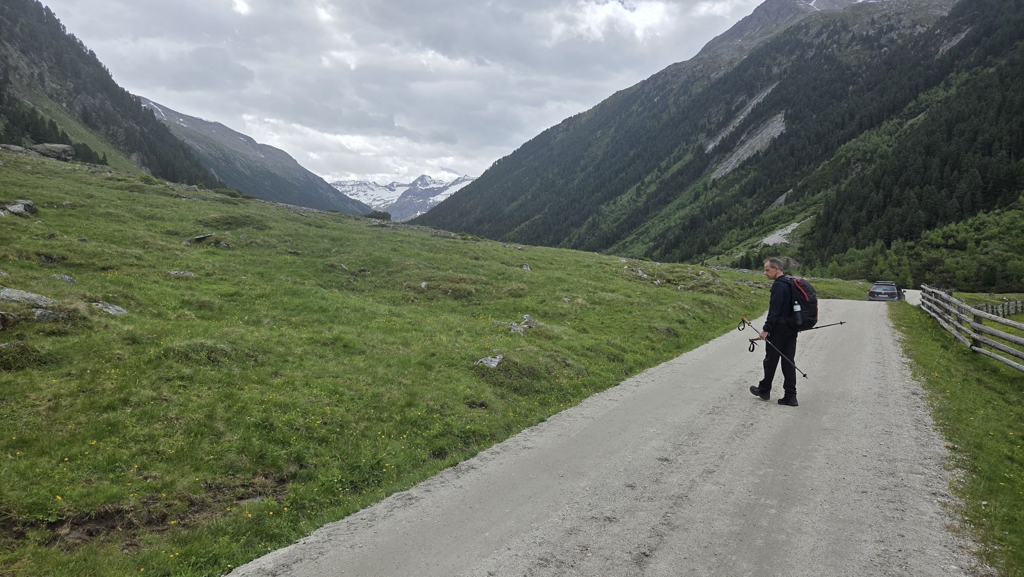
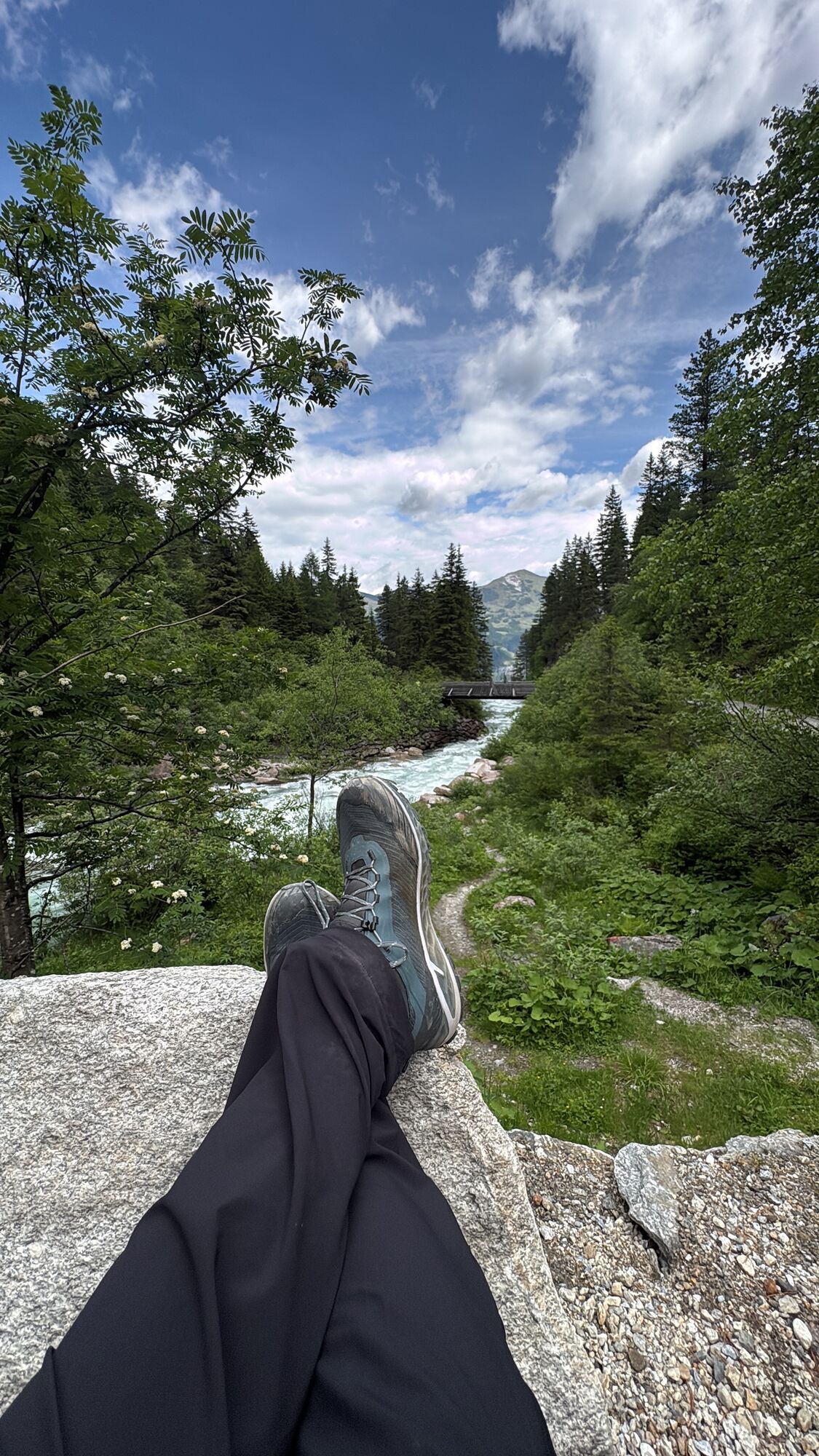
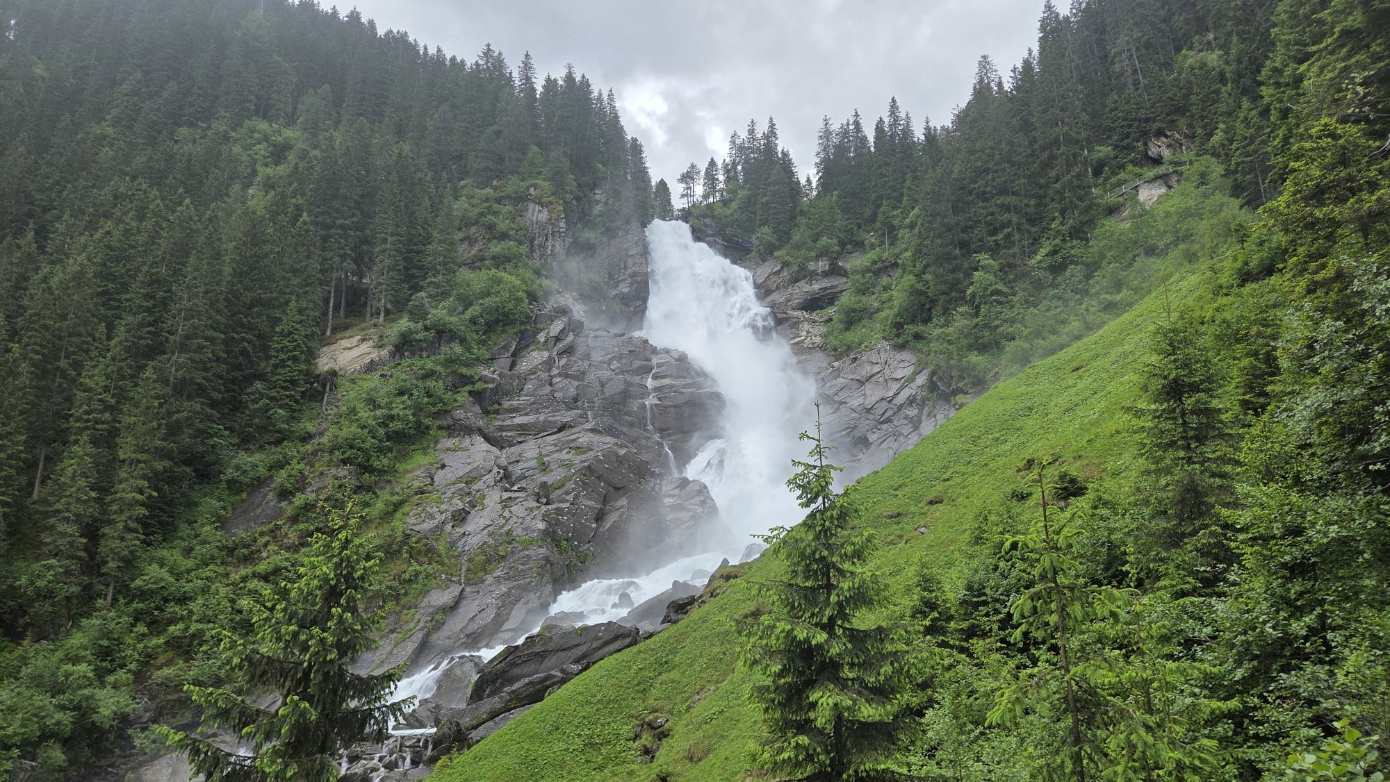
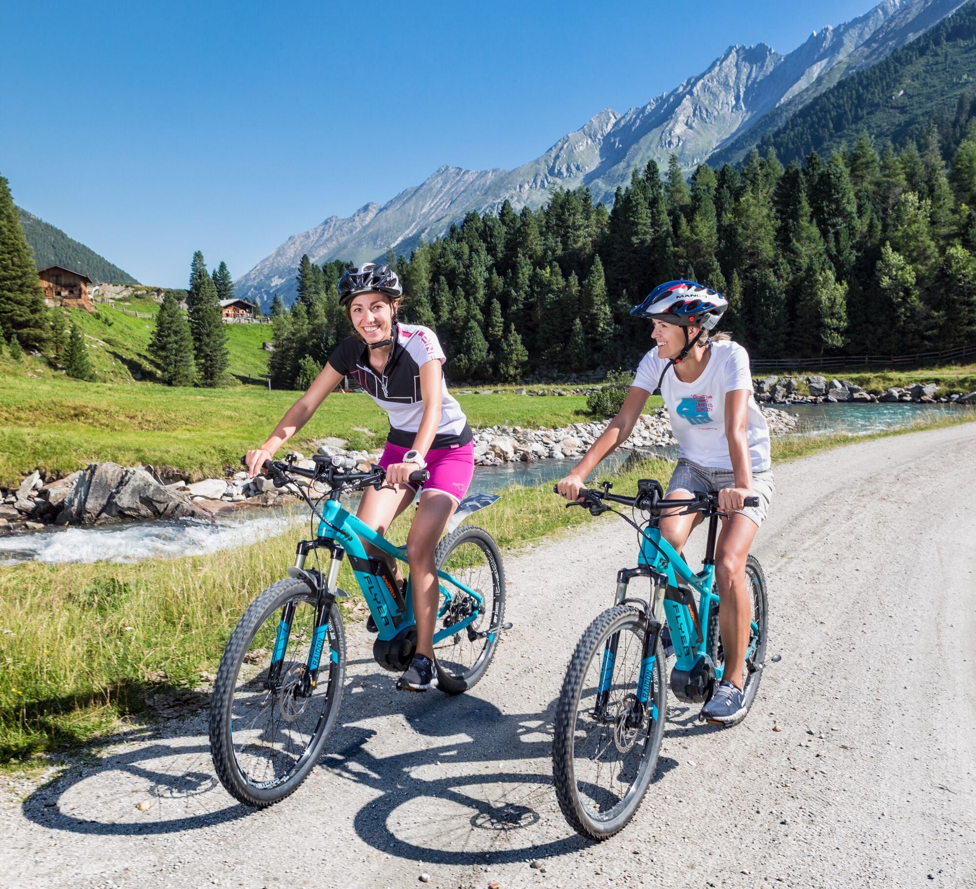
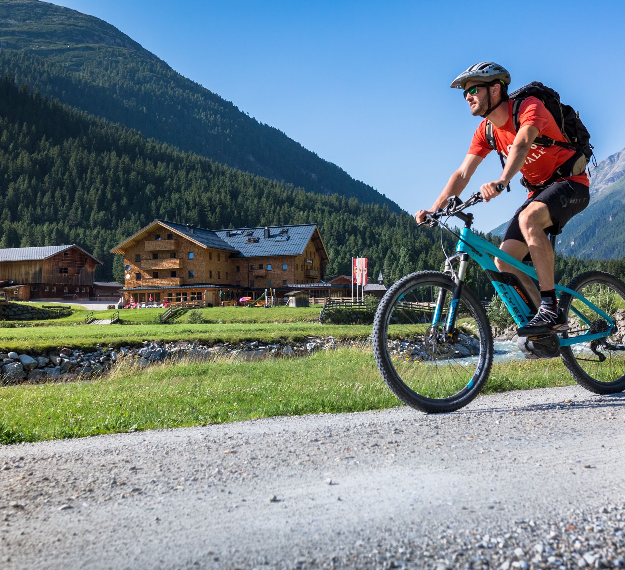
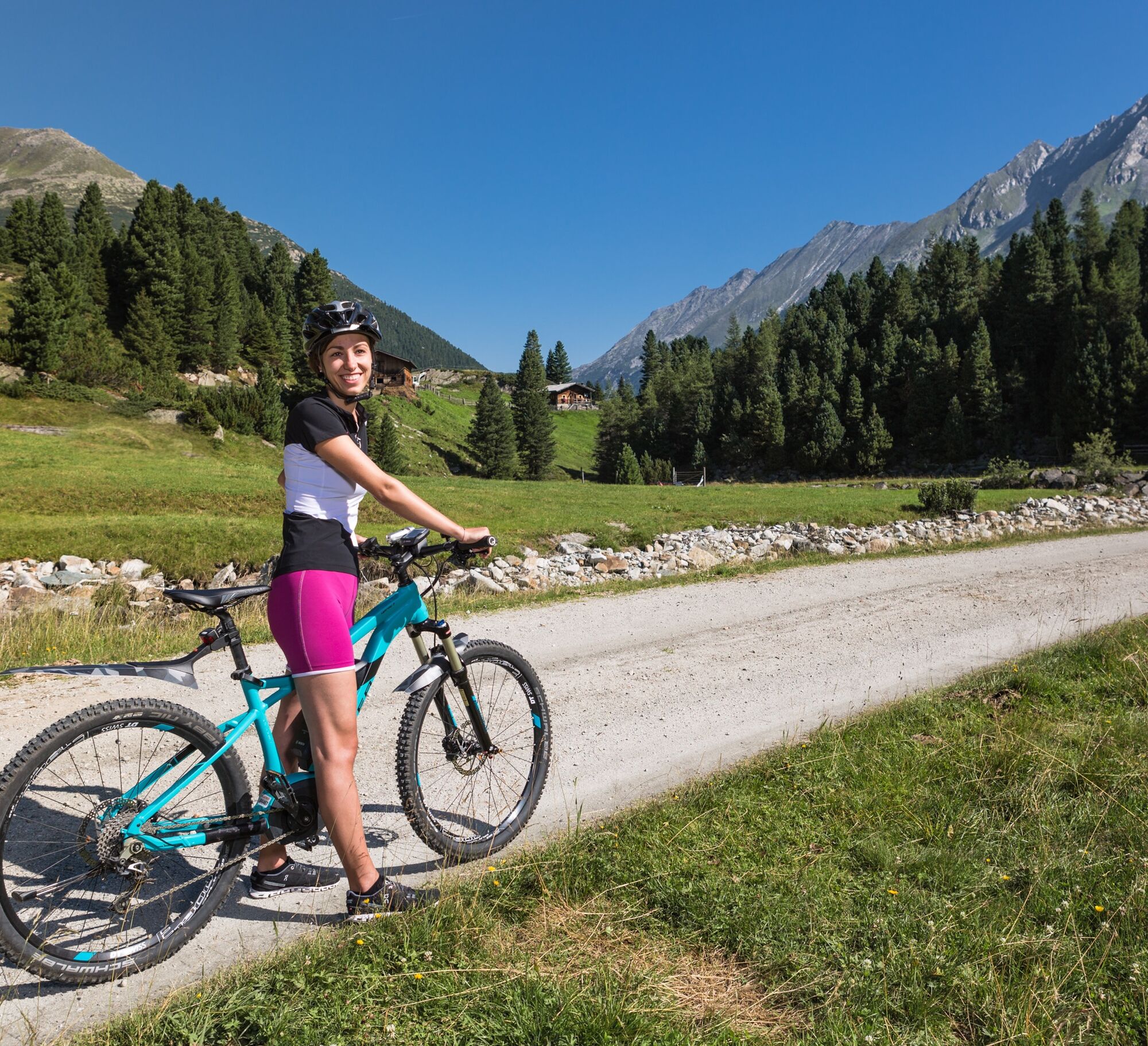
From Krimml village, the first section leads over the Gerlos Alpine Road. After about 2.0 km, turn left onto the forest track towards Krimmler Achental. Along the Krimml Waterfalls you ride through the Anna Tunnel (length 300 m). From there, a hiking and biking path runs parallel to the Krimmler Ache past rustic alpine huts and managed mountain inns. After the Innerunlaßalm, it then goes into the Windbachtal to the eponymous Windbachalm.

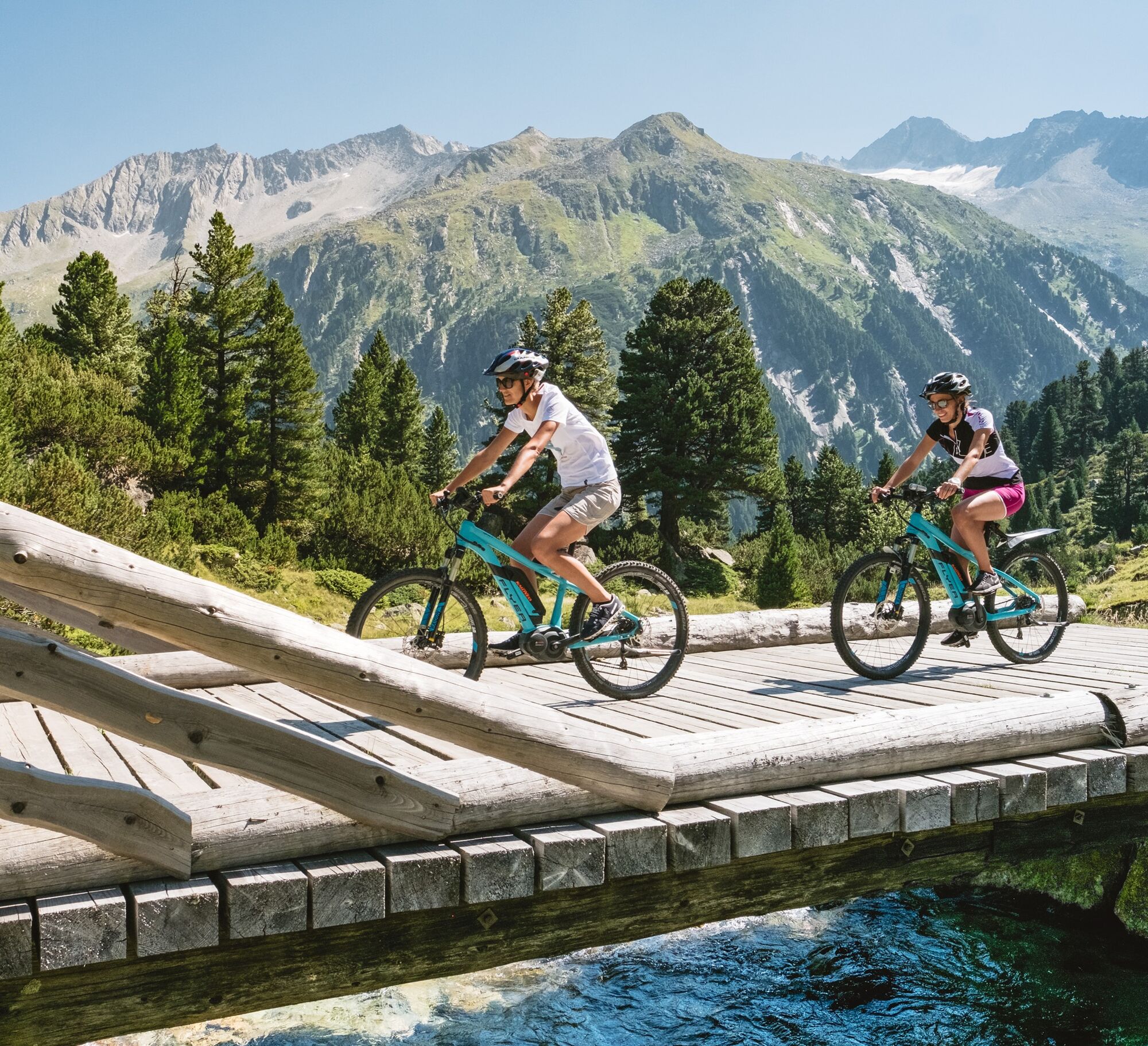


Path no.: A1
Gerlos Alpine Road - turn left about 100m after Trattenköpfl parking lot - forest track Krimmler Achental - Windbachtal
Helmet, water bottle, light and weatherproof clothing
Please use paths only with a helmet and appropriate equipment.
Warning - Gerlos Alpine Road please watch the traffic!
A light on the bike is recommended as you have to go through a short unlit tunnel.
Coming from Tyrol via the Gerlos Alpine Road, from the east via the B165 from the direction of Mittersill.
When arriving by Pinzgauer Lokalbahn, a rail replacement service is set up between the stops “Niedernsill” and “Krimml Station”.
A timely reservation is absolutely necessary for taking bicycles along, at the phone number +43 (0)6562 40600.
Right next to the road there are signposted, paid parking lots.
ÖAV Section Warnsdorf (Krimml Waterfalls): Tel.: +43 (0)6564/7212 or www.wasserfaelle-krimml.at
Hölzlahneralm: Tel.: +43 (0)664/5078348 or www.hoelzlahner.at
Veitenalm: Tel.: +43 (0)664/7683340
Söllnalm: Tel.: +43 (0)6564/7249 or www.burgeck.com
Krimmler Tauernhaus: Tel.: +43 (0)6564/21200 or www.krimmler-tauernhaus.at
Tourism association Krimml: Tel.: +43 (0)6564/7239 or www.krimml.at
The Windbachalm is unmanaged.
 Uzyskaj wgląd
Zawsze na żywo z ponad 9 500 kamer internetowych. bergfex Jako użytkownik Pro, możesz teraz zobaczyć odpowiednie kamery internetowe dla wielu wycieczek w aplikacji wycieczki od. Pozwala to na bezpośredni podgląd aktualnych warunków.
Uzyskaj wgląd
Zawsze na żywo z ponad 9 500 kamer internetowych. bergfex Jako użytkownik Pro, możesz teraz zobaczyć odpowiednie kamery internetowe dla wielu wycieczek w aplikacji wycieczki od. Pozwala to na bezpośredni podgląd aktualnych warunków.

Popularne wycieczki w okolicy
-
4,3
Gerlos: Stausee Rundwanderung
średniWędrówka 12,5 km -
3,7
Smaragdwanderweg Habachtal/Bramberg
światłoWędrówka 7,17 km -
4,7
Zittauer Hut
średniWędrówka 6,85 km -
4,4
Krimml Waterfall Path - Panorama Viewing Path
średniWędrówka 4,74 km -
4,3
Krimmler Tauernhaus
średniWędrówka 10,4 km -
4,7
Krimmlerwasserfälle
średniWędrówka 10,5 km -
4,6
Krimml Waterfalls
średniWędrówka 12,4 km -
4,8
Krimmler Achental
średniE-Bike 18,4 km -
4,7
Frühmesser
średniWędrówka 10,6 km -
4,1
Habachtal bis zur Thüringer Hütte
Wędrówka 6,53 km
Wędrówki i tropienie


Nie przegap ofert i inspiracji na następne wakacje
Twój adres e-mail została dodana do listy mailingowej.





