


St. Rupert Pilgrimage Route Stage 12: Strobl - Postalm

From the parish church in Strobl, the route leads past the municipal office on the left, along the avenue towards the spa hotel (Ischler Straße). At the spa hotel, we turn left onto Salzburger Straße and...
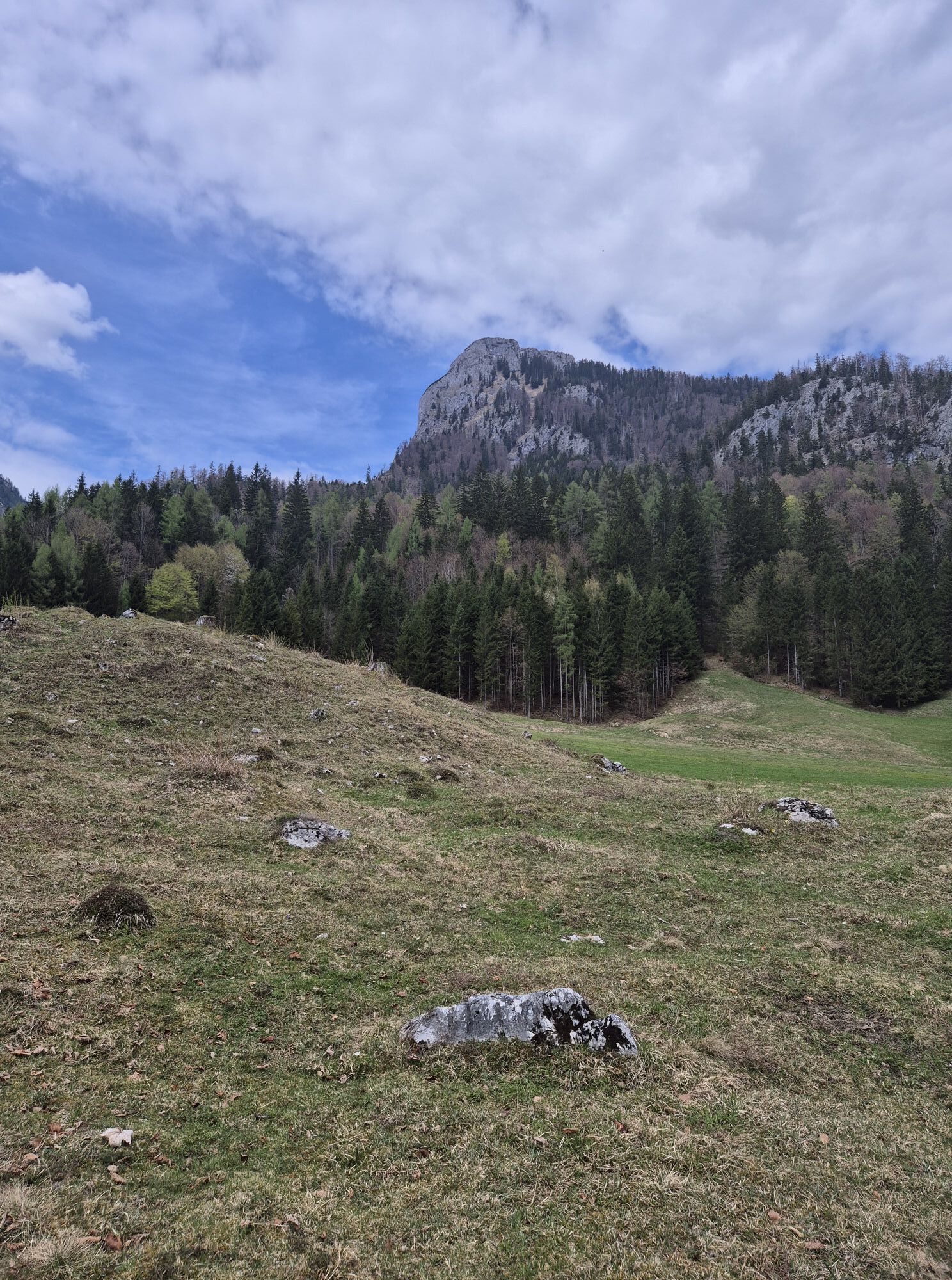
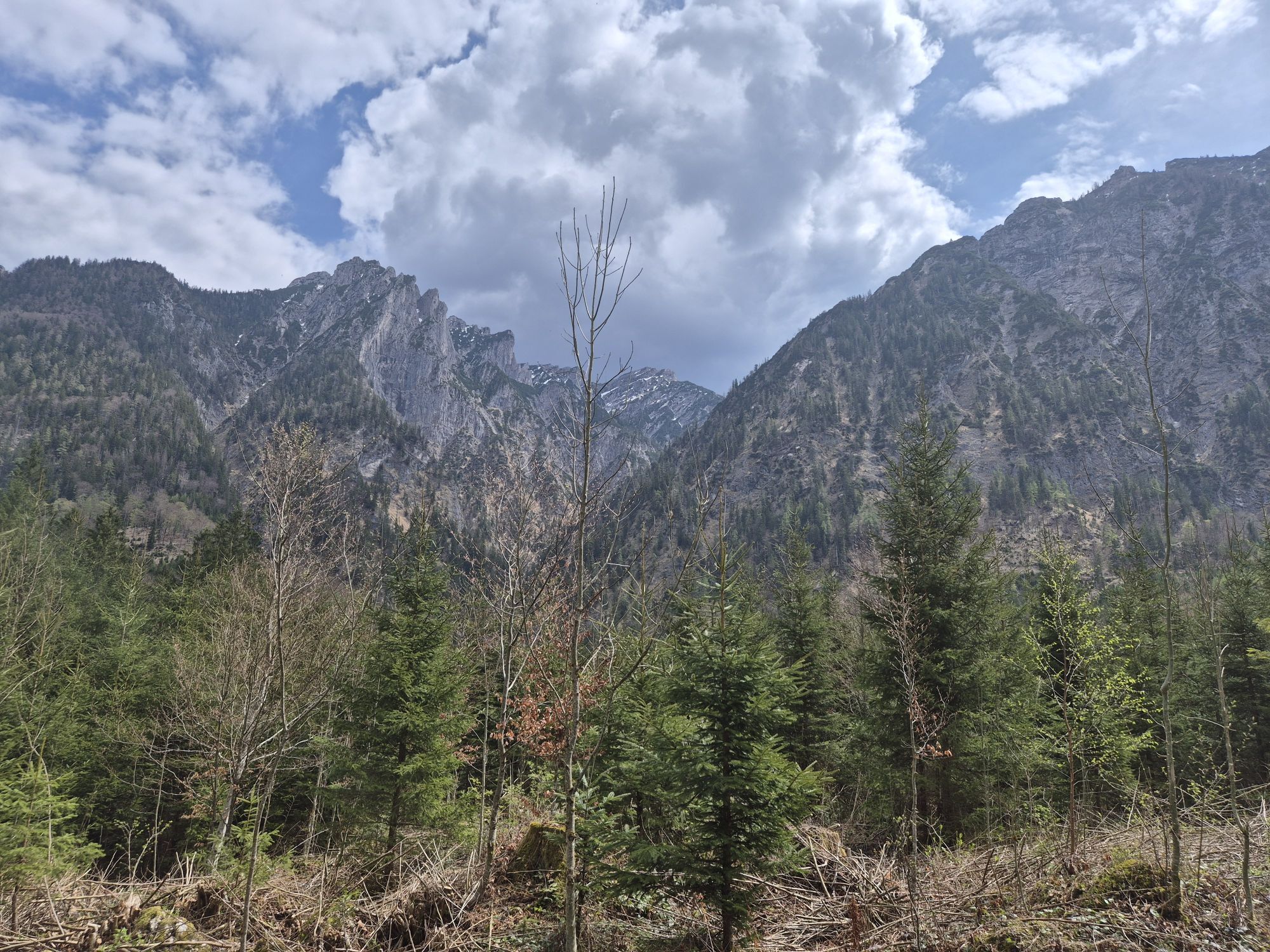
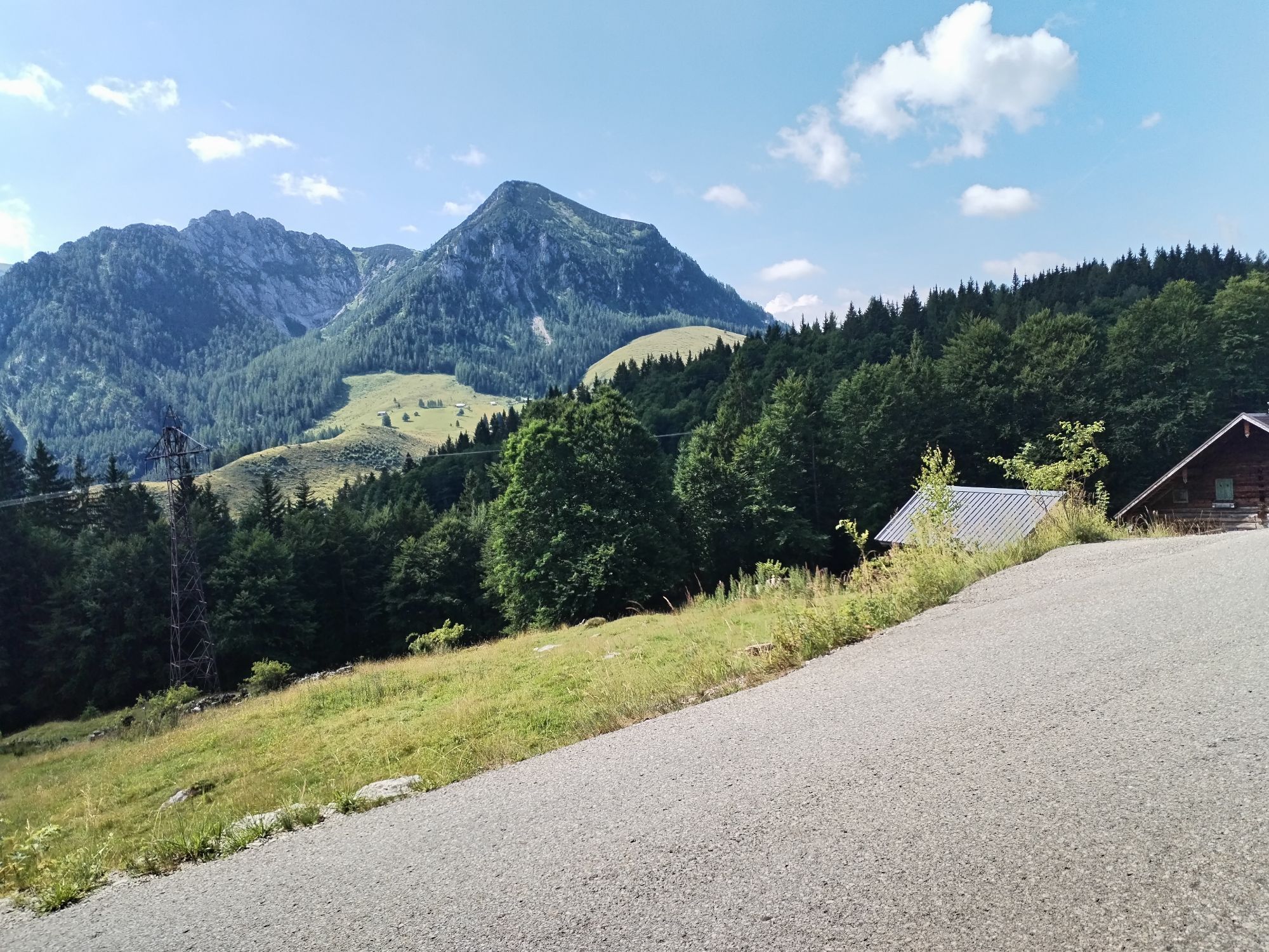
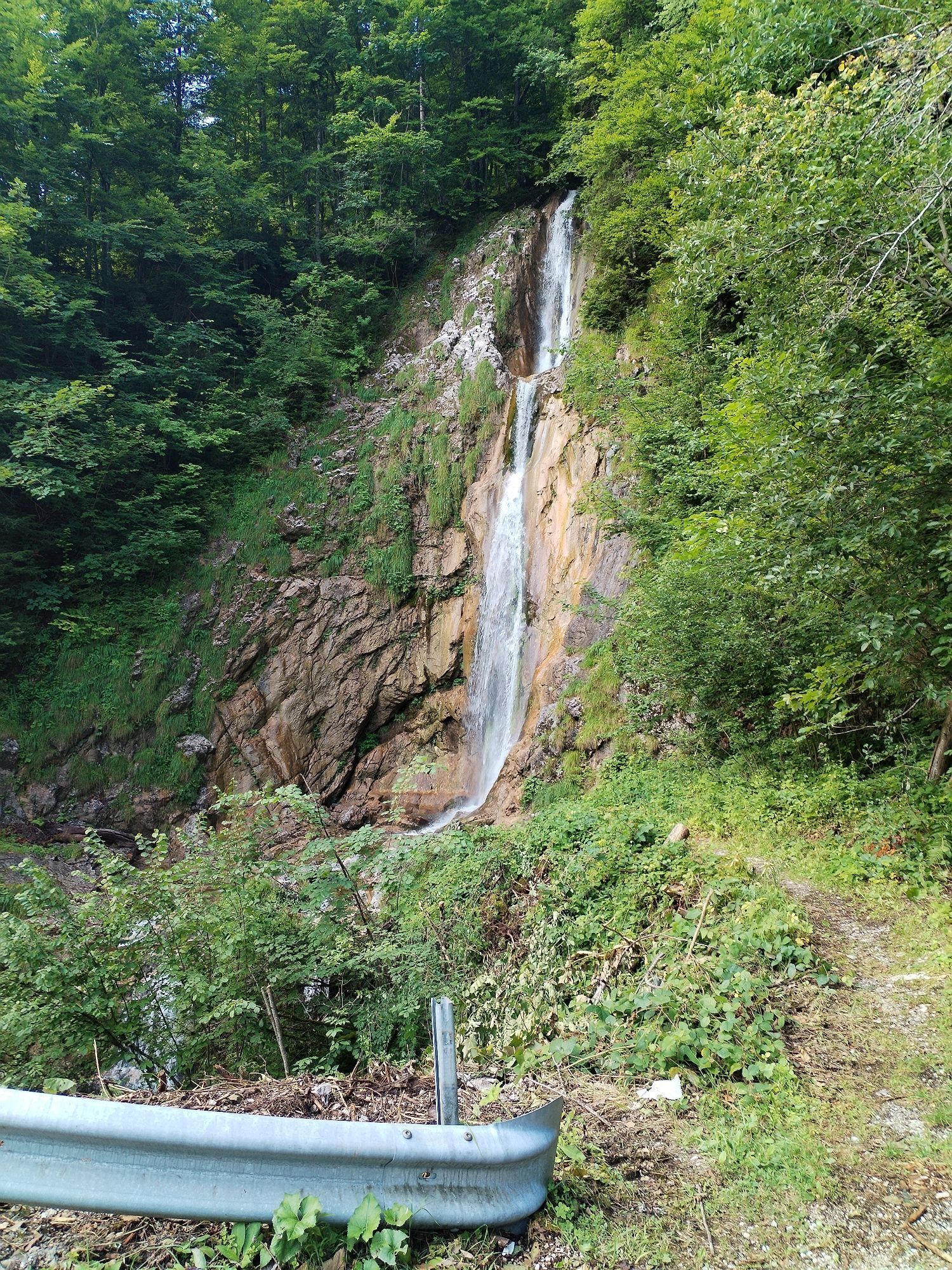
From the parish church in Strobl, the route leads past the municipal office on the left, along the avenue towards the spa hotel (Ischler Straße). At the spa hotel, we turn left onto Salzburger Straße and after about 100 m take a small path to the right towards the gas station. We cross the federal road and take the path to the Stadlmann farm. Above the farm, we meet the Sparber circular route; here we turn left towards the Kleefeld alpine inn (wildlife park) and the mountain home in the Weißenbach valley. From the inn Bergheimat we continue along the alpine path past the Unterbergeralm, cross the stream on a bridge after the chapel, and keep right until a small path leads left uphill. We are on the remains of an old cart track to the Postalm, the edge of which is still partially visible. Halfway along, a waterfall with a natural Kneipp basin invites to a shady break. On the high plateau of the Postalm nature reserve, the second largest alpine area in Central Europe, we turn right onto the alpine flower hiking trail, where the 400-year-old Schnitzhofalm with its own cheese dairy (8-bed rooms), the Welser hut (double rooms), and the Blonde hut (8-bed rooms) are located. They offer overnight accommodation and invite you to a rustic stop. Past the huts, the path continues to the information center.

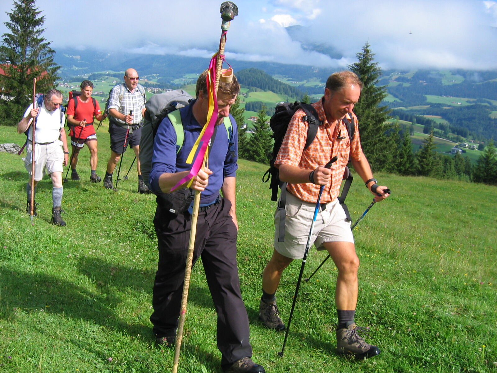

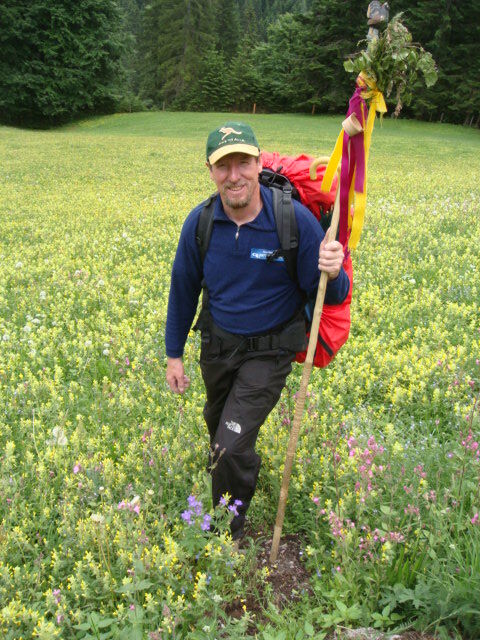

Strobl - Sparber path - Kleefeld - Weißenbach valley - old Postalm path - Schnitzhofalm
www.pilgrimage-routes.at
Kamery internetowe z trasy
-
Postalm - Panoramahütte
-
St. Wolfgang - Schafbergbahn Talstation
-
Strobl - Dorfplatz
-
Postalm Zauberteppich
-
Postalm Zauberteppich
-
Postalm Zauberteppich
-
Postalm Zauberteppich
-
Postalm Zauberteppich
-
Postalm Zauberteppich
-
Postalm Zauberteppich
-
Postalm Zauberteppich
-
Bleckwandhütte
-
St. Wolfgang am Wolfgangsee - Hotel im Weissen Rössl
-
Seecamping Appesbach
-
Radau/St.Wolfgang
Popularne wycieczki w okolicy
-
4,4
Weißenbach am Attersee - Schoberstein
średniWędrówka 3,31 km -
4,1
Pillstein Panorama Rundweg
światłoWędrówka 3,40 km -
4,9
Pleasure hike over the Falkenstein
średniWędrówka 9,81 km -
4,5
Hike to the Hütteneckalm
światłoWędrówka 8,70 km -
4,5
The Plombergstein: Adventure and summit panorama
światłoWędrówka 4,12 km -
4,9
Schwarzeneckalm-Bleckwand
światłoWędrówka 5,94 km -
4,9
Eisenaualm
średniMountainbike 37 km -
4,7
Hütteneck ski & snowshoe tour
średniRakieta do chodzenia po śniegu 3,88 km -
4,8
Schafberg ab Winkl nahe Sankt Gilgen, Österreich
średniTrailrunning 6,12 km -
4,8
Gennerhorn über Lämmerbach
średniWędrówka 10,2 km

Wędrówki i tropienie


Nie przegap ofert i inspiracji na następne wakacje
Twój adres e-mail została dodana do listy mailingowej.