


Nordic walking on the Erlenweg
Poziom trudności: 1


The Erlenweg is also a leisurely hiking path. The route runs 4.2 km along the Dientner Landesstraße toward Lend. At the end of the path is the former "Fischerstüberl" (closed)/Keilbrücke. This is considered...
The Erlenweg is also a leisurely hiking path. The route runs 4.2 km along the Dientner Landesstraße toward Lend. At the end of the path is the former "Fischerstüberl" (closed)/Keilbrücke. This is considered the turning point. You walk the same route back to the village.

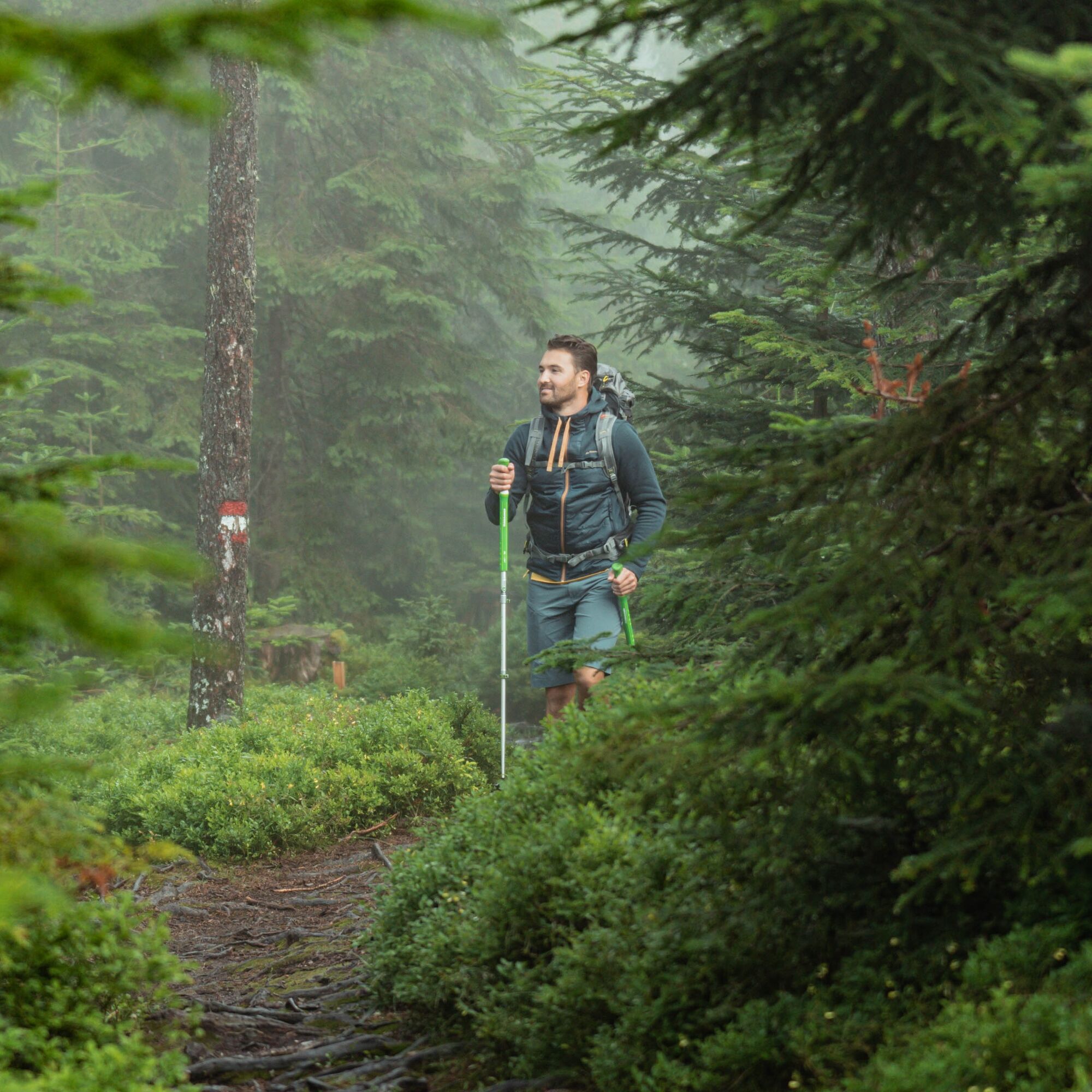
At the Grünegg junction, the Erlenweg begins on the opposite side of the street along the Dientner Ache. A gravel path along the Dientner Straße toward Lend. The path passes behind the fire department and the municipal depot, past the football field (the gate is always open) and continues through a short wooded area to the warehouse of "Haider Transporte" - here the path runs directly along the street on a wide roadside strip. Now you are already on the final section of the path. After about 50 m, the Keilbrücke is on the left side.
Tak
Tak
Tak
Sturdy footwear
Nordic walking poles
Head cover
Sunscreen
Sunglasses
Rain protection
Drinks and a small snack
Necessary medications
First aid kit
Hiking map
Self-assessment: Before every mountain tour, check your physical fitness and correctly assess your strength as well as that of your companions – especially your children! Surefootedness and a head for heights are often very important!
Planning and preparation: Plan every intended mountain tour carefully in advance. Hiking maps and guides as well as information from alpine clubs and locals such as mountain guides and hut hosts can be helpful.
Equipment: In the mountains, you need appropriate equipment and clothing, especially sturdy, high footwear with grippy soles. Weather and cold protection are essential, as weather can often change unexpectedly.
Weather forecasts: Check the current weather conditions at: zamg.at or www.uwz.at.
Togetherness: Observe the 10 rules for proper handling of grazing animals and leave no waste in nature!
Do not dislodge stones: Do not dislodge stones, as this can seriously endanger other hikers. Marked areas with risk of rockfall should be crossed as quickly as possible with attention and caution.
Turn back in time: This is no shame but a sign of prudence. It becomes necessary if the weather changes, fog sets in, or the path becomes too difficult or is not in good condition.
Emergency numbers: Alpine emergency: 140, International emergency: 112, Rescue: 144
Arrival from Salzburg: Take the A10 motorway to the Bischofshofen exit, then follow the B311 toward Bischofshofen. Follow the Hochkönig federal road/B164 to Mühlbach and then on to Dienten.
Arrival from Innsbruck/Kufstein: Take the Loferer Straße/B178 toward St. Johann i.T., then continue via the Hochkönig federal road/B164 through Saalfelden and Maria Alm to Dienten or to the Filzensattel.
A valid motorway vignette is required for using the Austrian motorway and expressway network. You are also required to carry a first aid kit, warning triangle, and safety vest. More information at Asfinag.
ÖBB-Scotty: Timetable information
Bus line 620: Timetable information
Bus line 631: Timetable information
Hiking bus: Timetable information
Free parking at the Grünegg Alm parking lot
1
More information on hikes and activities in the Hochkönig region:
For detailed information about hiking maps, opening times of mountain lifts, and huts and alpine pastures in summer, we recommend visiting the local service center. There you will not only get the hiking map but also valuable tips on the best hiking routes and current conditions.
Summer opening hours of the mountain lifts: The mountain lifts offer various opening hours during the summer months, which can vary depending on the weather and the season. Please check ahead for current operating times.
Opening hours of huts and alpine pastures in summer: The huts and alpine pastures in the region are ideal rest stops for hikers. Here too, opening hours may vary depending on the season and day of the week. Let the friendly hosts advise you about offers and specialties on site.
For more information, please visit our website: www.hochkoenig.at.
If you have questions or want specific information, feel free to contact us:
Email: region@hochkoenig.at
Phone: +43 (0)6584 20388
We look forward to helping you and wish you lots of fun exploring the beautiful hiking region Hochkönig!
Enjoy the peace and the babbling of the Dientner Ache.
Popularne wycieczki w okolicy
-
4,8
Summit storming route Taghaube
ciężkiWędrówka 6,25 km -
4,9
Hochkönig - Gipfel der Gefühle - Matrashaus
ciężkiWędrówka 20,9 km -
3,8
Hochkönig summit route - main ascent
ciężkiWędrówka 18,1 km -
4,7
Panorama hike to the Hochkeil
średniWędrówka 6,07 km -
4,8
Summit stormer route Lauskopf
ciężkiWędrówka 8,16 km -
4,7
About the "Four Huts circular route" to Windraucheggalm
średniWędrówka 10,1 km -
4,4
Riemannhaus
ciężkiWędrówka 3,69 km -
3,9
Mühlbacher Höhenweg
średniWędrówka 11,2 km -
4,3
Peter-Wiechenthaler Hut
średniWędrówka 4,32 km -
3,0
Alpine hike to Erichhütte
światłoWędrówka 4,02 km
Wędrówki i tropienie


Nie przegap ofert i inspiracji na następne wakacje
Twój adres e-mail została dodana do listy mailingowej.