


Large Winklmoosalm Loop
Zdjęcia naszych użytkowników
-

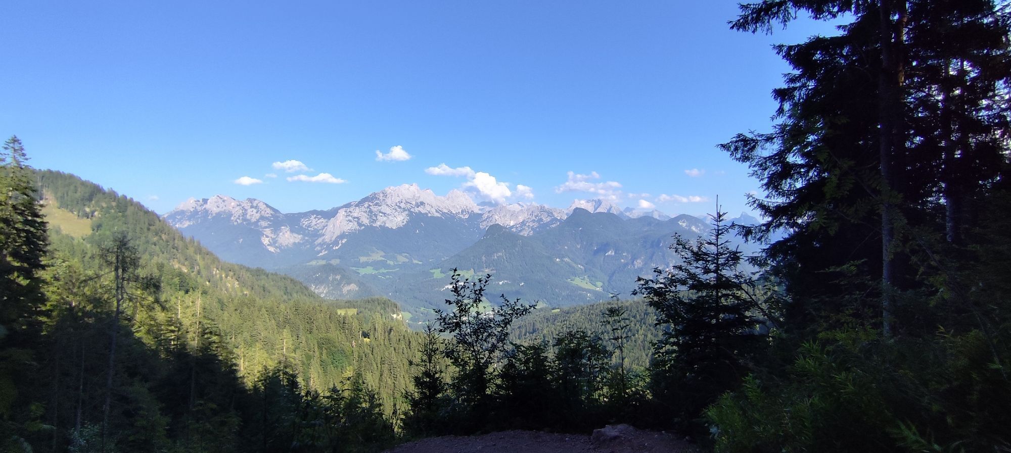
 © AlpenFuchsUtworzono dnia 18.09.2025
 -
 © AlpenFuchsUtworzono dnia 18.09.2025
 -
 © AlpenFuchsUtworzono dnia 18.09.2025
 -
 © AlpenFuchsUtworzono dnia 18.09.2025
 -
 © AlpenFuchsUtworzono dnia 18.09.2025
 -
 © AlpenFuchsUtworzono dnia 18.09.2025
 -

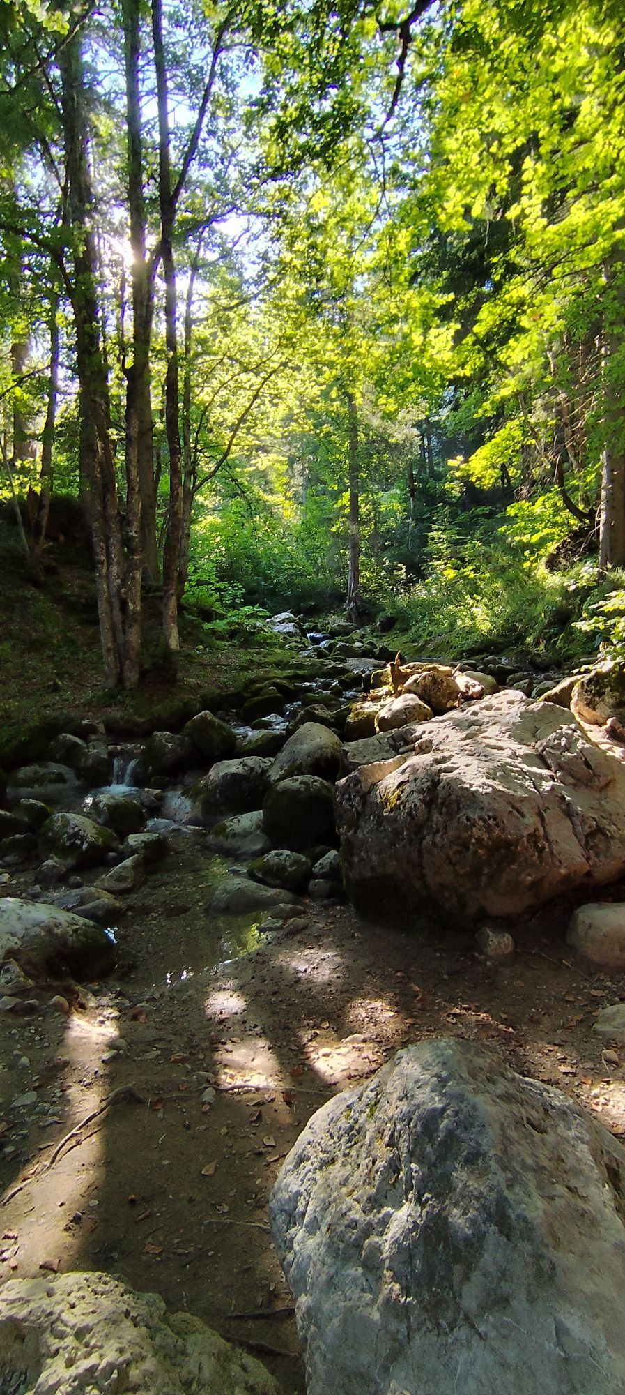
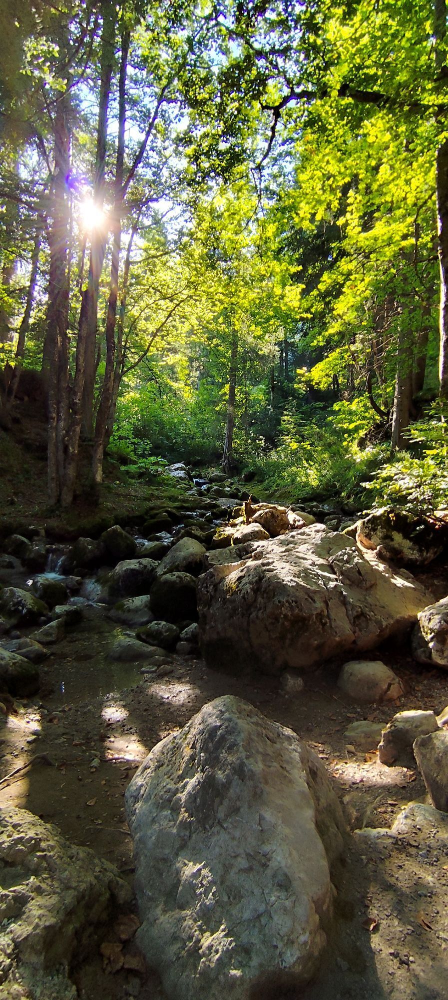
 © Friedrich ReicherUtworzono dnia 06.09.2025
 -
 © Friedrich ReicherUtworzono dnia 06.09.2025
 -
 © Friedrich ReicherUtworzono dnia 06.09.2025
 -
 © Friedrich ReicherUtworzono dnia 06.09.2025
 -
 © Friedrich ReicherUtworzono dnia 06.09.2025
 -

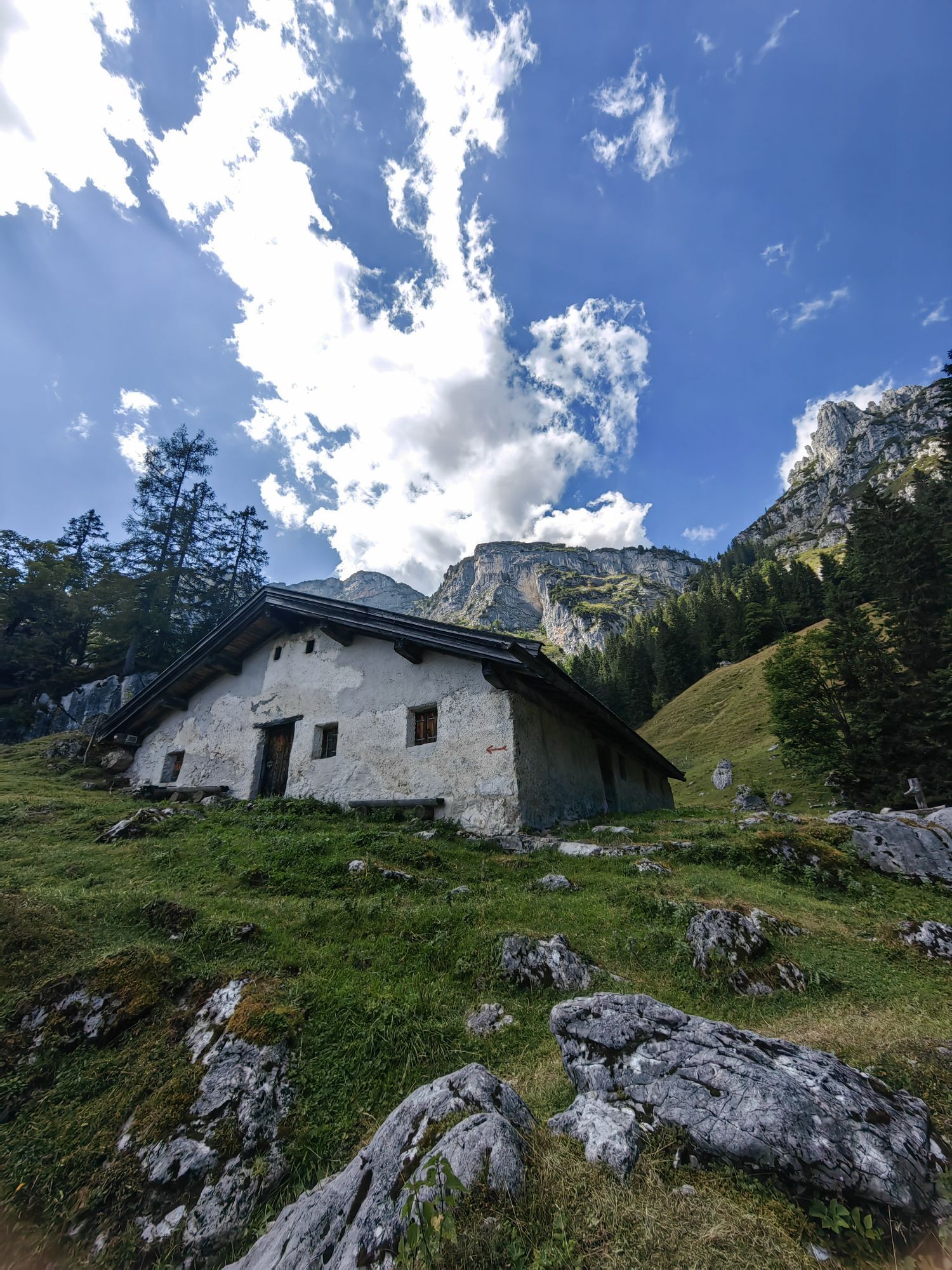
 © Simon BrummerUtworzono dnia 03.09.2025
 -
 © Simon BrummerUtworzono dnia 03.09.2025
 -
 © Simon BrummerUtworzono dnia 03.09.2025
 -
 © Simon BrummerUtworzono dnia 03.09.2025
 -
 © Simon BrummerUtworzono dnia 03.09.2025
 -
 © Matej Mikus 1Utworzono dnia 24.06.2025
 -
 © Matej Mikus 1Utworzono dnia 24.06.2025
 -
 © Matej Mikus 1Utworzono dnia 24.06.2025
 -
 © Matej Mikus 1Utworzono dnia 14.05.2025
 -
 © Matej Mikus 1Utworzono dnia 14.05.2025
 -
 © Aufi 1Utworzono dnia 19.09.2024
 -
 © Glaszhutter IvettUtworzono dnia 18.09.2025
 -
 © Glaszhutter IvettUtworzono dnia 18.09.2025
 -
 © Iris StrohUtworzono dnia 13.03.2026
 -
 © Jarosław WąsielUtworzono dnia 25.02.2026
 -
 © PhKaufmannUtworzono dnia 19.02.2026
 -
 © PhKaufmannUtworzono dnia 19.02.2026
 -
 © Hennes Bick281209Utworzono dnia 12.02.2026
 -
 © Silas ScheinertUtworzono dnia 07.02.2026
 -
 © Jonah SchindlerUtworzono dnia 28.01.2026
 -
 © nordsee.fanUtworzono dnia 21.01.2026
 -
 © Ihsan AydingünesUtworzono dnia 17.01.2026
 -
 © Sam de ManUtworzono dnia 13.01.2026
 -
 © Sam de ManUtworzono dnia 13.01.2026
 -

 © MayerUtworzono dnia 26.10.2025
 -
 © Michael RohrmoserUtworzono dnia 23.10.2025
 -

 © Simon ZelderUtworzono dnia 18.10.2025
 -
 © Levian Cassiel SzelagUtworzono dnia 19.08.2025
 -
 © Levian Cassiel SzelagUtworzono dnia 19.08.2025
 -
 © Levian Cassiel SzelagUtworzono dnia 19.08.2025
 -
 © Levian Cassiel SzelagUtworzono dnia 19.08.2025
 -
 © Levian Cassiel SzelagUtworzono dnia 19.08.2025
 -

 © Christine ArnoldUtworzono dnia 19.08.2025
 -
 © Christine ArnoldUtworzono dnia 19.08.2025
 -
 © Markus BaumannUtworzono dnia 09.06.2025
 -
 © Wolfgang KleeweinUtworzono dnia 30.08.2022


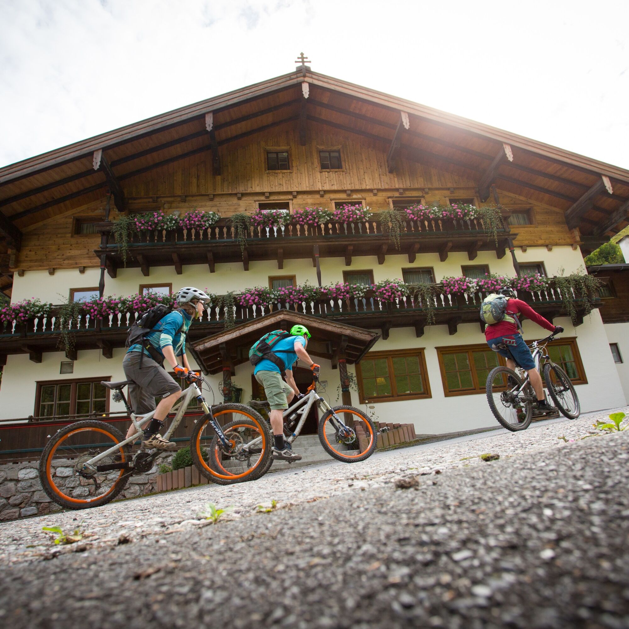
You start the bike route in Lofer in the Salzburger Saalachtal. There are two options: either take the Almbahnen I & II to Almenwelt Lofer or ride about 8 km and 700 m elevation on the Höhenstraße to Almenwelt...
You start the bike route in Lofer in the Salzburger Saalachtal. There are two options: either take the Almbahnen I & II to Almenwelt Lofer or ride about 8 km and 700 m elevation on the Höhenstraße to Almenwelt Lofer.
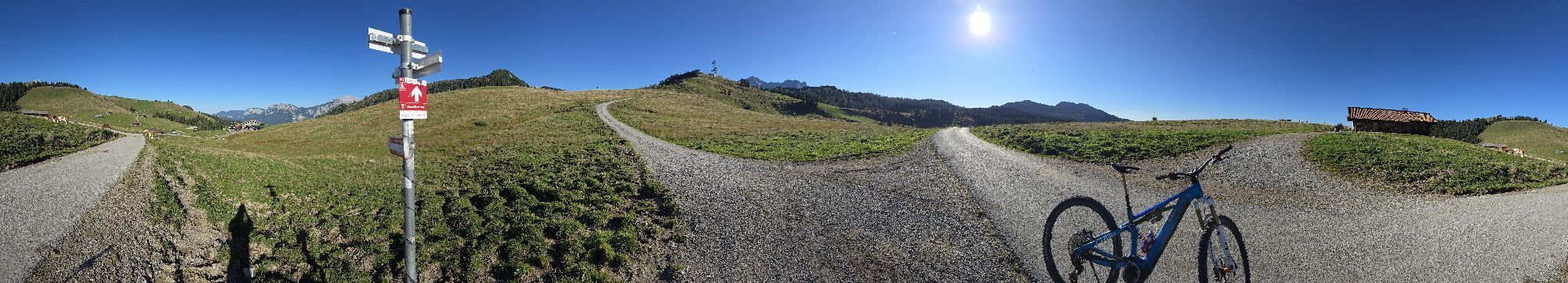
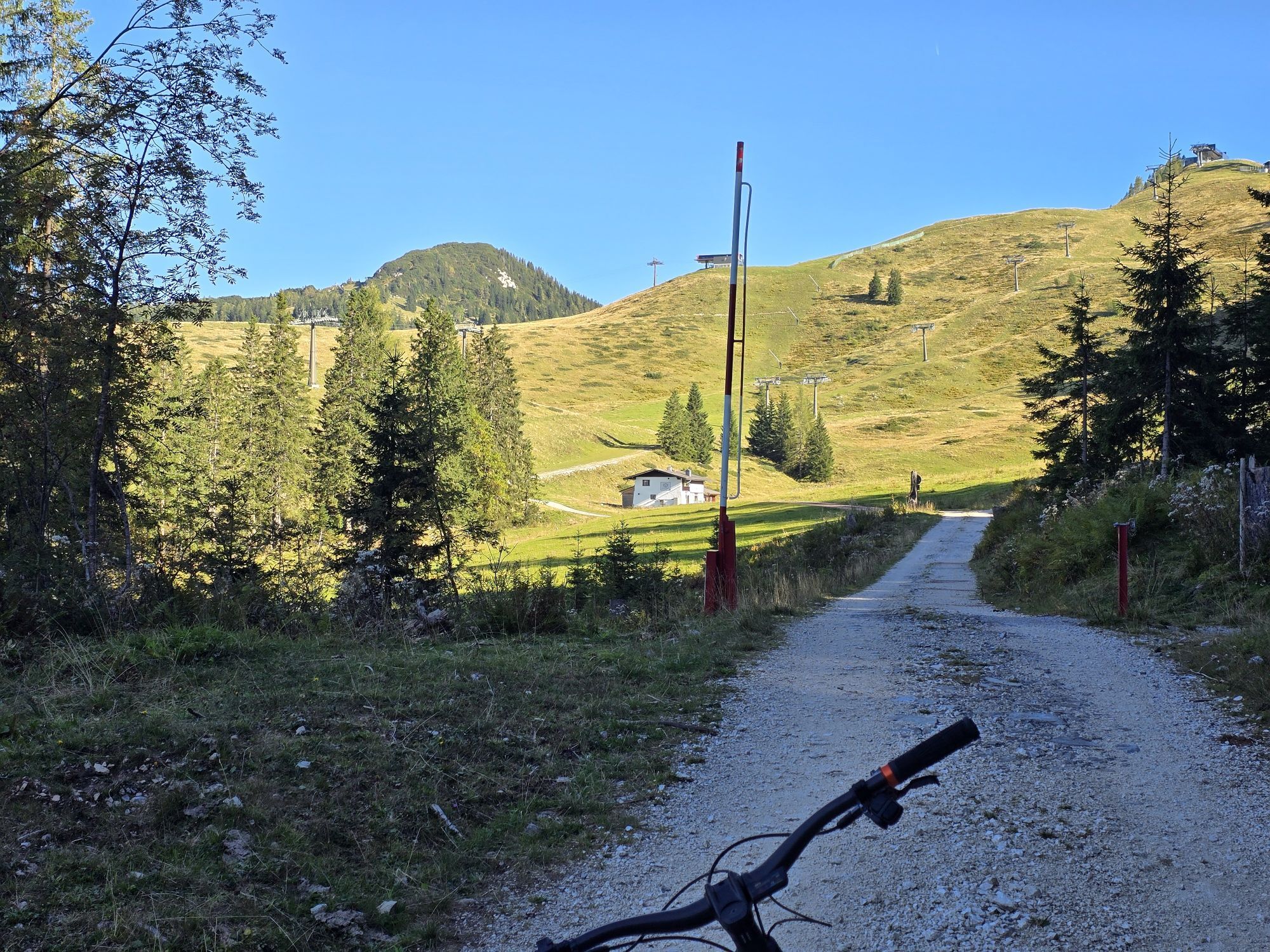
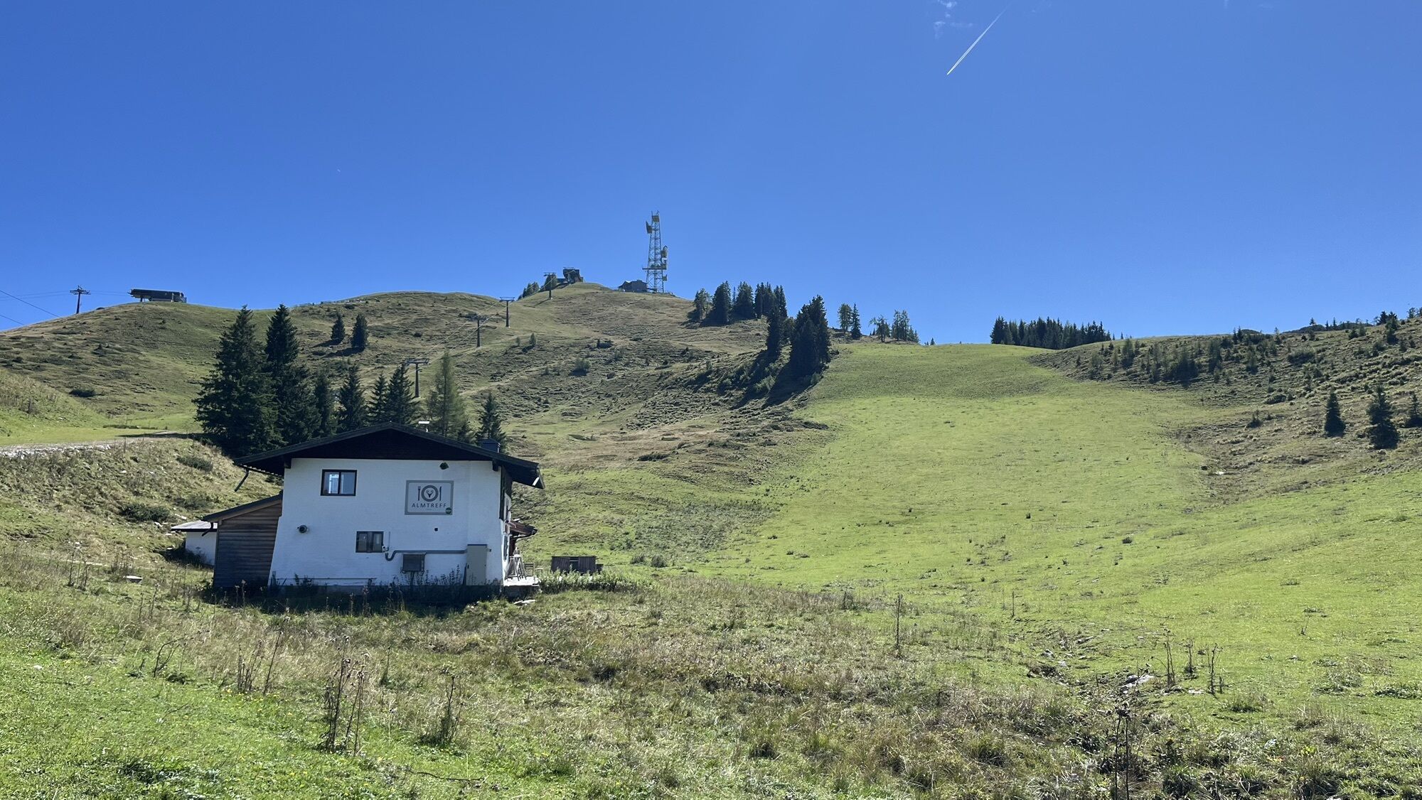
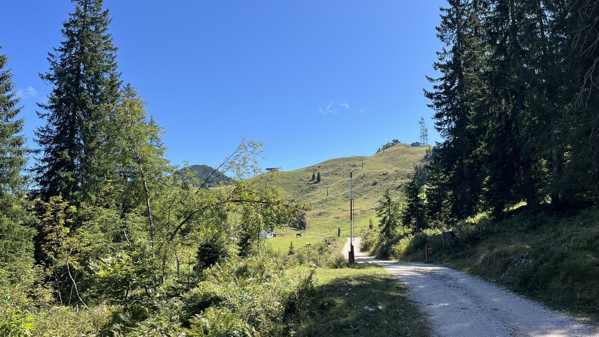
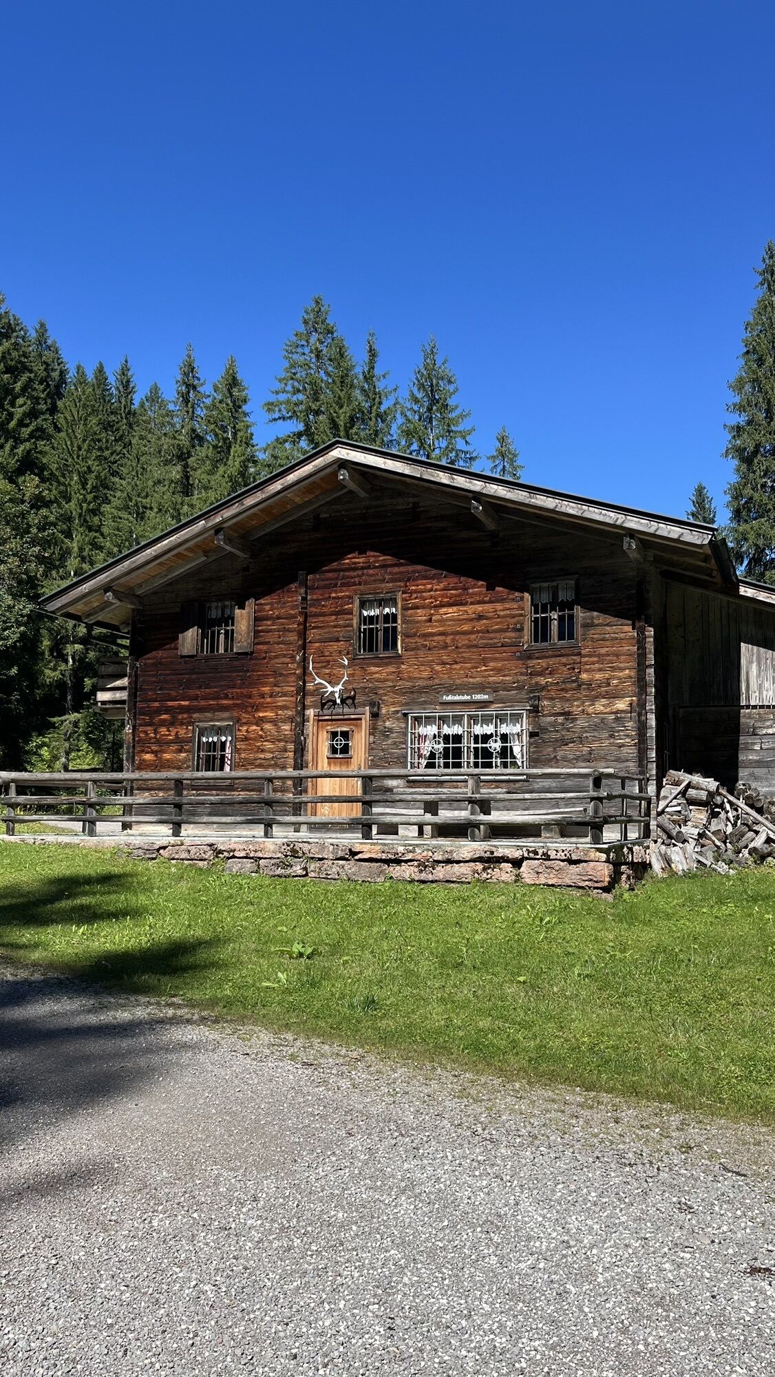
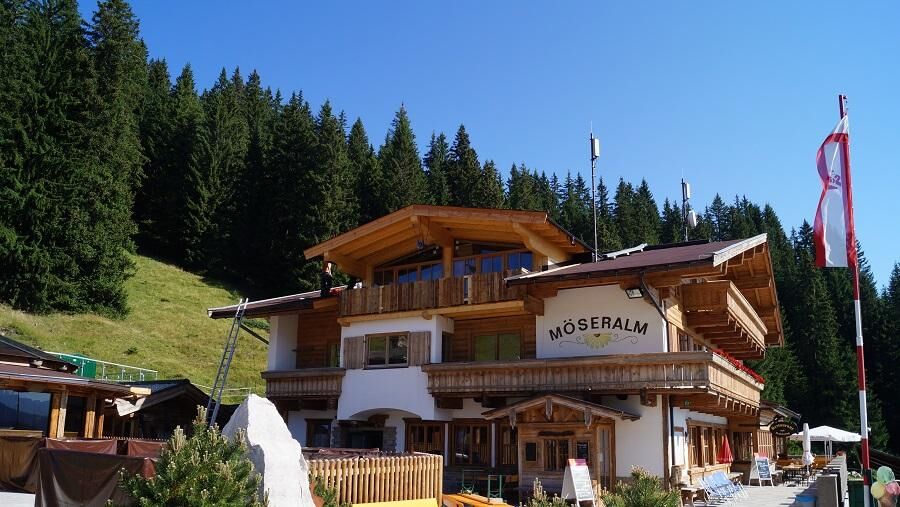
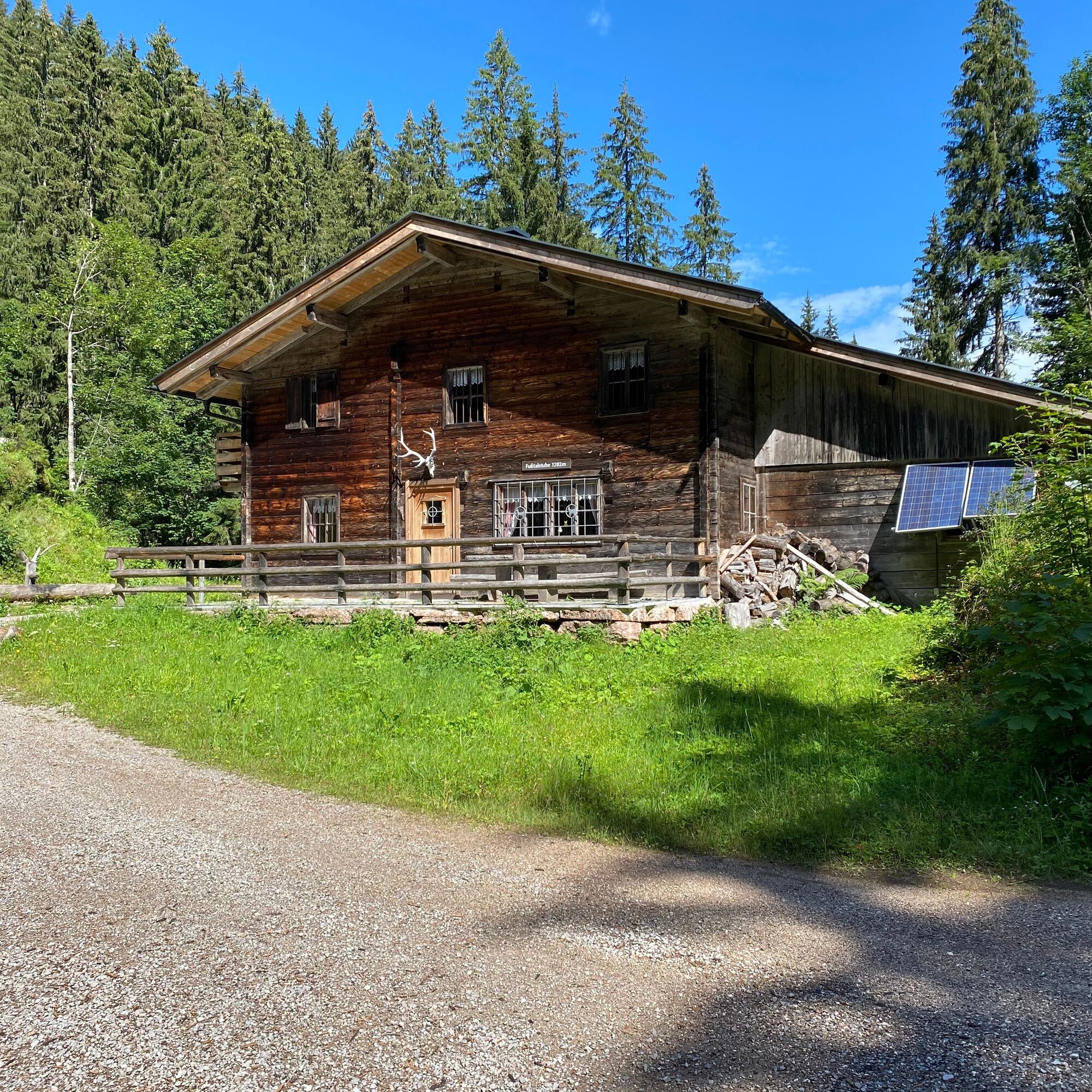
Once at the top, you first head towards Haus Schönblick, then continue to the middle Fußtaltube, Möseralm, Tanzanger, and to Kreuzstube. Here, turn right and go straight on an easy route to Moarlack.
From this path, you reach Friedlwirt in Unken and then onwards to the federal road.
Here, turn right as well and ride on the Tauernradweg to Reith. In Reith, leave the Tauernradweg and go via Au to Scheffsnoth back to Lofer.
Route SASA 25 on the bike map Salzburger Saalachtal

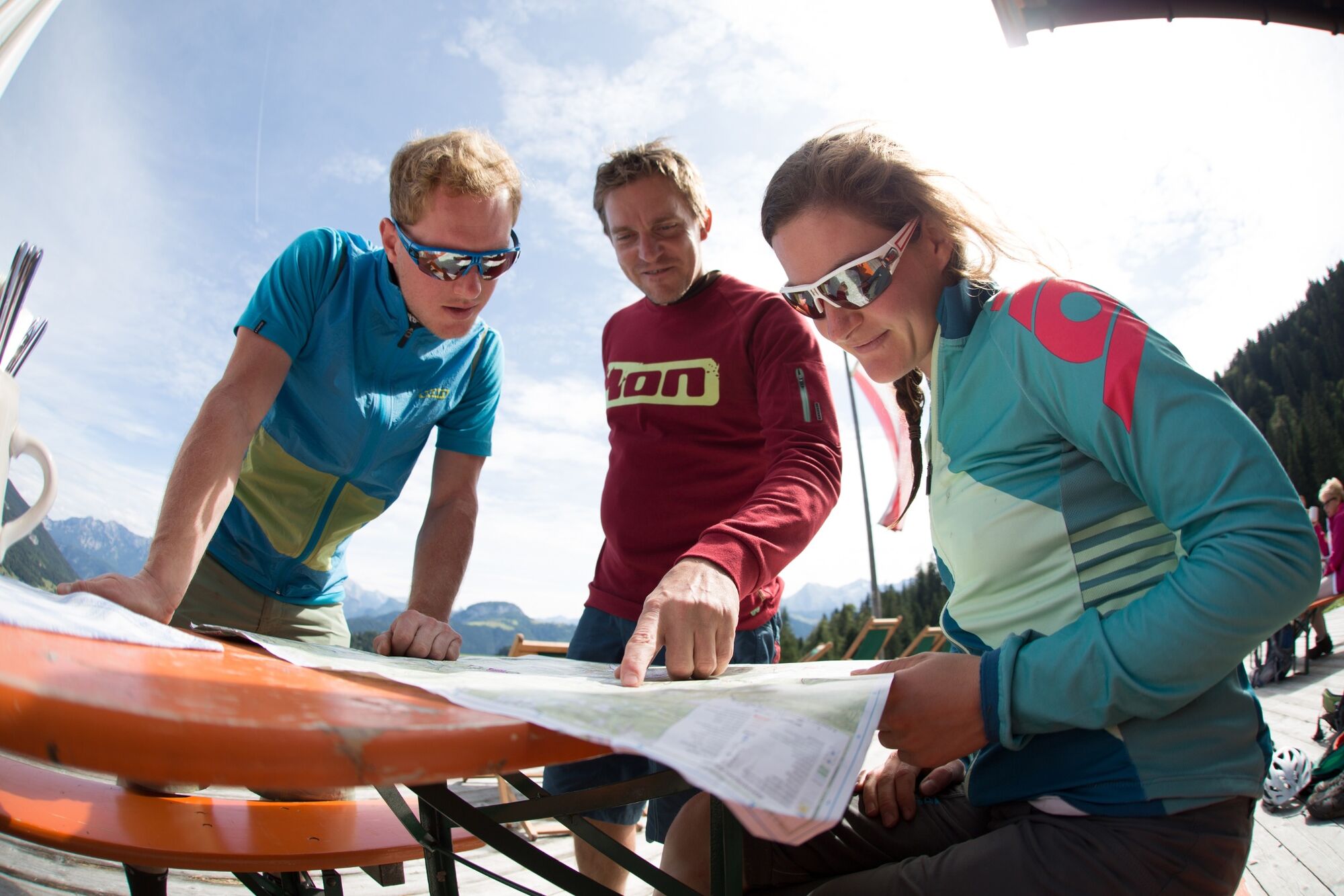
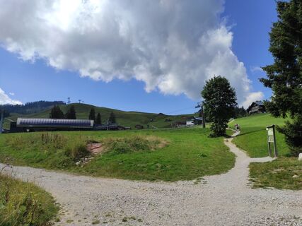
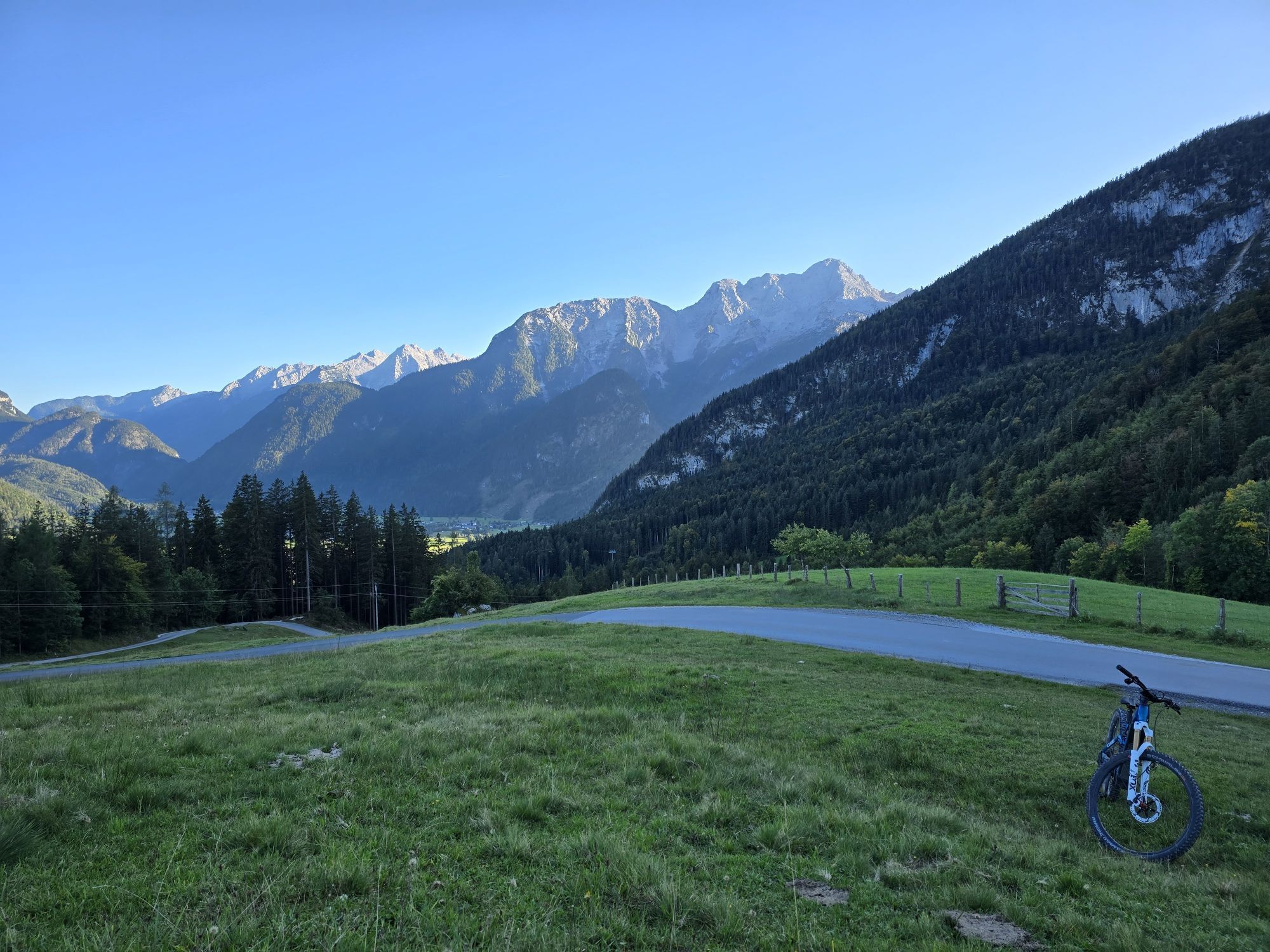
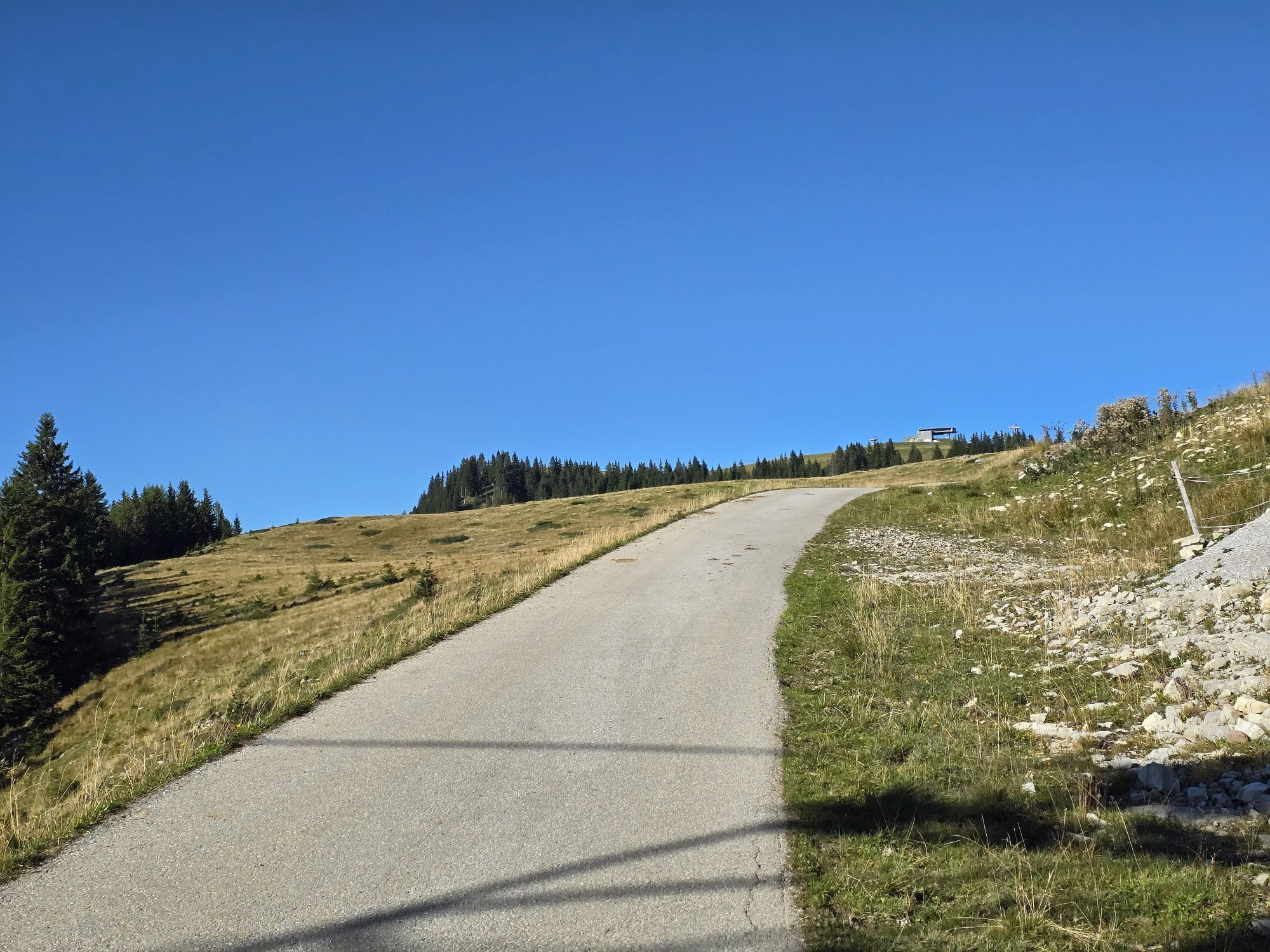
Lofer – Almenwelt Lofer (Bike transport Almbahnen I & II) - Fußtaltube - Schwarzberghöhe - Möseralm - Tanzanger - Winklmoos - Moarlack – Hintergföll - Friedlwirt - Unken - Reith - Lenzen - Au - Scheffsnoth - Lofer
Tak
Tak
In addition to a water bottle, we recommend sturdy footwear, warm clothing and rain protection, repair kit, first aid kit, mobile phone, light, gloves, sunglasses, and something to eat. And of course, don't forget the helmet.
Endurance & fitness required
Coming from Salzburg: Along the B178 to Lofer. After about 1.5 kilometers, the start of the route is directly at the Lofer information office next to the federal road.
Coming from St. Johann/T. and Saalfelden: Take the Salzburg exit at the roundabout in Lofer. After about 400 meters, the start of the route is directly at the information office next to the federal road.
By bus line 260 (timetable) or bus line 4012 to the Lofer Neue Mittelschule/TVB stop
Free at the large parking lot Lofer (P2); right next to the information office
Shortening of the route possible by bike transport with the Almbahnen I & II to Almenwelt Lofer.
Kamery internetowe z trasy
-
Schwarzlofer
-
Waidring - Kammerkör
-
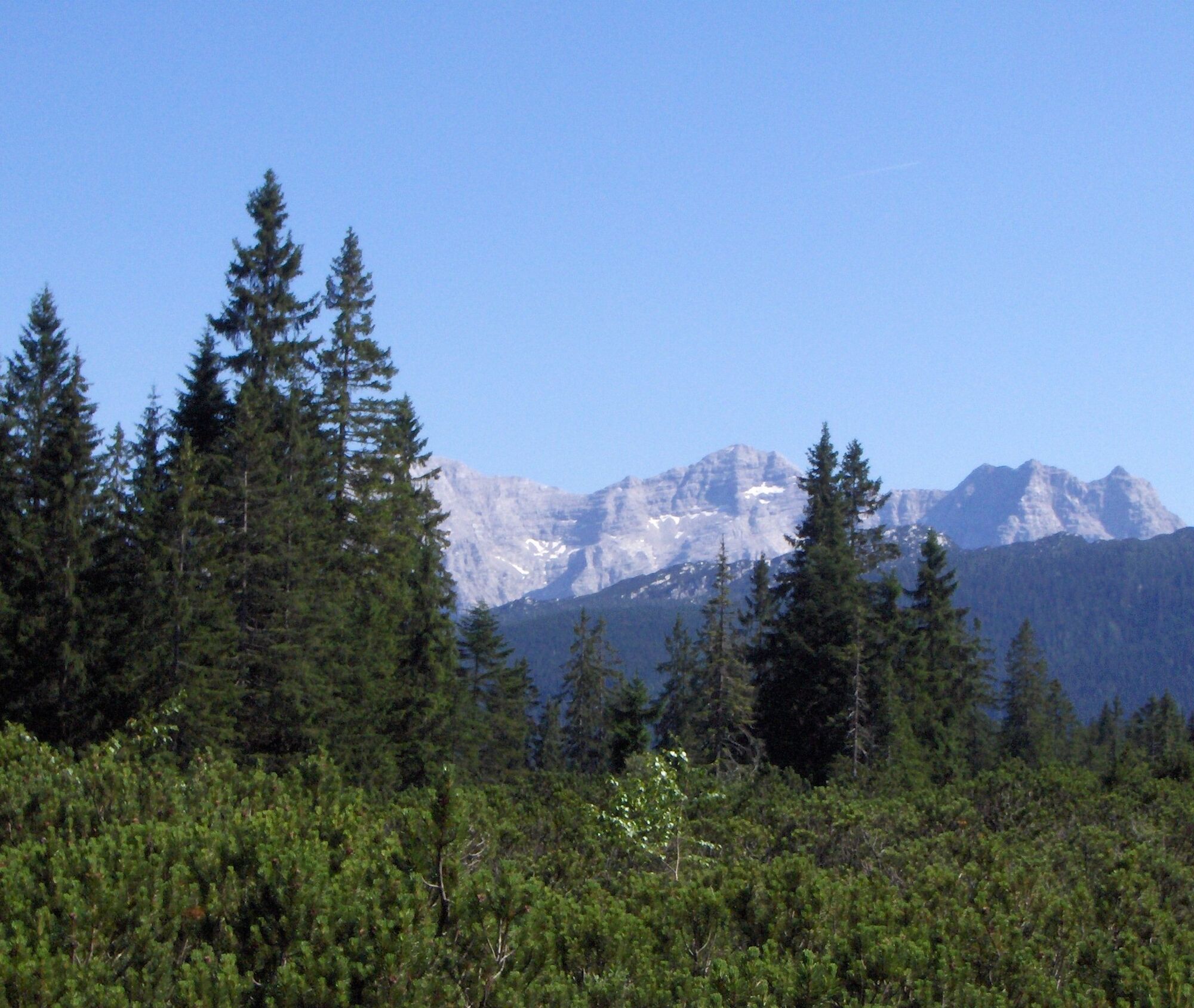
Winklmoosalm
-
Bergstation Almbahn II
-
Almenwelt Lofer
-
Almenwelt Lofer
-
Almenwelt Lofer
-
Almenwelt Lofer
-
Almenwelt Lofer
-
Almenwelt Lofer
-
Almenwelt Lofer
-
Almenwelt Lofer
-
Almenwelt Lofer
-
Loderbichl - Talblick von Mittelstation, 1000 m
-
Waidring
-
Winklmoosalm
-
Almenwelt Lofer - Talstation
-
Heutal - Wildalm Talstation
-
Lofer
-
Scheiblberg
-
Heutal - Sattelkurvenlift Berg
-
Waidring Schweizerhof
-
Heutal Lifte Unken - Wildalm Bergstation
-
Waidring Kammerkör
-
Schwarzlofer
Popularne wycieczki w okolicy
-
4,5
Rundweg vom Hintersee zur Halsalm
średniWędrówka 9,53 km -
3,3
From Heutal to Sonntagshorn in the Salzburger Saalachtal
średniWędrówka 11,7 km -
4,5
Unternberg
światłoWędrówka 9,20 km -
4,2
Halsalm
Wędrówka 6,43 km -
3,6
Rauschberg Rundwanderung über Sackgrabensteig
światłoWędrówka 18 km -
4,6
CHIEMGAU: Hörndlwand (1684m), Gurnwandkopf (1691m)
światłoWędrówka 12,6 km -
4,4
unternberg Ruhpolding, Bayern
średniWędrówka zimą 3,82 km -
3,3
Aschauerklamm
Wędrówka 15,1 km -
4,8
Atemberaubende Aussicht auf dem Dürrnbachhorn
średniWędrówka 8,44 km -
4,0
Stuhlkopf. Reit im Winkl, Weitsee
światłoWycieczki górskie 7,97 km

Wędrówki i tropienie


Nie przegap ofert i inspiracji na następne wakacje
Twój adres e-mail została dodana do listy mailingowej.