



Schmittenhöhe




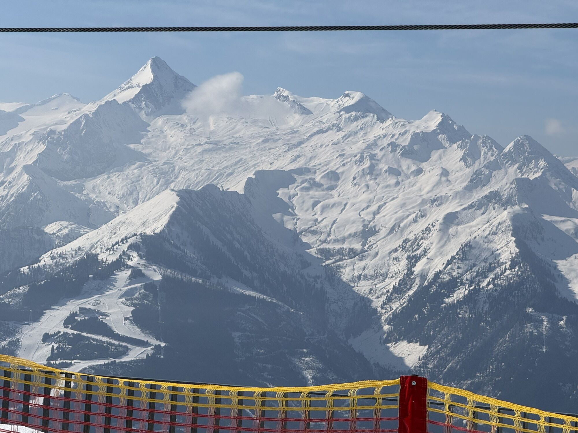
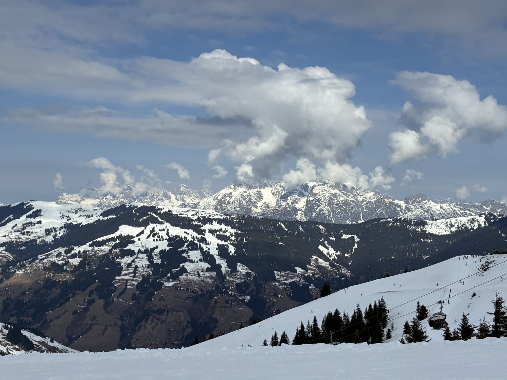
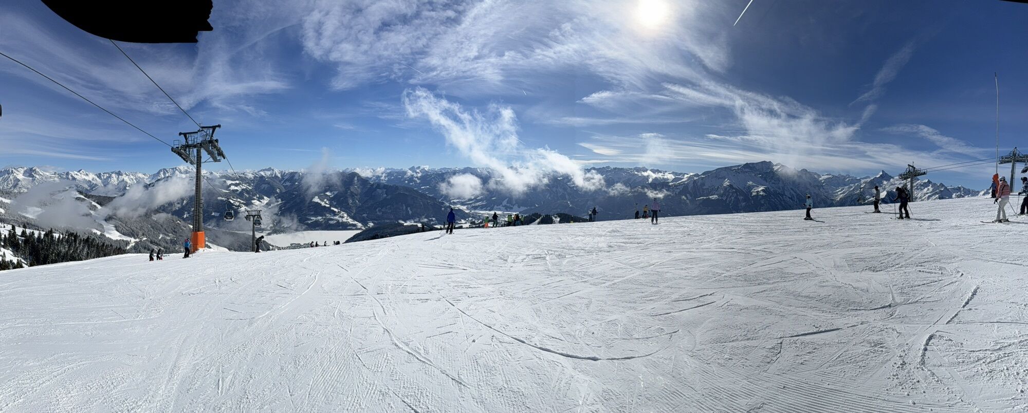
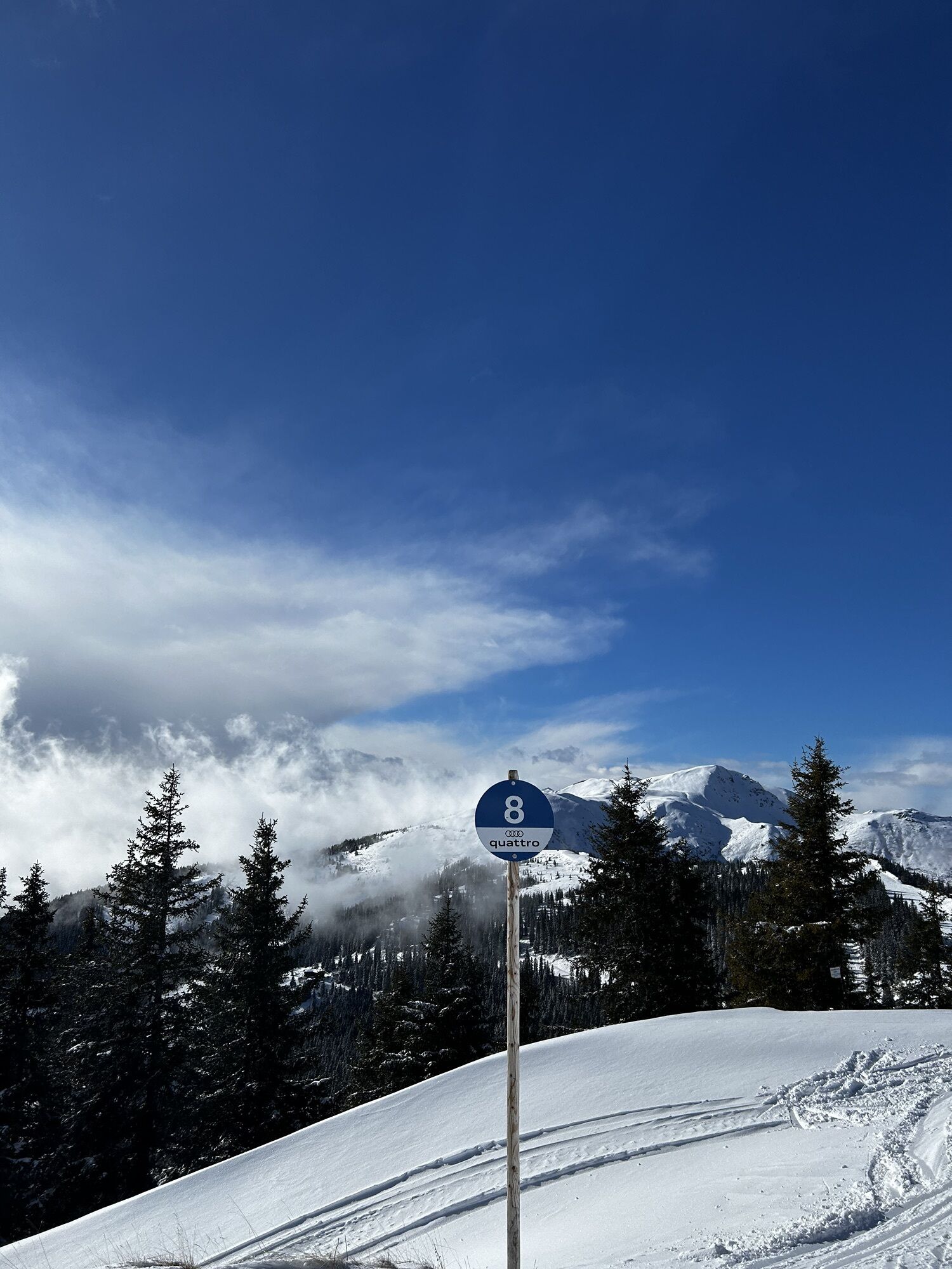
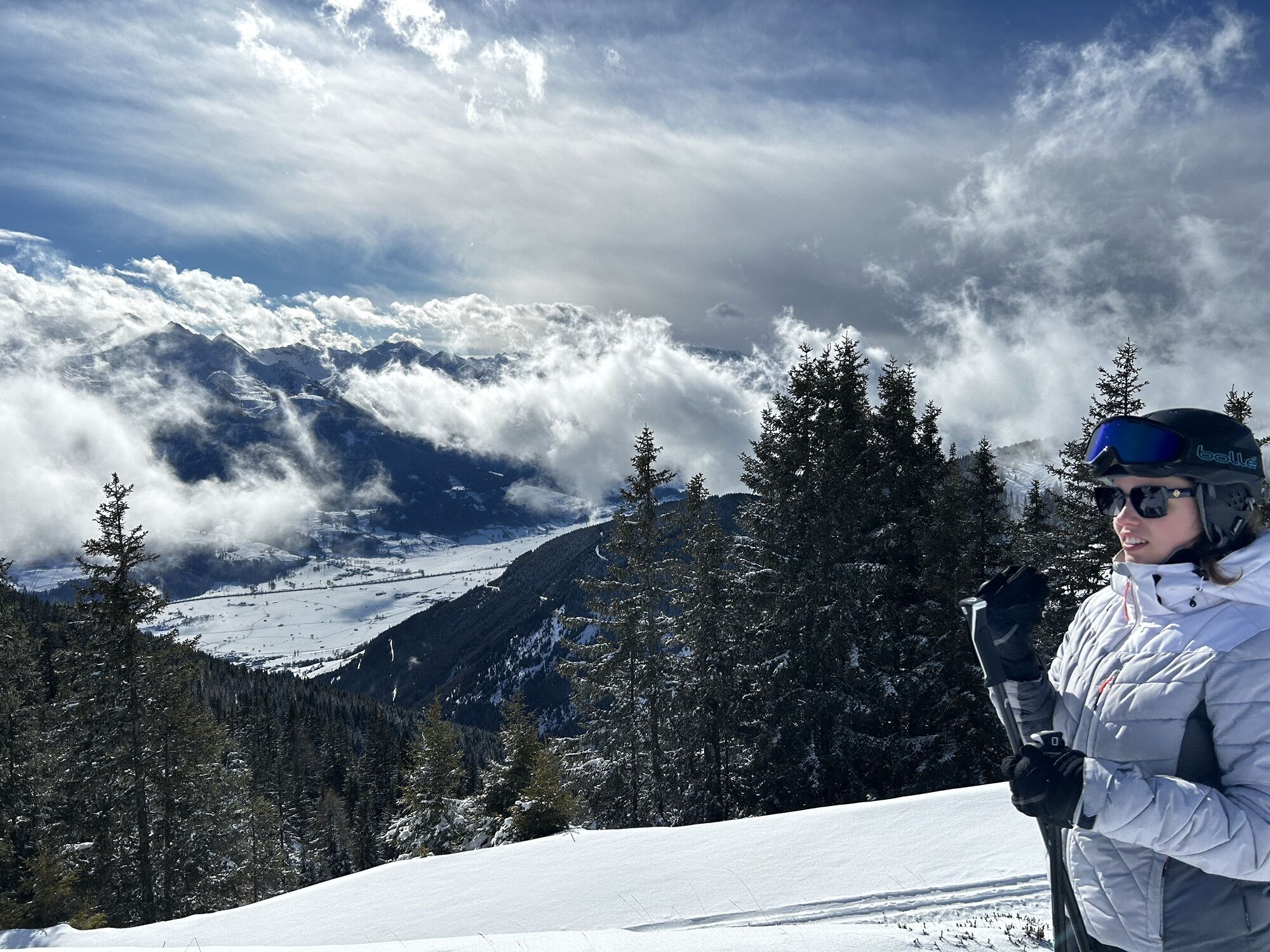
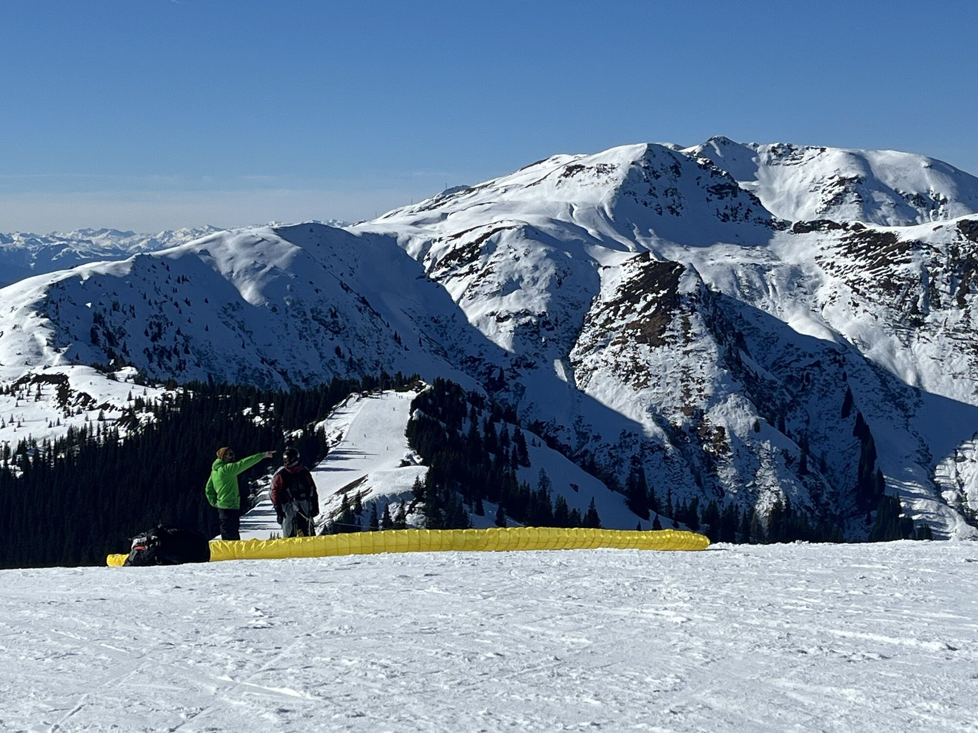
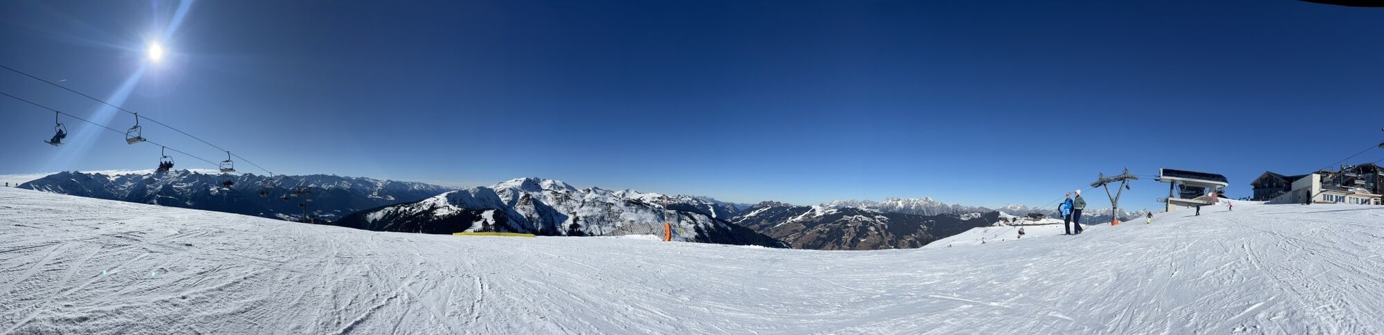
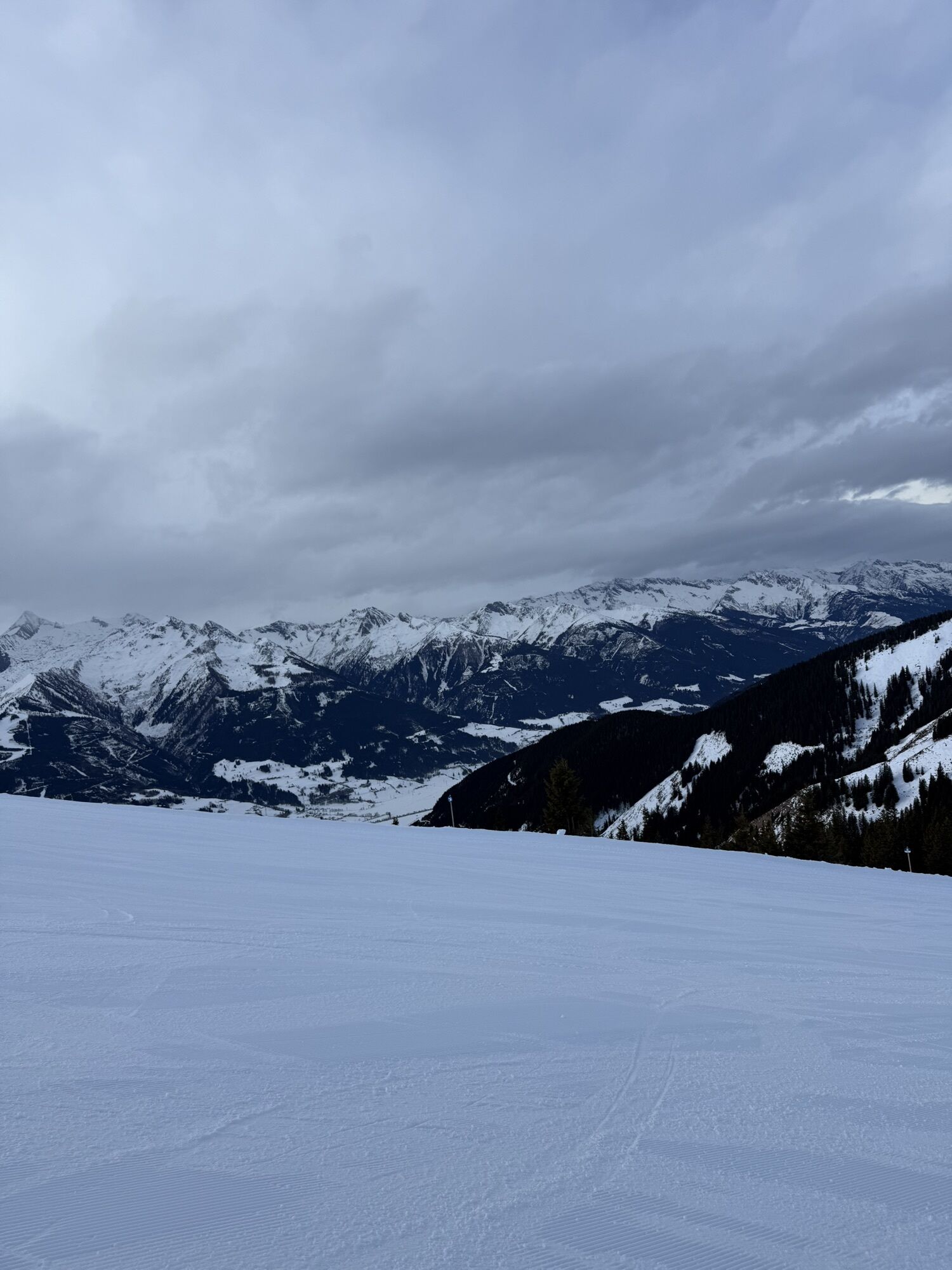
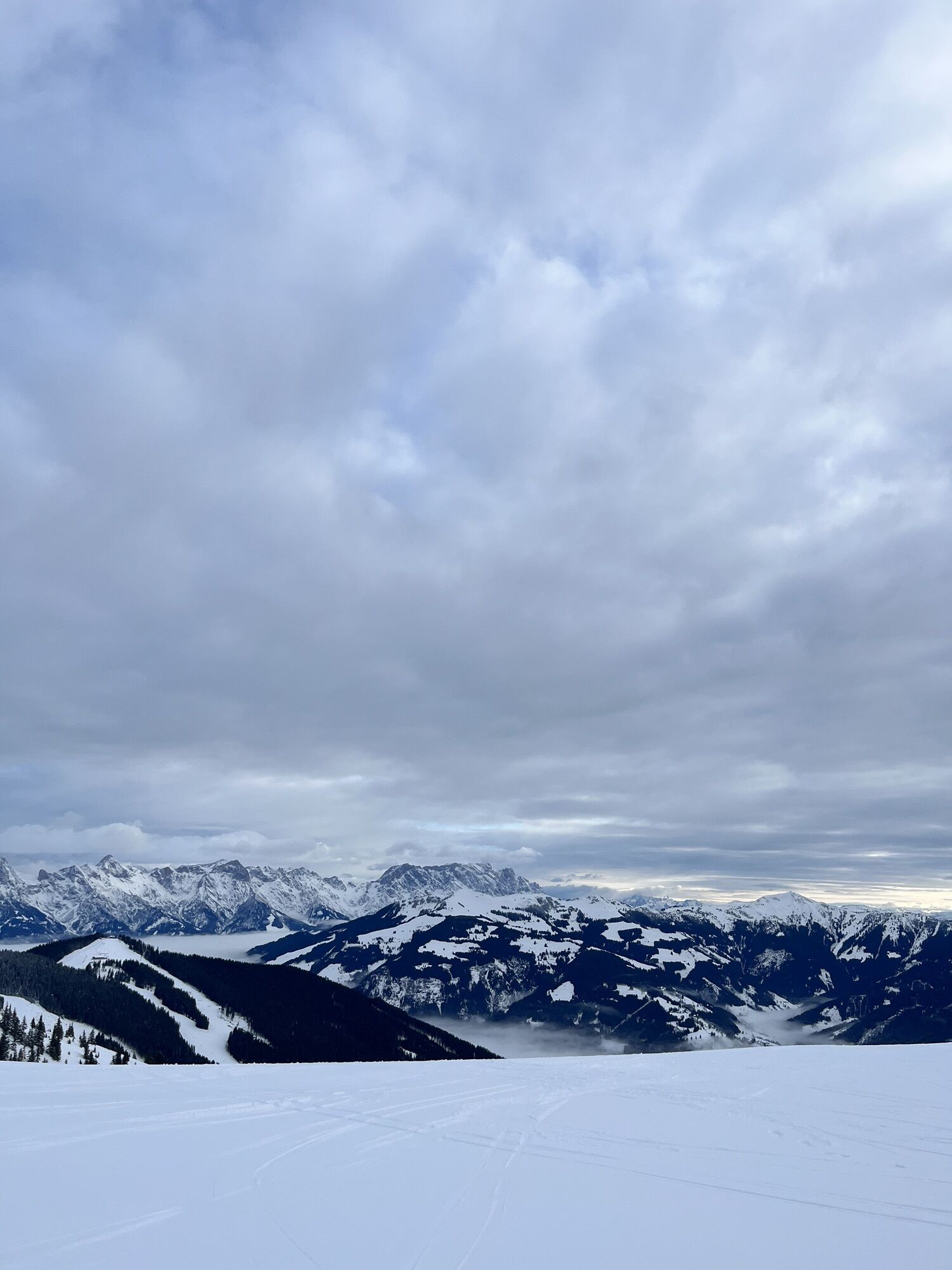
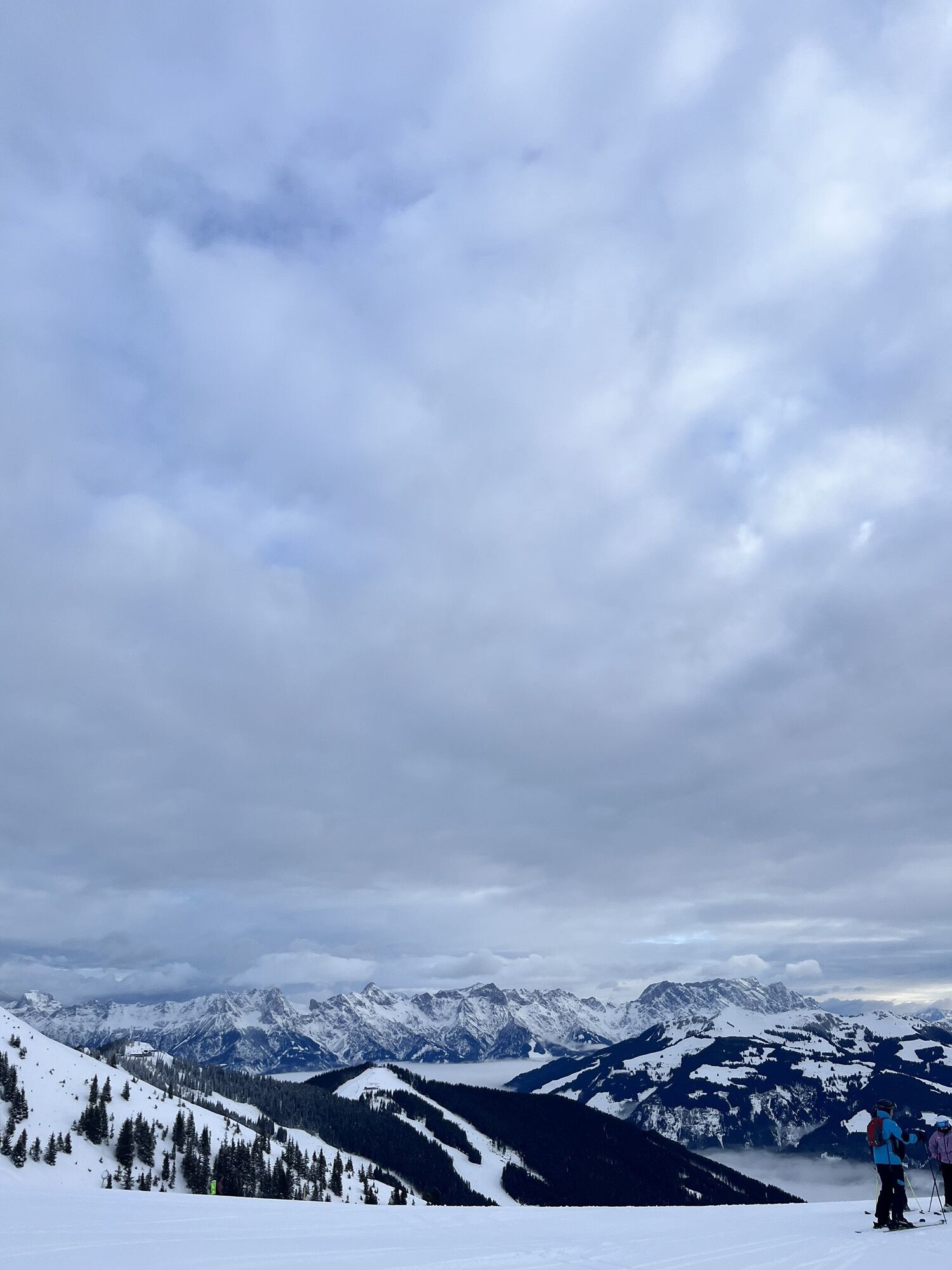
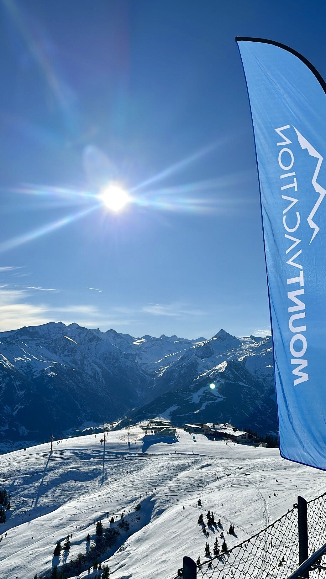
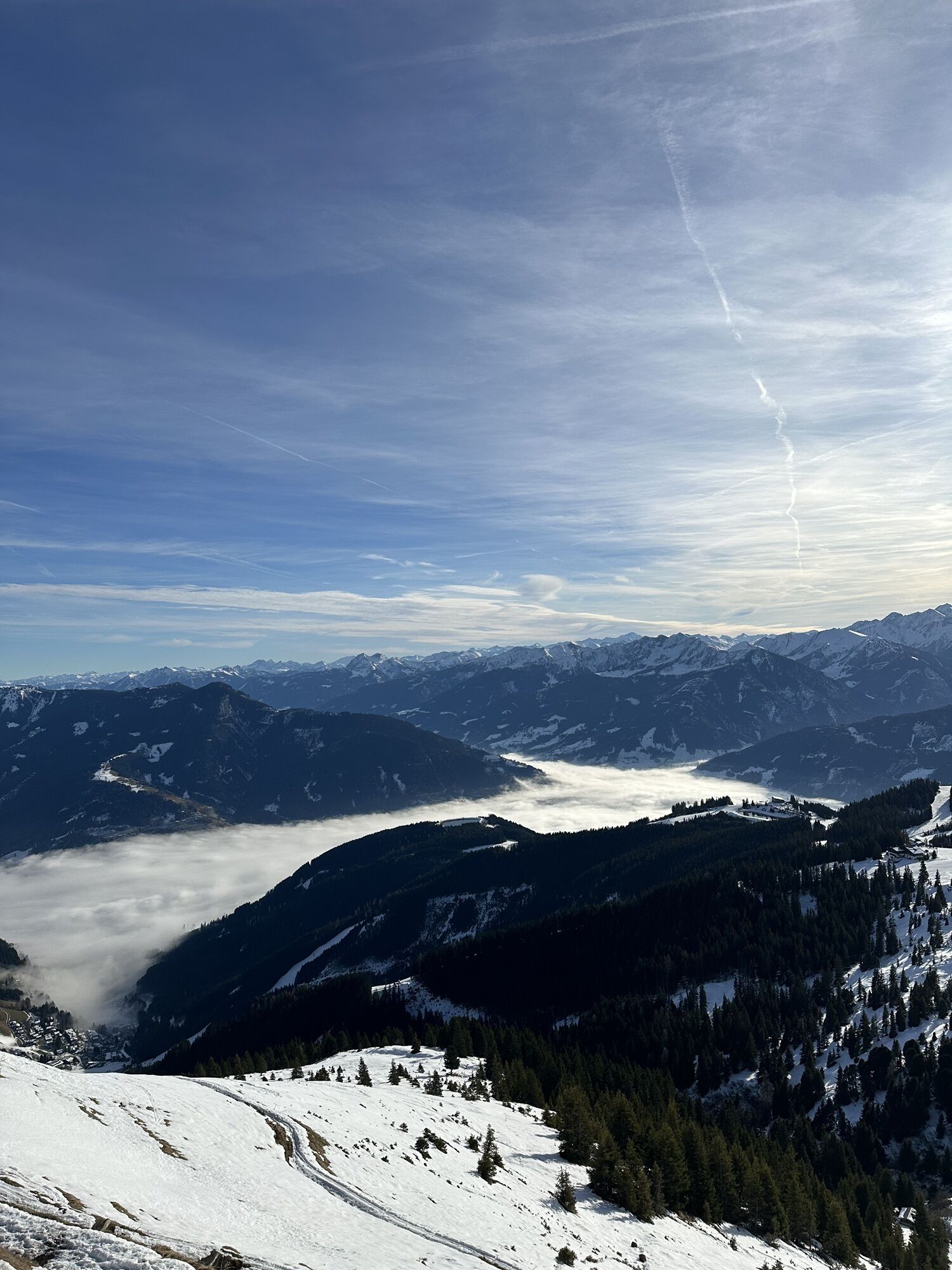
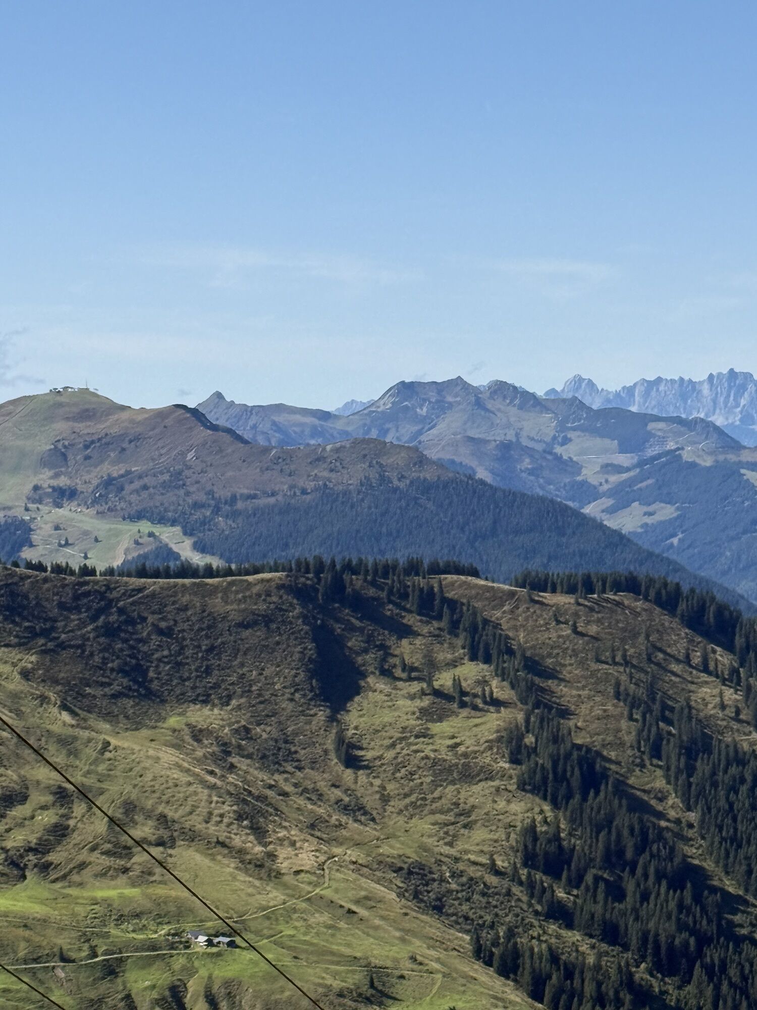
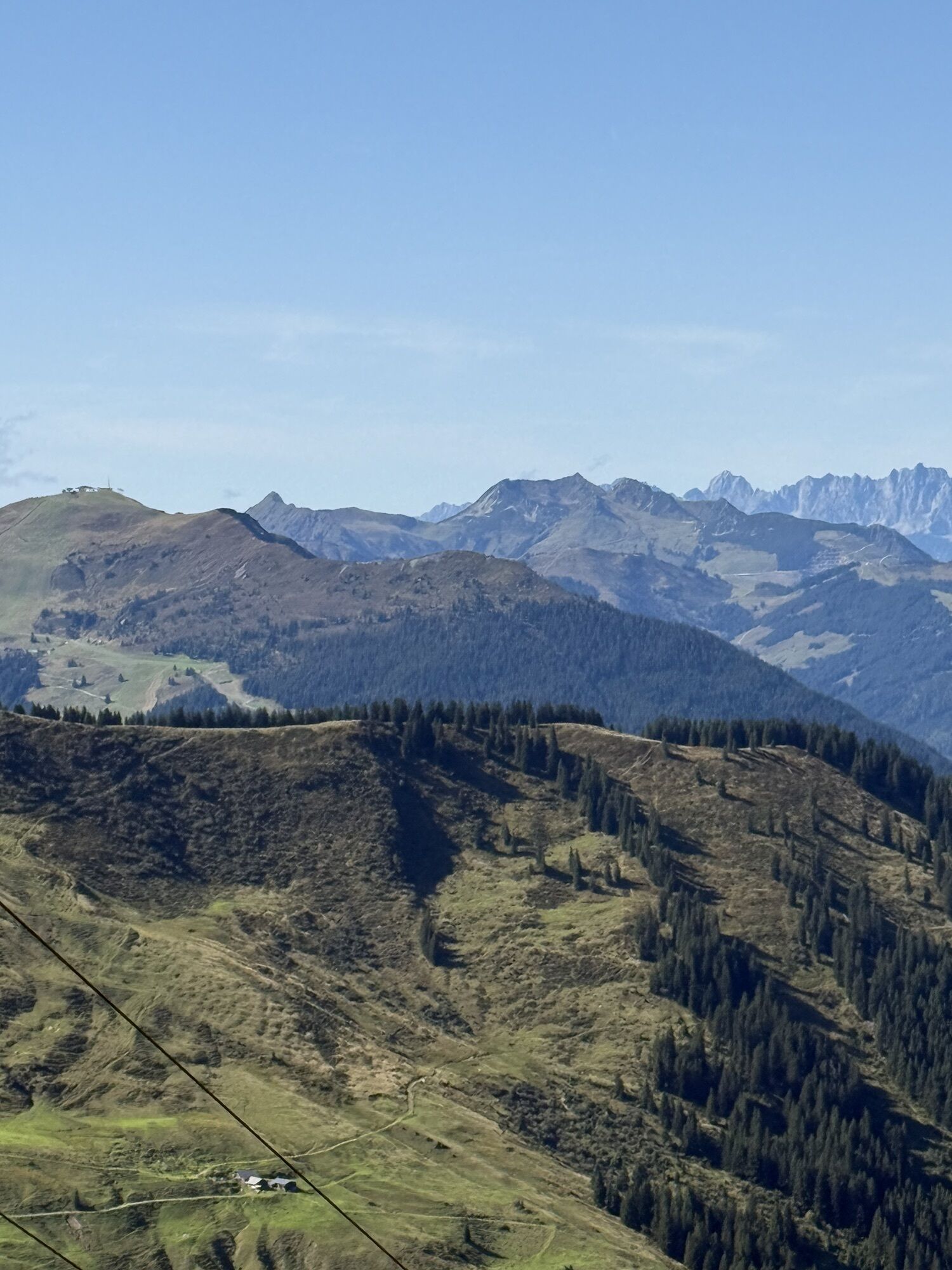
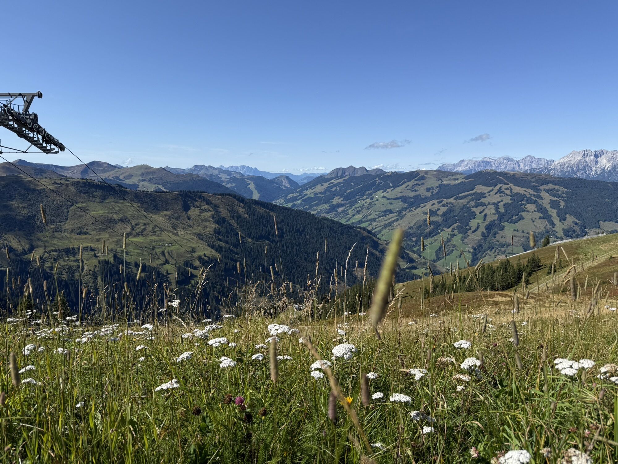
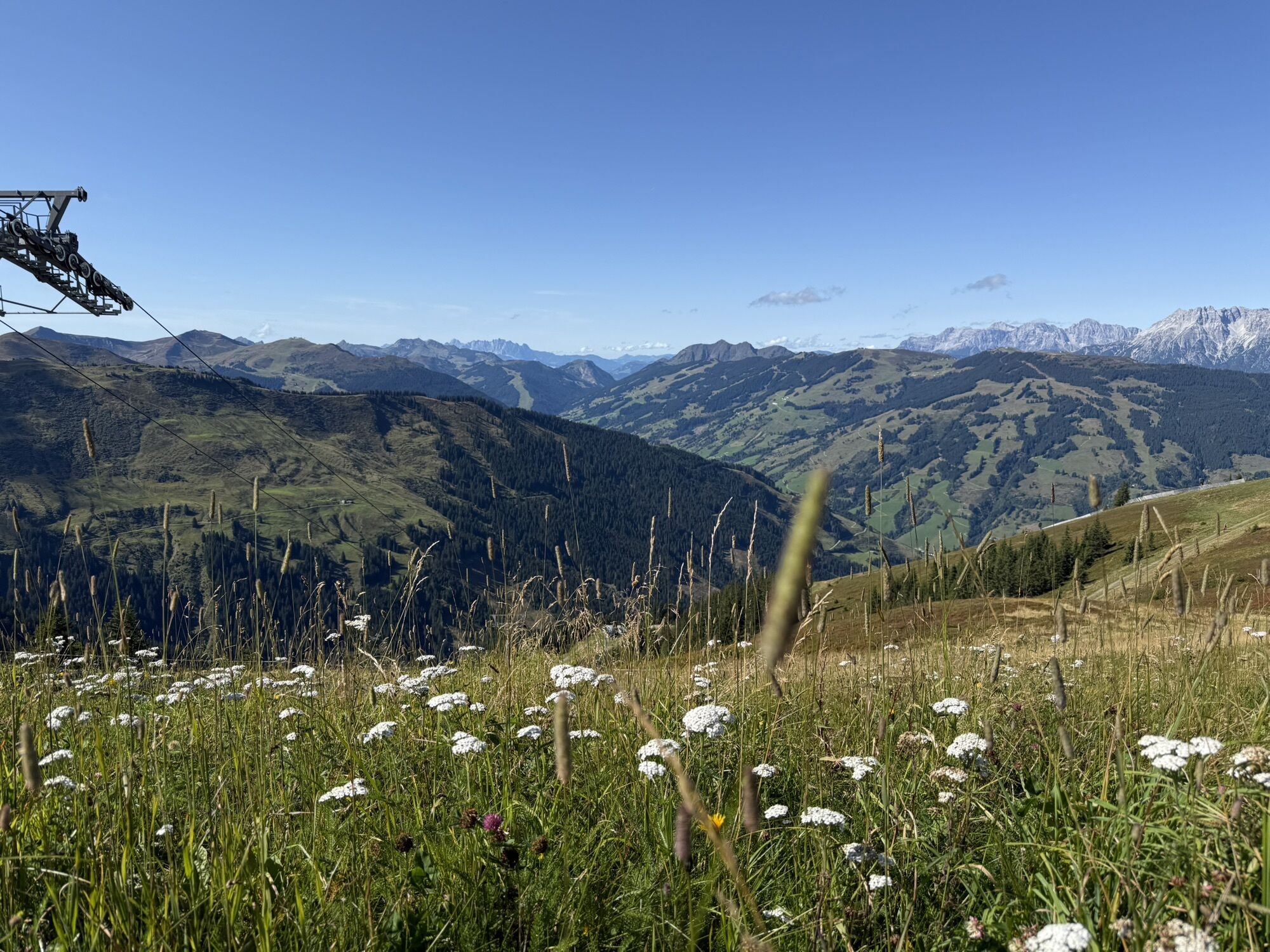
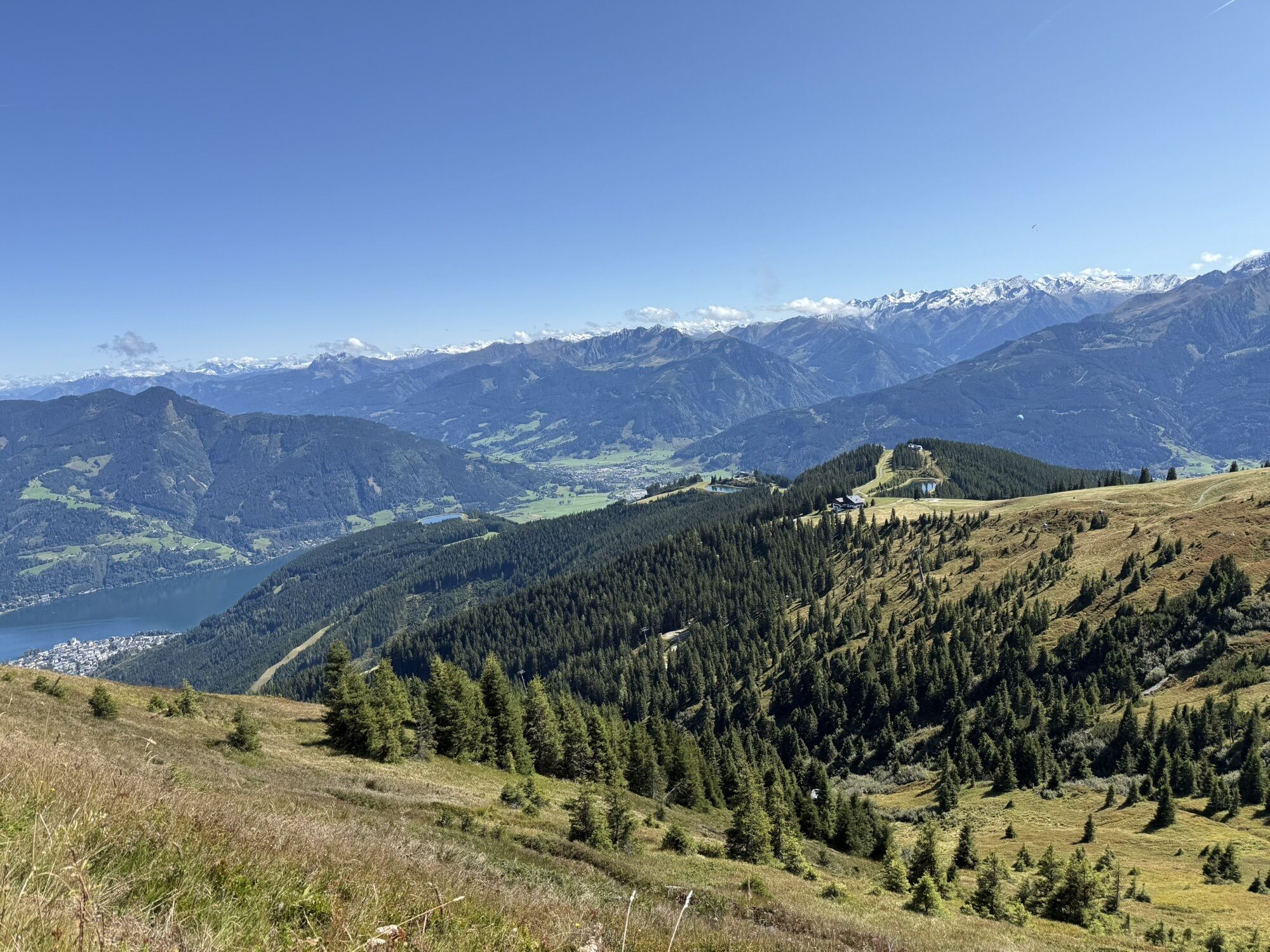
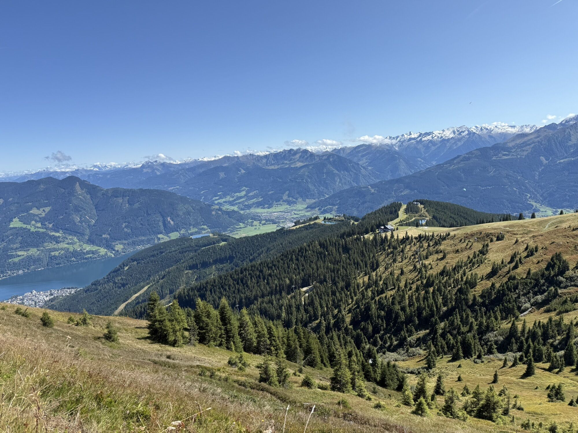
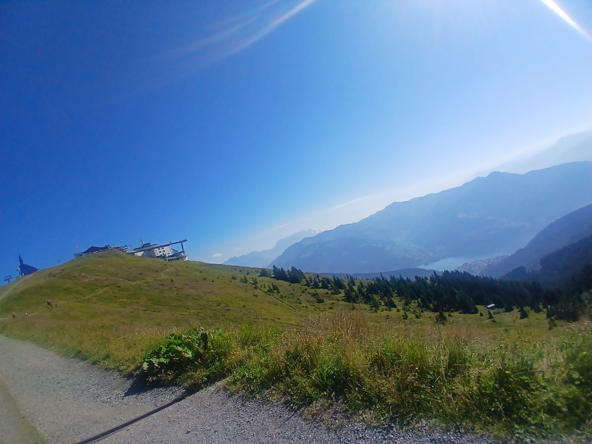
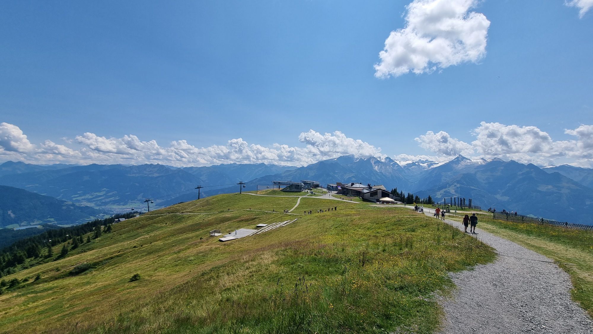
The route leads through diverse landscapes - from the sunny side of the village through forest passages to picturesque alpine pasture areas, it offers a variety of natural beauties. The highlight is undoubtedly...
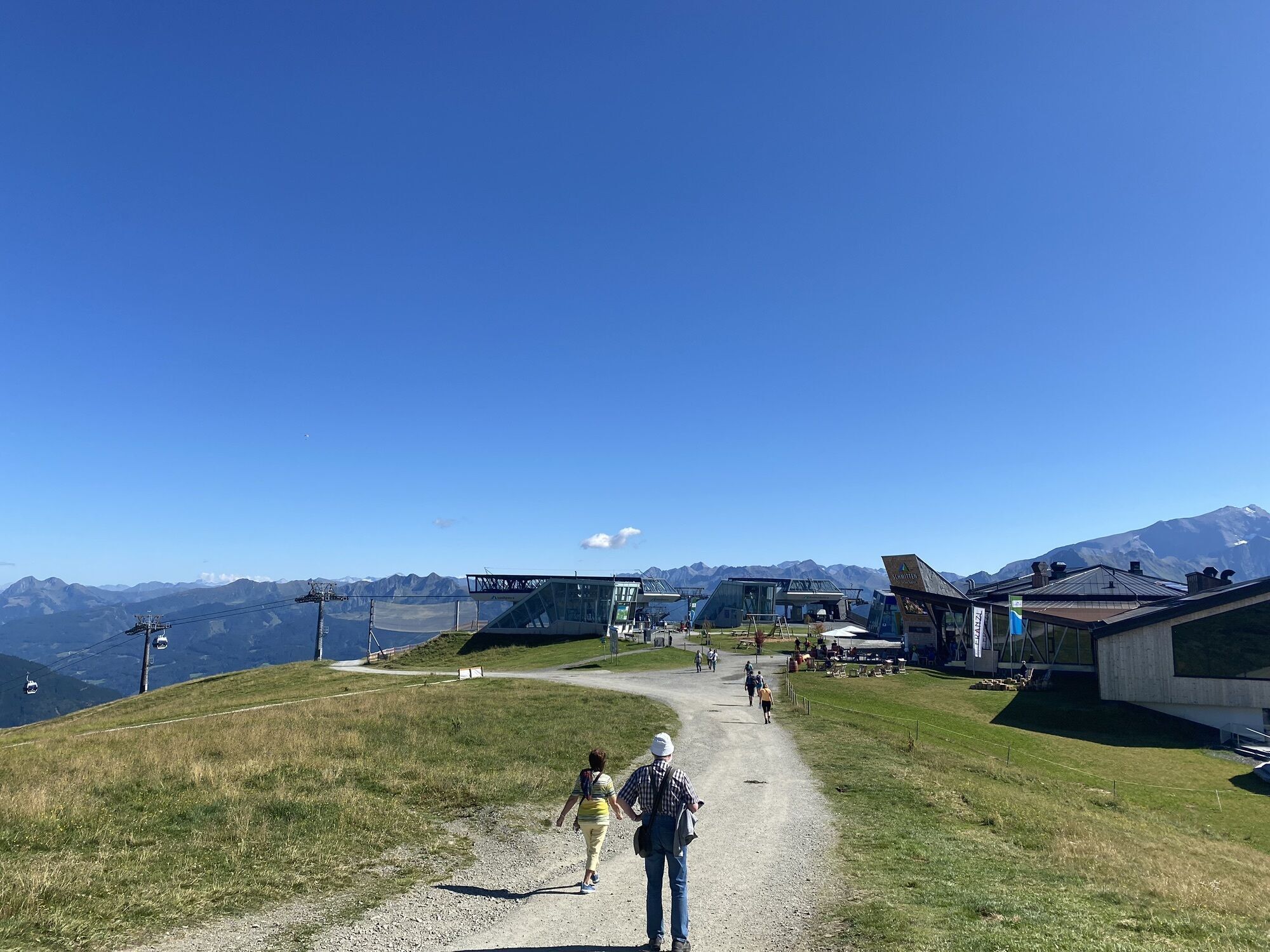
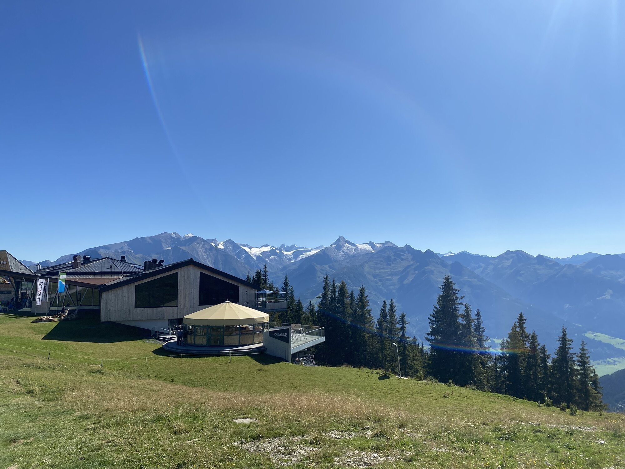
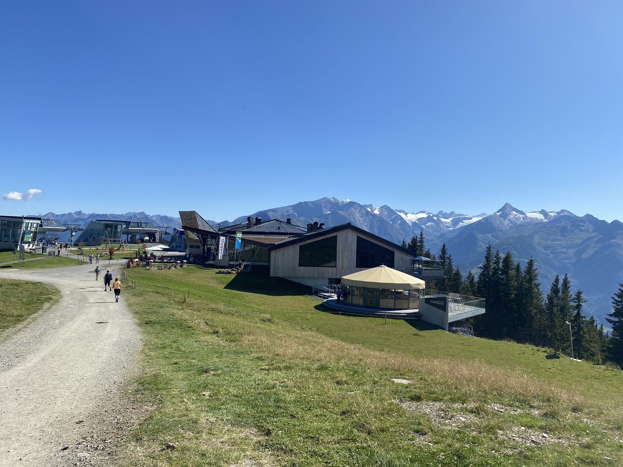
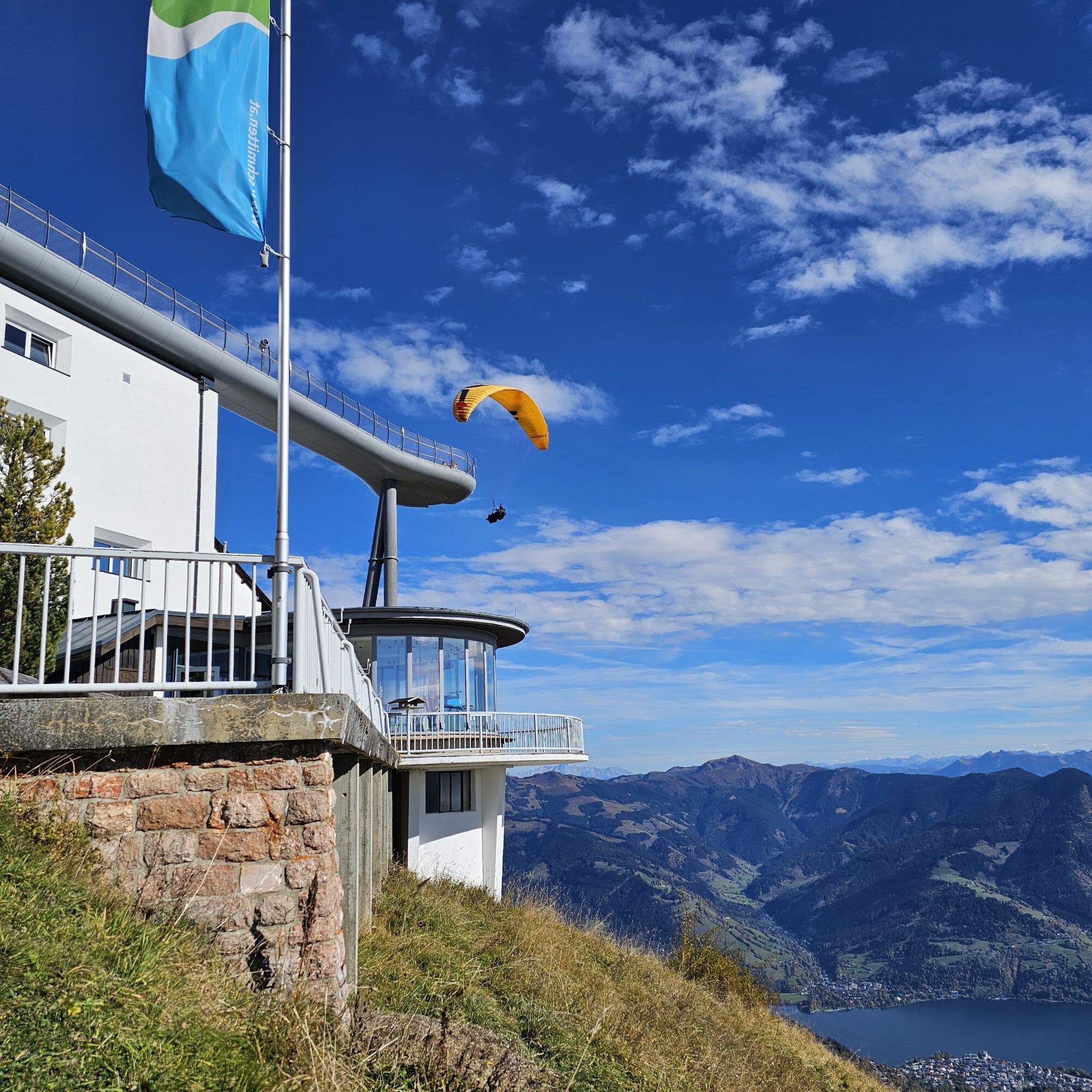
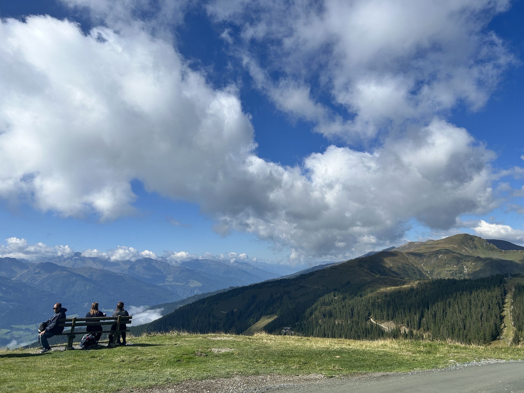
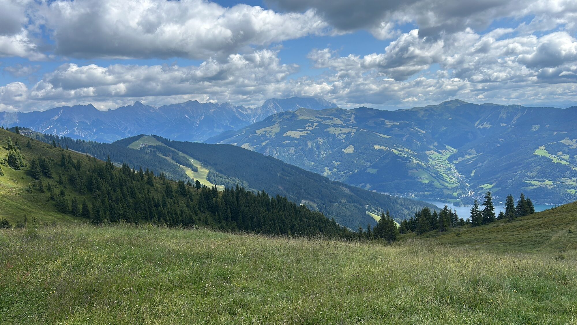
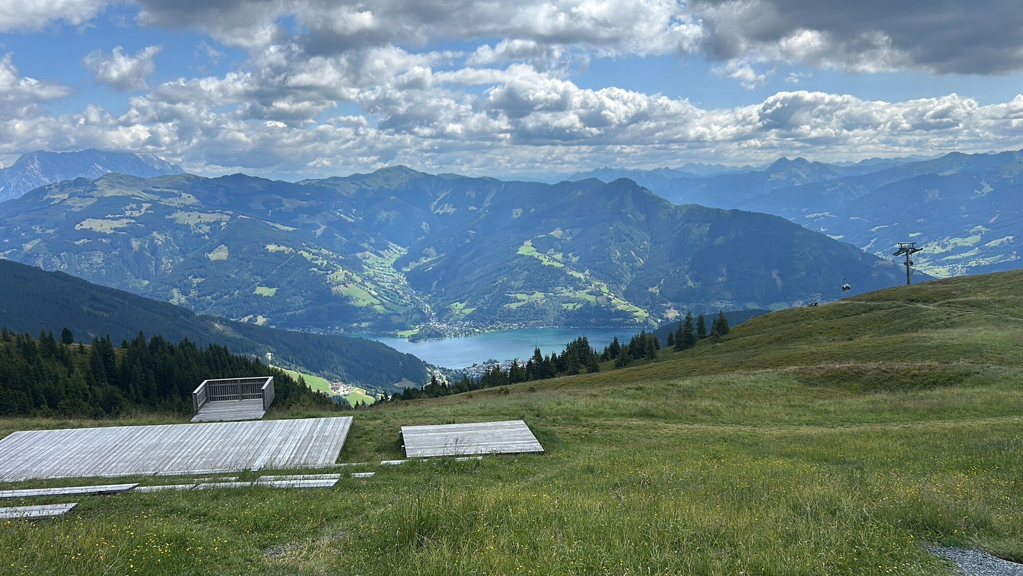
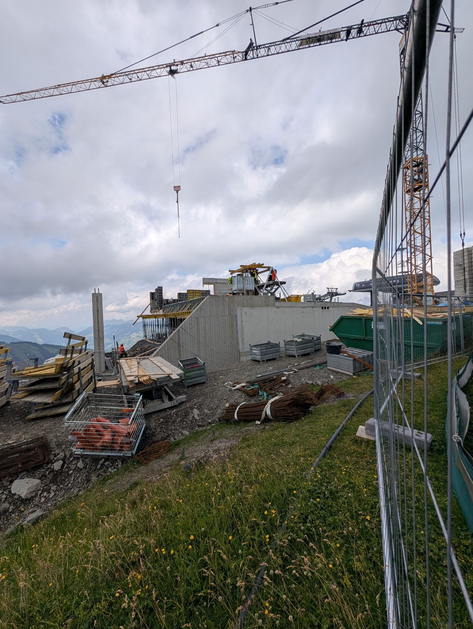
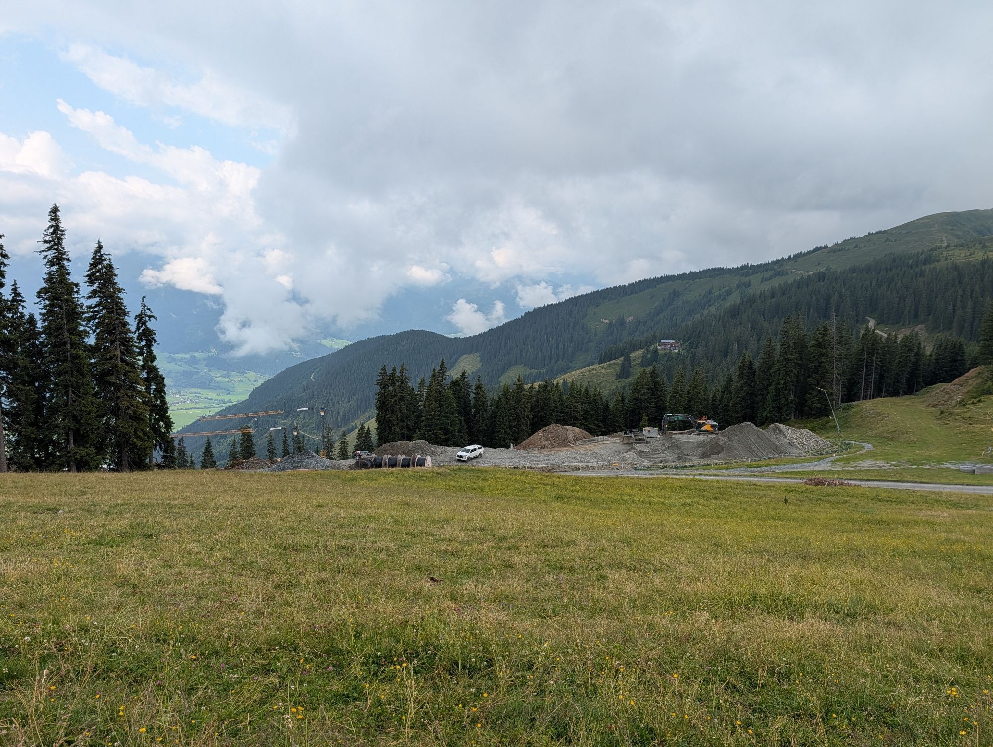
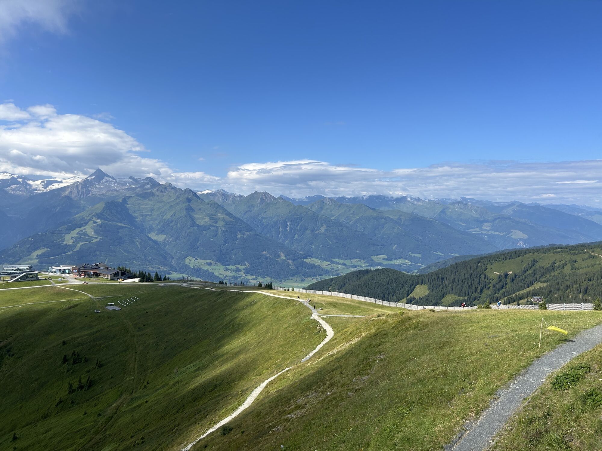
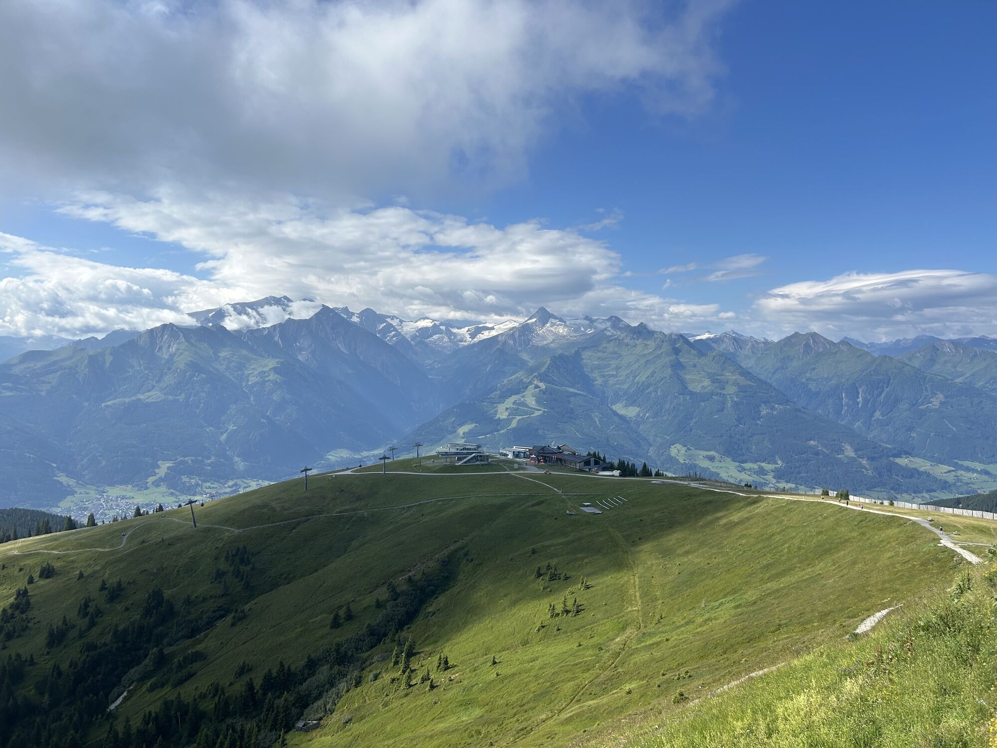
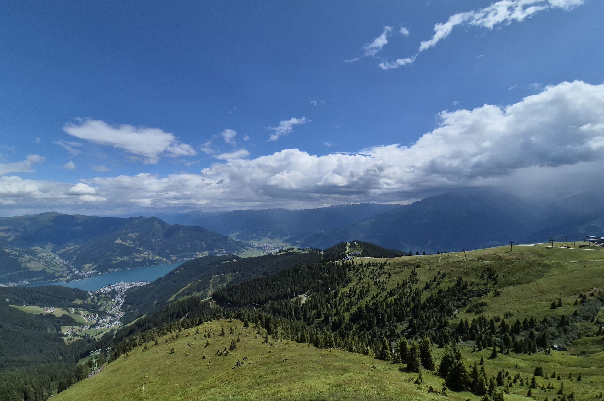
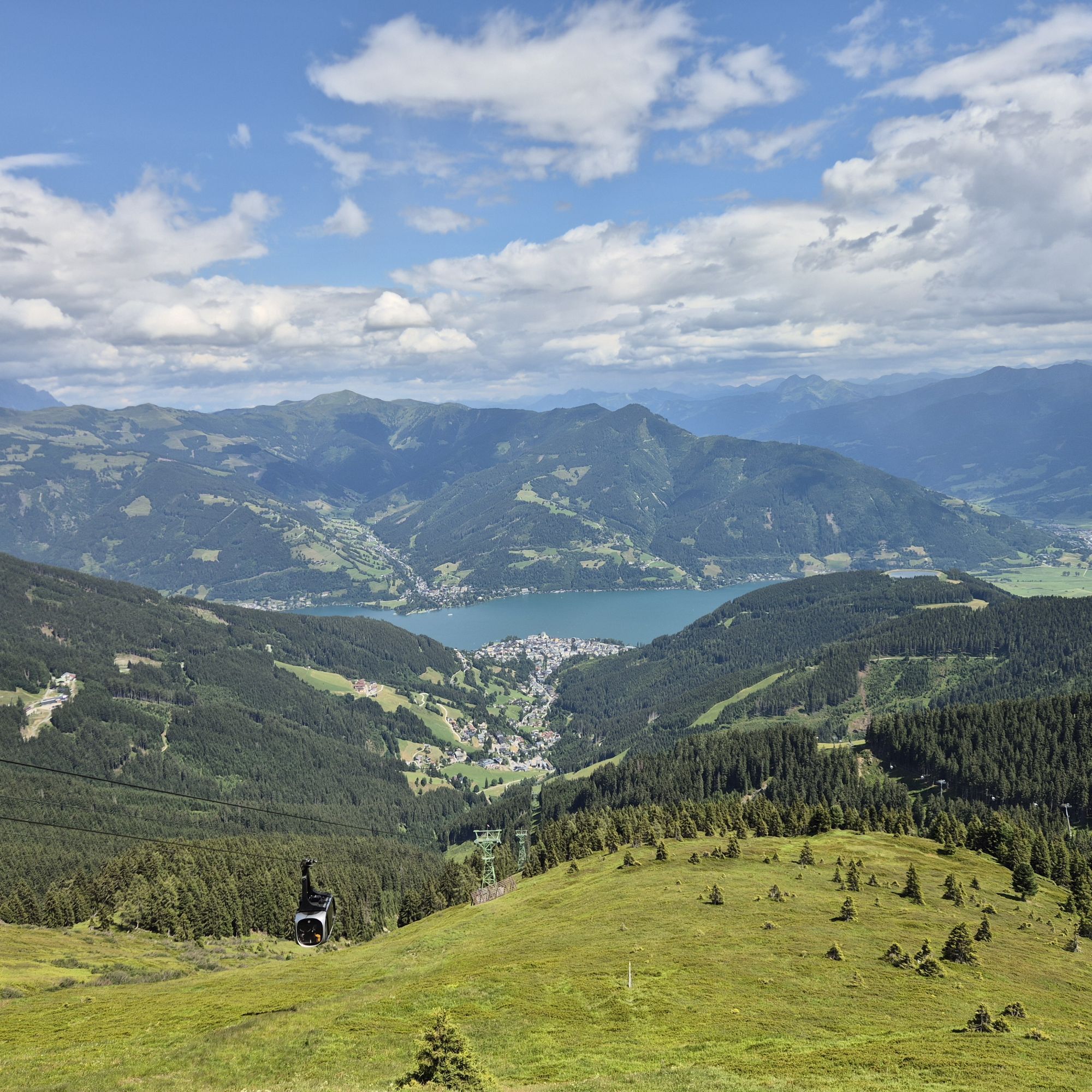
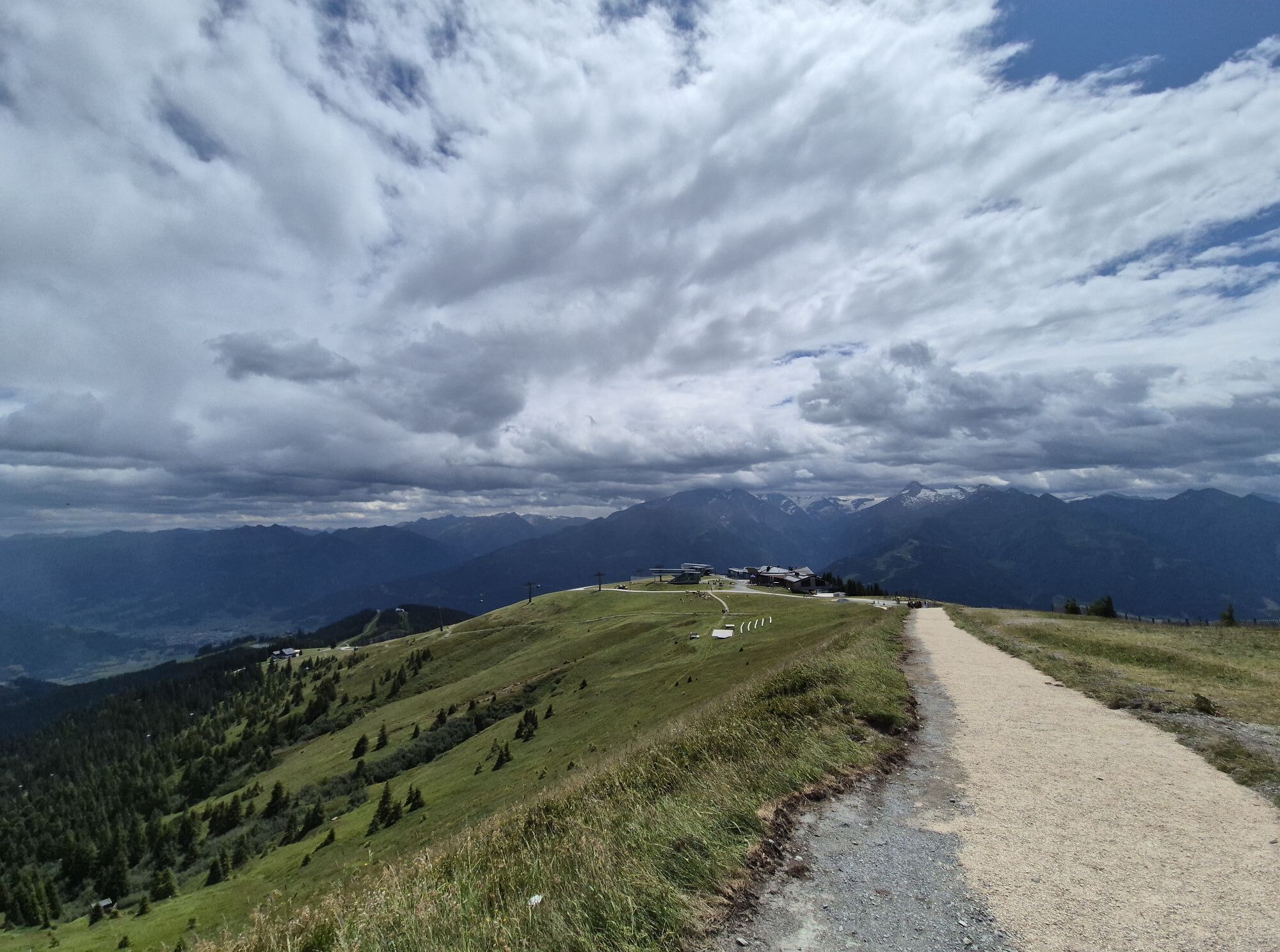
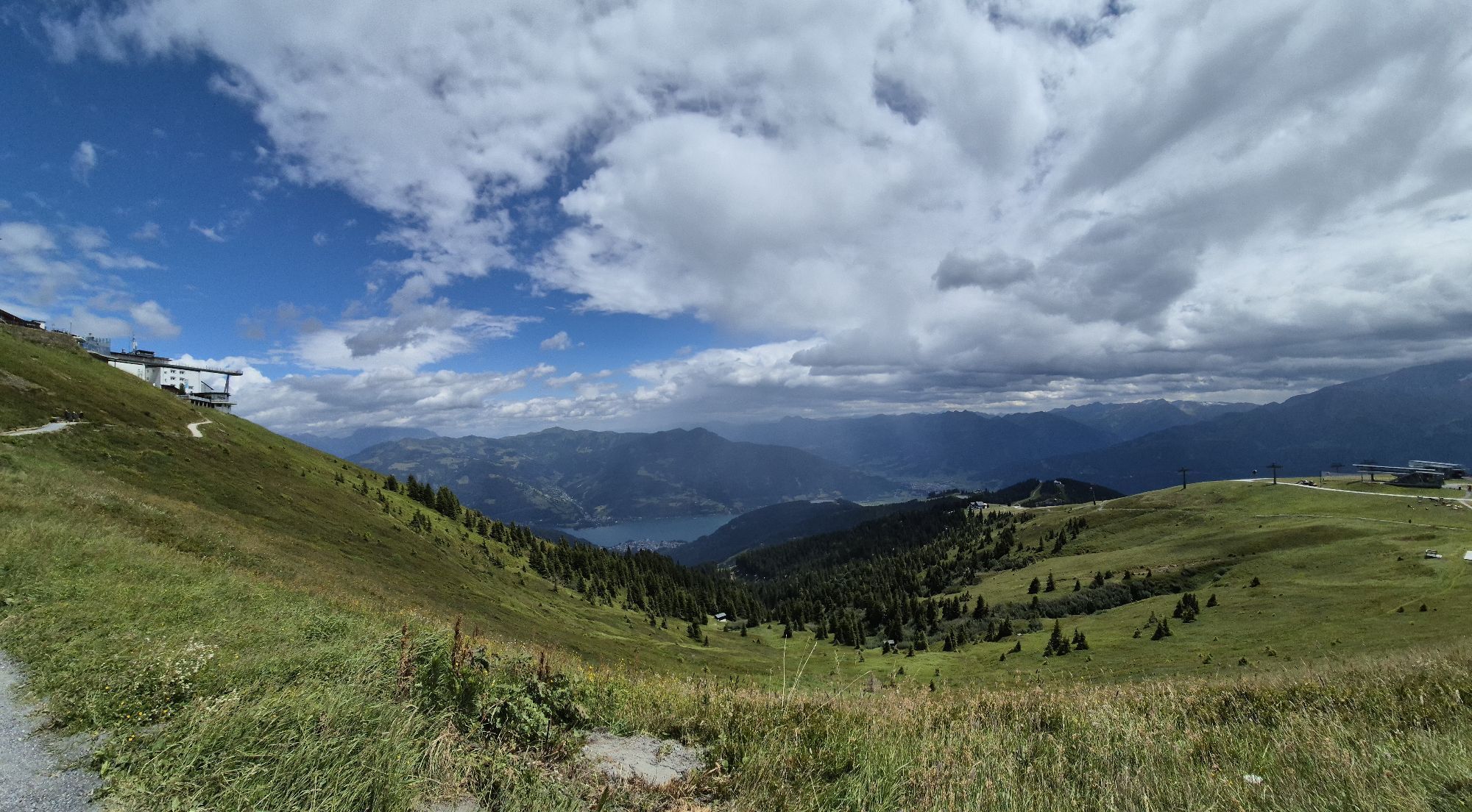
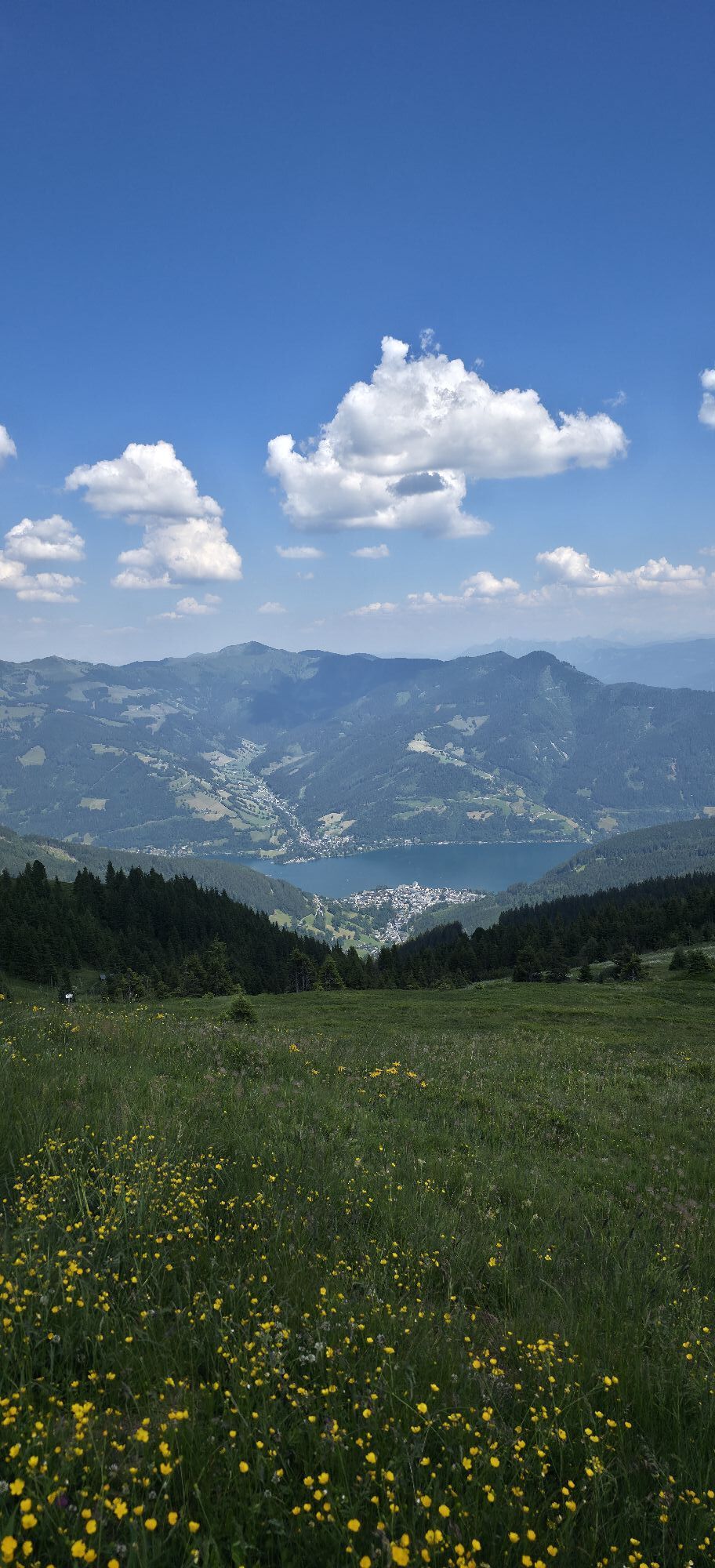
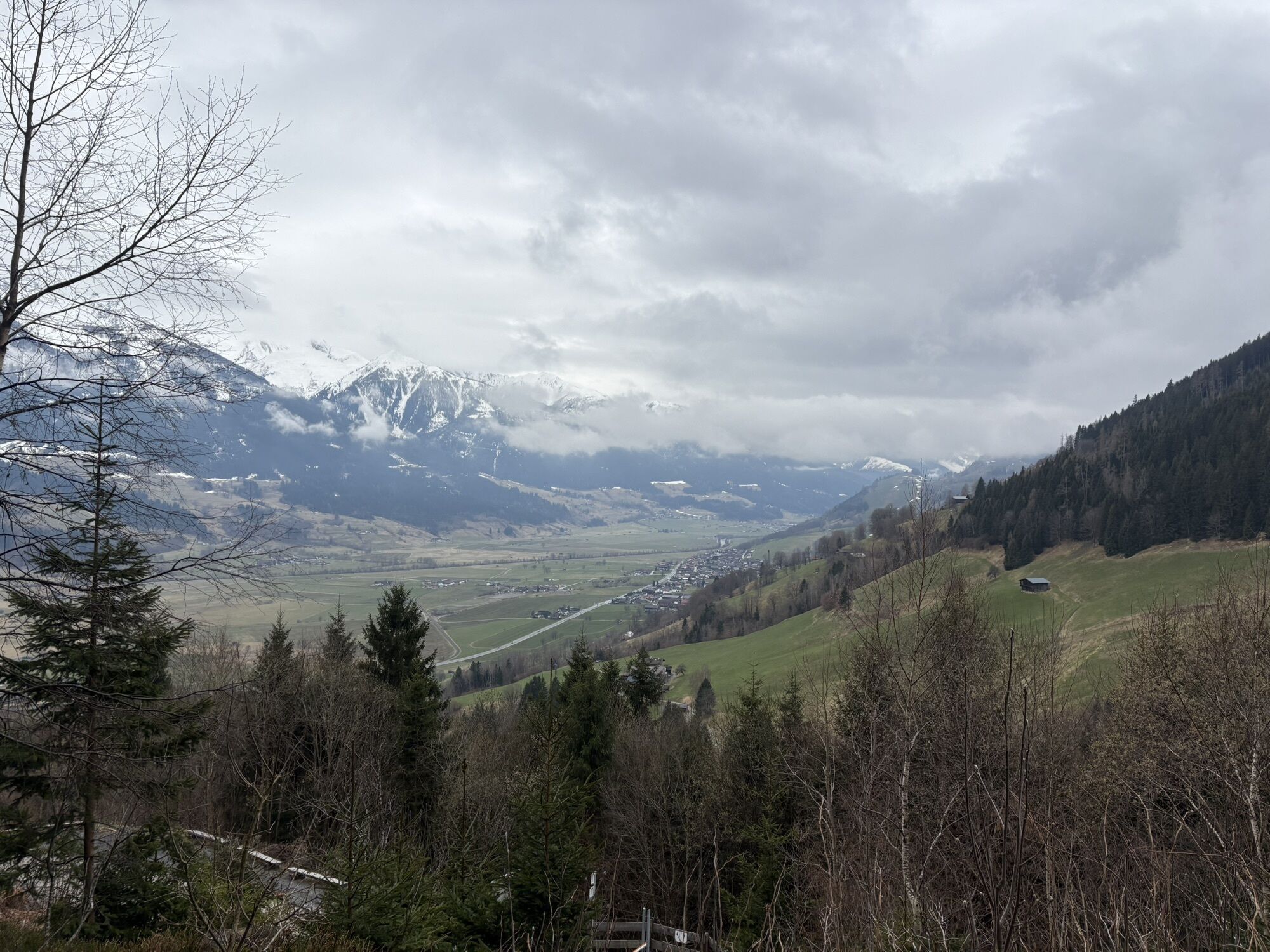
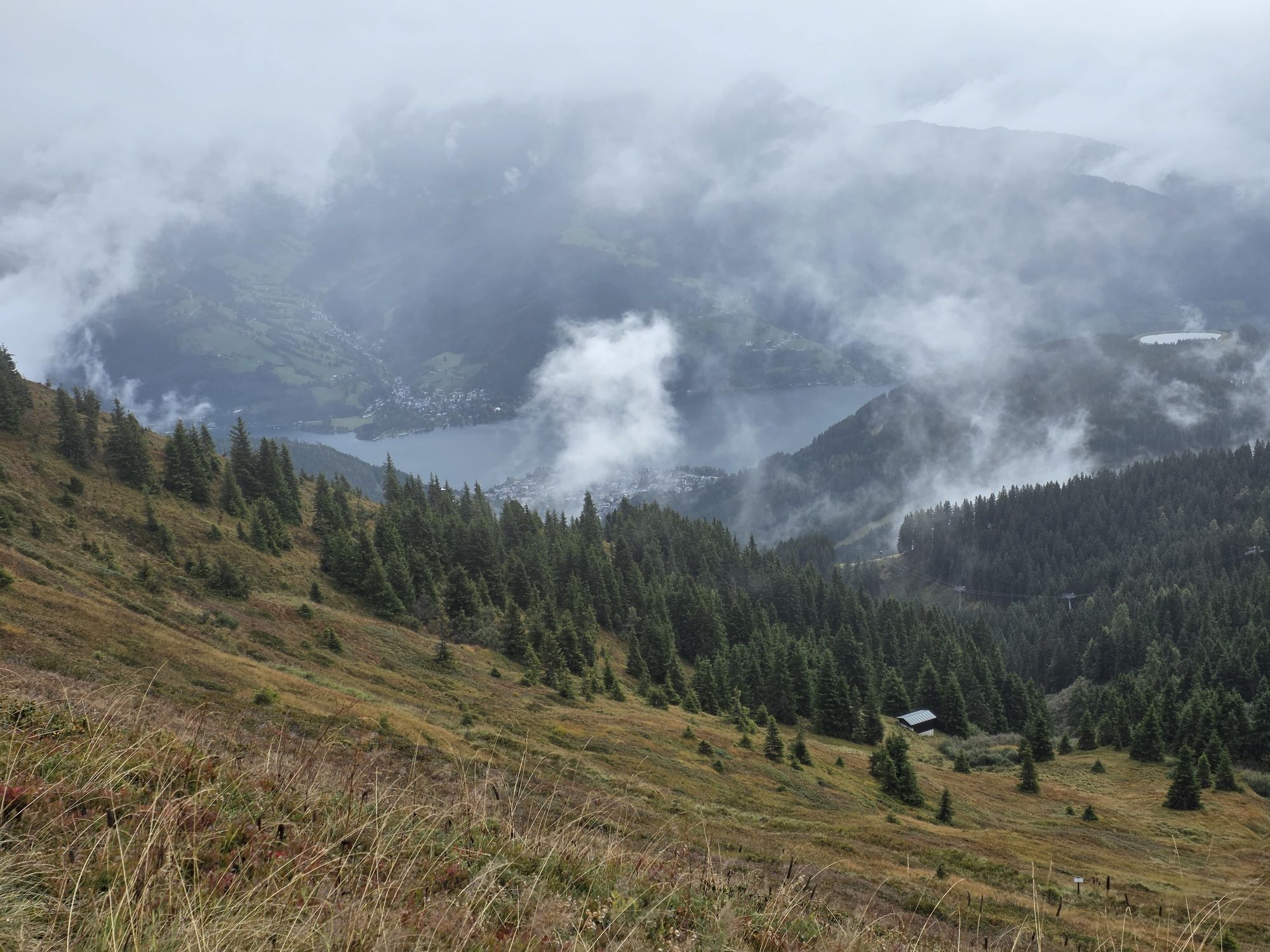
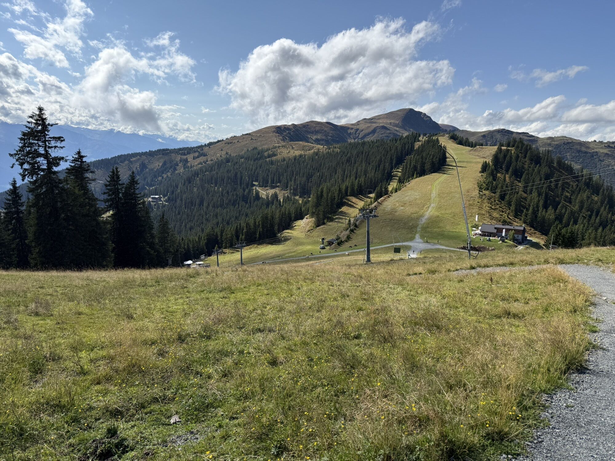
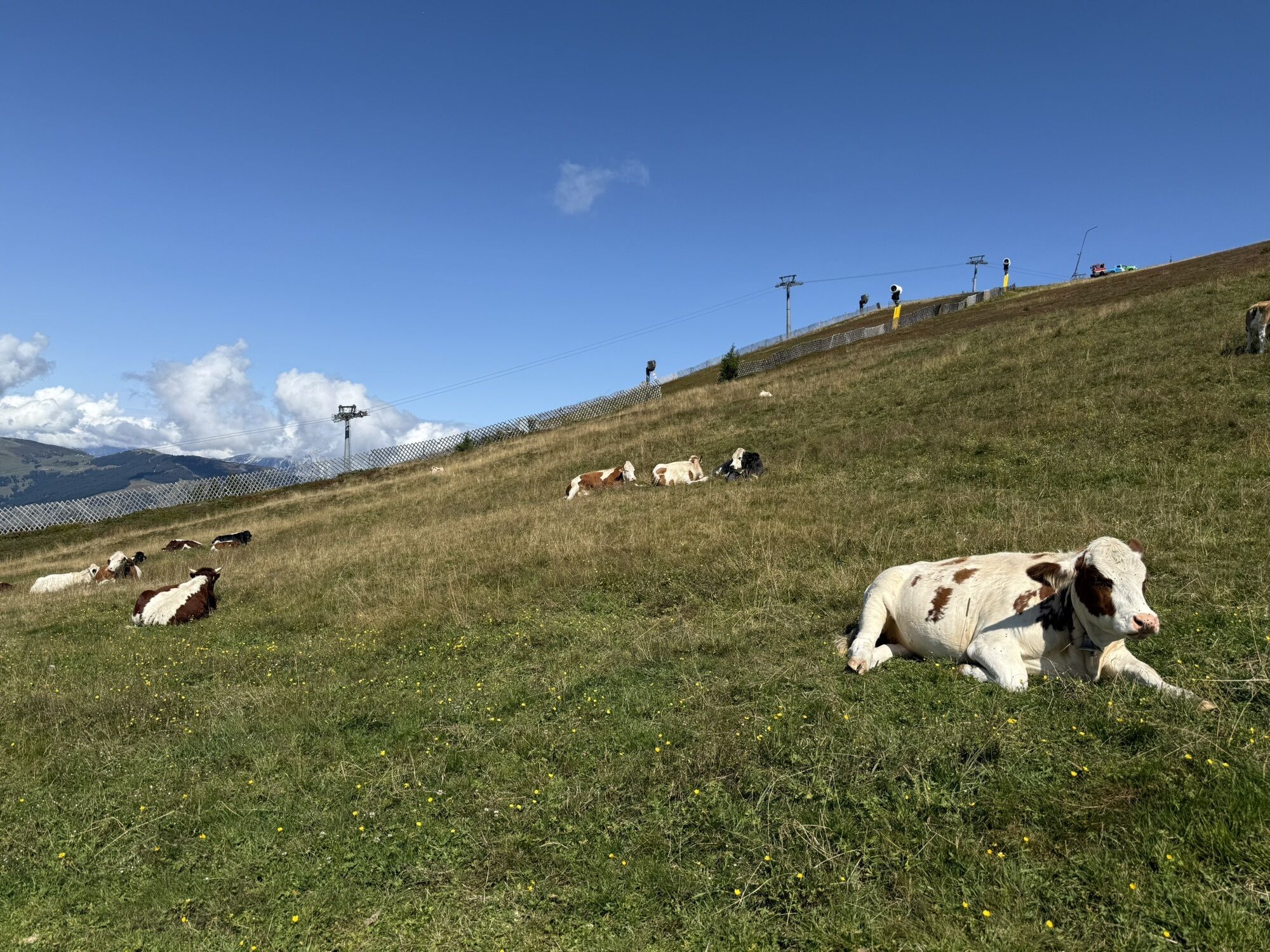
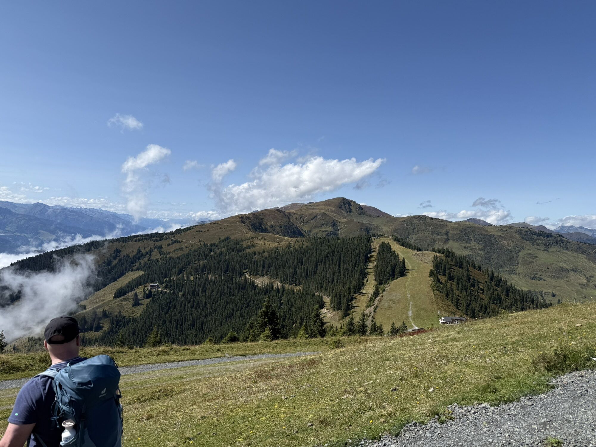
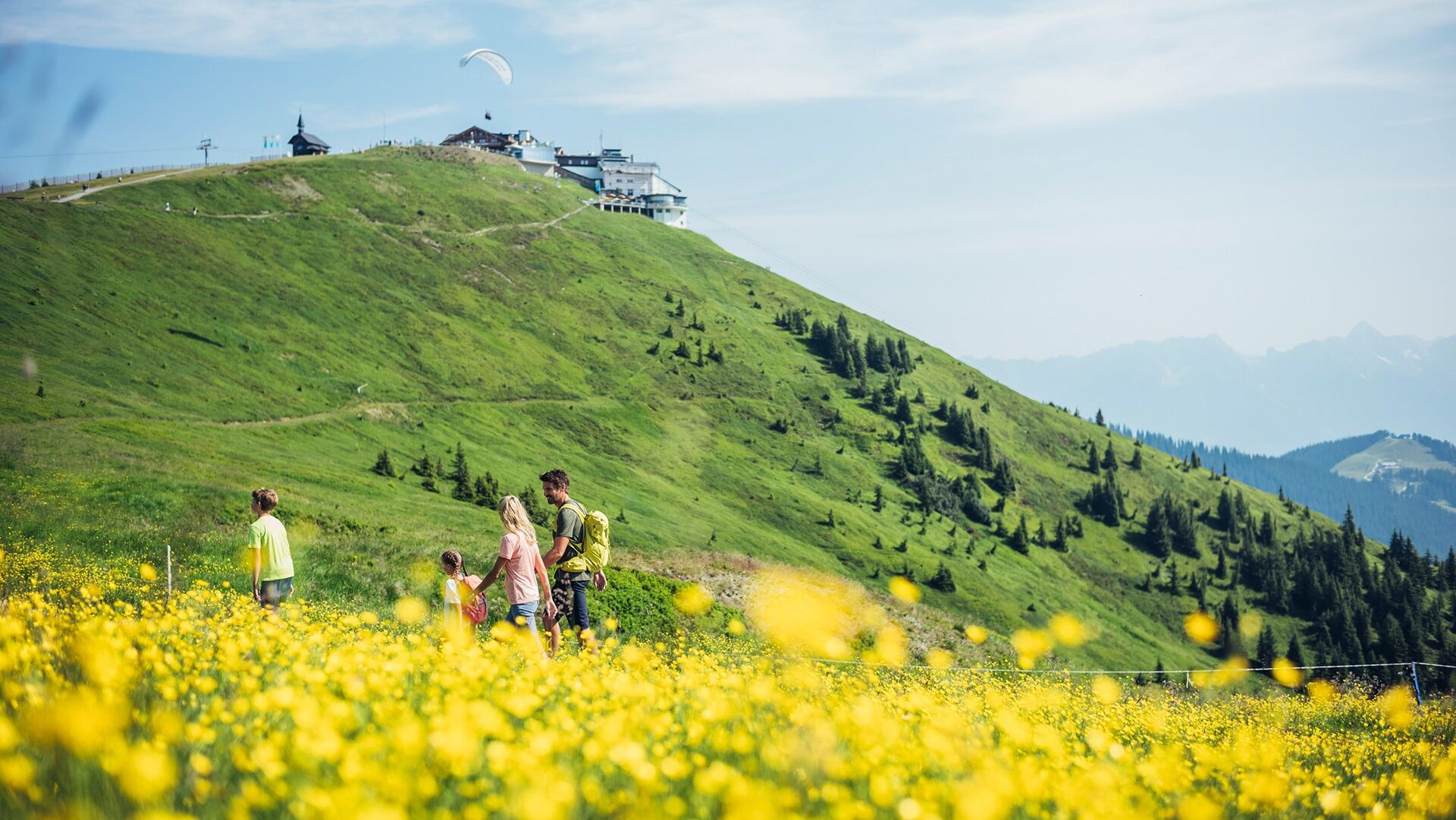
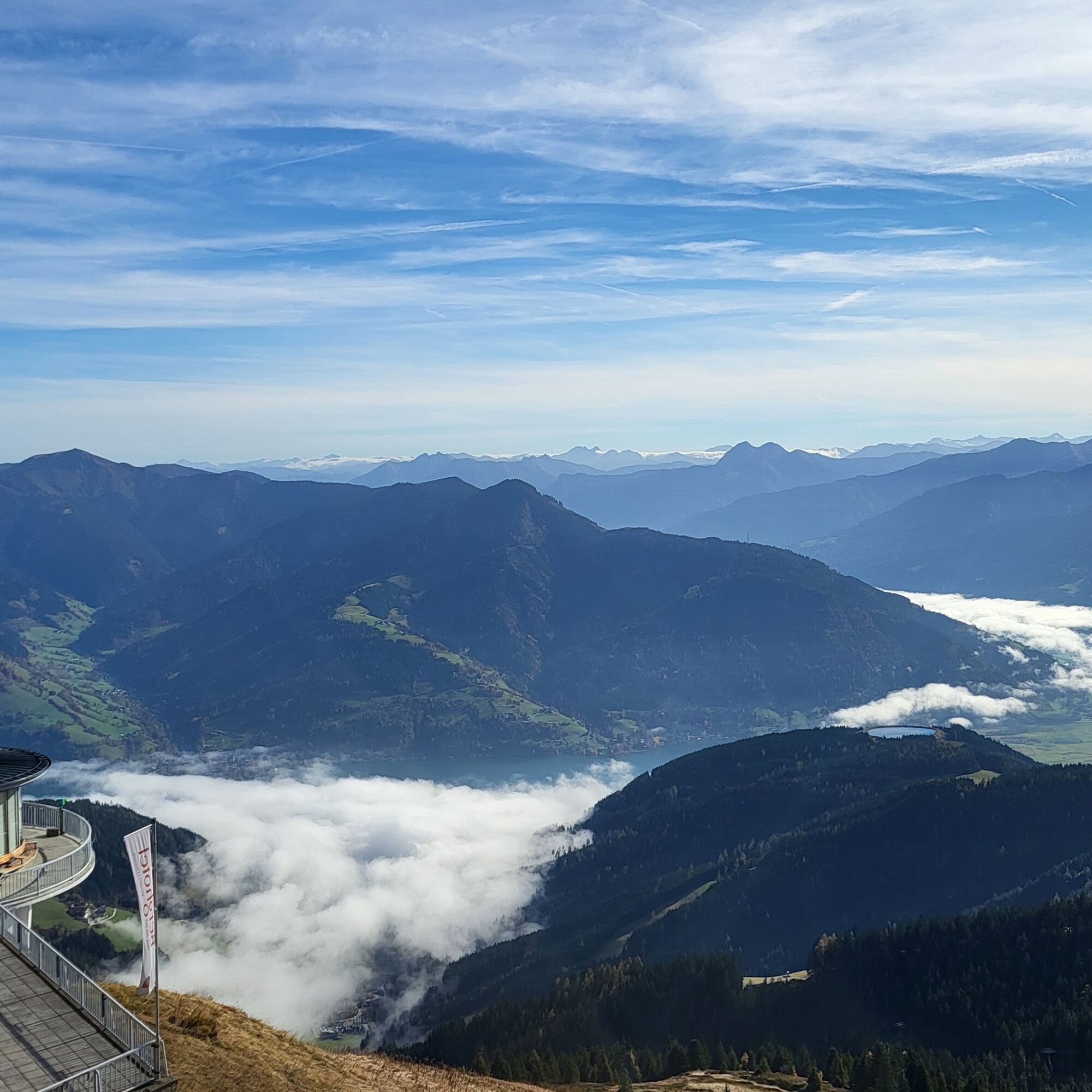
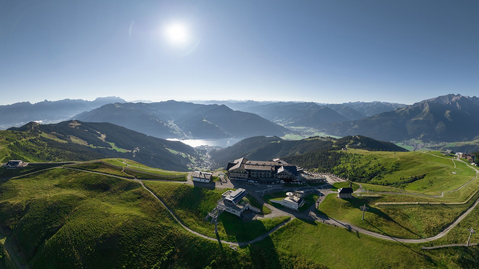
The route leads through diverse landscapes - from the sunny side of the village through forest passages to picturesque alpine pasture areas, it offers a variety of natural beauties. The highlight is undoubtedly the Schmittenhöhe itself, the local mountain of Zell, which offers a 360° panoramic view and is considered Austria's most beautiful viewing mountain. During the route, you will also encounter a small challenge, the push section between Eder Hut and Franzl.


From the town center, follow the road north to the fork above the church. Turn right and continue uphill at Wengerberg to the barrier. Switch to the forest road and cycle uphill to the junction "Pinzgauer Hut." Turn right and follow the steeper gravel road - caution! Push section from the Eder Hut! - to Schmittenhöhe.
There are several options for the return trip:
including returning the same way, the route via path no. 10D to Hochsonnberg Alm and further downhill on path no. 10B to Walchen or a comfortable descent with the cable car (for a fee)Tak
Important notice! Push section between Eder Hut and Franzl!
Use of the marked and approved routes/trails is permitted from May 1 to November 15 and only at the following times:
May 1 to August 31 from 7:00 am to 7:00 pm in September from 8:00 am to 6:00 pm October 1 to November 15 from 9:00 am to 5:00 pmStay on the marked routes!
The common rules of conduct ensure that the forest and pastures will continue to offer a unique recreational and living space as well as a workplace for everyone.
Your behavior influences public opinion and tolerance.
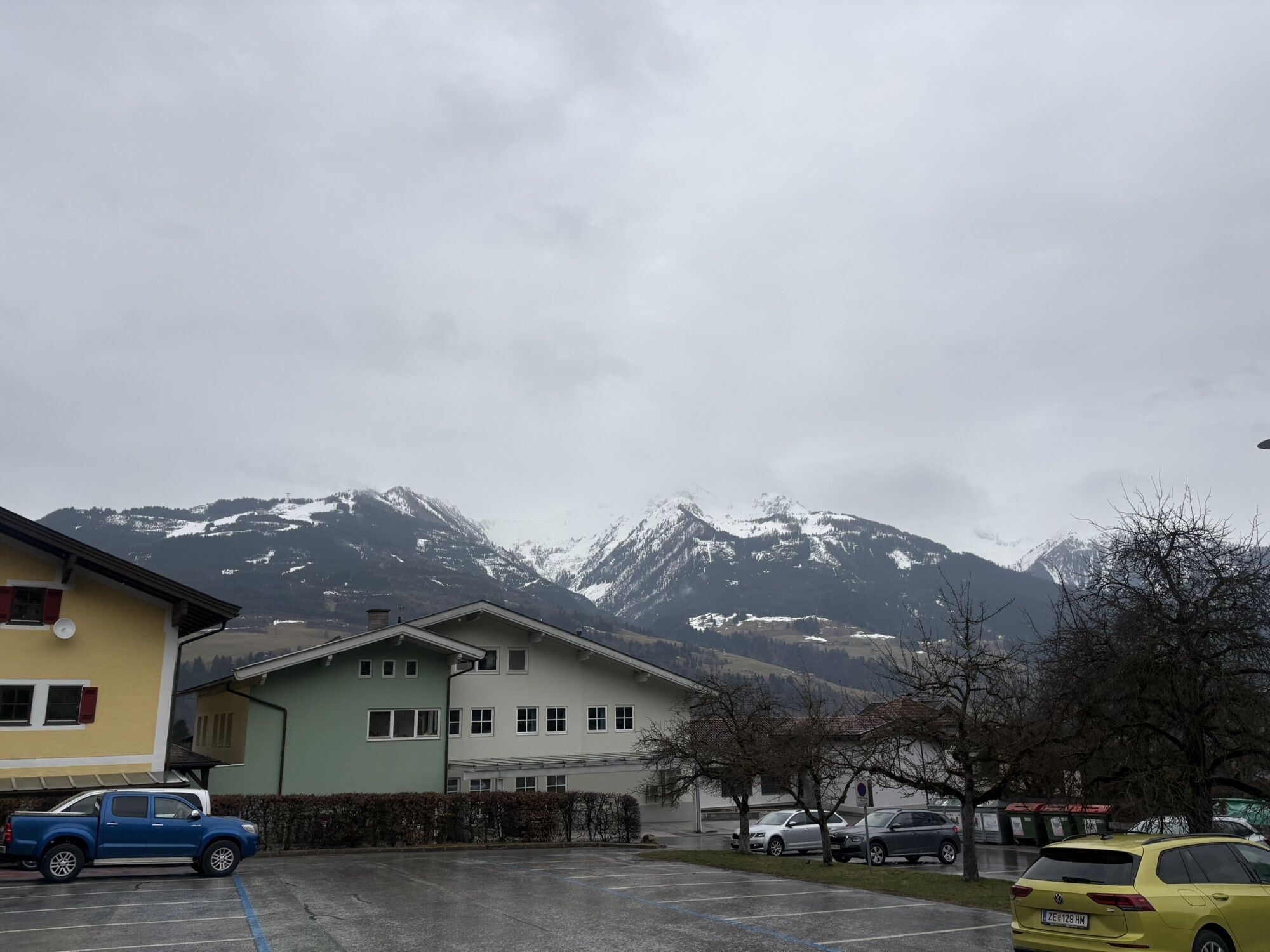
Piesendorf is easily accessible by public transportation - timetable information
In the town center and at the parking lot at the east entrance, sufficient parking is available.
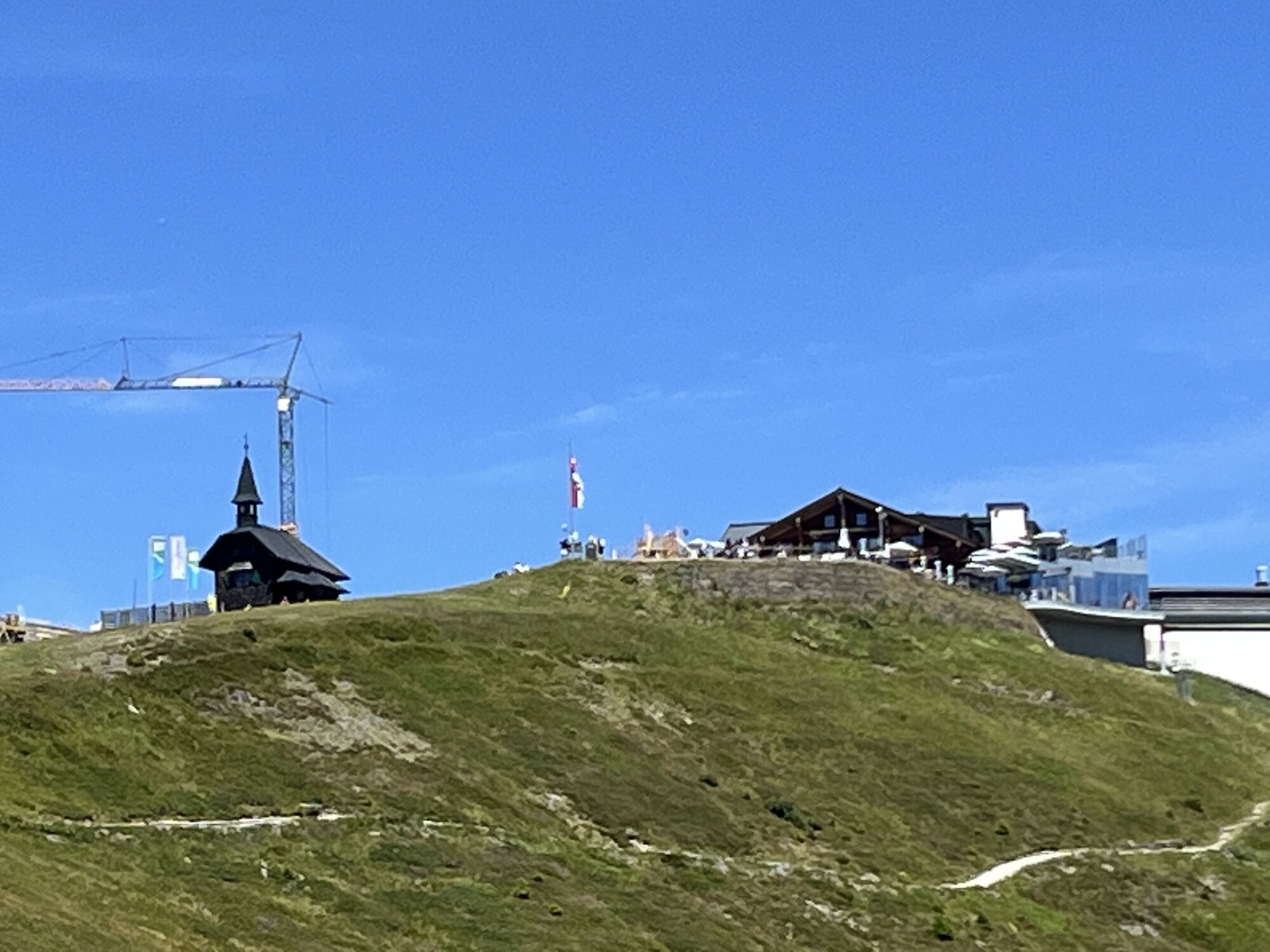
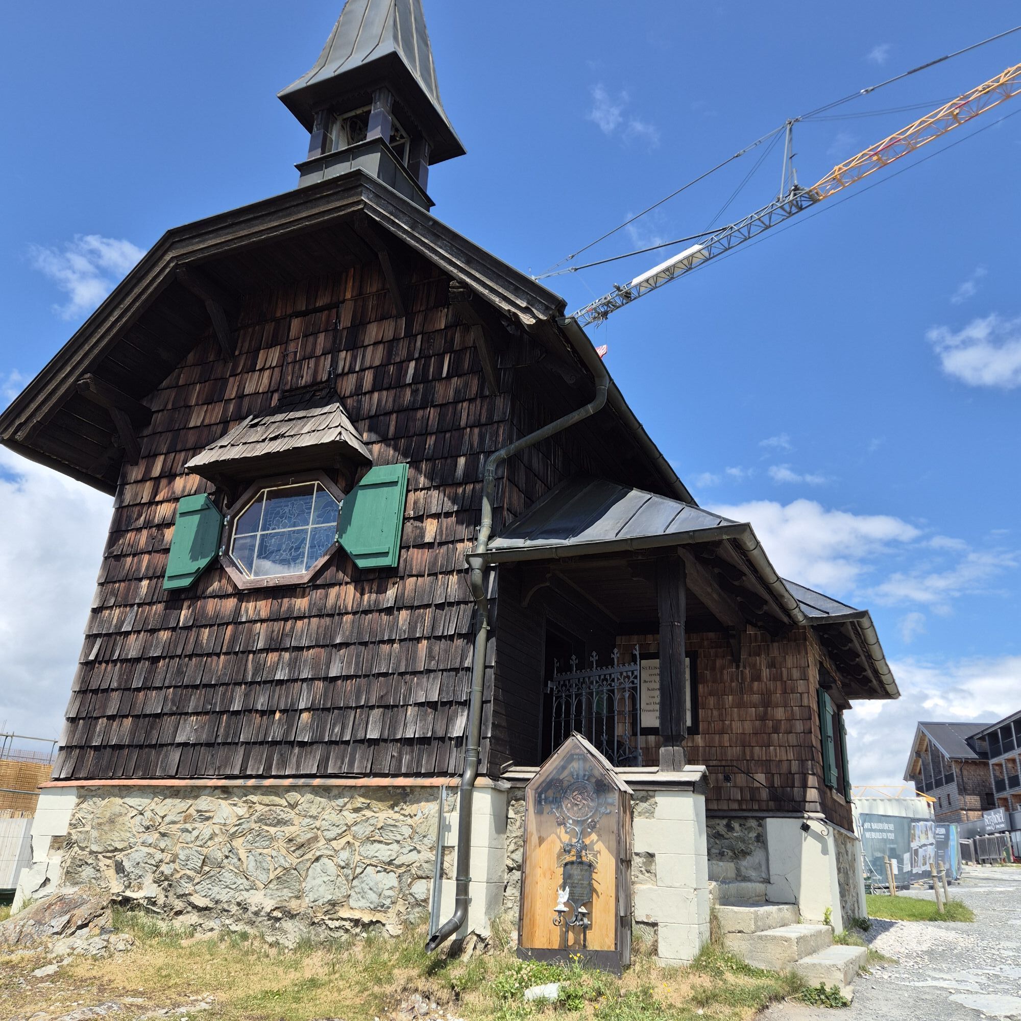
Visit the Elisabeth Chapel, built in honor of Empress Elisabeth. Along the route, there are also several cozy places to stop for a break.



Kamery internetowe z trasy



Popularne wycieczki w okolicy
-
4,4
Schwalbenwand Nr. 80, 81, 82
średniWędrówka 13,0 km -
4,3
Maurerkogel (Top)
Wędrówka 10,5 km -
4,7
Panorama route 3 peaks and 2 lakes
średniWędrówka 7,21 km -
5,0
Leo’s play hiking trail
światłoTrasa tematyczna 4,89 km -
4,6
Sigmund Thun Klamm, Klammsee, Bürgkogel
światłoWędrówka 4,56 km -
4,6
Thumersbach, Runde um den Zeller See
światłoWędrówka 13,3 km -
4,1
Berg der Sinne
światłoWędrówka 4,39 km -
4,7
Fusch: Gleiwitzer Hütte
ciężkiWędrówka 8,26 km -
4,5
Areitweg - Plettsauerkopf - Rundwanderung
średniWędrówka 11,8 km -
4,9
Hochsonnberg Runde
średniMountainbike 59,8 km
Wędrówki i tropienie


Nie przegap ofert i inspiracji na następne wakacje
Twój adres e-mail została dodana do listy mailingowej.


