






Platten route (SW63)
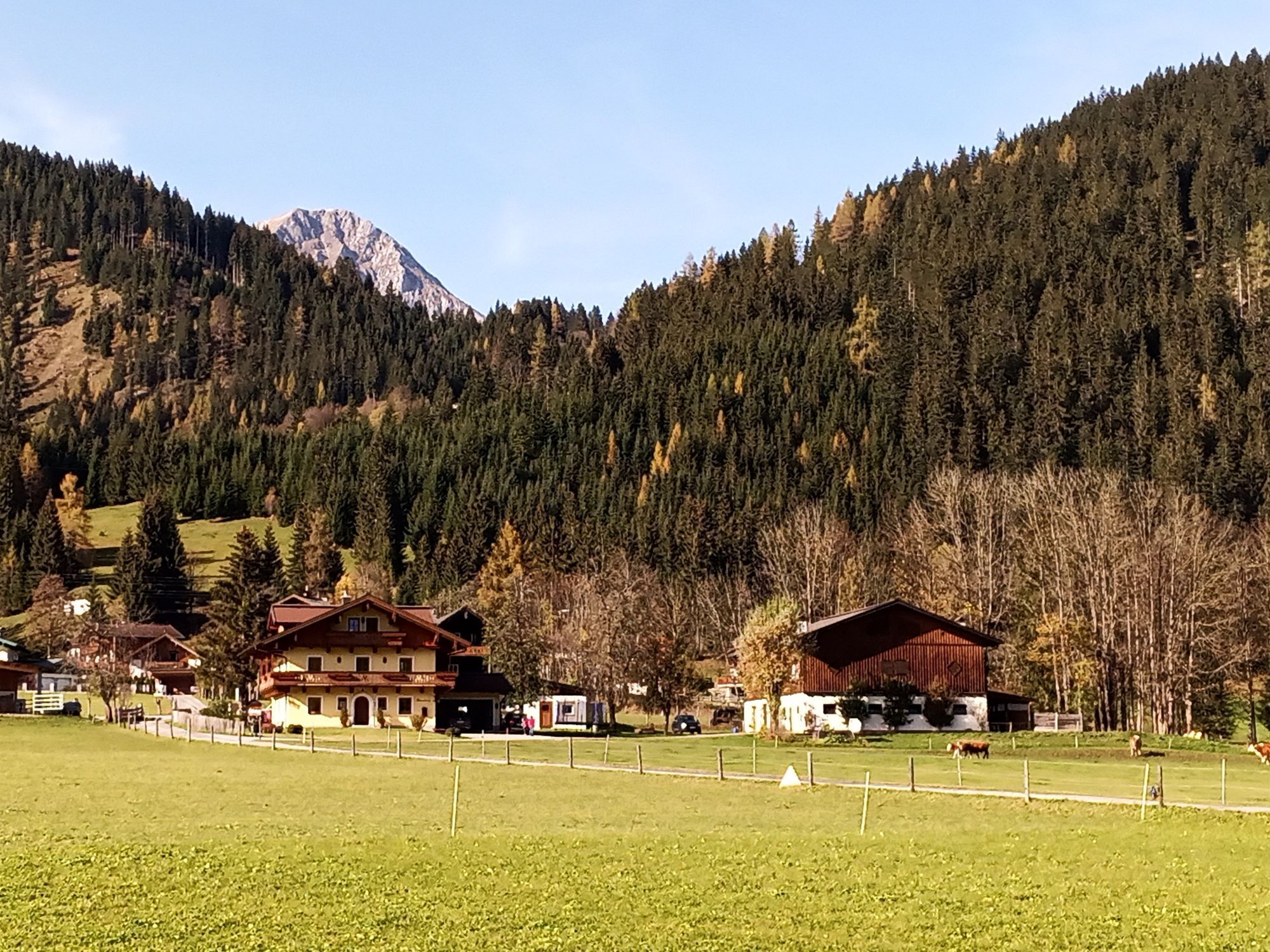
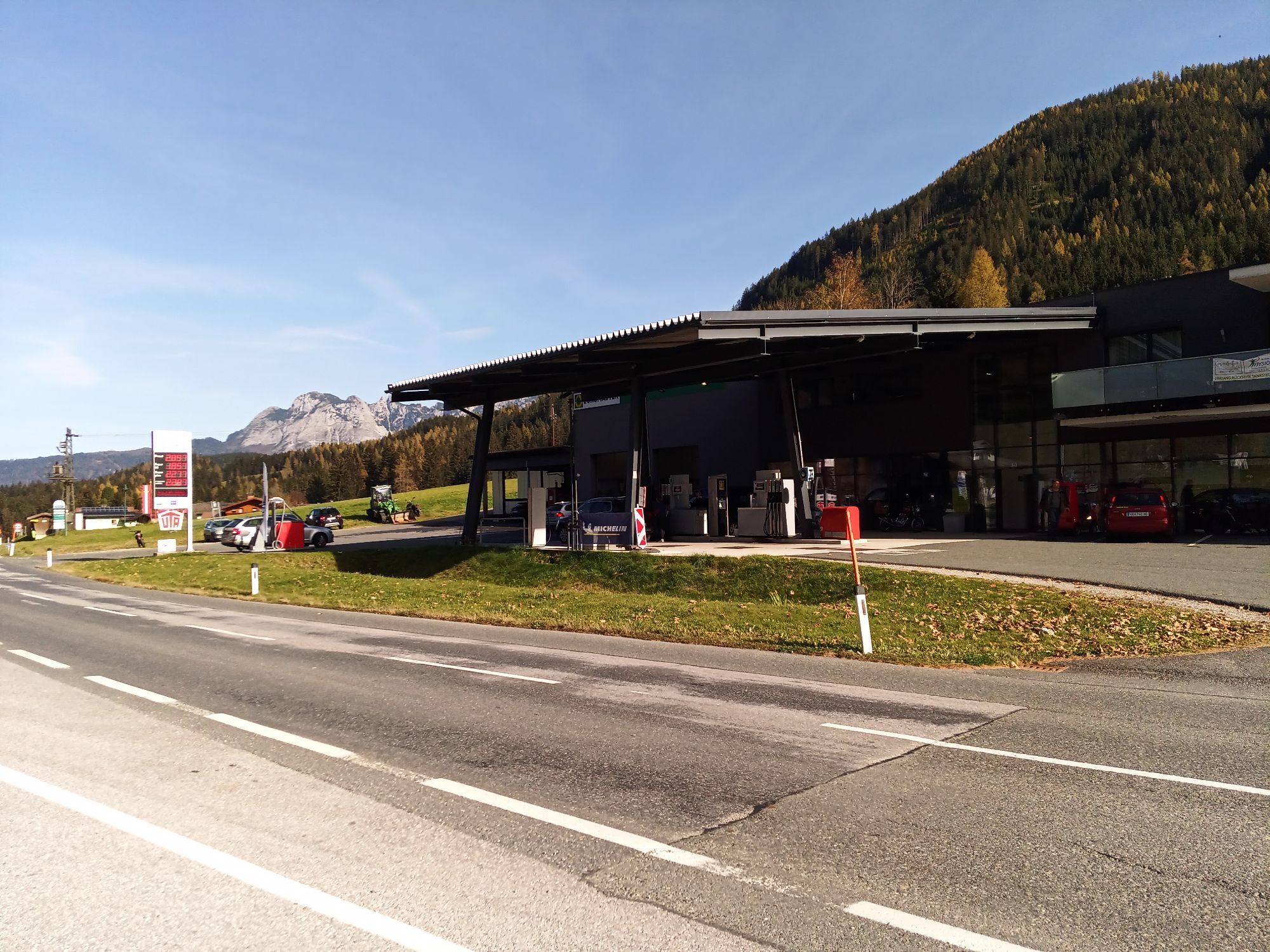
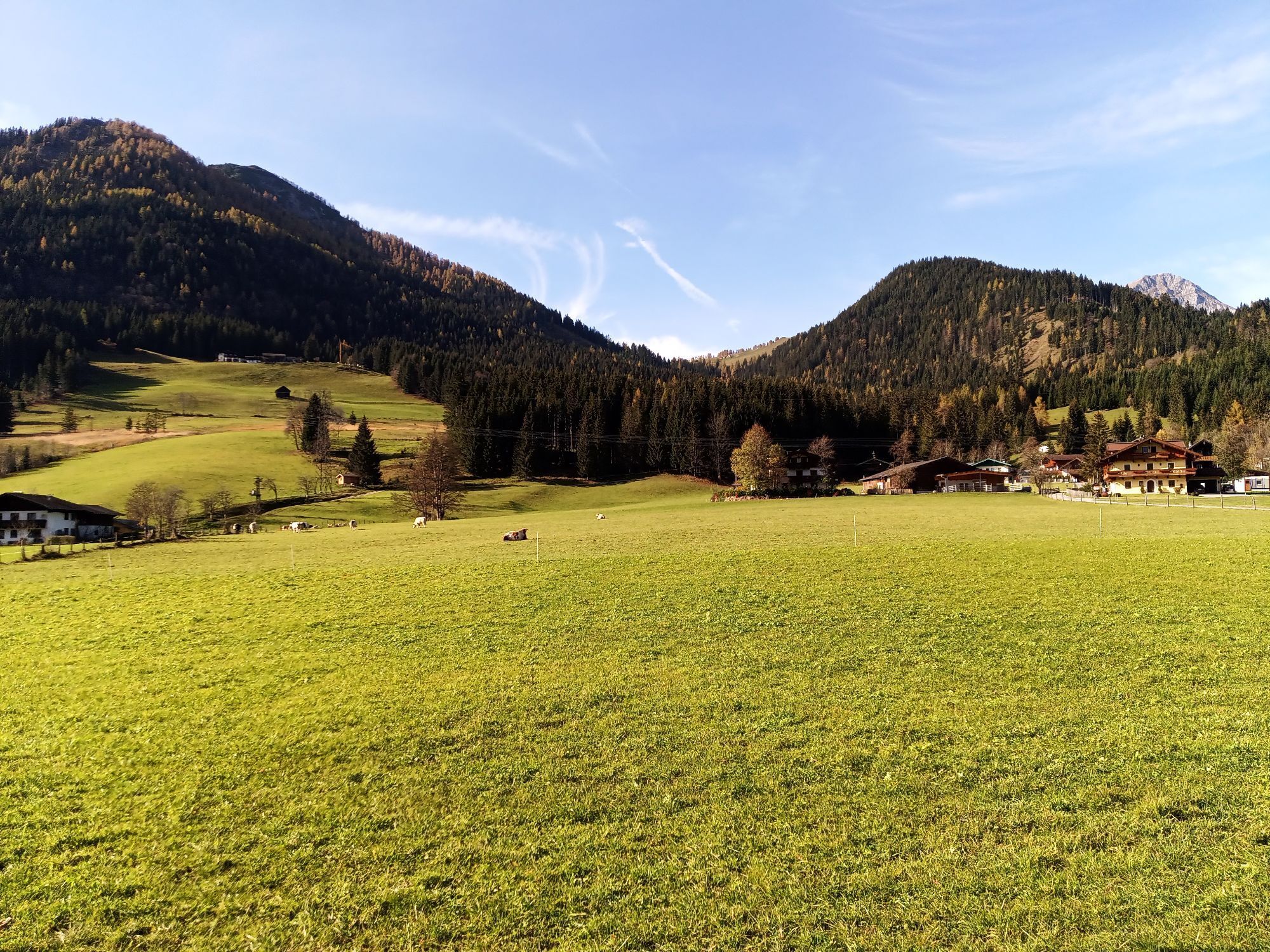
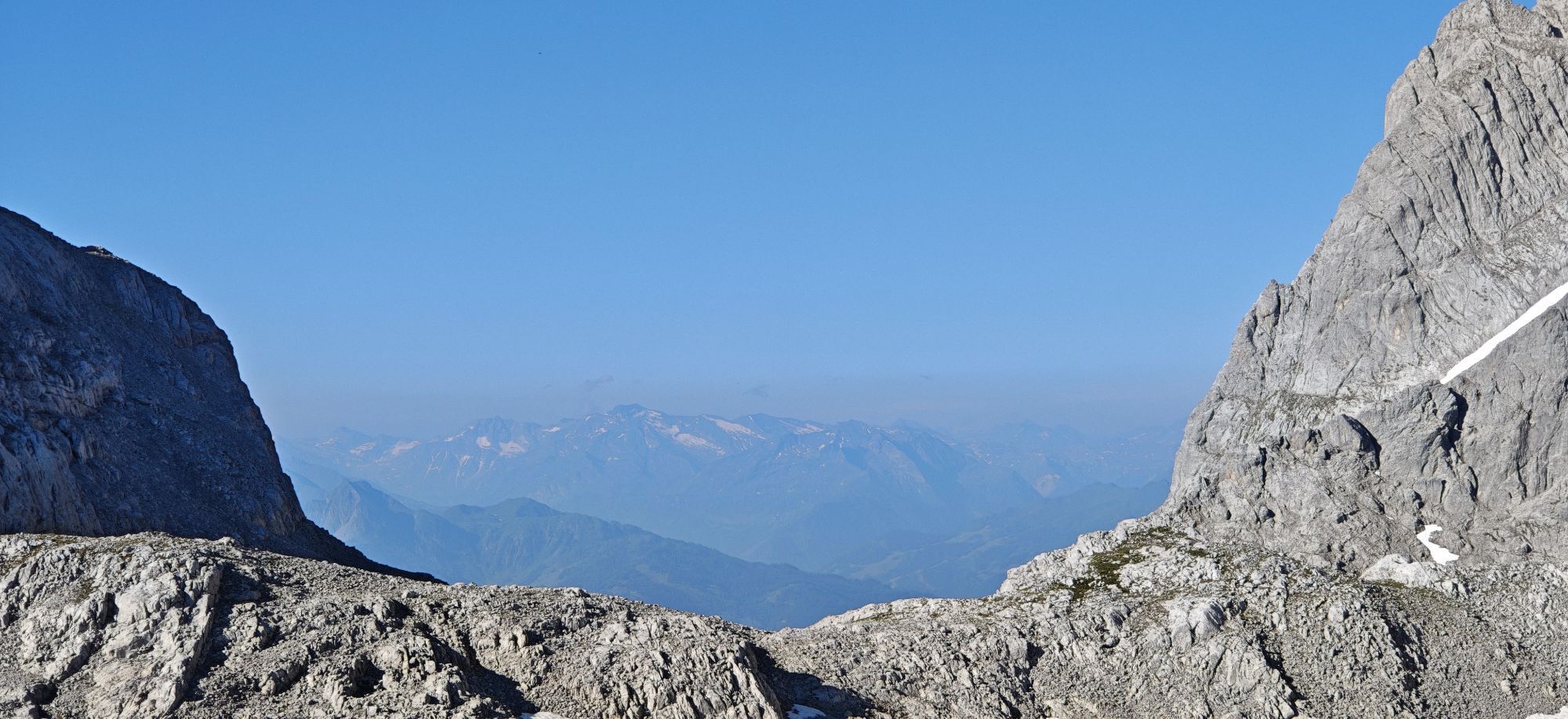
The Platten route leads from Eben over forest roads to the neighboring town of St. Martin. From there, it goes past the Halmgut snack station, over the Eben district Gasthofberg, and back to Eben.

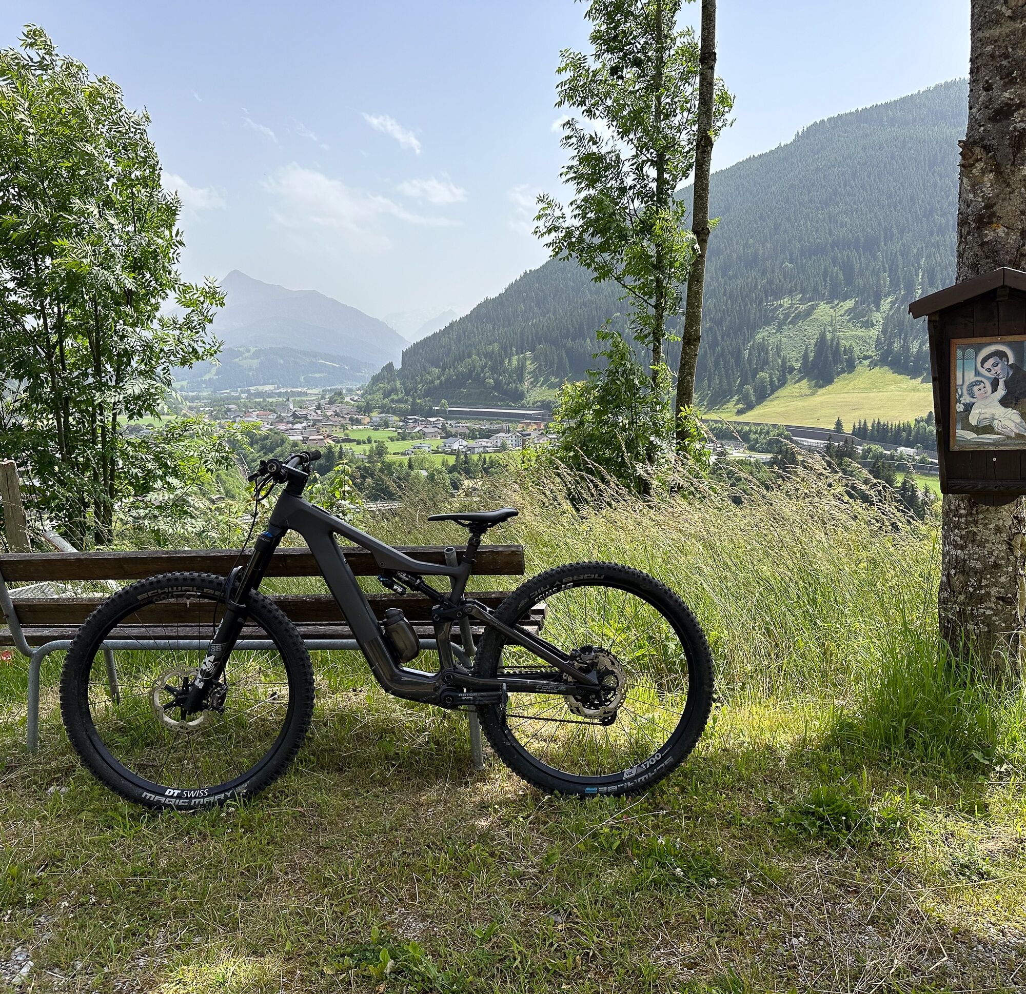
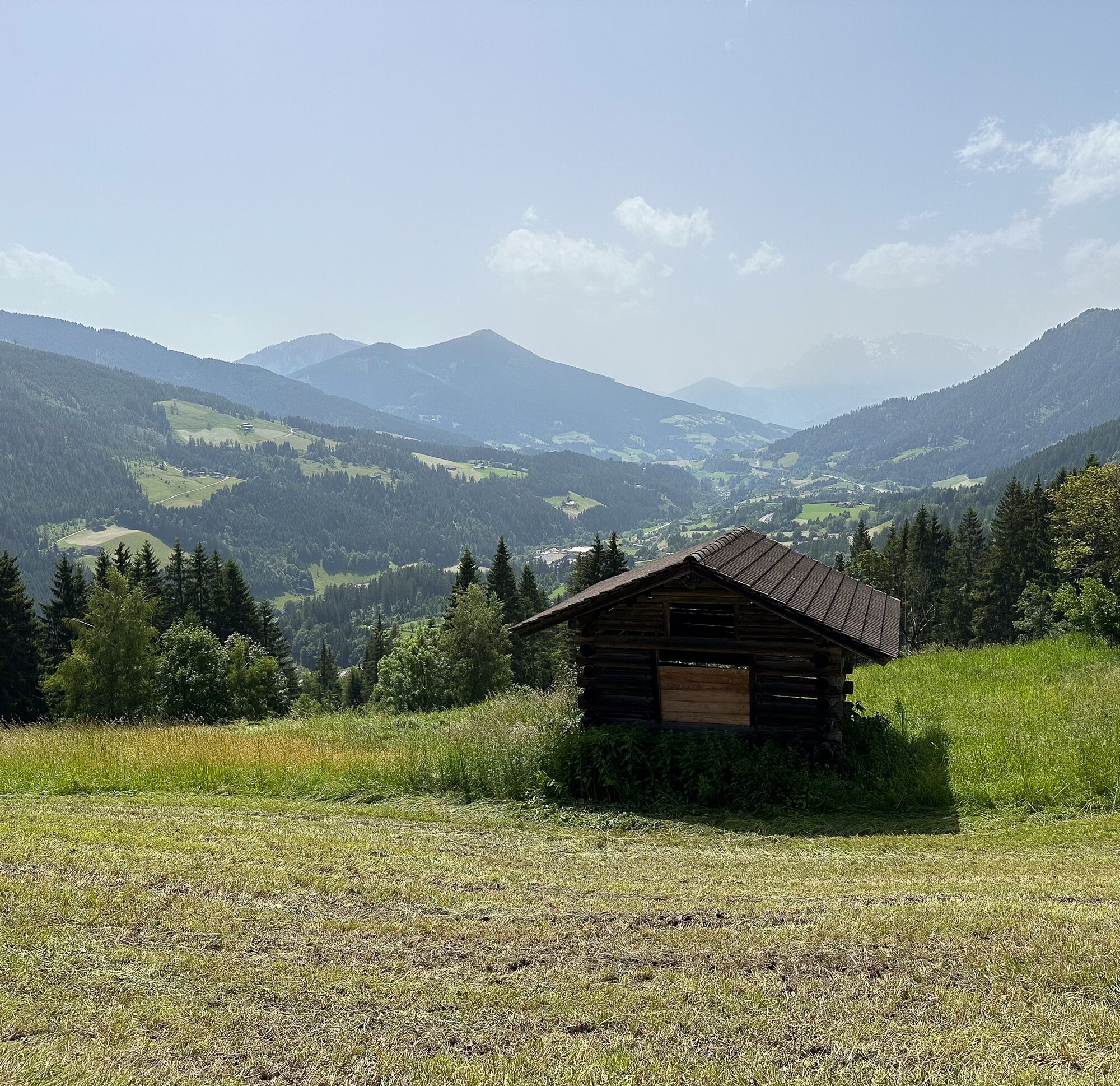
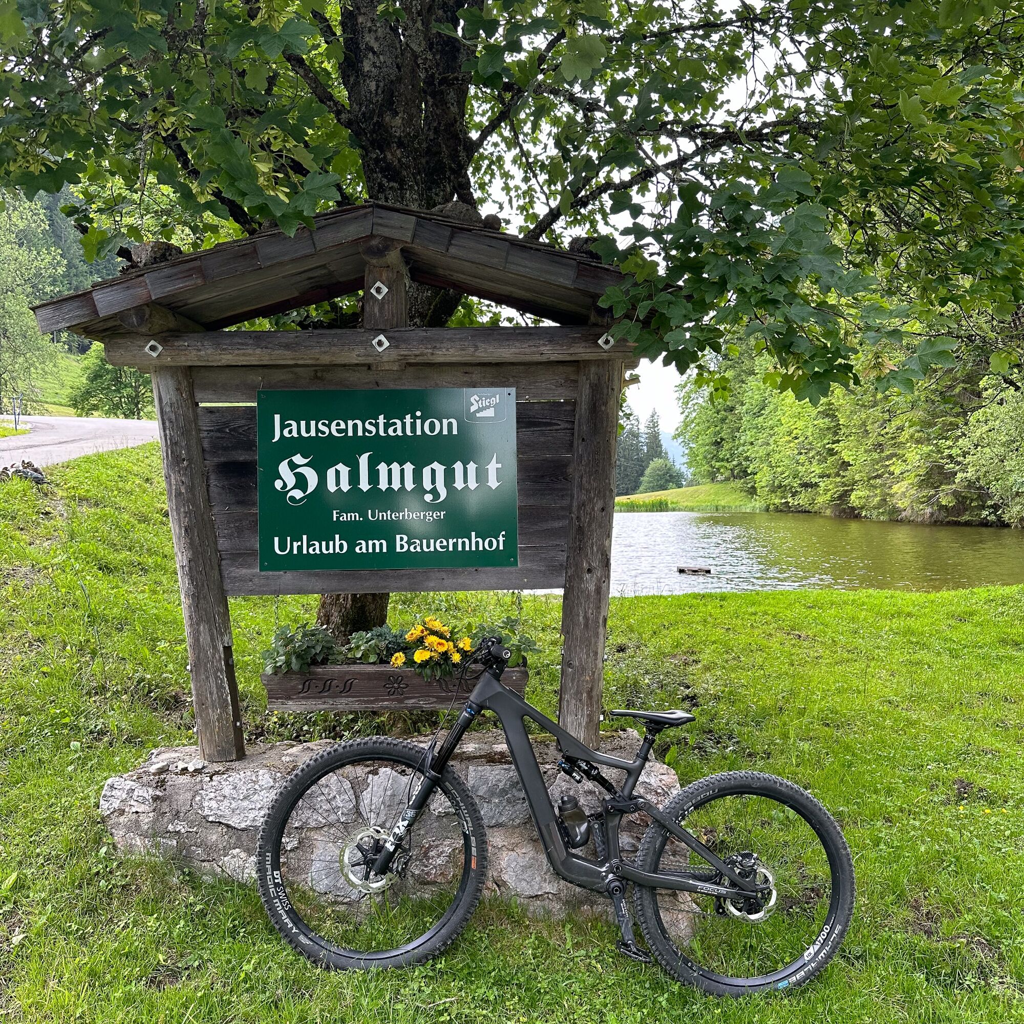
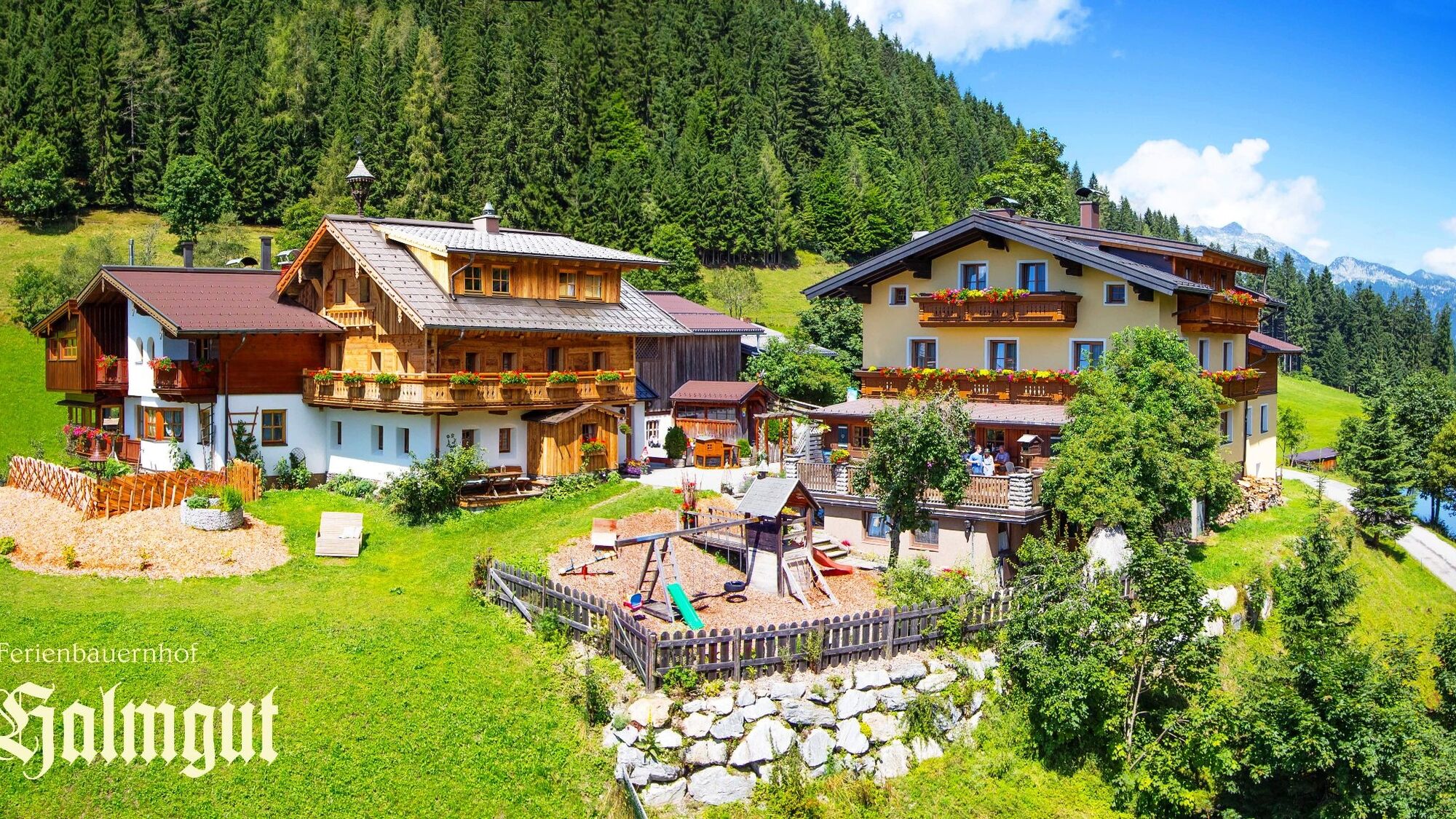

We start at the monte popolo lift parking lot heading towards the town center. Before the railroad crossing, keep right and follow Pöttlergasse. Then keep parallel to the avenue and follow the road to Filzmooser Landesstraße L219. Turn right here and follow the road to the Stauchweg junction where we turn left. Follow the signage on Stauchweg and switch to Lerchenweg. Follow Lerchenweg to Pass Gschütt Straße B166 and turn left there. Follow the road through St. Martin am Tennengebirge and then turn left onto Oberbachstraße (before MPREIS). Follow Oberbachstraße and continue towards the Halmgut snack station. From there, go down from the Eben district Gasthofberg into the valley to Fritzbach. Turn left here and follow the path to Filzmooser Landesstraße. Turn right there and return to the starting point via the same route.
Use is permitted at your own risk from May 1 to August 31 from 07:00 to 19:00, in September from 08:00 to 18:00, and from October 1 to November 15 from 09:00 to 17:00.
Take exit 60 Eben im Pongau on the A10 Tauern motorway and drive through the town to the monte popolo lift parking lot.
On the B99 (coming from Altenmarkt), turn right about 200 m after the town sign onto the monte popolo lift parking lot.
On the B99 (coming from Hüttau), drive through the town until you reach the monte pololo lift parking lot on the left side.
Train: Eben im Pongau station is about a 10-minute walk from the starting point.
Bus: The Reitlehenbahn bus stop is right at the starting point and is served by lines 270, 510, 521, and 520.
The monte pololo lift parking lot is available free of charge all year round.
The route can also be ridden in the opposite direction.
On an alternative route, you can also circle the Österreichberg.
 Uzyskaj wgląd
Zawsze na żywo z ponad 9 500 kamer internetowych. bergfex Jako użytkownik Pro, możesz teraz zobaczyć odpowiednie kamery internetowe dla wielu wycieczek w aplikacji wycieczki od. Pozwala to na bezpośredni podgląd aktualnych warunków.
Uzyskaj wgląd
Zawsze na żywo z ponad 9 500 kamer internetowych. bergfex Jako użytkownik Pro, możesz teraz zobaczyć odpowiednie kamery internetowe dla wielu wycieczek w aplikacji wycieczki od. Pozwala to na bezpośredni podgląd aktualnych warunków.
Popularne wycieczki w okolicy
-
4,3
Filzmoos: Rötelstein (Rettenstein)
Wędrówka 9,50 km -
4,9
Werfenweng Mountainbikerunde Söldenhütte
średniMountainbike 18,8 km -
4,8
Tour around the Gosaukamm
średniWędrówka 20,9 km -
4,7
Tor-Wanderung
ciężkiWędrówka 14,2 km -
4,7
Tour around the Lake Gosau
światłoWędrówka 4,43 km -
4,5
Adamekhütte vom Vorderen Gosausee
średniWędrówka 23,2 km -
4,7
Mühlenweg und Winnerfall Scheffau am Tennengebirge
średniWędrówka 4,79 km -
4,7
Wengerau - Tauernkogel - Eiskogel - Napf - Wengerau
średniWycieczka wysokogórska 15,5 km -
4,7
Bachlalm-Murmeltiere Rundwanderweg
światłoWędrówka 10,2 km -
4,6
Donnerkogel vom Gosausee mit Intersport Klettersteig C/D und Himmelsleiter
ciężkiVia ferrata 7,70 km
Wędrówki i tropienie


Nie przegap ofert i inspiracji na następne wakacje
Twój adres e-mail została dodana do listy mailingowej.





