Nawigacja
Pobierz tę trasę na swój telefon komórkowy
Mapa
Hochalm Panorama Loop

średni
Mountainbike
59,07 km
Zeskanuj kod QR i rozpocznij nawigację w aplikacji bergfex.
QR Code
Wędrówki i tropienie
Pobierz dla iOS
Pobierz dla systemu Android

Hochalm Panorama Loop

średni
Mountainbike 4,0
Odległość
59,1 km
Czas trwania
08:22 h
Ascent
1 331 hm
Poziom morza
768 - 1 929 m

Poziom trudności: S1
Ścieżka do pobrania
Mapa
Hochalm Panorama Loop
średni
Mountainbike
59,07 km

Zdjęcia naszych użytkowników

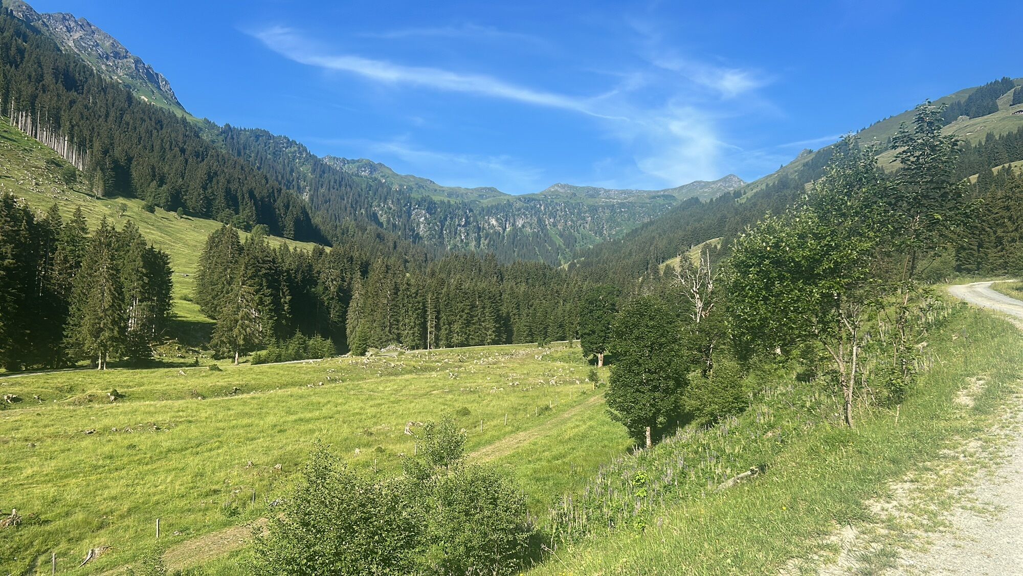
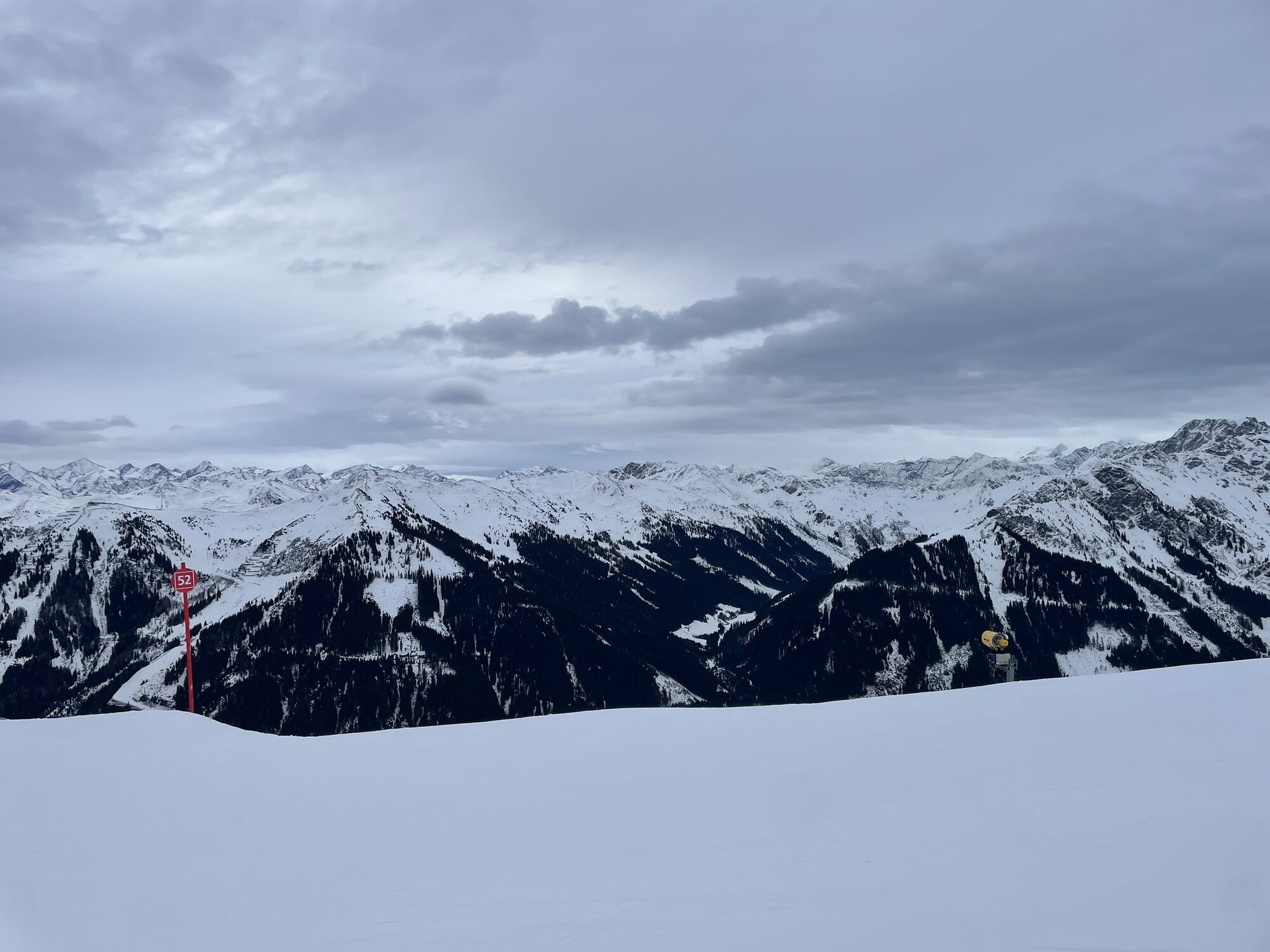
From Maishofen, you first cycle, partly on public roads and partly on the signposted cycle path, up the Glemmtal valley to Hinterglemm. You can also shorten the tour by almost 30 km and 300 meters in altitude...

Opis
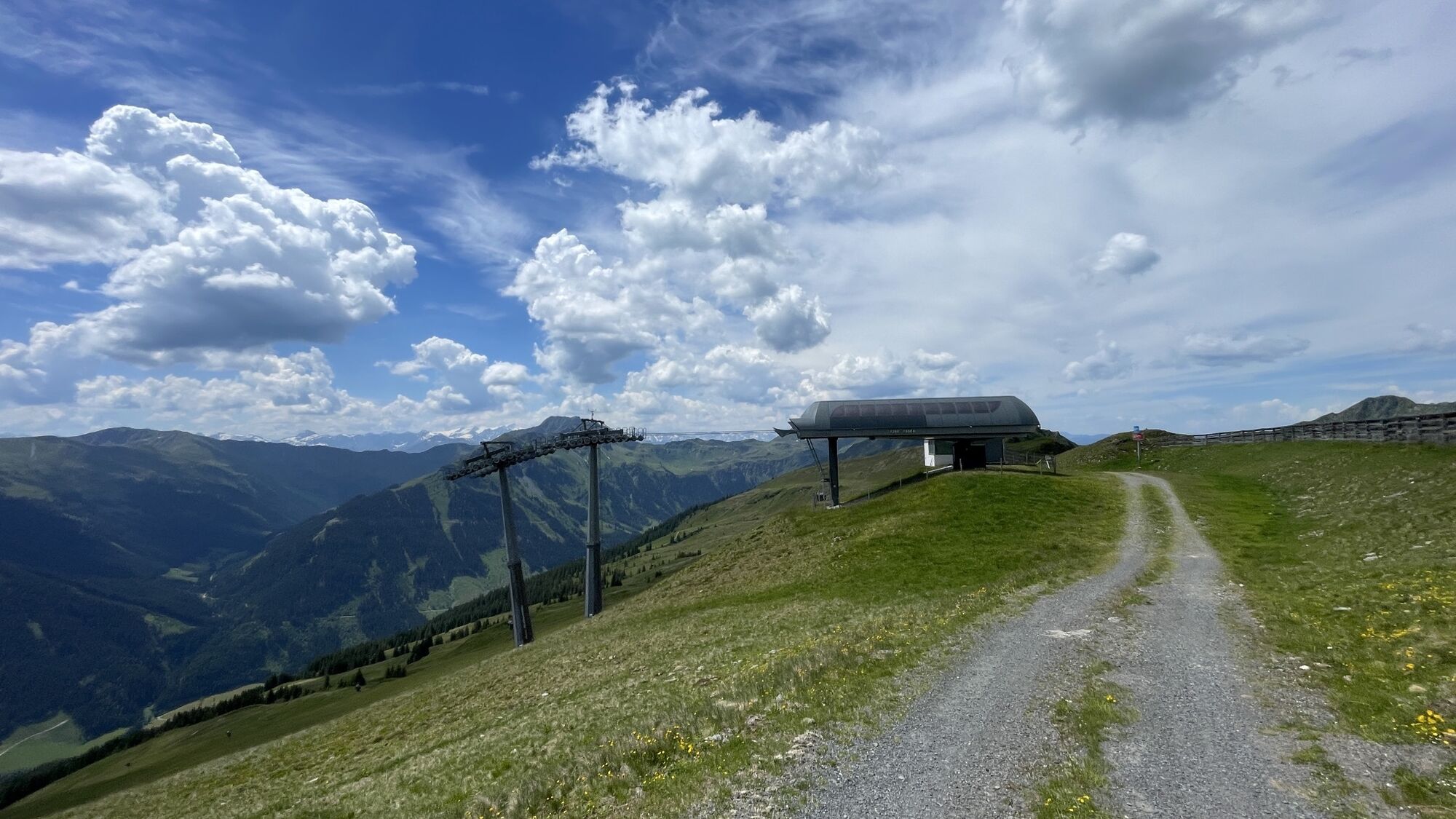
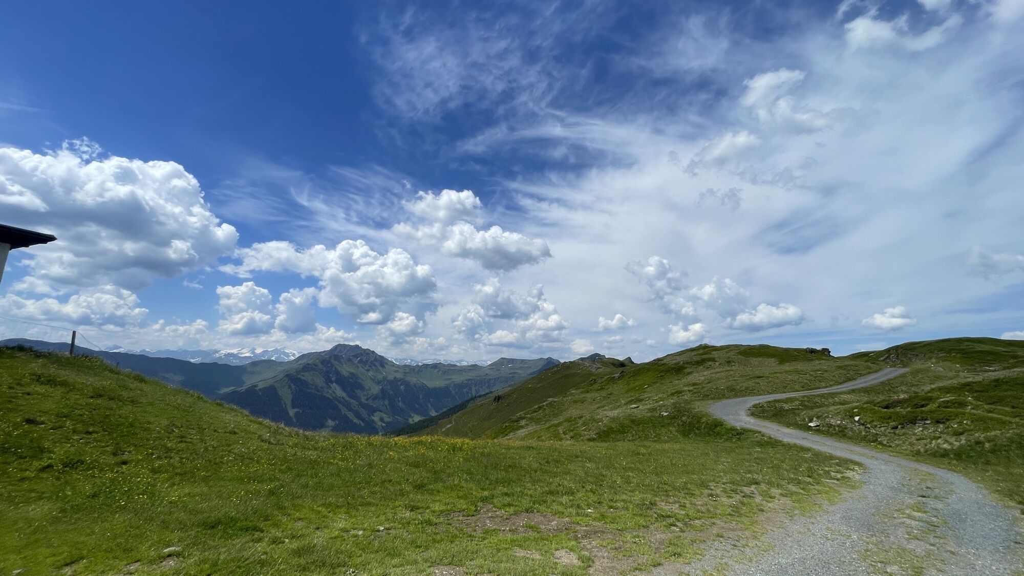
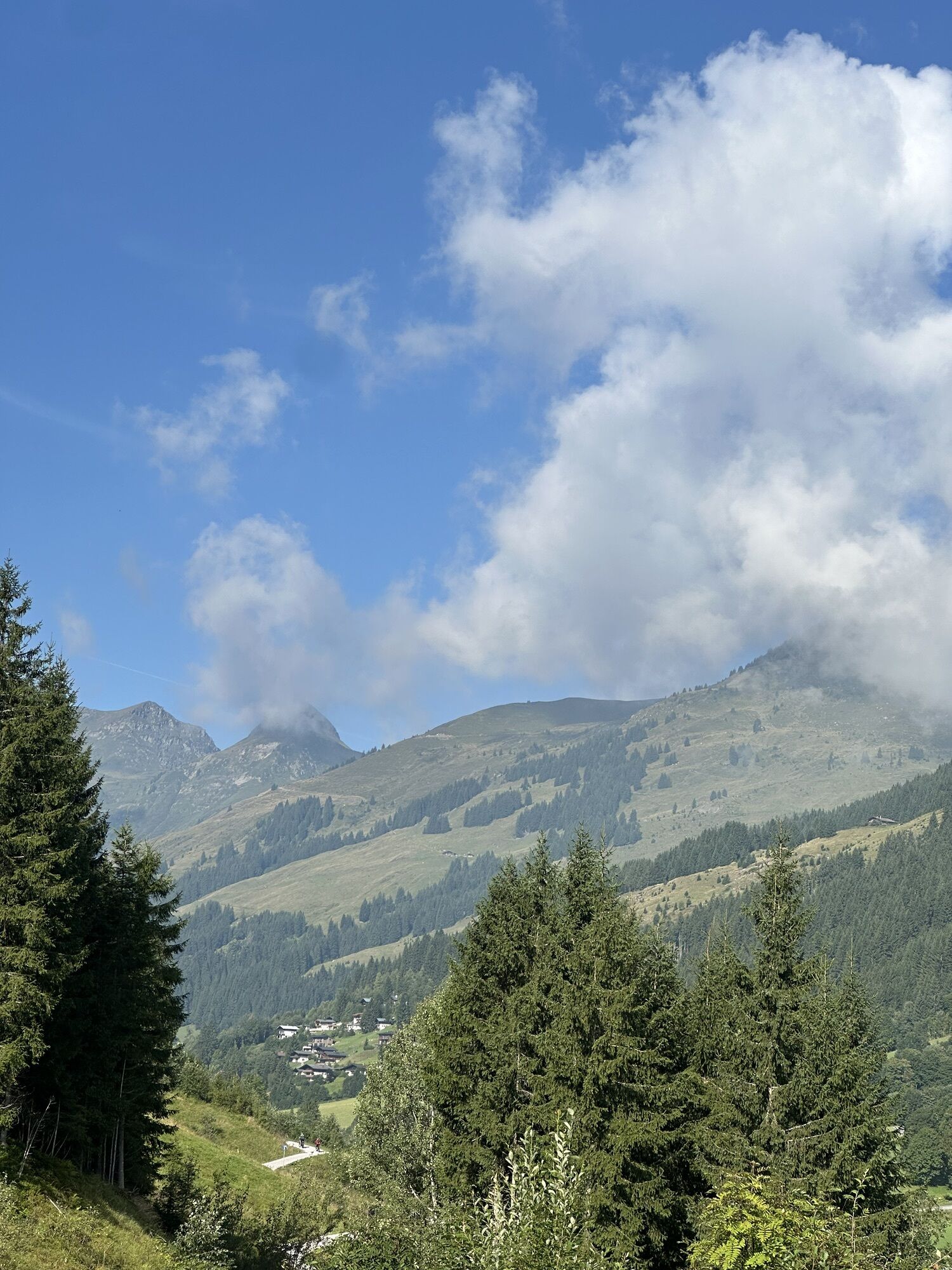
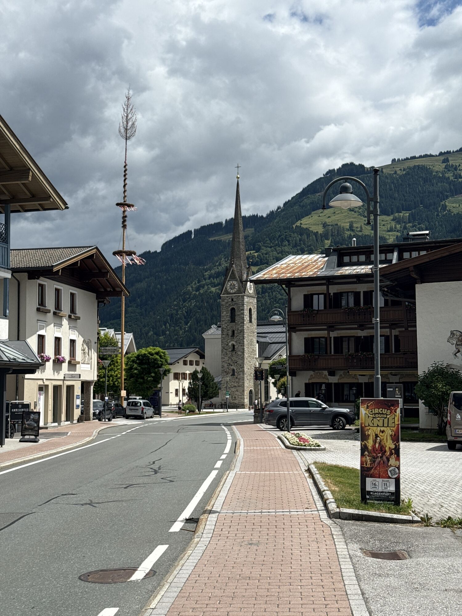
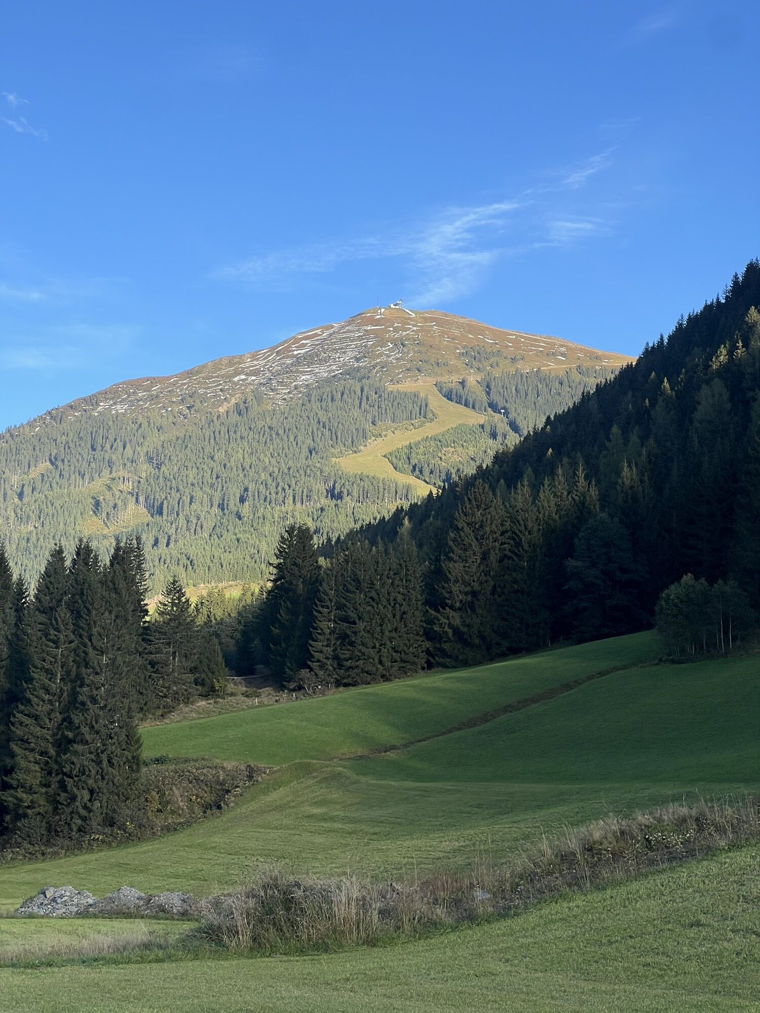
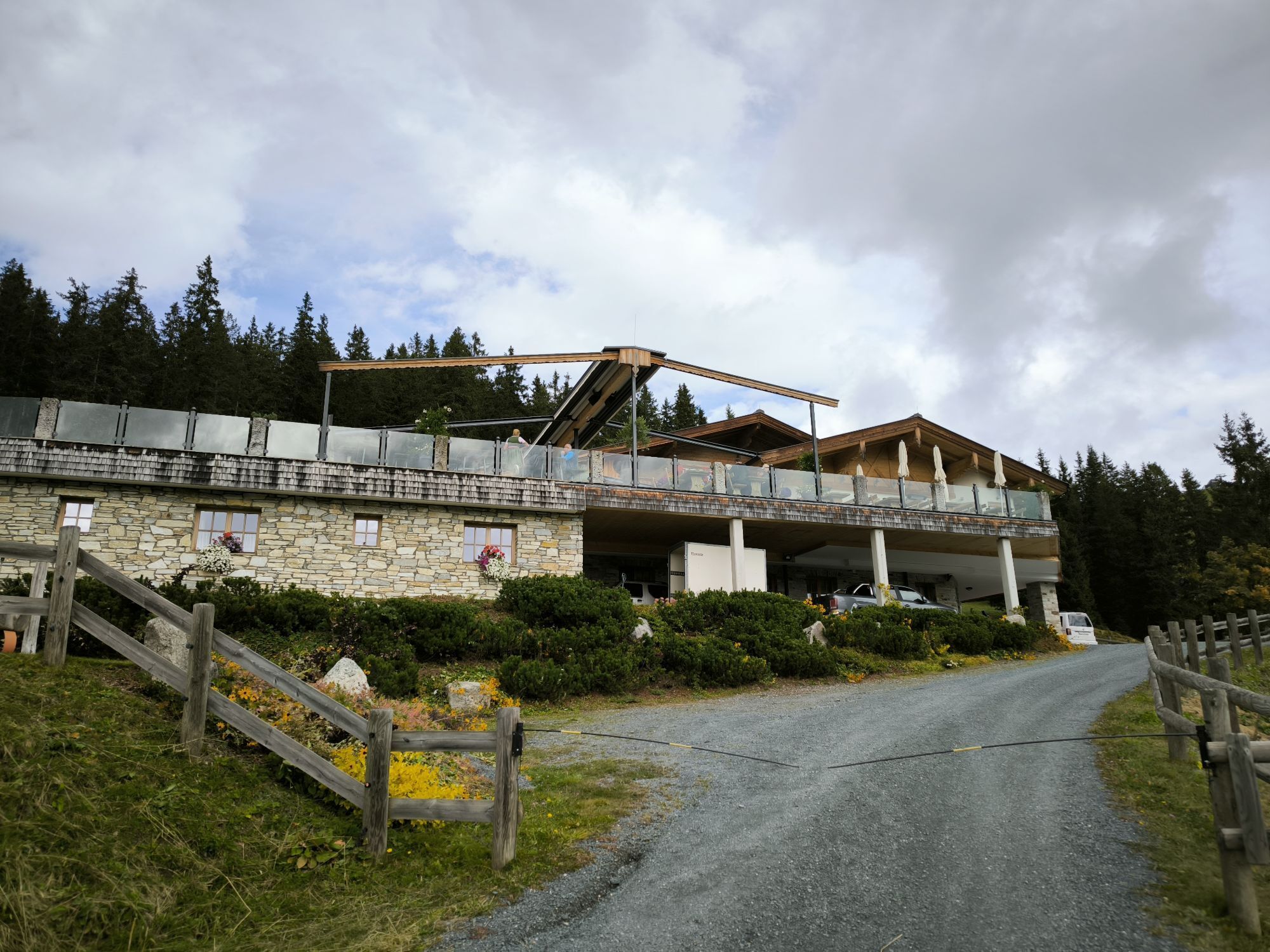
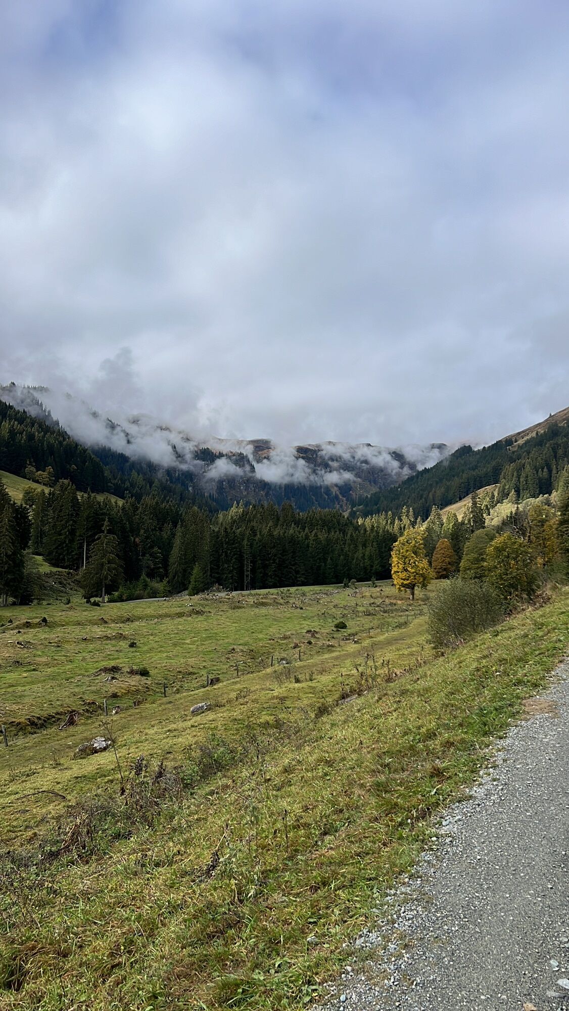
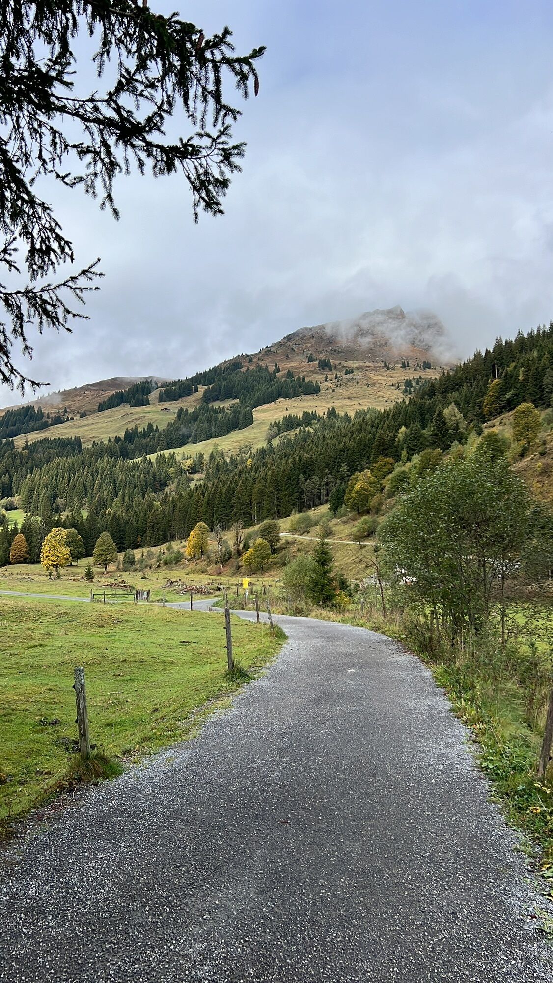
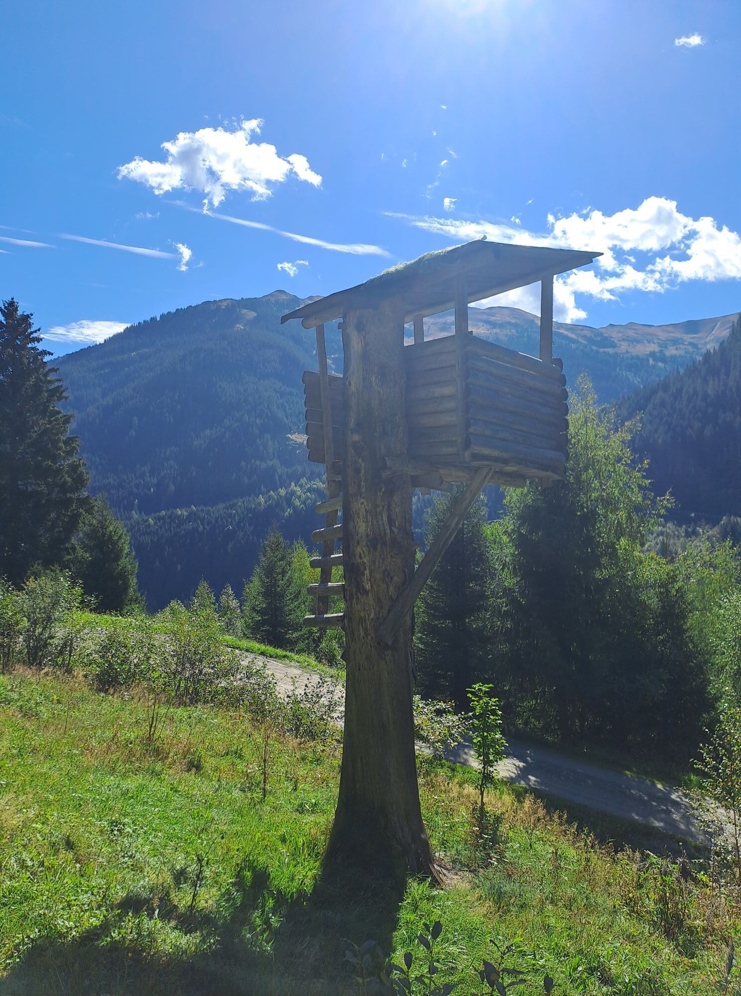
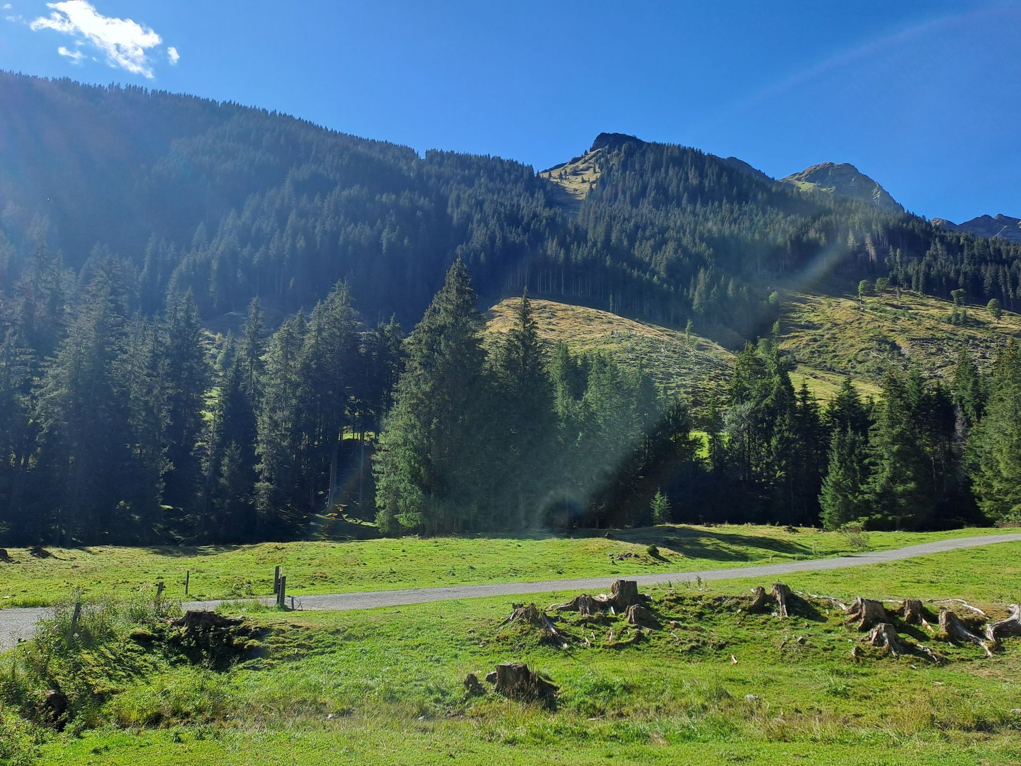
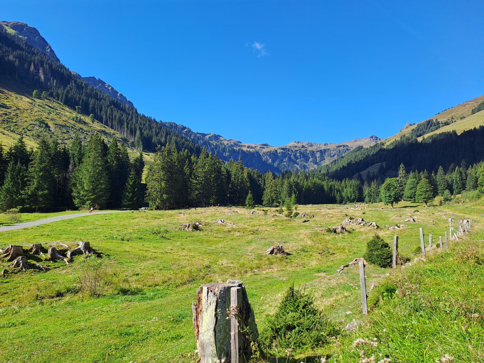
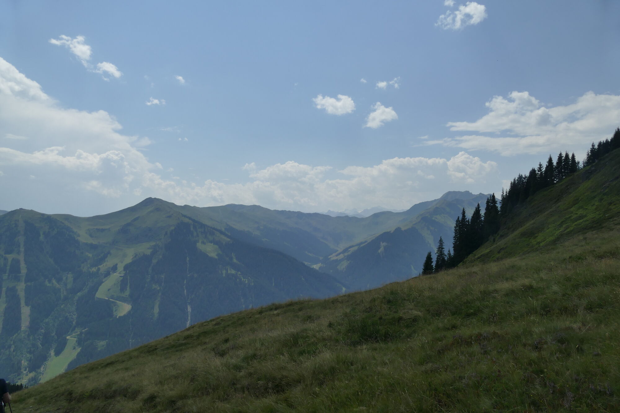
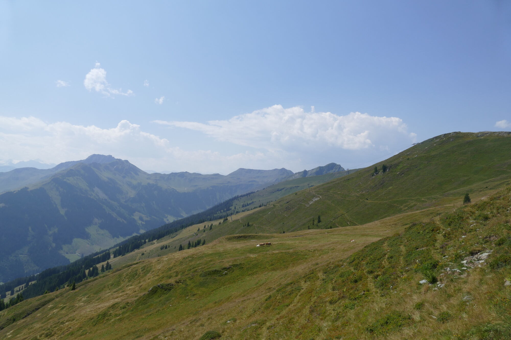
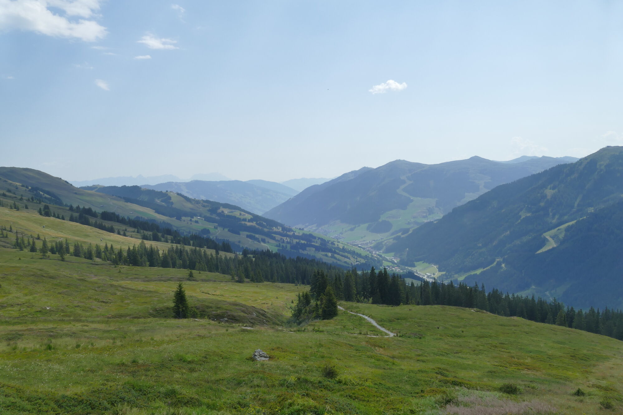
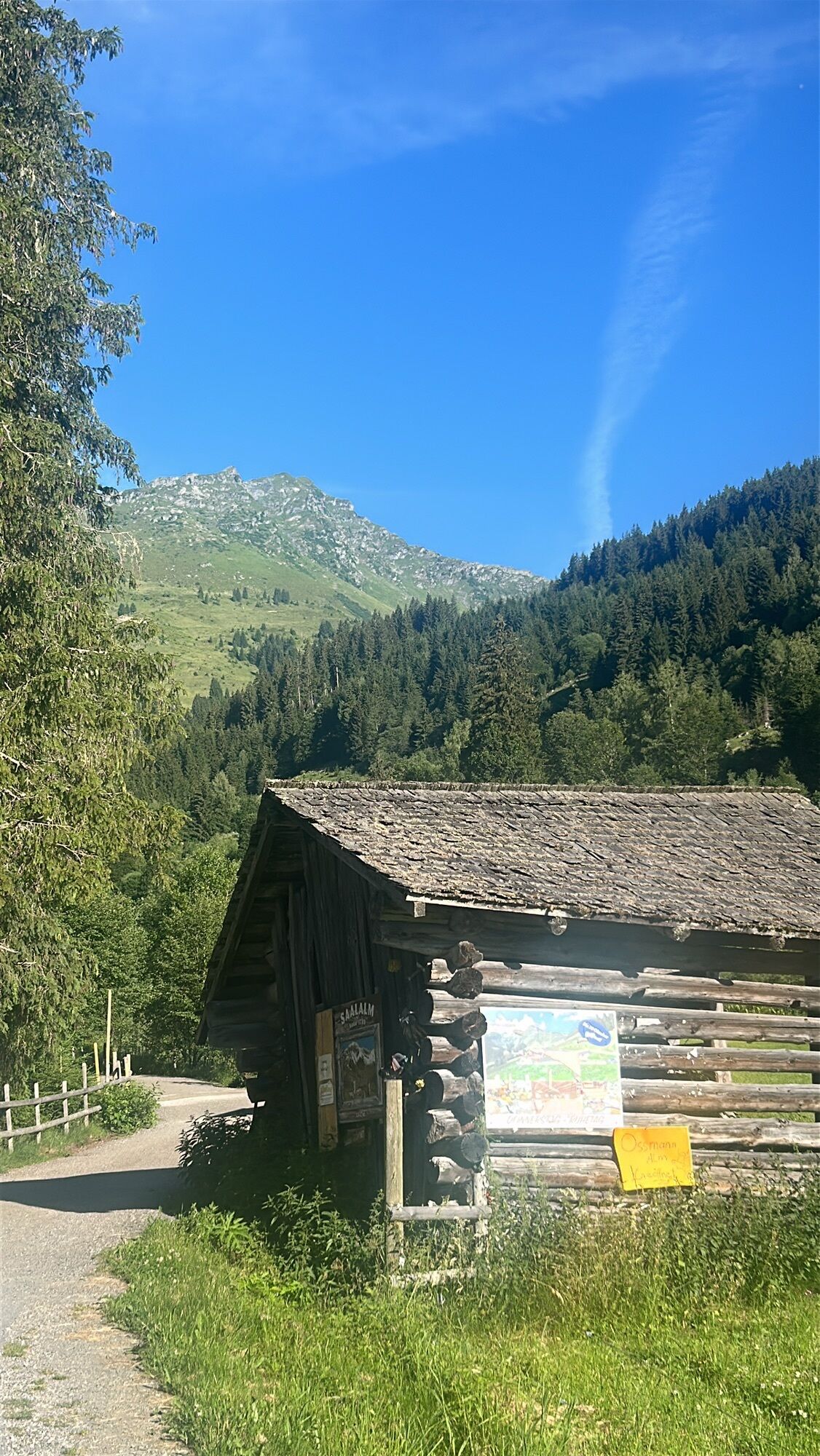
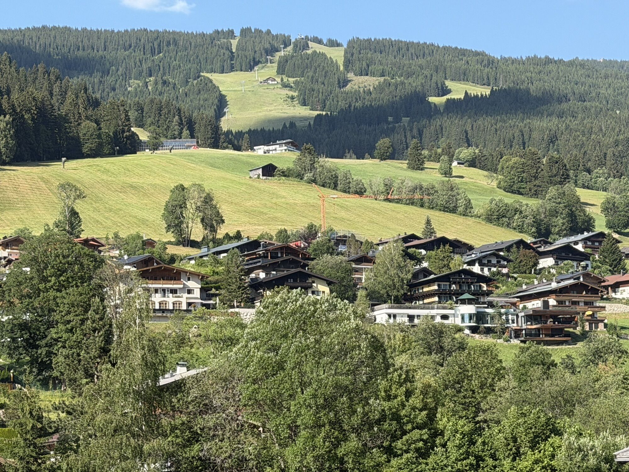
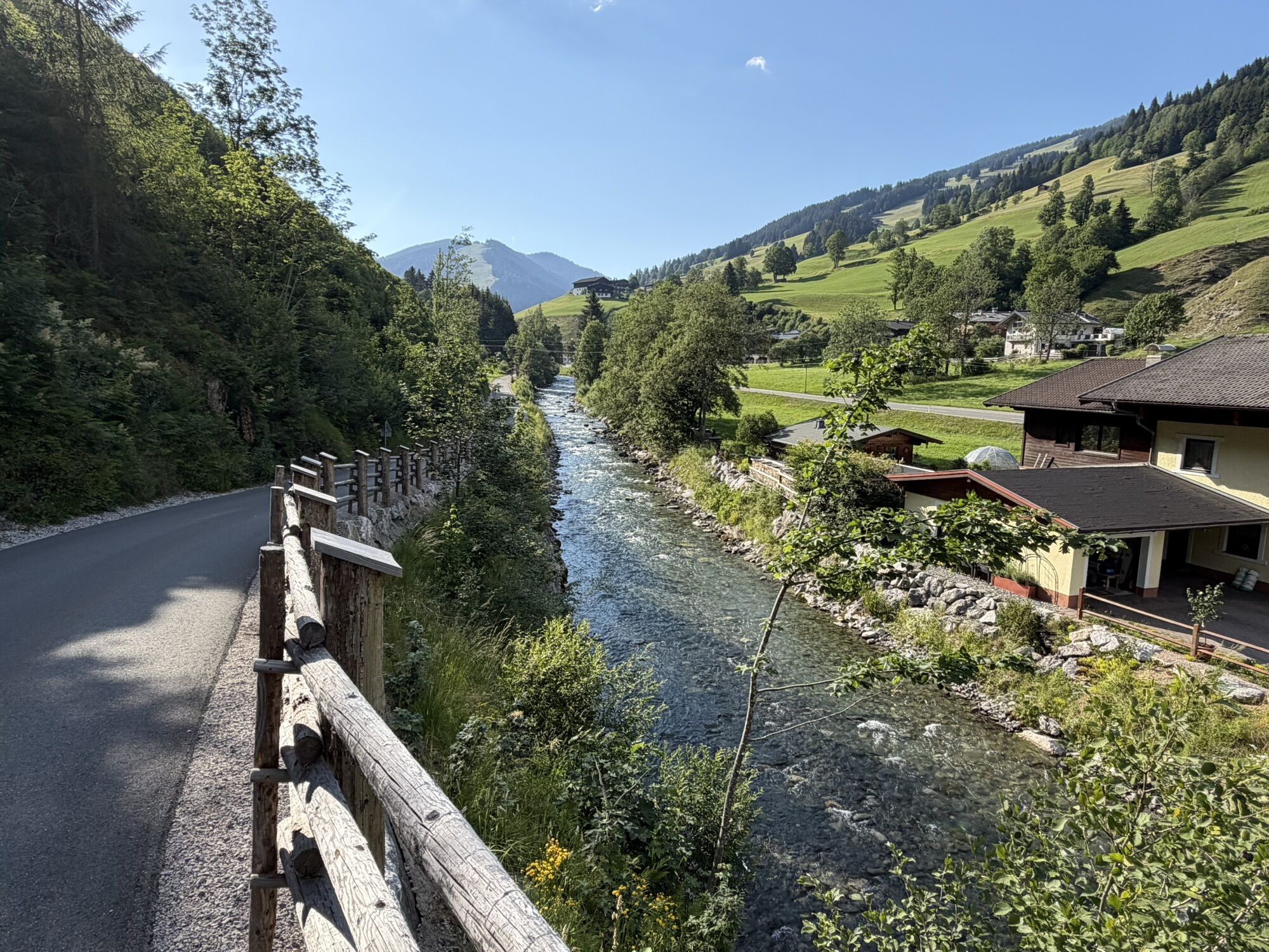
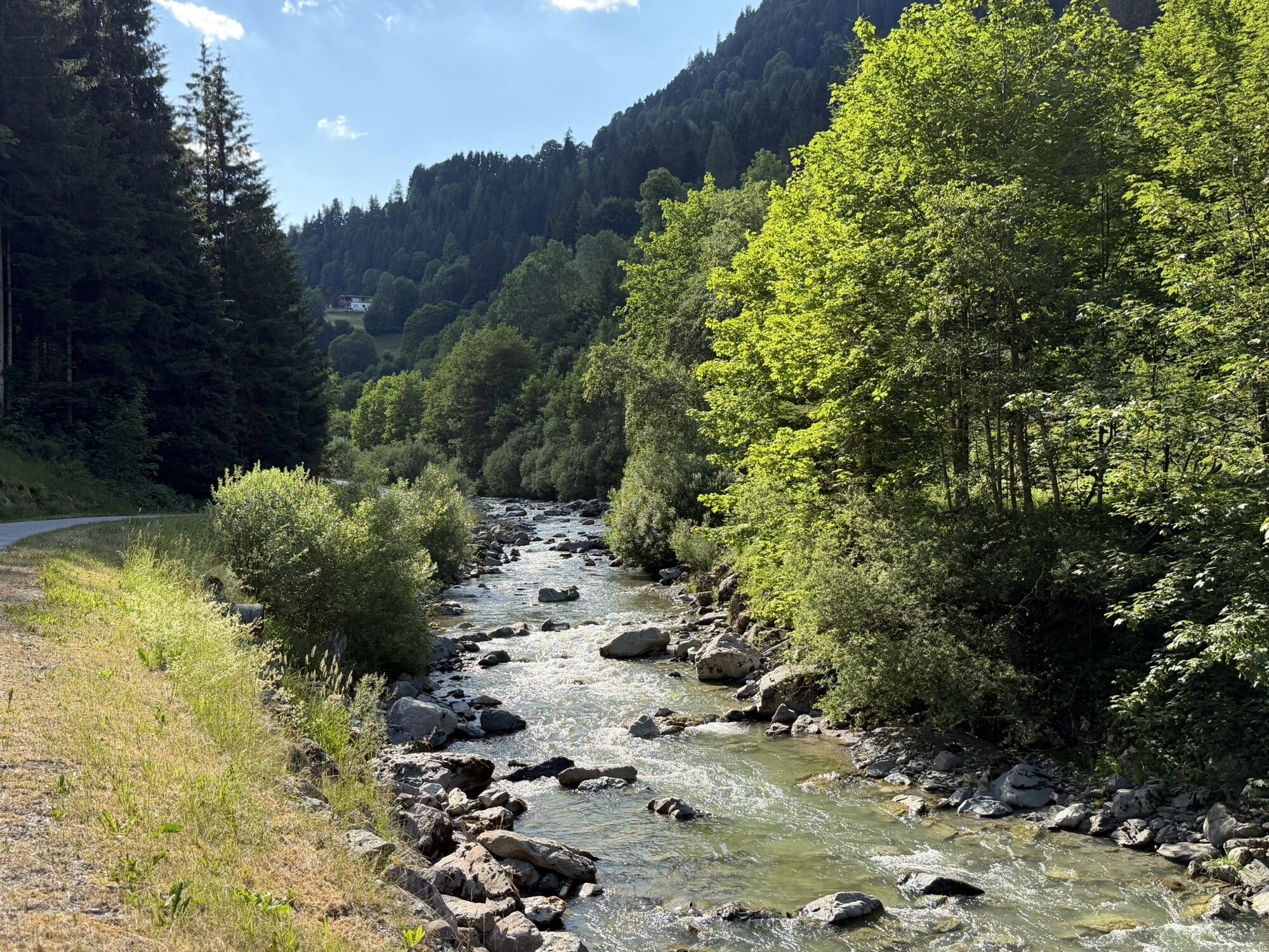
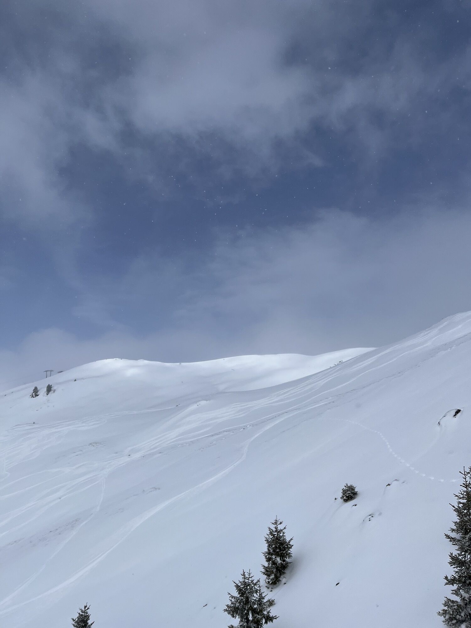
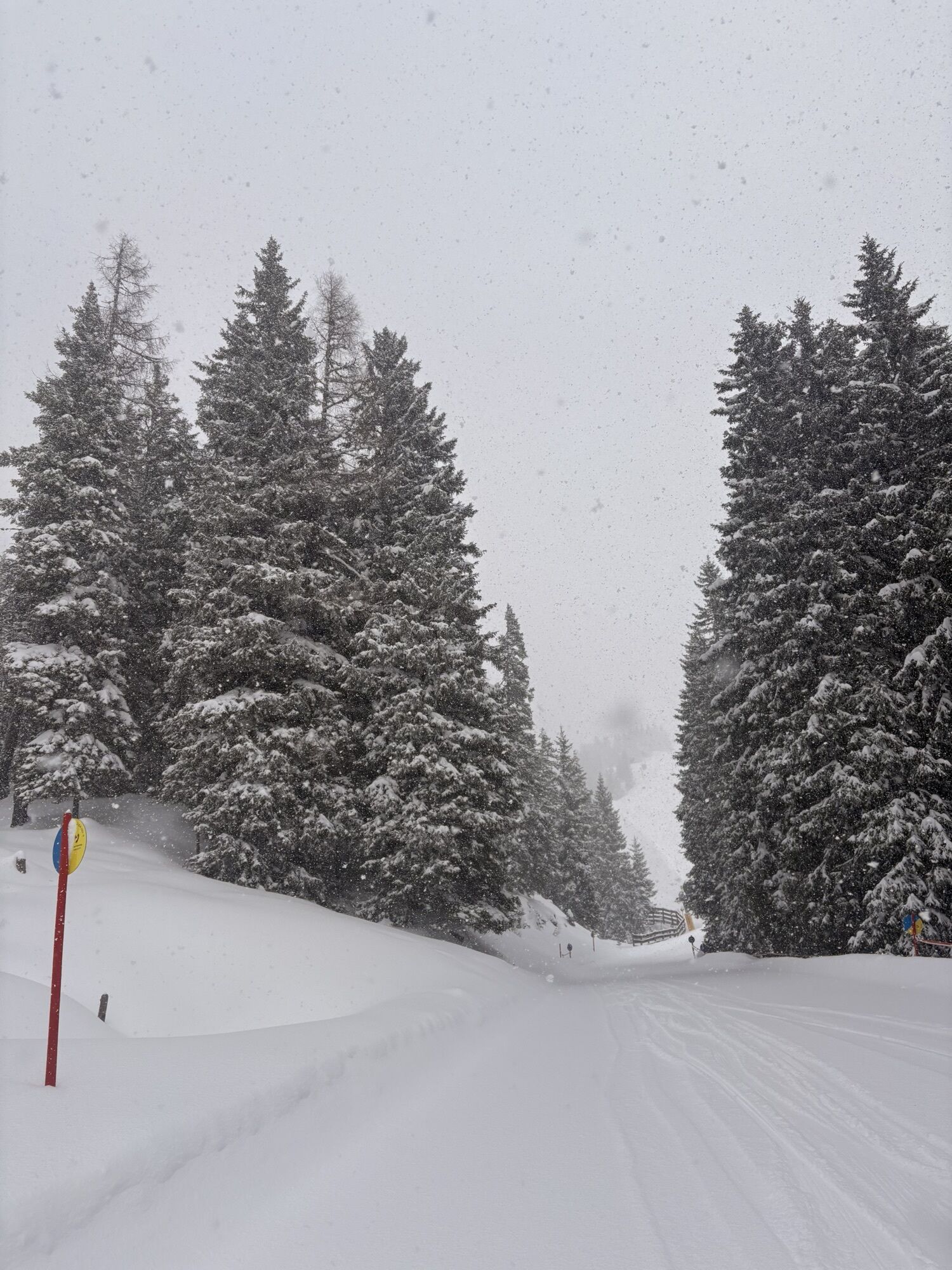
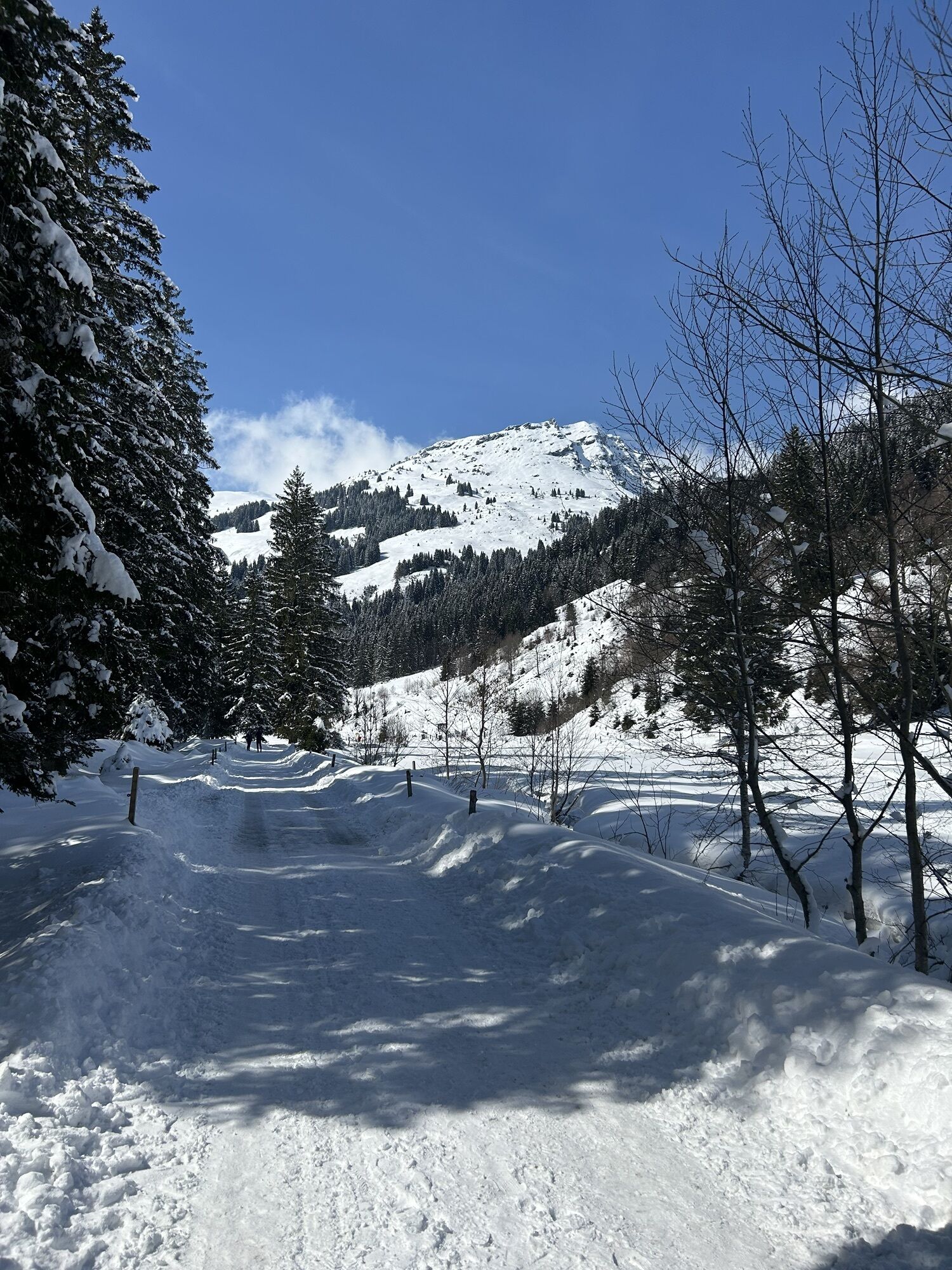
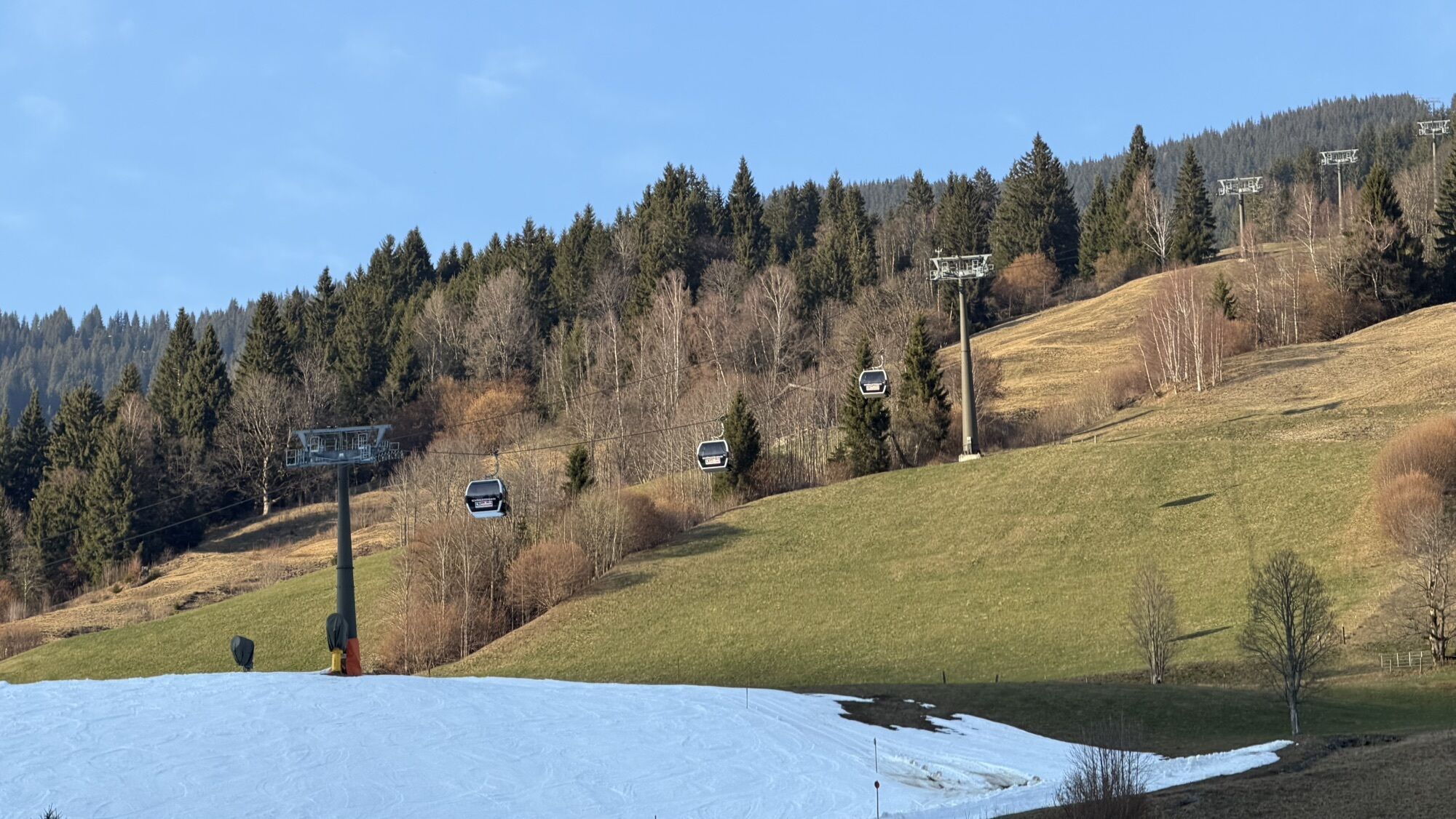
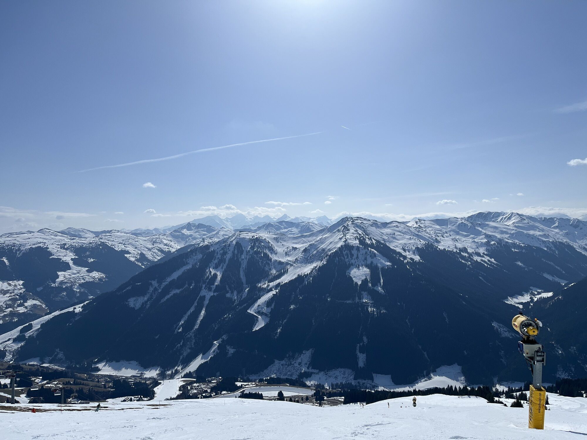
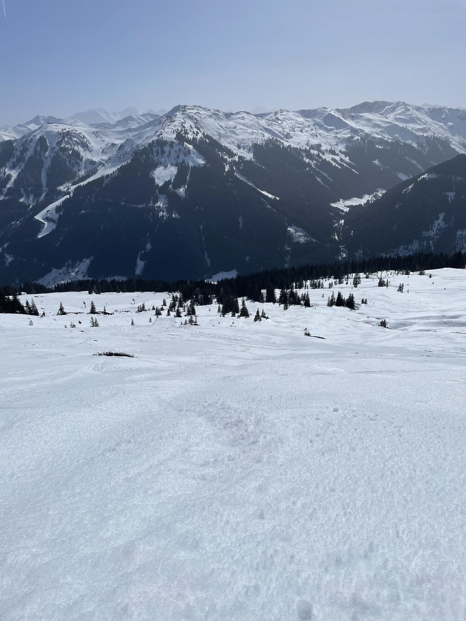
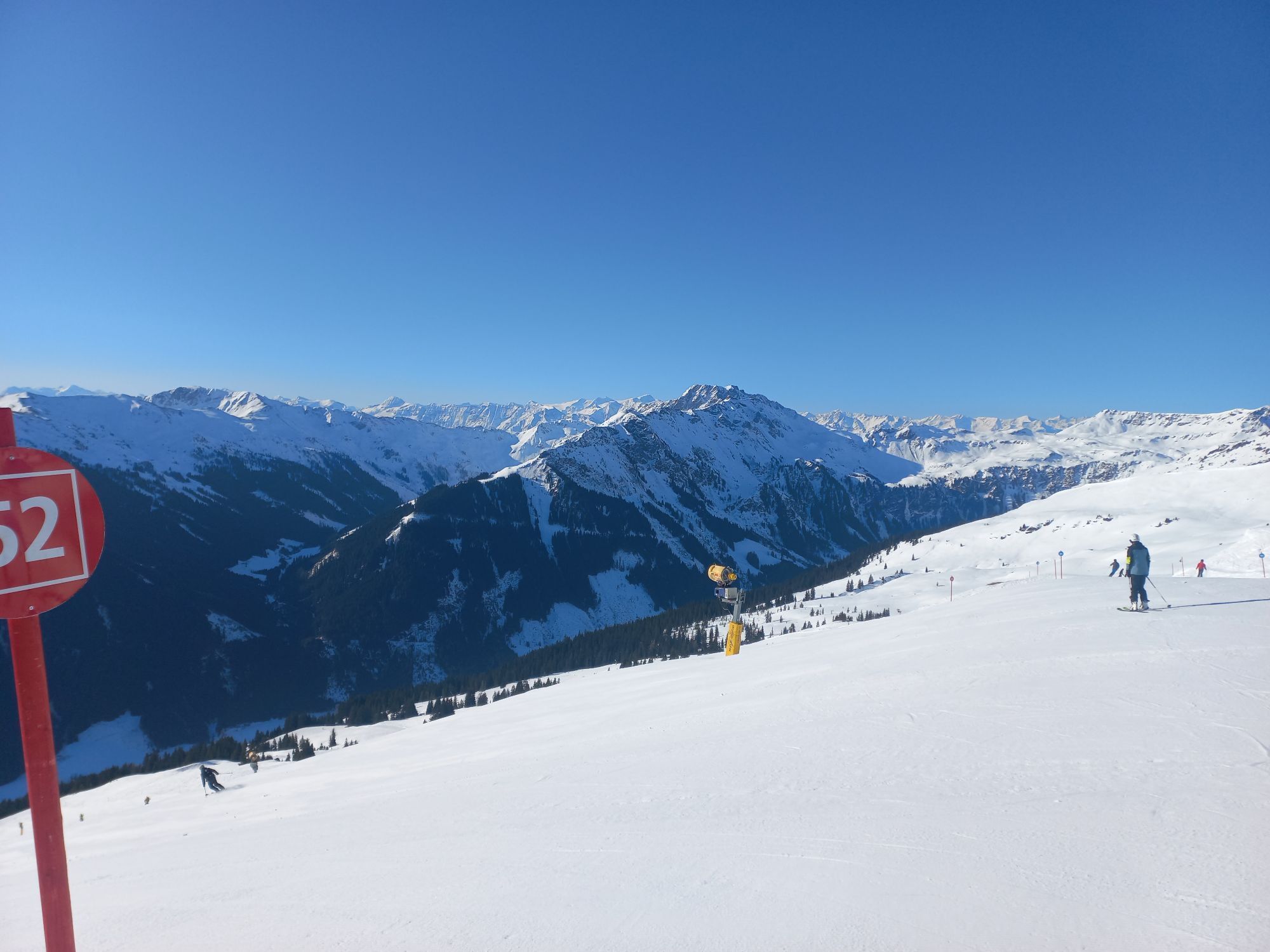
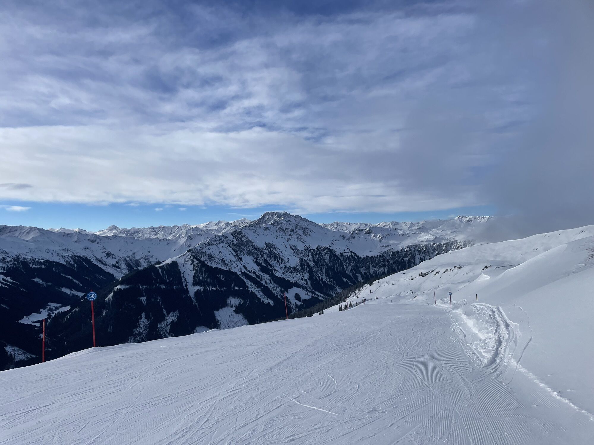
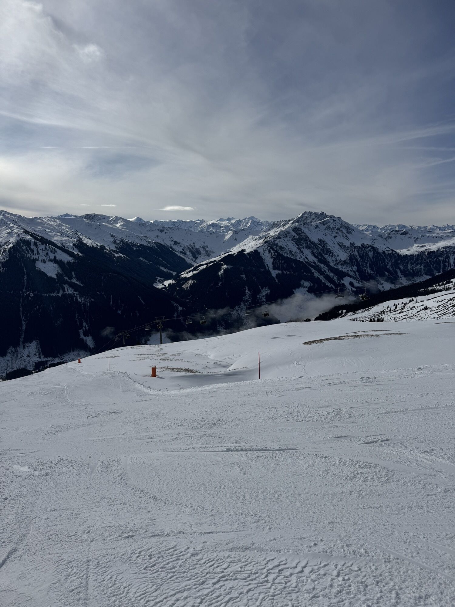
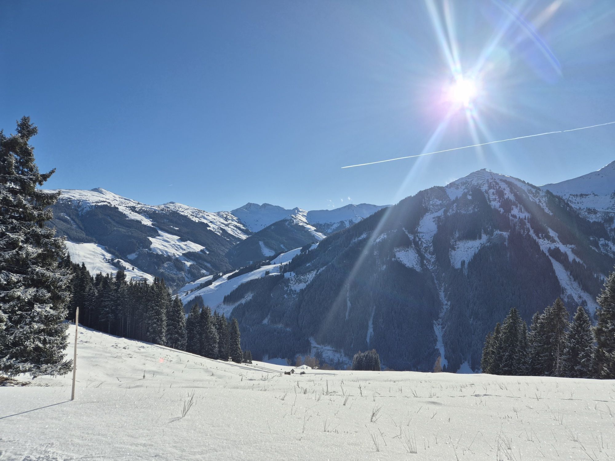
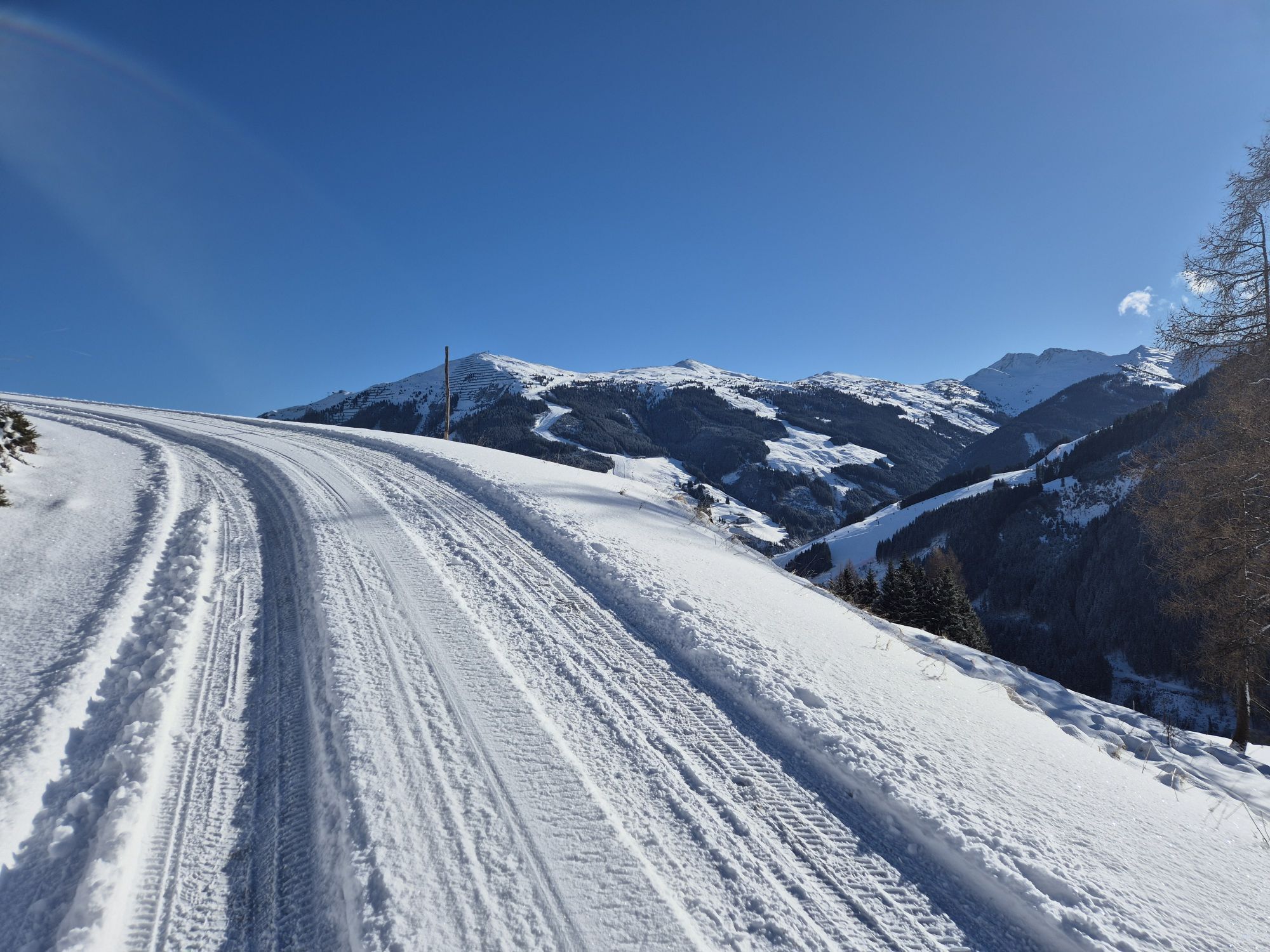
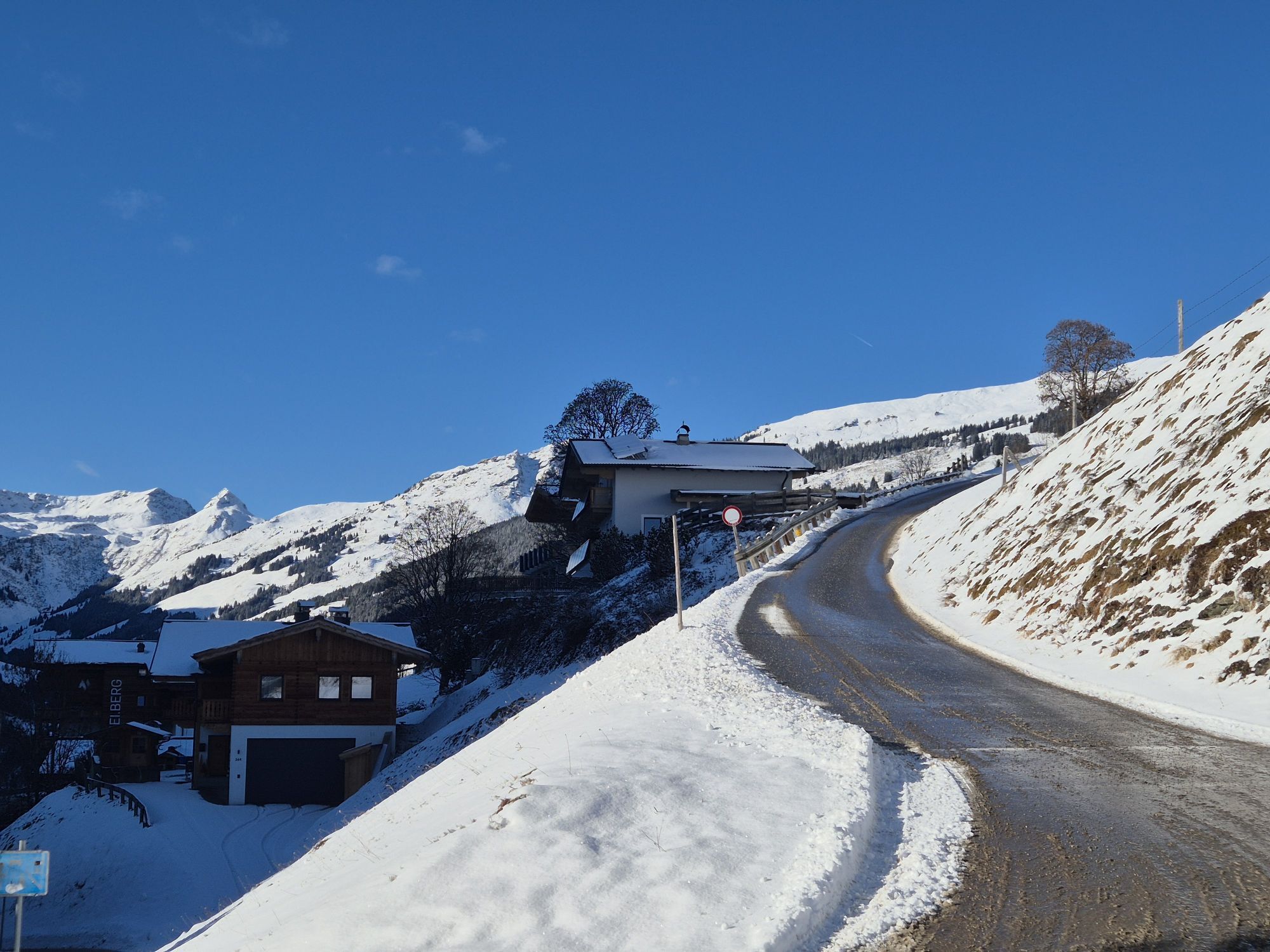
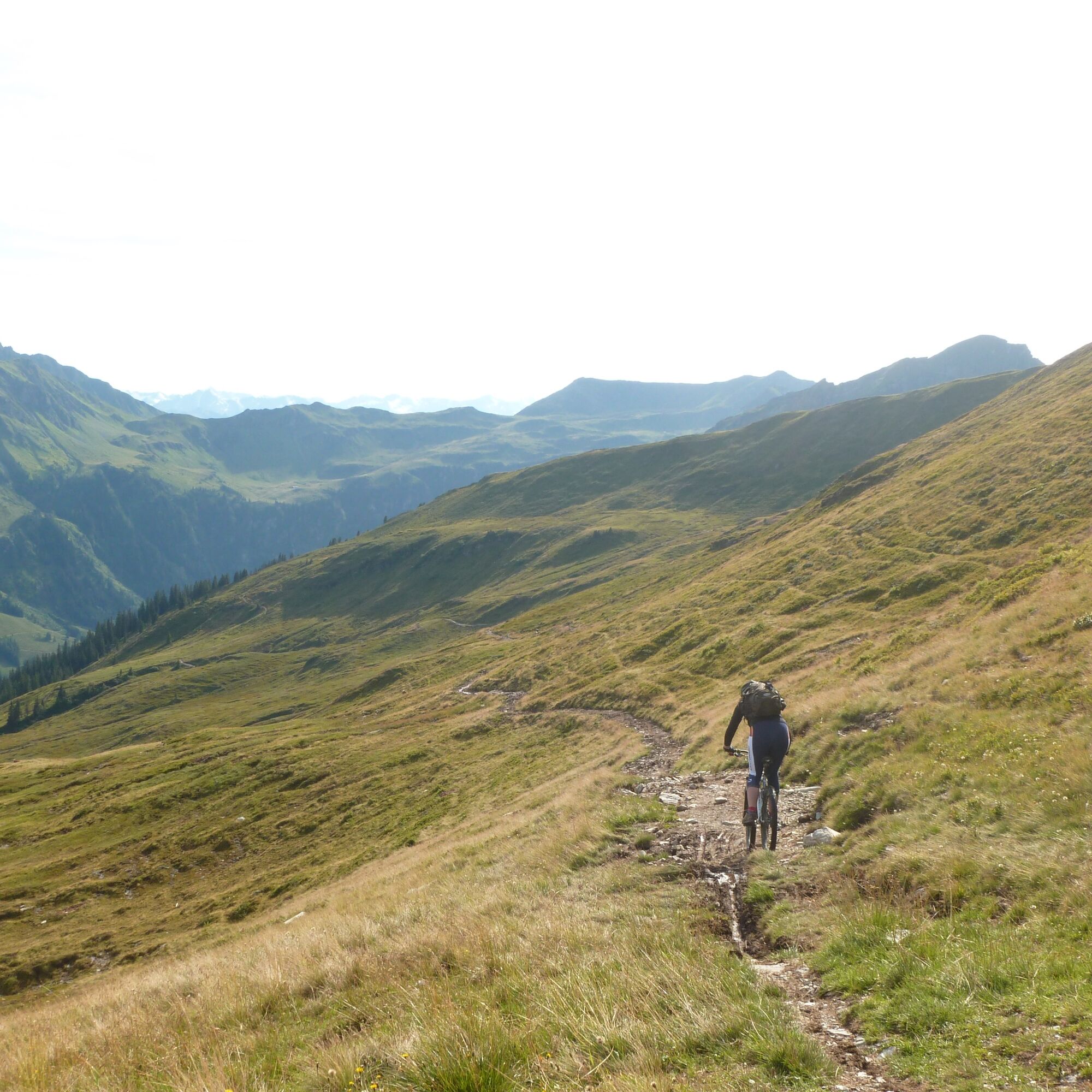
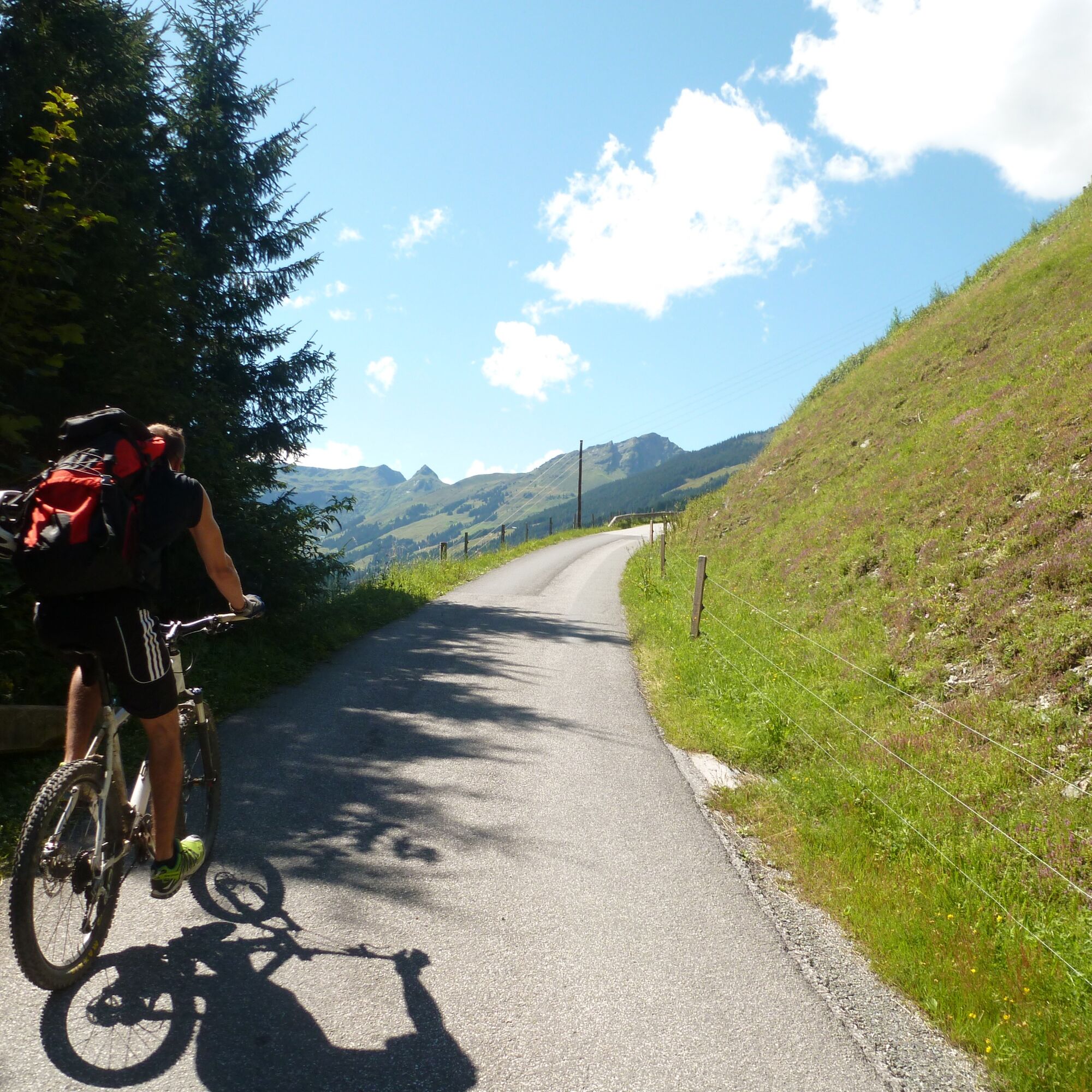
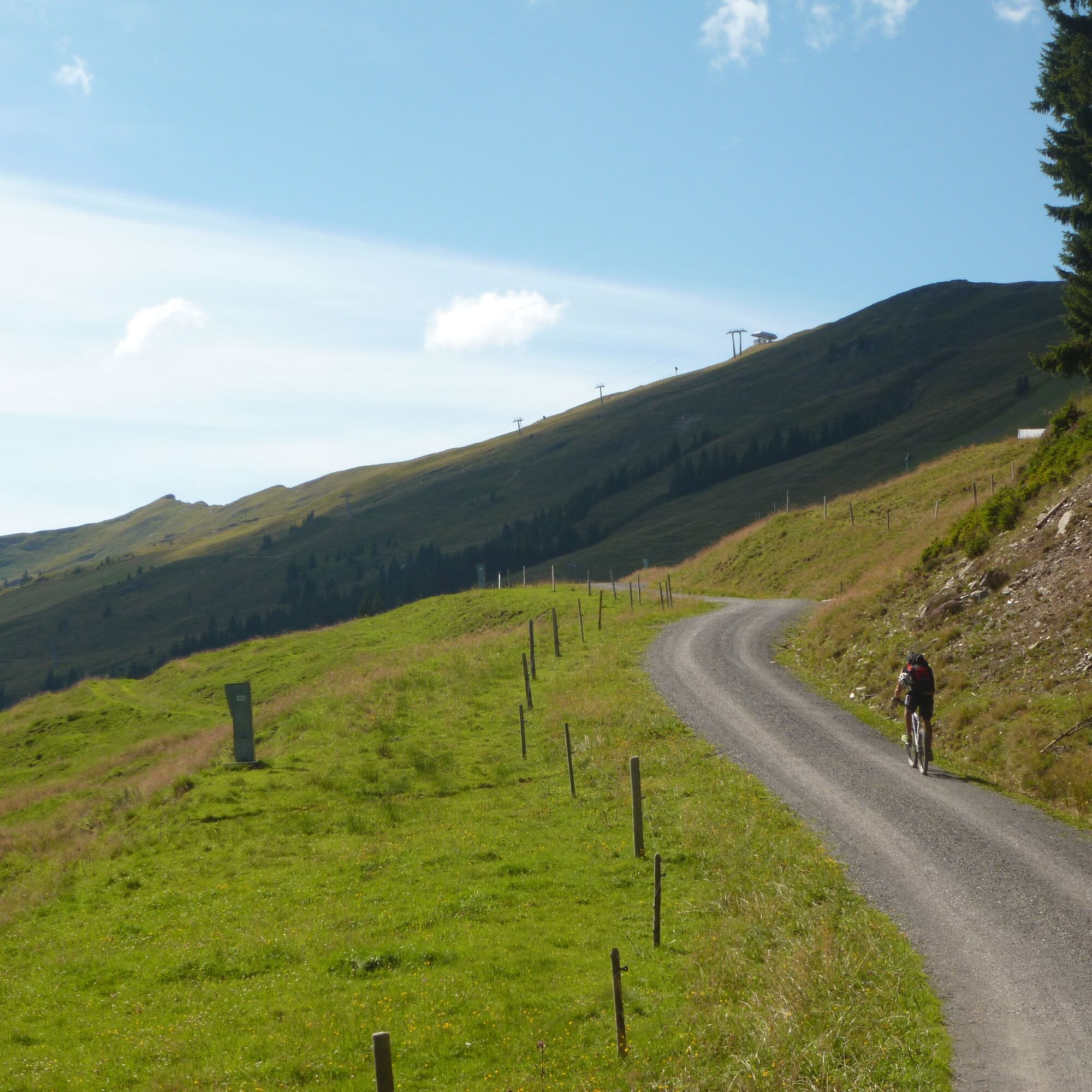
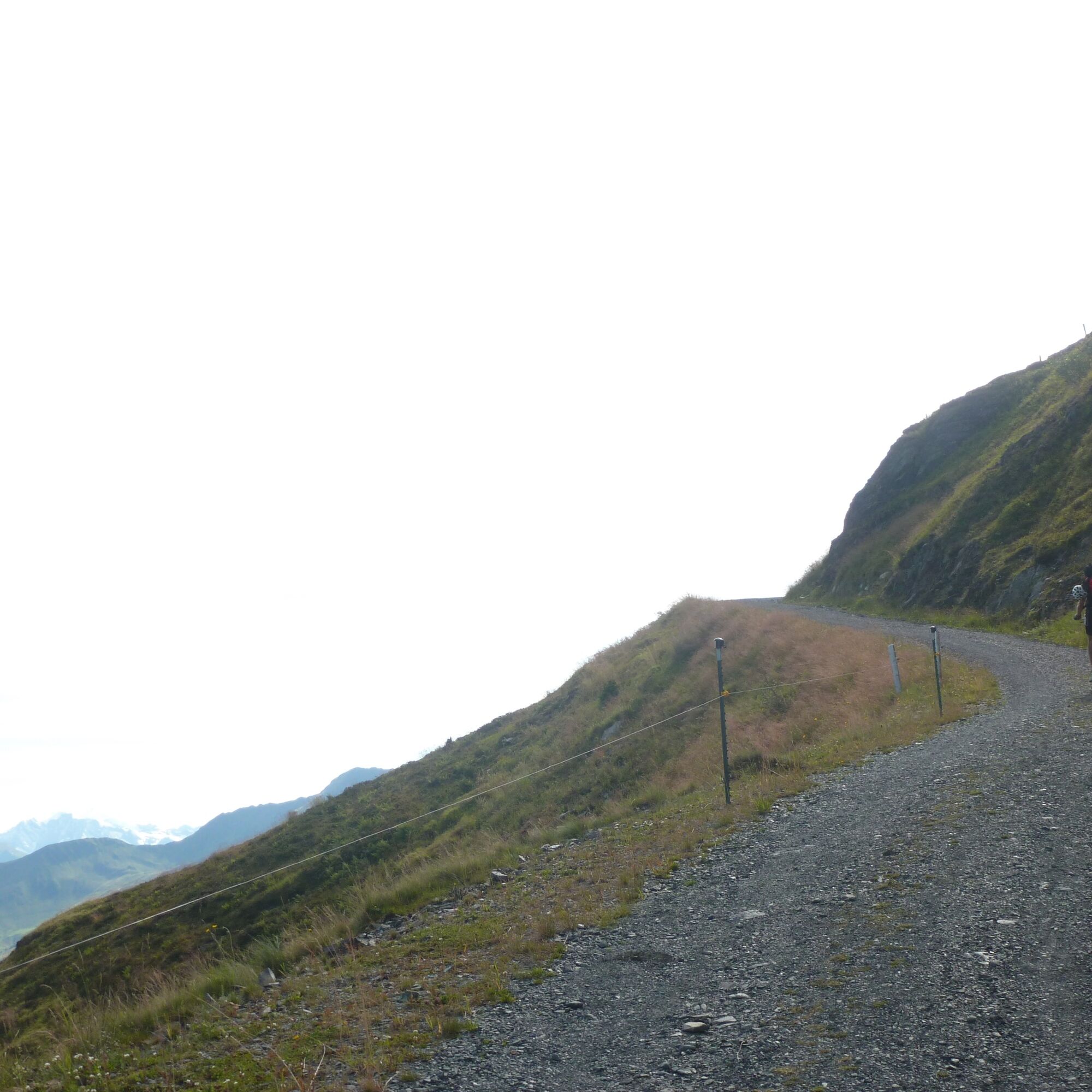
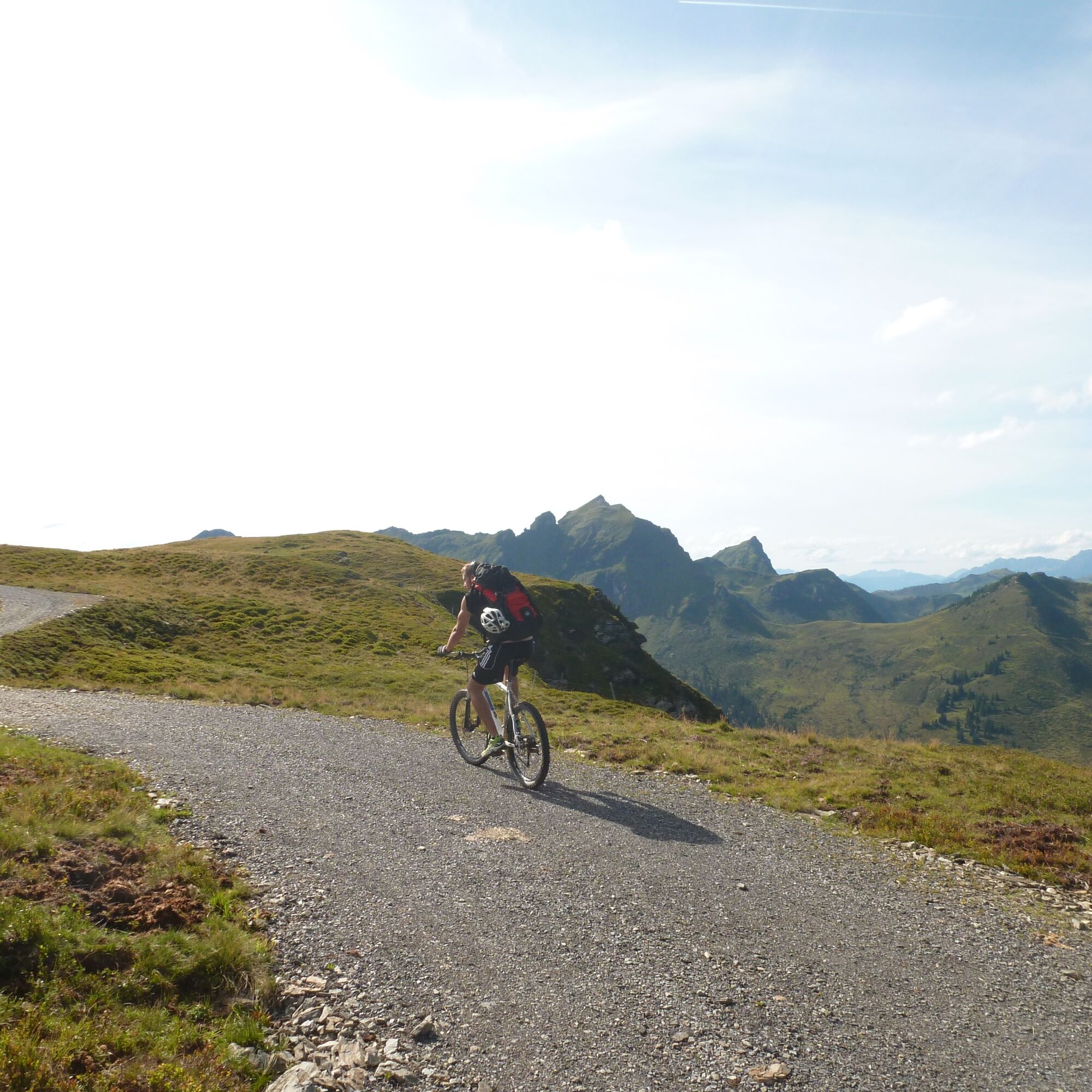
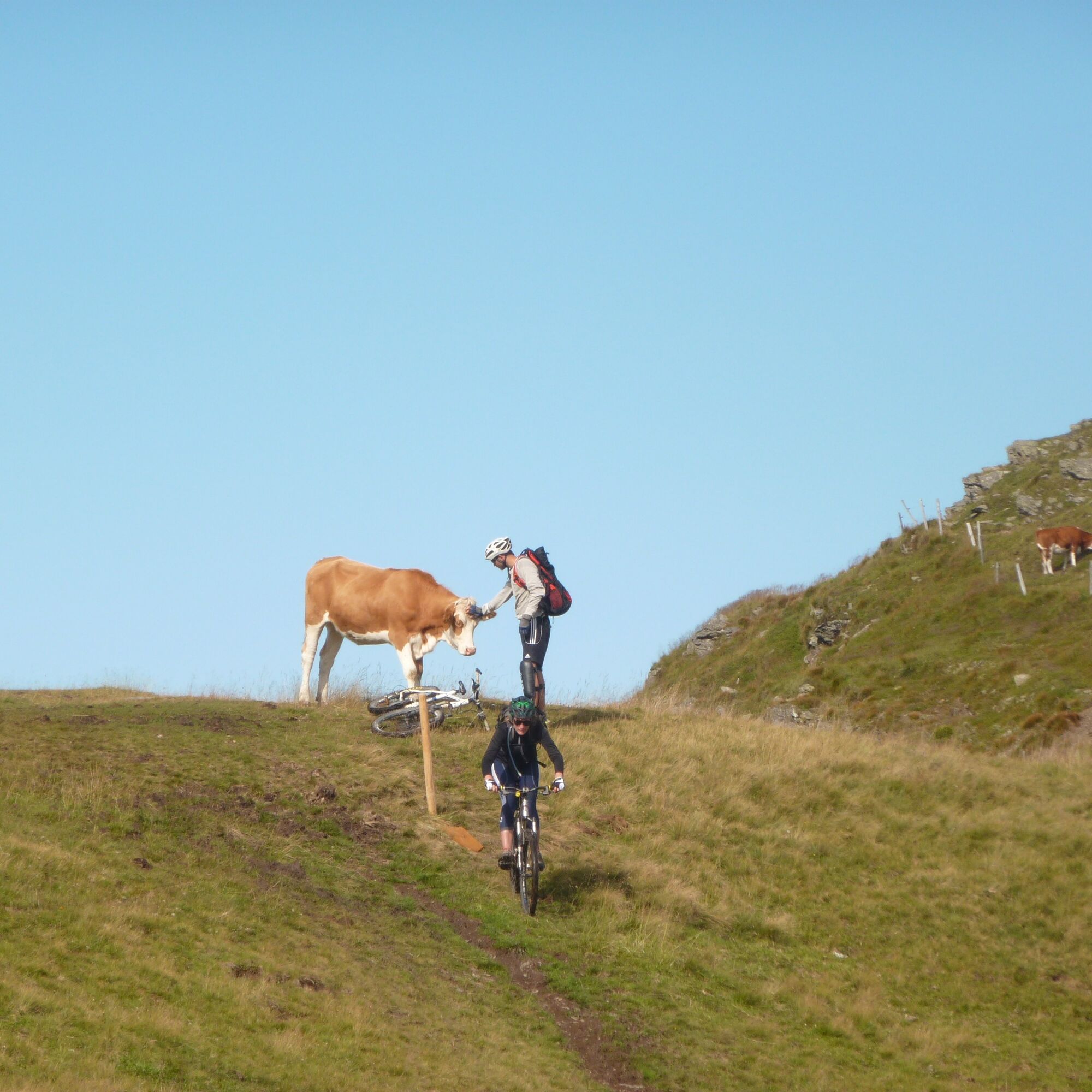
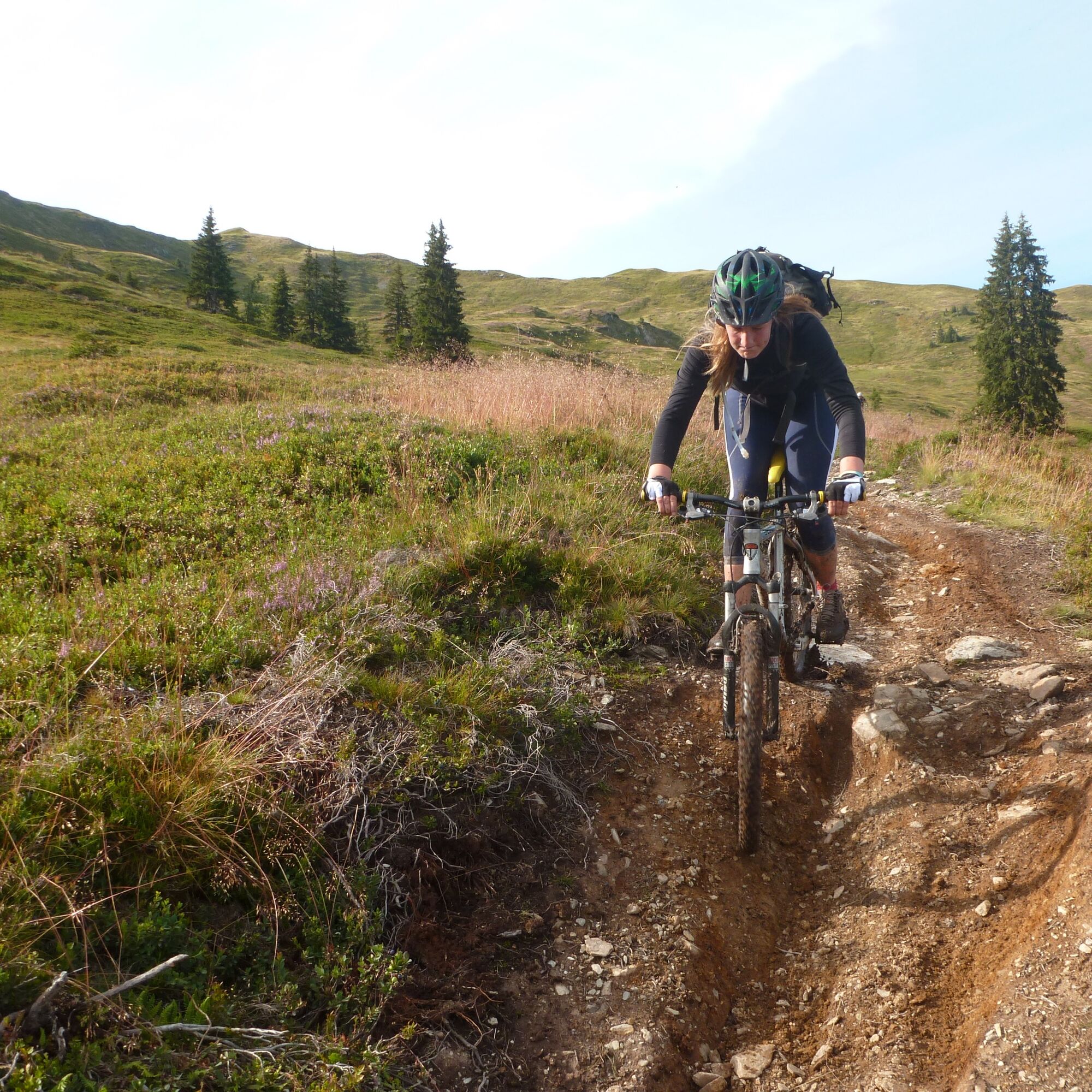
From Maishofen, you first cycle, partly on public roads and partly on the signposted cycle path, up the Glemmtal valley to Hinterglemm. You can also shorten the tour by almost 30 km and 300 meters in altitude by driving to Hinterglemm by car. A few meters downstream from the valley station of the Zwölferkogelbahn (public parking), you cross the Saalach at the Forellenhof and immediately turn left after the bridge onto the cycle path towards the valley end. After just under a kilometer, the ascent begins on the right at the next bridge. Initially  on asphalt and soon on gravel, the path leads in numerous switchbacks to the Roßwaldhütte. You pass this hut above and then turn left onto another forest road towards the Hinterreichkendlhütte. Shortly before this, after another switchback, turn right uphill  (signposted "Hochalmtrail") to the top station of the Hochalm chairlift on the Reichkendlkopf. Afterwards, you continue very scenic along the ridge path to the top station of the Spieleck chairlift at 1950 m. Here begins the reward for the effort of the ascent: an amazing trail that leads down over alpine meadows and light forest towards the Glemmtal valley. The descent offers flowing sections with gentle berms, light rocky sections, and root sections in the lower part. You also have to maneuver your bike through a few hairpin bends. However, since the trail is never excessively steep or exposed, even trail beginners will enjoy it. After heavy rainfall, it is best to wait for a few dry days because the path can become very swampy over long sections. After about 400 meters in altitude, the trail joins a forest road. You descend via this road to Lengau, where the beer garden of the Lengauer Hof invites you to conclude the tour. If you are not done yet, you can add a "hard work round" in the Glemmtal valley end. Via the signposted cycle path and the state road, you finally roll back to Hinterglemm or Maishofen. 


Trasa
Unseren lieben Frau Geburt
(767 m)
Miejsce kultu
0,0 km
Kreuzerlehen
(861 m)
Rozliczenie
6,4 km
Vorderglemm
(931 m)
Rozliczenie
10,6 km
Achrain
(1 065 m)
Rozliczenie
16,3 km
Reichkendlkopf
(1 942 m)
Szczyt
26,5 km
Kapelle Lengau
(1 146 m)
Miejsce kultu
35,8 km
Unseren lieben Frau Geburt
(767 m)
Miejsce kultu
58,9 km
Trasa
Mapa
Hochalm Panorama Loop
średni
Mountainbike
59,07 km
Unseren lieben Frau Geburt
(767 m)
Miejsce kultu
0,0 km
Maishofen
(768 m)
Wioska
0,0 km
Atzing
(769 m)
Wioska
0,4 km
Glemmerhof
(813 m)
Restauracja
3,3 km
Viehhofen
(852 m)
Wioska
5,5 km
Restaurant Dorfstadl
(854 m)
Restauracja
5,8 km
Rehrenbergsiedlung
(888 m)
Sąsiedztwo
6,3 km
Kreuzerlehen
(861 m)
Rozliczenie
6,4 km
Jausern
(935 m)
Rozliczenie
10,2 km
Igelsberg
(948 m)
Rozliczenie
10,3 km
Vorderglemm
(931 m)
Rozliczenie
10,6 km
Hochwart Tenne
(935 m)
Restauracja
10,7 km
Reitermühlesiedlung
(942 m)
Sąsiedztwo
10,9 km
Reit
(955 m)
Rozliczenie
12,0 km
Saalbach
(997 m)
Wioska
14,3 km
Eibing
(1 010 m)
Rozliczenie
15,6 km
Achrain
(1 065 m)
Rozliczenie
16,3 km
Mitteregglift
(1 025 m)
Stacja gondoli
16,8 km
Hinterglemm
(1 039 m)
Wioska
17,8 km
Roßwaldhütte
(1 551 m)
Restauracja
23,3 km
Reichkendlkopf
(1 942 m)
Szczyt
26,5 km
Hochalm 6er
(1 919 m)
Stacja gondoli
26,6 km
Spieleck 6er
(1 942 m)
Stacja gondoli
27,6 km
Lengau
(1 154 m)
Rozliczenie
35,8 km
Kapelle Lengau
(1 146 m)
Miejsce kultu
35,8 km
Salzburger Stube
(1 143 m)
Restauracja
36,0 km
Eiböckalm
(1 140 m)
Rozliczenie
37,9 km
Hinterglemm
(1 039 m)
Wioska
41,2 km
Mitteregglift
(1 025 m)
Stacja gondoli
42,1 km
Achrain
(1 065 m)
Rozliczenie
42,7 km
Eibing
(1 010 m)
Rozliczenie
43,2 km
Saalbach
(997 m)
Wioska
44,5 km
Reit
(955 m)
Rozliczenie
46,9 km
Reitermühlesiedlung
(942 m)
Sąsiedztwo
47,8 km
Hochwart Tenne
(935 m)
Restauracja
48,0 km
Vorderglemm
(931 m)
Rozliczenie
48,2 km
Igelsberg
(948 m)
Rozliczenie
48,4 km
Jausern
(935 m)
Rozliczenie
48,4 km
Kreuzerlehen
(861 m)
Rozliczenie
52,6 km
Rehrenbergsiedlung
(888 m)
Sąsiedztwo
52,6 km
Restaurant Dorfstadl
(854 m)
Restauracja
53,1 km
Viehhofen
(852 m)
Wioska
53,4 km
Glemmerhof
(813 m)
Restauracja
55,5 km
Atzing
(769 m)
Wioska
58,3 km
Unseren lieben Frau Geburt
(767 m)
Miejsce kultu
58,9 km
Maishofen
(768 m)
Wioska
58,9 km
Informacje o wycieczce
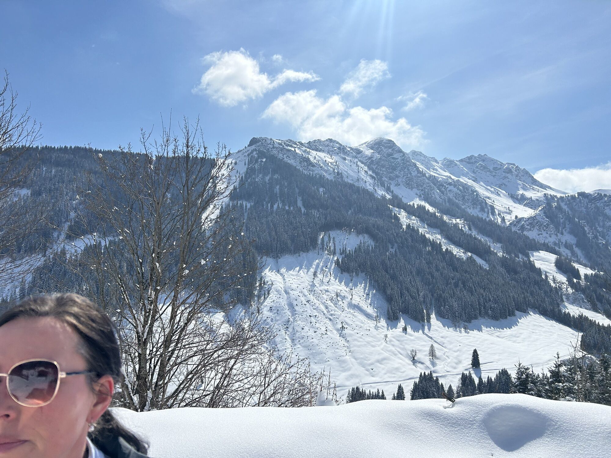
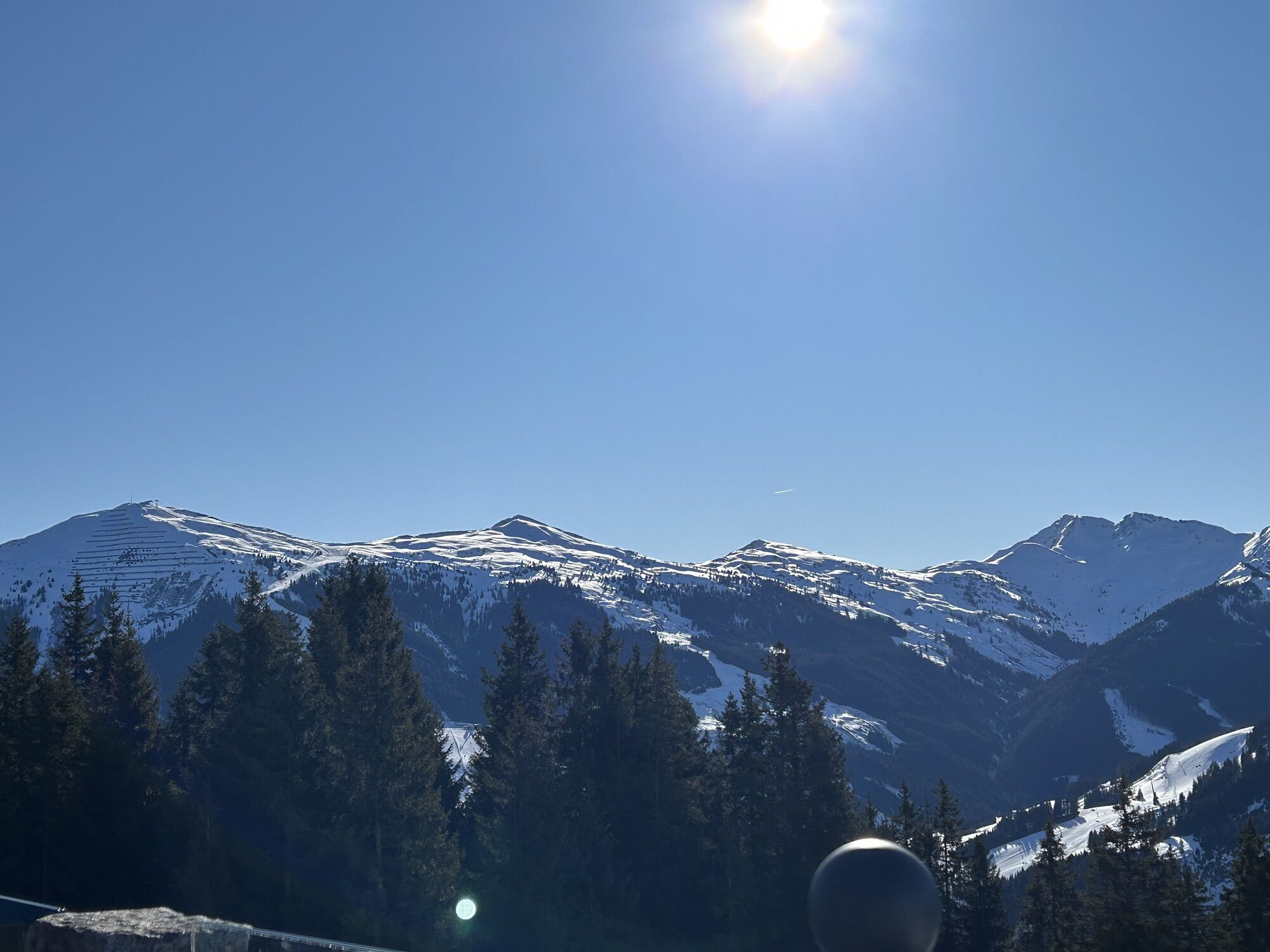
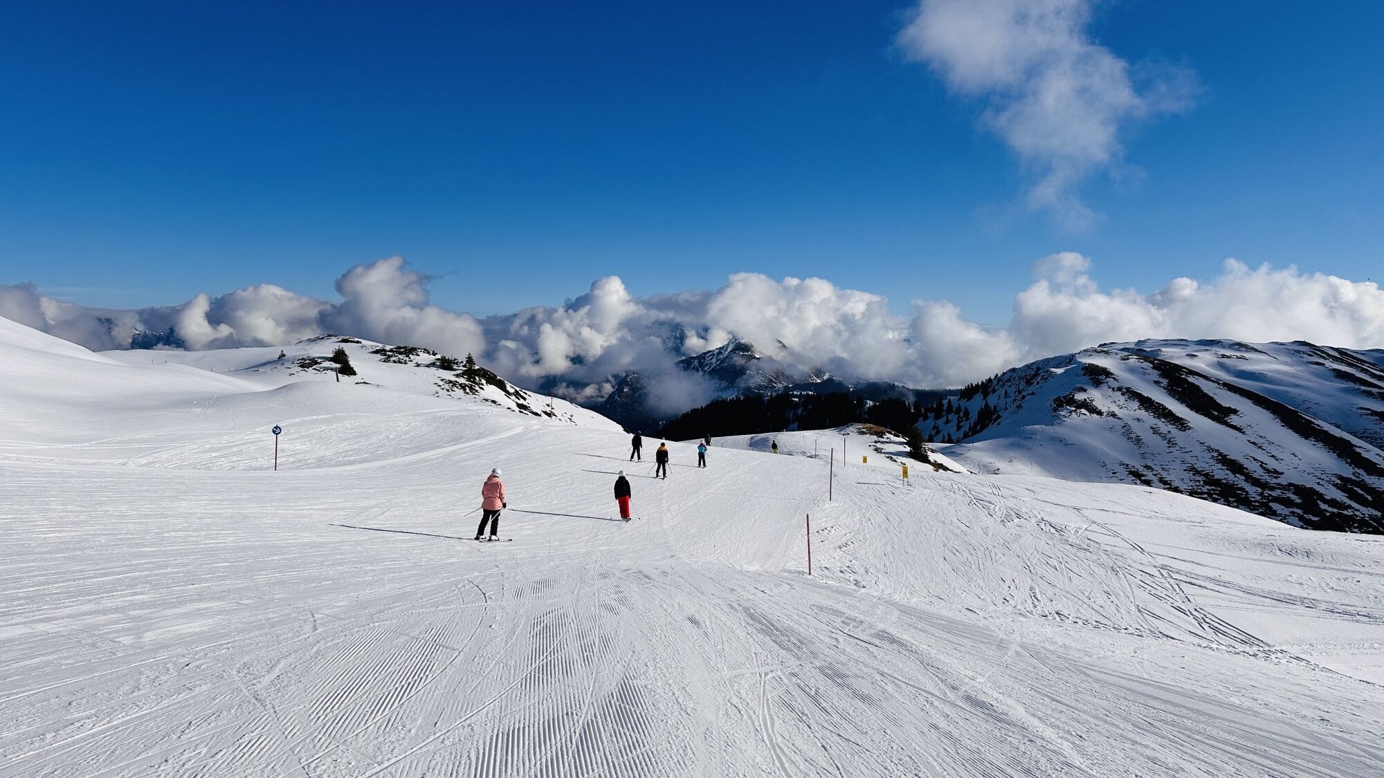
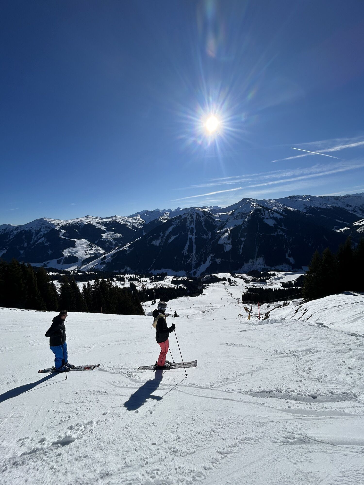
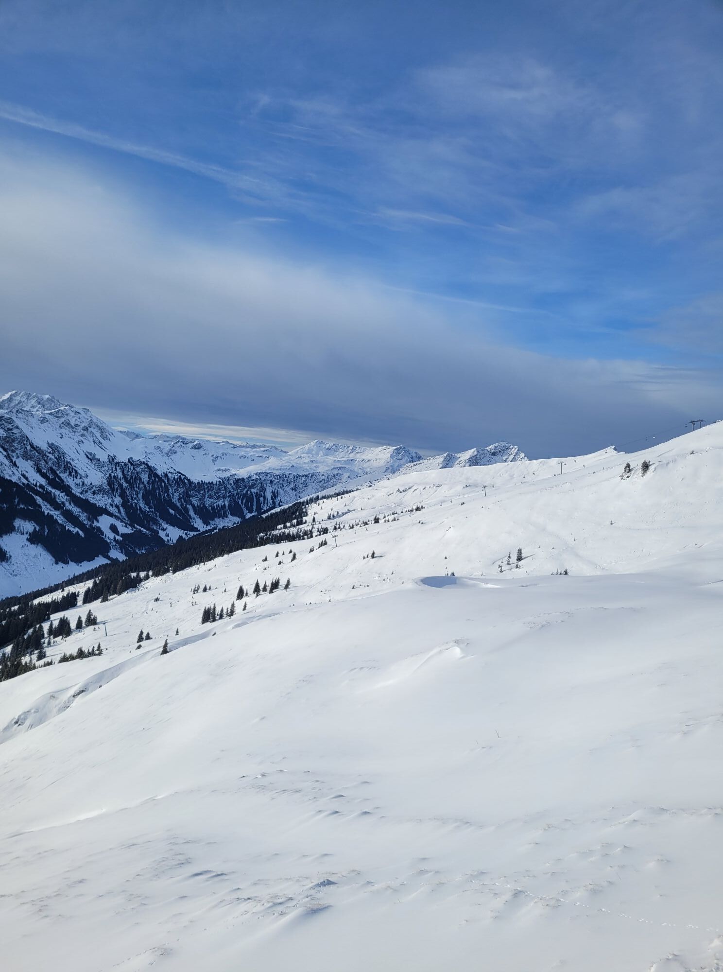
Scenic mountain bike tour with a trail section above the Glemmtal valley end. 

From Maishofen to Hinterglemm. Ascent via the Roßwaldhütte to the Reichkendlkopf. Descent via the ridge trail, a beginner-friendly trail, and a forest road to Lengau. Return via the Glemmtal valley. 

Charakter trasy
Próba
Technologia
2 / 6
Stan
4 / 6
Krajobraz
4 / 6
Doświadczenie
5 / 6
Najlepsza pora roku
Sty
Lut
Mar
Kwi
Maj
Cze
Lip
Sie
Wrz
Paź
Lis
Gru
Autor
Dostarczone przez Tourismusverband Maishofen
Logo
Udostępnij trasę
Mapa
Hochalm Panorama Loop
średni
Mountainbike
59,07 km
Błąd
Wystąpił błąd. Spróbuj ponownie.
Ostatnio śledzony 4 tygodnie temu
Informacje o trasie
Trasa

Exposed to the sun on south-facing slopes except for short sections. Ascent is partly somewhat steeper but always rideable. Public road, asphalt, gravel, and an easy single trail on the descent. 

Wycieczka na szczyt

Tak

Gondola / kolejka linowa

Tak

Sprzęt
Mountain bike equipment:  Rain jacket (possibly fleece), sufficient liquids, muesli bars, first aid kit, mobile phone,  pump, tire levers, patch kit (possibly spare tube and cable ties), multitool, lighting (you never know if you'll get caught out after dark).
Instrukcje bezpieczeństwa

In the Pinzgau region, there is a strong focus on mountain bikers. Significantly more roads and paths are open than elsewhere. If a route is closed, please strictly observe the riding ban, as it is not meant to spoil our fun but primarily for serious reasons: closed roads and paths are usually unproductive for bikers or dangerous, e.g. due to forestry work.

Informacje o przyjeździe
Przybycie

If necessary, from Maishofen via the Glemmtal state road to Hinterglemm to the parking lot of the Zwölferkogelbahn (approx. 14 km)

Parking

Various public parking lots in Maishofen/parking lot at the Zwölferkogelbahn in Hinterglemm

Dodatkowe informacje i wskazówki
Poziom trudności

S1
Dodatkowe informacje

Mountain lifts Saalbach-Hinterglemm: www.saalbach.at/en/summer/mountain-li...

Wskazówki

Those who want to shorten the ascent by just under 500 meters in altitude can take the Reiterkogelbahn lift and reach the Roßwaldhütte via the Wieseralm. 

Wyceny
4,0
5
(0)
4
(2)
3
(0)
2
(0)
1
(0)
1 Komentarz
Awatar z gp1964
gp1964
12. lip. 2026
Hochalmtrail S2 sehr nett. Leider zu kurz!
Pomocny (0) |
Raport
Błąd
Wystąpił błąd. Spróbuj ponownie.
Napisz recenzję

Recenzje pomagają innym użytkownikom wybrać kolejną przygodę. Oceniaj tylko trasę, a nie pogodę lub przekąskę.

Wybierz jedną z gwiazdek, aby ocenić wycieczkę
Zła trasa
Słaba trasa
Przeciętna wycieczka
Dobra wycieczka
Doskonała wycieczka
Wędrówki i tropienie

Wędrówki i tropienie

Pobierz dla iOSPobierz dla systemu Android
Wędrówki i tropienie
Ponad 550.000 propozycji wycieczek, szczegółowe mapy i intuicyjny planer tras sprawiają, że aplikacja jest niezbędna dla wszystkich entuzjastów przyrody.
bergfex