







Rossbrand Circuit Filzmoos (SW01)
Poziom trudności: S1
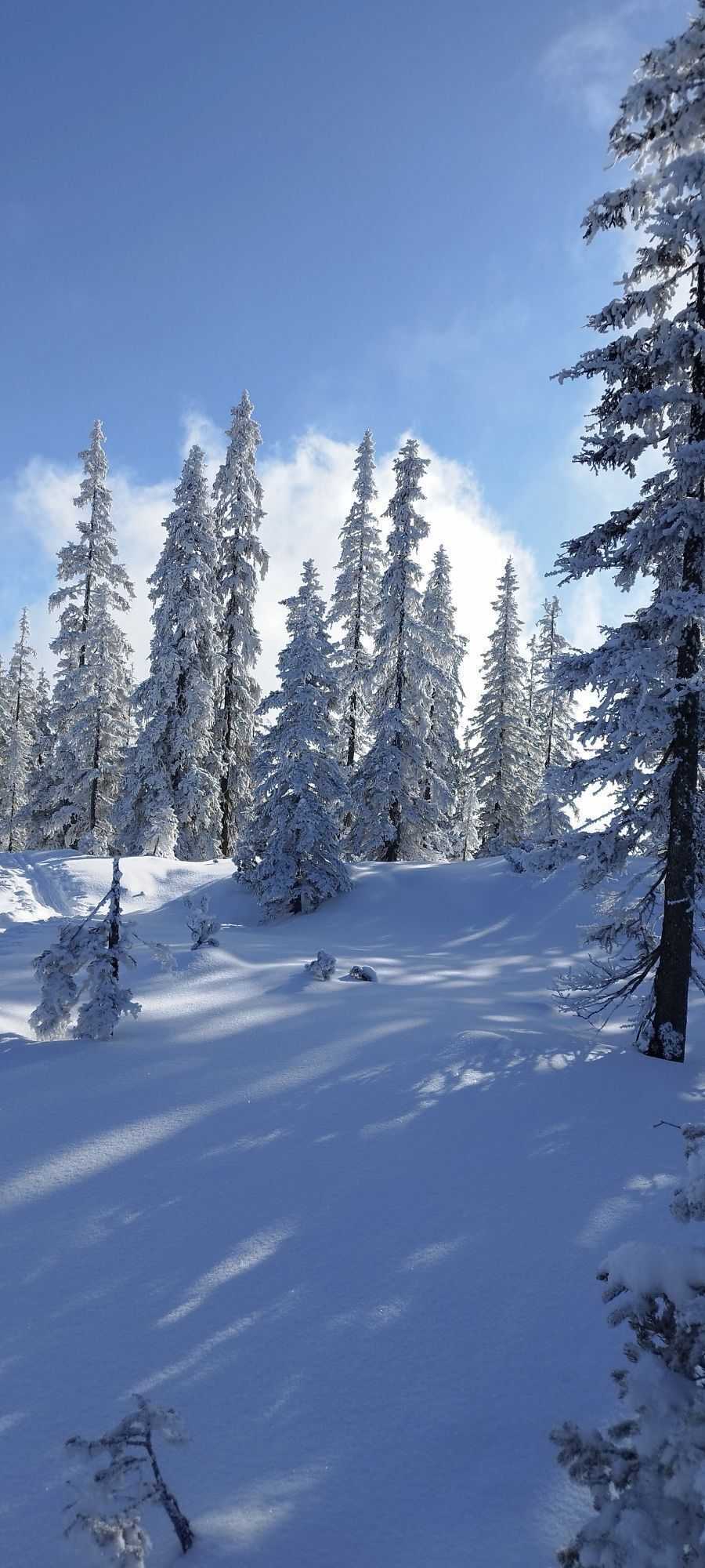
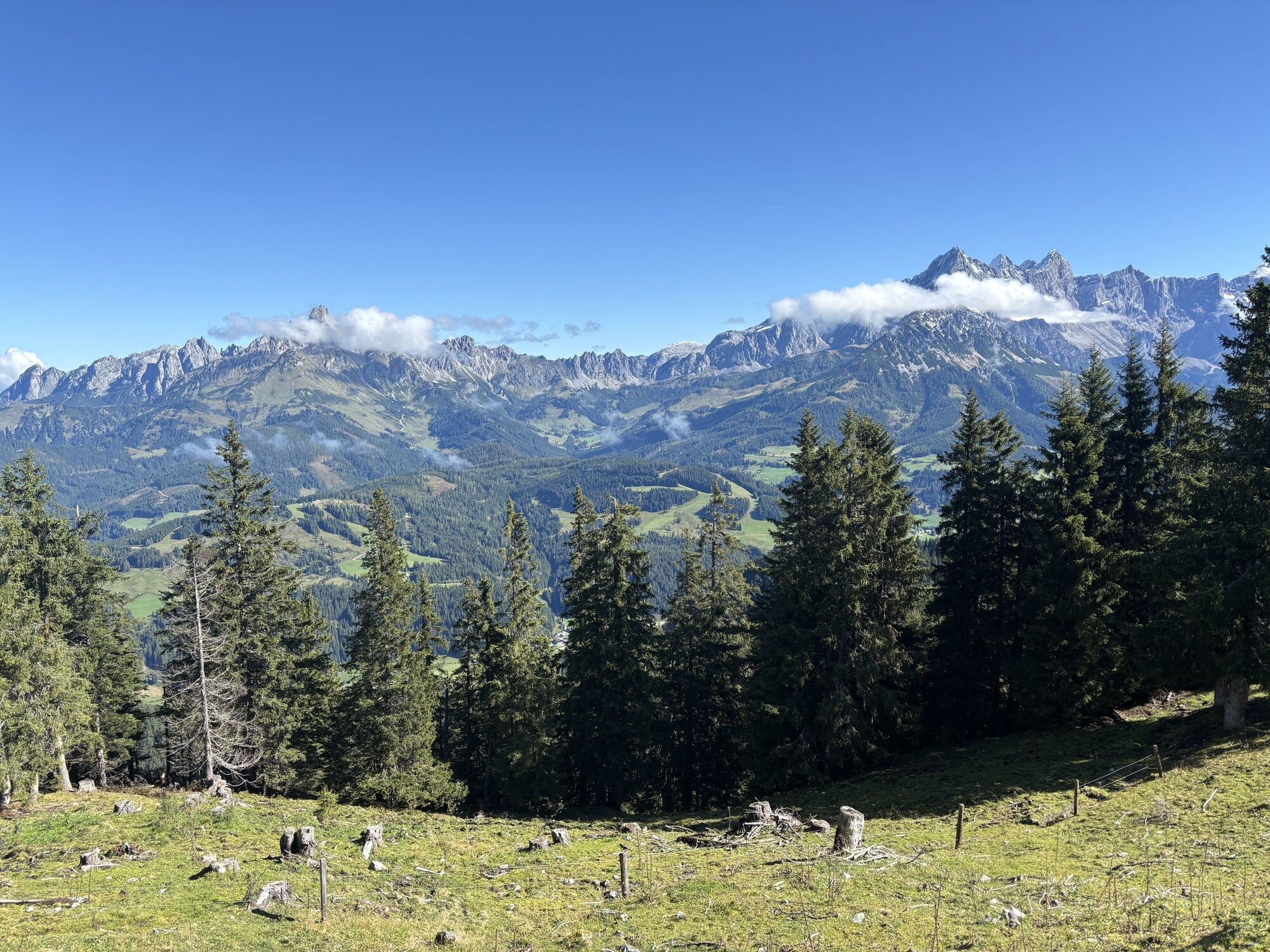
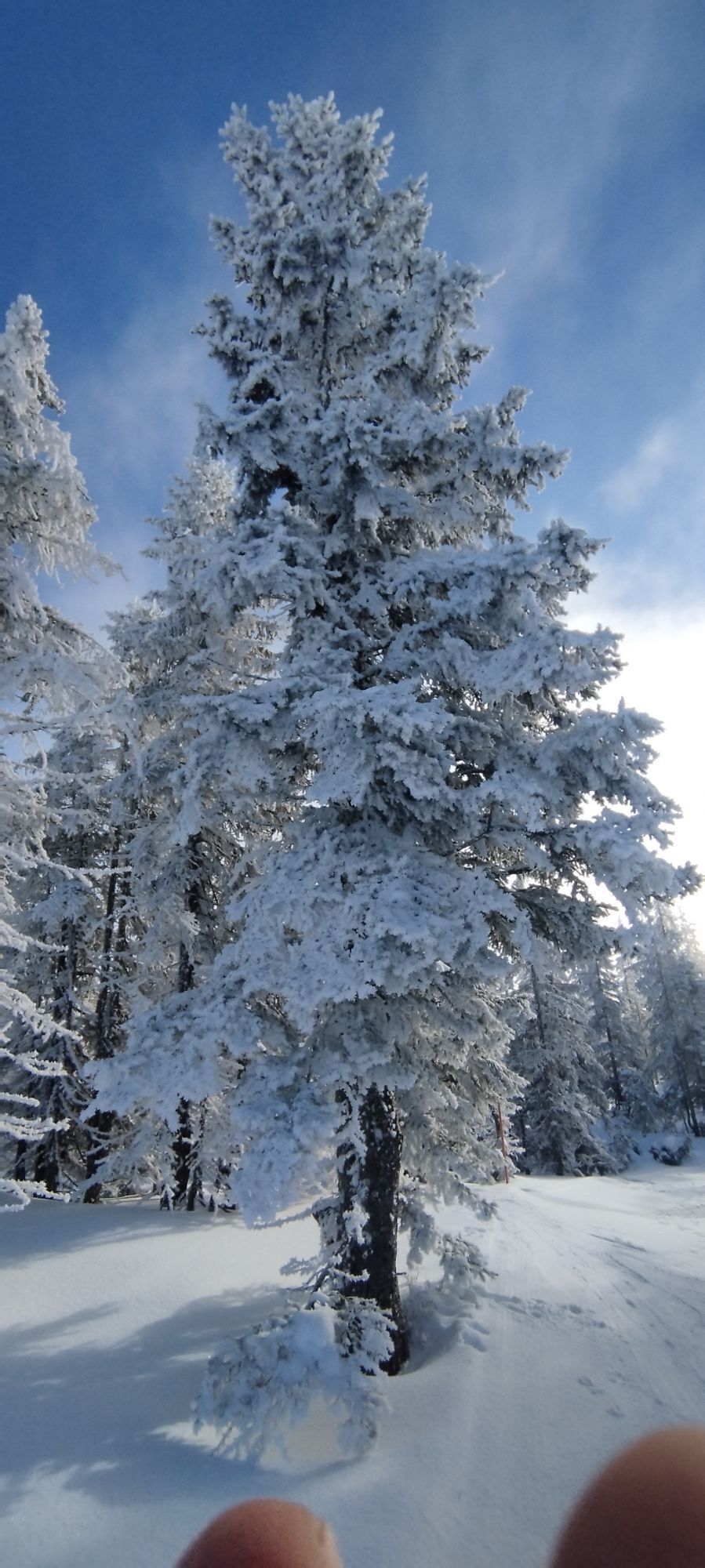
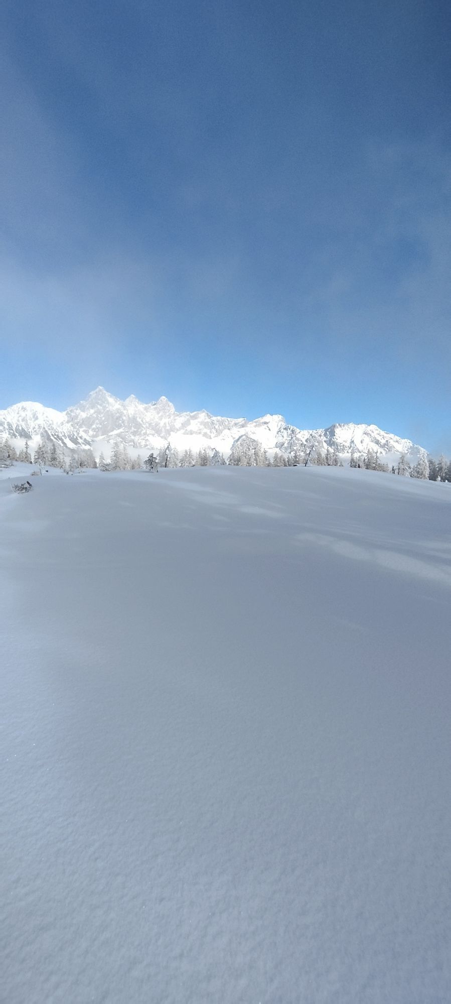
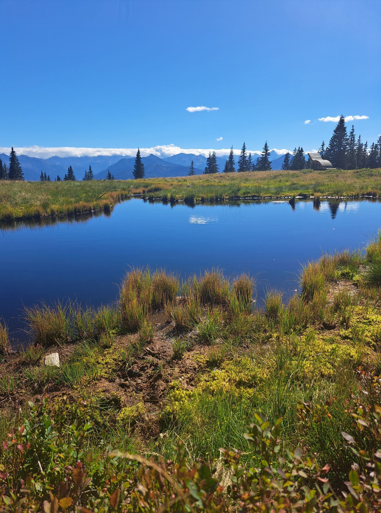
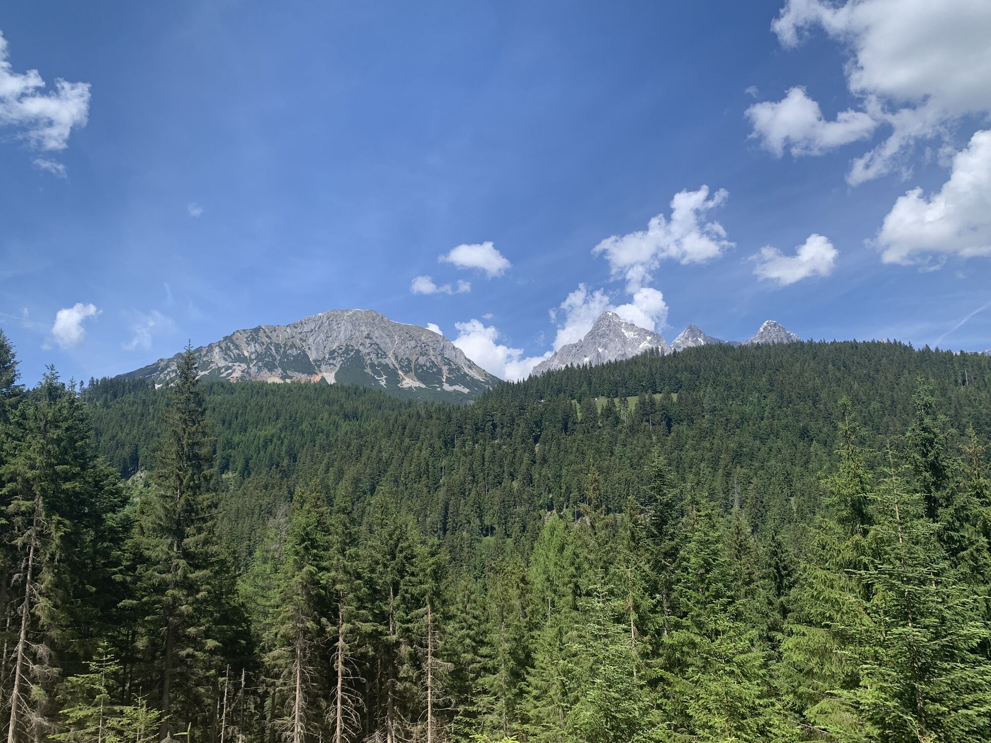
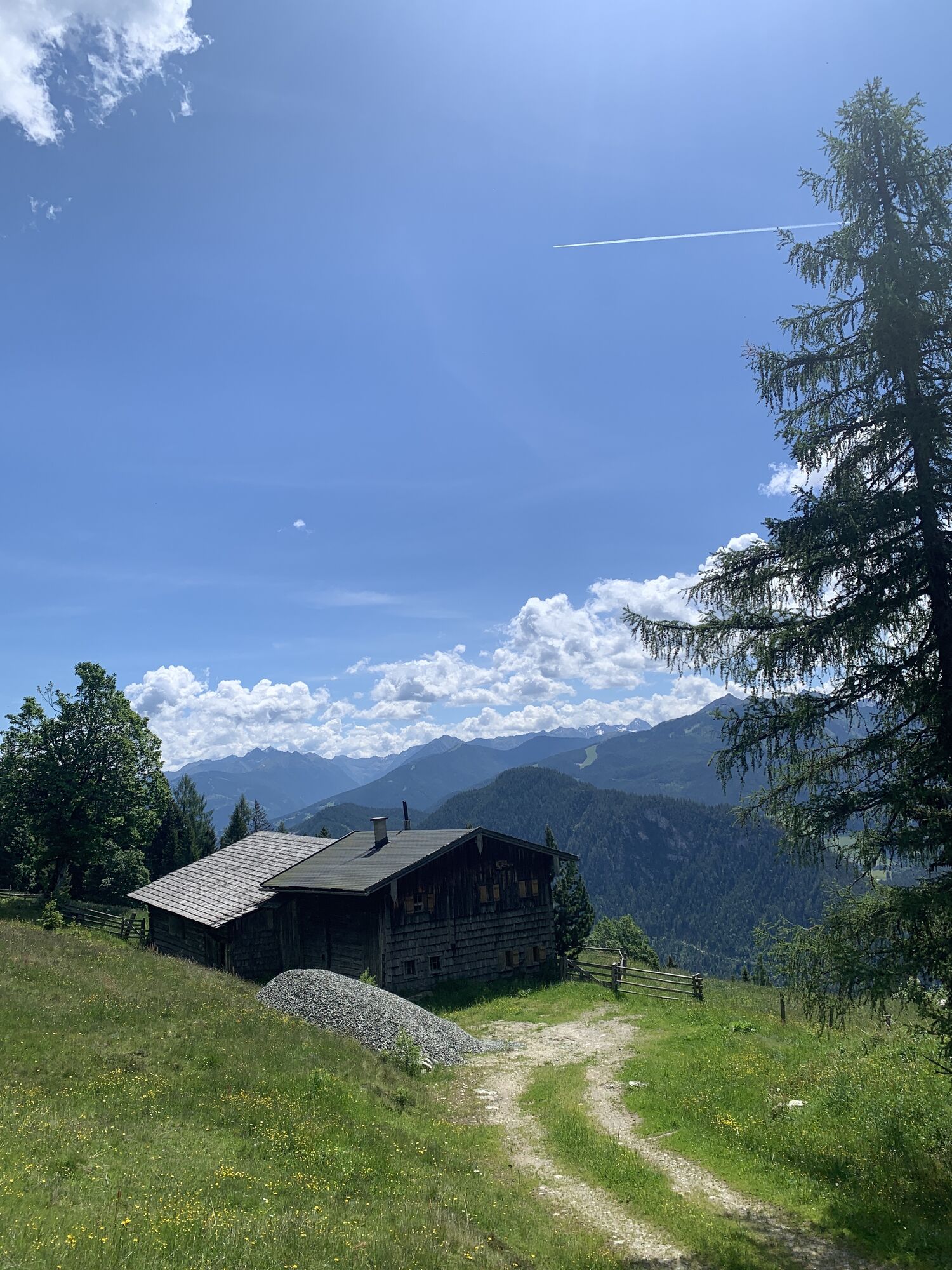
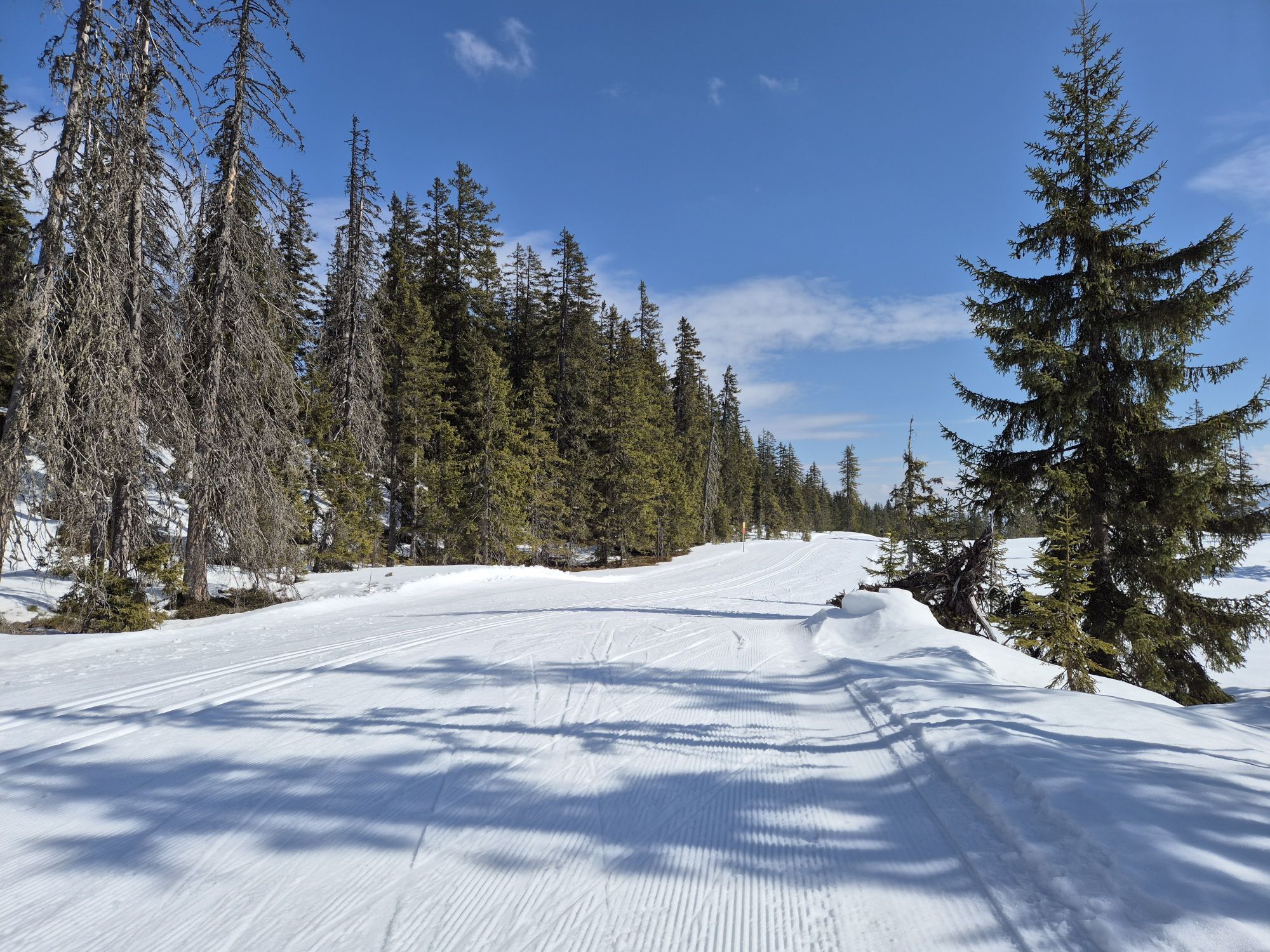
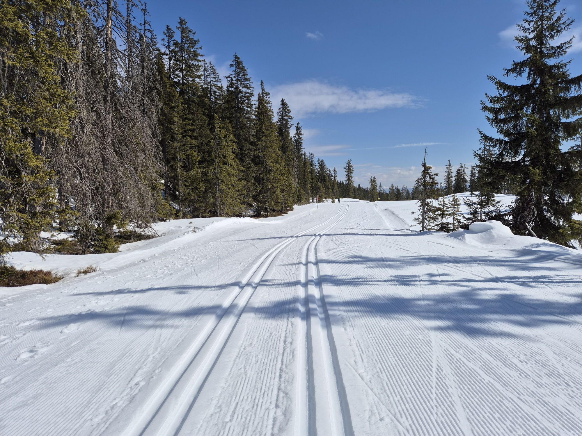
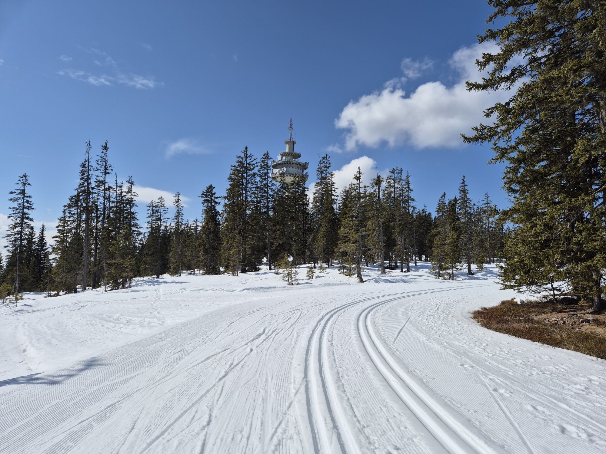
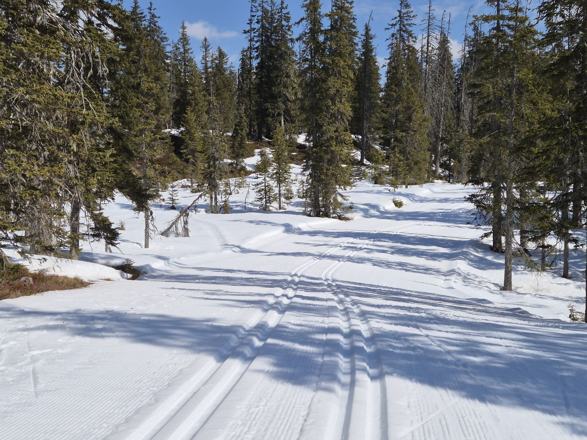
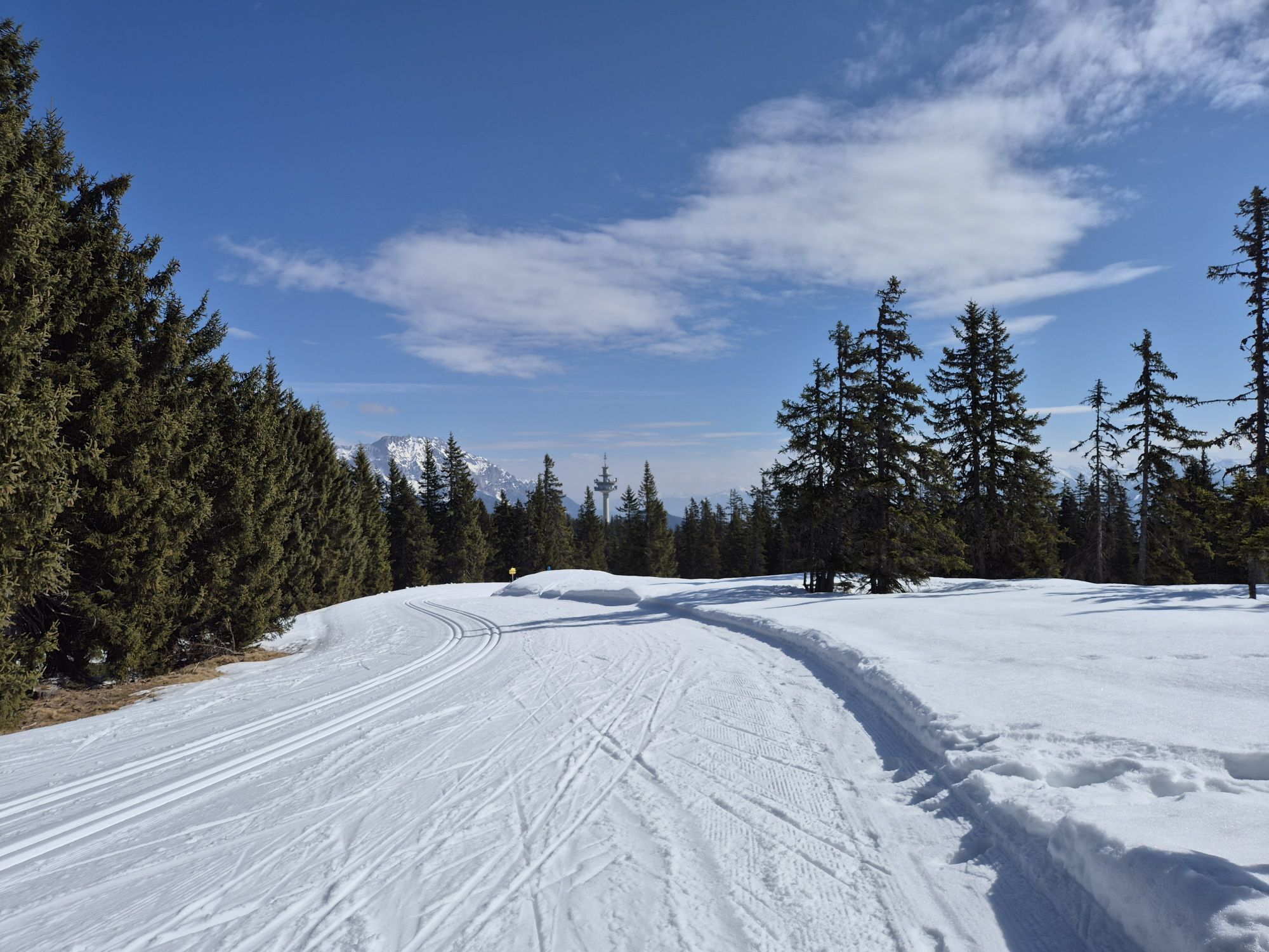
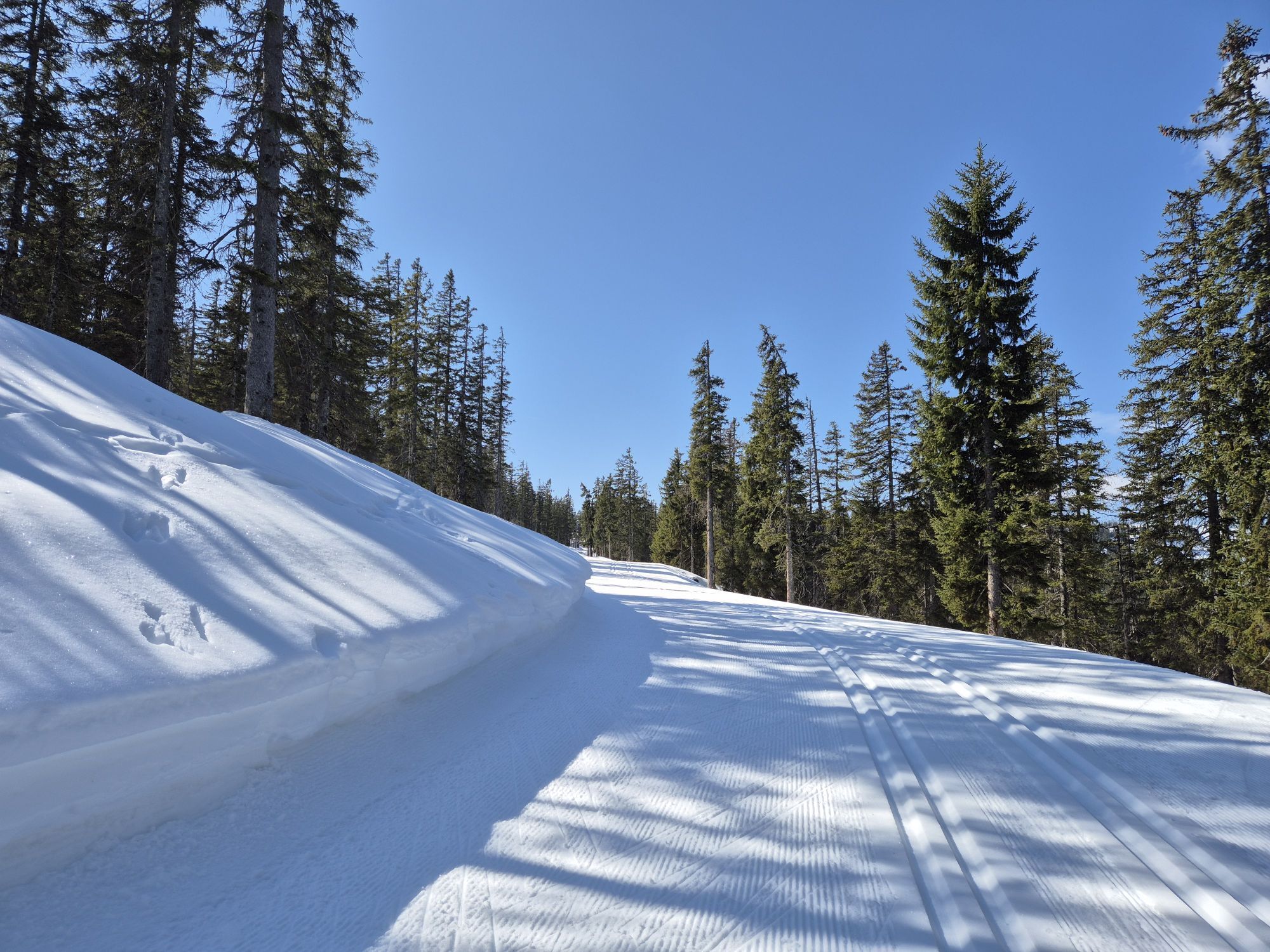
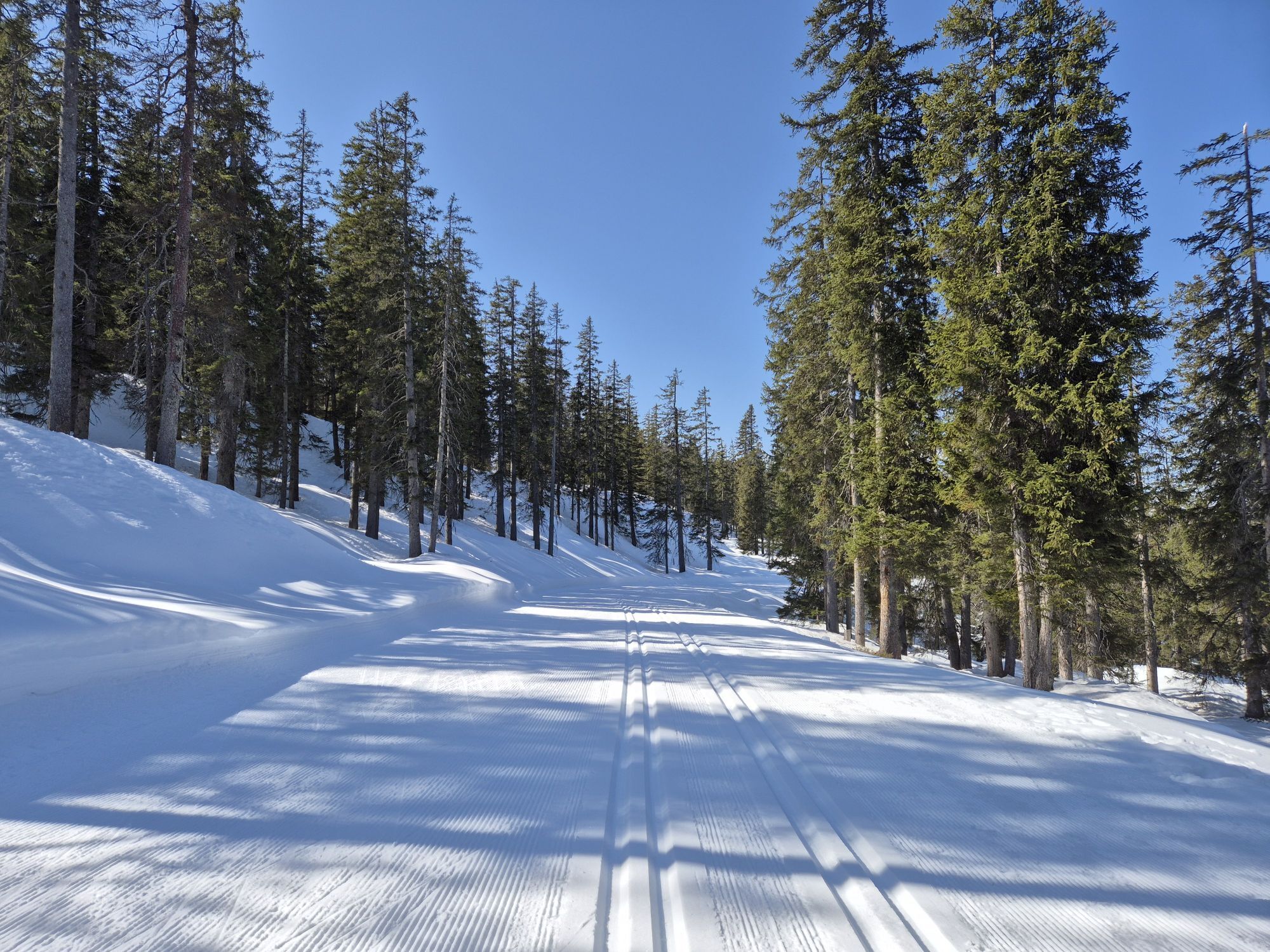
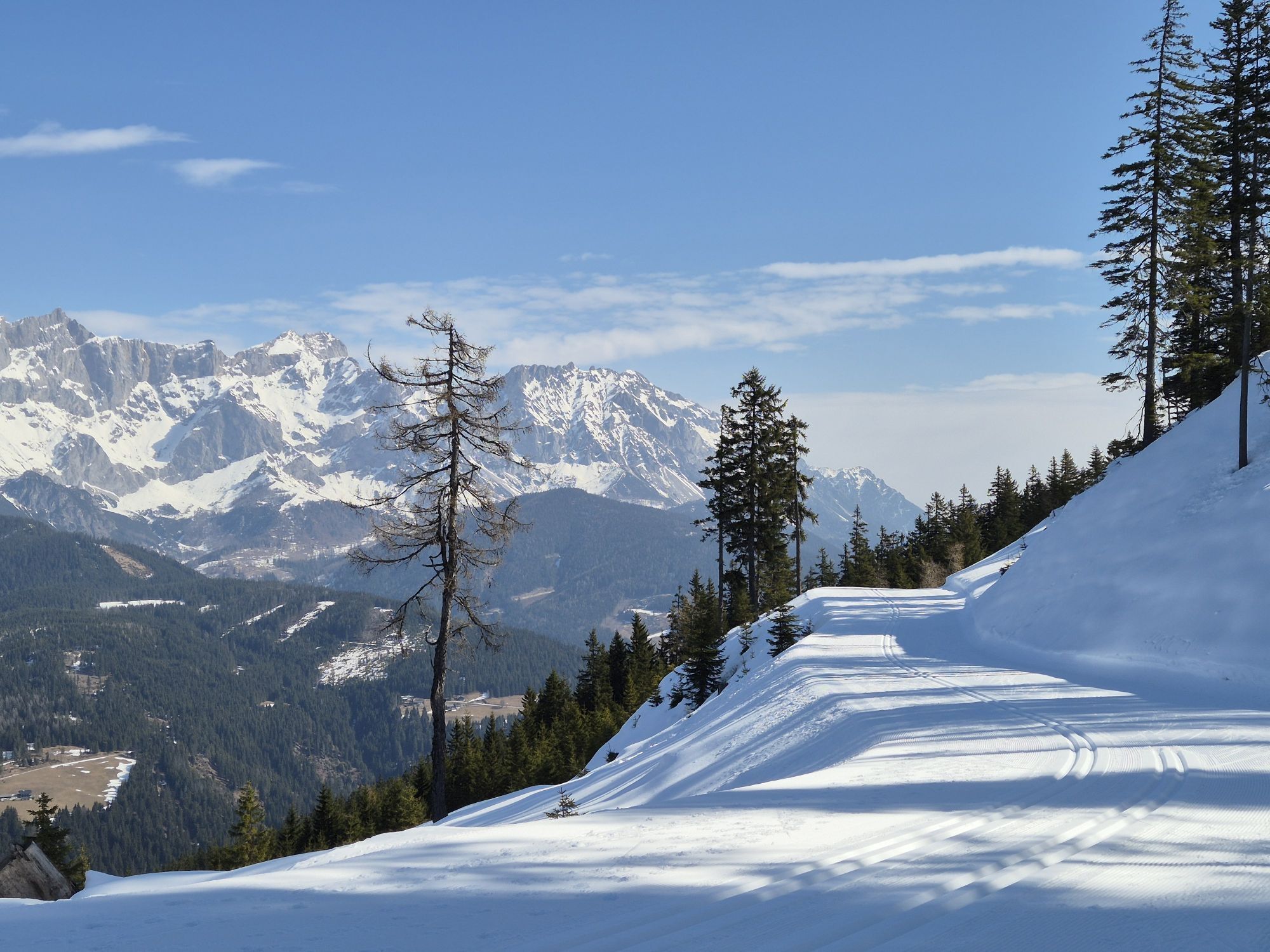
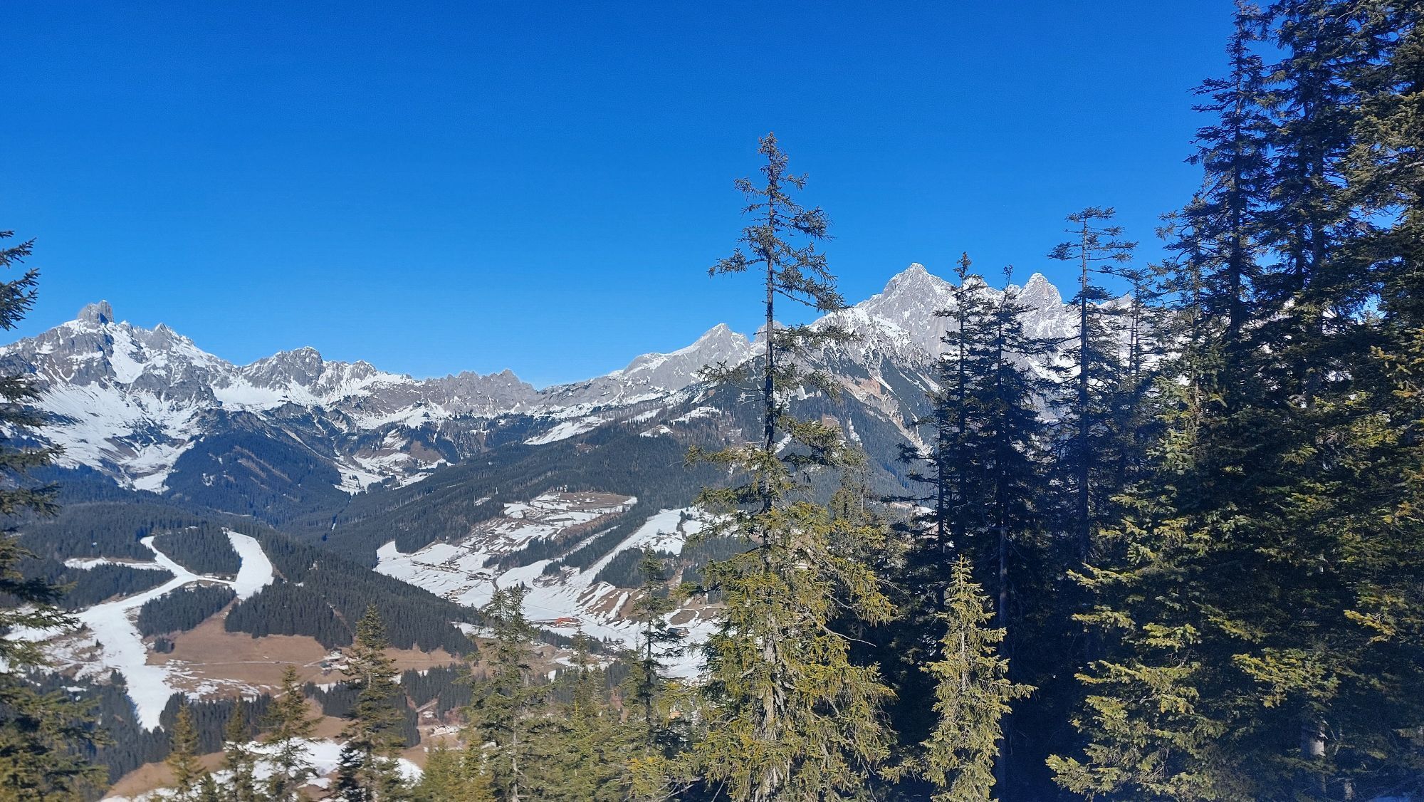
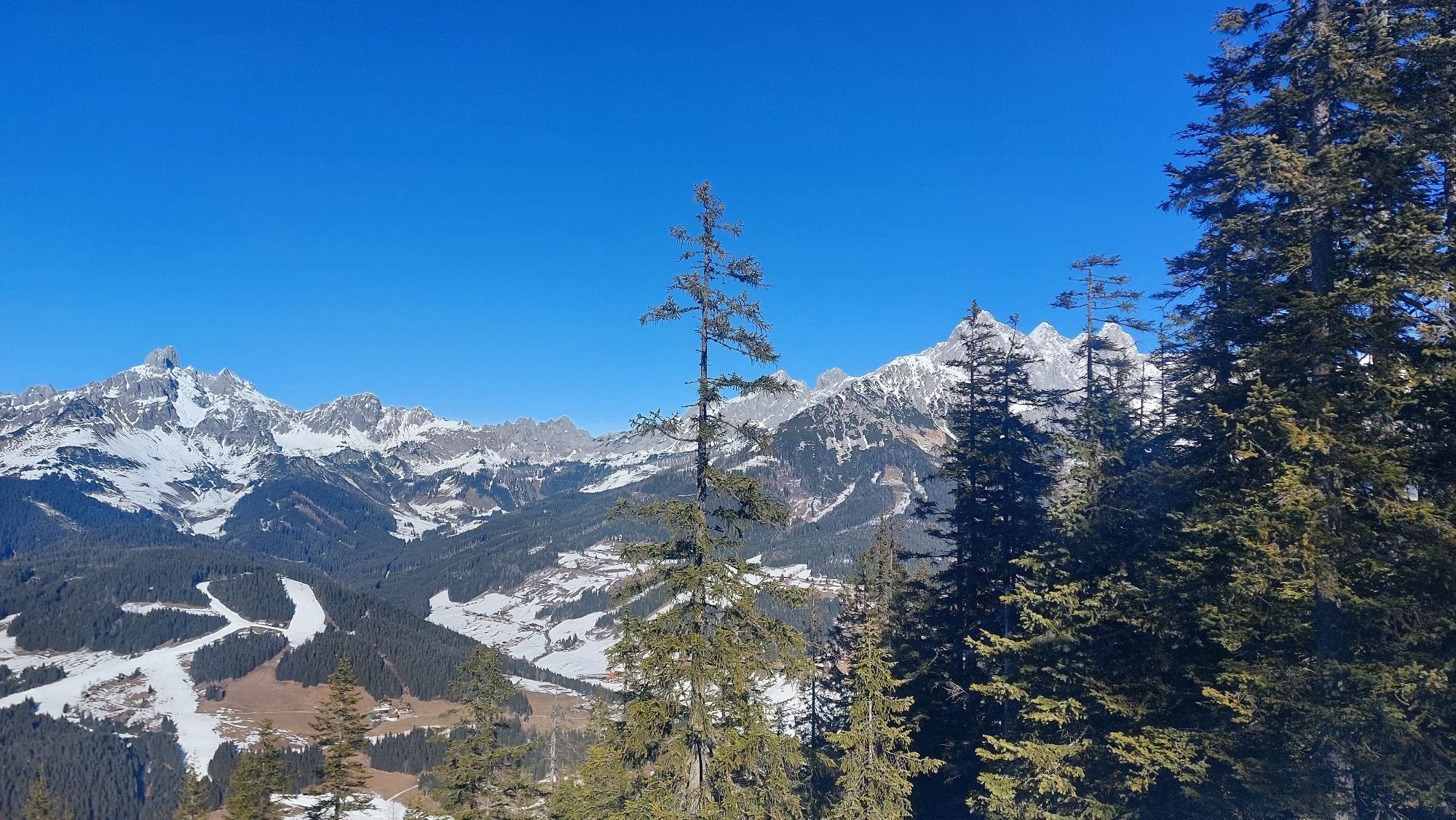
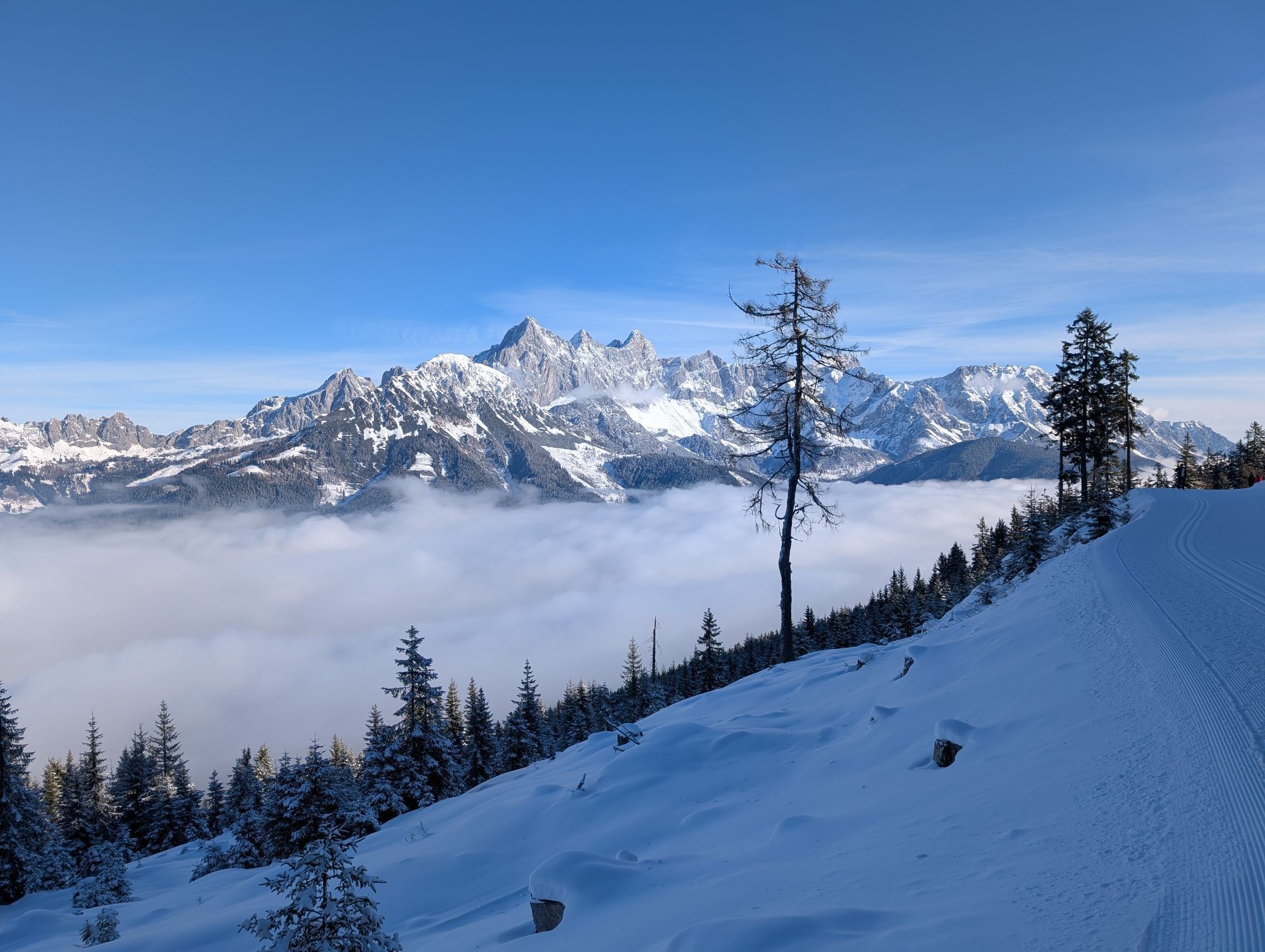
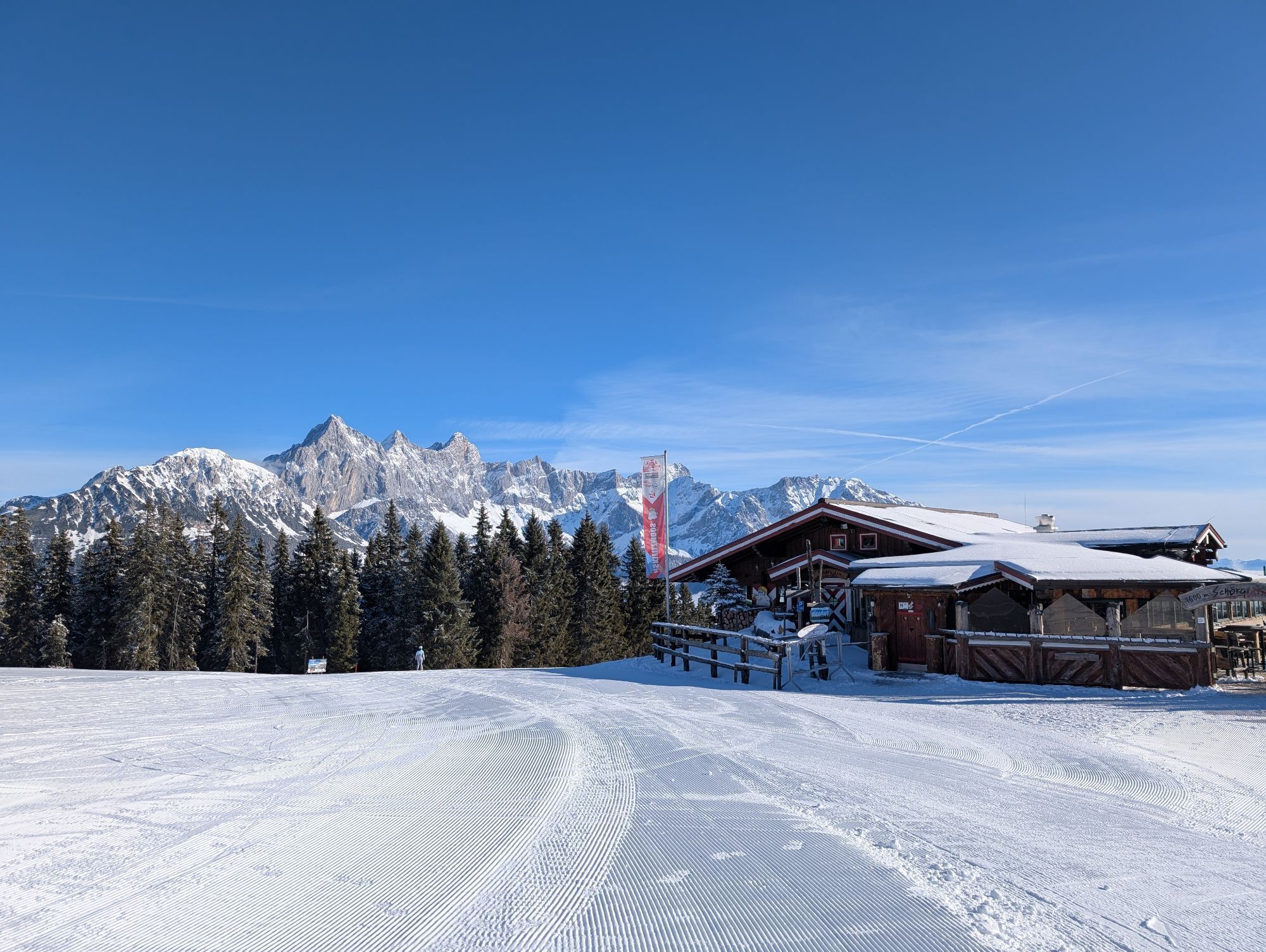
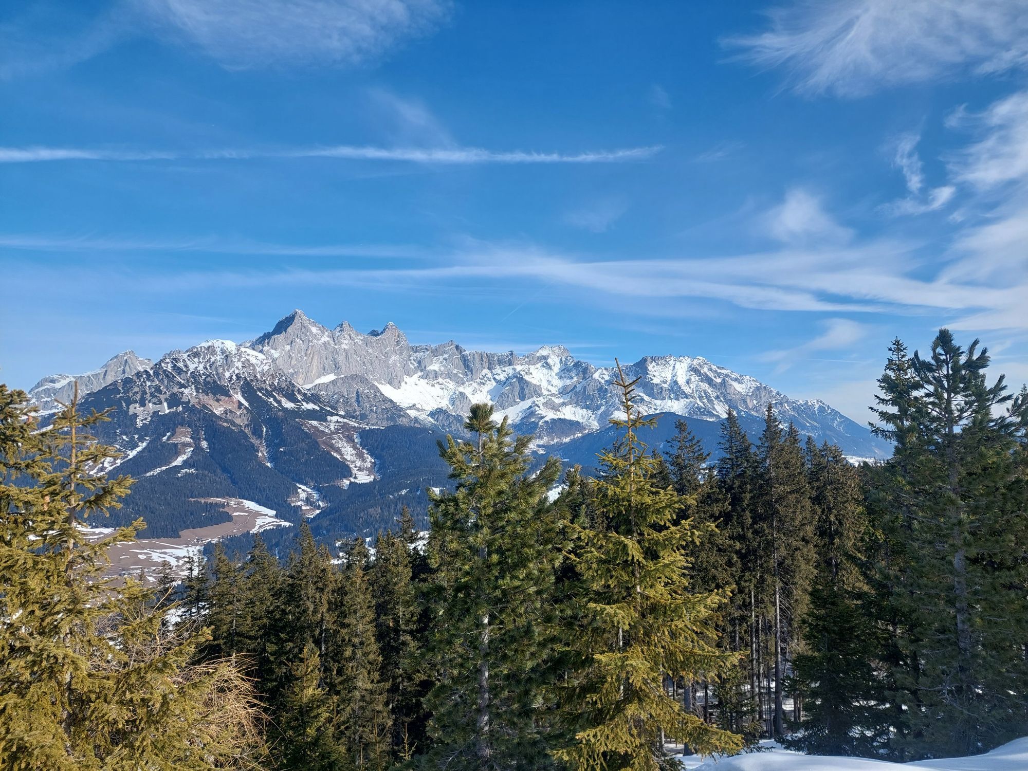
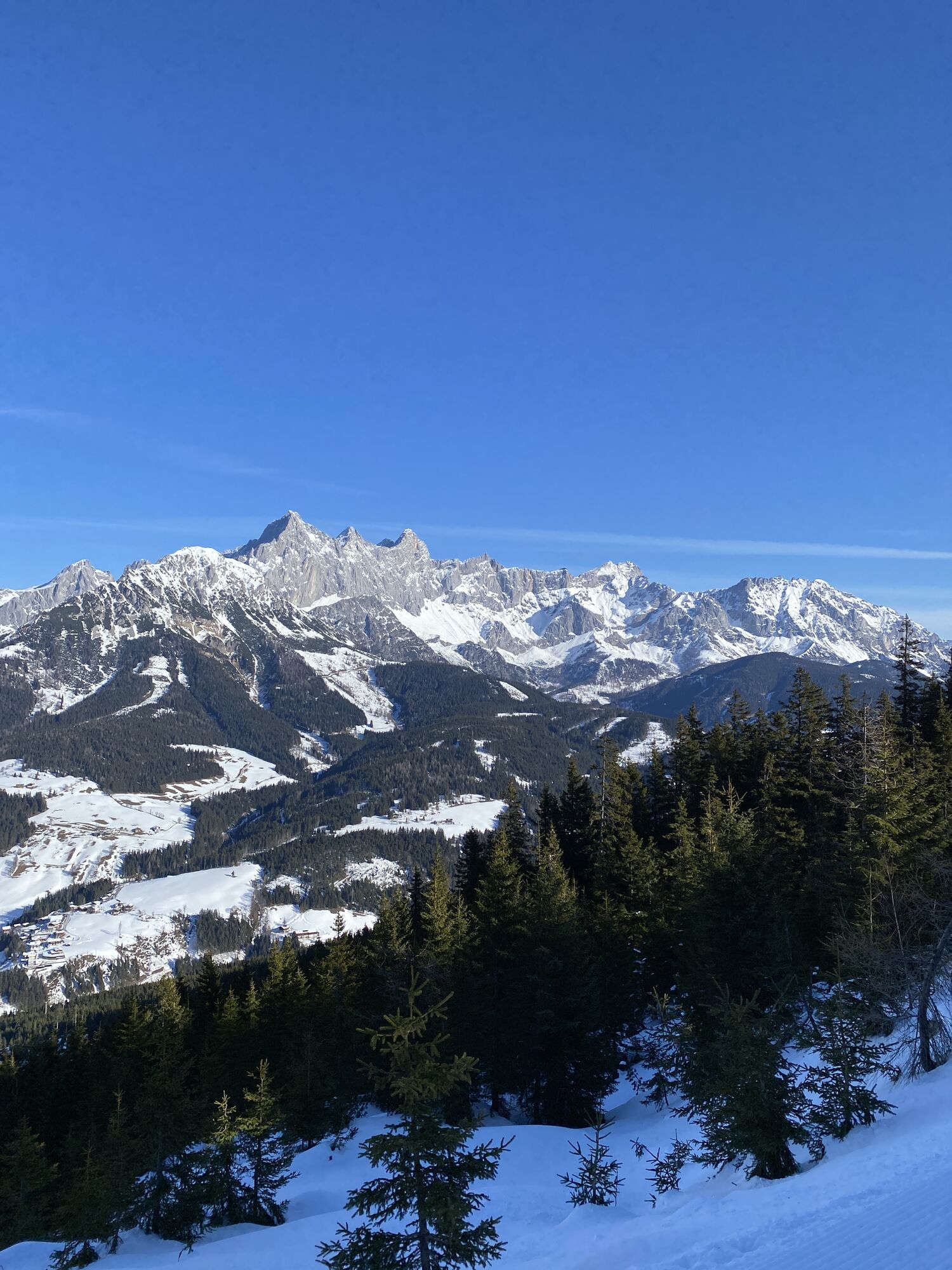
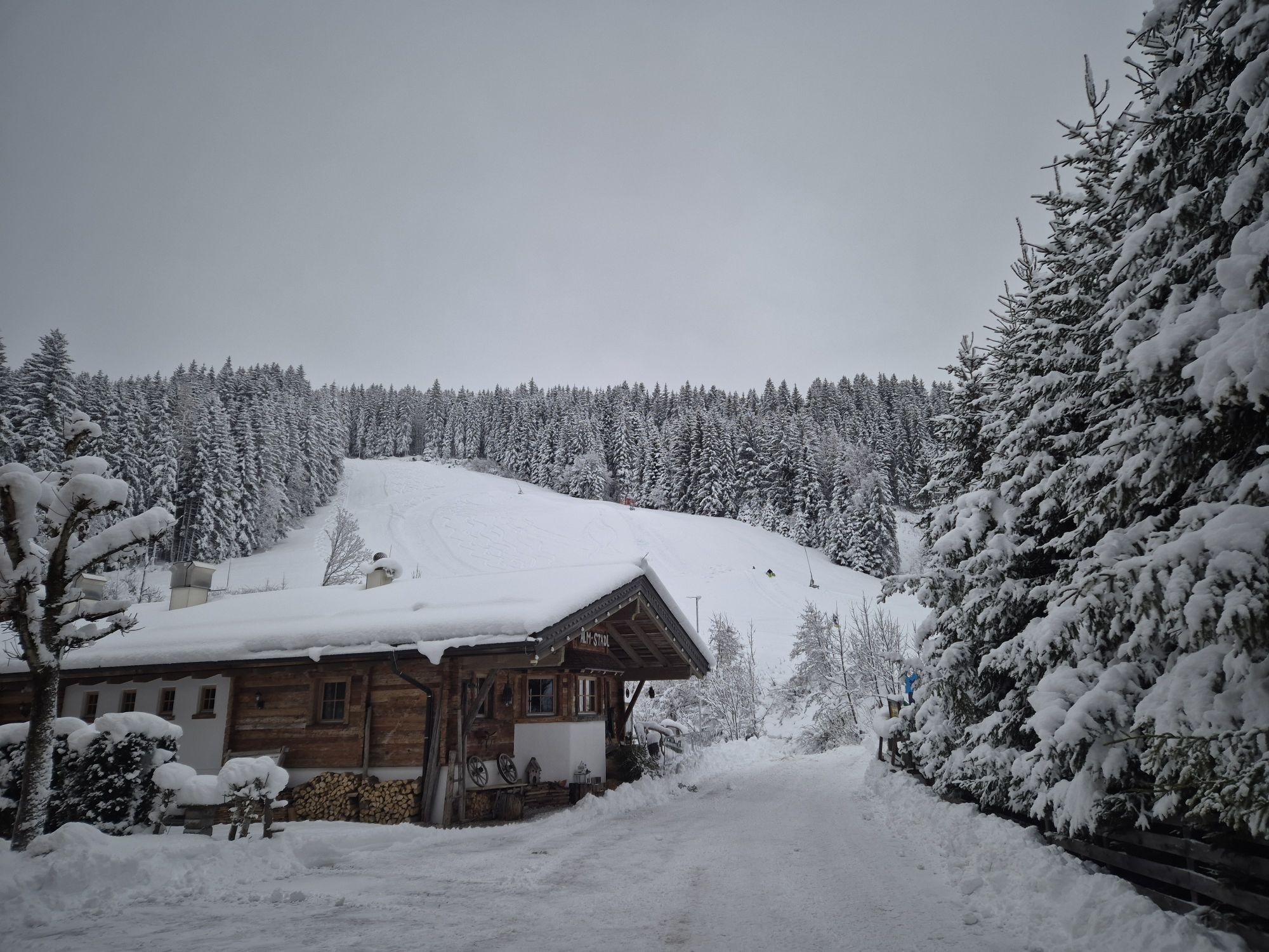
This scenic mountain bike tour starts at the Experience Portal Filzmoos and initially follows the road gently downhill towards Ramsau am Dachstein. After approximately 1.6 kilometres, the route turns right...
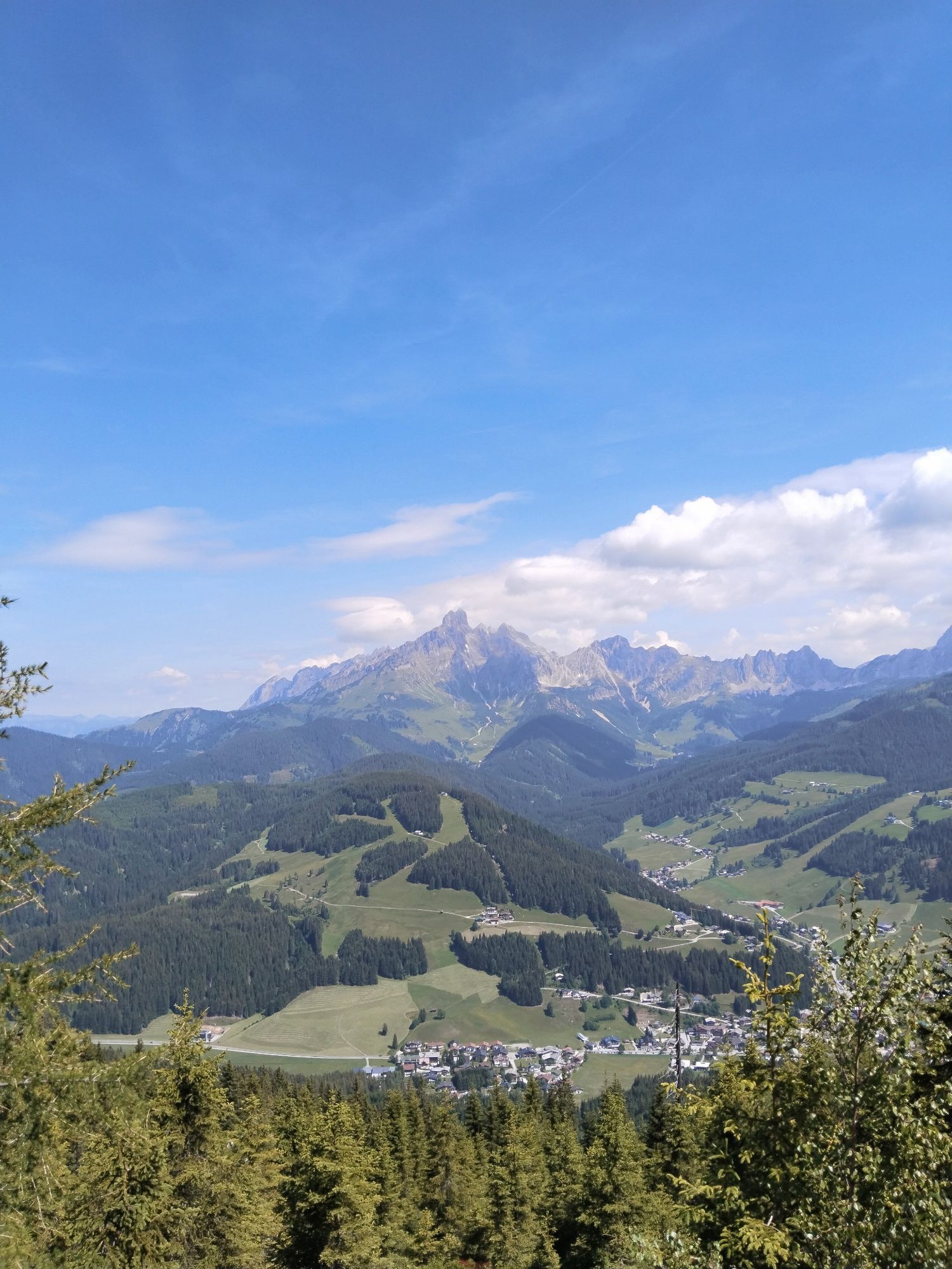
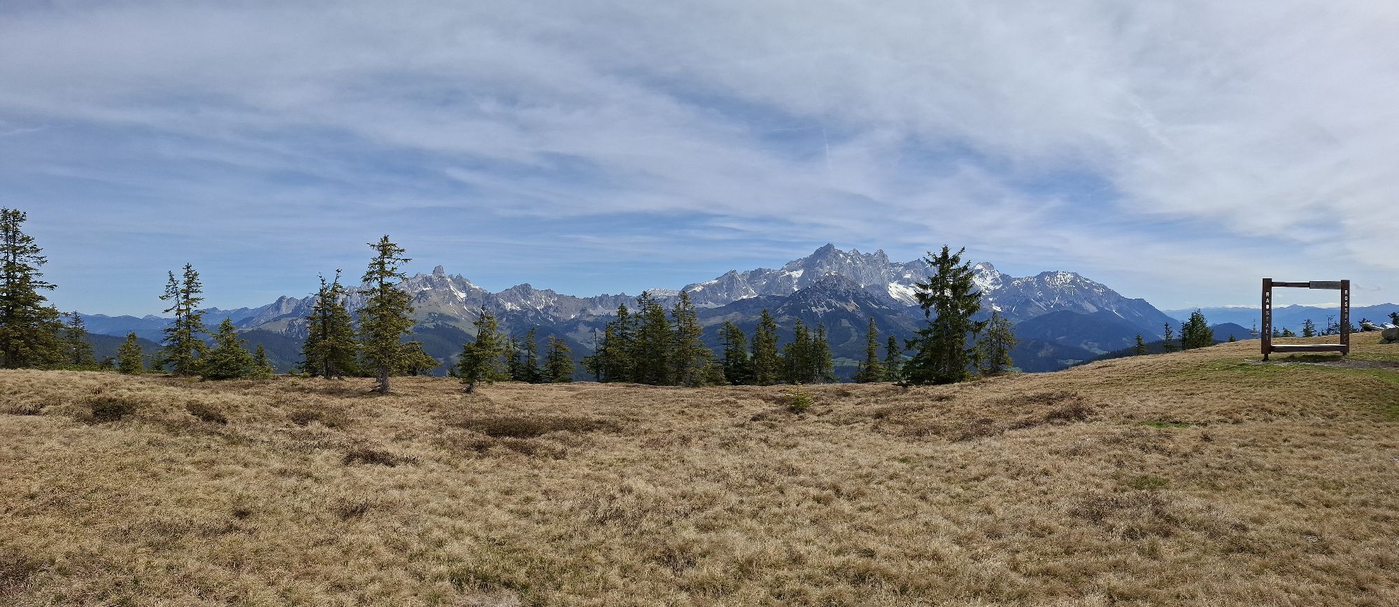
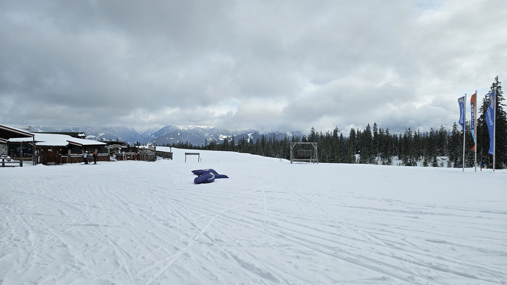
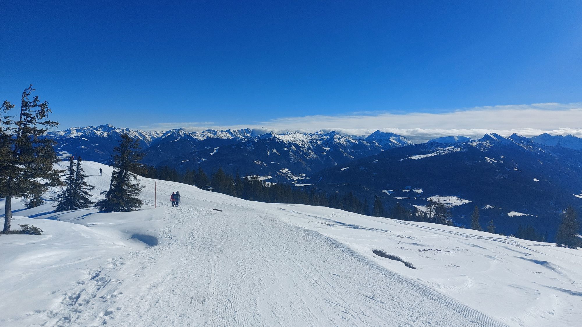
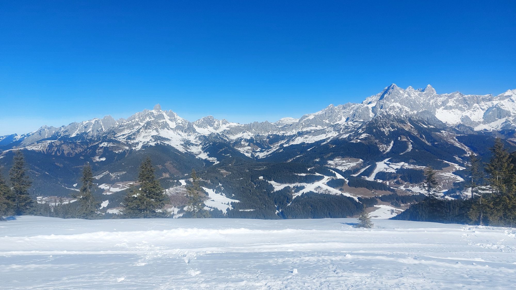
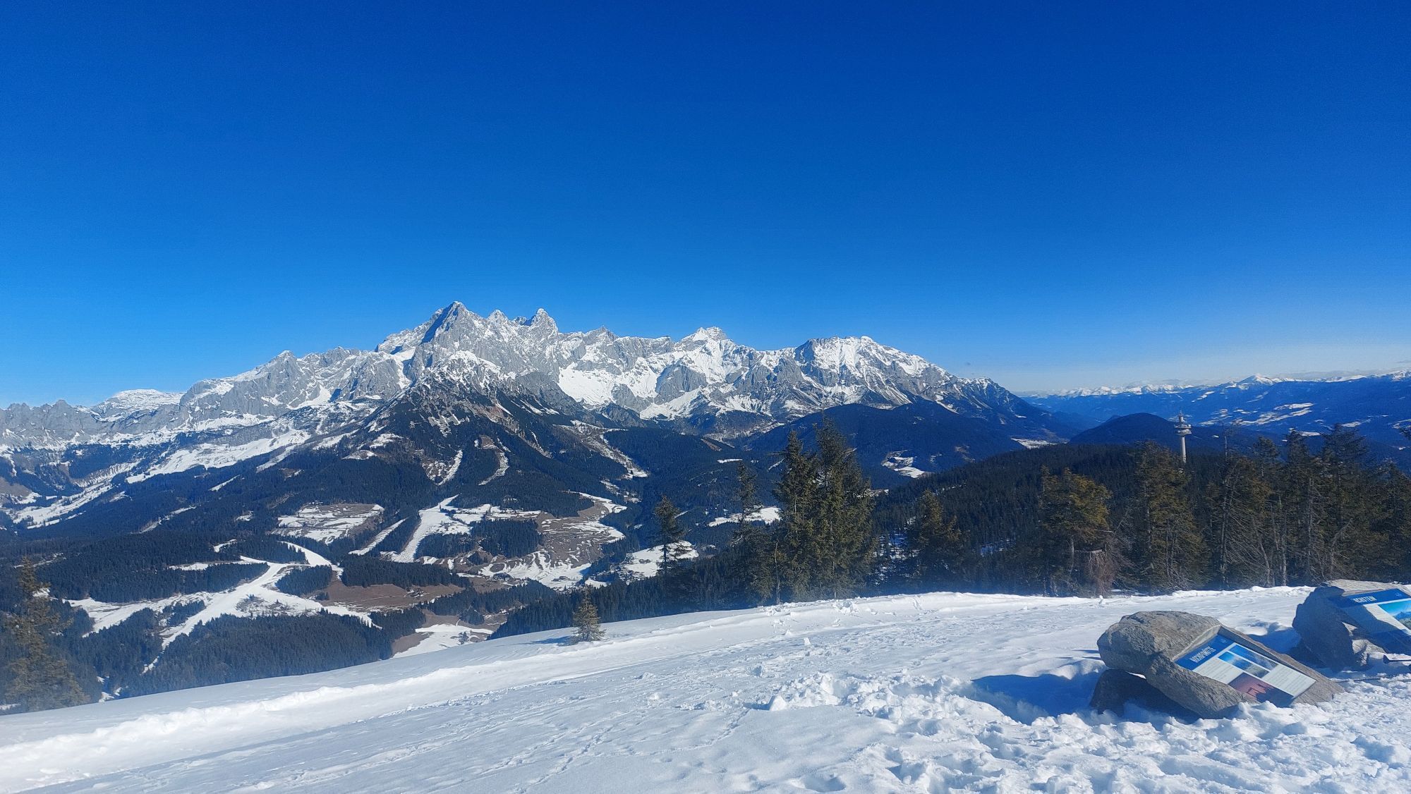
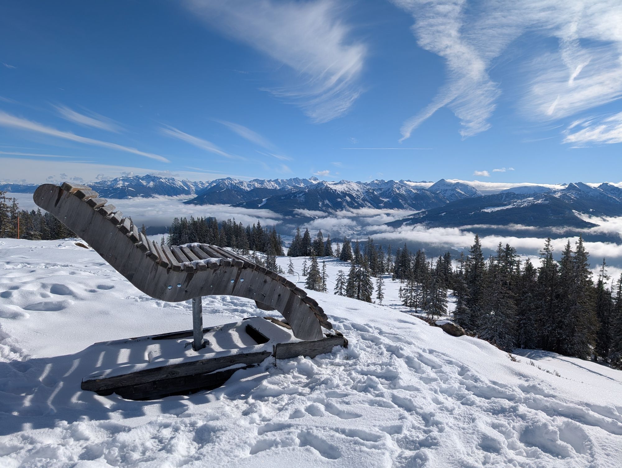
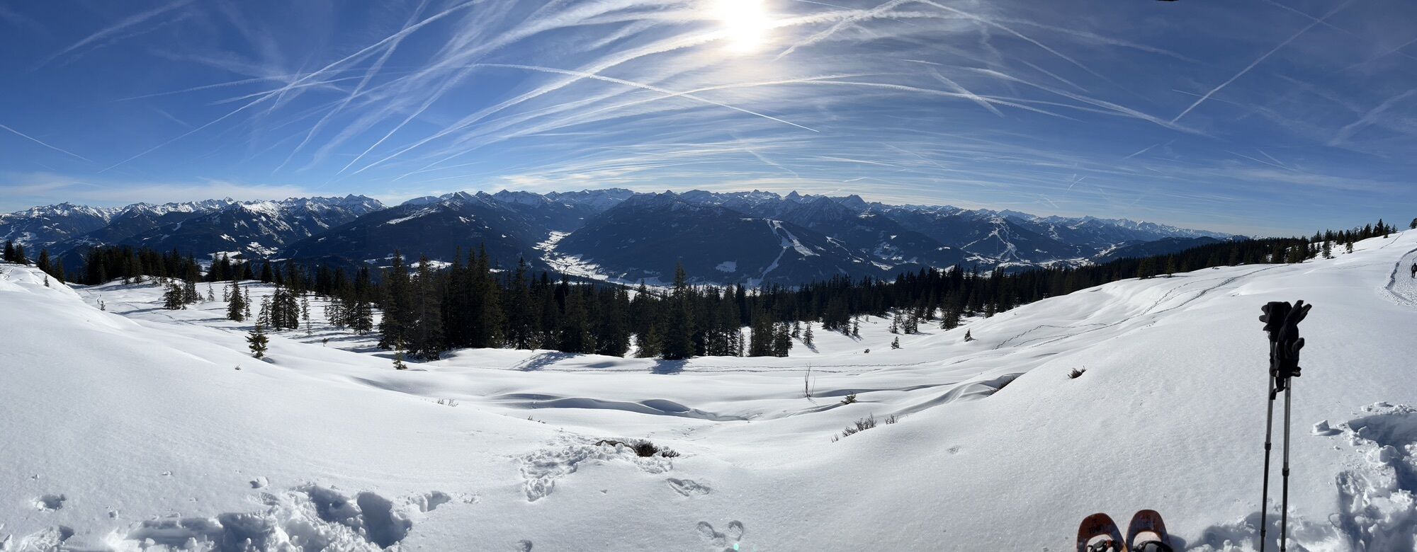
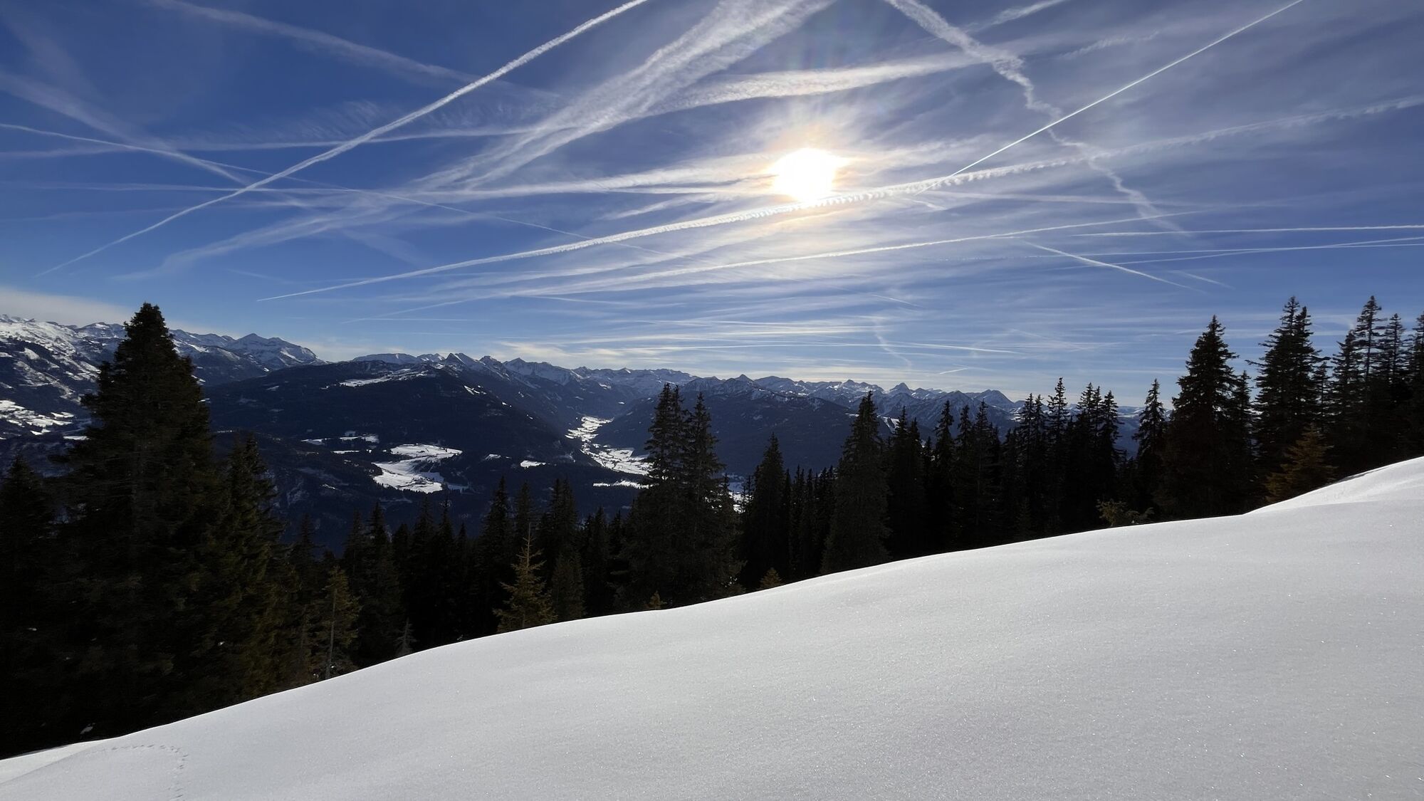
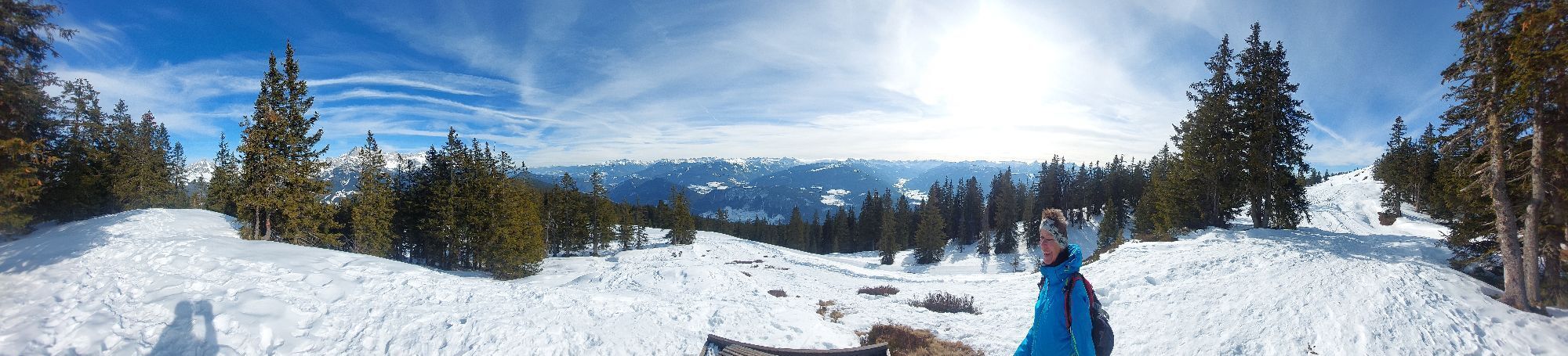
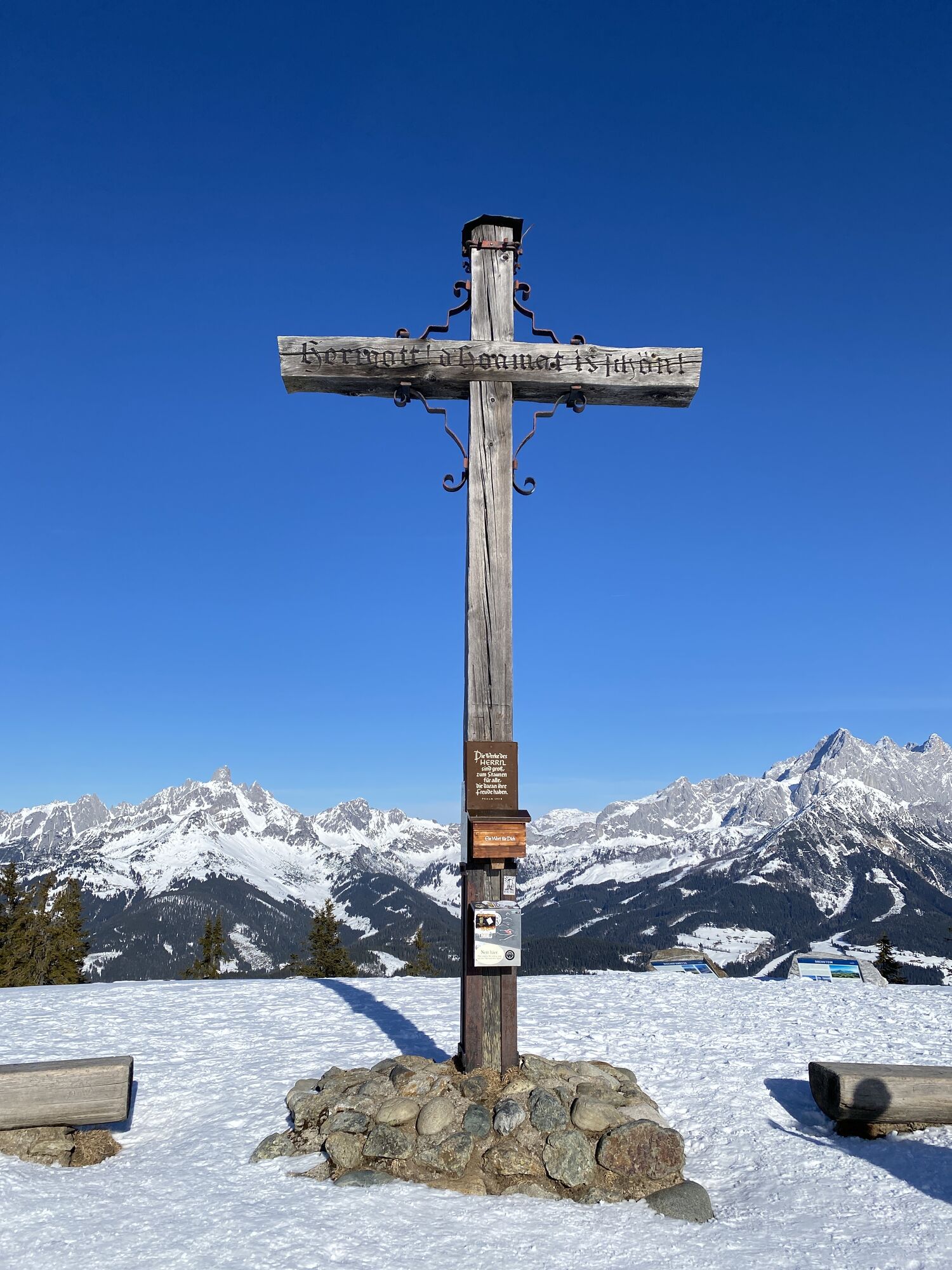
The route then continues westward along the northern side of the ridge. After about 3.5 kilometres, you reach the summit cross on Rossbrand. Here, cyclists are rewarded with a spectacular 360-degree panorama of the surrounding mountain ranges. For refreshments and a well-deserved break, both the Karhütte and the Radstädter Hütte offer welcoming places to stop.
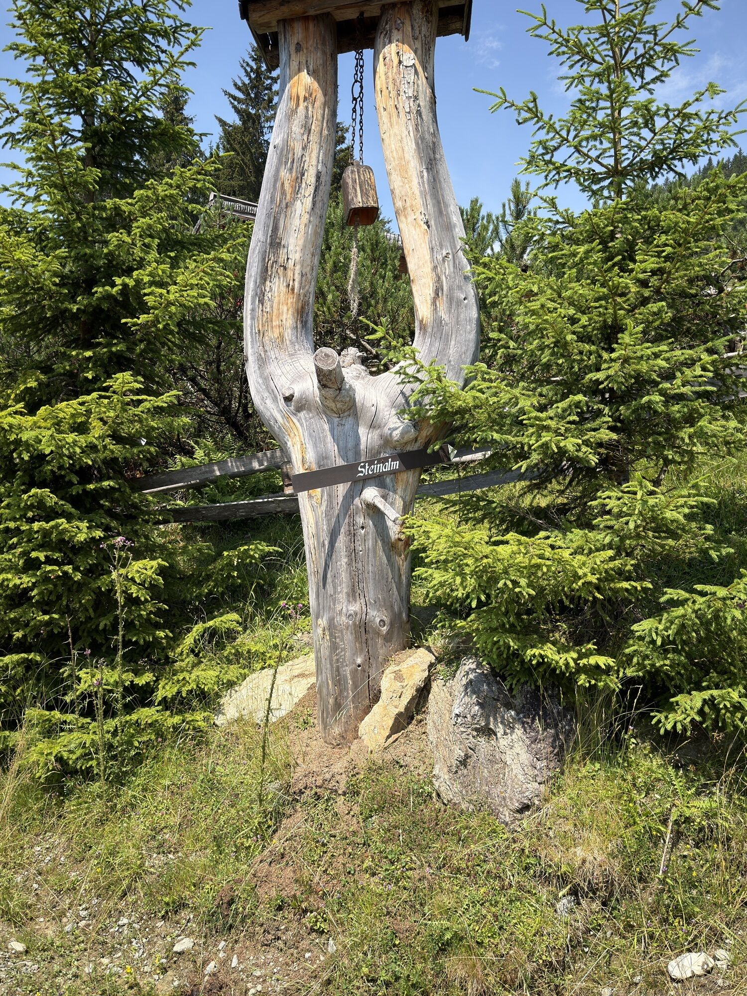
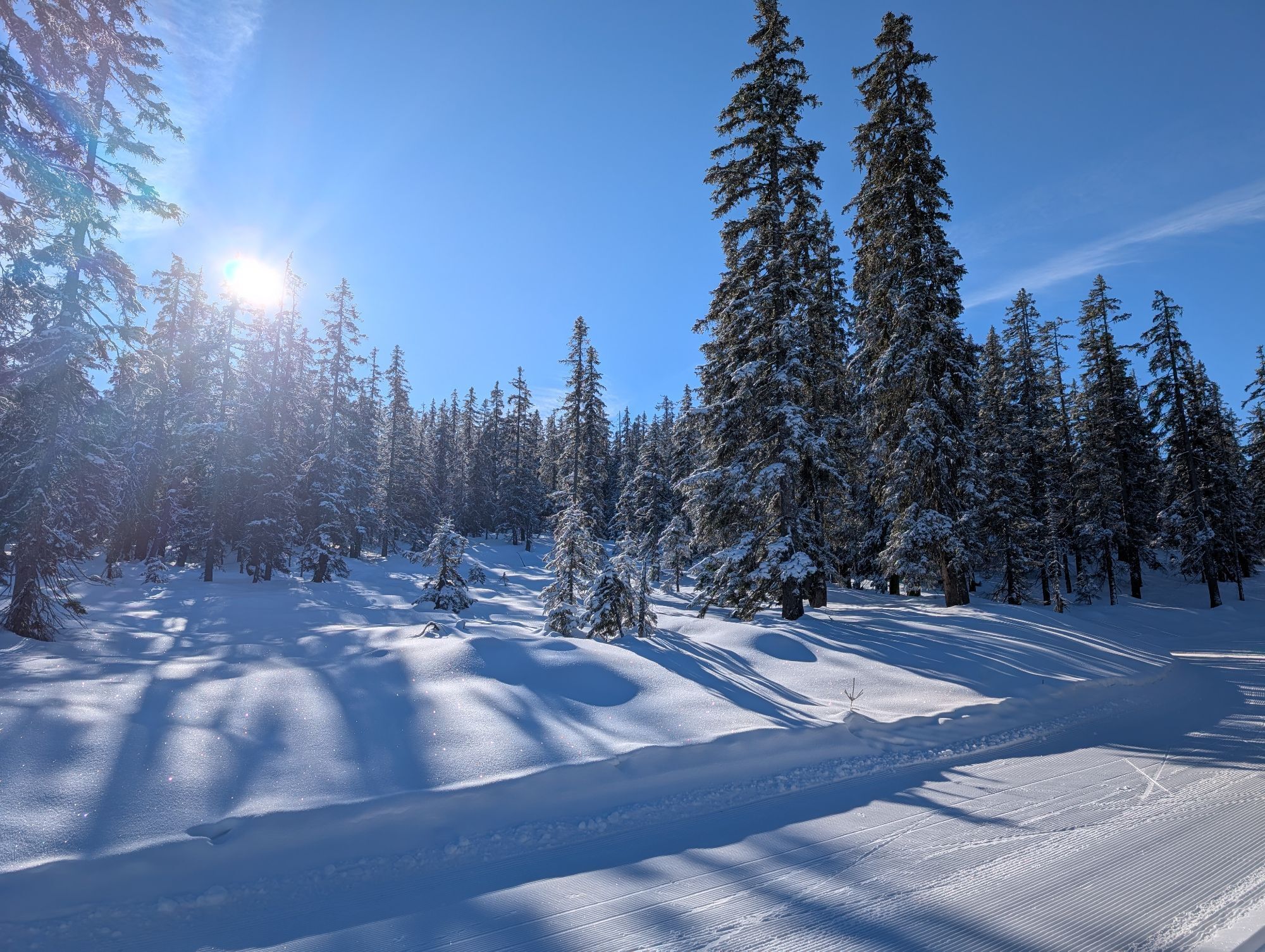
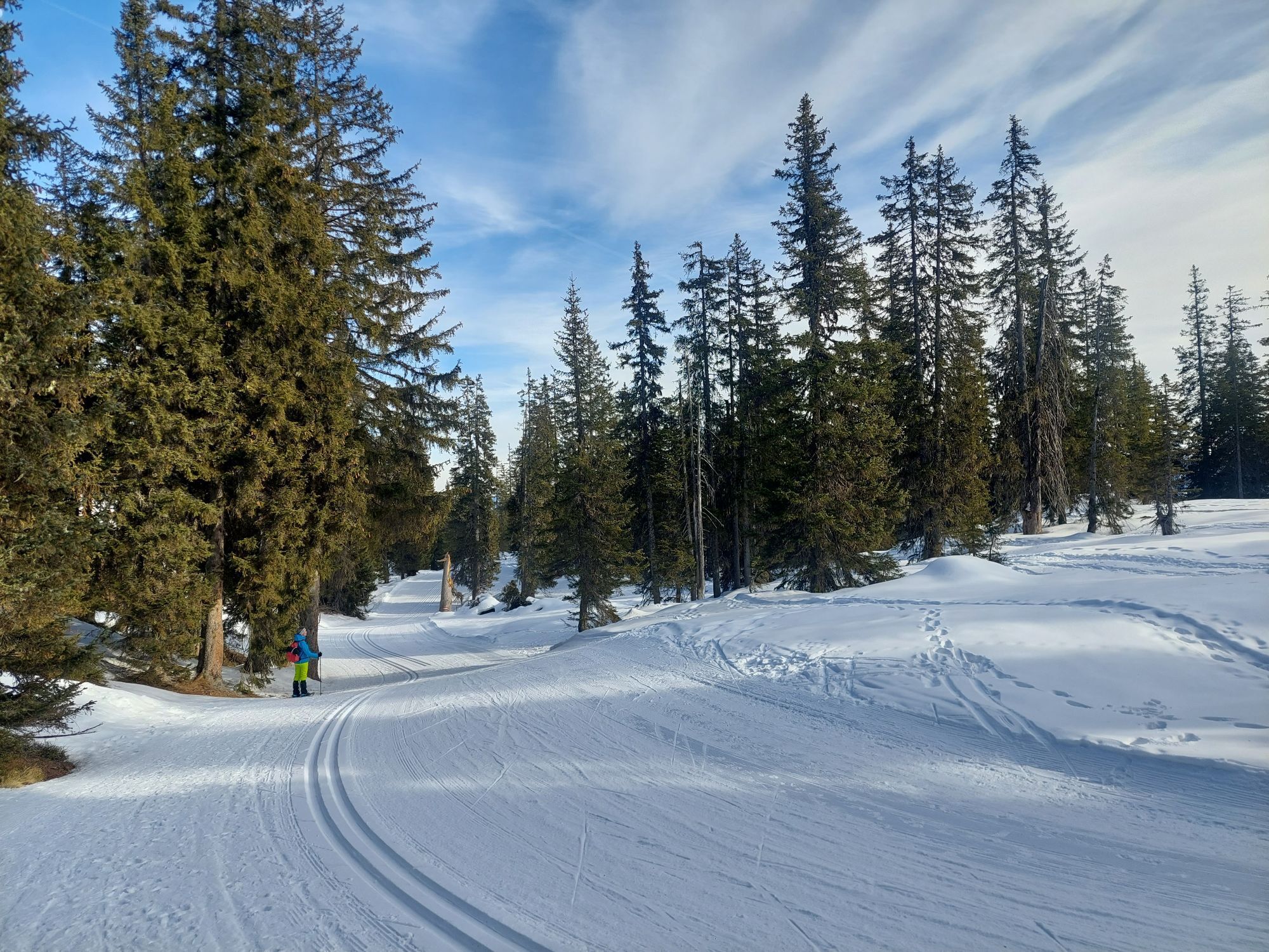
The return journey follows the paved Rossbrand Road, descending gently for around 4.7 kilometres to the Steinalm junction. From there, a forest road leads back through varied natural scenery to Filzmoos. Combining sporting enjoyment, stunning panoramic views, and authentic alpine culture, this tour is considered one of the most beautiful biking experiences in the region.

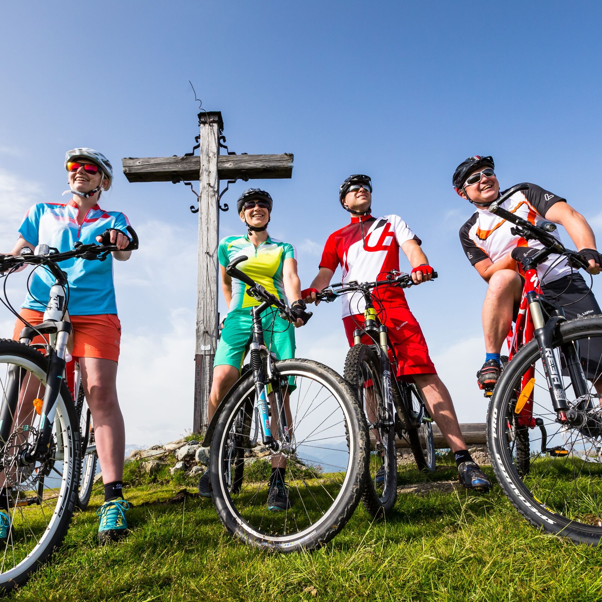
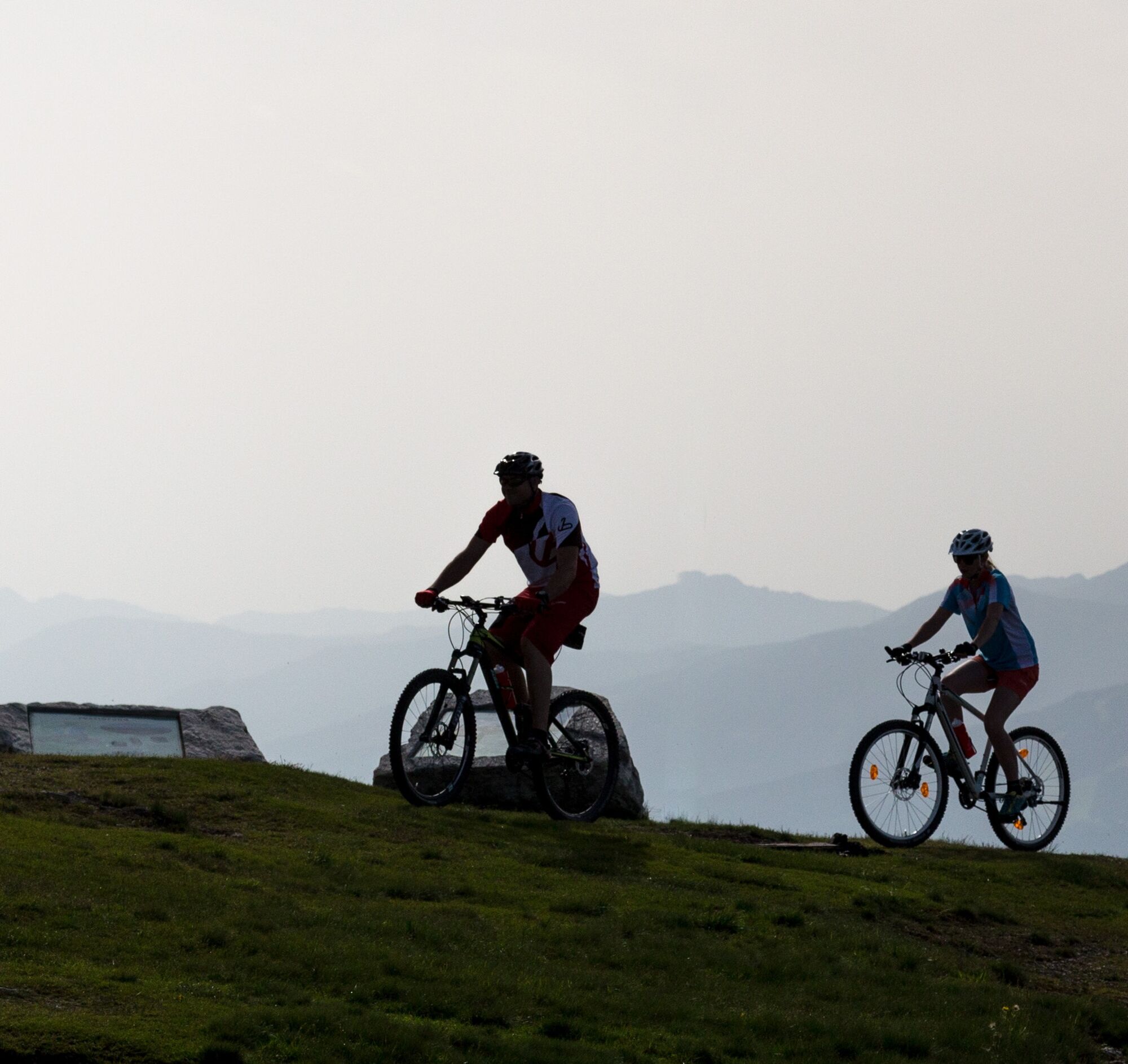
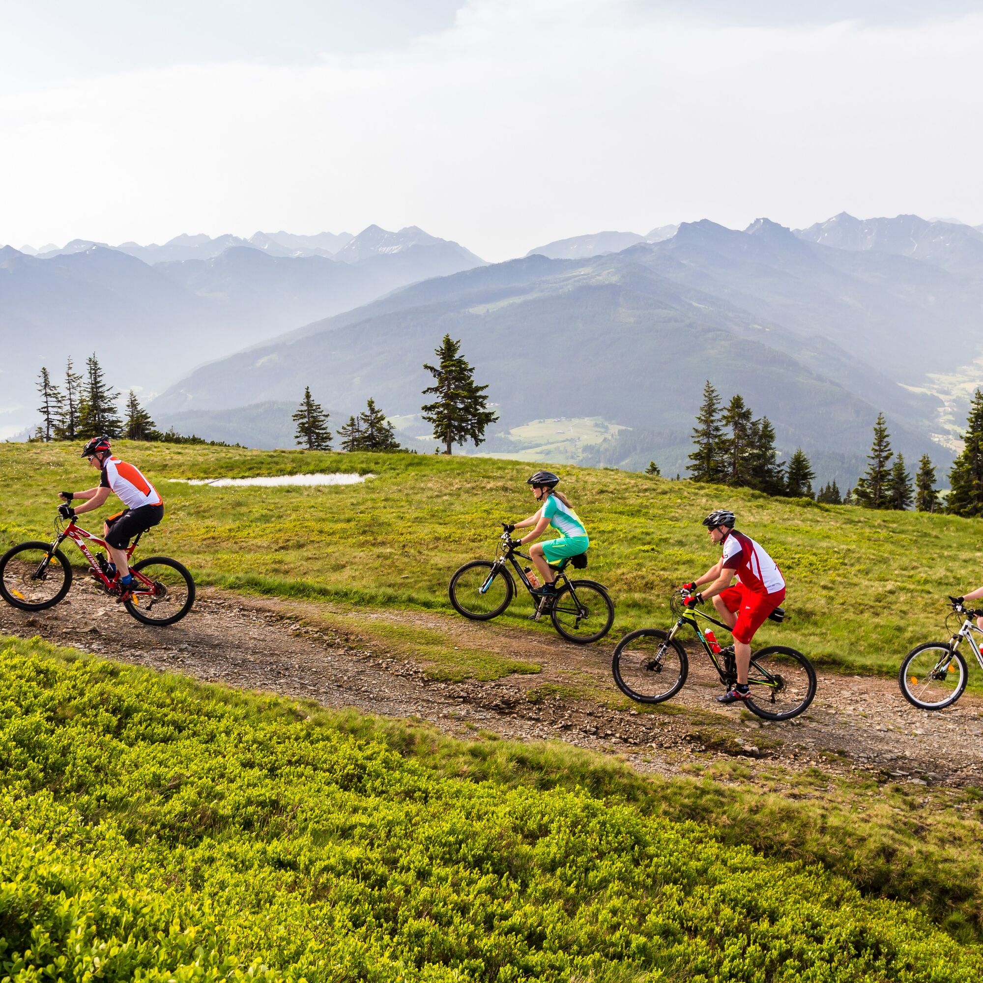
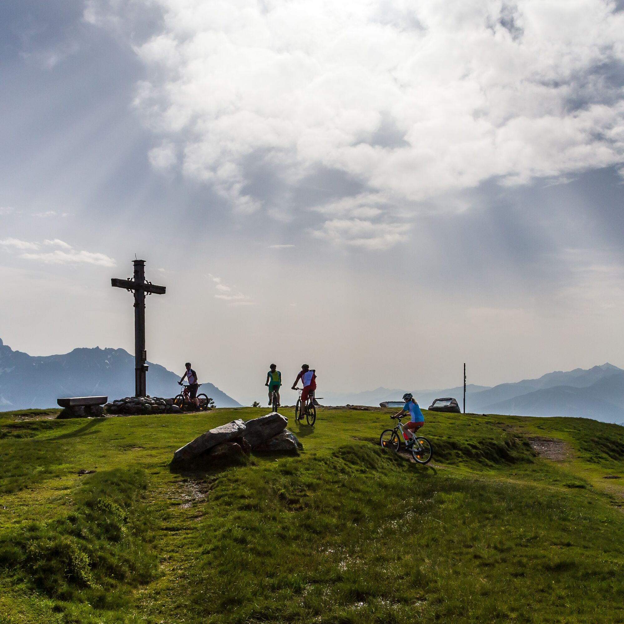
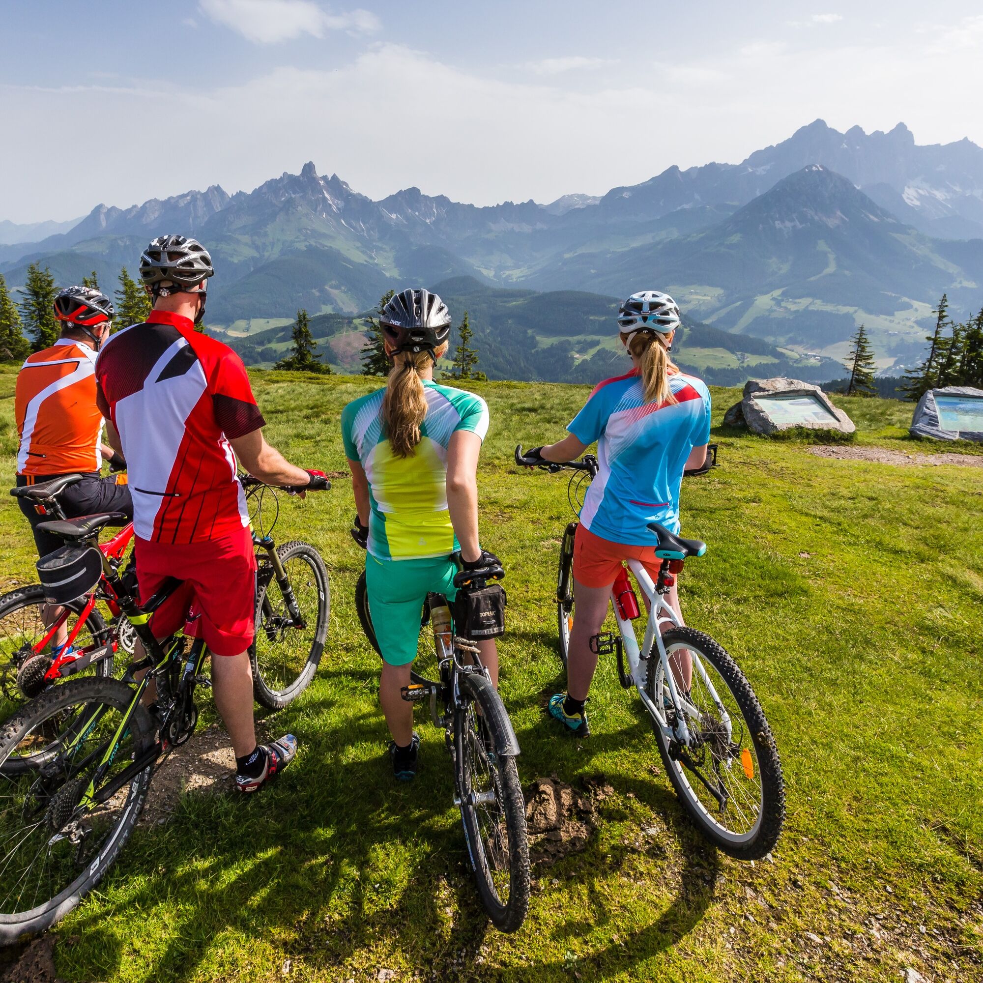

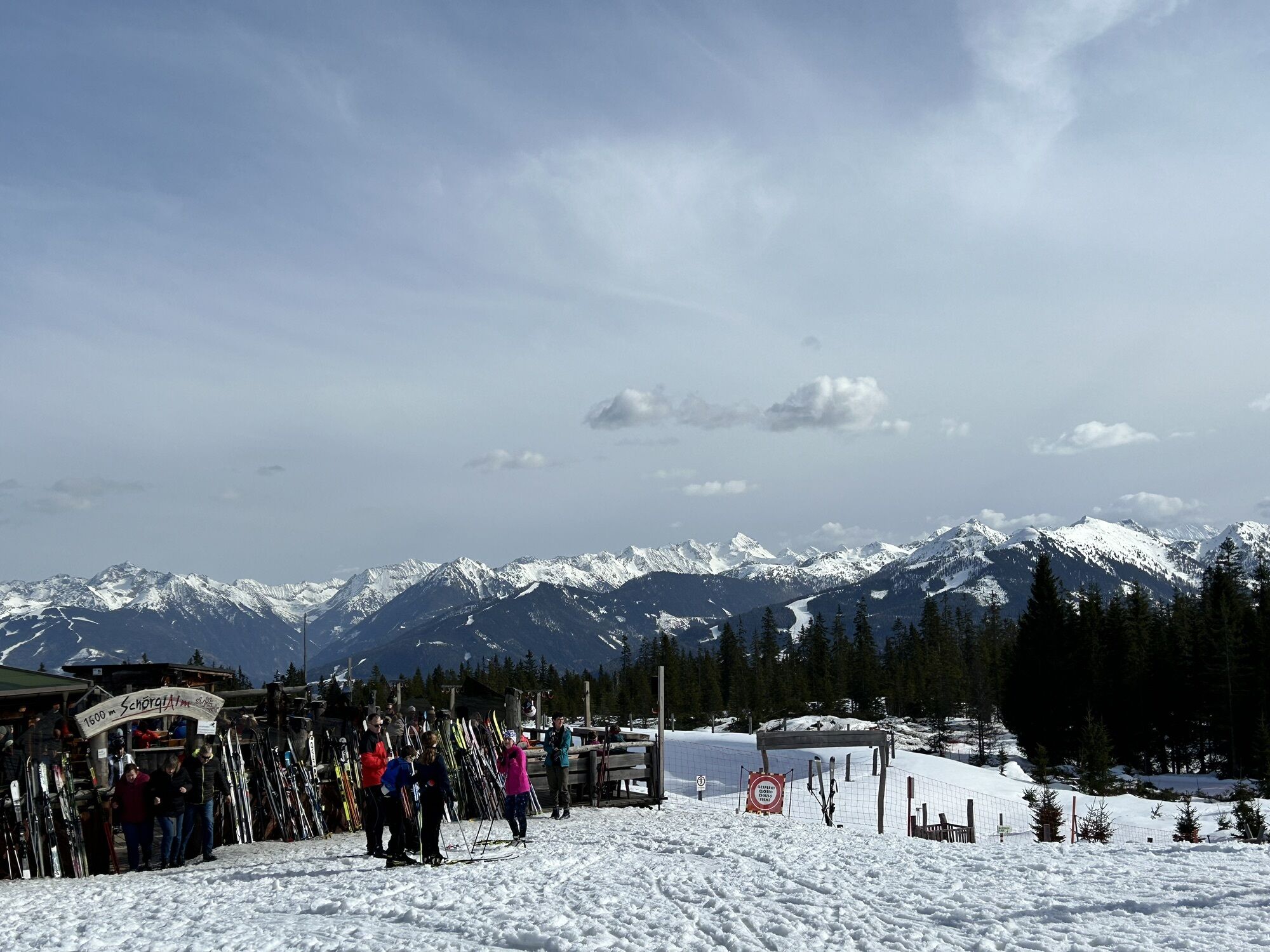
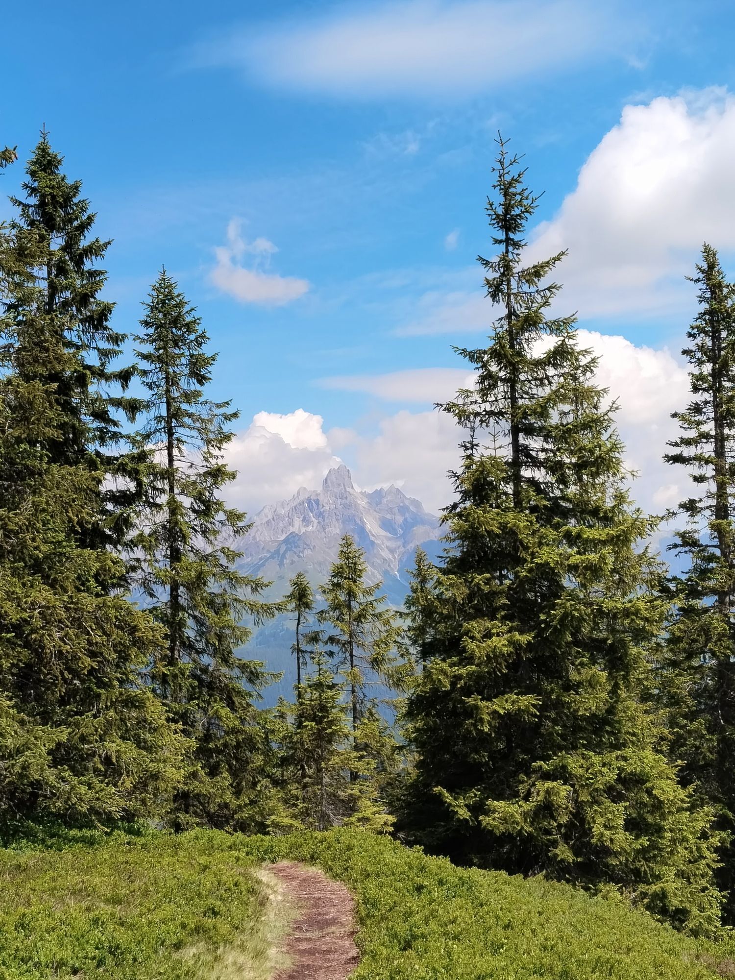
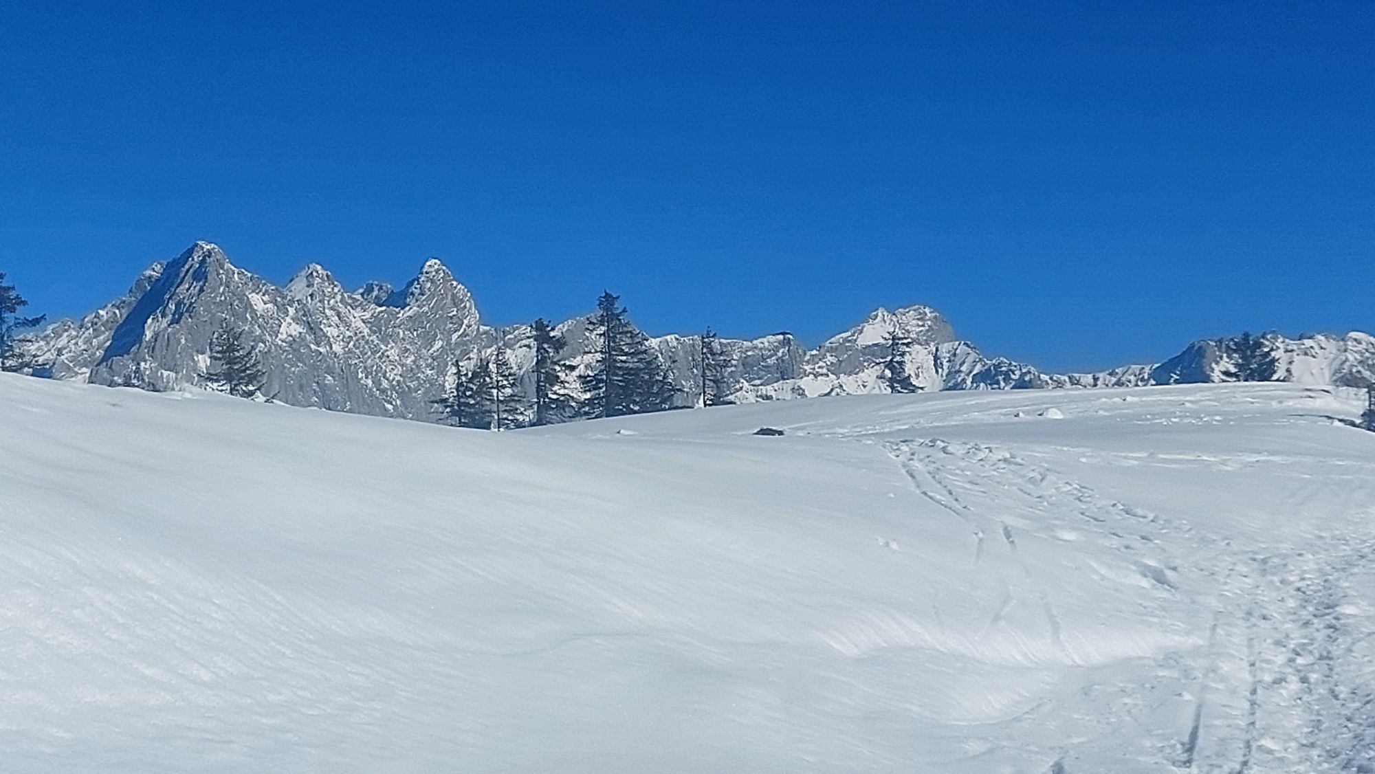
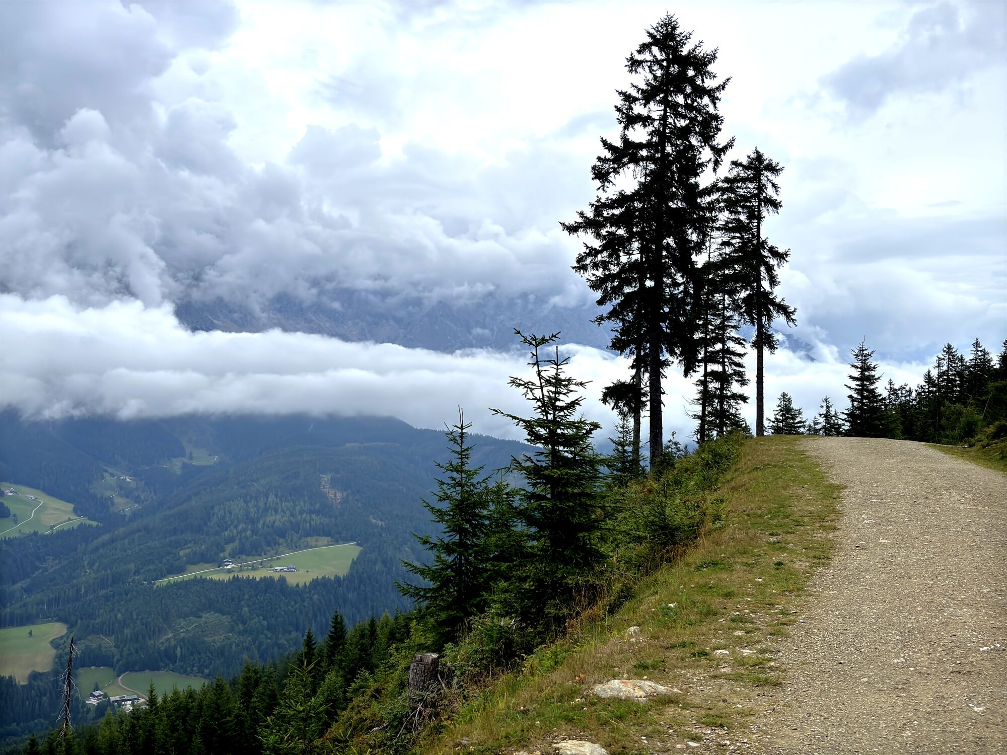
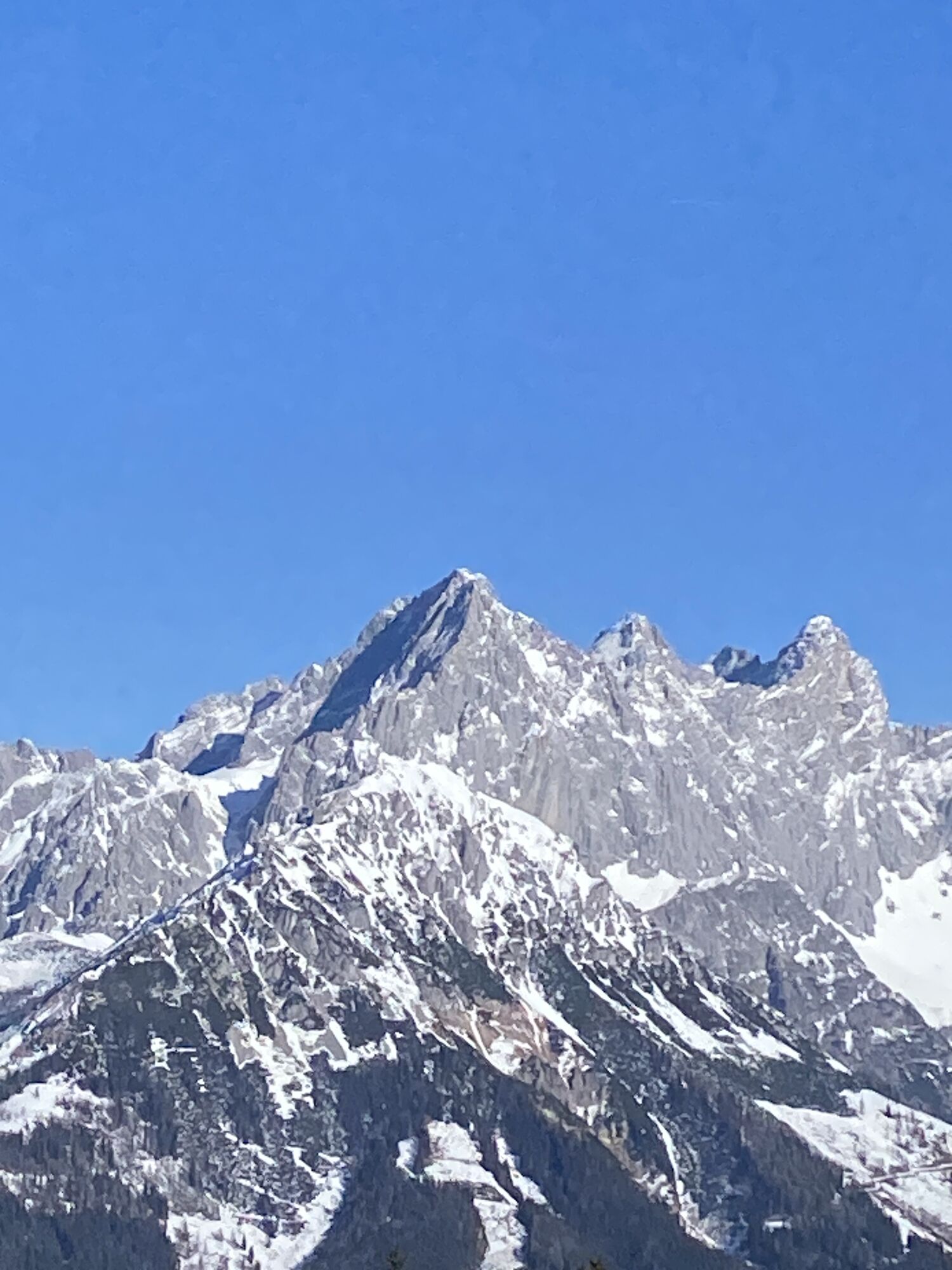
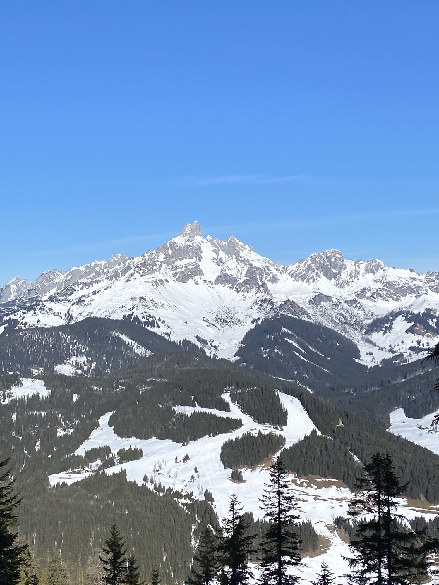
From Filzmoos we start slightly downhill on the road towards Ramsau. After 1.6 km, we turn right onto a forest road, where we pedal uphill until km 4.3. At the hairpin turn, turn sharply right and continue on the forest road with rewarding views of the Bischofsmütze and the Dachstein to the Schörgi Alm, known for its hospitality, delicious snack dishes and meals, as well as the wonderful view. Here is also the last charging possibility for e-bikes before the summit. Then we continue along the north side of the mountain ridge on the forest road heading west and reach after about 3.5 kilometers the summit cross with a magnificent 360° mountain panorama at Rossbrand, where the Karhütte and the Radstädter Hütte invite you to refresh yourself.
From the parking lot just below the Radstädter Hütte, continue for 4.7 km on the moderately descending paved Rossbrand road until the Steinalm junction. There turn left and follow the forest road back down to Filzmoos.
Tak
Tak
Sun and rain protection, helmet, map material, enough to drink.
In case of emergency, please call the following emergency numbers: No. 140 - Mountain rescue No. 112 - Euro emergency
Coming from Ramsau am Dachstein: At the roundabout, take the exit towards Neuberg – shortly after the gas station, turn left. There is a public paid parking lot opposite the gas station.
Destination stations: Eben im Pongau or Radstadt (both on the Salzburg – Bischofshofen – Schladming – Graz railway line). From Salzburg main station, there are regular trains (about once every hour). The journey takes about 1 hour.
Continue by bus or taxi: From Eben im Pongau or Radstadt, bus line 521 goes directly to Filzmoos, stop Neuberg/Reitsteg (travel time approx. 20–30 minutes). Alternatively, taxis are available at the station. Tip: The buses do not run very frequently – check the timetable in advance and whether the bus also transports bicycles on ÖBB
With the Fidibus summer service: From Filzmoos (Filzmoos tourist information), there is the Fidibus Summer (hiking bus), which takes you from Filzmoos to Neuberg, stopping at Neuberg. Here you can find the timetable.
There is a public paid parking lot opposite the gas station.
S1
Those who want to save the climb can also take the Papageno gondola to the Schörgi Alm (taking bikes is permitted).


Kamery internetowe z trasy
-
Rossbrand
-
Ramsau am Dachstein / Leiten
-
Talstation Reiteralm - Gondelbahn Silver Jet
-
Radstadt - Simonyhof
-
Aparthotel Jagdhof Filzmoos
-
Aparthotel Jagdhof Filzmoos
-
Ramsau a. D. - Rittisberg
-
Reitlehenalm
-
Altenmarkt - Habersatt
-
Radstadt - Wasserwerk
-
Radstadt - Rossbrand
-
Ferienbauernhof Habersattgut
-
Ferienanlage Reithof
Uzyskaj wgląd
Zawsze na żywo z ponad 9 500 kamer internetowych. bergfex Jako użytkownik Pro, możesz teraz zobaczyć odpowiednie kamery internetowe dla wielu wycieczek w aplikacji wycieczki od. Pozwala to na bezpośredni podgląd aktualnych warunków.
Popularne wycieczki w okolicy
-
4,4
Ramsau am Dachstein: Steinerne Jungfrauen
Wędrówka 8,11 km -
4,3
Filzmoos: Rötelstein (Rettenstein)
Wędrówka 9,50 km -
4,8
Tour around the Gosaukamm
średniWędrówka 20,9 km -
4,8
4-Jahreszeiten Wanderweg
średniWędrówka zimą 5,94 km -
4,7
Tor-Wanderung
ciężkiWędrówka 14,2 km -
4,7
Tour around the Lake Gosau
światłoWędrówka 4,43 km -
4,6
Ski route Lackenkogel
średniWycieczka narciarska 7,82 km -
4,5
Adamekhütte vom Vorderen Gosausee
średniWędrówka 23,2 km -
4,7
Reiteralmrunde
światłoWędrówka 5,71 km -
4,7
Bachlalm-Murmeltiere Rundwanderweg
światłoWędrówka 10,2 km
Wędrówki i tropienie


Nie przegap ofert i inspiracji na następne wakacje
Twój adres e-mail została dodana do listy mailingowej.





