


Maiskogel-Häuslalm round with descent via Wüstlau Trail
Poziom trudności: S3
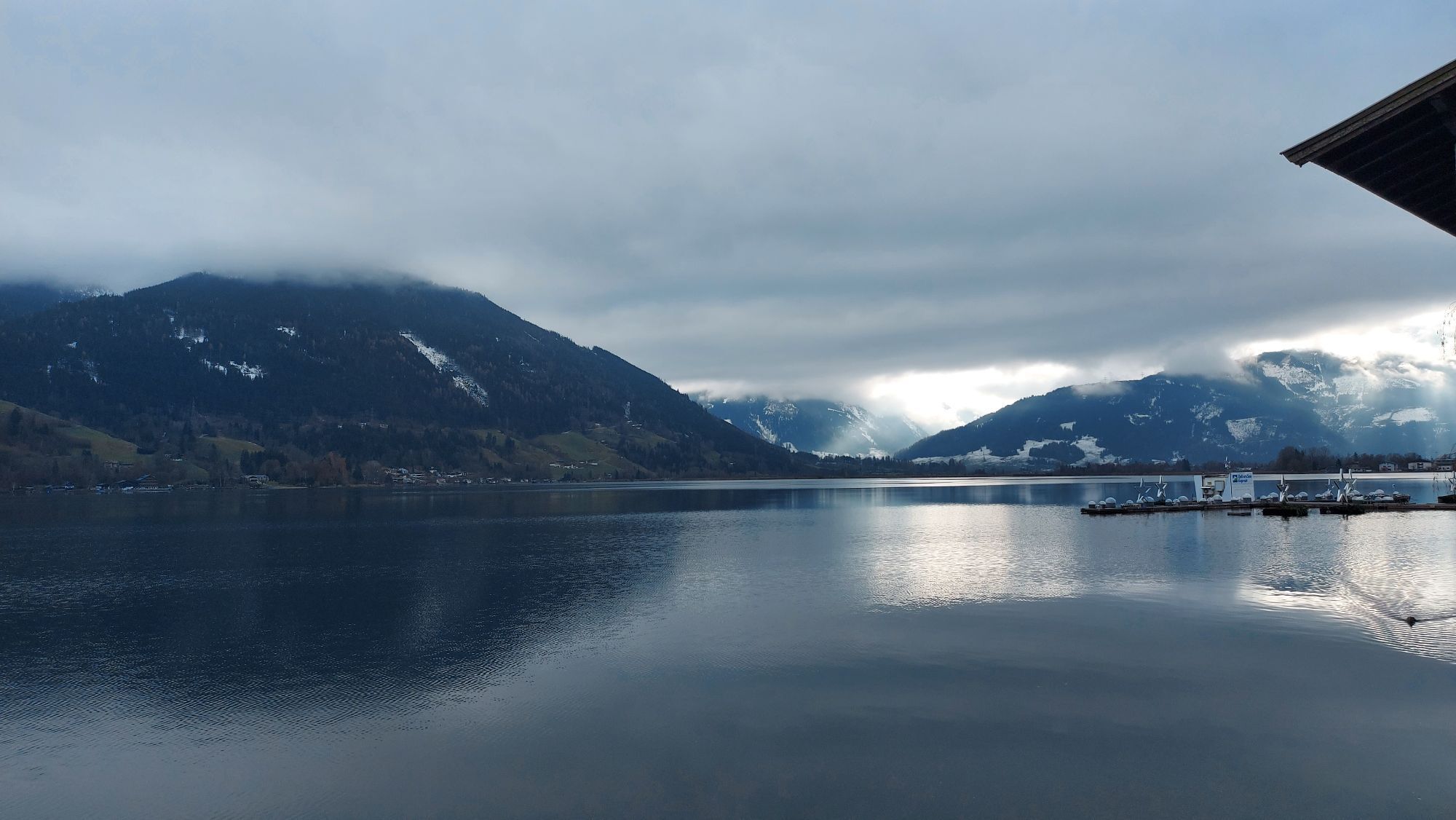
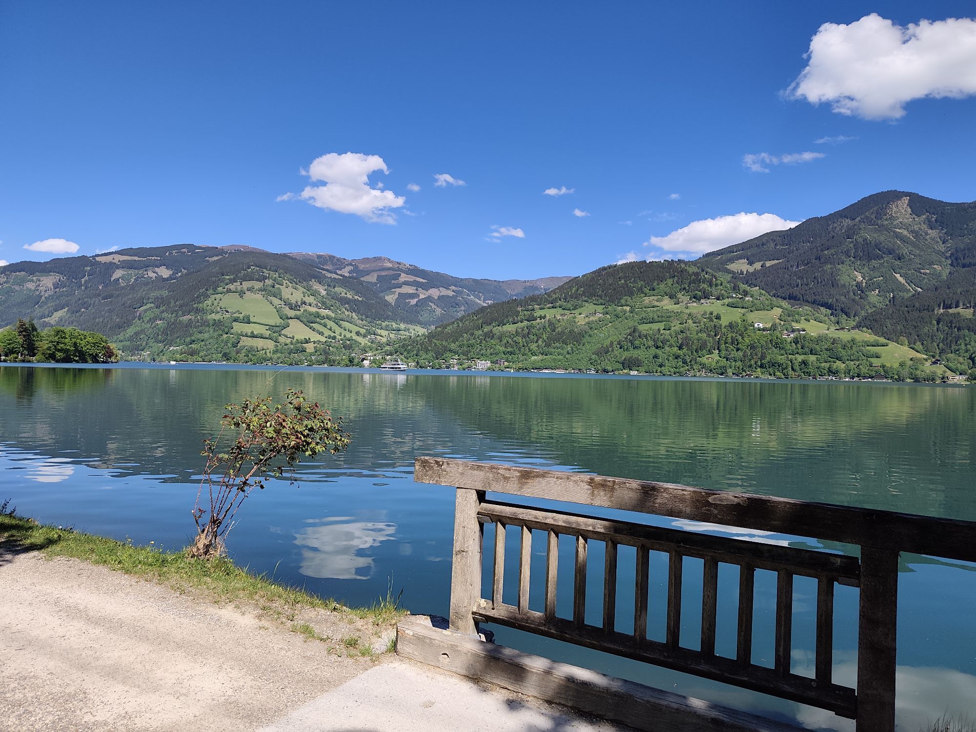


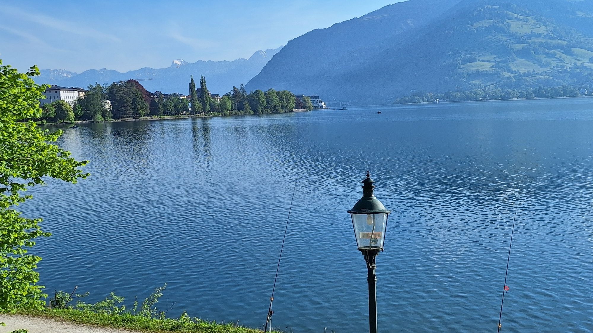


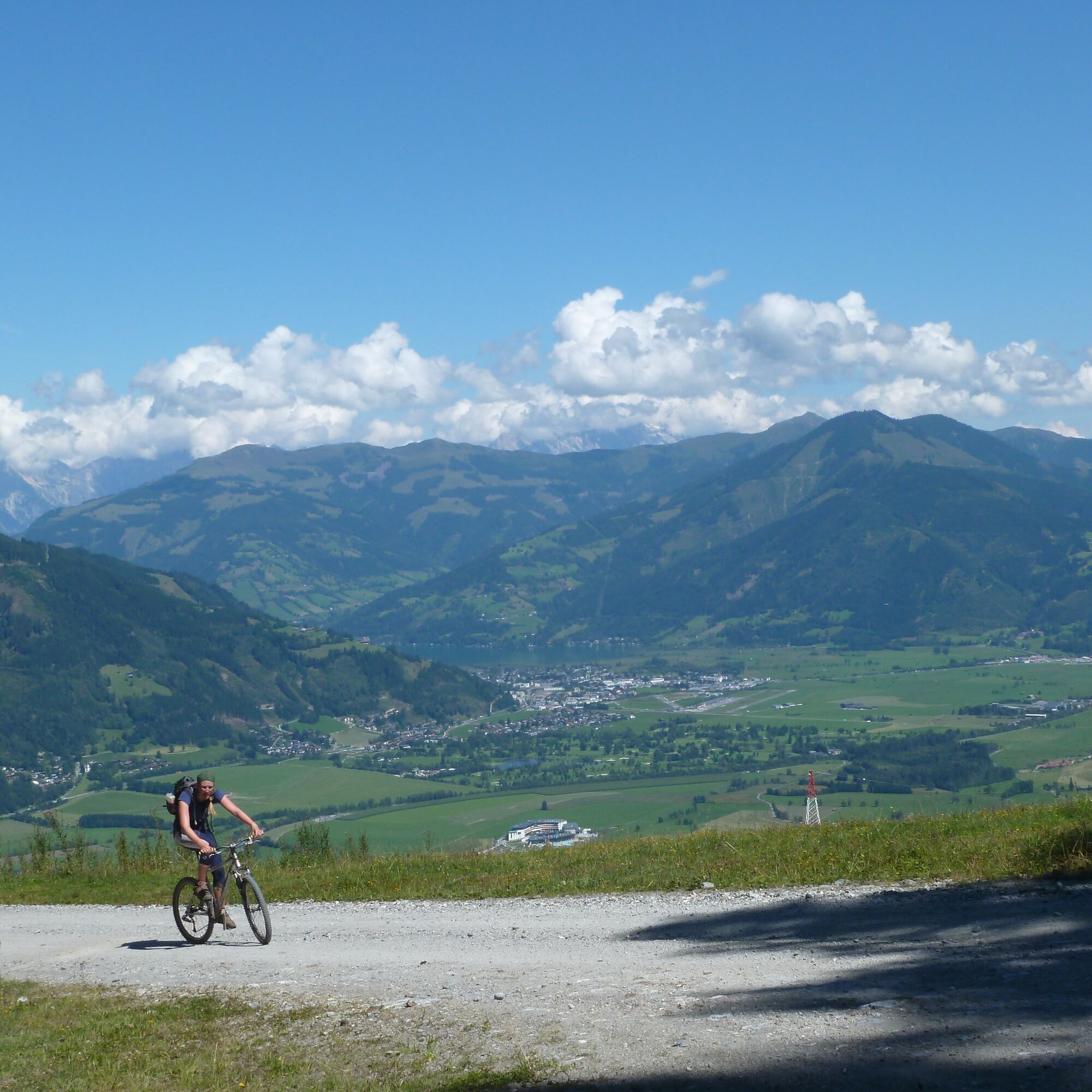
First, you cycle from Maishofen past Prielau Castle to Zell am See. From the Zellermoos district heading south at the Brückenwirt over the Saalach, immediately after the bridge turn right and after 50...
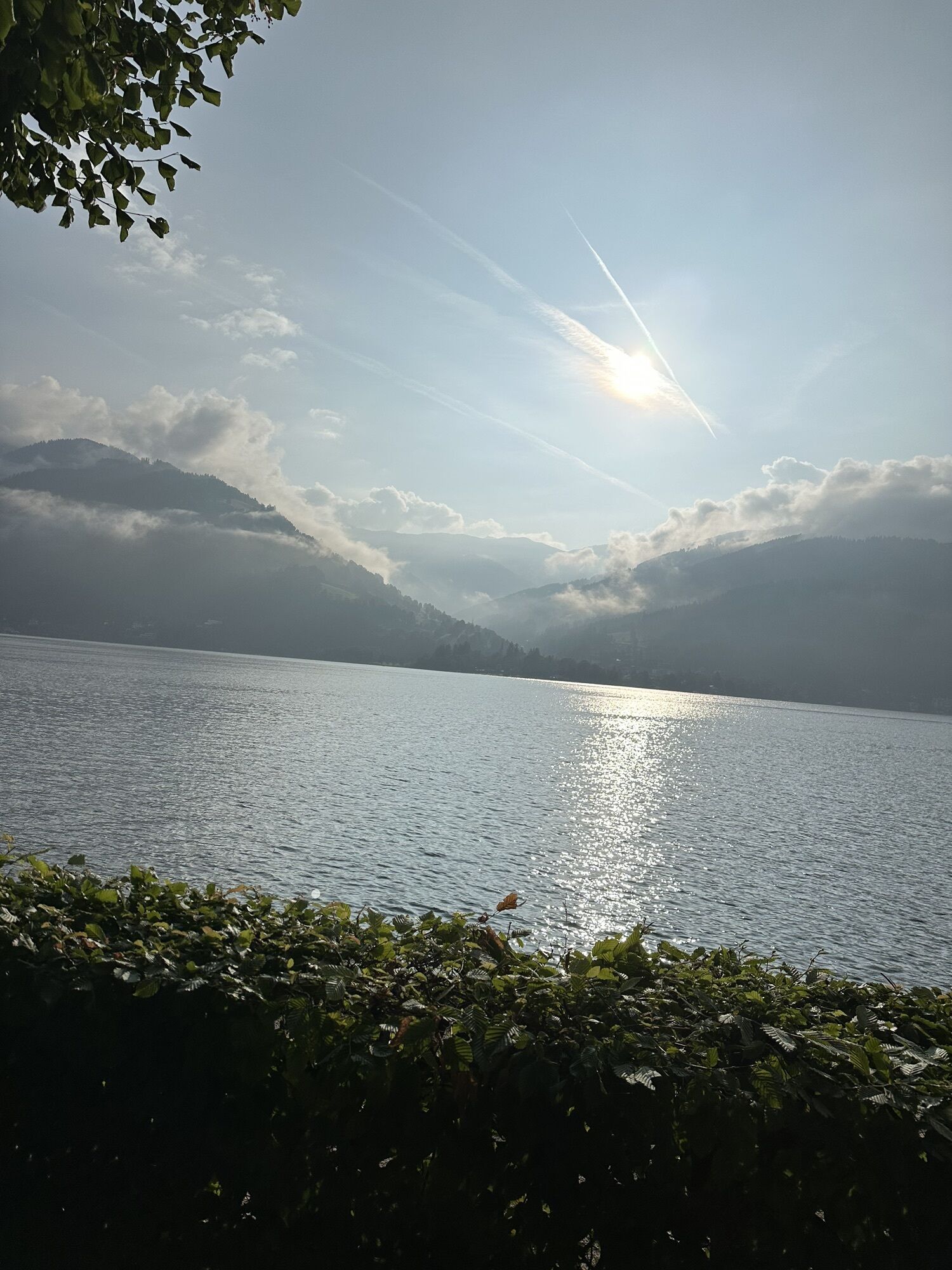
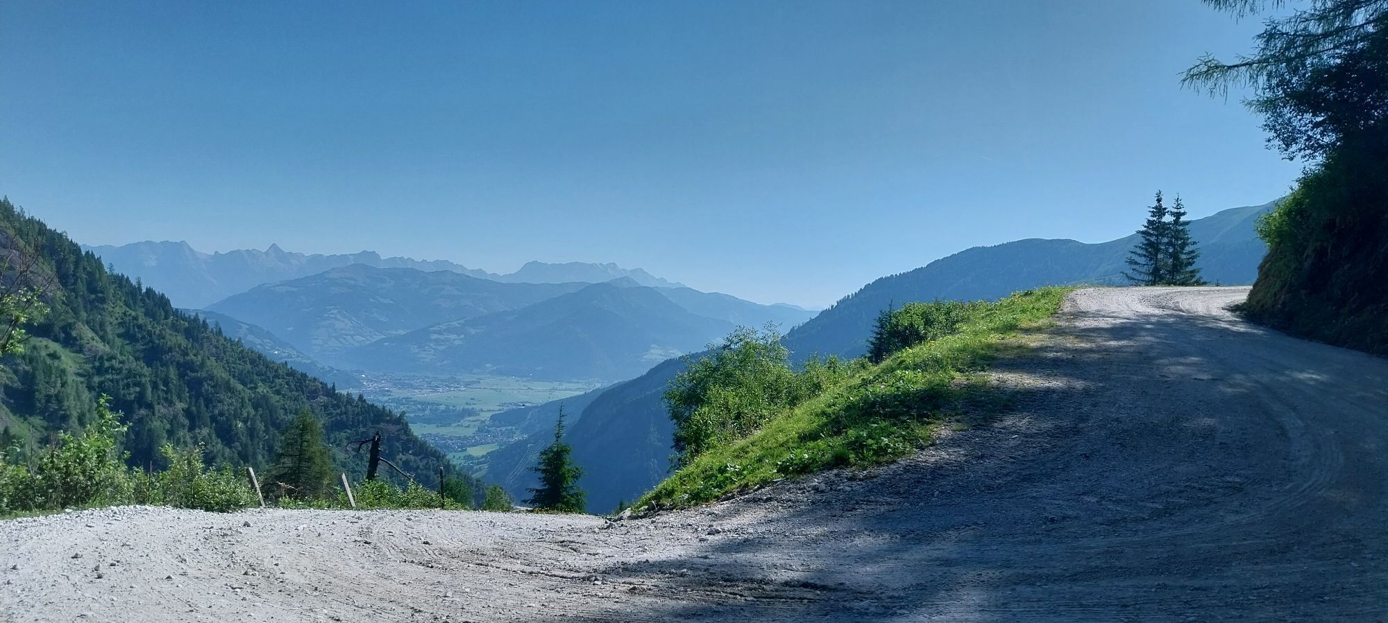
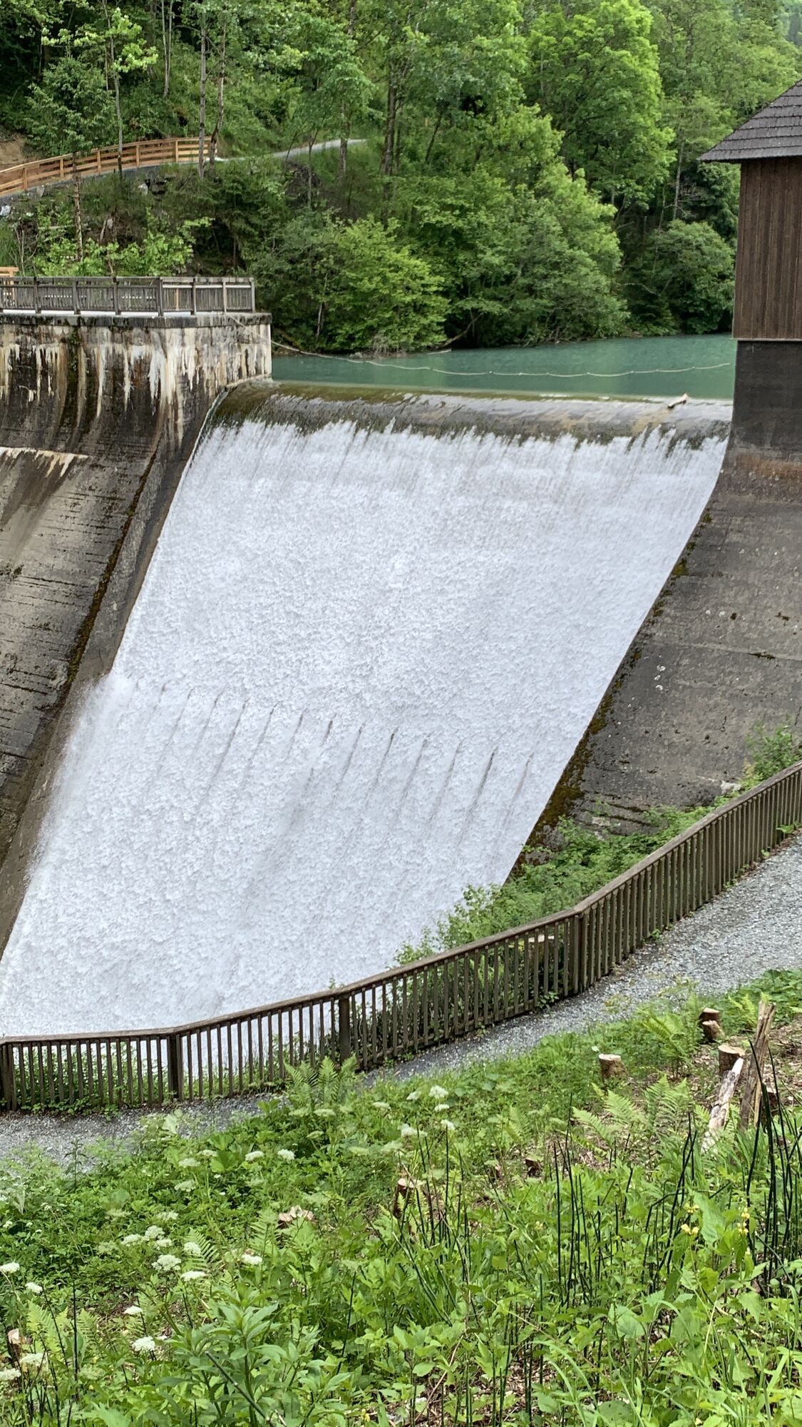
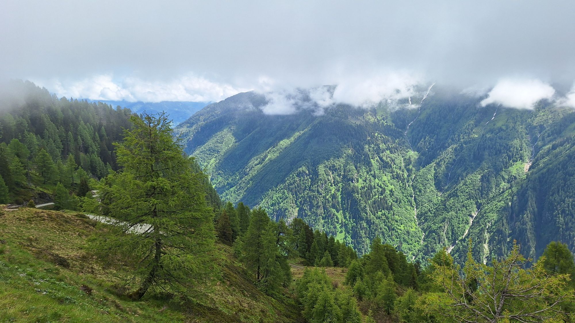
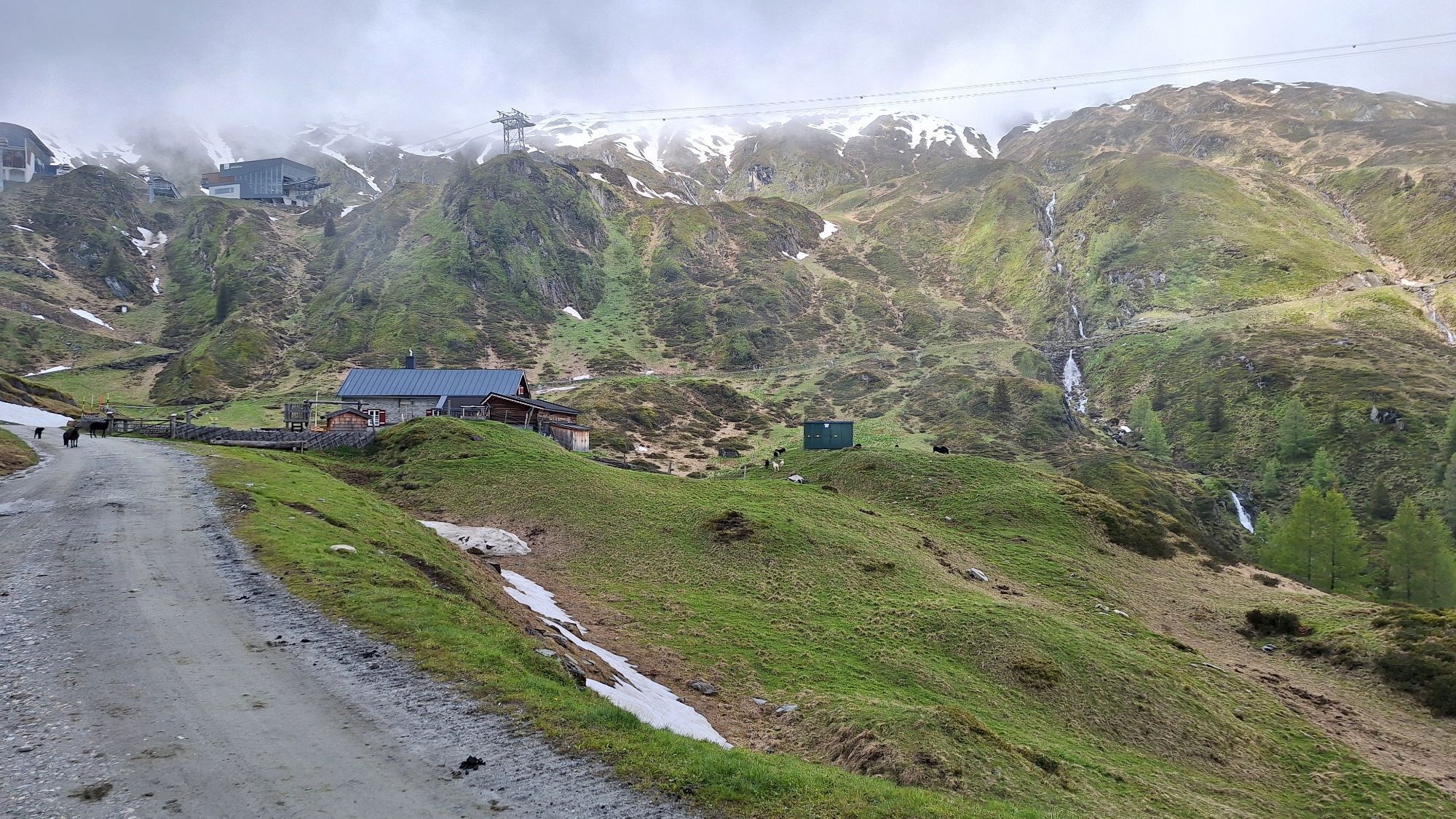
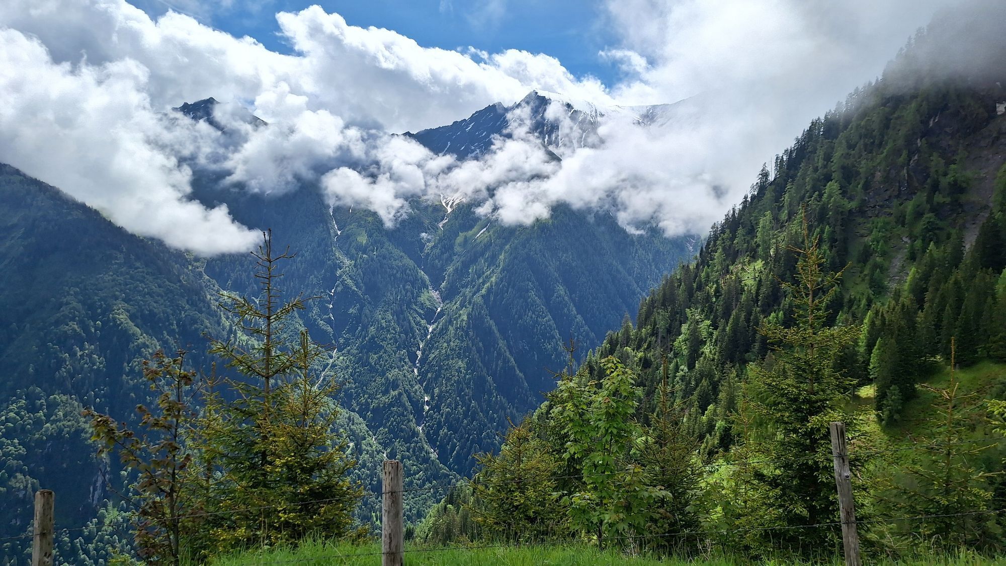
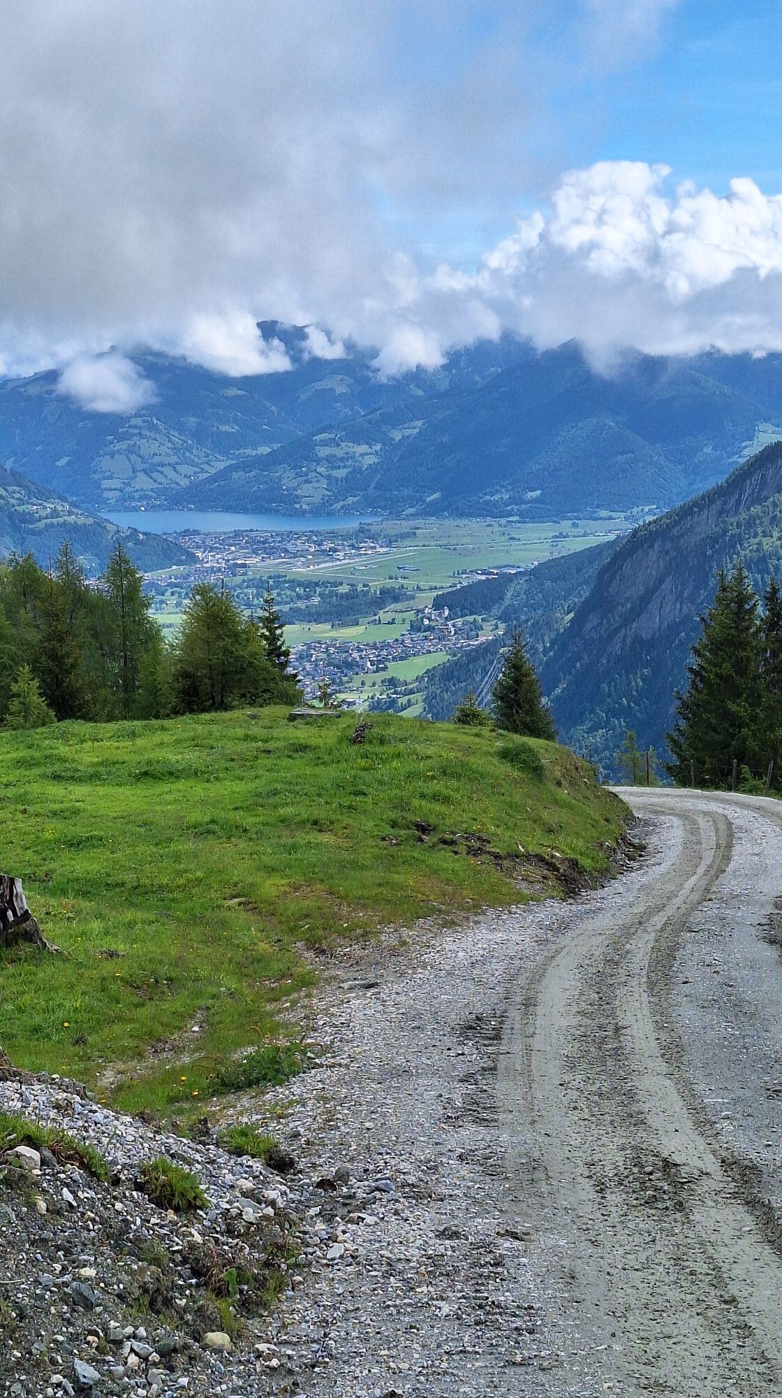
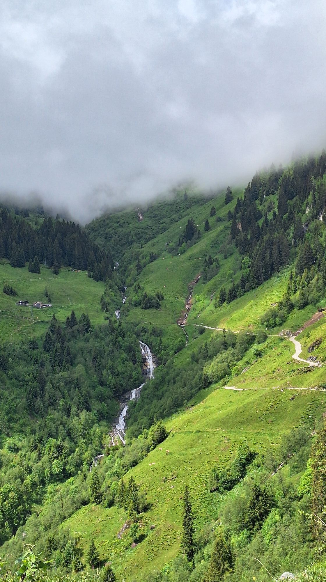
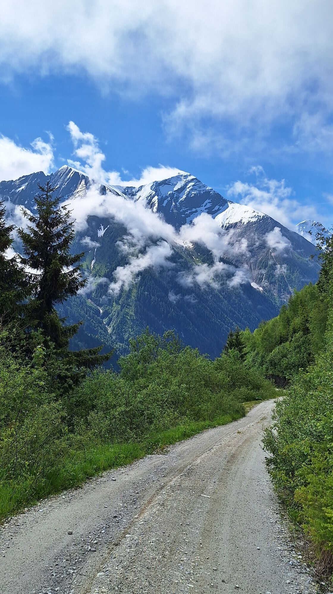
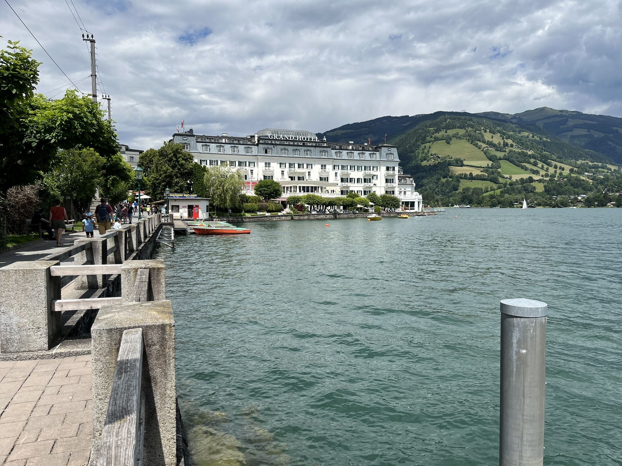
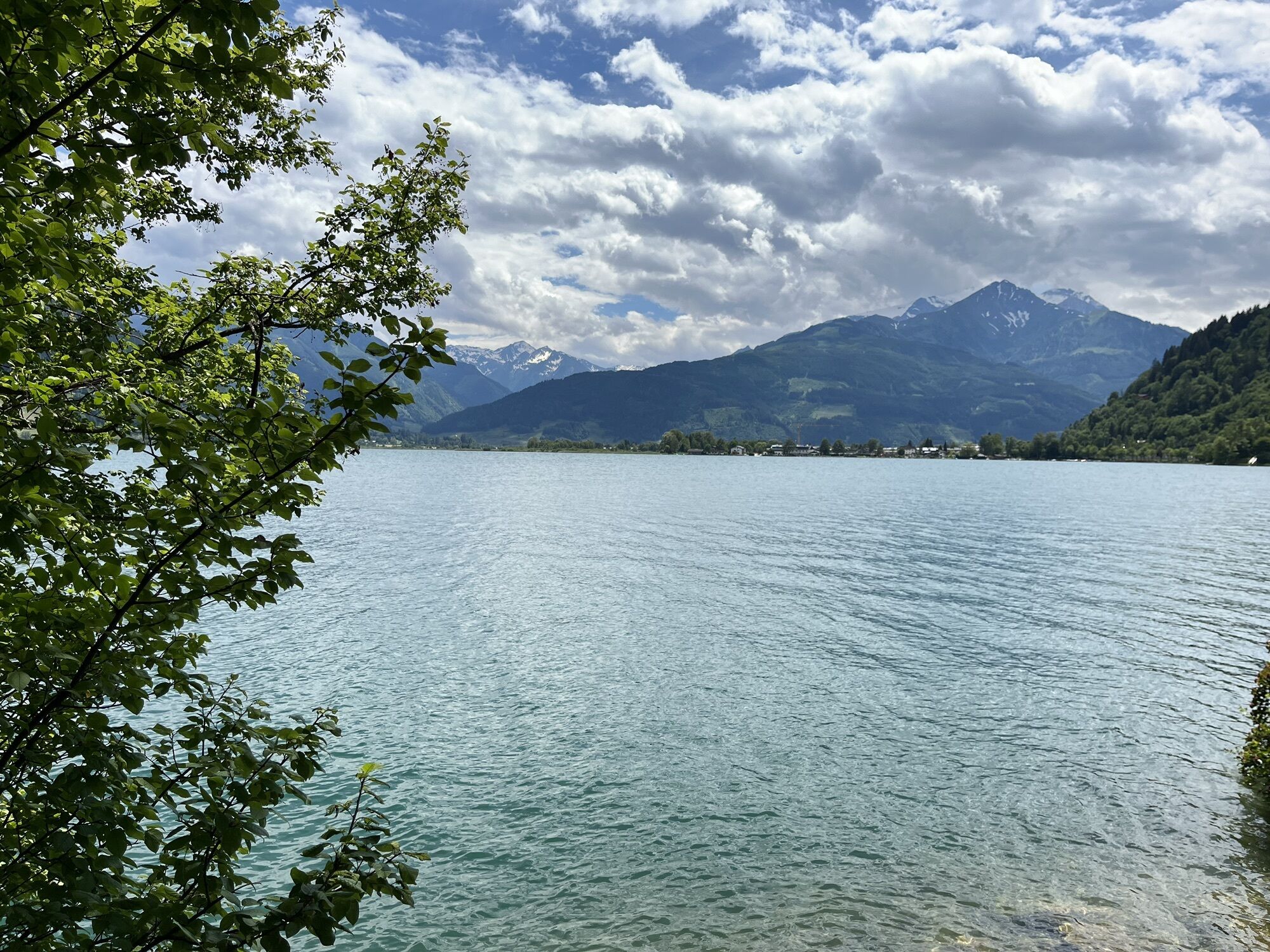
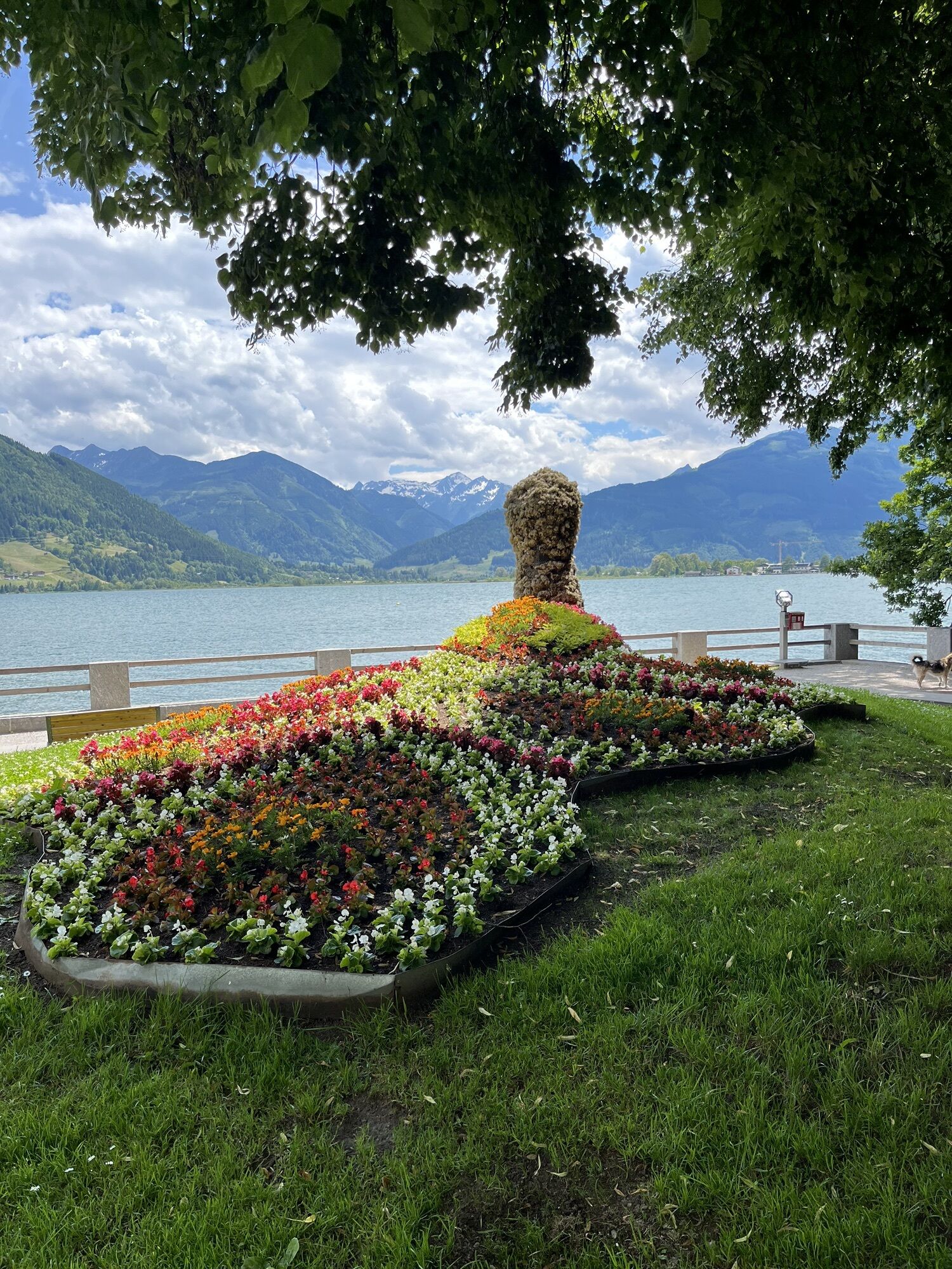
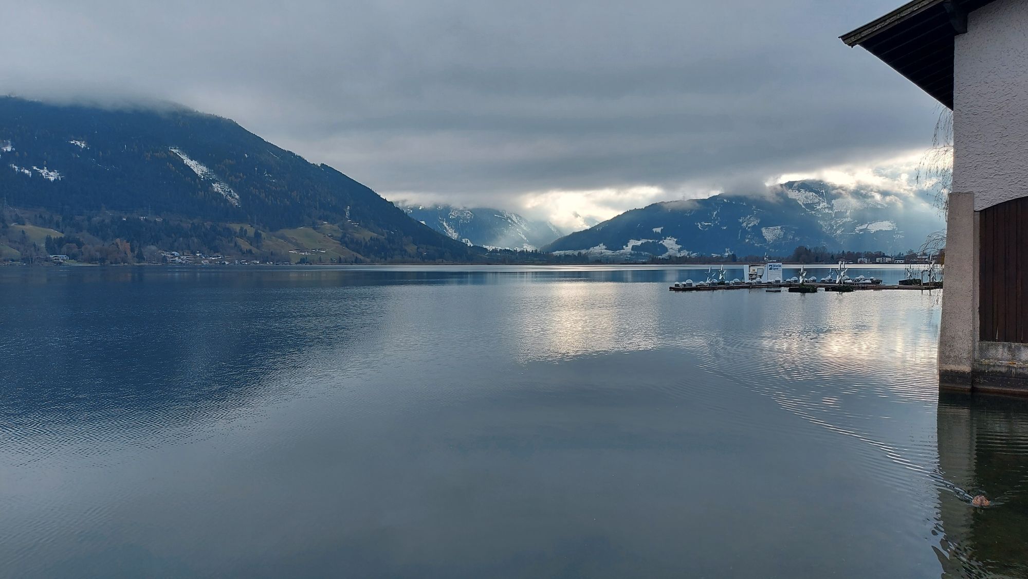
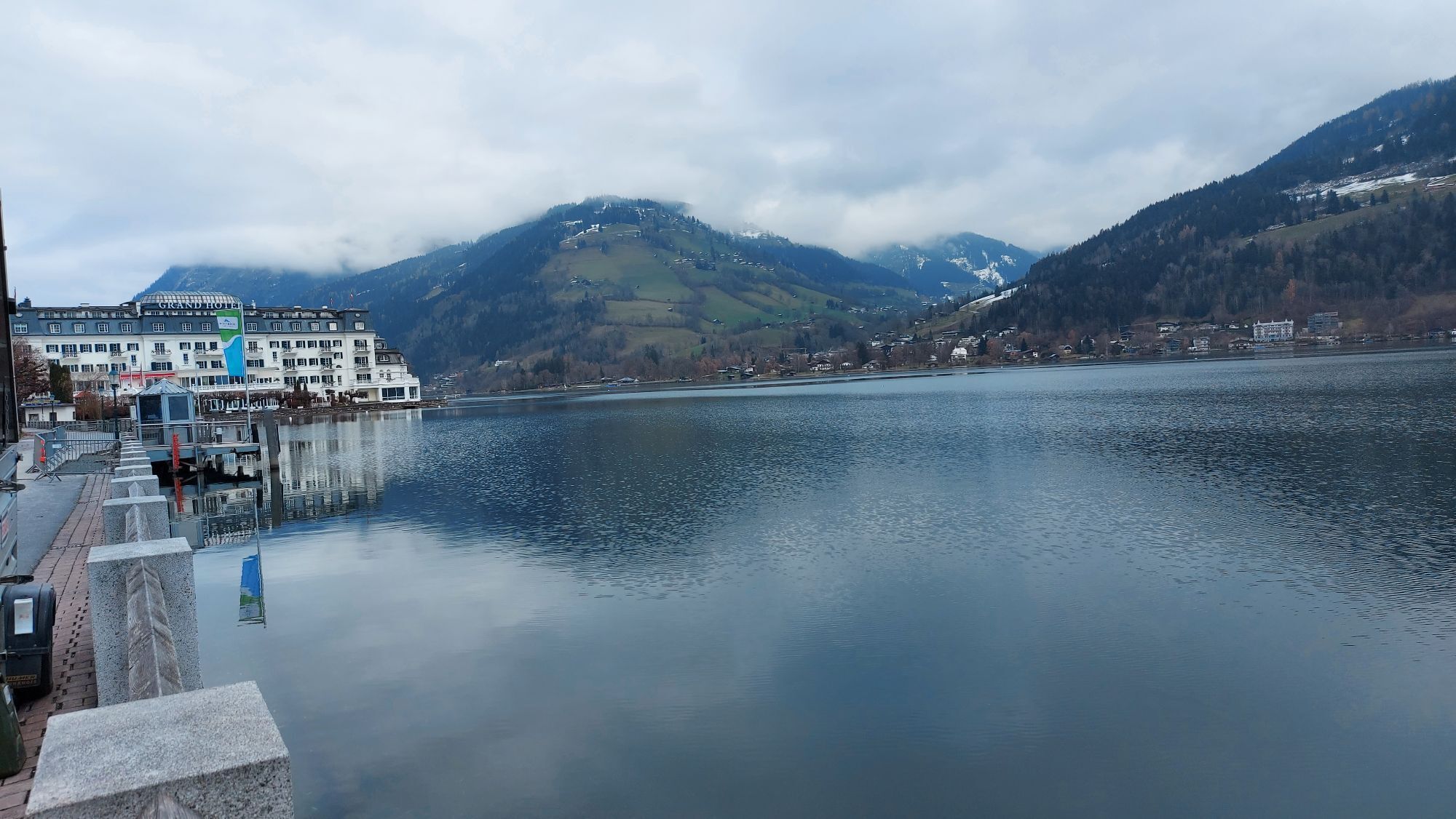
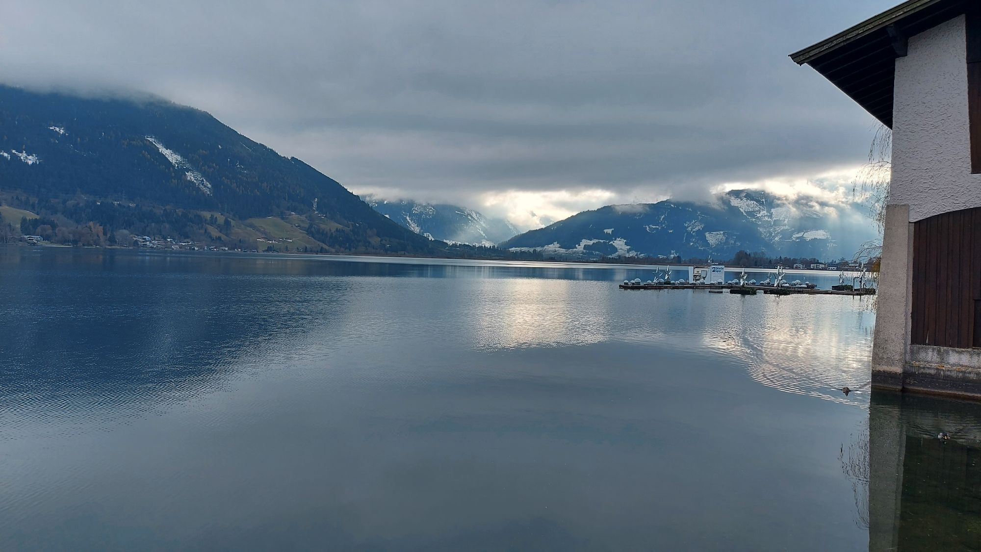
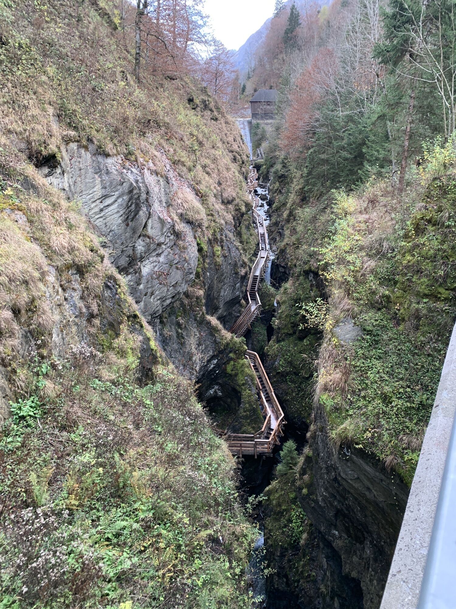
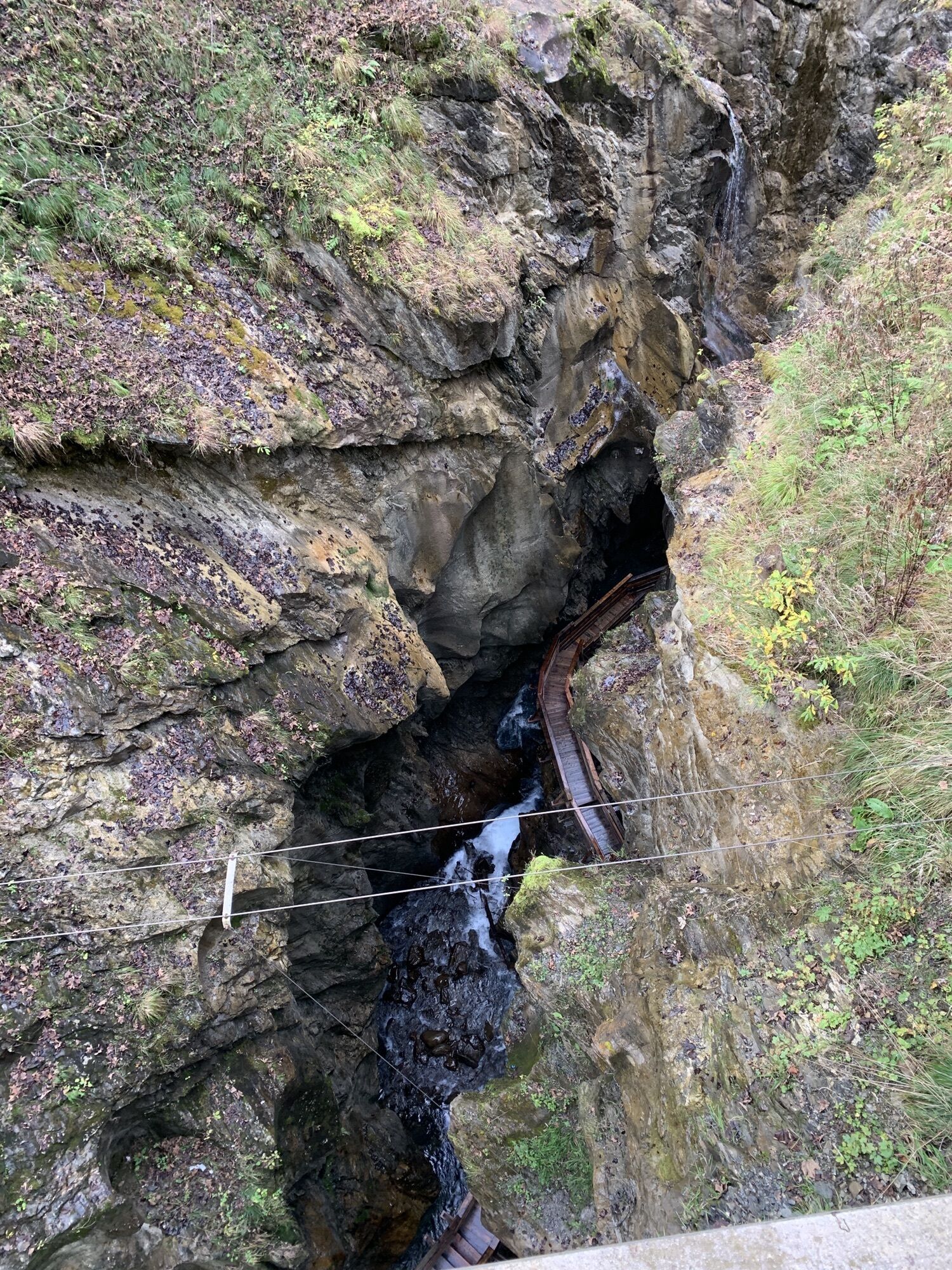
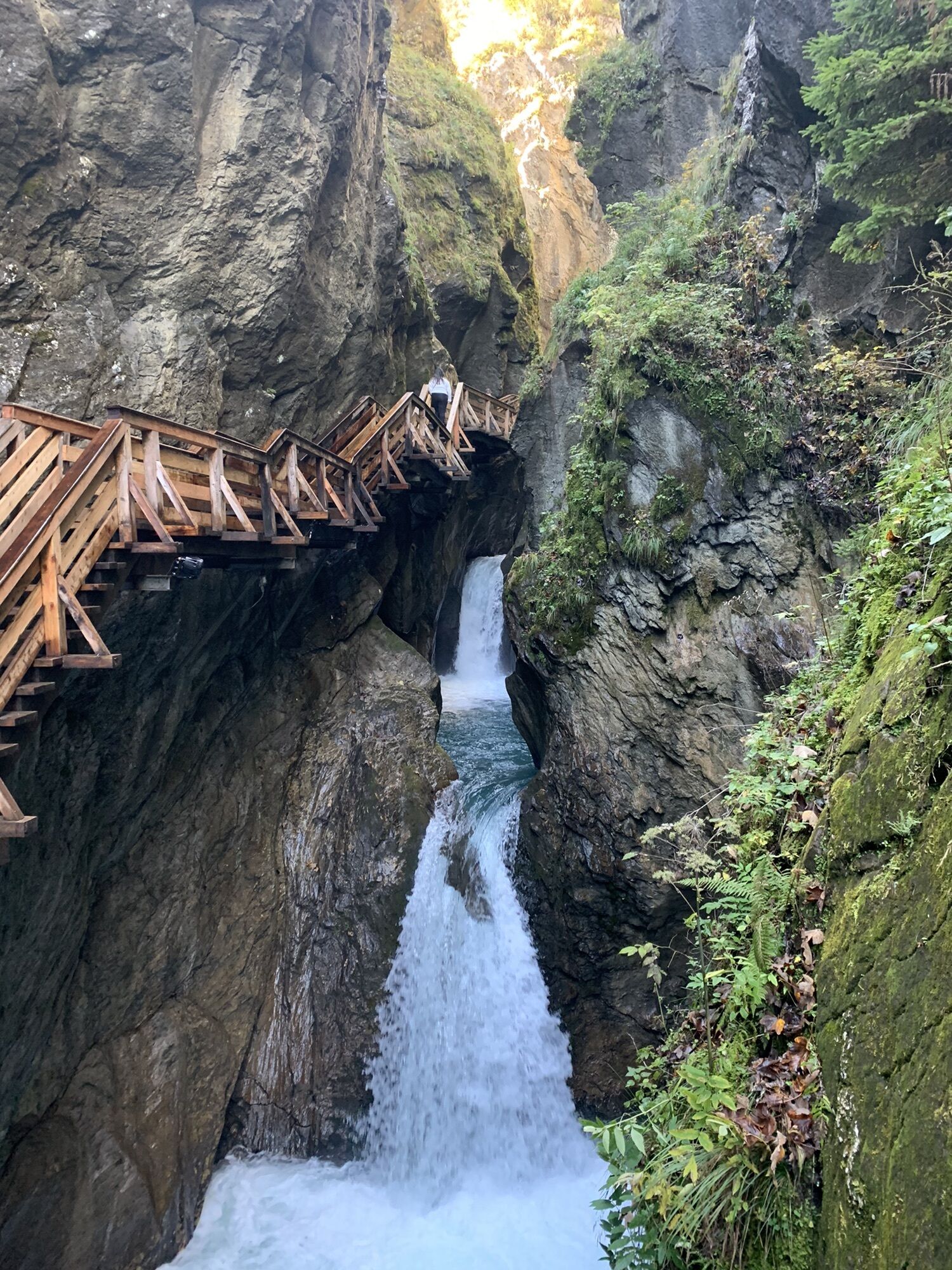
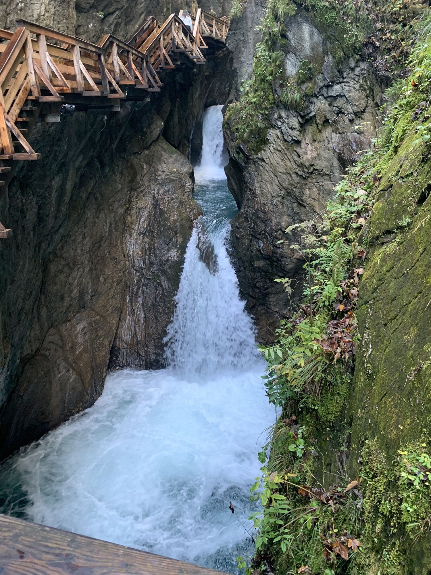
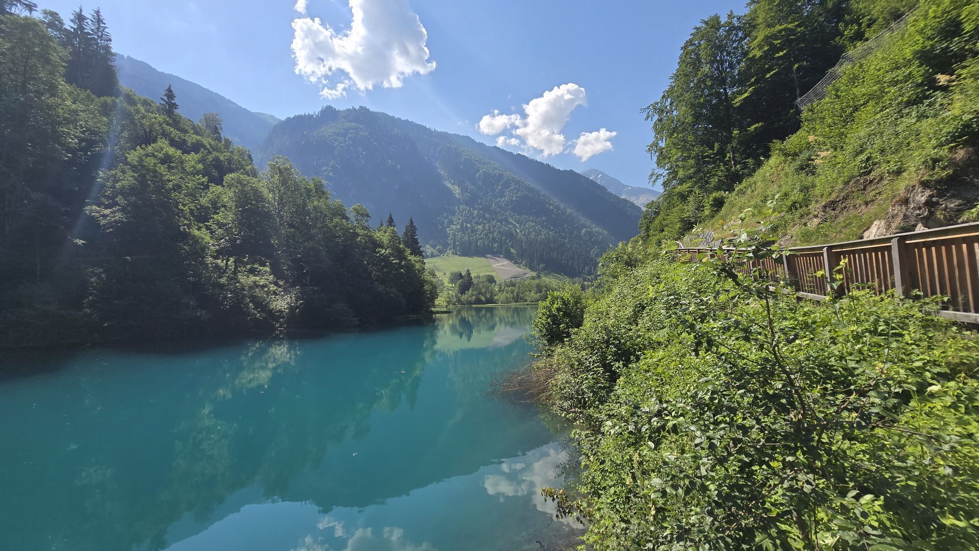
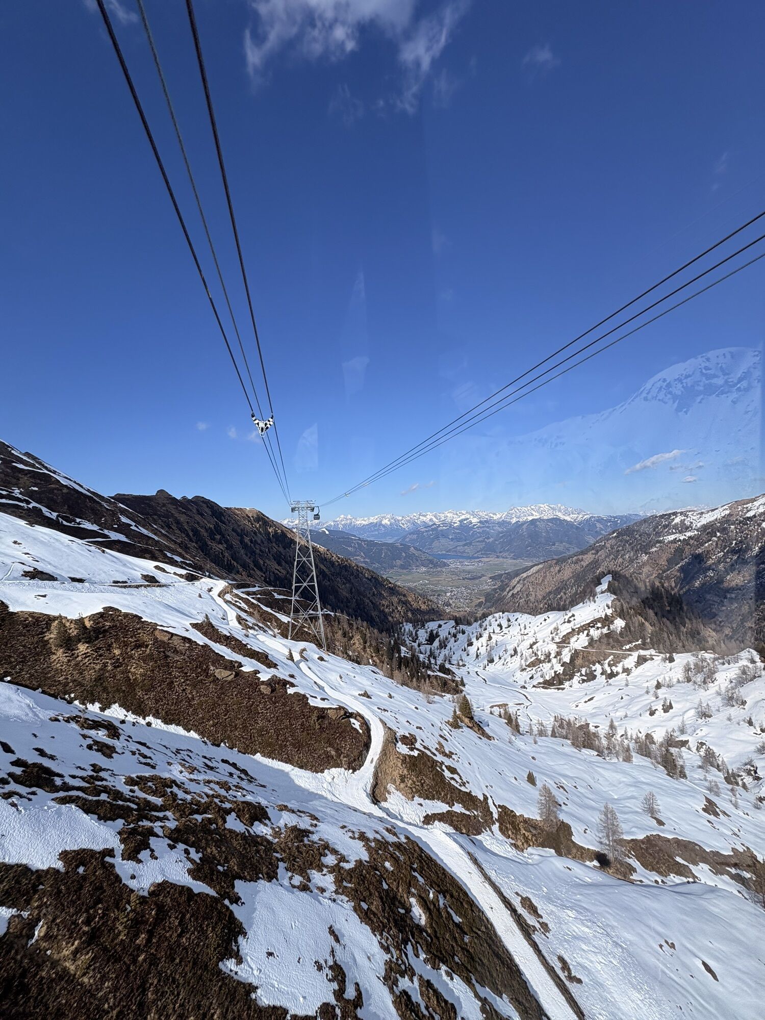
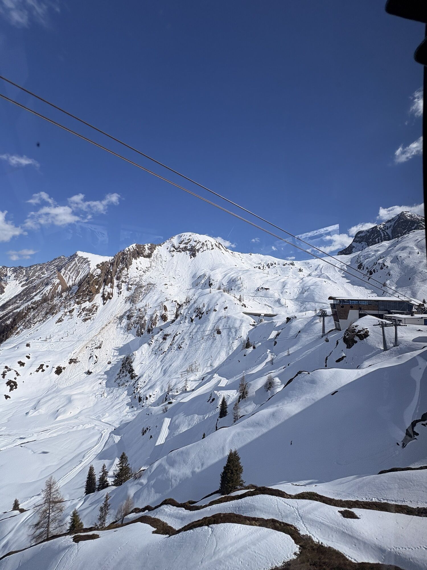
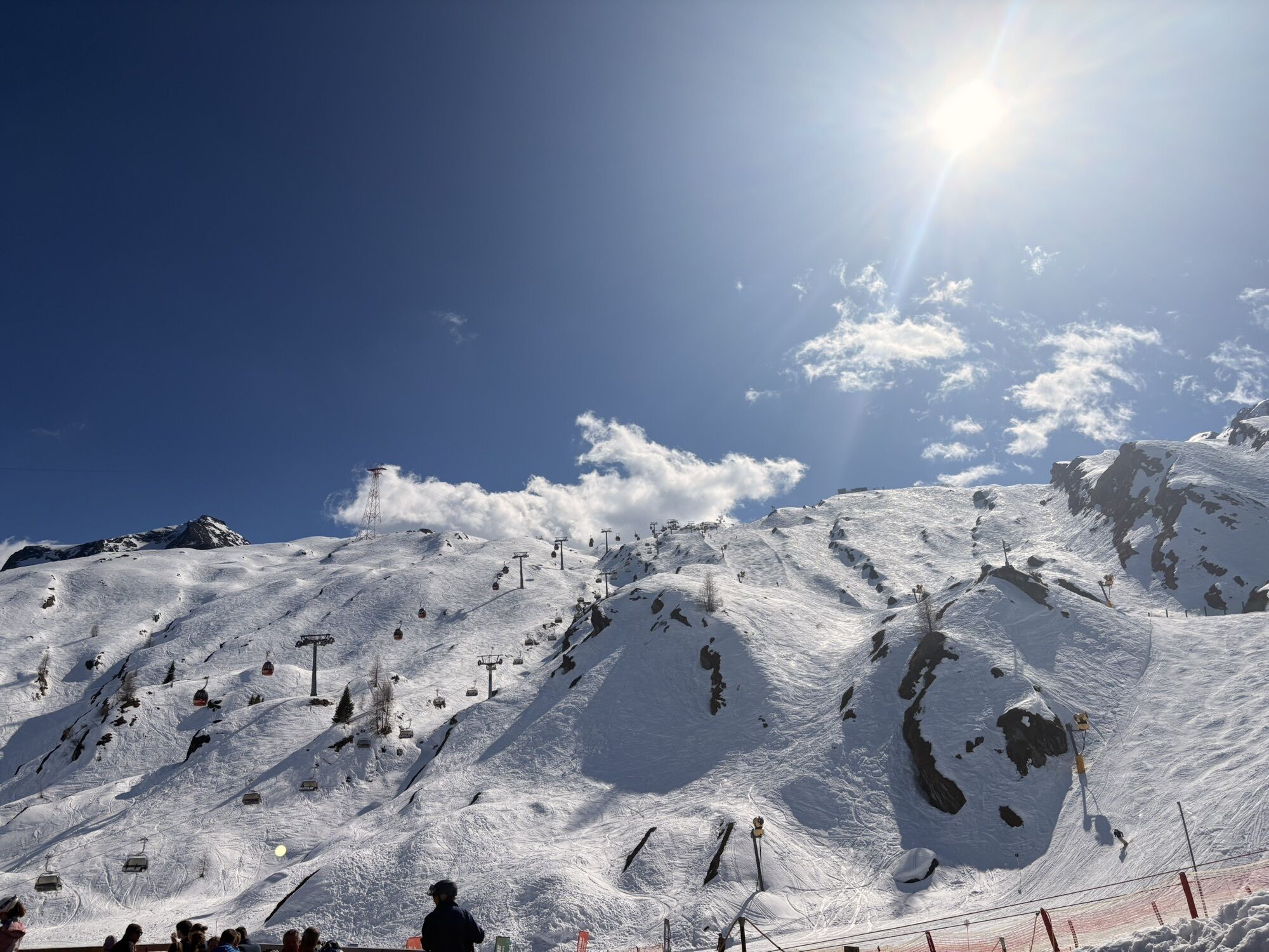
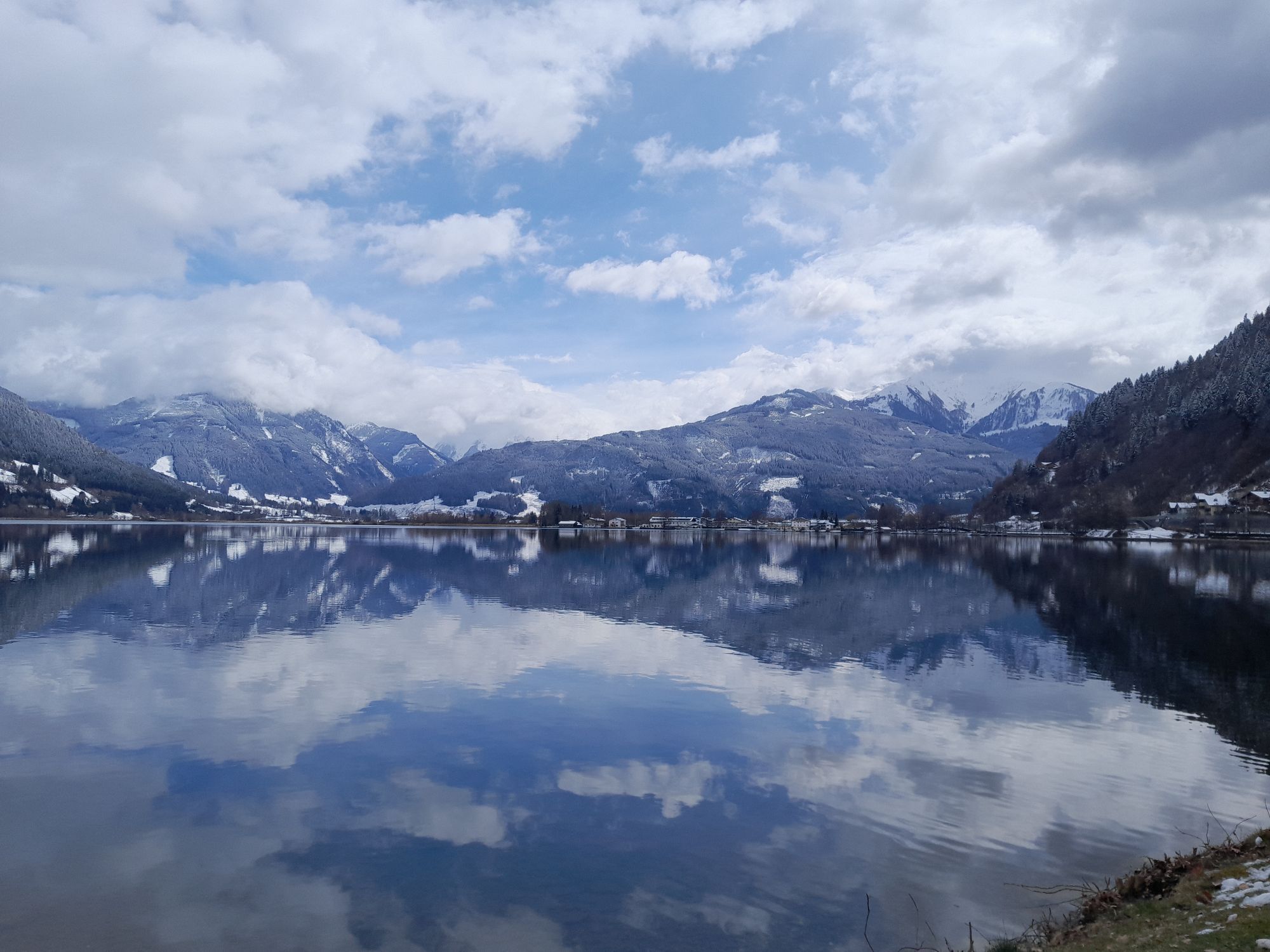
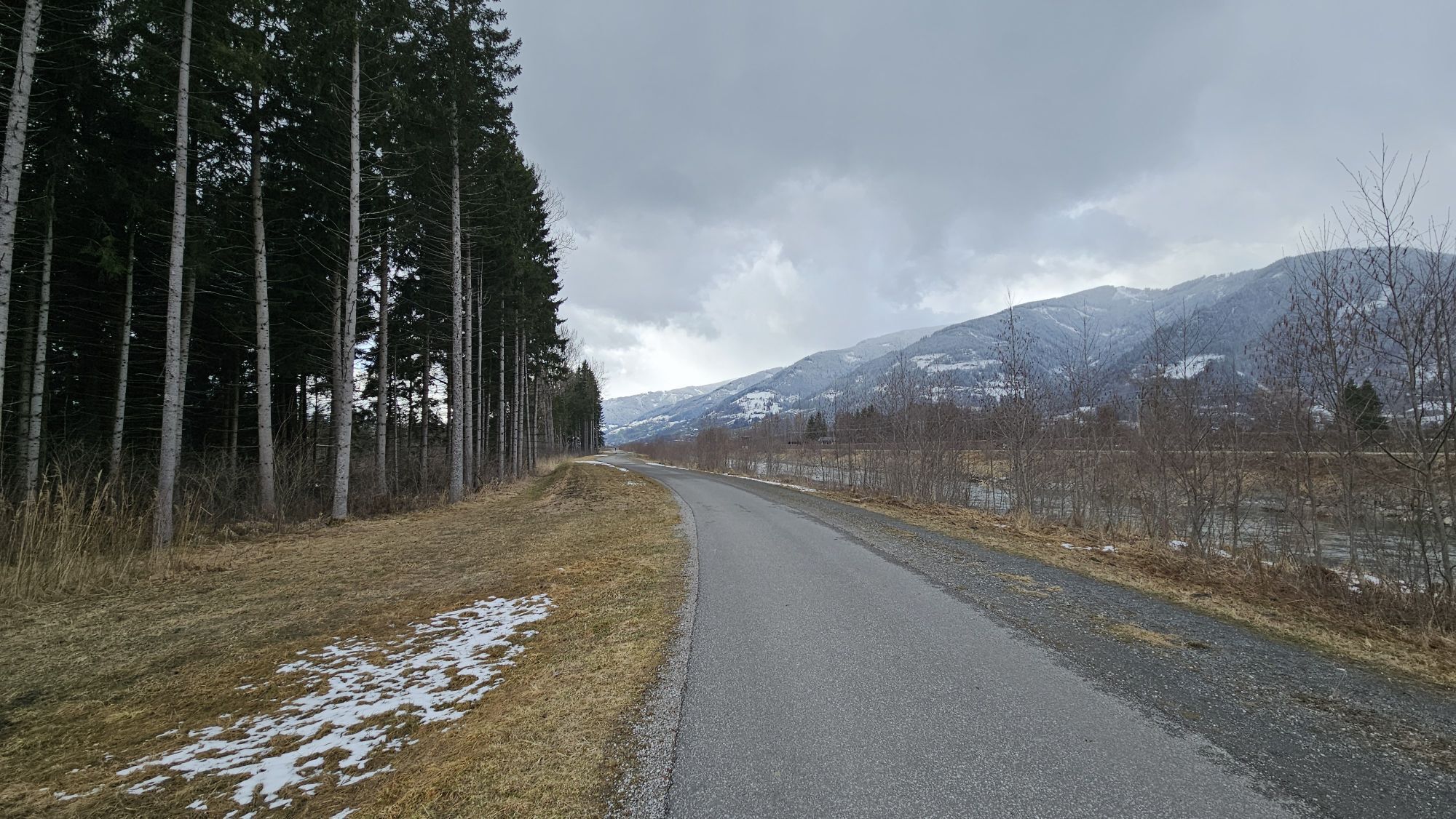
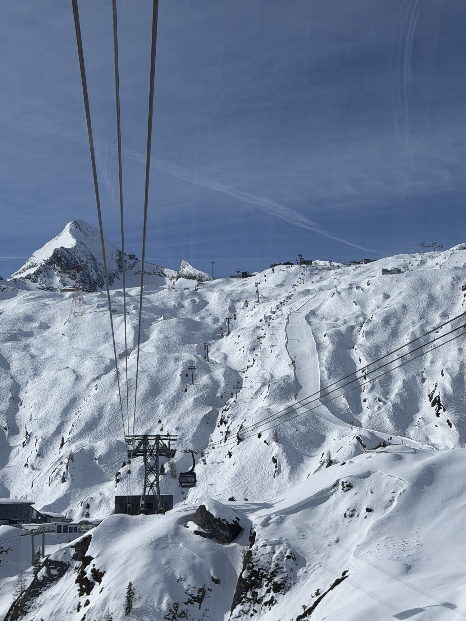
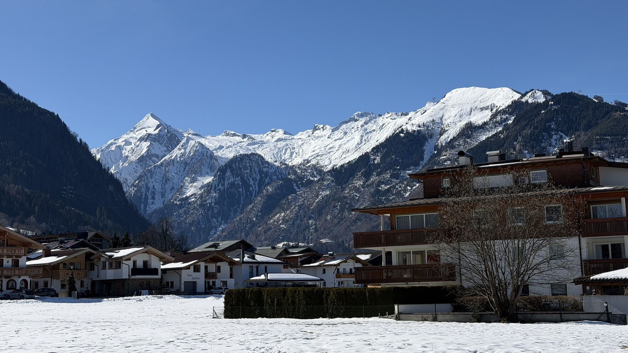
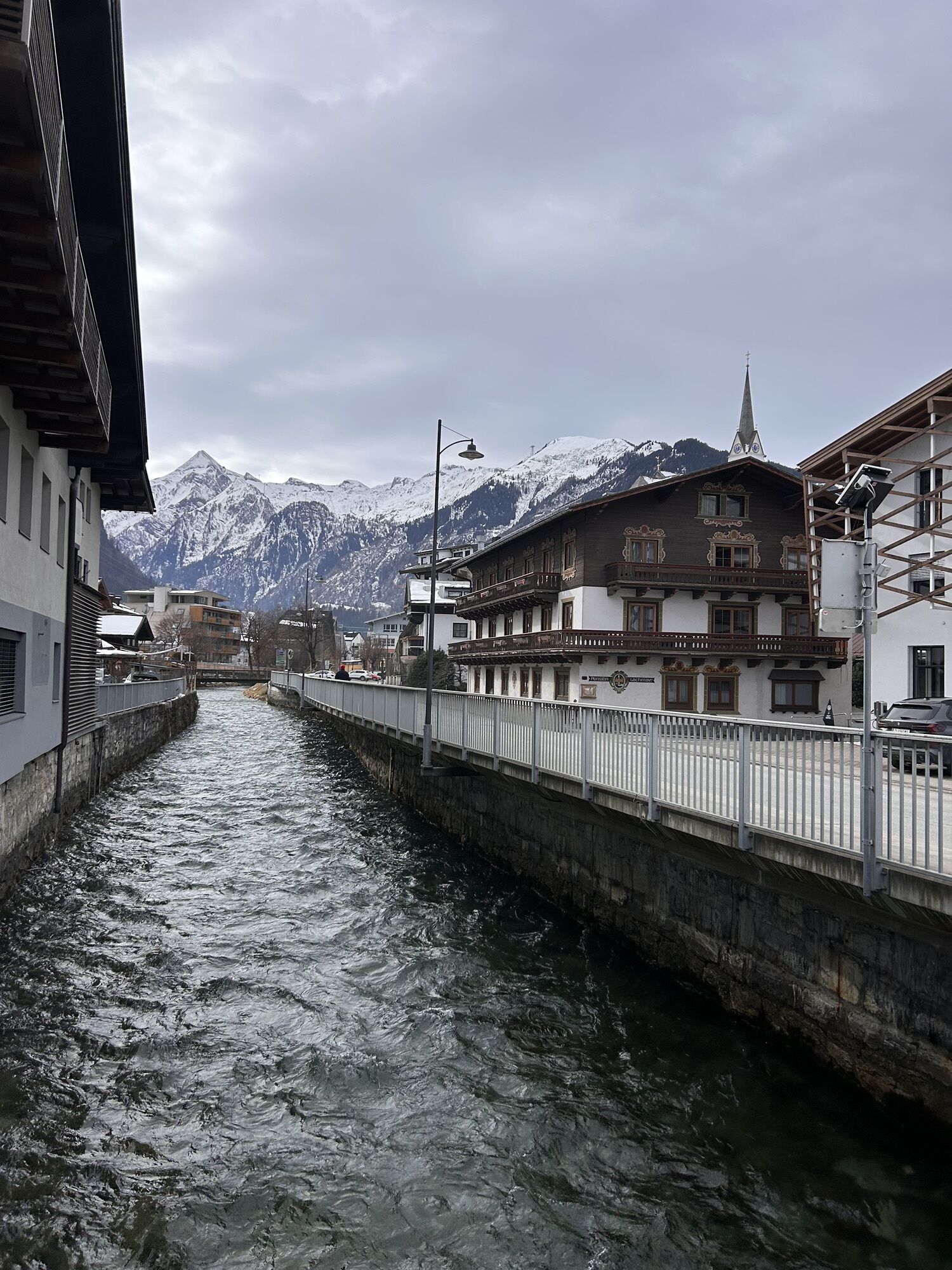
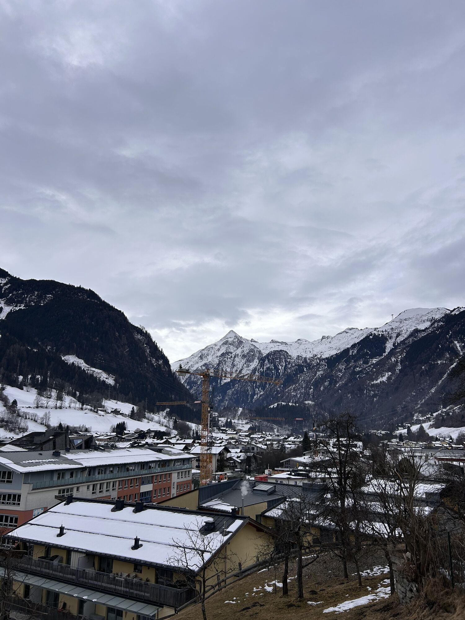
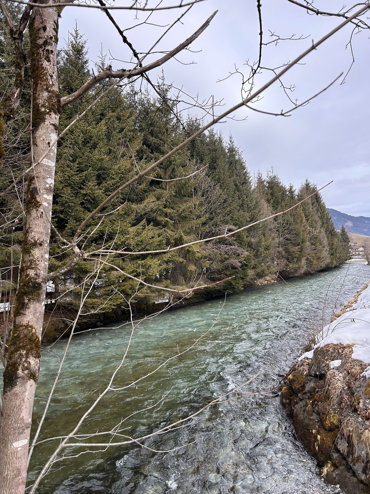
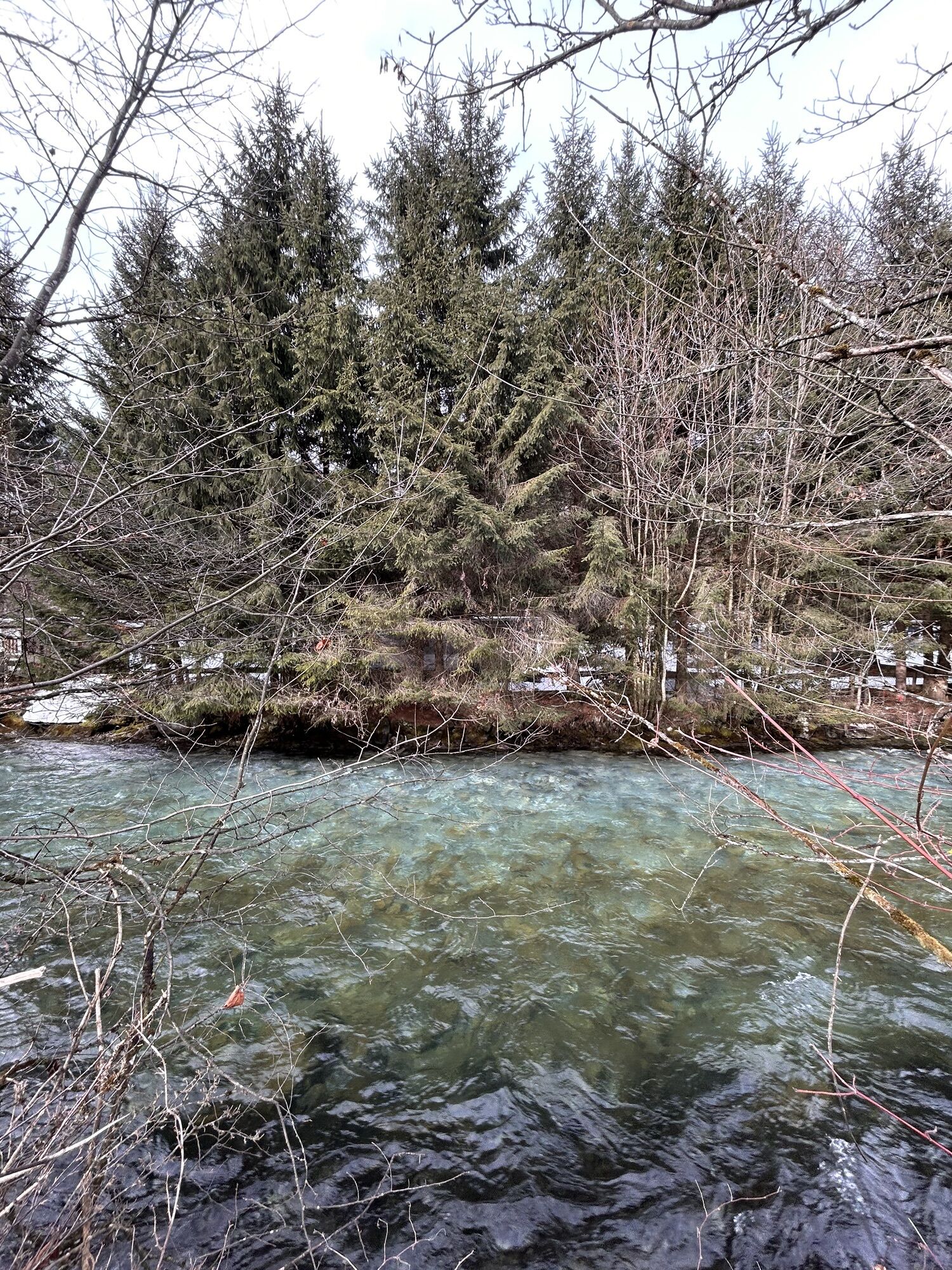
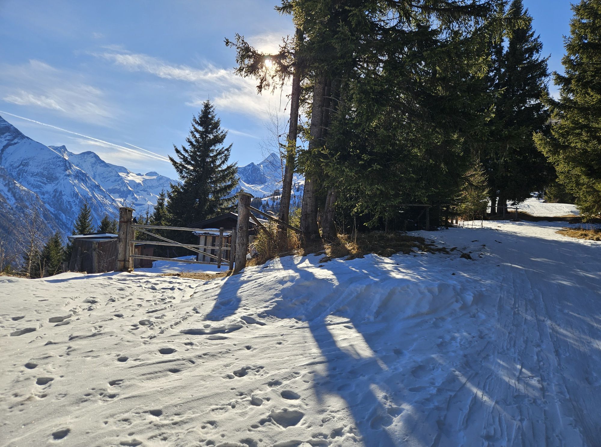
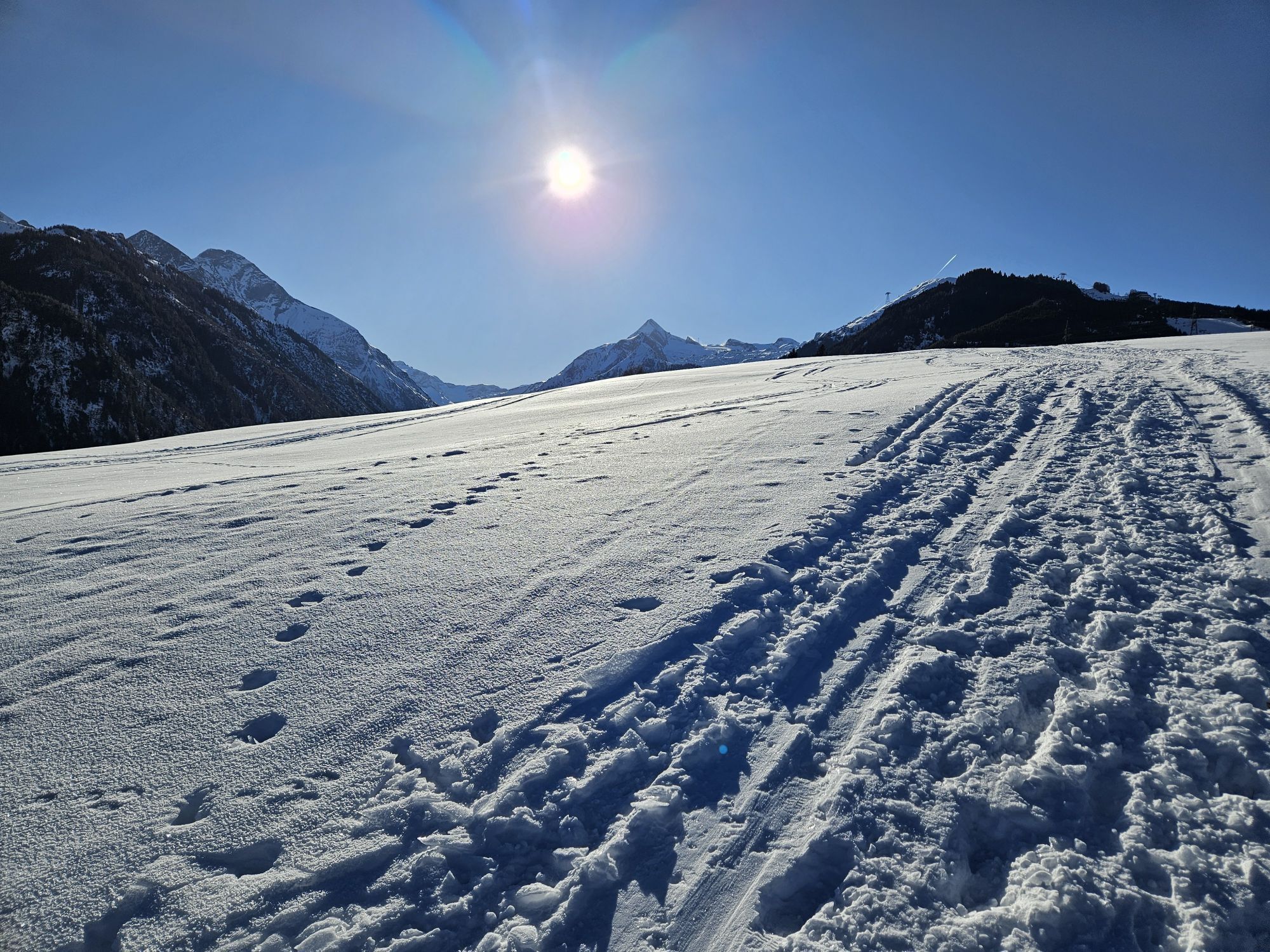
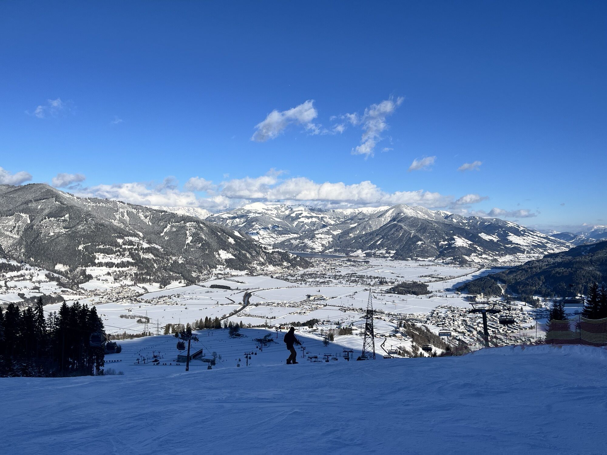
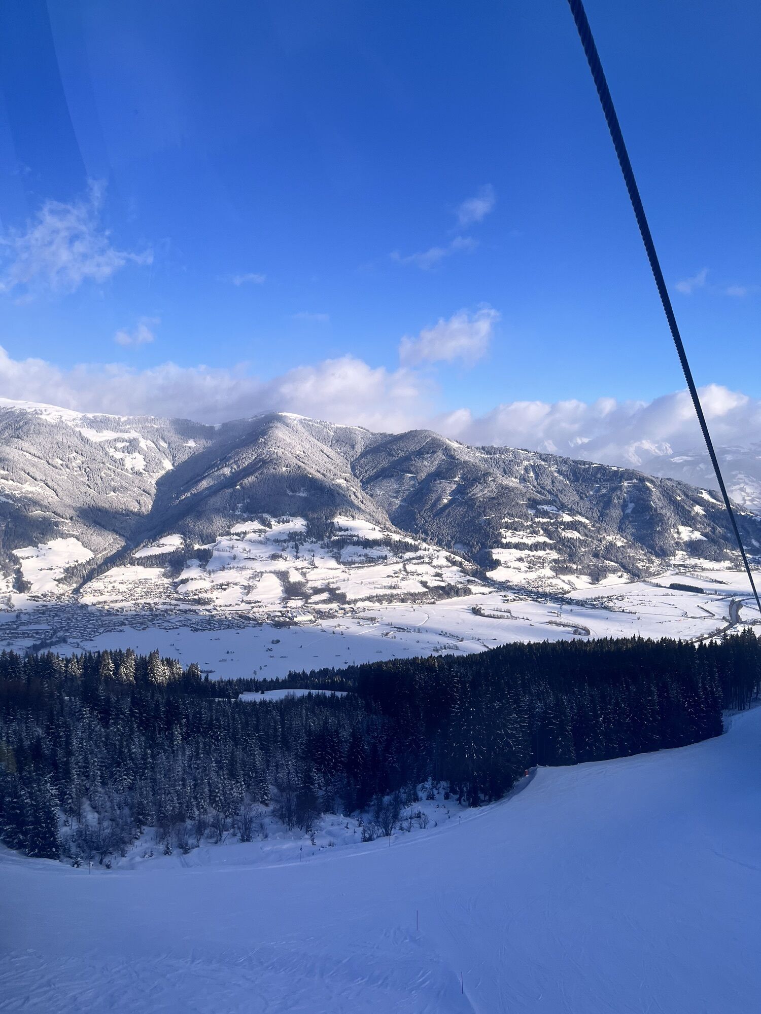
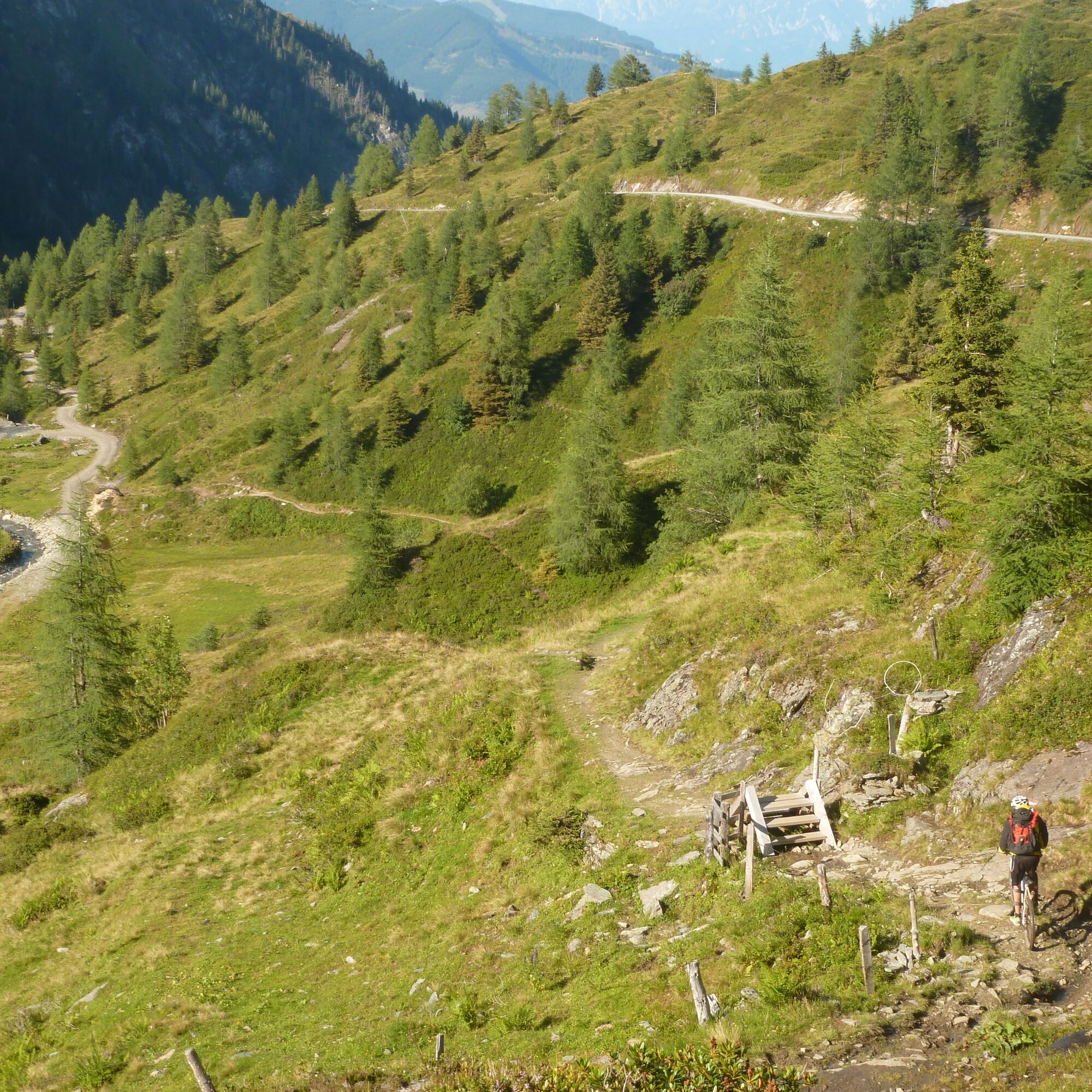
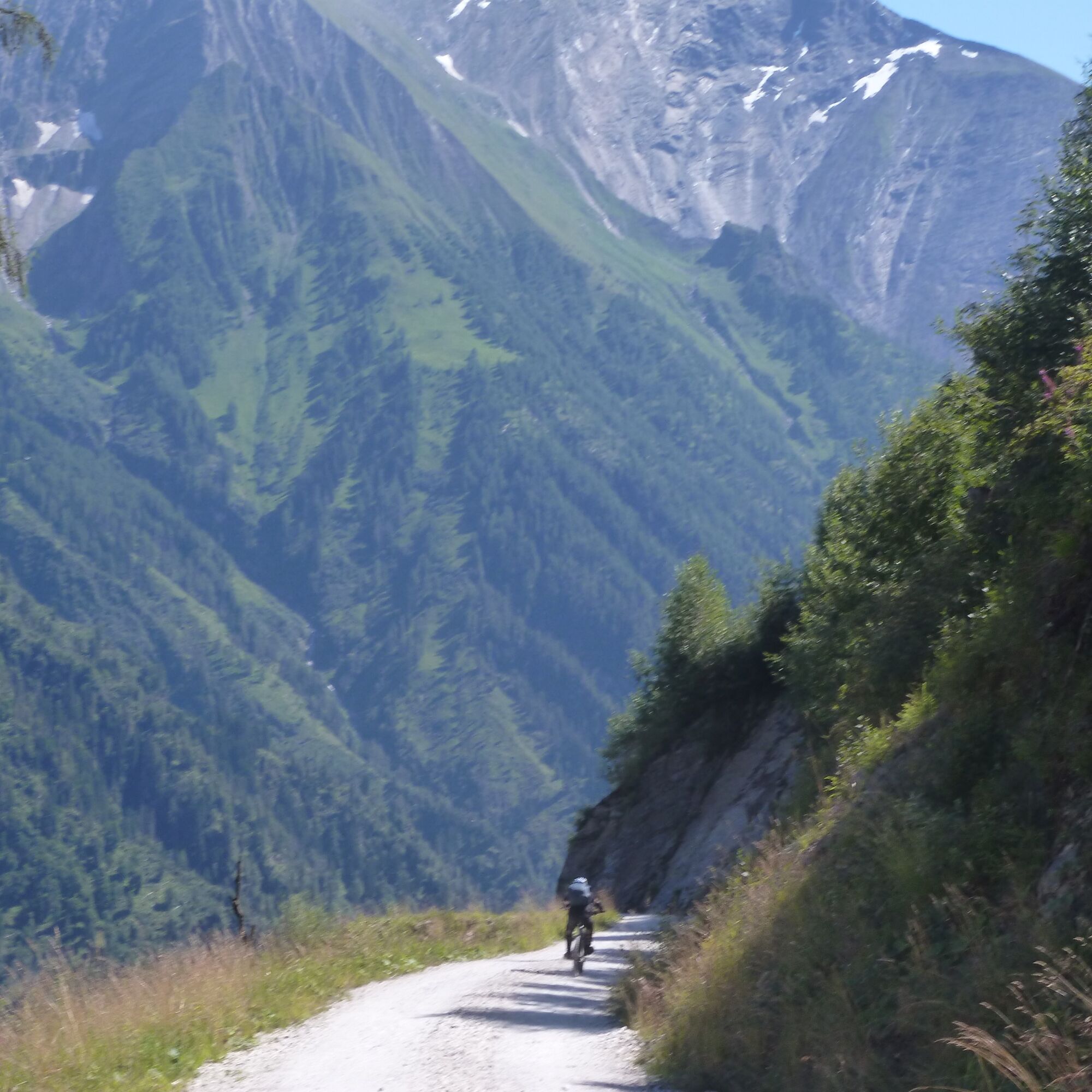
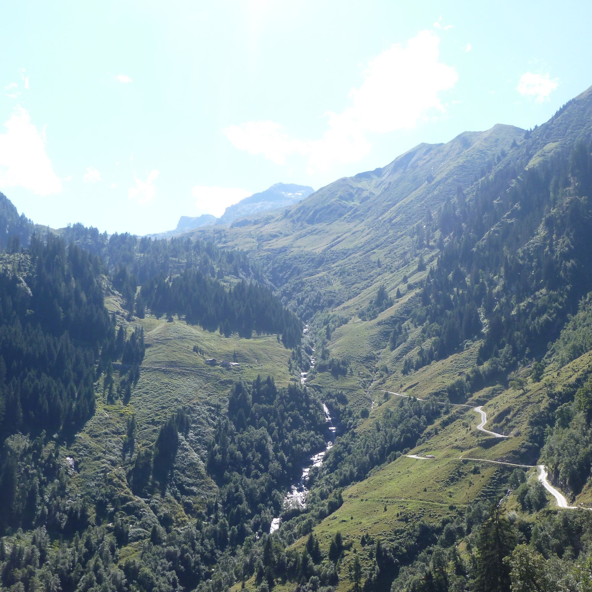
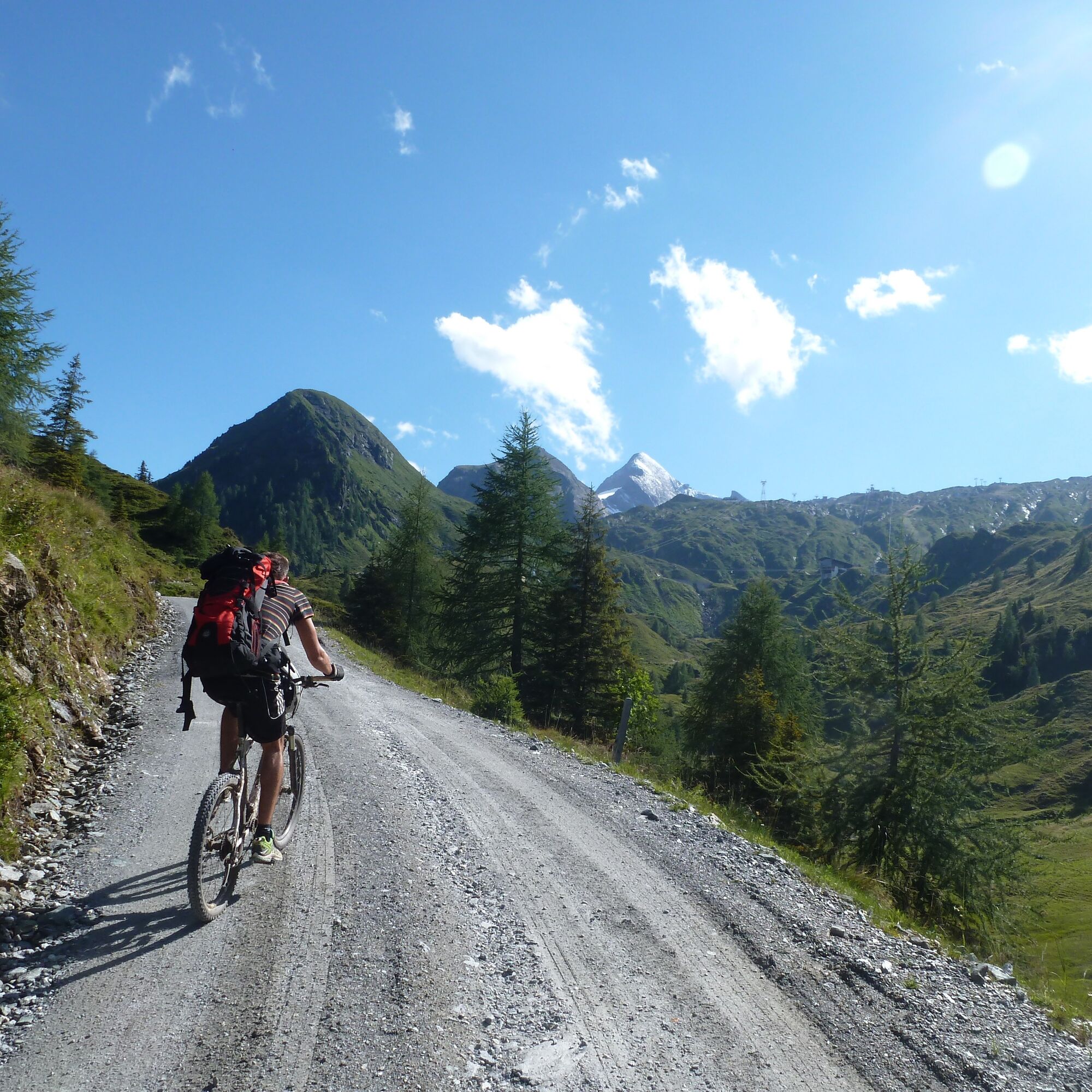
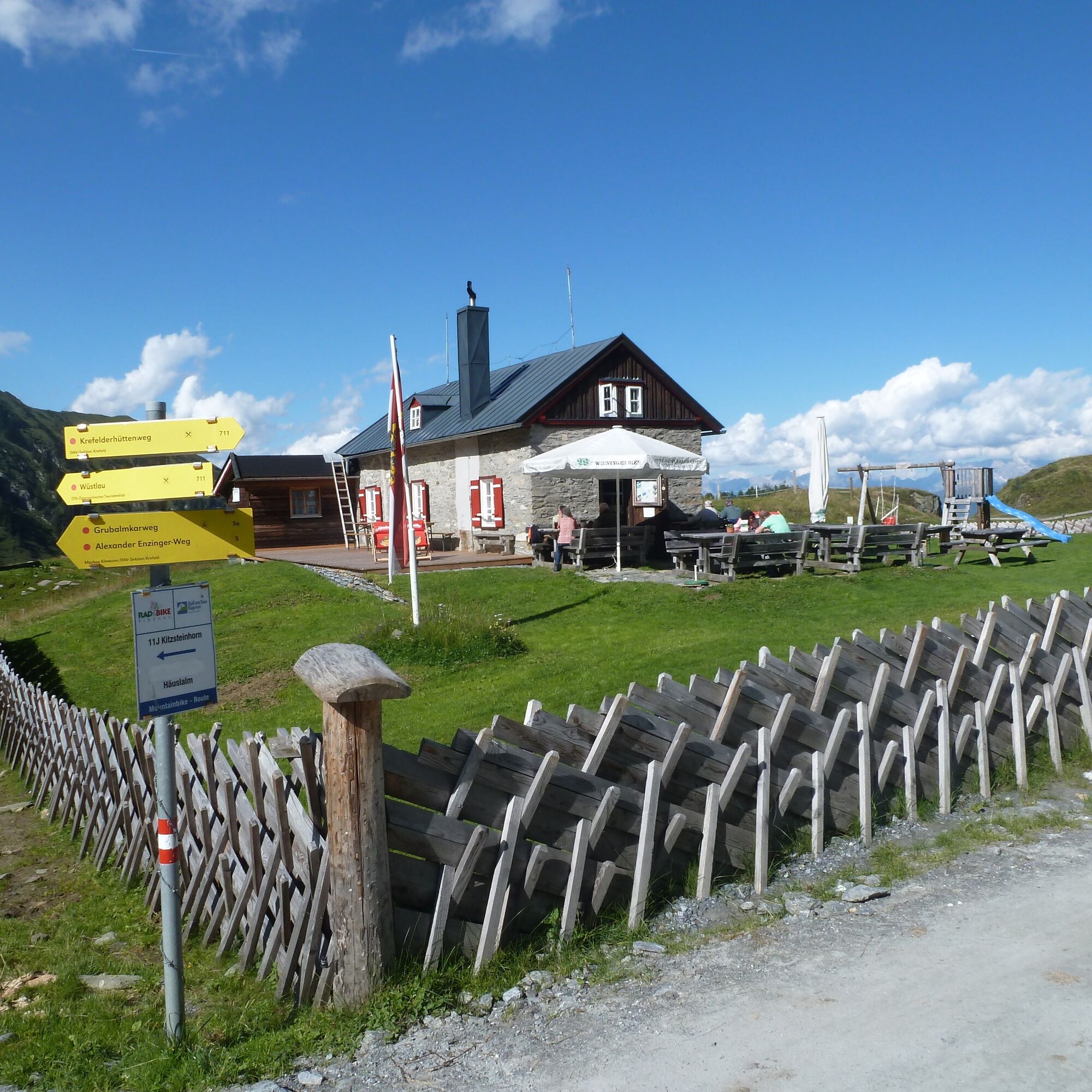
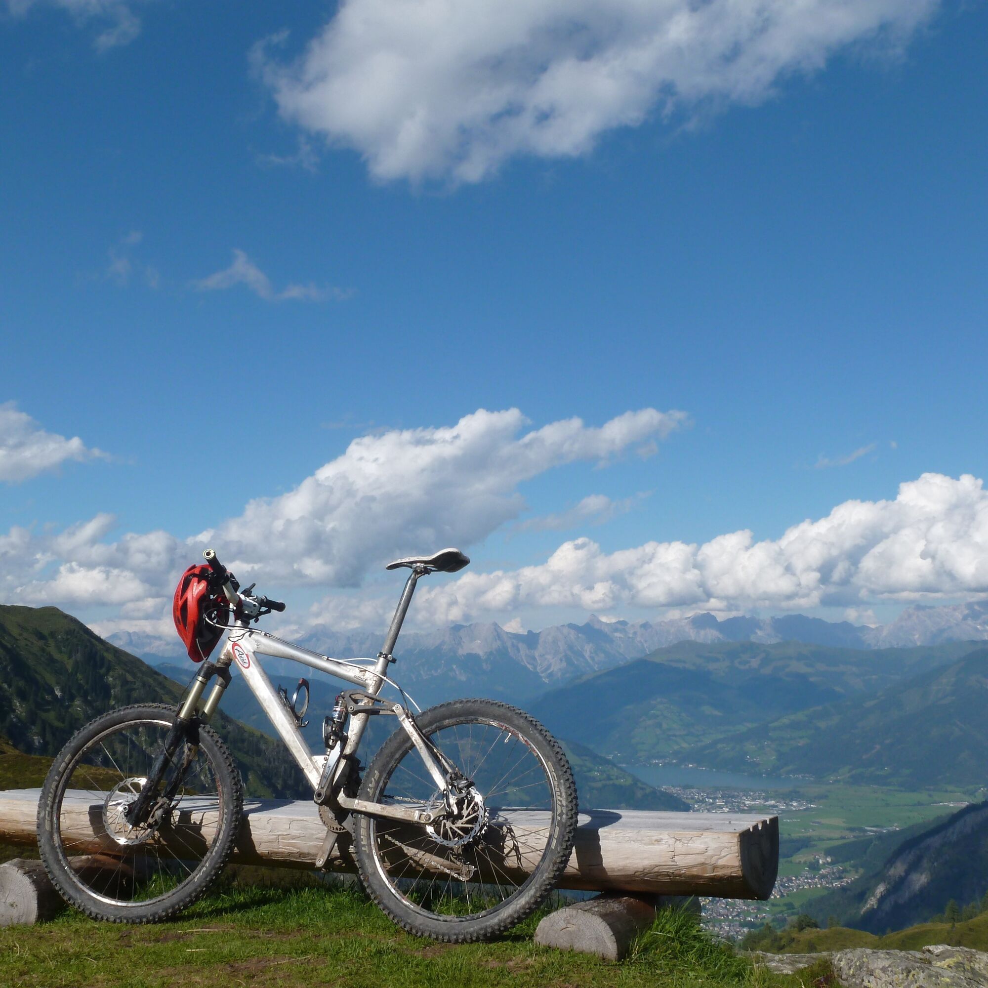
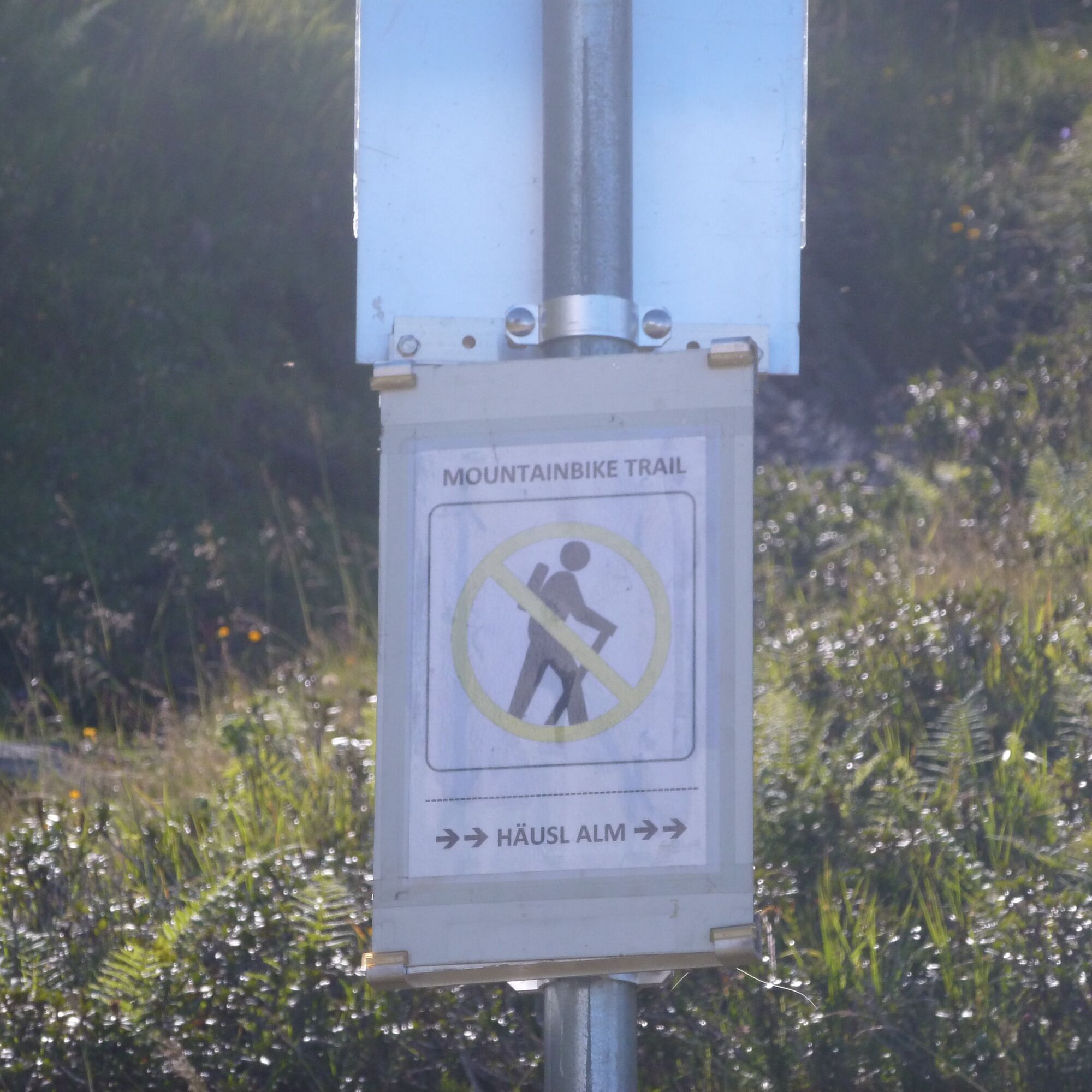
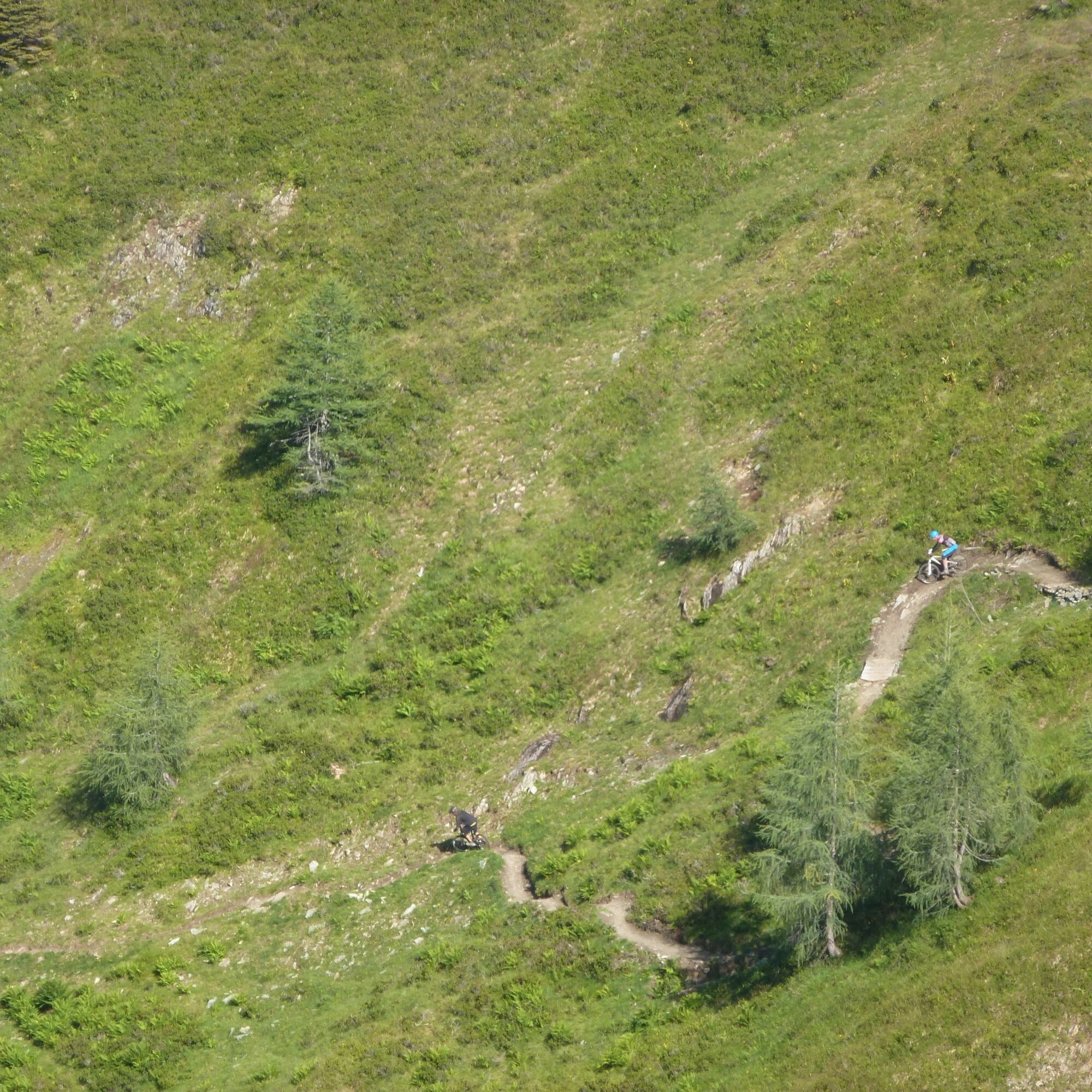
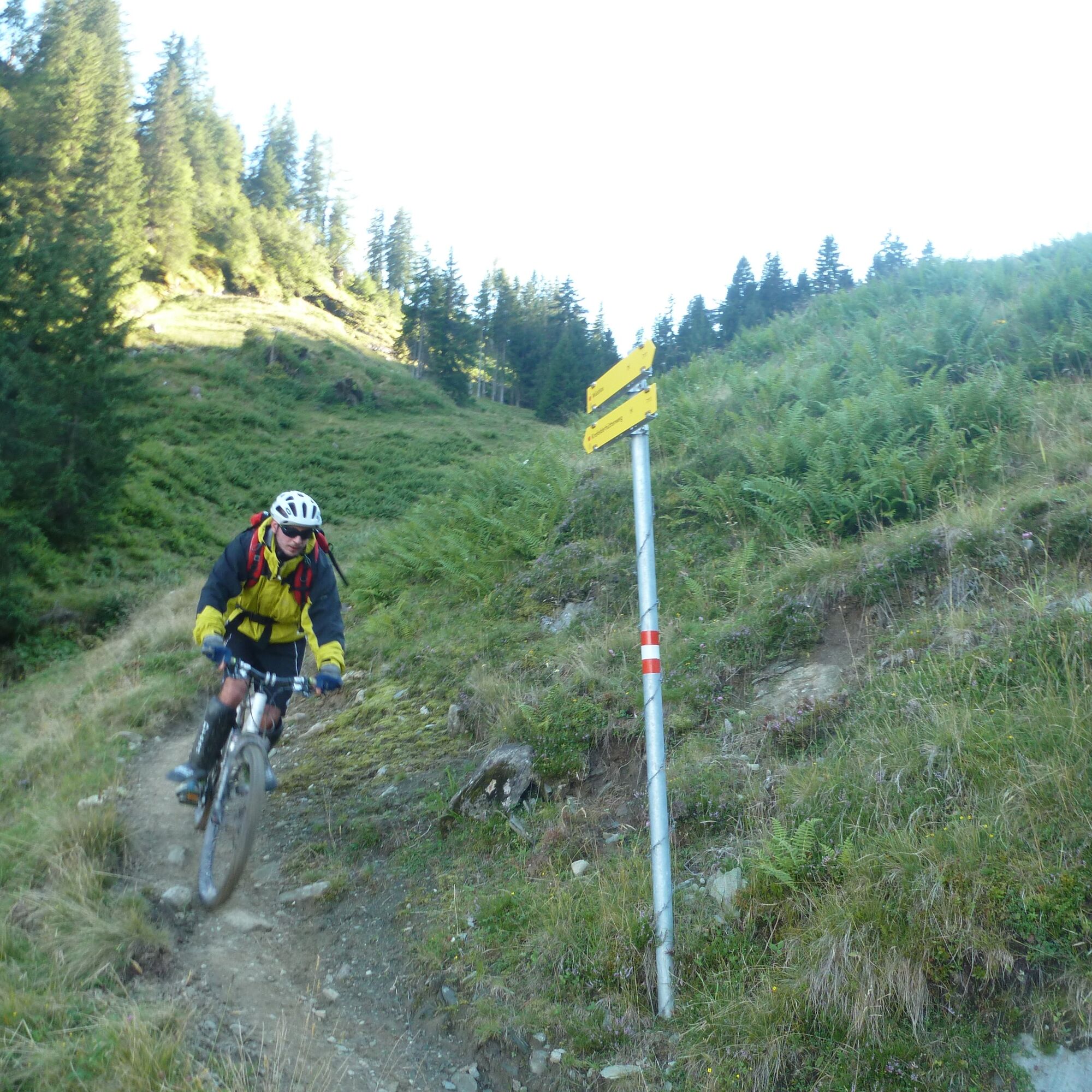
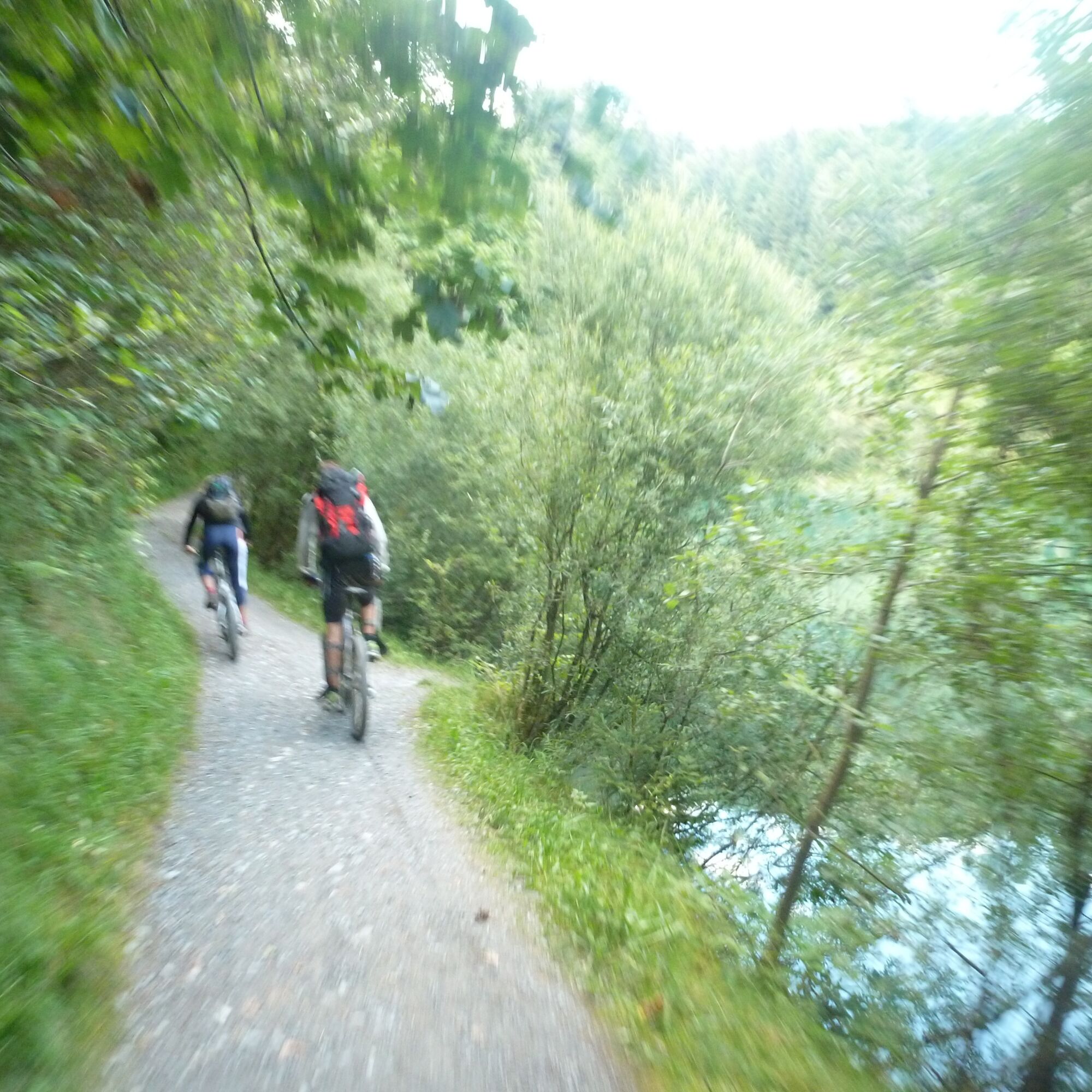
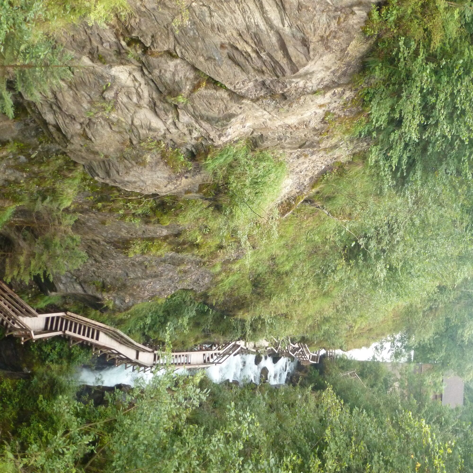
First, you cycle from Maishofen past Prielau Castle to Zell am See. From the Zellermoos district heading south at the Brückenwirt over the Saalach, immediately after the bridge turn right and after 500 meters left towards Kaprun. In the town center, shortly after the church, turn right onto the paved path towards Maiskogel (marking 3). Following the always good signage (Maiskogel via forest road), you never pedal very steeply up Schaufelberg. From here the path is gravel and includes steeper sections. After about 750 meters of elevation gain, the Maiskogel Alm at the top station of the Maiskogel cable car is reached. Passing this on the right, there is a short descent down to Steinbauernalm. Now another 700 meters of elevation gain have to be mastered. Partly quite steep, but all the more scenic, you cycle past Eder-Grundalm to Salzburger Hut and finally in a large loop to Häuslalm at the top station of the Panorama cable car, where you can be sure of the admiring looks of cable car users. The magnificent panorama of the Salzburg High Tauern almost makes you forget that you are in a tourist area. If you still haven’t had enough here, you can continue another 450 meters uphill to the Alpincenter (or push the bike). For all others, at Häuslalm one of the best official bike descents in Austria begins: the "Wüstlau Trail" leads very variedly for almost 8 kilometers and 1100 meters downhill (note: from September 10 the trail is closed to bikers!). Technical sections alternate with flowing stretches. Initially, it goes over alpine meadows to the Salzburger Hut, which invites you to take a break. Then at ongoing difficulty you ride through wooded sections and over alpine meadows down to Eder-Grundalm. Up to here, there is also always the opportunity to skip a section and detour via the gravel road. If you prefer a less demanding descent, you now ride a bit back uphill on the ascent path towards Maiskogel and glide down the technically easy Bacherl Trail to Klammsee. However, from here the Wüstlau Trail awaits its heart section: over numerous hairpin bends and steeper, rocky sections, you ride down to the valley floor at ongoing difficulty. By now, you probably wish you had bought a day ticket for the cable car to enjoy this descent delicacy once again. Maybe next time. Much more leisurely, you now follow the Kapruner Ache downstream to the turquoise Klammsee, which invites you to refresh depending on the temperature; in any case, you can refresh yourself inside the "Klammseestüberl." Over the impressive Sigmund-Thun Gorge it goes back to Kaprun and from there via the route through Zellermoos to Zell am See and back to Maishofen.

Ascent often sunny, over asphalt and gravel. To Maiskogel only short steeper sections, between Steinbauernalm and Salzburger Hut relatively steep over long stretches. Descent via technically demanding trail, which can also be bypassed.
Tak
Tak
The Wüstlau Trail is technically demanding and not suitable for beginners. Helmet is mandatory, protectors are recommended. Since the path is sometimes also used by hikers, it is essential to ride with a certain foresight and a friendly greeting or a "thank you" for giving way also doesn’t hurt.
Possibly via B 311 to Zell am See, then via B168 to the roundabout at Fürth and here left for a few kilometers to the parking lot at the entrance to Kaprun. About 14km, 15 minutes.
Several public parking lots in Maishofen/parking at the summer toboggan run "Maisiflitzer" in Kaprun.
S3
Trails at Kitzsteinhorn: www.kitzsteinhorn.at/de/mountainbike/...
The route can be shortened by various mountain lifts (also partially).
Kamery internetowe z trasy
Schmittenhöhe
Sonnenkar
Gipfel Kitzsteinhorn
Alpincenter
Langwiedboden
Kaprun - Maiskogel
Sonnkogel
Schmittenhöhe
Mitterberg bei Thumersbach
Zell am See / Hotel Berner
Schmittenhöhe
Schmittenhöhe
Zell am See
Thumersbach
Sonnenkar
Alpincenter
Kaprun
Maishofen Sausteige
Maishofen - Schloss Kammer
Bergstation Maiskogelbahn
Kaprun - Wasserfallboden
Maishofen Dorfplatz
Schmittenhöhe
Popularne wycieczki w okolicy
- 4,3
Schwalbenwand Nr. 80, 81, 82
średniWędrówka 13,0 km - 4,8
Sigmund Thun Klamm, Klammsee, Bürgkogel
światłoWędrówka 4,56 km - 4,0
Maurerkogel (Top)
Wędrówka 10,5 km - 4,9
Hochsonnberg Runde
średniMountainbike 59,8 km - 4,5
Thumersbach, Runde um den Zeller See
światłoWędrówka 13,3 km - 4,4
Sigmund Thun Klamm
światłoWędrówka 3,10 km - 4,2
Hundstein-Runde von Maria Alm
ciężkiMountainbike 44,4 km - 5,0
Panorama route 3 peaks and 2 lakes
średniWędrówka 7,21 km - 4,9
Großes Wiesbachhorn 3564 mnv Kaprun, Austrija
ciężkiWędrówka 13,4 km - 3,9
Großglockner Hochalpenstrasse
ciężkiJazda na rowerze 20,2 km
Wędrówki i tropienie


Nie przegap ofert i inspiracji na następne wakacje
Twój adres e-mail została dodana do listy mailingowej.