Nawigacja
Pobierz tę trasę na swój telefon komórkowy
Mapa
Sinnlehenalm loop
średni
Mountainbike
8,33 km
Zeskanuj kod QR i rozpocznij nawigację w aplikacji bergfex.
QR Code
Wędrówki i tropienie
Pobierz dla iOS
Pobierz dla systemu Android

Sinnlehenalm loop

średni
Mountainbike
Odległość
8,33 km
Czas trwania
01:00 h
Ascent
170 hm
Poziom morza
749 - 960 m

Poziom trudności: S0

Ścieżka do pobrania
Mapa
Sinnlehenalm loop
średni
Mountainbike
8,33 km

From the centre of Leogang, the route heads straight uphill. You cycle along wide forest tracks to the Sinnlehenalm, which lies at 950 metres above sea level – the perfect spot for a breather. The route...

Opis
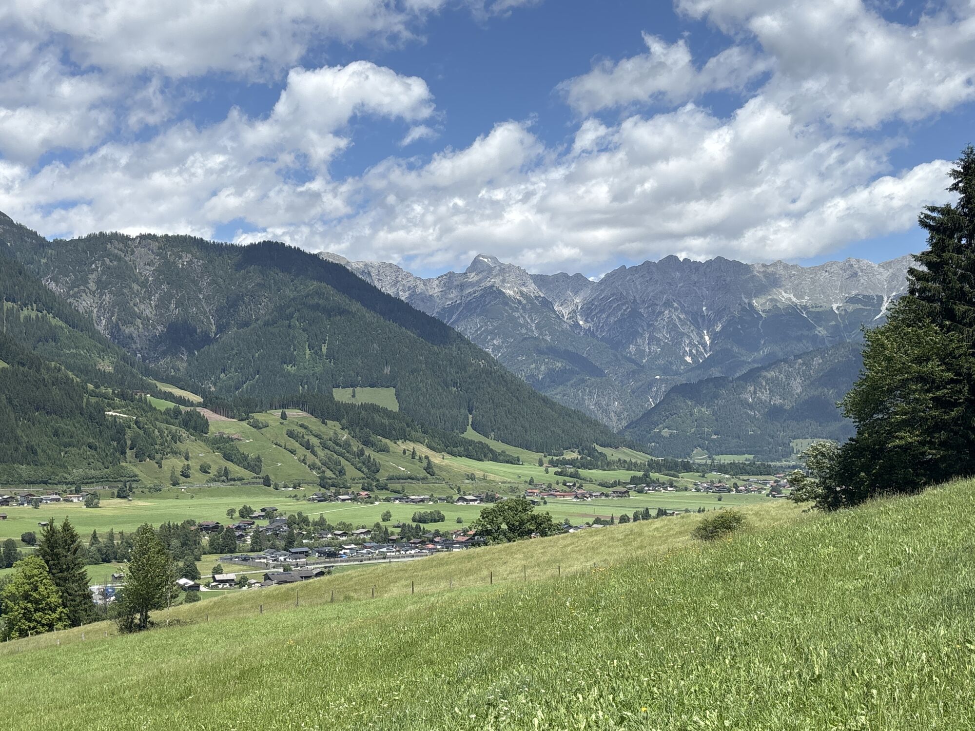
From the centre of Leogang, the route heads straight uphill. You cycle along wide forest tracks to the Sinnlehenalm, which lies at 950 metres above sea level – the perfect spot for a breather. The route then continues briefly uphill along a slightly narrower path (Please be considerate of hikers!) before the descent back down into the valley begins. You then follow the cycle path back to Leogang.


TIP: If you like, you can also cycle on further to the Berggasthof Biberg or Berggasthof Huggenberg. To do this, after the narrow uphill section past the Sinnlehenalm, cycle briefly downhill again and then turn right onto the forest road.

Trasa
Pfarrkirche Leogang
(788 m)
Miejsce kultu
0,0 km
Pietà
(808 m)
Miejsce kultu
0,3 km
Sinnlehen Alm
(920 m)
Schronienie
1,9 km
Hirnreit
(789 m)
Wioska
1,9 km
Sinning
(775 m)
Wioska
6,5 km
Trasa
Mapa
Sinnlehenalm loop
średni
Mountainbike
8,33 km
Pfarrkirche Leogang
(788 m)
Miejsce kultu
0,0 km
Leogang
(788 m)
Wioska
0,0 km
Pietà
(808 m)
Miejsce kultu
0,3 km
Madreit
(950 m)
Wioska
0,7 km
Wimbach
(864 m)
Korytarz/teren
1,1 km
Sinnlehen Alm
(920 m)
Schronienie
1,9 km
Hirnreit
(789 m)
Wioska
1,9 km
Otting
(751 m)
Rozliczenie
6,1 km
Sinning
(775 m)
Wioska
6,5 km
Rosental
(781 m)
Wioska
7,6 km
Leogang
(788 m)
Wioska
8,3 km
Pfarrkirche Leogang
(788 m)
Miejsce kultu
8,3 km
Informacje o wycieczce

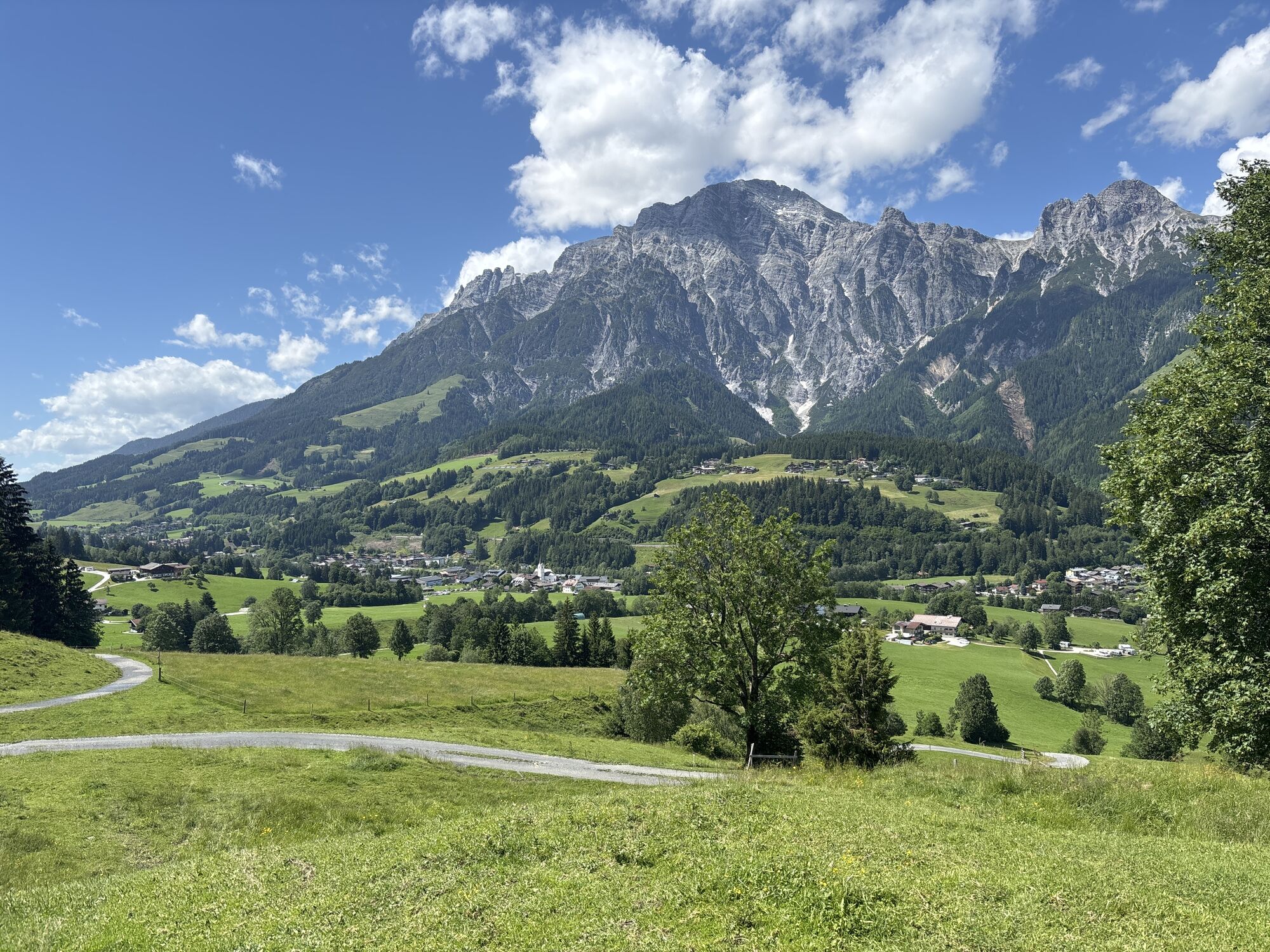
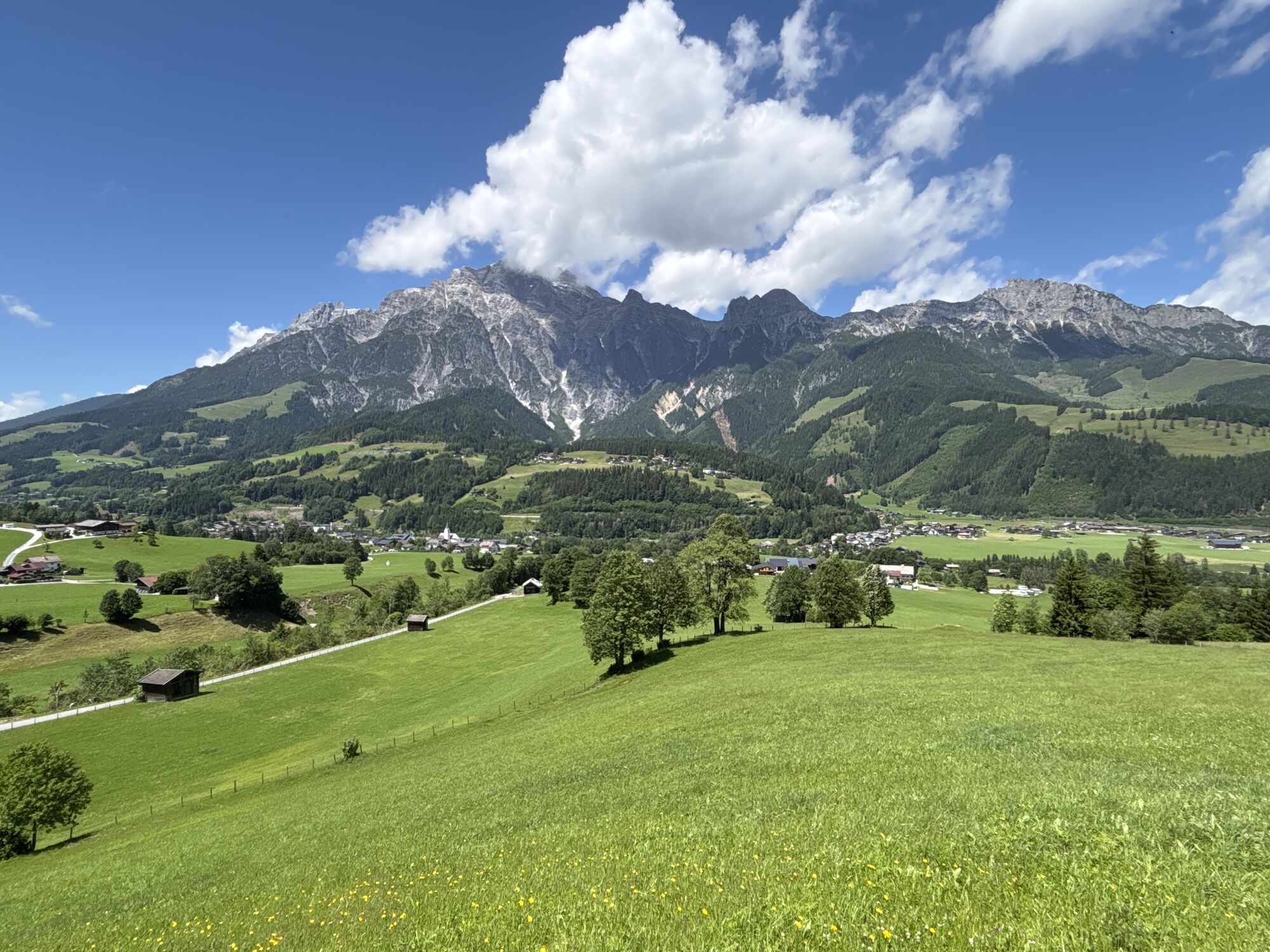
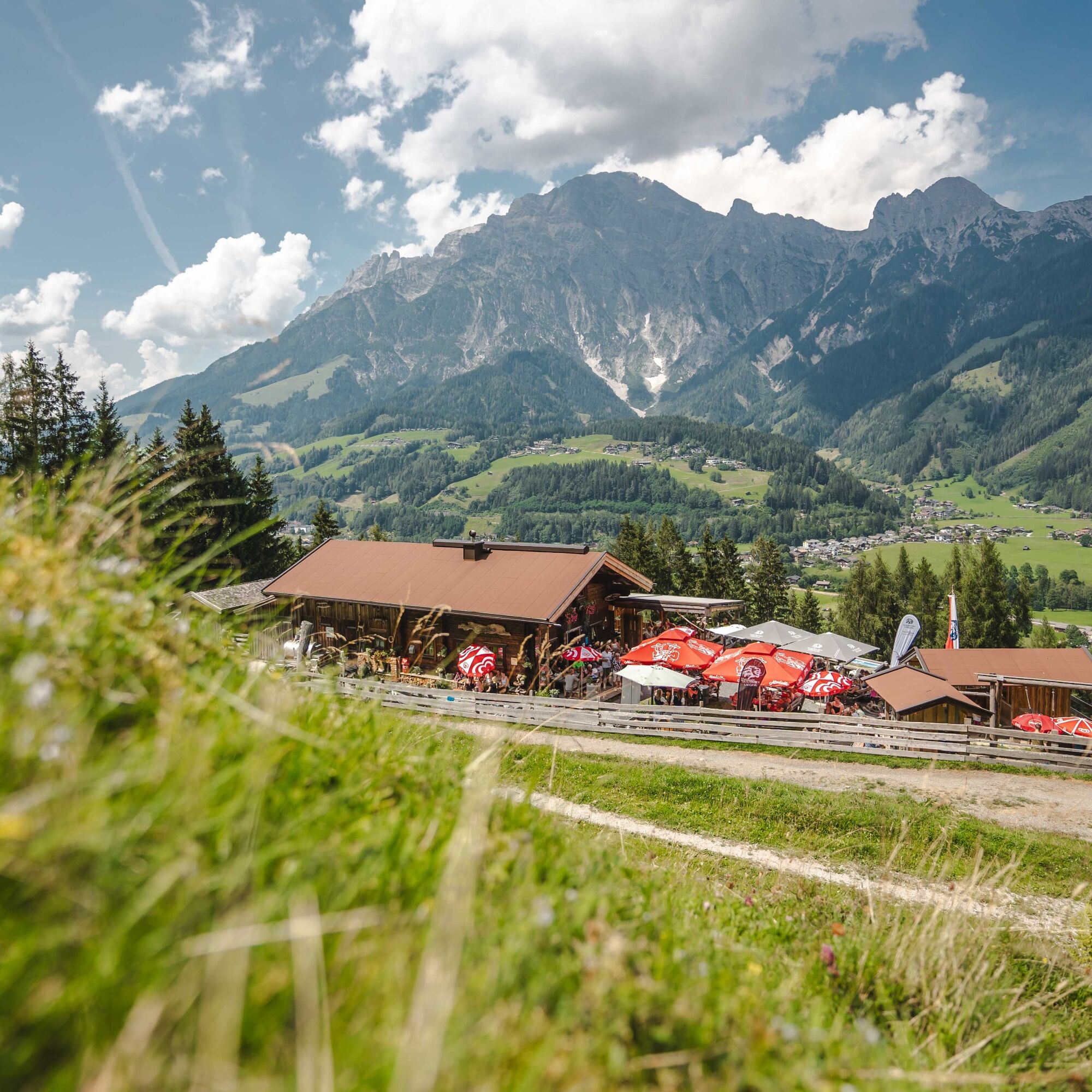
The Sinnlehenalm loop leads to the Sinnlehenalm, from which the loop takes its name, and which offers a wonderful view of the Leoganger Steinberge.

Technologia
1 / 6
Stan
3 / 6
Krajobraz
n.d.
Doświadczenie
n.d.
Autor
Logo
Udostępnij trasę
Mapa
Sinnlehenalm loop
średni
Mountainbike
8,33 km
Błąd
Wystąpił błąd. Spróbuj ponownie.
Informacje o trasie
Trasa
From the centre of Leogang, the route heads straight uphill. You cycle along wide forest tracks to the Sinnlehenalm, which lies at 950 metres above sea level – the perfect spot for a breather. The route then continues briefly uphill along a slightly narrower path (Please be considerate of hikers!) before the descent back down into the valley begins. You then follow the cycle path back to Leogang.


TIP: If you like, you can also cycle on further to the Berggasthof Biberg or Berggasthof Huggenberg. To do this, after the narrow uphill section past the Sinnlehenalm, cycle briefly downhill again and then turn right onto the forest road.

Dodatkowe informacje i wskazówki
Poziom trudności

S0

Wskazówki

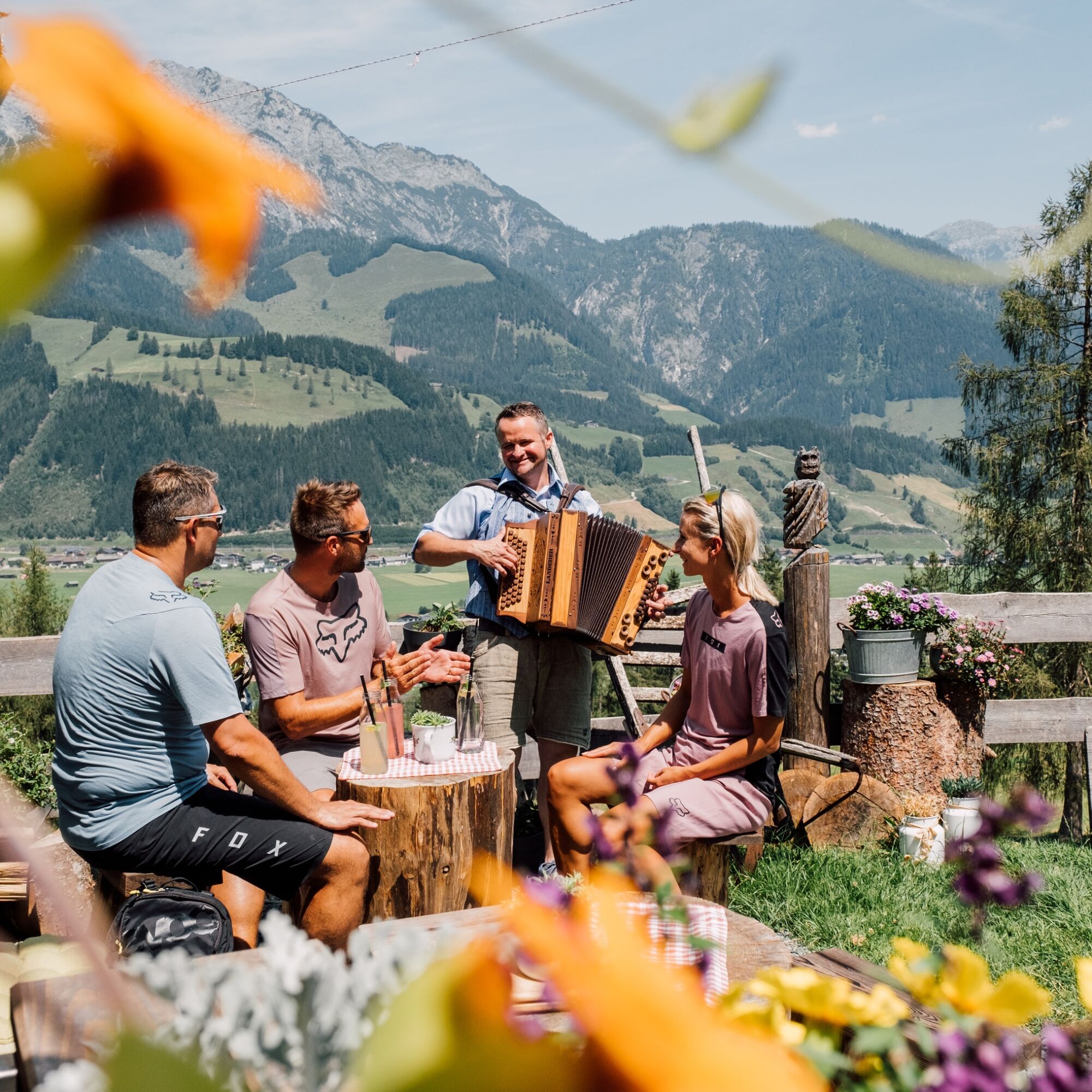
A stop-off at the beautifully situated Sinnlehenalm is not to be missed.

Nie ma jeszcze recenzji
Napisz recenzję

Recenzje pomagają innym użytkownikom wybrać kolejną przygodę. Oceniaj tylko trasę, a nie pogodę lub przekąskę.

Wybierz jedną z gwiazdek, aby ocenić wycieczkę
Zła trasa
Słaba trasa
Przeciętna wycieczka
Dobra wycieczka
Doskonała wycieczka
bergfex logoUzyskaj wgląd Zawsze na żywo z ponad 9 500 kamer internetowych. bergfex Jako użytkownik Pro, możesz teraz zobaczyć odpowiednie kamery internetowe dla wielu wycieczek w aplikacji wycieczki od. Pozwala to na bezpośredni podgląd aktualnych warunków.
Wędrówki i tropienie

Wędrówki i tropienie

Pobierz dla iOSPobierz dla systemu Android
Wędrówki i tropienie
Ponad 550.000 propozycji wycieczek, szczegółowe mapy i intuicyjny planer tras sprawiają, że aplikacja jest niezbędna dla wszystkich entuzjastów przyrody.
bergfex