



9C Schaunbergalm Mühlbachtal

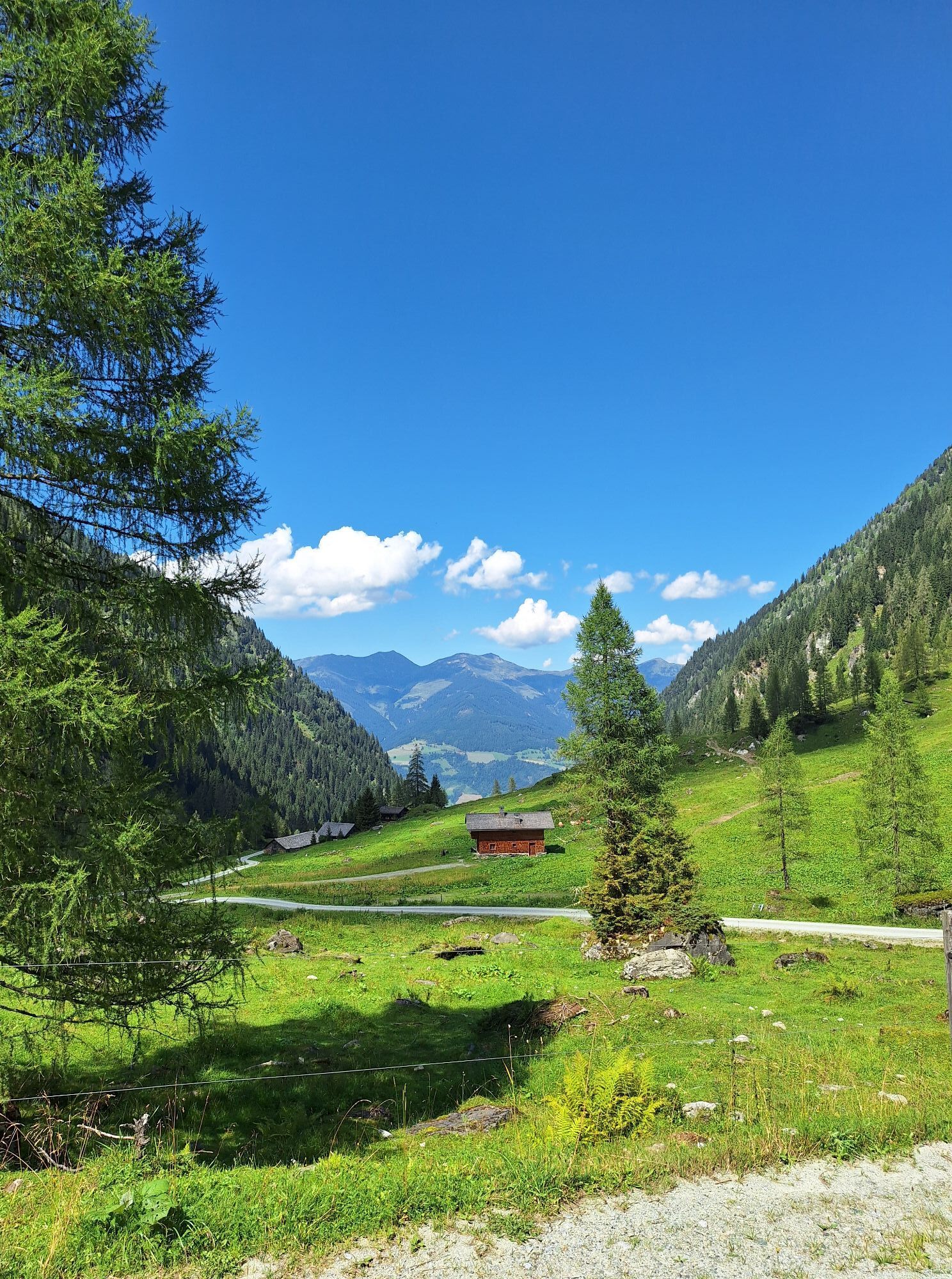
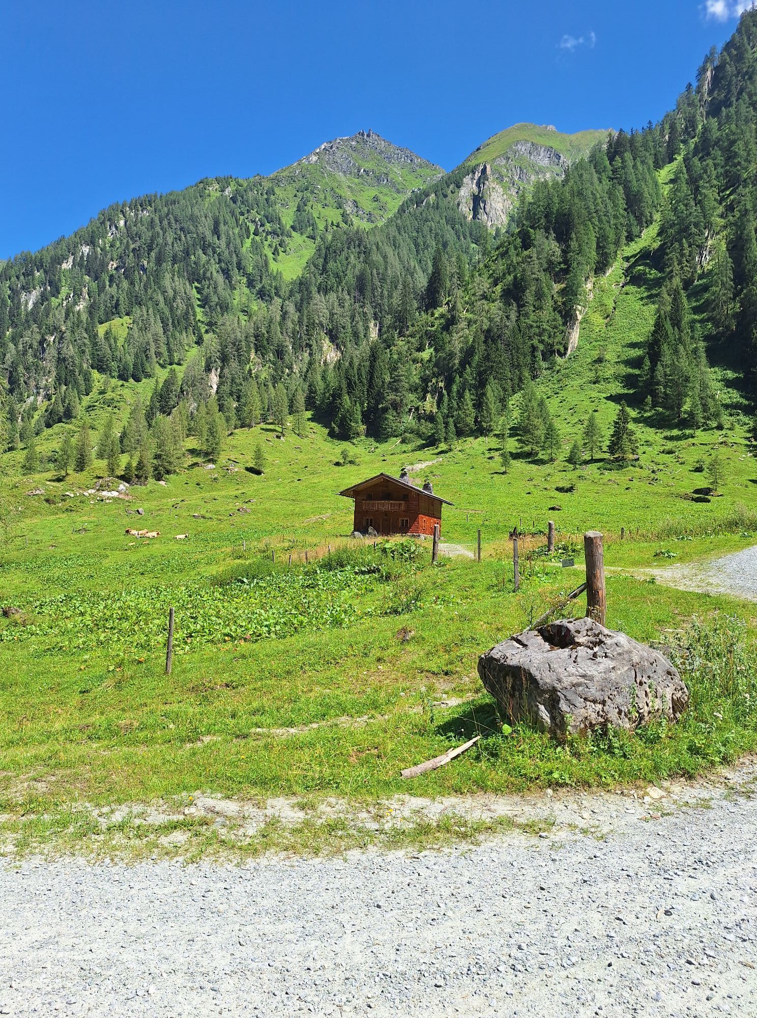
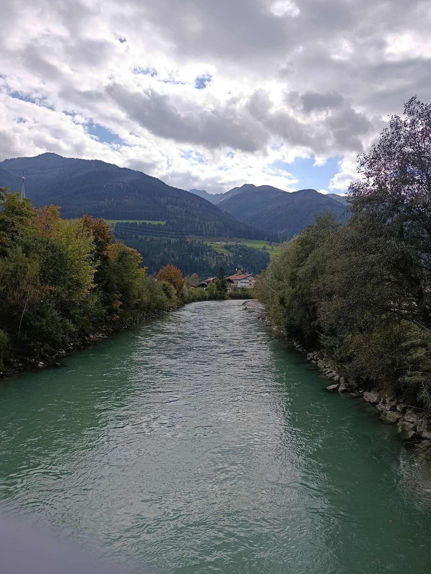
The route to Schaunbergalm takes you into the მშვიდ Mühlbach Valley - a pleasantly shaded destination, especially on warm summer days. The trail follows the Mühlbach through dense woodland, where the sound...
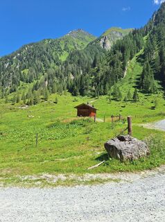
The route to Schaunbergalm takes you into the მშვიდ Mühlbach Valley - a pleasantly shaded destination, especially on warm summer days. The trail follows the Mühlbach through dense woodland, where the sound of flowing water and the cool air make for a refreshing ascent. As you gain altitude, the landscape gradually opens up. Between forests, alpine pastures and mountain views, the valley reveals its unspoilt natural beauty. Marmots, grazing animals and, with a bit of luck, free-roaming alpine pigs bring the tour to life. At Schaunbergalm, a cosy mountain hut awaits, serving regional specialities and offering sweeping views of the surrounding mountains. A well-ridable MTB tour for anyone looking to combine nature, tranquillity and a scenic alpine break.


The return journey follows the same route.
Suitable for the following bike types:
E-MTB* âï¸âï¸âï¸âï¸âï¸âï¸ from 6* XC hardtail (lightweight mountain bike without motor) âï¸âï¸âï¸âï¸âï¸ from 6* Full-suspension mountain bike (without motor) âï¸âï¸âï¸âï¸âï¸ from 6* Gravel bike âï¸âï¸âï¸ from 6**E-MTB: Rating based on the following requirements: minimum 625 Wh battery capacity and motor torque ot at least 70 Nm.
ð« Please stay on the marked routes at all times.
ð¯ Take a litter with you and do not leave anything in nature.
Only by acting responsibly can we preserve the forest and alpine pastures as places for recreation, as habitats, and as workplaces. Your behaviour directly influences public acceptance, so please ride considerately.
ð By bus: Bicycles cannot be transported on regional buses.
Sufficient parking facilities are available in the village square.
Free tour app "Piesendorf Niedernsill erleben"
ð² Google Play Store
ð² App Store
Or visit: piesendorf-niedernsill.at

Kamery internetowe z trasy



Popularne wycieczki w okolicy
- 4,3
Maurerkogel (Top)
Wędrówka 10,5 km - 4,7
Panorama route 3 peaks and 2 lakes
średniWędrówka 7,21 km - 5,0
Wasserfallboden/Mooserboden
ciężkiWędrówka 19,5 km - 4,6
Sigmund Thun Klamm, Klammsee, Bürgkogel
światłoWędrówka 4,56 km - 4,6
Runde um den Weißsee - Gletscherlehrpfad Uttendorf, Österreich
średniWędrówka 6,48 km - 4,6
Thumersbach, Runde um den Zeller See
światłoWędrówka 13,3 km - 4,7
Fusch: Gleiwitzer Hütte
ciężkiWędrówka 8,26 km - 4,5
Areitweg - Plettsauerkopf - Rundwanderung
średniWędrówka 11,8 km - 4,9
Hochsonnberg Runde
średniMountainbike 59,8 km - 4,4
Sigmund Thun Klamm
światłoWędrówka 3,10 km
Wędrówki i tropienie


Nie przegap ofert i inspiracji na następne wakacje
Twój adres e-mail została dodana do listy mailingowej.


